



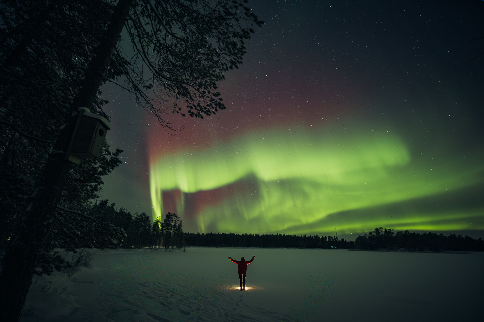
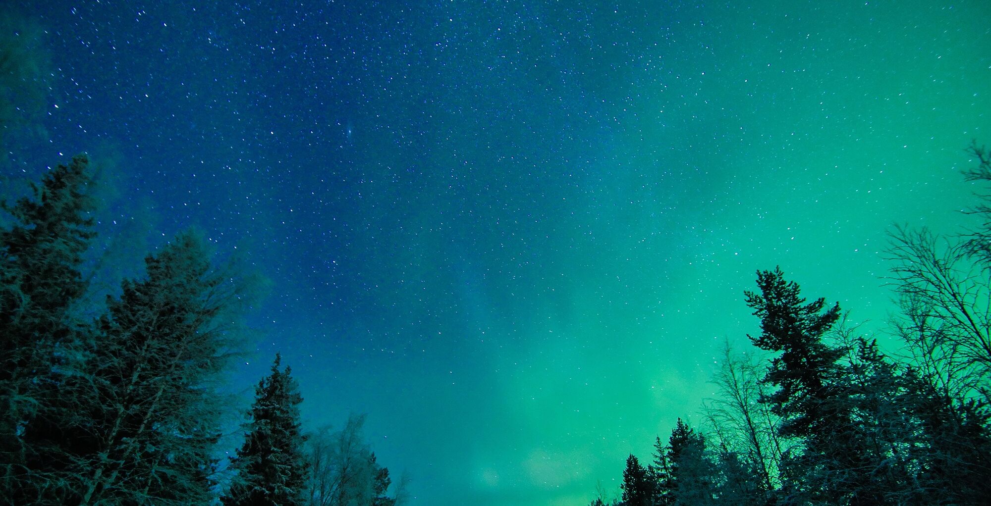
Northern Lights by foot: Route from Ruka village to Talvijärvi lake ("the big lake")

Poziom trudności: 1
This trai is downhill from Ruka village to Talvijärvi lake. Vice versa, it's uphill when you return to the village, so the return may take a bit longer.

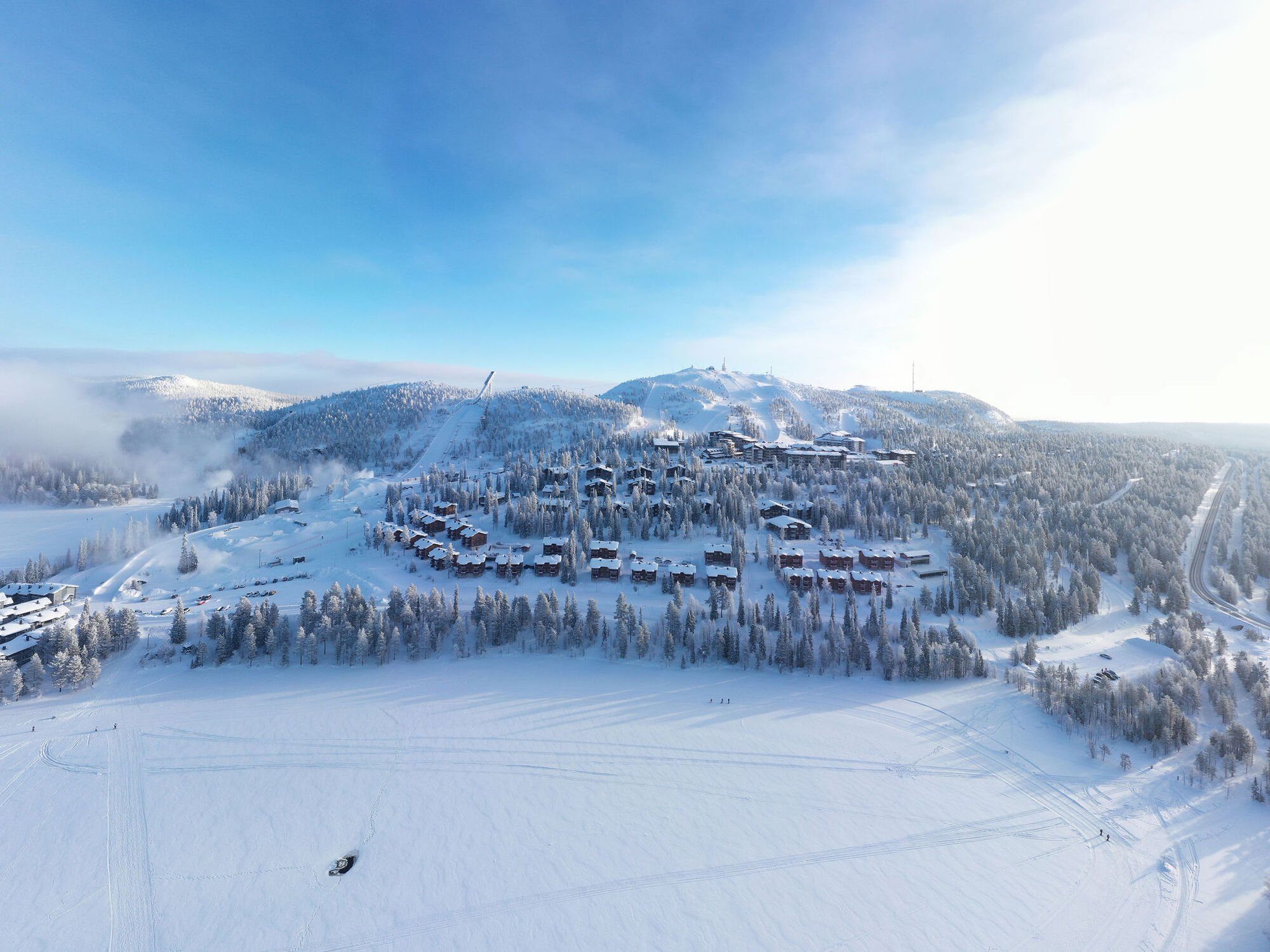

From Scenery Tower Tykky, follow the sidewalk past Scandic Rukahovi and Restaurant Zone. The path continues between the car parks, leading to the escalator building. While the escalators are mostly out of service, you can use the steps beside them to descend below the Talvijärvi slope to reach Ruka Ski Stadium.
Please note: There is a maintenance route past the escalator building that crosses the Talvijärvi slope, but this is not for pedestrians. Access to the slopes is strictly for skiers and snowboarders. Do not walk on the ski slope or on the lift line.
From Ruka Ski Stadium, follow the sidewalk towards Hotel Rukatonttu. The sidewalk ends at the hotel's car park. Walk past the last building of Hotel Rukatonttu and cross the road, where you'll find a short path leading down to the level of Lake Talvijärvi.
Once at the lake, please follow these guidelines:
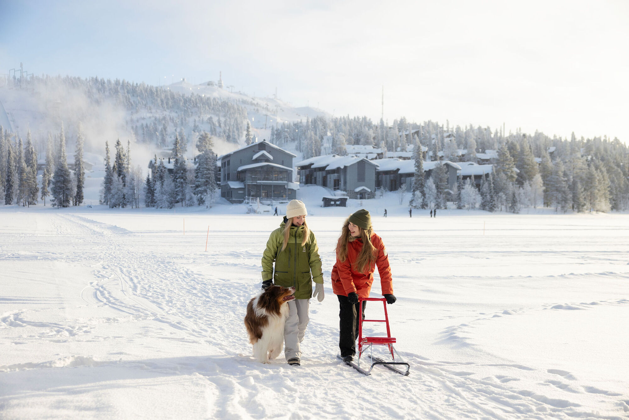
Stick to the designated walking routes. Do not walk on the cross-country ski tracks. For most of the winter, a separate groomed trail is available for walkers – just follow the signs. If no designated walking trail is available, you may use the existing footpaths left by others across the lake.Tak
Winter shoes and warm clothing. Bring some snacks and warm drink too!
For your own safety: Please do not walk on the ski slopes, lift lines, cross-country ski trails or snowmobile routes!
When moving on the lake, avoid the open water area at the southern end, where water is circulated with a pump to maintain the lake’s oxygen balance.
Stay on the well-trodden paths, as the weight of the snow on the ice may cause some water to rise onto the surface. This is not dangerous, but be careful not to get your feet wet!
We recommend wearing some reflective material so that you may be noticed by others in the dark.
More infromation about getting to Ruka on page https://www.ruka.fi/en/travelling-to-kuusamo/getting-here.
More information about getting around in Ruka-Kuusamo on page https://www.ruka.fi/en/travelling-to-kuusamo/getting-around .
Infromation about parking in Ruka village on page https://www.ruka.fi/en/travelling-to-kuusamo/getting-around/parking.
1
Keep an eye on the Northern LIghts Webcam at Pessari top and once you see some action, head down to the lake!
https://www.ruka.fi/en/skiresort/slopes/webcameras
Popularne wycieczki w okolicy
-
Valtavaaran huiputus Trail 5,7 km, Valtavaara-Pyhävaara Nature Reserve
średniWędrówka 5,76 km -
Vuosseli Outdoor Trail, Ruka Ski Resort, Kuusamo
światłoWędrówka 11,7 km -
Vuosseli XC mountain biking trail in Ruka, Kuusamo
światłoMountainbike 11,7 km -
Juhannuskallio snowshoe trail in Ruka, Kuusamo
światłoRakieta do chodzenia po śniegu 0,51 km -
Pyhän jyssäys Trail 6 km, Valtavaara-Pyhävaara Nature Reserve
średniWędrówka 5,81 km -
Rukankierros XC Circle Trail around Ruka Ski Resort, Kuusamo
światłoMountainbike 8,60 km -
Juhannuskallio trail in Ruka, Kuusamo
światłoWędrówka 0,51 km -
Kivilampi XC mountain biking trail in Ruka, Kuusamo
światłoMountainbike 5,05 km -
Ruka Scenic Trail
światłoWędrówka 0,67 km -
Valtavaara Winter Trail 5.5 km, Valtavaara-Pyhävaara Nature Reserve
ciężkiRakieta do chodzenia po śniegu 4,83 km
Wędrówki i tropienie


Nie przegap ofert i inspiracji na następne wakacje
Twój adres e-mail została dodana do listy mailingowej.


