


Kivilampi XC mountain biking trail in Ruka, Kuusamo
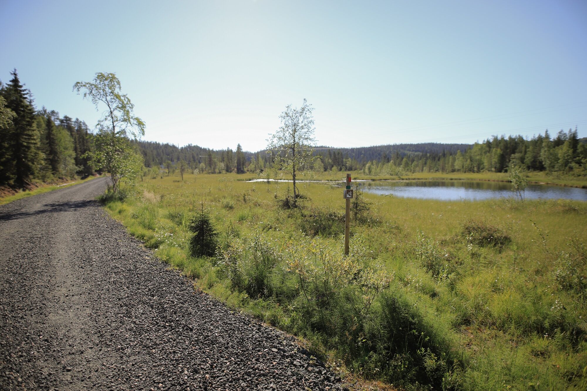
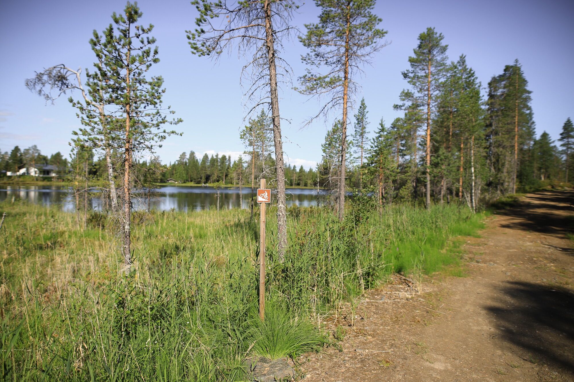
This mountain biking trail will make a loop beside the waterfront of Kivilampi pond and follow the same track to the starting point.
Short and easy trail without steep declines for families with children....
This mountain biking trail will make a loop beside the waterfront of Kivilampi pond and follow the same track to the starting point.
Short and easy trail without steep declines for families with children. In the beginning the route follows asphalt road but mostly this trail follows a gravel road.
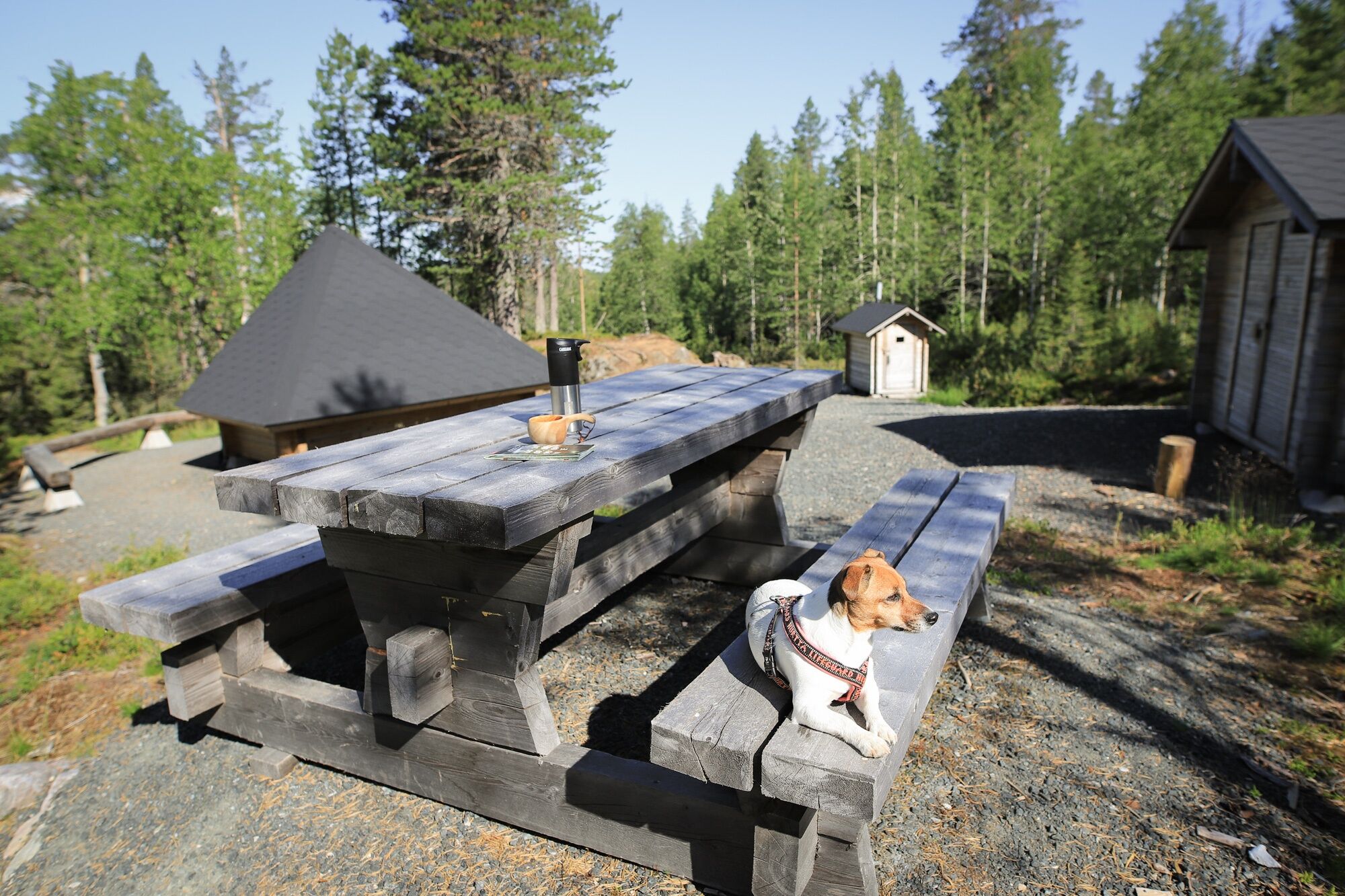
Kivilampi lean-to shelter is located approximately half way of the loop and is marked with a signpost. Easily accessible lean-to shelter is a great choice for a halfway break and has dry toilet, a picnic table and firewood storage.

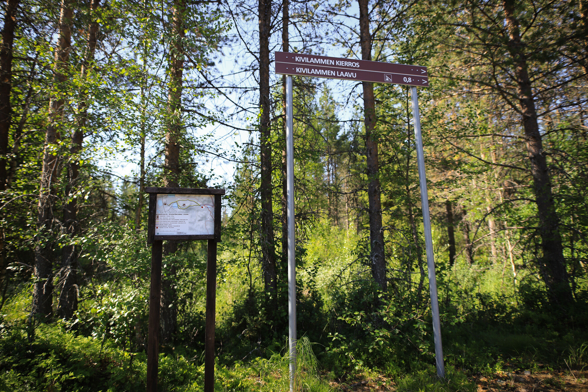
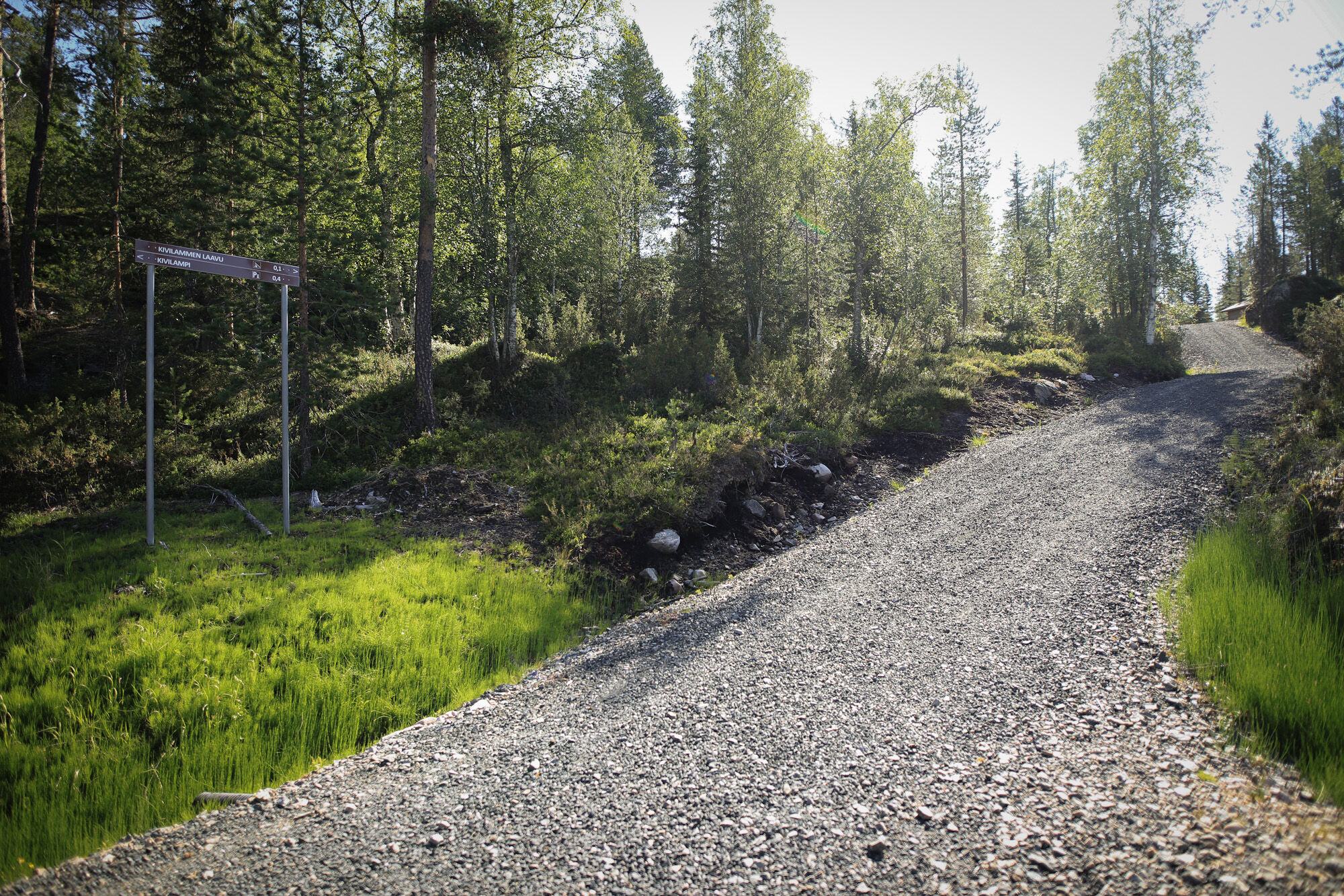
Juhannuskallio parking lot - follow Pyhävaara/Kivilampi signs until you reach the crossroads near Rytilampi pond - turn right towards Rytilampi and Kivilampi ponds. At the crossroads (Y-section) ride counter-clockwise to make to loop pass Kivilampi. Follow the same route back.
Tak
Tak
Mountain bike and helmet
Please note: In the wintertime this trail is used as a ski track – mountain biking and walking on the trail is forbidden during the winter.
From the starting point at Juhannuskallio (Pirunkirkko) parking lot, follow the road called "Plantingintie". When that turns left, go straight and follow road Rukanriutta until you see track that goes under that road. Take that track and follow "Kivilampi" signs.
The distance from Ruka Ski Resort pedestrian village (Ruka Village) to Juhannuskallio parking area is 1,6 km.
See options on how to get to Ruka from ruka.fi.
Information on arriving to Ruka Ski Resort
Closest airport: Kuusamo (31 km). A regular bus connection between the airport and Kuusamo, Ruka and Salla is operated by Pohjolan Matka according to the flight schedules.
Information about the public transport to and from Kuusamo airport can be found from Finavia web pages.
Nearest bigger parking lot can be found from Juhannuskallio, see location in Google Maps (66°09'22.2"N 29°09'05.4"E).
Smaller parking lot closer to the lean-to shelter is located in Kivilammenkuja.
Trail is also accessible on foot
Live like a Finn - take a break at the lean-to shelter near Kivilampi, make fire and grill a sausage!
Popularne wycieczki w okolicy
Vuosseli XC mountain biking trail in Ruka, Kuusamo
światłoMountainbike 11,7 kmVuosseli Outdoor Trail, Ruka Ski Resort, Kuusamo
światłoWędrówka 11,7 kmValtavaaran huiputus Trail 5,7 km, Valtavaara-Pyhävaara Nature Reserve
średniWędrówka 5,76 kmJuhannuskallio snowshoe trail in Ruka, Kuusamo
światłoRakieta do chodzenia po śniegu 0,51 kmPyhän jyssäys Trail 6 km, Valtavaara-Pyhävaara Nature Reserve
średniWędrówka 5,81 kmRukankierros XC Circle Trail around Ruka Ski Resort, Kuusamo
światłoMountainbike 8,60 kmKouvervaara XC Bike Route 43 km in Kuusamo
światłoMountainbike 42,6 kmJuhannuskallio trail in Ruka, Kuusamo
światłoWędrówka 0,51 kmRuka Top XC Bike Trail in Ruka, Kuusamo
światłoMountainbike 3,89 kmValtavaara Winter Trail 5.5 km, Valtavaara-Pyhävaara Nature Reserve
ciężkiRakieta do chodzenia po śniegu 4,83 km
Wędrówki i tropienie


Nie przegap ofert i inspiracji na następne wakacje
Twój adres e-mail została dodana do listy mailingowej.