





Pyhän jyssäys Trail 6 km, Valtavaara-Pyhävaara Nature Reserve

Pyhän Jyssäys trail starts from the cottage area of Ruka but soon you will find yourself from a forestry path ascending to Pyhävaara hill.
This route is not going all the way to the highest point of Pyhävaara...
Pyhän Jyssäys trail starts from the cottage area of Ruka but soon you will find yourself from a forestry path ascending to Pyhävaara hill.
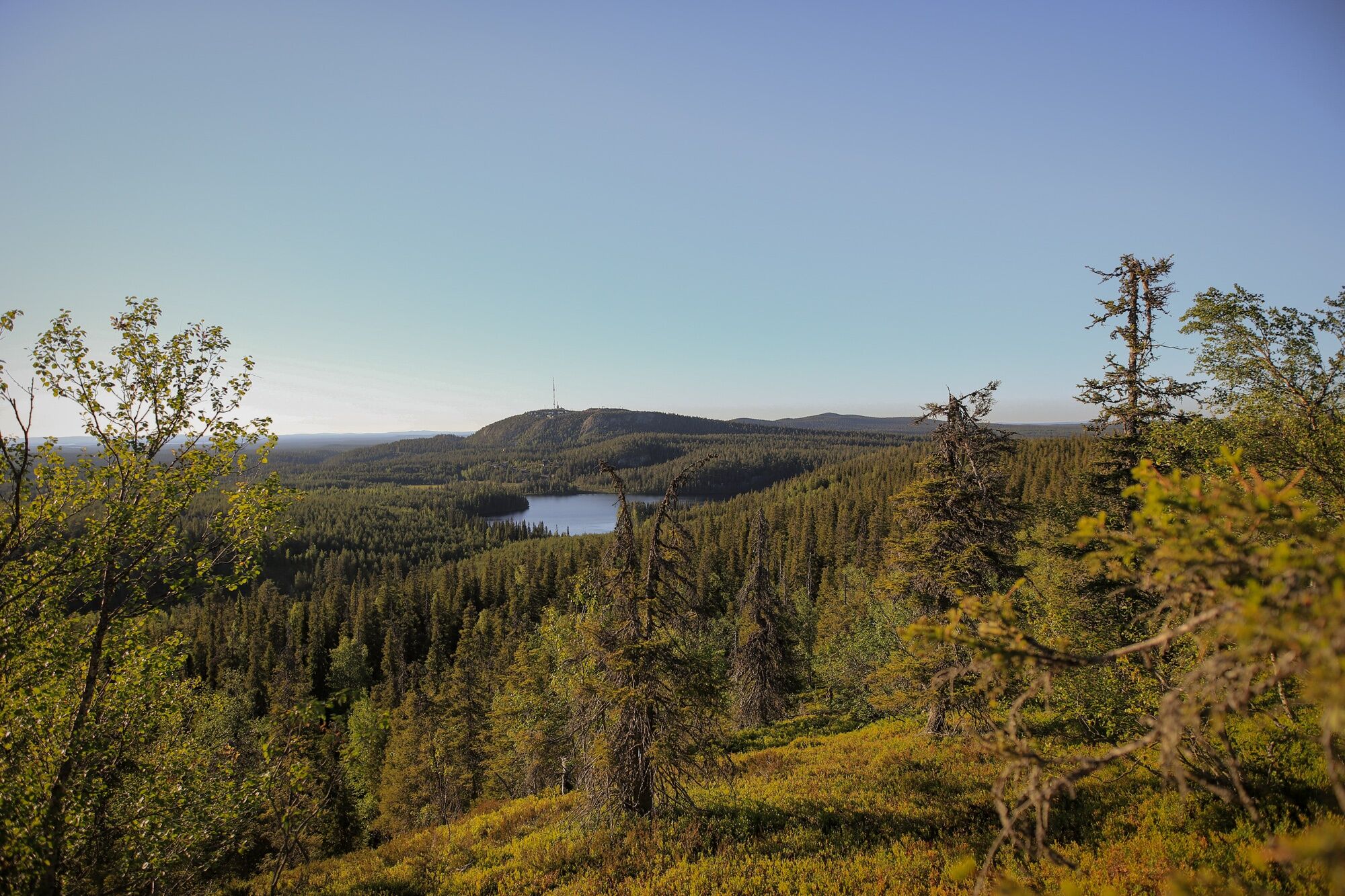
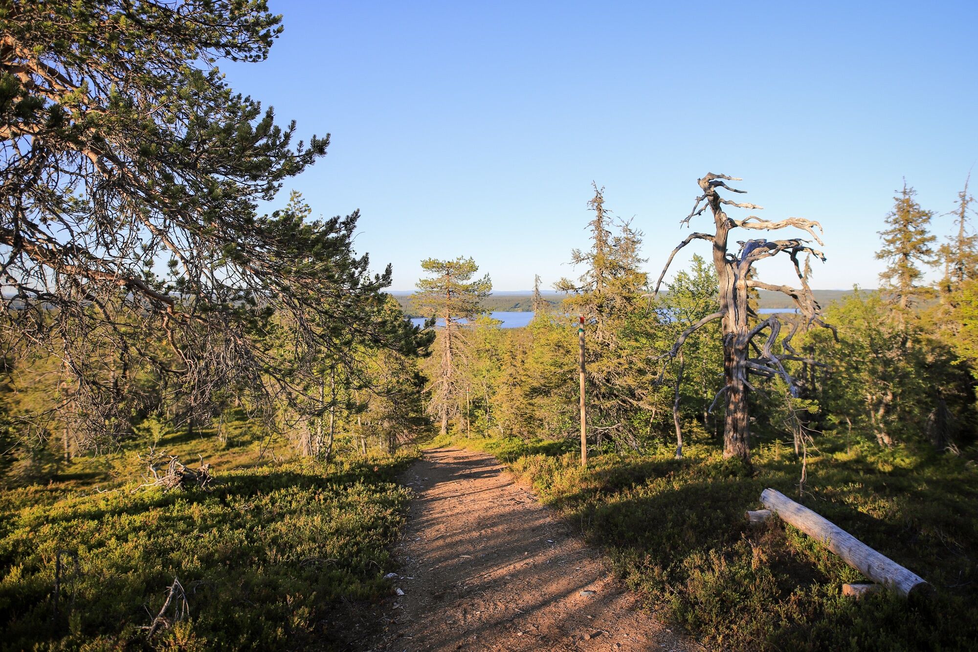
This route is not going all the way to the highest point of Pyhävaara but on the top of Pikku Pyhävaara, "small" Pyhävaara. However the trail offers quite nice views to surrounding fells and lakes. Trail is quite easy to walk, since it is covered with gravel or sawdust for the whole way, with just a couple of duckboards covering marsh areas.
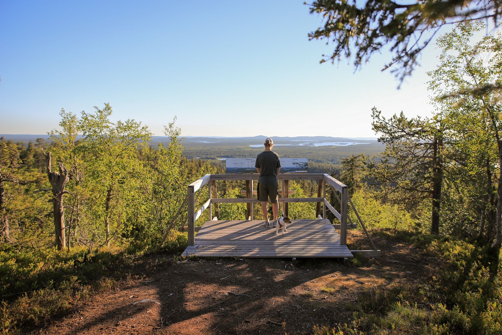
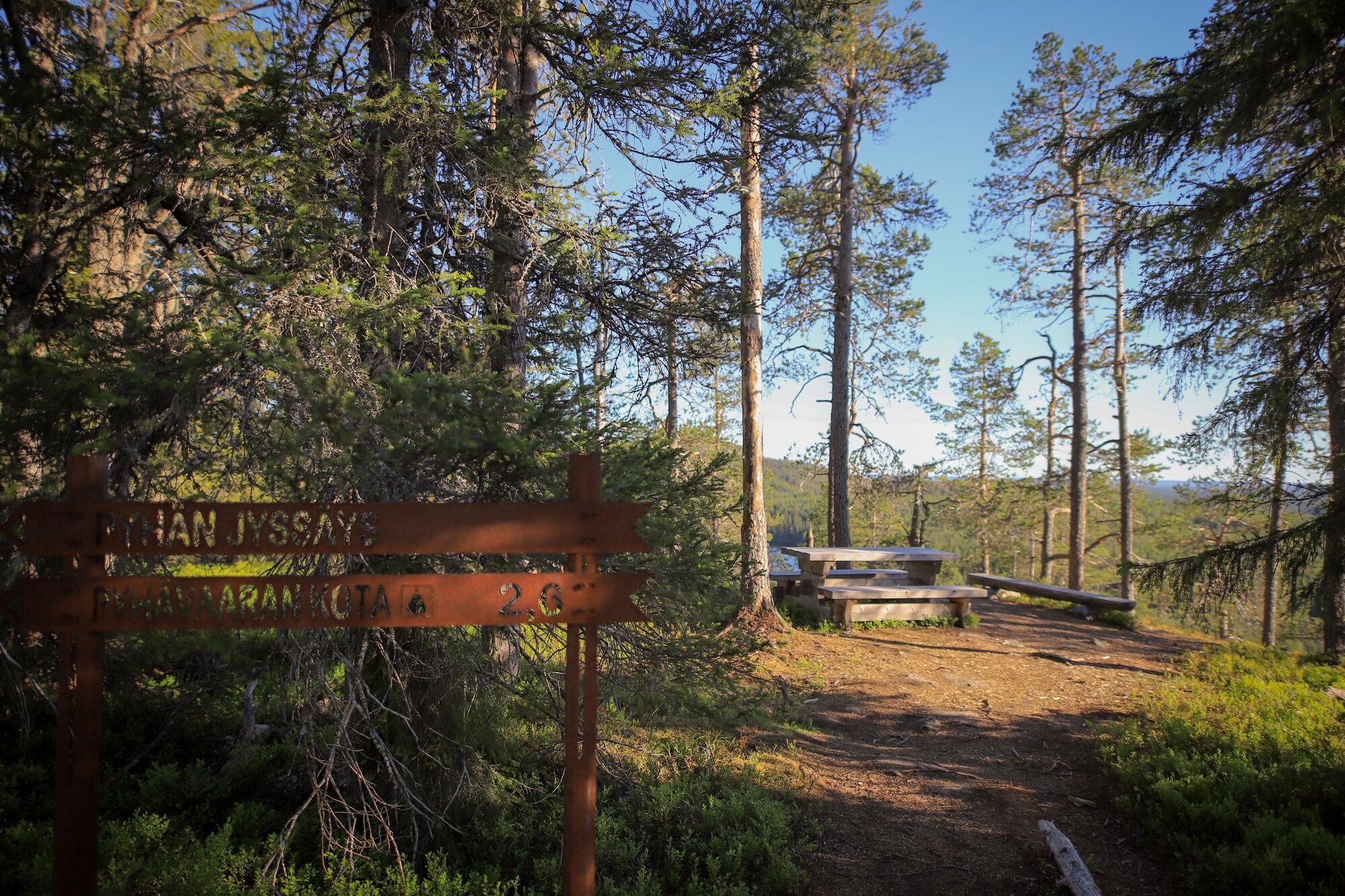
Pyhävaara Lappish hut, a campfire site and dry toilets are located on the halfway of the trail, on the highest point of Pyhän Jyssäys trail. A viewpoint with information sign pointing out the nearest fells and lakes is located near the hut.
"Pyhä" means sacred or holy, and it is known that Pyhävaara has been a sacred place for Sami people, the indigenous people of the north. Until year 1830, a sacred stone called "seita" was located in the top of Pyhävaara.
In the wintertime, Pyhän Jyssäys trail can be hiked with snowshoes.

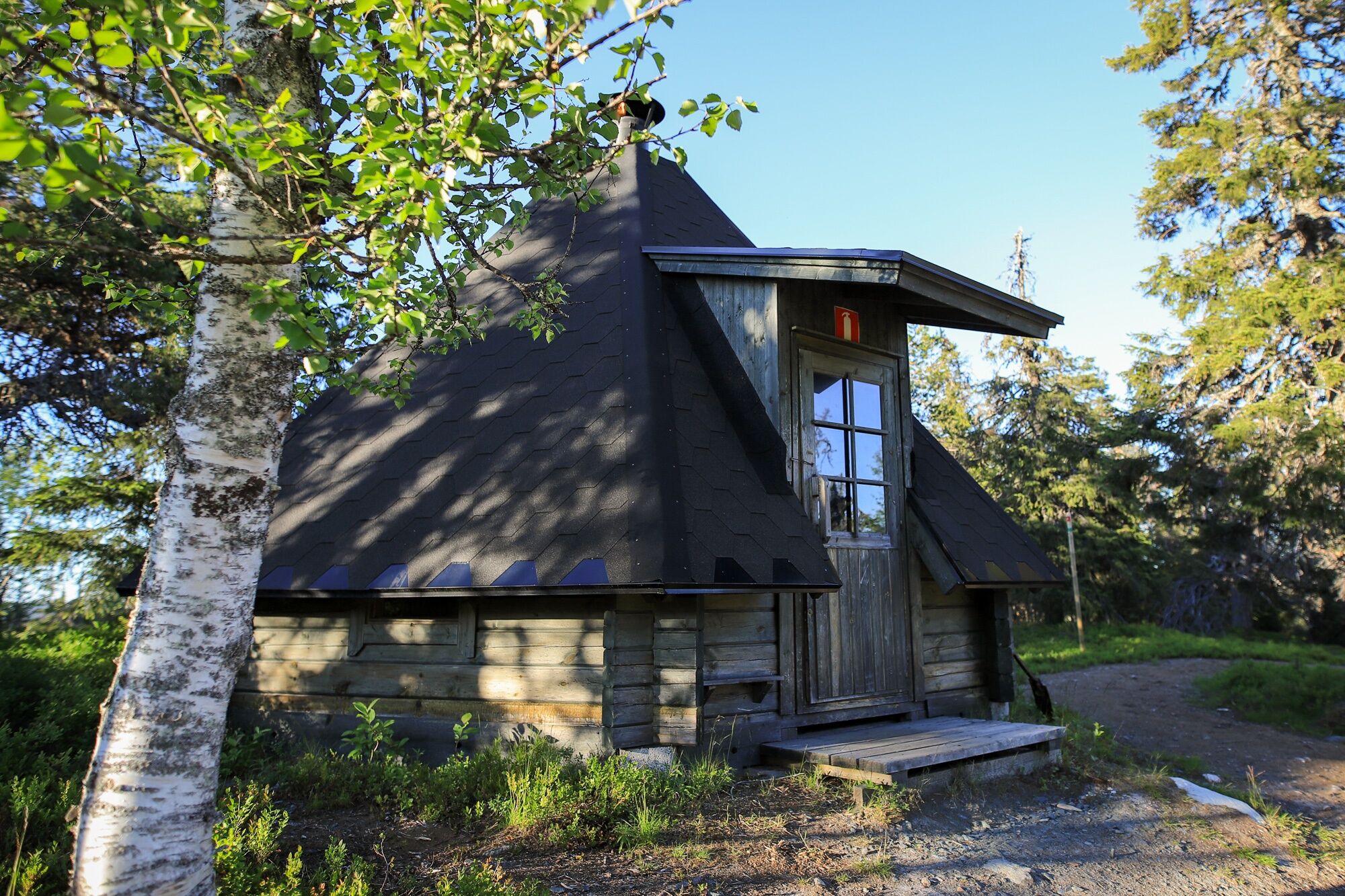
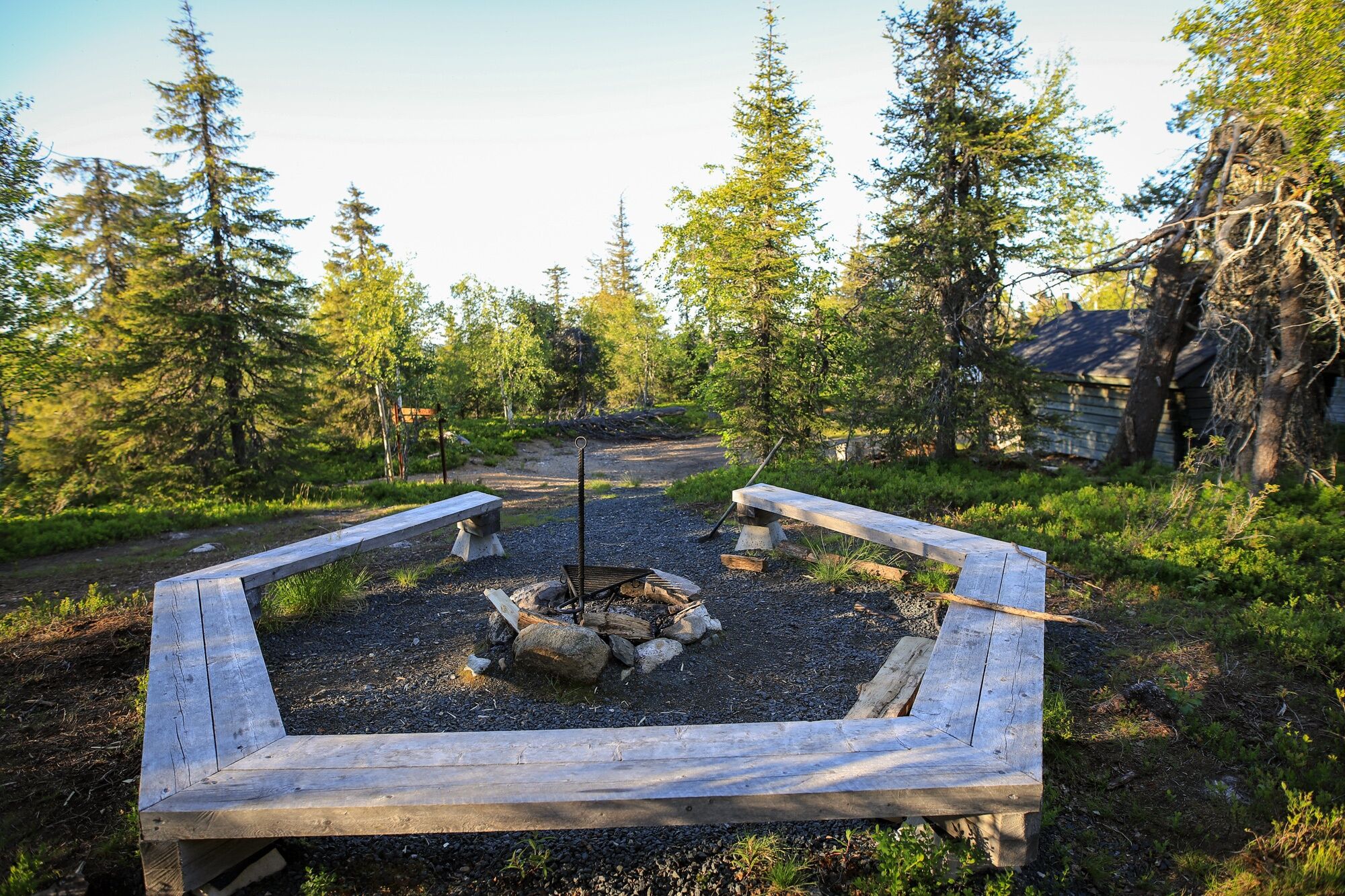
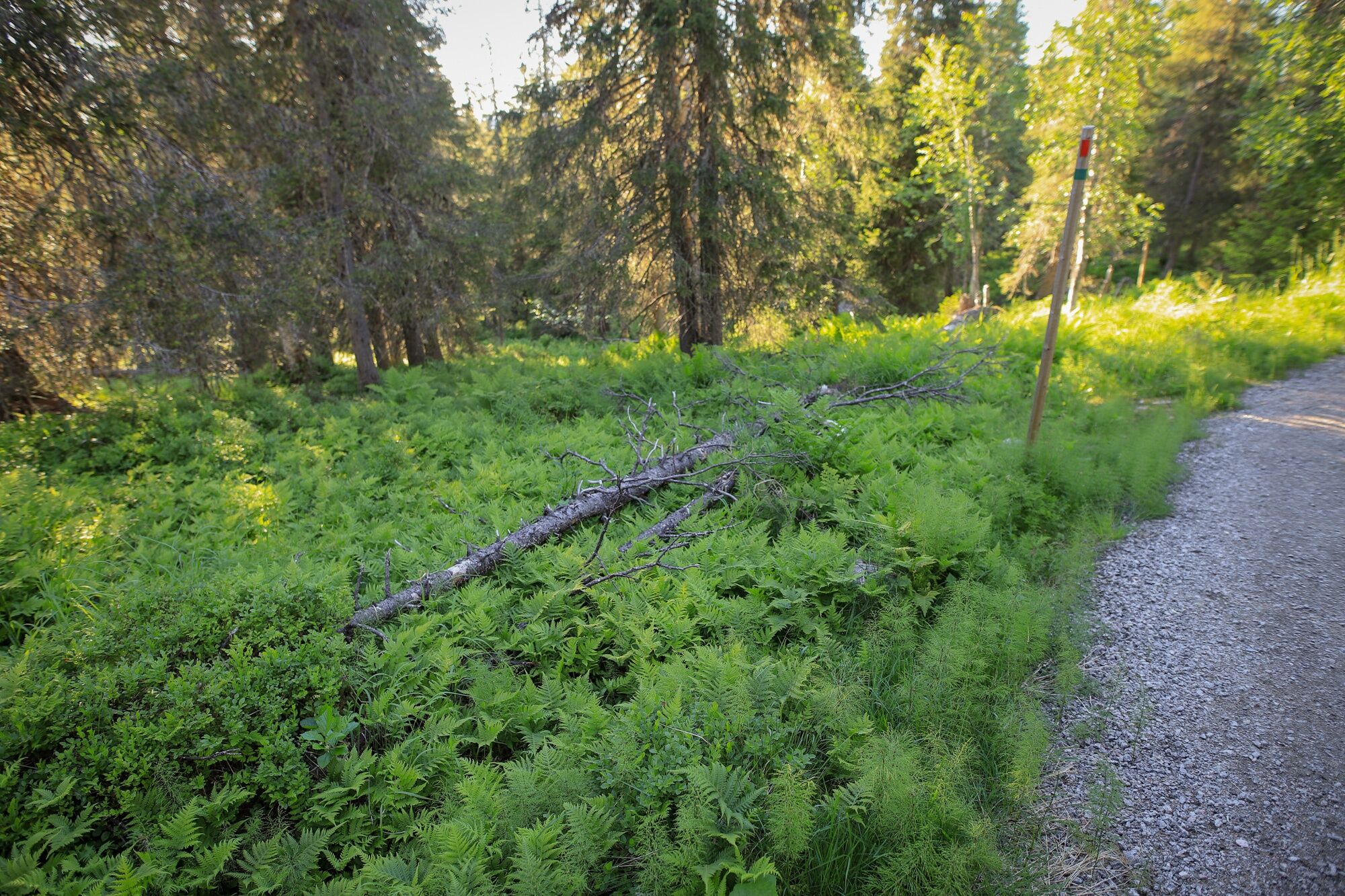

The distance from Ruka Ski Resort pedestrian village (Ruka Village) to Pyhän Jyssäys trail starting point is 1,8 km.
See options on how to get to Ruka from ruka.fi.
See info on arriving to Ruka Ski Resort here.
Closest airport: Kuusamo (31 km). A regular bus connection between the airport and Kuusamo, Ruka and Salla is operated by Pohjolan Matka according to the flight schedules.
Information about the public transport to and from Kuusamo airport can be found from Finavia web pages.
The postsigns to Pyhän Jyssäys trail starts from address Petäjäkuja 1, Rukatunturi. There are a couple of parking spots right next to it in the crossroad of Plantingintie and Petäjäkuja roads.
Nearest bigger parking lot can be found from Pirunkirkko, see location in Google Maps (66°09'22.2"N 29°09'05.4"E). From the parking lot, follow the road called "Plantingintie" to the starting point of the trail.
More options for parking in Ruka here.
Valtavaara-Pyhävaara Nature Reserve in Finnishparks.fi.
More information about accommodation, activities, services in Ruka in ruka.fi.
Popularne wycieczki w okolicy
-
Vuosseli Outdoor Trail, Ruka Ski Resort, Kuusamo
światłoWędrówka 11,7 km -
Valtavaaran huiputus Trail 5,7 km, Valtavaara-Pyhävaara Nature Reserve
średniWędrówka 5,76 km -
Vuosseli XC mountain biking trail in Ruka, Kuusamo
światłoMountainbike 11,7 km -
4,0
Nissinvaara XC Biking Trail in Kuusamo
światłoMountainbike 28,6 km -
Juhannuskallio snowshoe trail in Ruka, Kuusamo
światłoRakieta do chodzenia po śniegu 0,51 km -
Rukankierros XC Circle Trail around Ruka Ski Resort, Kuusamo
światłoMountainbike 8,60 km -
Juhannuskallio trail in Ruka, Kuusamo
światłoWędrówka 0,51 km -
Kivilampi XC mountain biking trail in Ruka, Kuusamo
światłoMountainbike 5,05 km -
Ruka Scenic Trail
światłoWędrówka 0,67 km -
Valtavaara Winter Trail 5.5 km, Valtavaara-Pyhävaara Nature Reserve
ciężkiRakieta do chodzenia po śniegu 4,83 km
Wędrówki i tropienie


Nie przegap ofert i inspiracji na następne wakacje
Twój adres e-mail została dodana do listy mailingowej.





