





Nissinvaara XC Biking Trail in Kuusamo
Nissinvaara Bike Trail is a 24,5 km long round route starting from Holiday Club Kuusamon Tropiikki. This variable terrain route leads you through pine woods, marsh lands and Nissinvaara and Kapustavaara...
Route is available for hikers, trails runners and bikers alike.

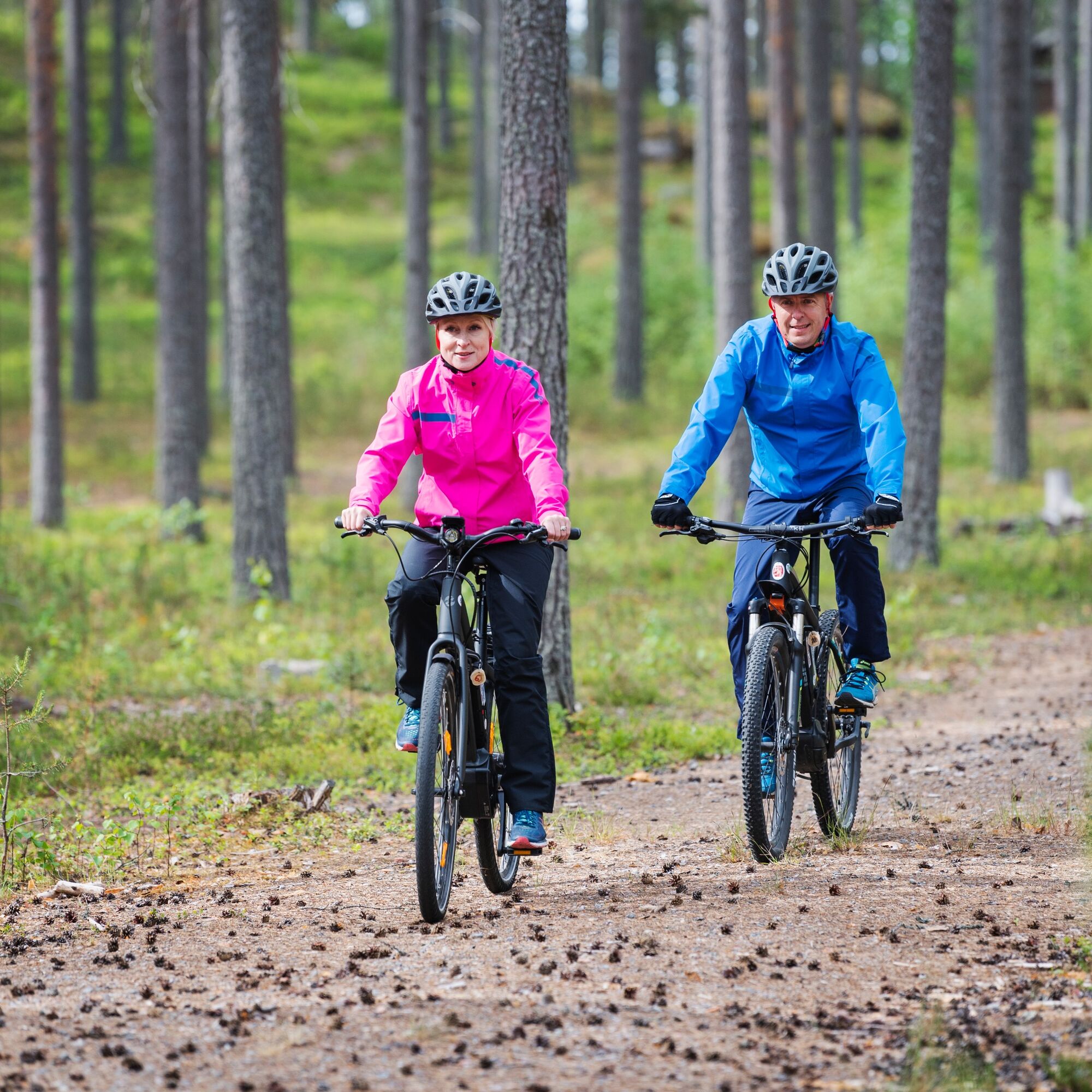
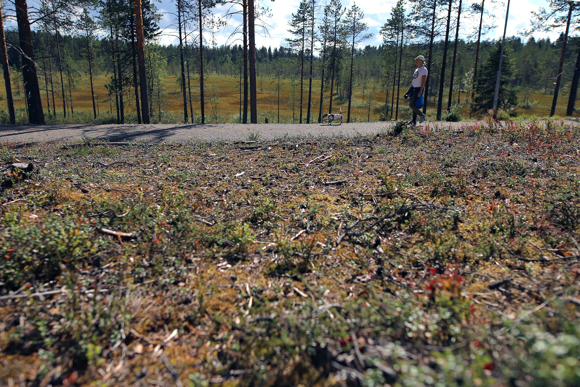
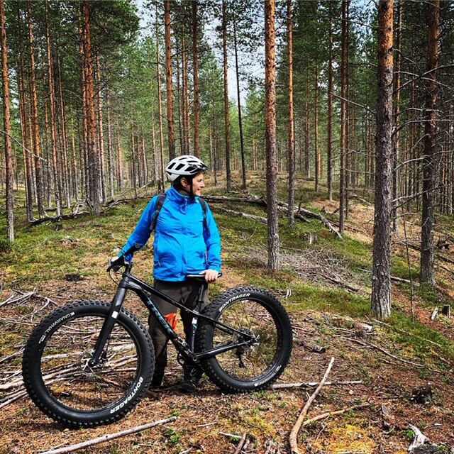
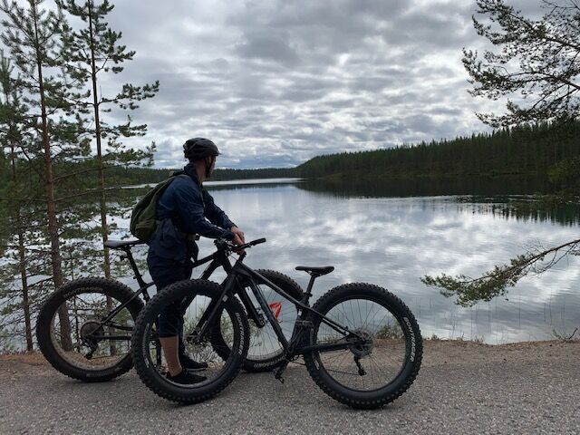
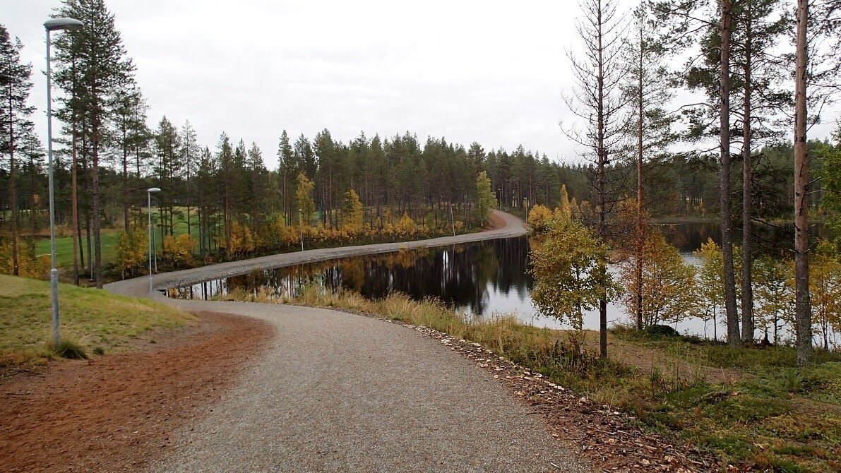
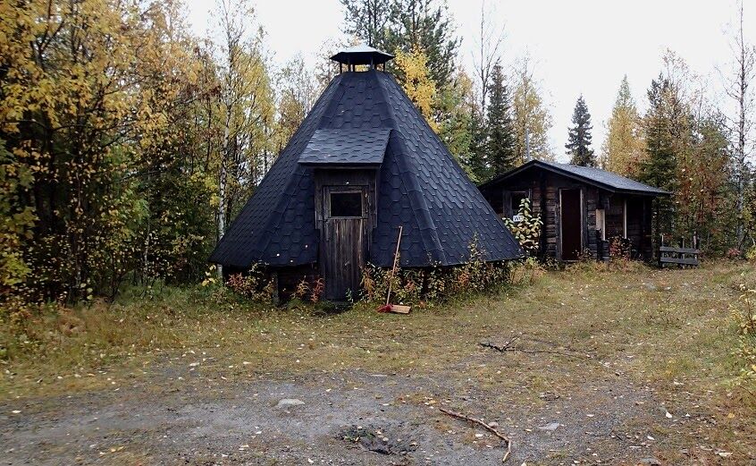
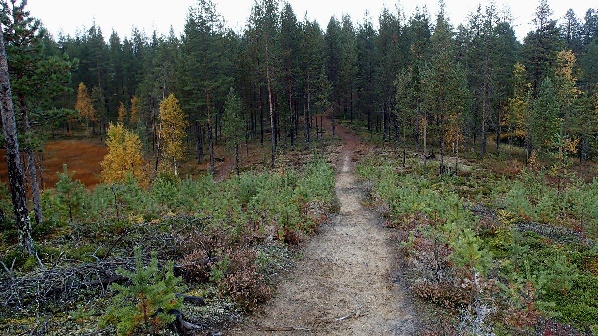
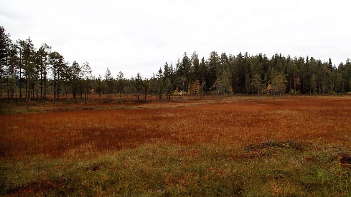
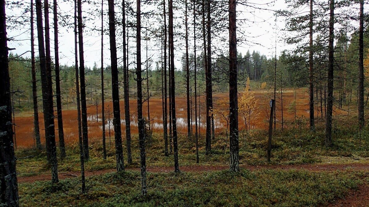

The first 8 km leg of the route crosses dry pine heats and winding forest paths and roads. Nissinjoki campfire site is about 7 km from the start point. There are also wetlands along this part of the route. The second leg's first two kilometers follow a trek accross pine heaths after which the path joins an asphalt road through the small rustic Nissinvaara village. Along the route you will pass hay fields and country houses. Slow down when you approach the village with its red painted wooden buildings and blooming gardens. Then follows the technically most demanding part of bike tour, the marshy forest path. If this about 1 km long part is too demanding you can walk your bike. The route continues on an old road called Kapustavaarantie with steep climbs up to the highest points in fell Kapustavaara which is the highest point of the route and a good moment to take a break. There is a Lappish hut on the top of fell, apprx. 15 km from the start. Once back on the bikes the route continues downhill, the forests flanking the road flashing by. Keep in mind that downhill part can be moist after rain. You arrive to village area of Mäkelä where starts the most varied terrain part towards Saapunki village. Graveled road from Saapunki village is very idyllic and after this part the route returns to path familiar from the beginning of the journey.
Tak
Mountain bike, helmet.
Please be aware of other traffic whenever using combined routes and crossing larger roads.
From Kuusamo center take E63 road towards north (Ruka/Kemijärvi). Drive forward about 5 km and there is a sign for Holiday Club Kuusamon Tropiikki to right. Drive the road Kitkantie a few hundred meters and turn left to the hotel.
From Ruka take E63 road south to direction Kuusamo. Drive about 20 km and turn left when you see the sign of Holiday Club Kuusamon Tropiikki. Drive the road Kitkantie a few hundred meters and turn left to the hotel.
Getting to Kuusamo: https://www.ruka.fi/en
Getting around in Kuusamo: https://www.ruka.fi/en/getting-around
Free large parking area by the hotel.
Duration about 3-5 hours.
Please note: The Kapustavaara hut is temporarily closed due to misuse.


Popularne wycieczki w okolicy
Vuosseli XC mountain biking trail in Ruka, Kuusamo
światłoMountainbike 11,7 kmVuosseli Outdoor Trail, Ruka Ski Resort, Kuusamo
światłoWędrówka 11,7 kmJuhannuskallio snowshoe trail in Ruka, Kuusamo
światłoRakieta do chodzenia po śniegu 0,51 kmPyhän jyssäys Trail 6 km, Valtavaara-Pyhävaara Nature Reserve
średniWędrówka 5,81 kmKivilampi XC mountain biking trail in Ruka, Kuusamo
światłoMountainbike 5,05 kmJuhannuskallio trail in Ruka, Kuusamo
światłoWędrówka 0,51 kmRuka Top XC Bike Trail in Ruka, Kuusamo
światłoMountainbike 3,89 kmPetäjäkangas trail around golf course in Kuusamo
światłoBieganie 3,49 kmWinter walking route from the village of Ruka to Lammintupa
światłoWędrówka zimą 8,66 kmKalliolampi XC Circle Bike Trail in Ruka, Kuusamo
światłoJazda na rowerze 3,91 km

Wędrówki i tropienie


Nie przegap ofert i inspiracji na następne wakacje
Twój adres e-mail została dodana do listy mailingowej.





