







CAMIN FARRAT HIKE
Starting from Soubès, follow the botanical trail and then the old salt road to reach the foothills of the Larzac plateau. This walk offers a unique viewpoint over the Bout-du-Monde cirque.


1
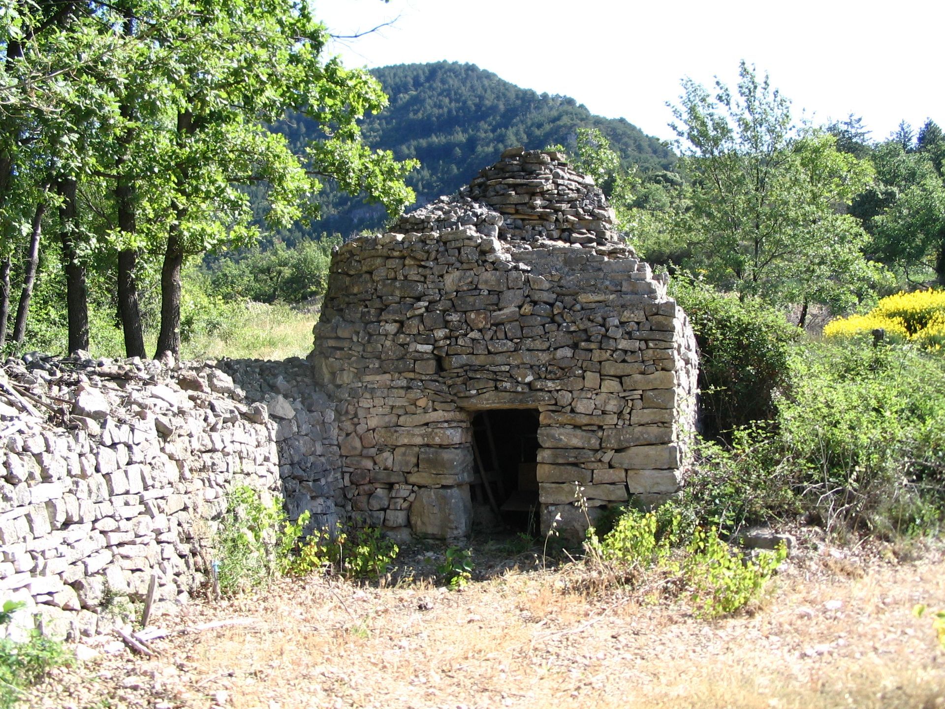
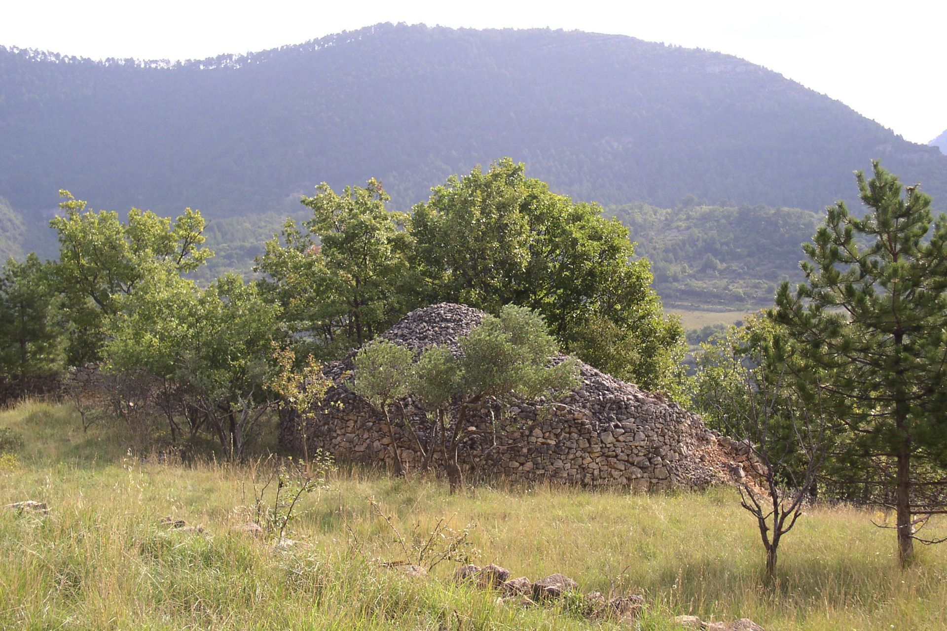
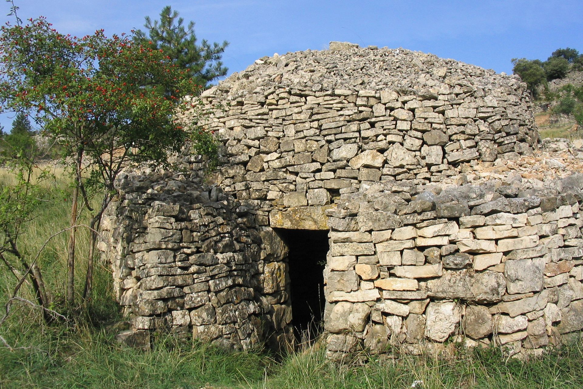
From the parking, take rue Pécoule, then rue de la Traverse to the left, rue du Bufadou, and the concrete road to the left. Descend, cross the bridge, cross the road and climb opposite into the housing estate. Continue through vineyards, broom, and oaks. Take the path on the right that runs alongside a dry stone hut (capitelle), continue the ascent along the drover's track and reach an intersection (GR® 71). In the pine forest, climb left for 300 m, then leave the GR®. Pass a spring, descend, cross the intermittent stream bed, follow it and climb up to an old mine. Turn left, use the steps along the fences, cross the GR®, climb opposite and reach a junction. > Short circuit variation (1 h 30, 4.5 km): descend the botanical trail. After the viewpoint (bench, view over Lodévois), continue descending in switchbacks, go right, follow the GR® 71 to the left (dry stone huts), the road, then the path that runs down into the housing estates. Cross the road, take the path to the right, cross the stream (stepping stones) and reach the school at point 7 (yellow marking).
2
Turn left, continue ascending in the pine forest, pass the Coutelles dolmen and climb a steep section.
3
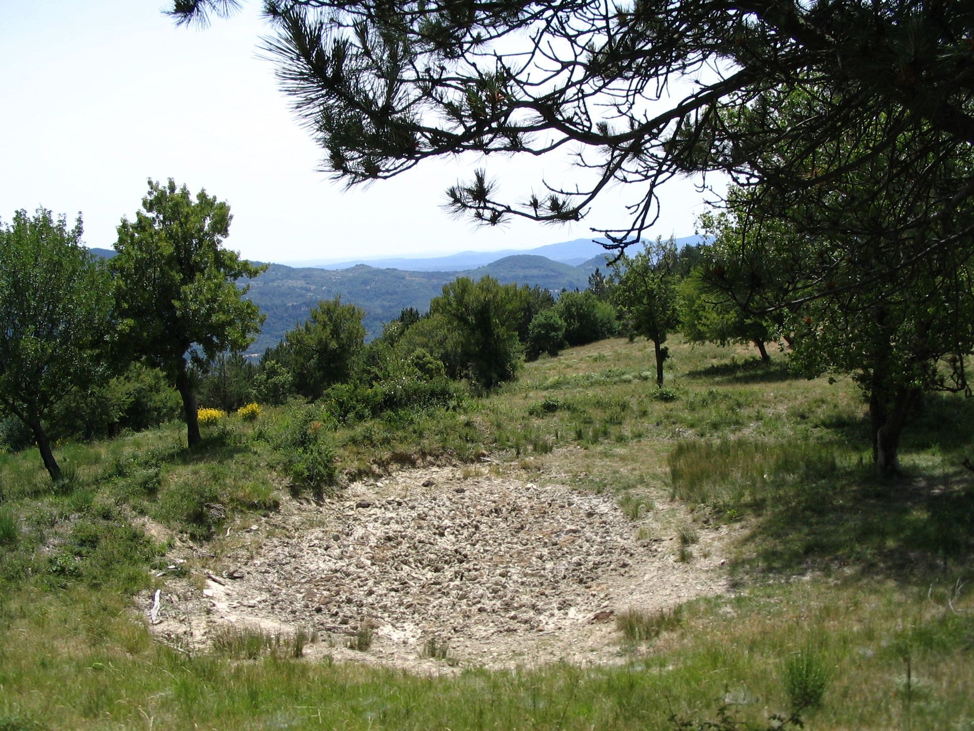
Cross the forest track, then take the path. In front of a ruin, turn left and arrive at a second dolmen. Continue, cross a meadow and meet a track at the level of a watering place. Descend to the right and continue straight on the main track. It runs on a balcony for 3 km and reaches a junction.
4
Climb the left track to a water tank.
5
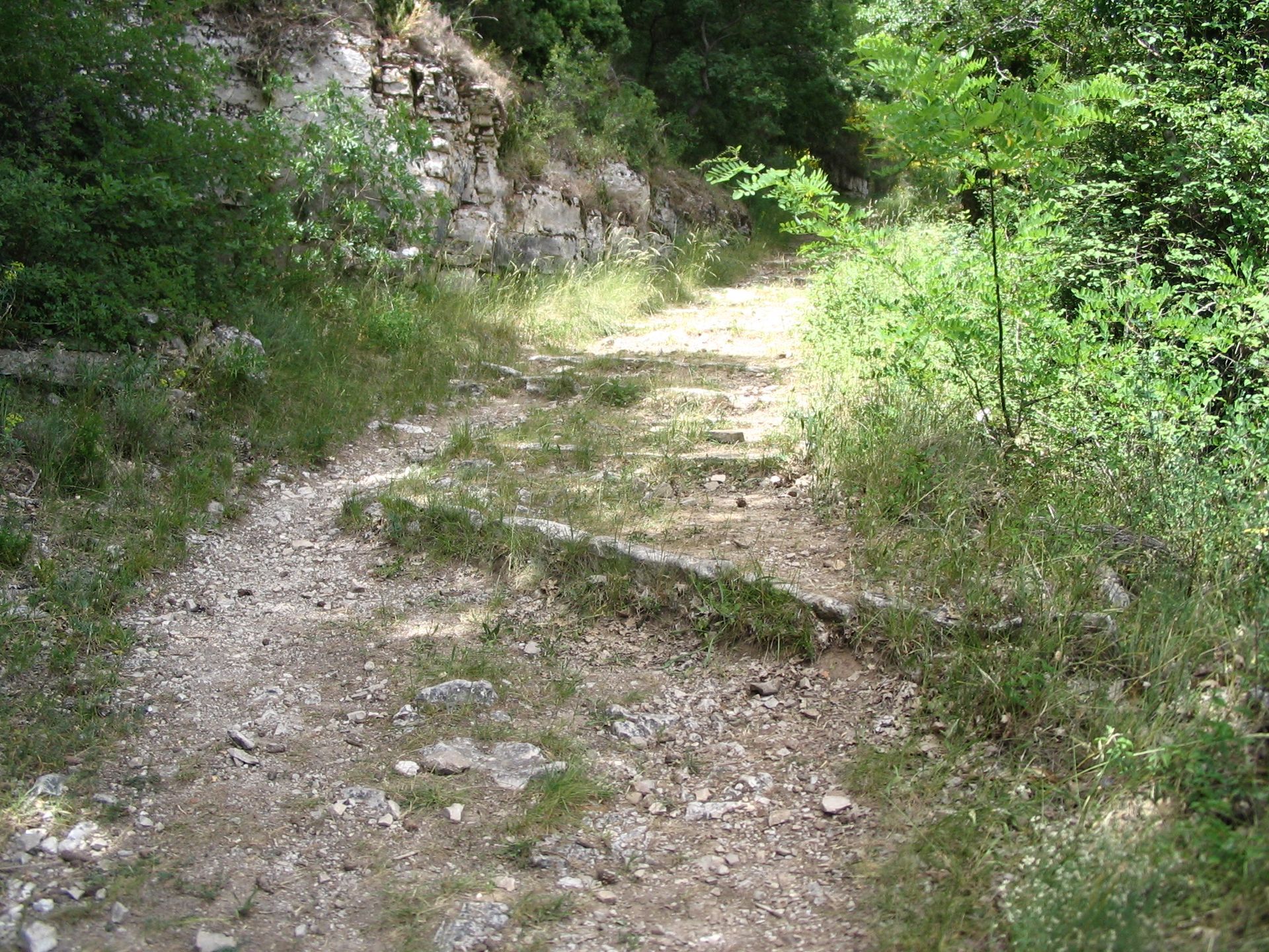
Descend to the right (view of the Bout-du-Monde cirque) along the salt cobbled path (because of the steps, carts had to have iron-rimmed wheels, hence the name Camin Farrat). Ignore on the left a first path departure and shortly after reach the junction with the PR® of the Bout-du-Monde cirque.
6
Continue descending on the main path, alongside cultivated vineyards, then at a bend near houses, leave the track and take the path on the left along a fence. Continue on the road, pass the retirement home and descend to the school.
7
At the foot of the castle, continue along chemin des Garennes, place de la Fontaine, rue Pourtanel, and rue Pécoule before returning to the parking lot.
In case of emergency, call 112.
Yellow PR
+33 4 67 67 76 36
DEPARTMENTAL COUNCIL OF HÉRAULT, SPORTS AND NATURE DEPARTMENT
PDESI
Popularne wycieczki w okolicy
-
5,0
LES VAILHÉS HIKING TRAIL
średniWędrówka 9,28 km -
5,0
CIRCUIT N°1 LE LAC DU SALAGOU - ESPACE VTT-FFC DU SALAGOU
średniMountainbike 26,9 km -
4,0
HIKE OF THE GRÉZAC PLATEAU
średniWędrówka 14,0 km -
HIKING OF THE FENESTRETTES
średniWędrówka 10,4 km -
HIKE FROM DRY VALLEYS TO SOTCHS
średniWędrówka 11,5 km -
LAVAL DE NIZE HIKE
światłoWędrówka 6,07 km -
TRAIL OF THE TOUR OF LAKE SALAGOU (SHORES OF CLERMONT) - GR® OF THE REGION BETWEEN 2 LAKES Avène – Salagou
średniTrailrunning 25,6 km -
HIKING TOUR IN THE HEART OF THE CAUSSE - GR® DE PAYS TOUR DU LARZAC MÉRIDIONAL
średniWędrówka 56,7 km -
CORNICHES DE LAUROUX HIKE
średniWędrówka 13,8 km -
MONT SAINT-BAUDILLE HIKE
średniWędrówka 10,4 km
Wędrówki i tropienie


Nie przegap ofert i inspiracji na następne wakacje
Twój adres e-mail została dodana do listy mailingowej.





