







LAVAL DE NIZE HIKE
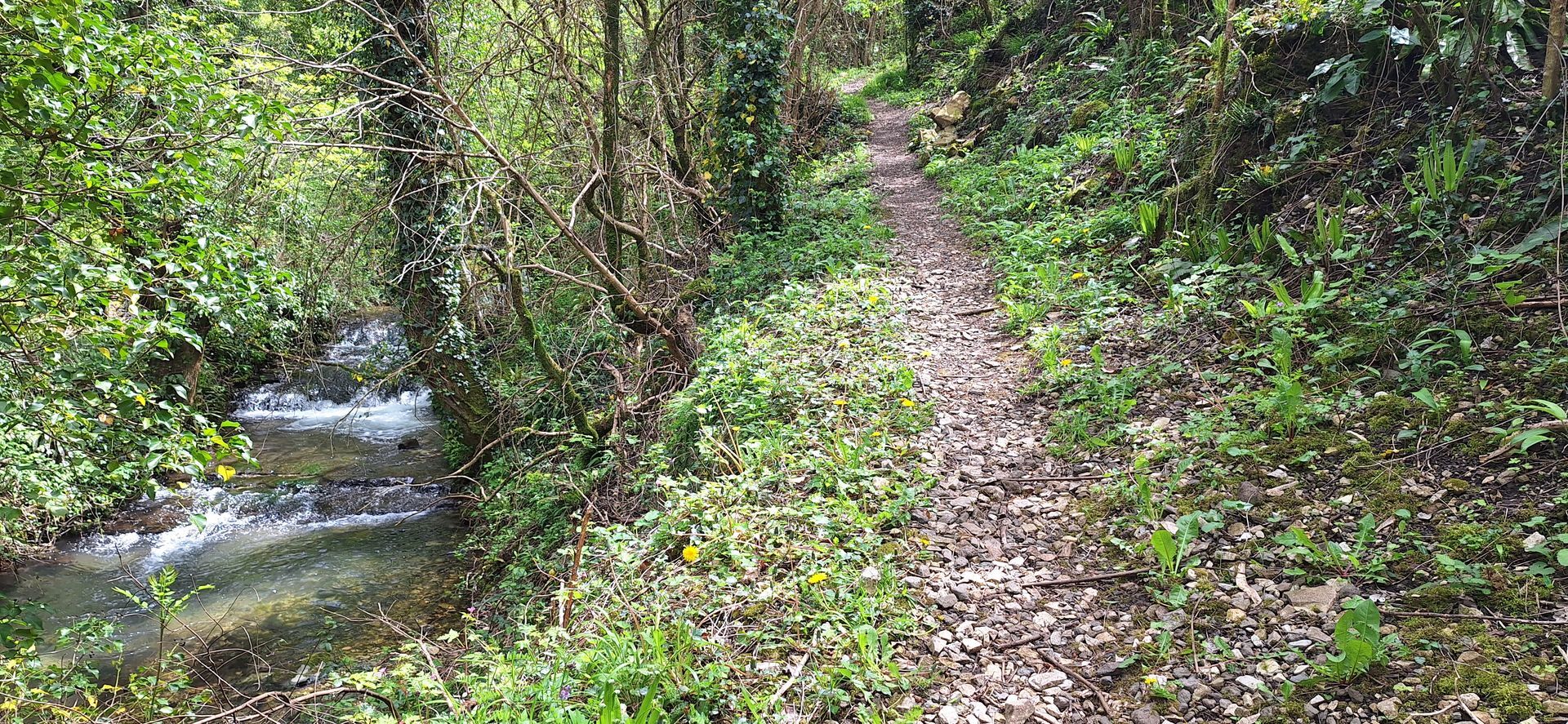
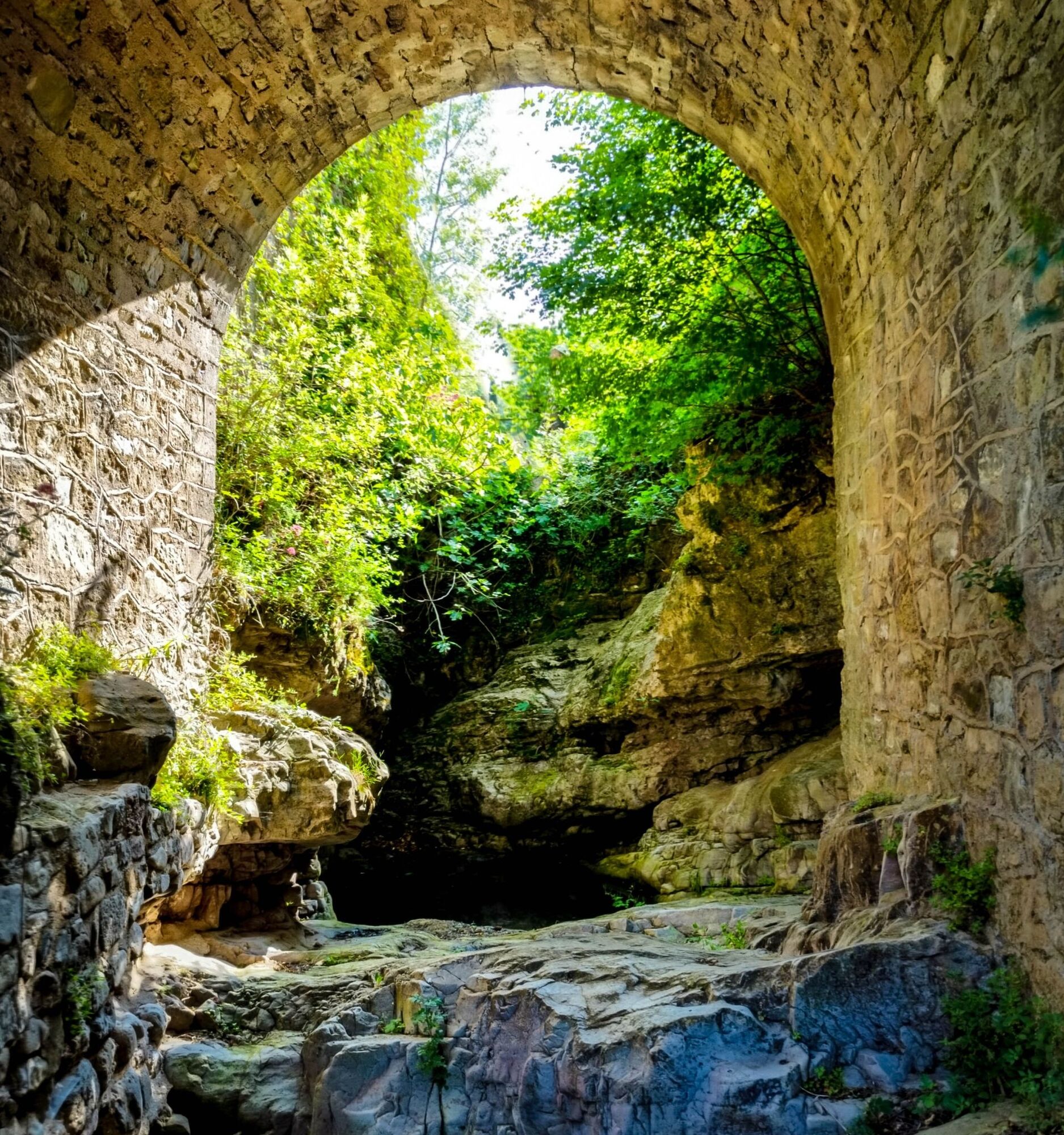
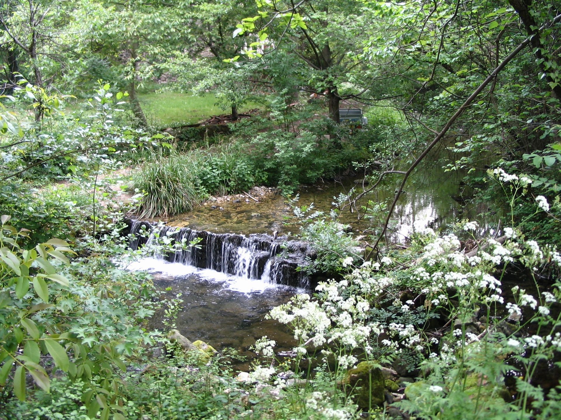
This off-the-beaten-track escapade allows you to immerse yourself completely in the forest as you follow the charming, shady Nize stream.

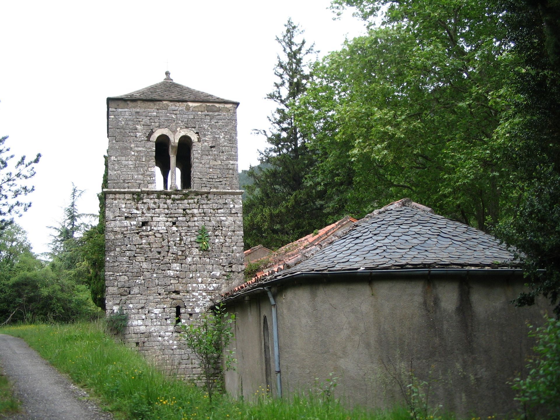
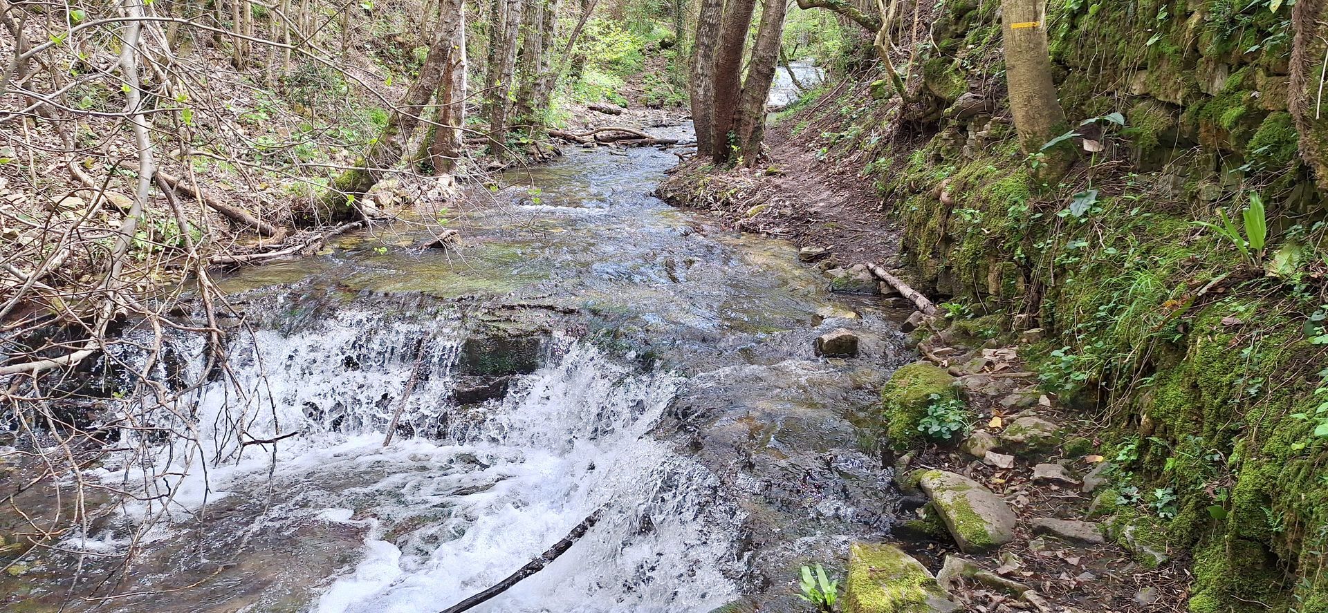

1
From the bottom of the parking lot, take the path alongside the Nize stream, then a fence bordering an apple orchard. Turn left and descend into the dry stream. Return to the Nize via the path above the stream. It winds through boxwoods. Cross the Nize and follow it to its junction with an intermittent stream.
2
Cross the stream and head uphill. Further on, fork right, cross the bed of a stream, often dry, and climb towards the sheepfold (abandoned and overgrown). Leave the Nize valley and come to an intersection of paths.
3
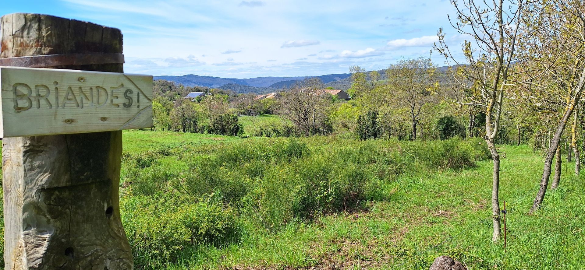
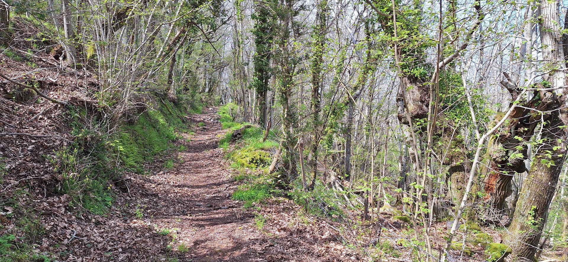
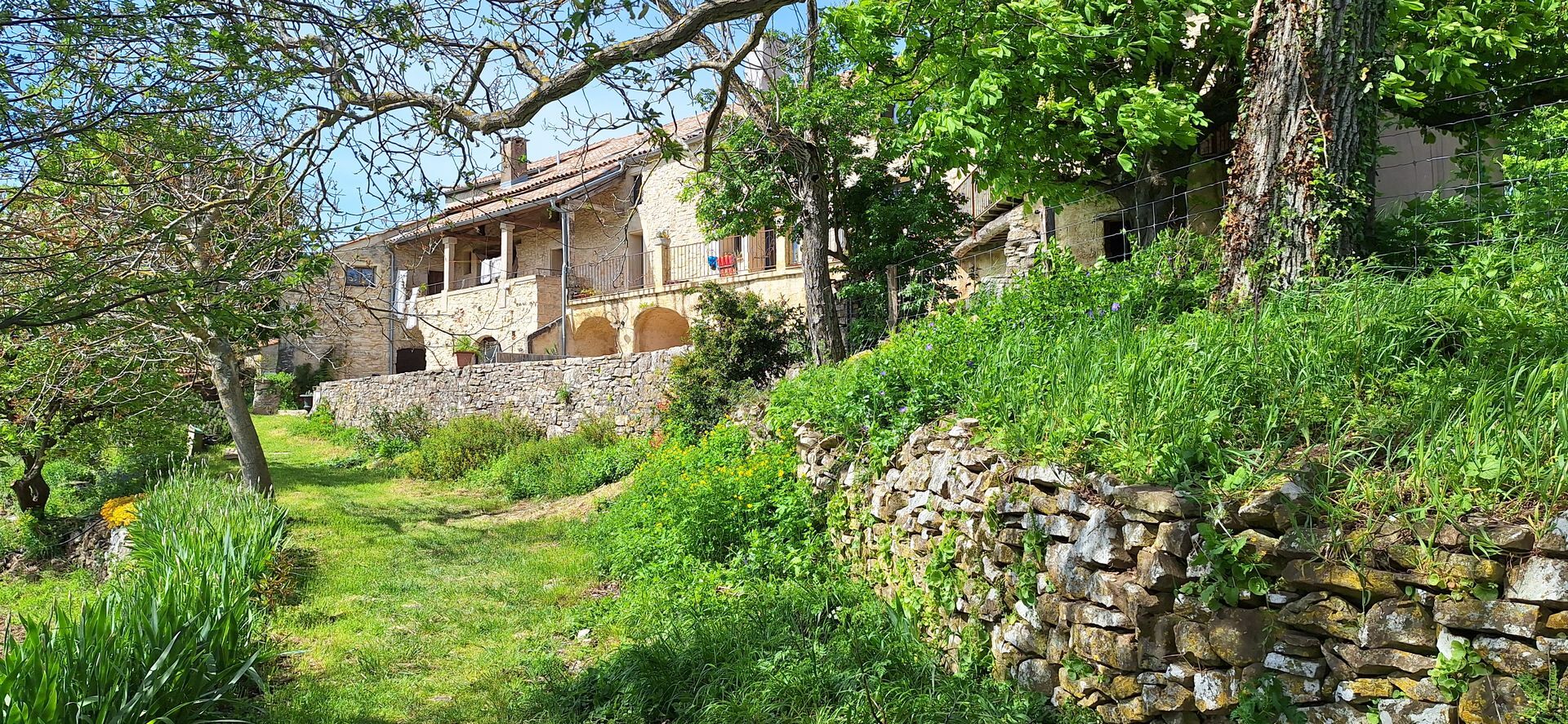
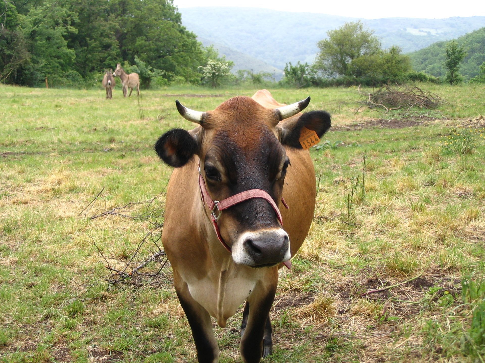
Take the path on the right towards Briandes. It crosses an old chestnut grove (viewpoint). Ignore the track on the left and descend into the hamlet. At the bend, before the educational farm, take the right-hand track for 50 m.
4
At the foot of the pylon, take the path. It winds down through a boxwood tunnel. Turn right onto the D35e9 to reach the starting point.
Jaune PR
+33 4 67 23 43 38
OCT Grand Orb
PDESI
Popularne wycieczki w okolicy
-
5,0
CIRQUE DE MOUREZE HIKE
średniWędrówka 6,86 km -
5,0
LES VAILHÉS HIKING TRAIL
średniWędrówka 9,28 km -
5,0
MONT LIAUSSON HIKE
średniWędrówka 7,36 km -
5,0
HIKING OF THE L'ESPAZE ARBORETUM
średniWędrówka 12,3 km -
5,0
CIRCUIT N°1 LE LAC DU SALAGOU - ESPACE VTT-FFC DU SALAGOU
średniMountainbike 26,9 km -
5,0
HIKING THE RED ROCK
średniWędrówka 7,01 km -
5,0
OENORANDO® THE VALLEY OF AROMAS
średniWędrówka 13,7 km -
4,0
HIKE OF THE GRÉZAC PLATEAU
średniWędrówka 14,0 km -
TRAIL OF THE TOUR OF LAKE SALAGOU (SHORES OF CLERMONT) - GR® OF THE REGION BETWEEN 2 LAKES Avène – Salagou
średniTrailrunning 25,6 km -
COURTINALS TRAIL HIKE
światłoWędrówka 2,36 km
Wędrówki i tropienie


Nie przegap ofert i inspiracji na następne wakacje
Twój adres e-mail została dodana do listy mailingowej.





