







LES VAILHÉS HIKING TRAIL

On the shores of Lac du Salagou, one of the most fascinating sites in the south of France, this tour offers remarkable views over the vast body of water in the Hérault region: first between the red ruffes...
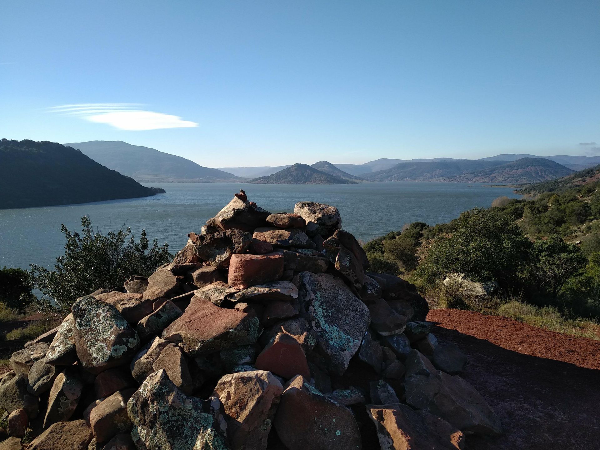
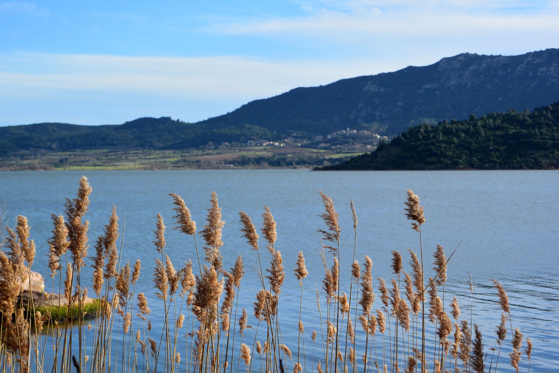
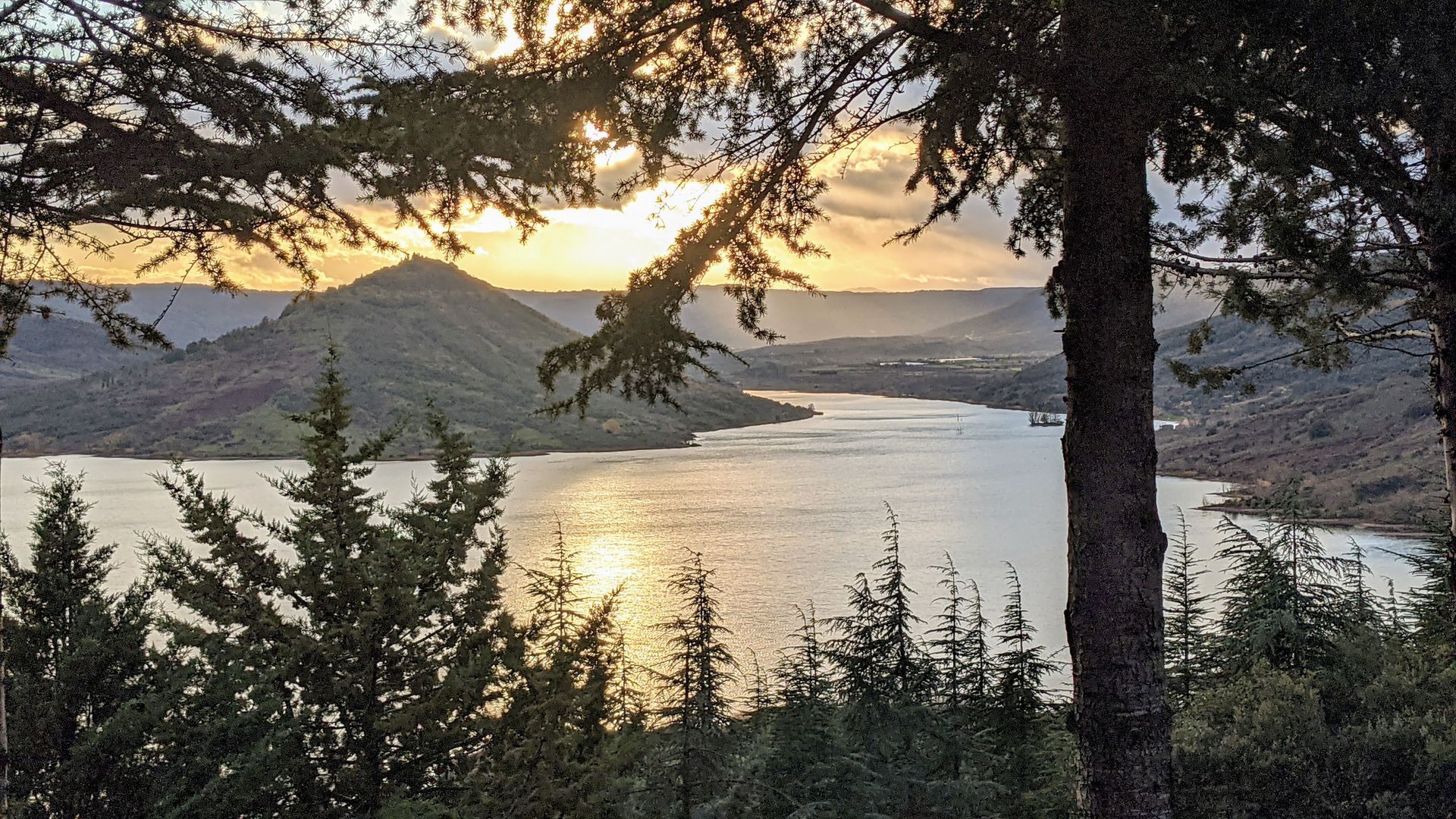
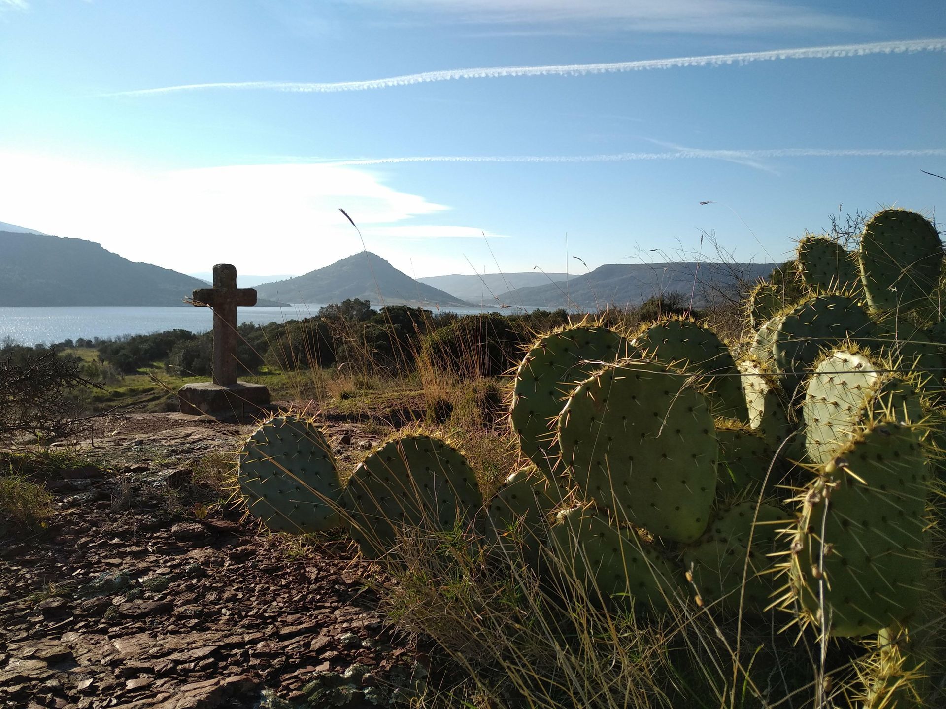
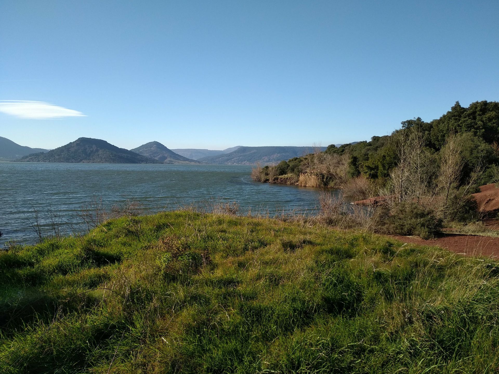
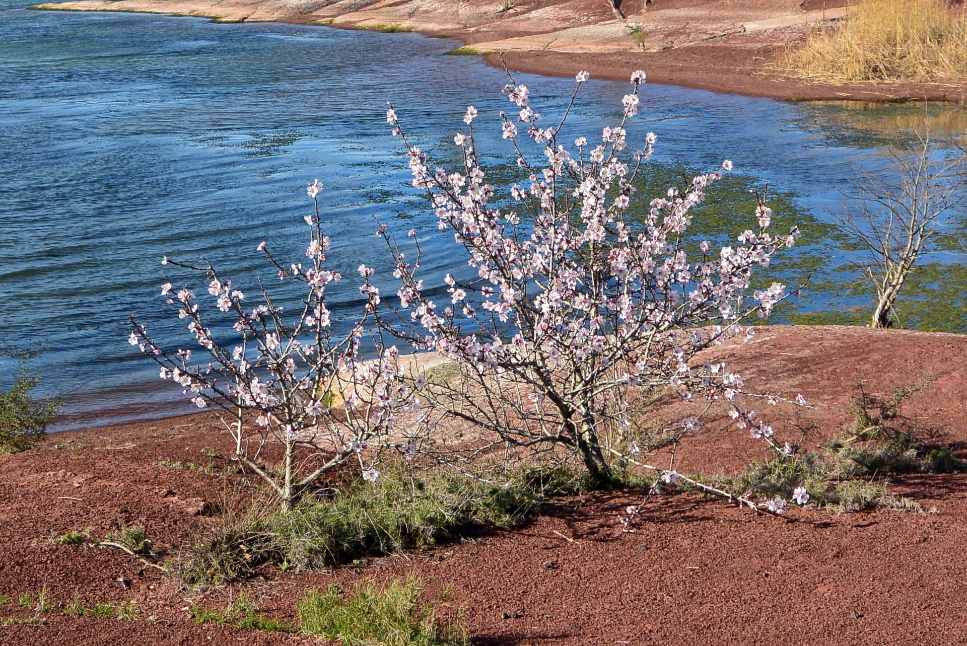
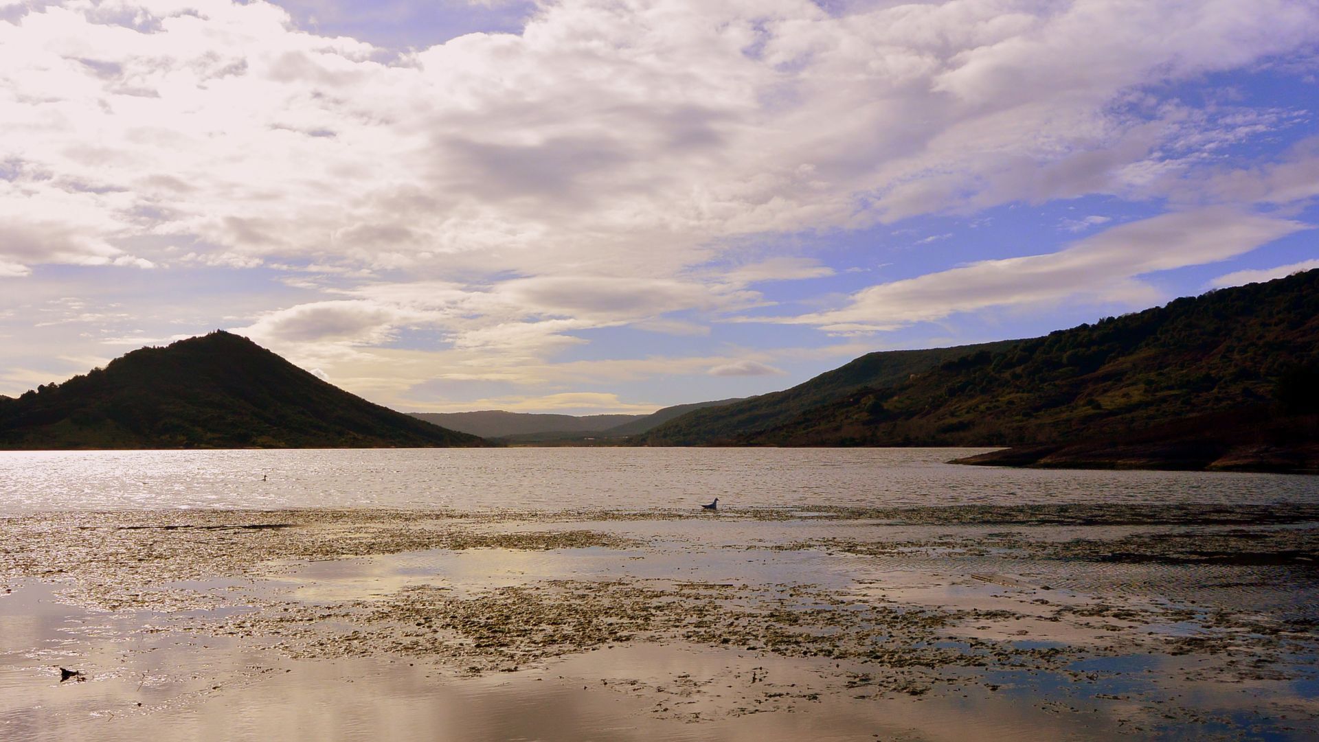
On the shores of Lac du Salagou, one of the most fascinating sites in the south of France, this tour offers remarkable views over the vast body of water in the Hérault region: first between the red ruffes and blue waters of the lake, then on a balcony on the edge of the Auverne plateau.

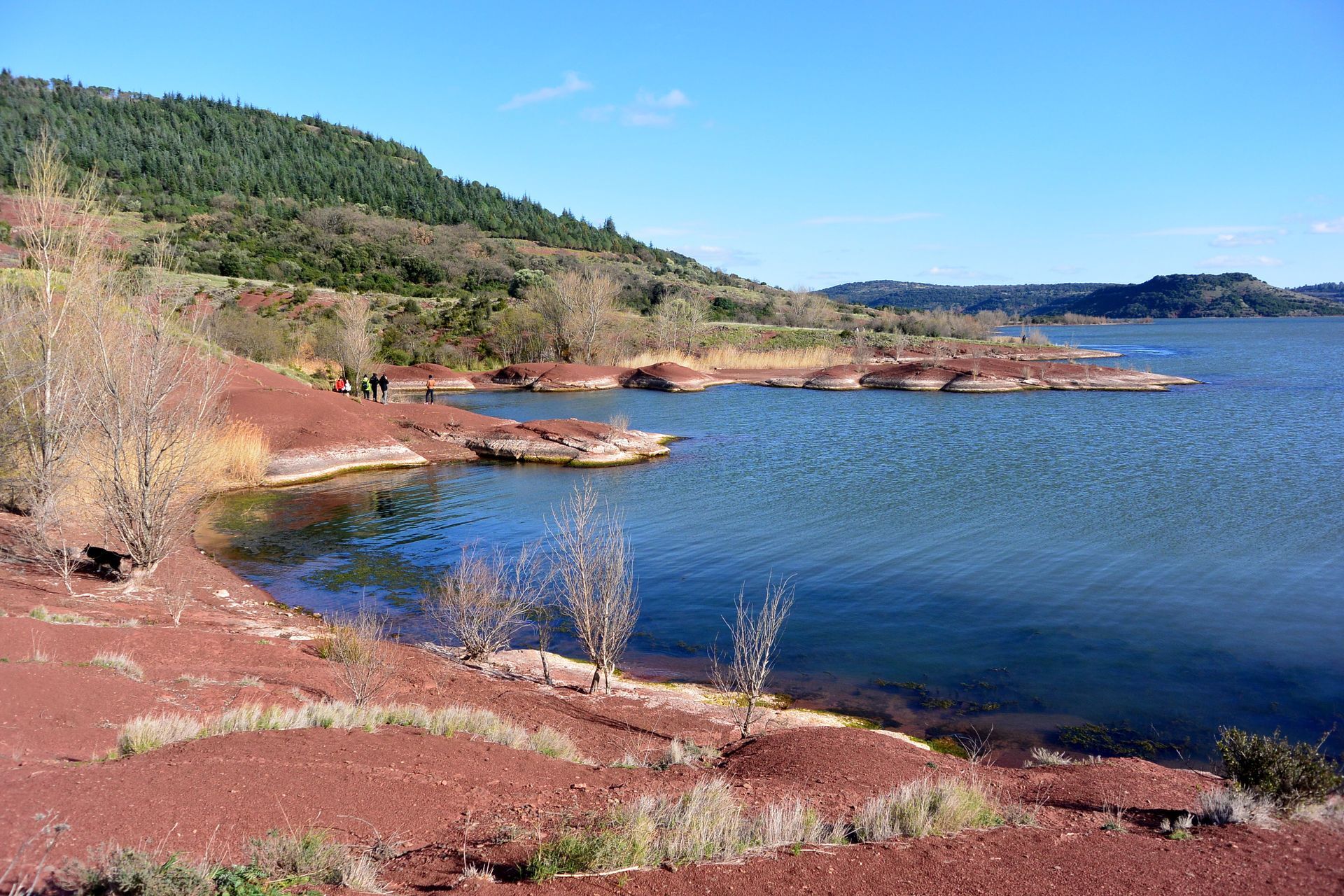
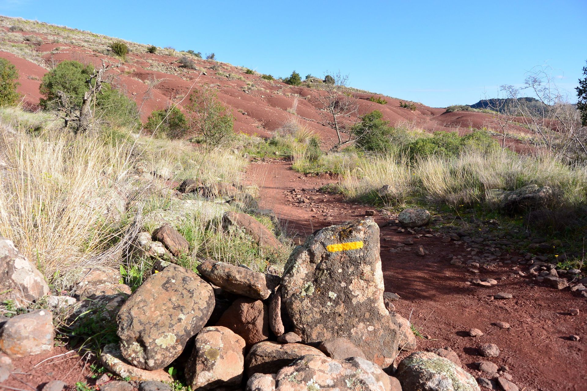

1
From the parking lot, turn left towards the lake, passing the water sports center reception. After the gate, go along the campsite. Cross a ravine and join a track.
2
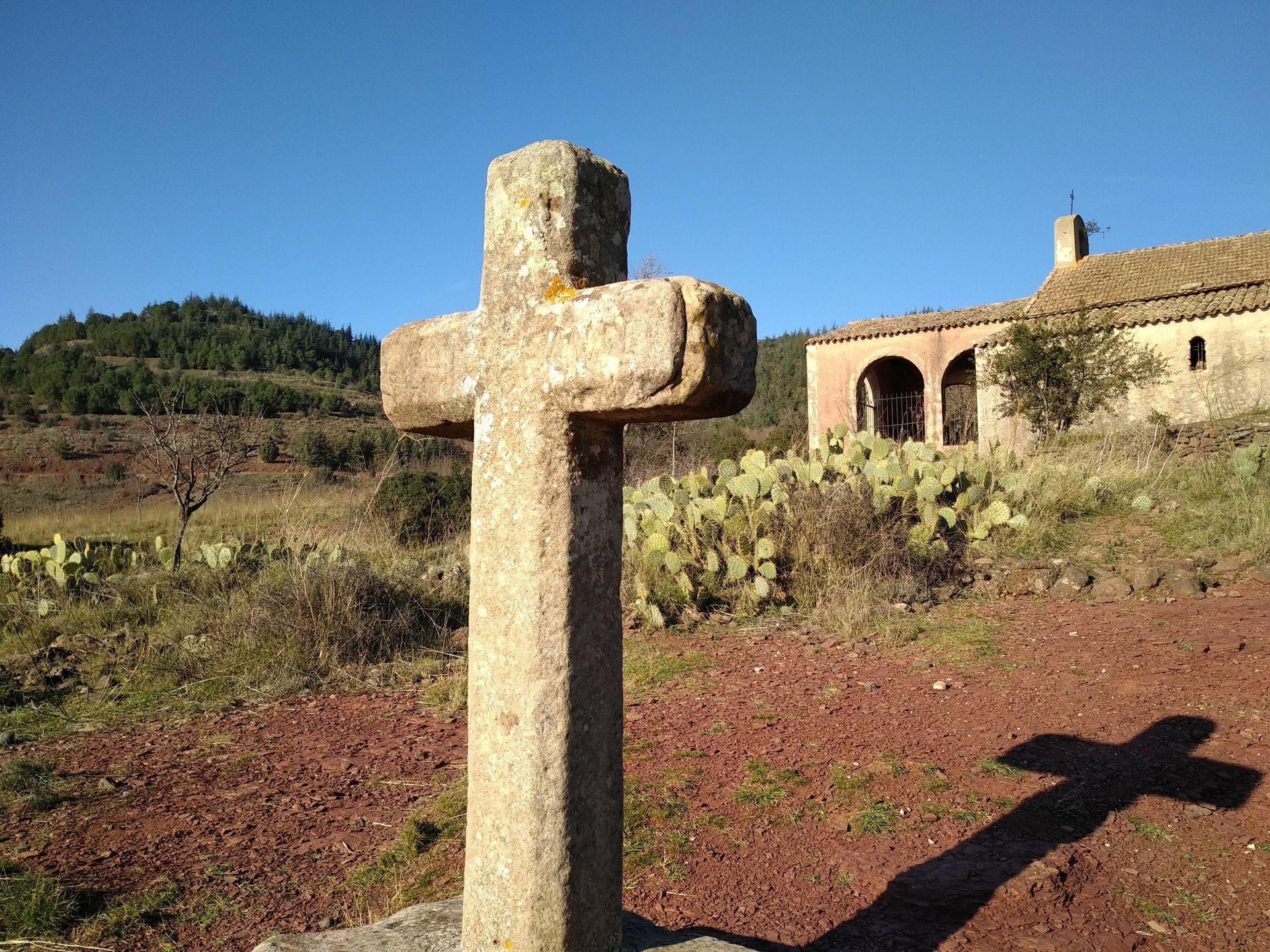
Go straight ahead on the path that follows the shoreline. Pass the Notre-Dame-de-Clans chapel. Ignore all left-hand paths. Pass a capitelle built into a wall, then the ruined hamlet of Pradines (oven still visible).
3
At the "calanque" de la Mourade, climb the path on the left. Pass a platform and reach a trail junction.
4
Cross over and take the DFCI track (barrier). At a hairpin bend (capitelle in a field on the right), continue along the edge of the plateau (views of the lake) to a crossroads.
5
Go left down the track, which winds towards the village of Les Vailhés. Cross the road and take the cemented track opposite. Go through the village, past a gate and down the track. On the right, following the same route as before, return to the starting point.
Steep climb between stages 3 and 4
The Auverne plateau is a pastoral area: do not enter the pastures or let your dog roam.
Jaune PR
+33 4 67 88 86 44
Lodévois et Larzac Tourist Office
PDESI




Popularne wycieczki w okolicy
-
5,0
CIRQUE DE MOUREZE HIKE
średniWędrówka 6,86 km -
5,0
MONT LIAUSSON HIKE
średniWędrówka 7,36 km -
5,0
CIRCUIT N°1 LE LAC DU SALAGOU - ESPACE VTT-FFC DU SALAGOU
średniMountainbike 26,9 km -
4,0
HIKE OF THE GRÉZAC PLATEAU
średniWędrówka 14,0 km -
HIKING OF THE FENESTRETTES
średniWędrówka 10,4 km -
LAVAL DE NIZE HIKE
światłoWędrówka 6,07 km -
TRAIL OF THE TOUR OF LAKE SALAGOU (SHORES OF CLERMONT) - GR® OF THE REGION BETWEEN 2 LAKES Avène – Salagou
średniTrailrunning 25,6 km -
COURTINALS TRAIL HIKE
światłoWędrówka 2,36 km -
BEALS TRAIL HIKE
średniWędrówka 4,51 km -
CAYROUX HIKE
średniWędrówka 11,5 km

Wędrówki i tropienie


Nie przegap ofert i inspiracji na następne wakacje
Twój adres e-mail została dodana do listy mailingowej.





