







HIKE OF THE GRÉZAC PLATEAU
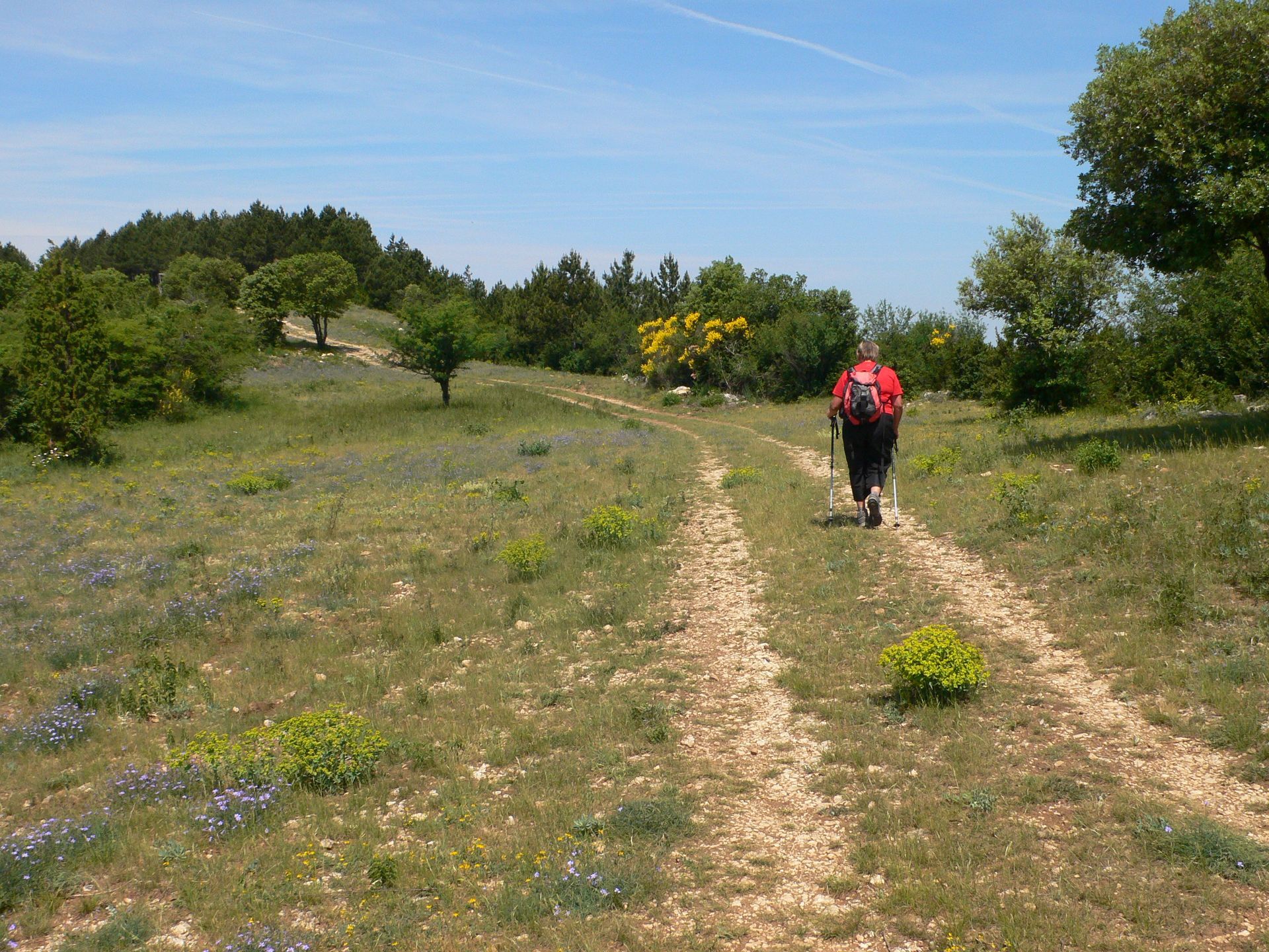
This route allows you to discover the history of the Grézac plateau. The oppidum, located on the puech of Grézac, recalls the almost continuous presence of humans until the Early Middle Ages. The transverse...
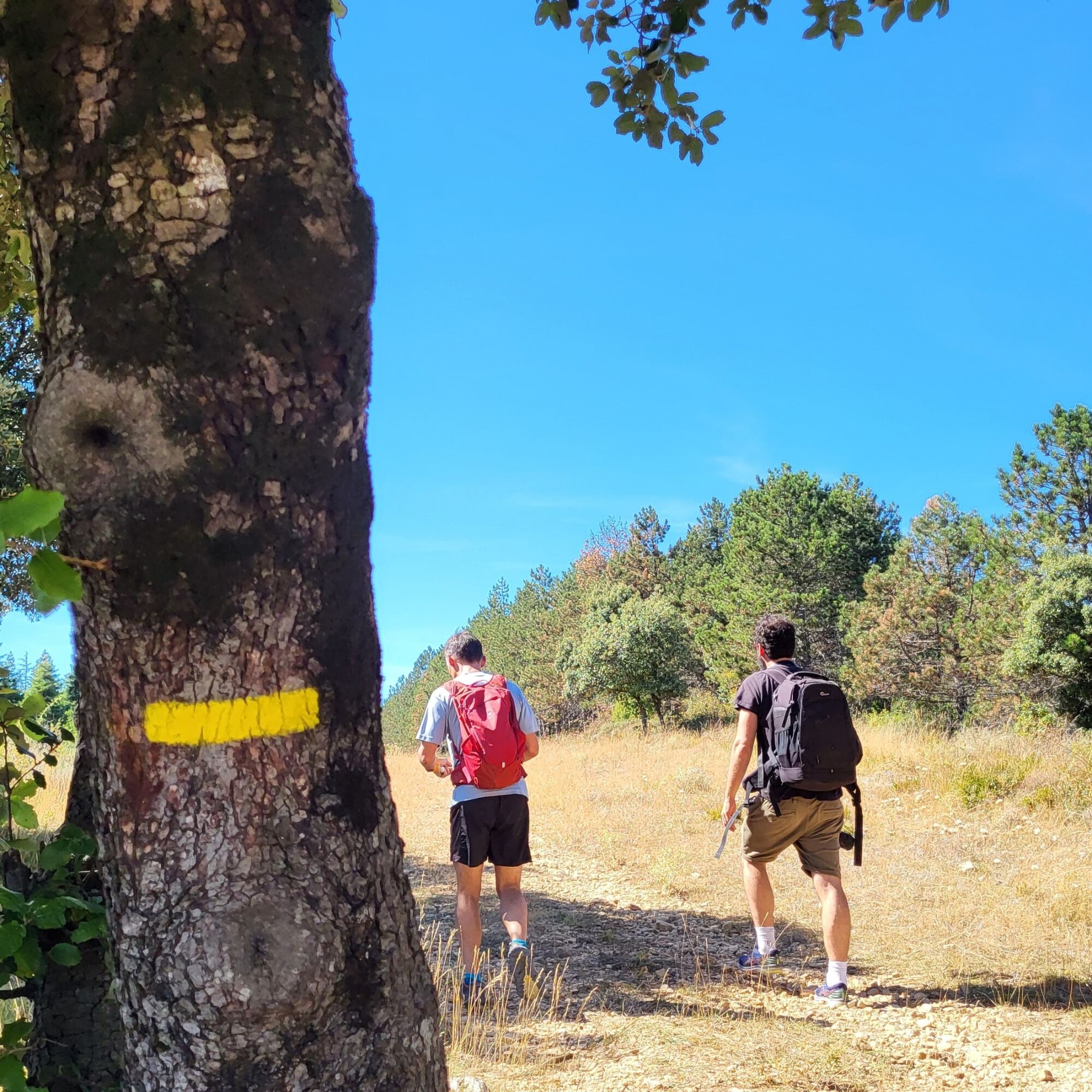
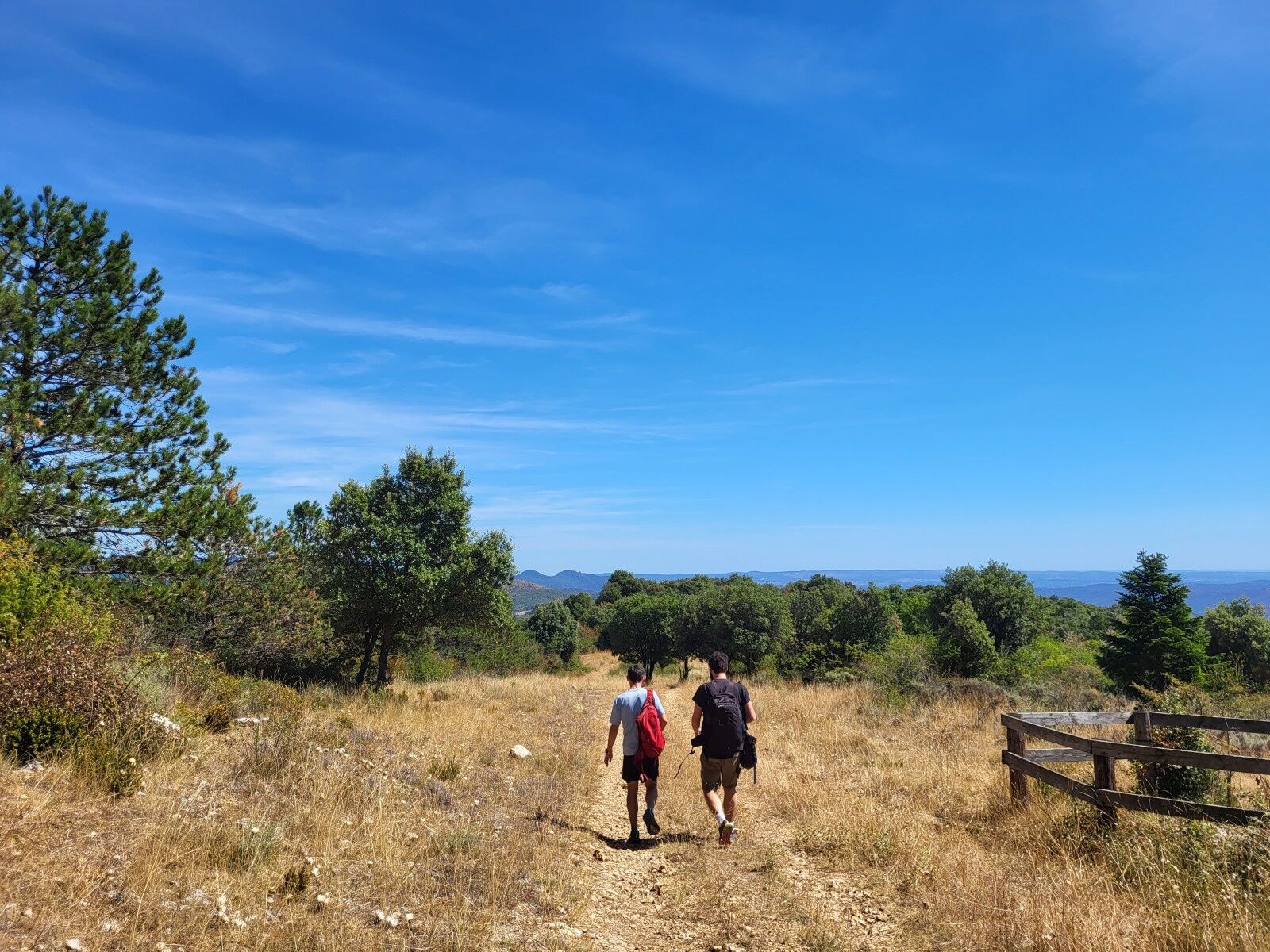
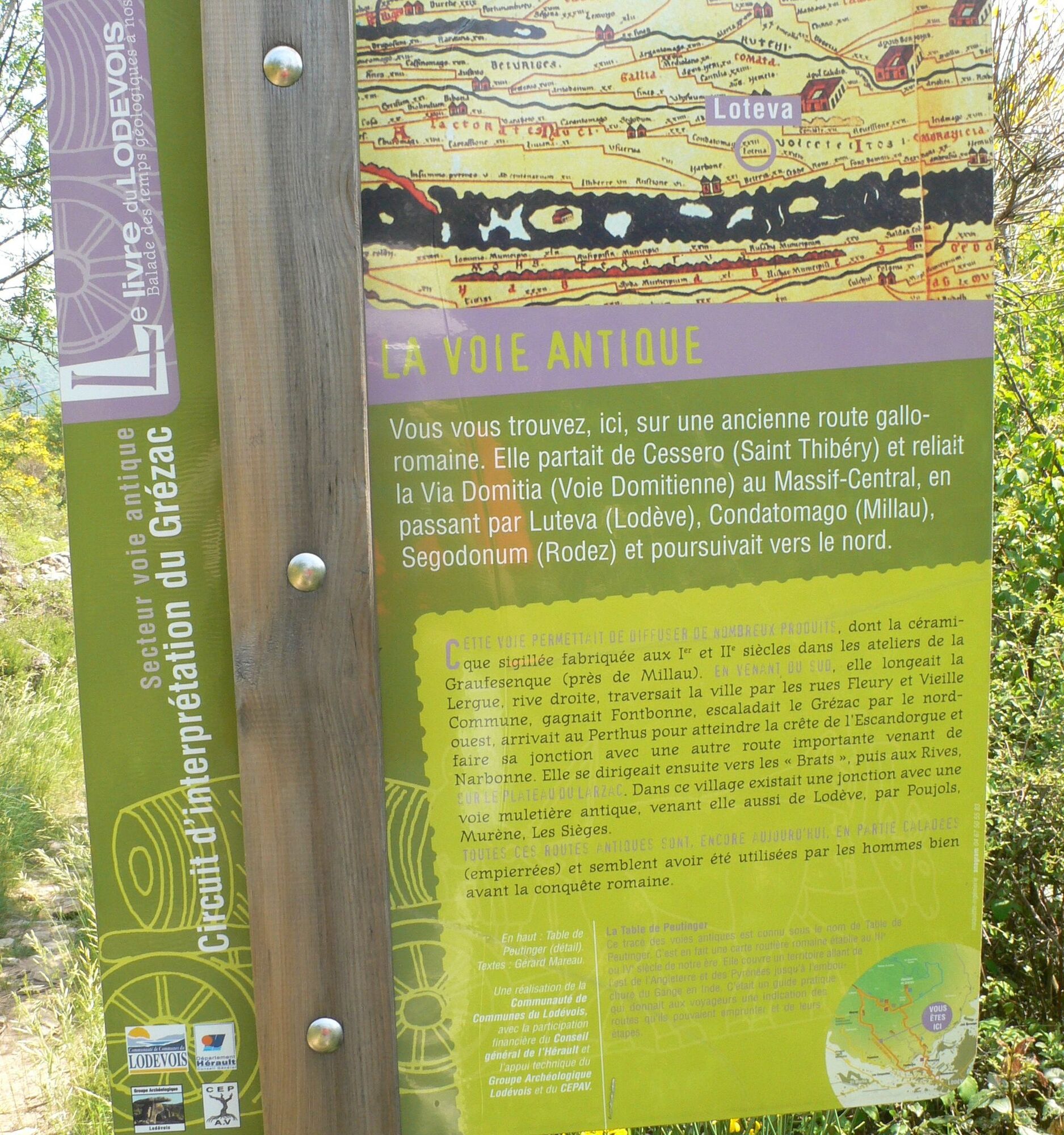
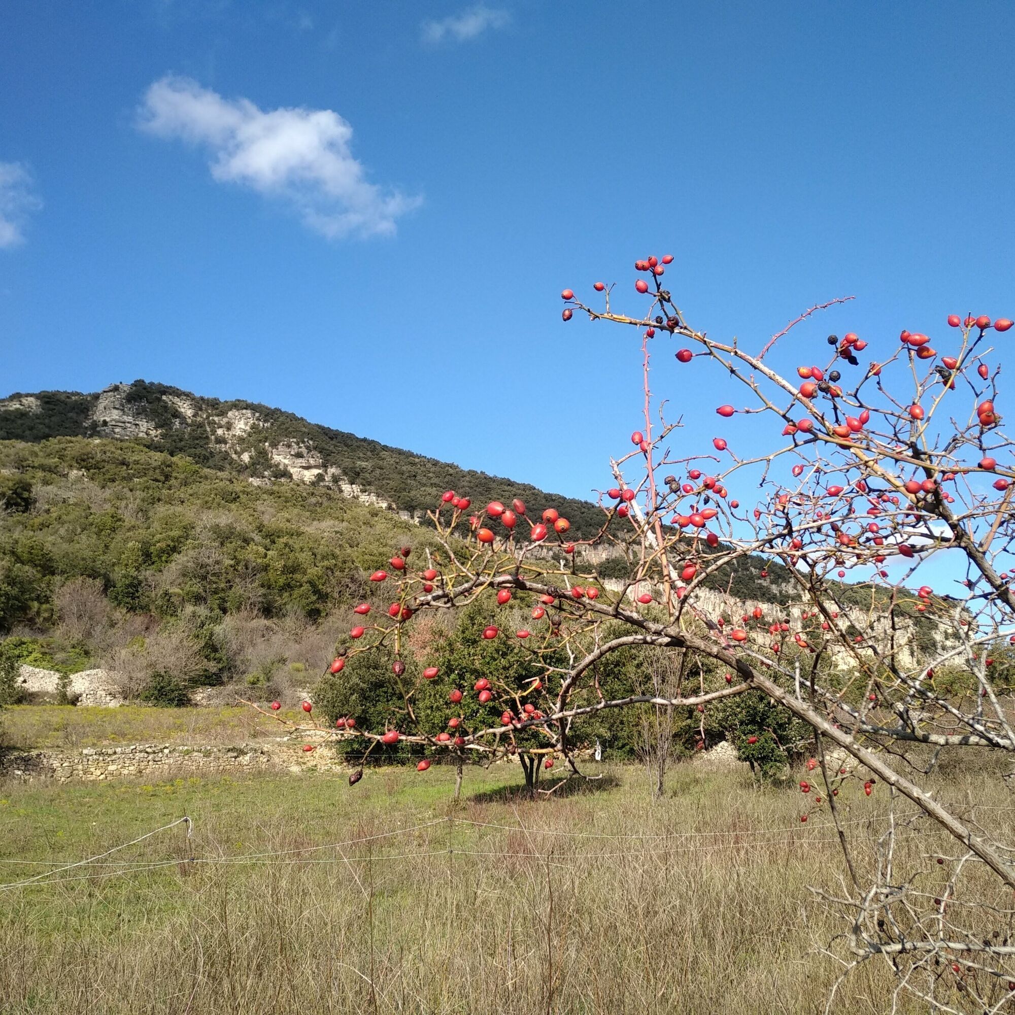
This route allows you to discover the history of the Grézac plateau. The oppidum, located on the puech of Grézac, recalls the almost continuous presence of humans until the Early Middle Ages. The transverse paths, curtain walls and terraces, and huts testify to significant human occupation from the 16th century onwards. The return is via a Gallo-Roman road that links Perthus to Lodève, an old influential episcopal city.


1
From the Municipal Park, take the direction of Grézac and reach the information board Le Livre du Lodévois. Enter the paved path along a high wall, thus reaching Pierre-Masse avenue. Immediately turn left onto a stone-paved path. Cross two roads, continue straight ahead on a trail through vegetation of scrub plants.
2
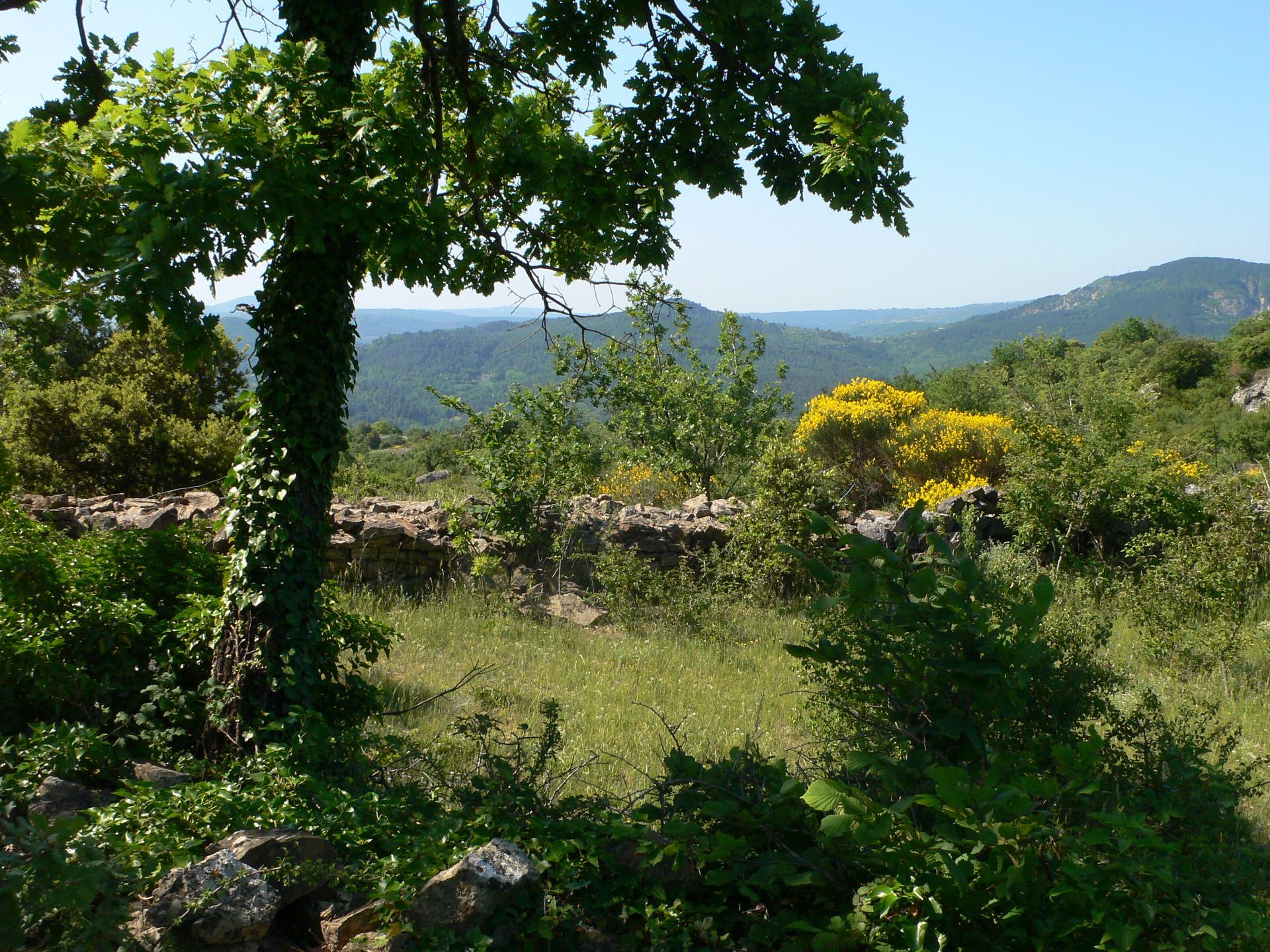
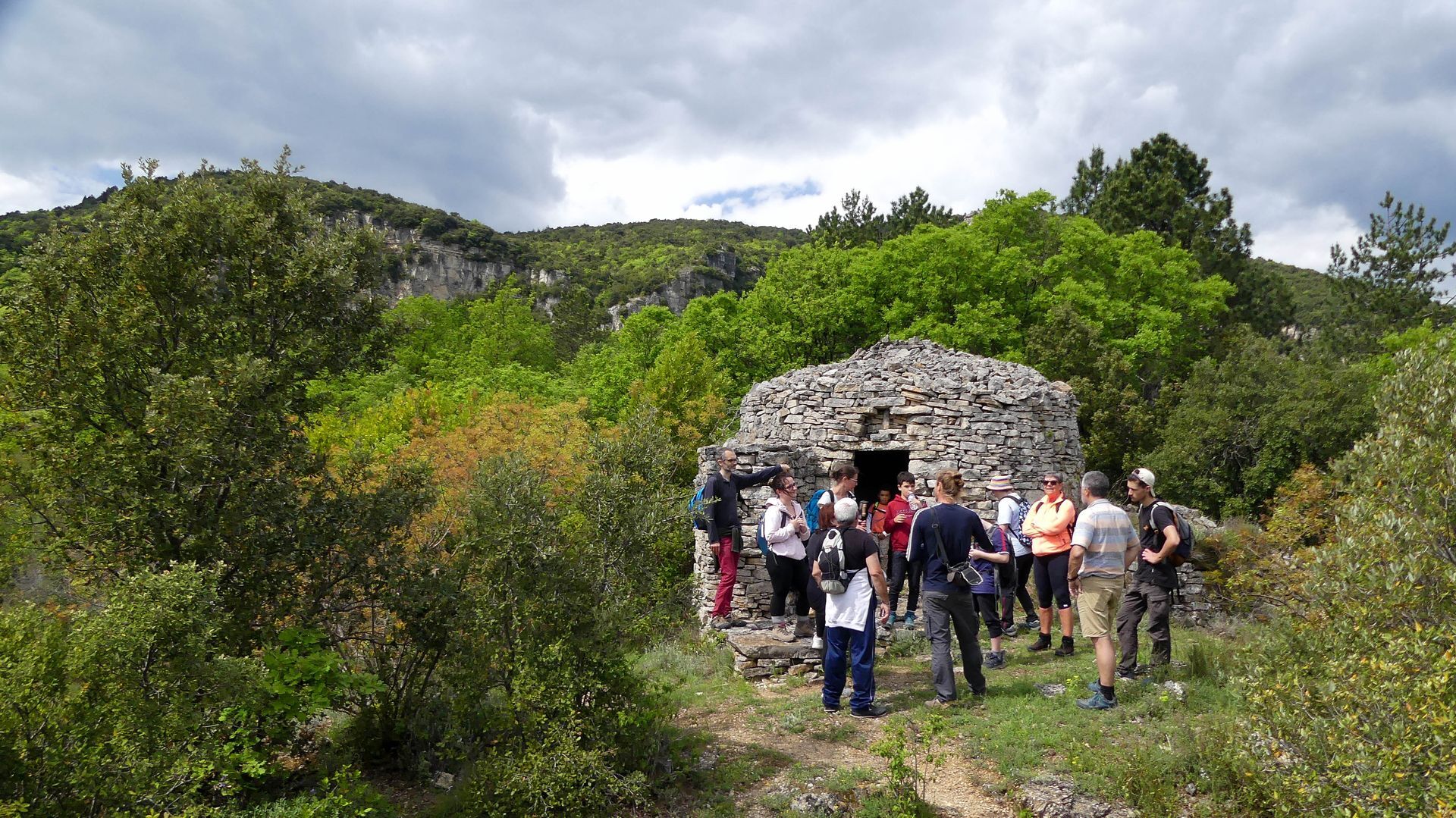
Leave the trail to climb left via a path between two dry stone walls. Pass in front of capitelles (former shelters for shepherds or farmers) and reach a junction of wider paths.
3
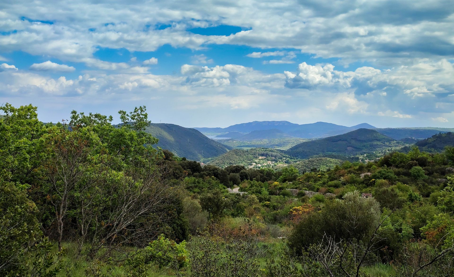
Option to take a variant (Le Livre du Lodévois circuit, 7.5 km, 2 h 30). Go left onto the path and continue on the dry stone path dotted with capitelles. Reach former cultivated terraces (viewpoint over the Lodève valley). Further along, rejoin the main circuit. Go right for 150 m.
4
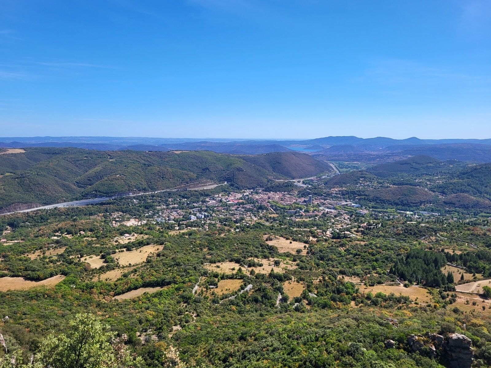
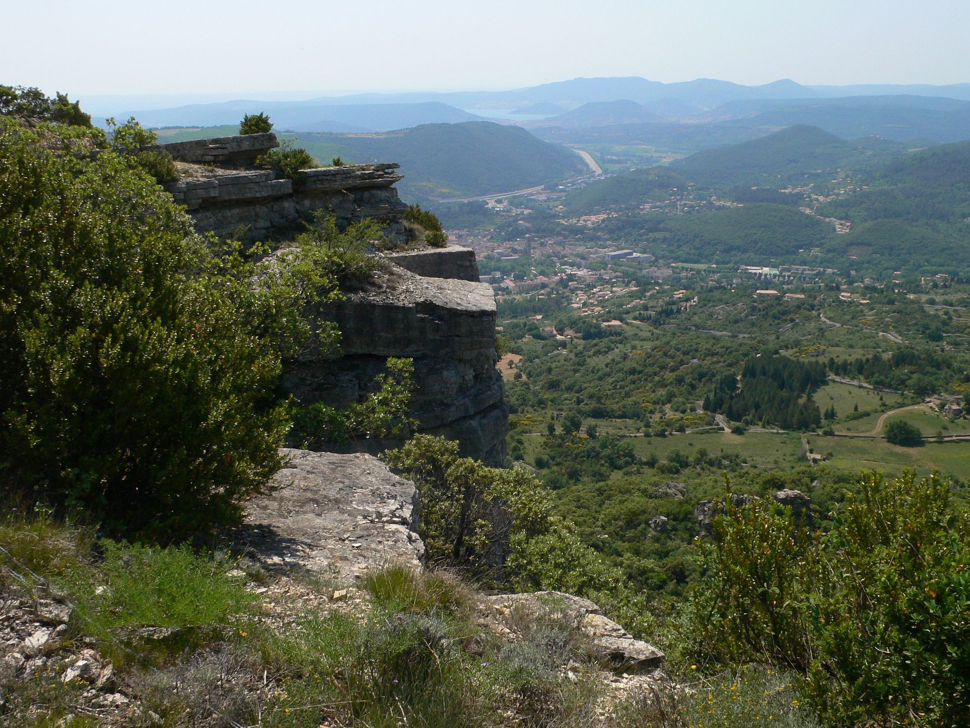
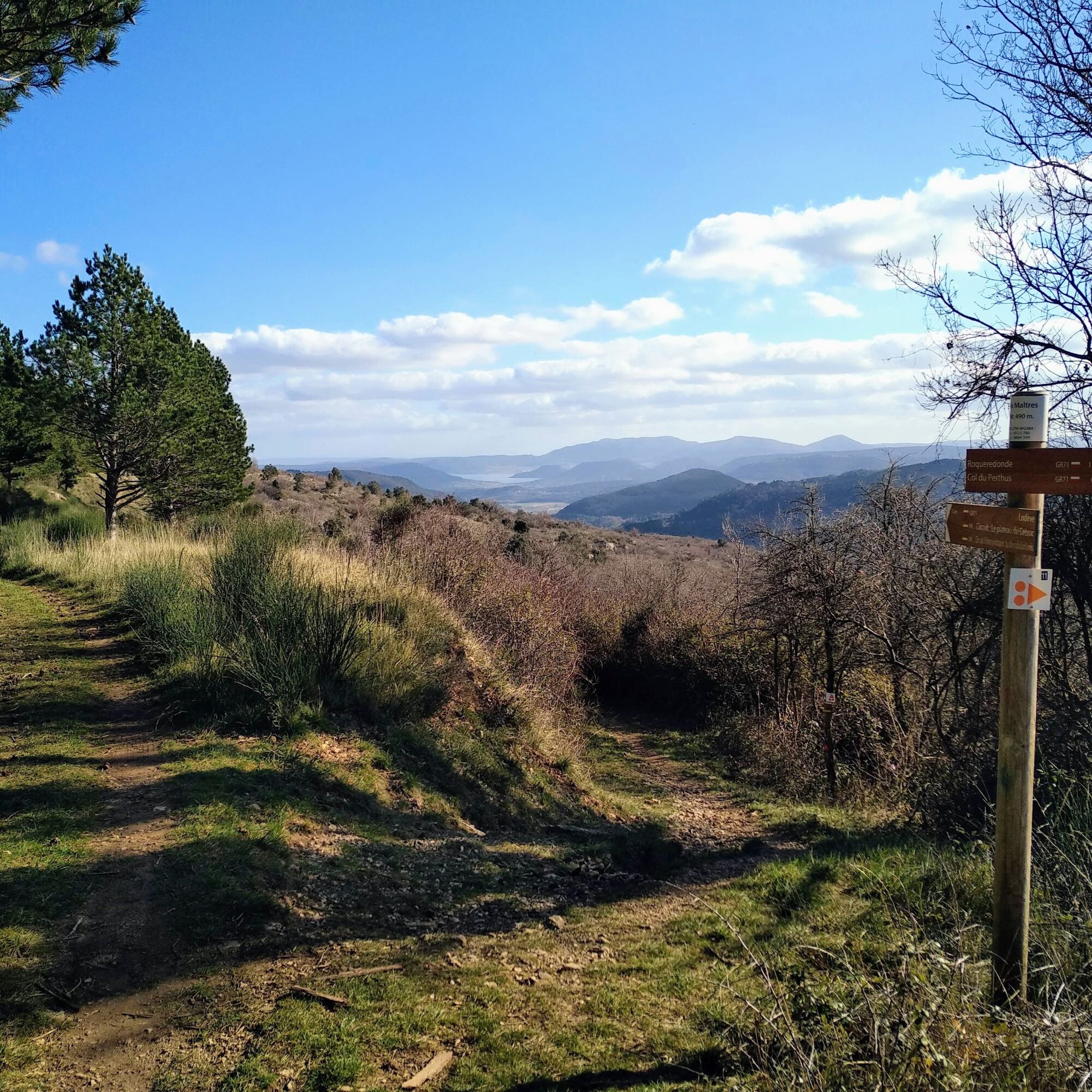
Access to the oppidum: 800 m round trip (slippery when wet). Take a rocky path on the left; it climbs into the woods up to the remains of the oppidum located on the puech of Grézac (507 m). Then return the same way. Continue at the edge of the woods. At a right curve, climb left between broom bushes, amid a carpet of aphyllantes. Go around the cliff, reach a path and go left then right. Climbs in switchbacks along the axis of Lauroux valley (viewpoint over the Labeil cirque), reach a rock slab (viewpoint over the foothills of Larzac, Mont Saint-Baudille, Salagou lake and the Escandorgue plateau) (do not approach the edge).
5
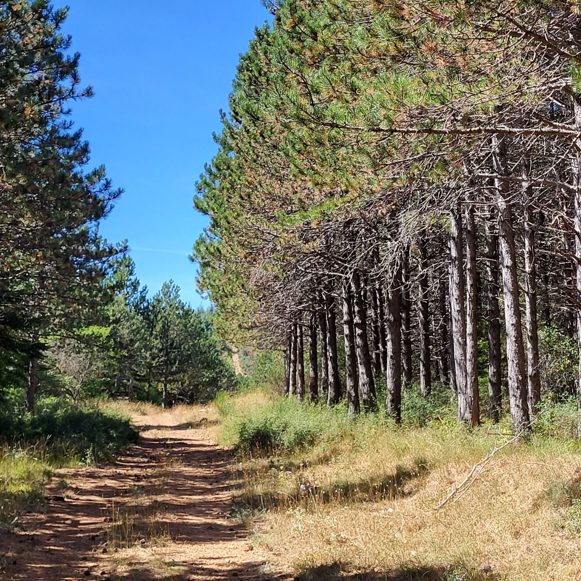
Squeeze through the vegetation. Pass a steep section, leave a path on the right and reach an open area. Follow left the straight path bordered with hunting stands among pine and cedar trees. Orient left, ignore a path on the left to reach a fork.
6
Climb right, reach a trail, descend left. Join a DFCI path (forest defense against fires); follow it to the right, ignoring a path to the right further along.
7
Leave the path left by a rocky path (Gallo-Roman road) which descends between boxwoods and broom bushes. Cross a path and continue straight ahead on a wide path to a junction (connection with the variant).
8
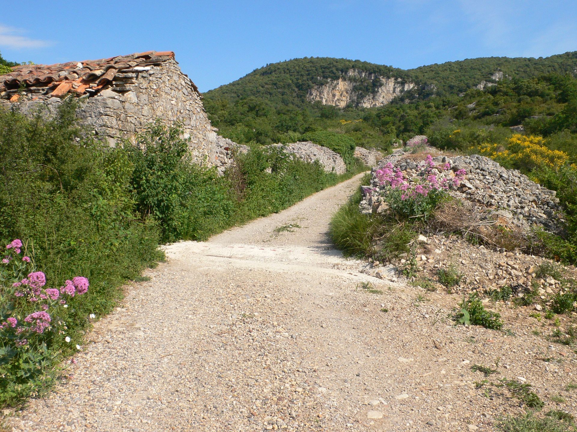
Descend by the path on the right. Cross the Mayres road. The path widens and passes between high walls. Pass two chicanes and reach a tarmacked road. Continue straight ahead through the houses of the Fontbonne neighborhood, ignoring streets to the right. Return to the starting point.
In case of emergency, call 112.
Yellow PR
+33 4 67 88 86 44
Tourist Office Lodevois and Larzac
PDESI

Popularne wycieczki w okolicy
-
5,0
CIRQUE DE MOUREZE HIKE
średniWędrówka 6,86 km -
5,0
LES VAILHÉS HIKING TRAIL
średniWędrówka 9,28 km -
5,0
MONT LIAUSSON HIKE
średniWędrówka 7,36 km -
5,0
CIRCUIT N°1 LE LAC DU SALAGOU - ESPACE VTT-FFC DU SALAGOU
średniMountainbike 26,9 km -
LAVAL DE NIZE HIKE
światłoWędrówka 6,07 km -
TRAIL OF THE TOUR OF LAKE SALAGOU (SHORES OF CLERMONT) - GR® OF THE REGION BETWEEN 2 LAKES Avène – Salagou
średniTrailrunning 25,6 km -
CORNICHES DE LAUROUX HIKE
średniWędrówka 13,8 km -
CIRQUE DE LABEIL HIKE
światłoWędrówka 3,90 km -
TOUR DU LAC DU SALAGOU HIKE - GR® DE PAYS ENTRE 2 LACS AVÈNE - SALAGOU
średniWędrówka 36,3 km -
CYCLE LOOP No. 13 - THE COL DU PERTHUS AND THE LABEIL CIRQUE FROM LODÈVE
średniJazda na rowerze 39,3 km
Wędrówki i tropienie


Nie przegap ofert i inspiracji na następne wakacje
Twój adres e-mail została dodana do listy mailingowej.





