







CORNICHES DE LAUROUX HIKE

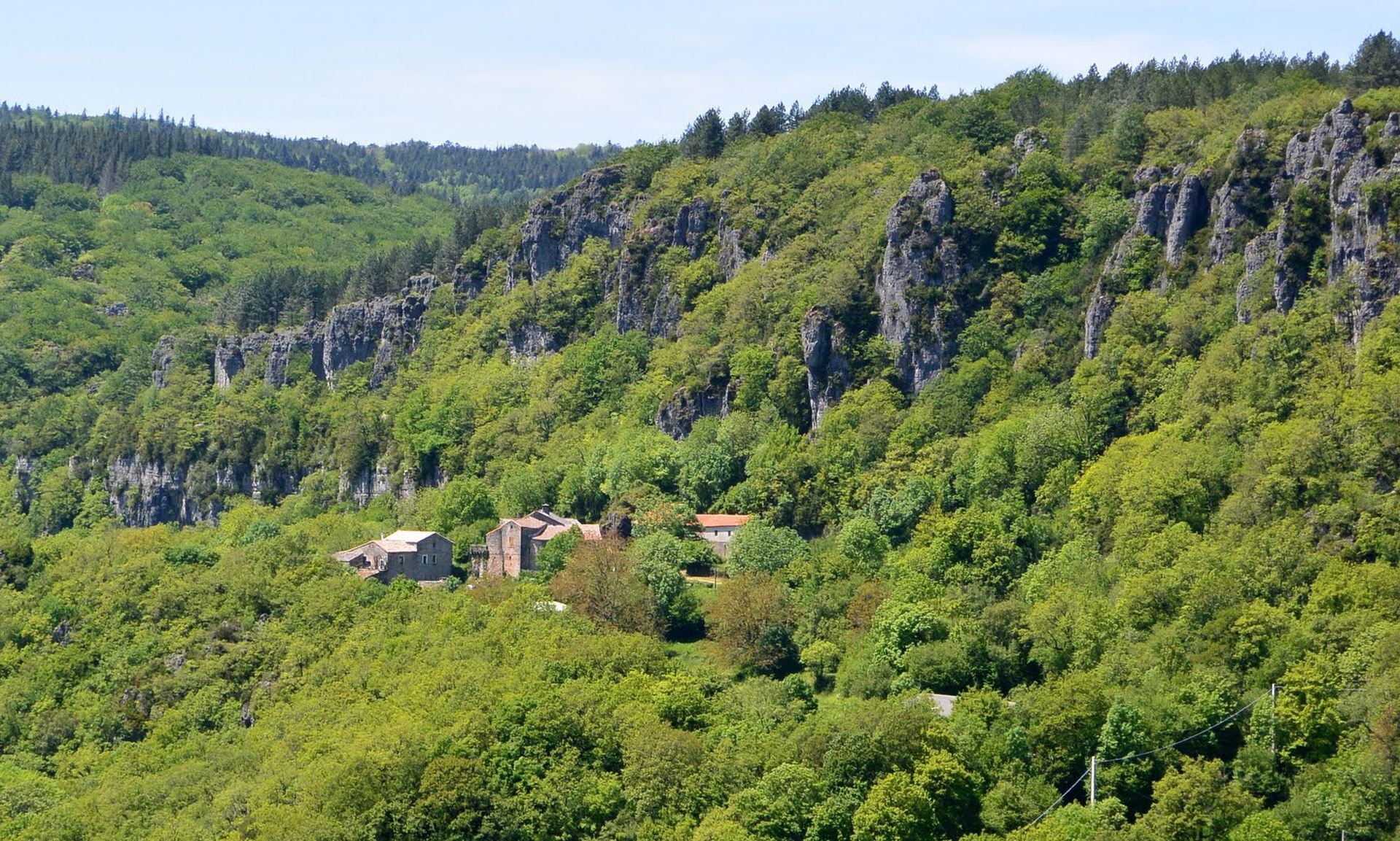
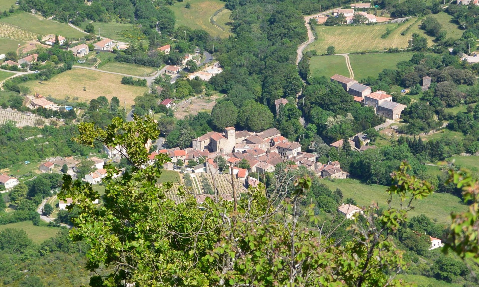
Set in a limestone cirque, this trail climbs to the foot of the cliffs, offering views over the Lodévois countryside. After a refreshing stop at the hamlet of Labeil and its converted grotto, it continues...
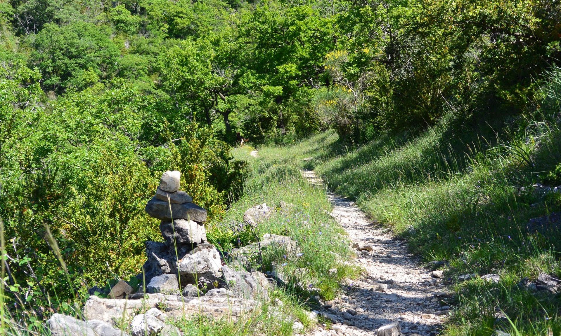
Set in a limestone cirque, this trail climbs to the foot of the cliffs, offering views over the Lodévois countryside. After a refreshing stop at the hamlet of Labeil and its converted grotto, it continues on the plateau, enters a dark forest, then crosses the causse in the middle of a rocky chaos.


1
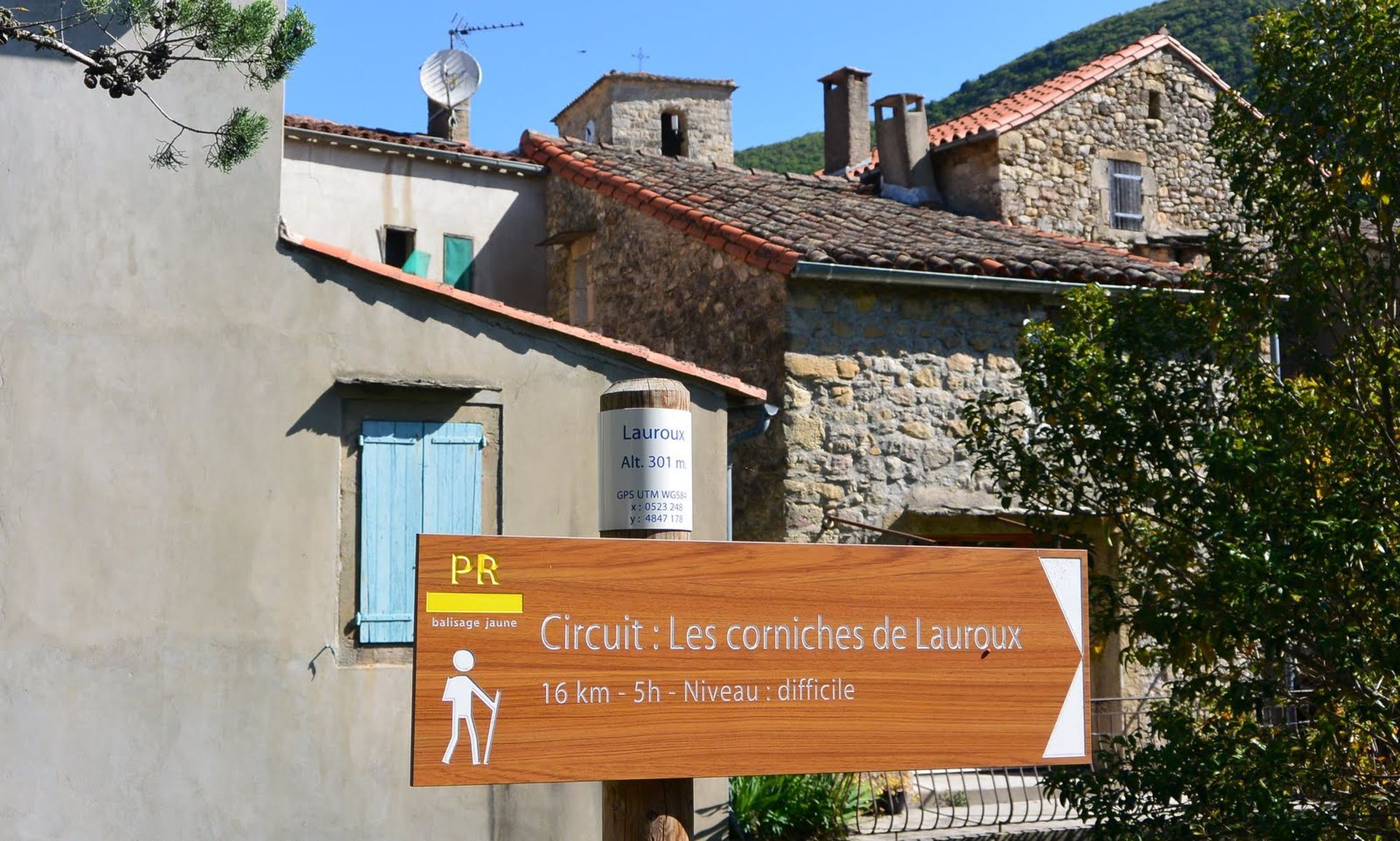
From the cemetery parking lot, join the D151; turn left to Lauroux.
2
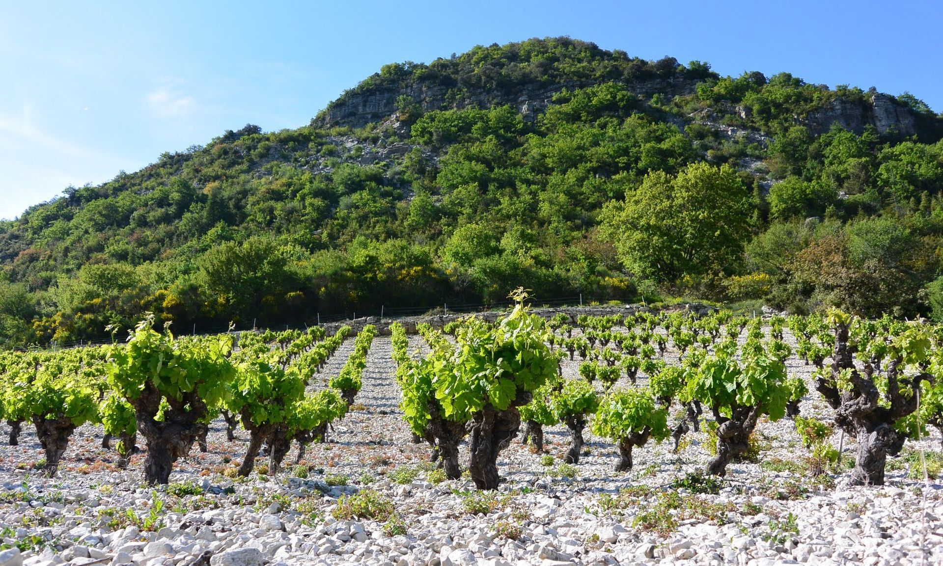
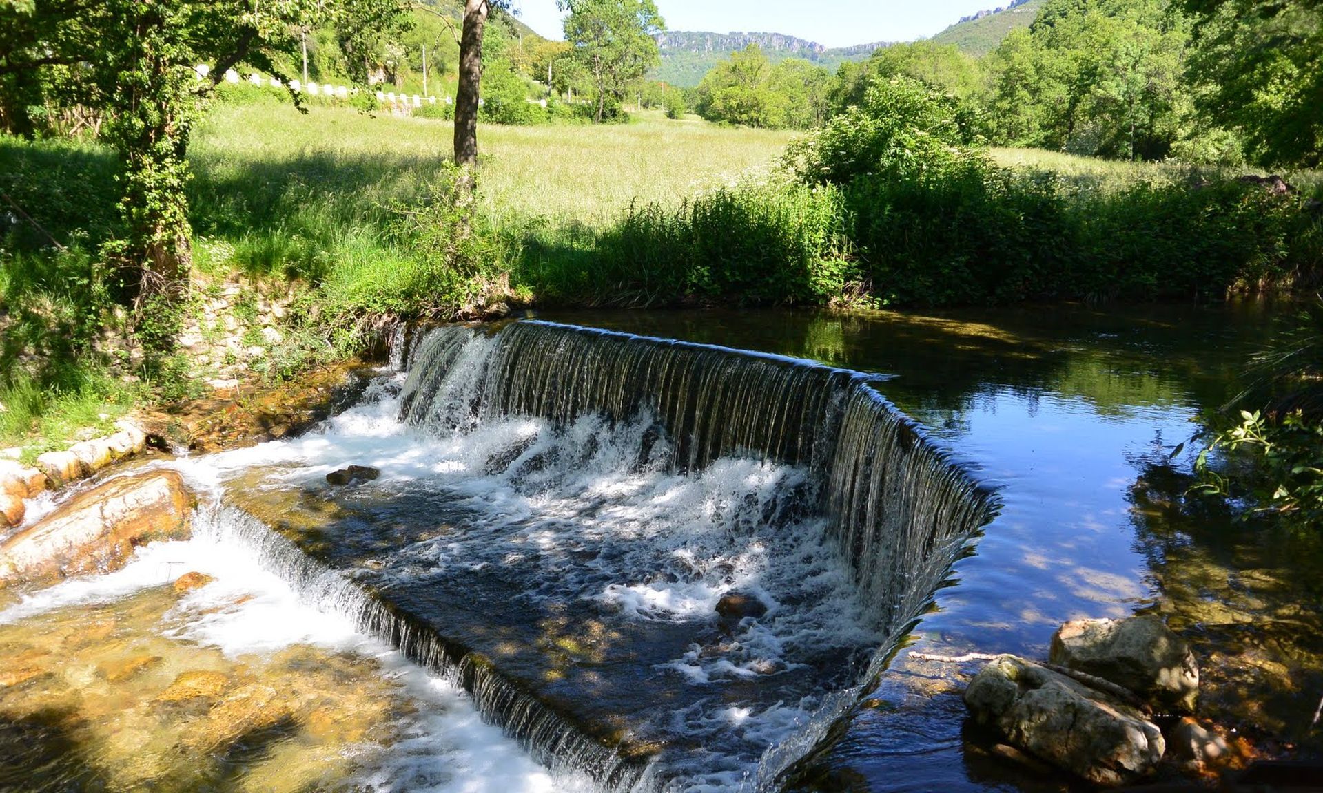
Before the bridge, turn right and cross the stream. Go straight on the D151, then turn right off the road (footbridge). Join a track. Go right, then immediately left. Rejoin a track. Go left, continue between the hedge of trees and the vineyard, then climb up through the vegetation. Further on, descend (slippery), cross the ravine and reach an open area.
3
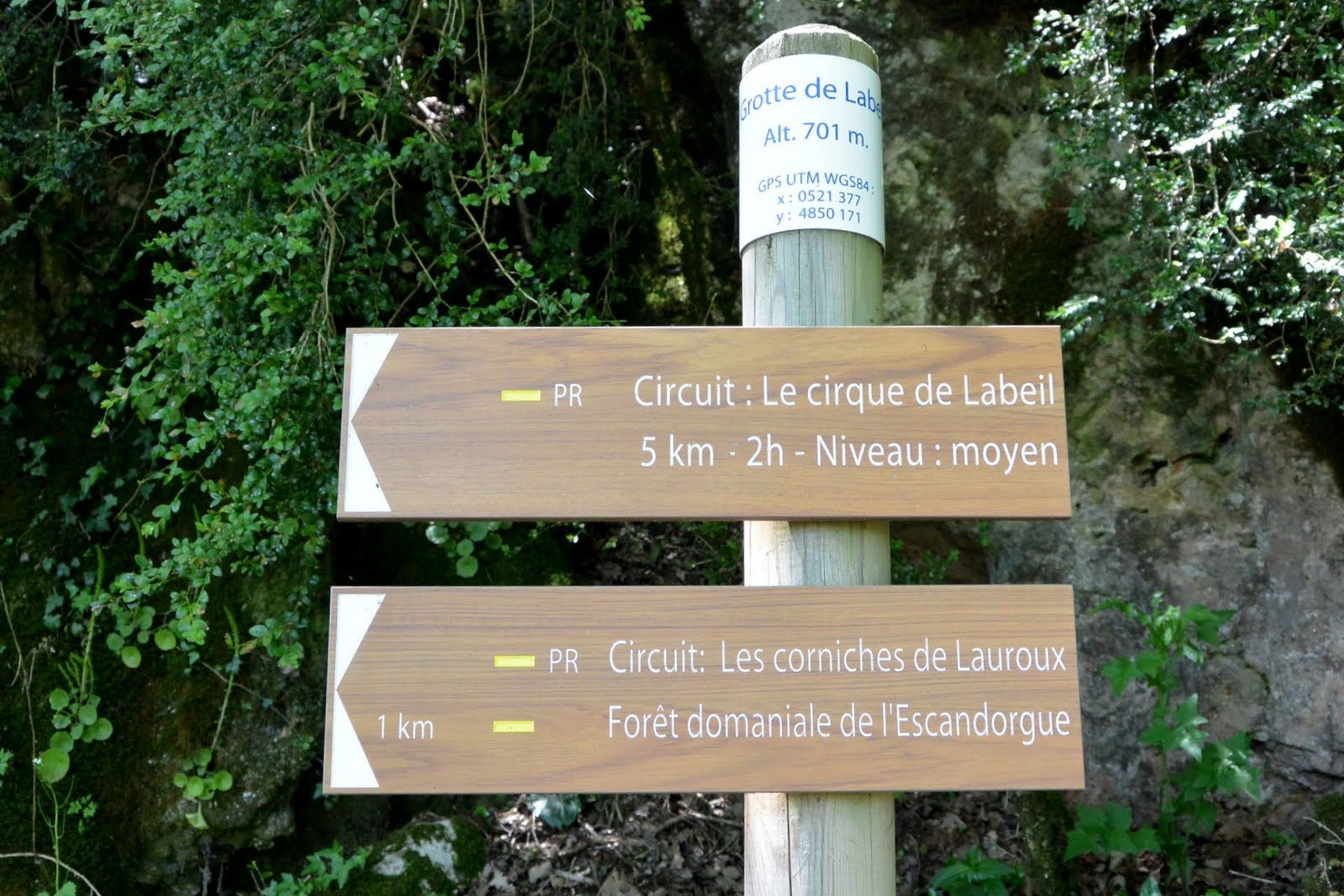
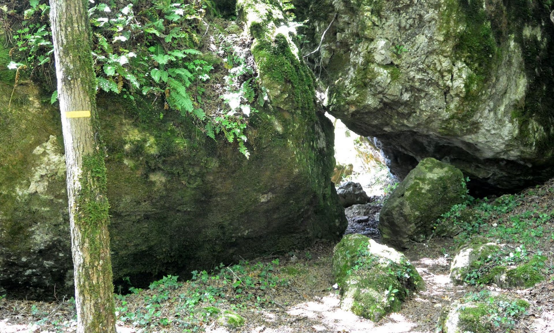
Climb to the right (viewpoint) onto the plateau (risk of fog). Go left into the forest, climb up and join a path. Go left under the rocky bars (viewpoint over the cirque and the hamlet of Labeil). Pass a rockfall (take care). Further on, cross a gap in the rock (junction with the Le cirque de Labeil circuit).
4
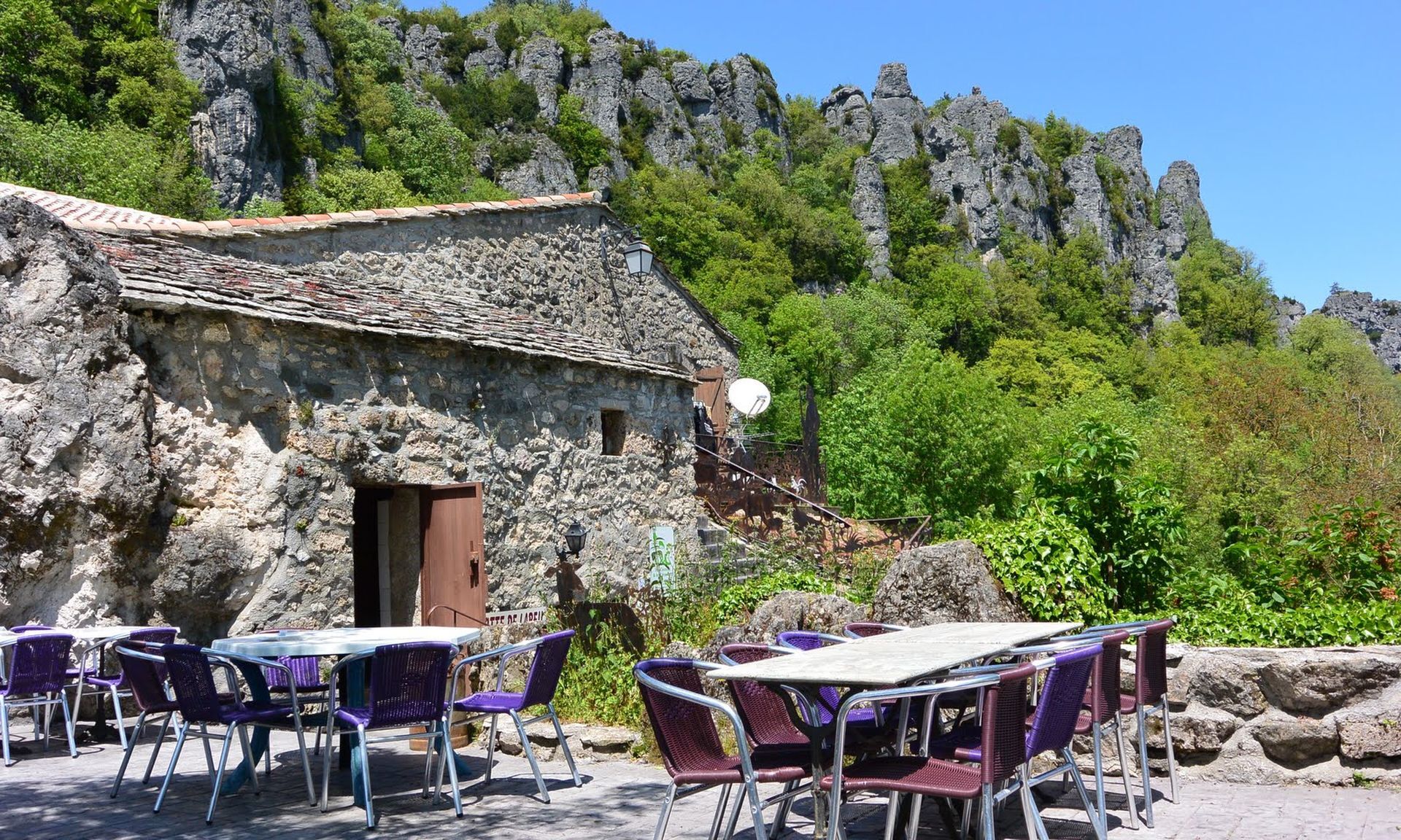
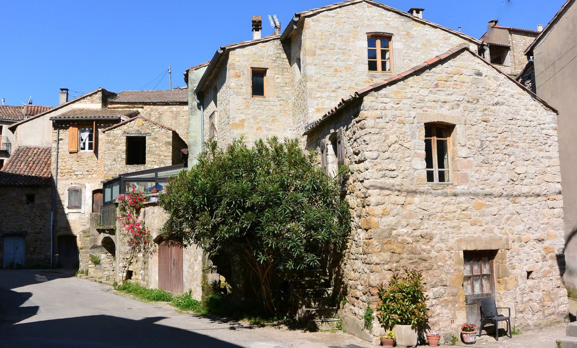
Wind down (slippery). The path zigzags and crosses a water pipe. Continue on to the hamlet of Labeil (cave and Labeil underground river).
5
Turn right onto the road. A few metres further on, turn left onto a path. Continue along the ledge under the cliffs (don't stray from the path, dangerous approach). Further on, pass a cave-in (take care), staying left on the path. Climb into the undergrowth and join a track (junction with the PR® De l'Orb à l'Escandorgue).
6
Go left, past the Roquet Escu picnic area and continue straight ahead into the Escandorgue forest (risk of fog). The path winds through conifers and beech trees, then reaches a metal gate (separation from the PR® De l'Orb à l'Escandorgue).
7
Opposite, the path crosses a chaos of ruiniform rocks. At the edge of the plateau, descend to the left, continuing along the hillside (viewpoint). At a conifer plantation, go downhill to the left. Find a path, go right and cross the plantation. Stay on the left-hand path and, at the next crossroads, descend onto a track. Go right as far as a bend.
In case of emergency, call 112.
Jaune PR
+33 4 67 67 76 36
HÉRAULT DEPARTMENTAL COUNCIL SPORTS AND NATURE DEPARTMENT
PDESI
Popularne wycieczki w okolicy
-
4,0
HIKE OF THE GRÉZAC PLATEAU
średniWędrówka 14,0 km -
HIKING THE MONTs D’ORB LAKE TOUR - GR® DE PAYS BETWEEN 2 LAKES AVÈNE – SALAGOU
średniWędrówka 33,6 km -
LAVAL DE NIZE HIKE
światłoWędrówka 6,07 km -
HIKING TOUR IN THE HEART OF THE CAUSSE - GR® DE PAYS TOUR DU LARZAC MÉRIDIONAL
średniWędrówka 56,7 km -
CAYROUX HIKE
średniWędrówka 11,5 km -
CIRQUE DE LABEIL HIKE
światłoWędrówka 3,90 km -
HIKING OF SOUTH LARZAC
średniWędrówka 17,4 km -
CYCLE LOOP No. 13 - THE COL DU PERTHUS AND THE LABEIL CIRQUE FROM LODÈVE
średniJazda na rowerze 39,3 km -
ROUTE NO. 87 - THE LION OF SERVIÈRES - MTB AREA FFC LODÉVOIS AND LARZAC
średniMountainbike 28,0 km -
ORB TO ESCANDORGUE HIKE
średniWędrówka 16,9 km
Wędrówki i tropienie


Nie przegap ofert i inspiracji na następne wakacje
Twój adres e-mail została dodana do listy mailingowej.





