






OENORANDO® THE VALLEY OF AROMAS

This Oenorando® will let you discover the appellation of the Haute Vallée de l’Orb where winemakers nurture their wines with passion and pride. Rich in preserved nature and typical villages, this route...
This Oenorando® will let you discover the appellation of the Haute Vallée de l’Orb where winemakers nurture their wines with passion and pride. Rich in preserved nature and typical villages, this route offers real heritage discoveries and breathtaking landscapes over the causses and the Mare valley.


1
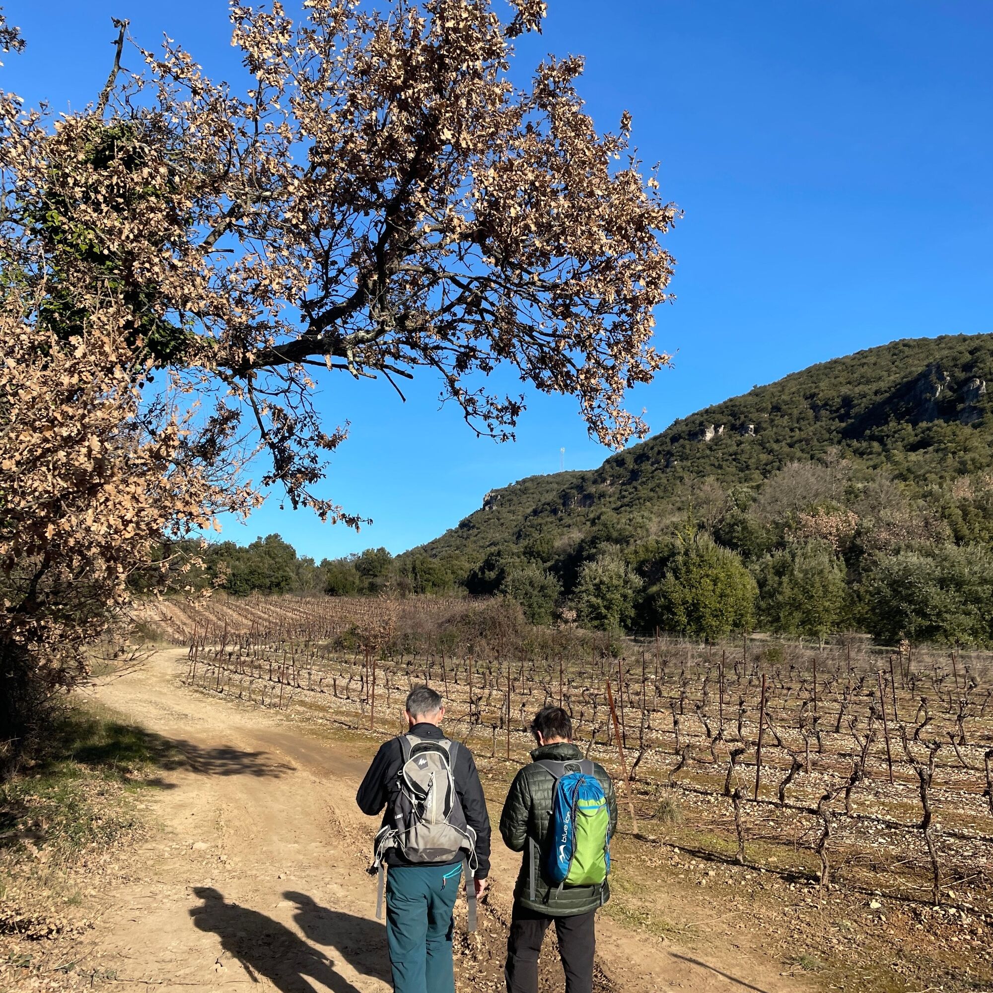
From the parking lot of the cooperative cellar, start left and take the sidewalk on the left of the D 13 (Avenue des 13 Vents) for 300 m. Cross the avenue at the pedestrian crossing and continue to the left. Descend to the right via Chemin de l’Ancien Relais. This road borders a housing estate then climbs through vegetation. At the hairpin bend, leave the road and go straight ahead on an ascending track. Follow the track which, on a balcony above the Rieu Pourquié, skirts plots of vines. Continue and reach a fork in the path.
2
Leave the GR® 7 on the left towards Lamalou-les-Bains, continue climbing on the right towards Le Pradal. At the next intersection, continue right. The road climbs in hairpin bends with a panorama over the hamlets of Taussac and Blaquière. Ignore a track to the right and reach a crossroads at a bus shelter.
3
Immediately turn right onto Chemin de la Bade, and at the next intersection, stay right on the ascending track. Walk about 500 m, then climb right at the hairpin bend. Walk 50 m more and turn left onto a track. Pass a vineyard and continue along the main path for 600 m. Begin a descent and turn left onto a descending track. Ignore departing tracks, pass a water tower on the right and continue the descent.
4
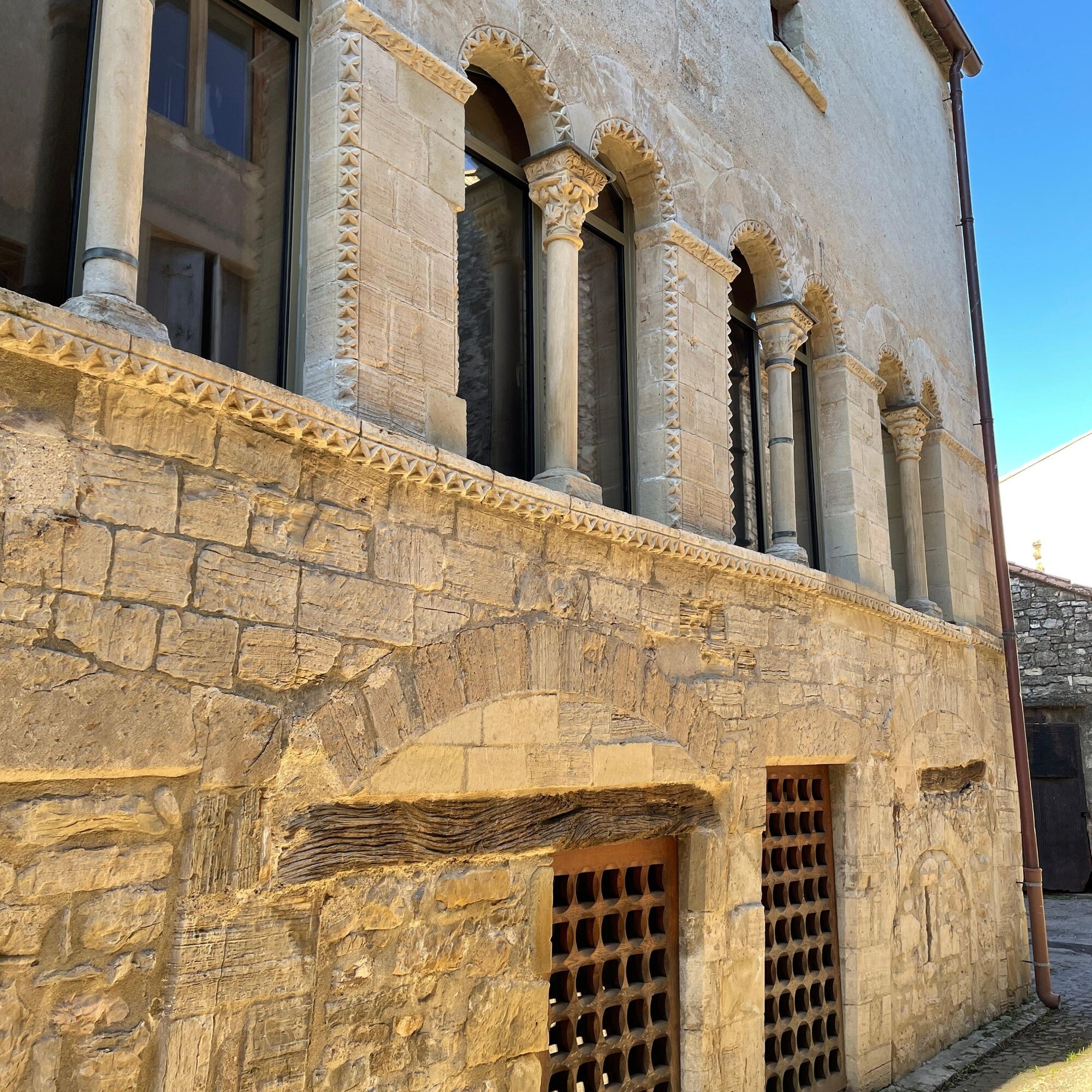
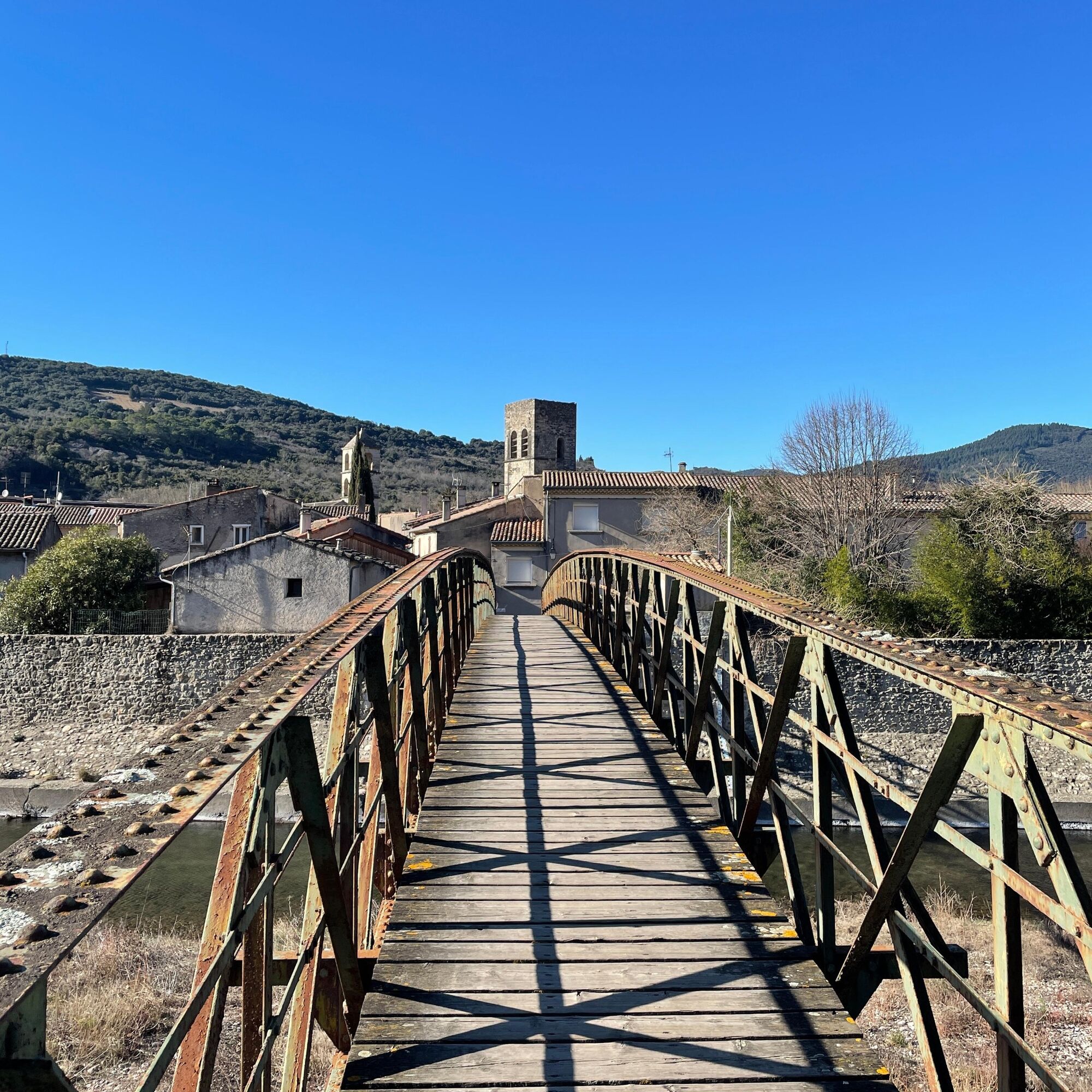
Leave the track and take a path to the right (caution, steep descent). At the first houses of Villemagne-l’Argentière, continue descending to the road. Cross D 922 by the pedestrian crossing then go left on the sidewalk. Pass a large building, then enter the abbey village through a porch. Continue along Rue des 2 Porches and go around Saint-Majan Church via Saint-Majan Square (War Memorial). Opposite, take Rue de l’Hôtel des Monnaies then turn right onto Rue Droite. Then turn left onto Rue du Mazel and cross the Mare on the footbridge.
5
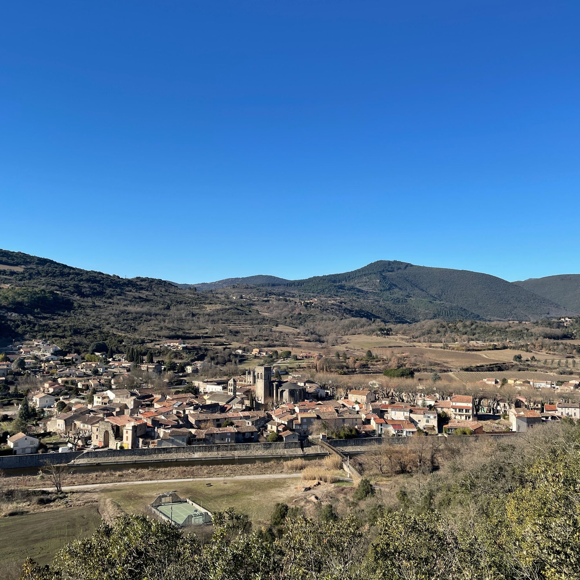
At the road, climb left, walk 100 m and take the path to the right. Retrieve the road and continue climbing, panorama over Villemagne l’Argentière. At the fork, continue right. Stay on the main route for about 400 m. After a hairpin bend, leave the road for a track on the right, walk 300 m.
6
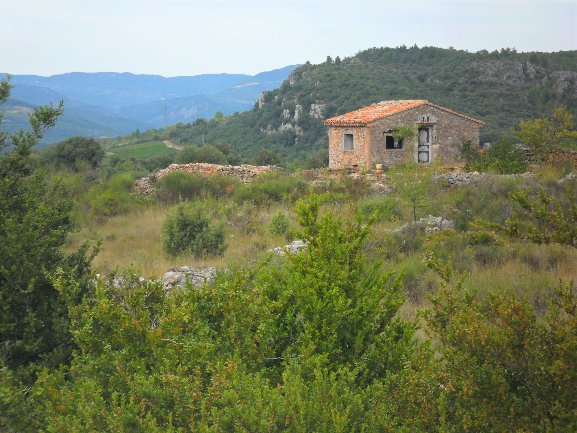
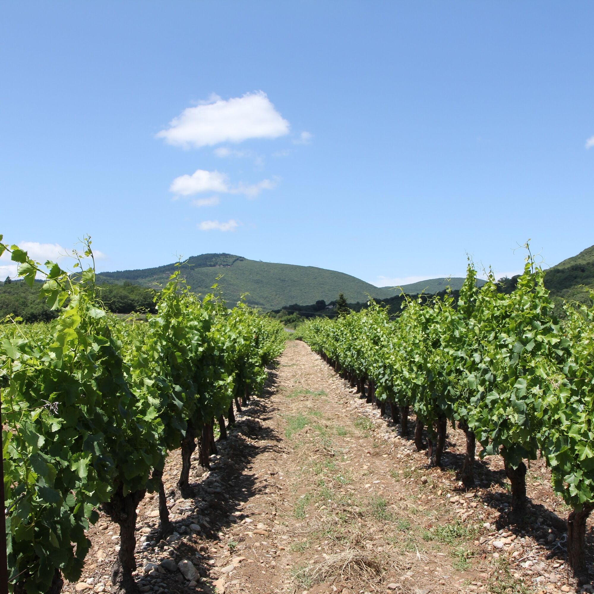
At a bend, climb left via a trail through laurel bushes. At the top, find a track, ignore a descending track. Pass a dwelling and at the intersection (capitelle), go left. Enter the causse of Villemagne. At the next crossroads, facing a clapas (long pile of stones), go right then walk between vines for about 500 m (caution, carefully follow markings). Find a track and descend left, going around a mazet. At the intersection, continue straight on a path. At the track, descend left, go around a dwelling (stay on the track). After two bends, at the T-junction, go left. Pass along a vineyard then at a parking area, descend right on the track avoiding a stone house. Carefully follow the markings, the track continues descending along the vineyard. At the bottom, at the road, join the Passa Païs Greenway.
7
Take the Greenway on the right up to the entrance of Hérépian. Cross a road and continue on the old railway line. Cross the bridge and turn left at the level of the Bell and Chime museum. Go around the building and from the parking, take the stairs. Climb left on Avenue de la Gare. At the top, stay left on the sidewalk, cross the Greenway by the bridge. Then turn left to reach the cooperative cellar.
In case of emergency, dial 112
Lines 303-485 Montpellier Hérépian
Lines 303-485 Montpellier Hérépian
Steep descent after 4, before Villemagne l'Argentière.
Carefully follow the markings between 6 and 7 on the causse.
Yellow PR
https://www.tourisme.grandorb.fr
Grand Orb Tourist Office
Oenorando®

Popularne wycieczki w okolicy
-
4,0
GORGES DE COLOMBIERES HIKE
średniWędrówka 12,0 km -
5,0
HIKING OF THE HÉRIC GORGES VIA THE ORIENTATION TABLE
średniWędrówka 16,3 km -
4,0
CAROUX SUMMIT HIKE
średniWędrówka 7,94 km -
5,0
HIKING OF THE L'ESPAZE ARBORETUM
średniWędrówka 12,3 km -
3,0
CYCLE LOOP No. 29 - FROM THE VALLEYS TO THE PEAKS OF HAUT-LANGUEDOC
średniJazda na rowerze 64,3 km -
5,0
HIKING THE RED ROCK
średniWędrówka 7,01 km -
HERIC GORGES ROAD - MONS LA TRIVALLE
średniWędrówka 9,38 km -
HIKE OF SAINT MICHEL DE MOURCAIROL
średniWędrówka 11,7 km -
LAVAL DE NIZE HIKE
światłoWędrówka 6,07 km -
HIKING OF THE HÉRIC GORGES VIA THE COL DE BARDOU
średniWędrówka 12,4 km
Wędrówki i tropienie


Nie przegap ofert i inspiracji na następne wakacje
Twój adres e-mail została dodana do listy mailingowej.





