


GORGES DE COLOMBIERES HIKE
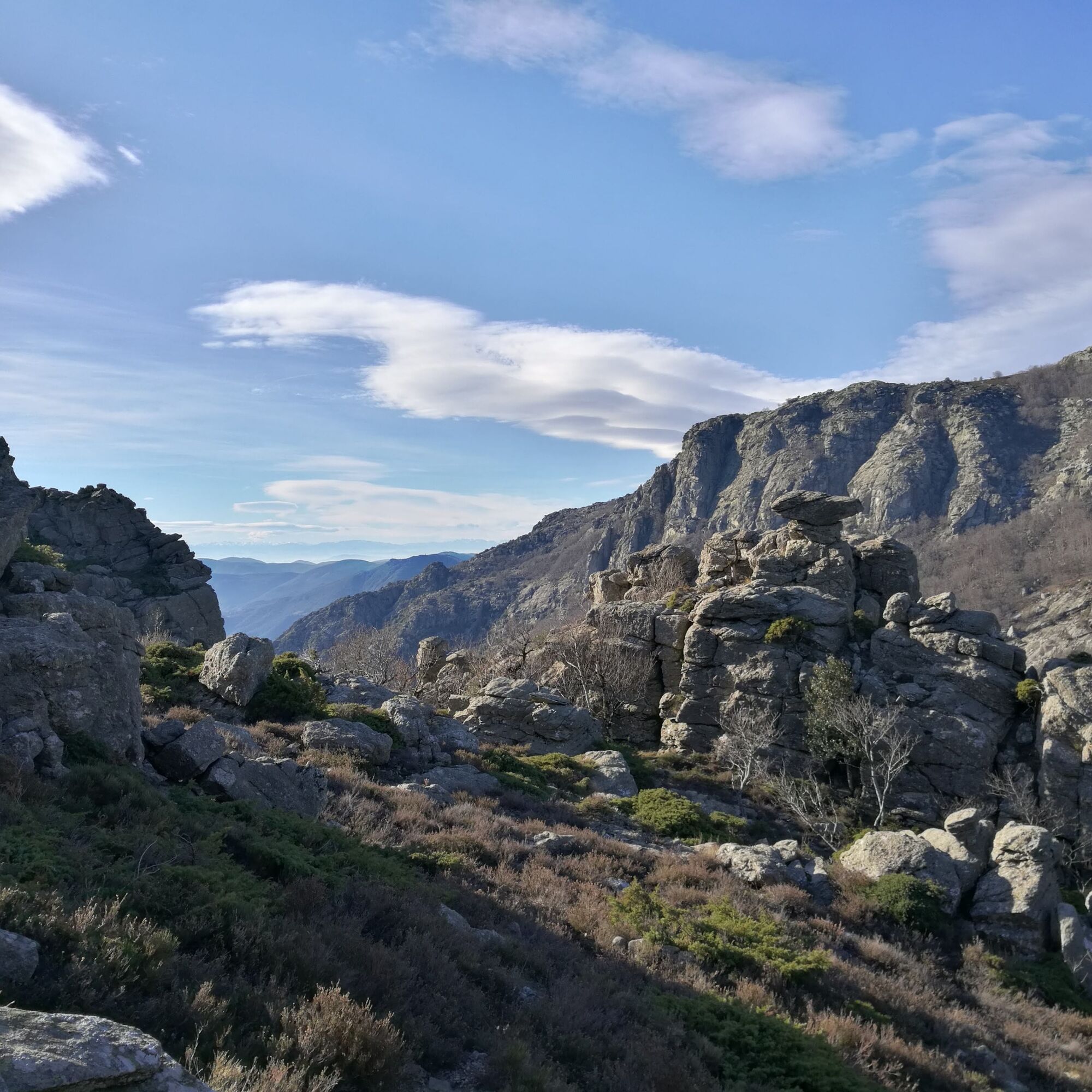
This is a must-do hike in the Hérault!It's a great challenge and a great way to discover one of the Terres d'Hérault Geopark's flagship geosites. After views of the gorges, you'll cross a plateau of broom...
This is a must-do hike in the Hérault!
It's a great challenge and a great way to discover one of the Terres d'Hérault Geopark's flagship geosites.
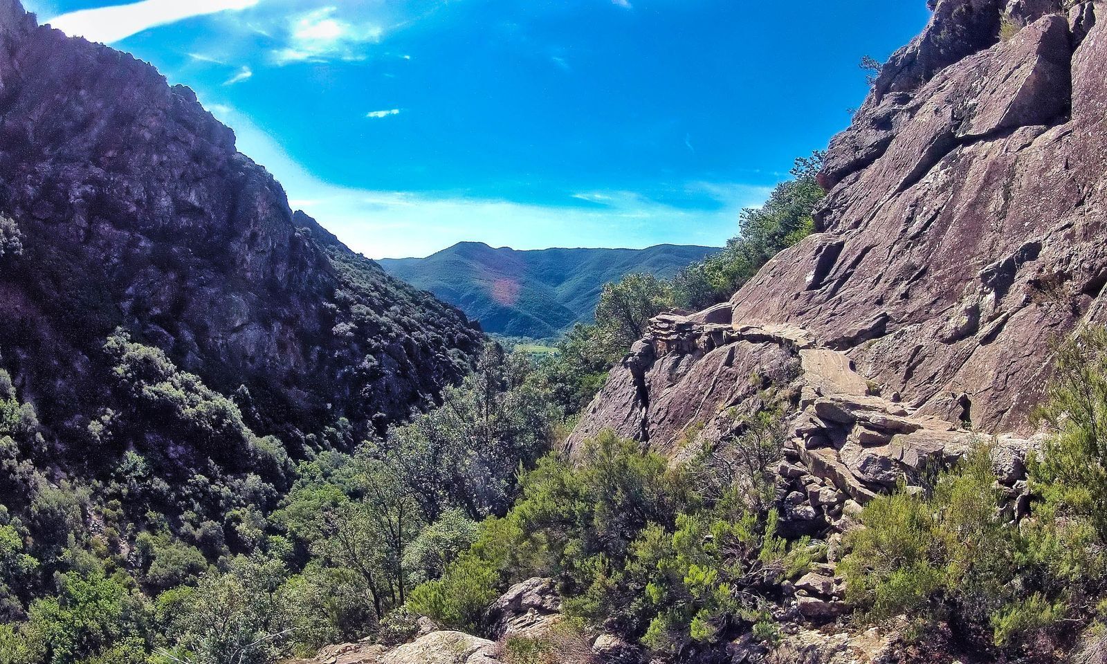
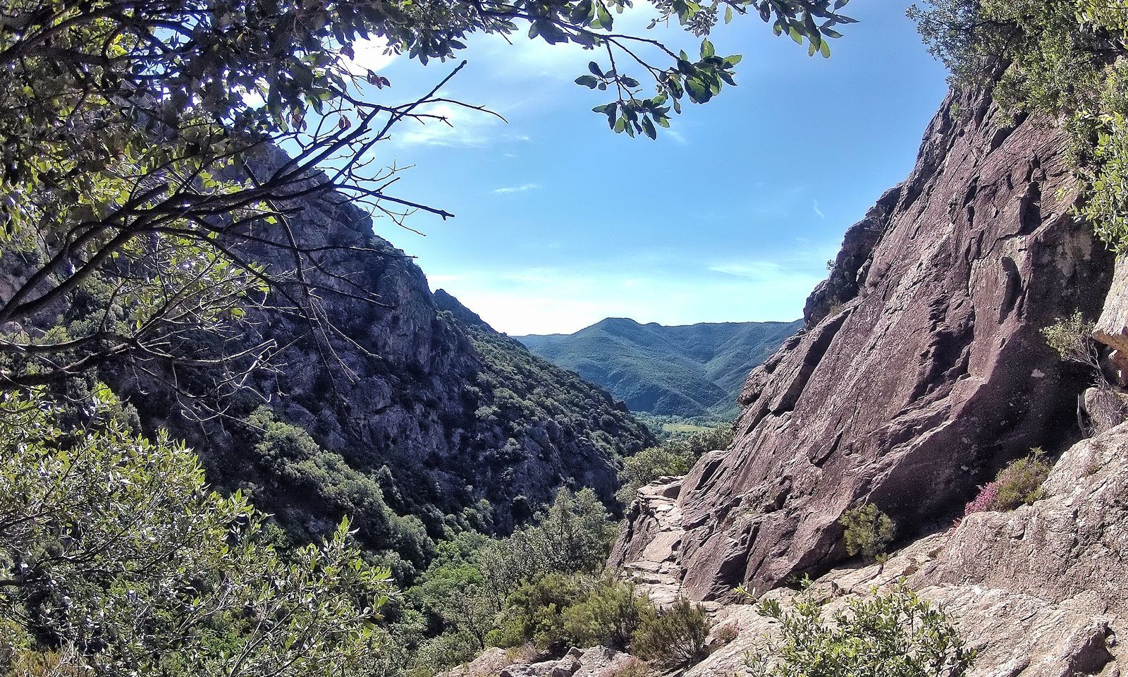
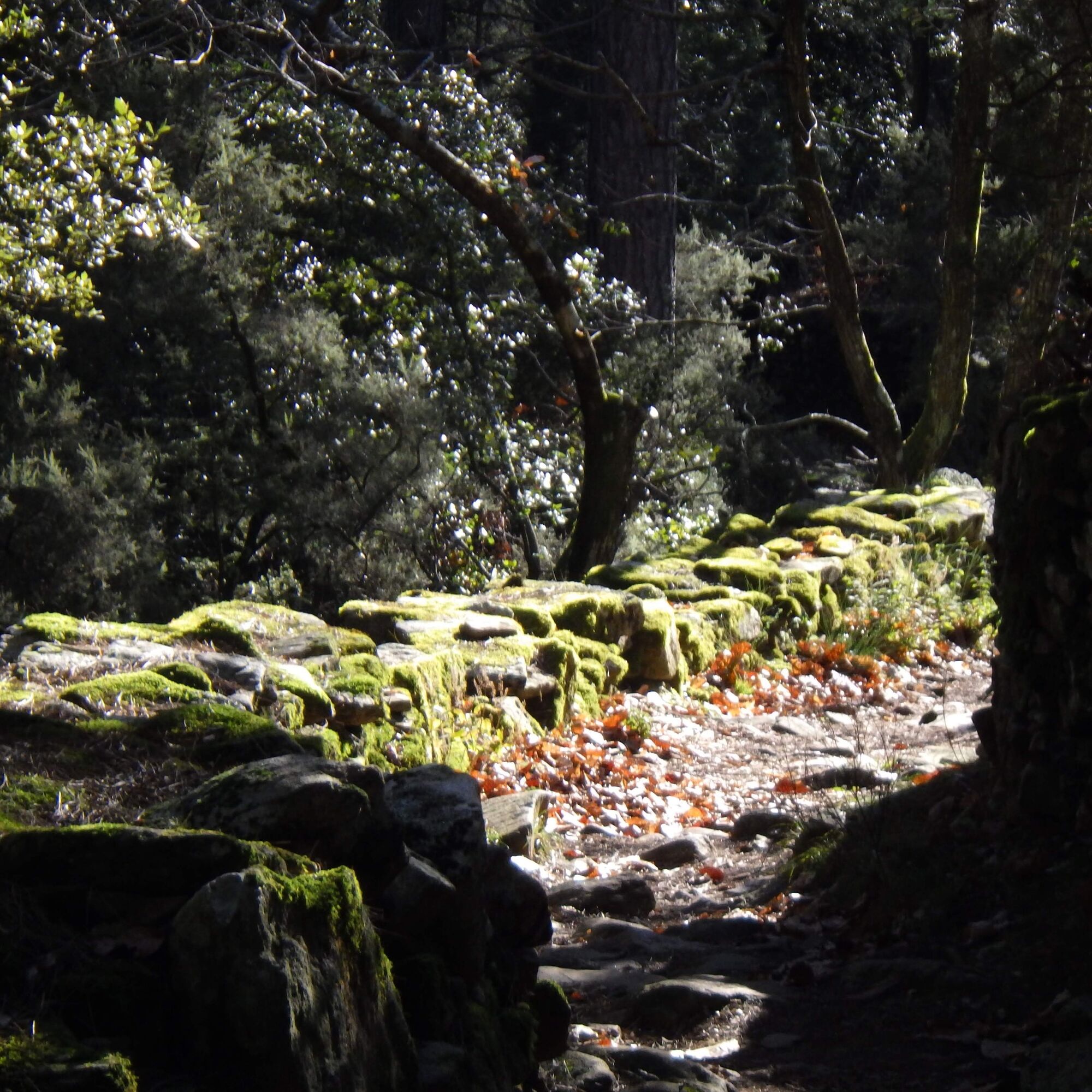
After views of the gorges, you'll cross a plateau of broom and heather moorland, before descending along an ancient Roman road through centuries-old oak and chestnut groves.

1
From the parking lot, follow the road up alongside the church. Take the track on the right into the chestnut grove. Continue along the path, following the signs for Jean-Claude Carrière.
2
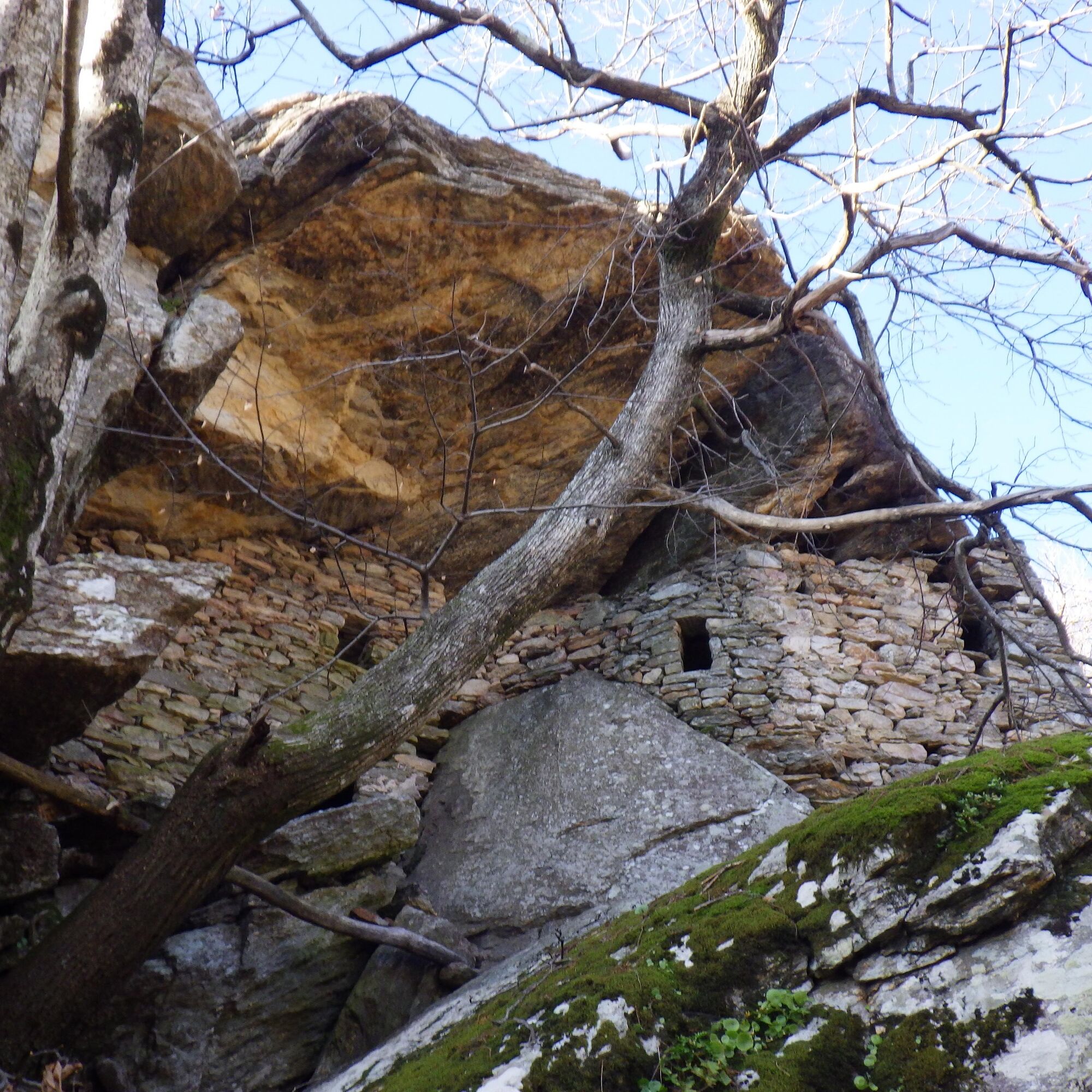
Turn left. Cross two streams, pass the ruins of an old chestnut drying shed (sécadou) before reaching the troglodyte dwellings.
3
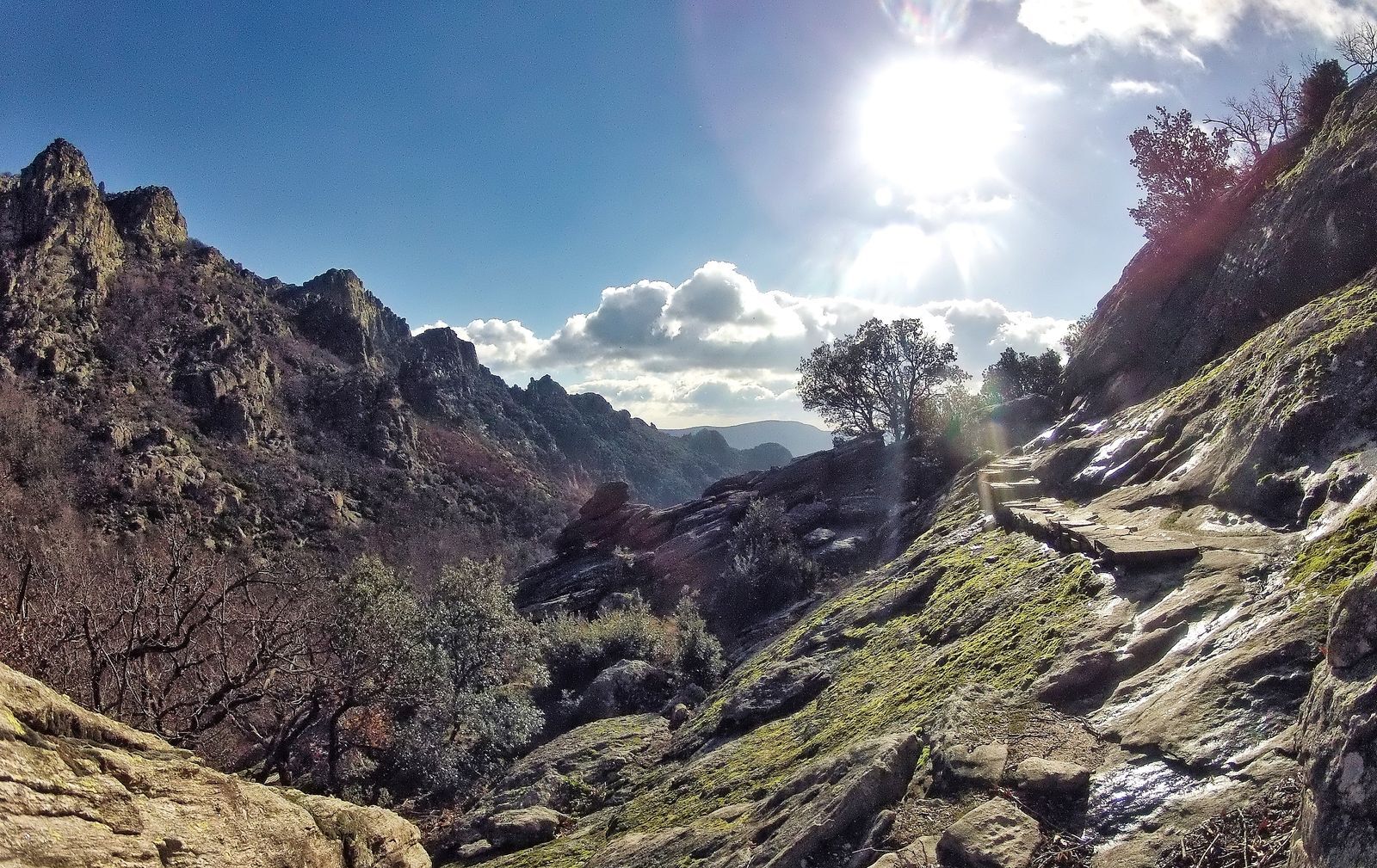
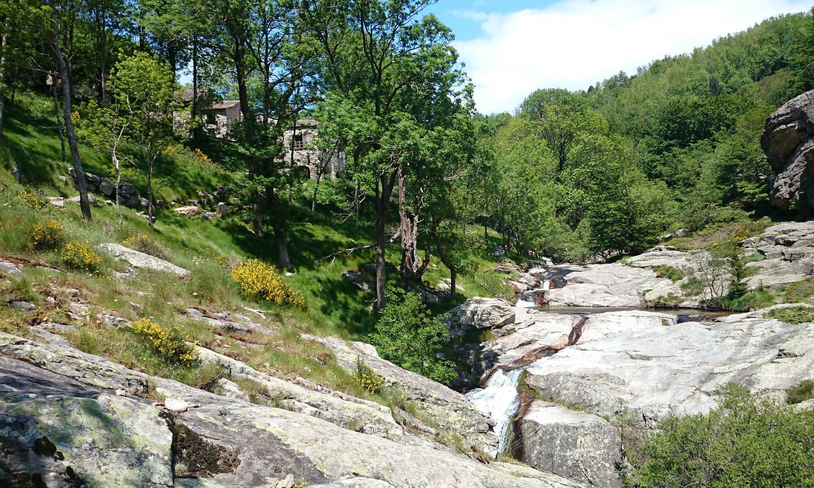
Follow the path winding between boulders on the side of the gorge, approaching the Ruisseau d'Arles, then skirt the bank of the stream before reaching La Fage.
4
Cross the hamlet of La Fage (private property), continue along the road (GR® 7) on the left, then the track on the left and, after 70 m on the right, climb the path for 200 m. Descend, leaving the Avels farm on your right, then climb up the slope along a deep gorge to the threshold at the foot of the Brétouyre rock.
5
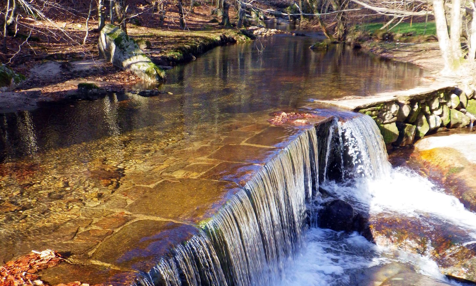
Go left for 250 m. Go right down the cobbled Roman road. It winds down into the valley. Continue downhill over the Thérondet stream, joining a cemented track.
6
Follow the dirt track to Les Seilhols.
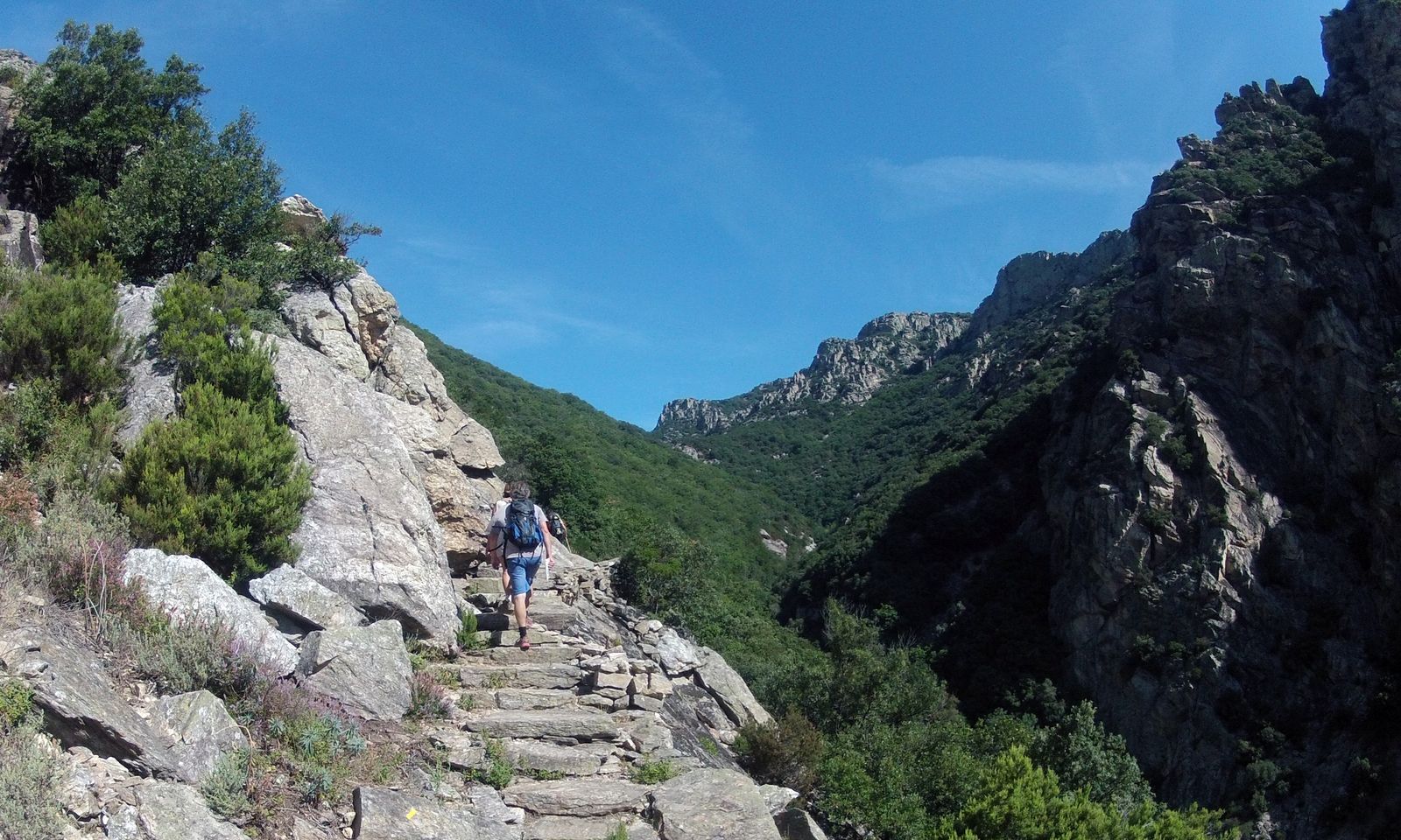
7
Take the staircase path. It winds its way down through the hamlet of Les Seilhols to the D908. Turn right, cross the Colombières-sur-Orb bridge and follow the sidewalk along the road. Turn right on rue de la Borie and right again on rue de l'église to reach the parking lot.
The Caroux massif is considered sensitive to the risk of fire: in summer, consult the daily forest fire risk map.
In winter, some springs and temporary streams crossing the route can generate 'ice rinks': stay vigilant! The upper part of the itinerary can be swept by violent, cold winds: keep covered!
Yellow markings are operational in both directions: - useful if you have to turn back for one reason or another - in summer, or when the sun is out in spring or autumn, we prefer to hike in the opposite direction... The climb is shadier under the chestnut trees, and the south-facing views on the left bank of the torrent d'Arles are well worth a look!
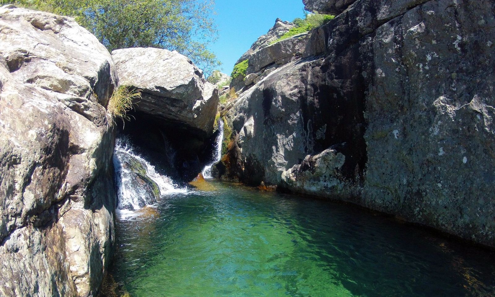
The turquoise pools of the torrent d'Arles invite you to take a dip: - prefer the upper part of the gorge on the right bank of the torrent, below the gîte / hamlet of La Fage, as access is easier from the path, - It's still a mountain torrent, and some of the pools can be dangerous if the flow is high, - off the path, you're on someone's property! Respect the site, don't leave garbage... and be aware that your off-trail trip is entirely your own responsibility...
Jaune PR
+33 4 67 67 76 36
HÉRAULT DEPARTMENTAL COUNCIL SPORTS AND NATURE DEPARTMENT
Géorando
Popularne wycieczki w okolicy
- 5,0
HIKING OF THE HÉRIC GORGES VIA THE ORIENTATION TABLE
średniWędrówka 16,3 km - 5,0
HIKING OF THE L'ESPAZE ARBORETUM
średniWędrówka 12,3 km - 4,0
CAROUX SUMMIT HIKE
średniWędrówka 7,94 km - 5,0
HIKING ROUTE OF THE TERRASSES DE L'ESPINOUSE
średniWędrówka 16,8 km - 5,0
HIKING THE RED ROCK
średniWędrówka 7,01 km - 5,0
OENORANDO® THE VALLEY OF AROMAS
średniWędrówka 13,7 km - 3,0
CYCLE LOOP No. 29 - FROM THE VALLEYS TO THE PEAKS OF HAUT-LANGUEDOC
średniJazda na rowerze 64,3 km HIKE OF SAINT MICHEL DE MOURCAIROL
średniWędrówka 11,7 kmHERIC GORGES ROAD - MONS LA TRIVALLE
średniWędrówka 9,38 kmHIKING OF THE ROQUANDOUIRE GATEWAY
średniWędrówka 10,5 km
Wędrówki i tropienie


Nie przegap ofert i inspiracji na następne wakacje
Twój adres e-mail została dodana do listy mailingowej.