






Circular hiking route - "Great Eight" Steinbach-Hallenberg - Thuringian Forest
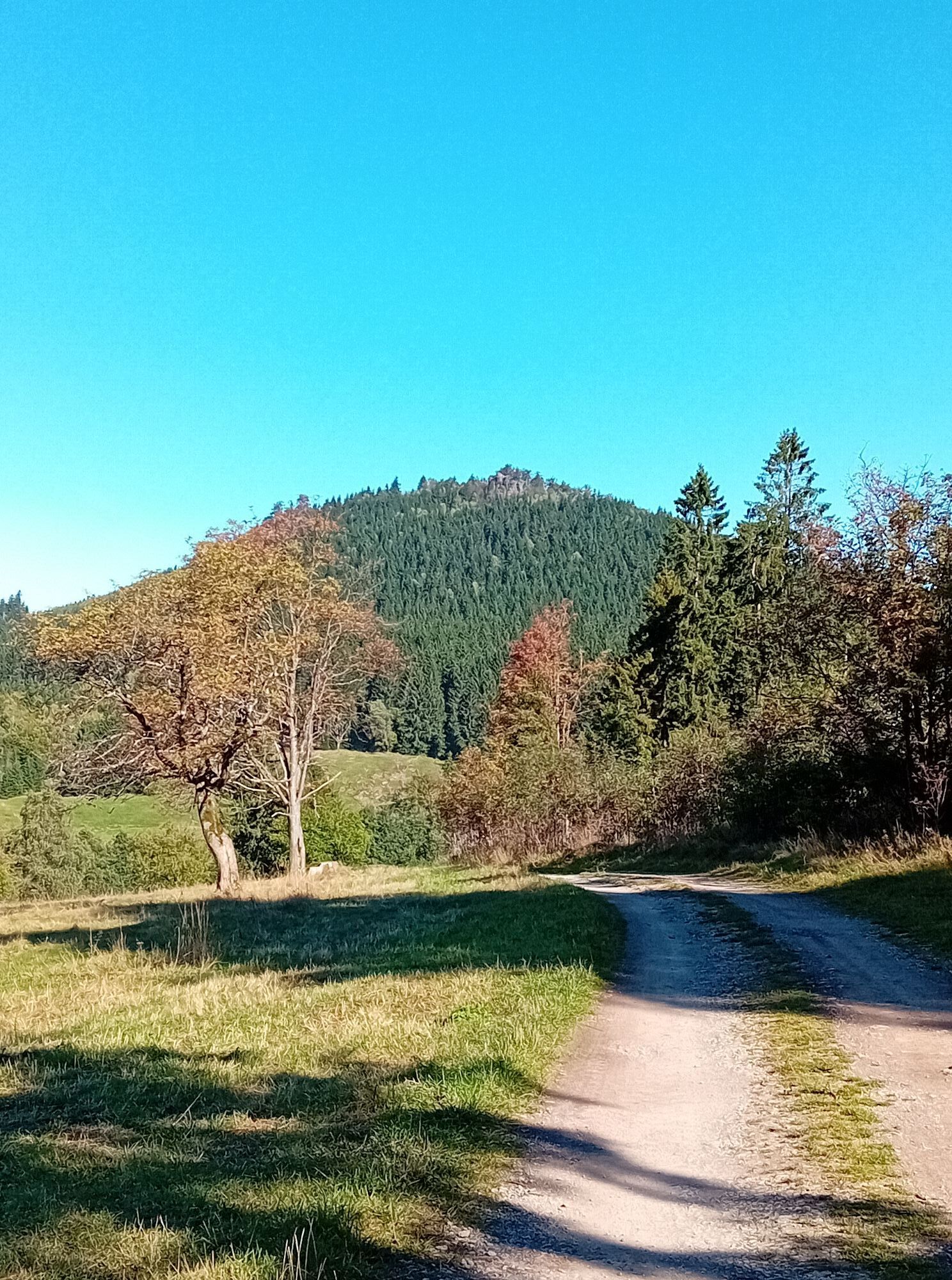
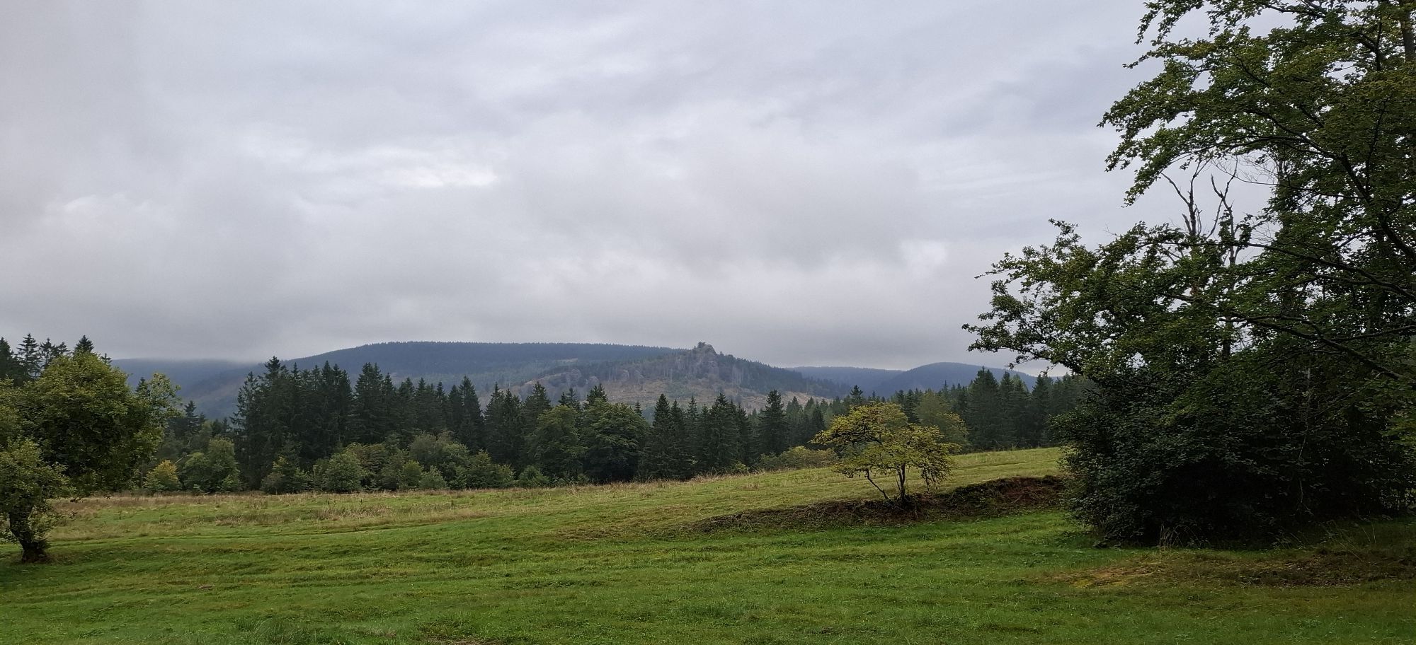
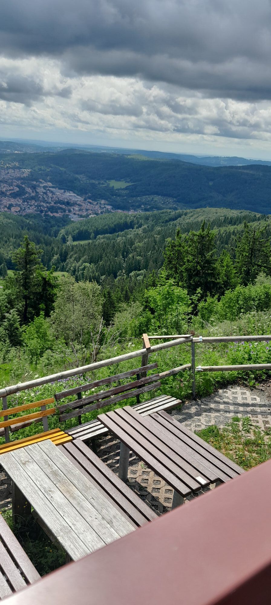
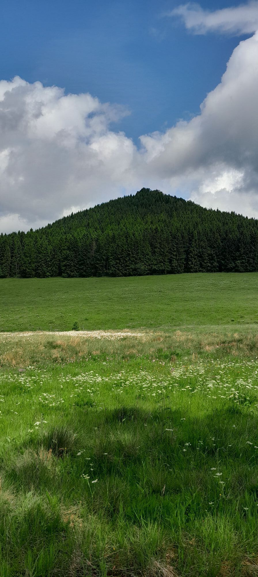
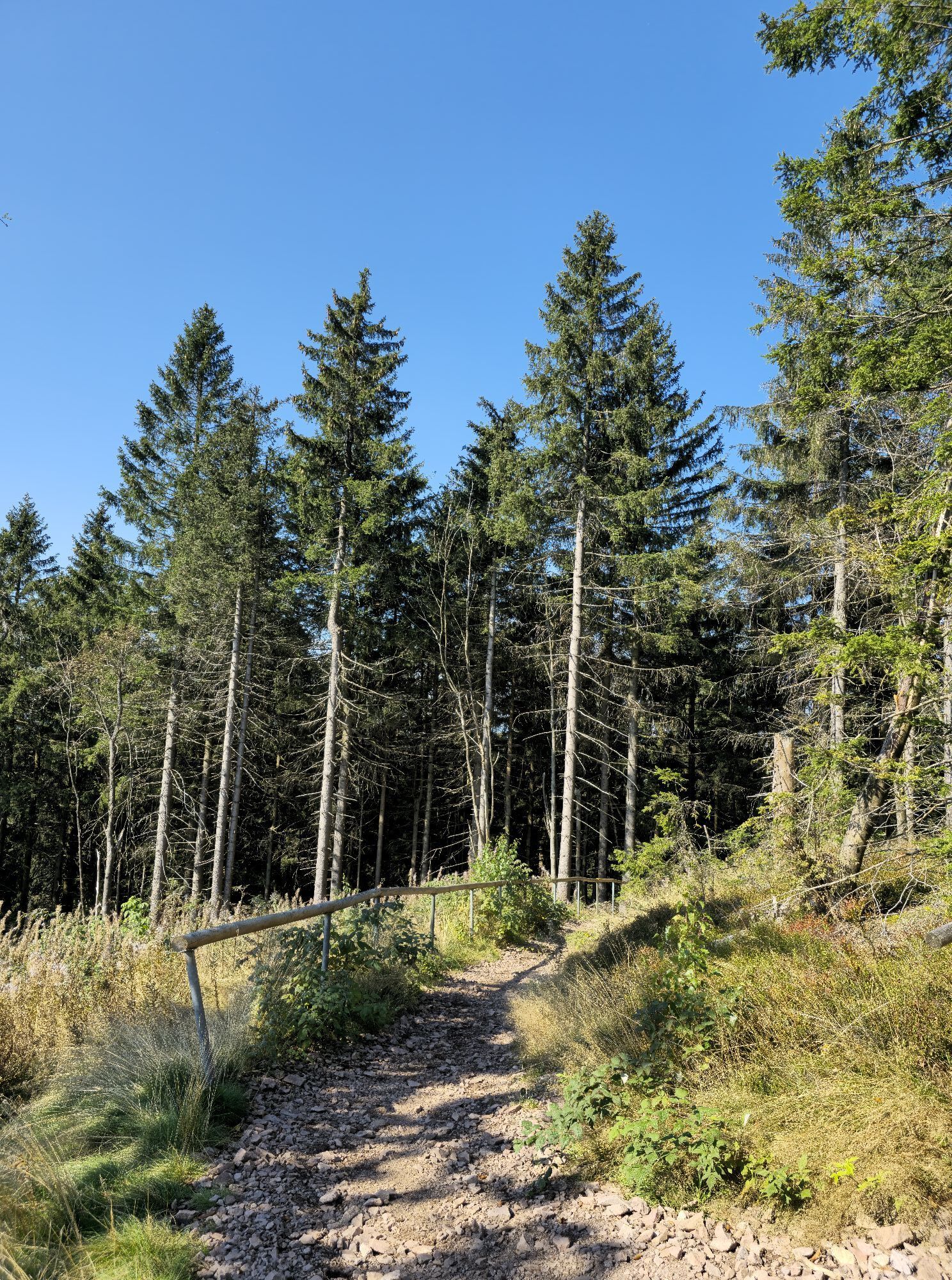
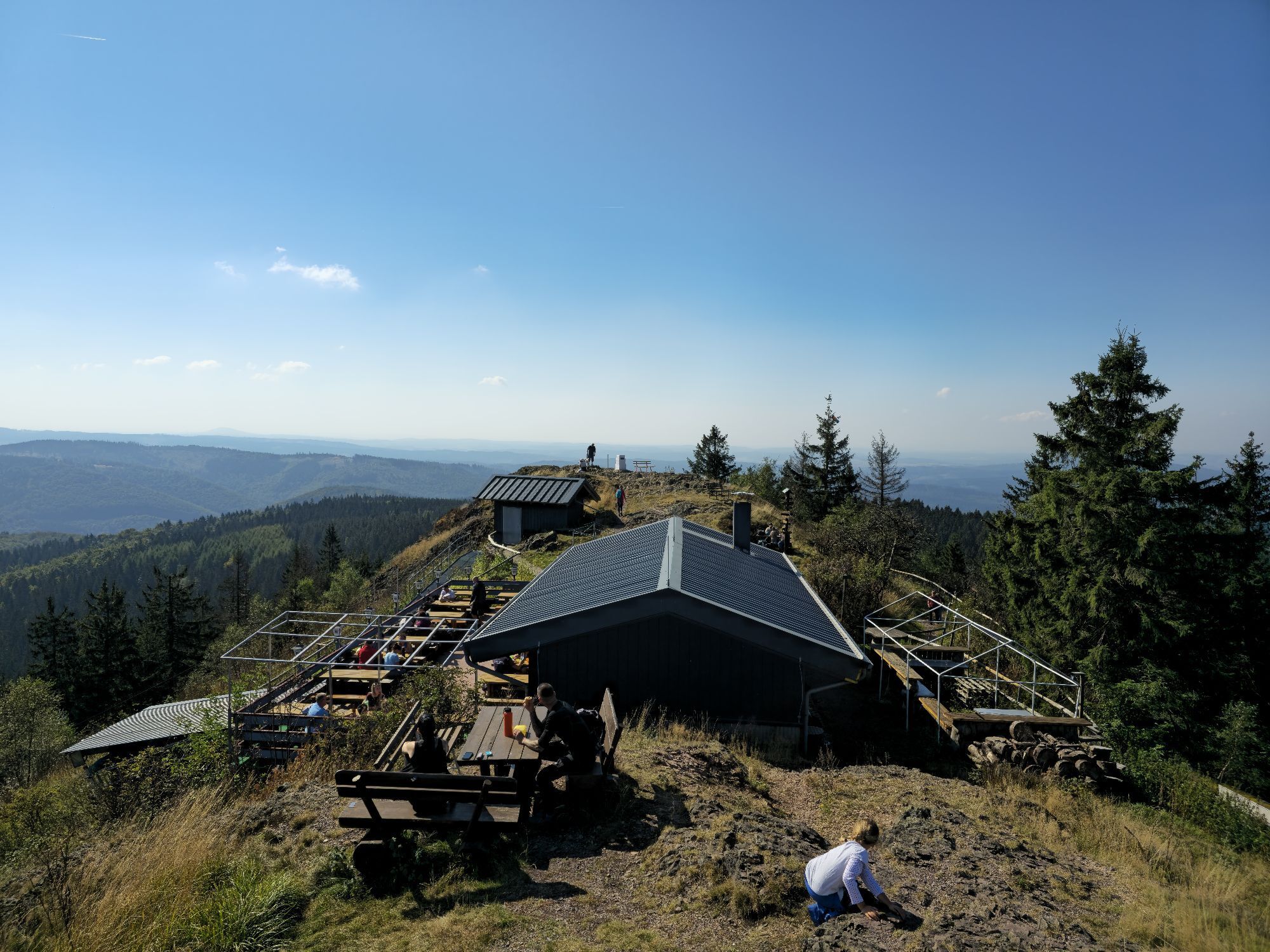
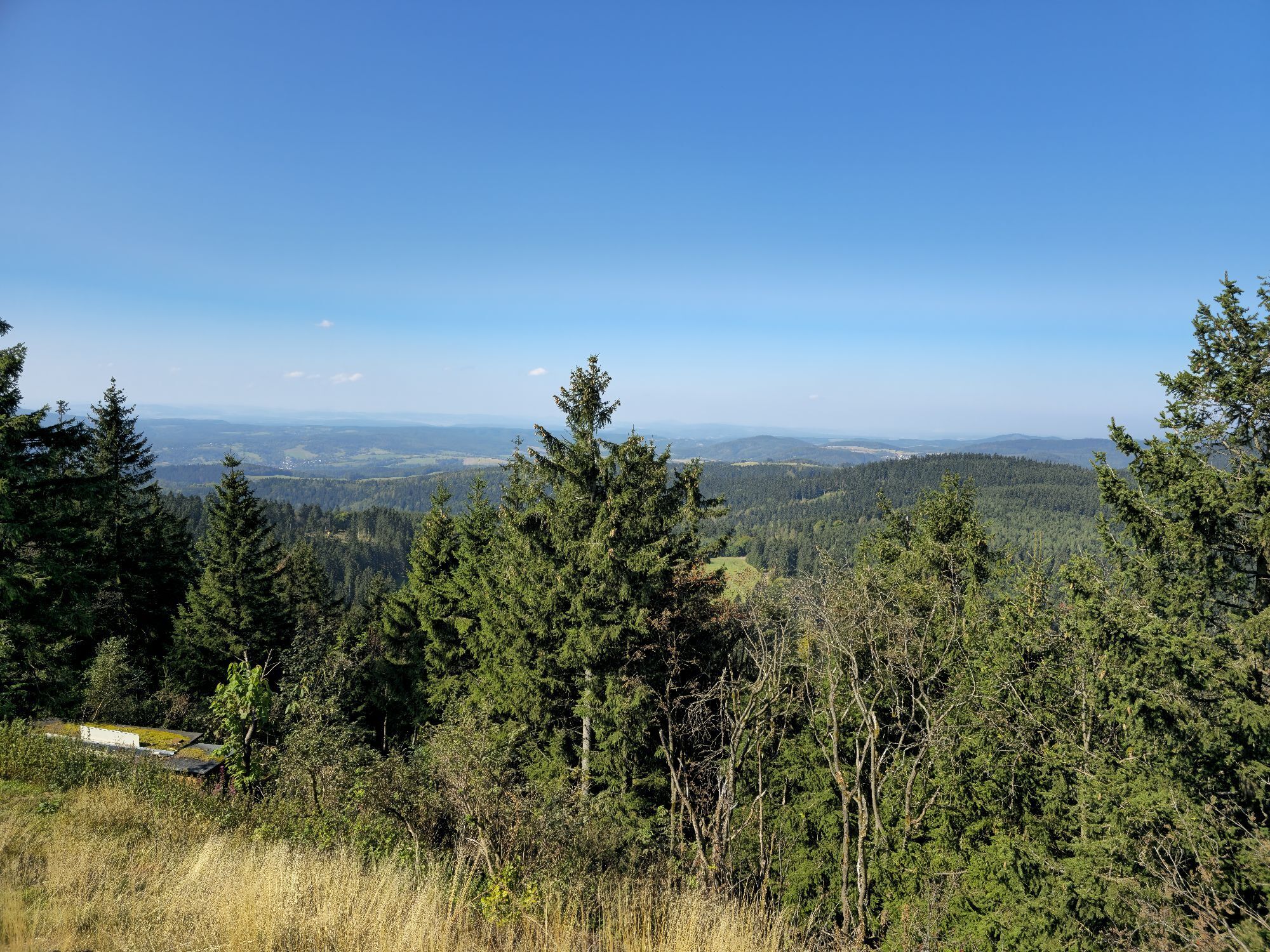
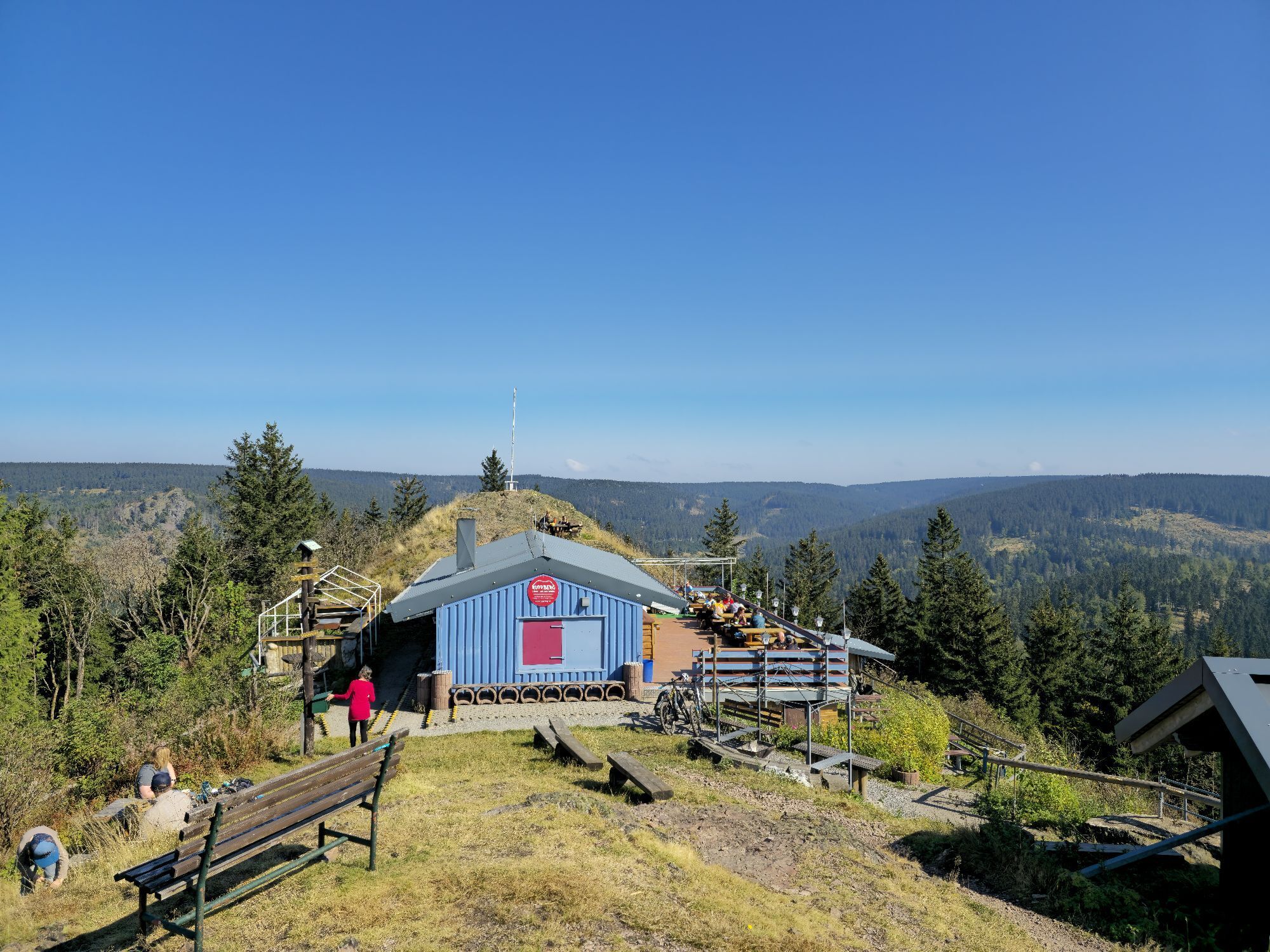
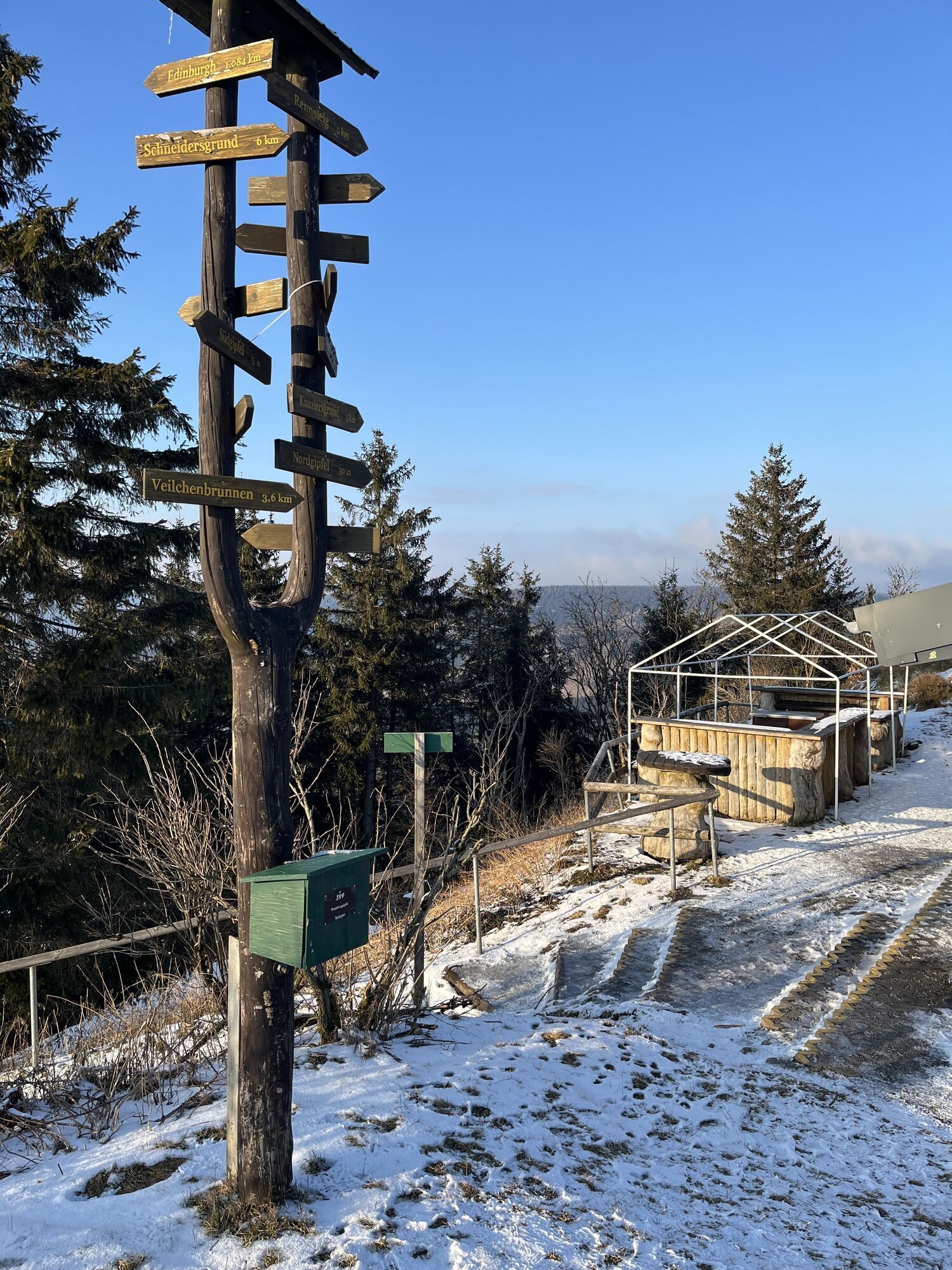
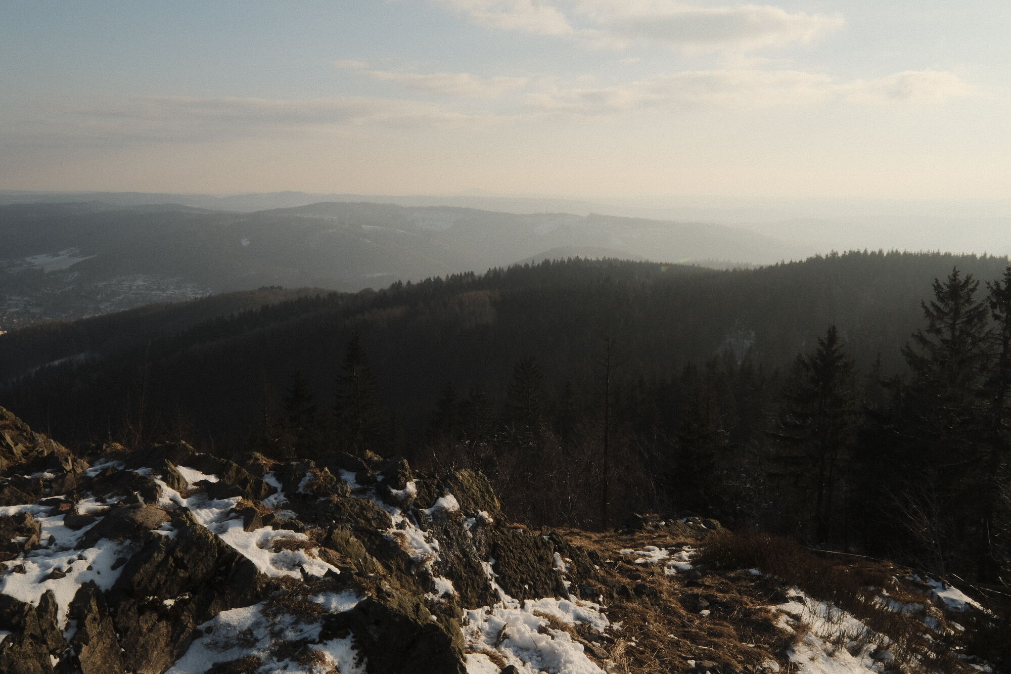
From the Knüllfeld ski and hiking area above the town of Steinbach-Hallenberg, the path leads you through a beautiful nature reserve meadow with rare orchid species (Ganswiese) toward Steinhauk and further...
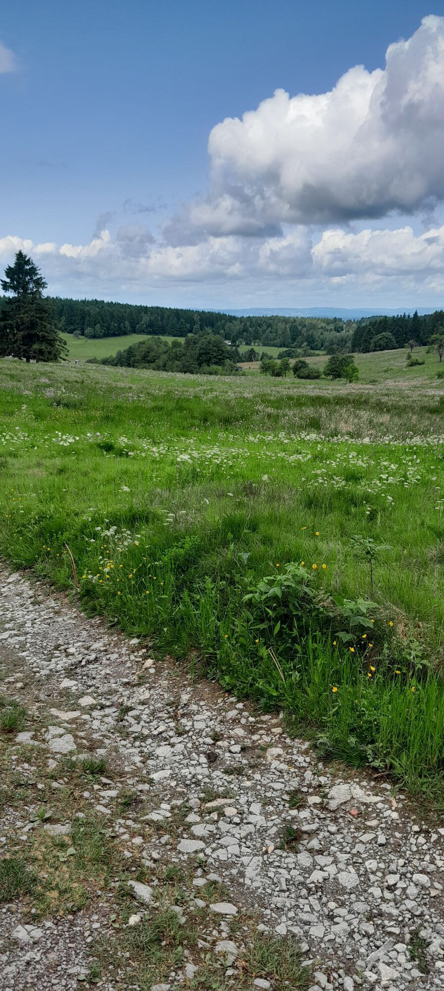
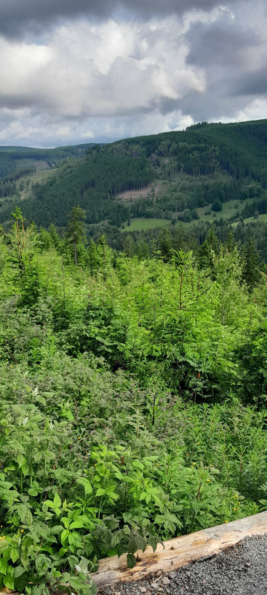
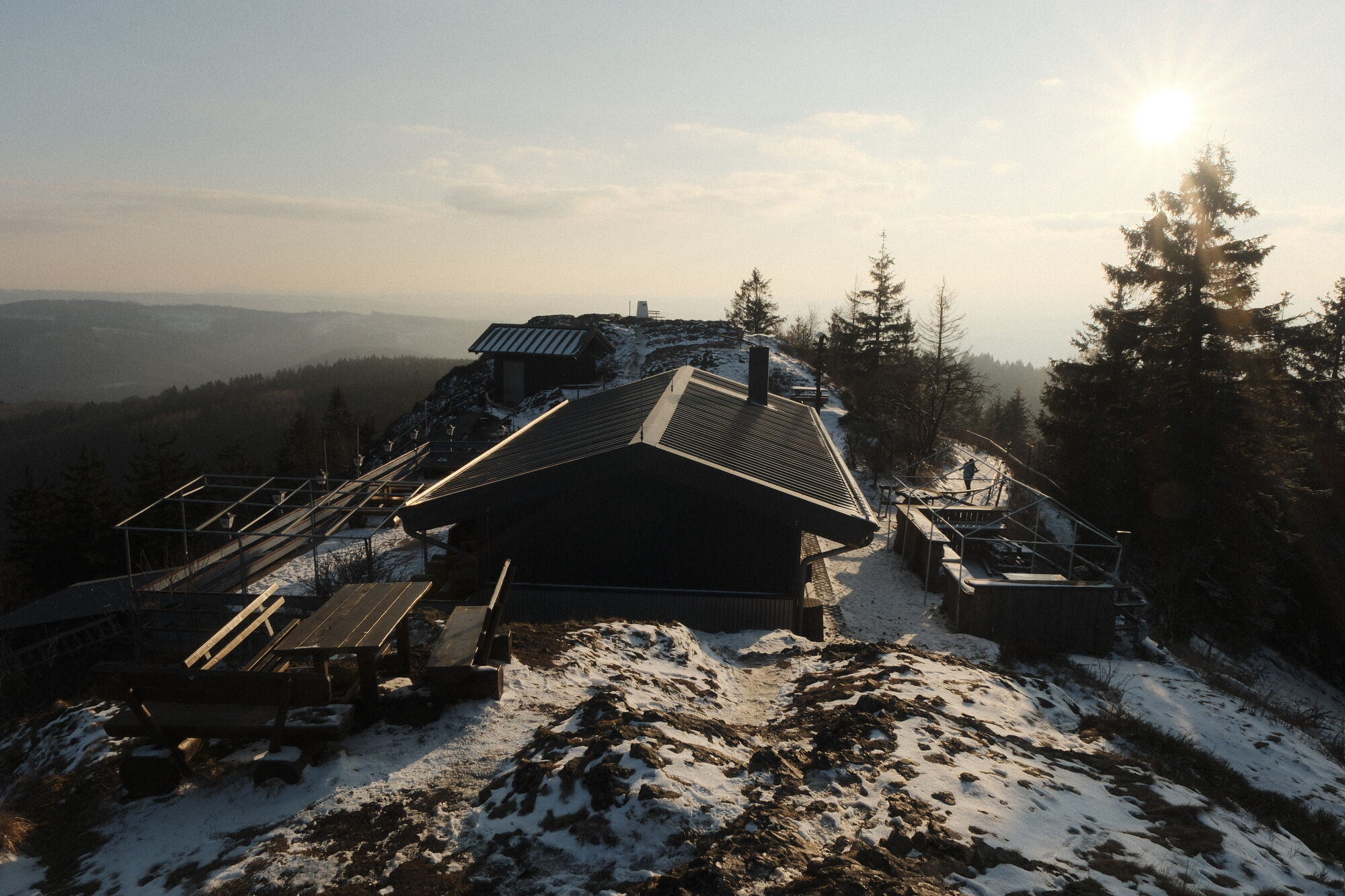
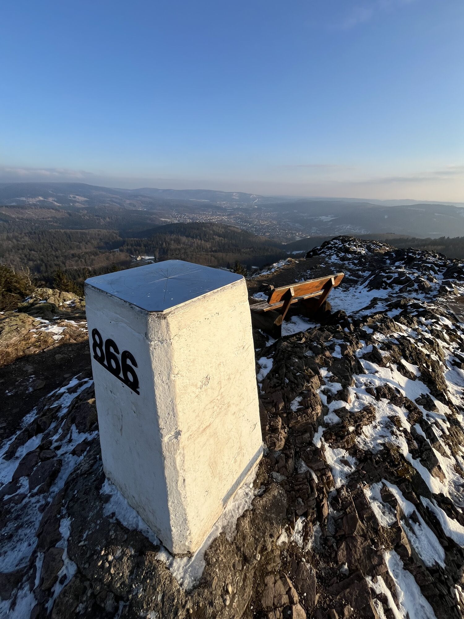
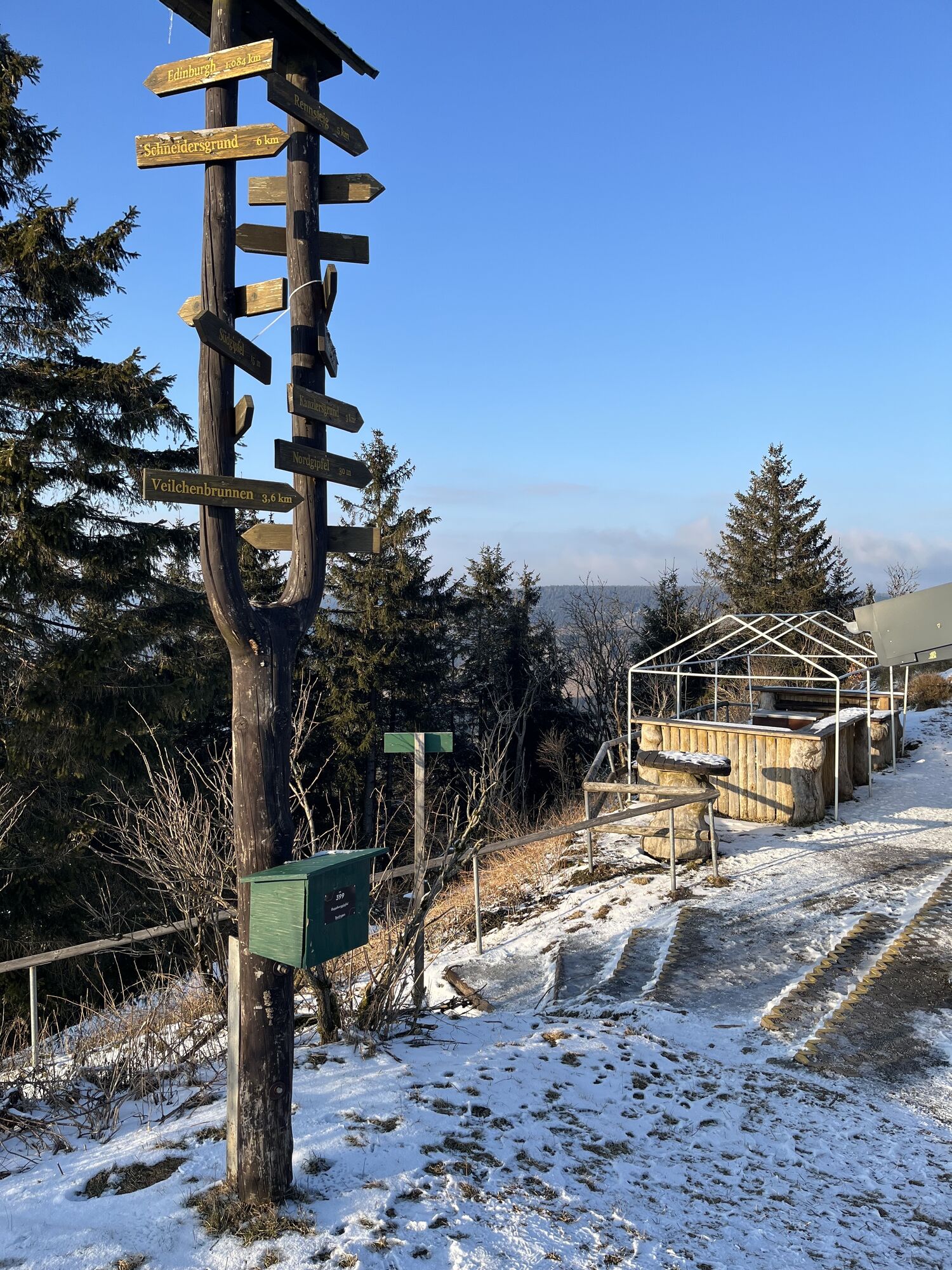
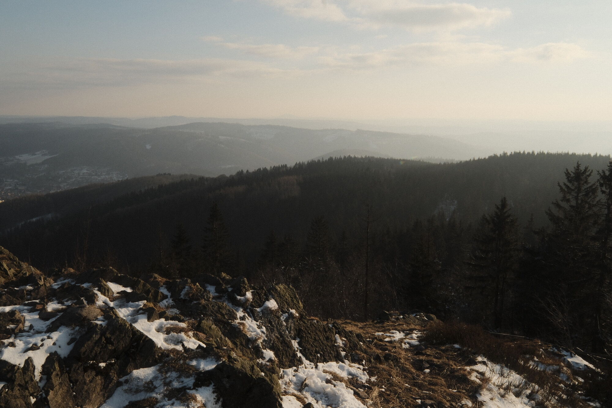
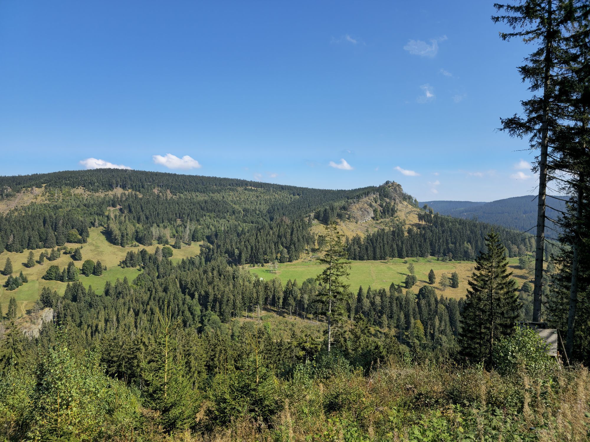
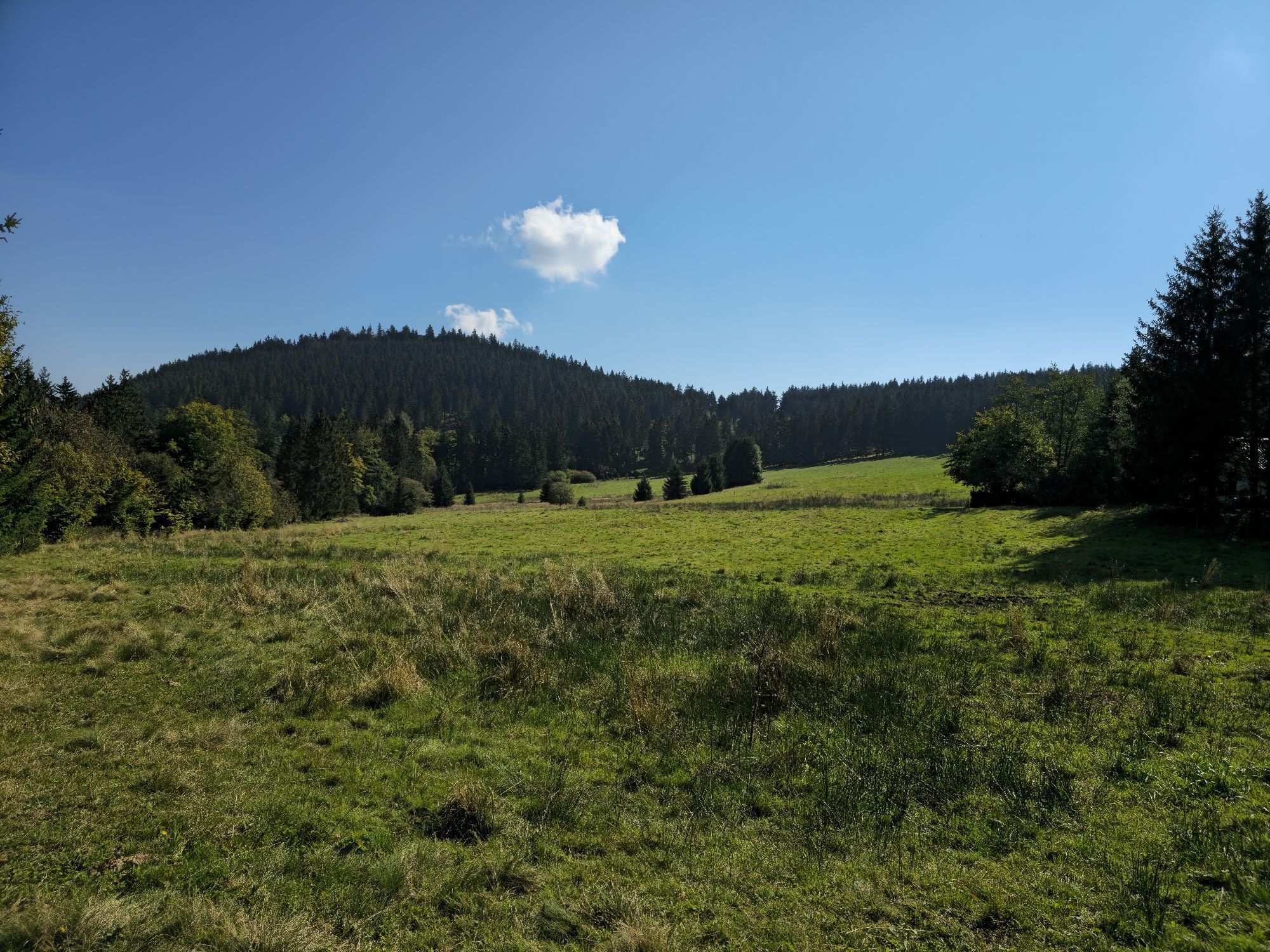
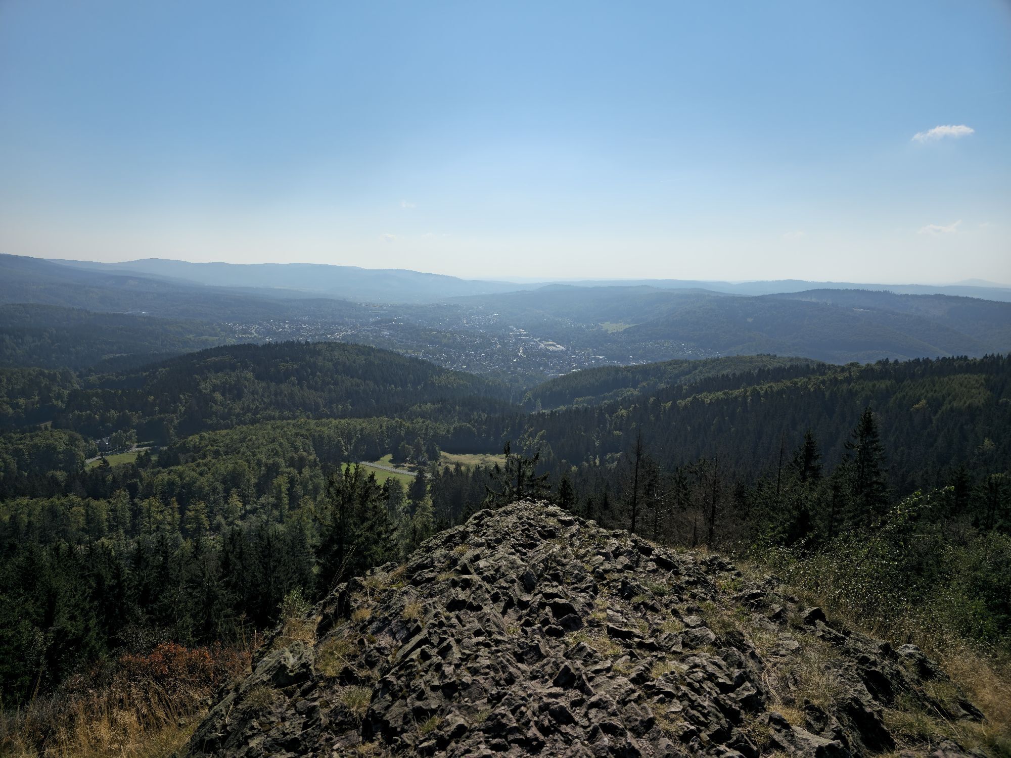
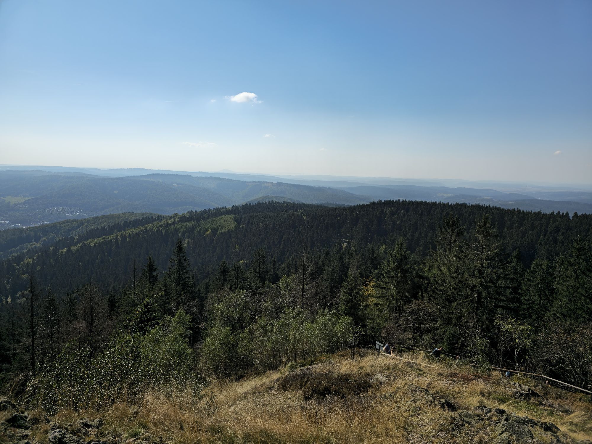
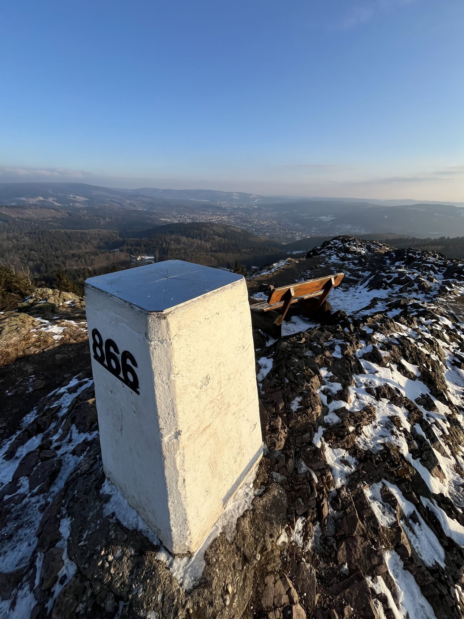
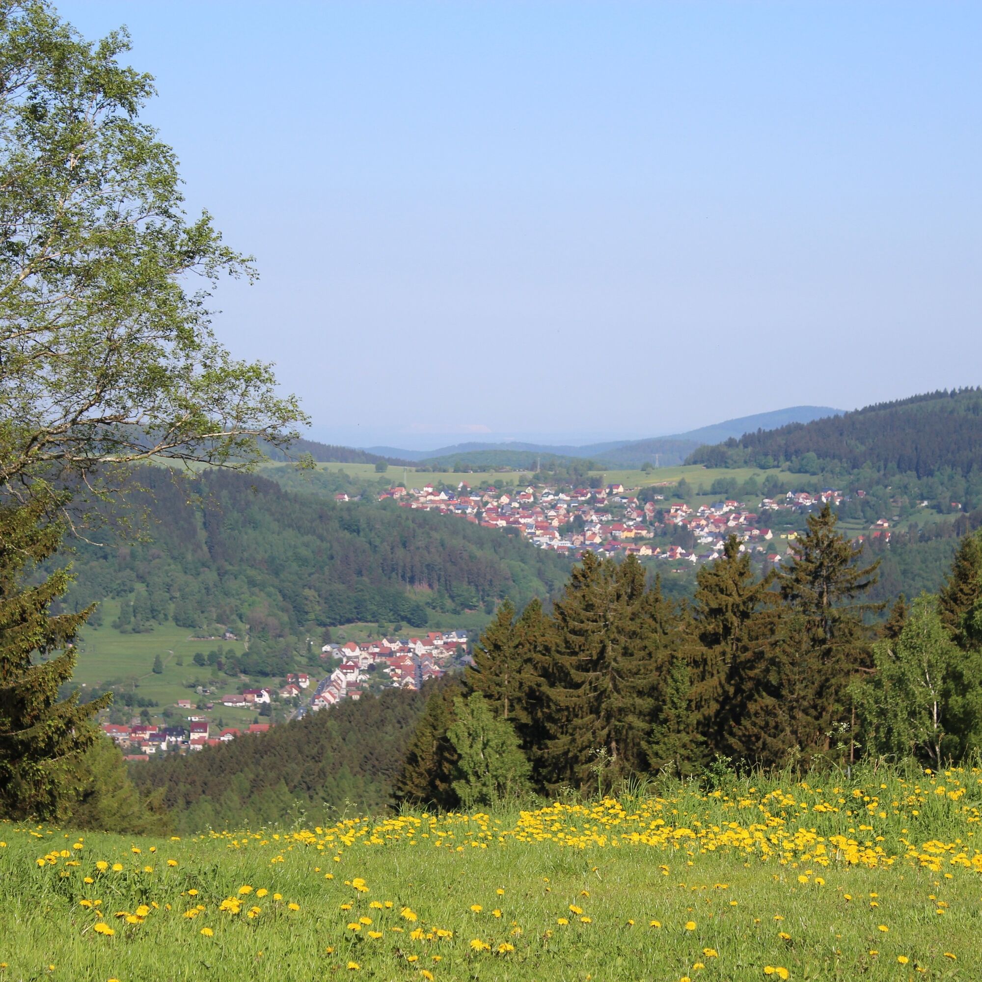
From the Knüllfeld ski and hiking area above the town of Steinbach-Hallenberg, the path leads you through a beautiful nature reserve meadow with rare orchid species (Ganswiese) toward Steinhauk and further to the Ruppberg. Passing the shelter and seating area at Rupprasen, the path goes straight over the meadow up to the Ruppberg. The ascent to the popular Ruppberg is definitely worthwhile. The Ruppberghütte offers an ideal place to rest with wonderful views (May to October on weekends). Returning to the junction, the circular route goes first left and then right around to Braukopfstein. From here, enjoy a nice view toward Zella-Mehlis. Continuing toward Knüllfeld, a detour around Steinhauk with refreshment at Kalter Brunnen is worth it.





Knüllfeld parking lot – Ganswiese – Steinhauk – Rupprasen – Ruppberg – Braukopfstein – Steinhauk – Brautwiese – Kalter Brunnen – Knüllfeld parking lot
Tak
Tak
Sturdy footwear
Rainwear
Drink supply
First aid kit
GPS navigation device or smartphone
Please behave considerately and quietly in the forest to protect flora and fauna. Follow instructions from forestry staff and observe restrictions due to forestry work.
In winter (November to March), the ascent to Ruppberg is not maintained and is unsafe due to slipping hazards. Enter at your own risk!
If arriving via the A71, use the Zella-Mehlis exit. Follow signs toward Schmalkalden/Steinbach-Hallenberg. After passing through Zella-Mehlis, continue toward Benshausen. At the roundabout, take the first exit toward Viernau. At the next junction, turn toward Bermbach and after passing the town, reach the junction to Knüllfeld.
Coming from Schmalkalden or Oberhof, turn left in the Herges-Hallenberg district toward Bermbach and follow the signs to Knüllfeld.
You can reach the area by bus lines of the MBB to the stop "Bermbach, junction Knüllfeld." From here, it's about a 15-minute walk to Knüllfeld.
When arriving by German rail to Steinbach-Hallenberg or Zella-Mehlis, use bus line 449 of the MBB heading toward Bermbach, stop "junction Knüllfeld."
Parking is possible at the Knüllfeld parking lot (Google nav point).
After your hike, stop at the Knüllfeld guesthouse.
 Uzyskaj wgląd Zawsze na żywo z ponad 9 500 kamer internetowych. bergfex Jako użytkownik Pro, możesz teraz zobaczyć odpowiednie kamery internetowe dla wielu wycieczek w aplikacji wycieczki od. Pozwala to na bezpośredni podgląd aktualnych warunków.
 Popularne wycieczki w okolicy
- 4,2
Rund um die Ohratalsperre
światłoWędrówka 14,5 km - 4,4
Circular hike "Old Tambach Dam", Tambach-D., Thuringian Forest
średniWędrówka 8,33 km - 3,8
Wanderung zum Spitterfall
średniWędrówka 14,6 km - 4,8
Circular hike - Schmalwasser reservoir - Tambach-Dietharz - Thuringian Forest
średniWędrówka 13,8 km - 4,0
Zu den Schanzen im Kanzlersgrund
średniWędrówka 9,58 km - 4,0
Circular hiking route "Oberschönauer Felsenwanderung" - Steinbach-Hallenberg - Thuringian Forest
ciężkiWędrówka 12,0 km - 5,0
Hiking - Summit hiking trail - Suhl-Goldlauter - Thuringian Forest
ciężkiWędrówka 32,1 km - 4,5
Hike over the Rennsteig & the Schneekopf to the Schmücke
ciężkiWędrówka 20,9 km - 5,0
Circular hike to Bärenstein & Pfanntalsteich
średniWędrówka 9,10 km - 5,0
Circular Hiking Route - Lütsche-Flößgraben - Thuringian Forest
ciężkiWędrówka 13,8 km
Wędrówki i tropienie


Nie przegap ofert i inspiracji na następne wakacje
Twój adres e-mail została dodana do listy mailingowej.





