






Hike over the Rennsteig & the Schneekopf to the Schmücke
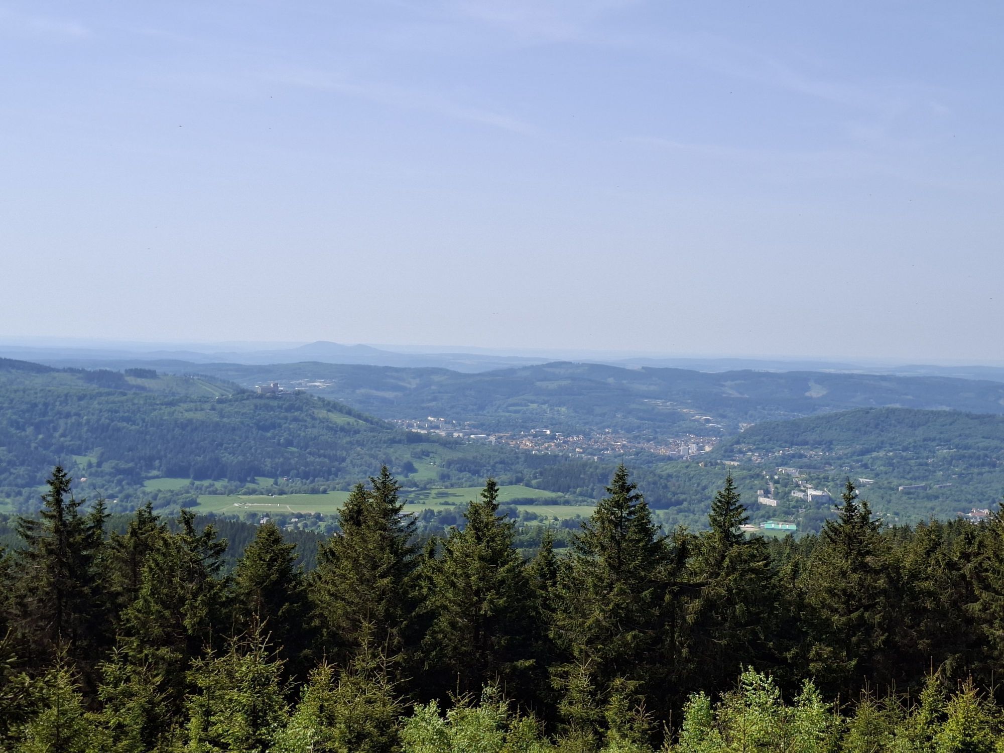
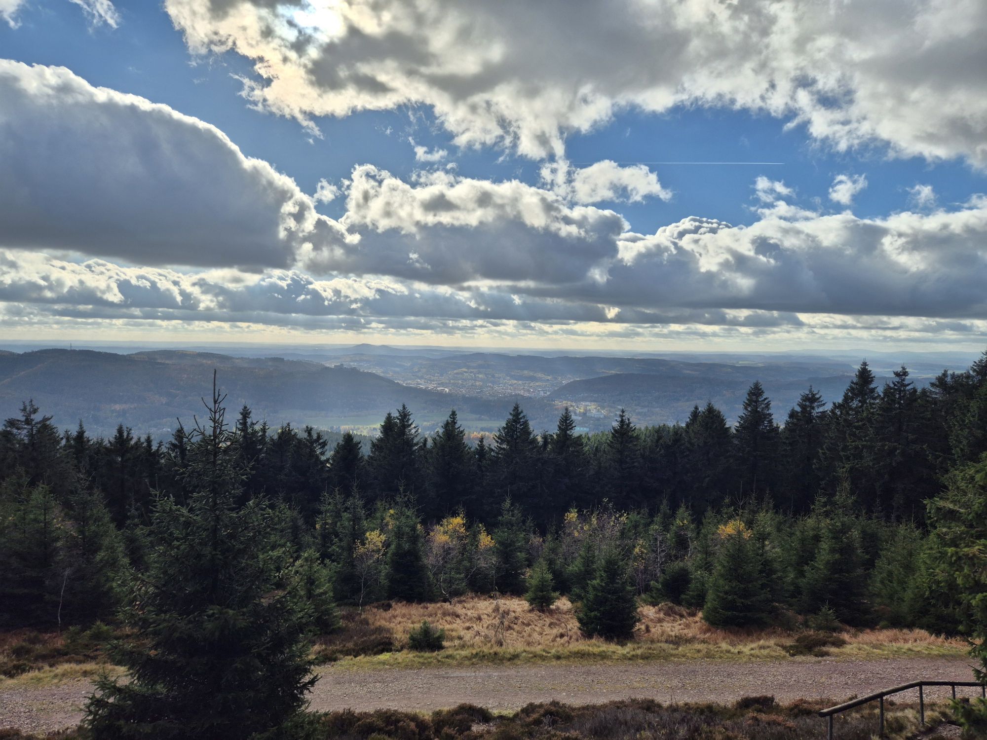
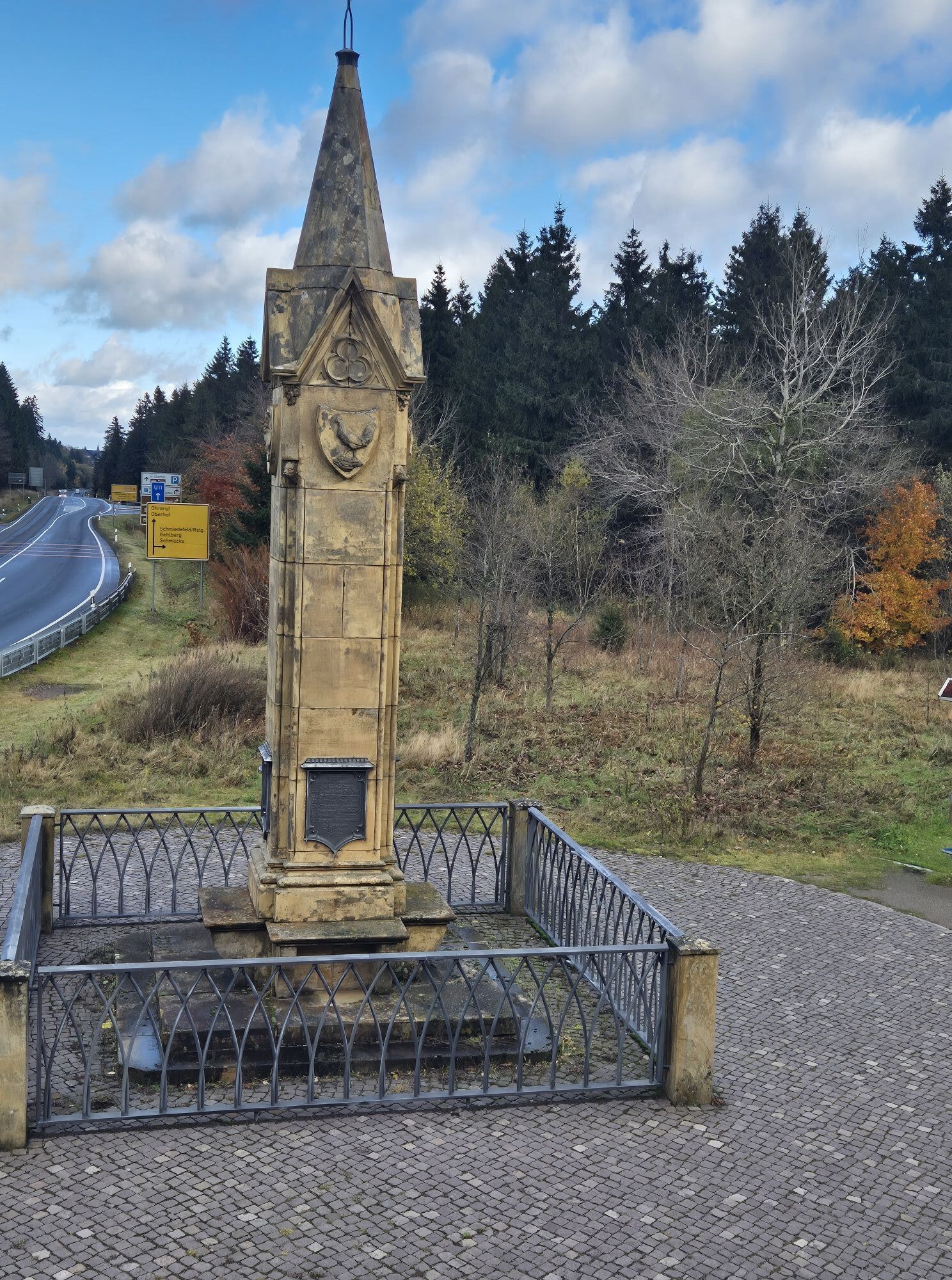
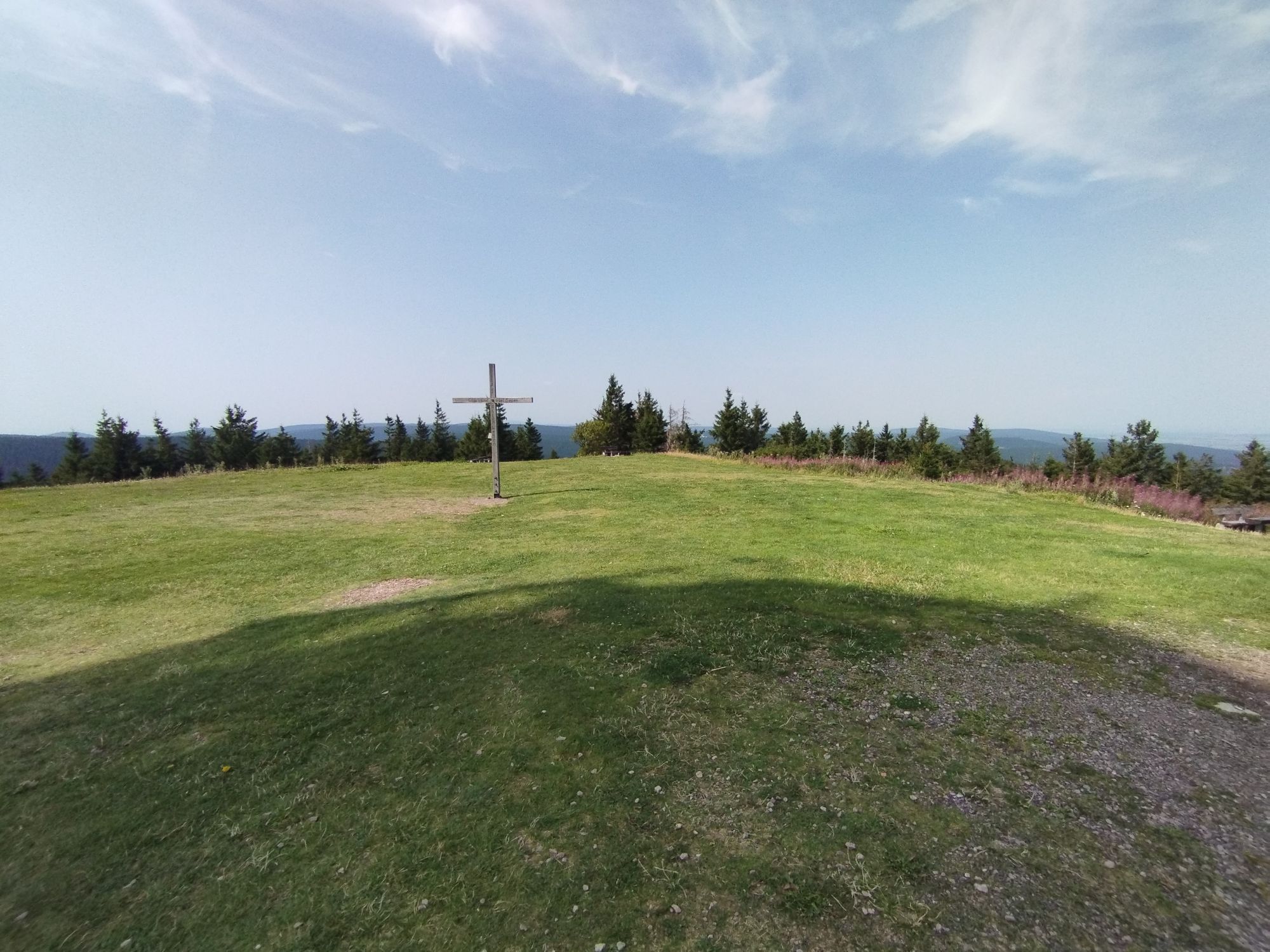

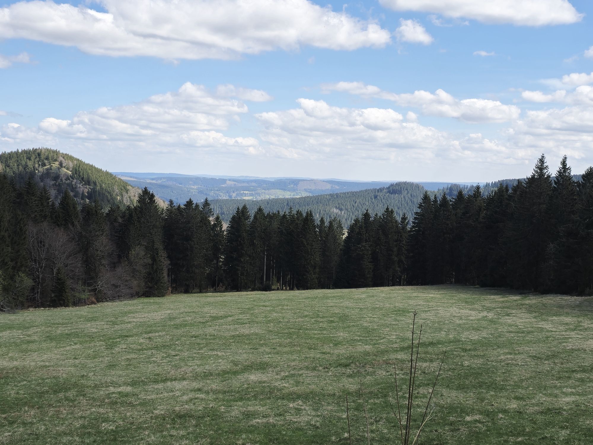
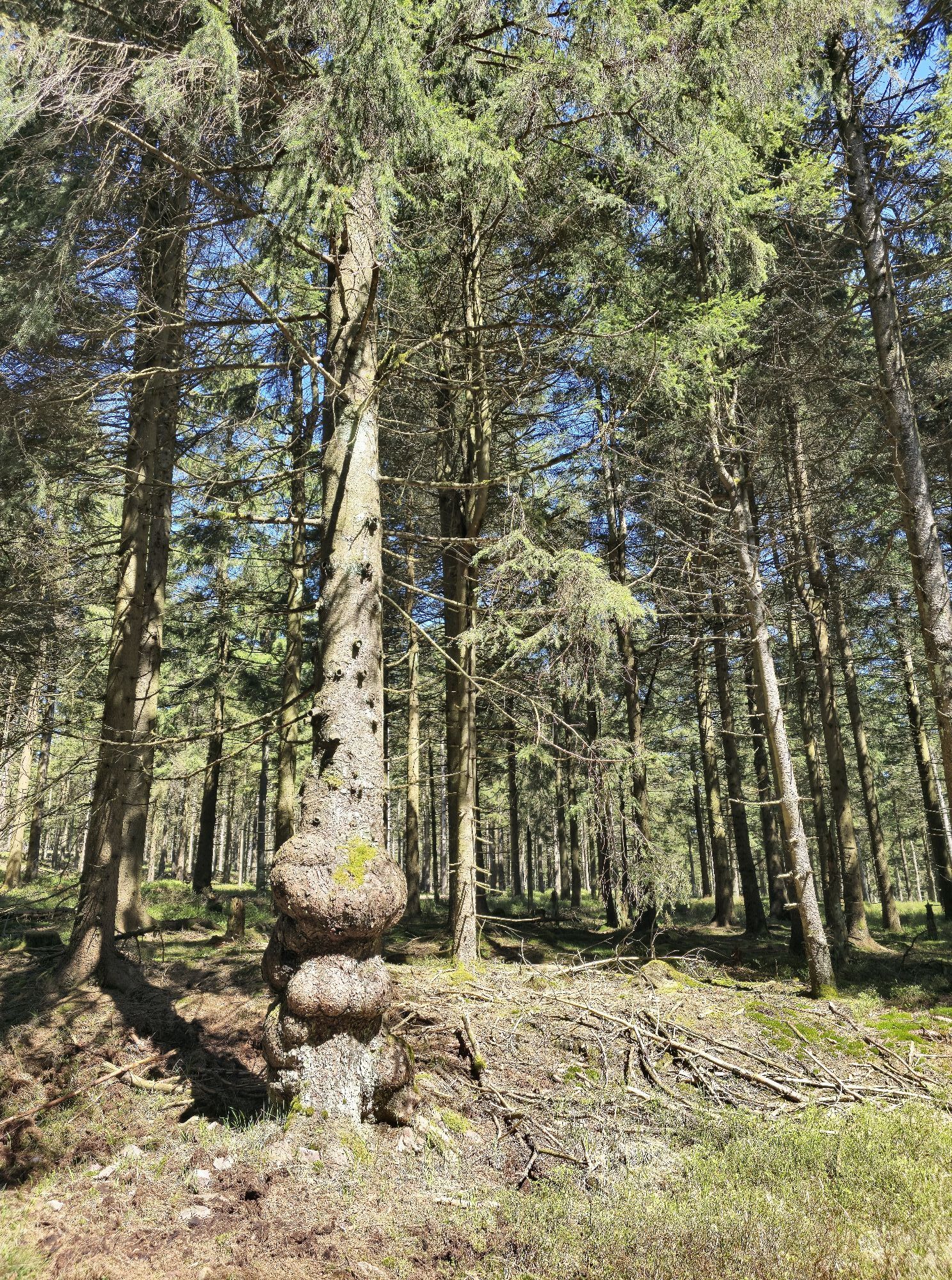
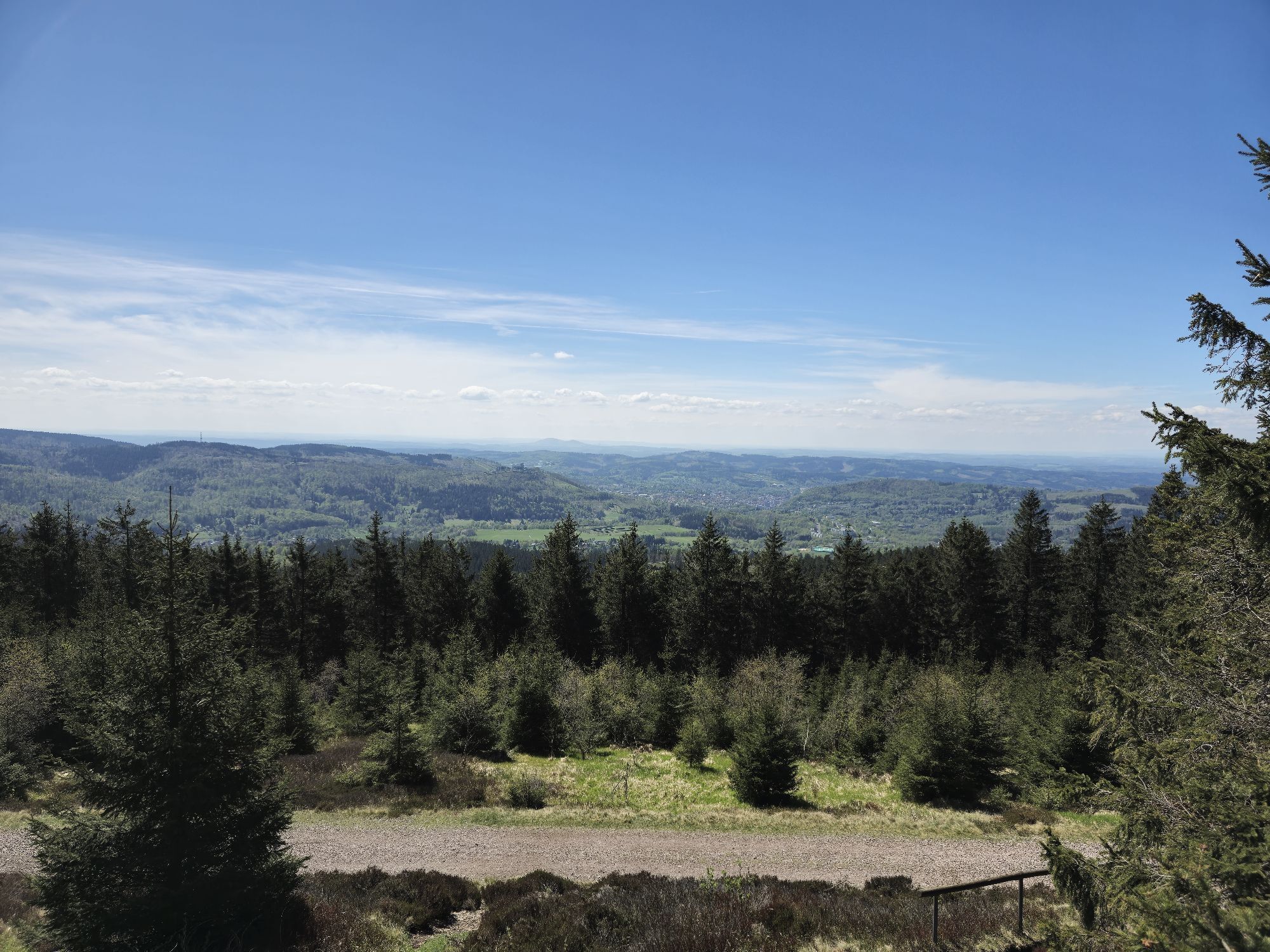
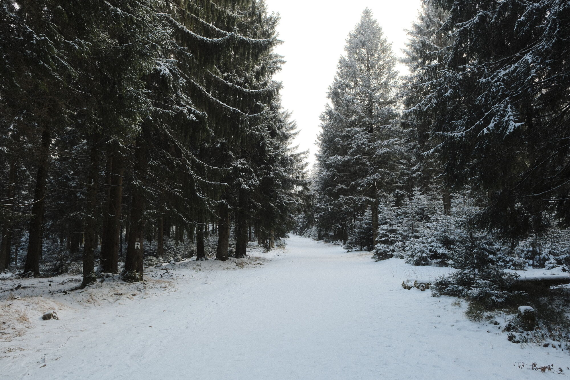
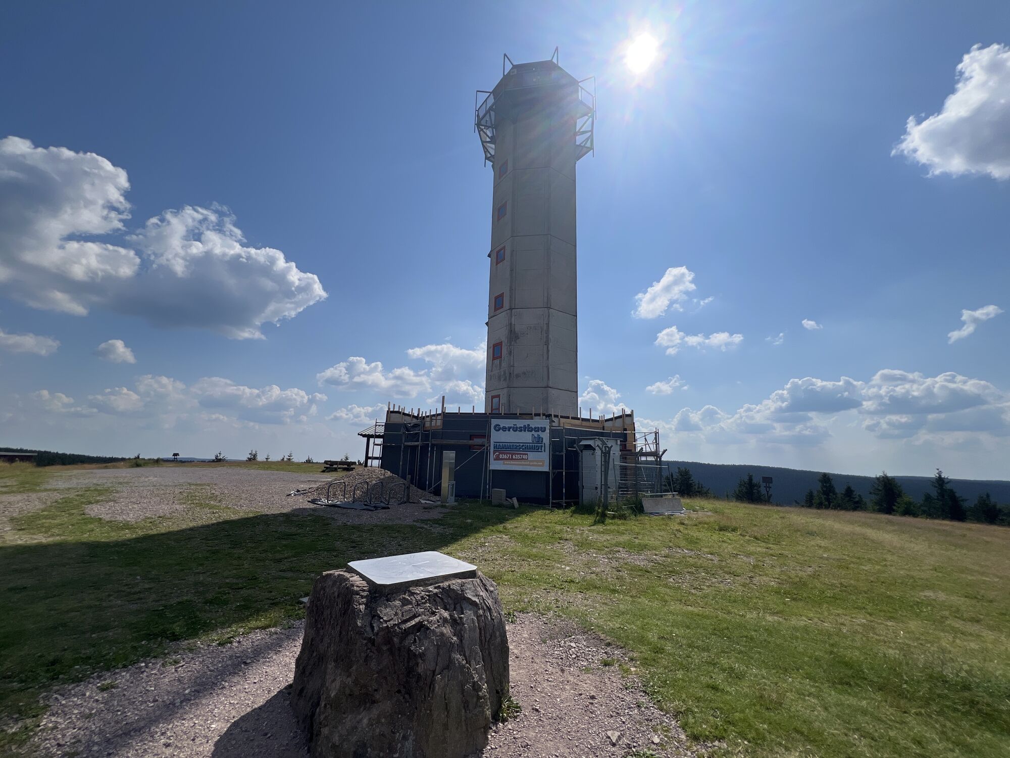
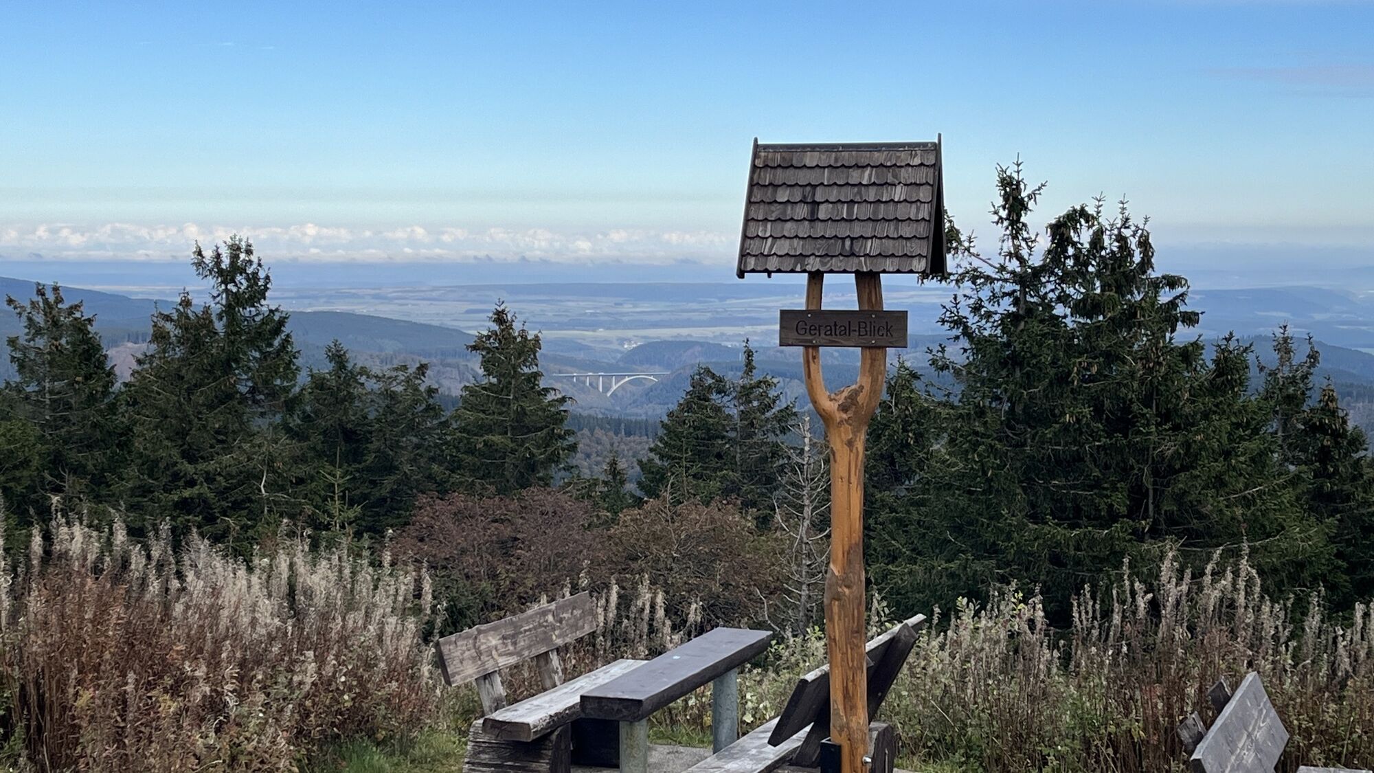
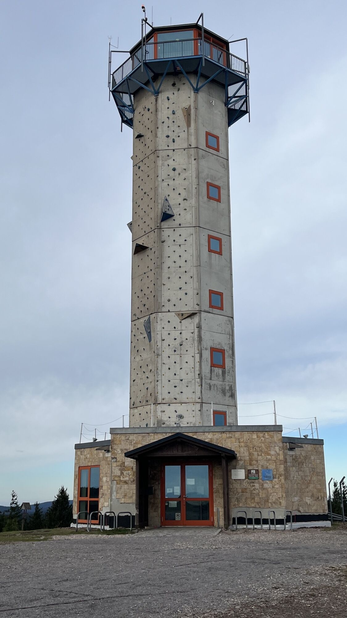
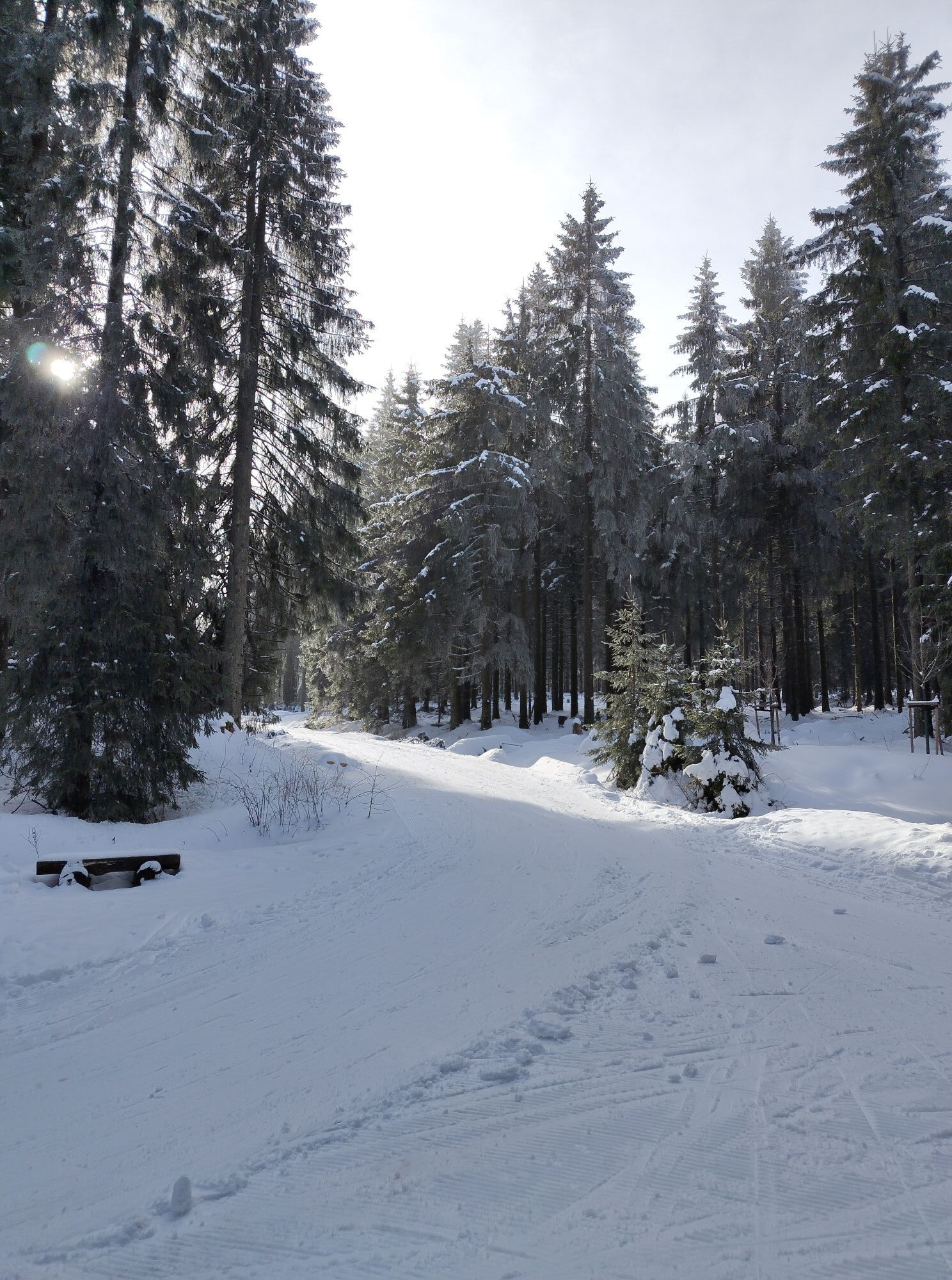
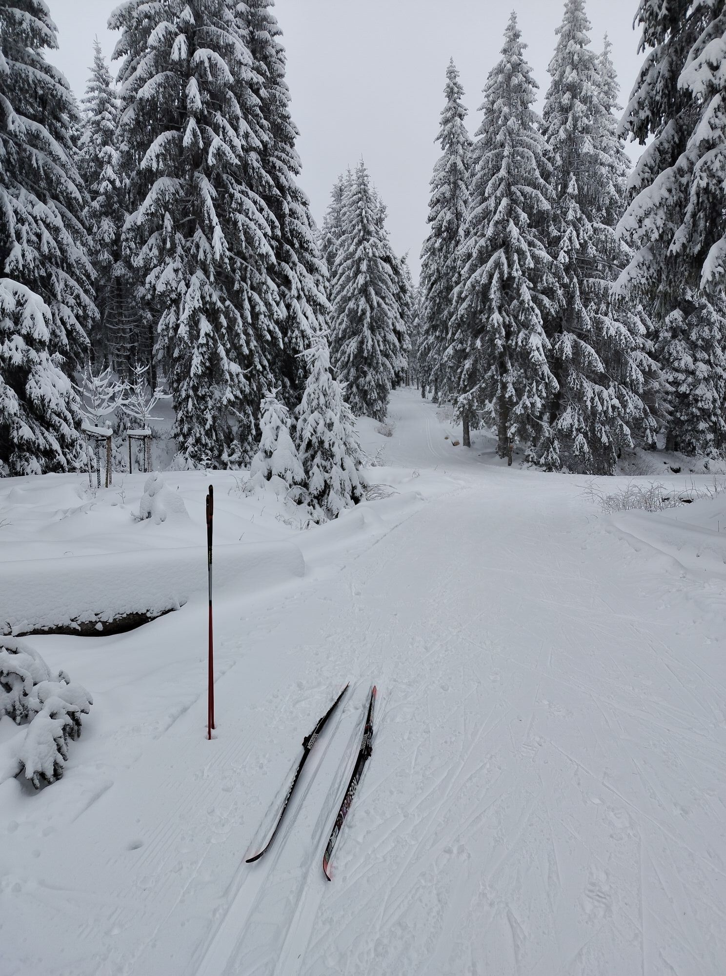
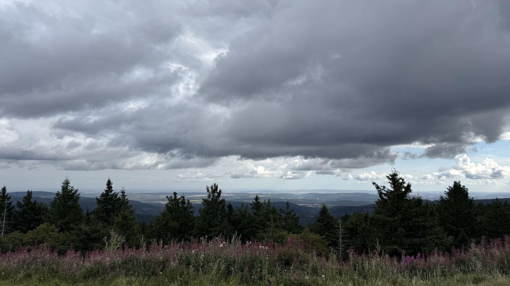
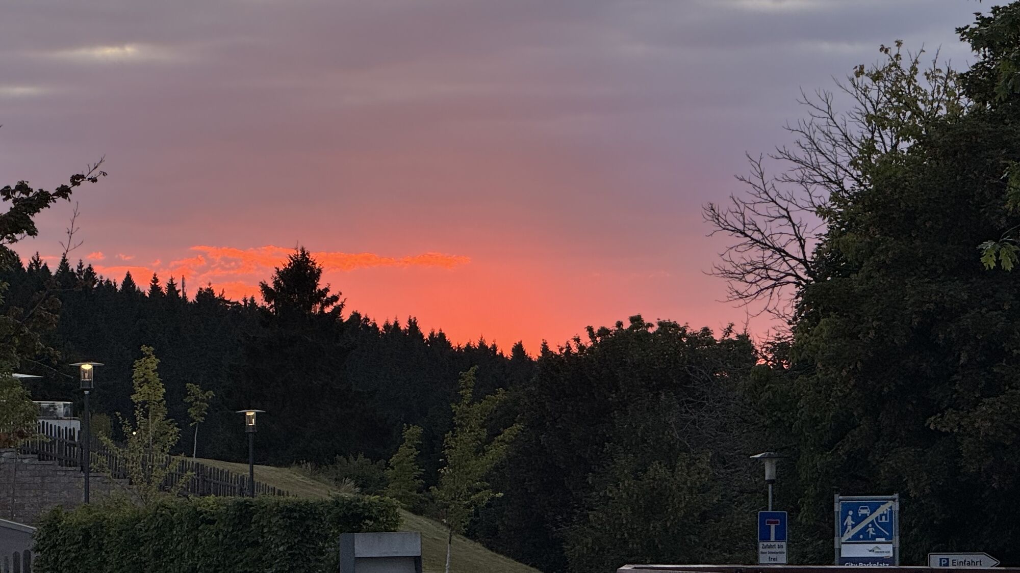

This hike is among the most popular hikes of Oberhof guests. A challenge, but not an overexertion, also suitable for families with older children. Easy to walk with regular rest stops. The Schneekopf is...
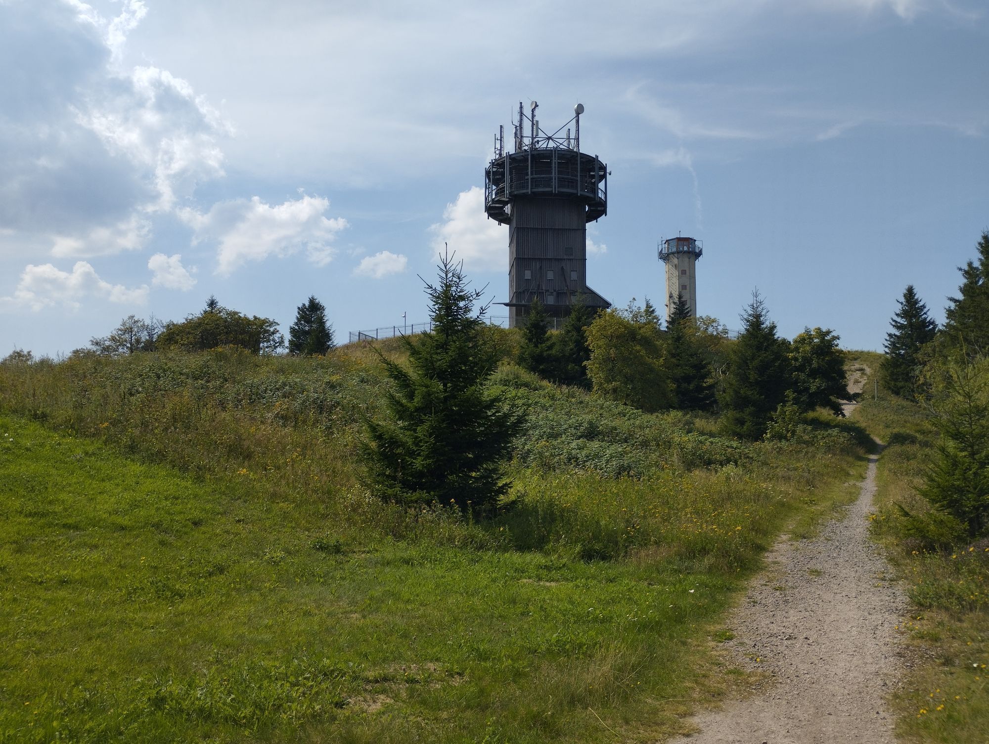
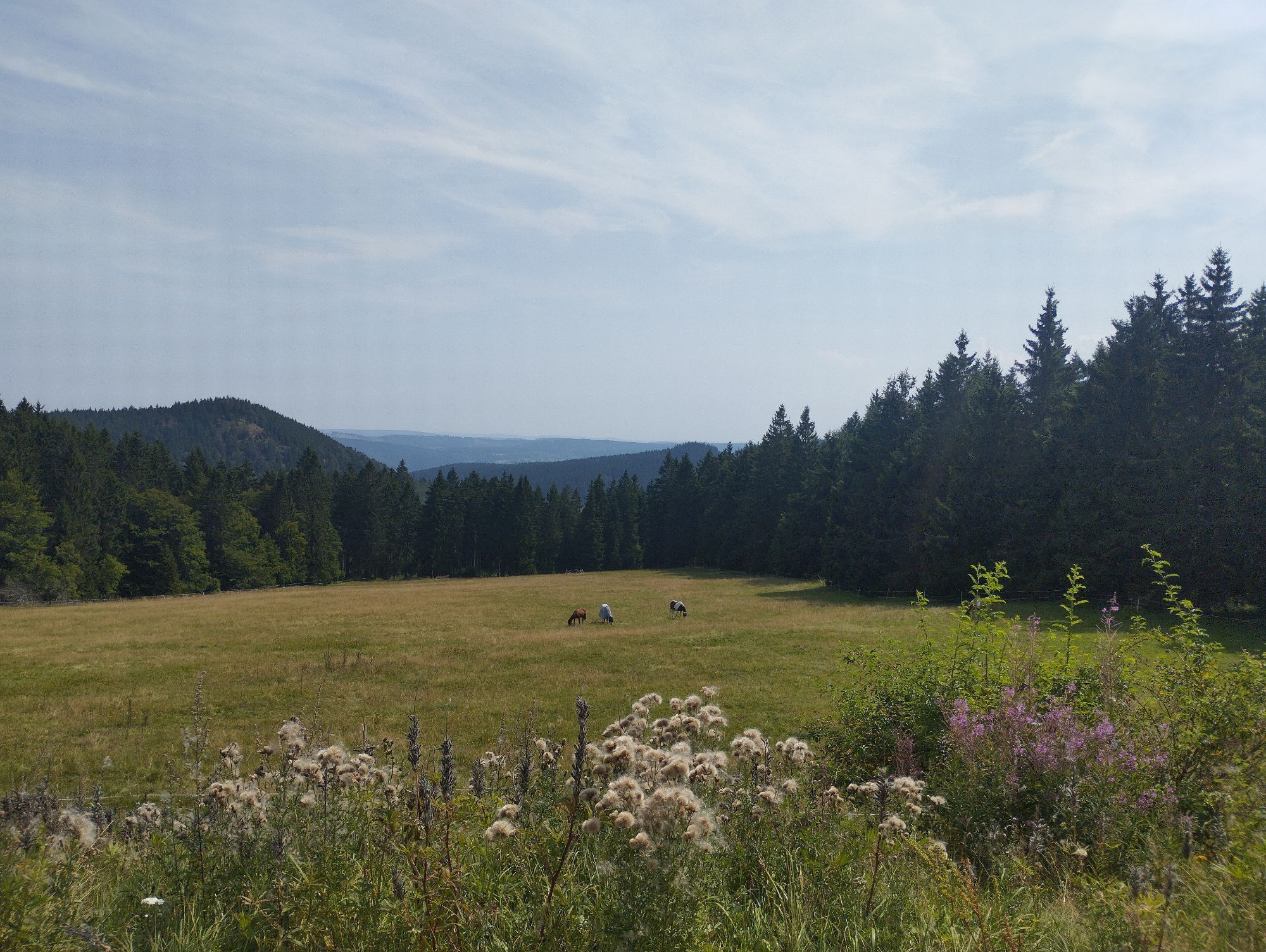
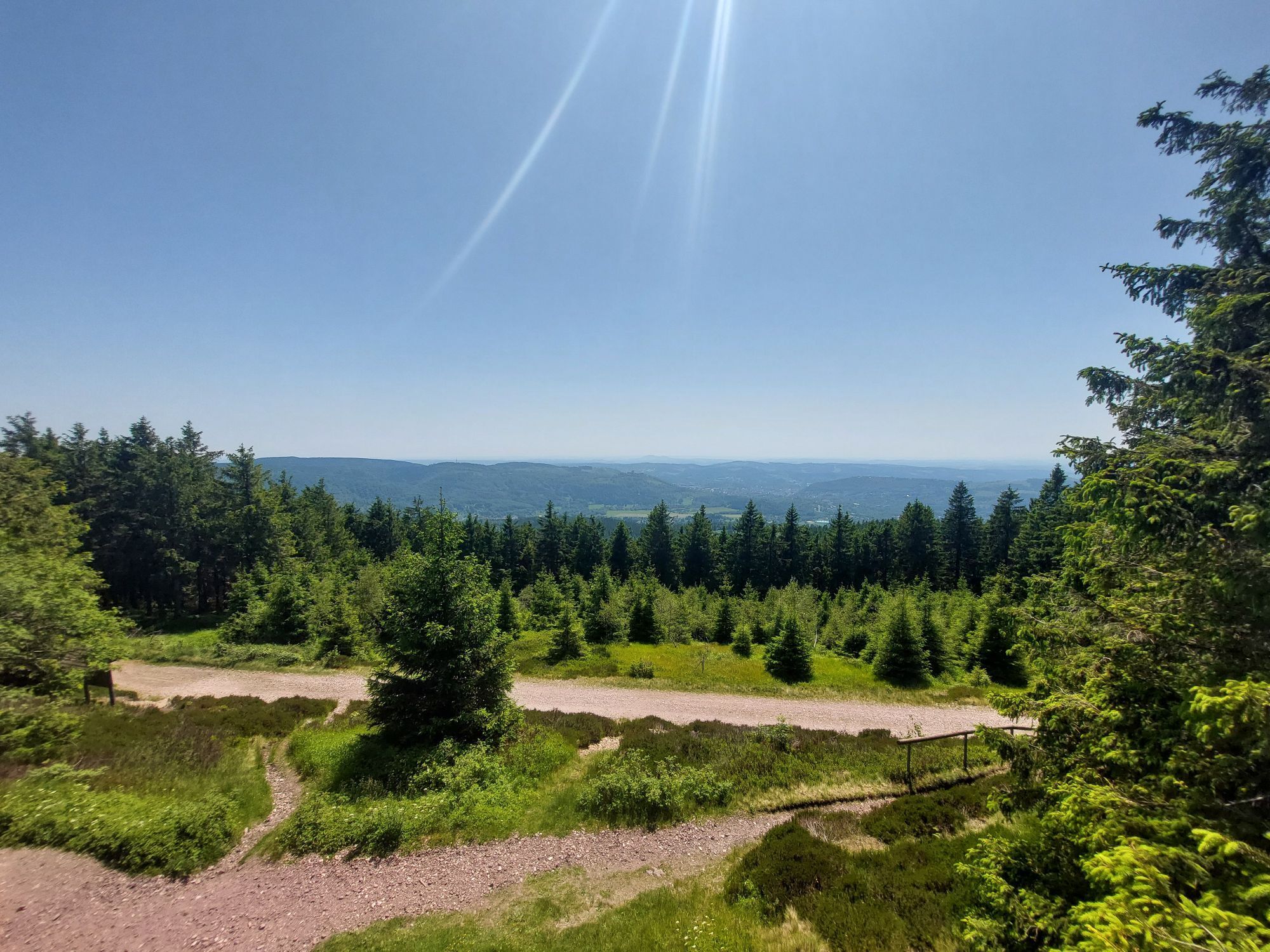
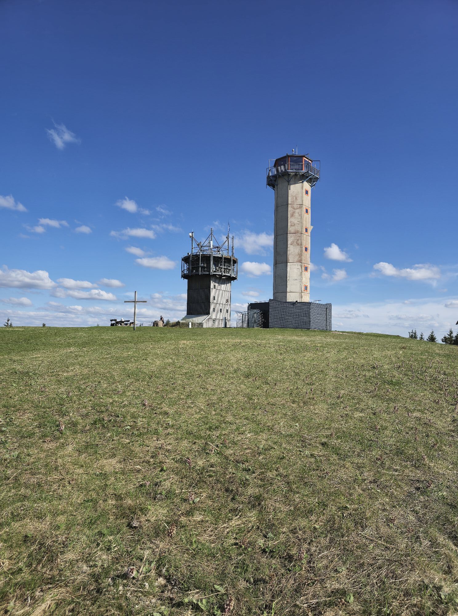
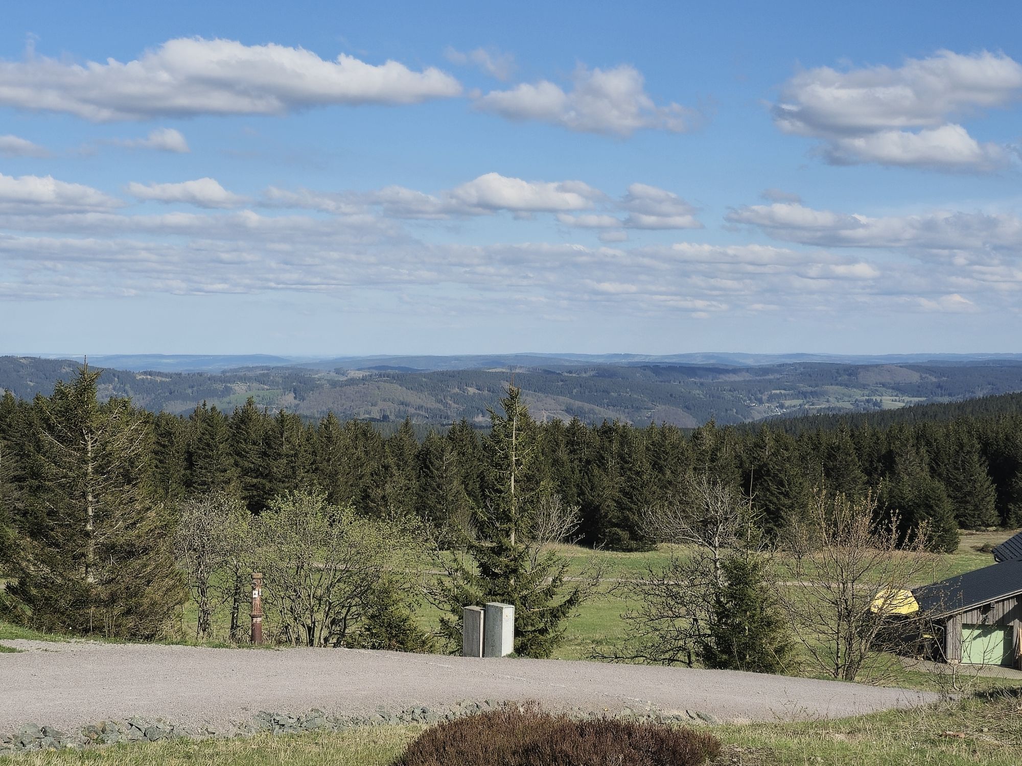
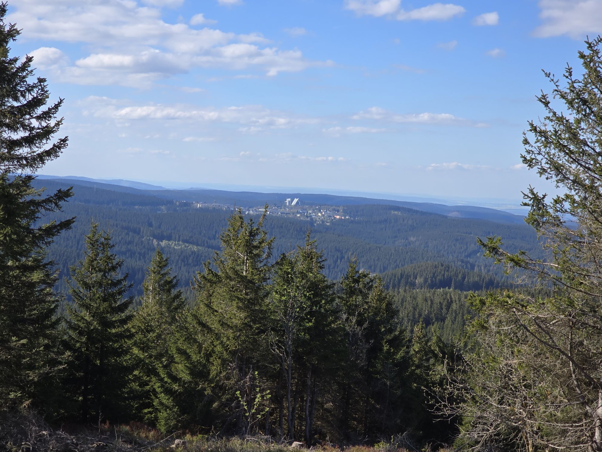
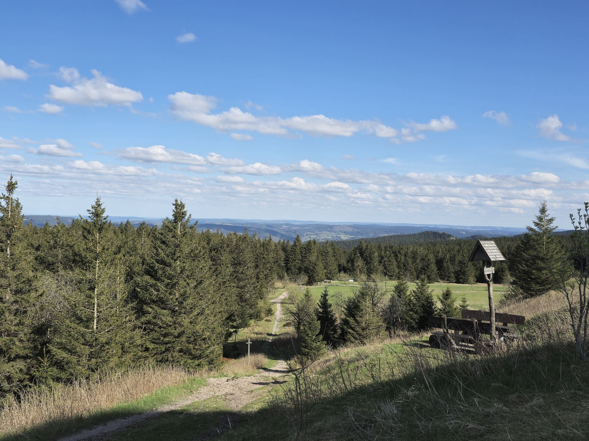
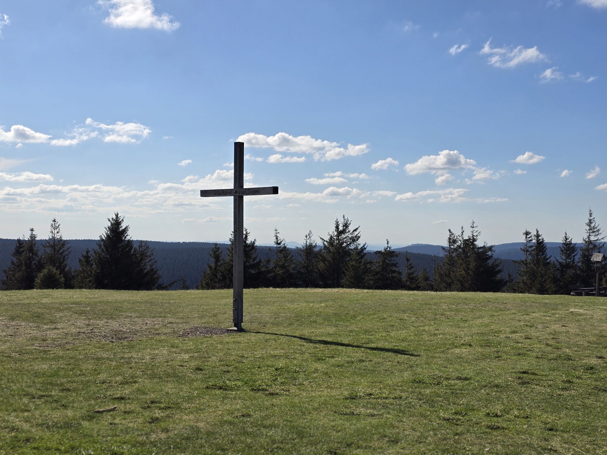
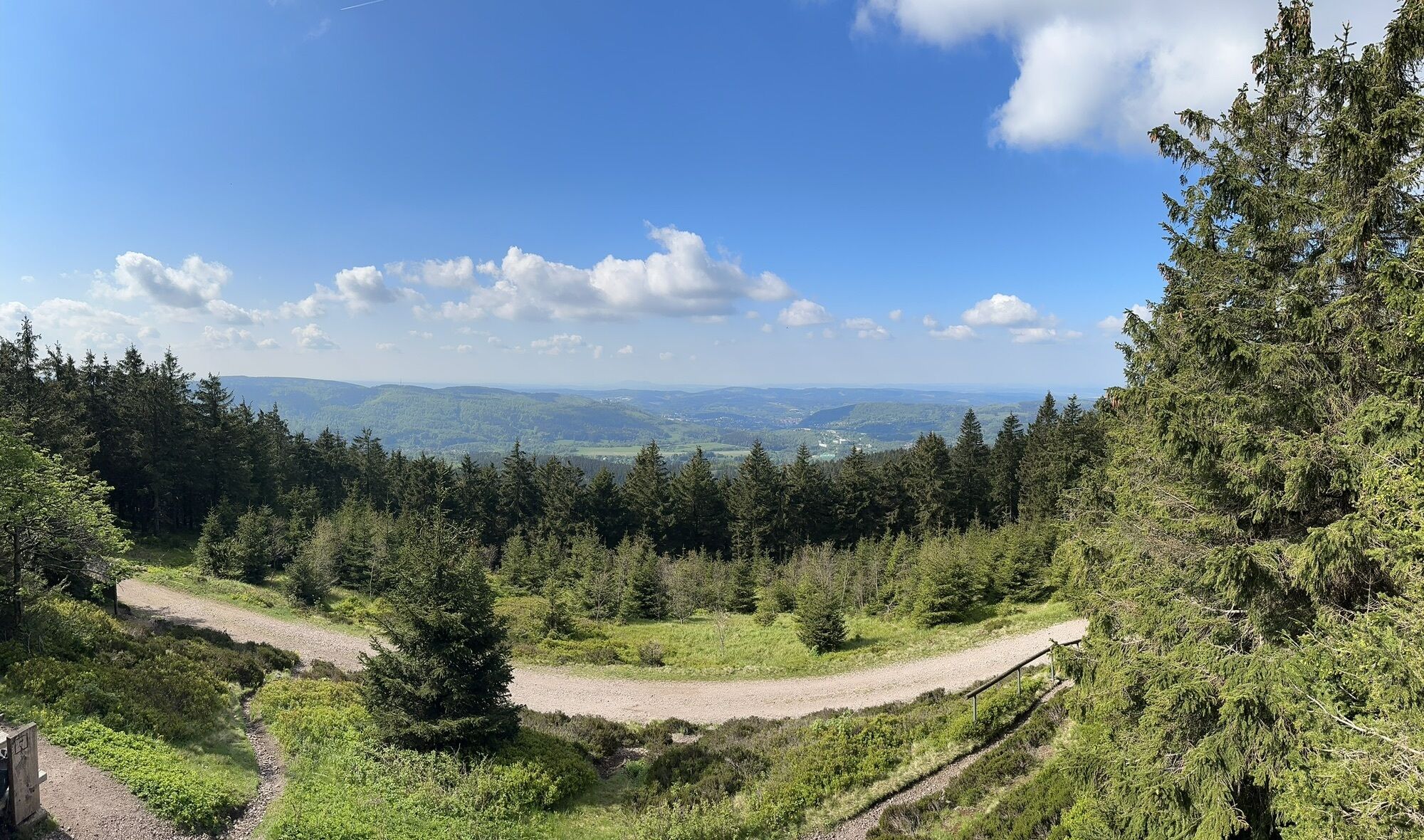
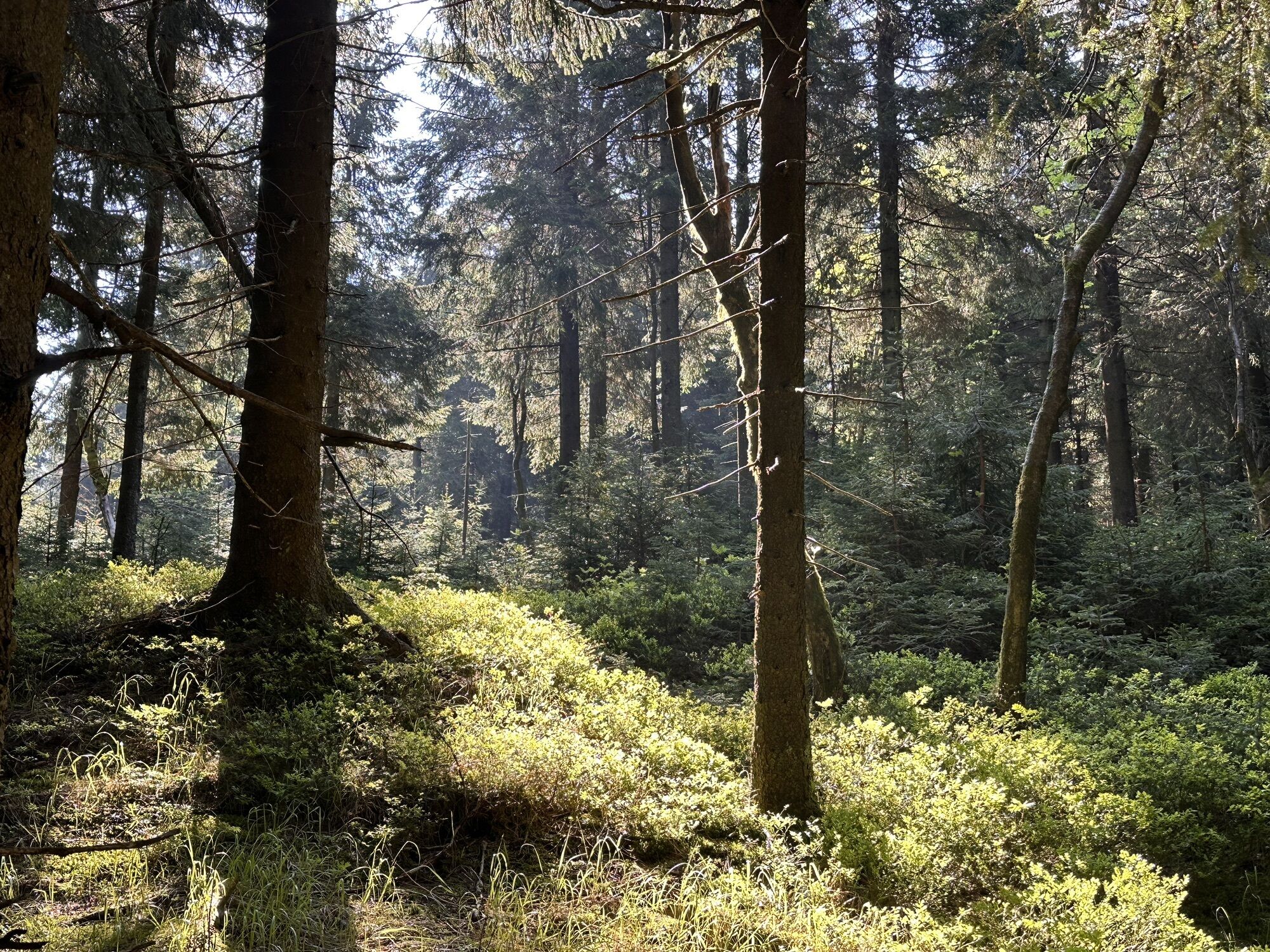
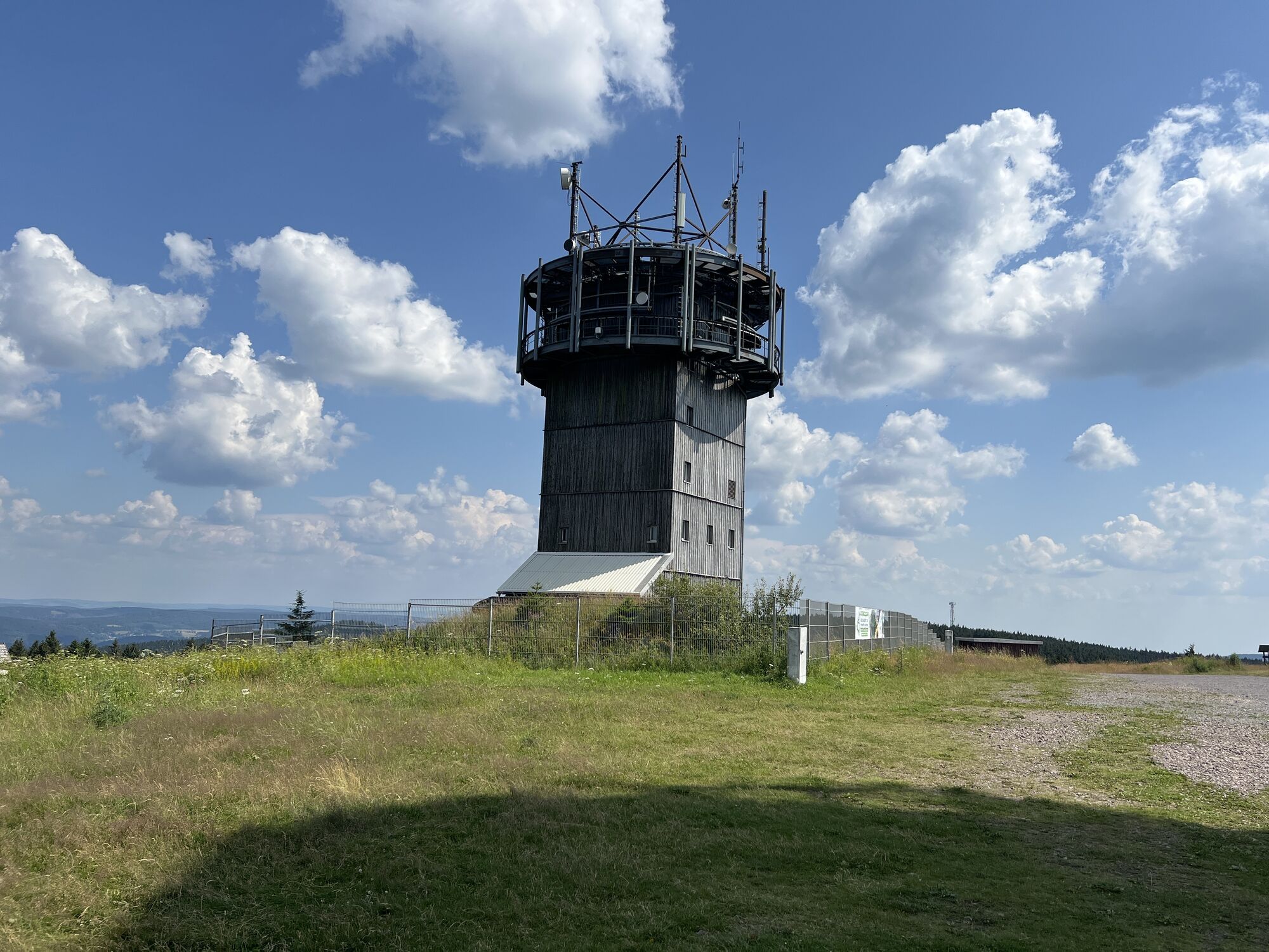
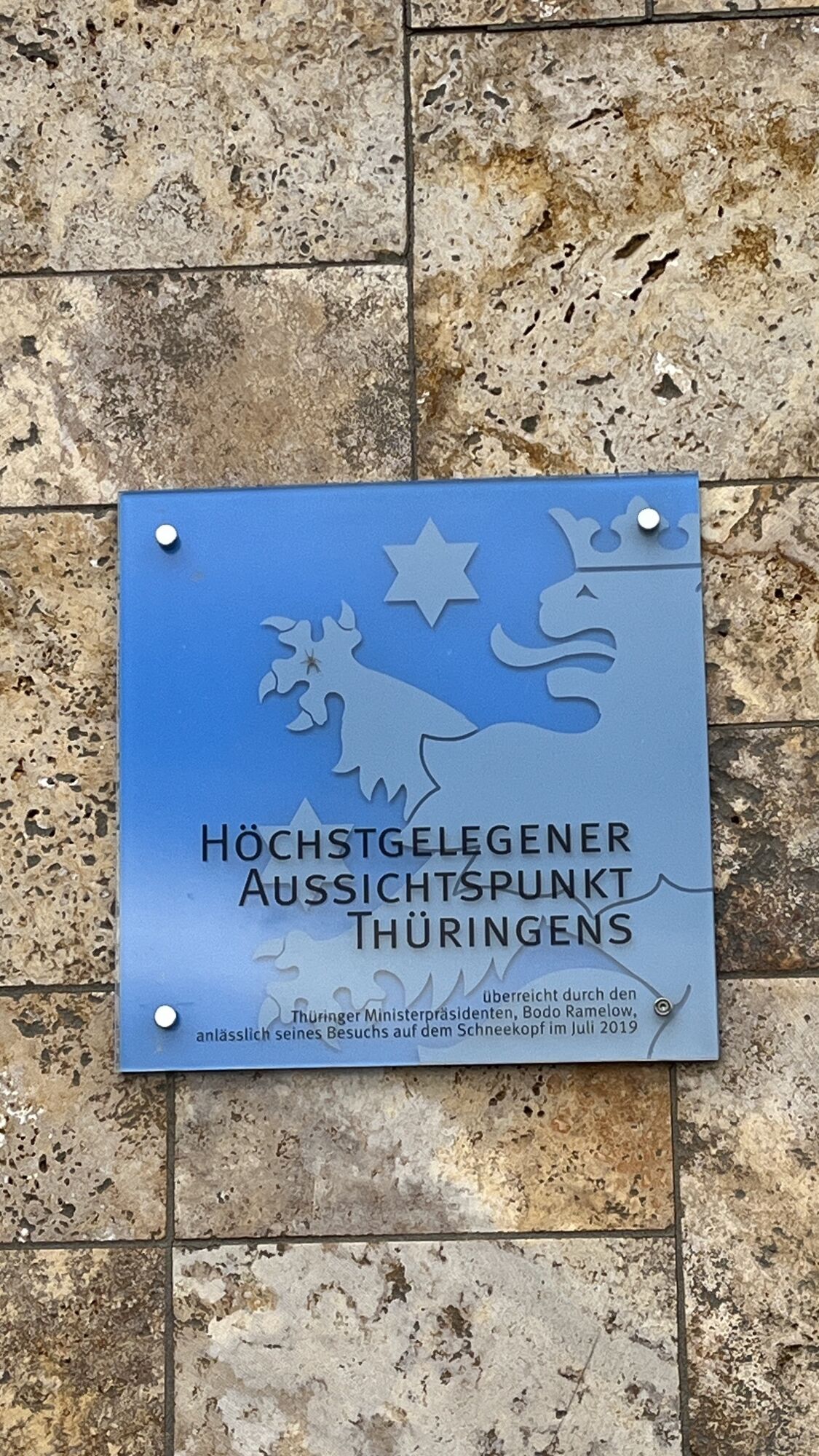
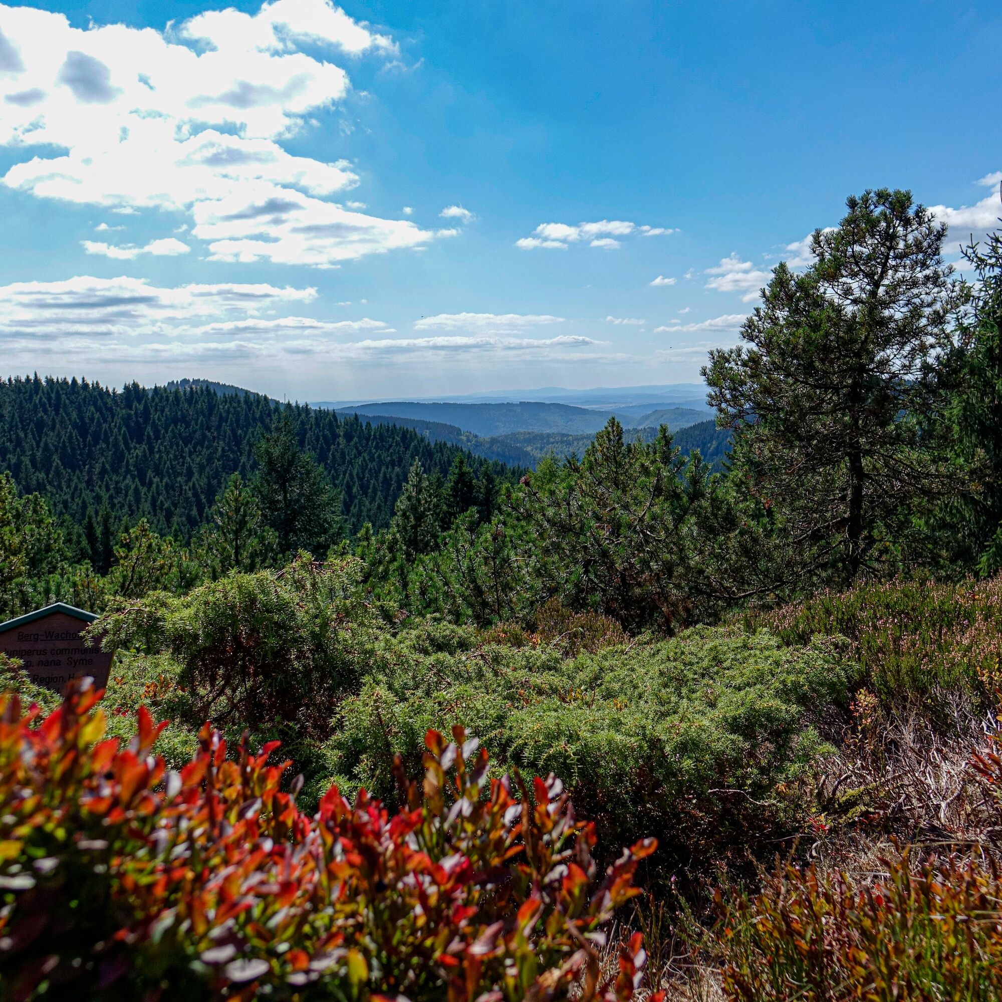
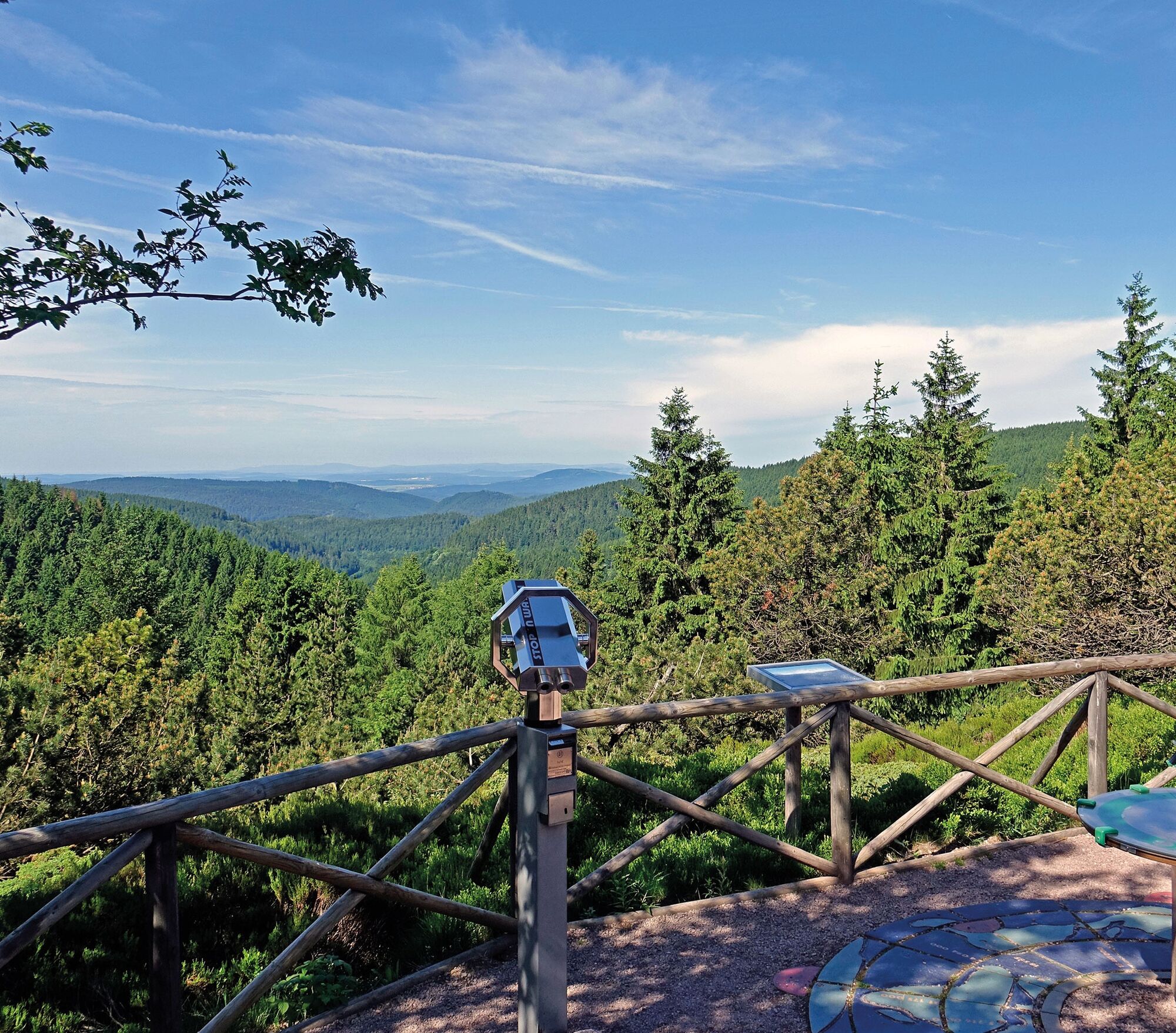
This hike is among the most popular hikes of Oberhof guests. A challenge, but not an overexertion, also suitable for families with older children. Easy to walk with regular rest stops. The Schneekopf is the second highest mountain in Thuringia. It impresses with a magnificent panoramic view over the Thuringian Forest and offers a special highlight with the climbing tower on Schneekopf. Very charming are also the sunrises and sunsets with wonderful long-distance views. The Schneekopf is also part of the summit hike, starting from Suhl, a demanding hike that connects the seven nine-hundreds on the ridge of the Thuringian Forest.
The Schmücke forms the "turning point" of the hike, here you start the return to Oberhof. This leads you back on the Rennsteig to the winter sports mecca of the Thuringian Forest. Another stop is worth it at the Sattelbach forestry house.

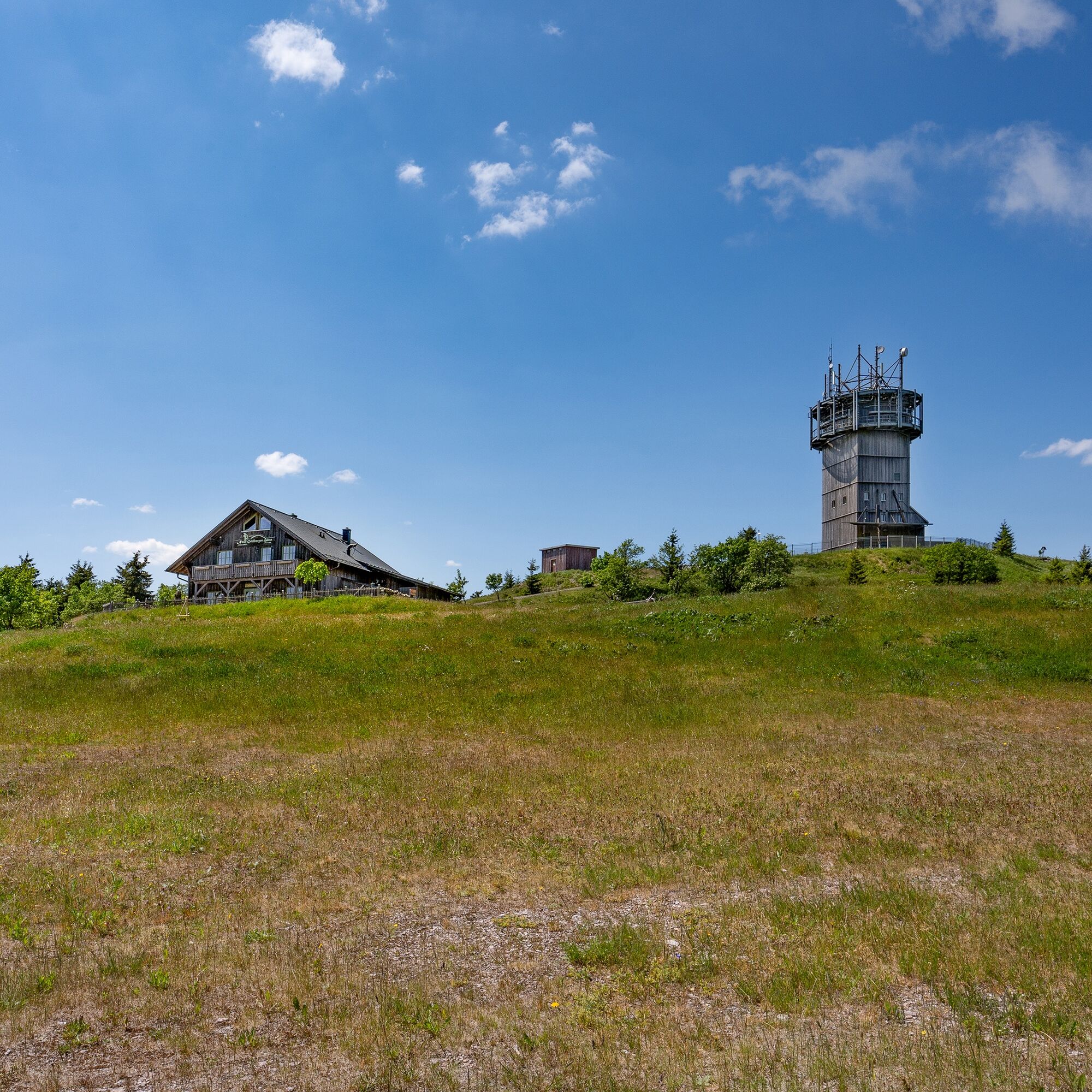
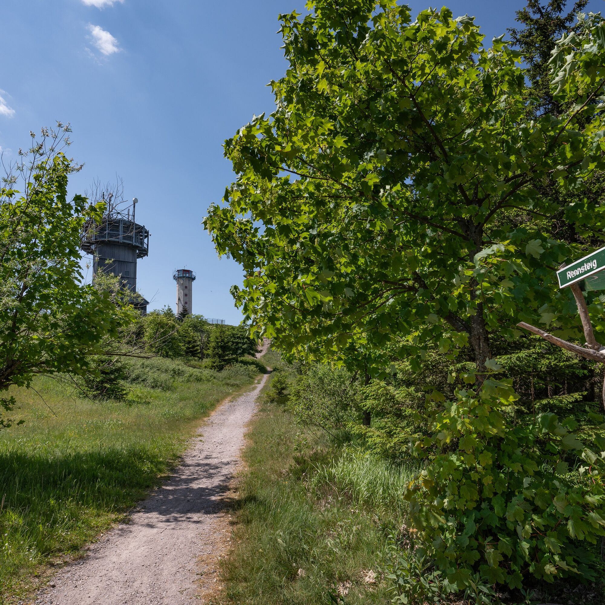

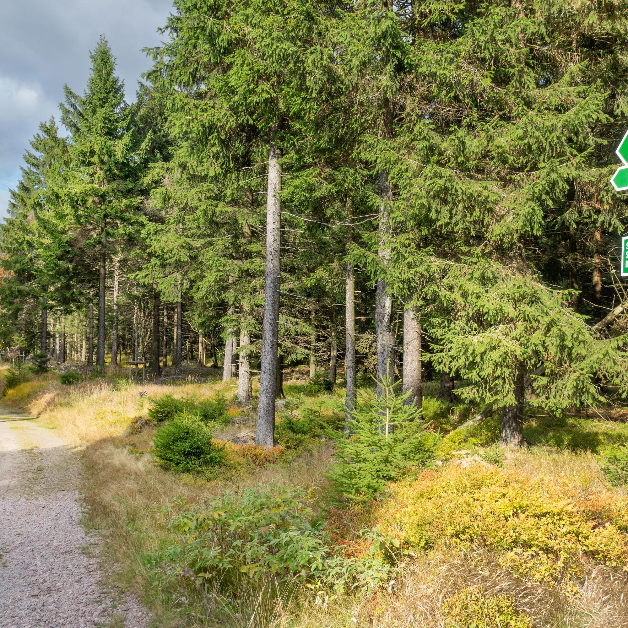
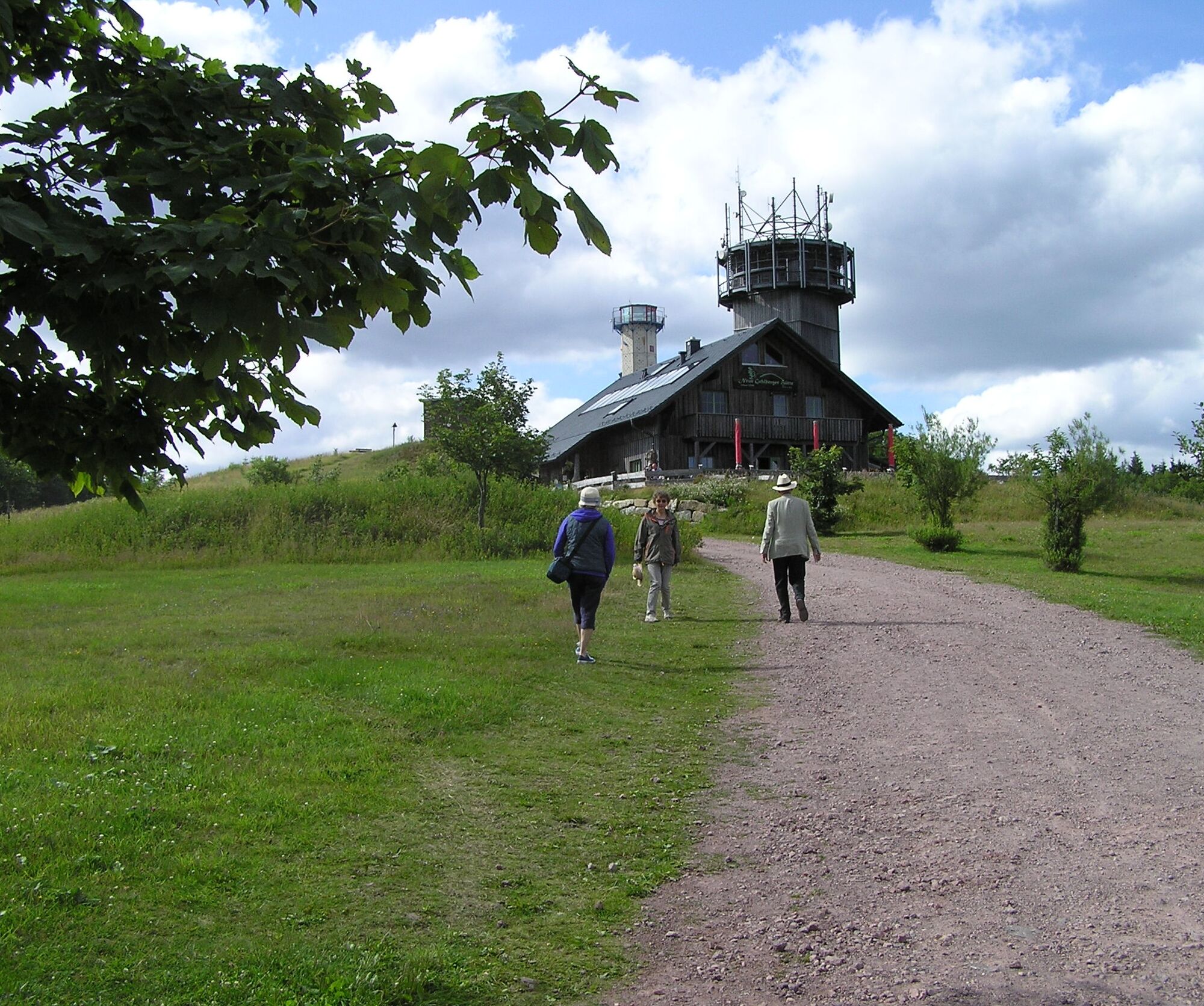
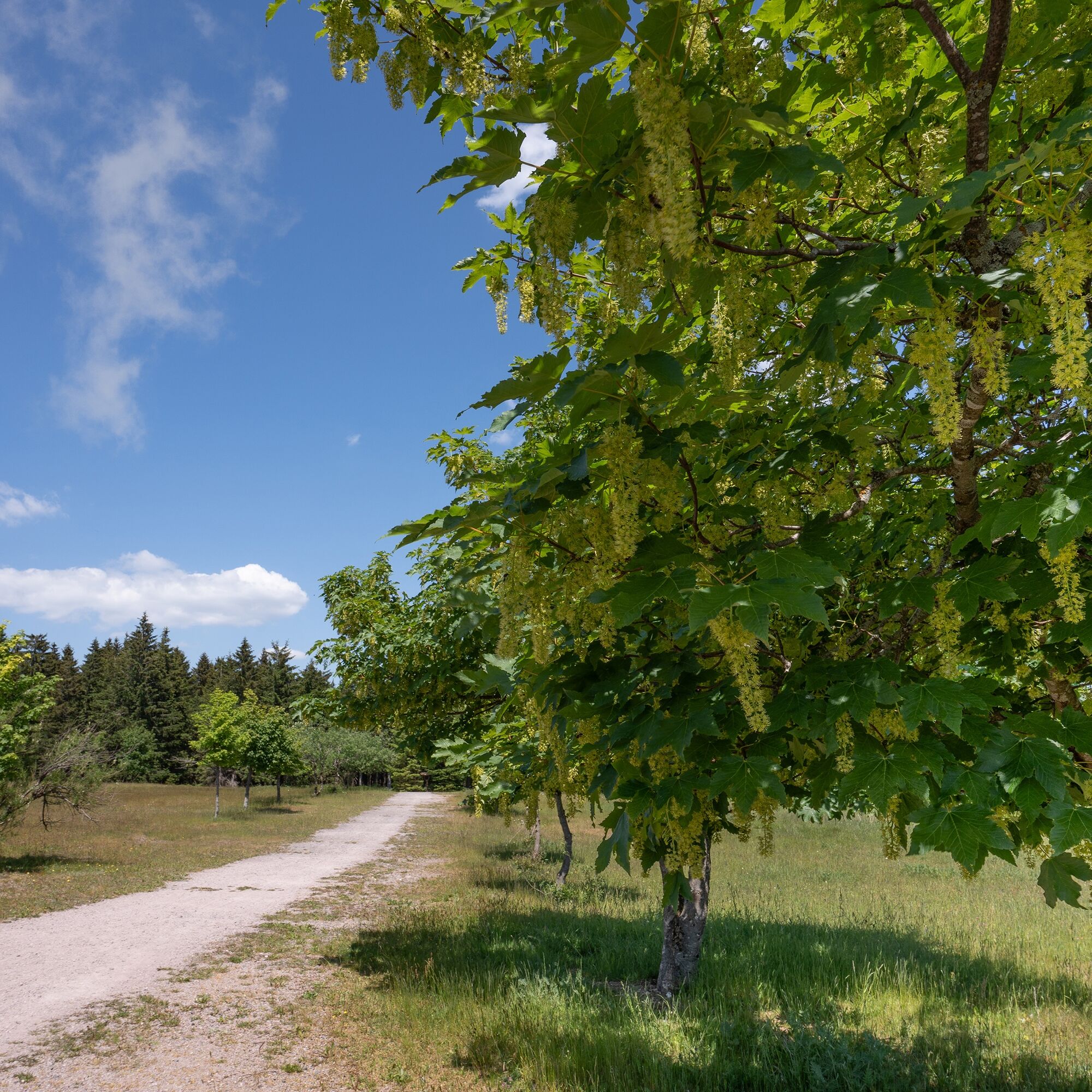
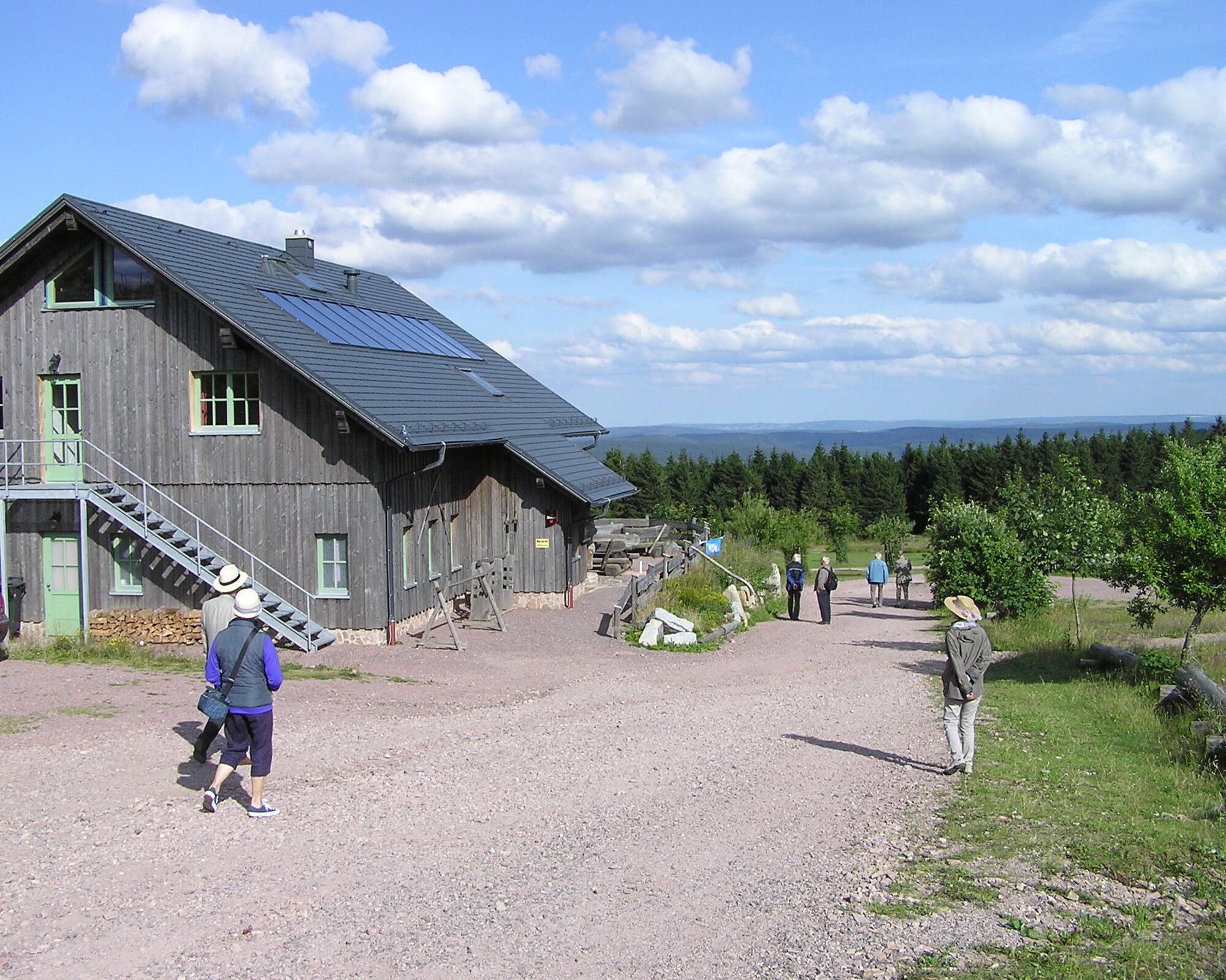
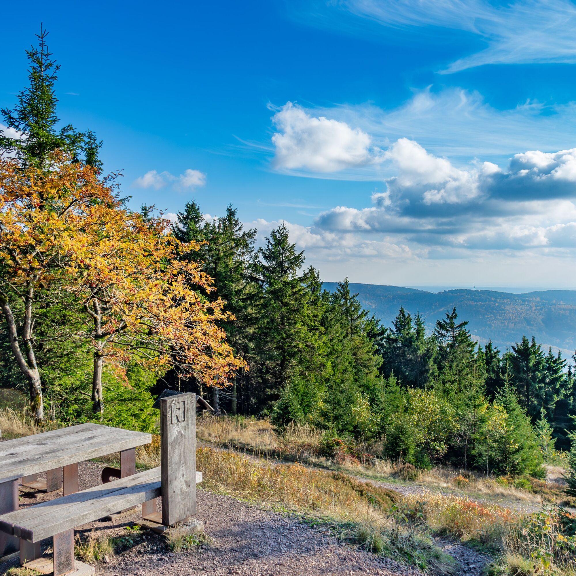
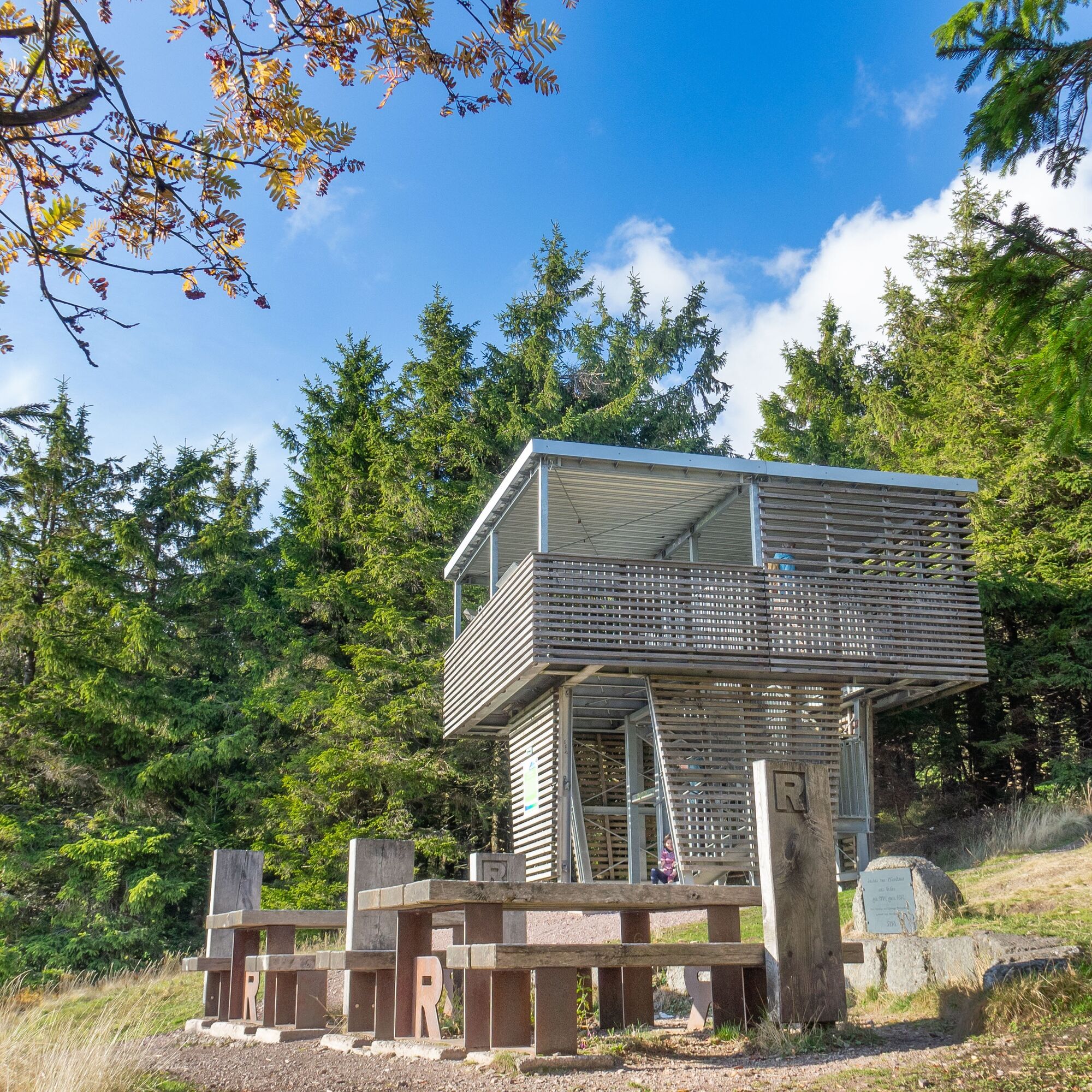
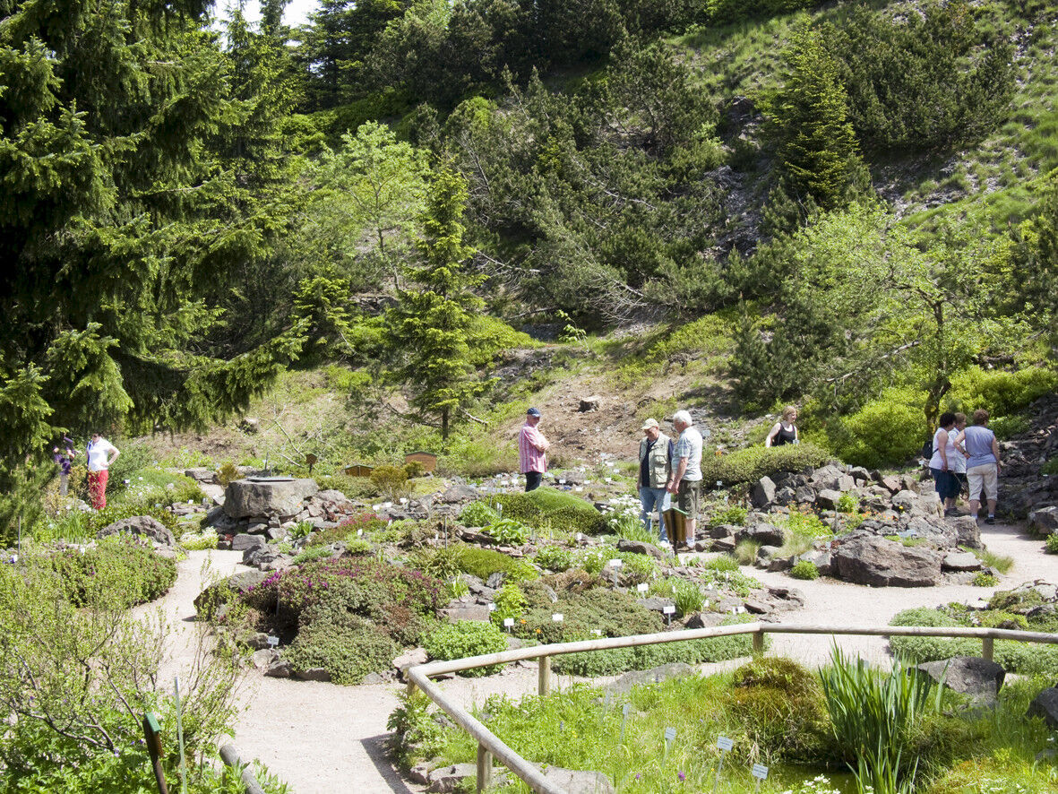
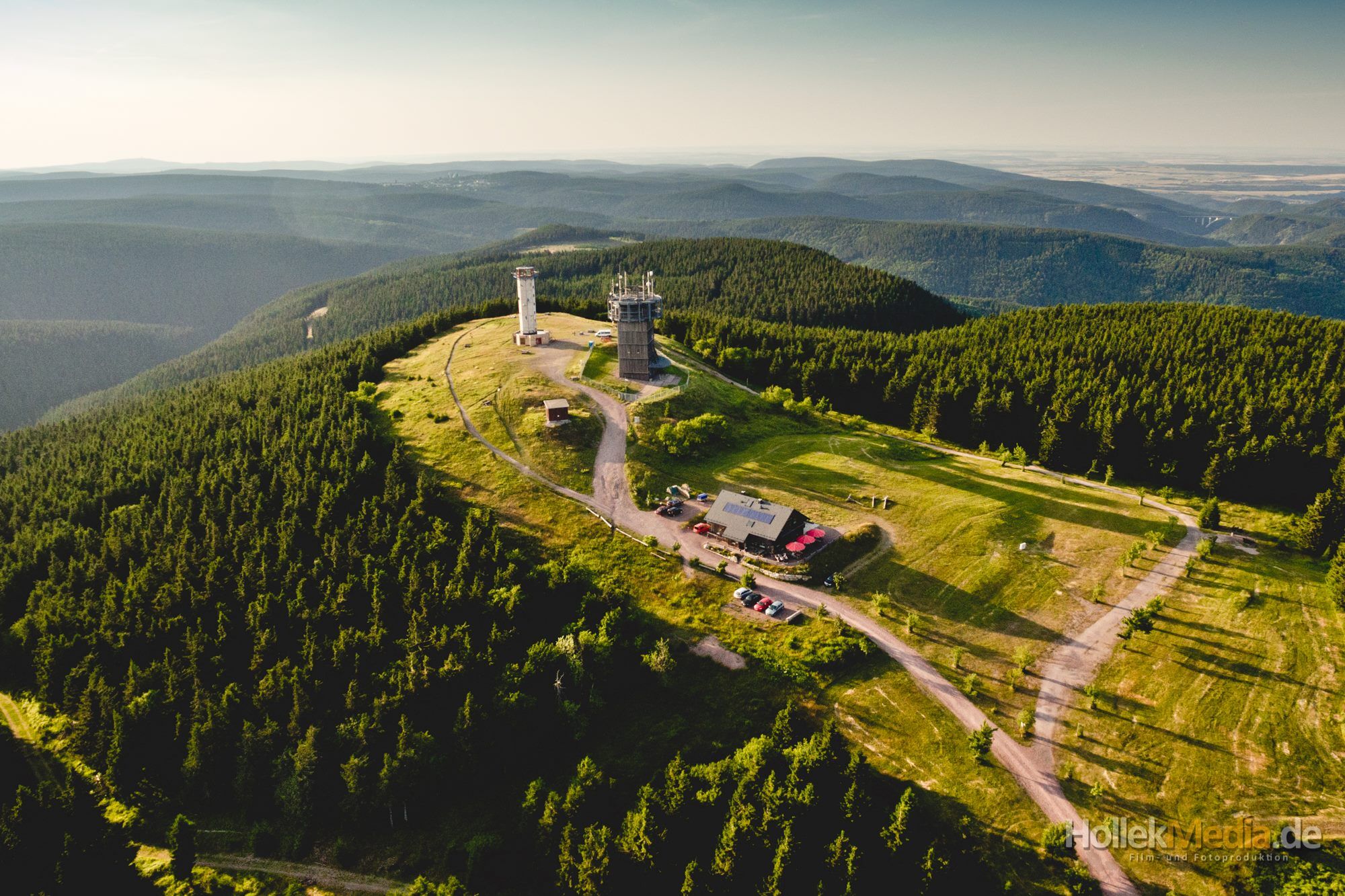
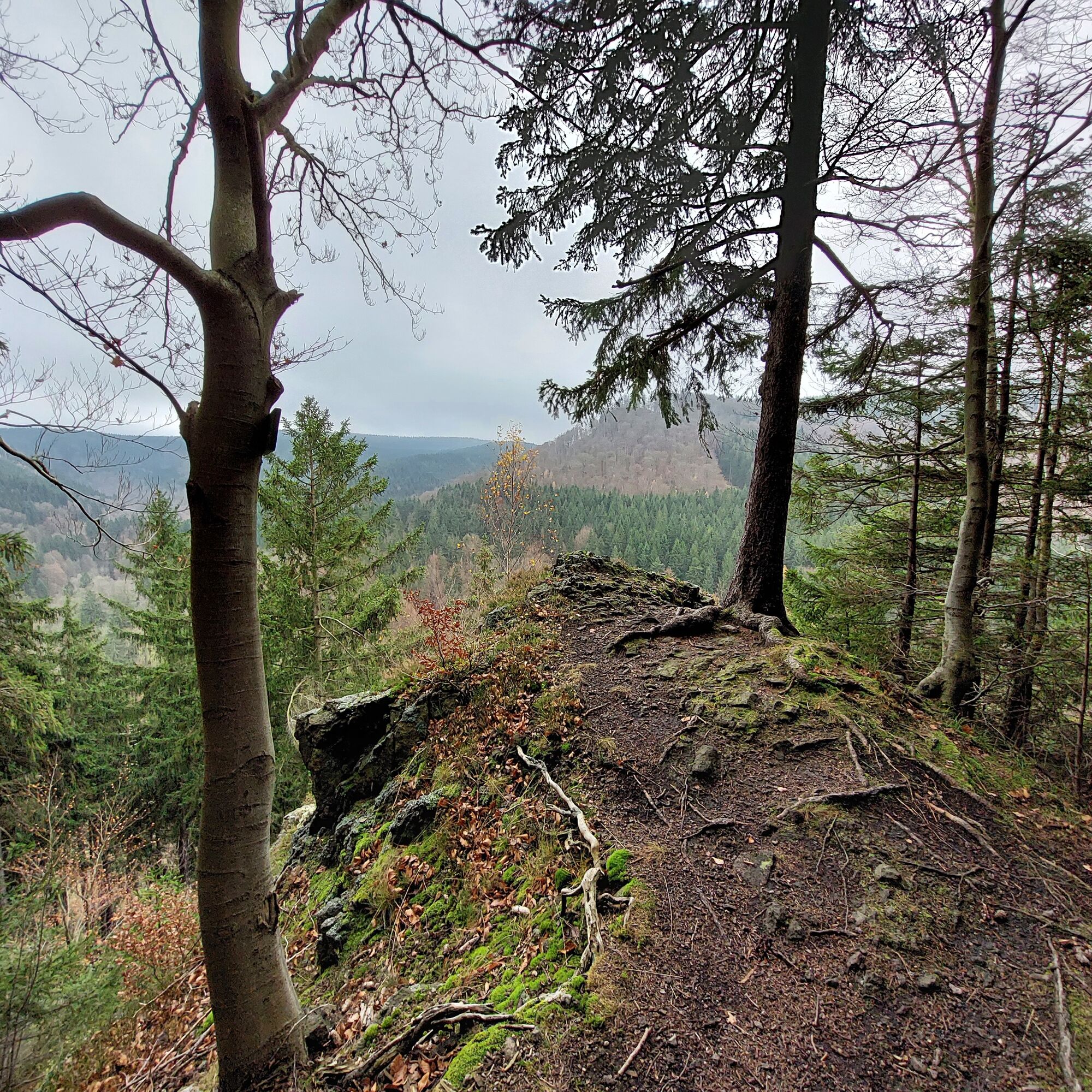
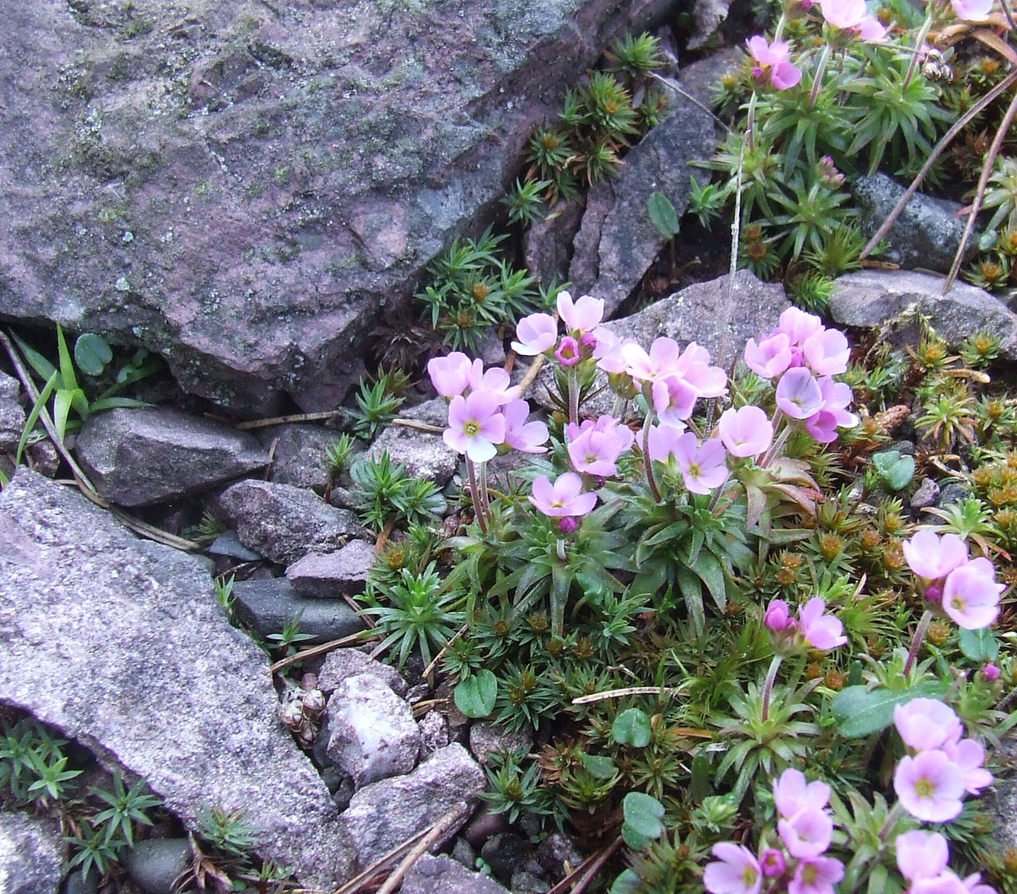
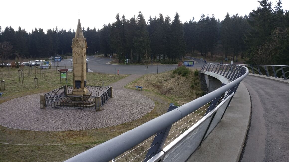
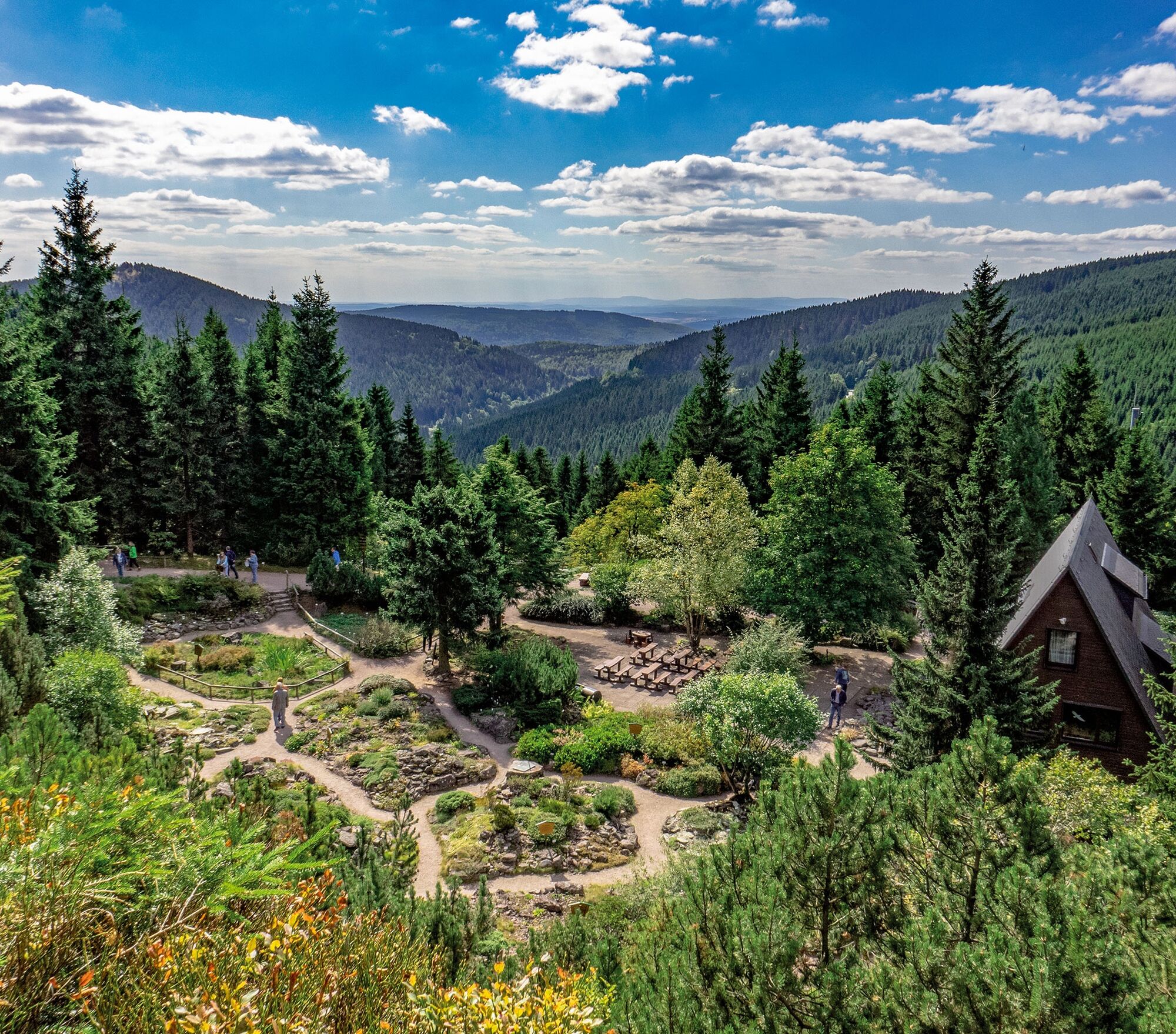
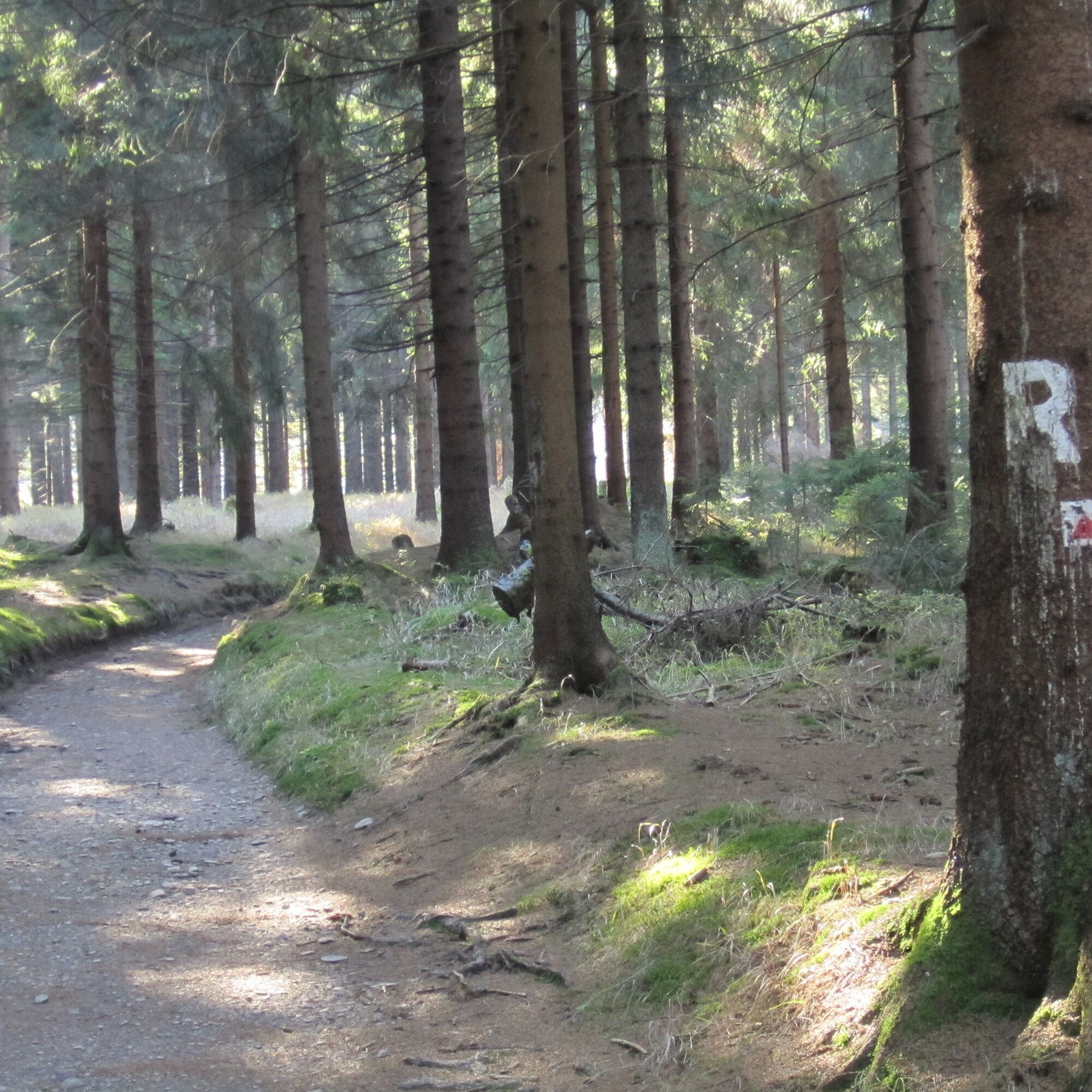
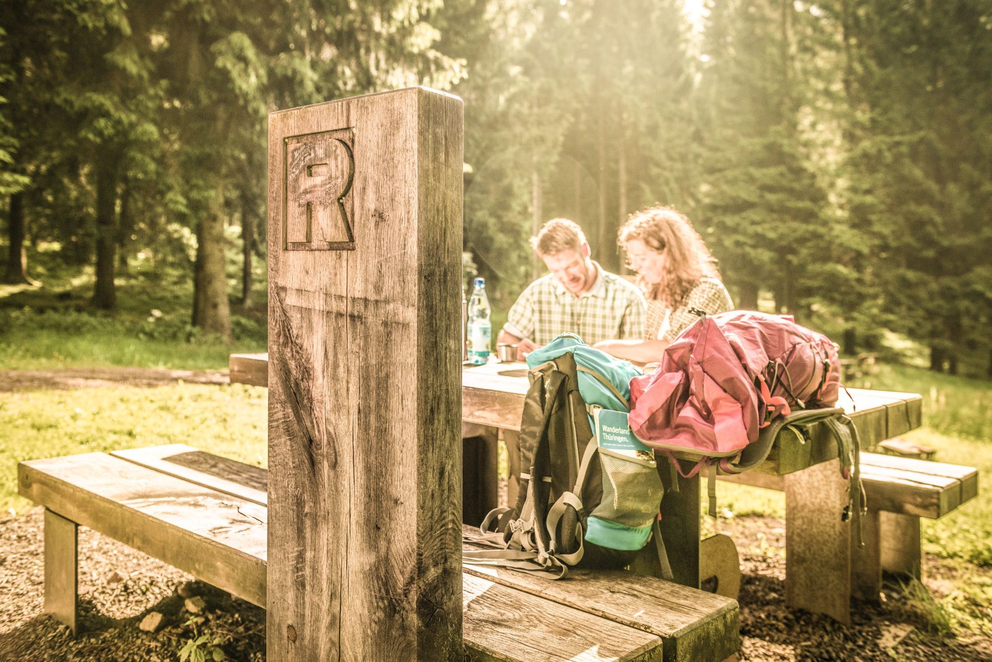
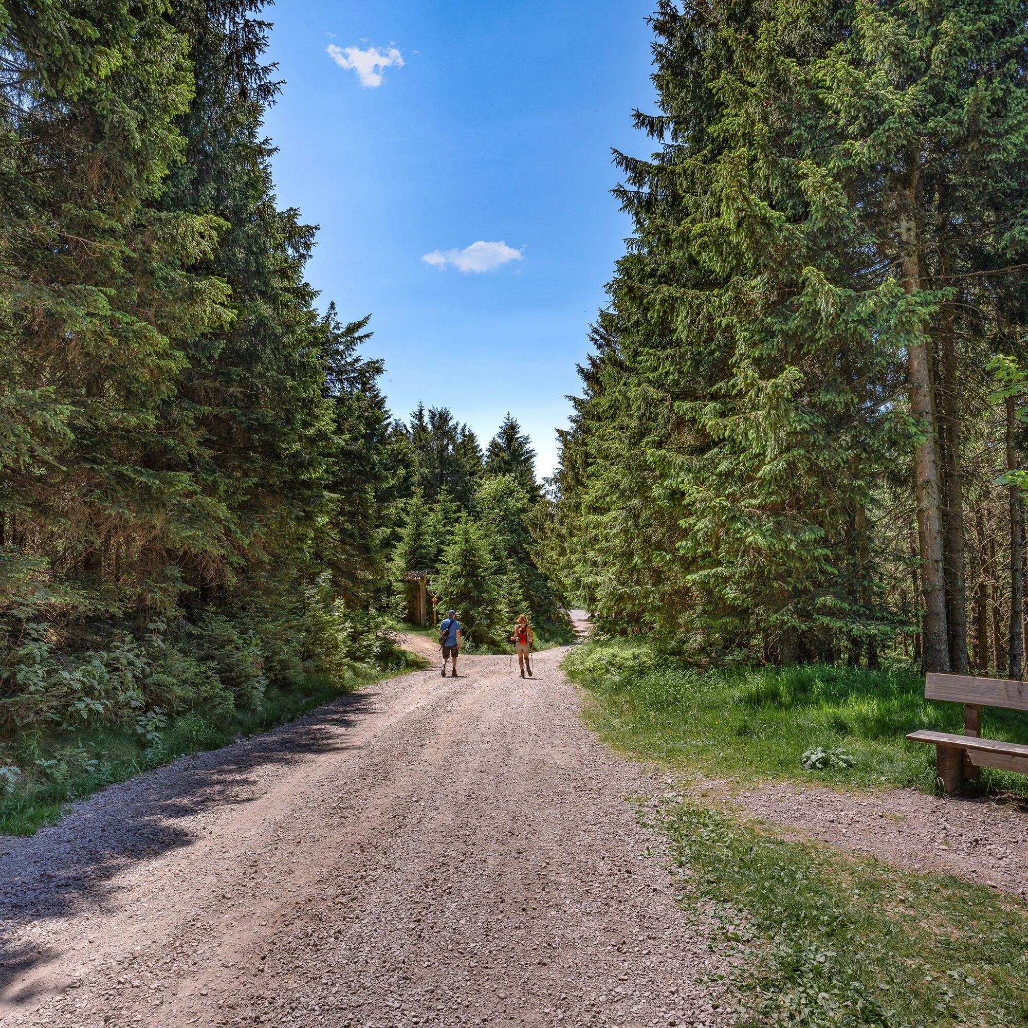
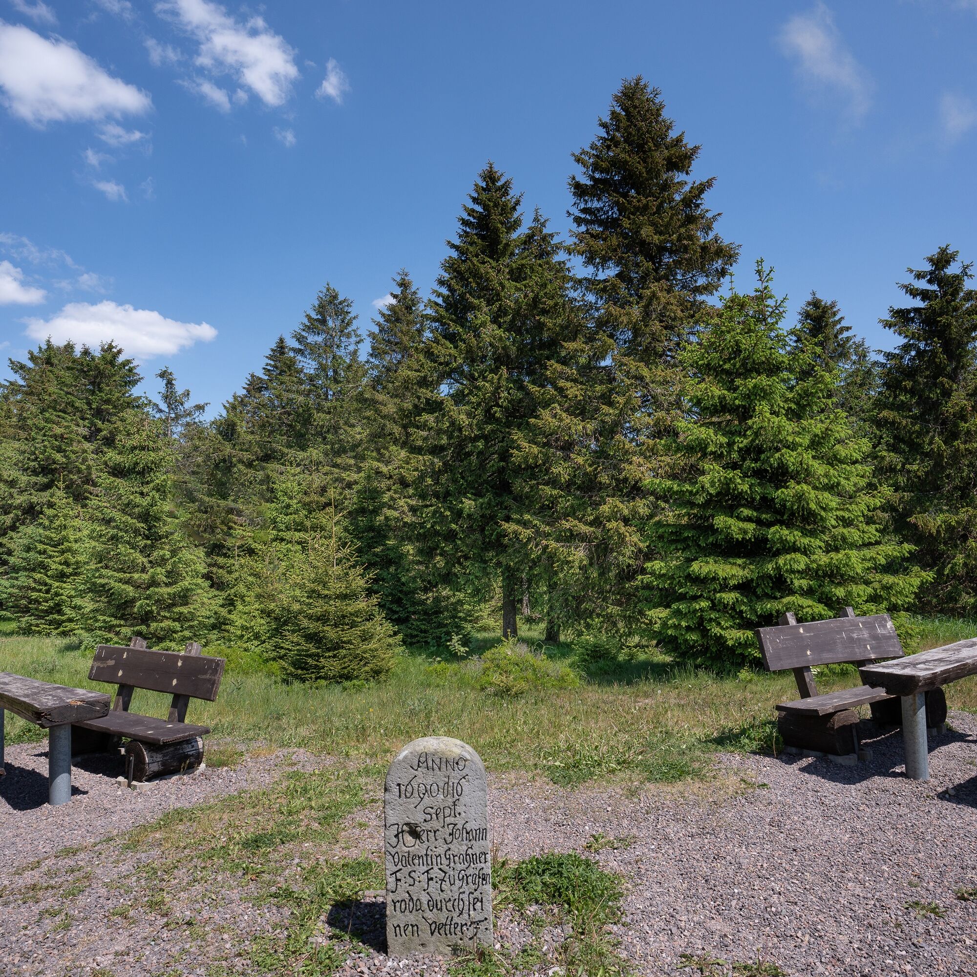
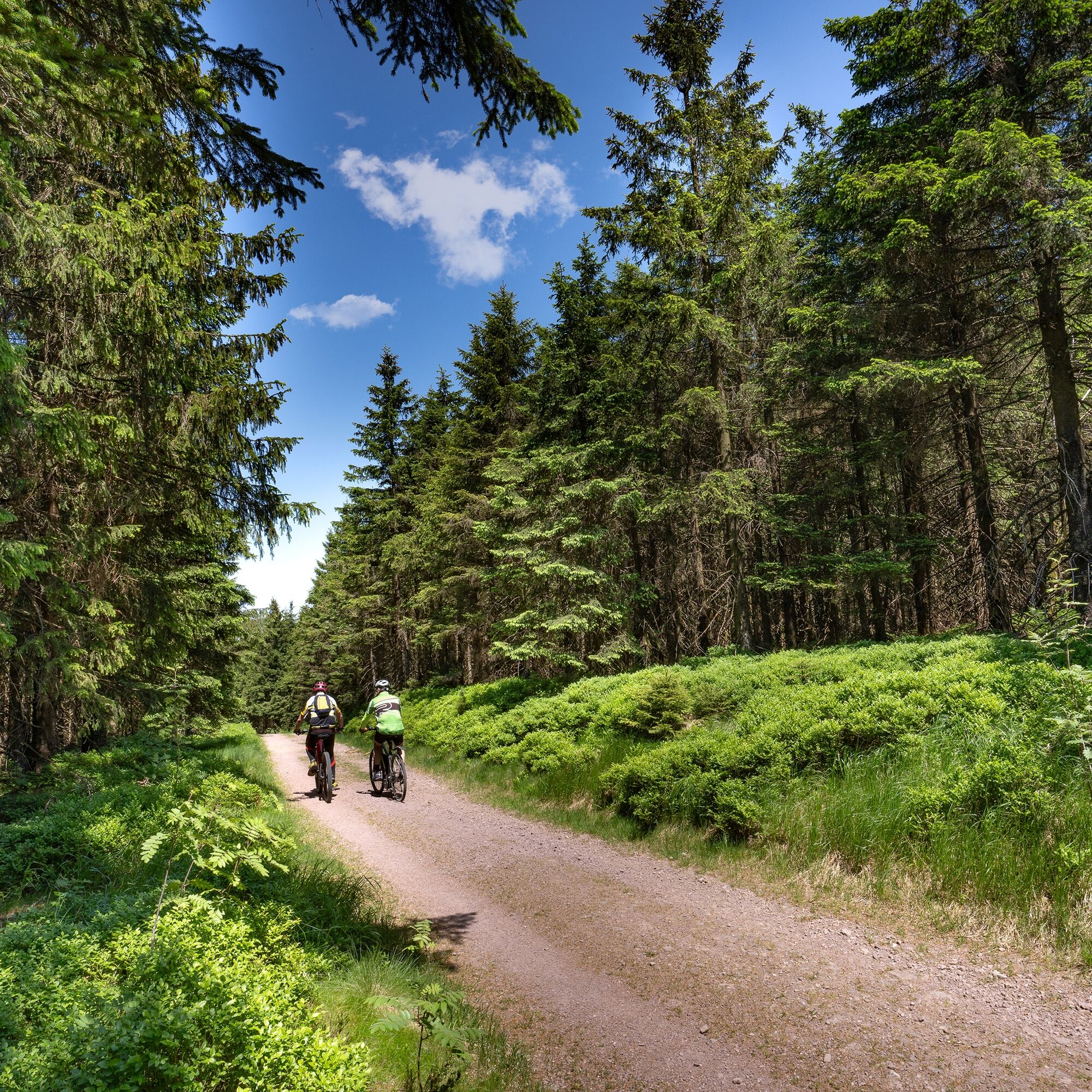
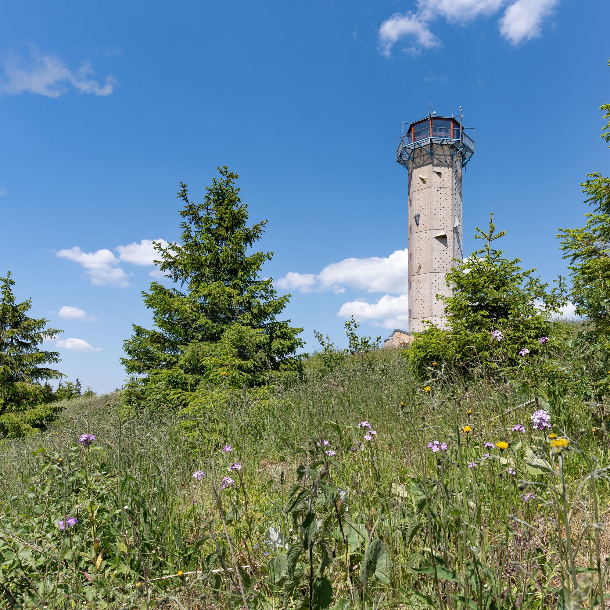
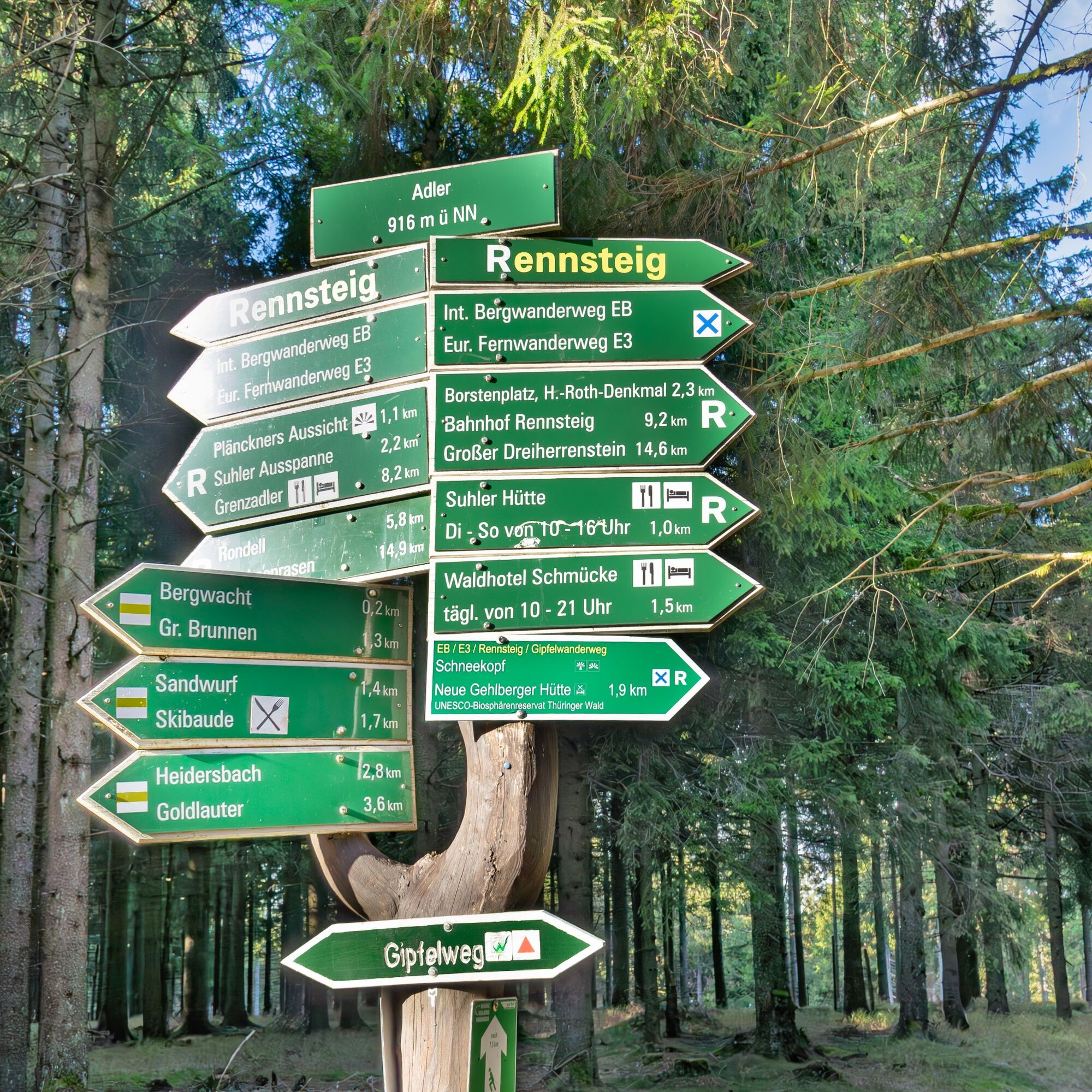
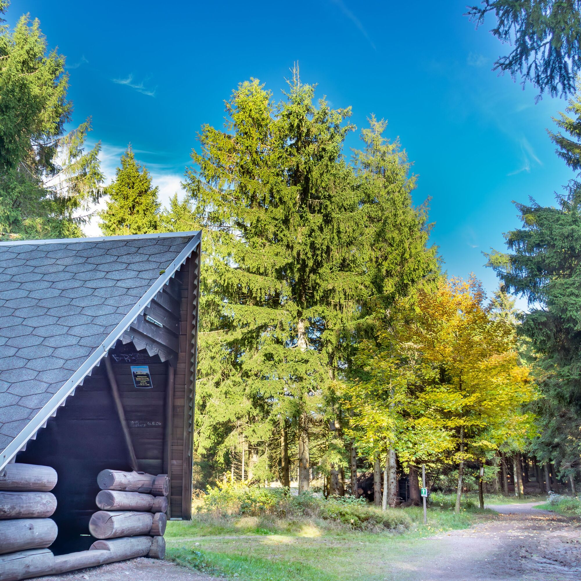

Route: Oberhof Information - Zellaer Straße - Rondell - Rennsteiggarten - Parking Summer Meadow - Rennsteig - Suhler Ausspanne - Plänckners View - Schneekopf - Schmücke
Sturdy footwear
Provisions
Rainwear, sun protection
Insect repellent
Warning in storm, there is a risk of broken trees.
Coming from the A71 take exit 18 (Oberhof) and continue on L3247 towards Oberhof. From the country road, turn right at the first opportunity to Oberhof (center), at the roundabout towards the Oberhof/Fallbachhang sports facilities. Drive to the end of Tambacher Straße to Grenzadler.
You can reach Oberhof from the direction of Zella-Mehlis. From there, take bus line 422 to the Oberhof bus station. Use the Deutsche Bahn travel planner at this link for your travel planning: → Arrival in Oberhof, Grenzadler (please also enter your starting point and the desired travel period in the following form)
Parking at the spa park (Google Nav Point) or at the Gründle (Google Nav Point)
Oberhof Information
Crawinkler Straße 2
98559 Oberhof
www.oberhof.de
If you plan to return by bus, please inform yourself in advance. Bus line R - only a few connections per day.

 Uzyskaj wgląd
Zawsze na żywo z ponad 9 500 kamer internetowych. bergfex Jako użytkownik Pro, możesz teraz zobaczyć odpowiednie kamery internetowe dla wielu wycieczek w aplikacji wycieczki od. Pozwala to na bezpośredni podgląd aktualnych warunków.
Uzyskaj wgląd
Zawsze na żywo z ponad 9 500 kamer internetowych. bergfex Jako użytkownik Pro, możesz teraz zobaczyć odpowiednie kamery internetowe dla wielu wycieczek w aplikacji wycieczki od. Pozwala to na bezpośredni podgląd aktualnych warunków.
Popularne wycieczki w okolicy
-
4,2
Rund um die Ohratalsperre
światłoWędrówka 14,5 km -
4,4
Circular hike "Old Tambach Dam", Tambach-D., Thuringian Forest
średniWędrówka 8,33 km -
4,8
Circular hike - Schmalwasser reservoir - Tambach-Dietharz - Thuringian Forest
średniWędrówka 13,8 km -
4,0
Zu den Schanzen im Kanzlersgrund
średniWędrówka 9,58 km -
4,0
Circular hiking route "Oberschönauer Felsenwanderung" - Steinbach-Hallenberg - Thuringian Forest
ciężkiWędrówka 12,0 km -
The Rennsteig - long-distance hiking trail from Hörschel to Blankenstein - Thuringian Forest
ciężkidługodystansowy szlak pieszy 169,0 km -
5,0
Hiking - Summit hiking trail - Suhl-Goldlauter - Thuringian Forest
ciężkiWędrówka 32,1 km -
5,0
Circular hike to Bärenstein & Pfanntalsteich
średniWędrówka 9,10 km -
5,0
Circular Hiking Route - Lütsche-Flößgraben - Thuringian Forest
ciężkiWędrówka 13,8 km -
4,2
Circular hiking route - "Zunft & Kloß" - Zella-Mehlis - Thuringian Forest
ciężkiTrasa tematyczna 6,83 km
Wędrówki i tropienie


Nie przegap ofert i inspiracji na następne wakacje
Twój adres e-mail została dodana do listy mailingowej.





