


Circular hiking route "Oberschönauer Felsenwanderung" - Steinbach-Hallenberg - Thuringian Forest
Poziom trudności: T1
Zdjęcia naszych użytkowników
 © Karin-WandertUtworzono dnia 02.04.2026
 © Karin-WandertUtworzono dnia 02.04.2026
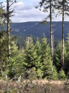 © Karin-WandertUtworzono dnia 04.11.2025
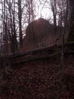 © Karin-WandertUtworzono dnia 04.11.2025
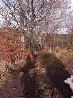 © Karin-WandertUtworzono dnia 04.11.2025
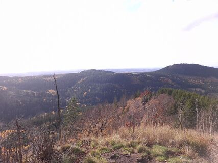 © Karin-WandertUtworzono dnia 04.11.2025
 © Karin-WandertUtworzono dnia 04.11.2025
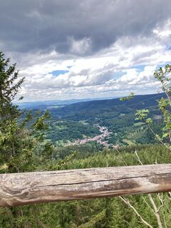
 © Micaela WenigUtworzono dnia 14.07.2024


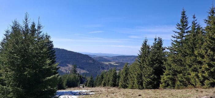
Impressive rocks, herb-rich mountain meadows, bubbling water and a scenic beer garden – this route will make your hiking heart beat faster. Your path initially leads you along the rushing "Kohlenbach",...
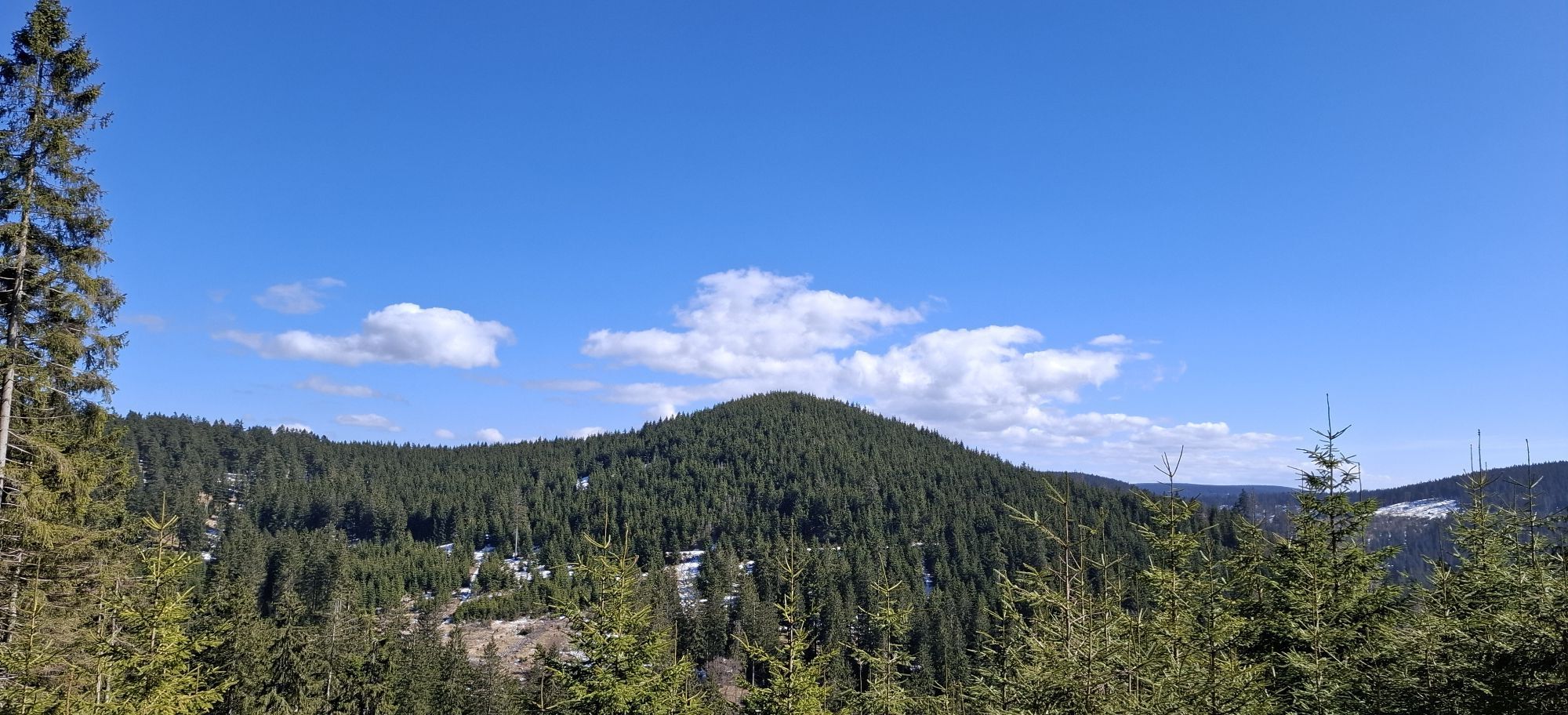
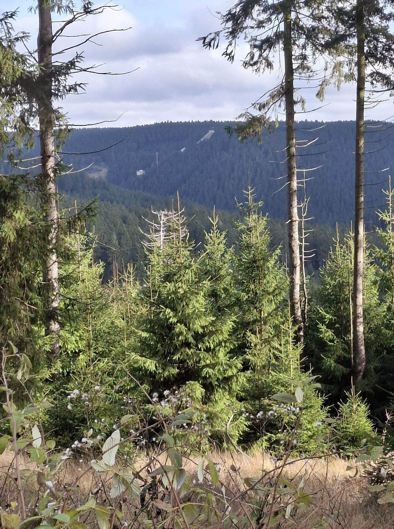
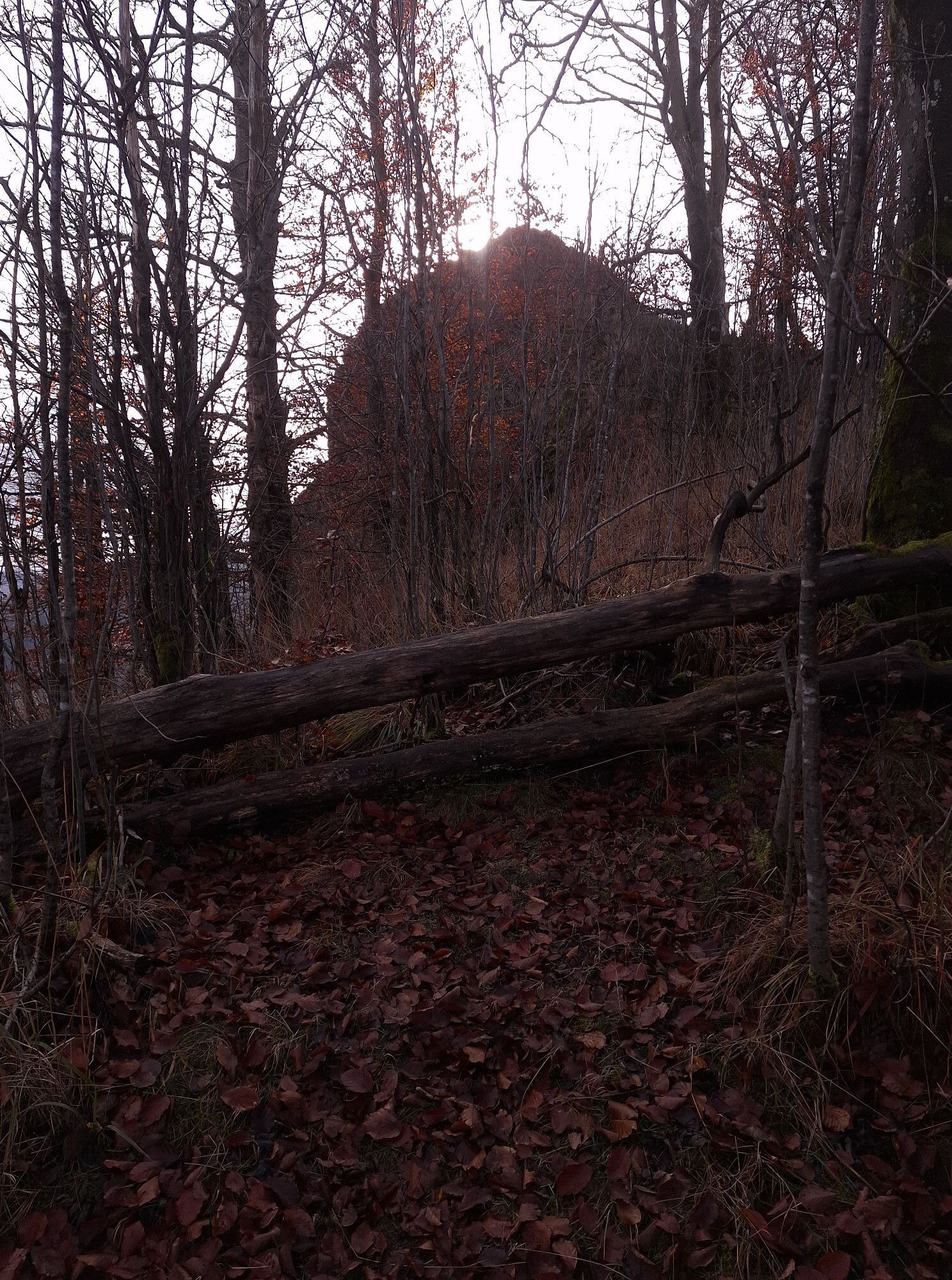
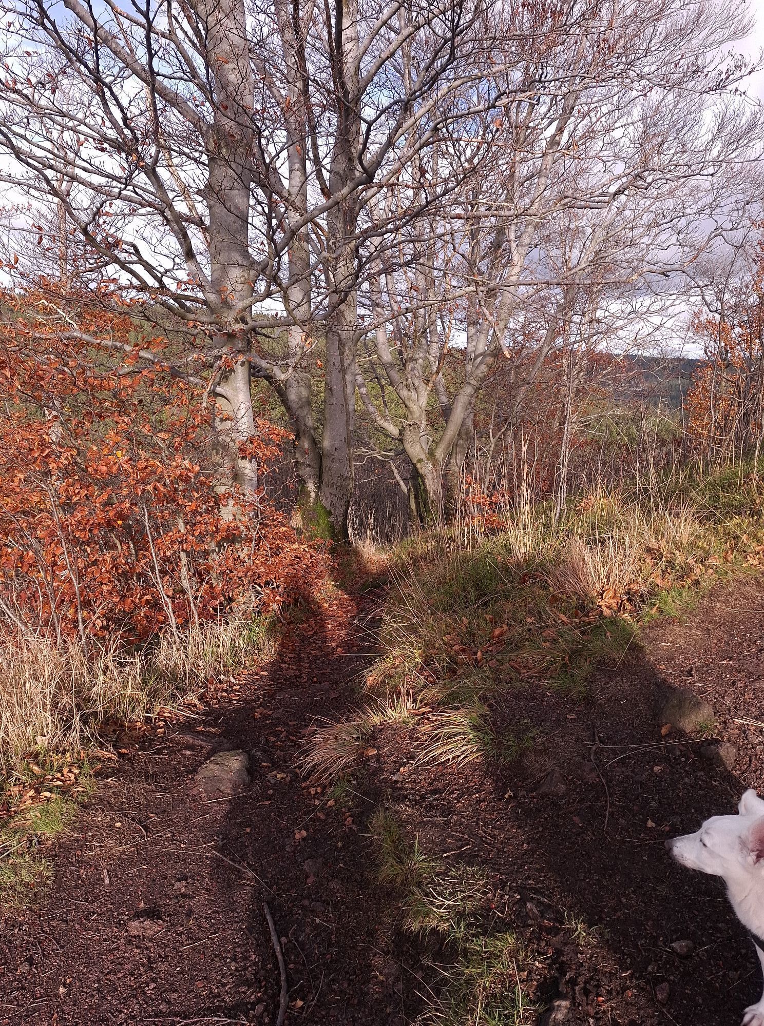
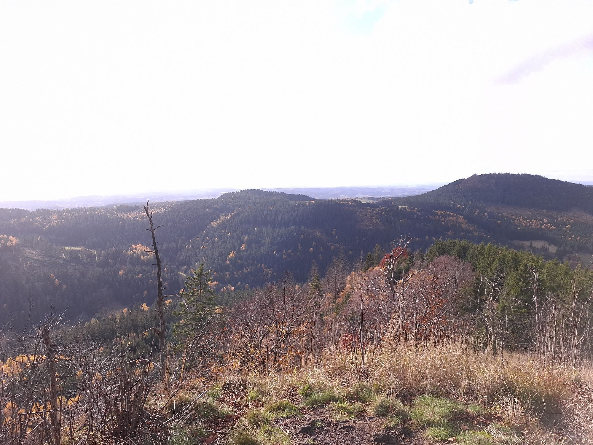
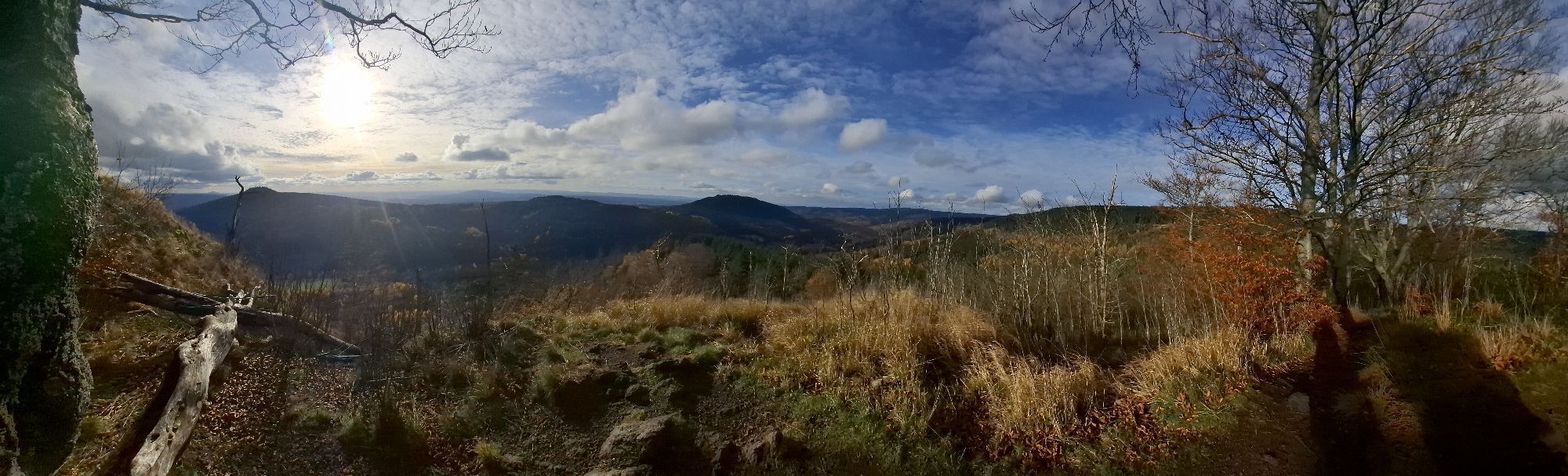
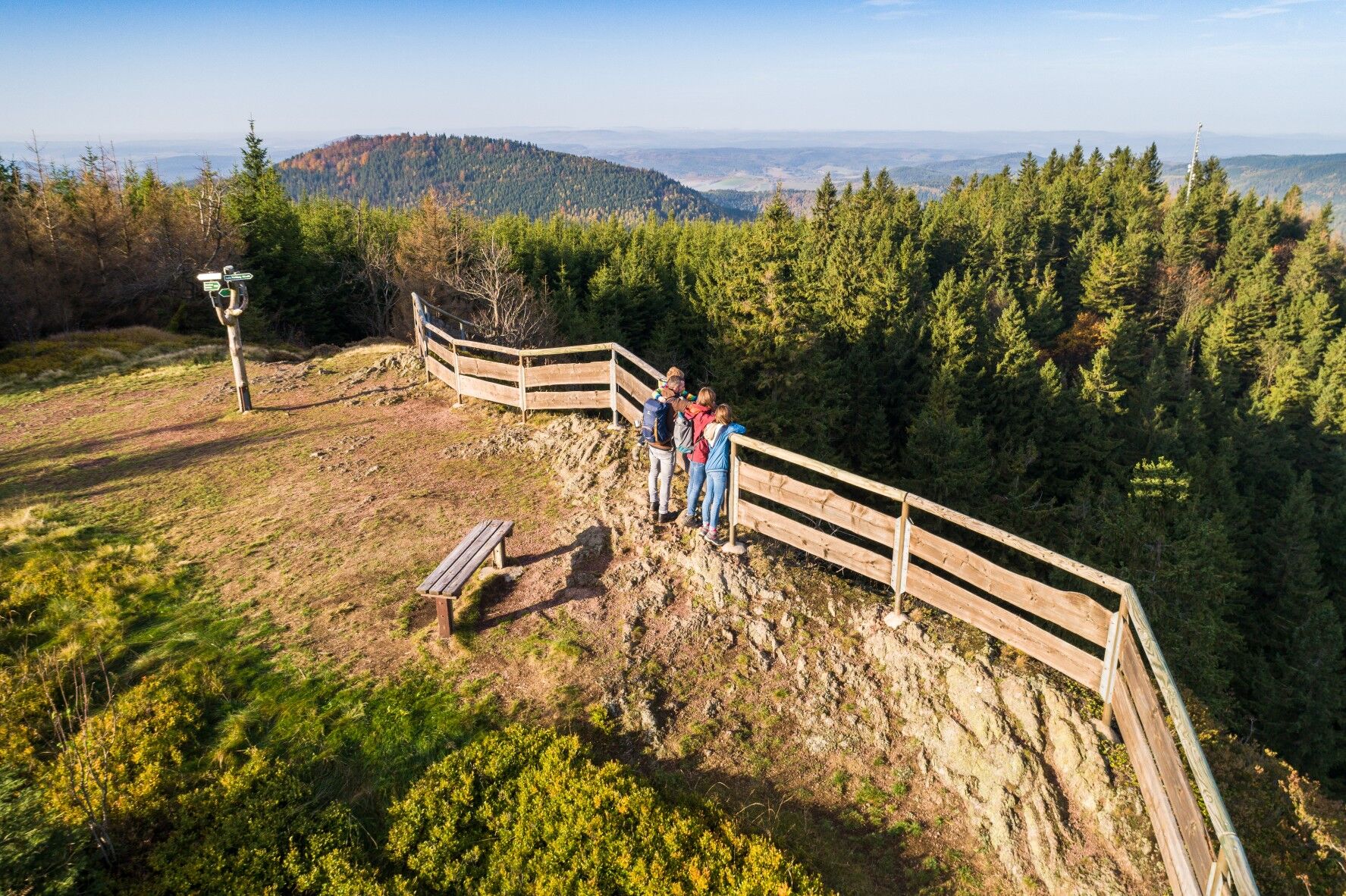
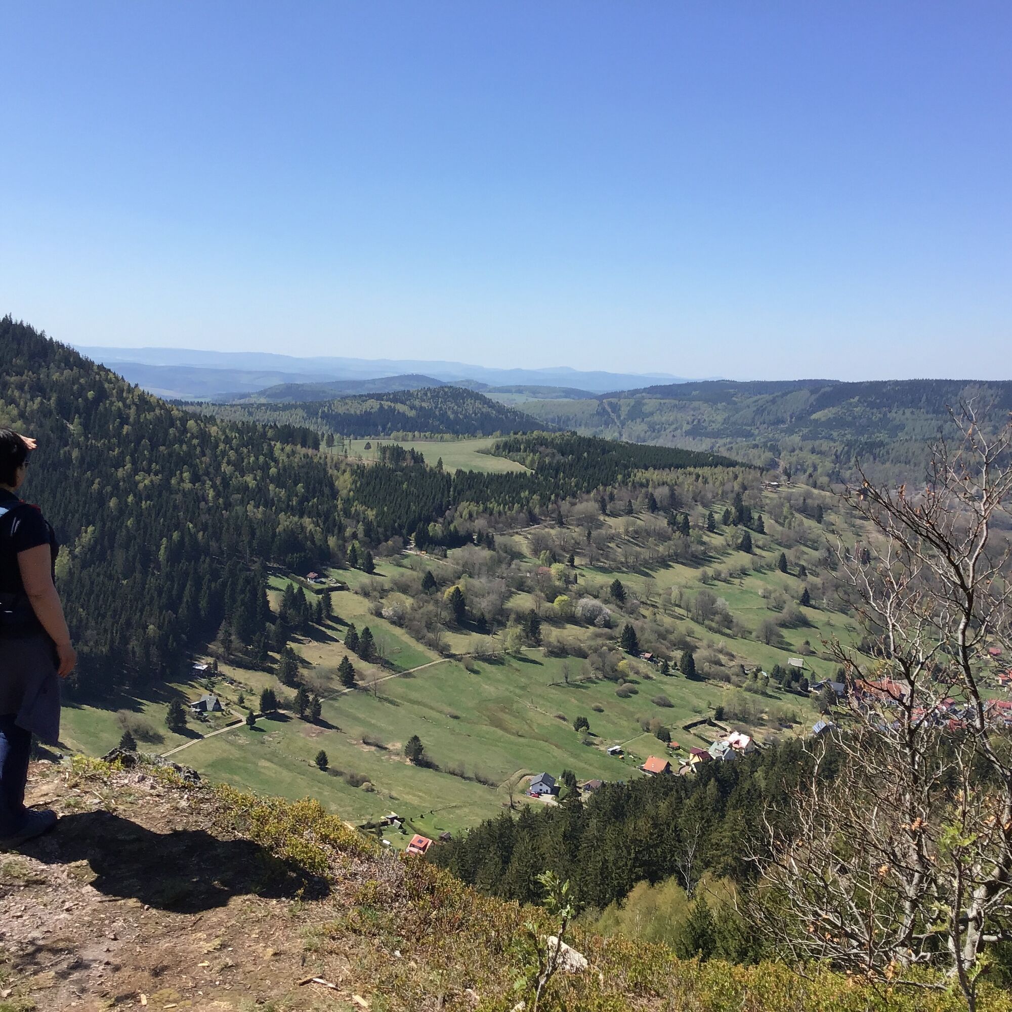
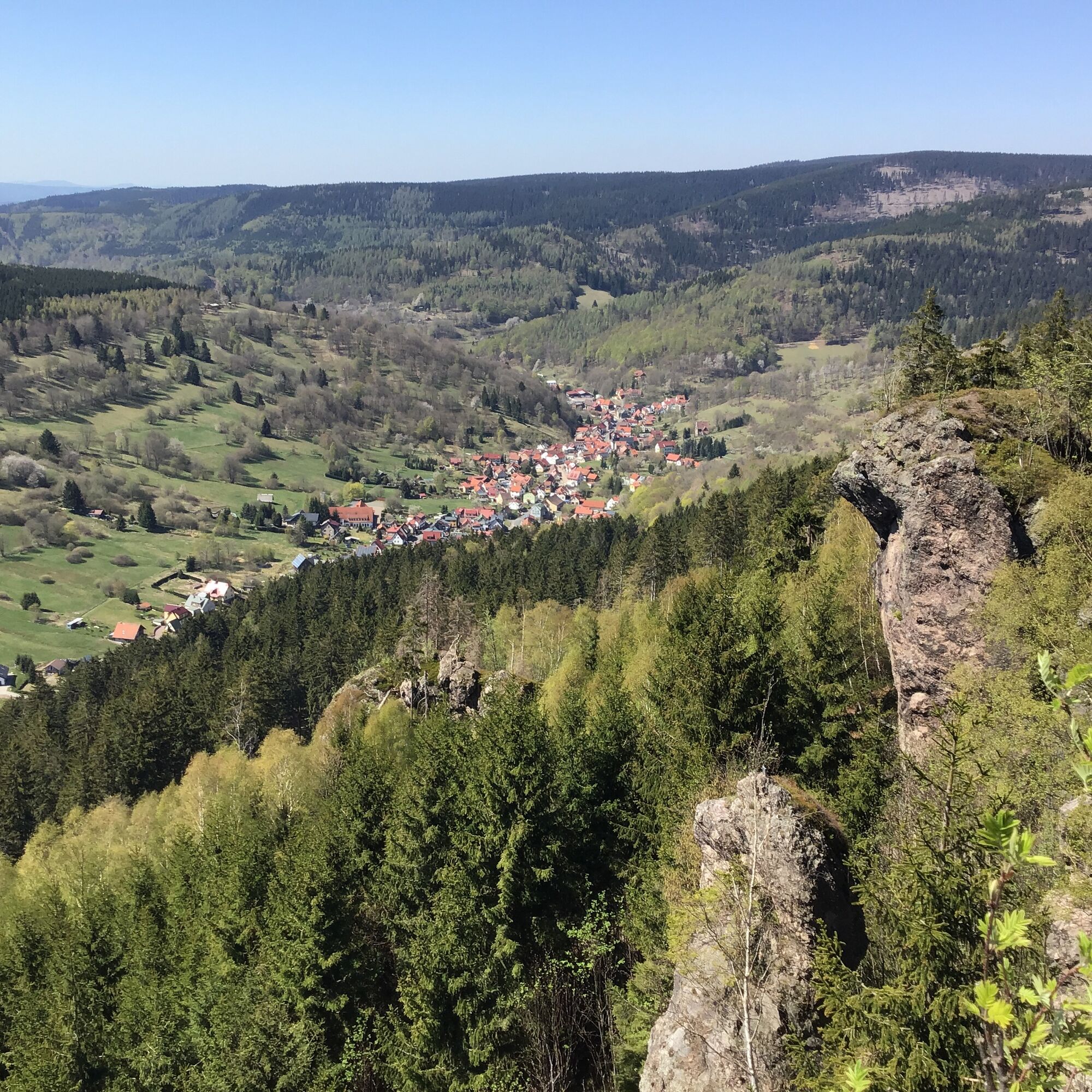
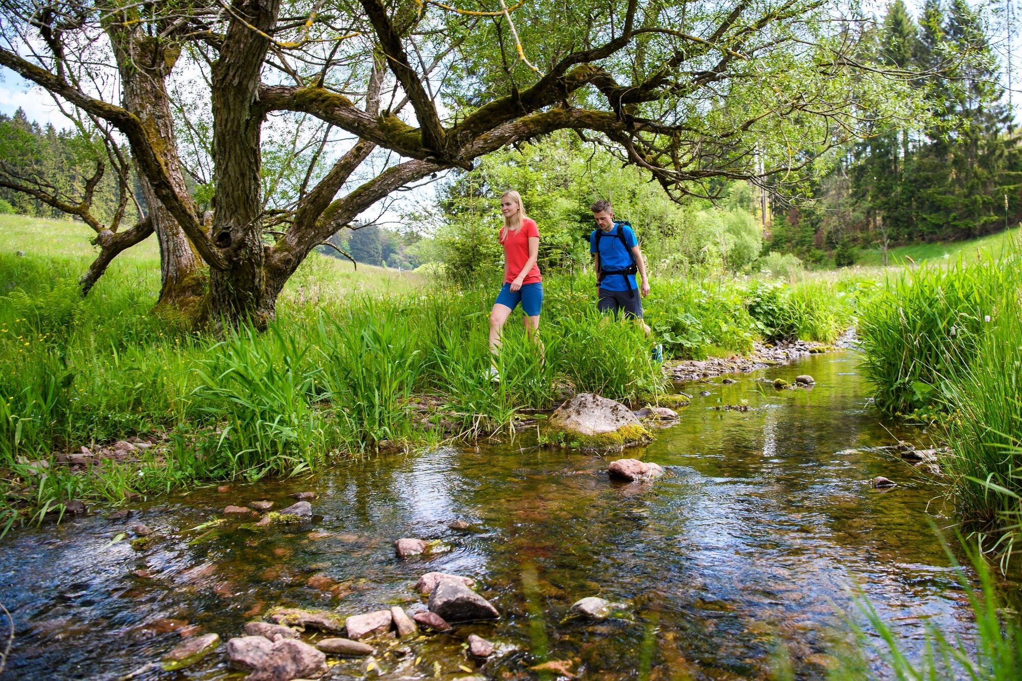
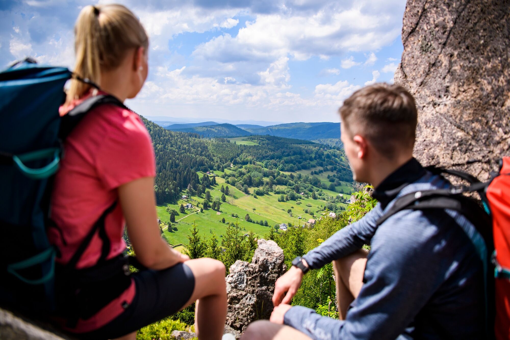
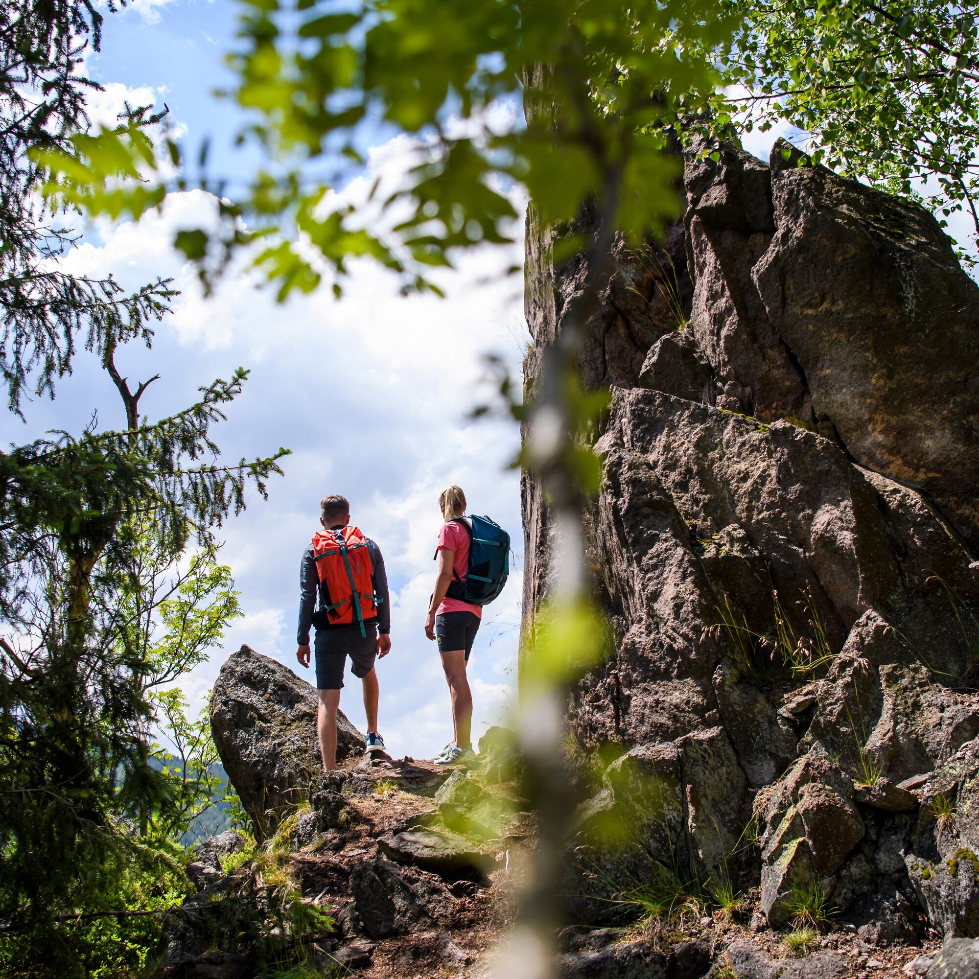
Impressive rocks, herb-rich mountain meadows, bubbling water and a scenic beer garden – this route will make your hiking heart beat faster. Your path initially leads you along the rushing "Kohlenbach", surrounded by cool mountain forest upstream towards the "Kohlenbachsgrund". Over an ascent, you reach your first highlight of this hike, the "Hoher Stein". The natural monument lies a little off the path. An alpine-looking trail leads you up. Once at the top, you are rewarded with pure panorama. Your gaze literally flies over the surrounding mountains far into the Rhön. Your next goal is already within reach of the Rennsteig, the "Hohe Möst". Its plateau drops steeply into a hollow. It is secured by a wooden fence for good reason. The opposite rocks stand out dramatically from the dark spruce forest, the "Katzensteine". You look over the narrow Haseltal with its hidden side valleys. In the distance, the "Inselsberg" even shows itself. You continue back to the last intersection and then downhill on a firm gravel path. After about one kilometer, turn left onto a steep, rooty trail. This leads you down to the "12 Apostles". You should take your time to explore the impressive and popular climbing rocks. Delightful views of the idyllic village motif of Oberschönau, the valley running out to the south and the opposite mountains are presented to you. For the descent, follow the path above the rocks, which automatically leads you to the original gravel path down. Follow this now to the next intersection, where you keep right until a signpost leads you left into the "Finsterbach valley". You pass through this idyllic hidden valley with gentle ups and downs. Blooming mountain meadows and always the surrounding mountains in view guide you back to the "Kanzlersgrund". The "Finsterbach" babbles happily and provides refreshing cooling on hot summer days. An idyllic resting place invites you to pause once again. You return to the starting point of the hike via a meadow path.


Kanzlersgrund - Kohlenbach - Hoher Stein - Hohe Möst - Vordere Möst - 12 Apostelfelsen - Finsterbach - Kanzlersgrund
Tak
Solid footwear
Rainwear
Drink supply
First aid kit
GPS navigation device or smartphone
Please behave considerately and quietly in the forest to protect the flora and fauna. Follow the instructions of the forestry staff and pay attention to restrictions due to forestry work.
If you arrive via the A71, use the Zella-Mehlis/Oberhof exit. Follow the signs towards Oberhof and further in town towards Steinbach-Hallenberg. You will pass the Schanze in Kanzlersgrund and then reach the Gasthof Kanzlersgrund.
Please note that arrival from Steinbach-Hallenberg is only possible via Zella-Mehlis due to the full closure of the Oberschönau town exit (until 2021).
You can reach Oberschönau and the Gasthaus Kanzlersgrund by the buses of the MBB line 448 from Oberhof or Steinbach-Hallenberg. Please note that the bus from Steinbach-Hallenberg goes via Zella-Mehlis due to construction work in Oberschönau (until 2021). We would also like to point out that wearing a mask is mandatory on public transport due to the corona pandemic. (As of 2020)
Parking is located opposite the Gasthof Kanzlersgrund at the hiking car park (Google NAV point)
T1
A summer cool-down is offered by the Oberschönau forest swimming pool. Please find current opening times here.
Refresh yourself afterwards at the Gasthof Kanzlersgrund with hearty home-style cuisine. The beer garden is open in good weather.

Popularne wycieczki w okolicy
- 4,2
Rund um die Ohratalsperre
światłoWędrówka 14,5 km - 4,4
Circular hike "Old Tambach Dam", Tambach-D., Thuringian Forest
średniWędrówka 8,33 km - 3,8
Wanderung zum Spitterfall
średniWędrówka 14,6 km - 4,8
Circular hike - Schmalwasser reservoir - Tambach-Dietharz - Thuringian Forest
średniWędrówka 13,8 km - 4,0
Zu den Schanzen im Kanzlersgrund
średniWędrówka 9,58 km - 4,5
Hike over the Rennsteig & the Schneekopf to the Schmücke
ciężkiWędrówka 20,9 km - 5,0
Hiking - Summit hiking trail - Suhl-Goldlauter - Thuringian Forest
ciężkiWędrówka 32,1 km - 5,0
Circular Hiking Route - Lütsche-Flößgraben - Thuringian Forest
ciężkiWędrówka 13,8 km Circular hiking route - Ruppberg - Thuringian Forest
średniWędrówka 11,4 km- 4,2
Circular hiking route - "Zunft & Kloß" - Zella-Mehlis - Thuringian Forest
ciężkiTrasa tematyczna 7,08 km
Wędrówki i tropienie


Nie przegap ofert i inspiracji na następne wakacje
Twój adres e-mail została dodana do listy mailingowej.