


Hiking - Summit hiking trail - Suhl-Goldlauter - Thuringian Forest
Poziom trudności: T2
Zdjęcia naszych użytkowników
-

 © JensMUtworzono dnia 30.10.2025
 -

 © Andreas EcksteinUtworzono dnia 15.08.2025
 -
 © Andreas EcksteinUtworzono dnia 15.08.2025
 -
 © Andreas EcksteinUtworzono dnia 15.08.2025
 -
 © Andreas EcksteinUtworzono dnia 15.08.2025
 -
 © Andreas EcksteinUtworzono dnia 15.08.2025
 -

 © Jana RudloffUtworzono dnia 26.04.2025
 -
 © Jana RudloffUtworzono dnia 26.04.2025
 -
 © Jana RudloffUtworzono dnia 26.04.2025
 -
 © Jana RudloffUtworzono dnia 26.04.2025
 -
 © Jana RudloffUtworzono dnia 26.04.2025
 -
 © Jana RudloffUtworzono dnia 26.04.2025
 -
 © Jana RudloffUtworzono dnia 26.04.2025
 -
 © Jana RudloffUtworzono dnia 26.04.2025
 -
 © Jana RudloffUtworzono dnia 26.04.2025
 -
 © Jana RudloffUtworzono dnia 26.04.2025
 -
 © Jana RudloffUtworzono dnia 26.04.2025
 -
 © Norbert HerbigUtworzono dnia 12.05.2024
 -
 © Norbert HerbigUtworzono dnia 12.05.2024
 -
 © Norbert HerbigUtworzono dnia 12.05.2024
 -

 © Maik MaulUtworzono dnia 20.07.2024
 -
 © Maik MaulUtworzono dnia 20.07.2024
 -
 © PepiUtworzono dnia 17.10.2023
 -
 © PepiUtworzono dnia 17.10.2023
 -
 © PepiUtworzono dnia 17.10.2023
 -
 © thschoeUtworzono dnia 24.08.2025


From Suhl the route starts with a rapid ascent to 867 meters to the Salzberg summit - the entry to the 900-meter peaks of the Thuringian Forest. At the mountain station of the Goldlauter ski lift you have...
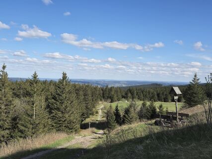
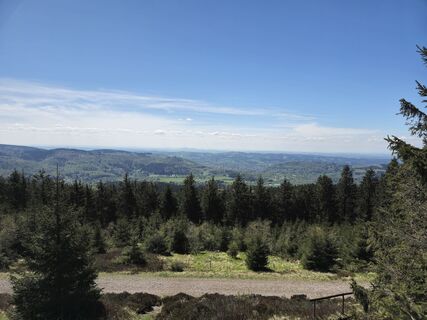
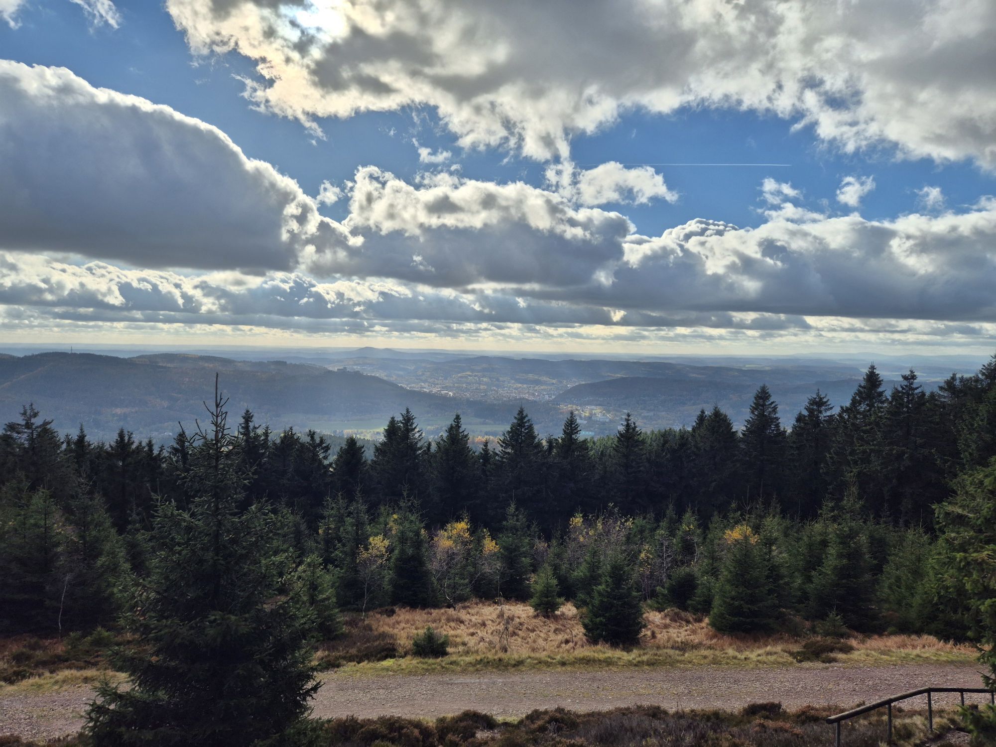
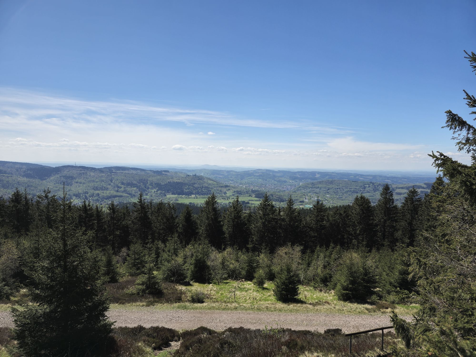
From Suhl the route starts with a rapid ascent to 867 meters to the Salzberg summit - the entry to the 900-meter peaks of the Thuringian Forest. At the mountain station of the Goldlauter ski lift you have the first fantastic panoramic view over the southern Thuringian Forest.
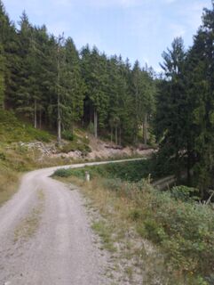
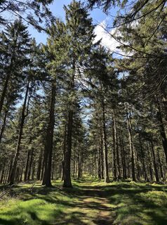
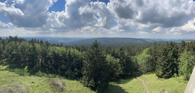
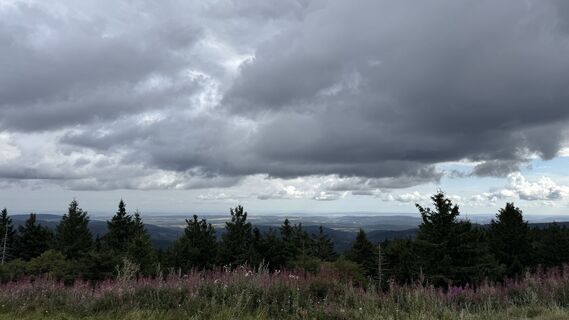
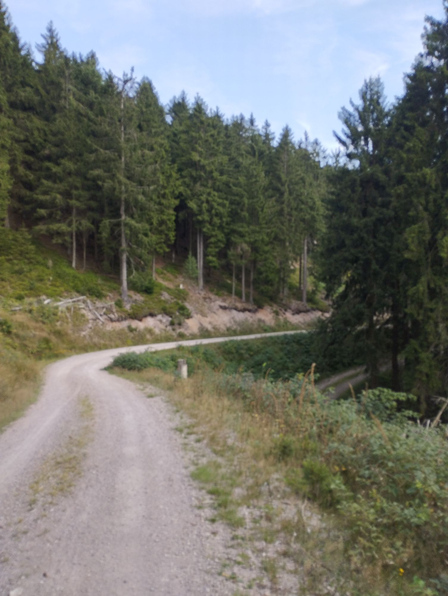
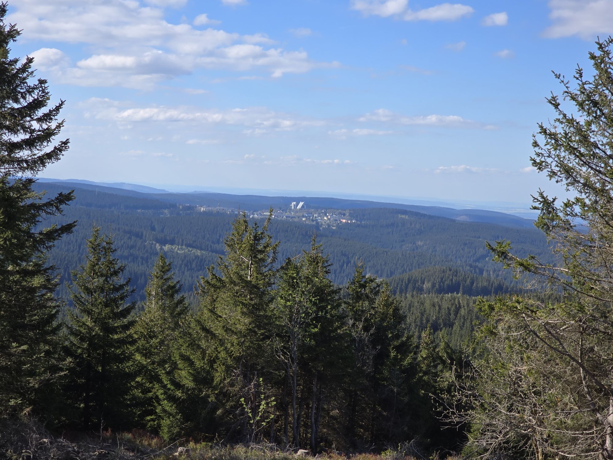
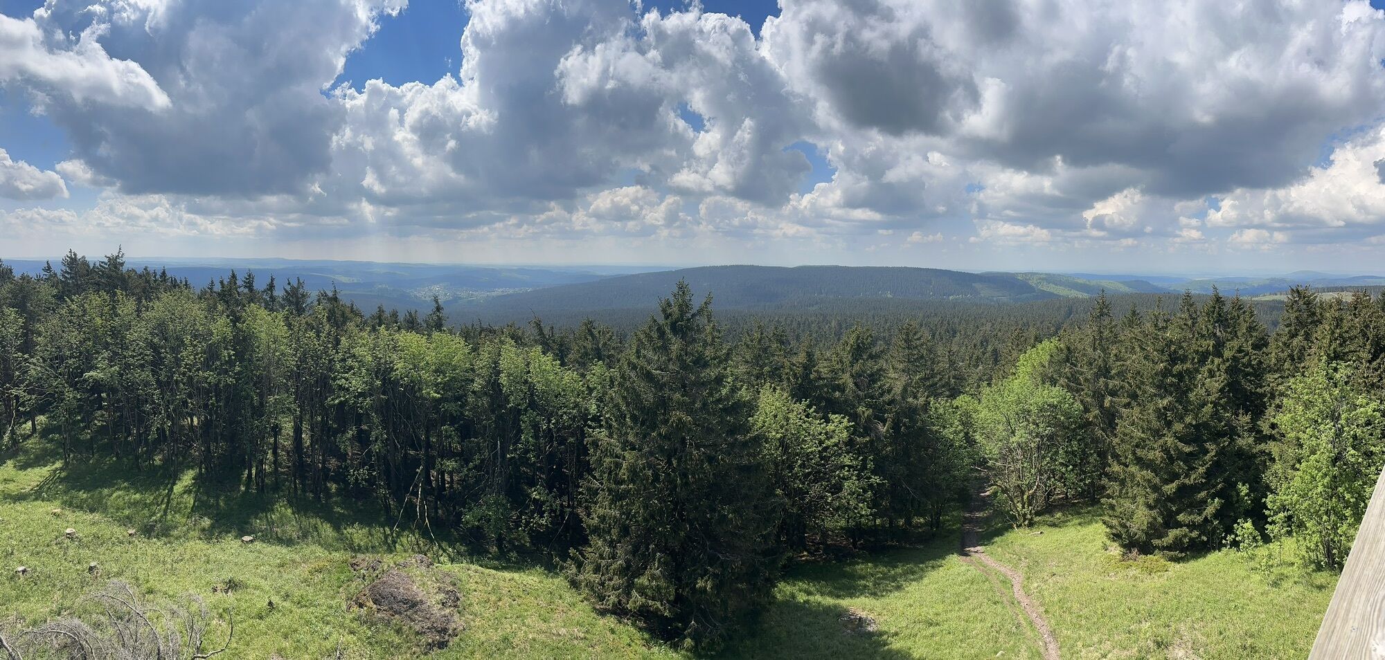
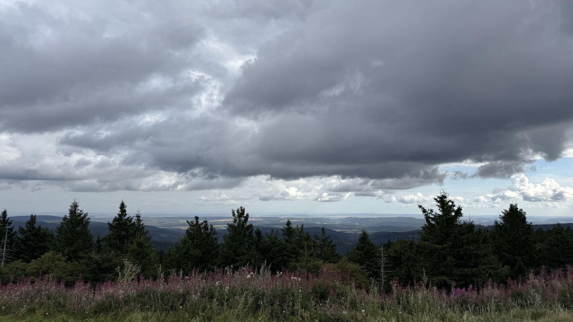
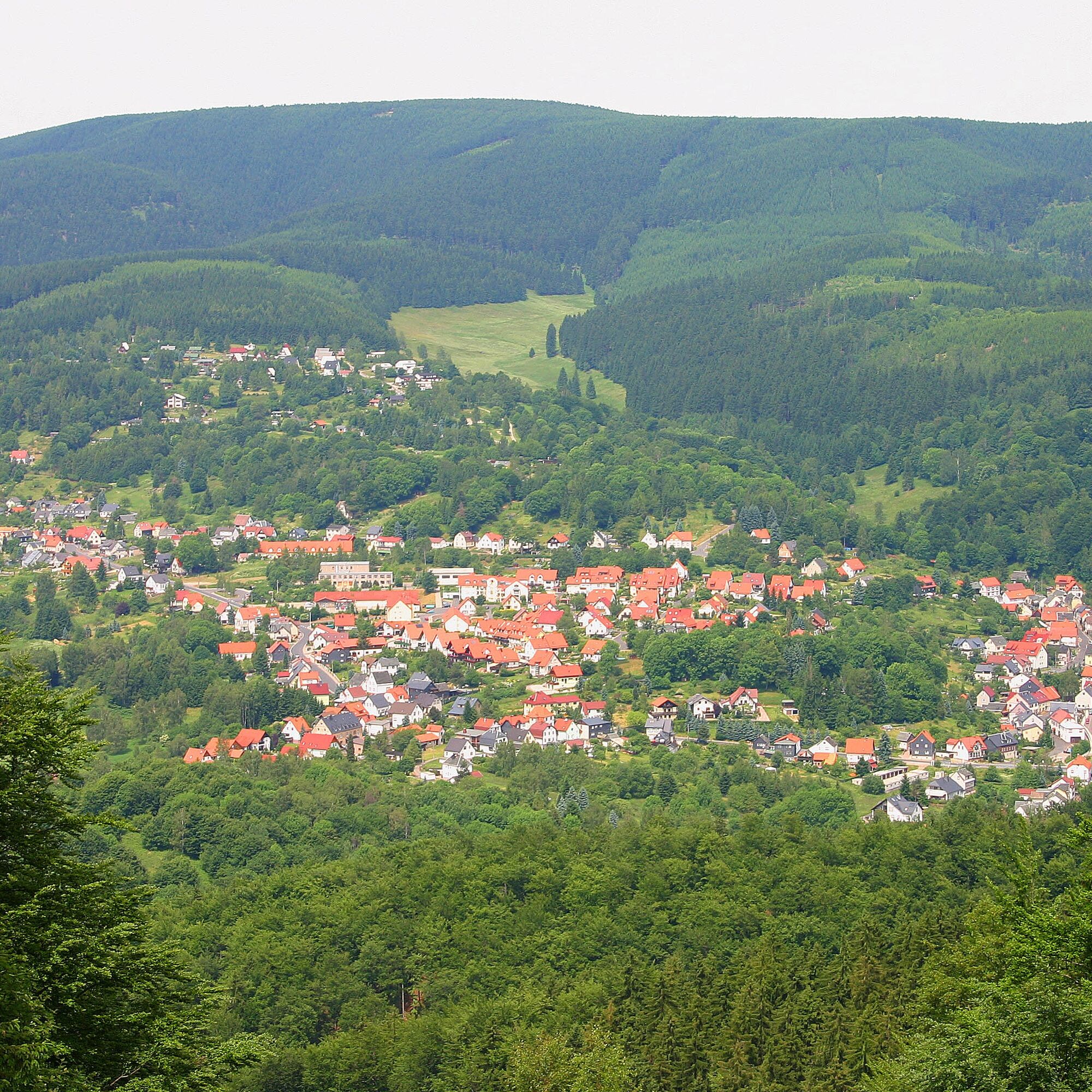
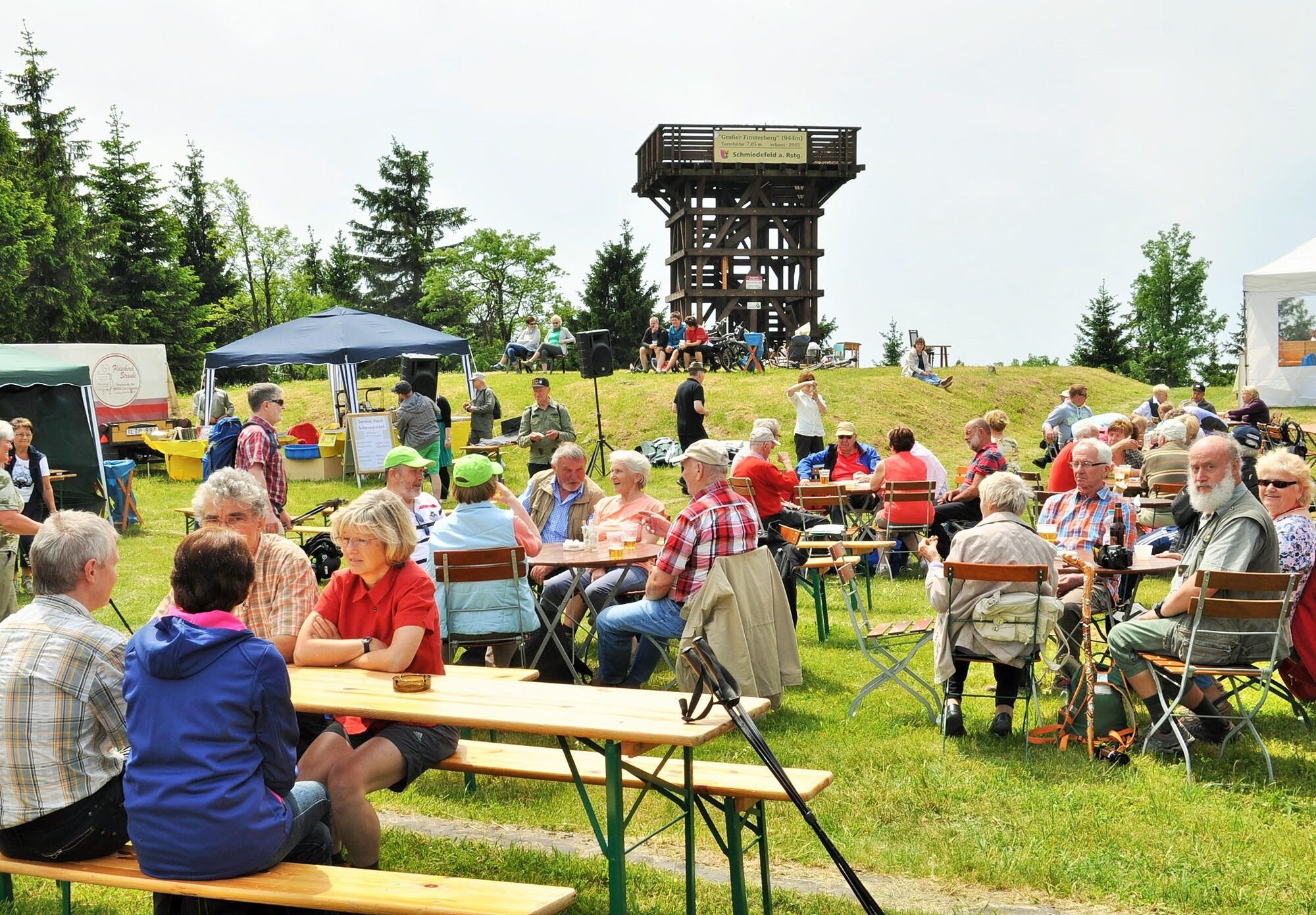
Soon after, you reach Kalte Herberge. Passing the Großer Eisenberg (907 m), the summit hiking trail continues along ridges to the lift lodge at the mountain station of the ski lift of the Winterwelt Schmiedefeld. Here the summit hiking trail turns north and leads you through dense forest areas to the rest area at the crossroads. Via the Rennsteig it goes to the Großer Finsterberg. At 940 m, you have a wonderful view of Schmiedefeld and the adjacent Vessertal.
After the short detour, it continues over Mordfleck and the Goldlauterberg (874 m) towards Borstenplatz. Here you find the Herbert Roth memorial stone. You leave the Rennsteig again and reach the Fichtenkopf (944 m). The gentle descent to Heidersbacher Tränke and the Suhler Hut provides a short rest. It's wonderful to rest here before you start the ascent to the highest point of the tour via Schmücke to the Schneekopf.
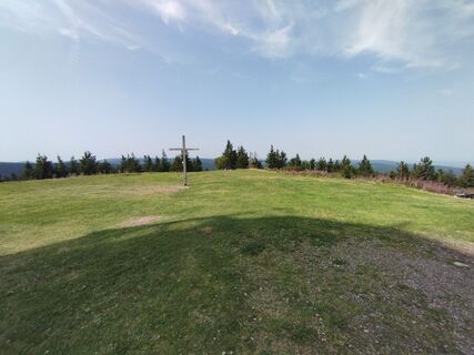
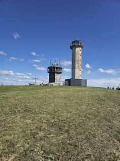
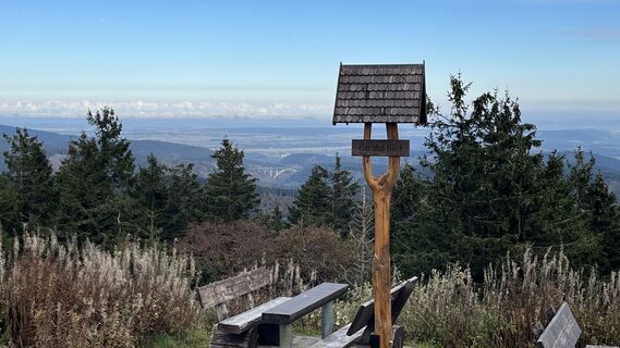
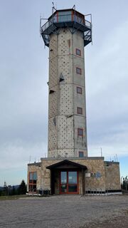
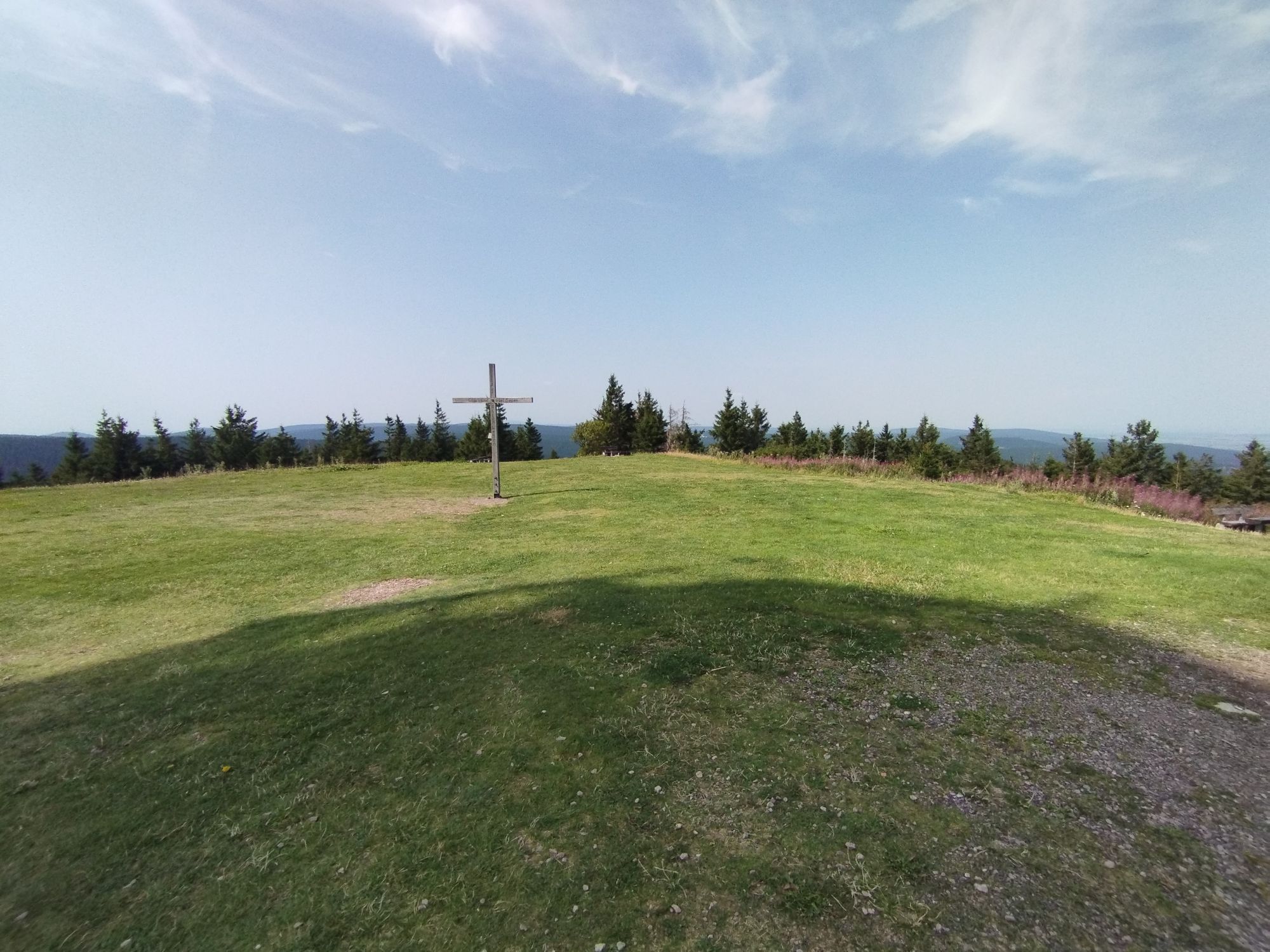
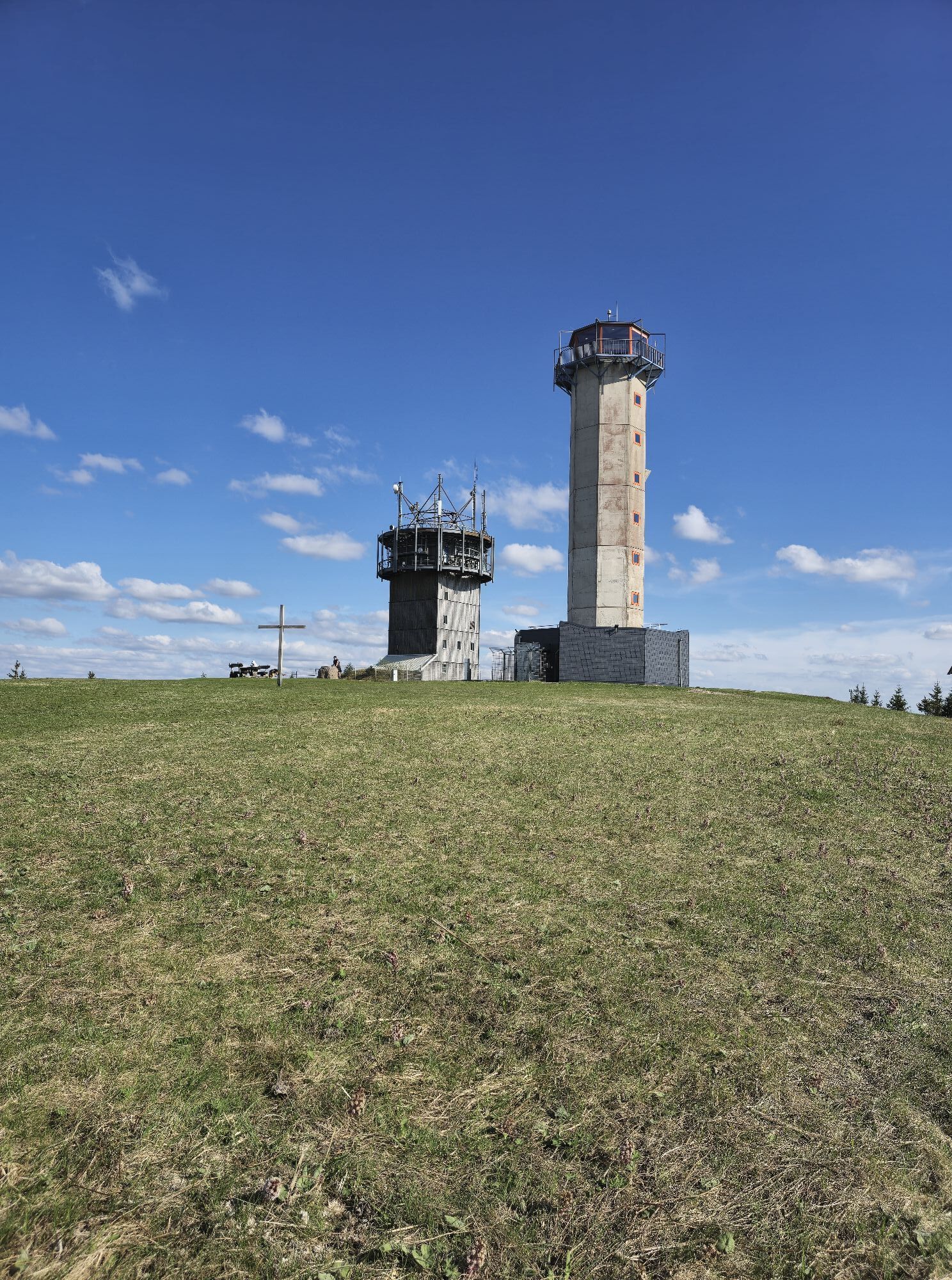
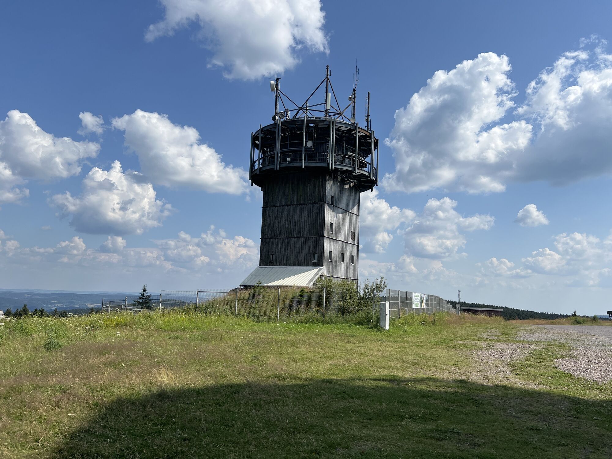
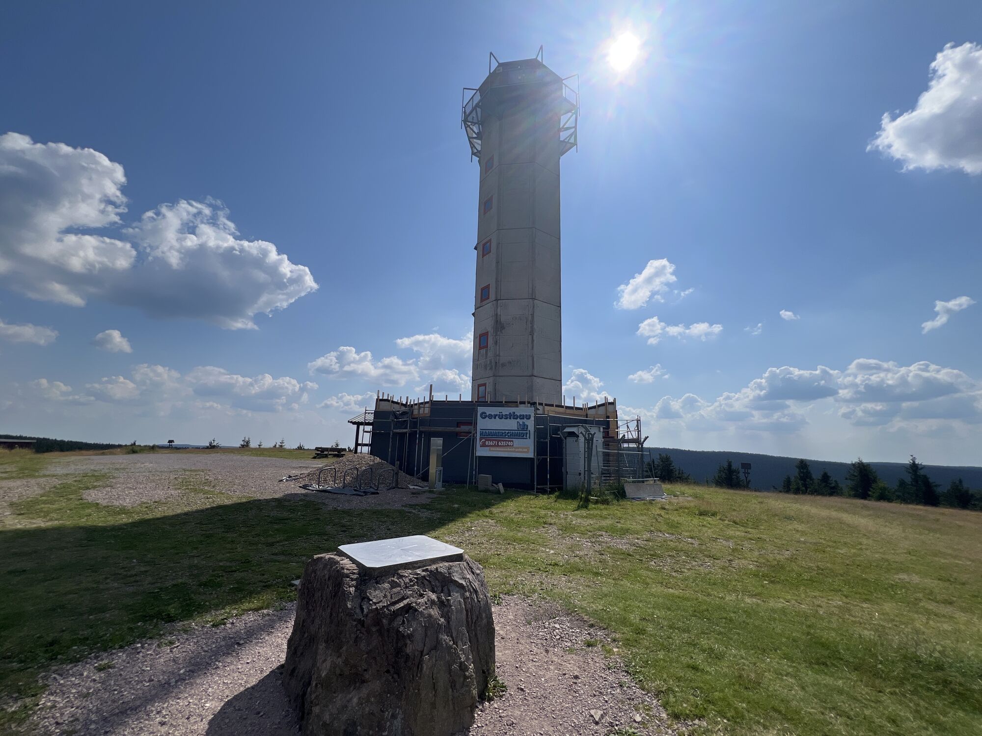
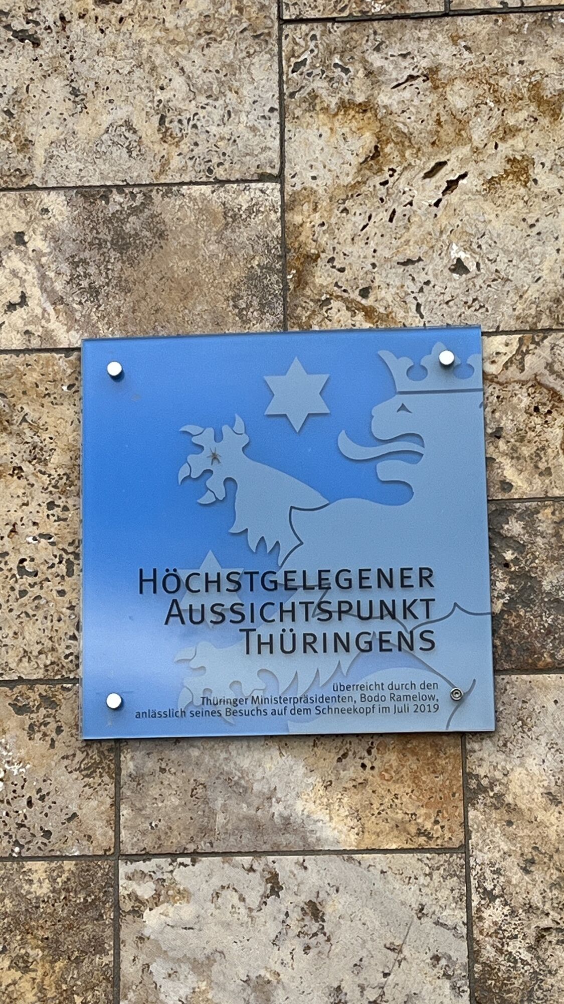
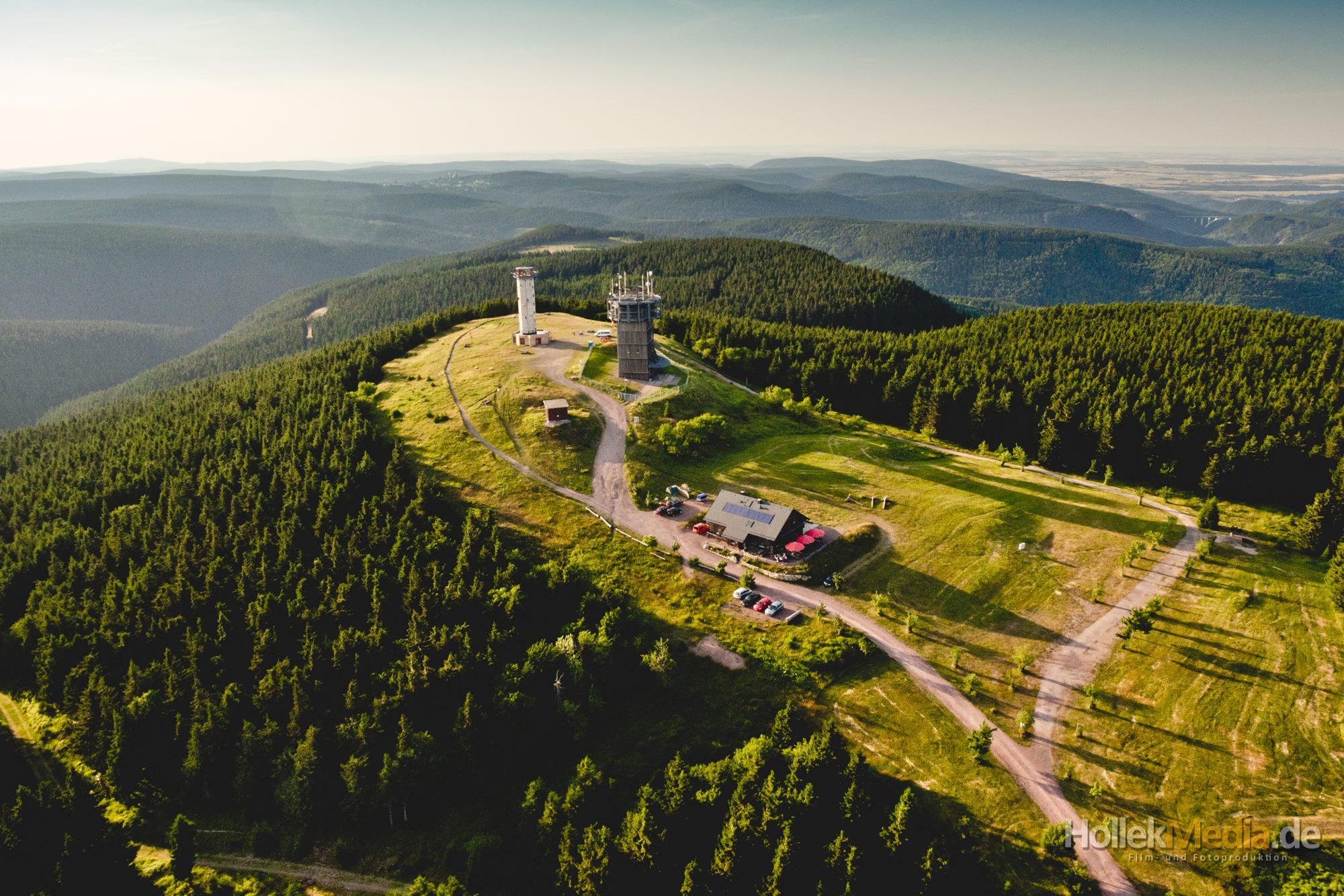
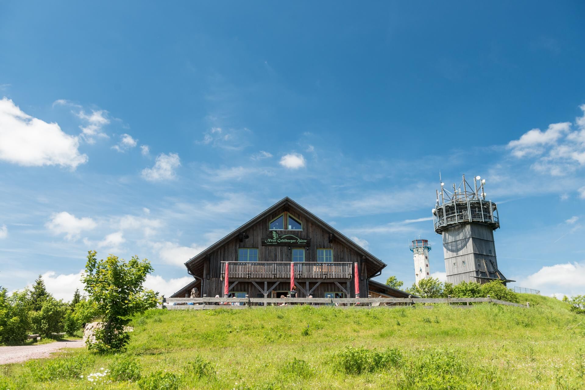
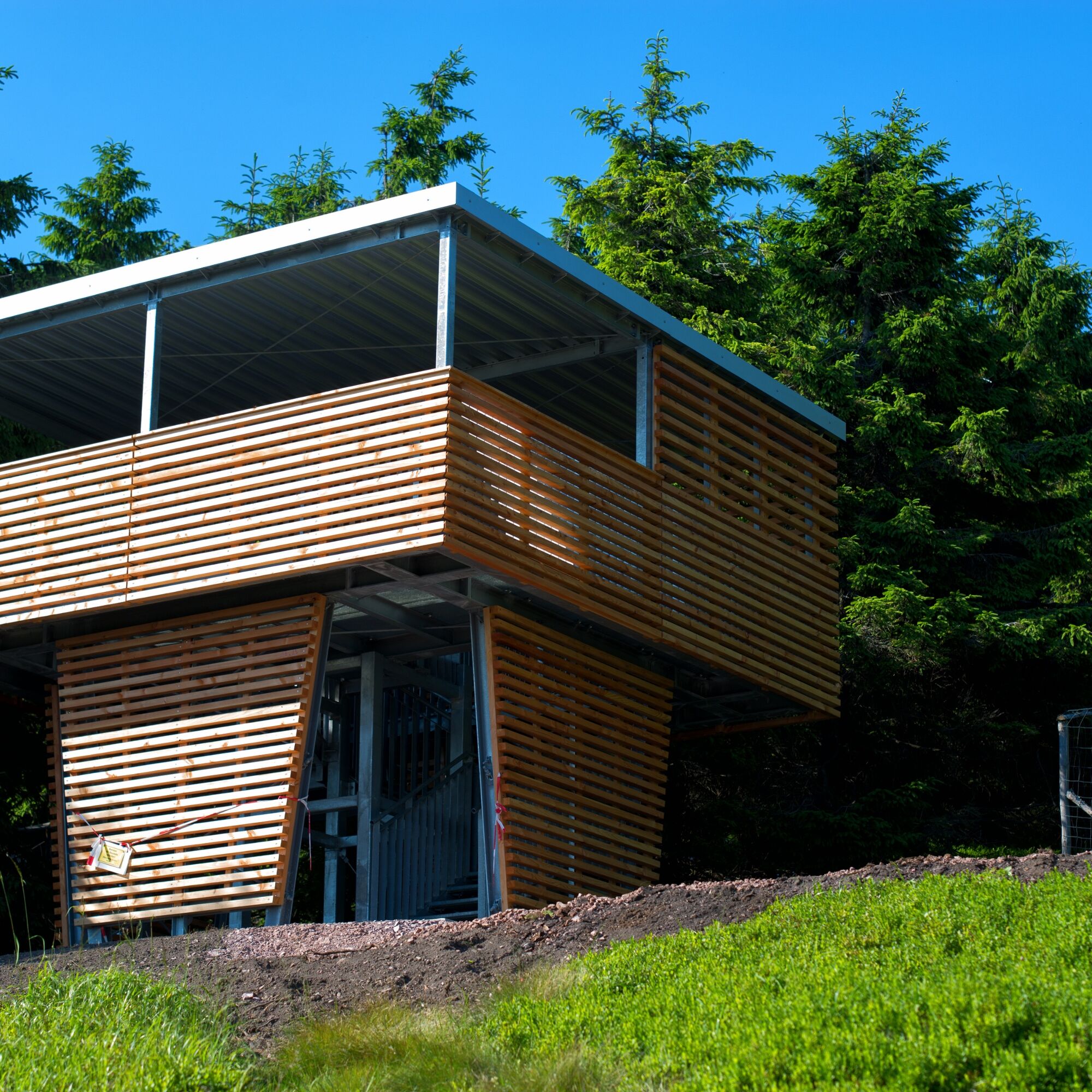
After Schmücke and past the Schneekopf view, you reach the Golden Bridge. From here begins one of the steepest stages to Teufelskanzel and finally to Schneekopf. Although only 978 m high, this mountain has a special feature: a lookout tower stands on it whose visitor platform is exactly 1001.1 m high. This makes it the highest viewing point in all Thuringia. Only the tip of the Inselsberg radio tower is higher.
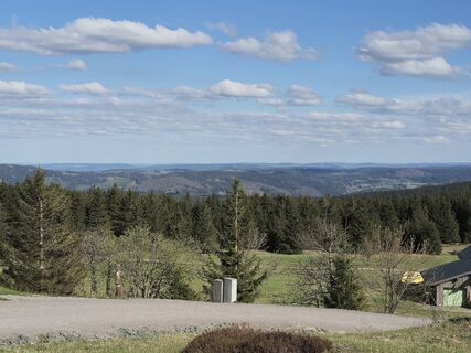
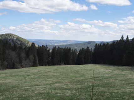
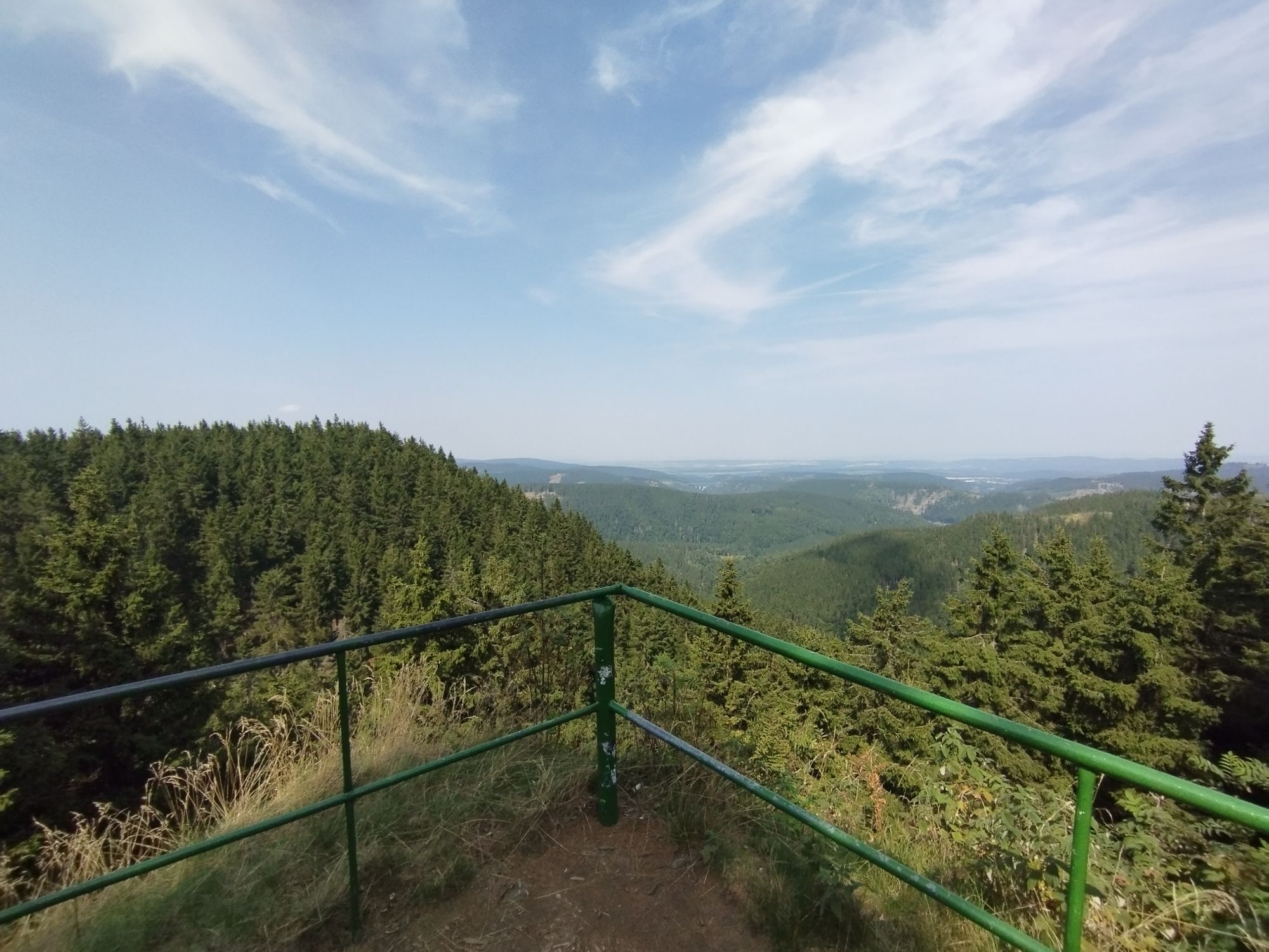
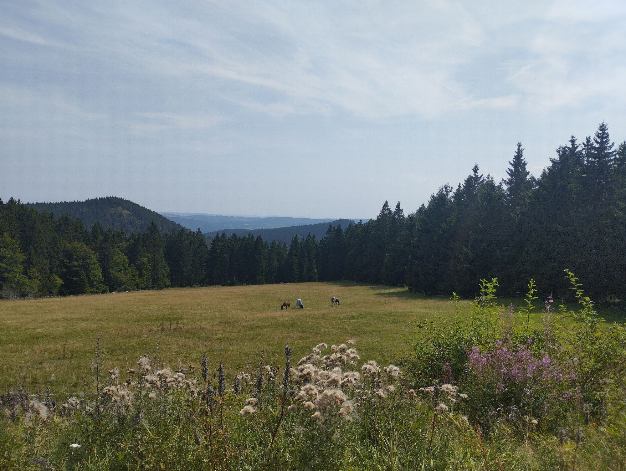
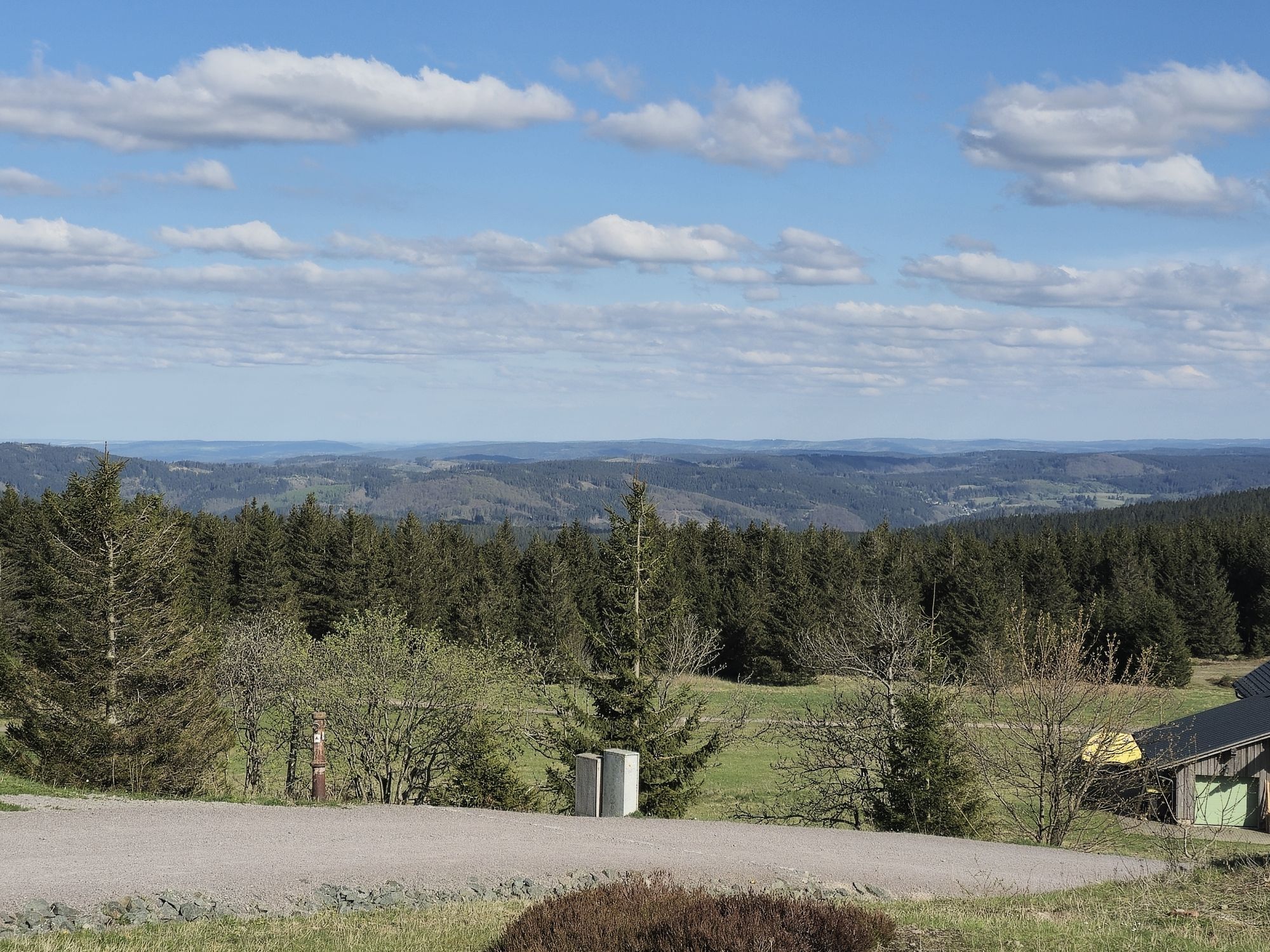
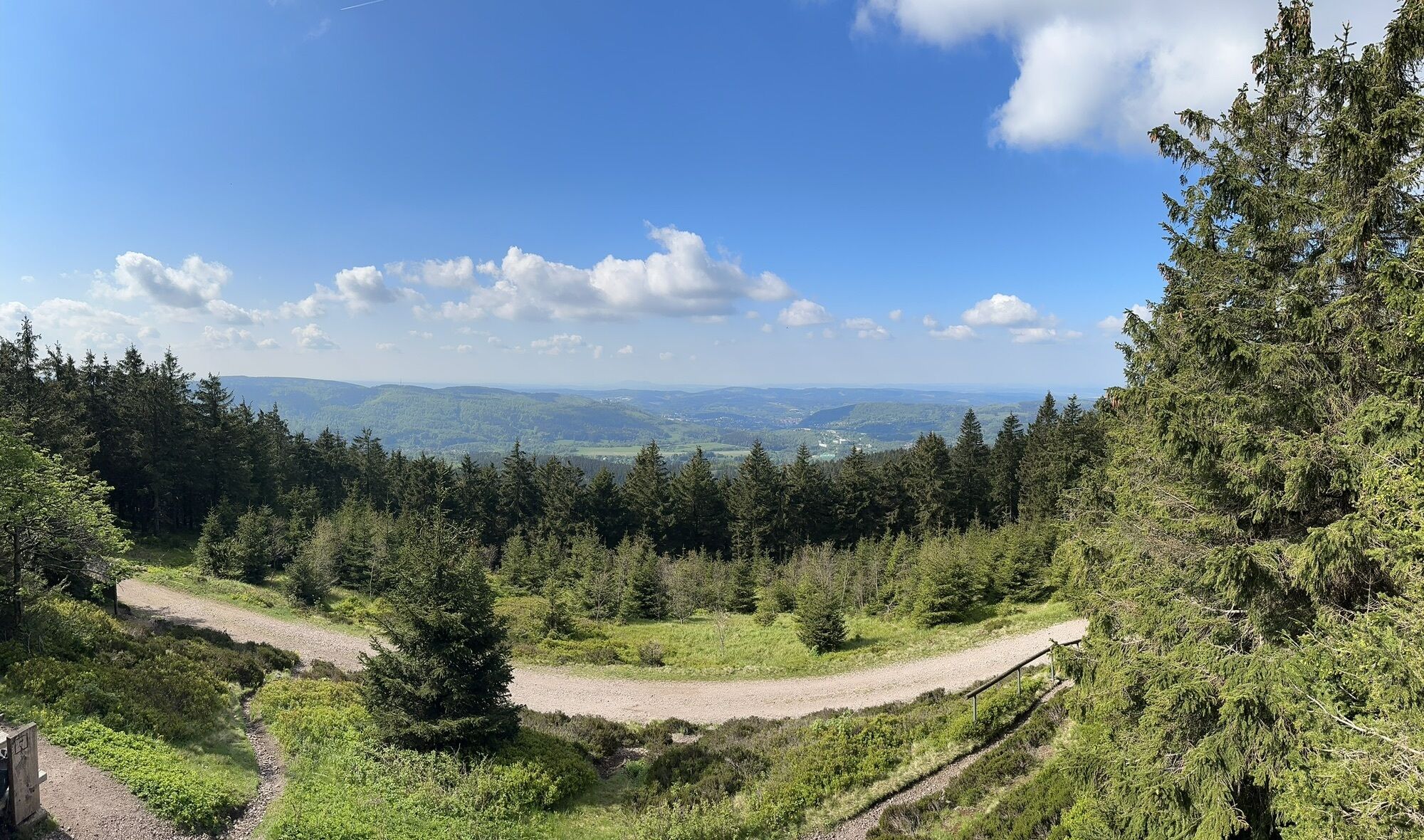
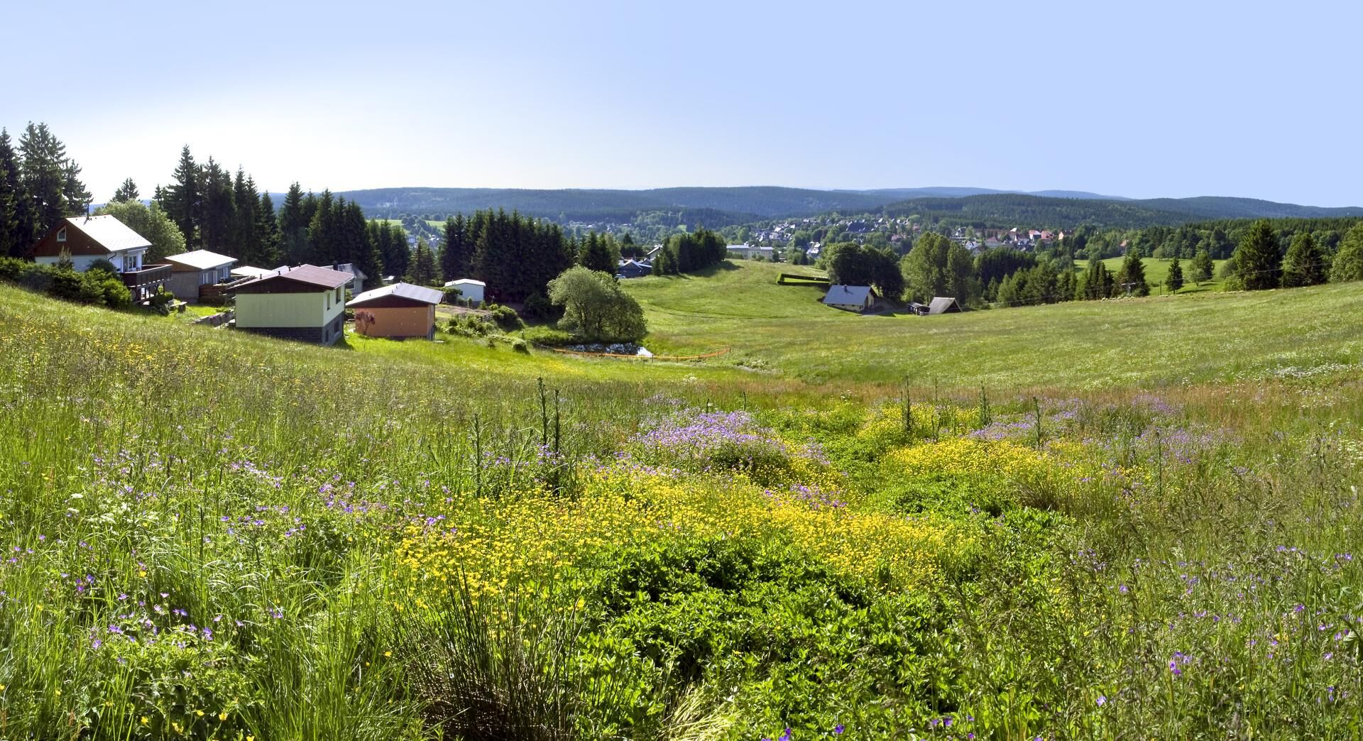
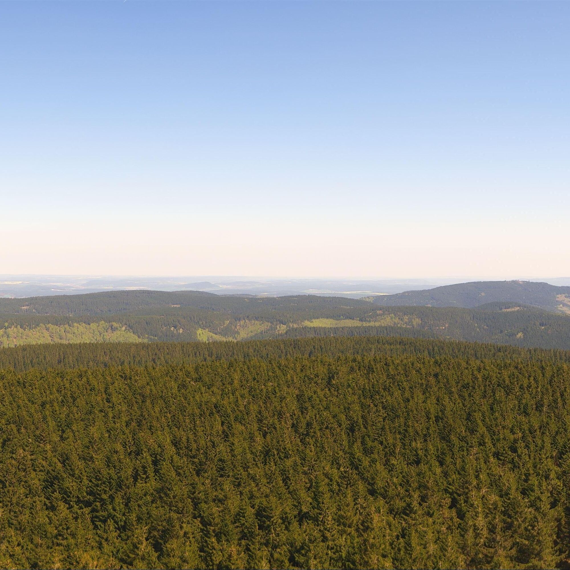
Following the Rosenkopf, the path leads initially downhill again. At Plänckners View below the Großer Beerberg (983 m), you have a magnificent view south towards Suhl and Zella-Mehlis to the west. From the Suhler rest stop it goes straight downhill past the Dietzen-Lorenz stone, passing the lower Beerberg to Skibaude Goldlauter.
The Rosenkopf Street finally leads you via the forest tavern at Geiersberg back to Goldlauter and the starting point of your route.


Parking lot Wegscheide - Kalte Herberge - Eisenberg (902 m) - Lift lodge Schmiedefeld - Crossroads - Großer Finsterberg (944 m) - Mordfleck - Borstenplatz - Herbert Roth memorial stone - Fichtenkopf (944 m) - Suhler hut - Schmücke - Sachsenstein (915 m) - Springs of the Gera - Seifartsburg, Devil's Pulpit - Schneekopf (978 m) - Rosenkopf (939 m) - Plänckners View - Großer Beerberg (982 m) - Suhler rest stop - Skibaude Goldlauter - Forest tavern at Geiersberg
Tak
Sturdy footwear, rainwear, drink reserve, first aid kit, GPS device
Always stay on the well-marked hiking trails.
Coming from A71 take exit 19 (Suhl / Zella-Mehlis) and continue on Gothaer Straße south towards the town center. After entering Suhl turn left (2x) towards Goldlauter.
You can reach Suhl by trains of Deutsche Bahn. From the bus station directly at the train station, you can take the bus line D1 to the stop "Goldlauter Bridge" to the starting point of the route.
Use the parking lot at Suhler Straße - turnoff Zellaer Str. (Google NAV point)
T2
The Gehlberger Hütte on the Schneekopf is the highest excursion restaurant in the Thuringian Forest - Fantastic view: Free of charge
Popularne wycieczki w okolicy
-
4,2
Rund um die Ohratalsperre
światłoWędrówka 14,5 km -
3,0
Circular hike - "4 ponds hike" Neustadt am Rennsteig - Thuringian Forest
ciężkiWędrówka 12,6 km -
3,8
Rundweg Talsperre
średniJazda na rowerze 14,5 km -
The Rennsteig - long-distance hiking trail from Hörschel to Blankenstein - Thuringian Forest
ciężkidługodystansowy szlak pieszy 169,0 km -
4,0
Circular hiking route "Oberschönauer Felsenwanderung" - Steinbach-Hallenberg - Thuringian Forest
ciężkiWędrówka 12,0 km -
4,0
Zu den Schanzen im Kanzlersgrund
średniWędrówka 9,58 km -
4,5
Hike over the Rennsteig & the Schneekopf to the Schmücke
ciężkiWędrówka 20,9 km -
Circular hike - Around the Schönbrunn reservoir - Thuringian Forest
średniWędrówka 15,6 km -
5,0
Circular Hiking Route - Lütsche-Flößgraben - Thuringian Forest
ciężkiWędrówka 13,8 km -
Circular hiking route - Ruppberg - Thuringian Forest
średniWędrówka 11,4 km

Wędrówki i tropienie


Nie przegap ofert i inspiracji na następne wakacje
Twój adres e-mail została dodana do listy mailingowej.