






Circular hike "Old Tambach Dam", Tambach-D., Thuringian Forest
Poziom trudności: T1
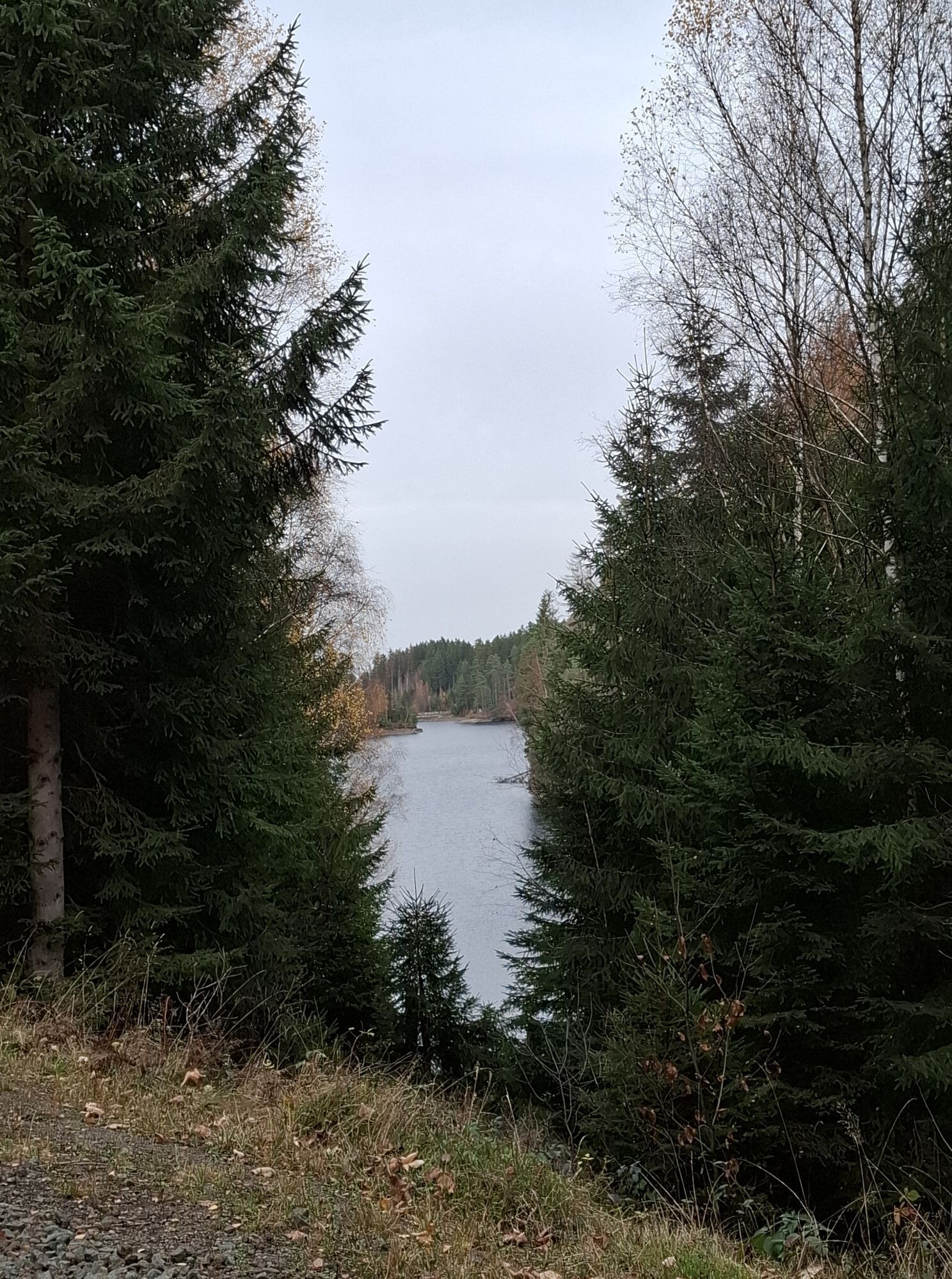
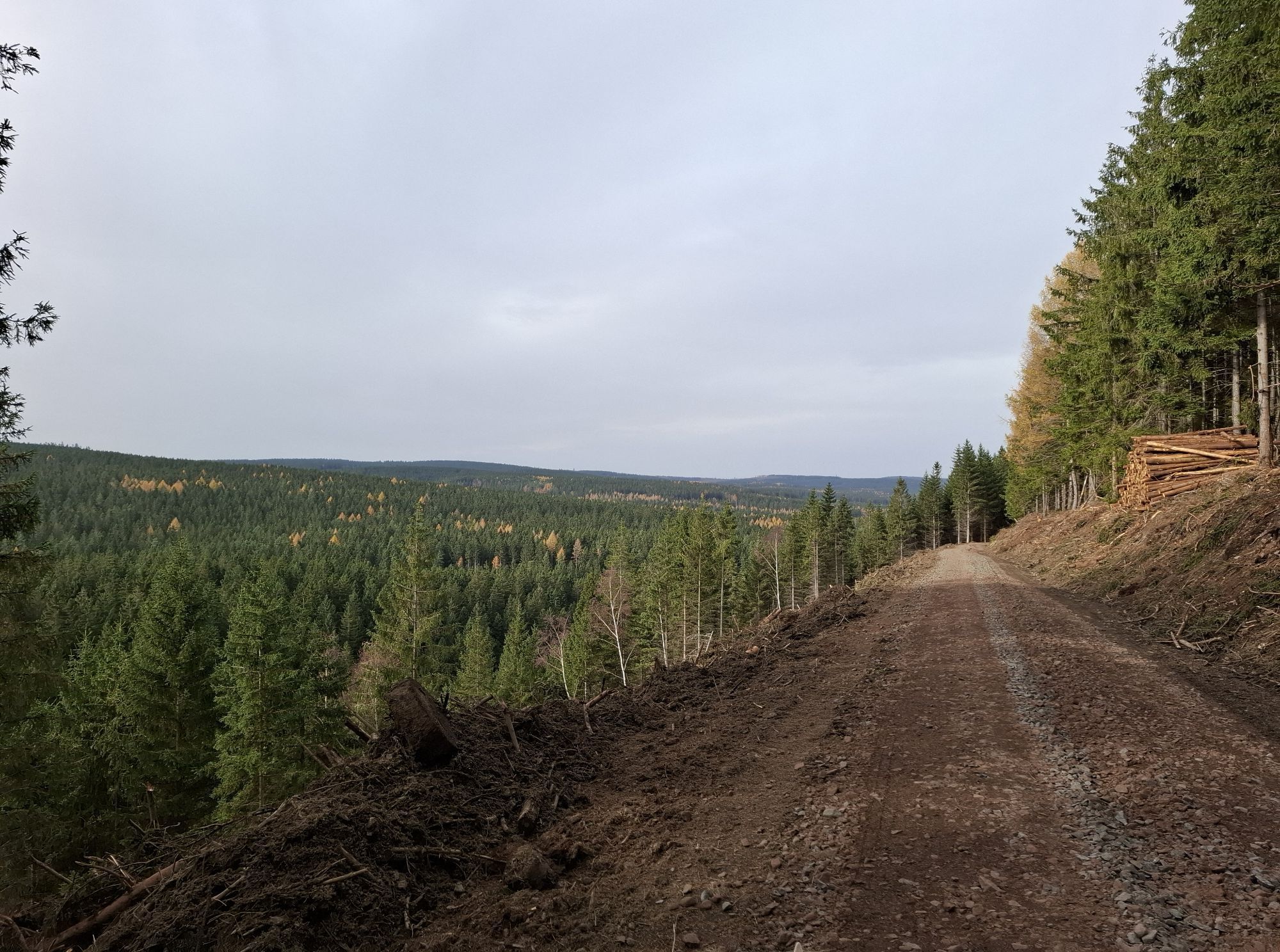
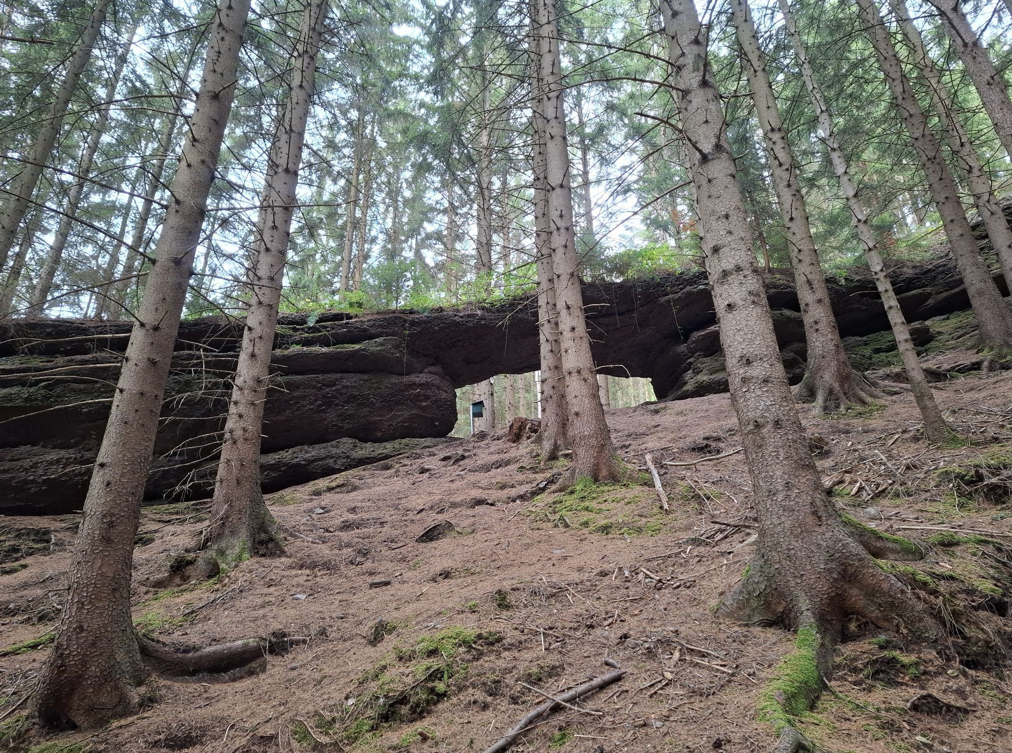
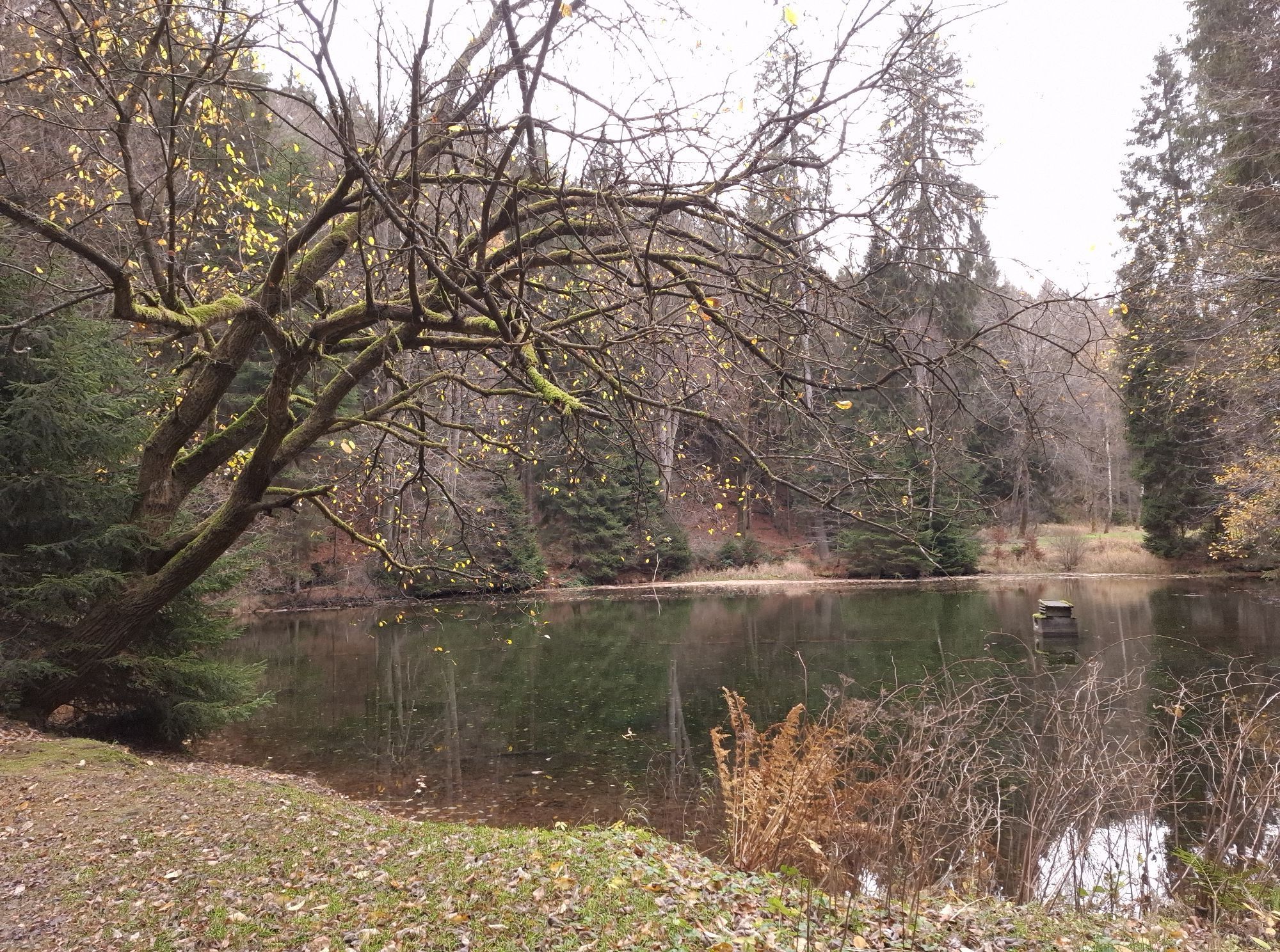
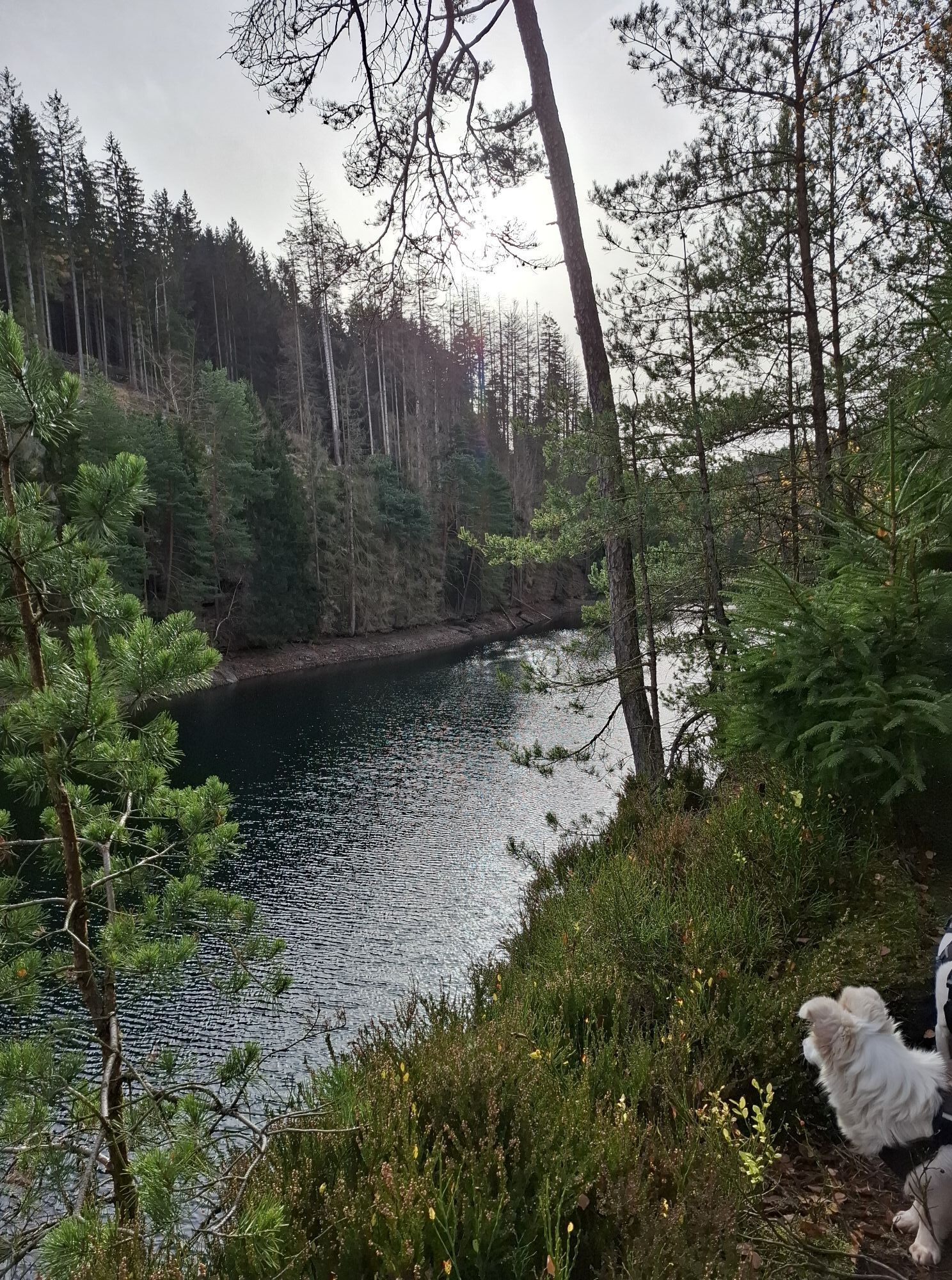
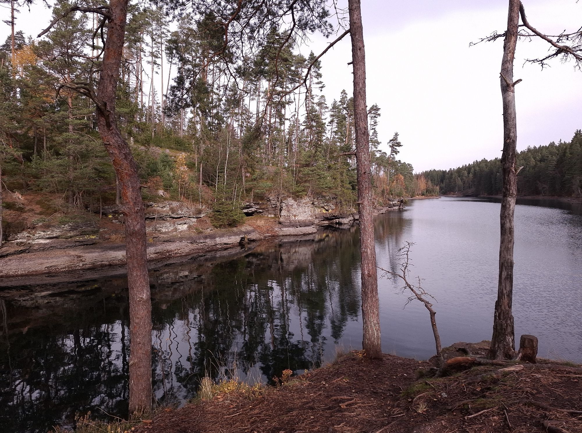
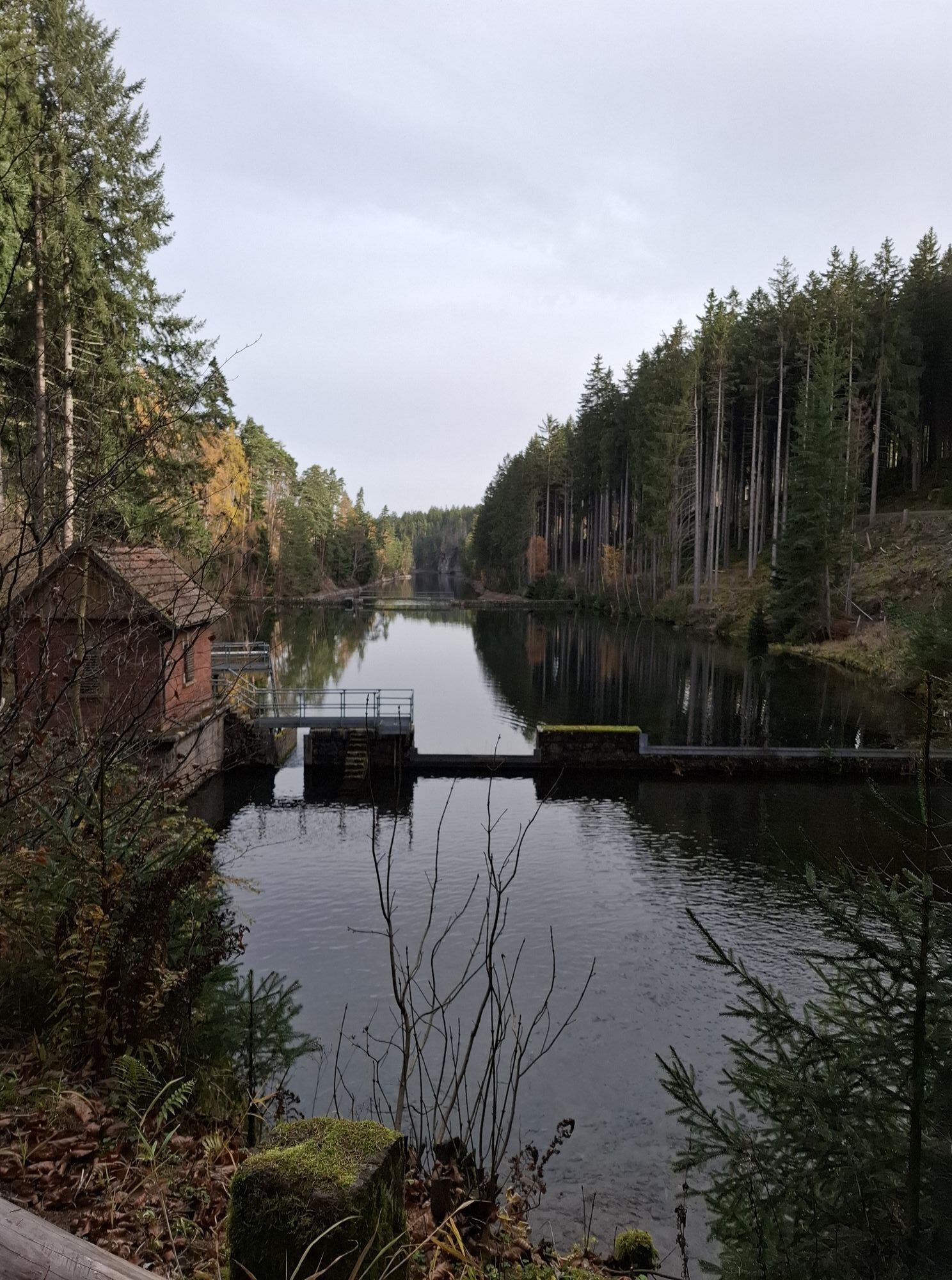
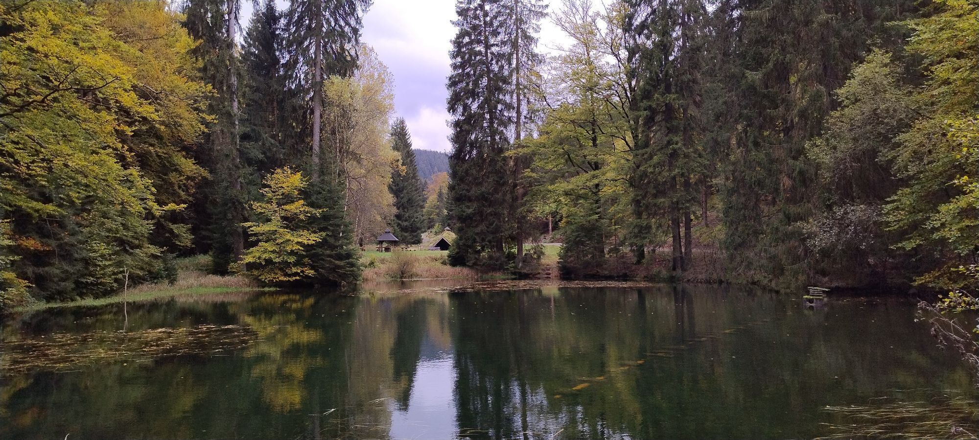
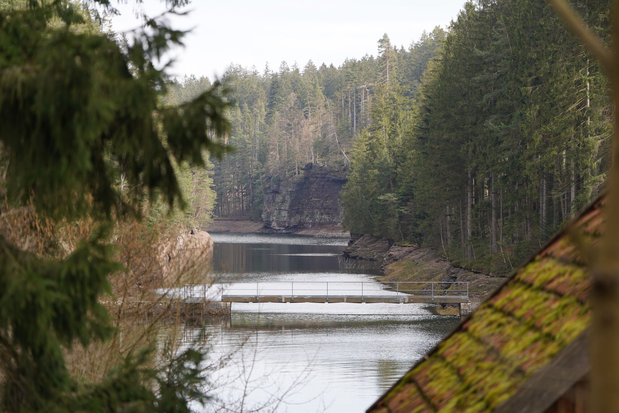
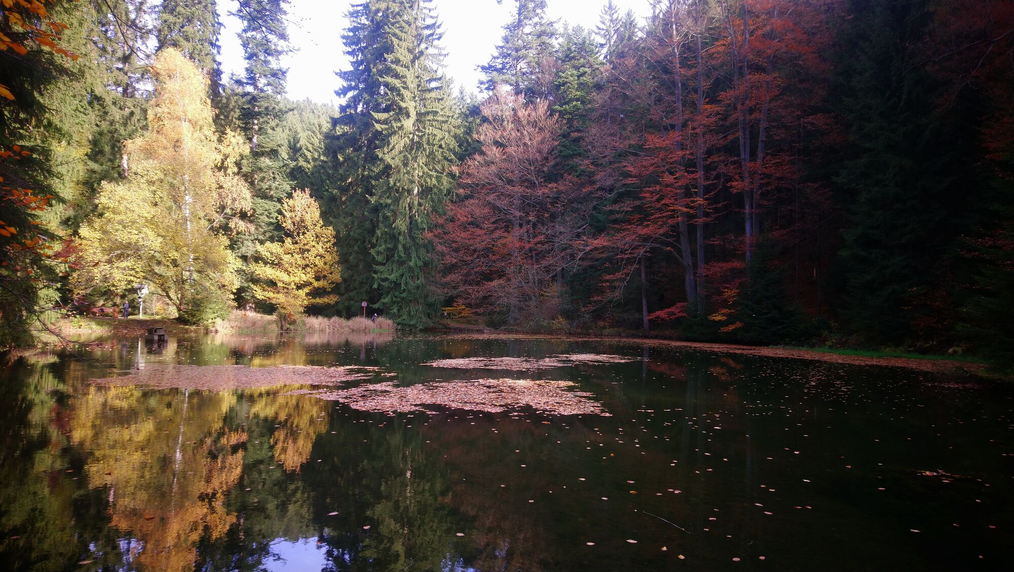
This popular route starts at the sports field. We walk a little downhill and at the crossroads keep left. The Wagenstädter Bridge offers a view of the Old Tambach Dam, Thuringia's oldest drinking water...
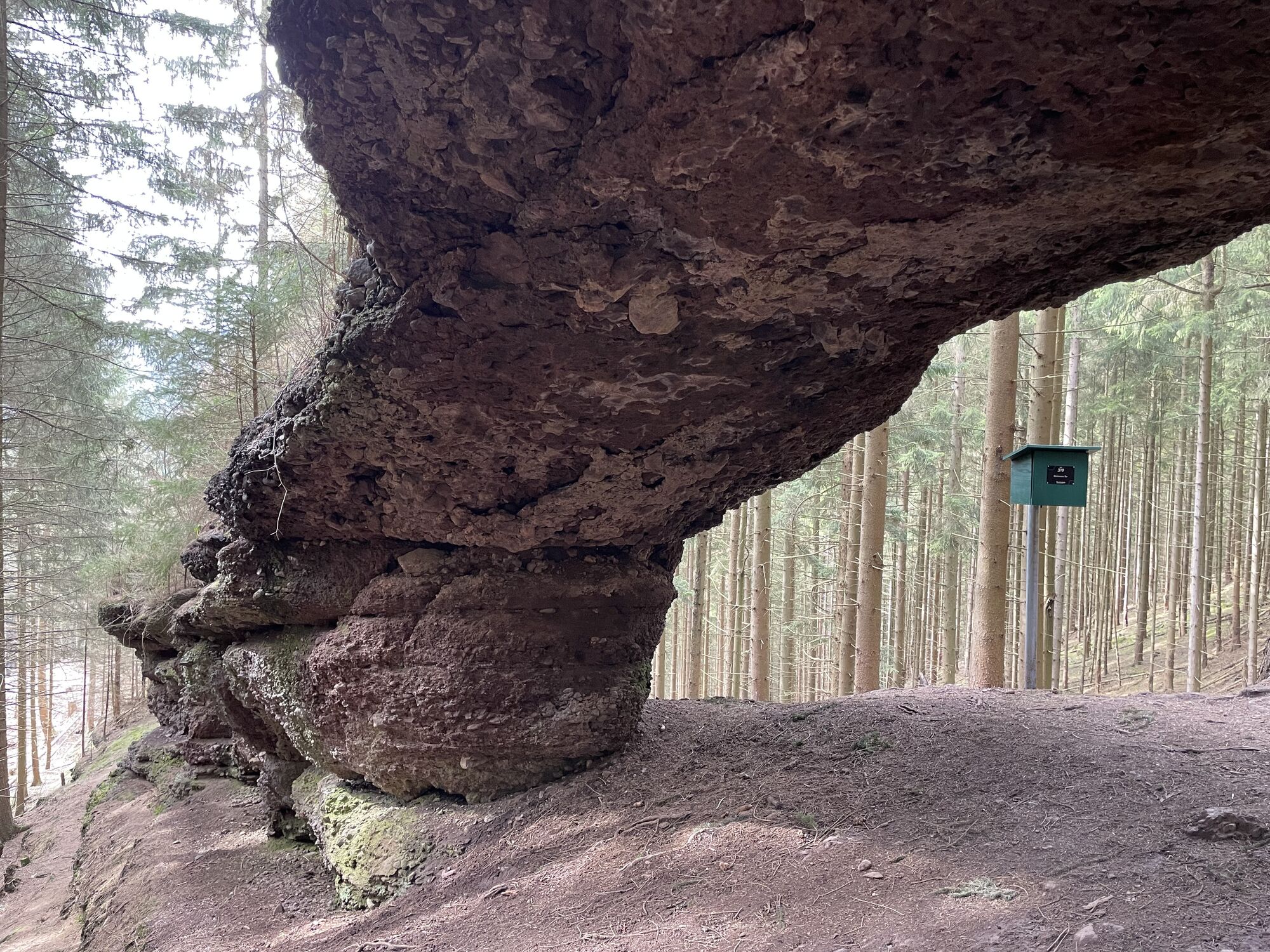
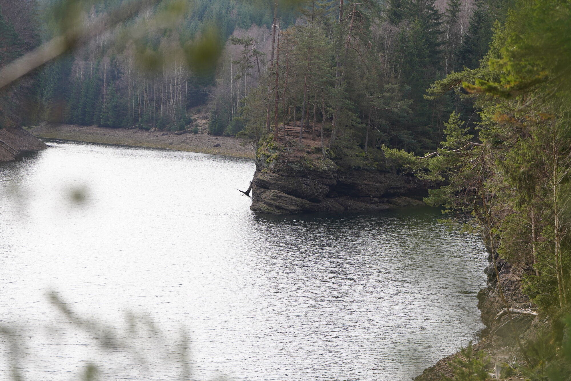
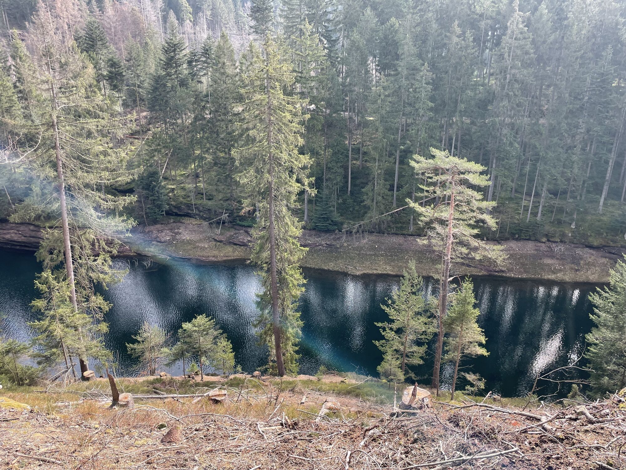
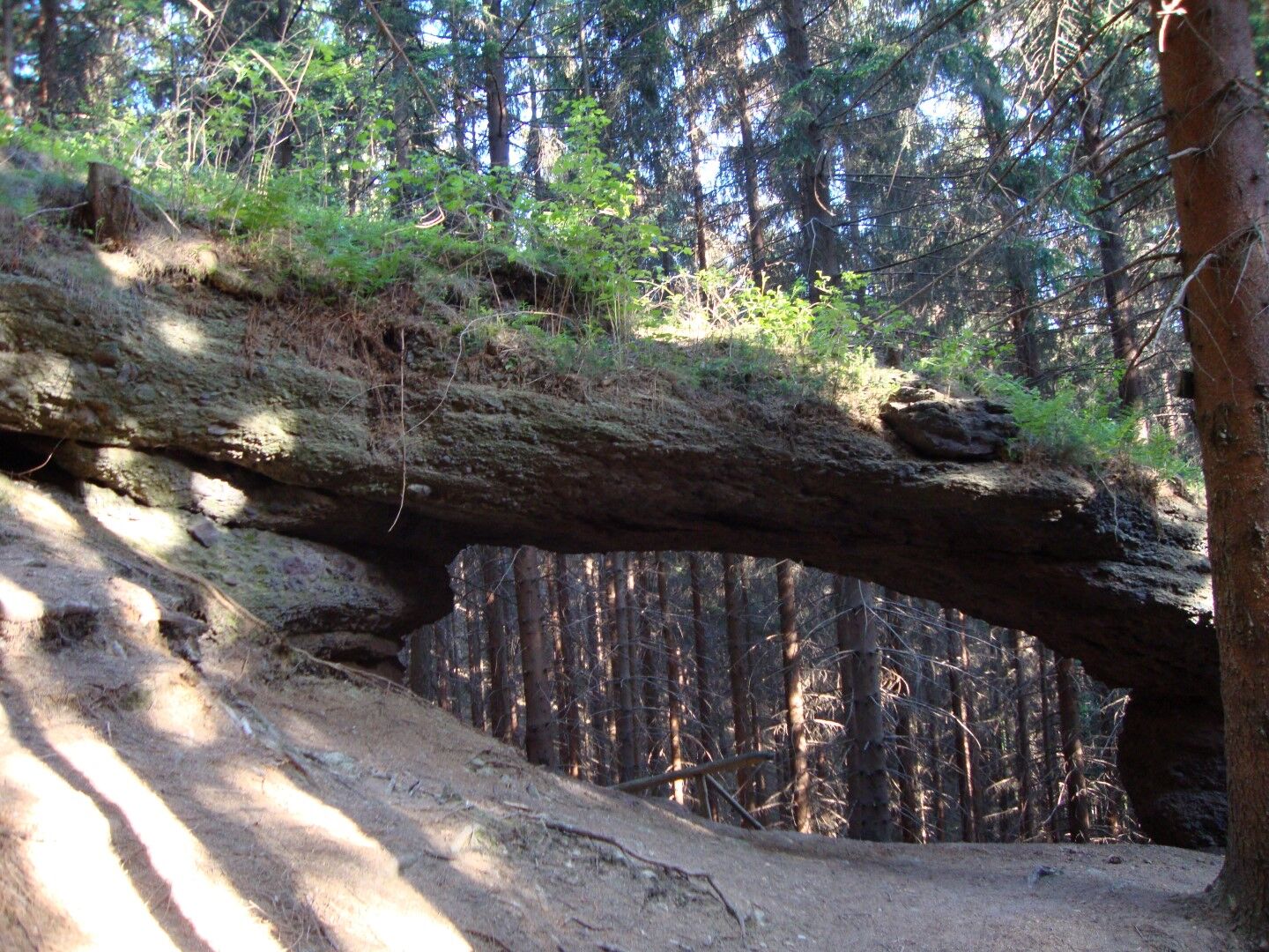
This popular route starts at the sports field. We walk a little downhill and at the crossroads keep left. The Wagenstädter Bridge offers a view of the Old Tambach Dam, Thuringia's oldest drinking water dam, as well as the Apfelstädt valley. We continue left and turn into the Mittelwasser valley. After a short time we reach the transfer tunnel of the Schmalwasser dam and shortly after the ascent "Muhalter Delle." At the Mittelwasser pond (raft pond laid out in the 16th century), you cross the pond dam toward the Stone Gate or take a short break at the Köhlerhütte. The Stone Gate is a rock gate over a man’s height, made of conglomerate rock, which was formed by erosion. After a short ascent, we reach a wide path - the Börnchens path. We keep left and after approx. 4.5 km reach the dam of the reservoir. Via Kirchstraße and Fuchsberg, we return to the starting point.

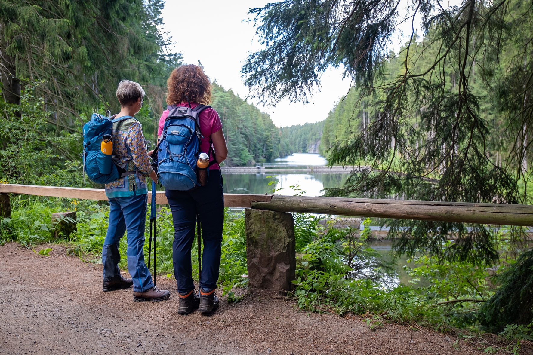
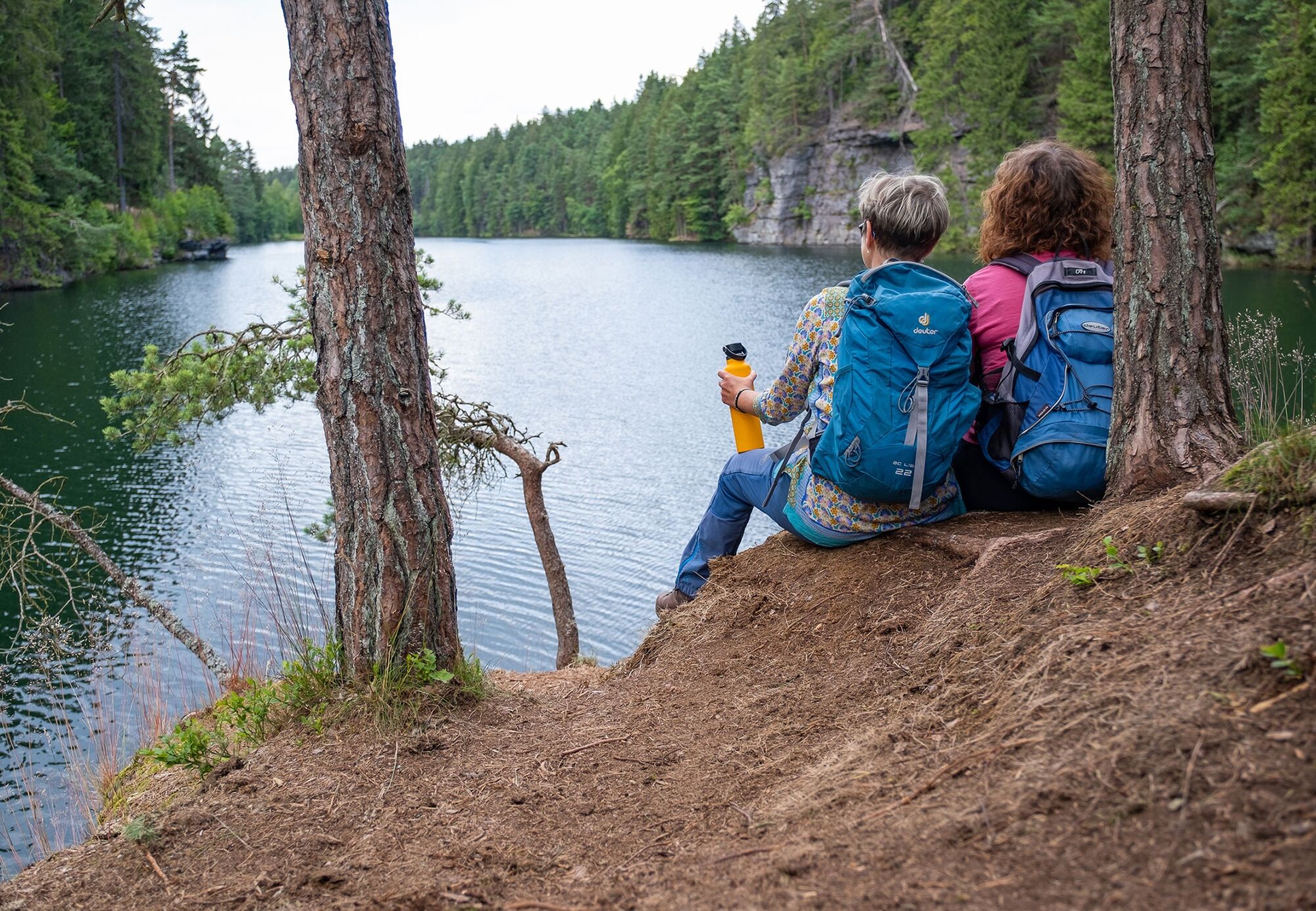
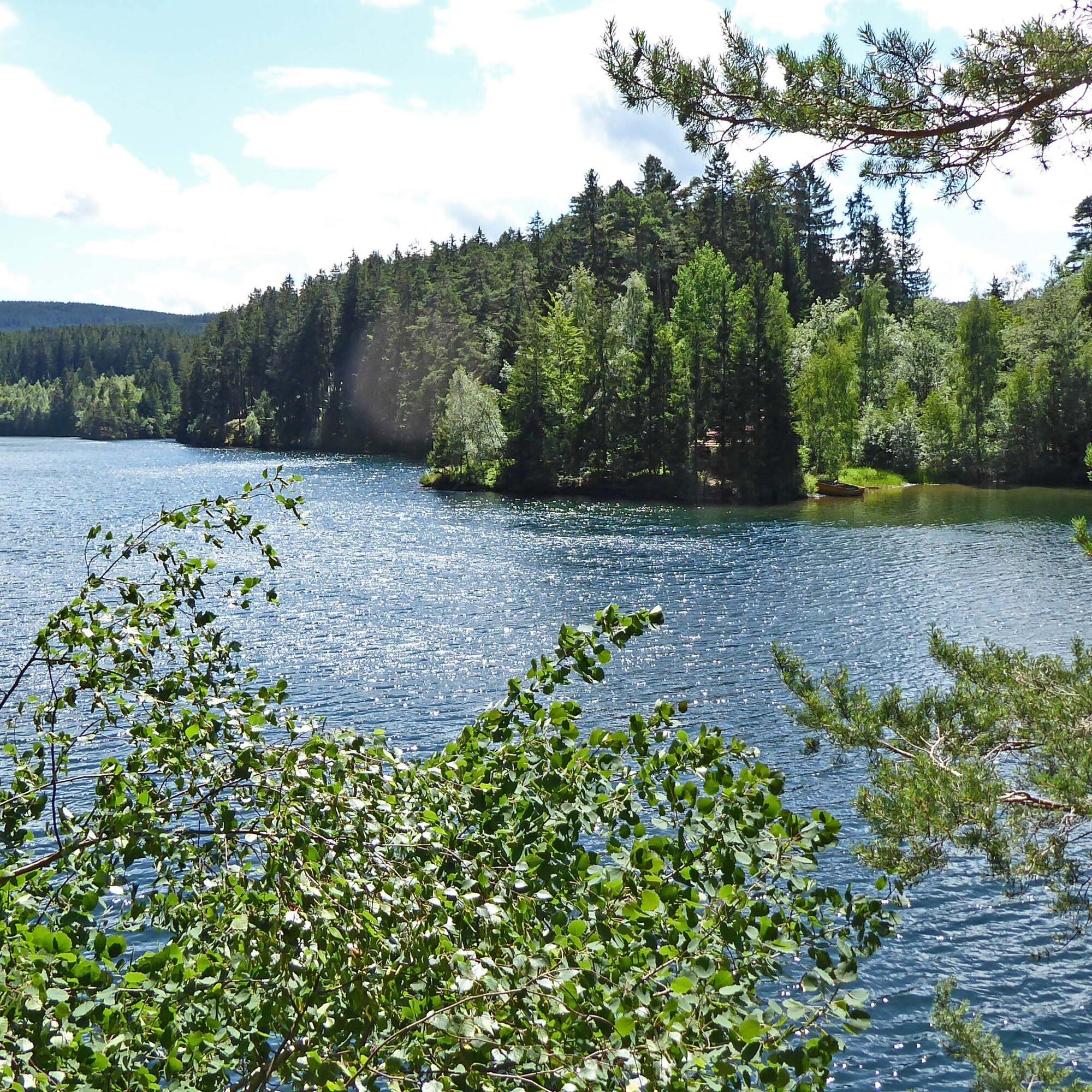

Sports field - Gruhweg - Mittelwasser Valley - transfer tunnel - ascent "Muhalter Delle" - Mittelwasser pond - Stone Gate - Börnchen Path - dam - mountain church - dam road - sports field
Tak
sturdy footwear
weather-appropriate clothing
first aid kit
possibly trekking poles
Motorway A4 - exit Gotha, B247 towards Ohrdruf/ Oberhof, turnoff Hohenkirchen, B88 to Georgenthal, exit Tambach-Dietharz at the Georgenthal junction
Motorway A71 - exit Oberhof and Gräfenroda
Use the Deutsche Bahn travel planner for trip planning to Tambach Dietharz via this link:
from the Tammichgrund stop - Steinbacher Street - sports field (about 15 min)
Please check the local transport timetables beforehand as shuttle service is limited on weekends.
Parking lot at the sports field on Apfelstädter Street, 99897 Tambach-Dietharz
T1






Popularne wycieczki w okolicy
-
4,2
Rund um die Ohratalsperre
światłoWędrówka 14,5 km -
4,5
Summit and panoramic route - Route 1 - Bad Tabarz
średniWędrówka 10,9 km -
3,8
Wanderung zum Spitterfall
średniWędrówka 14,6 km -
4,8
Circular hike - Schmalwasser reservoir - Tambach-Dietharz - Thuringian Forest
średniWędrówka 13,8 km -
4,0
Zu den Schanzen im Kanzlersgrund
średniWędrówka 9,58 km -
Tabarzer Vulkansteig
średniWędrówka 9,91 km -
4,0
Circular hiking route "Oberschönauer Felsenwanderung" - Steinbach-Hallenberg - Thuringian Forest
ciężkiWędrówka 12,0 km -
4,5
Hike over the Rennsteig & the Schneekopf to the Schmücke
ciężkiWędrówka 20,9 km -
3,2
Von Friedrichroda zum großen Inselsberg
średniWędrówka 22,4 km -
4,5
Circular hiking trail - "Trusetal Landmark Route" - Thuringian Forest
światłoWędrówka 4,02 km
Wędrówki i tropienie


Nie przegap ofert i inspiracji na następne wakacje
Twój adres e-mail została dodana do listy mailingowej.





