






Summit and panoramic route - Route 1 - Bad Tabarz
Poziom trudności: T2
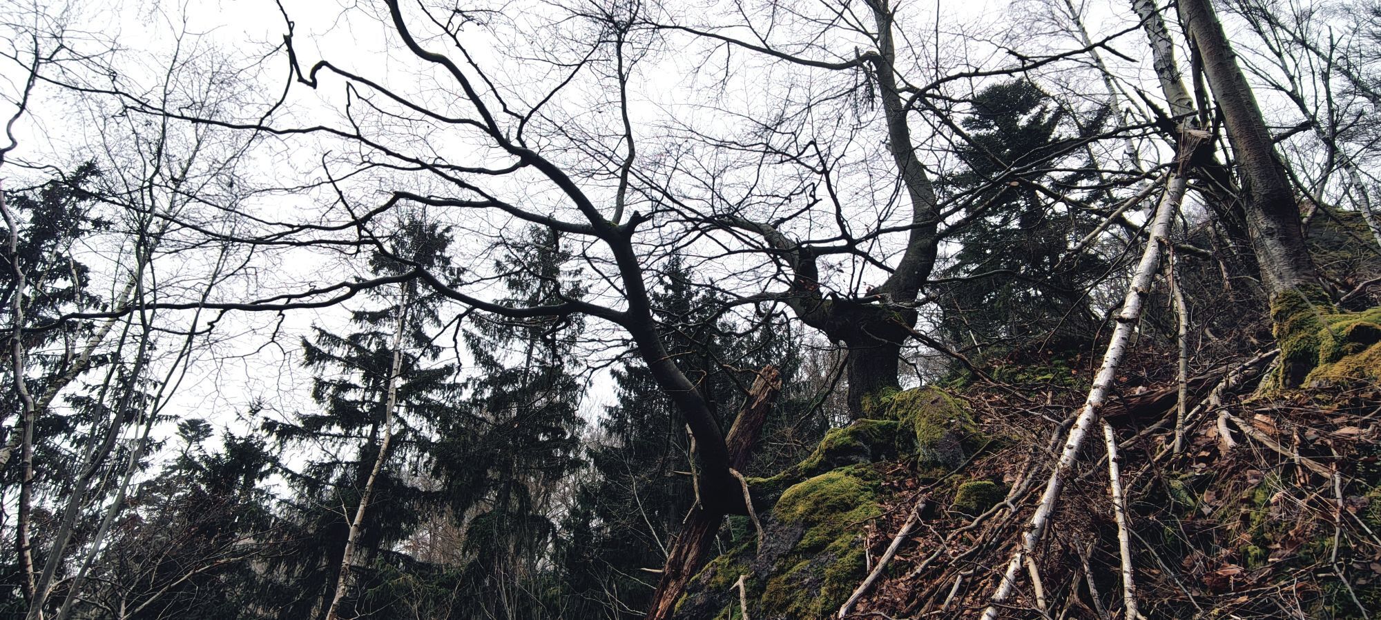
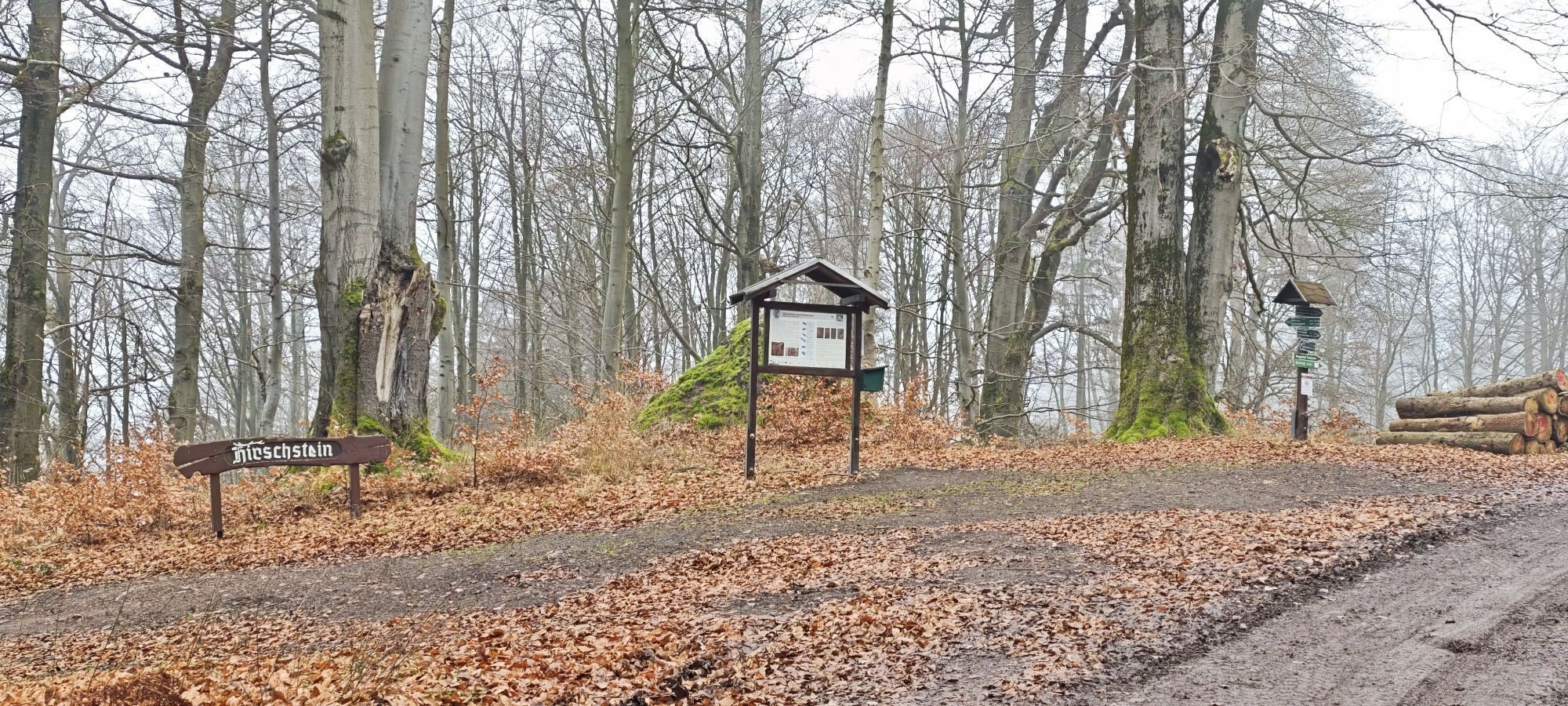
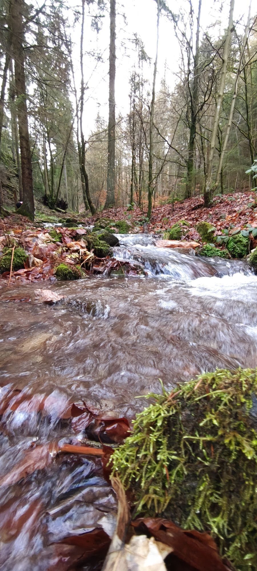
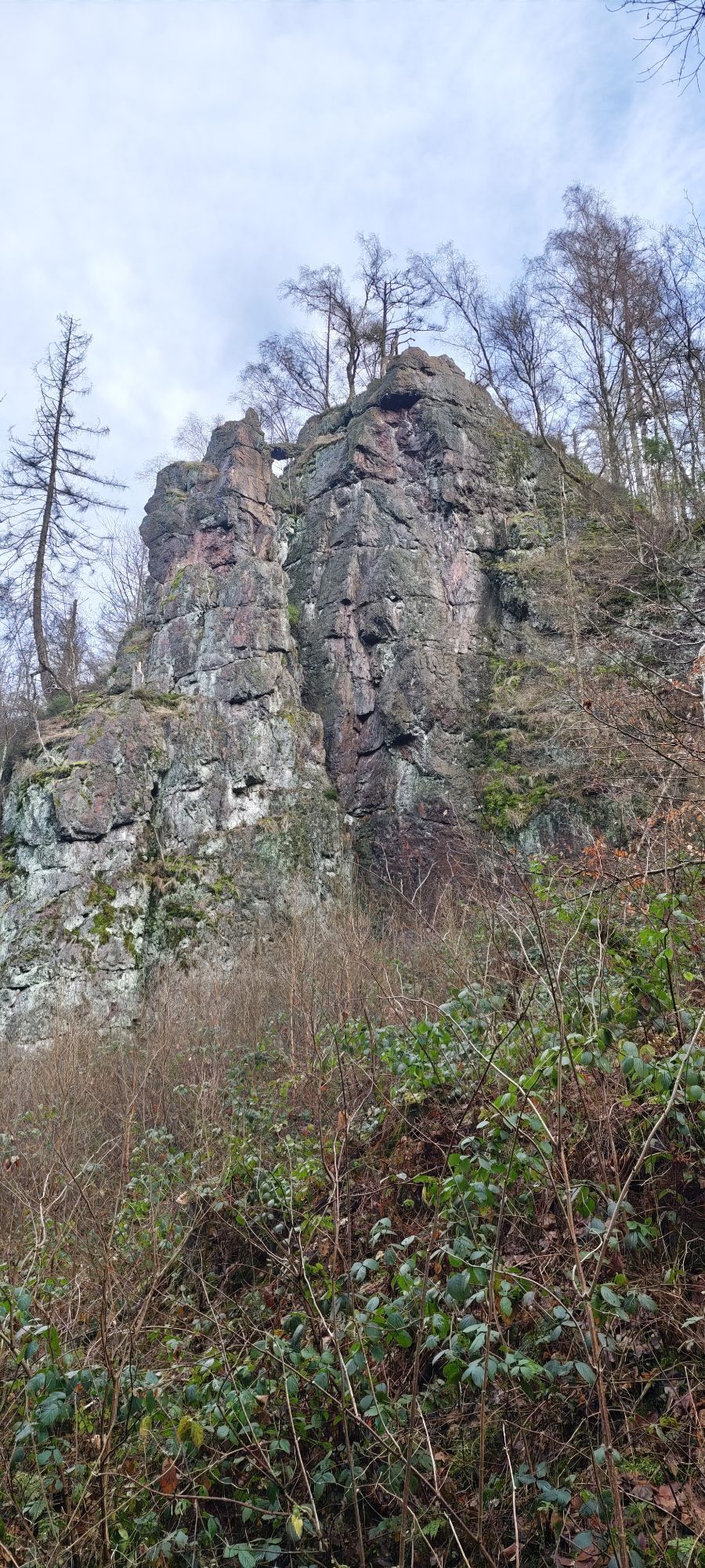


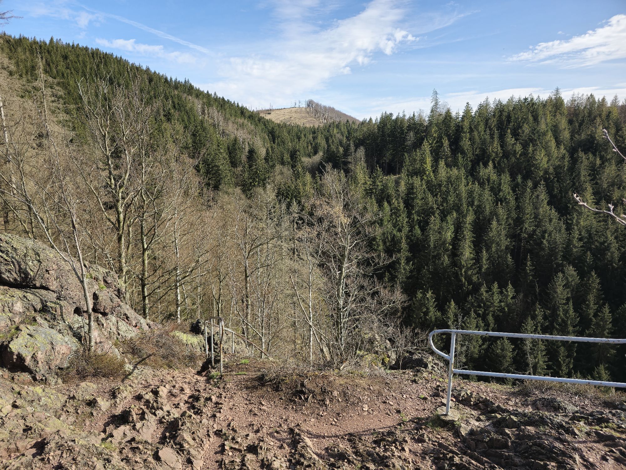
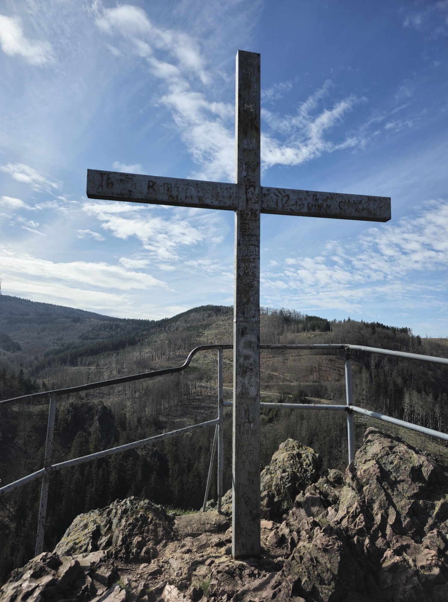
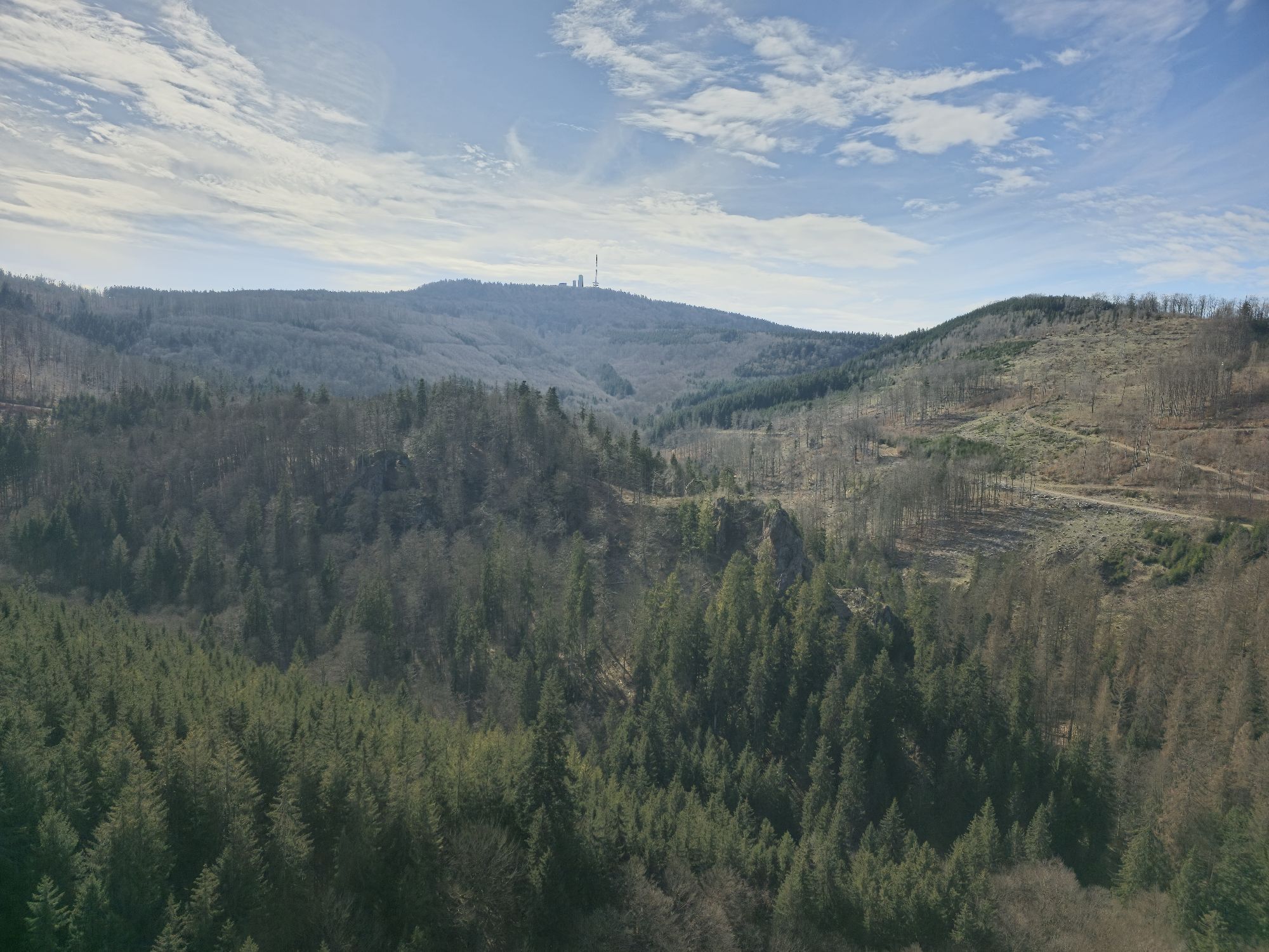
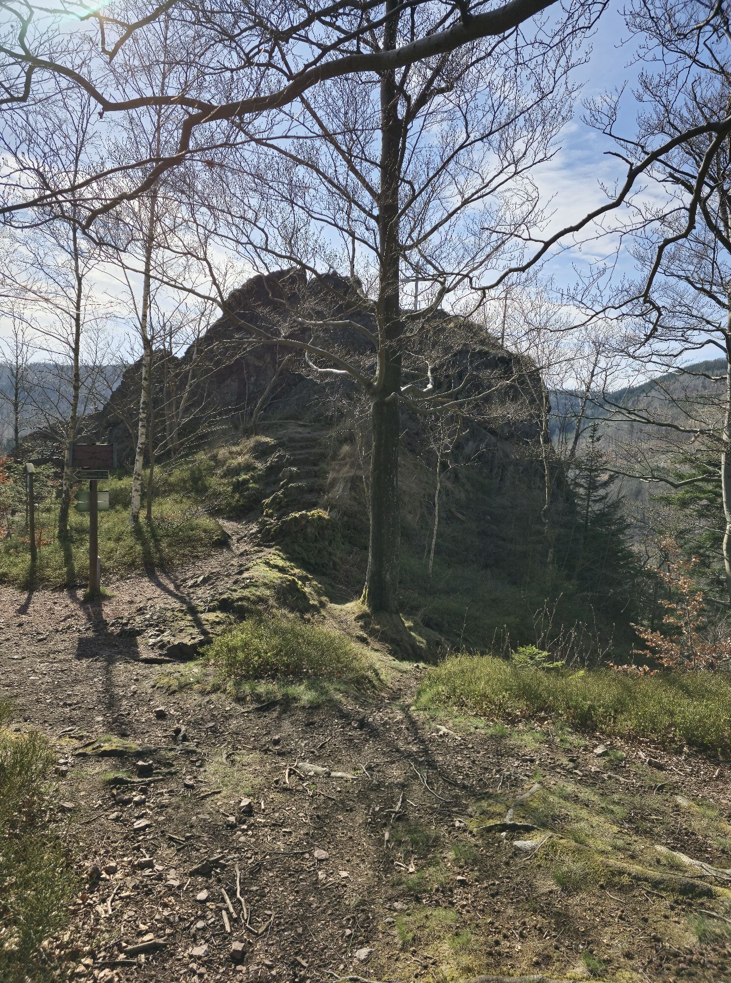
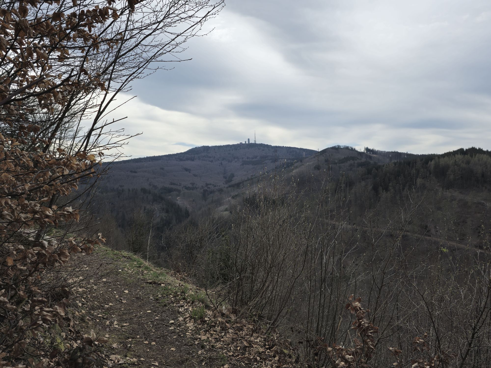
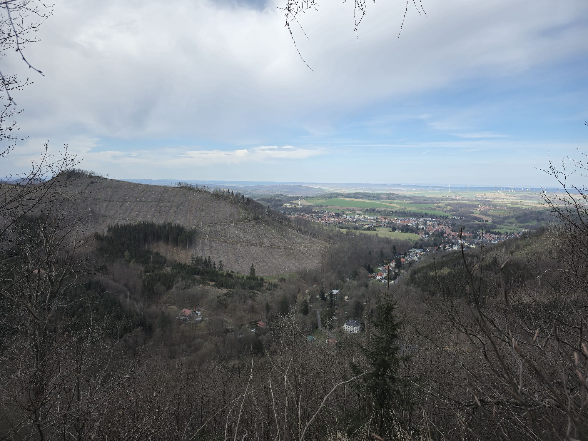
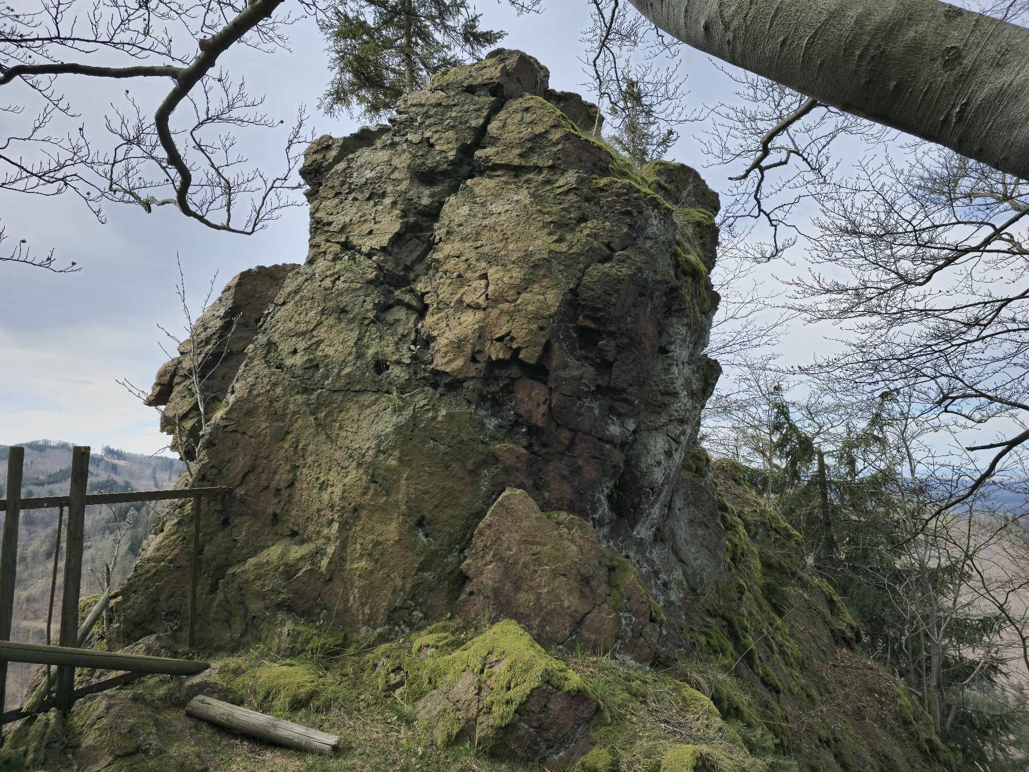
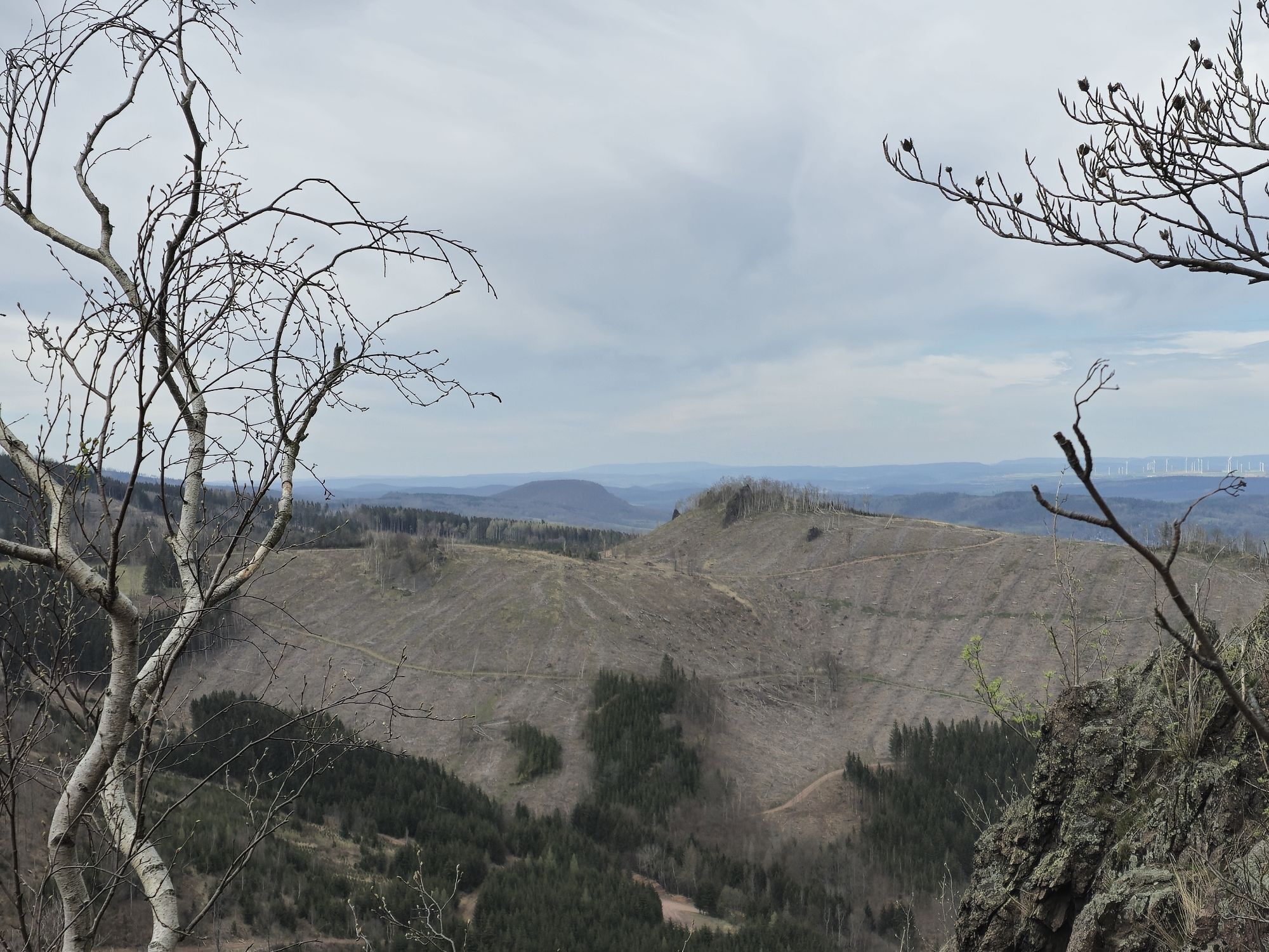
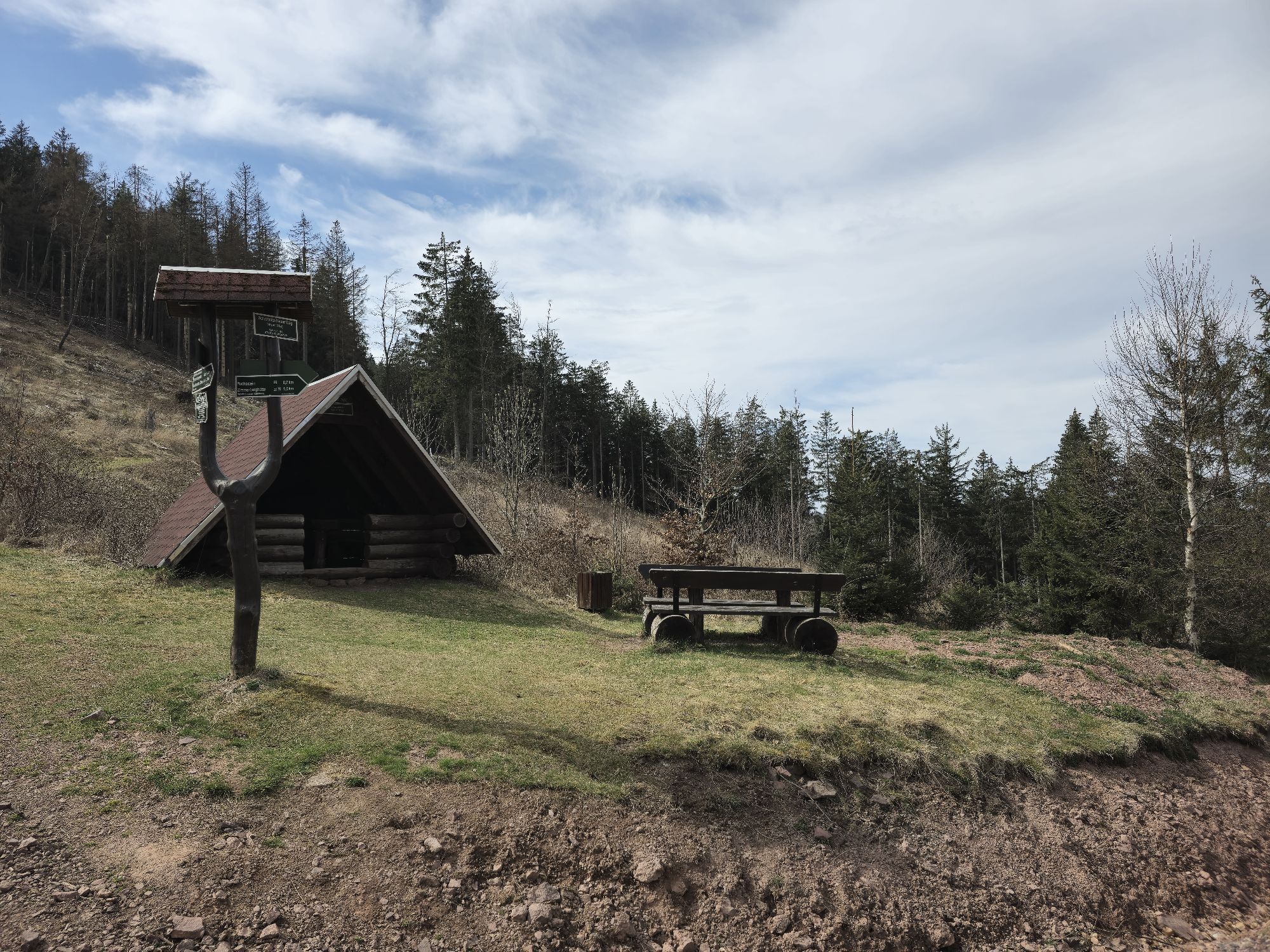
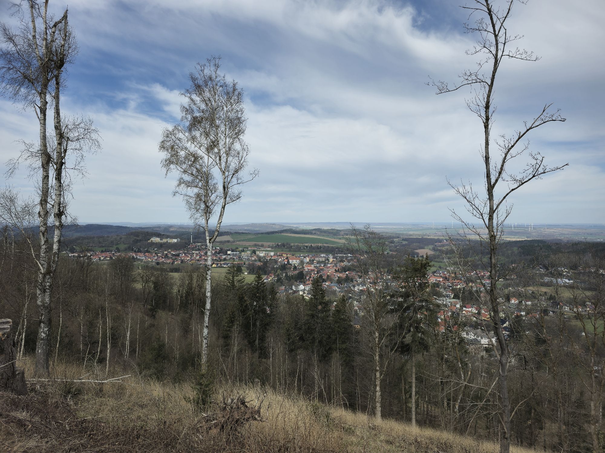
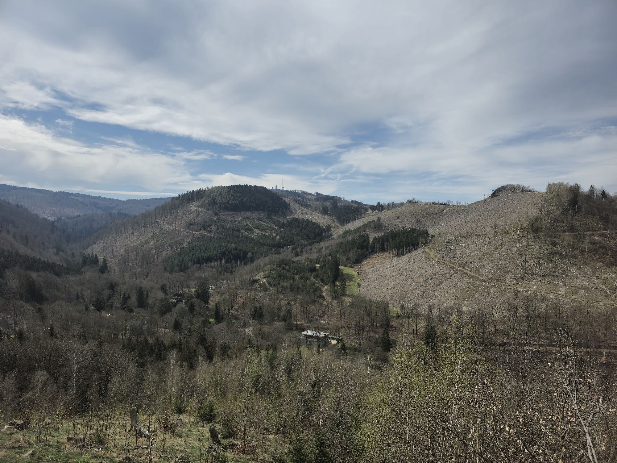
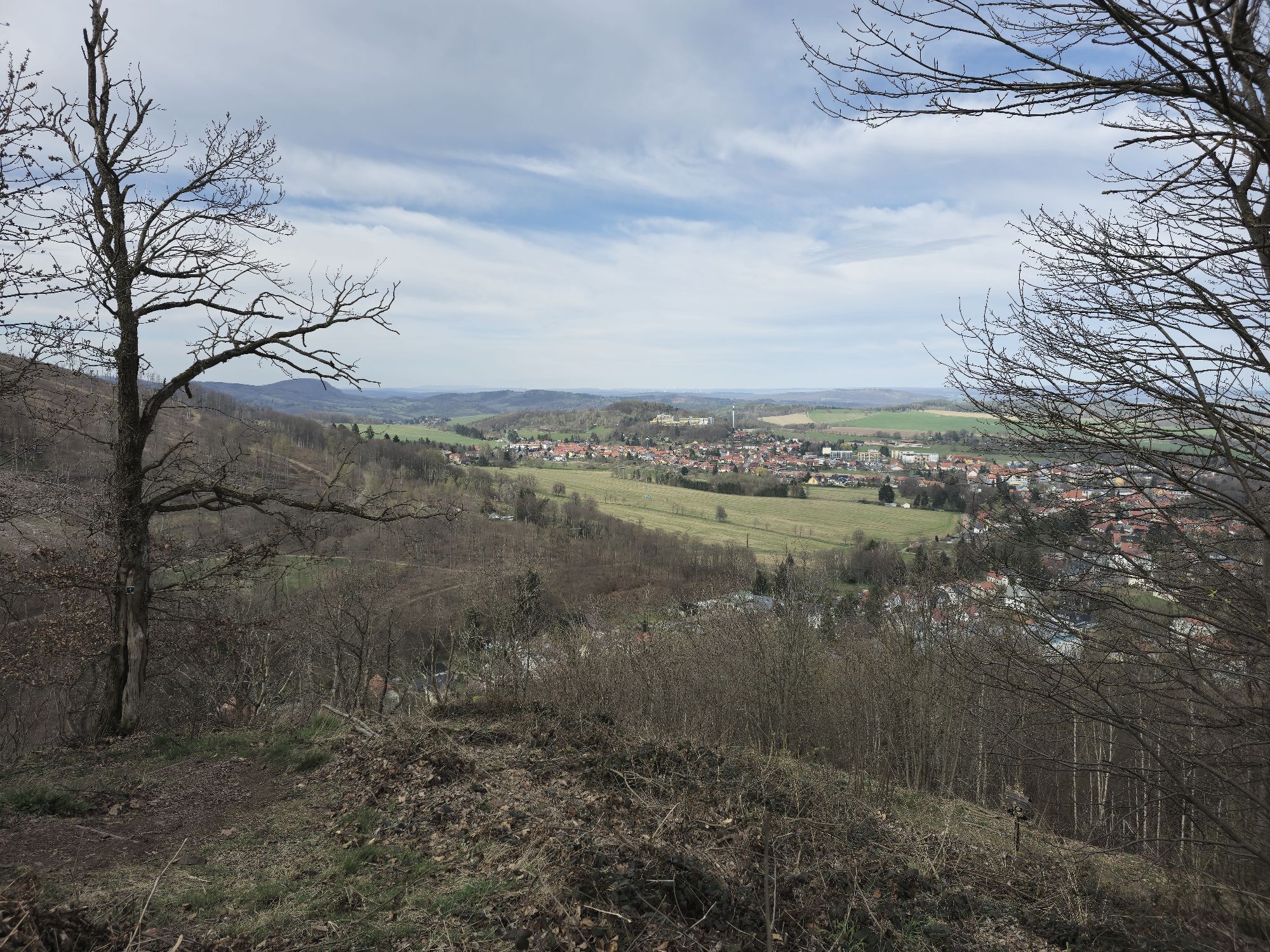
The route starts at the hiking meeting point (behind the hotel Zur Post) in Bad Tabarz. From there it goes towards Theodor Neubauer Park. Then turn right into Zimmerberg street. Cross it, turn into the...
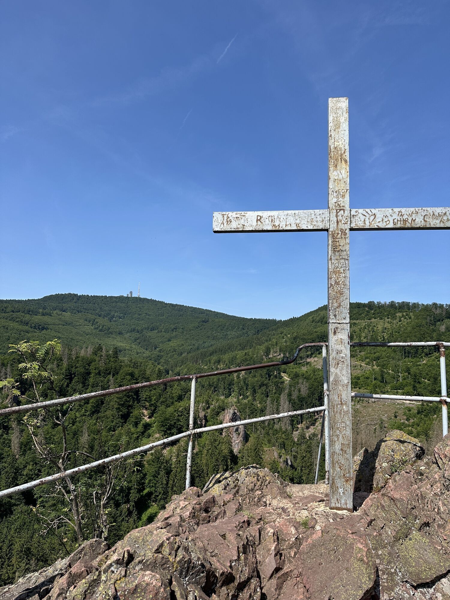
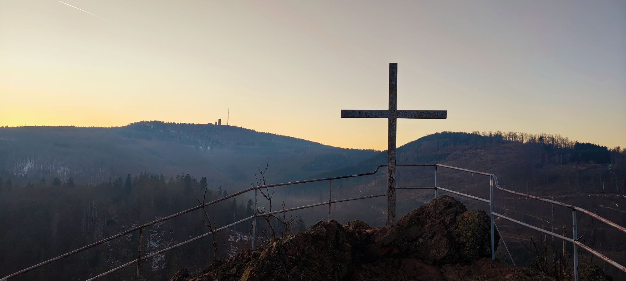
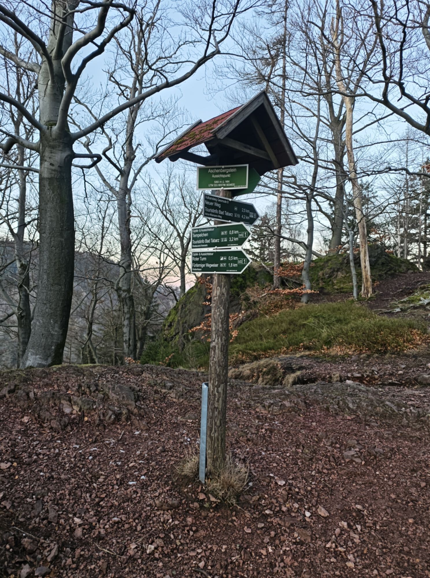
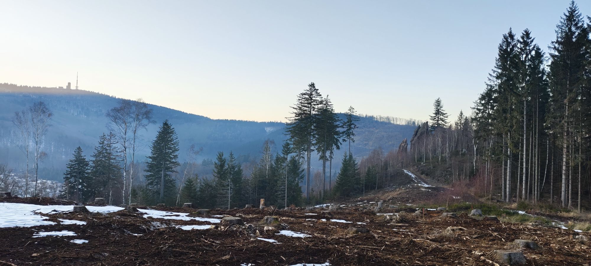
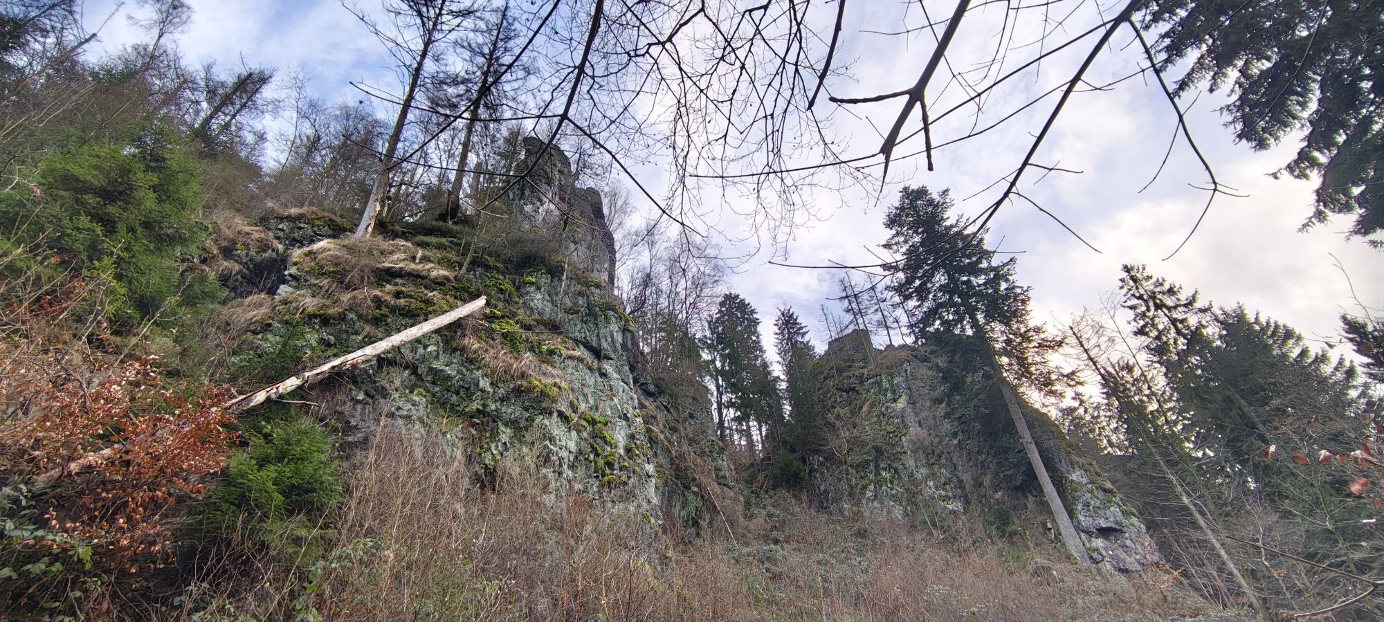
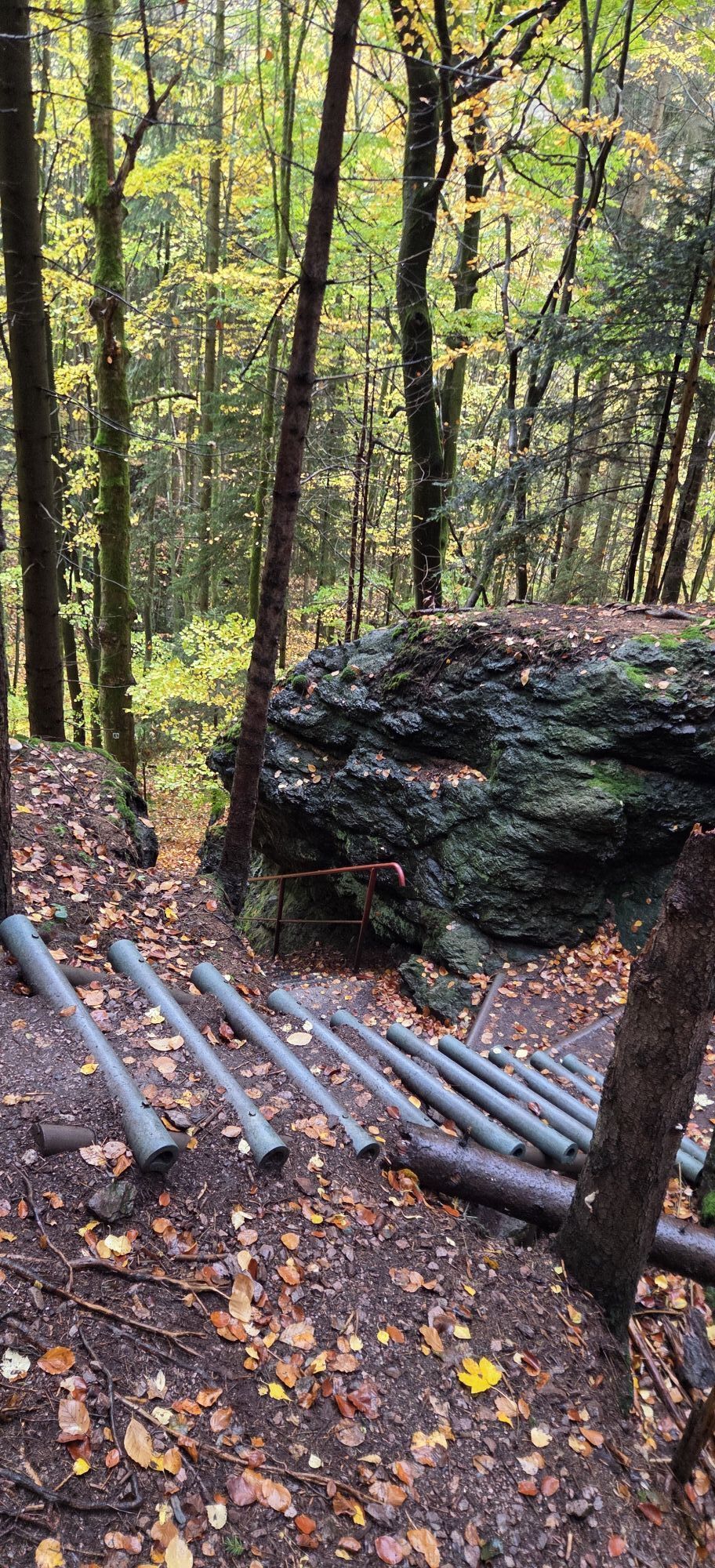
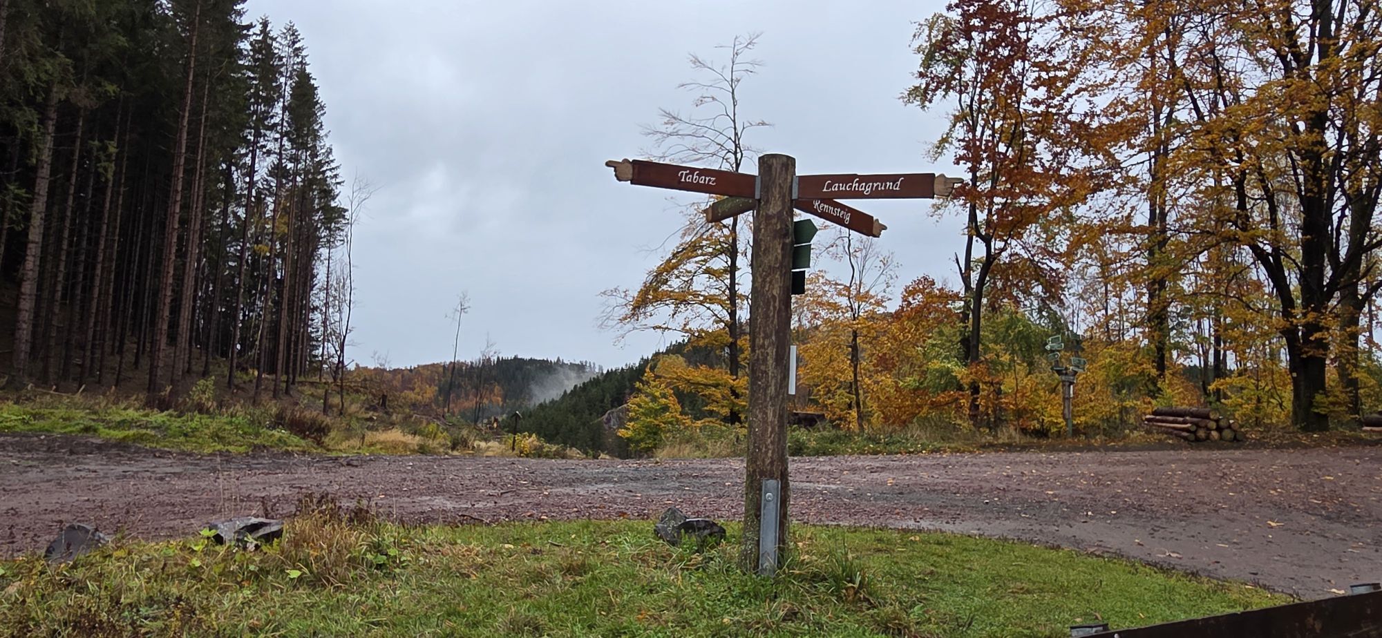
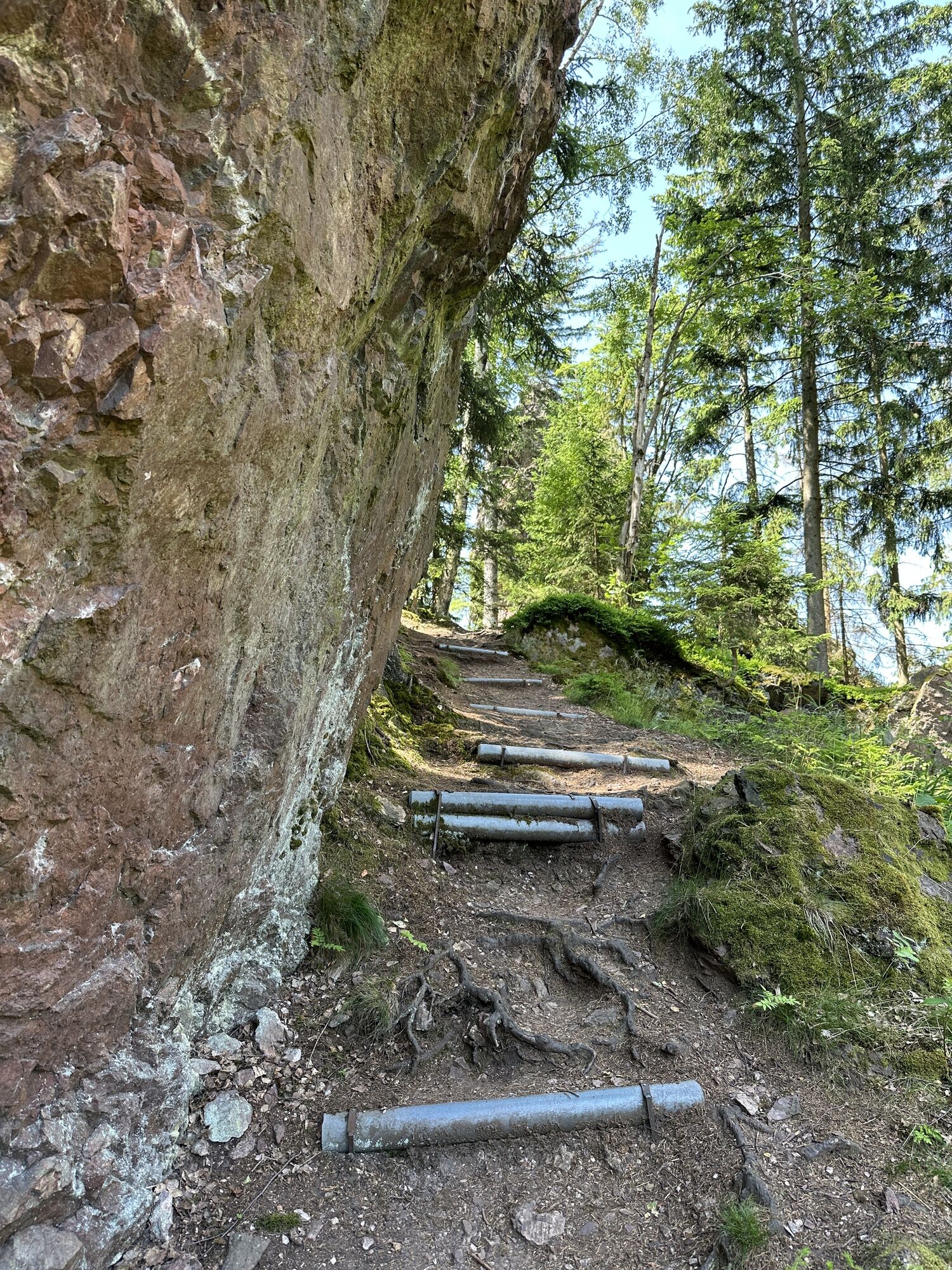
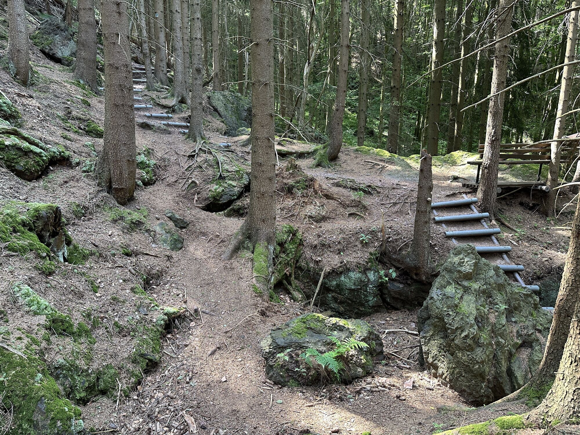
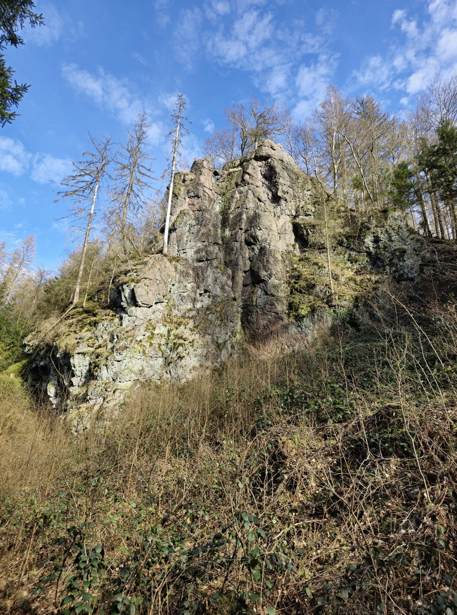
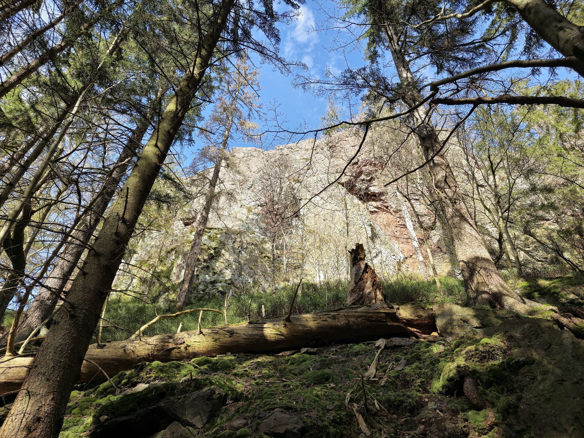
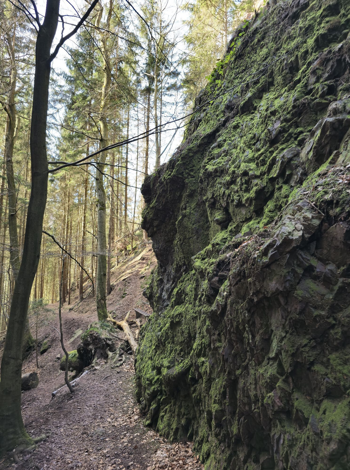
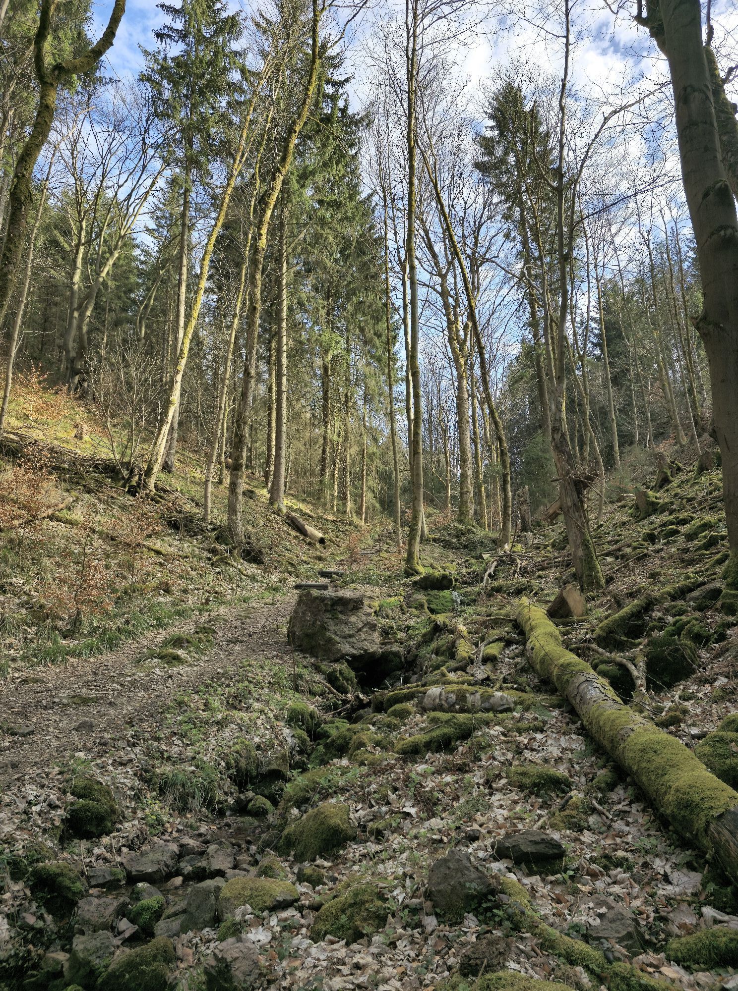
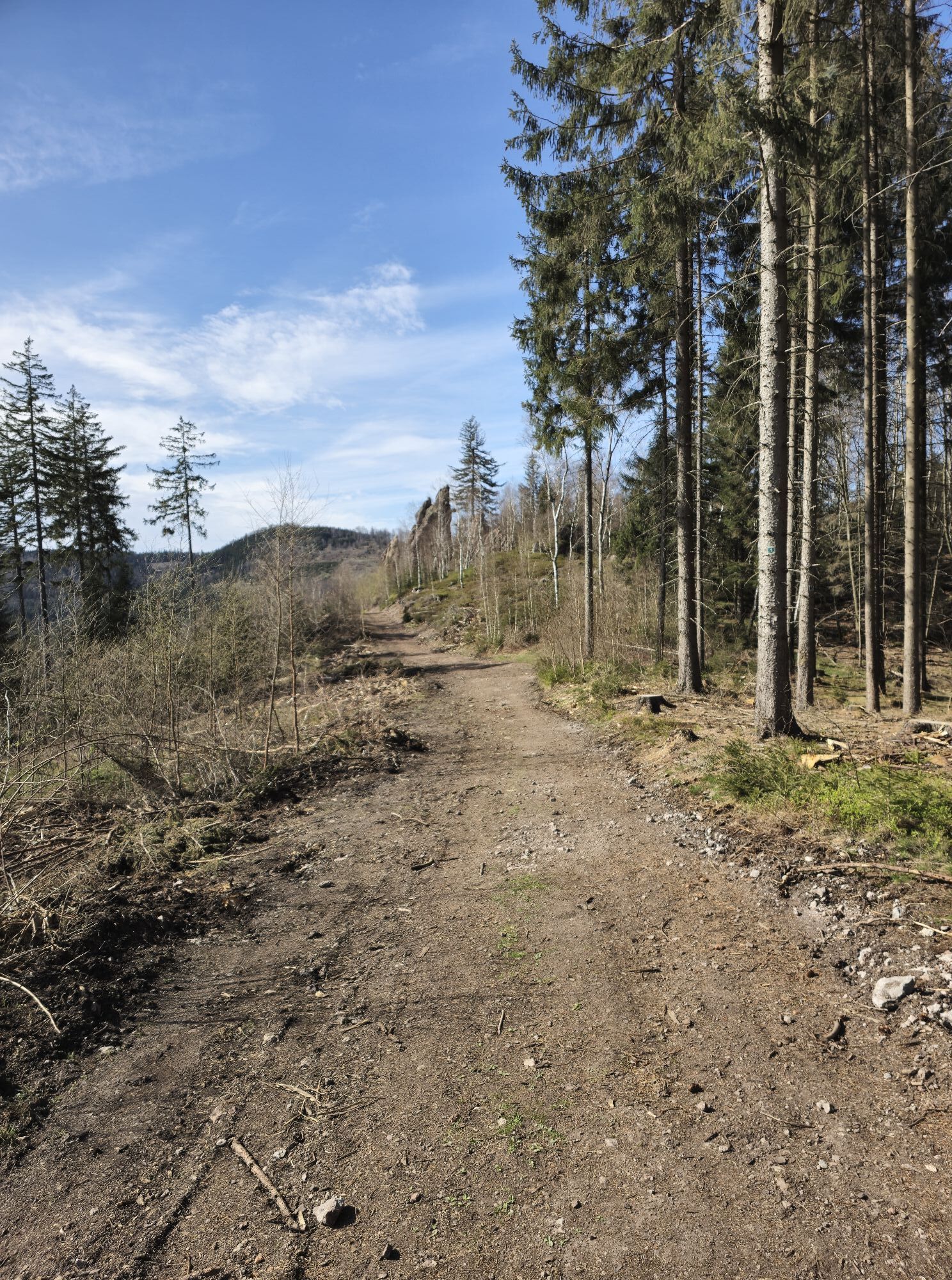
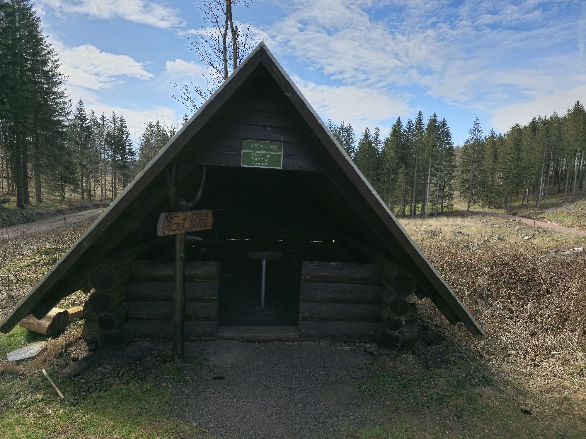
The route starts at the hiking meeting point (behind the hotel Zur Post) in Bad Tabarz. From there it goes towards Theodor Neubauer Park. Then turn right into Zimmerberg street. Cross it, turn into the narrow alley, then via Hain street to Friedrichroda street going slightly uphill. At the intersection turn left. After 50 m there is a large signpost. Here turn right into the forest and walk along Schnepfenweg. After about 400 m of slight ascent, turn right towards Zimmerberg hut. At the next signpost turn left up the stairs to the shelter. Once there, continue to the circular route around Zimmerberg. Here a rewarding detour to Fuchsstein is recommended. After half circling Zimmerberg, you reach the shelter "Neuer Weg". Continue along the mountain trail, past Hexenbank, straight ahead to Wildscheuer. There walk about 100 m straight, then turn right and reach Neuer Weg. Follow it right until the next signpost, then left towards Gickelhahnsprung. Via a steep staircase to the five-arm signpost, from there a wide path goes slightly downhill to Hirschstein. Coming back from Hirschstein, a narrow path goes left to the feeding area for game. Keep left there until the climbing rock Red Tower is reached. A rock gate is passed. Now keep right, go downhill into Bärenbruchsgraben. To the signpost Aschenbergstein - this small detour is worth it, even if it goes back to Bärenbruchsgraben. From there follow the path downhill into Lauchagrund. At the shelter "Tempelchen" the path goes right along the Laucha. On the way you reach Massemühle, Luther fountain, Arenaris spring with Kneipp wading pool and the barefoot path. Bad Tabarz is reached again.

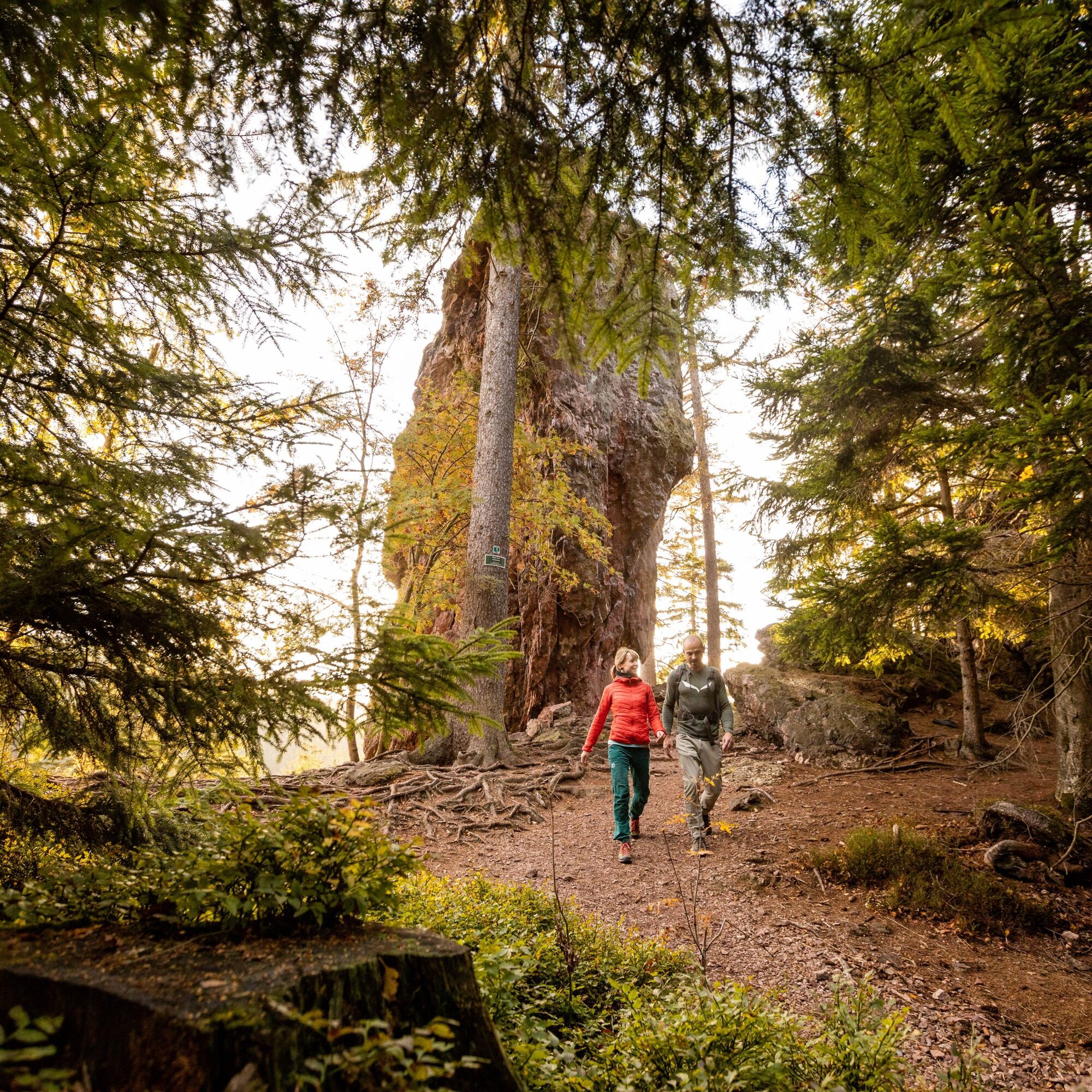
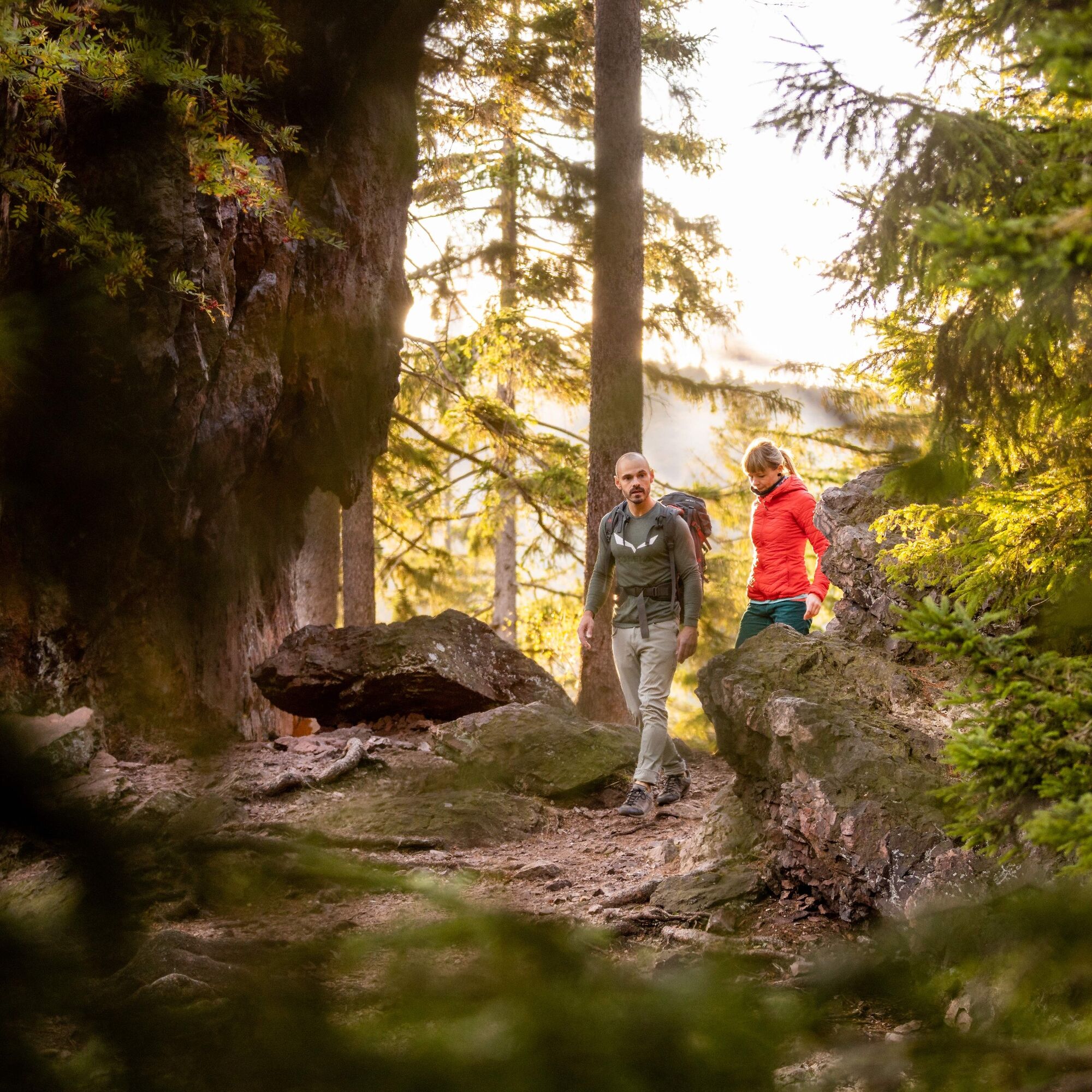
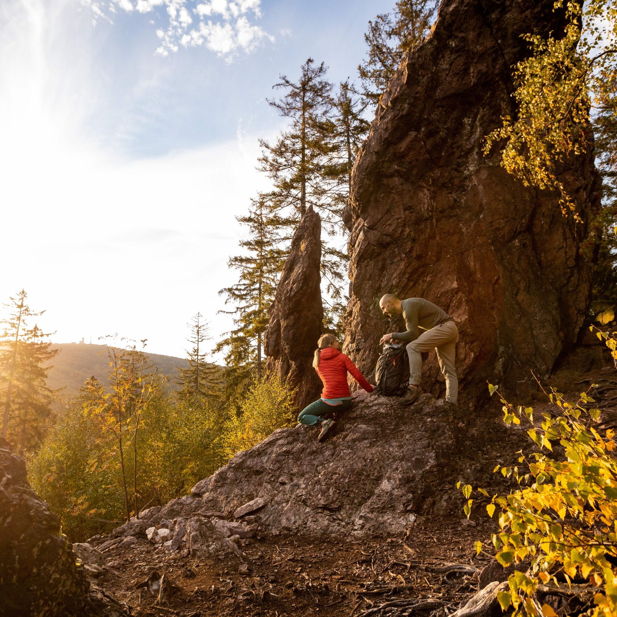
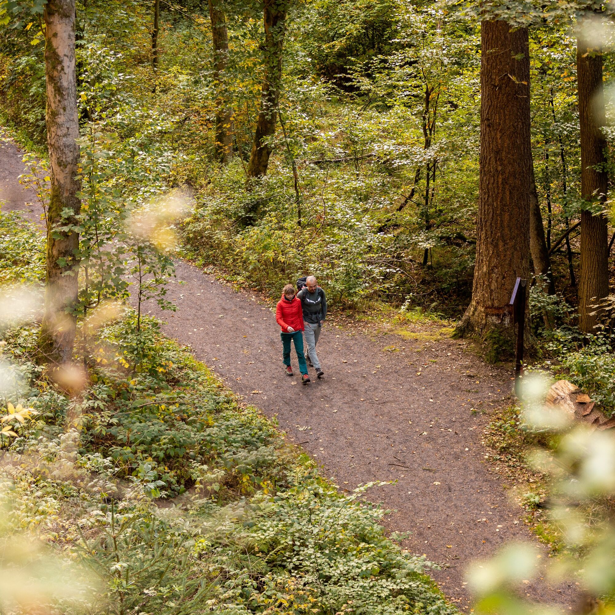










Hiking meeting point - Zimmerberg shelter - (Fuchsstein) - Hexenbank - Gickelhahnsprung - Five-arm signpost - Hirschstein - Red Tower - Aschenbergstein - Bärenbruchsgraben - Lauchagrund - Fairy tale meadow - Hiking meeting point
Tak
Sturdy footwear
Rainwear
First aid kit
GPS navigation device or smartphone
Pack a snack and drinks for the way
Be aware of the typical dangers of the forest!
You proceed at your own risk!
Sturdy footwear and non-slip soles are important.
Coming from the A4 take exit 41a (Waltershausen) and then continue on L1027 towards Bad Tabarz.
By car you reach Bad Tabarz via the BAB 4 exit Waltershausen (between Eisenach and Gotha). After 7 km you reach Bad Tabarz. There are parking lots in the center and at the leisure pool Tabbs. Directly at the town entrance behind the gas station you can use the hiking car park. It is located on the circular hiking routes "Panorama circular route" and "Benedictine path". There you will also find a town map and a hiking map of Bad Tabarz.
Navigation entry for hiking meeting point: 99891 Bad Tabarz Lauchagrundstraße 12a
GPS: 32 U 606441 5637018
Bad Tabarz is very easily accessible.
By train to Gotha main station. There you change to the Thuringian forest railway line 4. With an interesting and comfortable ride through the foreland of the Thuringian Forest, you reach the final stop Bad Tabarz after about 45 minutes. If you already have a Bad Tabarz spa card, the ride on the forest railway is free.
www.vmt-thueringen.de or the VMT app
By car you reach Bad Tabarz via the BAB 4 exit Waltershausen (between Eisenach and Gotha). After 7 km you reach Bad Tabarz. There are parking lots in the center and at the leisure pool Tabbs. Directly at the town entrance behind the gas station you can use the hiking car park. It is located on the circular hiking routes "Panorama circular route" and "Benedictine path". There you will also find a town map and a hiking map of Bad Tabarz.
You can reach Bad Tabarz by bus lines 445/146 from Schmalkalden (connection to DB). Simply use the following link for travel planning:
Just enter your desired travel date and starting point.
Theodor Neubauer Park / Lauchagrund street Google NAV point
Parking lot behind the Sparkasse Google NAV point
Parking lot in Reinhardsbrunner street Google NAV point
Tak
T2
www.Bad-Tabarz.de
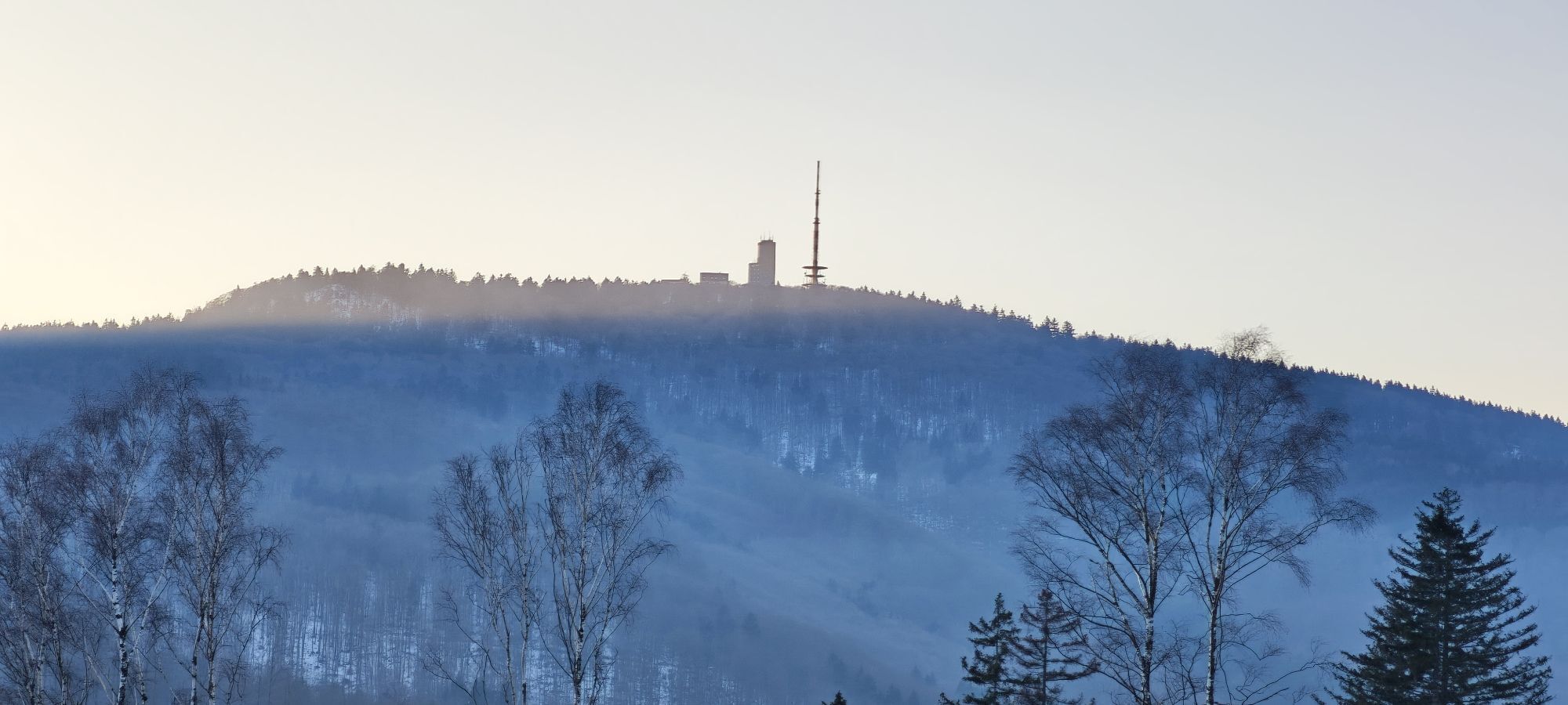
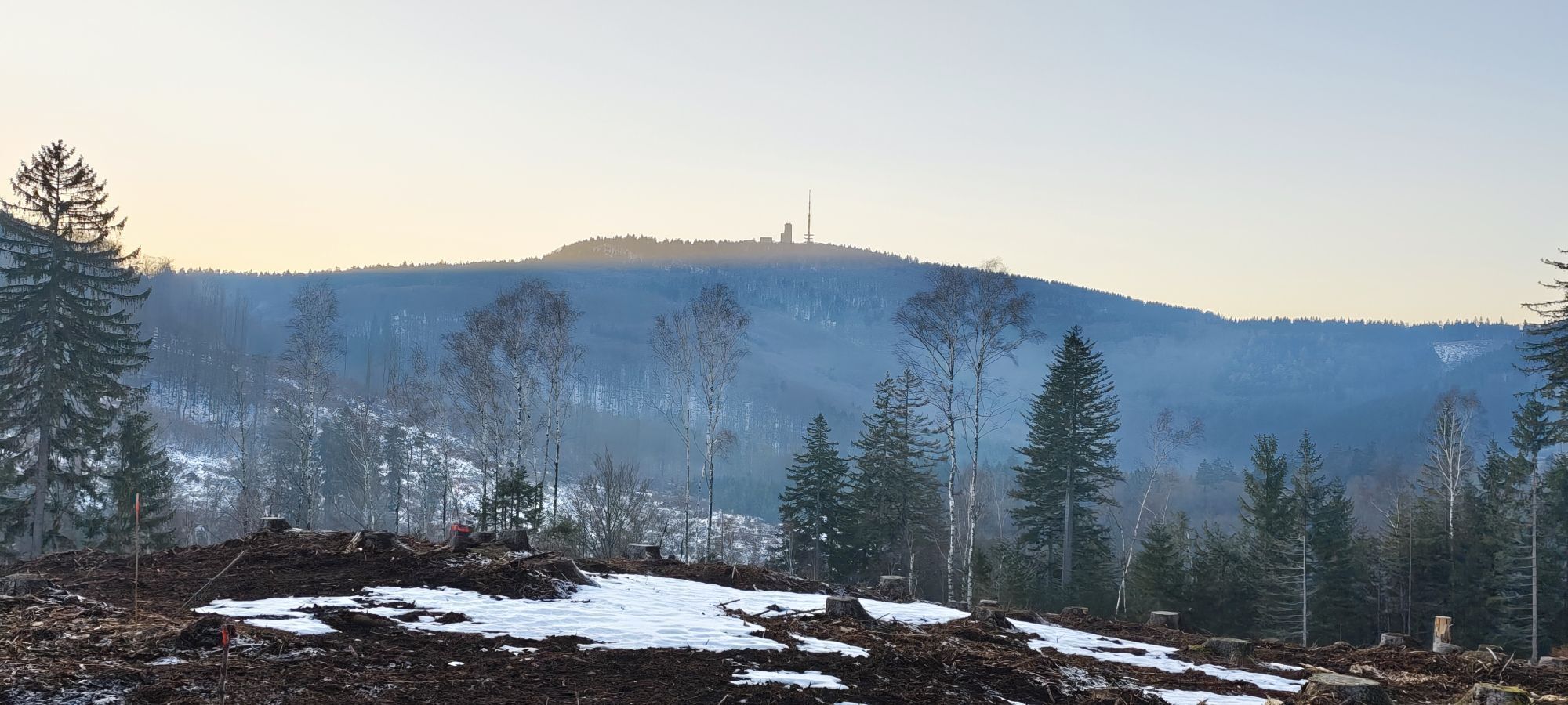
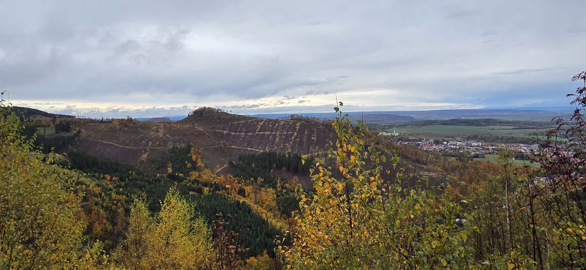
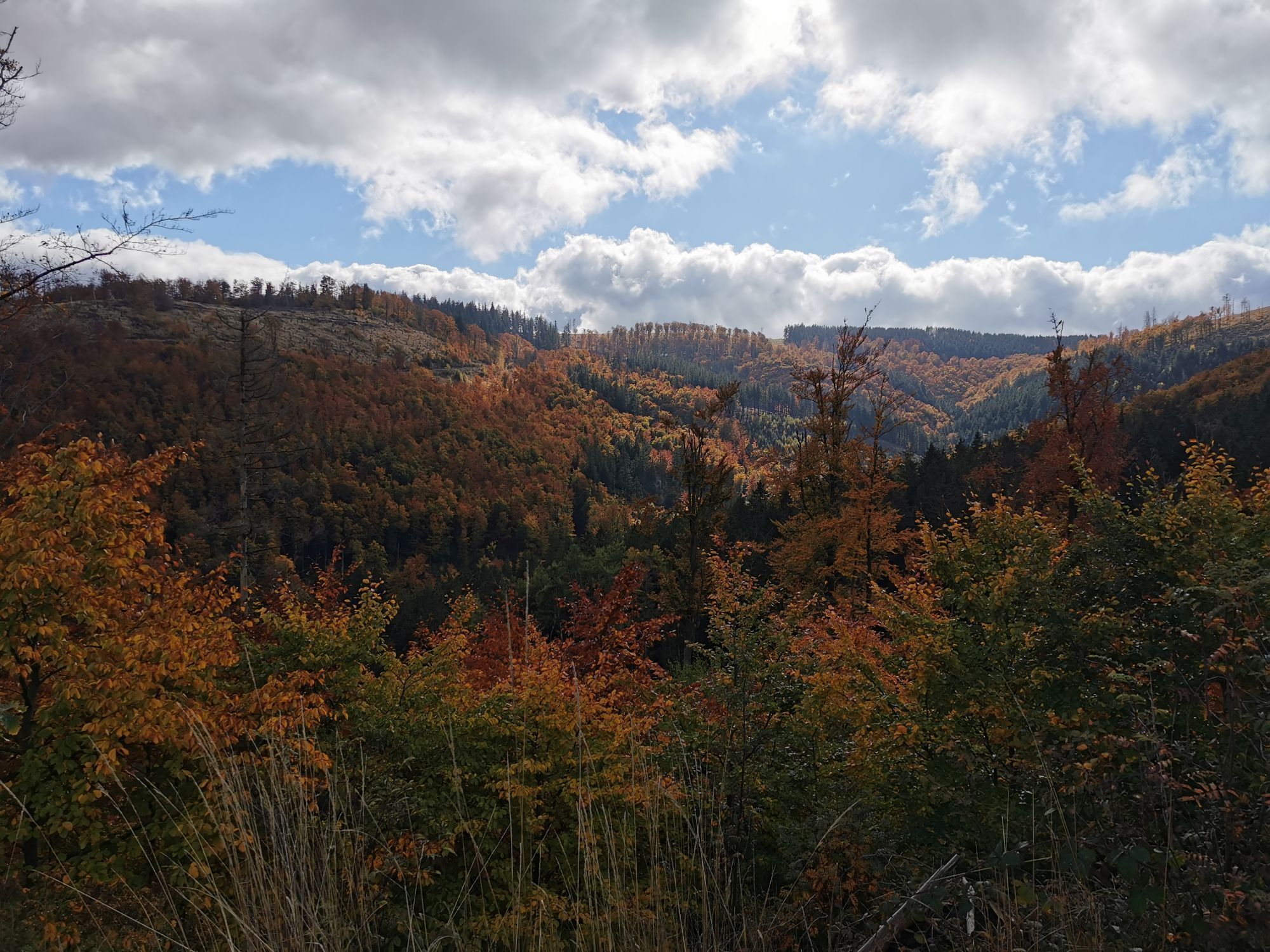
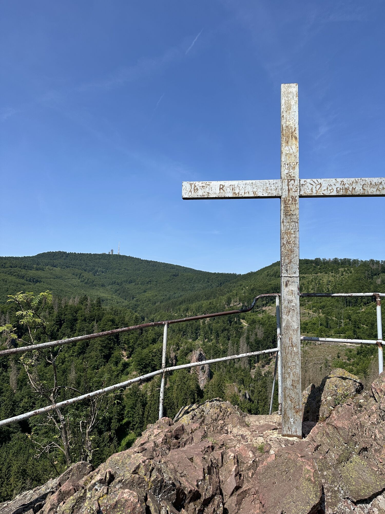
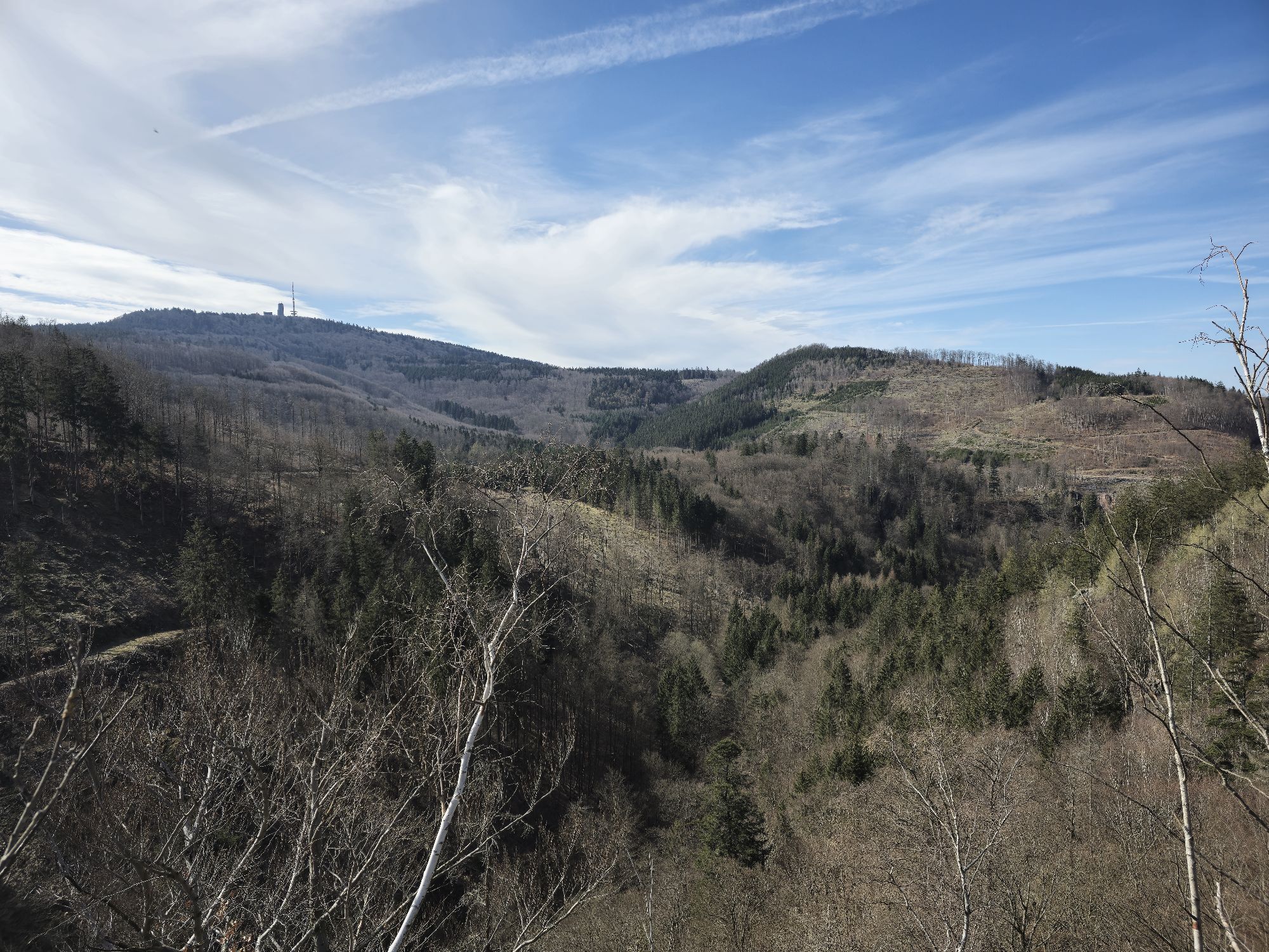
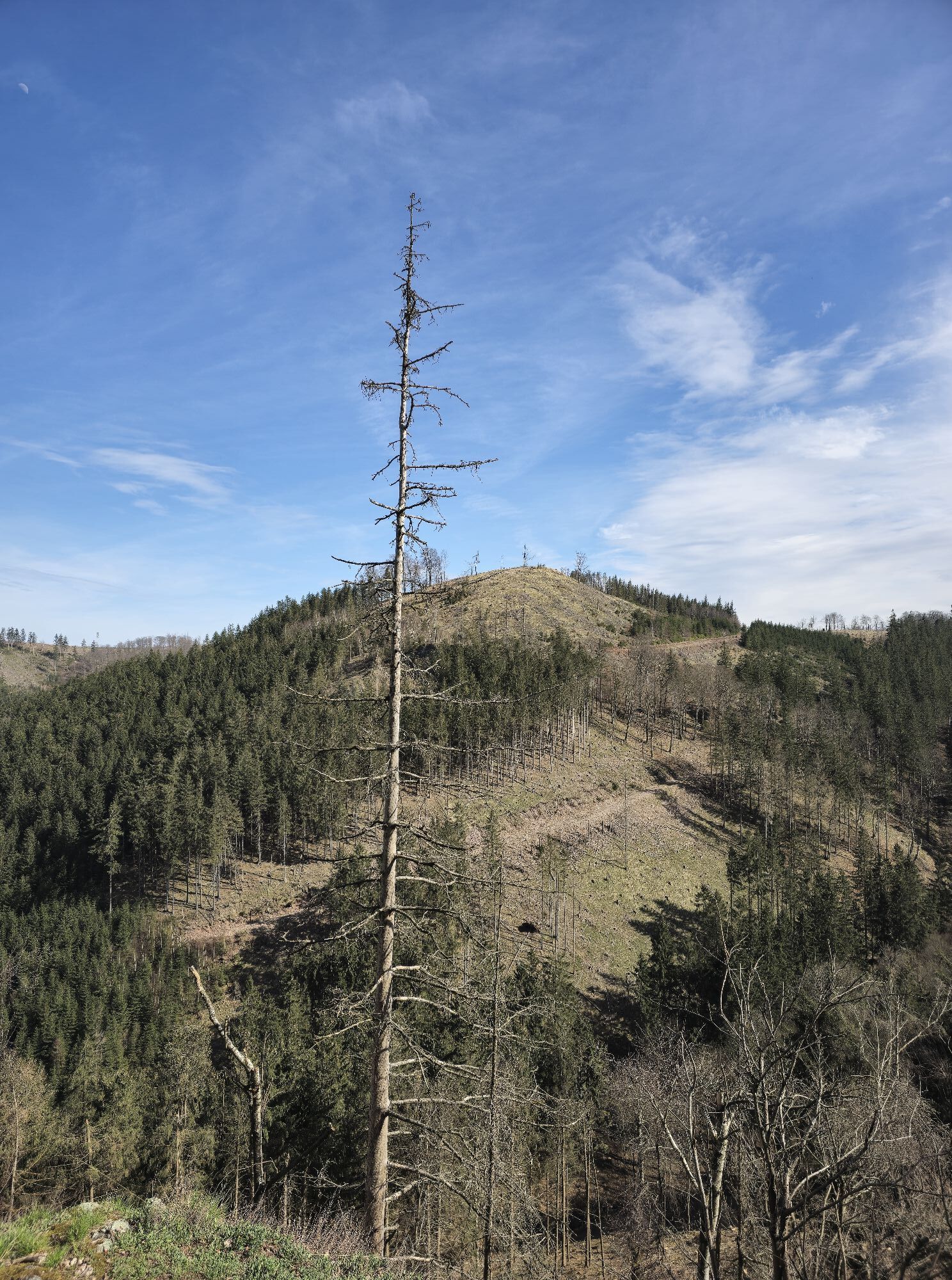
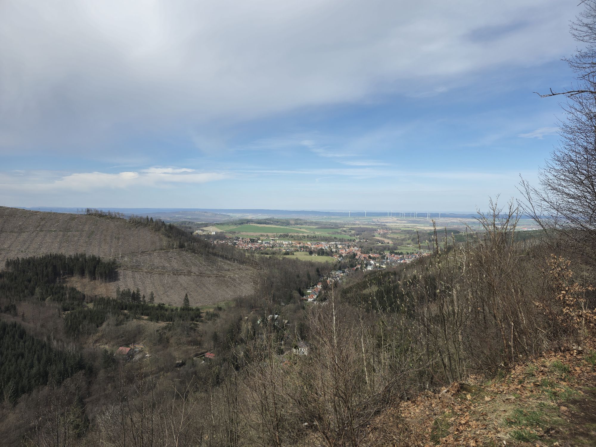
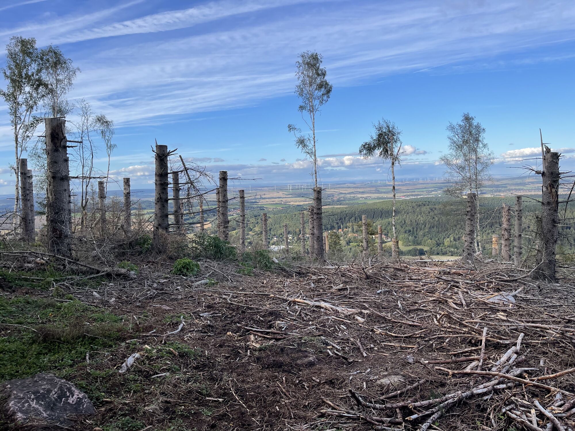
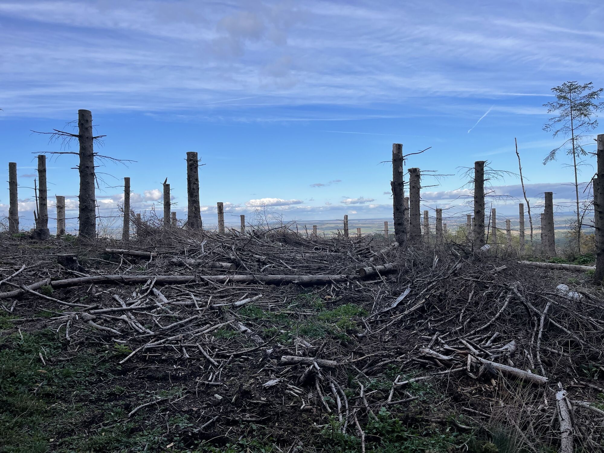
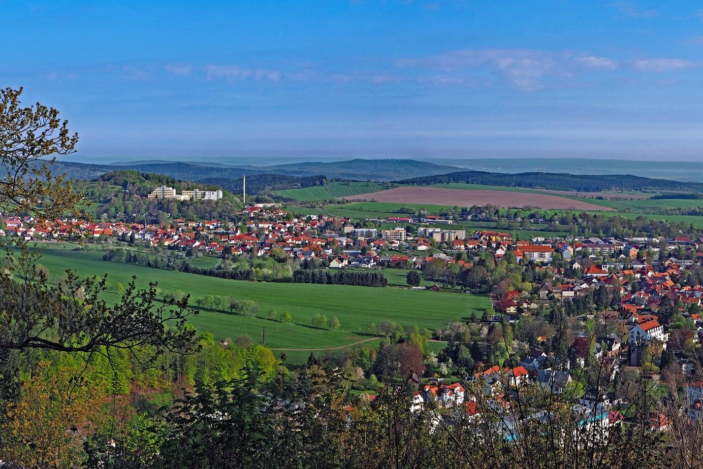
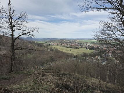
On the Zimmerberg you have a wonderful panoramic view. When descending through the Bärenbruch you may be lucky enough to observe fire salamanders. Please do not touch them.
 Uzyskaj wgląd
Zawsze na żywo z ponad 9 500 kamer internetowych. bergfex Jako użytkownik Pro, możesz teraz zobaczyć odpowiednie kamery internetowe dla wielu wycieczek w aplikacji wycieczki od. Pozwala to na bezpośredni podgląd aktualnych warunków.
Uzyskaj wgląd
Zawsze na żywo z ponad 9 500 kamer internetowych. bergfex Jako użytkownik Pro, możesz teraz zobaczyć odpowiednie kamery internetowe dla wielu wycieczek w aplikacji wycieczki od. Pozwala to na bezpośredni podgląd aktualnych warunków.




Popularne wycieczki w okolicy
-
4,4
Circular hike "Old Tambach Dam", Tambach-D., Thuringian Forest
średniWędrówka 8,33 km -
3,8
Wanderung zum Spitterfall
średniWędrówka 14,6 km -
4,8
Circular hike - Schmalwasser reservoir - Tambach-Dietharz - Thuringian Forest
średniWędrówka 13,8 km -
4,5
Circular hike - Legendary Hörselberge - Great Hörselberg near Eisenach - Thuringian Forest
średniWędrówka 10,6 km -
Tabarzer Vulkansteig
średniWędrówka 9,91 km -
3,2
Von Friedrichroda zum großen Inselsberg
średniWędrówka 22,4 km -
4,5
Circular hiking trail - "Trusetal Landmark Route" - Thuringian Forest
światłoWędrówka 4,02 km -
5,0
Inselsberg tour - Tour 2 - Bad Tabarz
ciężkiWędrówka 15,1 km -
3,5
Backofenloch circular route - route 6 - Bad Tabarz
średniWędrówka 7,02 km -
4,0
Circular route - Tanzbuche - Friedrichroda - Thuringian Forest
średniWędrówka 10,2 km
Wędrówki i tropienie


Nie przegap ofert i inspiracji na następne wakacje
Twój adres e-mail została dodana do listy mailingowej.





