






Circular hike to Bärenstein & Pfanntalsteich
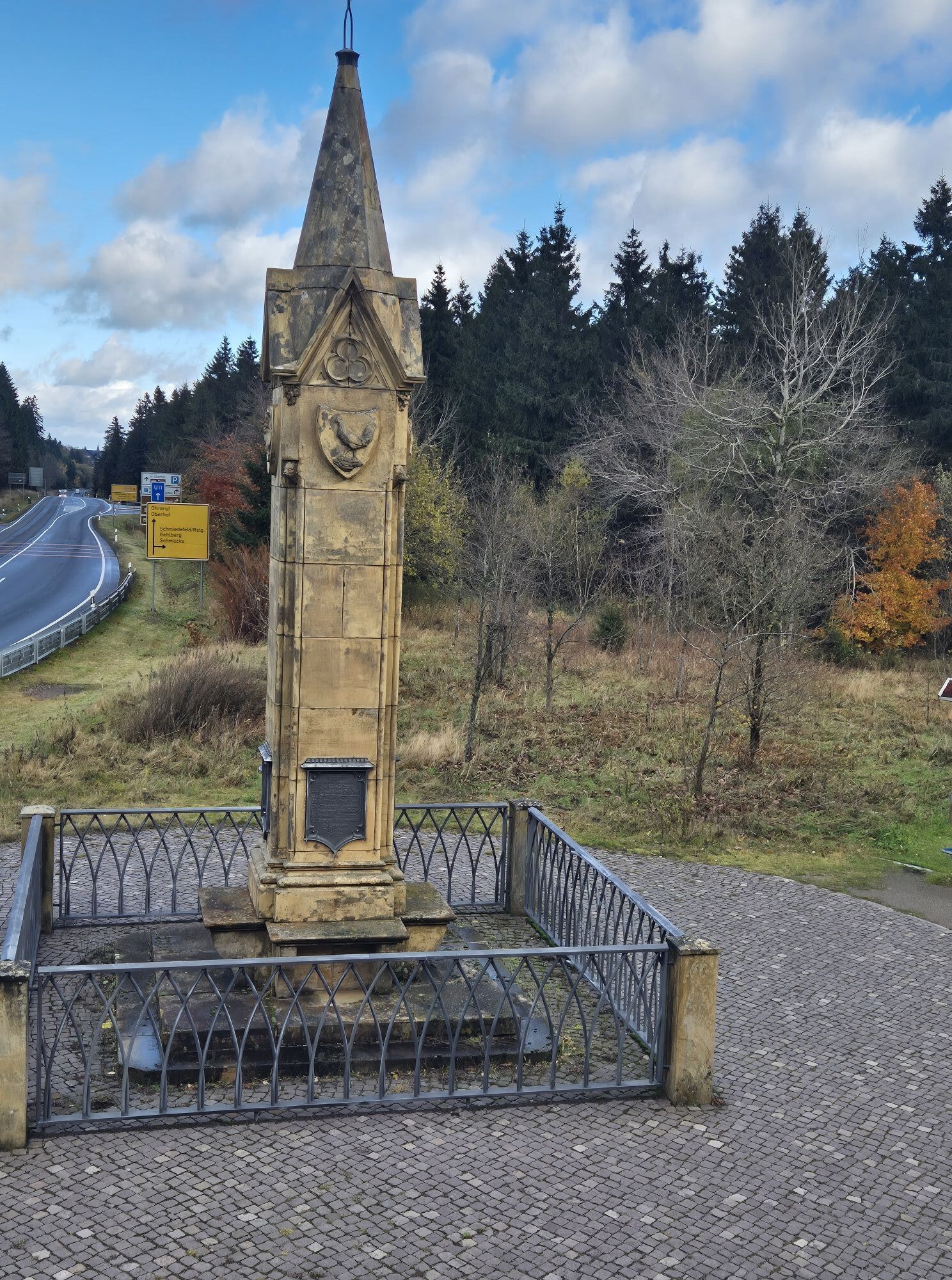
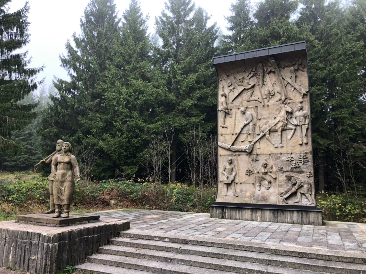

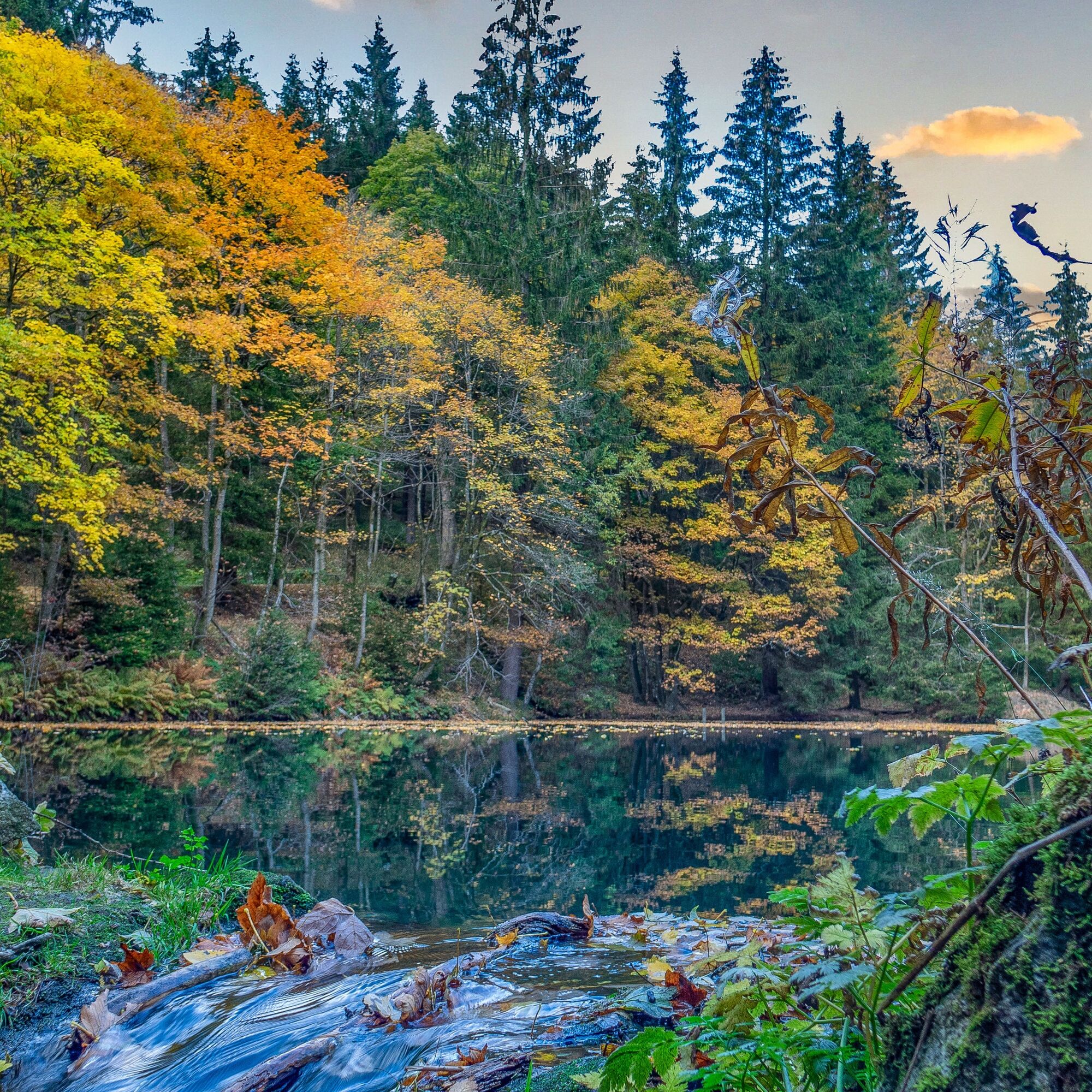
This moderate hike takes the walker from Oberhof along charming hiking trails to the Pfanntalsteich. This artificially created small lake used to serve the railway to supply steam locomotives with fresh...
This moderate hike takes the walker from Oberhof along charming hiking trails to the Pfanntalsteich. This artificially created small lake used to serve the railway to supply steam locomotives with fresh water after the strenuous climb. The route passes the Bärenstein. A detour to the viewpoint here is definitely worthwhile. From here, walkers overlook the historic Oberhof station, a perfect spot for a rest.
Continuing along the old Flößgraben back towards Pfanntalsteich and then to Oberhof. The ditch was originally created to transport logs, today it is a tranquil stream. Idyllic peace, the scent of fir trees, and once again a small uphill challenge for the circulation. Upon returning to the Rondell, a detour to the Rennsteiggarten Oberhof is highly recommended in the summer months.


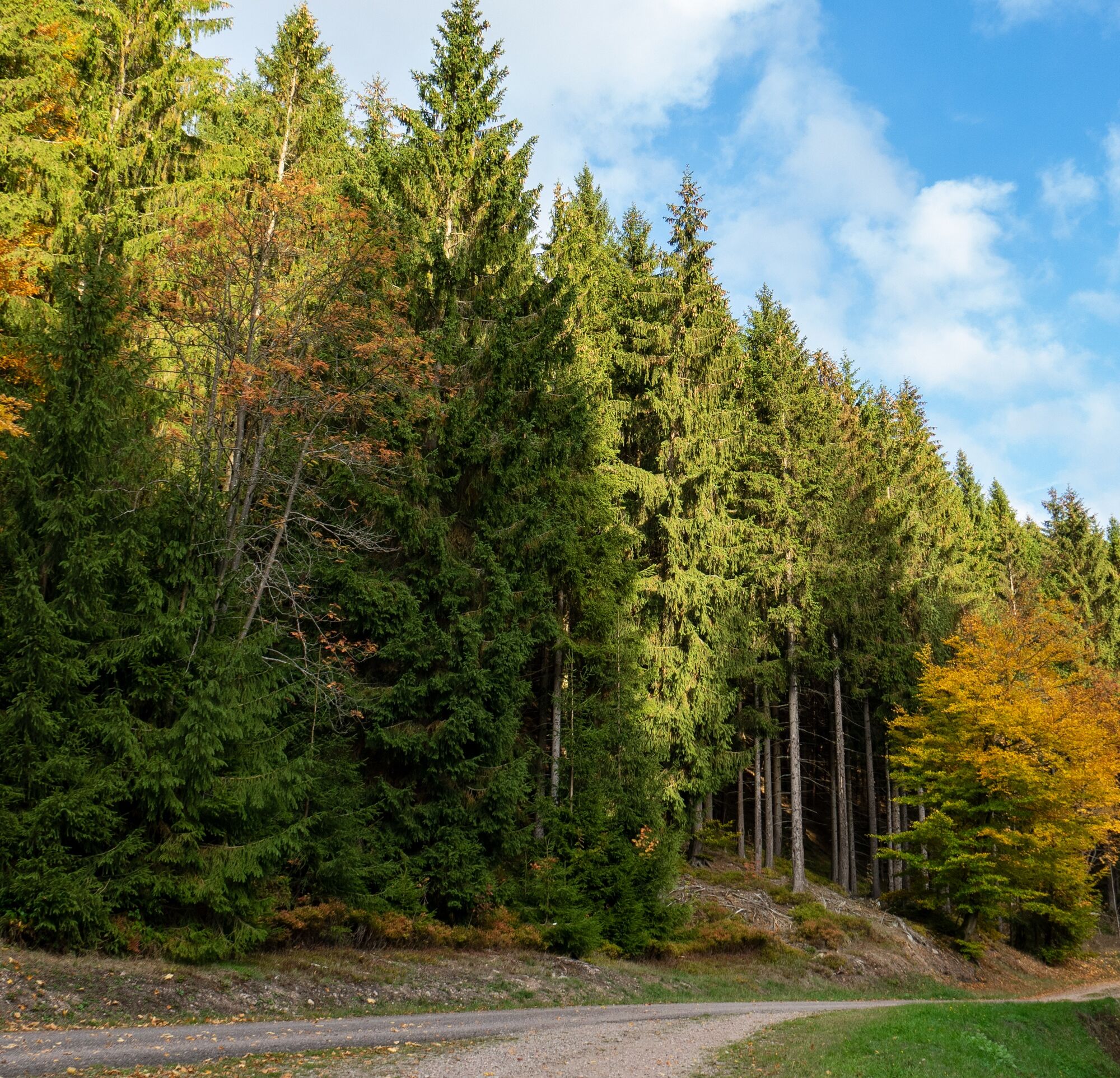
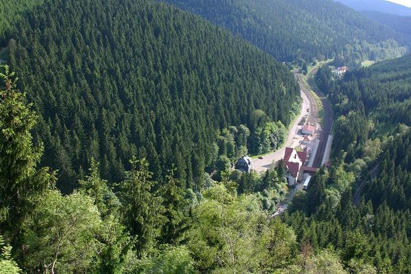


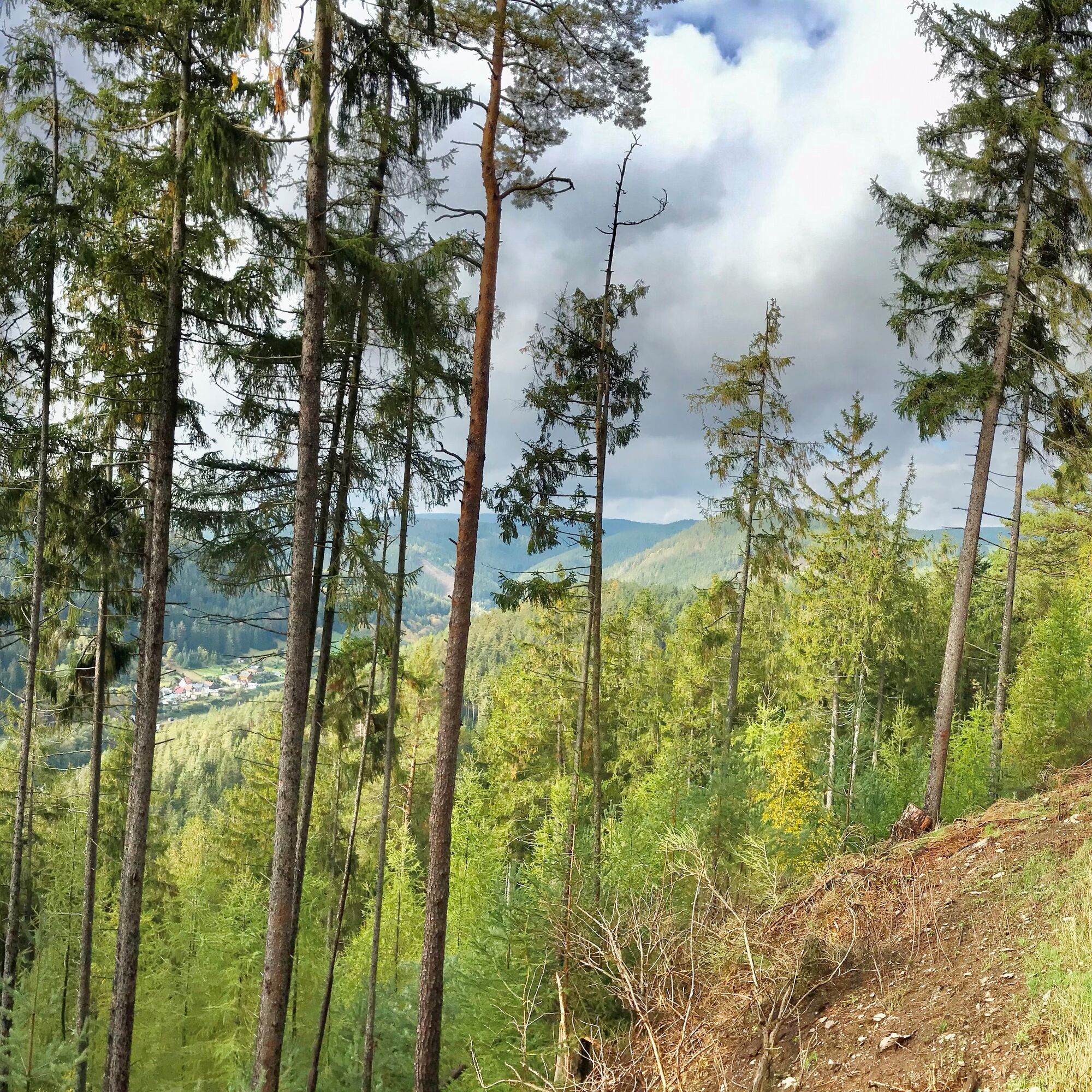


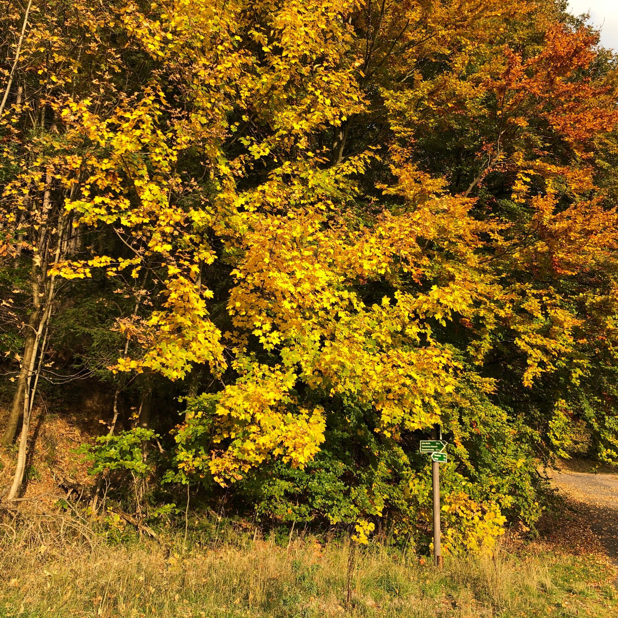


From the Oberhof Information center towards the pedestrian zone, along Zellaer Straße to the junction with Waldstraße, continue on the forest path towards the Rondell, left over the pedestrian bridge, the path below the Rennsteiggarten to the right towards Bärenstein, continue on this path to the Flößgraben, right downhill to Oberhof station, right uphill about 300 m on the road, then right through the Pfanntal to the Rondell, over the pedestrian bridge, then right on the forest path to Zellaer Straße, back through the pedestrian zone.
The hiking trail requires sturdy footwear. You will walk partly on narrow paths.
Rainwear (If you do not have rainwear in your luggage, you can purchase it at the Oberhof Information or one of the sports shops in Oberhof - open 7 days a week)
First aid kit
GPS navigation device or smartphone
Provisions - There is no gastronomy along the way
The path is mostly natural, partly rocky. Use at your own risk!
Avoid walking on moss-covered stones and rocks due to slip hazards and watch out for deadwood, branches, and fallen trees.
Coming from the A71, exit 18 (Oberhof) and continue on L3247 towards Oberhof. From the country road, turn right towards Oberhof (center) at the first opportunity. From L3247, at the "Nordknoten" Oberhof, exit towards Panorama Hotel/Kurpark.
You can reach Oberhof from the direction of Zella-Mehlis (Deutsche Bahn) by bus line 422 via Oberhof, exit at Stadtplatz. Use the German Rail travel planner for trip planning.
Parking lot at Kurpark Oberhof (Google NAV point)
Oberhof Information
Crawinkler Straße 2
98559 Oberhof
Phone: +49 (0) 36842 / 269 0
E-mail: information@oberhof.de
The Pfanntalsteich is one of the most popular photo motifs in the Thuringian Forest. Not a bathing lake, but a wonderful place of power. Don't forget your camera.
 Uzyskaj wgląd
Zawsze na żywo z ponad 9 500 kamer internetowych. bergfex Jako użytkownik Pro, możesz teraz zobaczyć odpowiednie kamery internetowe dla wielu wycieczek w aplikacji wycieczki od. Pozwala to na bezpośredni podgląd aktualnych warunków.
Uzyskaj wgląd
Zawsze na żywo z ponad 9 500 kamer internetowych. bergfex Jako użytkownik Pro, możesz teraz zobaczyć odpowiednie kamery internetowe dla wielu wycieczek w aplikacji wycieczki od. Pozwala to na bezpośredni podgląd aktualnych warunków.

Popularne wycieczki w okolicy
-
4,2
Rund um die Ohratalsperre
światłoWędrówka 14,5 km -
4,4
Circular hike "Old Tambach Dam", Tambach-D., Thuringian Forest
średniWędrówka 8,33 km -
4,8
Circular hike - Schmalwasser reservoir - Tambach-Dietharz - Thuringian Forest
średniWędrówka 13,8 km -
4,0
Zu den Schanzen im Kanzlersgrund
średniWędrówka 9,58 km -
4,0
Circular hiking route "Oberschönauer Felsenwanderung" - Steinbach-Hallenberg - Thuringian Forest
ciężkiWędrówka 12,0 km -
The Rennsteig - long-distance hiking trail from Hörschel to Blankenstein - Thuringian Forest
ciężkidługodystansowy szlak pieszy 169,0 km -
5,0
Hiking - Summit hiking trail - Suhl-Goldlauter - Thuringian Forest
ciężkiWędrówka 32,1 km -
4,5
Hike over the Rennsteig & the Schneekopf to the Schmücke
ciężkiWędrówka 20,9 km -
5,0
Circular Hiking Route - Lütsche-Flößgraben - Thuringian Forest
ciężkiWędrówka 13,8 km -
4,2
Circular hiking route - "Zunft & Kloß" - Zella-Mehlis - Thuringian Forest
ciężkiTrasa tematyczna 6,83 km
Wędrówki i tropienie


Nie przegap ofert i inspiracji na następne wakacje
Twój adres e-mail została dodana do listy mailingowej.





