






Circular hiking trail "Veilchenbrunnen - Ski Jumps at Rennsteig" - Oberhof
Poziom trudności: T1
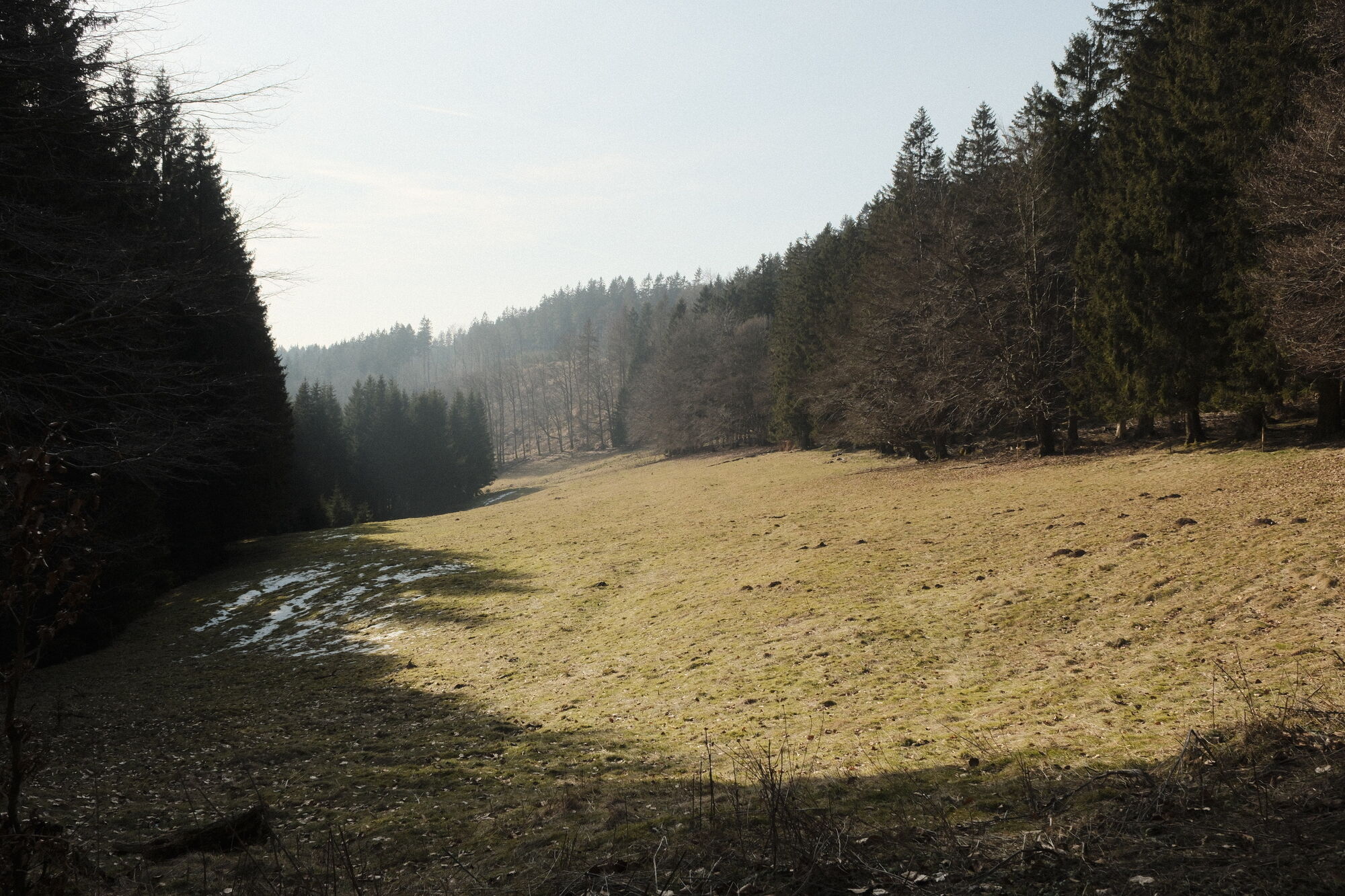
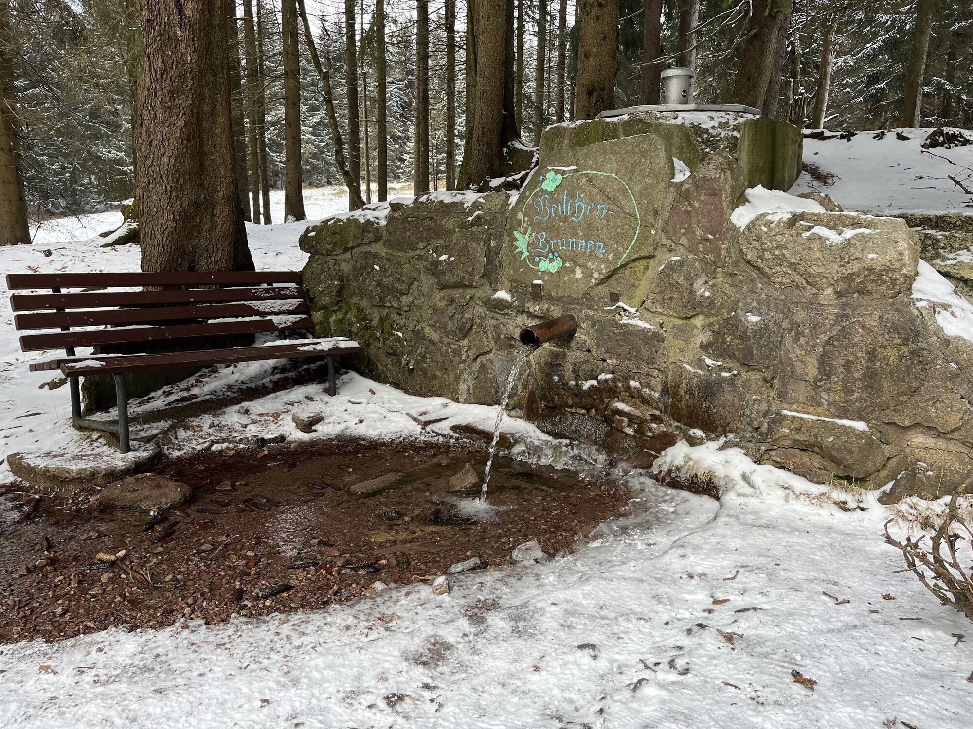

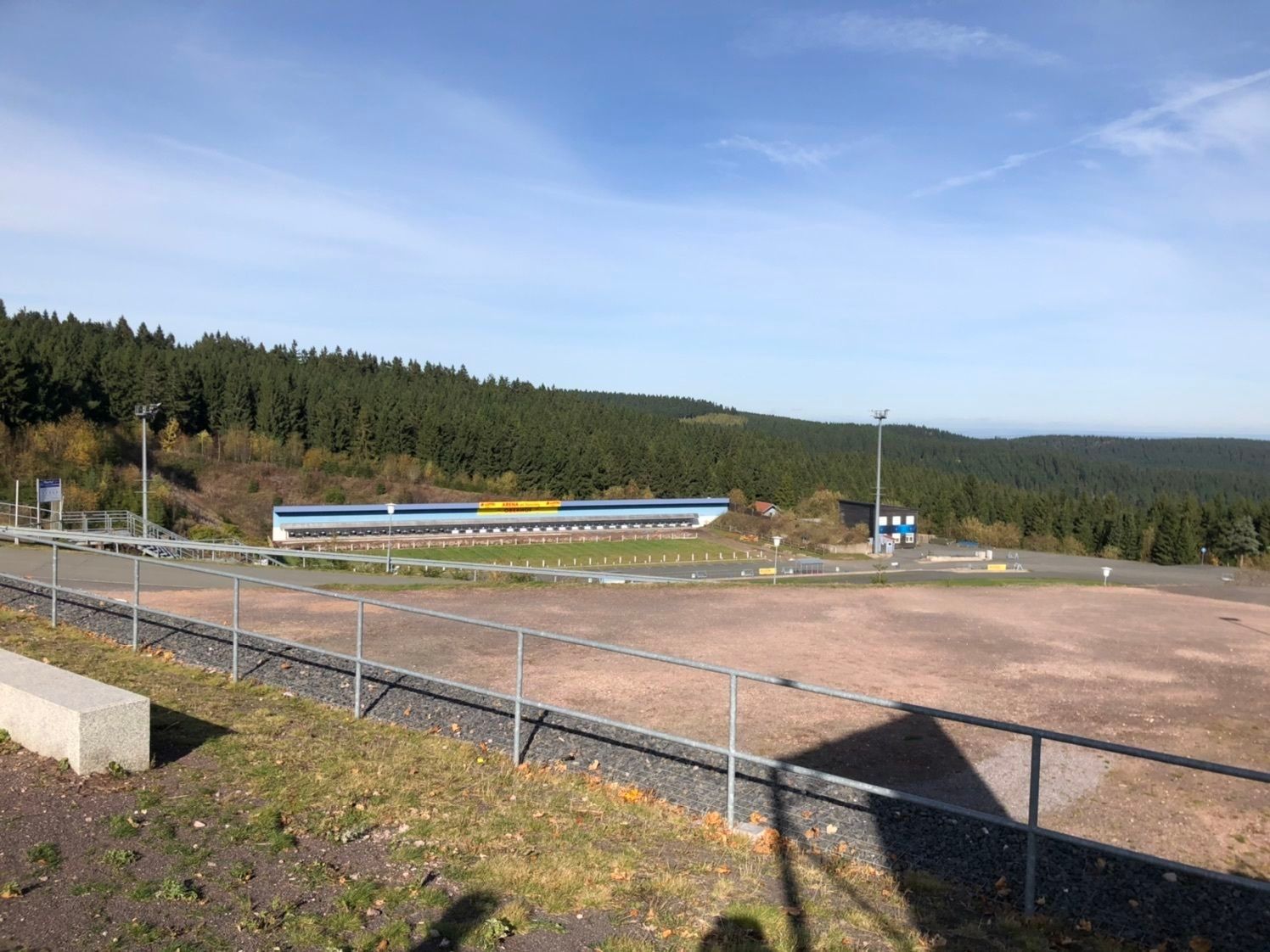
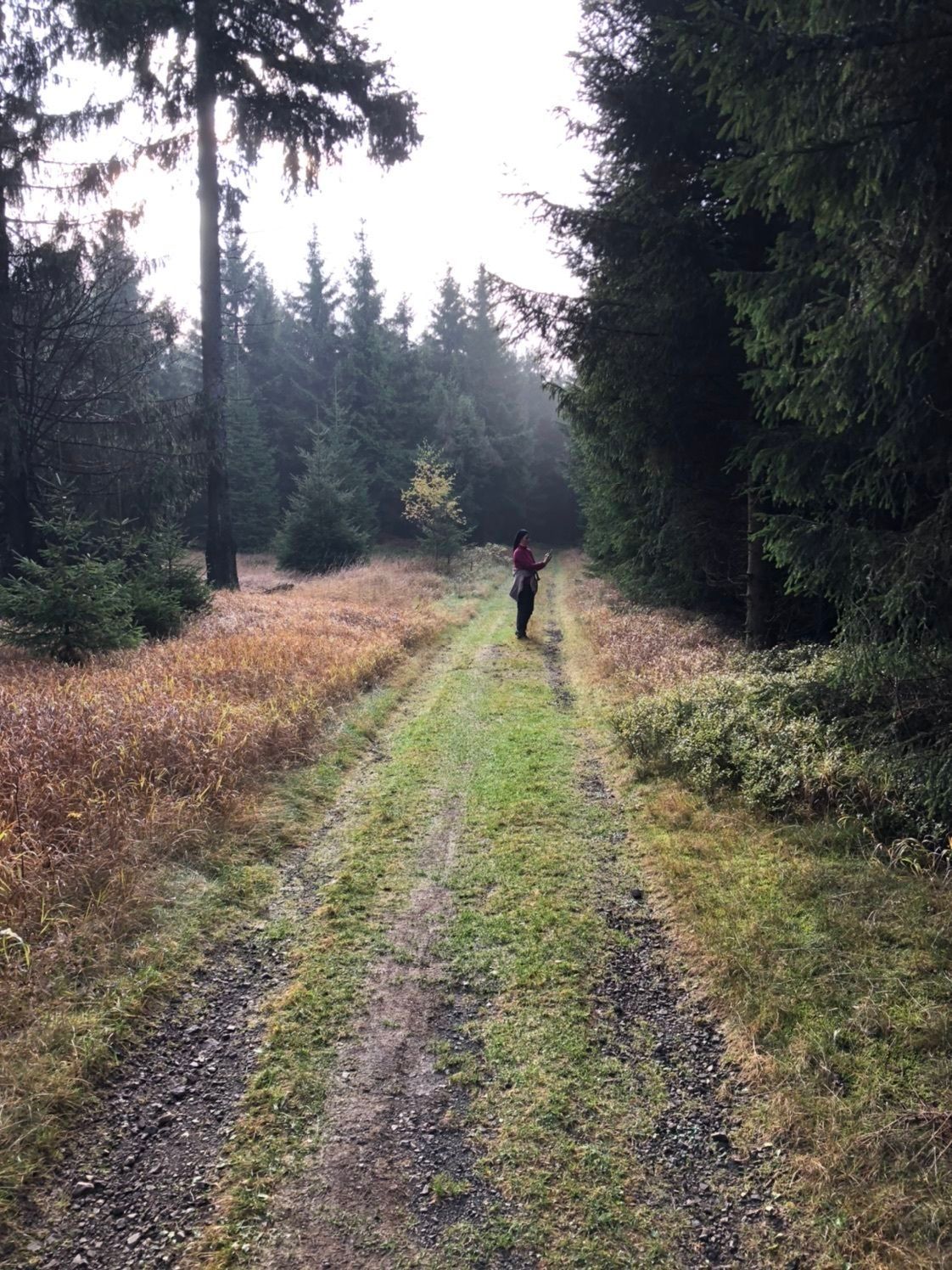
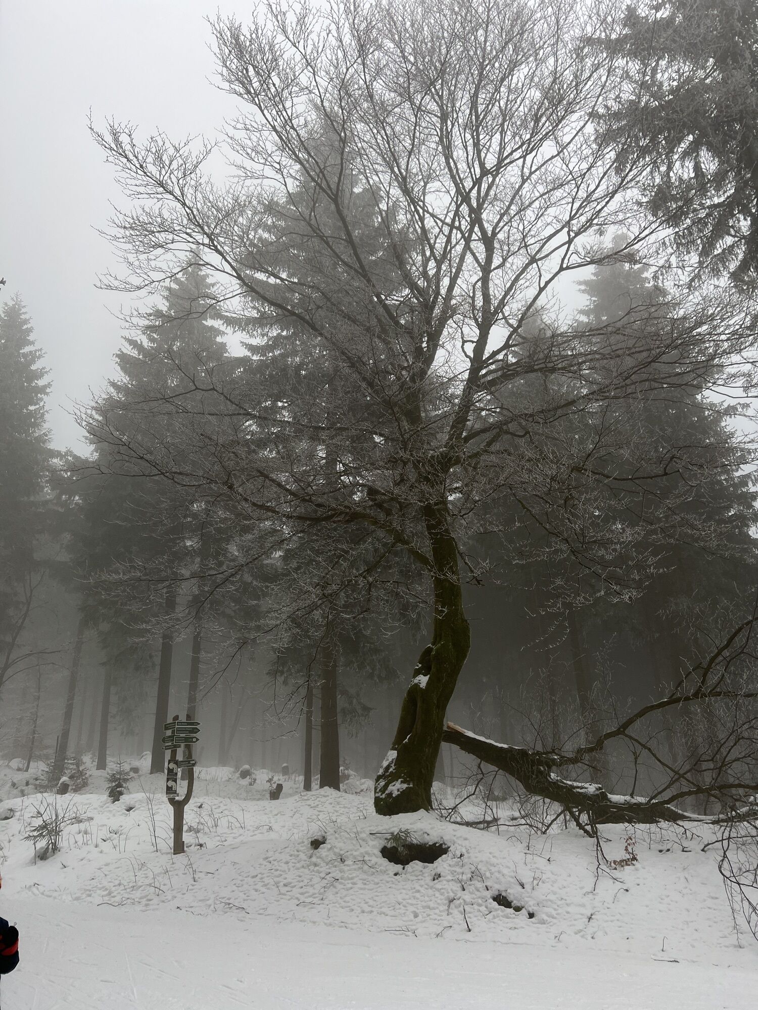
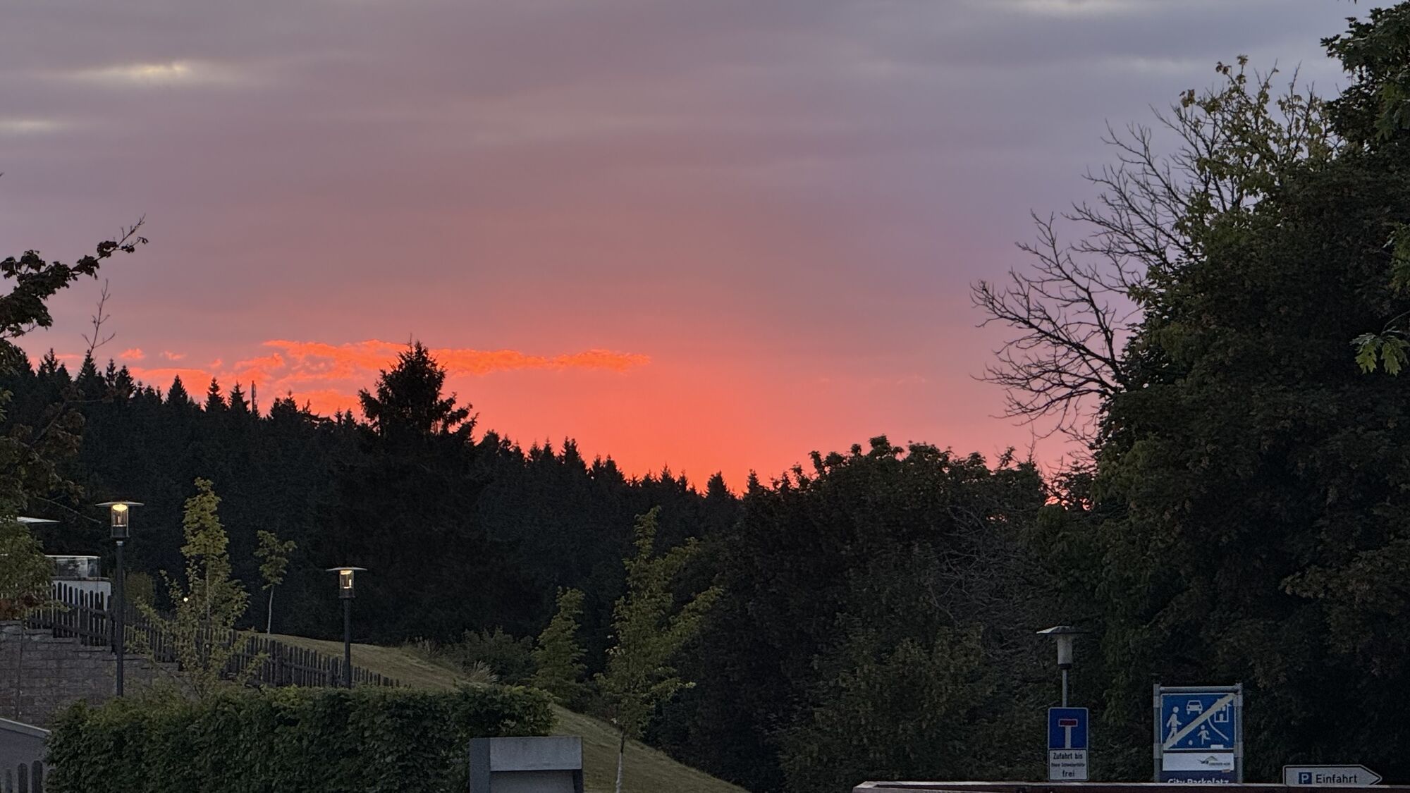

The hike is easy to moderate, also suitable for somewhat older children. It starts and ends at Oberhof Information. Starting at another point is always possible. At Grenzadler, a detour to the LOTTO-Thüringen...
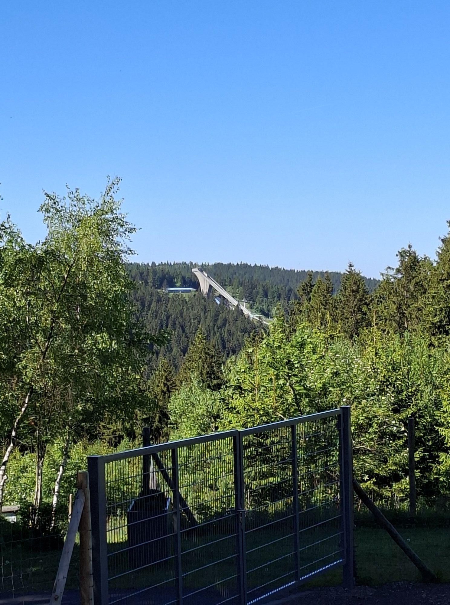
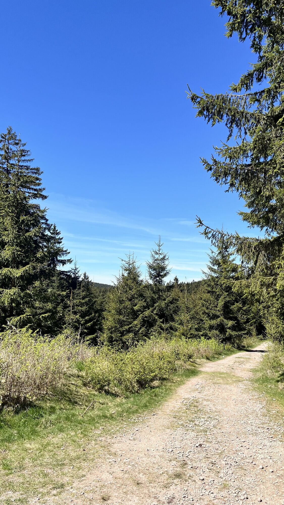
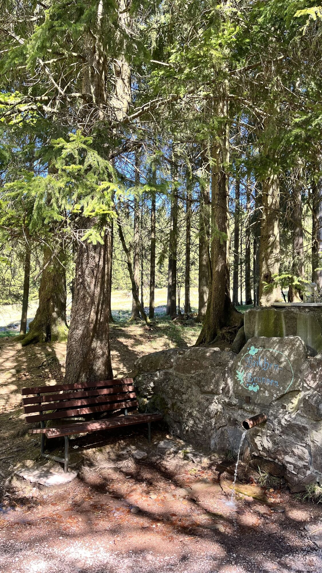
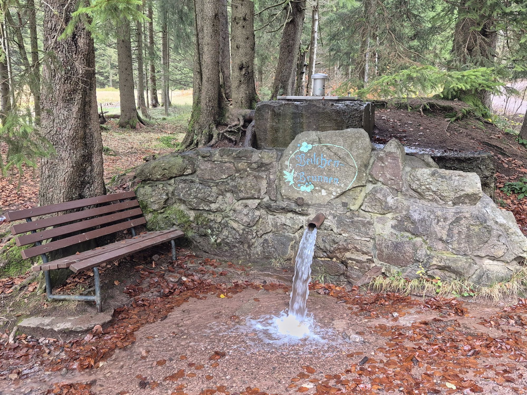
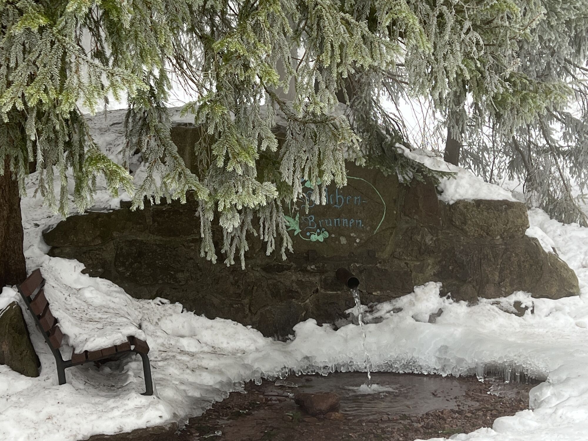
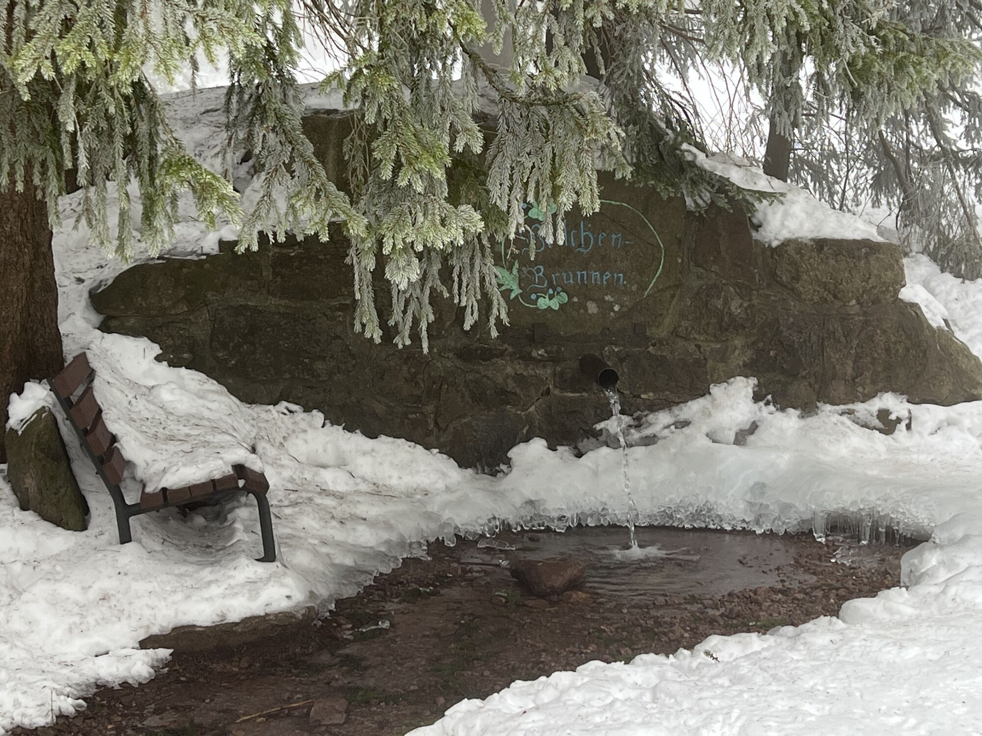
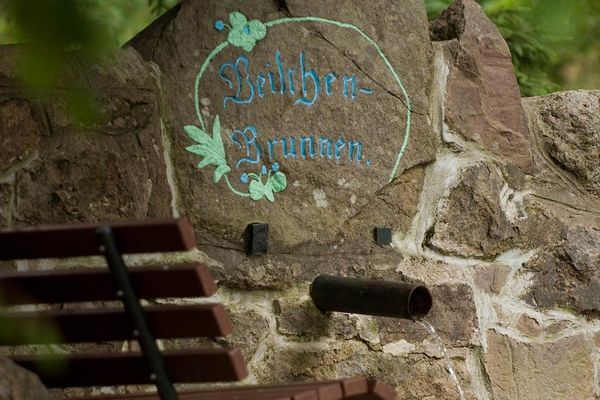
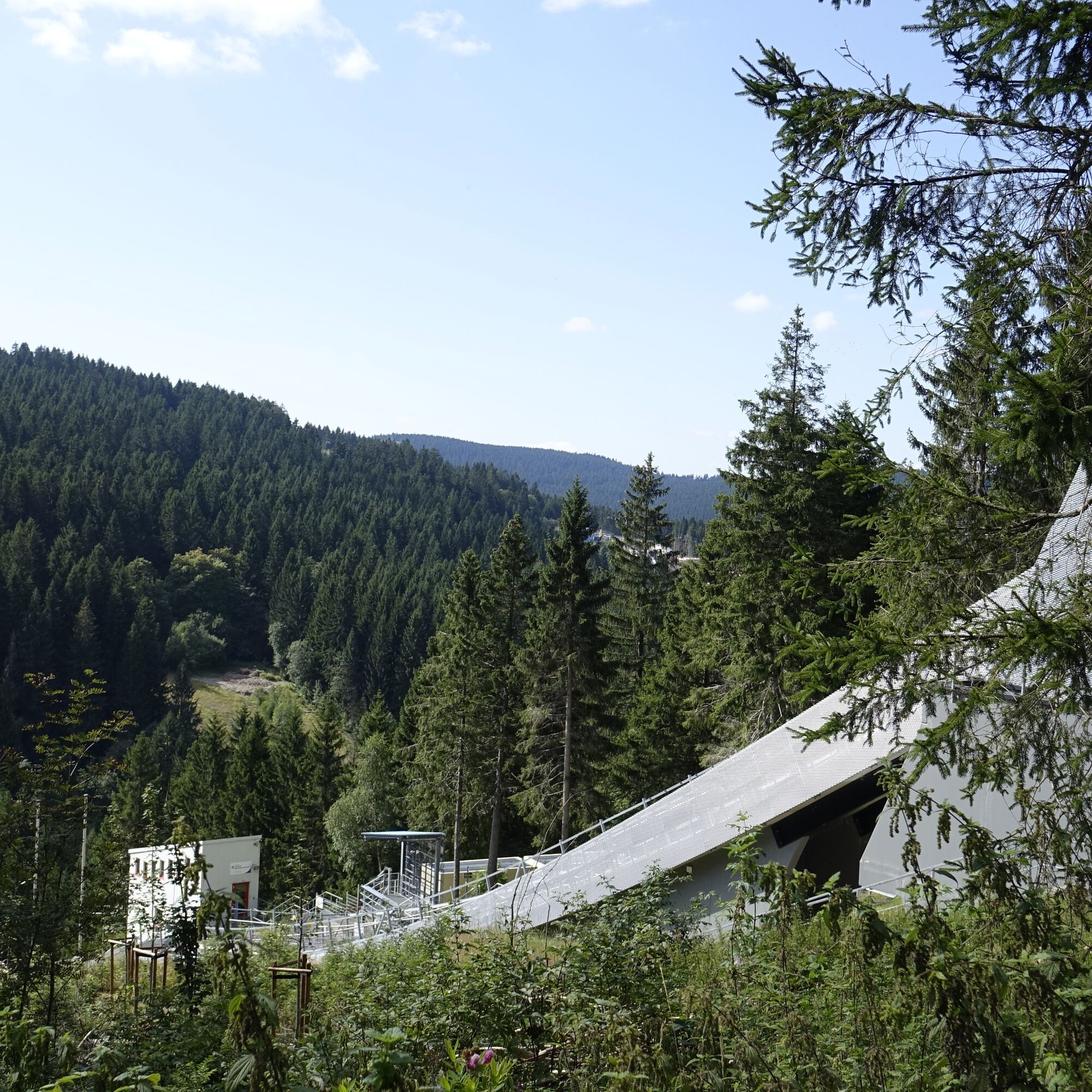
The hike is easy to moderate, also suitable for somewhat older children. It starts and ends at Oberhof Information. Starting at another point is always possible. At Grenzadler, a detour to the LOTTO-Thüringen Arena at Rennsteig is worthwhile. Especially impressive is the view from the towers of the "ski jumps in Kanzlersgrund" towards the valley. The hiking trail then continues towards Veilchenbrunnen, a pretty typical Thuringian spring well. In the eponymous lodge, there is a hearty hiking snack. Past the spring, you now take the return route towards Oberhof. Here it runs along the "Stallweg" a section of the Rennsteig-Dolmar Trail towards the "Rondell."

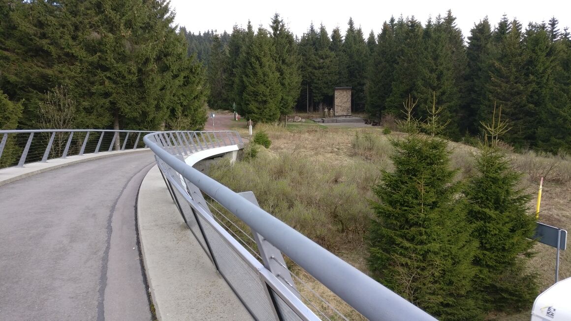
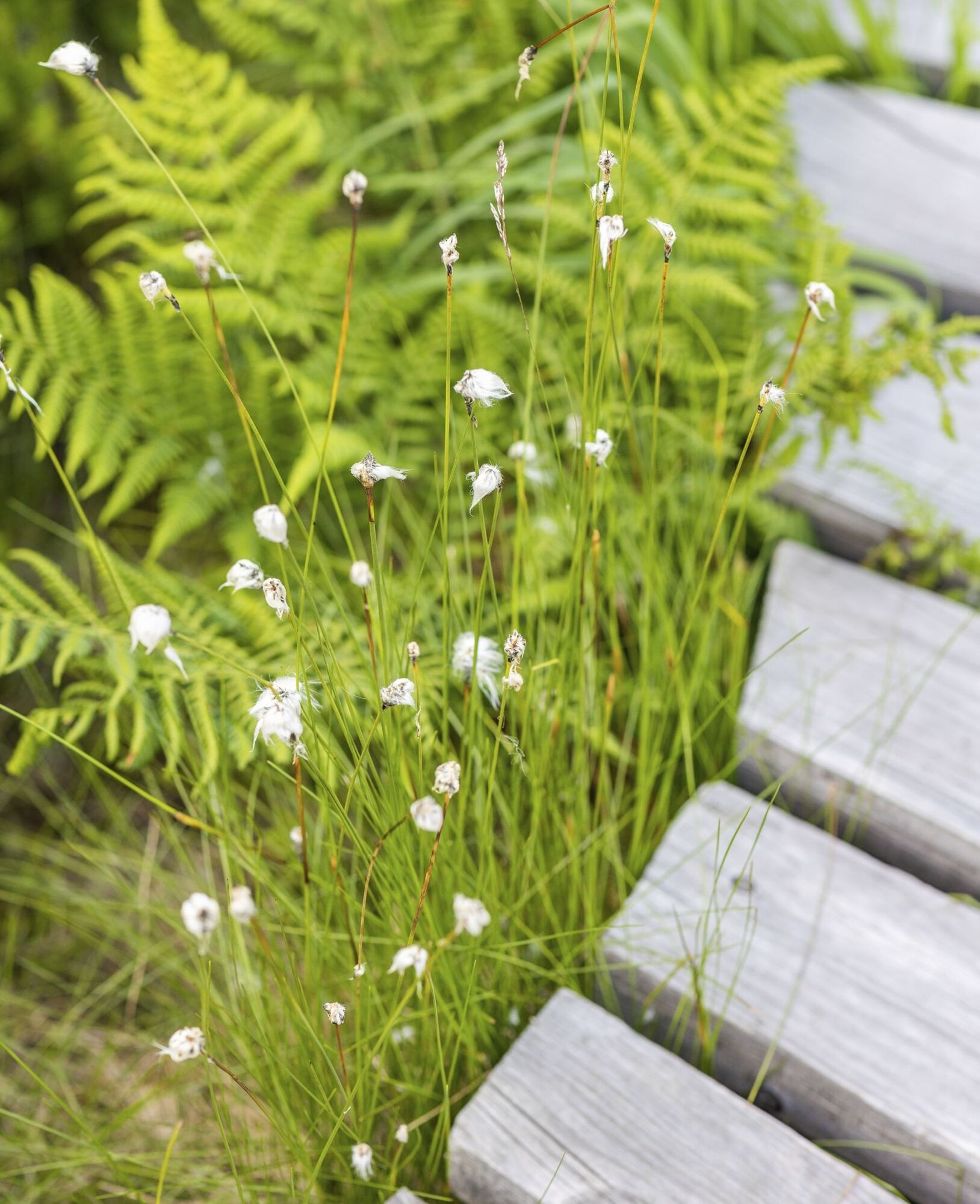
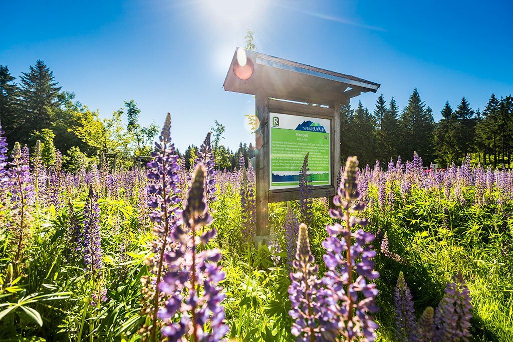
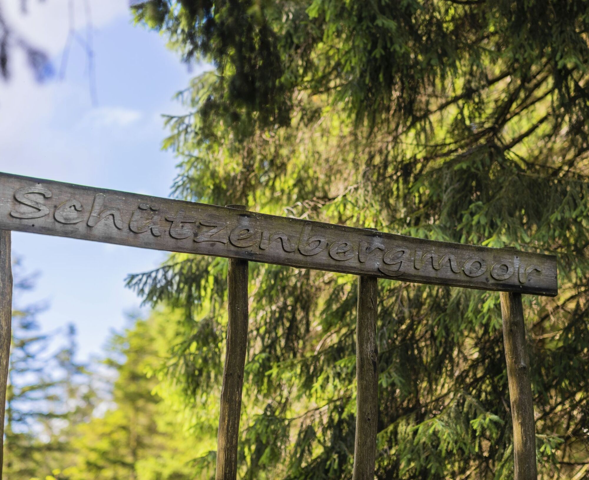
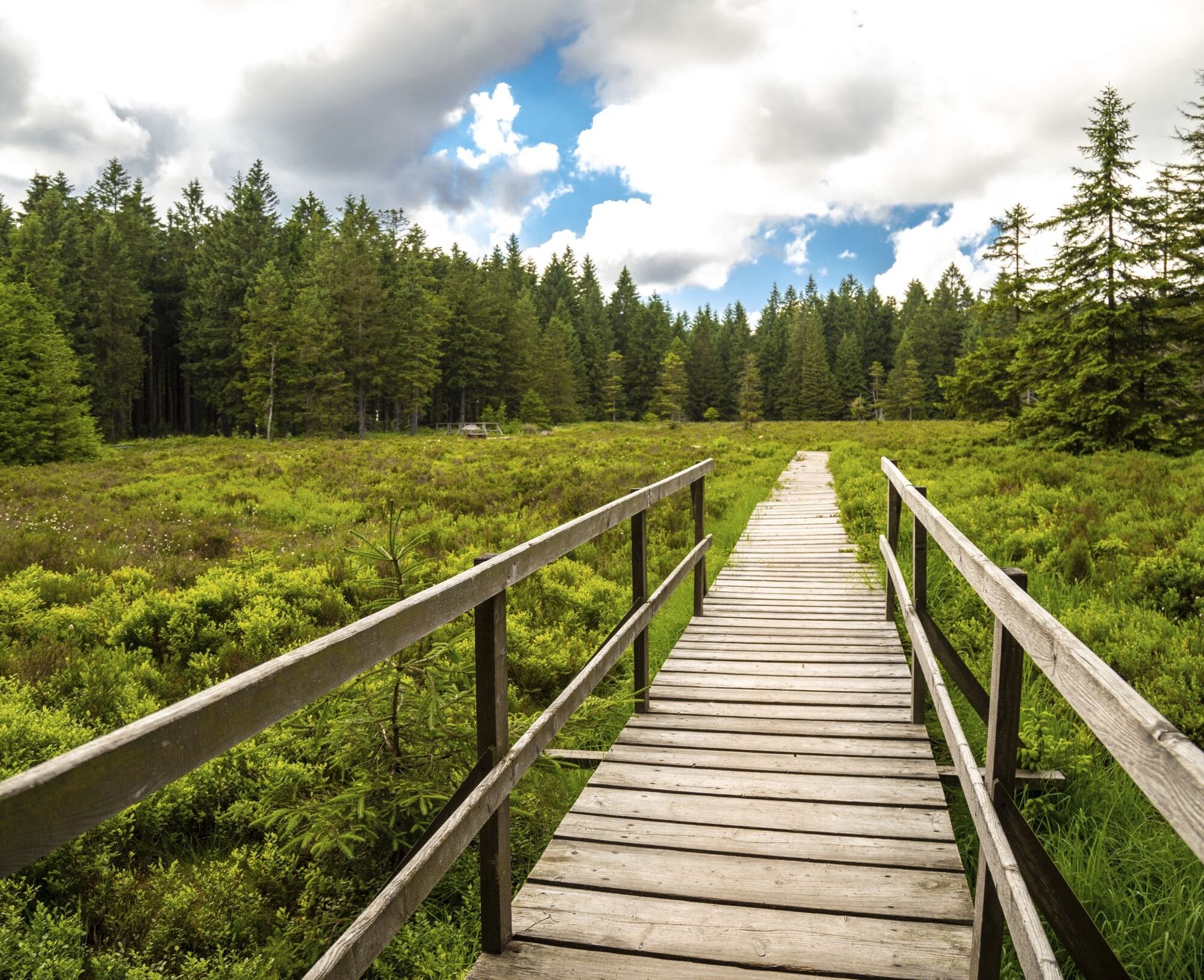
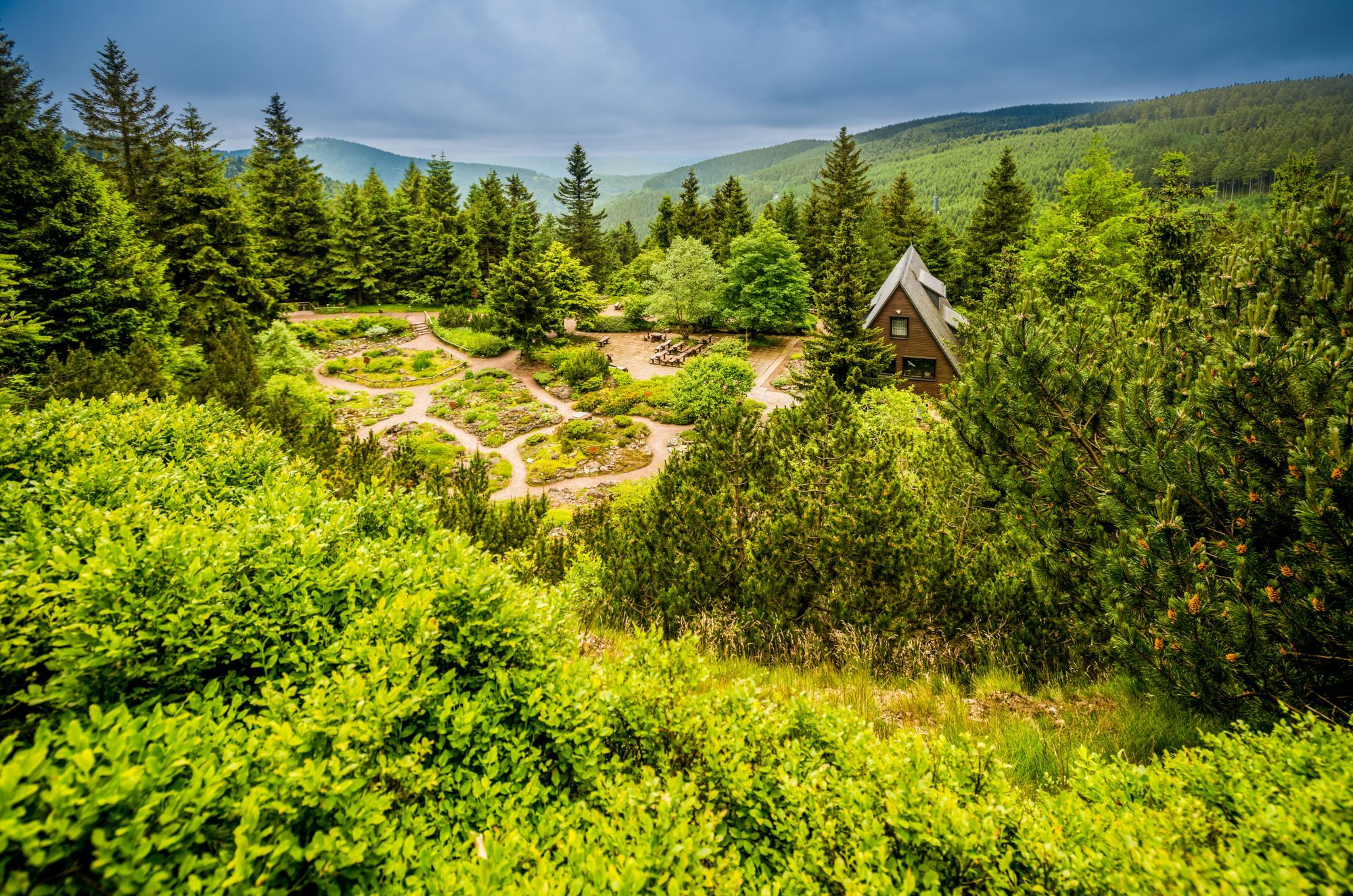
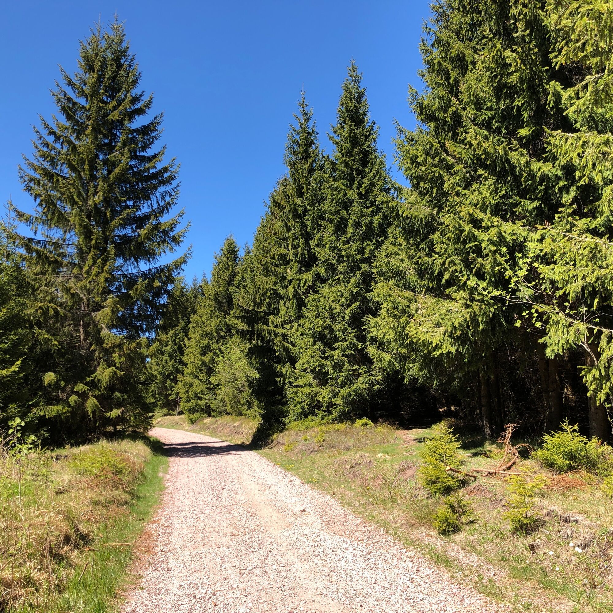

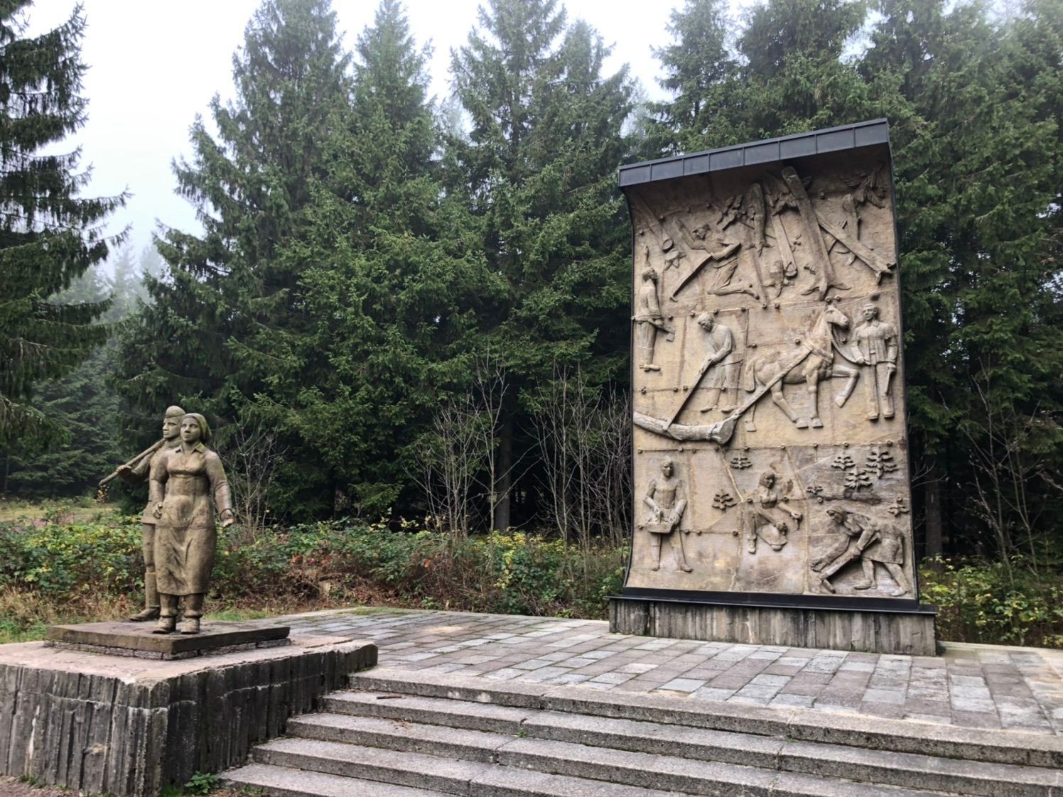
From the Oberhof Information to Tambacher Street towards Grenzadler, turn left towards the Sporthotel, turn right past the sports gymnasium into the forest, main hiking trail towards Schanzenbaude / Grenzadler, at the Schanzenbaude turn left downhill onto the hiking trail towards the ski jumps, follow the path to the next junction, turn left onto the ascent above the ski jumping towers, follow the path towards Veilchenbrunnen, at the fork a short descent to the inn, turn left and follow the Rennsteig-Dolmar Trail (hillside path) to the Rondell, at the forestry workers' monument turn left back to Oberhof.
Sturdy hiking footwear, rain or sun protection, and sufficient provisions.
After a storm, watch out for falling branches. The paths are well maintained, but you should always watch out for roots and uneven ground.
Coming from the A71 take exit 18 (Oberhof) and continue on L3247 towards Oberhof. From the country road, at the first opportunity, turn right towards Oberhof (center).
You can reach Oberhof from the direction of Zella-Mehlis. From there, take bus line 422 to Oberhof bus station. For travel planning, simply use the Deutsche Bahn travel information at this link:
→ Arrival in Oberhof, Bus Station
(please enter your starting point and desired travel period in the following form)
Rondell Oberhof parking lot - paid - medium-sized (Google NAV point)
T1
Dining option: Bergbaude Veilchenbrunnen - please check the opening hours in advance.
Tourist Information Oberhof
Crawinkler Street 2
98559 Oberhof
www.oberhof.de
Tip: In the Oberhof spa park (right at the stairs) you can experience impressive highlights from Oberhof’s history & Thuringian winter sports clubs.
 Uzyskaj wgląd
Zawsze na żywo z ponad 9 500 kamer internetowych. bergfex Jako użytkownik Pro, możesz teraz zobaczyć odpowiednie kamery internetowe dla wielu wycieczek w aplikacji wycieczki od. Pozwala to na bezpośredni podgląd aktualnych warunków.
Uzyskaj wgląd
Zawsze na żywo z ponad 9 500 kamer internetowych. bergfex Jako użytkownik Pro, możesz teraz zobaczyć odpowiednie kamery internetowe dla wielu wycieczek w aplikacji wycieczki od. Pozwala to na bezpośredni podgląd aktualnych warunków.
Popularne wycieczki w okolicy
-
4,2
Rund um die Ohratalsperre
światłoWędrówka 14,5 km -
4,4
Circular hike "Old Tambach Dam", Tambach-D., Thuringian Forest
średniWędrówka 8,33 km -
3,8
Wanderung zum Spitterfall
średniWędrówka 14,6 km -
4,8
Circular hike - Schmalwasser reservoir - Tambach-Dietharz - Thuringian Forest
średniWędrówka 13,8 km -
4,0
Zu den Schanzen im Kanzlersgrund
średniWędrówka 9,58 km -
4,0
Circular hiking route "Oberschönauer Felsenwanderung" - Steinbach-Hallenberg - Thuringian Forest
ciężkiWędrówka 12,0 km -
5,0
Hiking - Summit hiking trail - Suhl-Goldlauter - Thuringian Forest
ciężkiWędrówka 32,1 km -
4,5
Hike over the Rennsteig & the Schneekopf to the Schmücke
ciężkiWędrówka 20,9 km -
5,0
Circular hike to Bärenstein & Pfanntalsteich
średniWędrówka 9,10 km -
5,0
Circular Hiking Route - Lütsche-Flößgraben - Thuringian Forest
ciężkiWędrówka 13,8 km

Wędrówki i tropienie


Nie przegap ofert i inspiracji na następne wakacje
Twój adres e-mail została dodana do listy mailingowej.





