


Pinzgau Marian route stages 15 and 16: Stuhlfelden - Saalbach-Hinterglemm - Hochfilzen
Zdjęcia naszych użytkowników
-
 © Johann PegrinUtworzono dnia 28.03.2026
 -
 © Michi SteiertUtworzono dnia 08.03.2026
 -
 © KatrinUtworzono dnia 03.01.2026
 -
 © Sarah DürrUtworzono dnia 11.08.2025
 -
 © Sarah DürrUtworzono dnia 11.08.2025
 -
 © Franco Nicastro 1Utworzono dnia 05.08.2025
 -
 © Franco Nicastro 1Utworzono dnia 05.08.2025
 -
 © Franco Nicastro 1Utworzono dnia 05.08.2025
 -
 © Franco Nicastro 1Utworzono dnia 05.08.2025
 -
 © Franco Nicastro 1Utworzono dnia 05.08.2025
 -

 © Andreas AufschnaiterUtworzono dnia 05.09.2022
 -
 © Andreas AufschnaiterUtworzono dnia 05.09.2022
 -
 © Andreas AufschnaiterUtworzono dnia 05.09.2022
 -
 © Marcel PriesterUtworzono dnia 15.02.2026
 -
 © Armin SemanicUtworzono dnia 12.02.2026
 -

 © CichyUtworzono dnia 18.01.2026
 -
 © CichyUtworzono dnia 18.01.2026
 -
 © Roswitha ZeillerUtworzono dnia 18.08.2025
 -
 © Roswitha ZeillerUtworzono dnia 18.08.2025
 -
 © Matej Mikus 1Utworzono dnia 24.06.2025
 -
 © Andreas WürtlUtworzono dnia 01.06.2025
 -

 © martl122Utworzono dnia 27.04.2025
 -
 © Matej Mikus 1Utworzono dnia 14.05.2024
 -
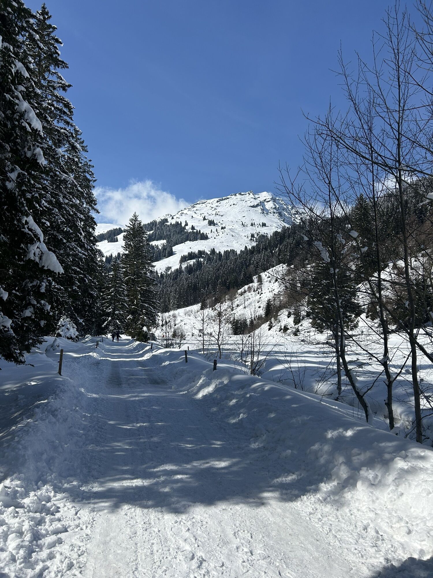
 © Matej Mikus 1Utworzono dnia 14.05.2024
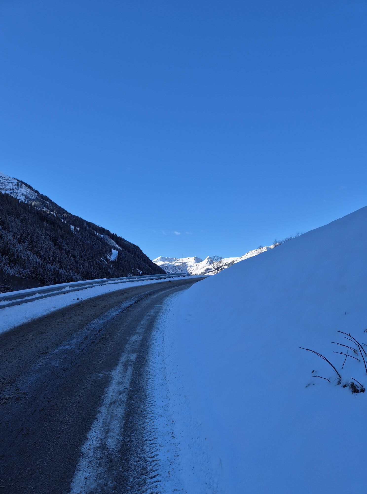

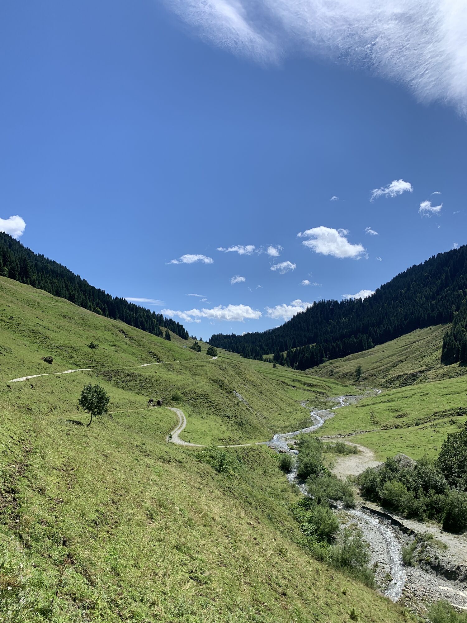

From the village center of Stuhlfelden via the Postalm and the Bürglhütte to the Murnauer notch. Descent to Lengau through the Vogelalm valley (Lengauer Chapel) and along Promenade 3 further to Saalbach...
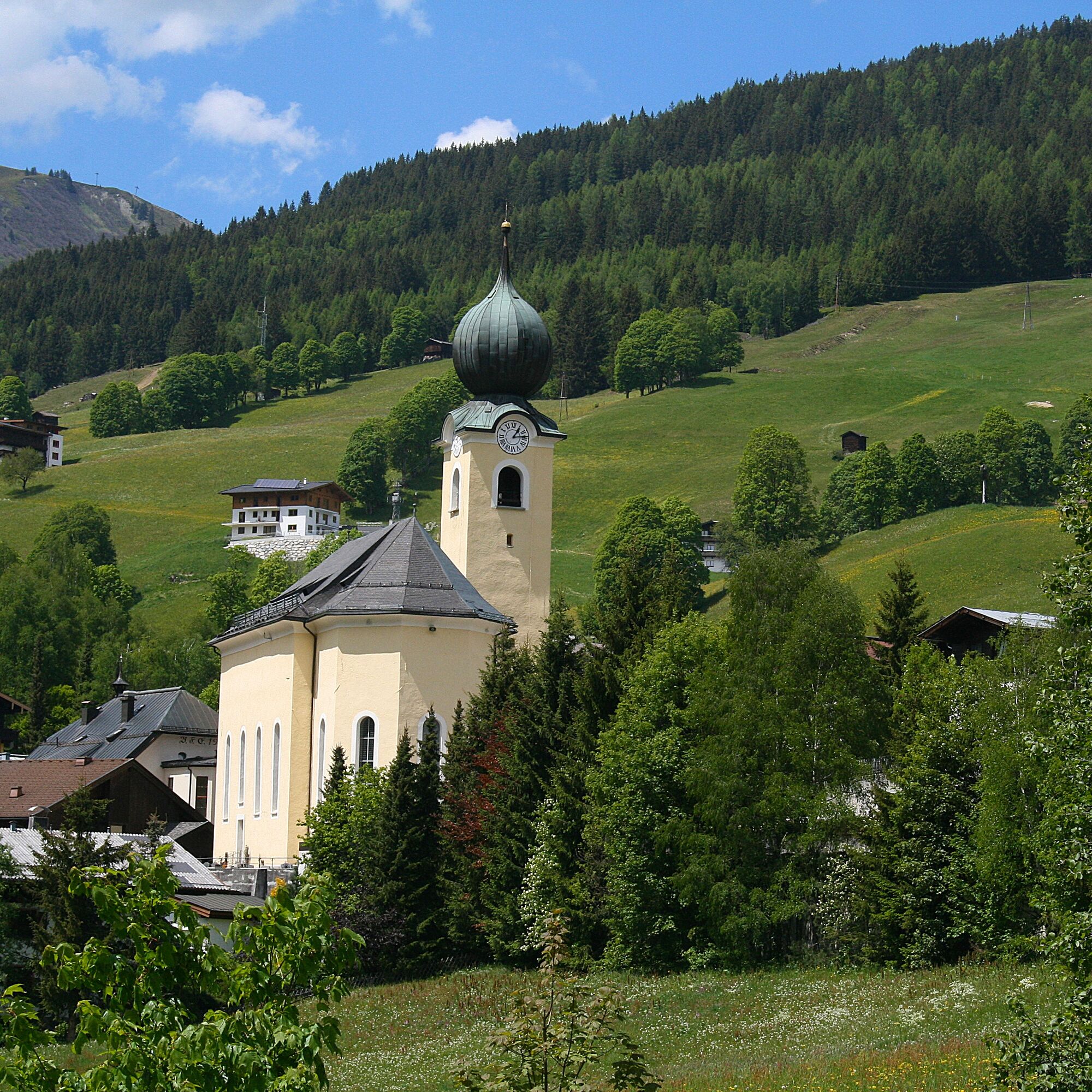
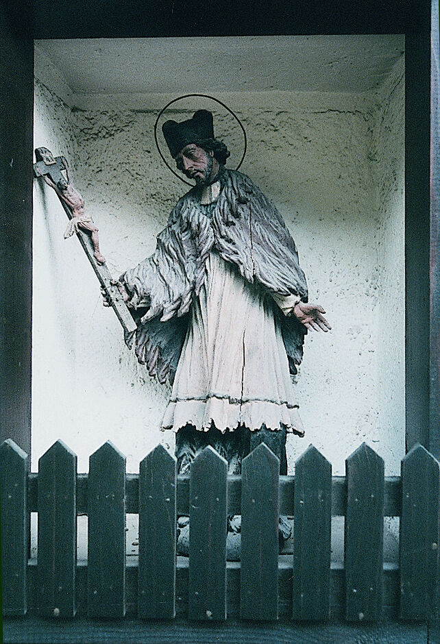
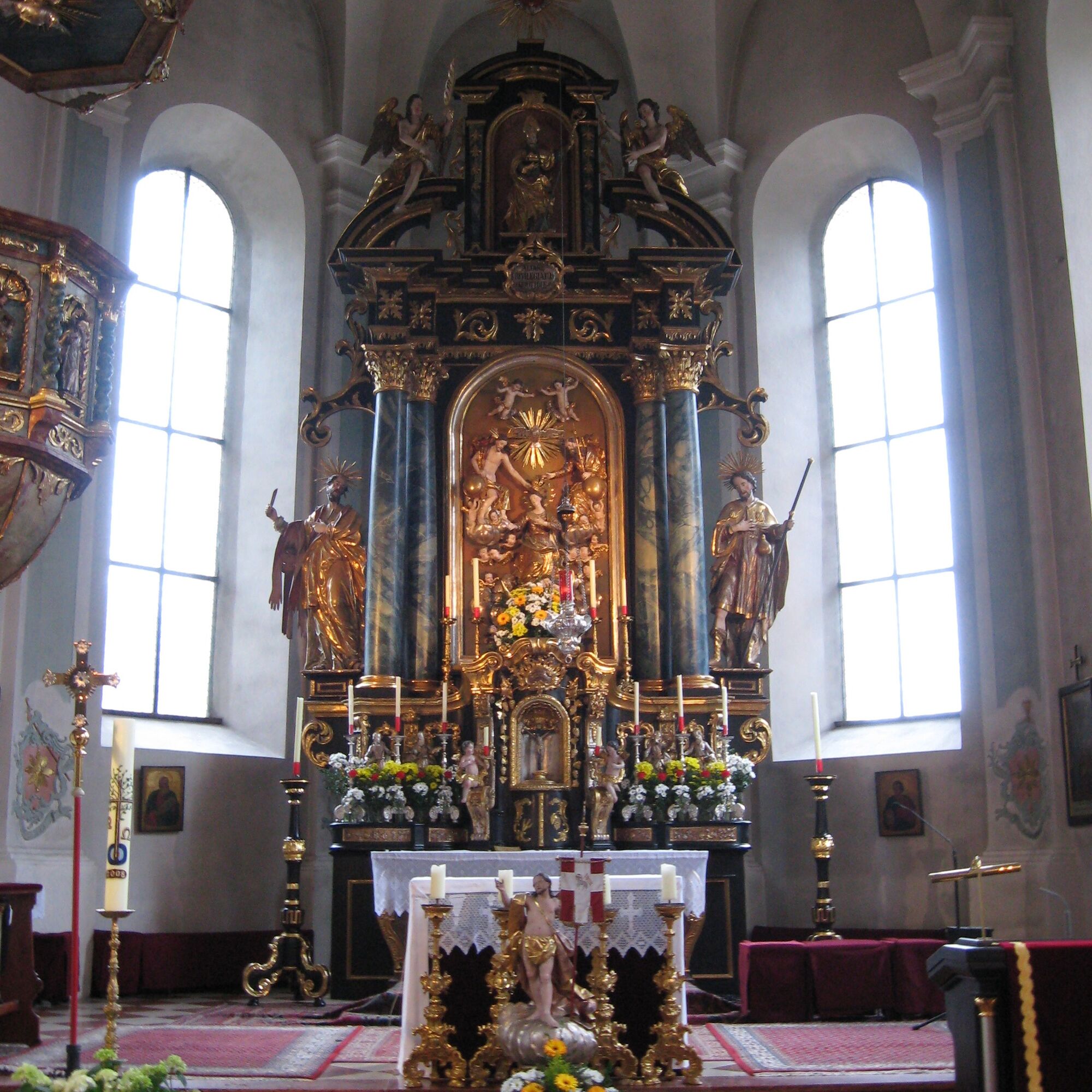
From the village center of Stuhlfelden via the Postalm and the Bürglhütte to the Murnauer notch. Descent to Lengau through the Vogelalm valley (Lengauer Chapel) and along Promenade 3 further to Saalbach (walking time approx. 2.5 hours). Sightseeing opportunities in Saalbach (homestead and ski museum, statue of St. John of Nepomuk, parish church, tower house, cross chapel and Mühlau chapel).
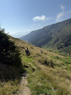
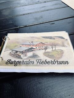
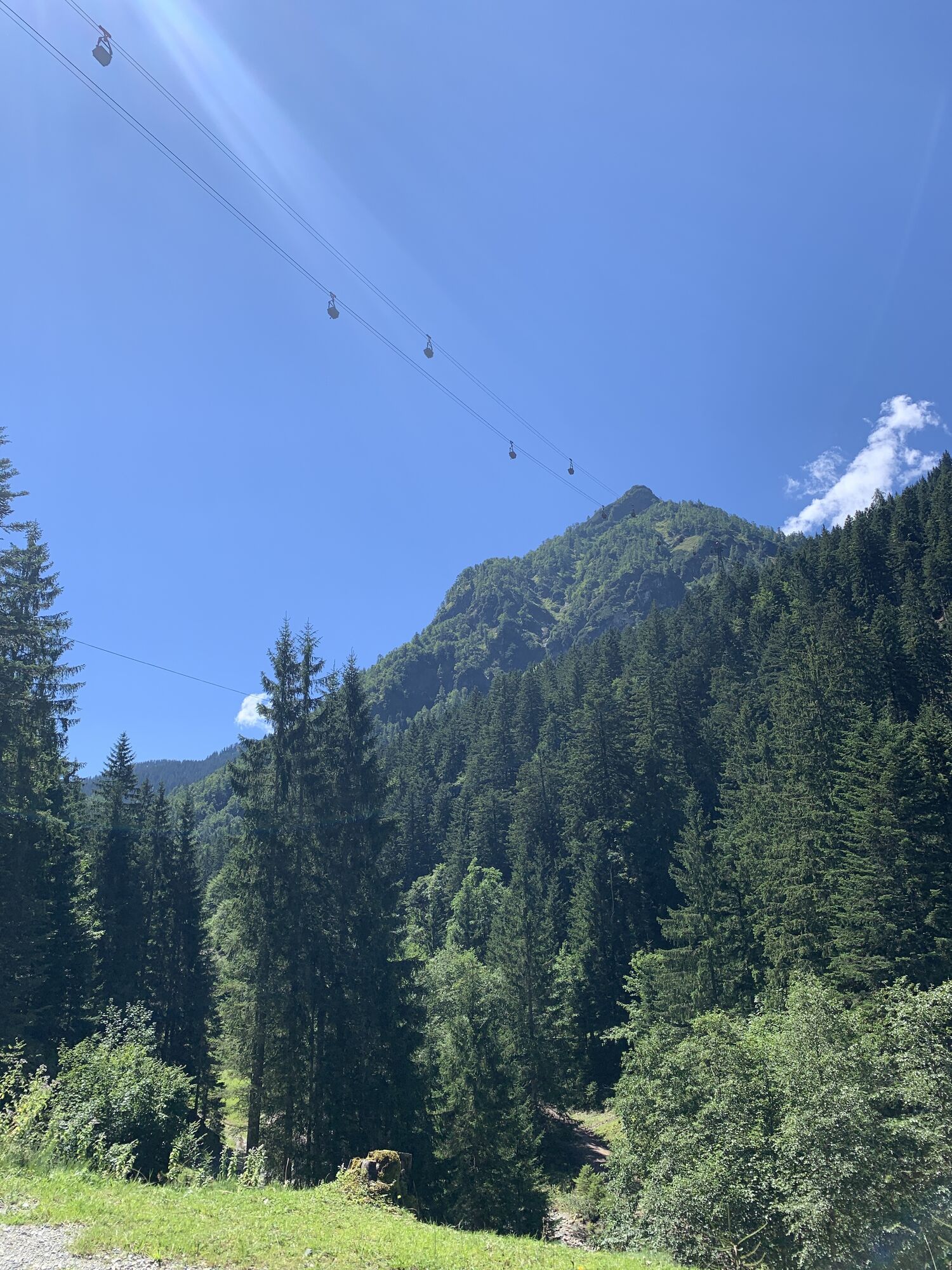
From Oberdorf Saalbach you reach the Spielberg Chapel via the Spielberg path. Descent via Burgeralm, Eiserne Hand and Feistenau to Hochfilzen.

Stage 15:
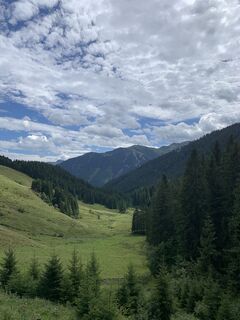
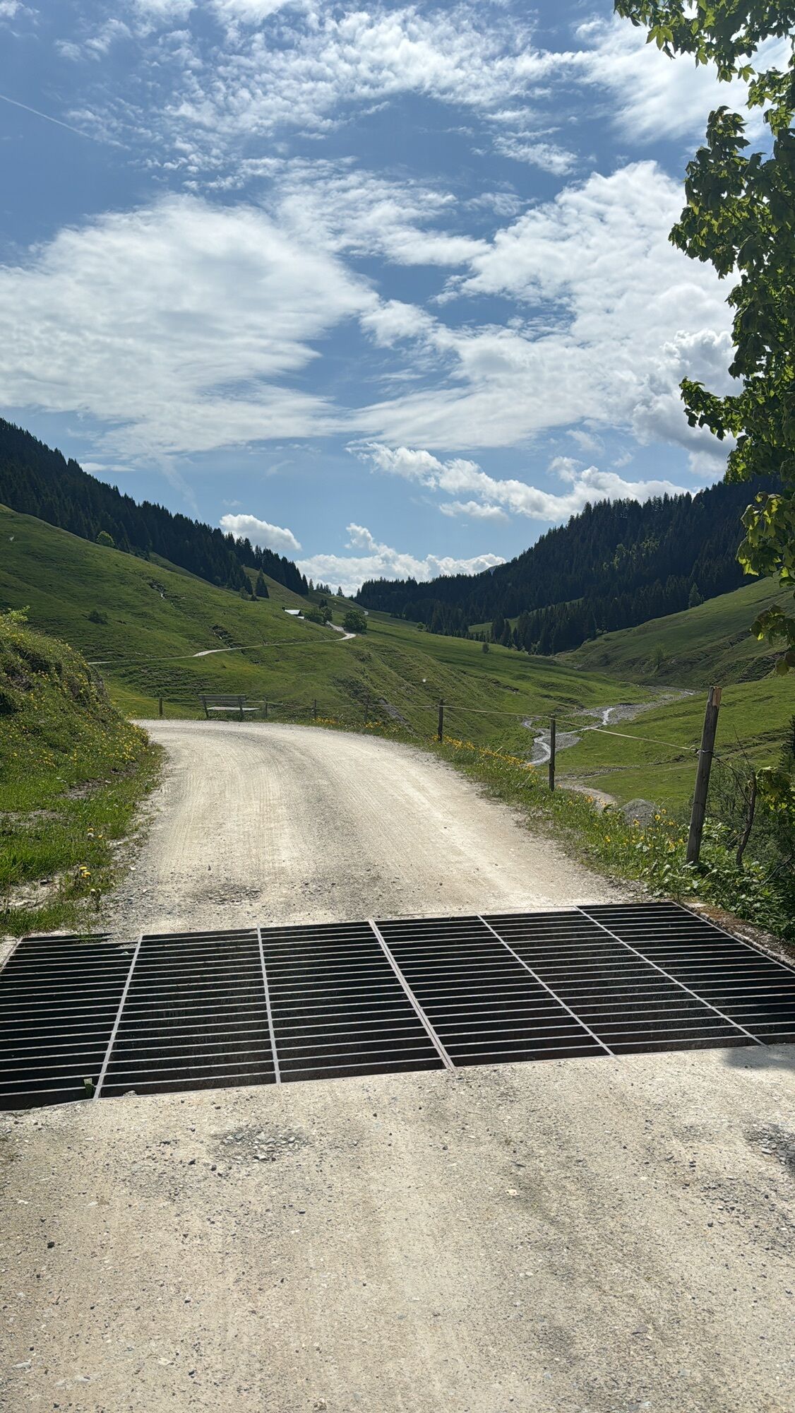
At Lichtenau Castle, turn left, past the old Geiger wood house, up the road towards the Stuhlfeldner Graben and always follow the Bürglhütte marking. The forest path rises steeply to the west, crosses the Mühlbach, passes the Postalm to the operated Bürglhütte, then steeply uphill to the north to the Murnauer notch (1959 m). The descent takes place on a hiking trail, turning into an alpine path, passing several alpine pastures along the Vogelalm valley to the Stefflalm and on the road to the Lengau parking lot. Along the Saalach riverbank path through Hinterglemm, change to the left bank at the end of the village. Soon you cross the main road again and follow the riverside promenade path to Saalbach.
Stage 16:
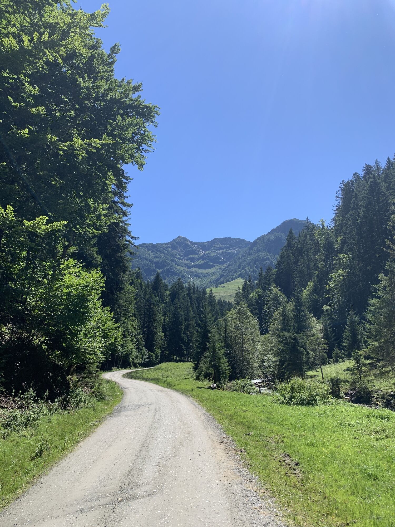
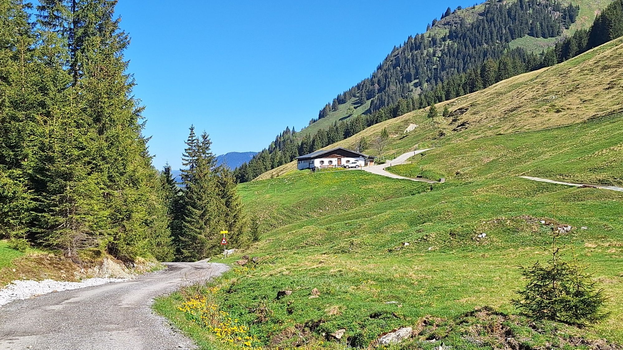
Cross the village square northwards from the parish church and follow the Spielbergbach for a long time upstream on the left side. The alpine gravel path gently ascends to the Spielberghaus (1019 m). Between the mountain inn and chapel a short climb to the next fork, where you turn left to the descent into Tyrolean land. Follow the alpine path under the material cableway, then take the steeply descending serpentine path to the Spielbergbach, the flat alpine path to the Eiserne Hand inn and at the next fork turn right following the signpost Hochfilzen. In the district Feistenau, take the path along the federal road to the parish church.
Stuhlfelden is approx. 23 km from Zell am See (direction Mittersill)
http://www.postbus.at/de/Fahrplanauskunft/index.jsp
http://www.pinzgauer-lokalbahn.info/index.php/fahrplan-preise
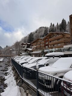
Information about accommodation in Saalbach Hinterglemm can be found at www.saalbach.com/
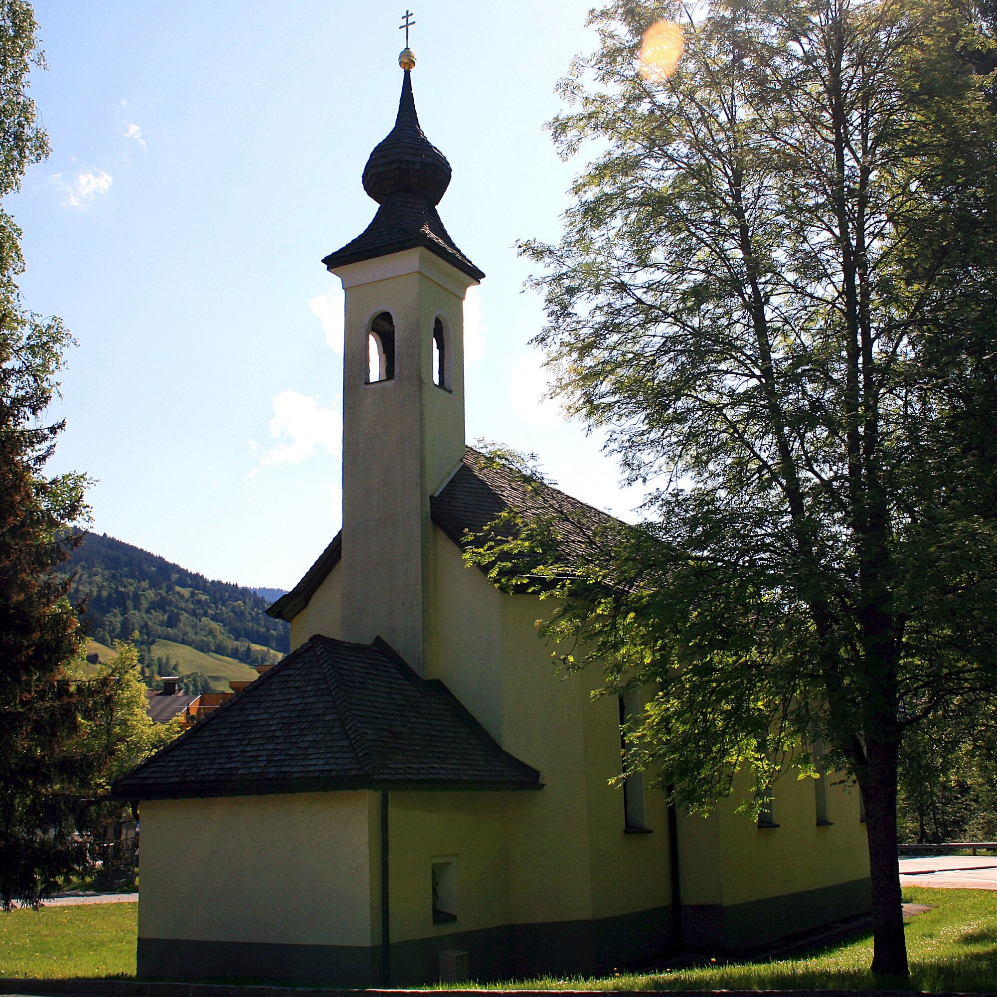
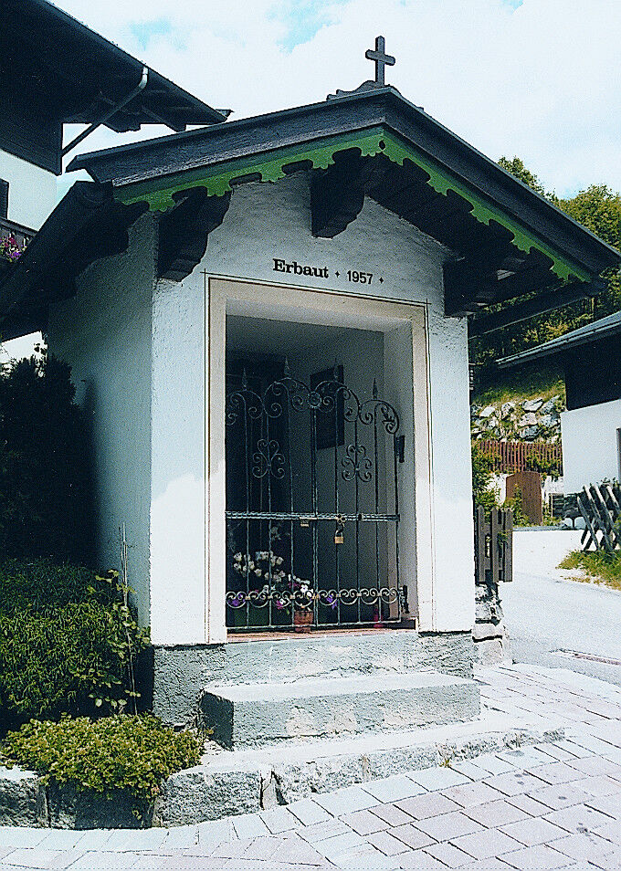
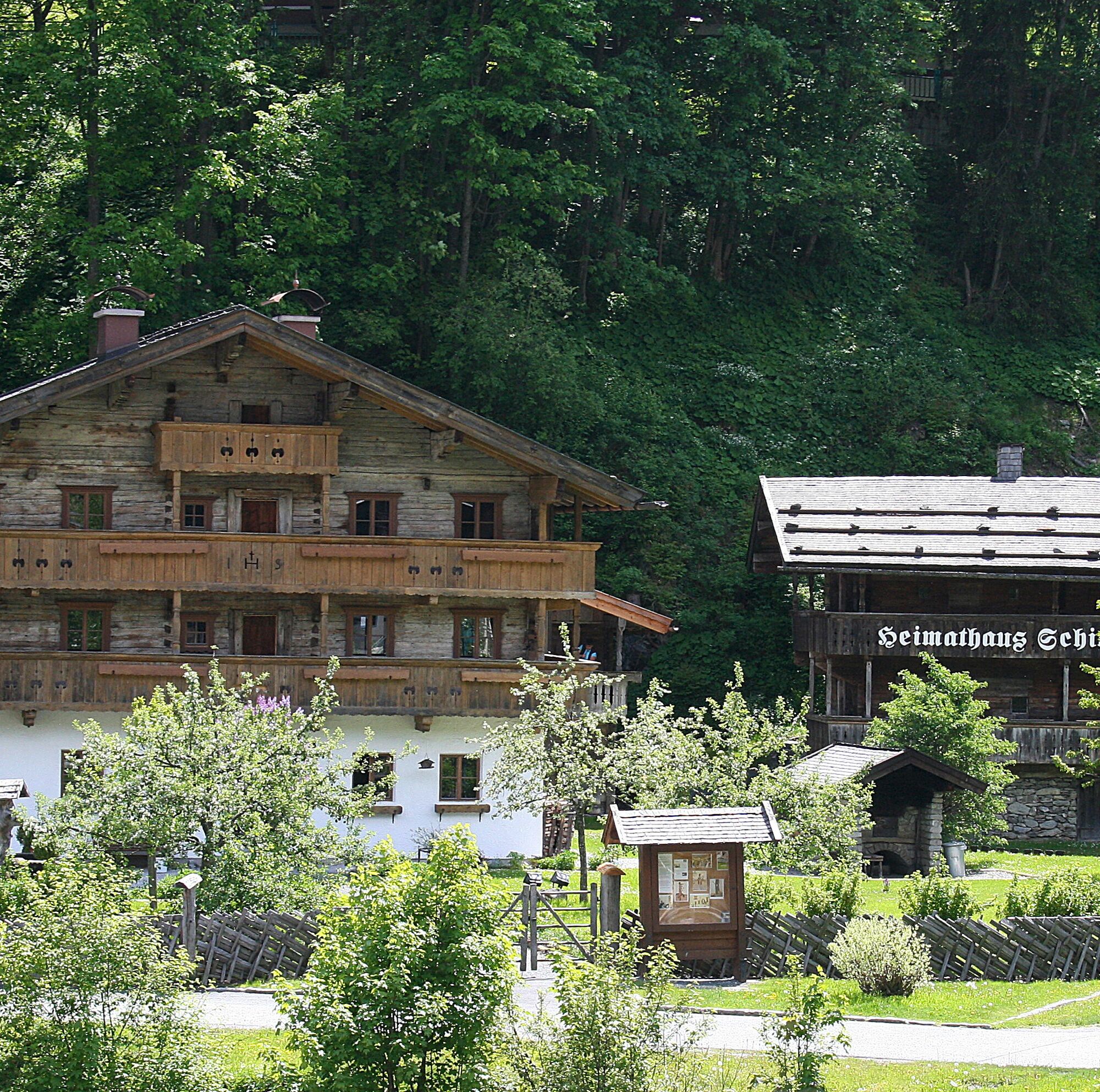
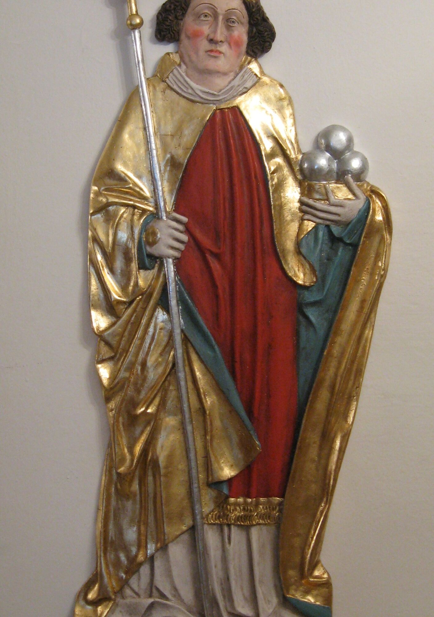
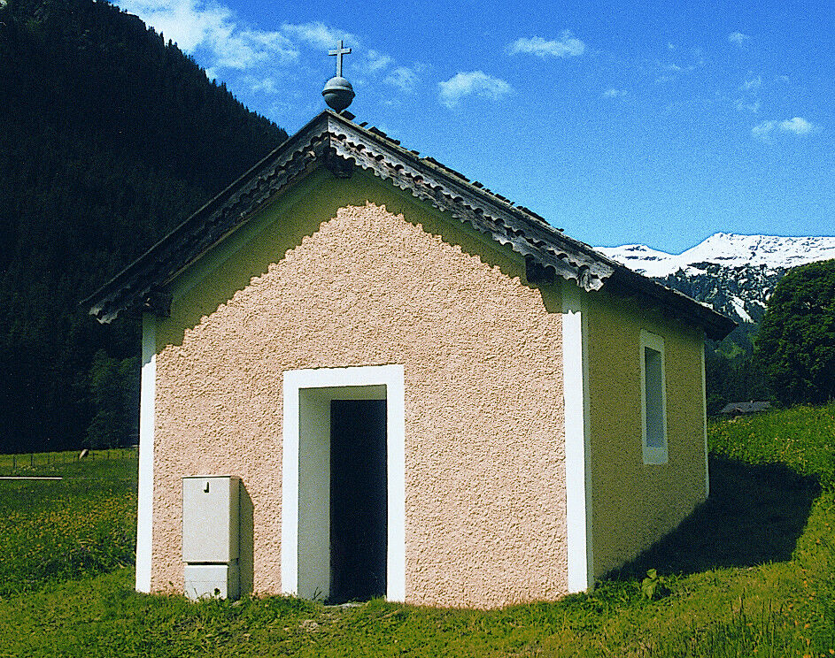
Sights along the Marian route in Saalbach Hinterglemm
Lengauer Chapel (accessible at any time) Statue of St. John of Nepomuk (exterior niche of the parish courtyard Saalbach, east side) Homestead and Ski Museum (open every Tuesday and Thursday from 2:00 pm, guided tours possible) Parish Church Saalbach (accessible at any time) Cross Chapel - viewing of votive panels possible upon request - Mr. Pastor Gradwohl Tel: +43 (0)6541 6215 Tower House (old watchtower right next to the parish church - no interior visit possible) Mühlau Chapel (near Hotel Kendler, Oberdorf) - accessible at any time Spielberg Chapel with Emperor's plaque (accessible at any time)Kamery internetowe z trasy
-
Schattberg - West
-
Schattberg Westgipfel
-
Hinterglemm Dorf
-
Kohlmais Tal
-
Hochfilzen - Ferienwohnungen Schreder
-
Reckmoos
-
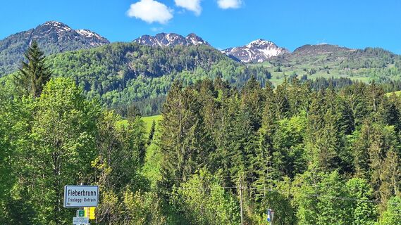
Fieberbrunn - Buchensteinwand in Tirol
-
Hinterglemm - Saalbach
-
Saalbach-Hinterglemm - Schattberg Ost
-
Saalbach-Hinterglemm - Zwölferkogel
-
Saalbach-Hinterglemm - Wildenkarkogel
-
Fieberbrunn - Lärchfilzkogel
-
Lärchfilzkogel
-
Saalbach - Hotel Alpinresort
-
Schattberg-Ost
-
Zwölferkogel
-
Wildenkarkogel
-
Saalbach-Hinterglemm - Kohlmais
-
Kohlmaiskopf
-
Fieberbrunn - Bikepark, Streuböden Talstation (836m)
-
Fieberbrunn - Streuböden Bergstation
-
Pillersee - Jakobskreuz
-
Martenhof
-
Reckmoos
-
Wohlfühlhotel-Johanneshof
-
Fairhotel Hochfilzen
-
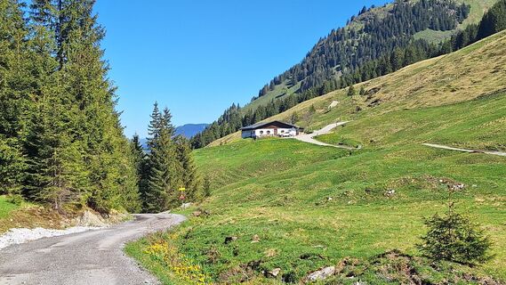
Eberharthof - Saalbach-Hinterglemm
Popularne wycieczki w okolicy
-
5,0
Panorama route 3 peaks and 2 lakes
średniWędrówka 7,35 km -
3,8
Maurerkogel (Top)
Wędrówka 10,5 km -
5,0
Leo’s play hiking trail
światłoTrasa tematyczna 4,89 km -
4,0
Berg der Sinne
światłoWędrówka 4,39 km -
4,7
Tristkogel
ciężkiWędrówka 15,6 km -
4,2
Saalachtaler Höhenweg EAST (Asitz - Biberg)
średniWędrówka 13,1 km -
4,6
Kitz Bhf- Kitzbühler Horn und zurück zum Alpenhaus
średniWędrówka 11,8 km -
4,0
Mittersill: ski tour Sonnalm
średniWycieczka narciarska 4,87 km -
4,2
Spielbergalmen
średniWędrówka 10 km -
4,4
Saalachtal high trail WEST
średniWędrówka 19,3 km

Wędrówki i tropienie


Nie przegap ofert i inspiracji na następne wakacje
Twój adres e-mail została dodana do listy mailingowej.