






Mittersill: ski tour Sonnalm

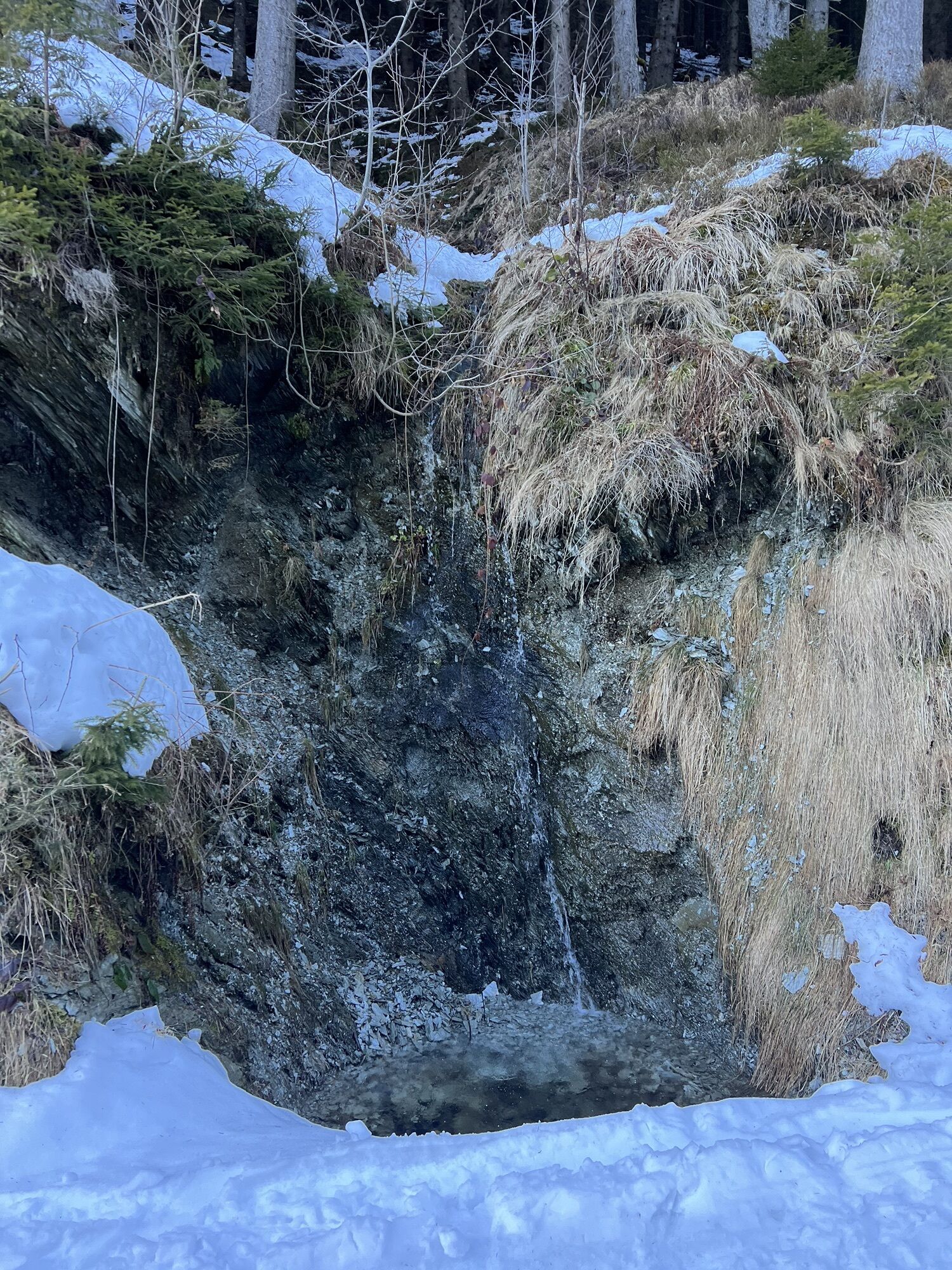
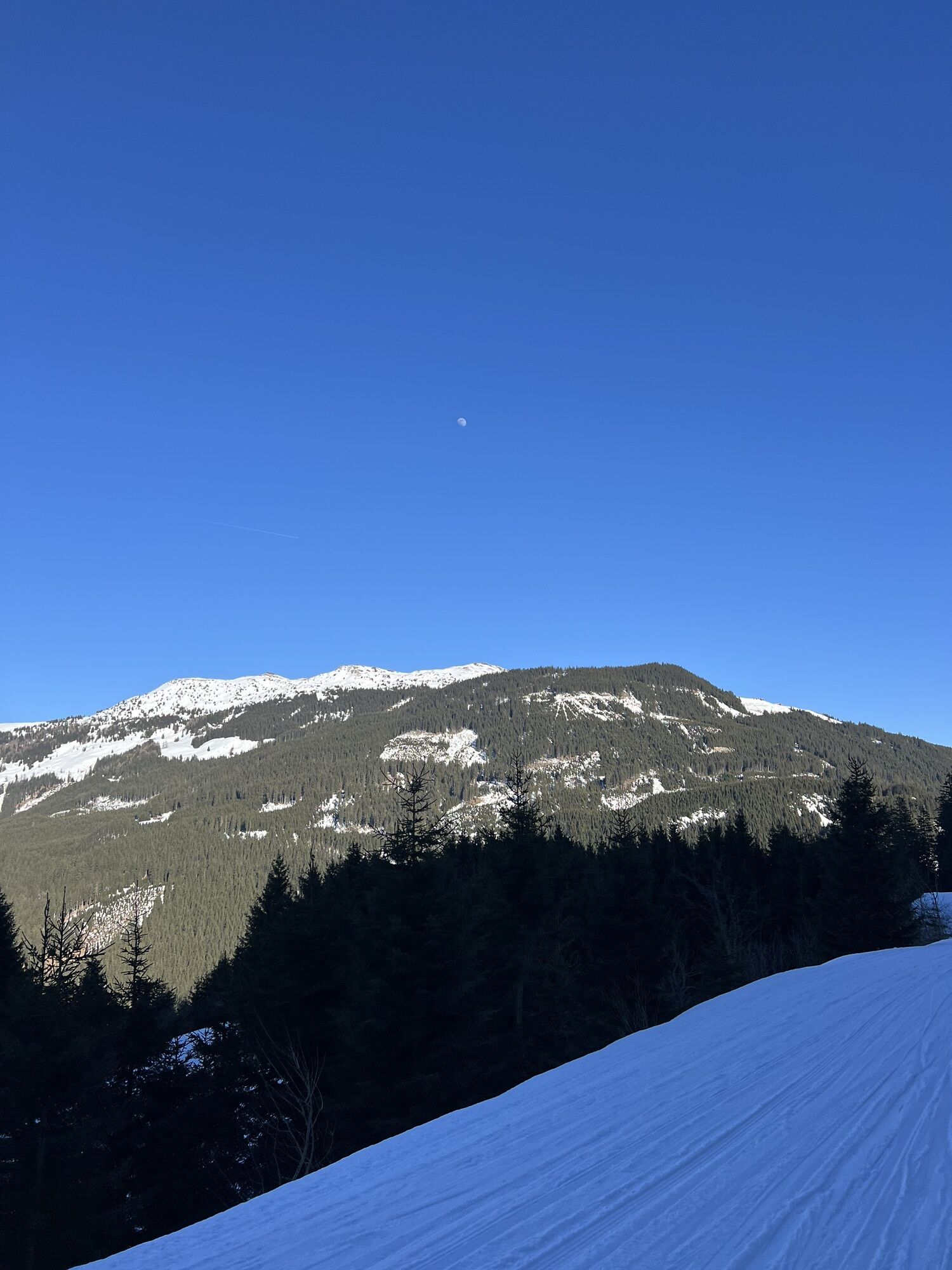
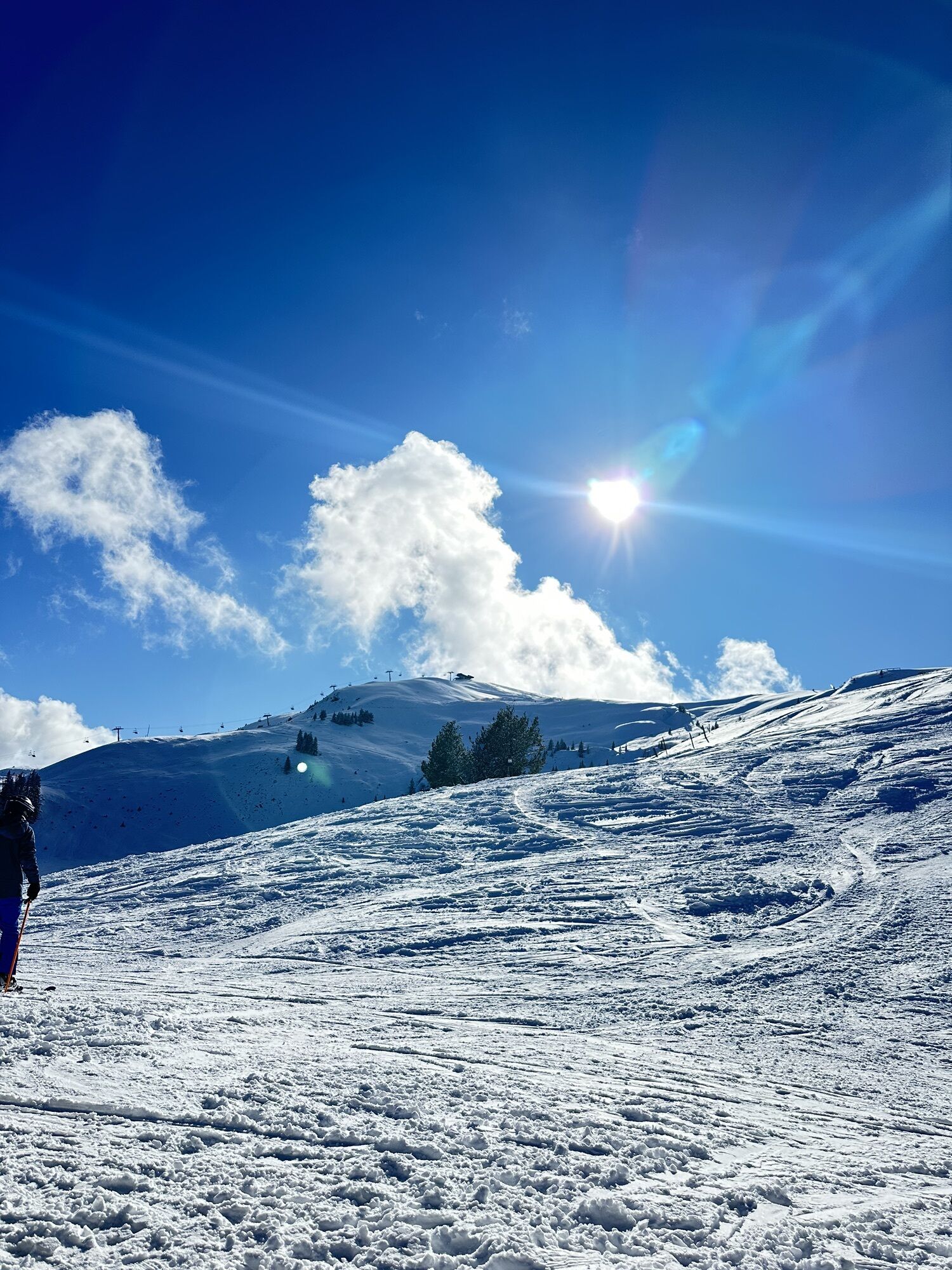
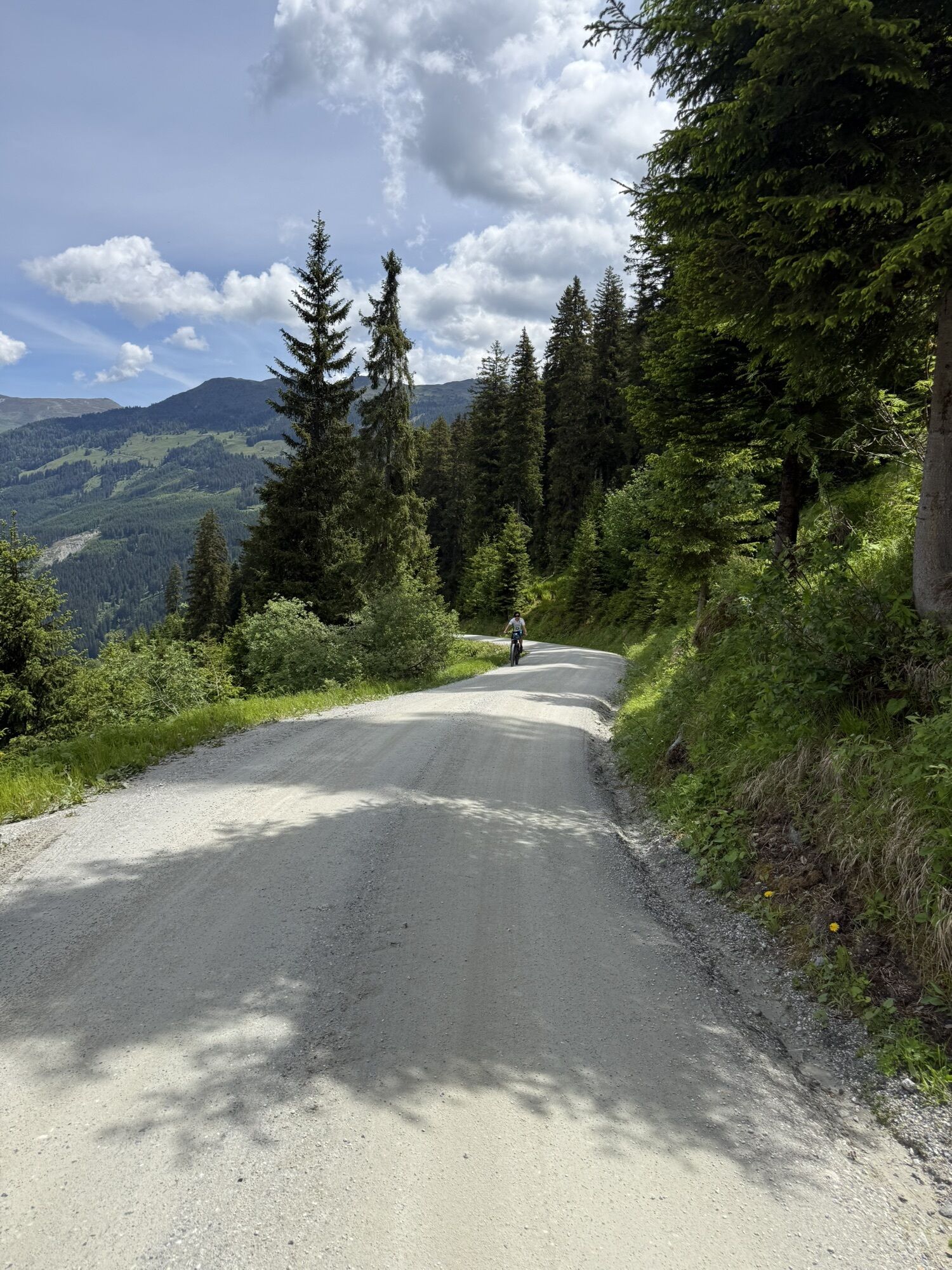
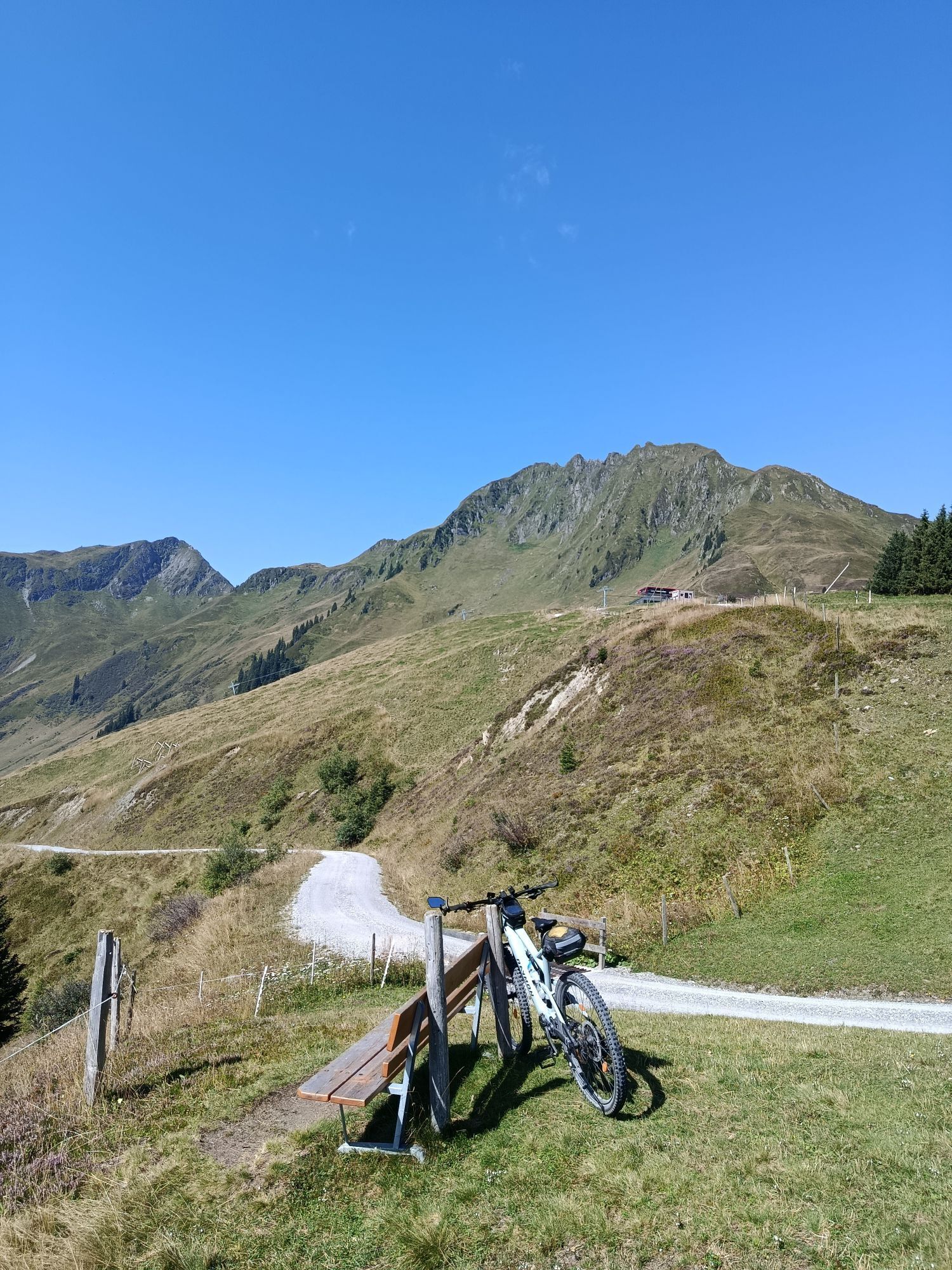
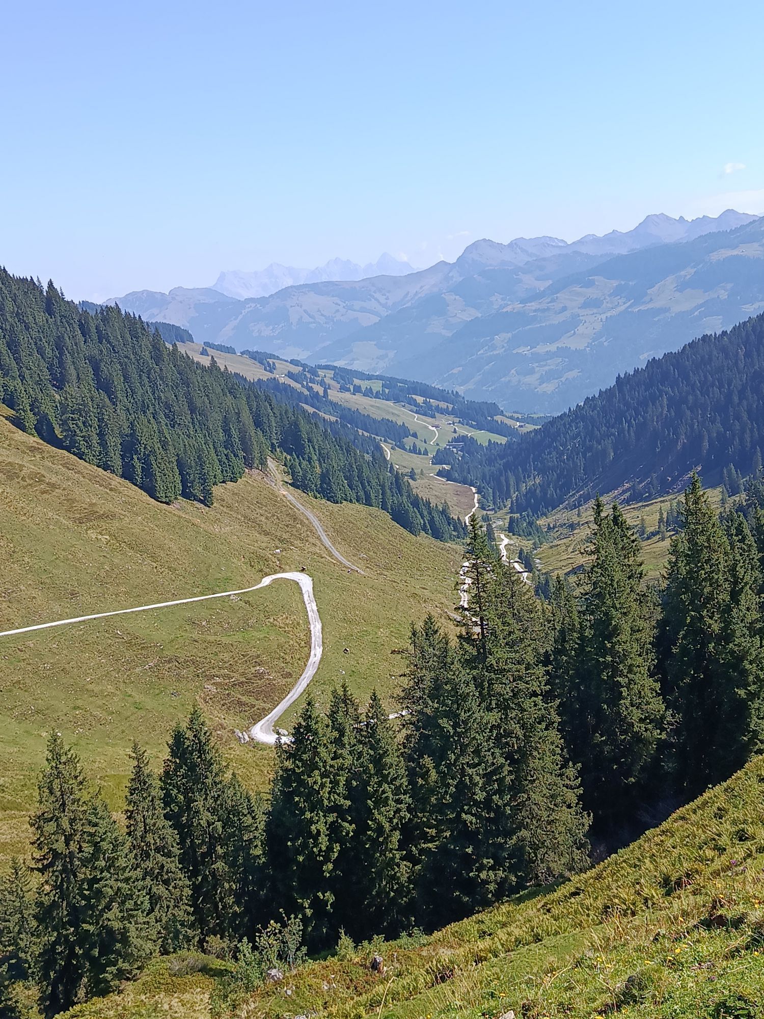
The ski tour to Sonnalm is a route for both sports enthusiasts and connoisseurs. The route follows a gently ascending ski trail. During the tour, there are sections through the forest as well as many with...
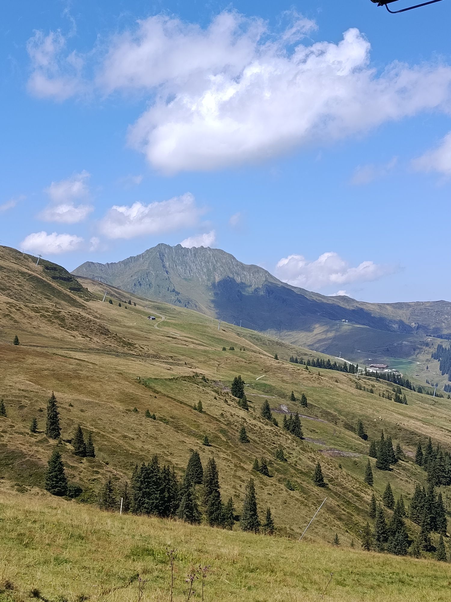
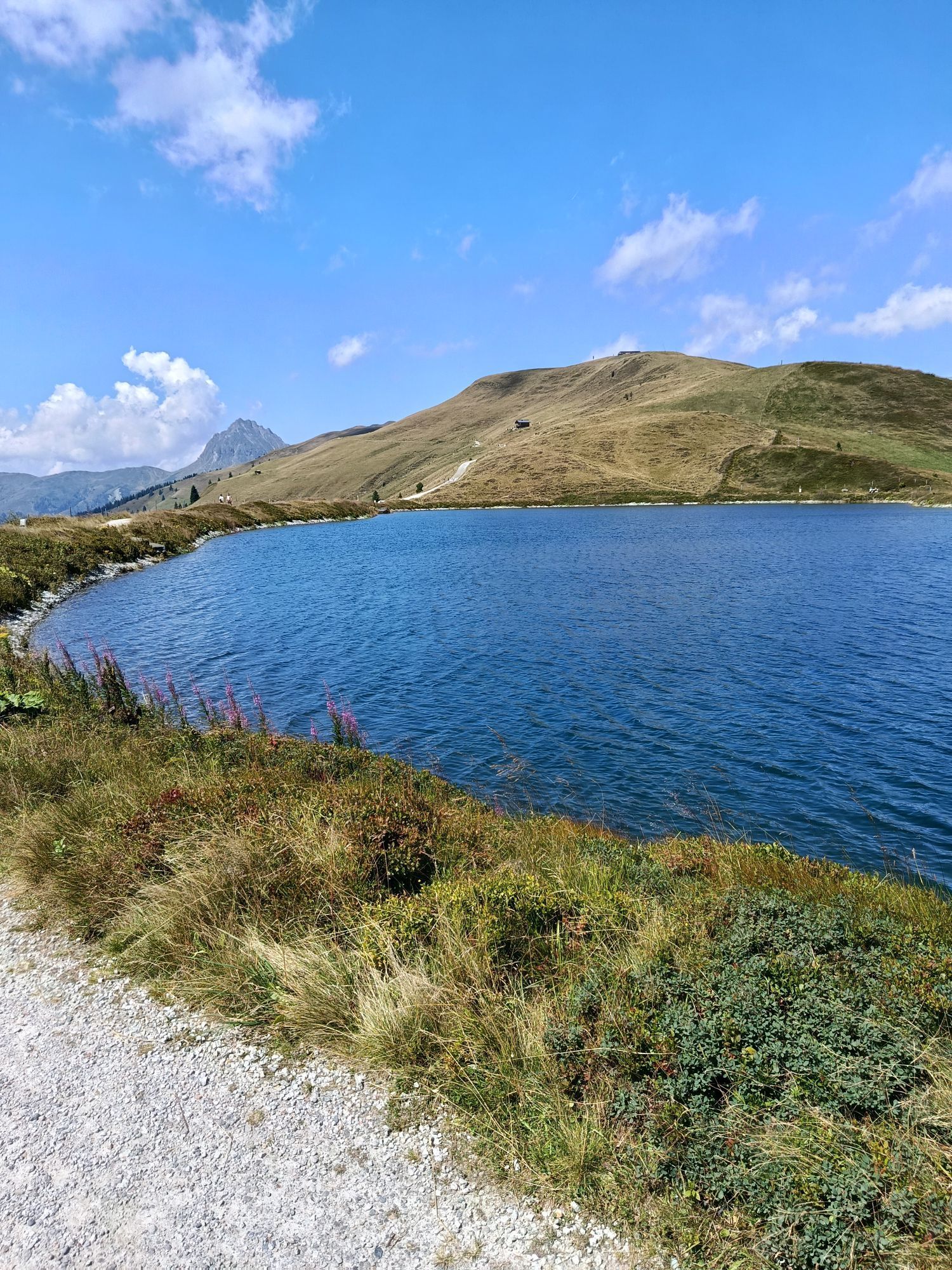
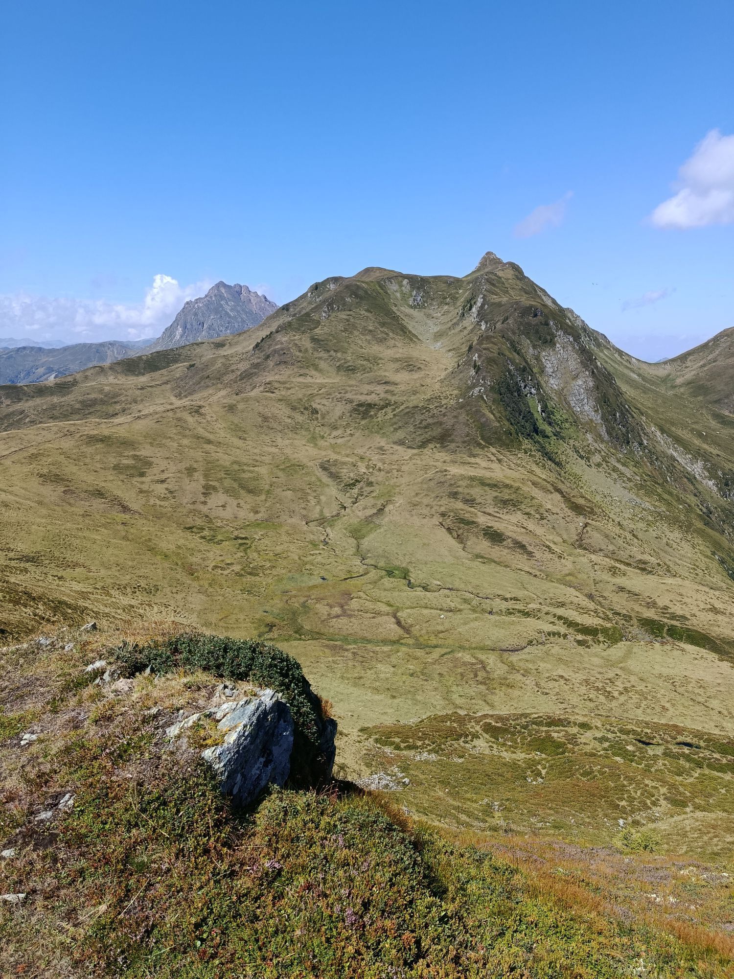
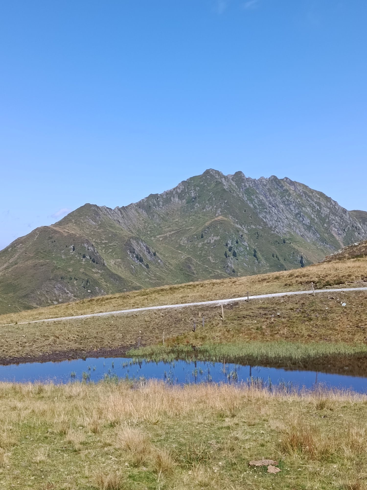
The ski tour to Sonnalm is a route for both sports enthusiasts and connoisseurs. The route follows a gently ascending ski trail. During the tour, there are sections through the forest as well as many with guaranteed panoramic views. You can enjoy nature and the mountain world in the Kitzbühel Alps. At the starting point of the route (Resterhöhe), you are still in the state of Salzburg. The boundaries between the states quickly fade, so you spend most of the route in the state of Tyrol.

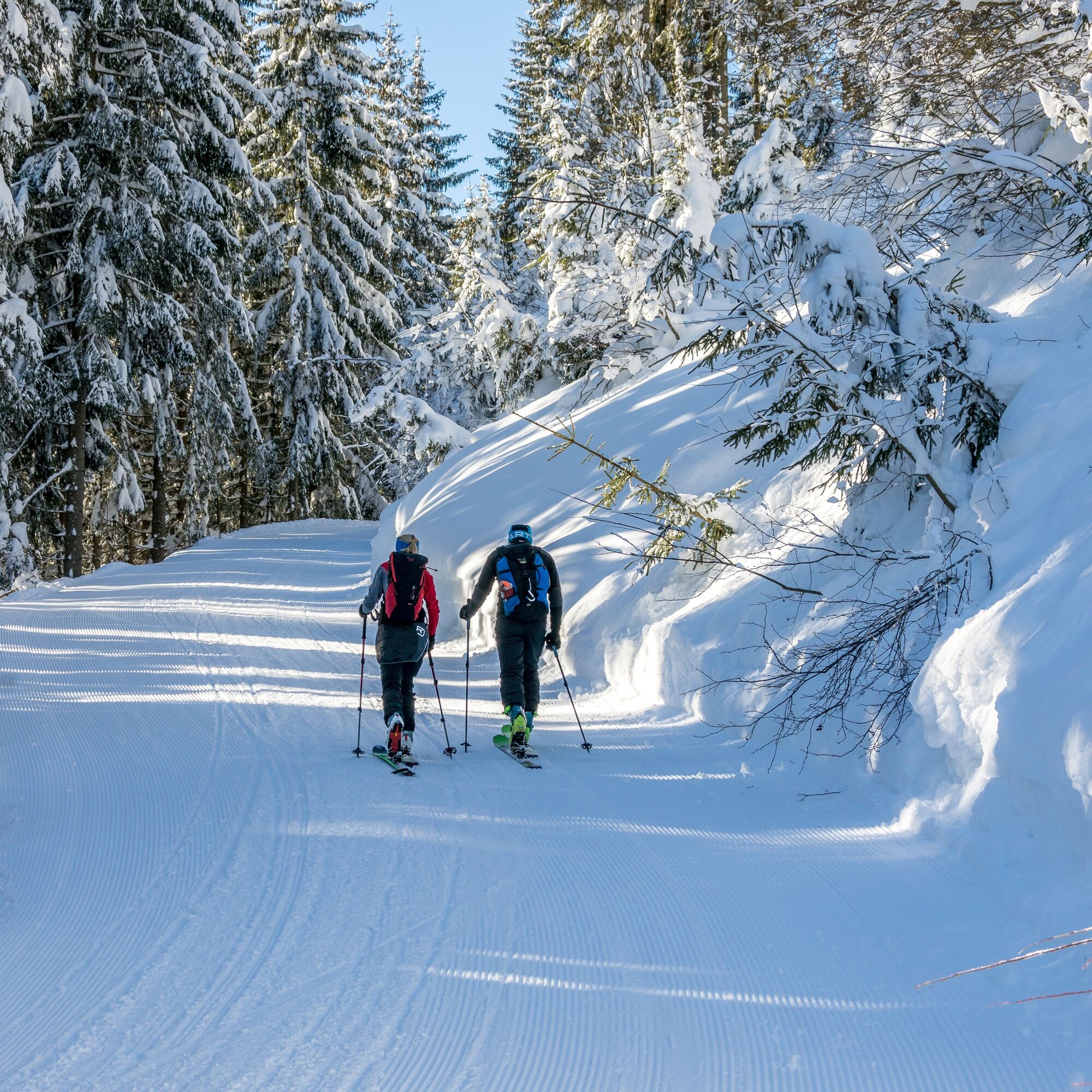
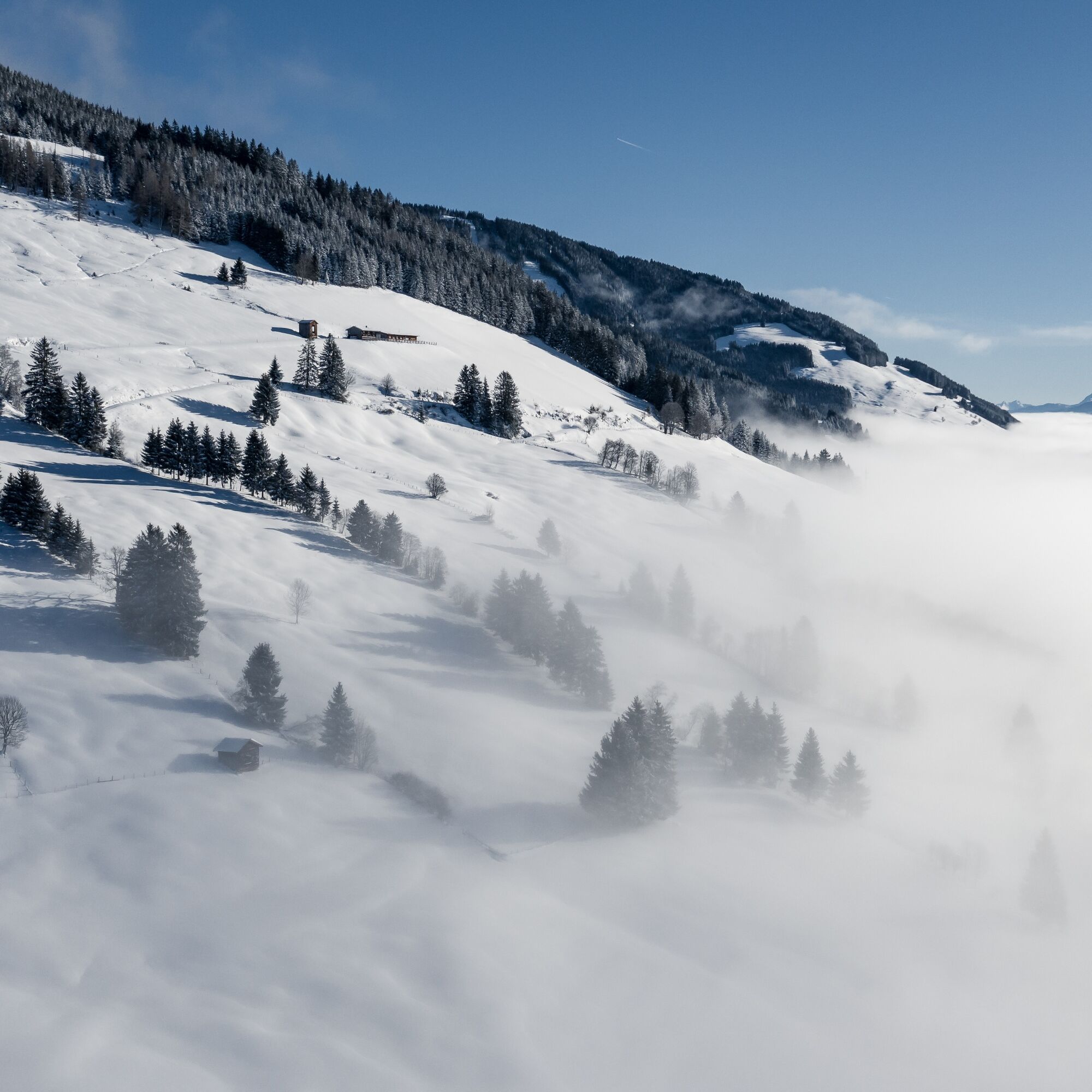

At the Resterhöhe parking lot, you will see a ski trail (blue piste No. 76) to the right next to the Resterhöhe lift, which leads into the forest. You start your route and follow the ski trail (No. 76). The path goes straight ahead. Although there are some branches to other forest roads, you always go straight through the forest towards Sonnalm (No. 76). At the end of the forest, you continue along the path towards Sonnalm, where you pass the Hanglam lift. On the left side, you see the Hangalm, and your destination is not far from there. You pass the Hangalm and follow the ski trail (No. 76), which curves. After the curve, you can already see your destination, the Sonnalm.
Descent: Ski down the ski trail No. 76 back to your starting point.
Tour skis, touring boots, touring poles, gloves, backpack, winter clothing, helmet for the descent
Equipment rental: Sport Breitfuss Mittersill & Sport Steger Mittersill
Starting from Mittersill, drive along the Pass Thurn federal road, past Mittersill Castle. You always follow the road. After some winding passages, you drive through a sharp right curve, where you see the gondola of the Panoramabahn Kitzbüheler Alpen on the left side. You continue on the federal road. After about 1 km, you pass the Ferien Hotel Pass Thurn. After the hotel, you already see the Resterhöhe lift on the left side, where you turn left into the parking lot. You have reached your starting point of the route, the Resterhöhe parking lot.
Accessible by Postbus 4010, 950x, or the Tyrolean ski bus.
Stop: Pass Thurn Passhöhe
There are enough parking spaces available at the Pass Thurn Resterhöhe parking lot. Parking spaces are subject to a fee.
Mittersill Plus GmbH, Zeller Straße 2, 5730 Mittersill, Tel. +43(0) 6562 4292
Enjoy the panorama and the sun on the Sonnalm terrace and indulge yourself with traditional delicacies.

Kamery internetowe z trasy


Popularne wycieczki w okolicy
- 3,7
Smaragdwanderweg Habachtal/Bramberg
światłoWędrówka 7,17 km - 4,8
Streif Wanderweg
średniWędrówka 5,73 km - 4,2
Panoramarundweg am Hahnenkamm
światłoWędrówka 3,02 km - 4,7
Hollersbach - Neue Fürther Hütte
Wędrówka 16,0 km - 4,1
Brechhorngipfel (2.037m)
średniWędrówka 11,7 km - 4,3
Route 208: Windautal - Rotwandalm/Filzenscharte
ciężkiMountainbike 22,8 km - 4,7
Tristkogel
ciężkiWędrówka 15,6 km - 4,7
Frühmesser
średniWędrówka 10,6 km - 3,9
Hollersbach: Pihapper path no. 935
ciężkiWędrówka 12,8 km - 4,9
Manlitzkogel
ciężkiWędrówka 13,4 km
Wędrówki i tropienie


Nie przegap ofert i inspiracji na następne wakacje
Twój adres e-mail została dodana do listy mailingowej.





