







Manlitzkogel
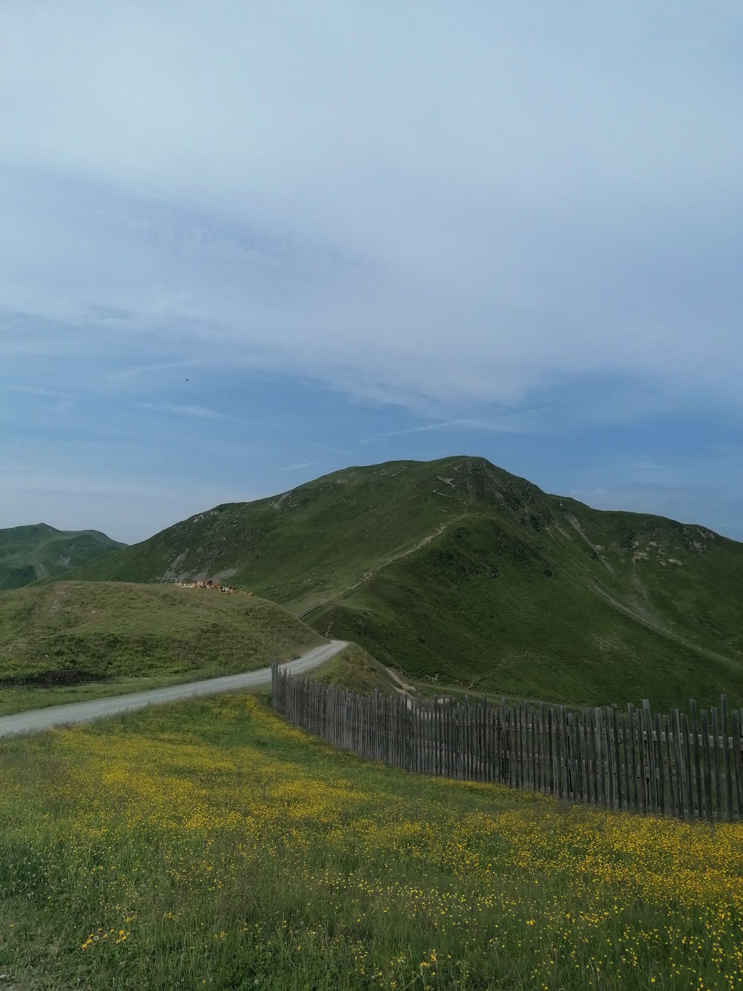
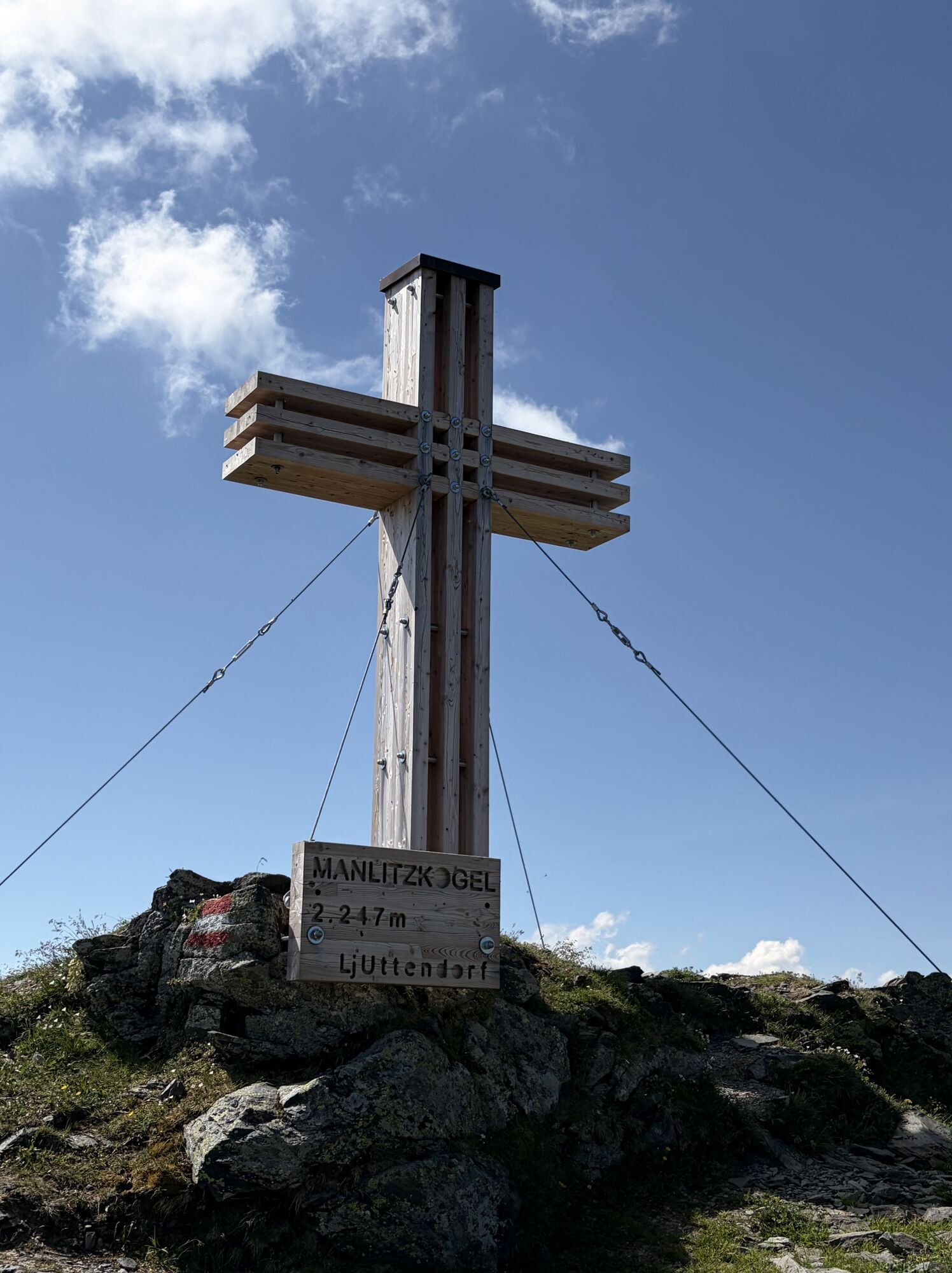
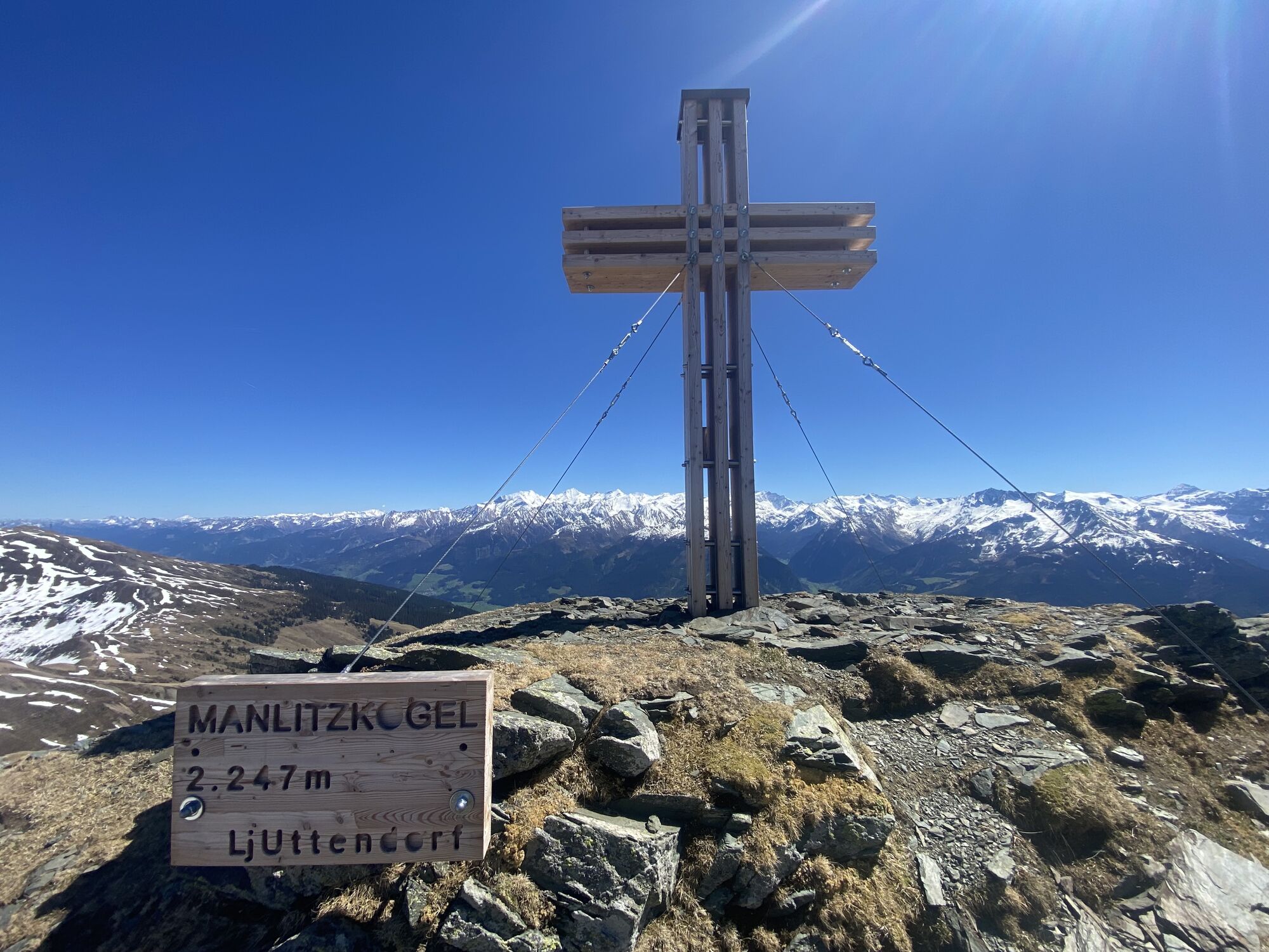
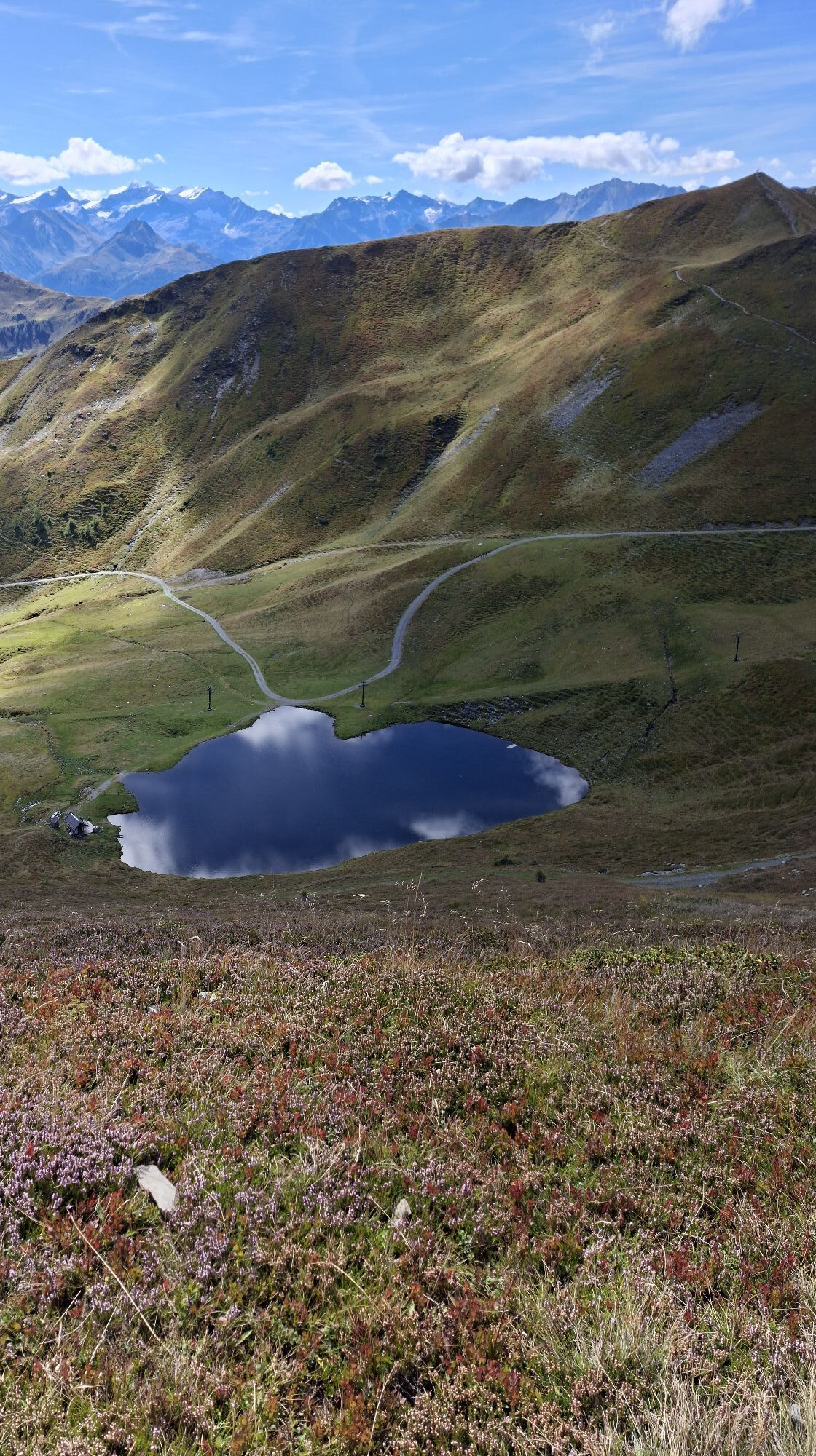

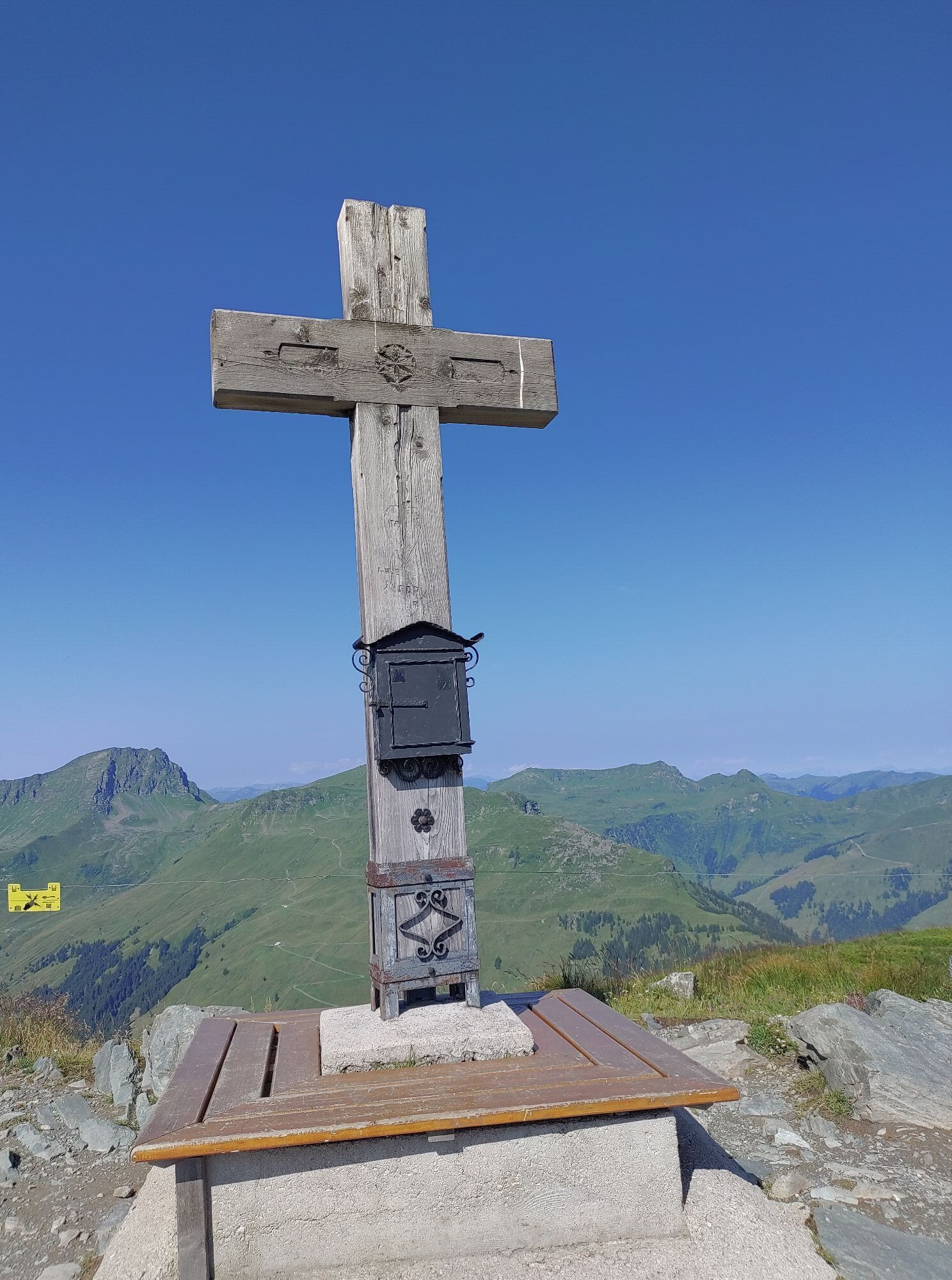
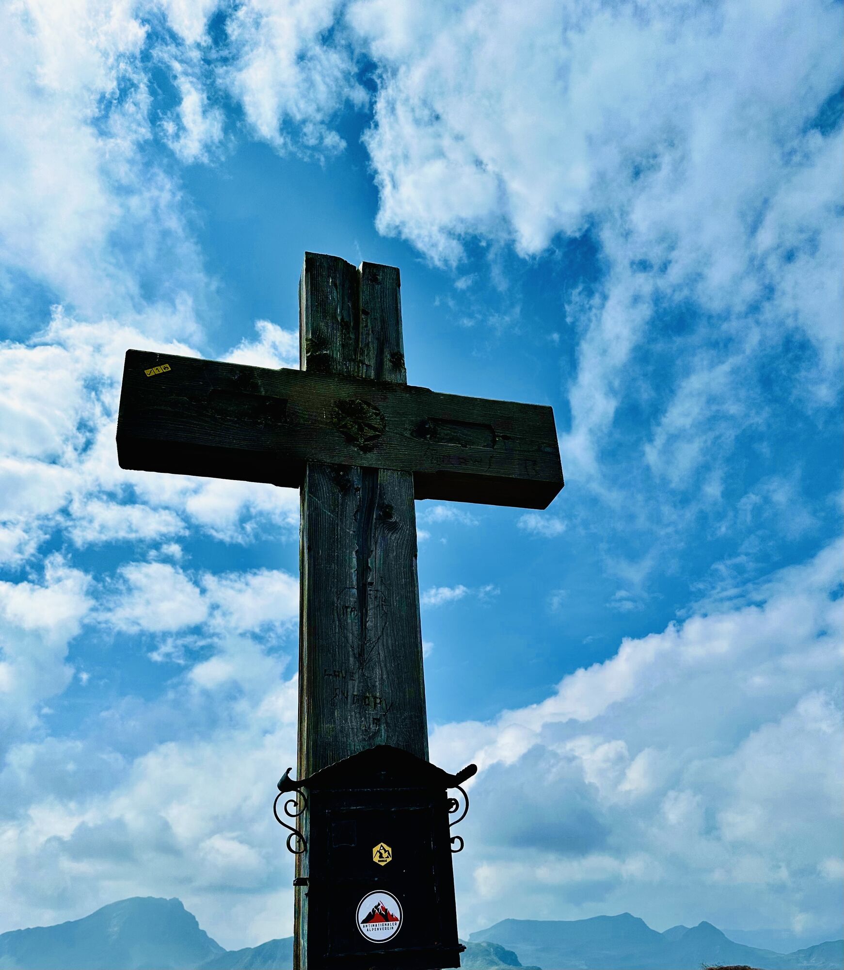
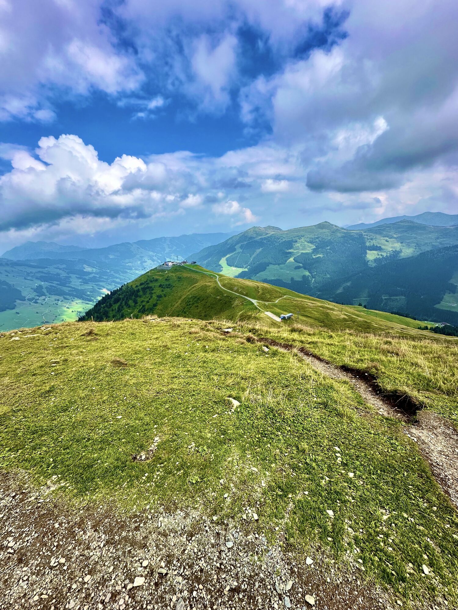
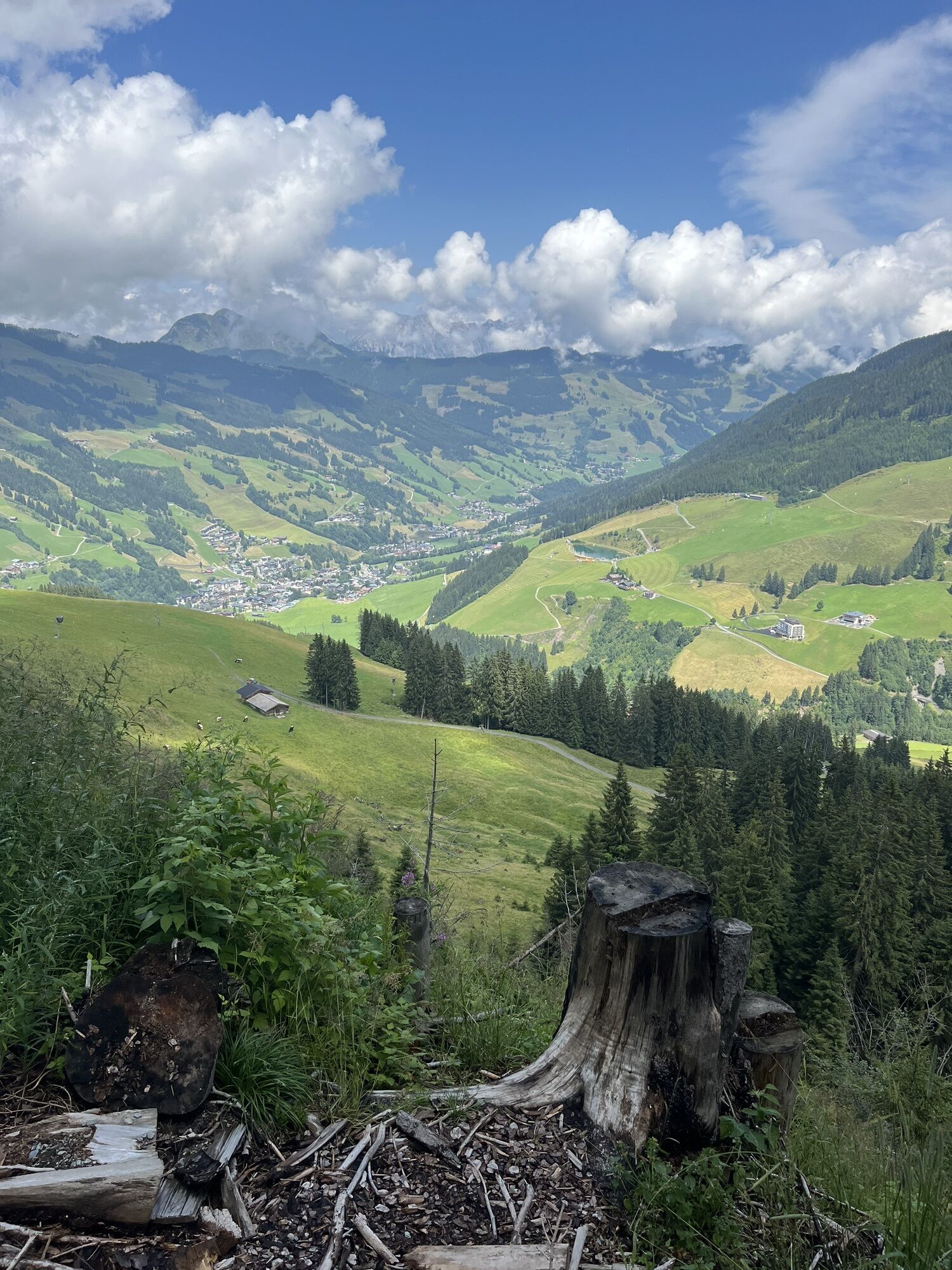
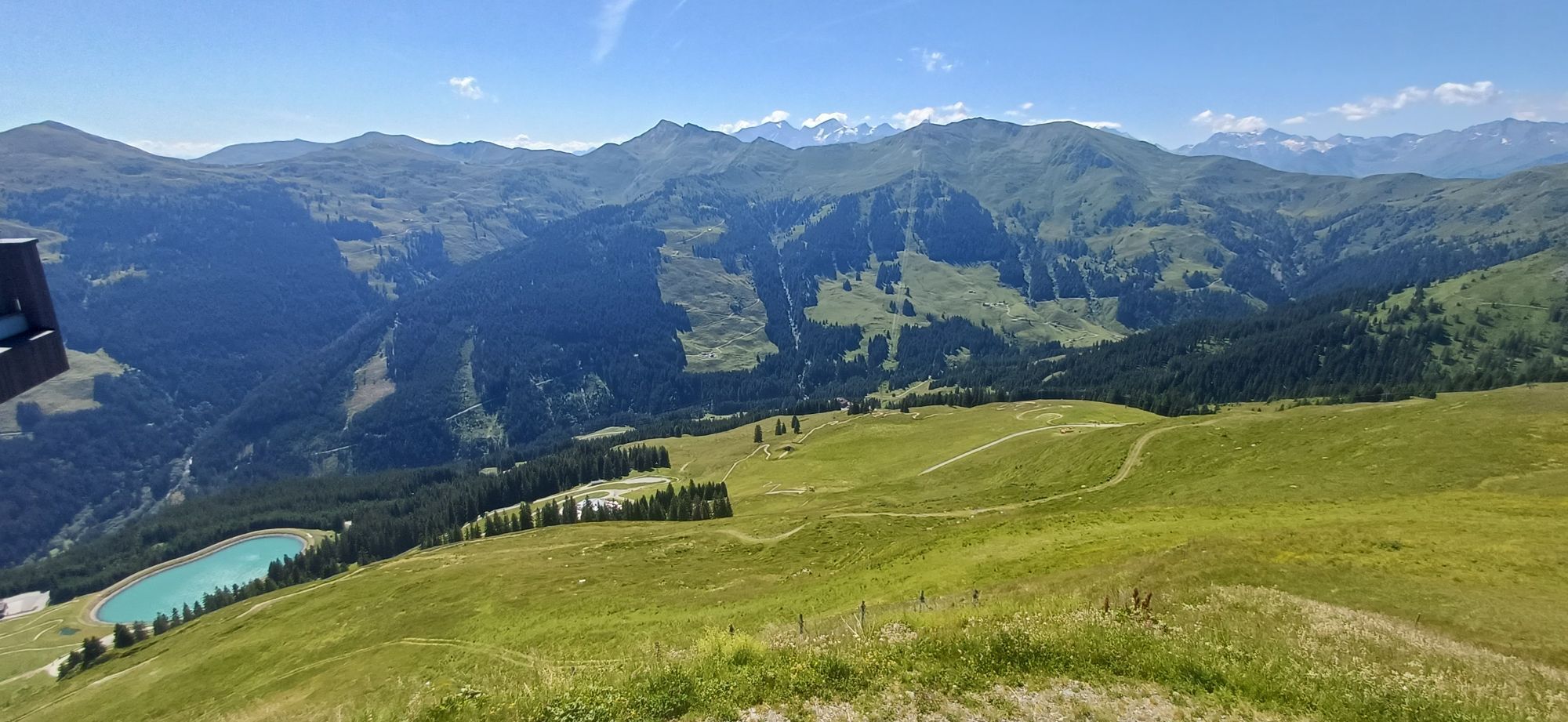
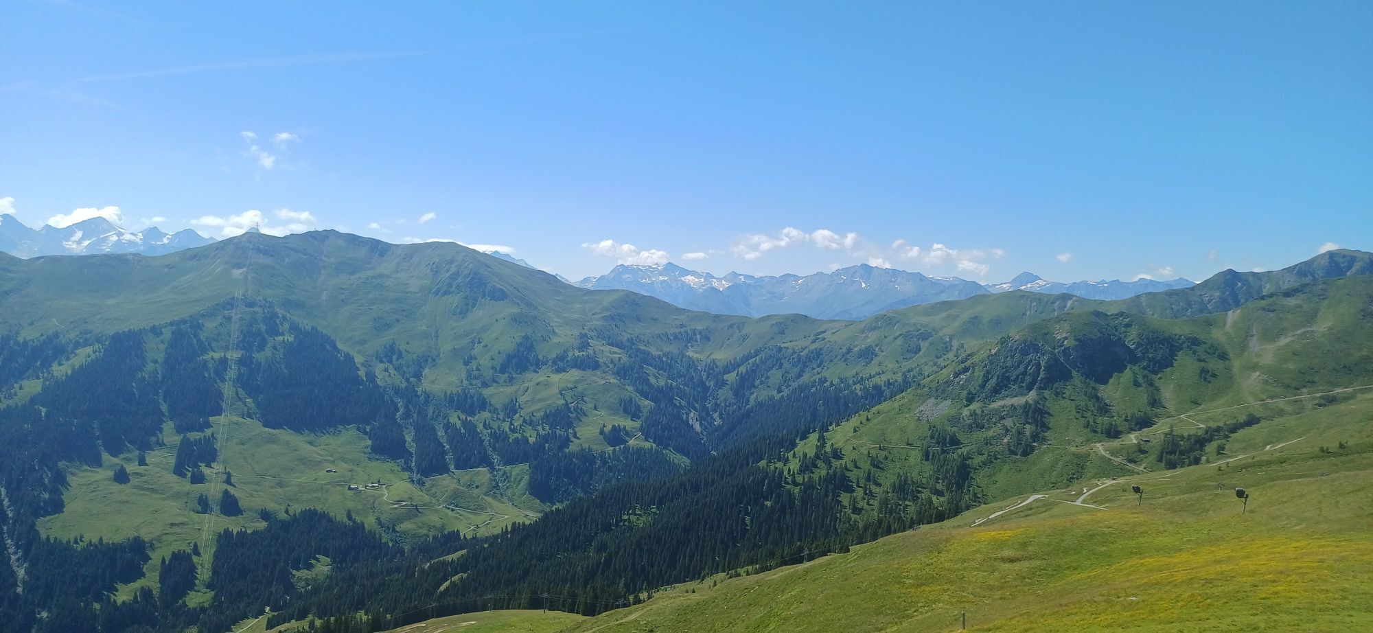
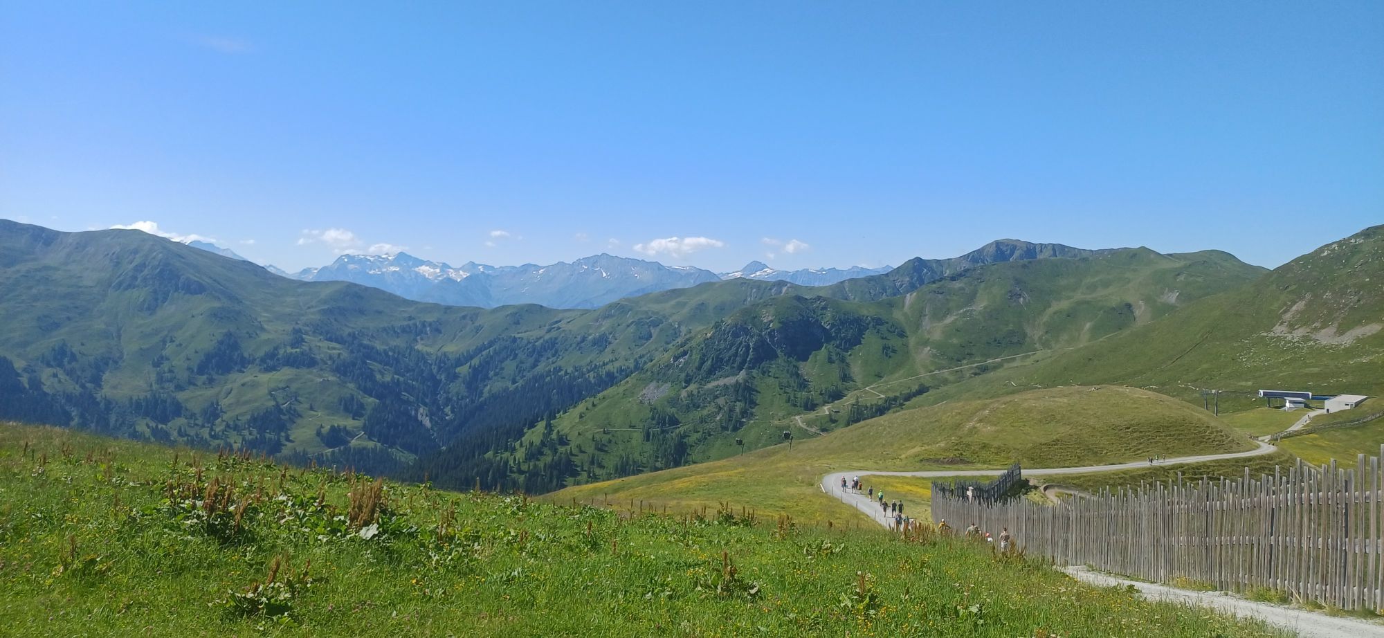
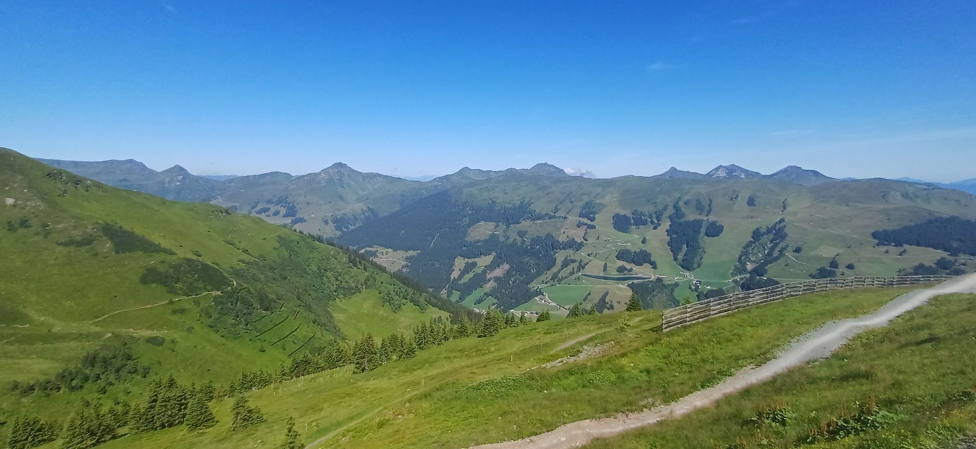
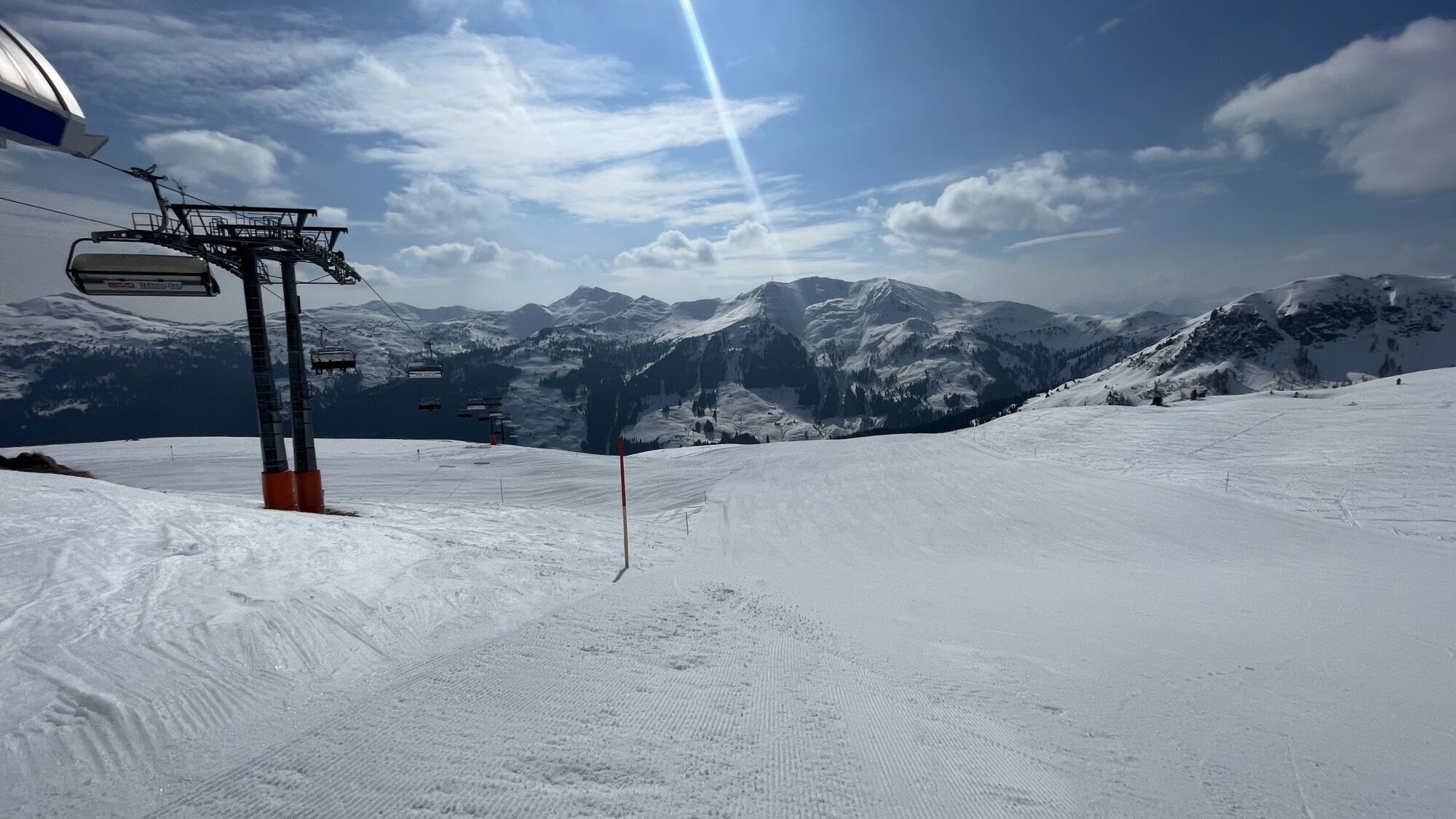
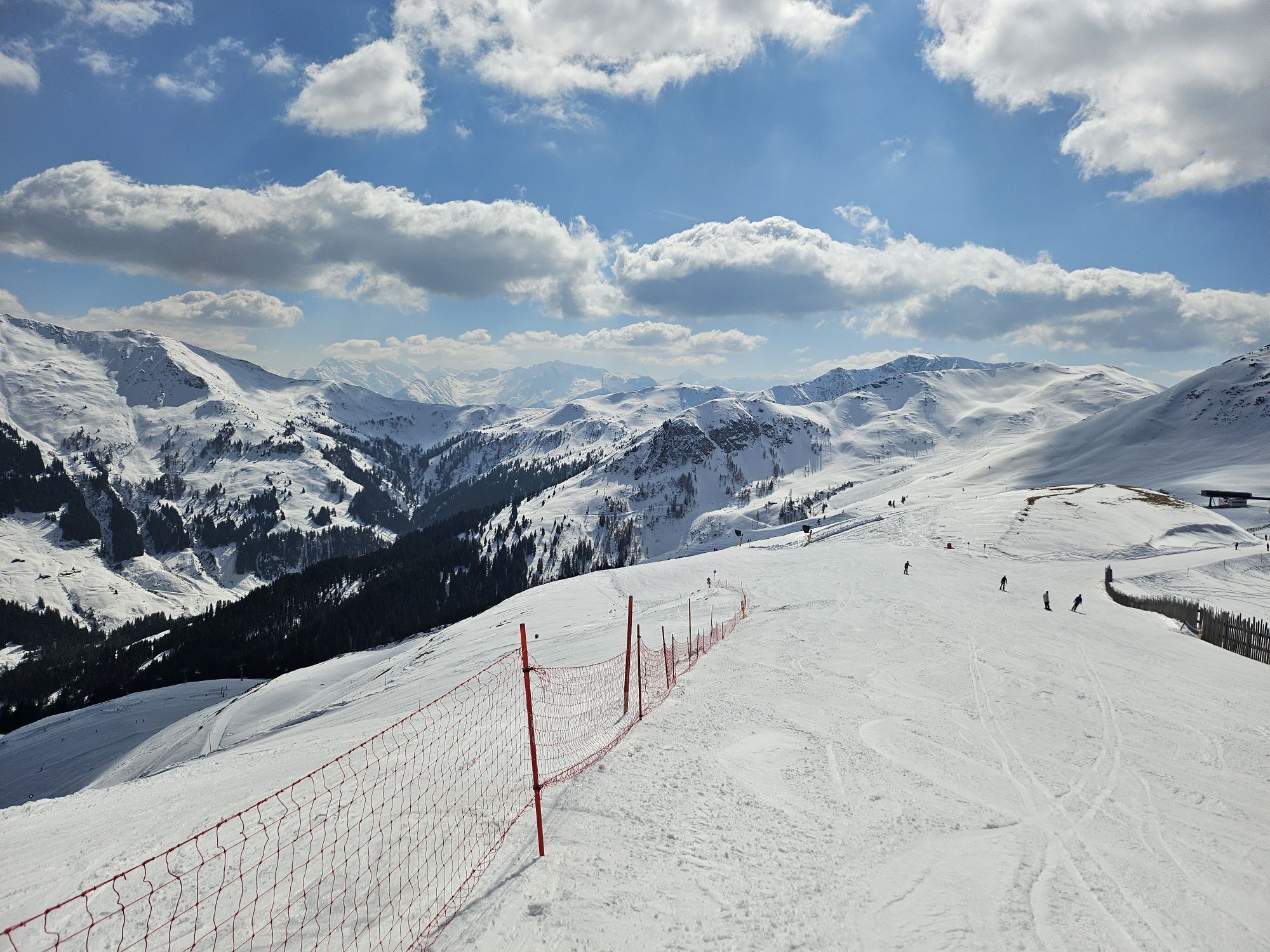
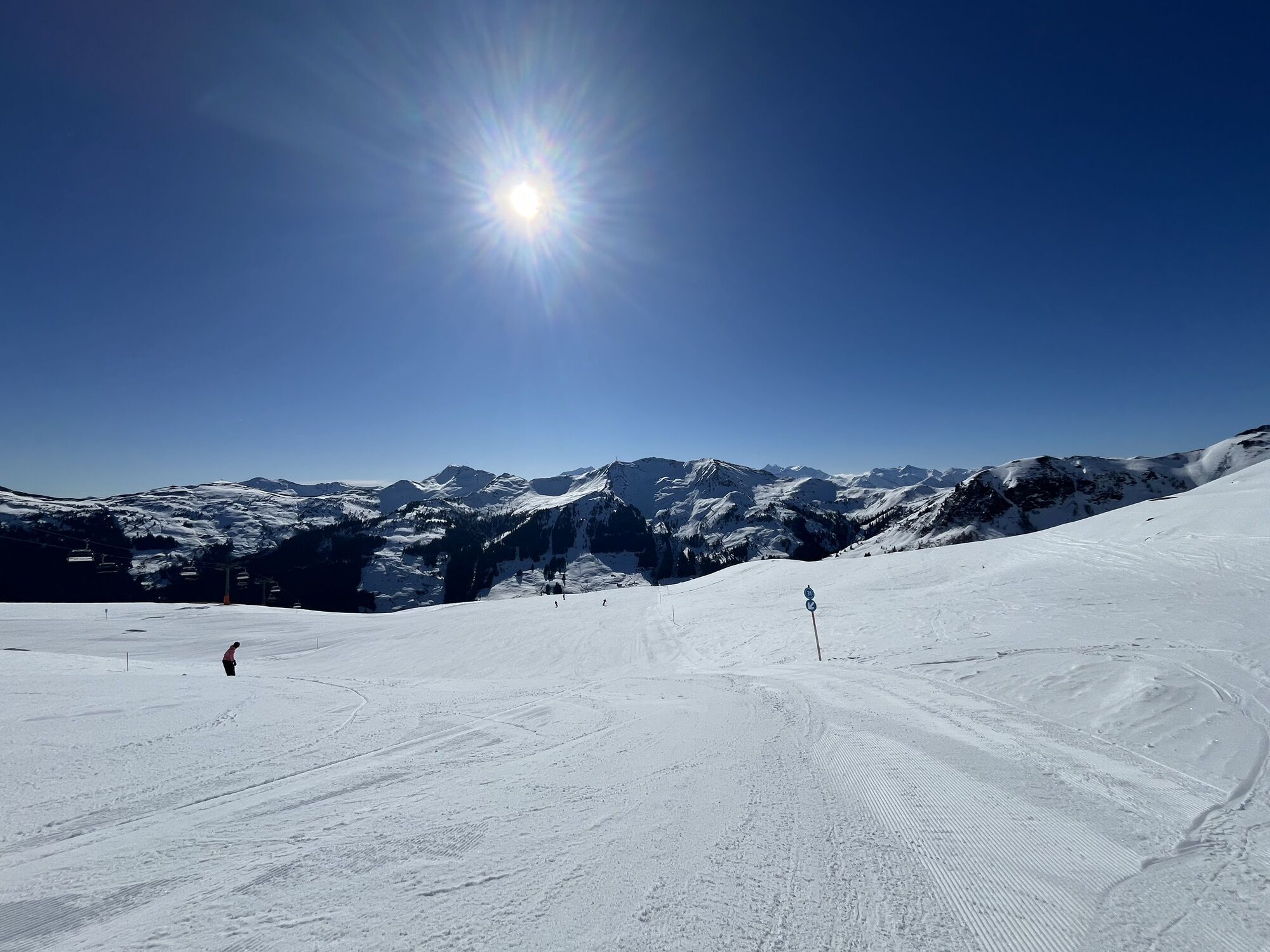
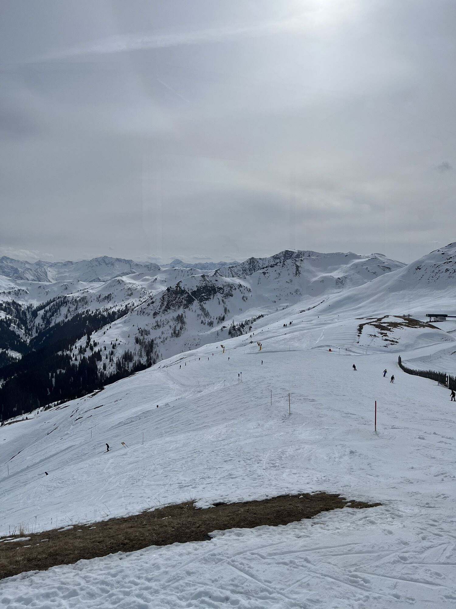
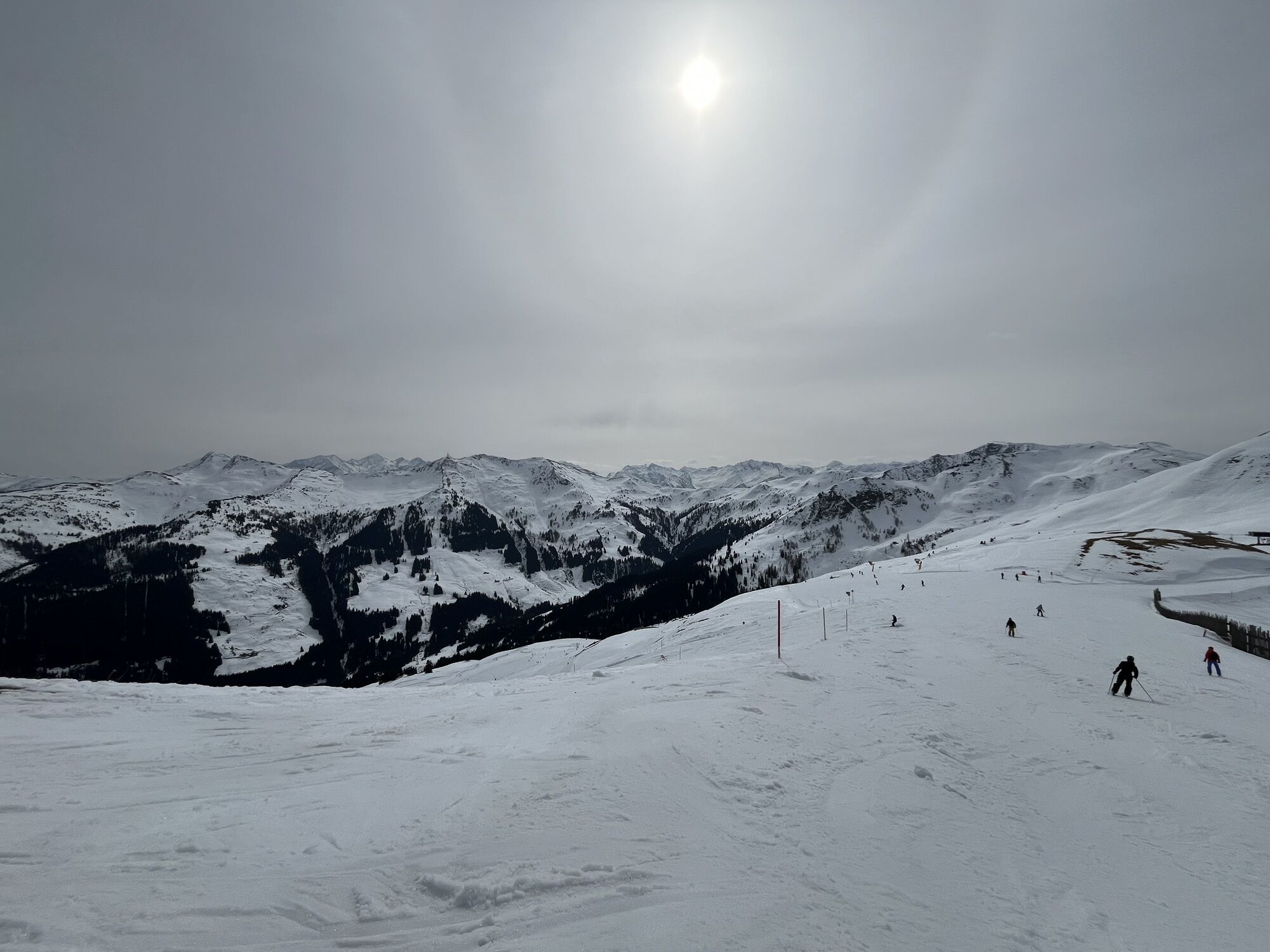
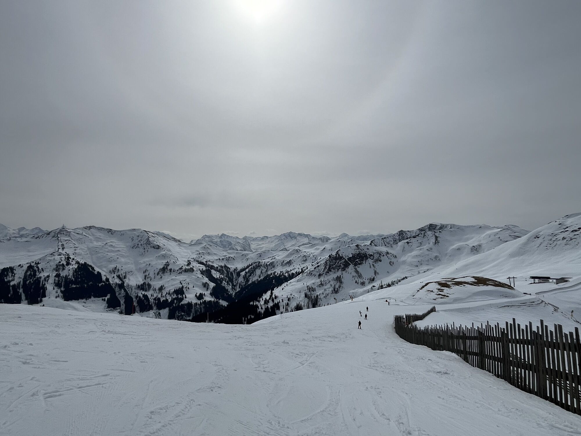
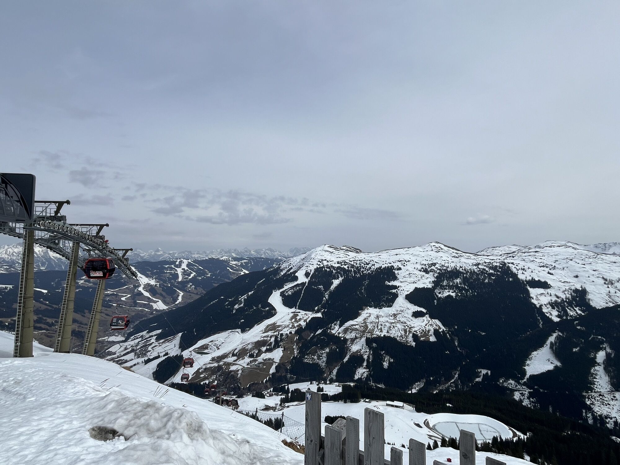
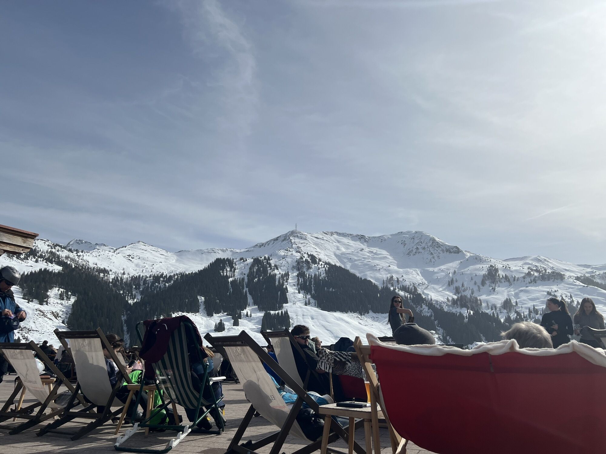
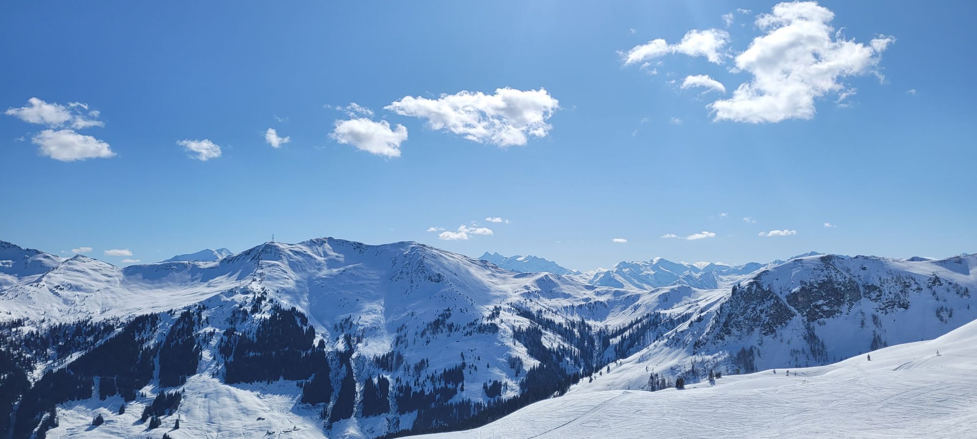
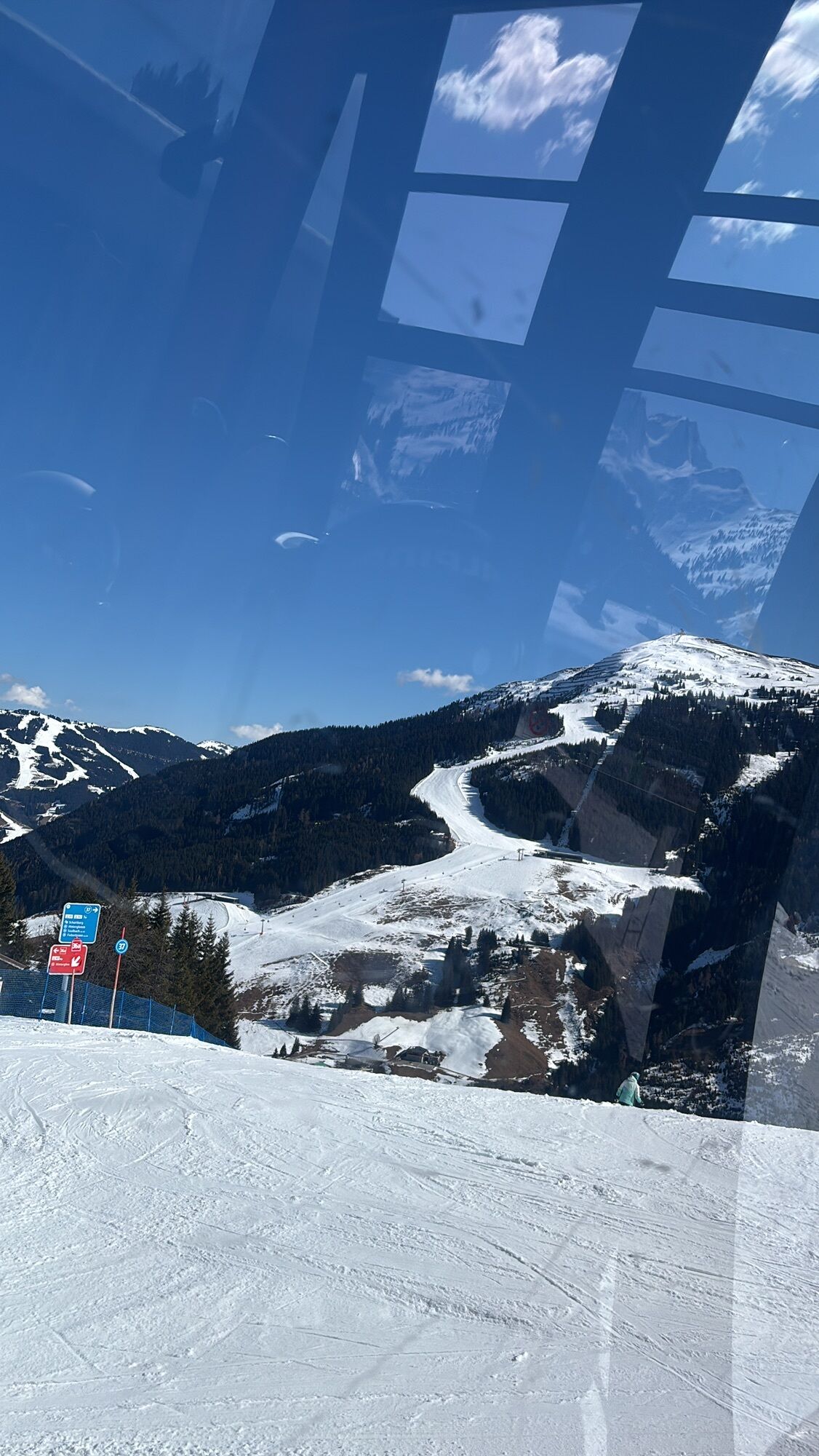
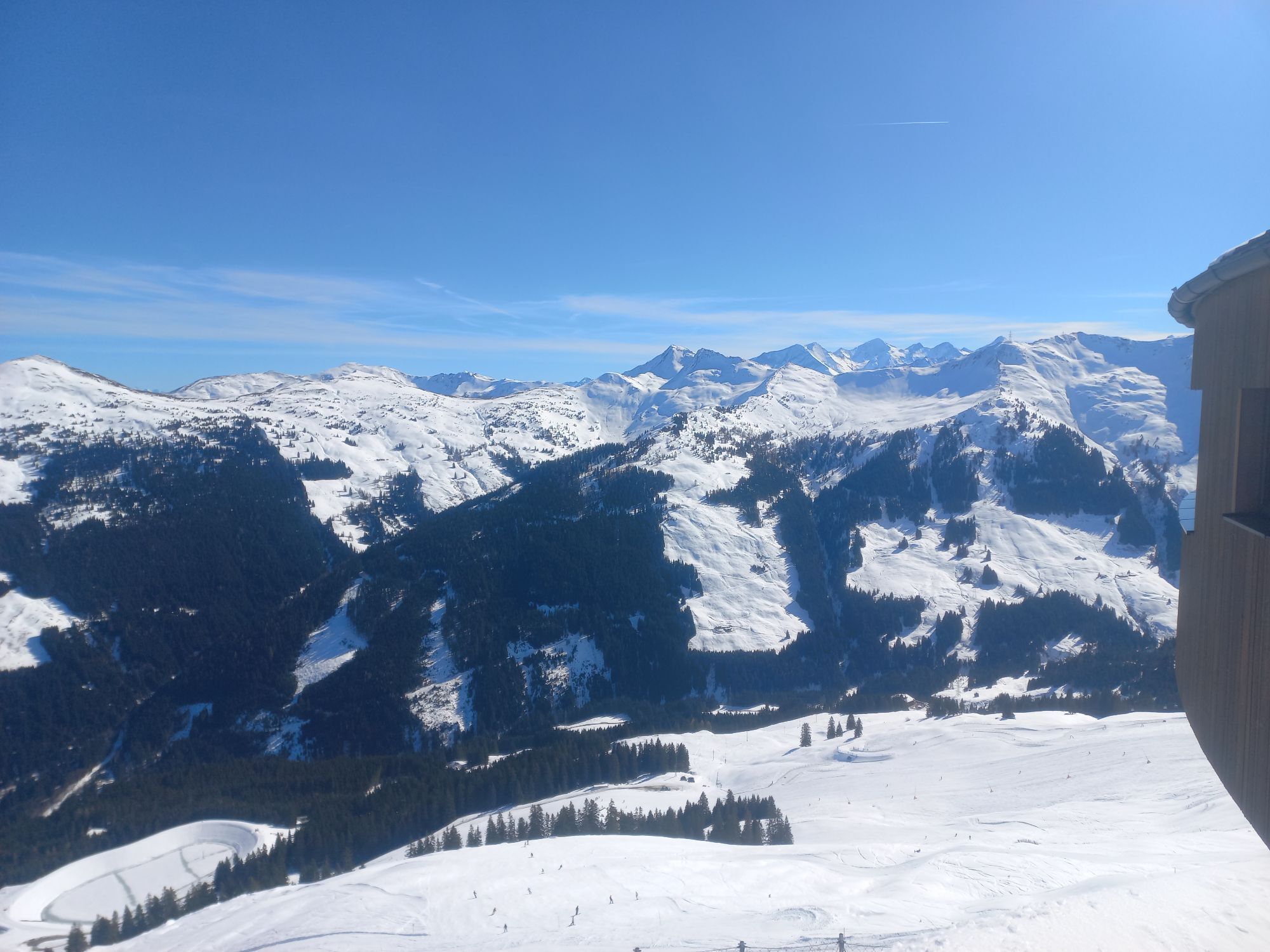
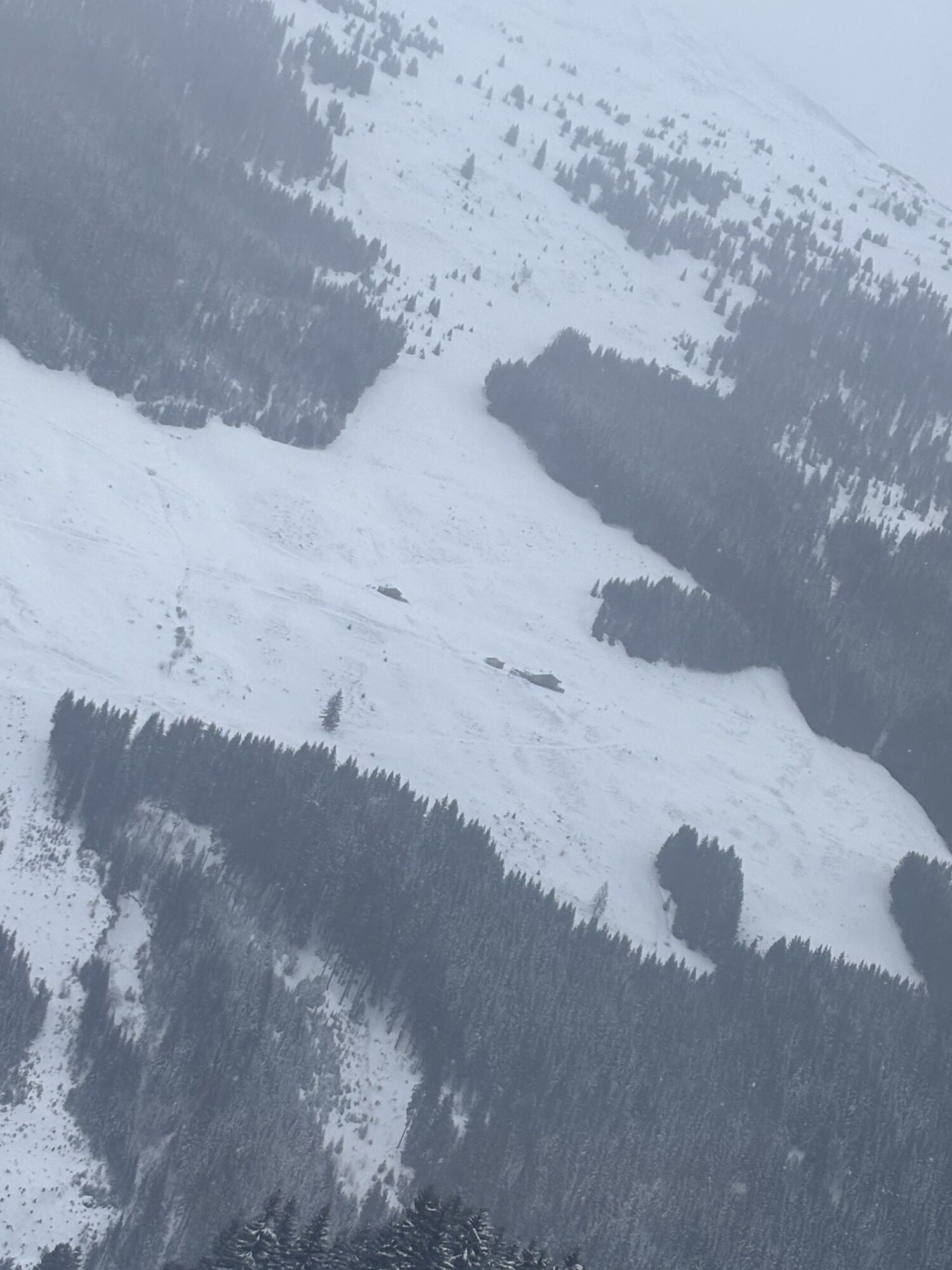
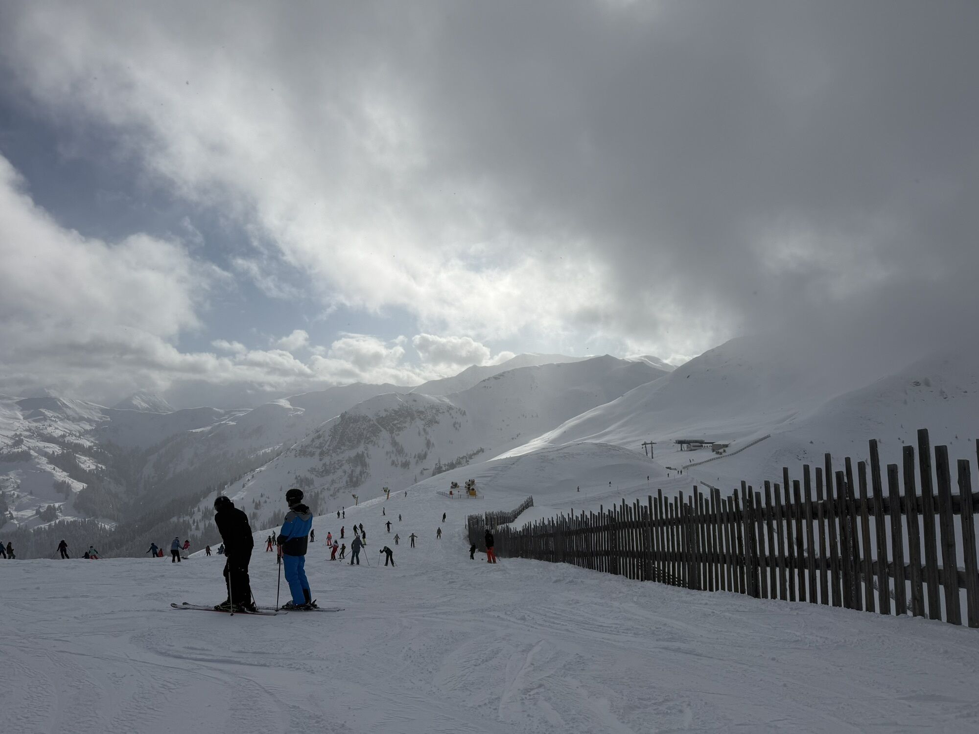
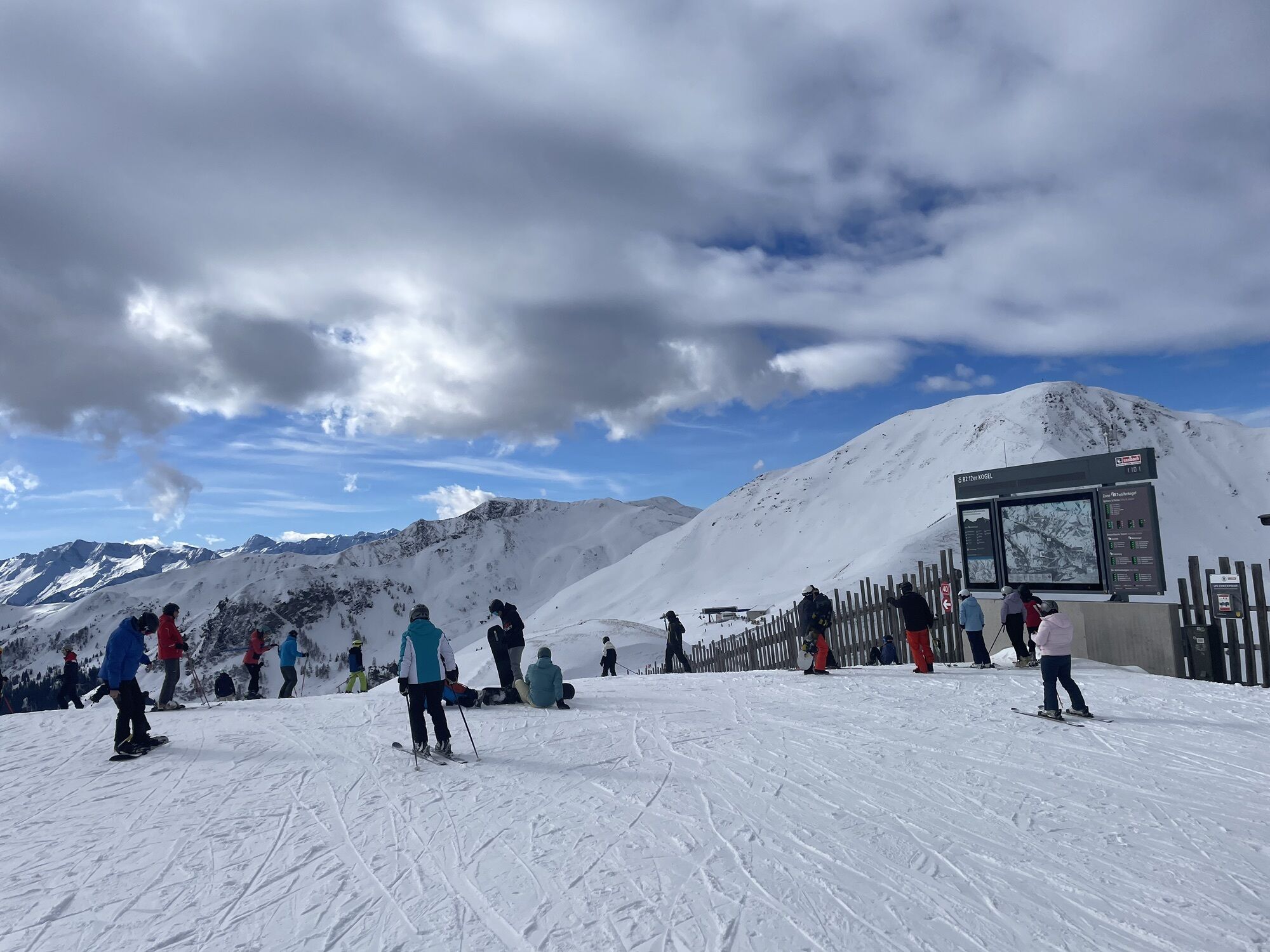
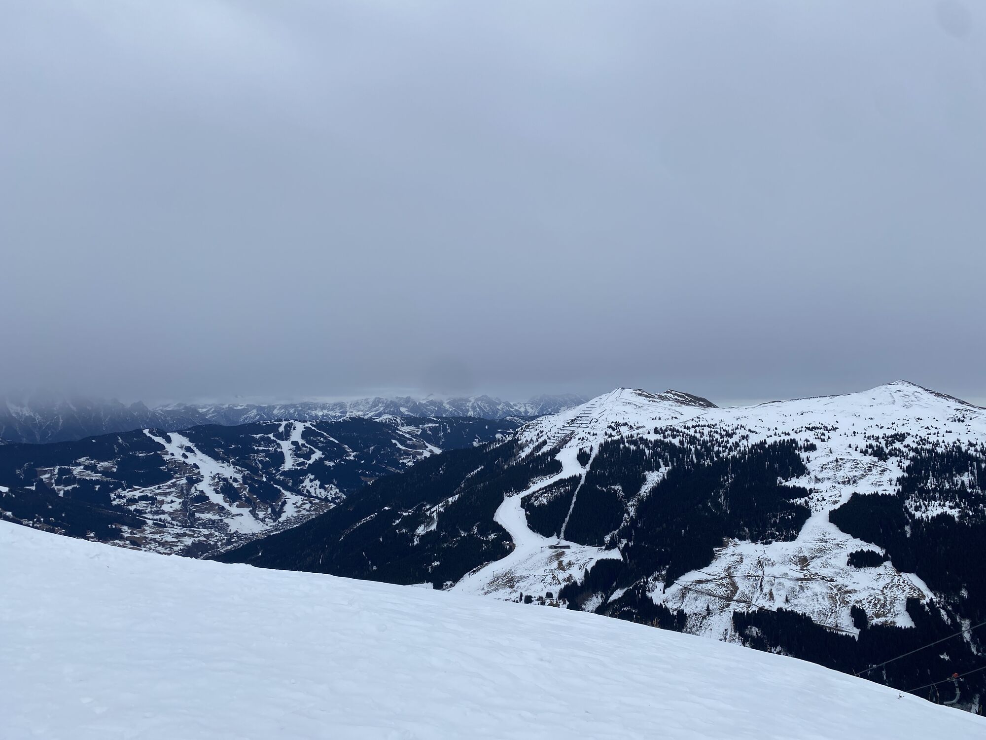
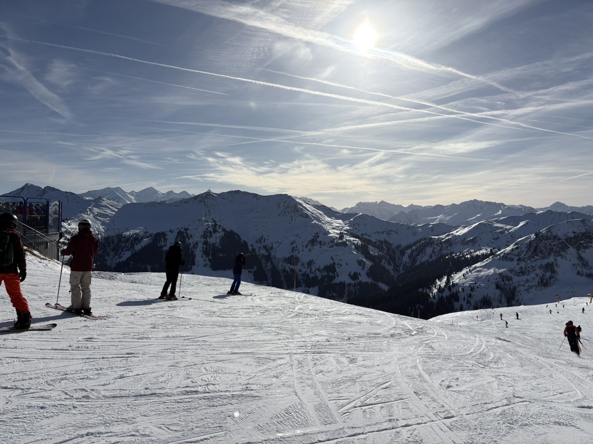
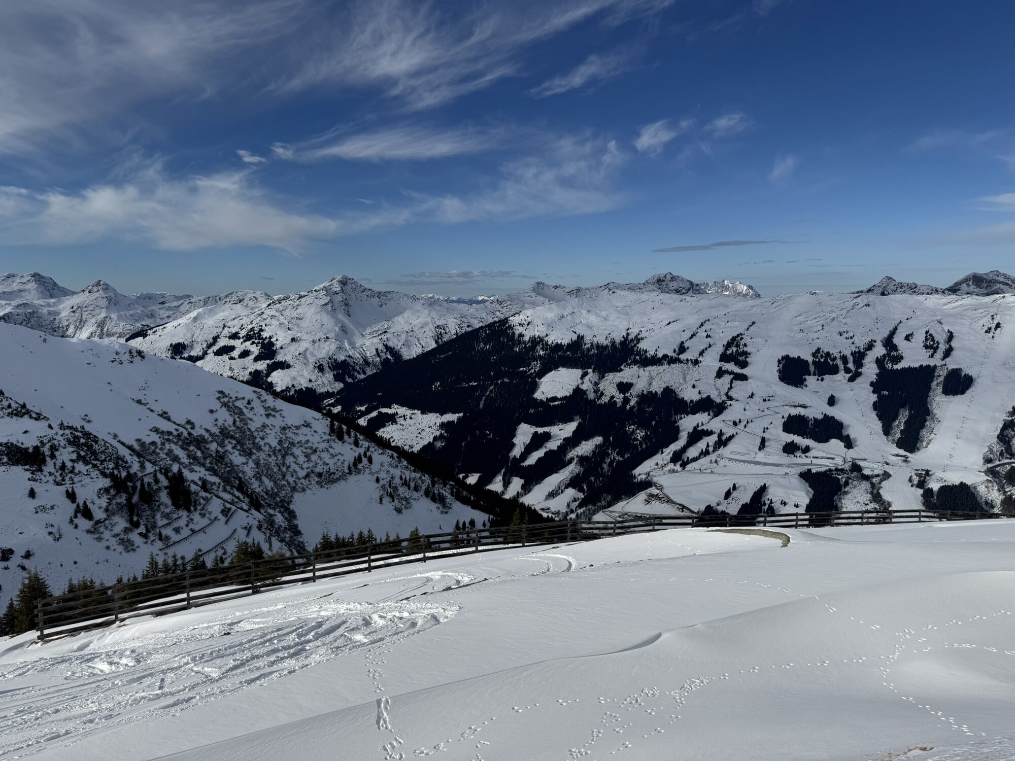
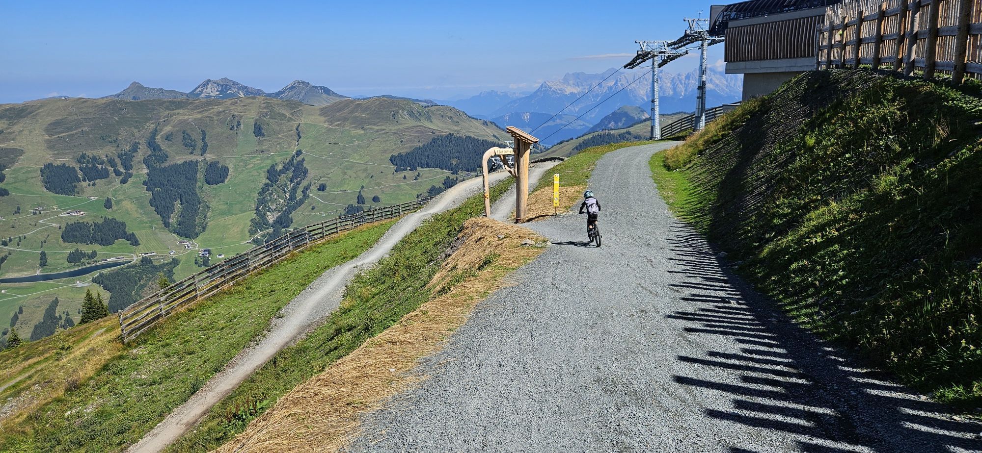
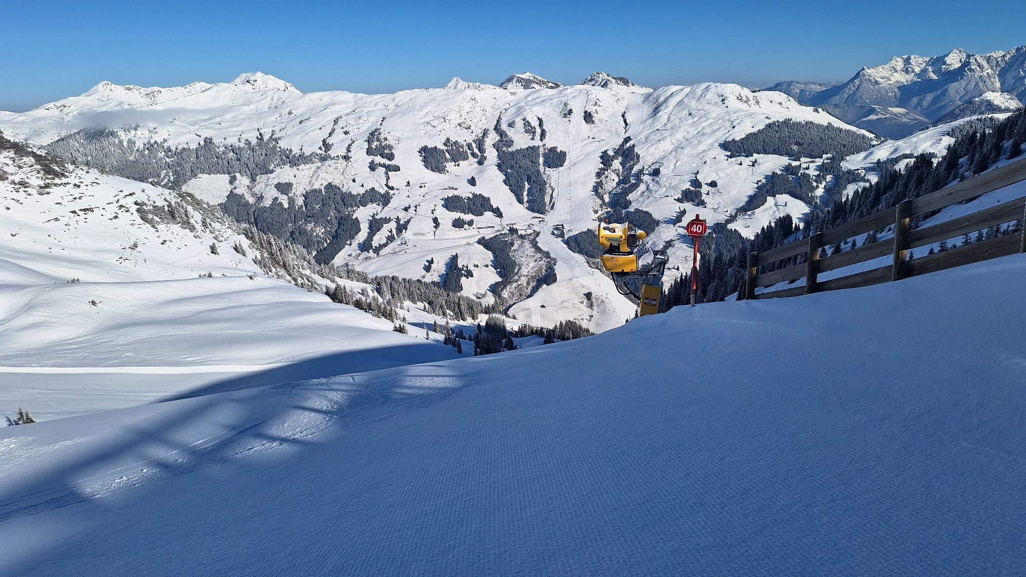
Ascent with the Zwölferkogelbahn to the mountain station.
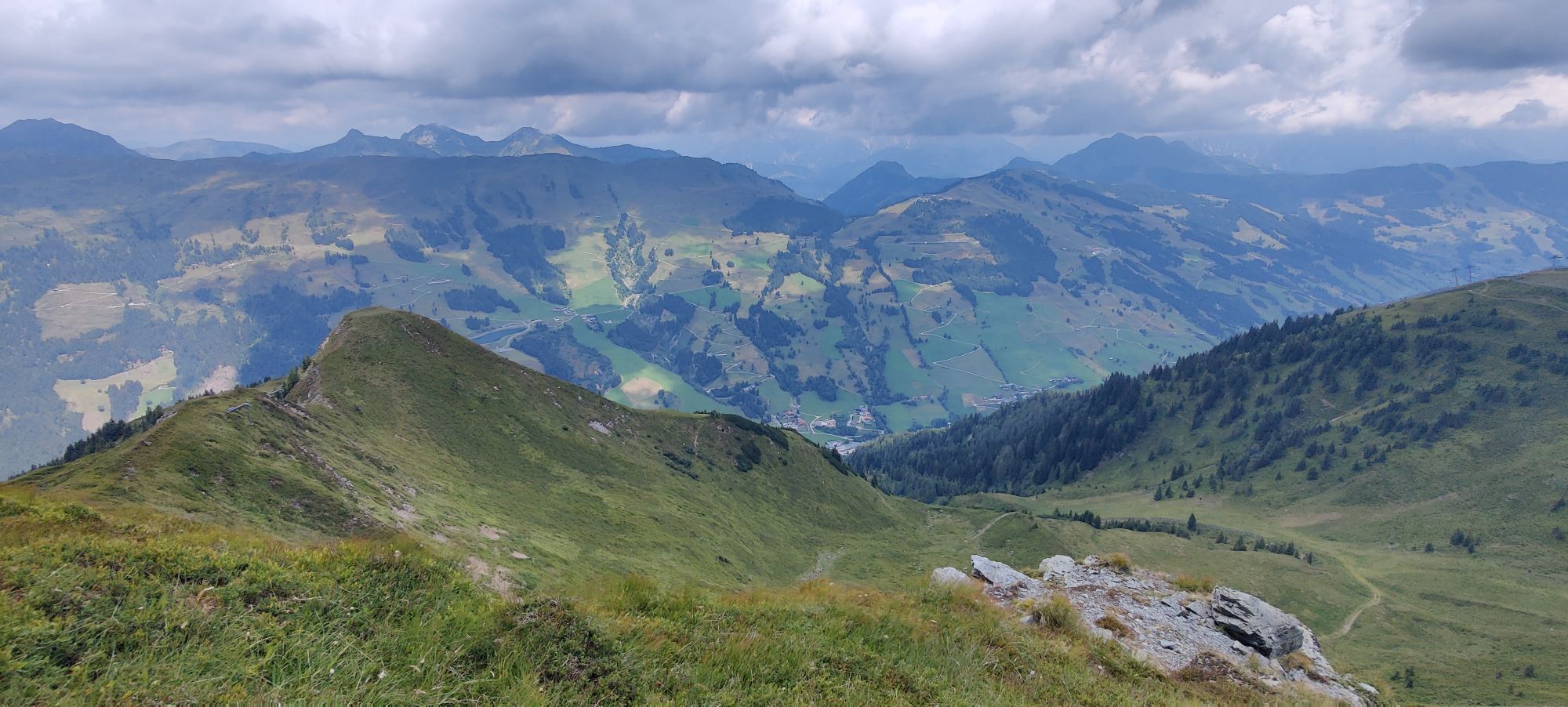
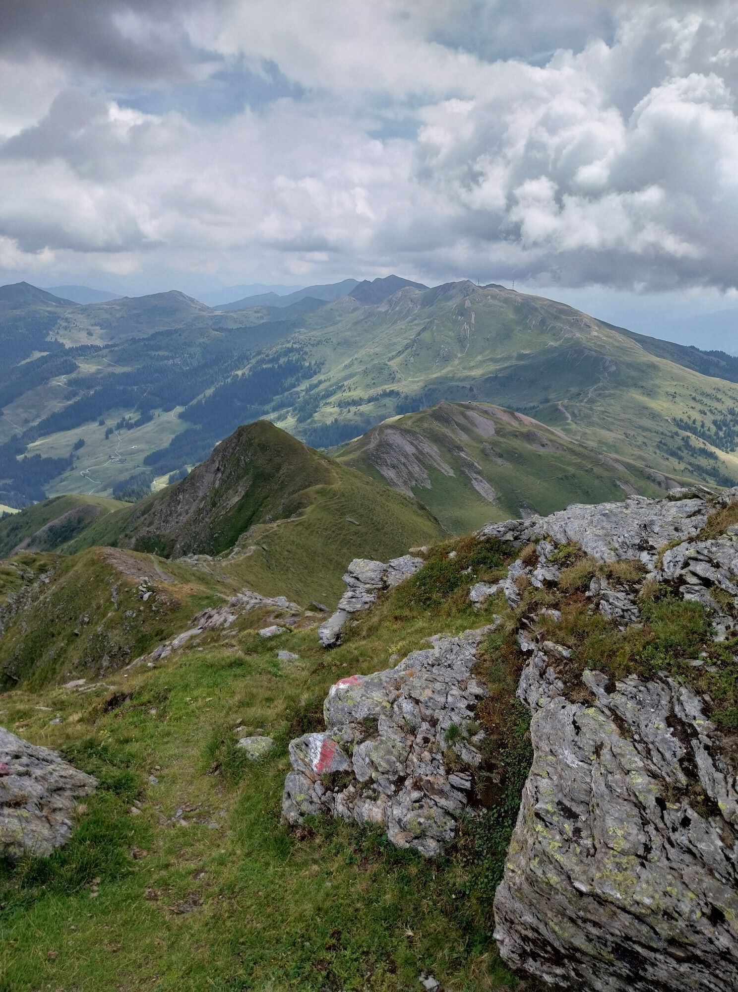
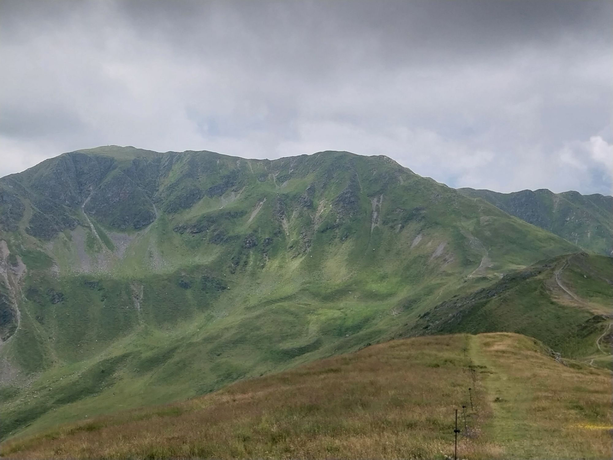
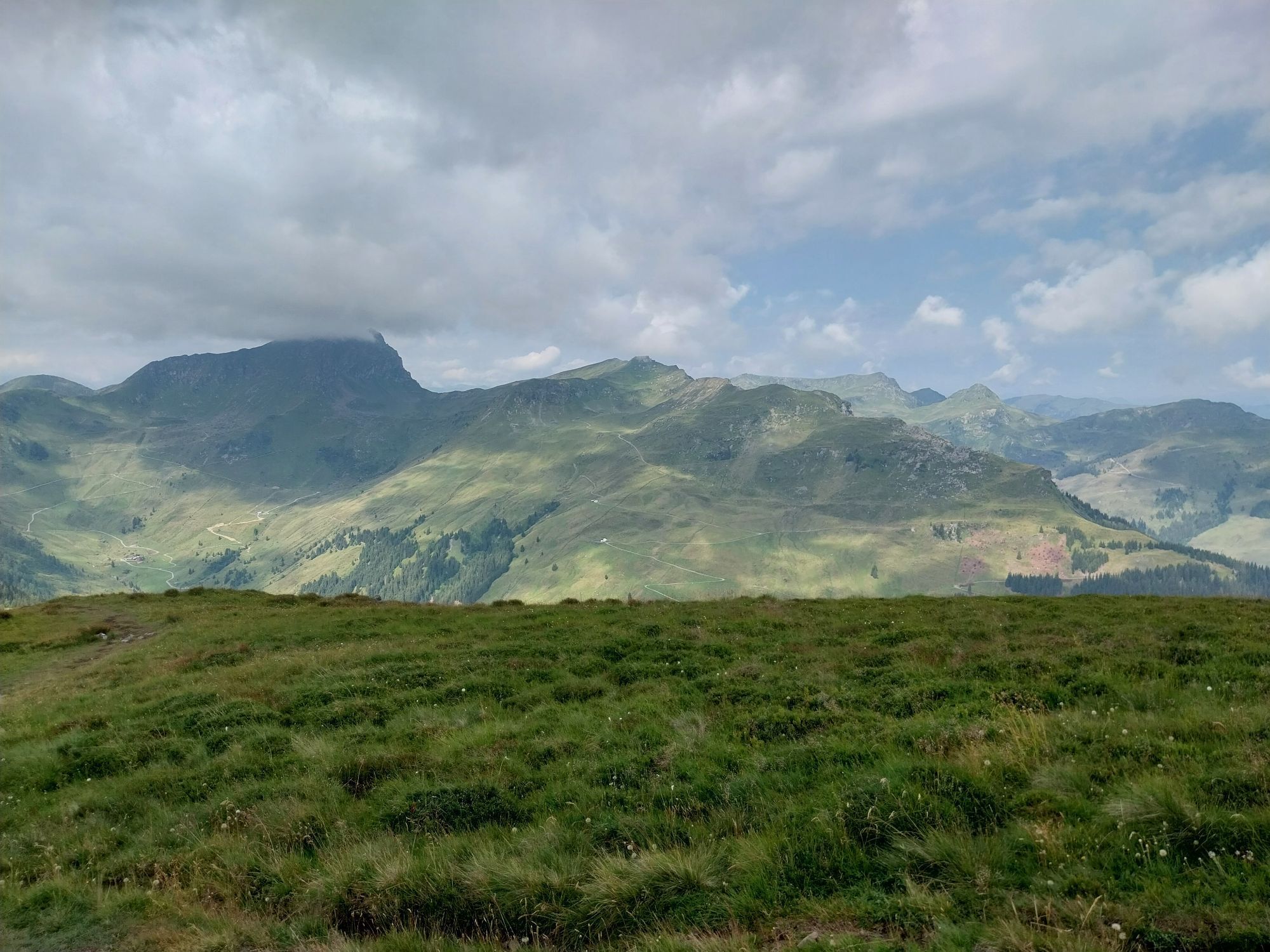
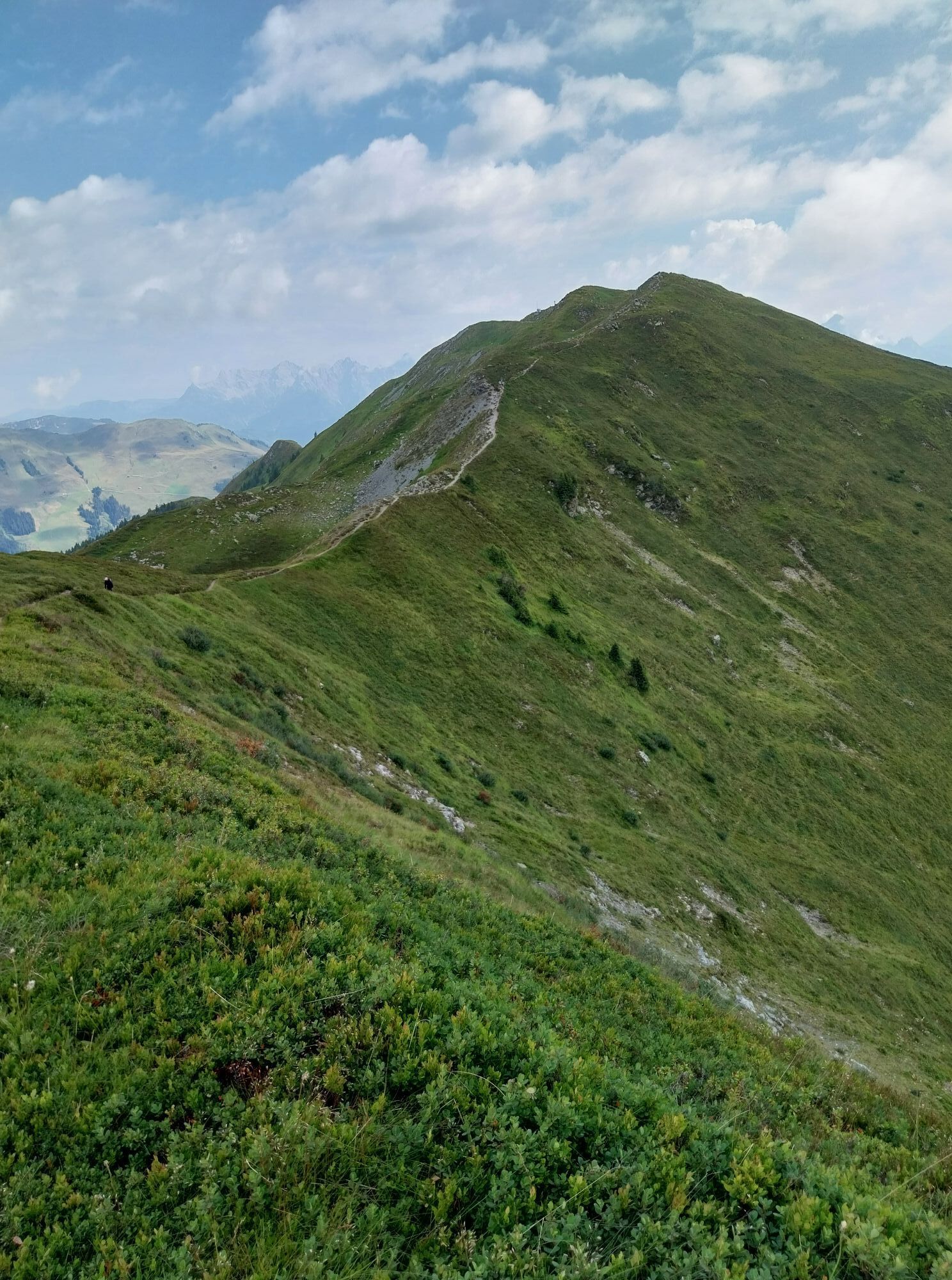
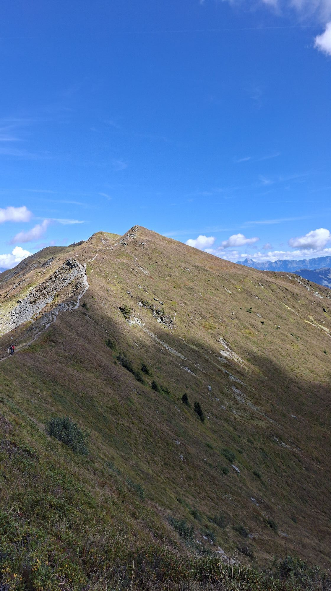
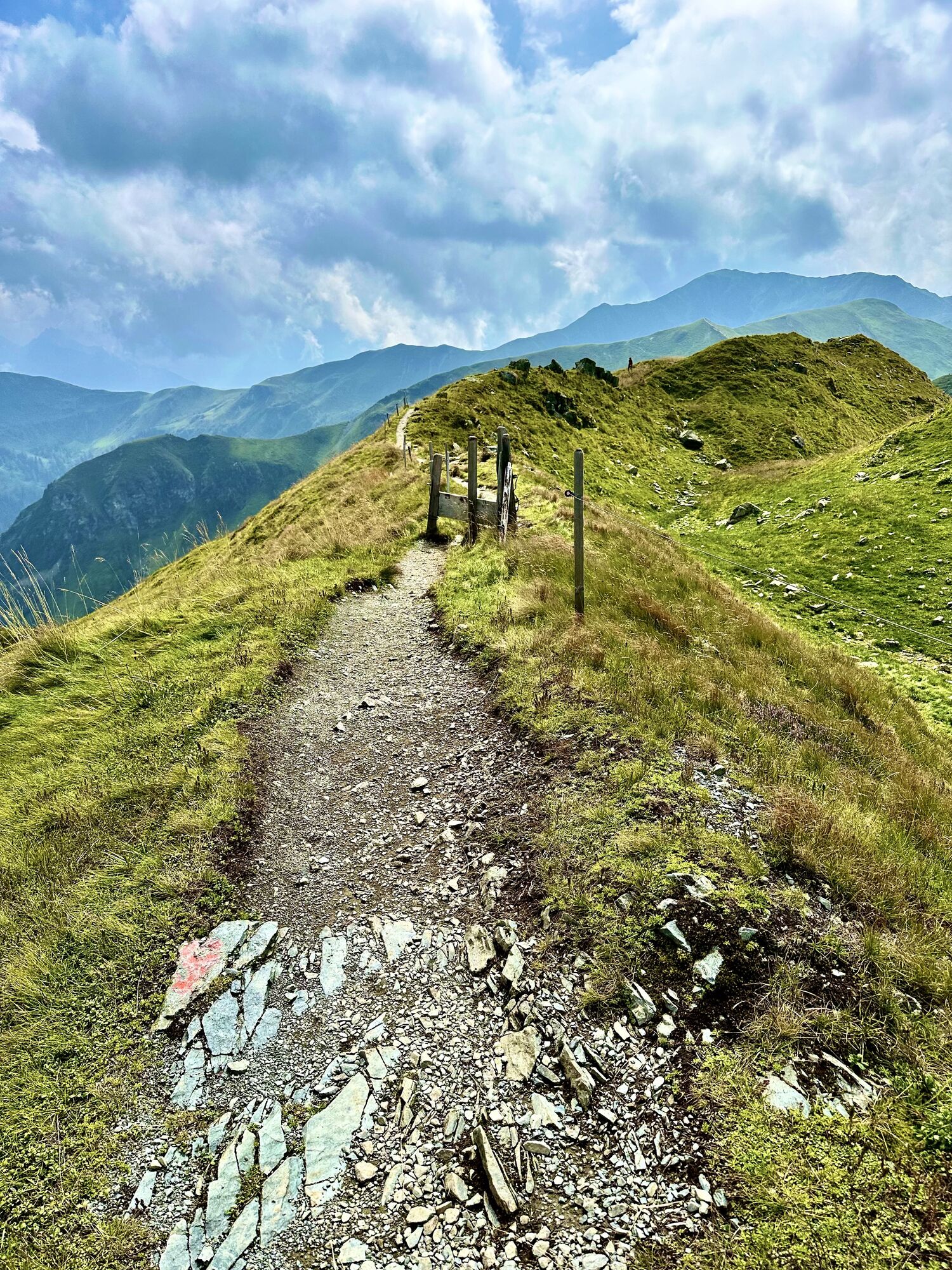
Very varied mountain hike with steeper ascents on the Hohe Penhab and Manlitzkogel.
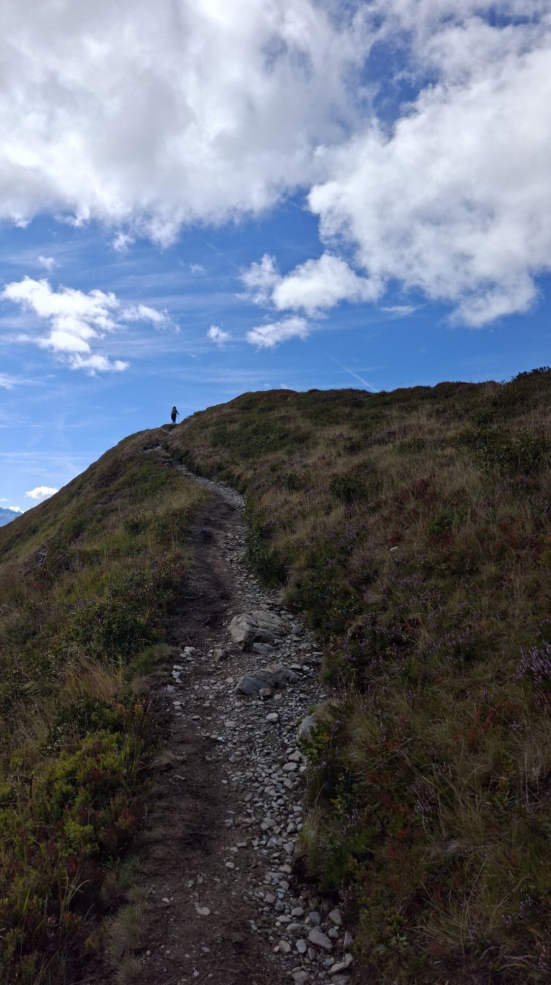
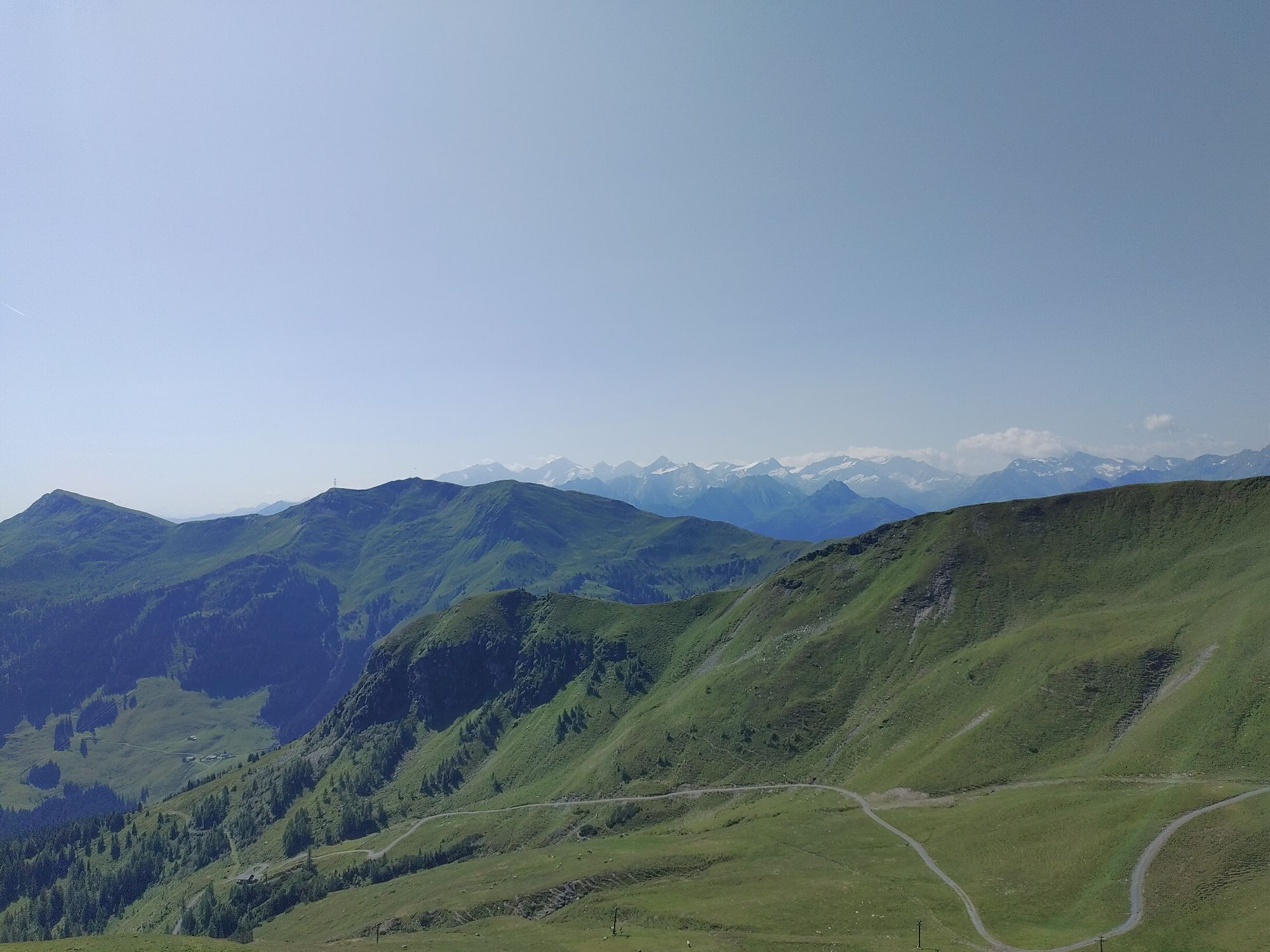
Scenic ridge hikes as well as varied partly rocky paths on the...
Very varied mountain hike with steeper ascents on the Hohe Penhab and Manlitzkogel.
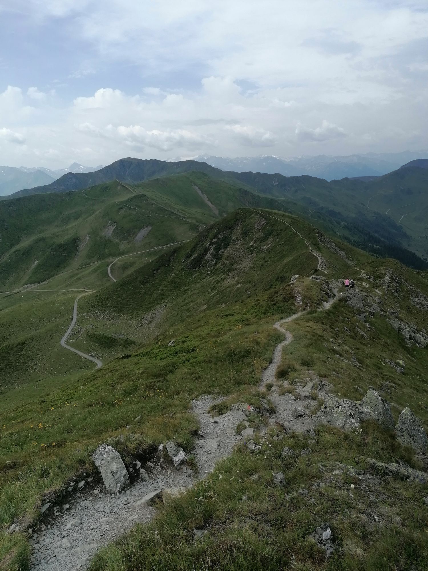
Scenic ridge hikes as well as varied partly rocky paths on the descent.
Finally, a short forest road section to the middle station.

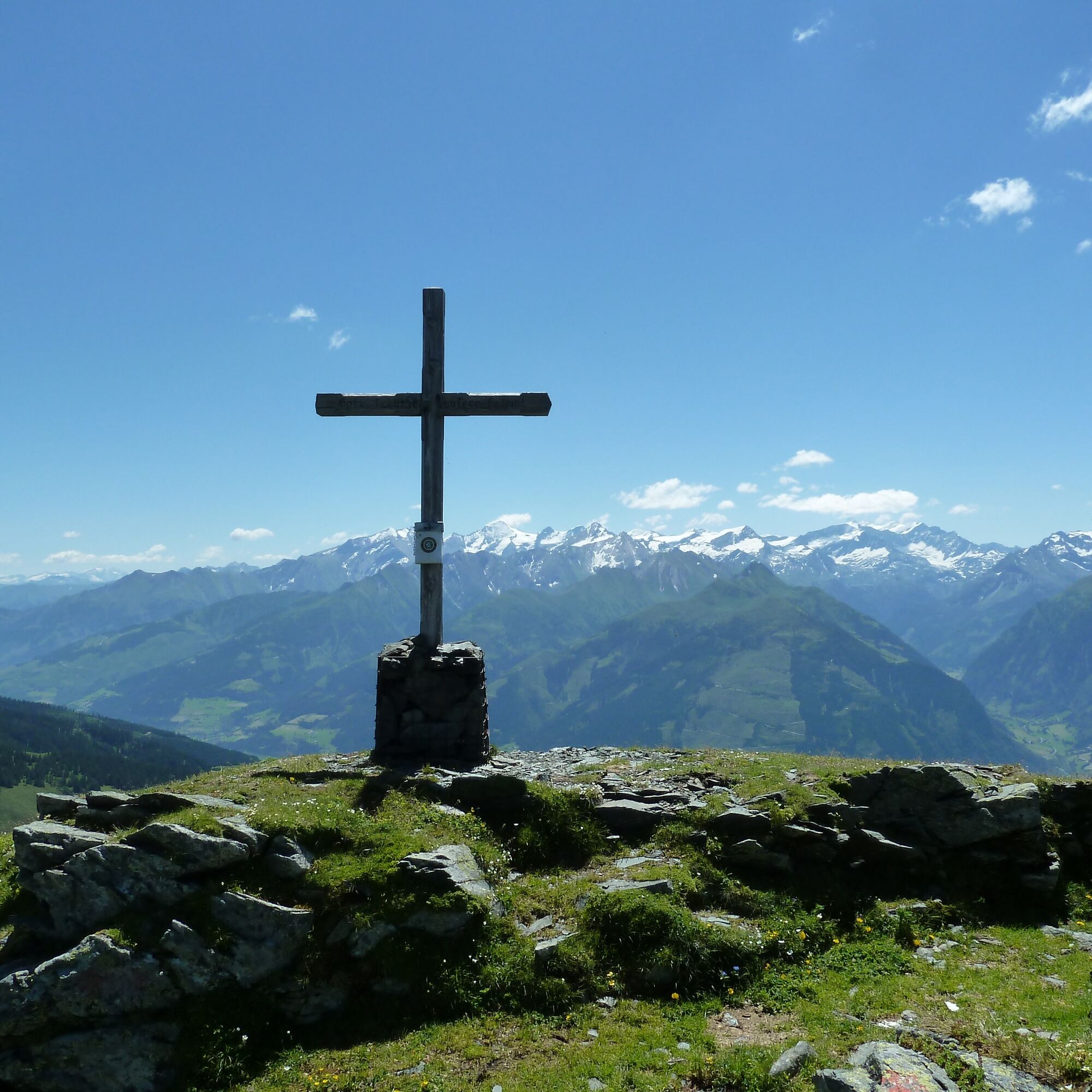

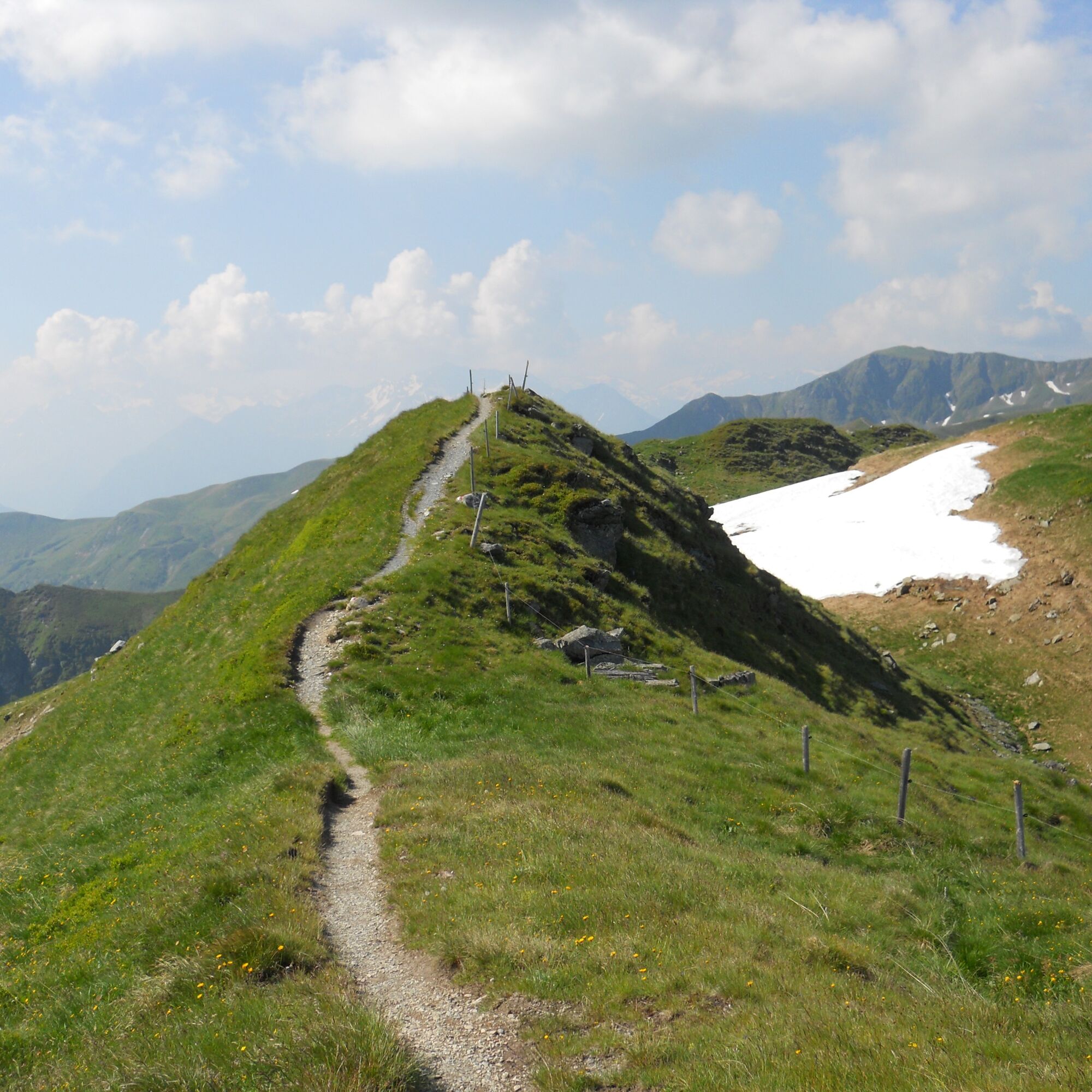
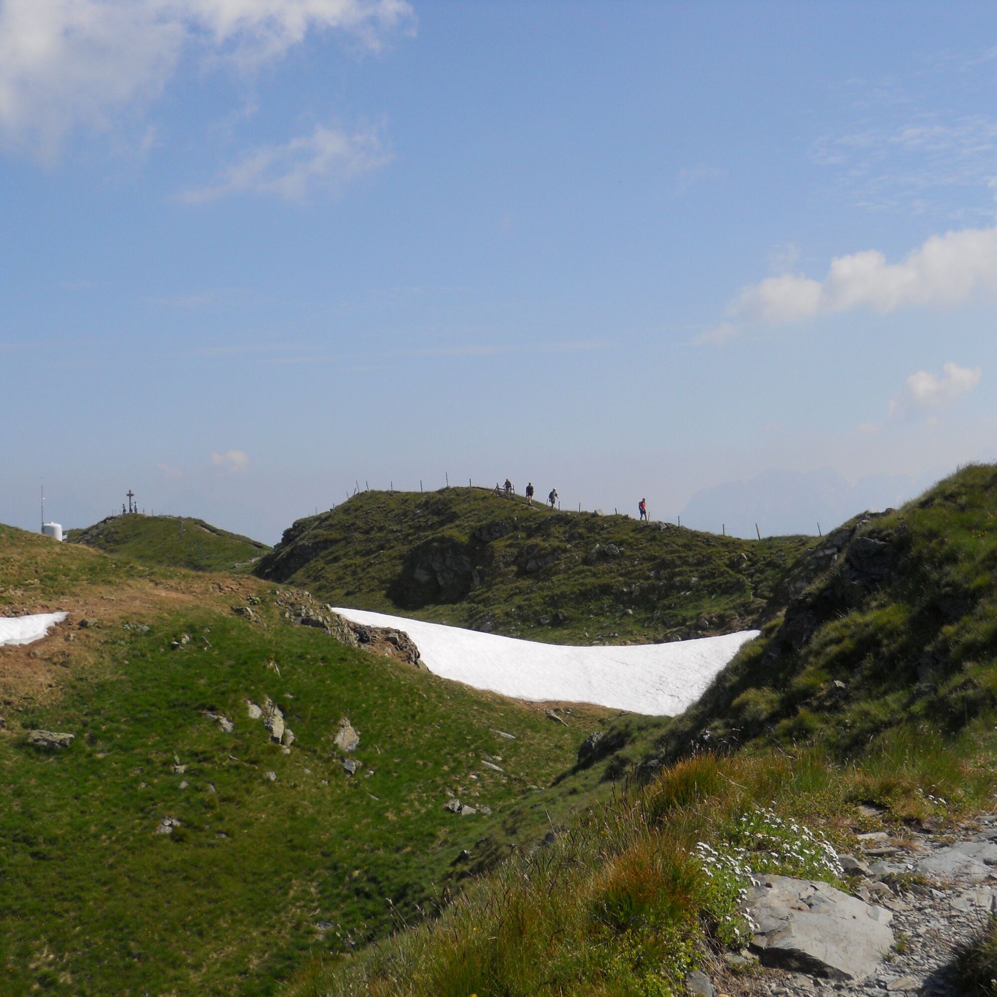
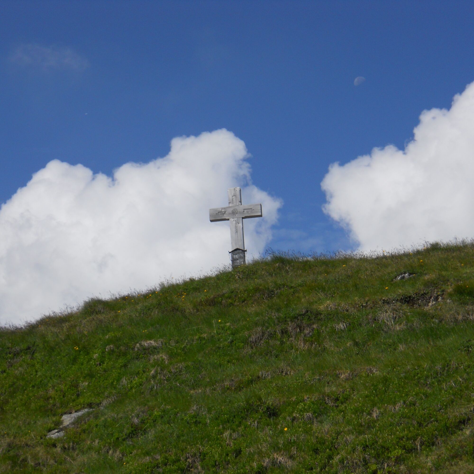
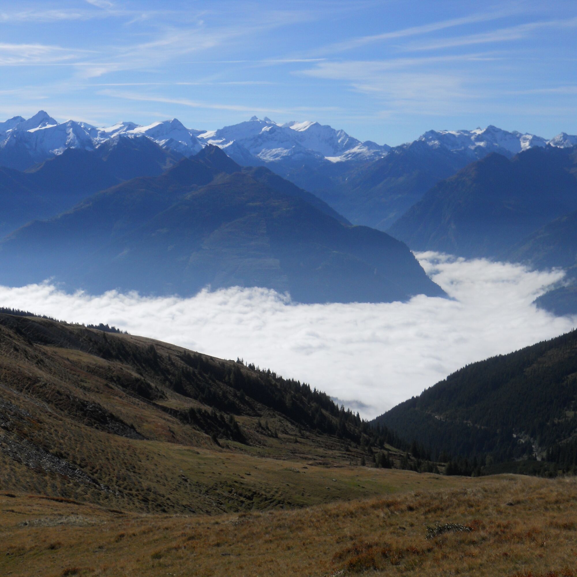
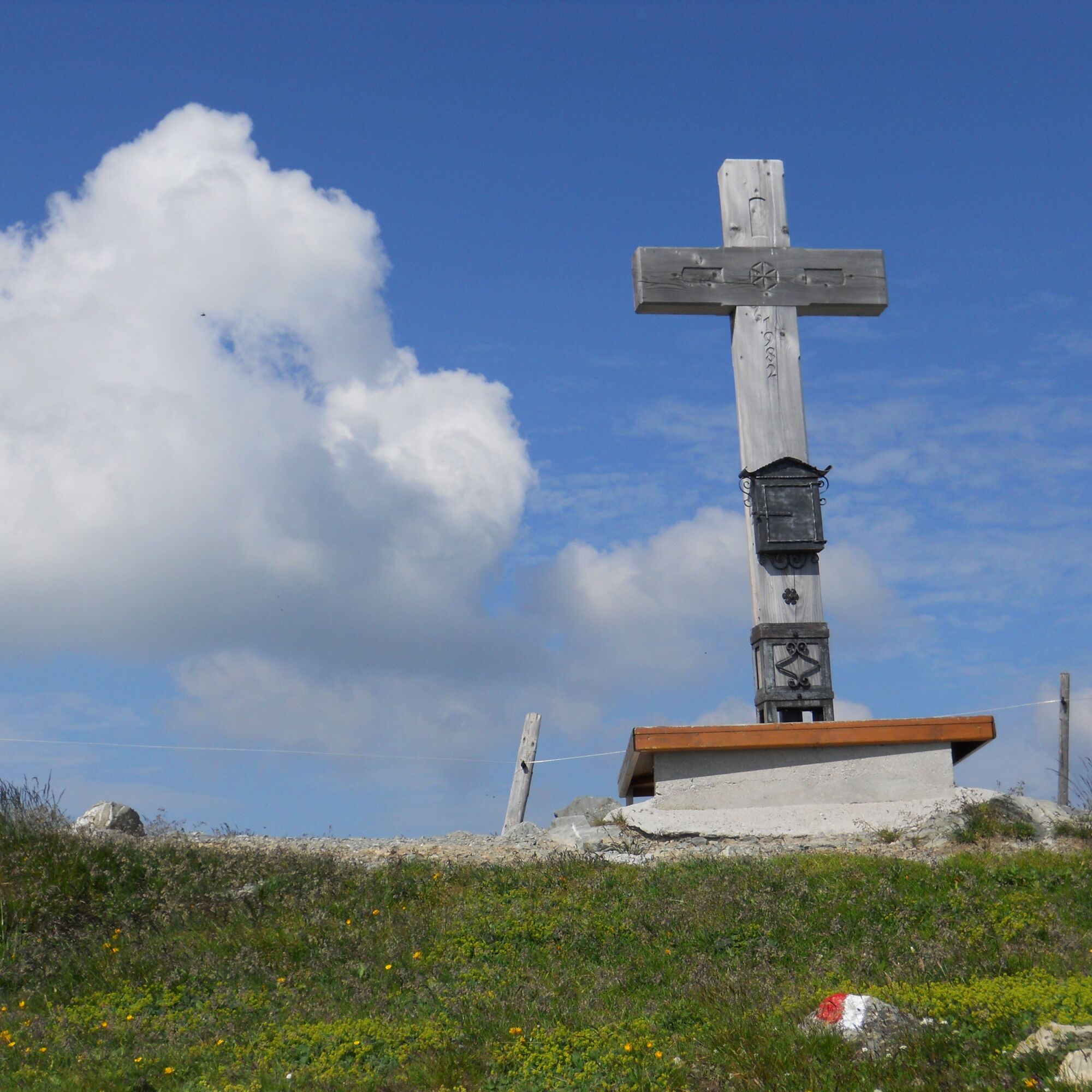
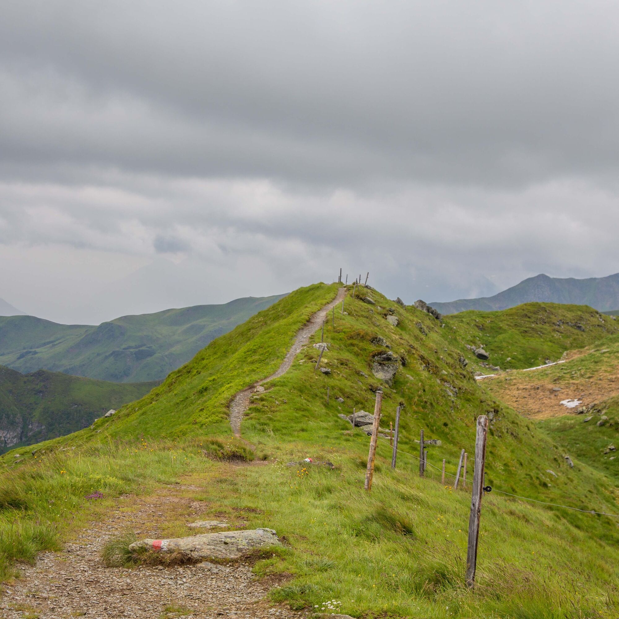
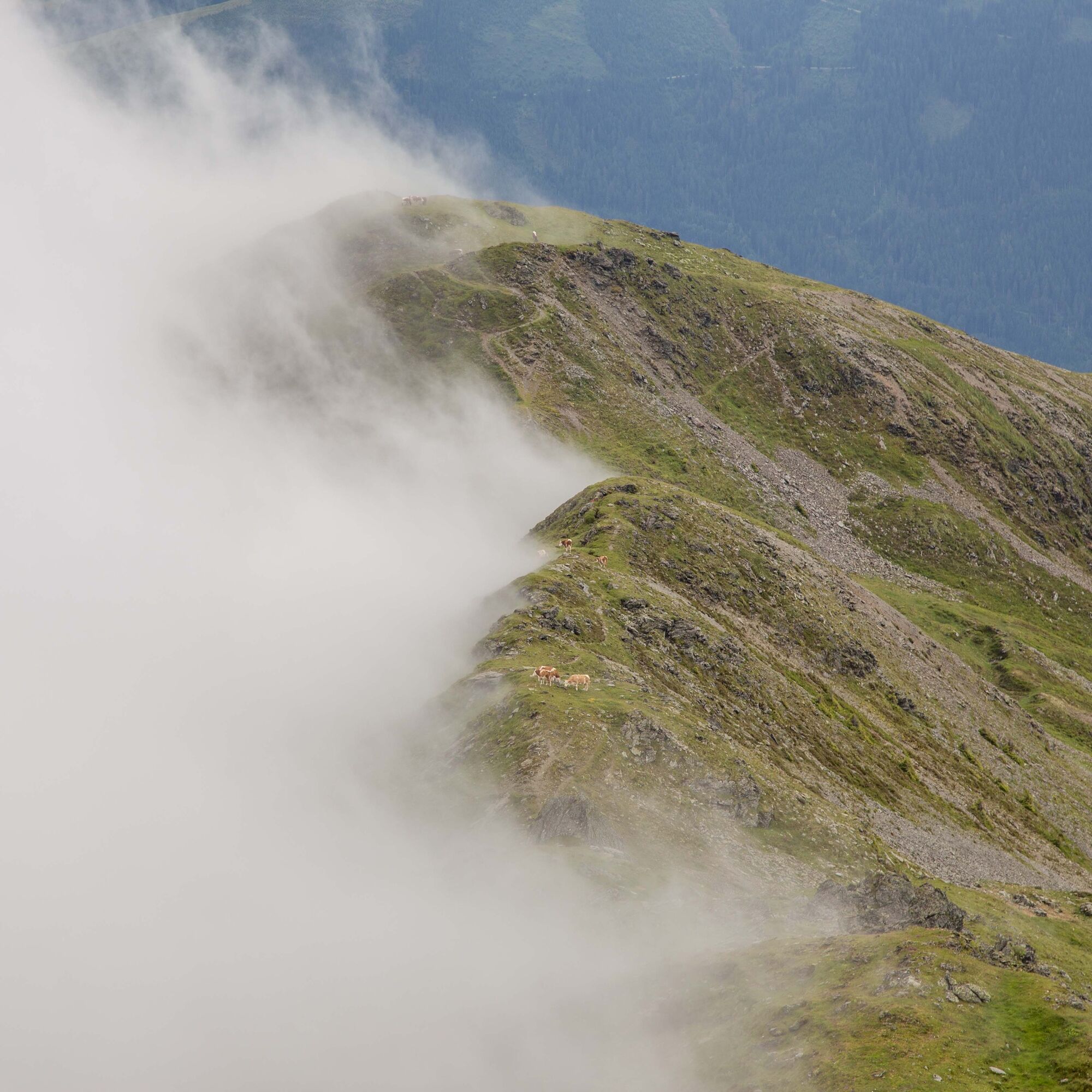
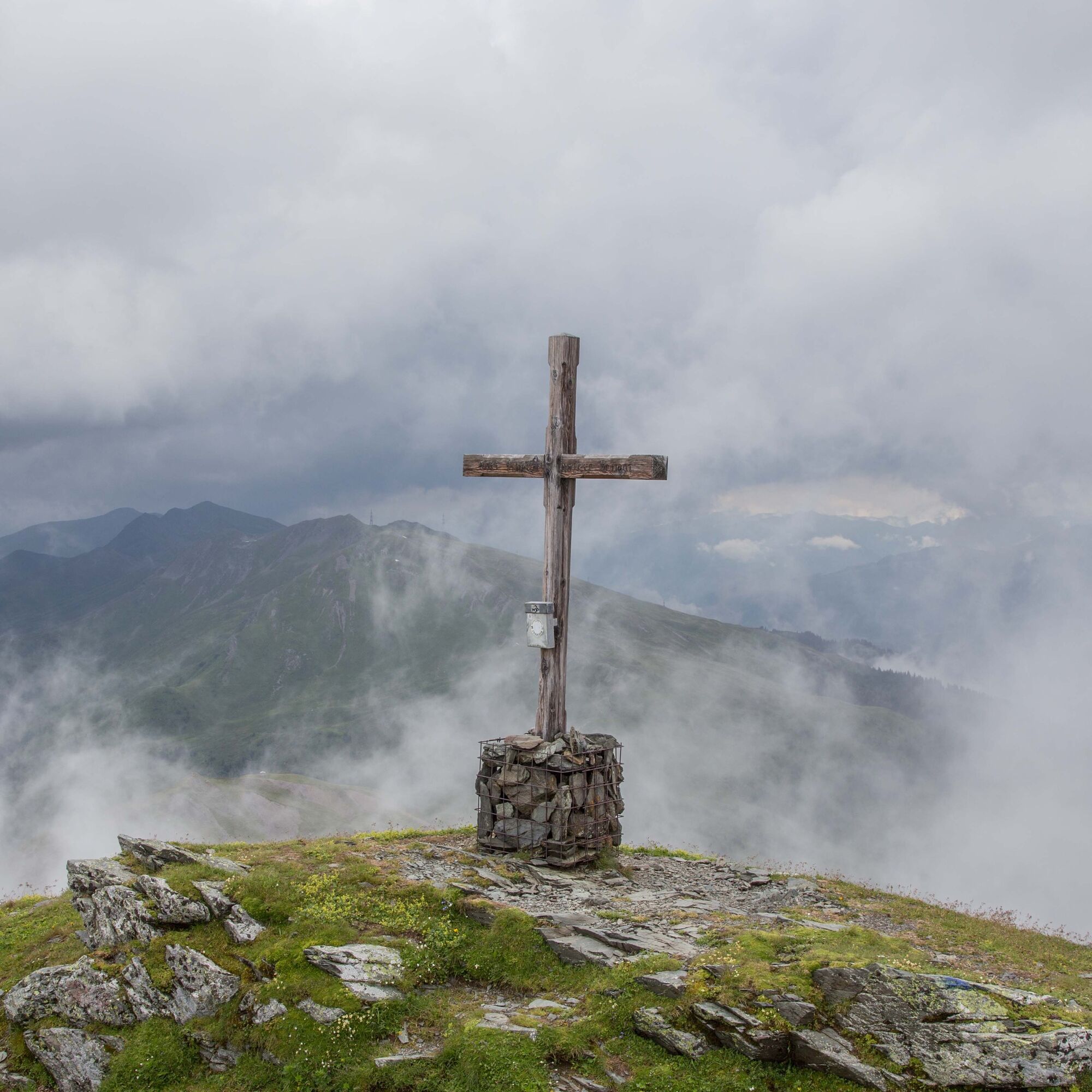
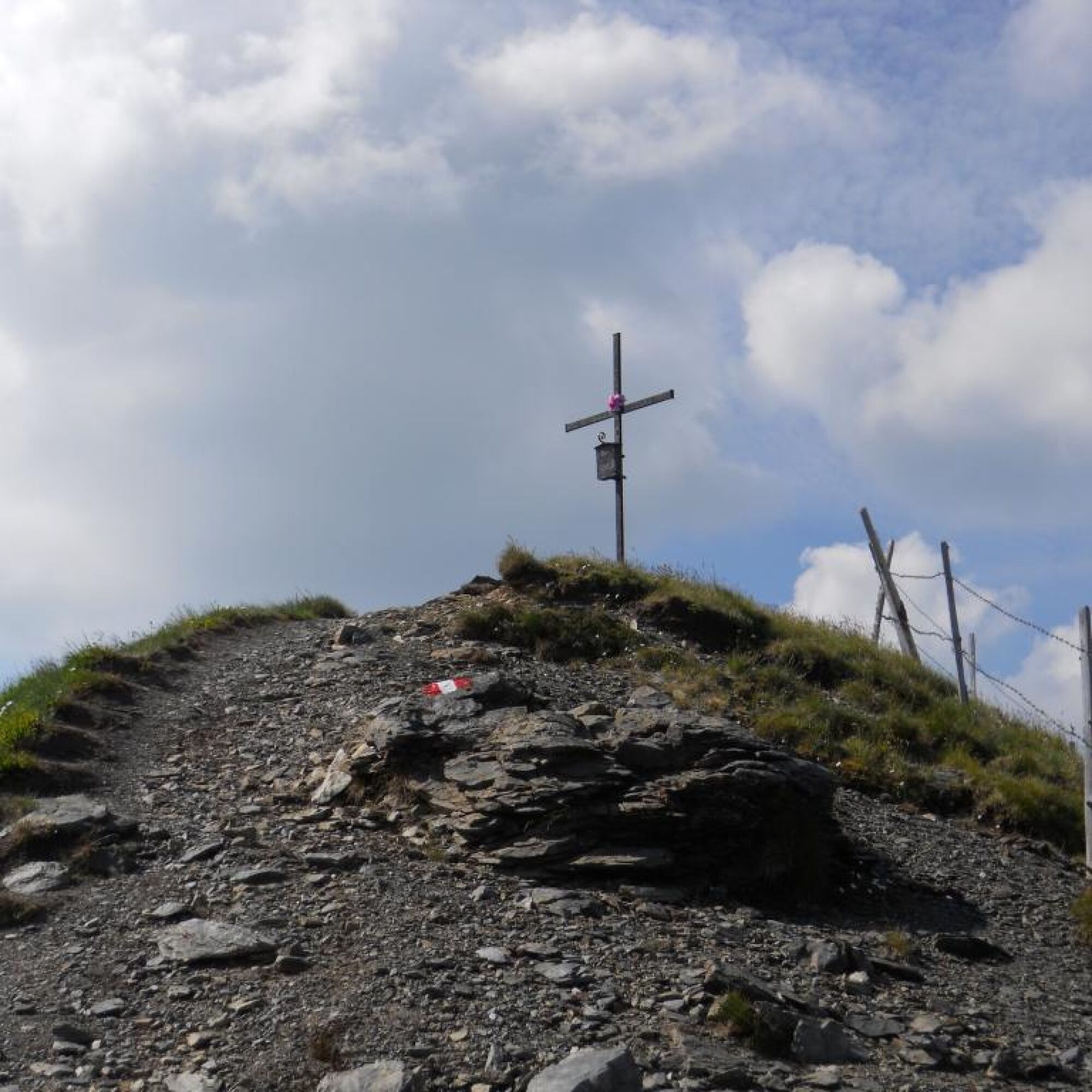
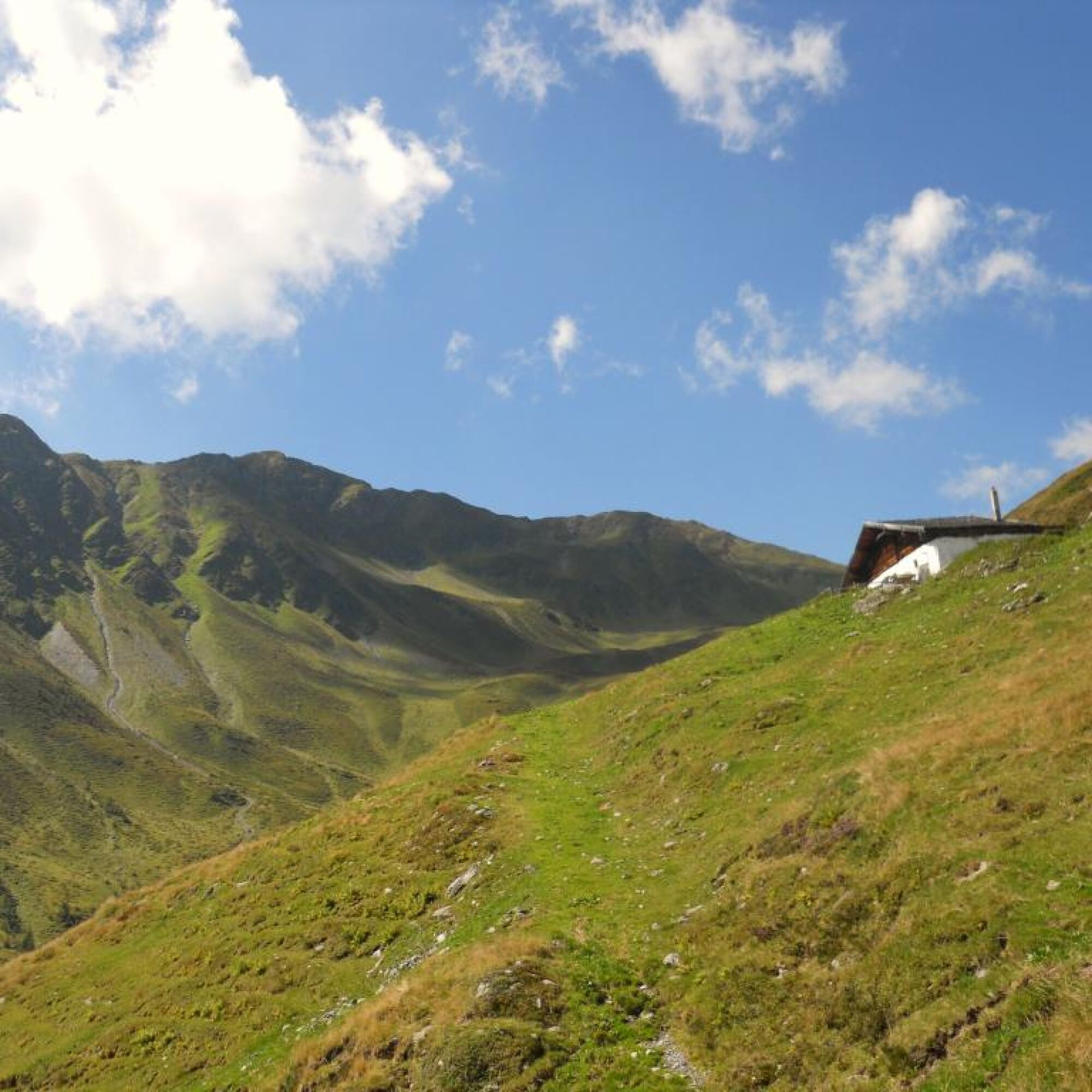

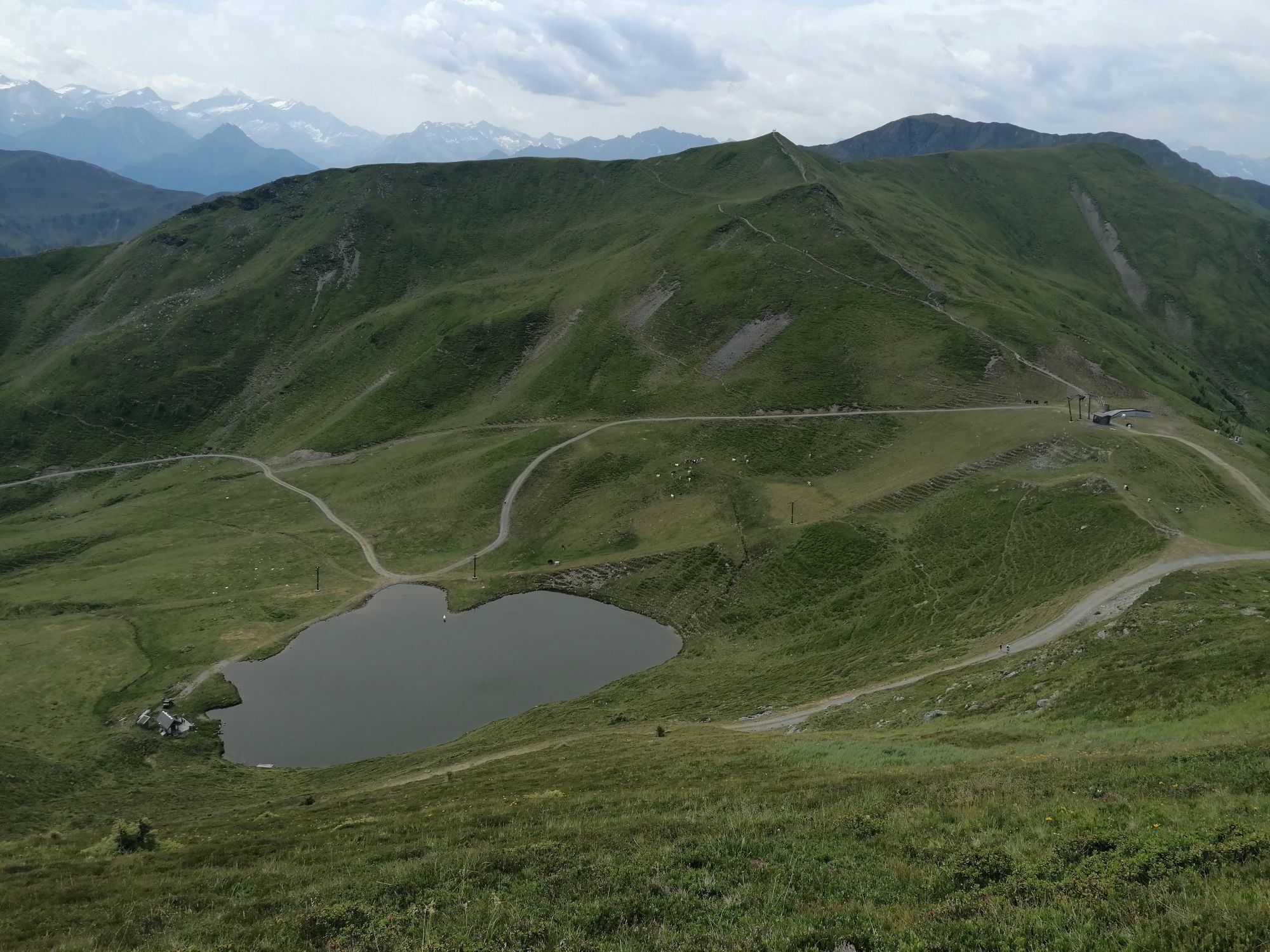
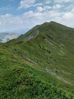
Now a scenic ridge hike to the Seekar and further to the Schönhoferwand, along the mountain ridge to the Stoffennieder
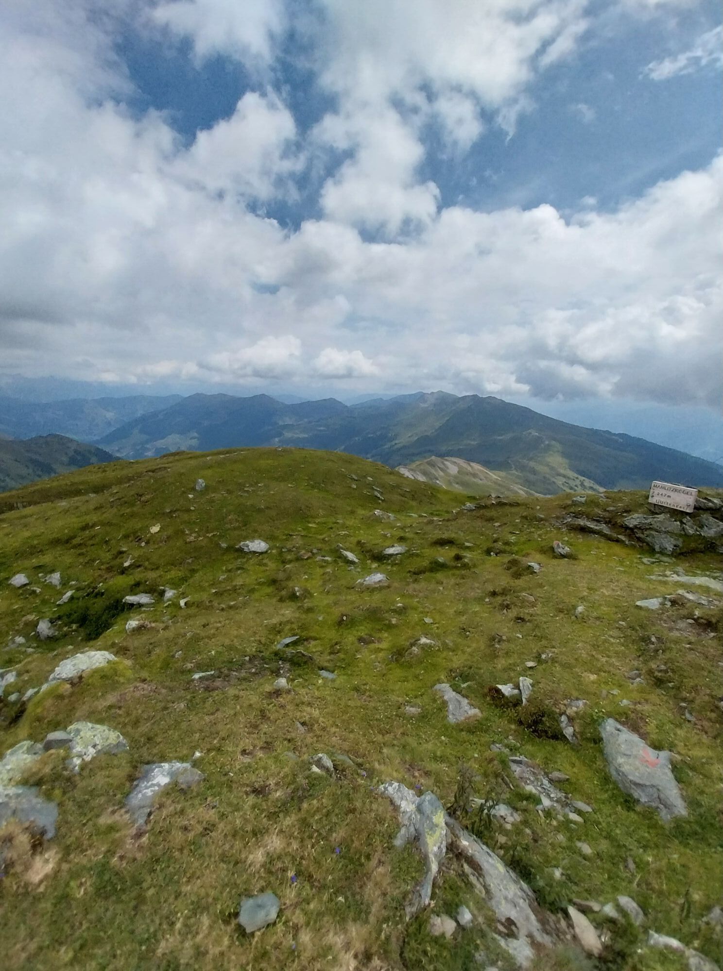
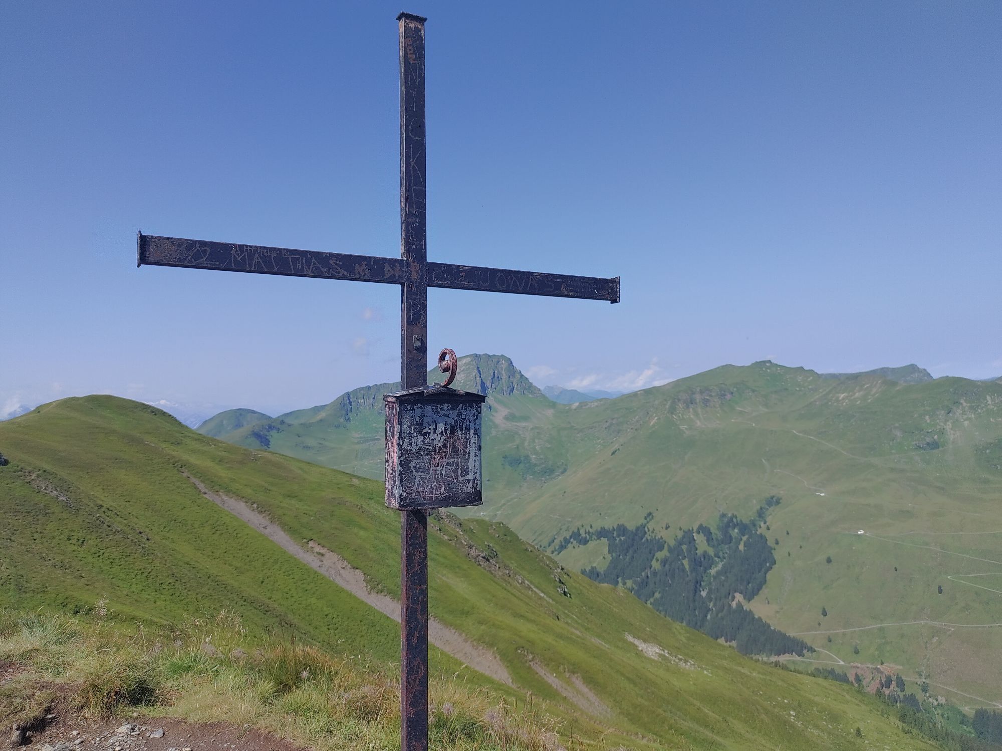
and again somewhat steeper to the Manlitzkogel.
The descent on the partly grassy and partly rocky path towards Rabenkopf should not be underestimated, especially when wet.
After about 30 minutes you reach the Panorama Trail and subsequently the Höhenweg 6 and to the Ellmaualm.
From here you can comfortably reach the middle station of the Zwölferkogelbahn in about 30 minutes.
Tak
Tak
Sturdy footwear, rain gear, sun protection
There is a shelter hut at Rabenkopf.
http://www.postbus.at/de/Fahrplanauskunft/index.jsp
Free parking directly at the Zwölferkogelbahn
Observe the operating times of the Zwölferkogelbahn.
You can repeatedly observe marmots, and our eagle pair is also frequently seen.
 Uzyskaj wgląd Zawsze na żywo z ponad 9 500 kamer internetowych. bergfex Jako użytkownik Pro, możesz teraz zobaczyć odpowiednie kamery internetowe dla wielu wycieczek w aplikacji wycieczki od. Pozwala to na bezpośredni podgląd aktualnych warunków.

Popularne wycieczki w okolicy
- 4,2
Maurerkogel (Top)
Wędrówka 10,5 km - 4,9
Hochsonnberg Runde
średniMountainbike 59,8 km - 5,0
Leo’s play hiking trail
światłoTrasa tematyczna 4,89 km - 4,6
Panorama route 3 peaks and 2 lakes
średniWędrówka 7,21 km - 4,7
Tristkogel
ciężkiWędrówka 15,6 km - 5,0
10D Hochsonnbergrunde
średniMountainbike 26,4 km - 3,9
Hollersbach: Pihapper path no. 935
ciężkiWędrówka 12,8 km - 3,6
Mittersill: Raised bog Wasenmoos path no. 77
światłoTrasa tematyczna 7,06 km - 4,8
Fieberbrunn- Wildseeloderhaus- Rund um die Henne/Hochhörndlehütte
średniWędrówka 8,02 km - 4,9
Schmittenhöhe - Hochsonnbergalm - Pinzgauer Hut
średniWędrówka 9,09 km
Wędrówki i tropienie


Nie przegap ofert i inspiracji na następne wakacje
Twój adres e-mail została dodana do listy mailingowej.





