


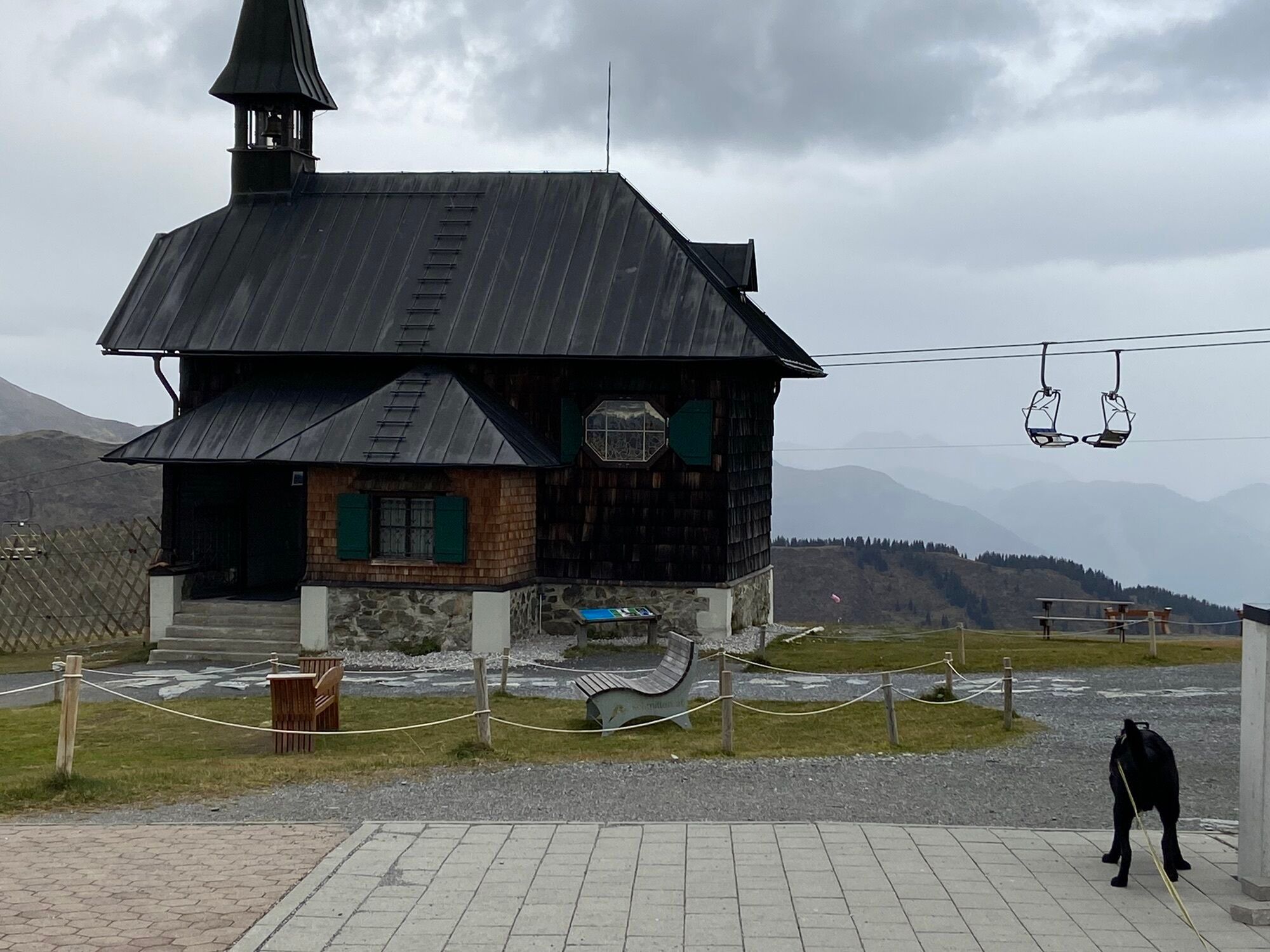
Schmittenhöhe - Hochsonnbergalm - Pinzgauer Hut
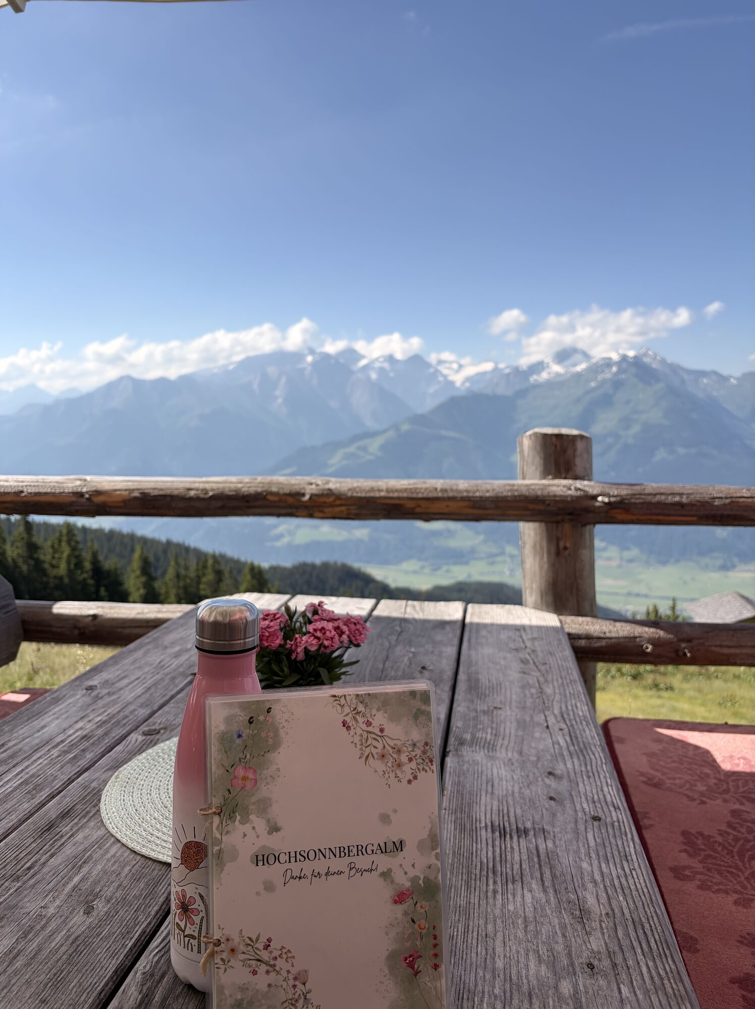
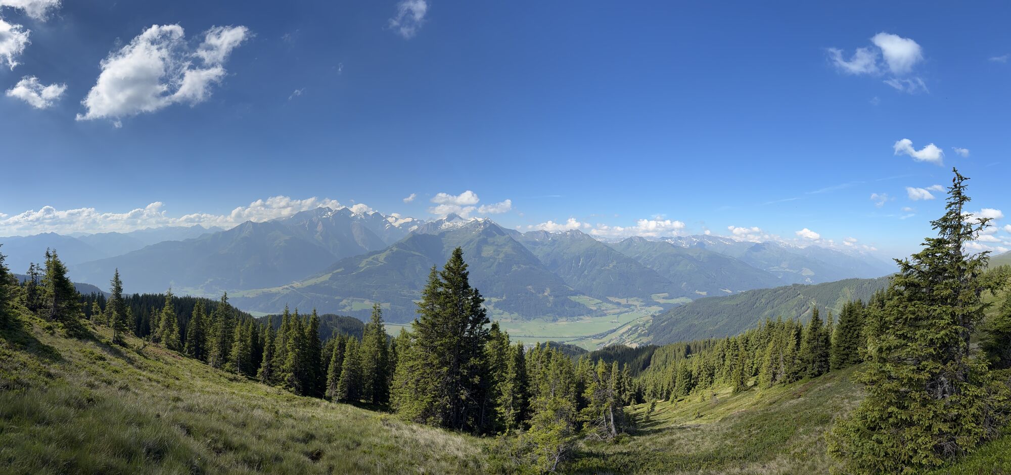
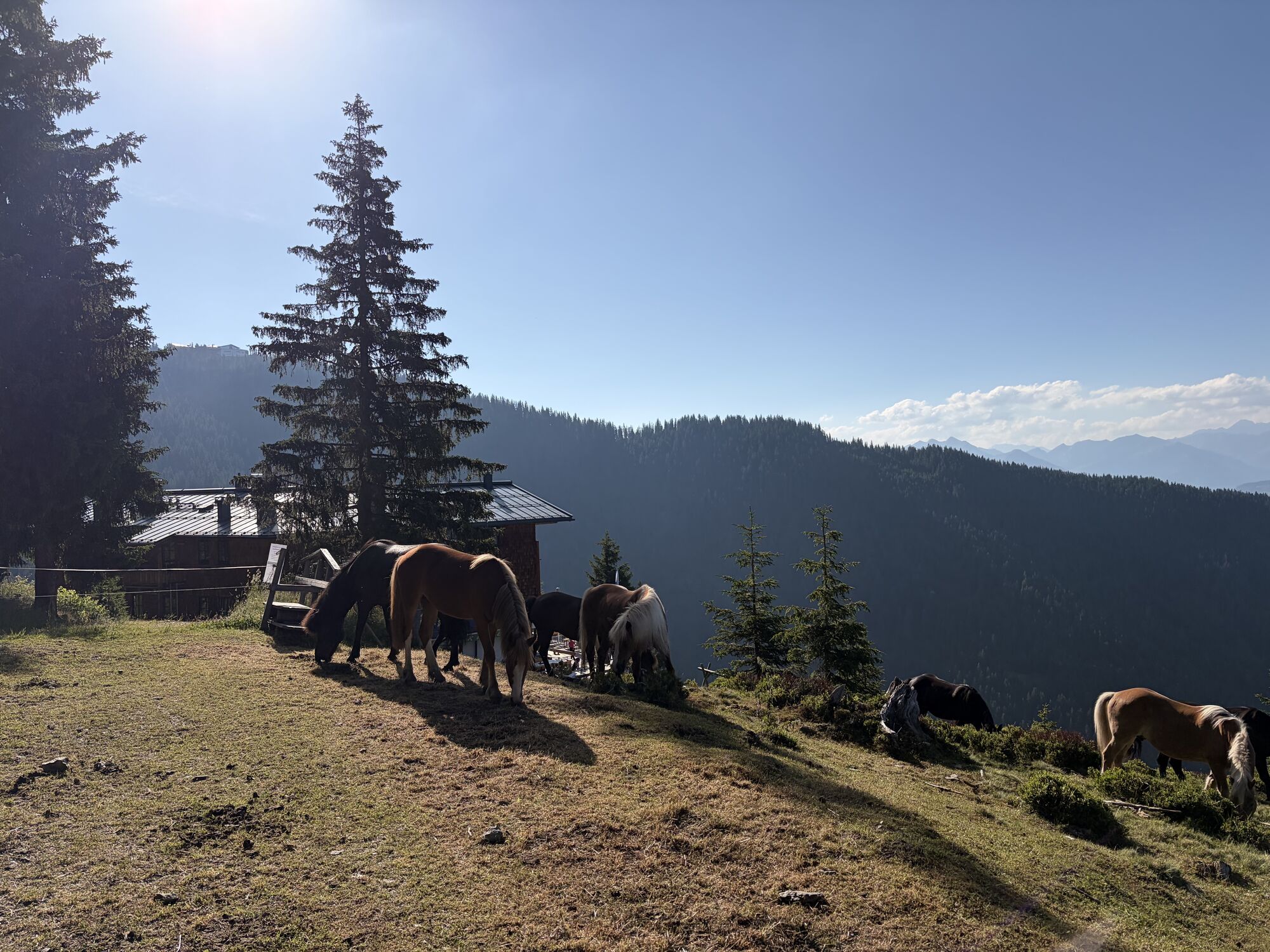
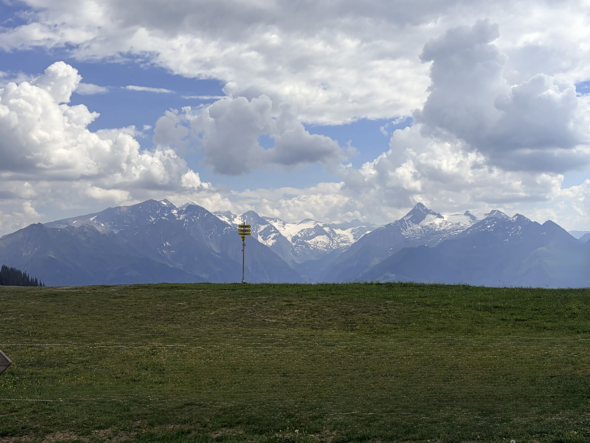
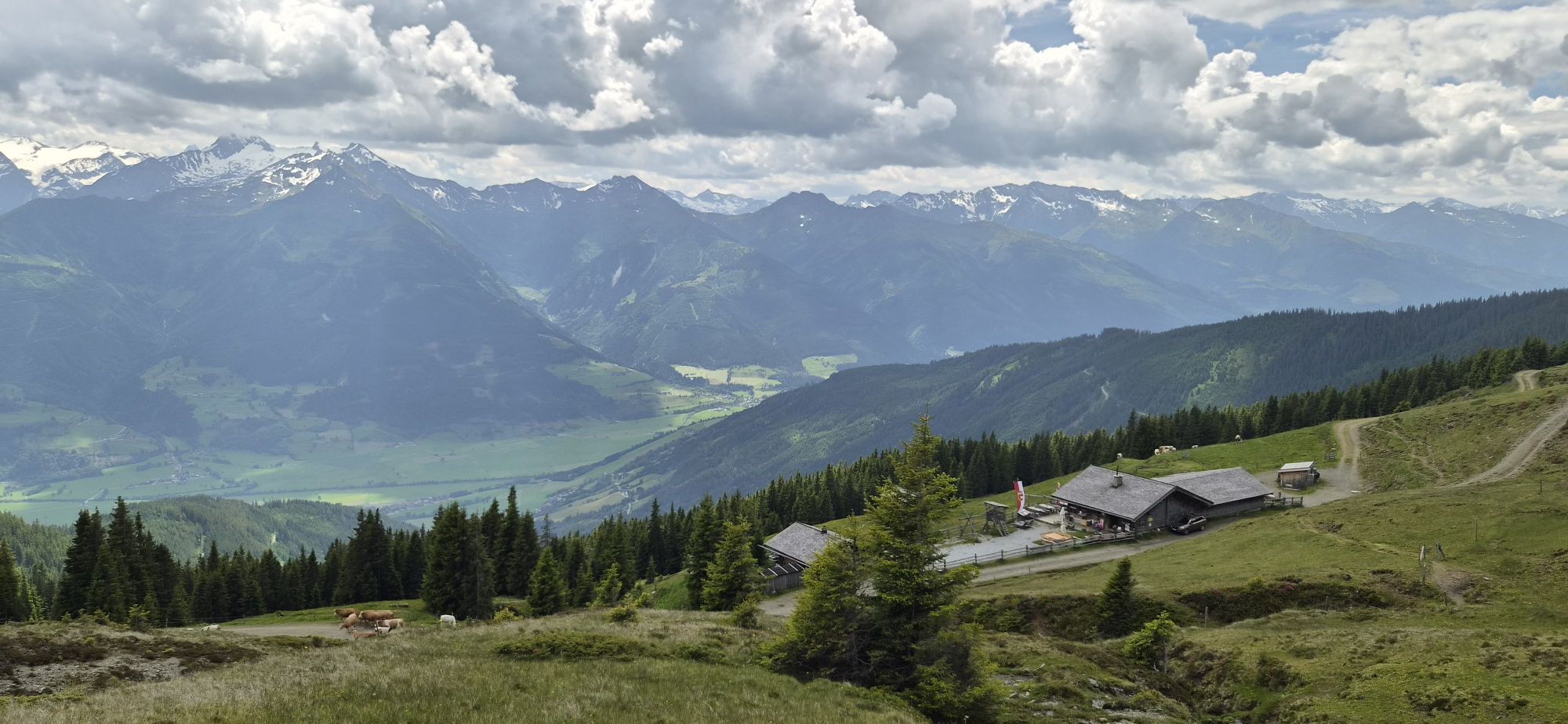
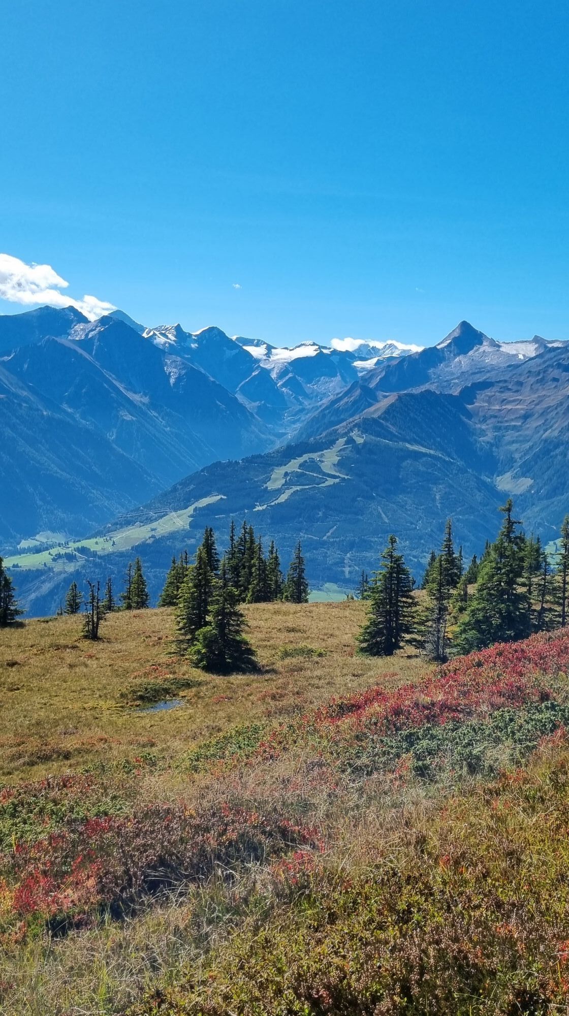

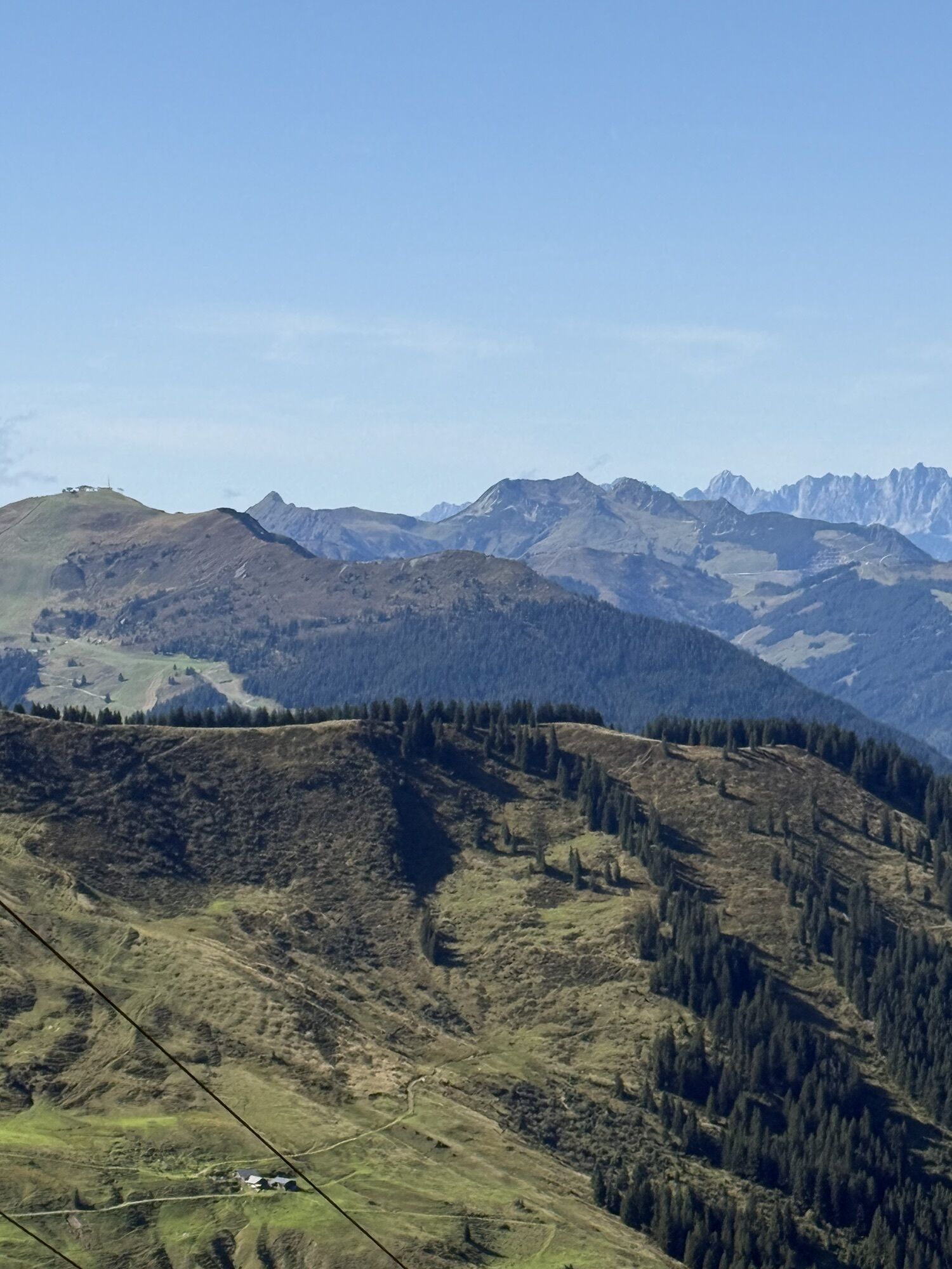
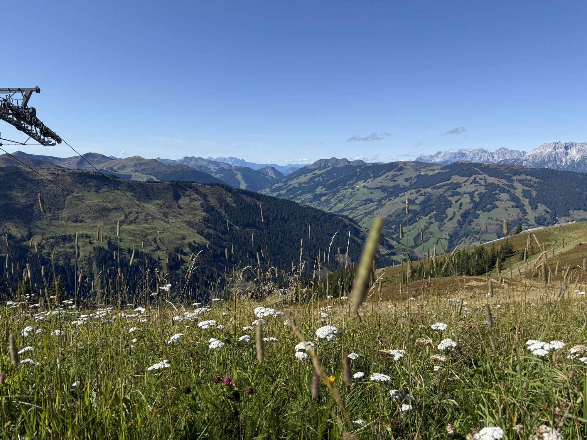

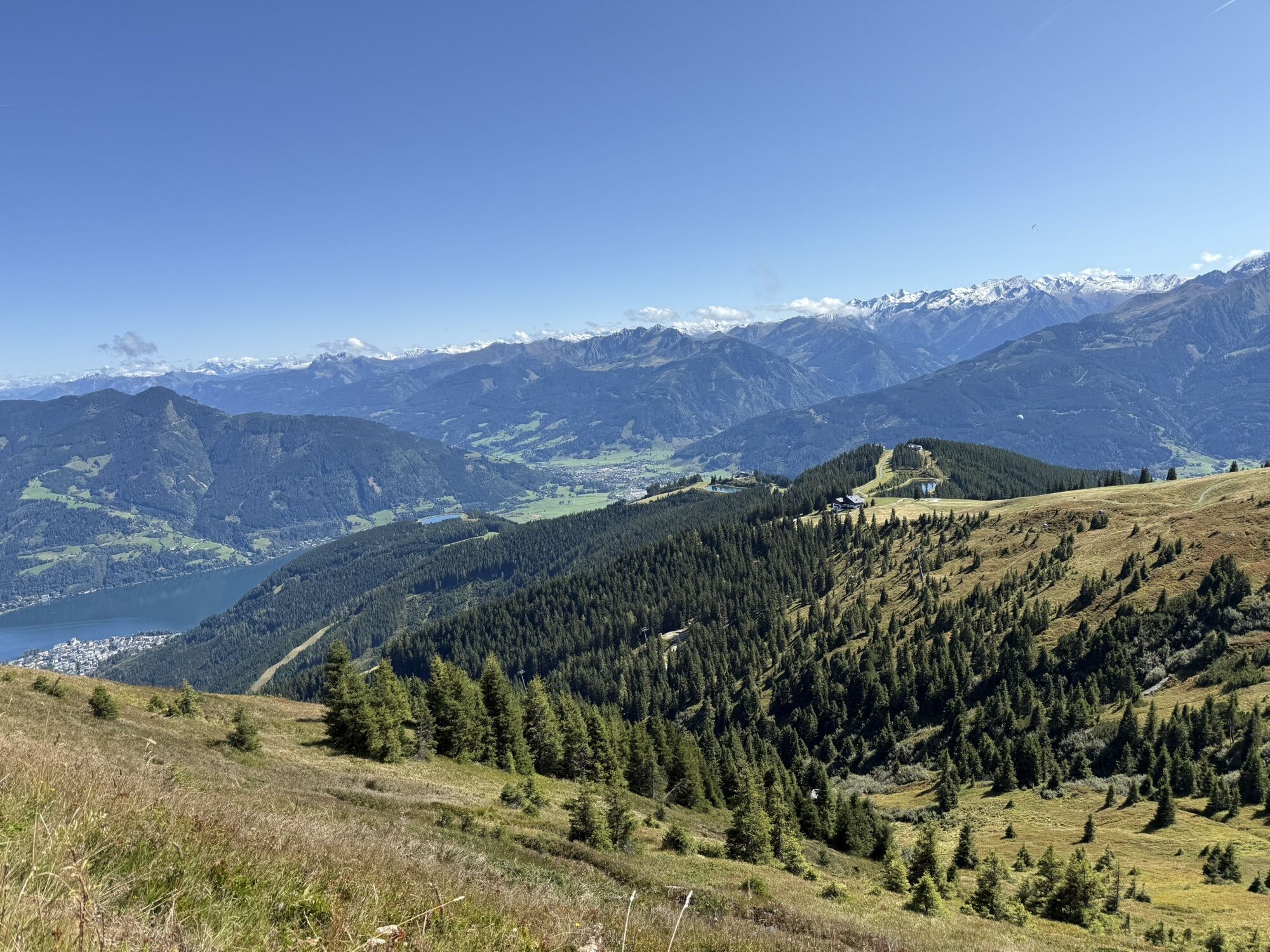

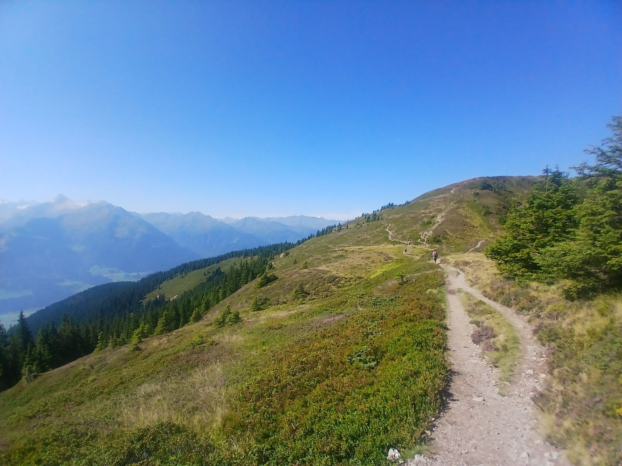
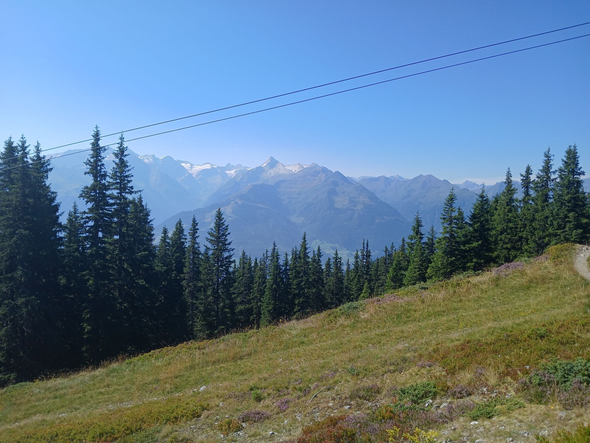
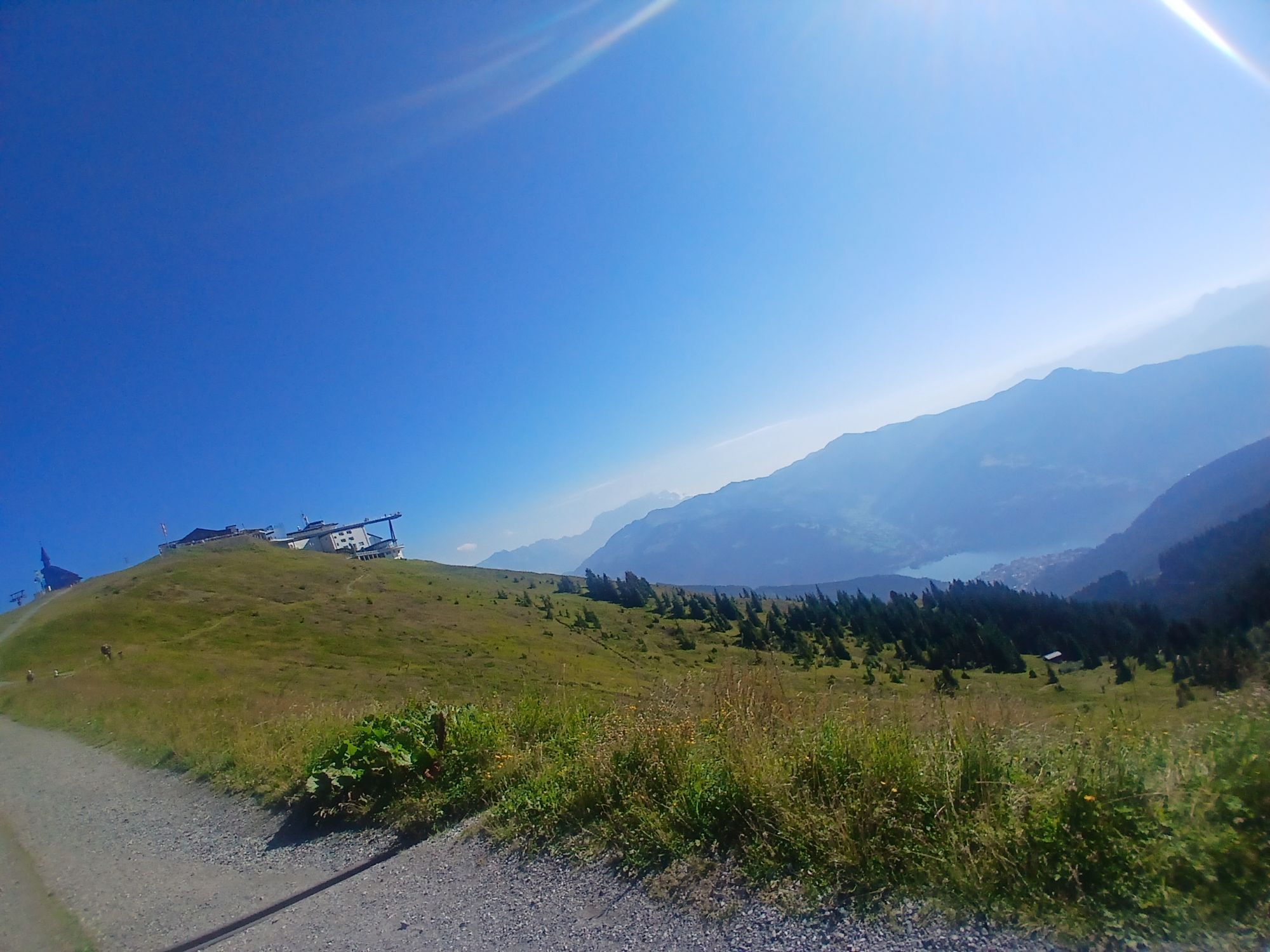
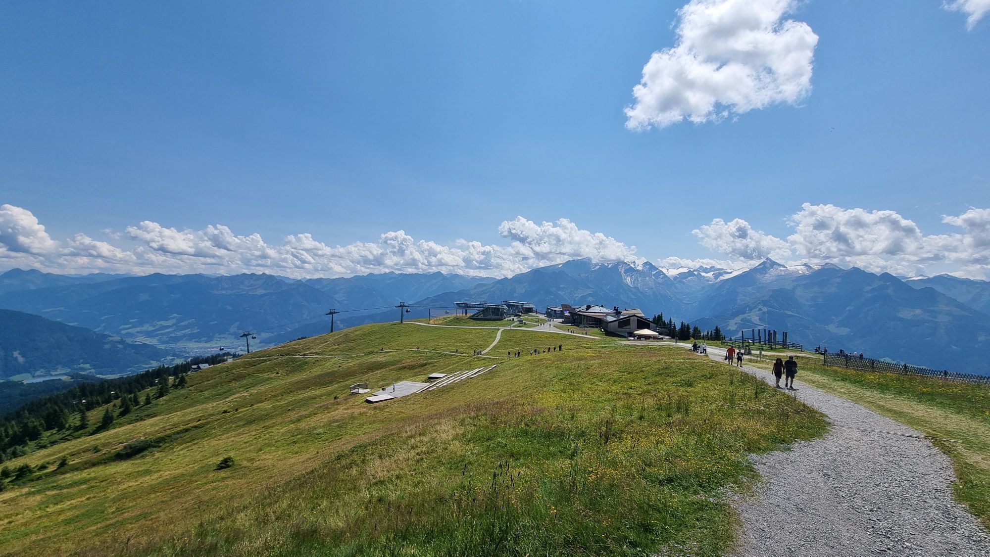
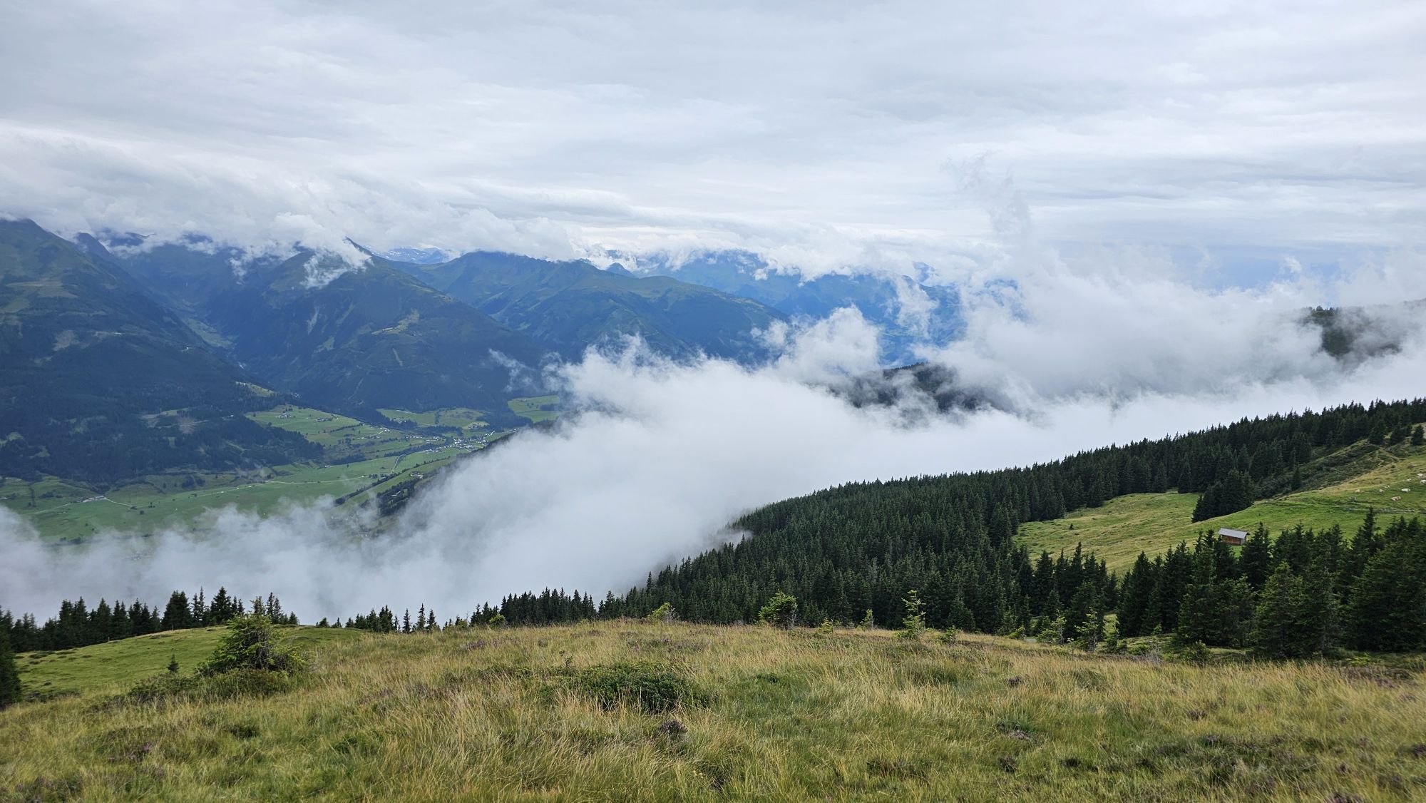
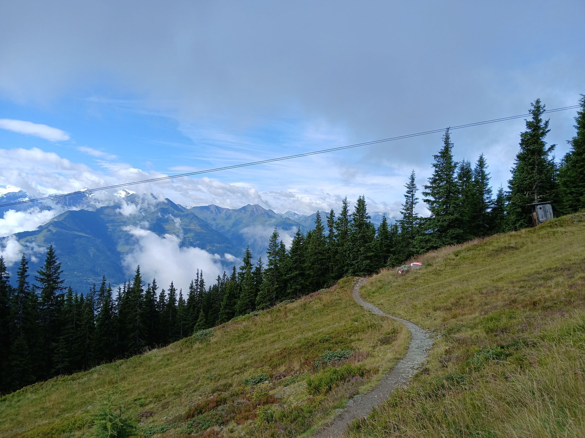


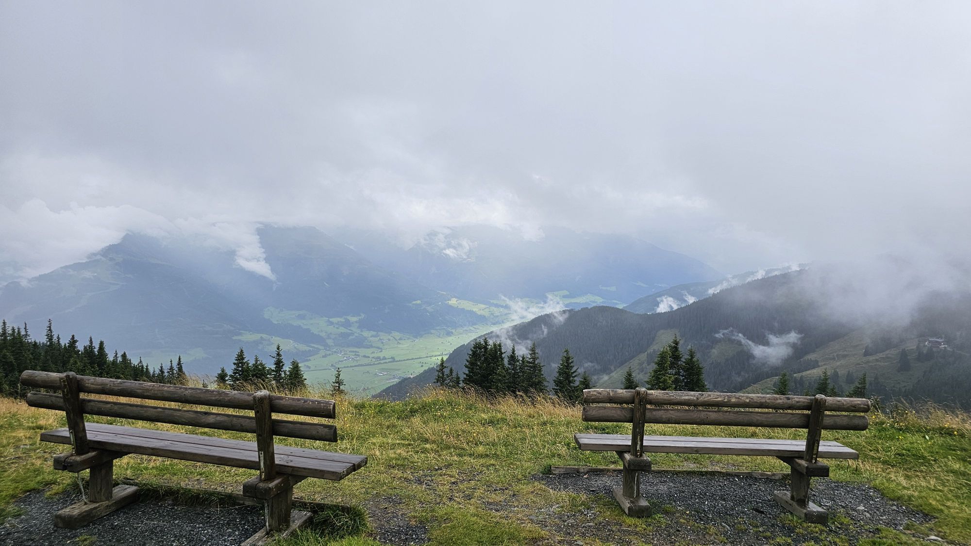

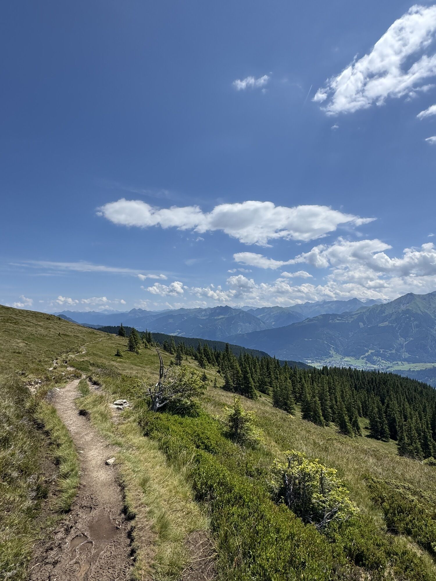
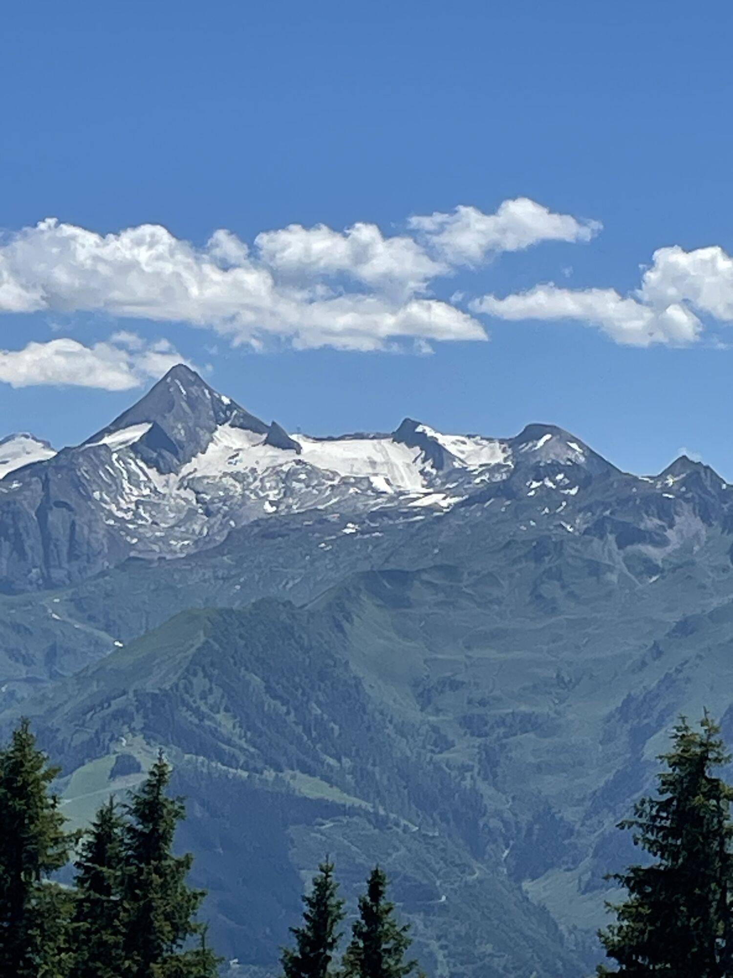
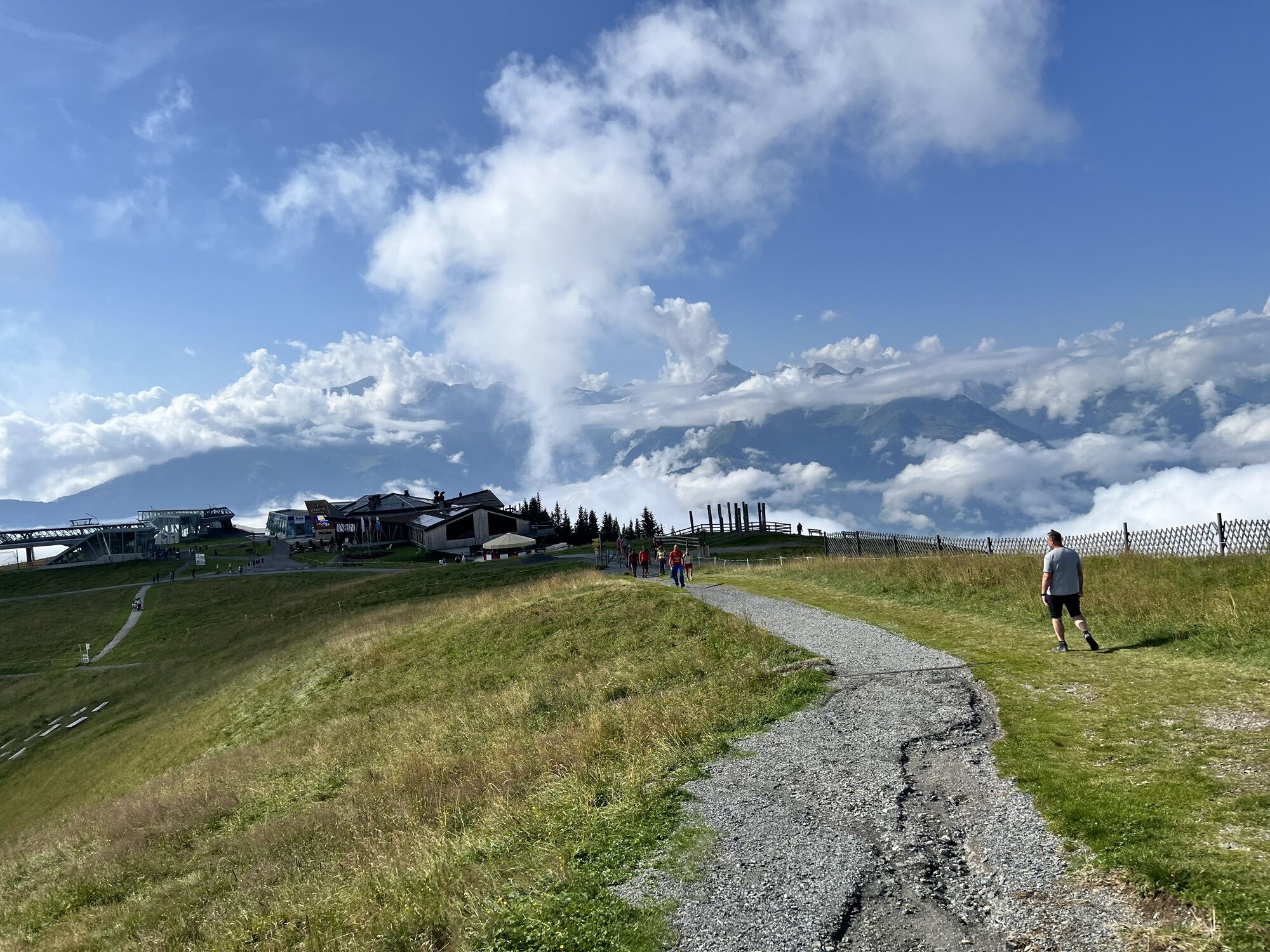
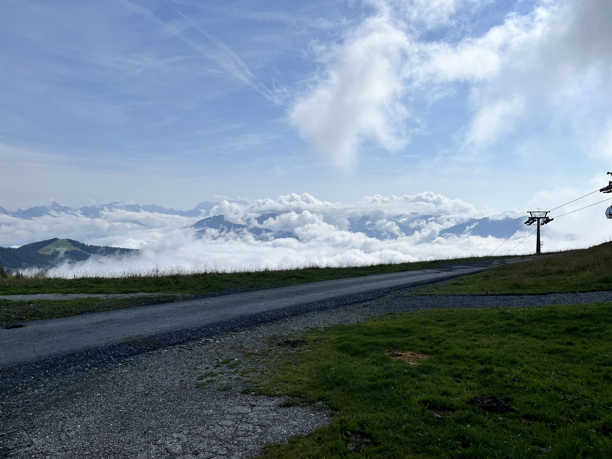
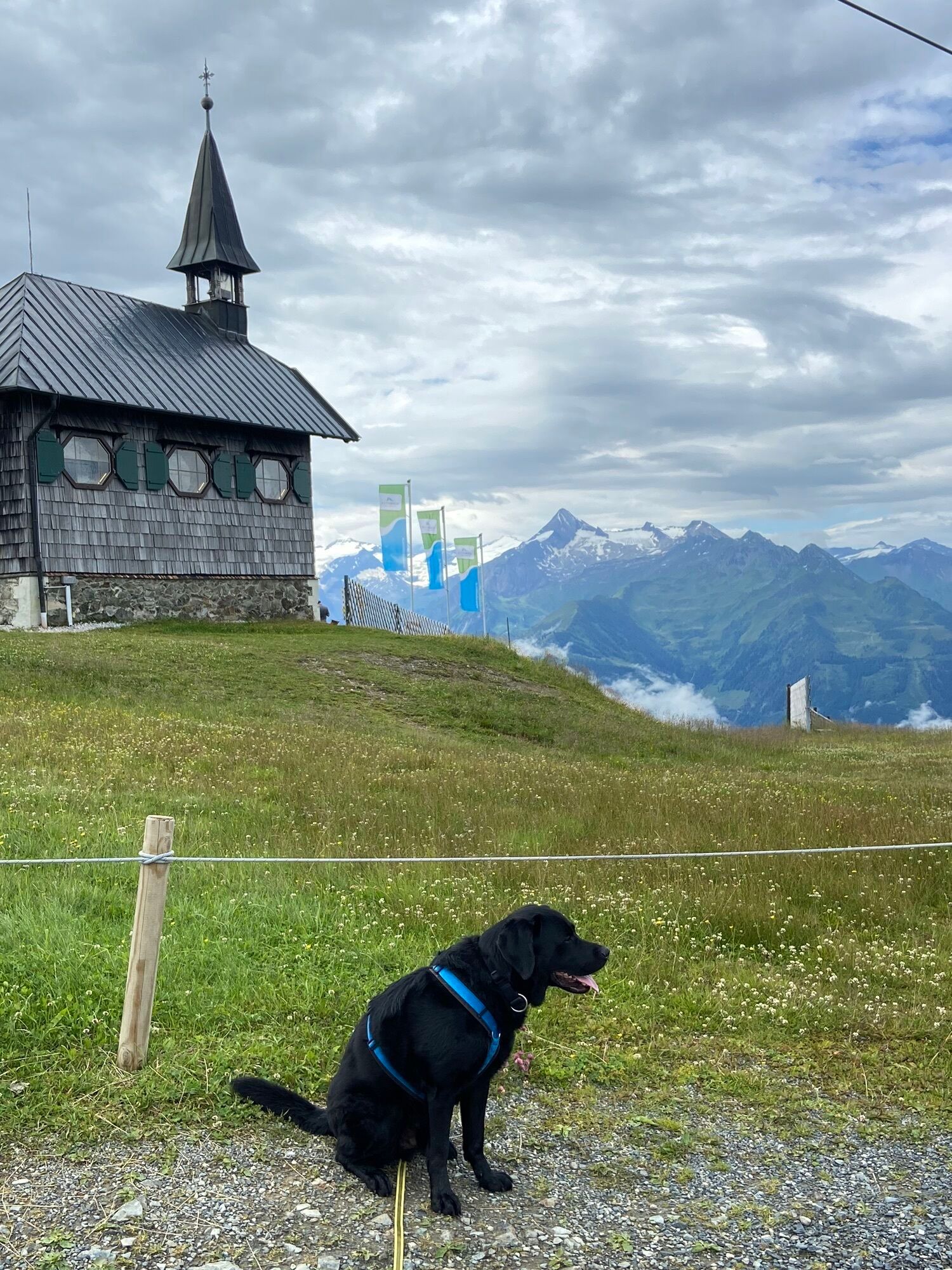
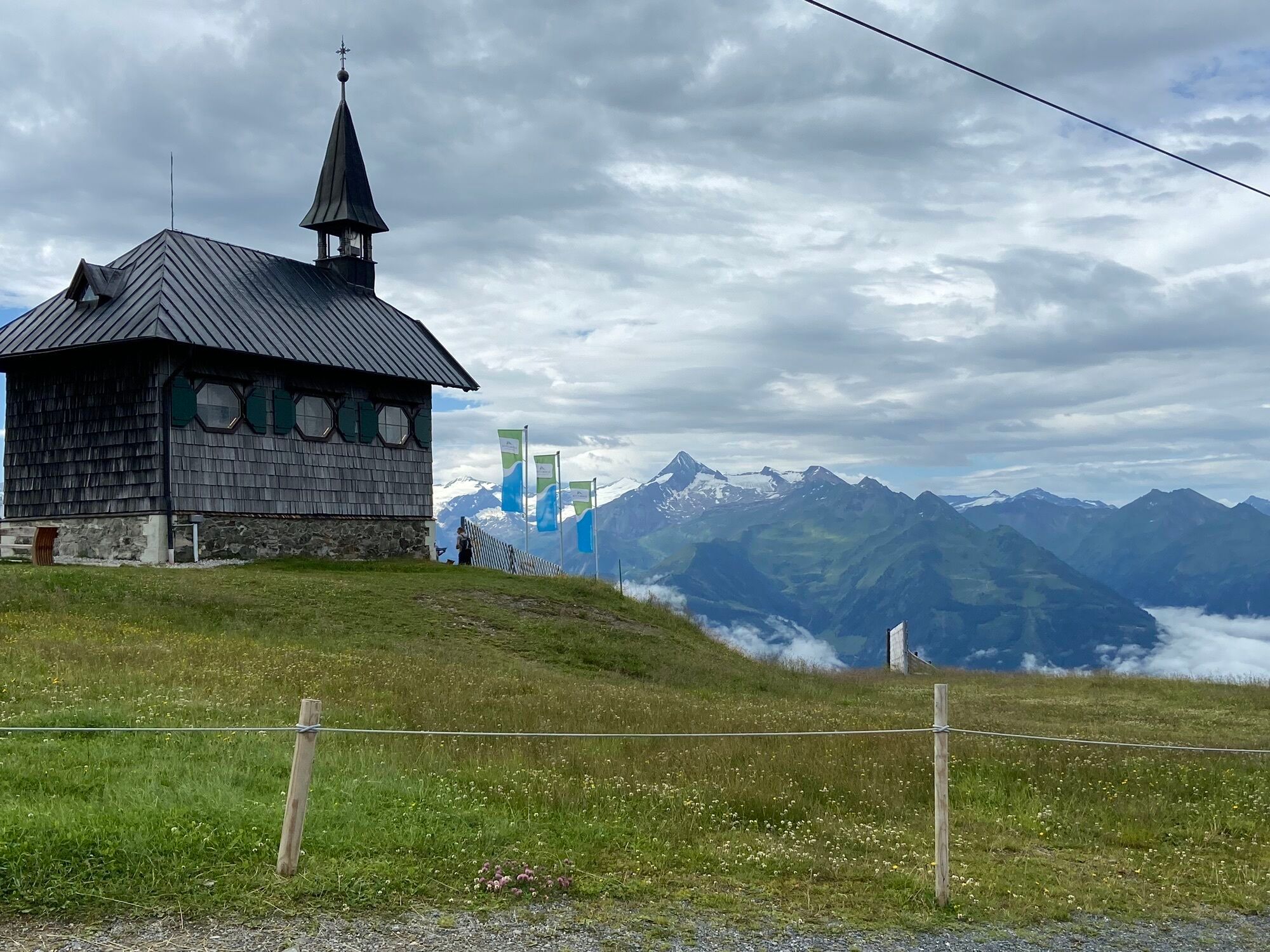
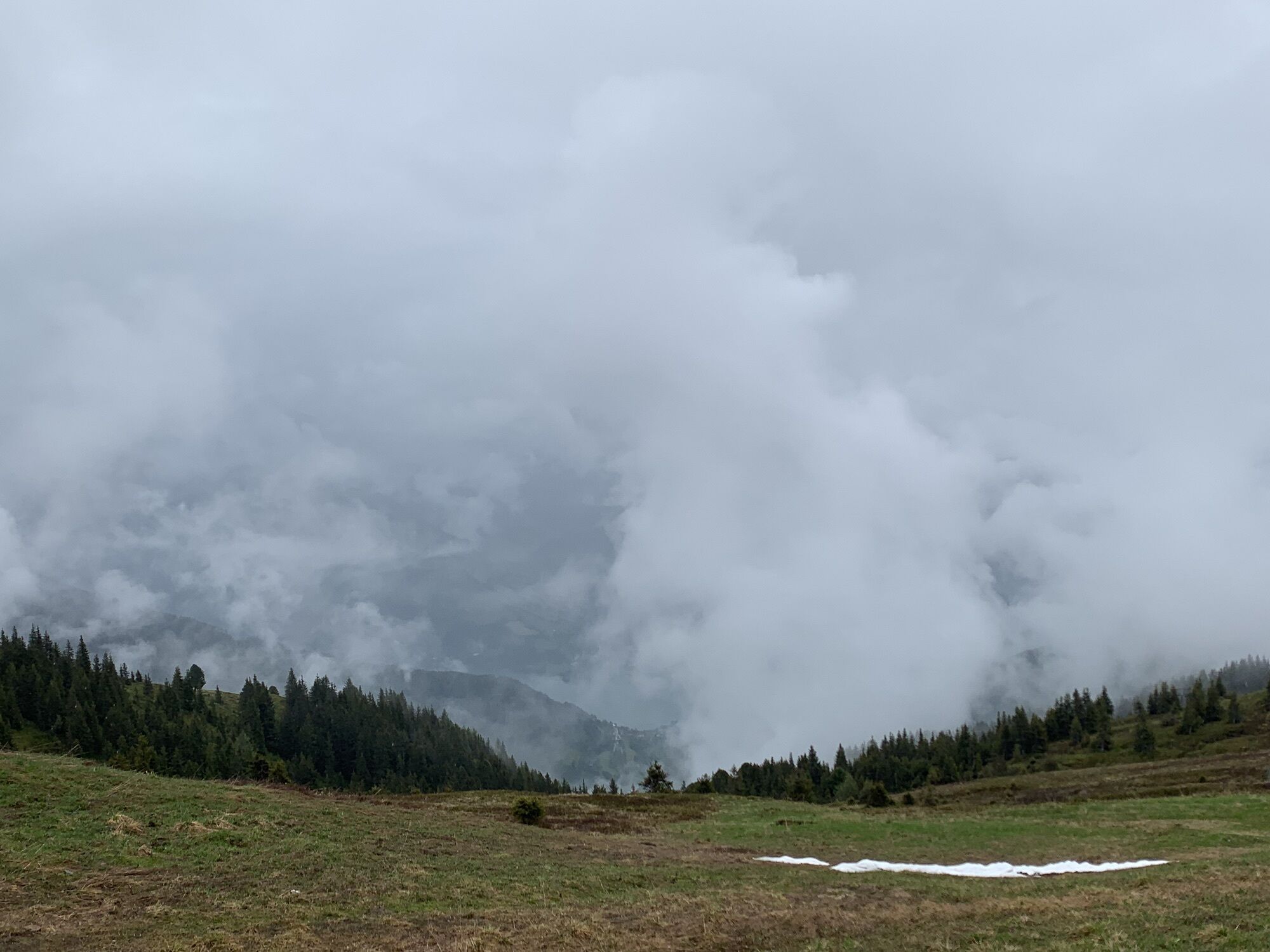
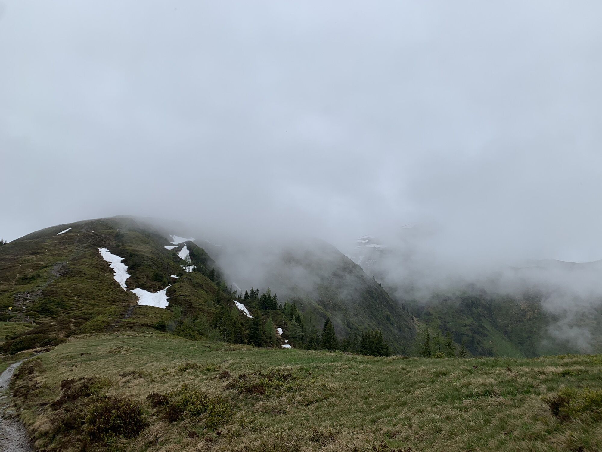
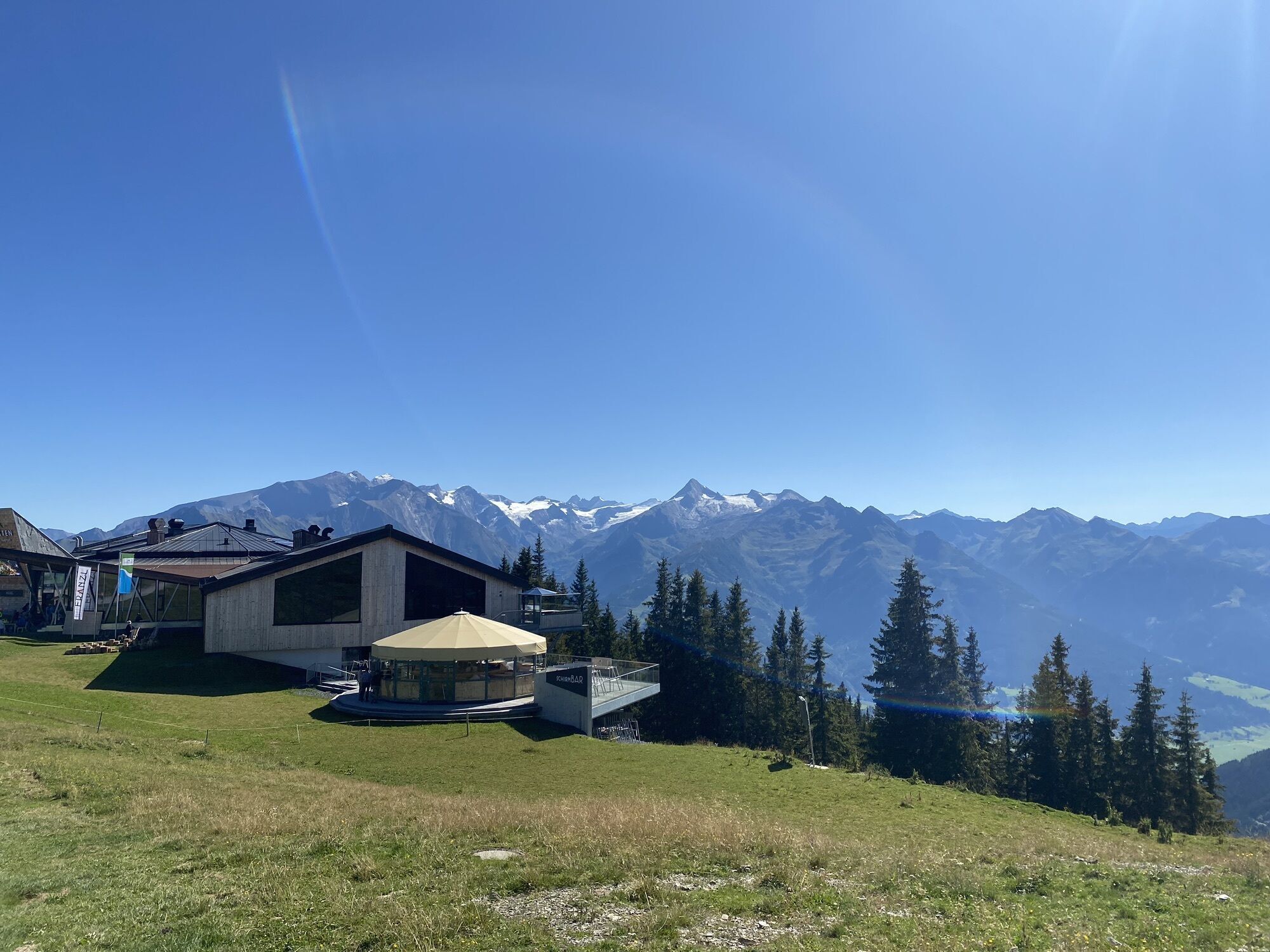
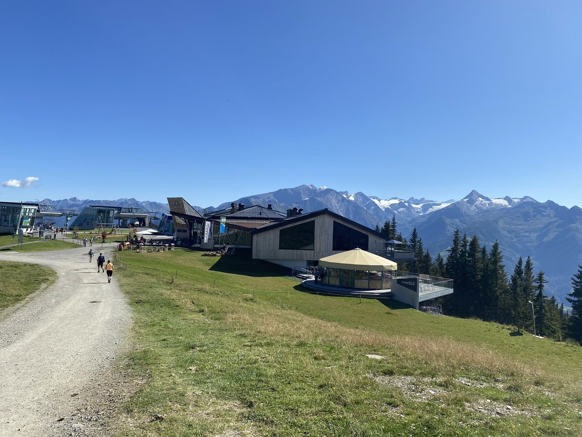
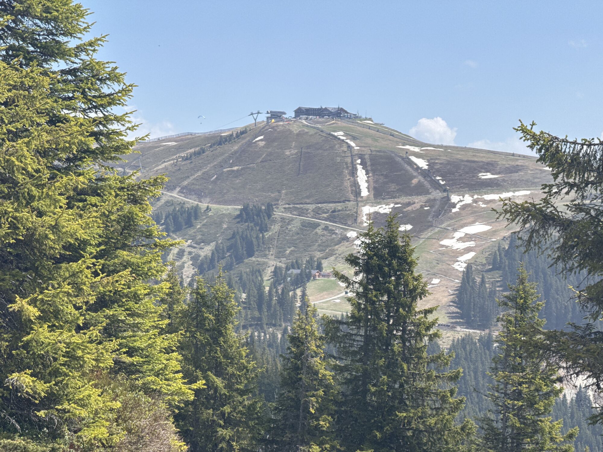
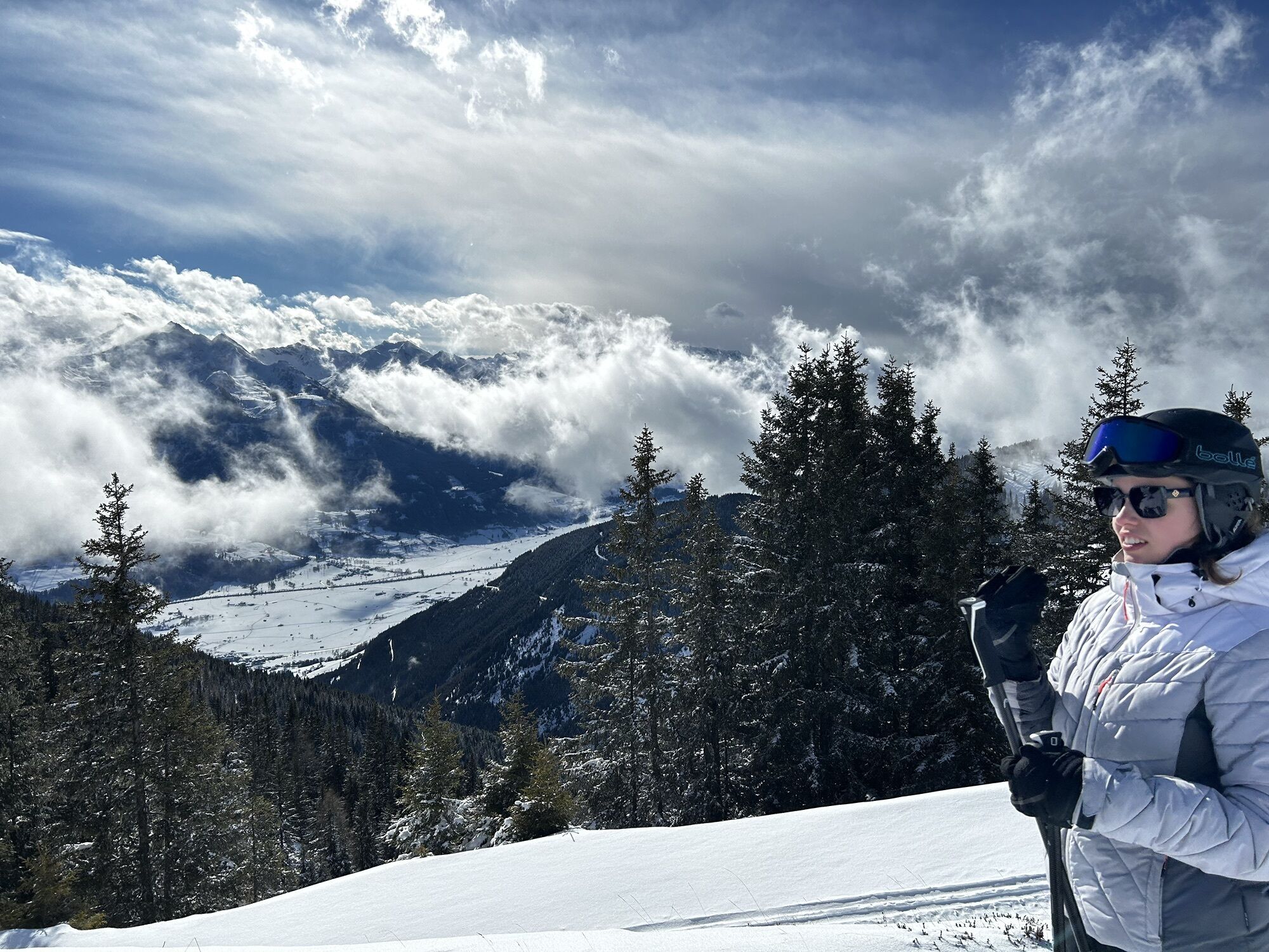
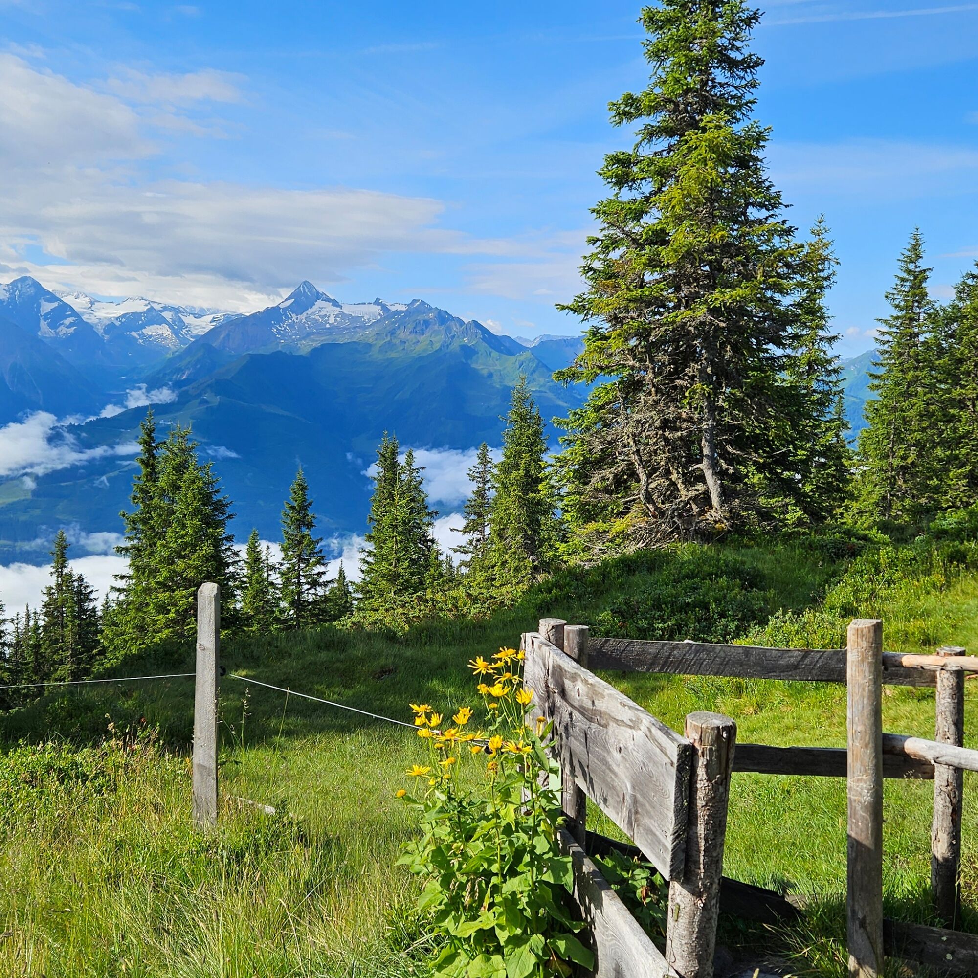
This scenic high circular trail, with few elevation meters and connecting Schmittenhöhe with Hochsonnbergalm and the Pinzgauer Hut, offers top views of the mountains and valleys of the Salzburg region,...
This scenic high circular trail, with few elevation meters and connecting Schmittenhöhe with Hochsonnbergalm and the Pinzgauer Hut, offers top views of the mountains and valleys of the Salzburg region, especially the Hohe Tauern.
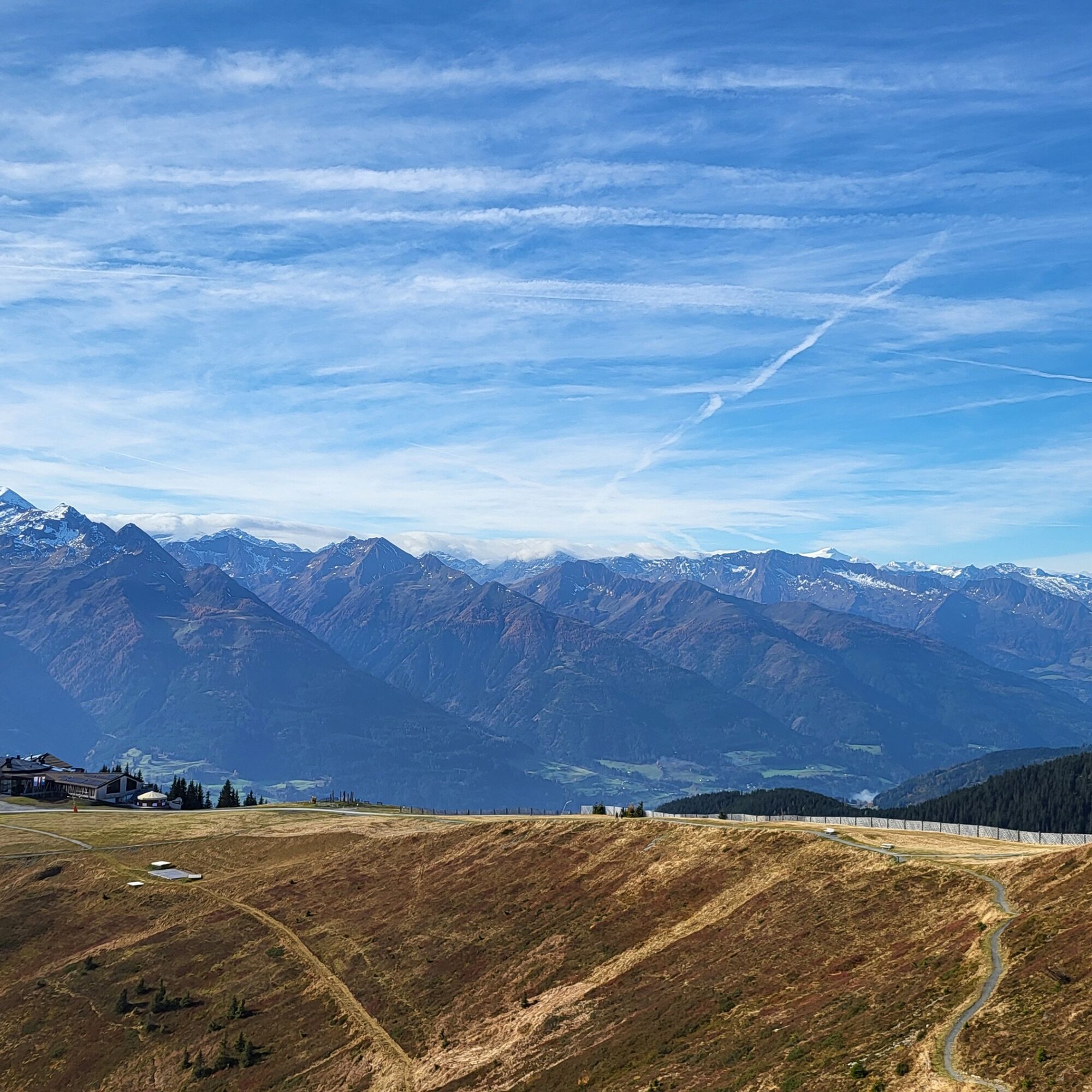
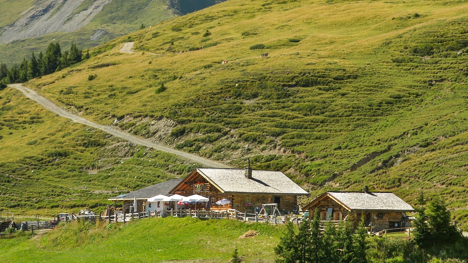
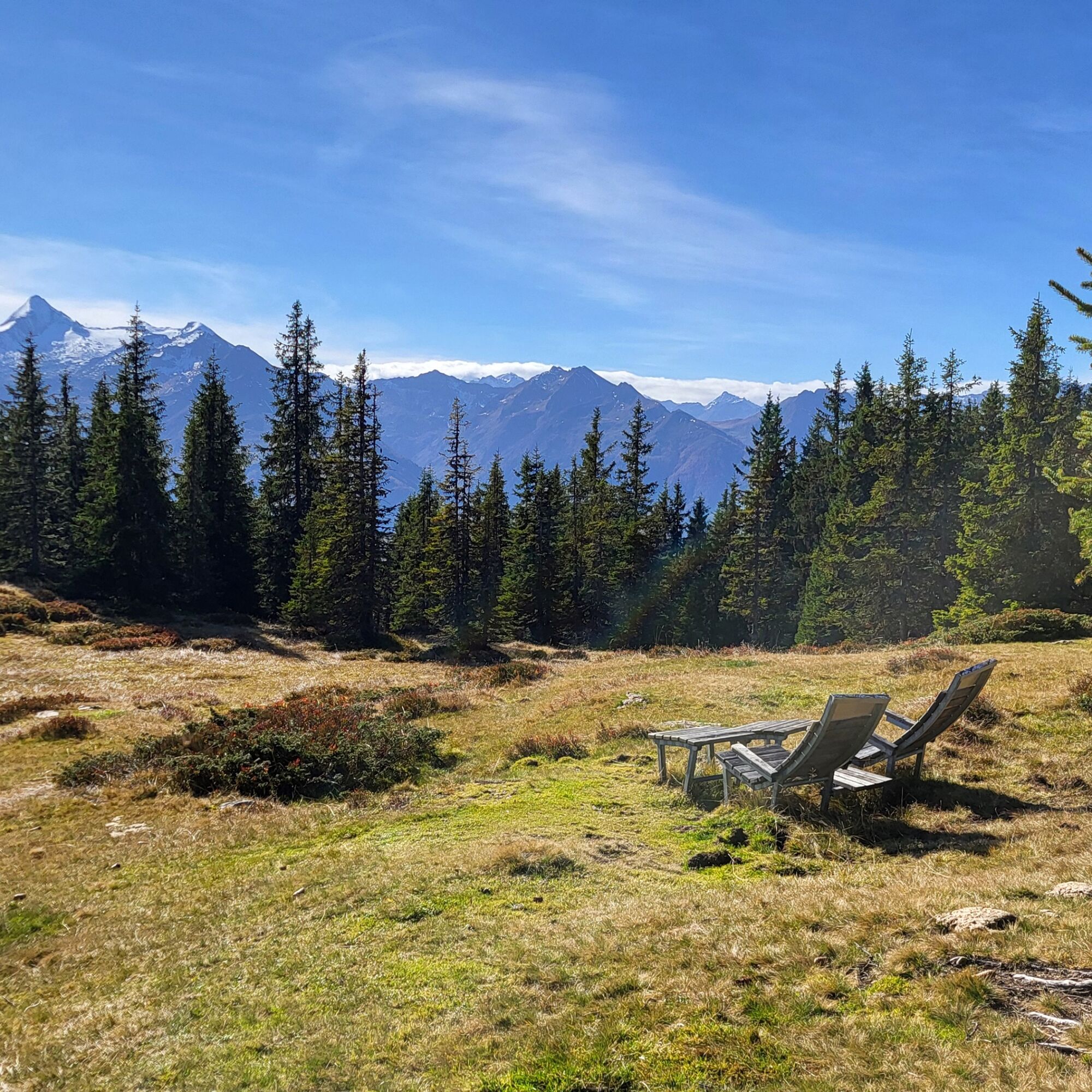
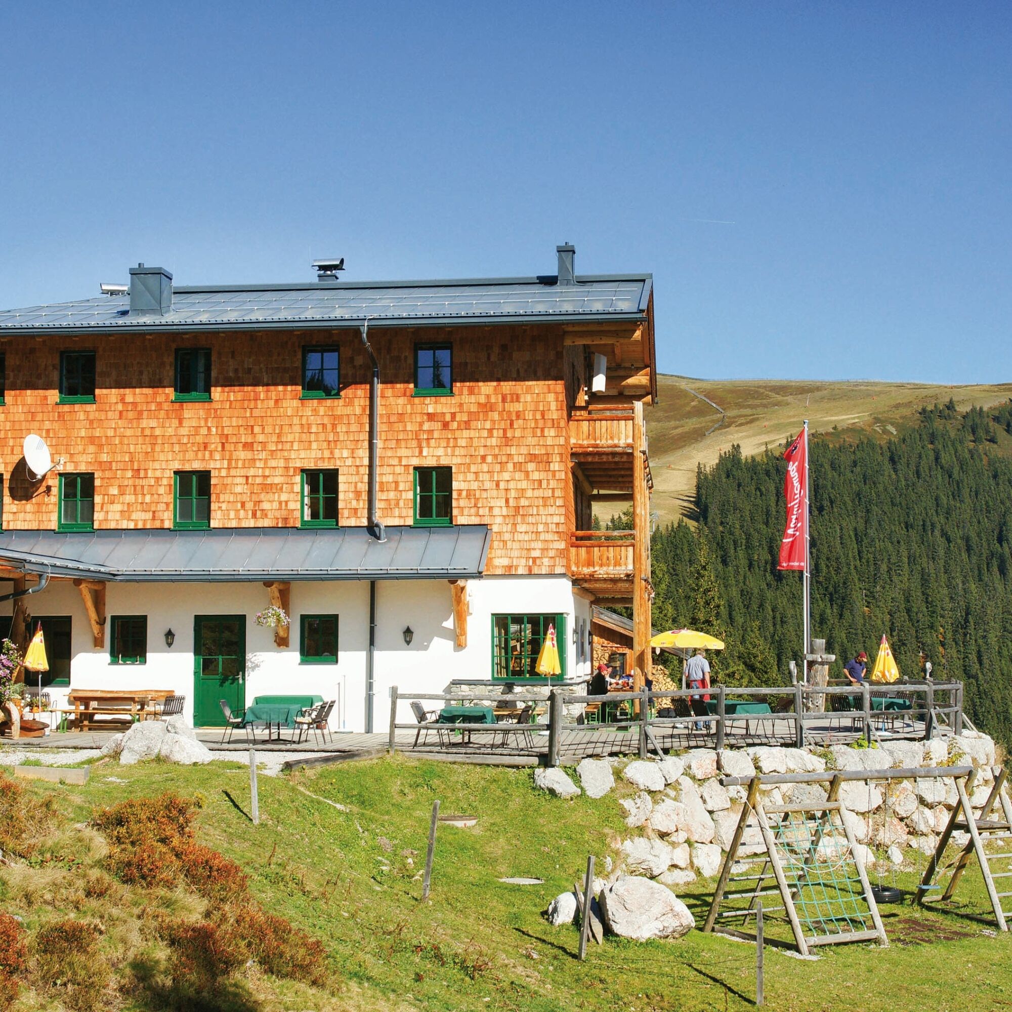
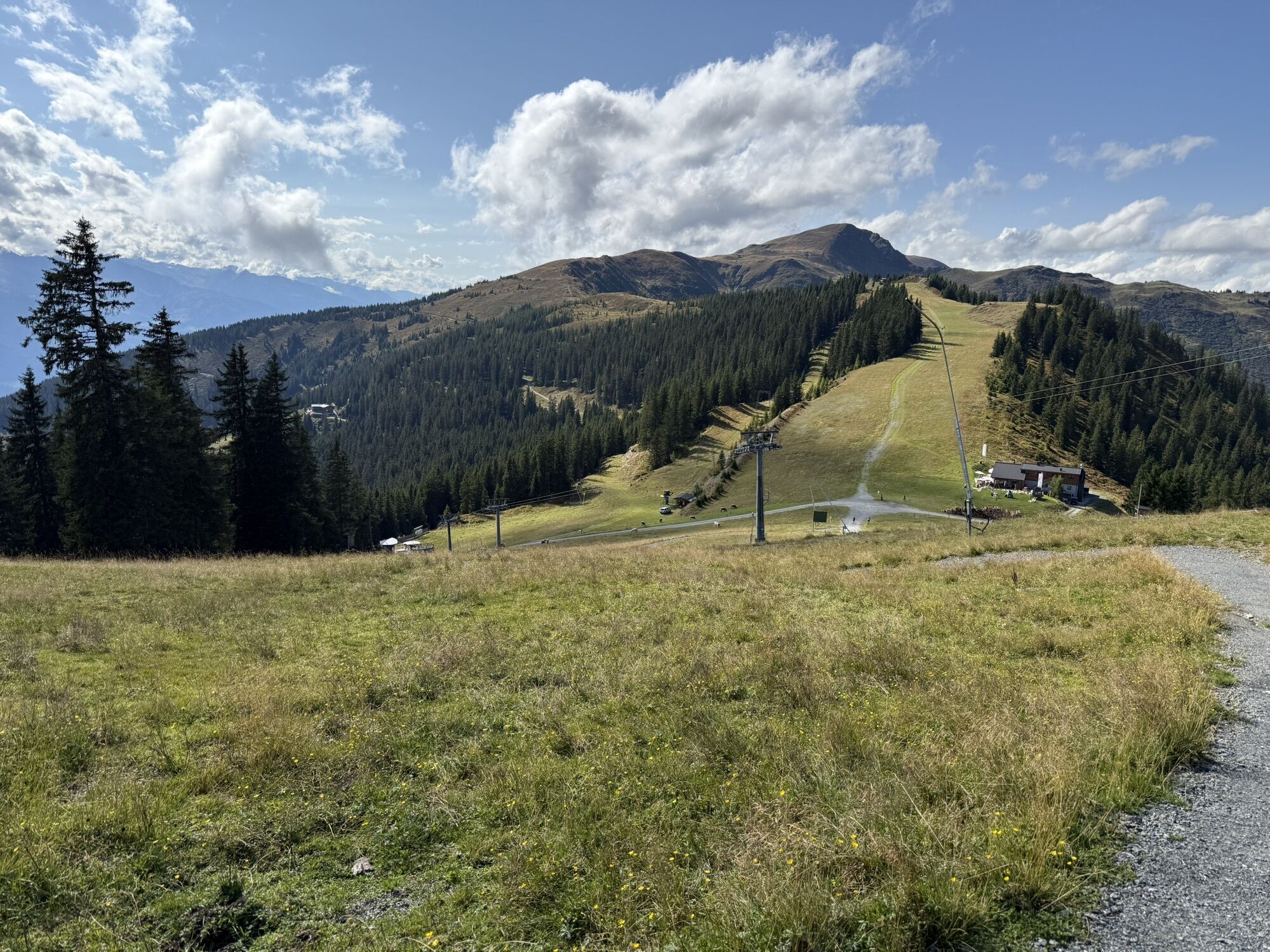
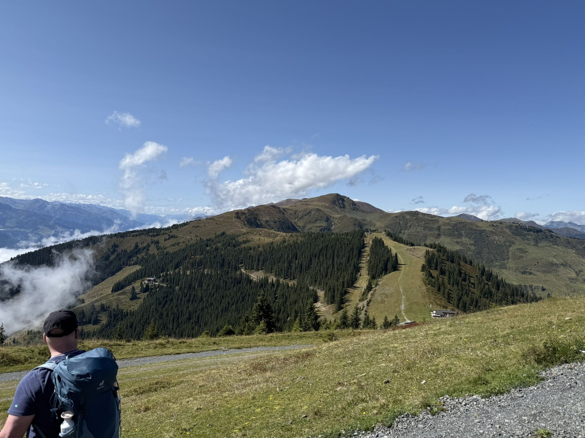
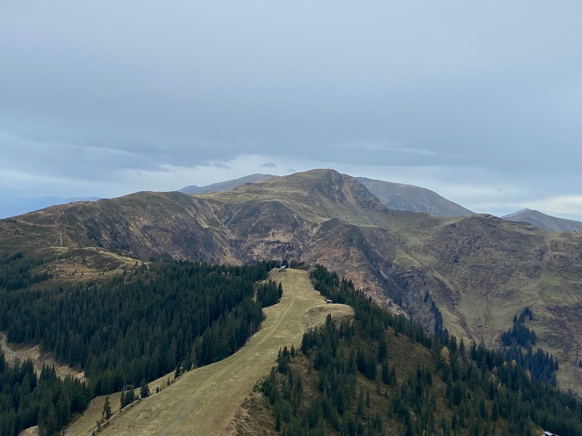
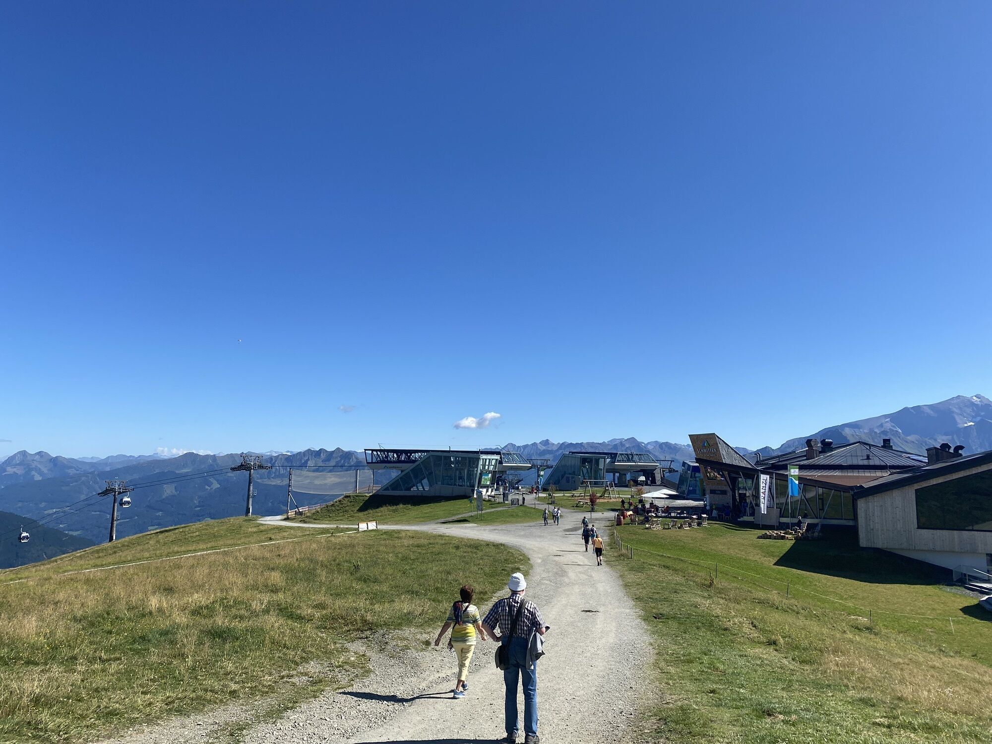
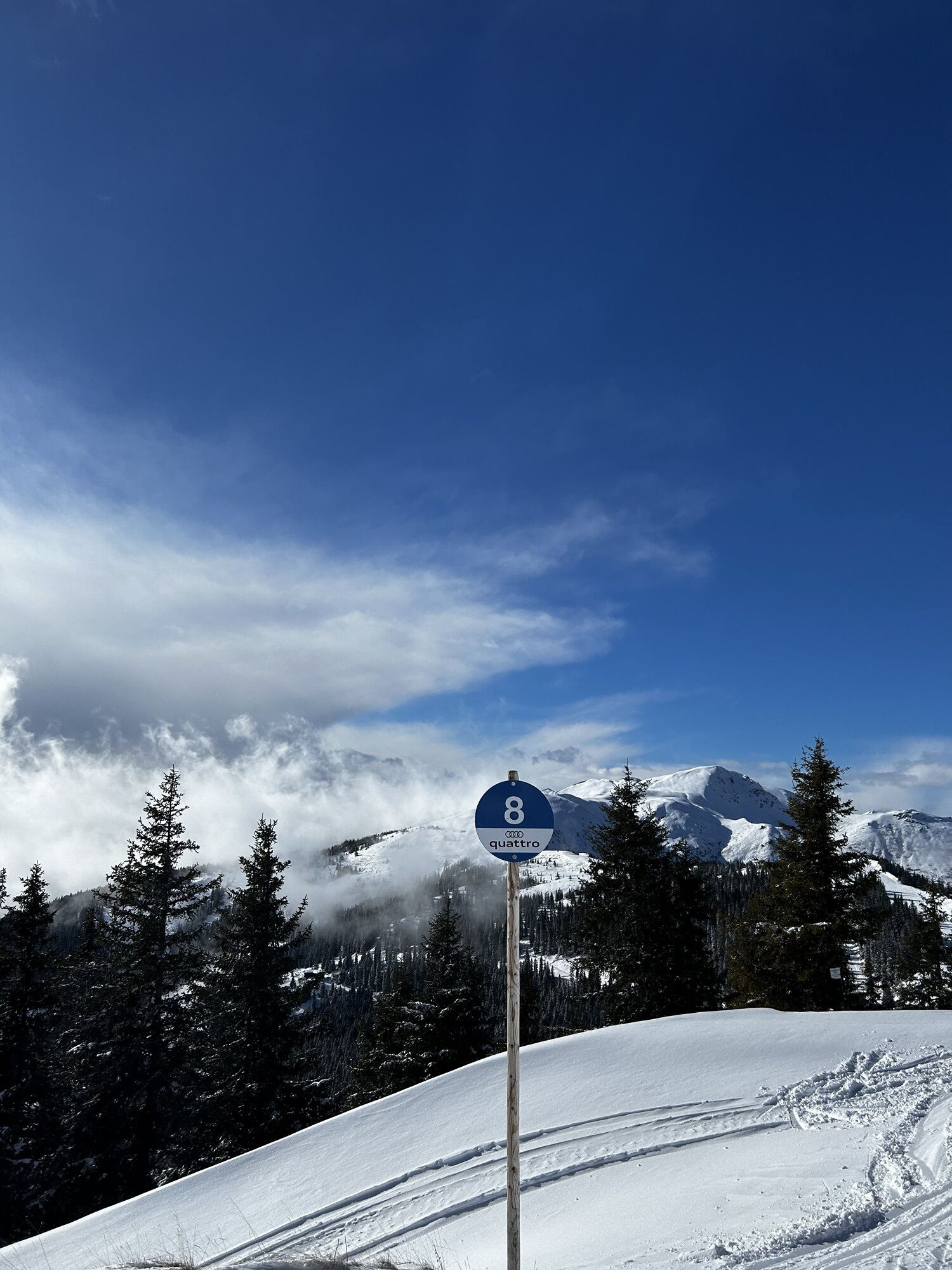
After ascending with the Schmittenhöhebahn or trassXpress, follow the signs for "Pinzgauer Spaziergang", trail no. 19, westwards via Kettingkopf and Kesselscharte to Rohrertörl. From there, return towards Schmittenhöhe, first via trail no. 719 to Hochsonnbergalm, then via trail no. 1A to Pinzgauer Hütte. Finally, the hike leads back via trail no. 719 to the mountain station.
Tak
Tak
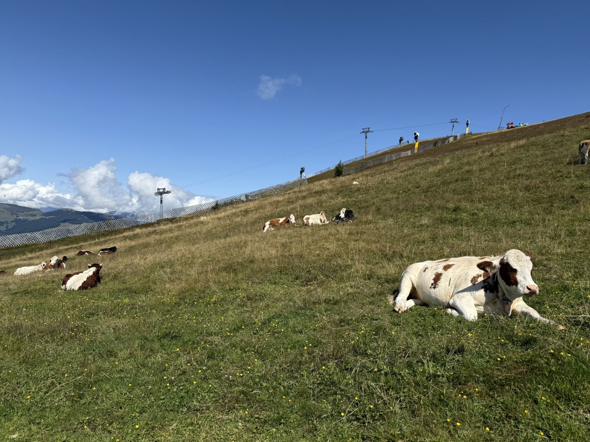
Ankle-high mountain boots, drinks, provisions, backpack, rain protection, mobile phone
Dear nature lovers!
We hope that the snack and drinks you take on your hike give you the strength to carry the packaging material and empty cans and bottles back with you.
We ask you to observe the Fair Play & Code of Conduct!
Note: Leash obligation applies in Piesendorf and Niedernsill!
Fairness and mutual consideration form the basis for living together and preserving the diverse interests of the natural environment!
Adequate parking available at the valley station of the trassXpress and Schmittenhöhebahn!
Kamery internetowe z trasy


Popularne wycieczki w okolicy
-
4,3
Schwalbenwand Nr. 80, 81, 82
średniWędrówka 13,0 km -
4,8
Sigmund Thun Klamm, Klammsee, Bürgkogel
światłoWędrówka 4,56 km -
4,0
Maurerkogel (Top)
Wędrówka 10,5 km -
4,9
Hochsonnberg Runde
średniMountainbike 59,8 km -
4,5
Thumersbach, Runde um den Zeller See
światłoWędrówka 13,3 km -
4,4
Sigmund Thun Klamm
światłoWędrówka 3,10 km -
4,6
Lettlkaser
średniWędrówka 4,40 km -
4,0
Berg der Sinne
światłoWędrówka 4,39 km -
4,2
Hundstein-Runde von Maria Alm
ciężkiMountainbike 44,4 km -
5,0
Panorama route 3 peaks and 2 lakes
średniWędrówka 7,21 km
Wędrówki i tropienie


Nie przegap ofert i inspiracji na następne wakacje
Twój adres e-mail została dodana do listy mailingowej.