






Mittersill: Raised bog Wasenmoos path no. 77
Poziom trudności: T1
Zdjęcia naszych użytkowników
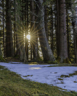
 © Željko BrčinaUtworzono dnia 25.02.2026
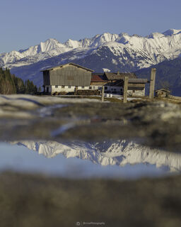 © Željko BrčinaUtworzono dnia 25.02.2026
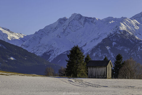 © Željko BrčinaUtworzono dnia 25.02.2026
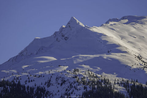 © Željko BrčinaUtworzono dnia 25.02.2026
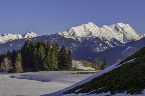 © Željko BrčinaUtworzono dnia 25.02.2026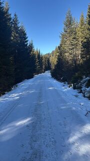
 © Cedric JetterUtworzono dnia 26.12.2025
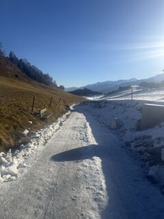 © Cedric JetterUtworzono dnia 26.12.2025
 © Erich Fornetran 1Utworzono dnia 29.12.2024
 © Chnorli-FurzUtworzono dnia 10.02.2022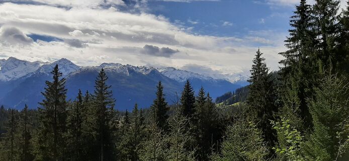
 © Hans van NuenenUtworzono dnia 28.09.2022
 © Hans van NuenenUtworzono dnia 28.09.2022
 © Hans van NuenenUtworzono dnia 28.09.2022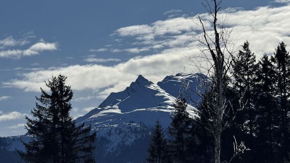
 © Fabian KeimUtworzono dnia 31.01.2026
 © Fabian KeimUtworzono dnia 31.01.2026
 © Fabian KeimUtworzono dnia 31.01.2026
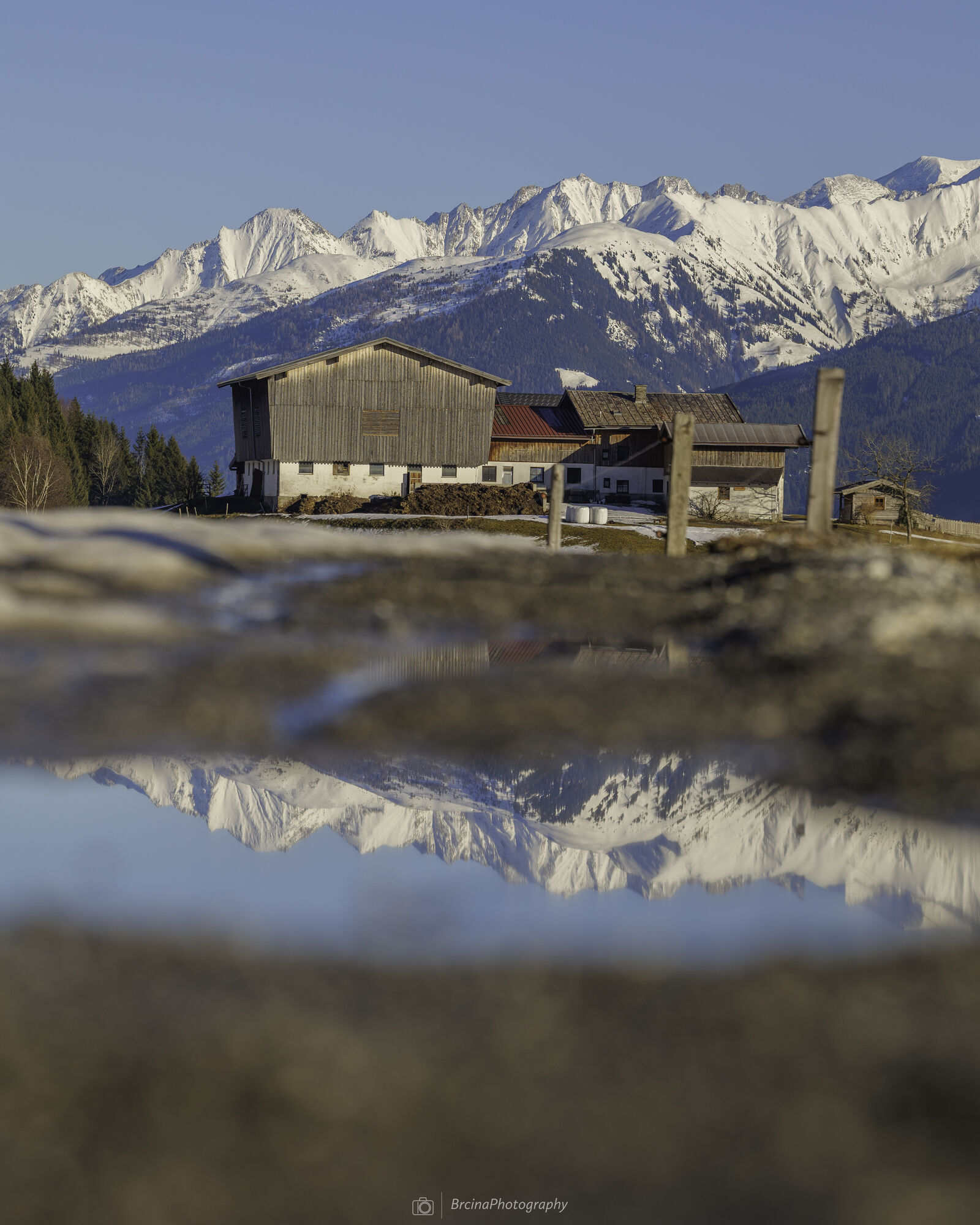
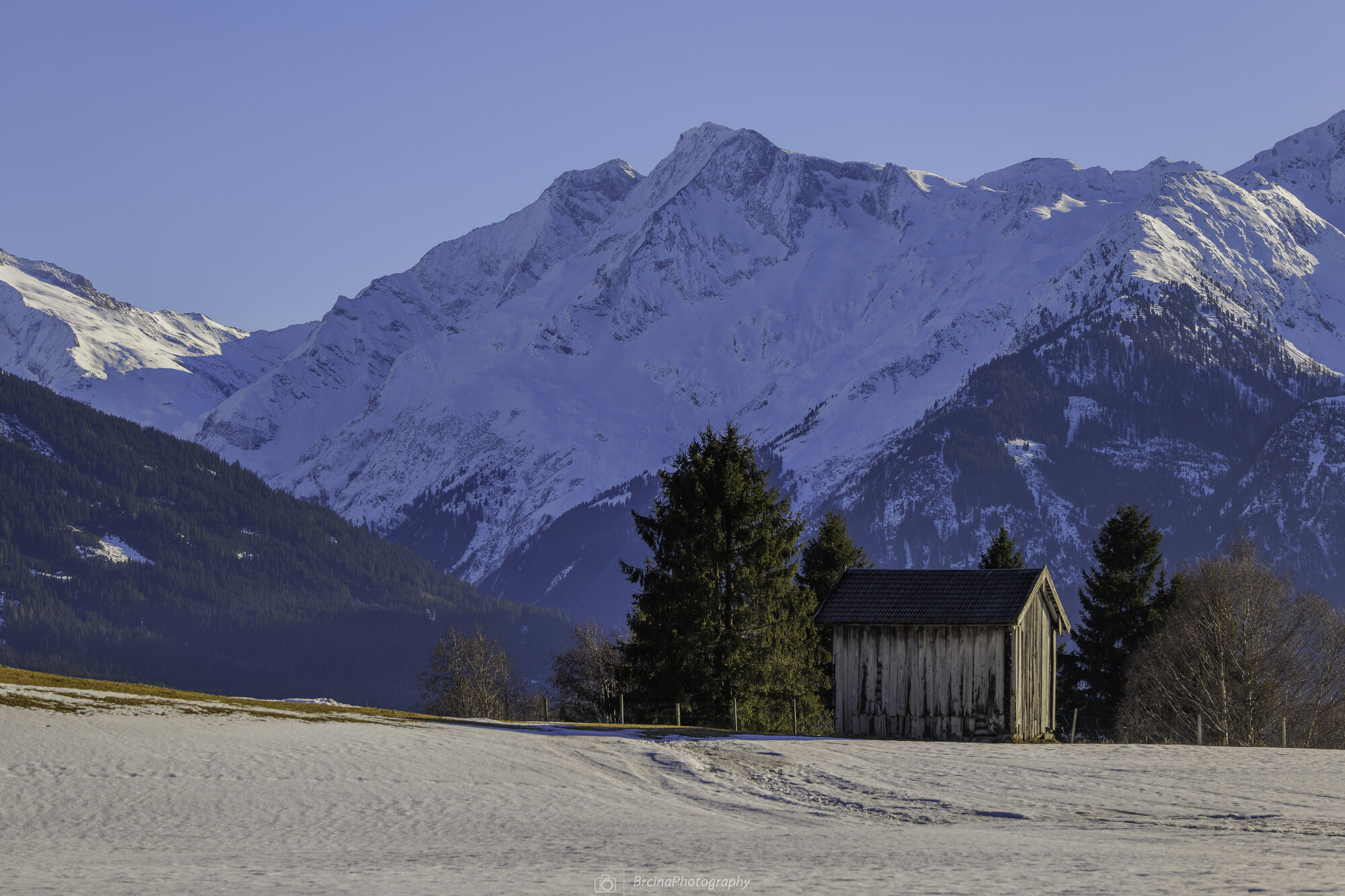
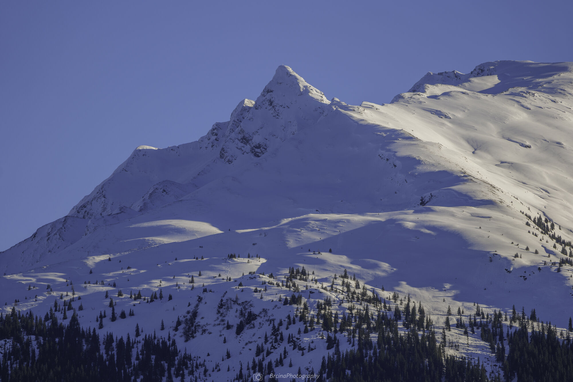
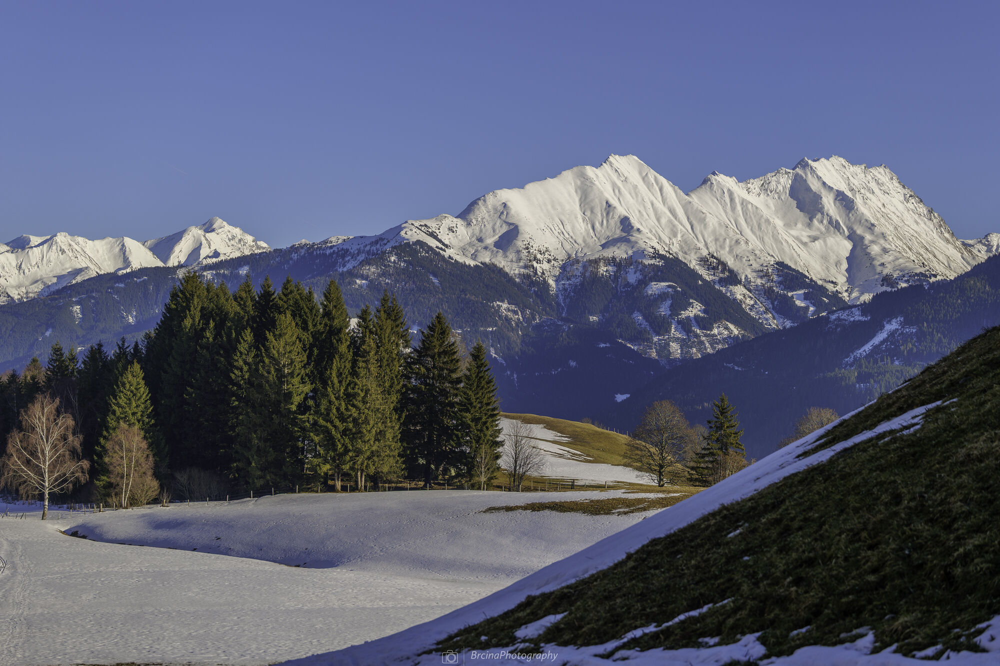
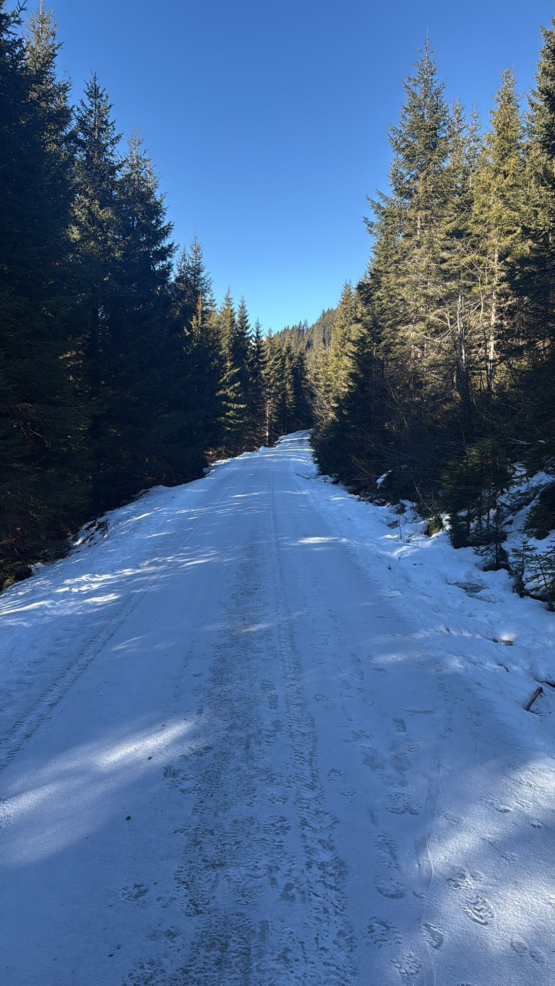
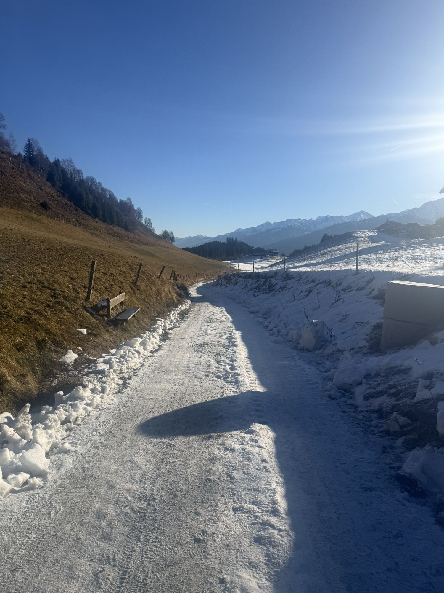
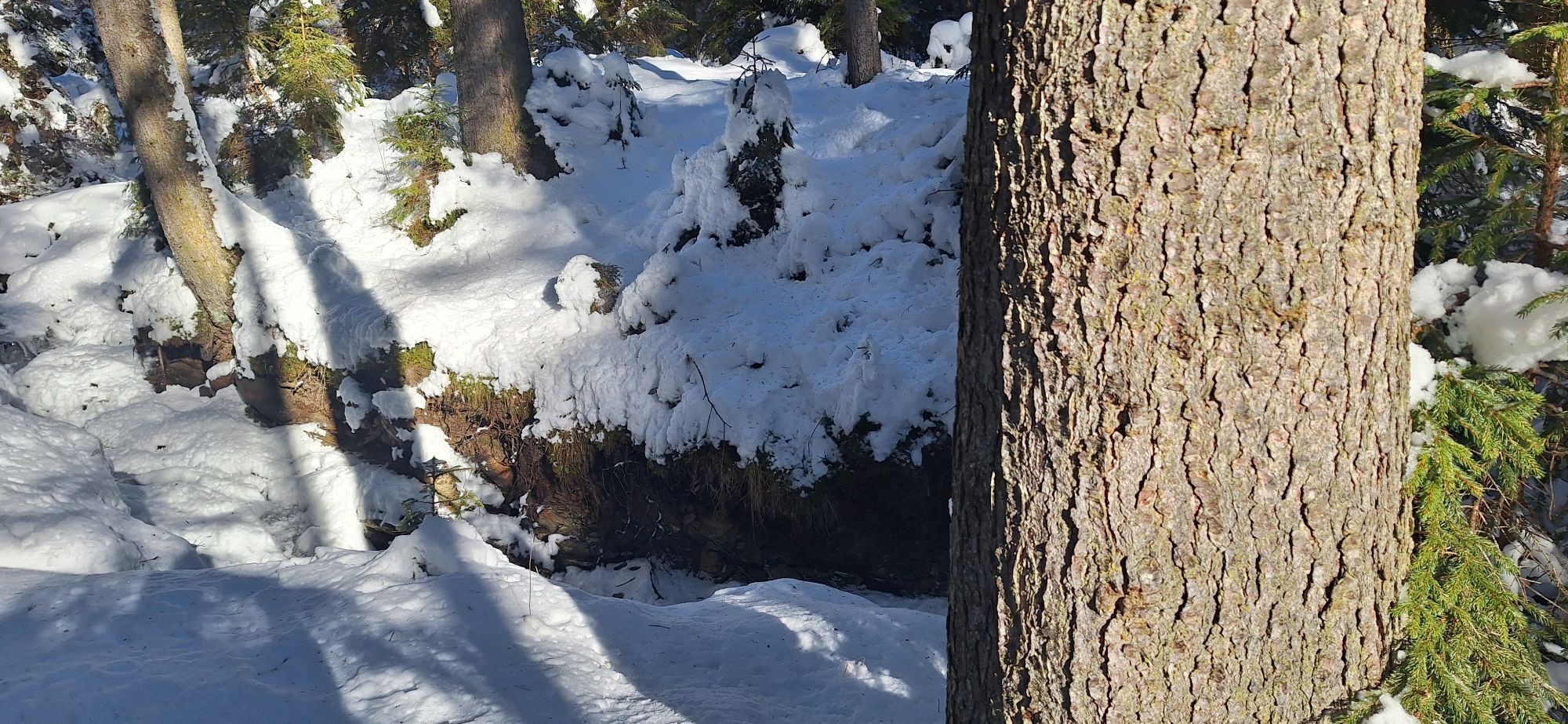
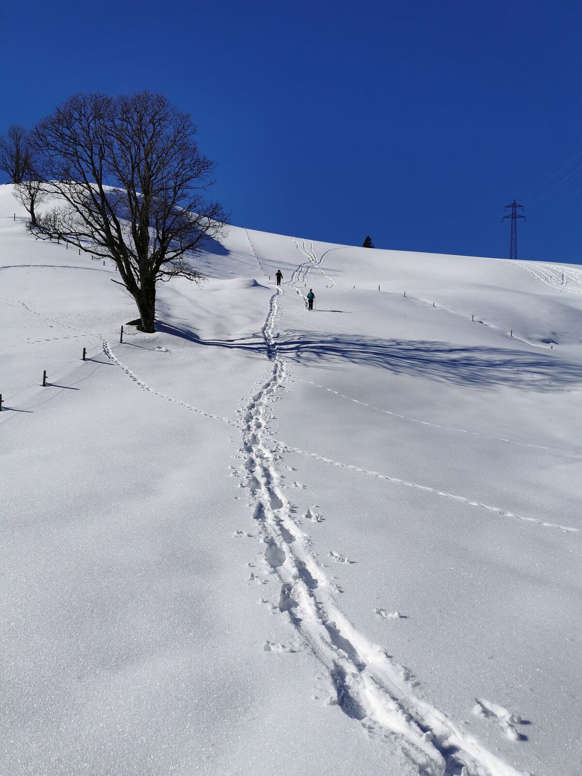
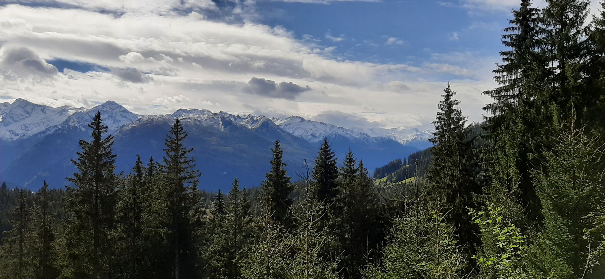
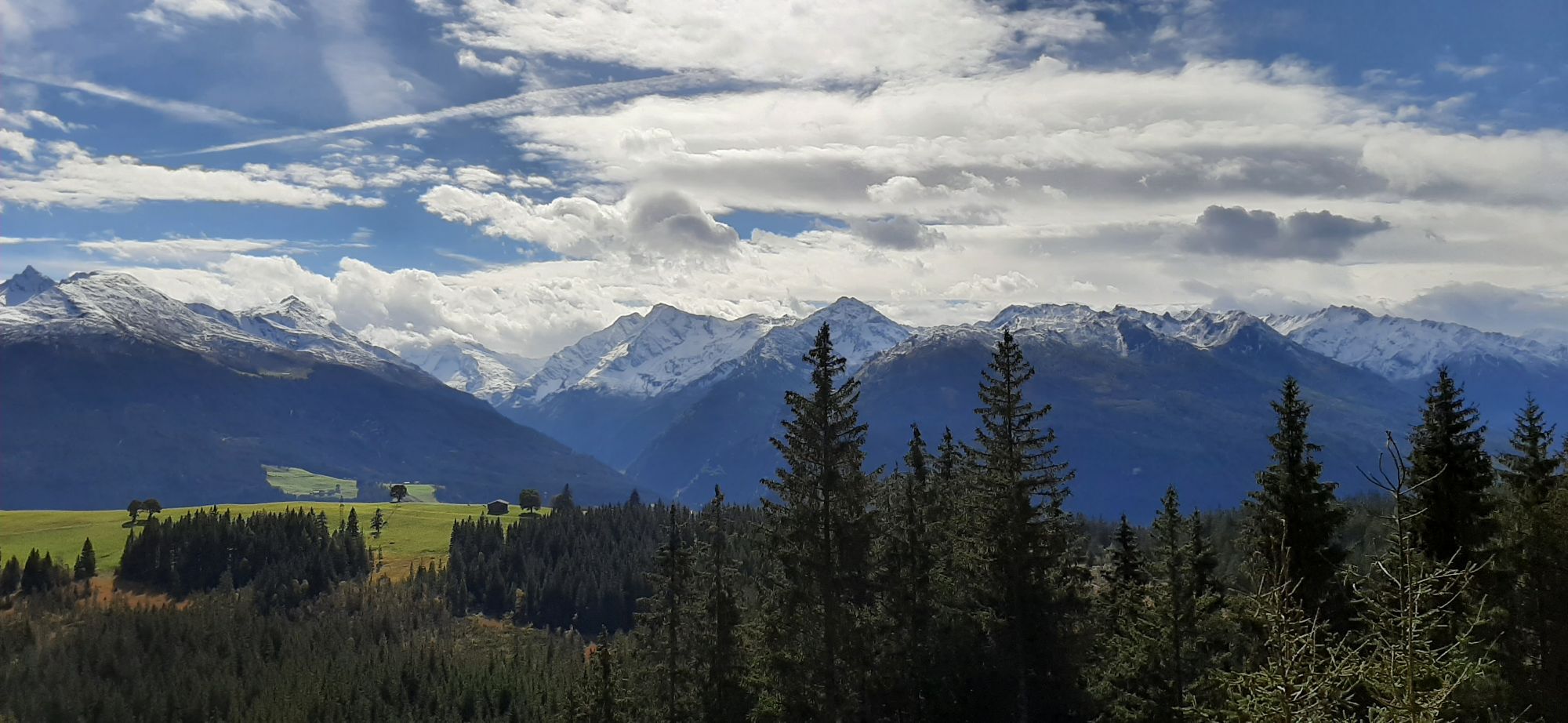
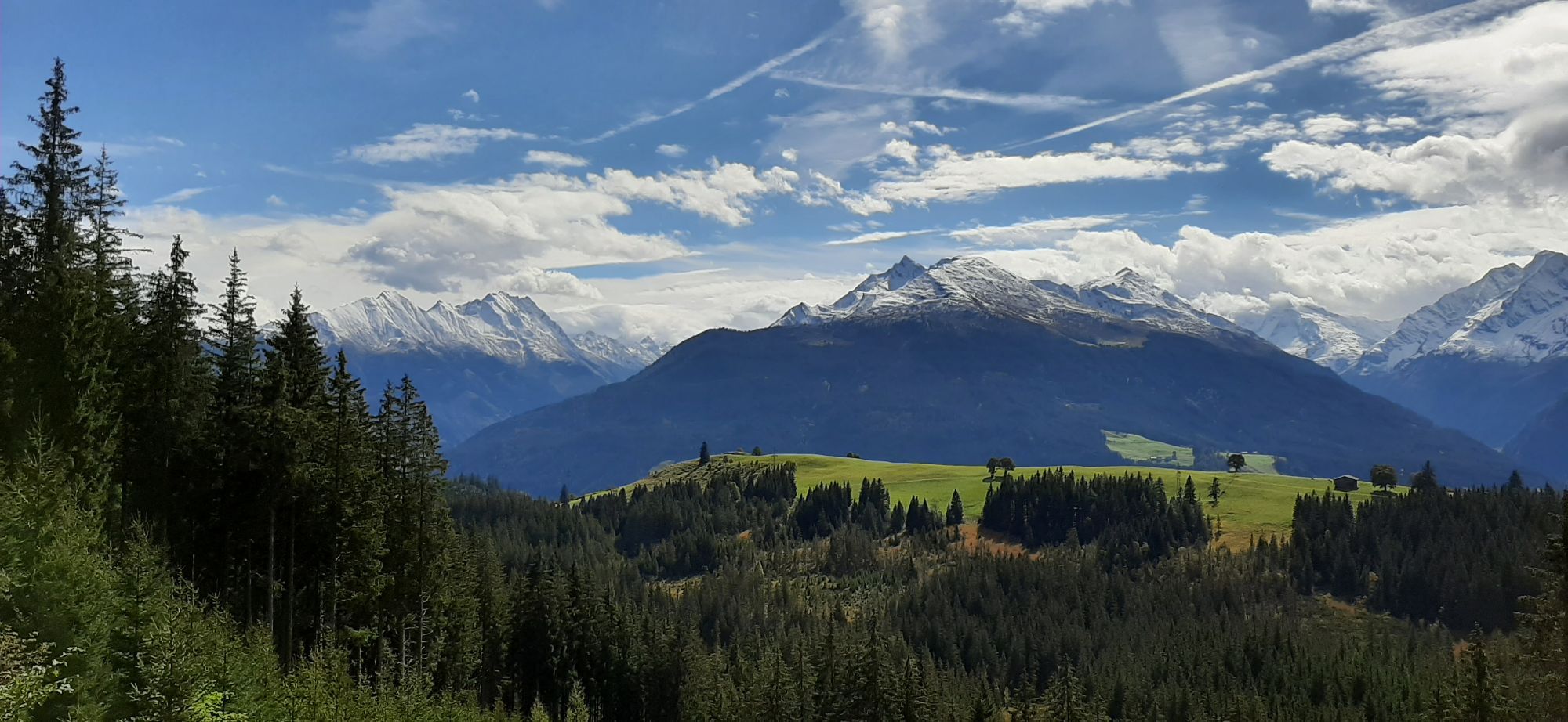
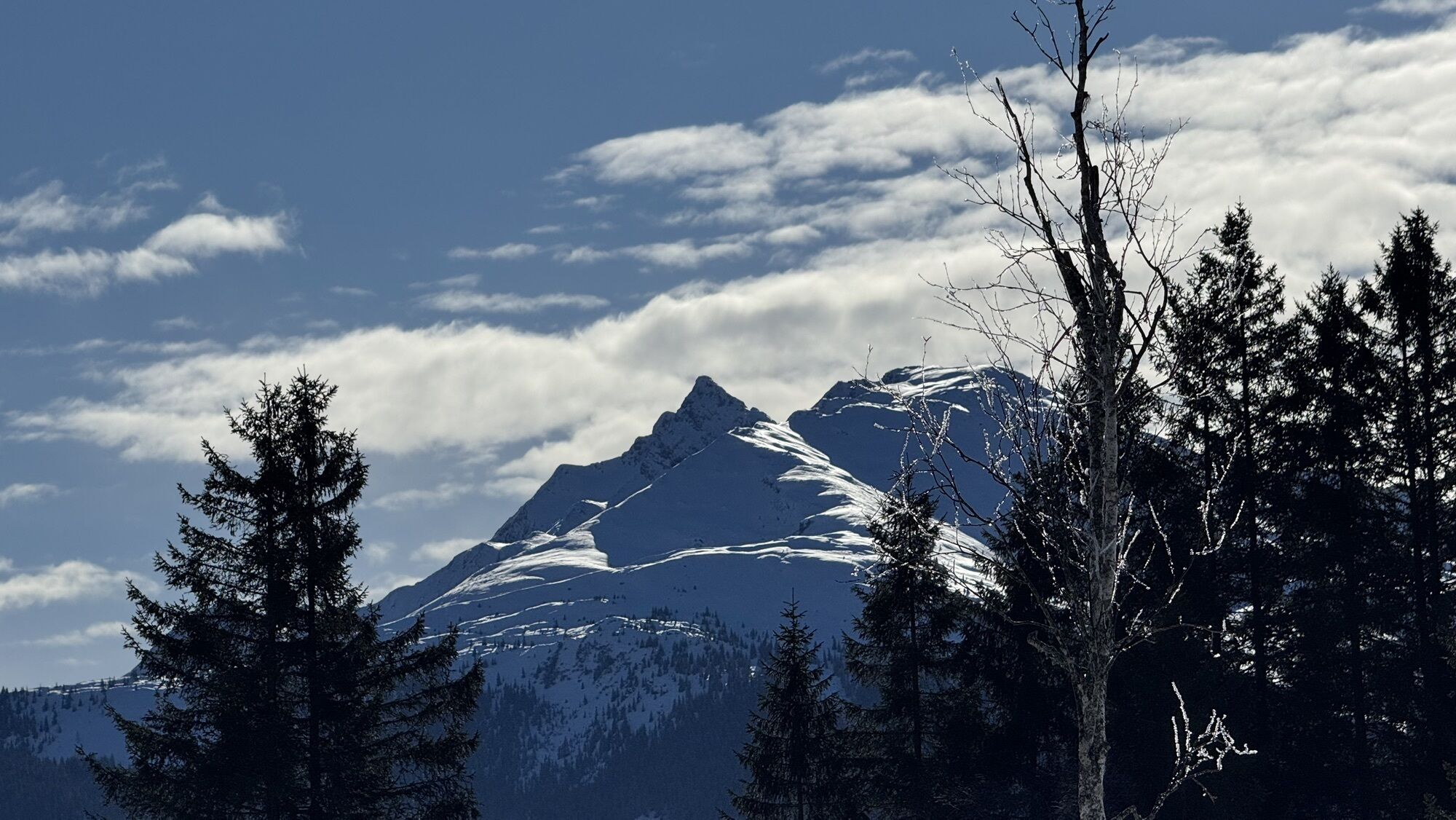
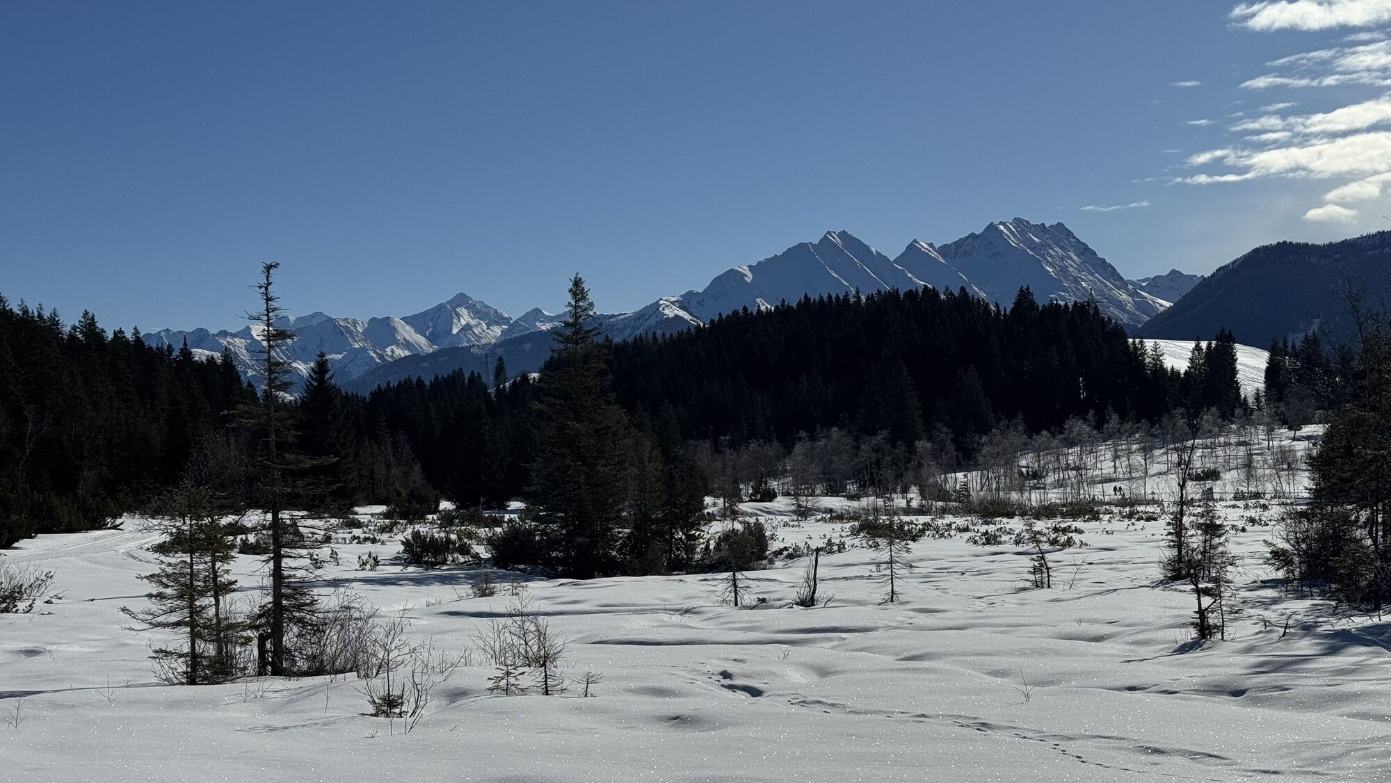
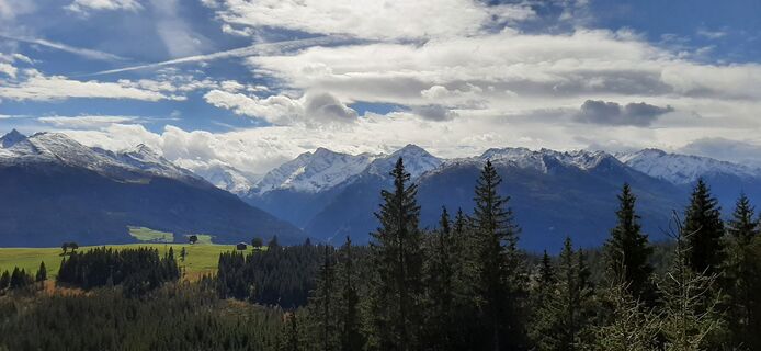
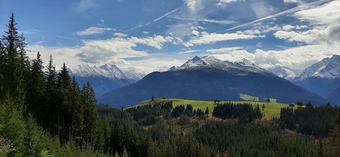
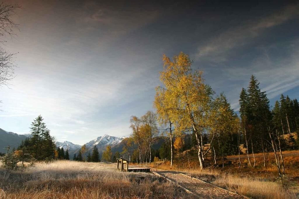
In front of the magnificent backdrop of the Hohe Tauern, the moor group lies at an altitude between 1200 and 1500 m, embedded in the Salzburg Slate Alps. The occurrence of different moor types, closely...
In front of the magnificent backdrop of the Hohe Tauern, the moor group lies at an altitude between 1200 and 1500 m, embedded in the Salzburg Slate Alps. The occurrence of different moor types, closely intertwined with alder swamp forests and the surrounding blueberry-spruce forests, results in the coexistence of numerous different habitats. Although partly affected by human interventions such as a former peat cutting or the construction of numerous drainage ditches, the approximately 180-hectare area hosts an impressive diversity of animal and plant species. The term "Moos" refers to moors with a high peat moss content, while "Wasen" denotes both a patch of grass and a peat block. (Source: Brochure Moor Landscape at Pass Thurn, Naturfreunde Internationale, 2008, 2nd edition)

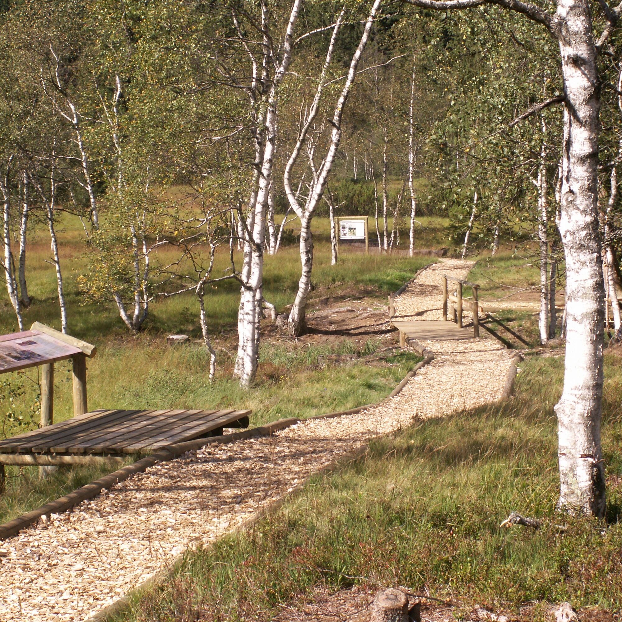
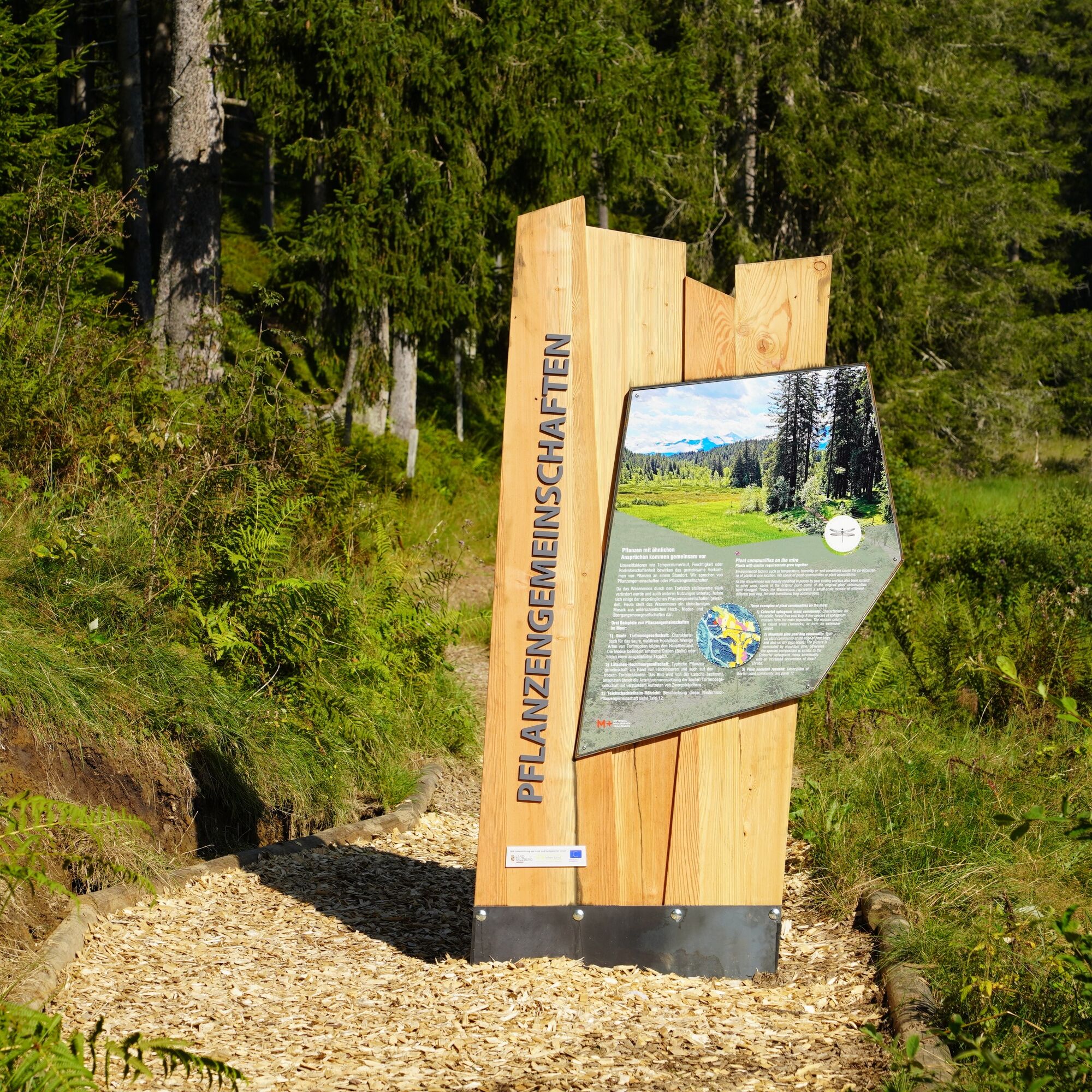
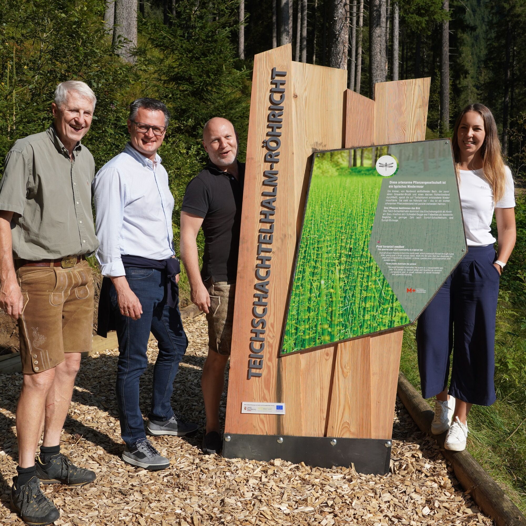
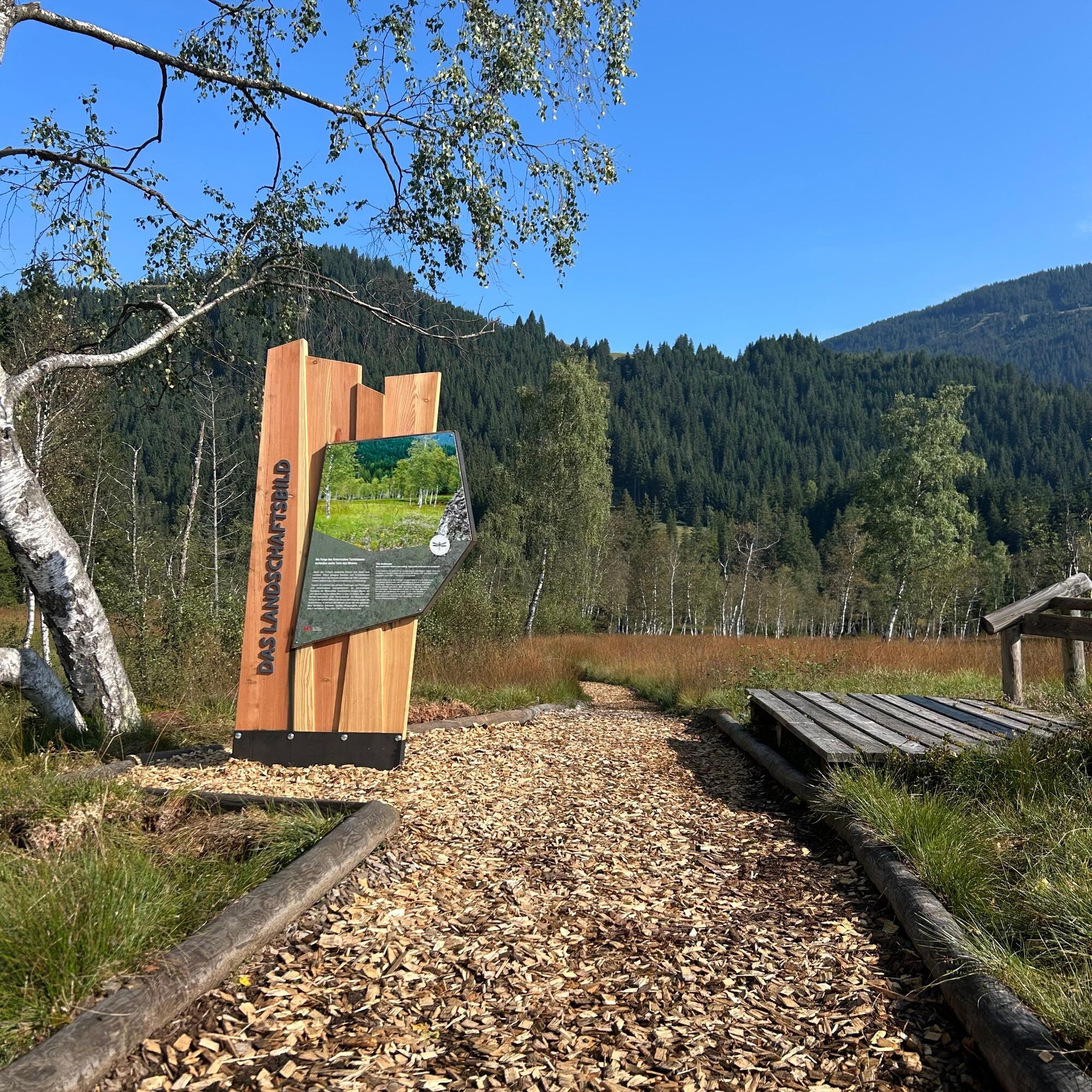

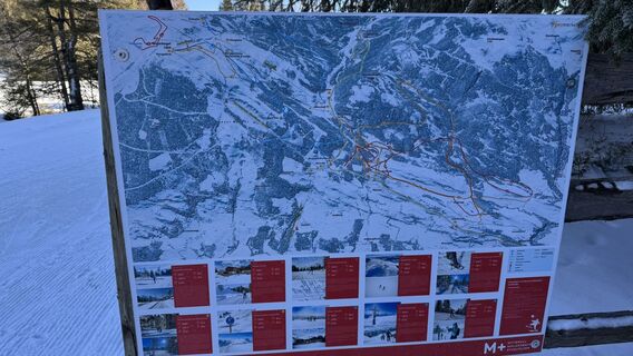
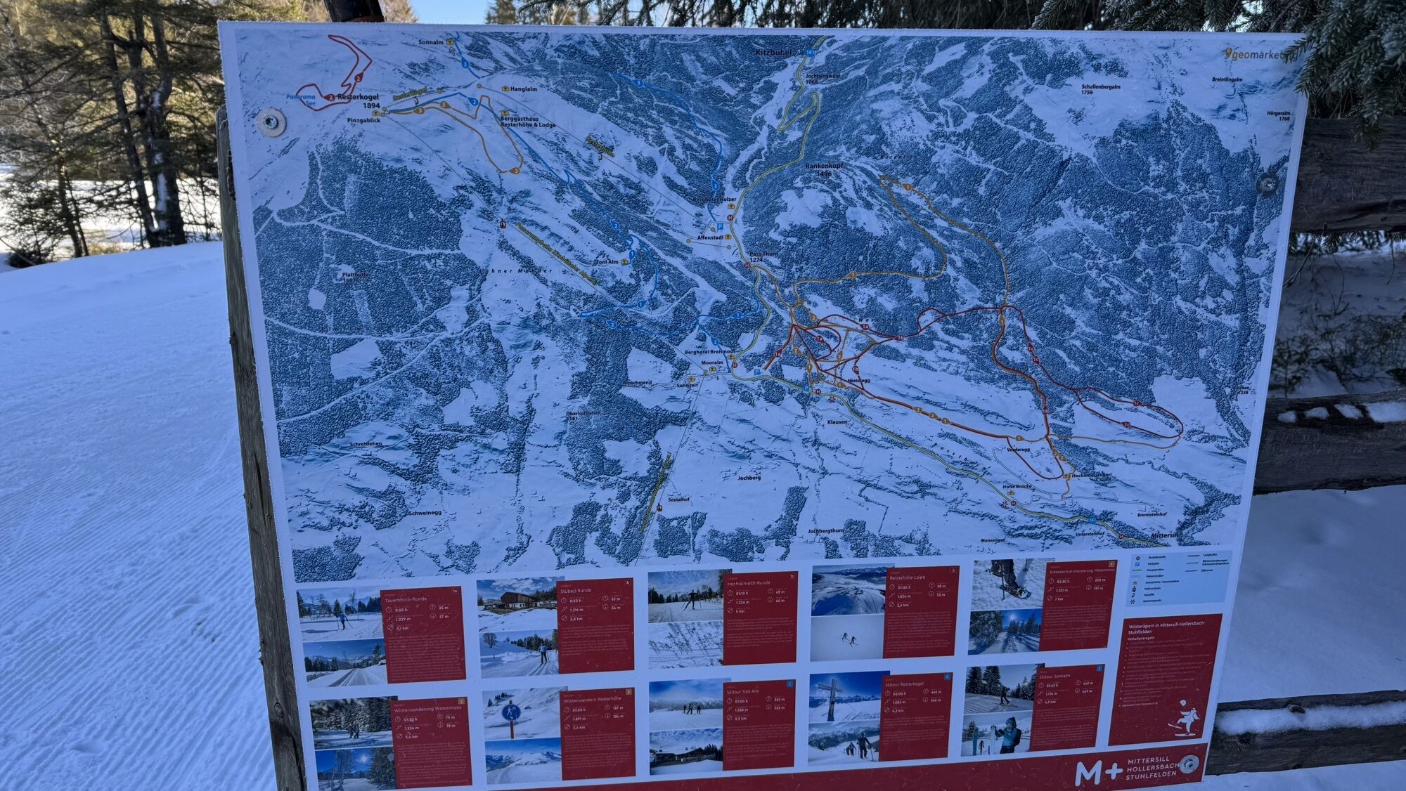
Starting from the parking lot, there are various routes through and around the moor with path numbers 71, 77, 77D. The best-known circular route at the raised bog is the Bärenfilzrunde with path number 77. The route begins at the viewing pavilion and you hike on the wood chip path through the beautiful landscape of the Wasenmoos. At the end of the wood chip path, you reach a forest road. Here, keep right following the road uphill. After a few altitude meters, the road splits and you always keep right, staying on the hiking trail number 77. At the next two junctions, always keep right. After a good downhill section, the forest opens and you reach a stream, where body & mind enjoy the cool refreshment. Then turn right and continue hiking on a gravel road with path number 702 A to the viewing pavilion.
Tak
Tak
Tak
Light hiking shoe, drinking water & snack, hiking map.
A basic level of sure-footedness is required!
Starting from Mittersill, drive along Pass Thurn road to the parking lot.
The Mittersill-Hollersbach-Stuhlfelden region is very well accessible by Pinzgau local railway and ÖBB buses.
The easiest way to get there is by regional bus 4010 from Mittersill to the Tauernblick stop.
Timetable information and download: online at https://salzburg-verkehr.at/ or on your smartphone via the free SalzburgVerkehr app for Android and iOS.
There is a paid parking lot (card payment only) as well as a free parking lot opposite.
T1
Mittersill Plus GmbH, Zeller Straße 2, 5730 Mittersill, Tel. +43(0) 6562 4292
welcome@mittersill.info, www.mittersill.info
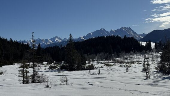
The viewing pavilion at the Wasenmoos raised bog offers a breathtaking view of the Hohe Tauern!

 Uzyskaj wgląd Zawsze na żywo z ponad 9 500 kamer internetowych. bergfex Jako użytkownik Pro, możesz teraz zobaczyć odpowiednie kamery internetowe dla wielu wycieczek w aplikacji wycieczki od. Pozwala to na bezpośredni podgląd aktualnych warunków.
Popularne wycieczki w okolicy
- 3,7
Smaragdwanderweg Habachtal/Bramberg
światłoWędrówka 7,17 km - 4,9
Streif Wanderweg
średniWędrówka 5,73 km - 3,8
Mittersill - Hintersee und Plattachsee
ciężkiWędrówka 9,90 km - 4,7
Tristkogel
ciężkiWędrówka 15,6 km - 4,7
Hollersbach - Neue Fürther Hütte
Wędrówka 16,0 km - 4,7
Frühmesser
średniWędrówka 10,6 km - 3,8
Hollersbach: Pihapper Wegnr. 935
ciężkiWędrówka 12,8 km - 4,9
Manlitzkogel
ciężkiWędrówka 13,4 km - 4,0
Mittersill: ski tour Sonnalm
średniWycieczka narciarska 4,87 km - 4,1
Via the Schösswendklamm to Hintersee
średniWędrówka 8,29 km
Wędrówki i tropienie


Nie przegap ofert i inspiracji na następne wakacje
Twój adres e-mail została dodana do listy mailingowej.





