


Saalachtal high trail WEST
Poziom trudności: T2
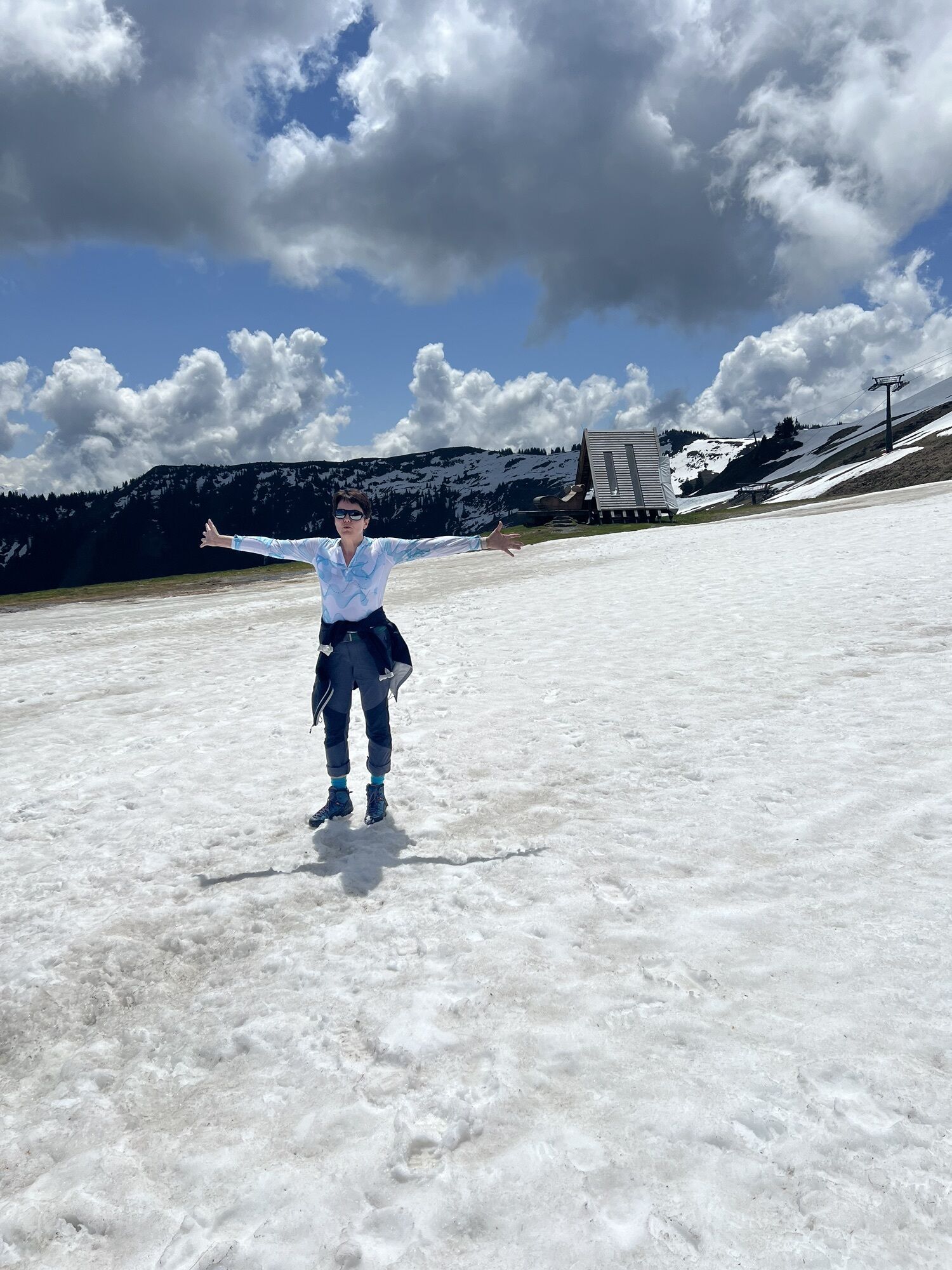
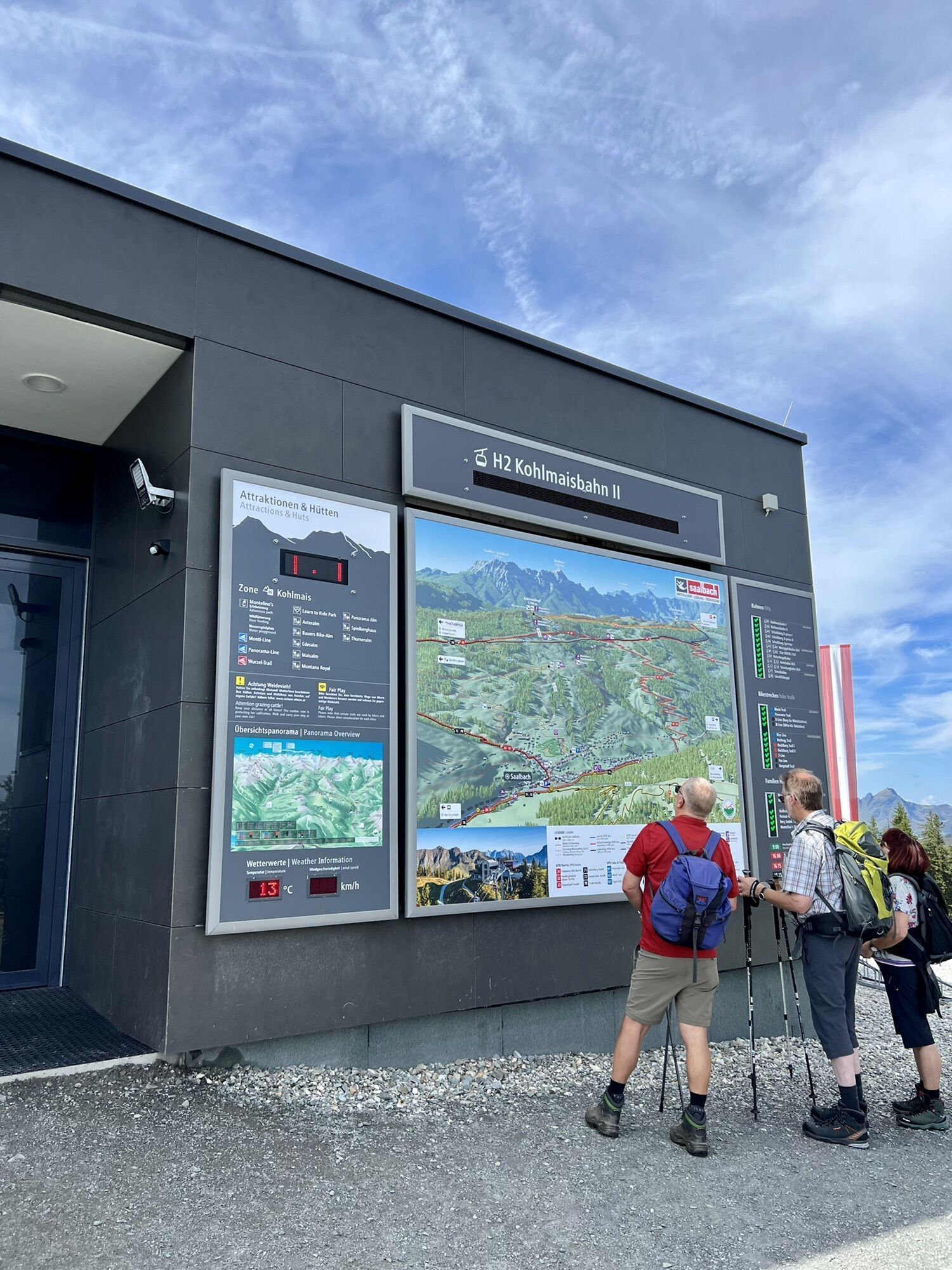
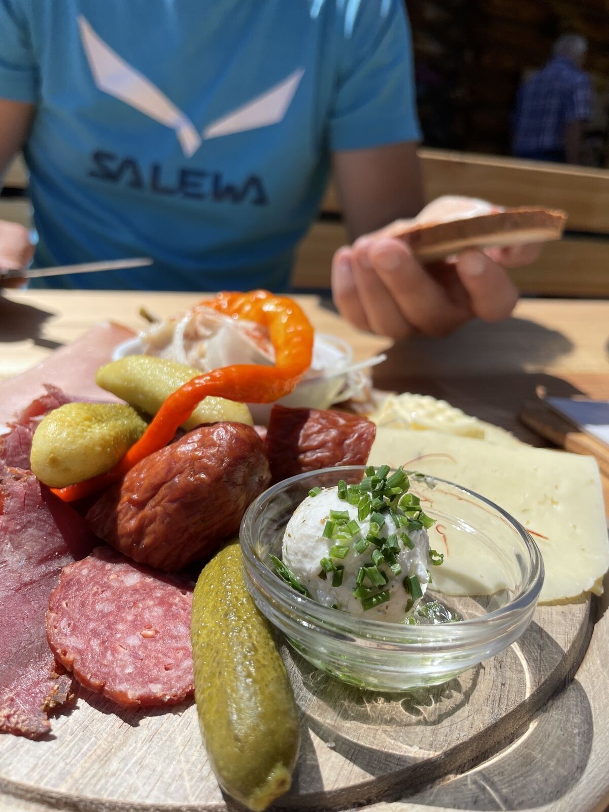
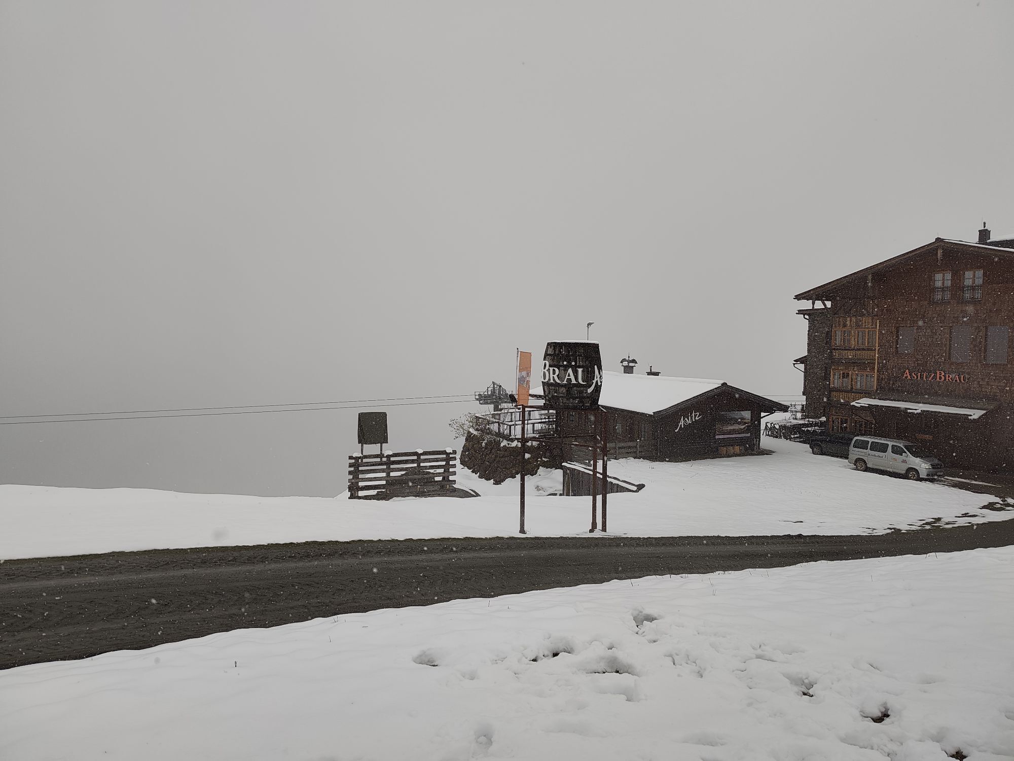
Zdjęcia naszych użytkowników
 © firebird 93Utworzono dnia 28.09.2023
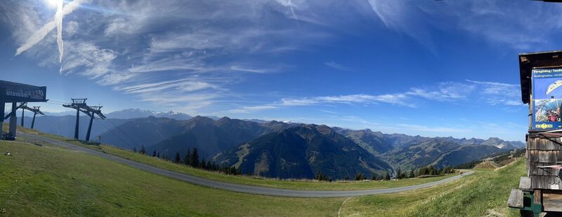 © firebird 93Utworzono dnia 28.09.2023
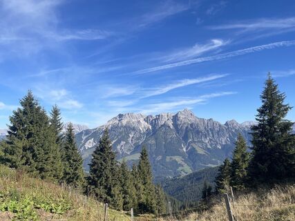 © firebird 93Utworzono dnia 28.09.2023
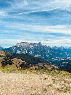
 © Andreas AufschnaiterUtworzono dnia 05.09.2022
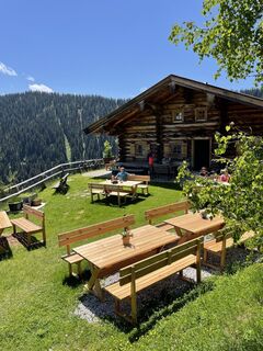
 © Markus RadlgruberUtworzono dnia 04.06.2022
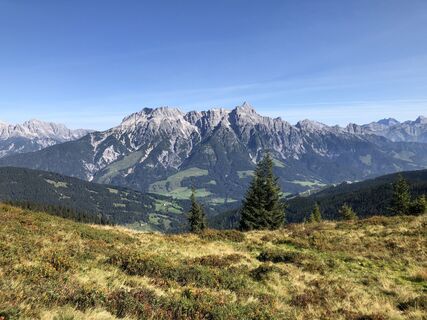
 © Bernd EttingerUtworzono dnia 14.09.2020
 © Wolfgang SimhoferUtworzono dnia 25.10.2025
 © Wolfgang SimhoferUtworzono dnia 25.10.2025
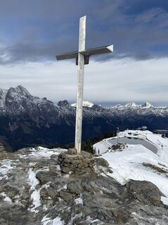 © Wolfgang SimhoferUtworzono dnia 25.10.2025
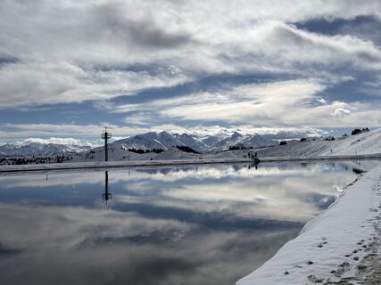 © Wolfgang SimhoferUtworzono dnia 25.10.2025
 © MiriamhaferkampUtworzono dnia 21.08.2025
 © Werner RupprechtUtworzono dnia 09.08.2025
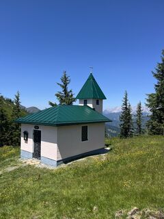 © Peter GerdemannUtworzono dnia 25.06.2025
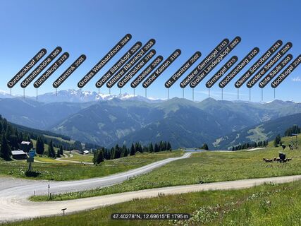 © Peter GerdemannUtworzono dnia 25.06.2025
 © Peter GerdemannUtworzono dnia 25.06.2025
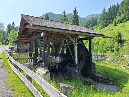
 © Hermann E.Utworzono dnia 09.06.2025
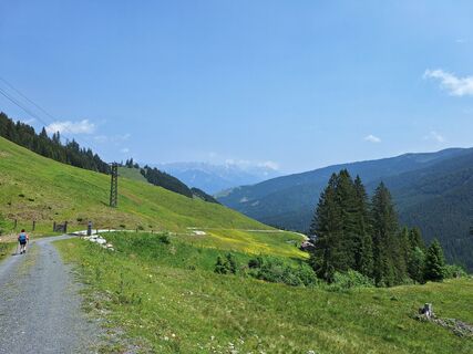 © Hermann E.Utworzono dnia 09.06.2025
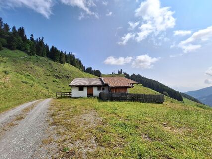 © Hermann E.Utworzono dnia 09.06.2025
 © Oliver BarzUtworzono dnia 09.10.2024
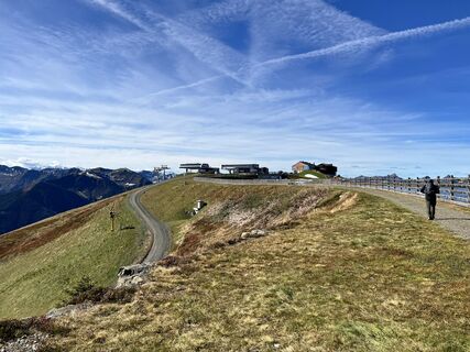 © Oliver BarzUtworzono dnia 09.10.2024
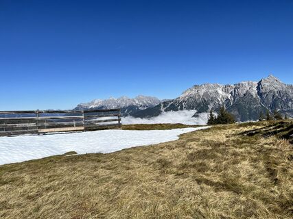 © Oliver BarzUtworzono dnia 09.10.2024
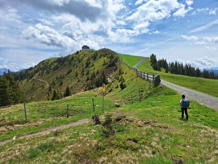 © Hermann E.Utworzono dnia 08.06.2024
 © Hermann E.Utworzono dnia 08.06.2024
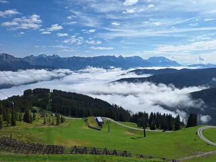 © Hermann E.Utworzono dnia 08.06.2024
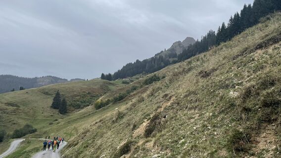
 © Simon ZelderUtworzono dnia 08.10.2023
 © Babsi-Elias-Sophie-MaxUtworzono dnia 07.08.2025
 © juliphiUtworzono dnia 30.08.2024
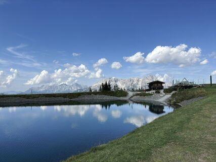 © juliphiUtworzono dnia 30.08.2024
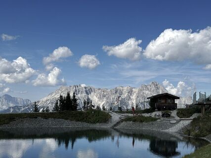 © juliphiUtworzono dnia 30.08.2024
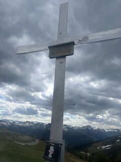
 © Zoran DujakovicUtworzono dnia 18.05.2024
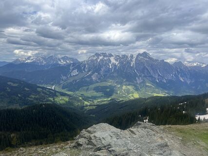 © Zoran DujakovicUtworzono dnia 18.05.2024
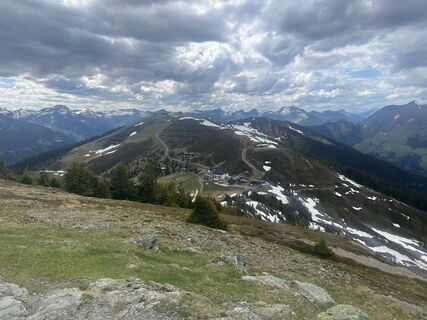 © Zoran DujakovicUtworzono dnia 18.05.2024
 © firebird 93Utworzono dnia 28.09.2023
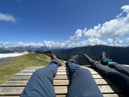
 © Bernhard DewitzUtworzono dnia 25.05.2023
 © Bernhard DewitzUtworzono dnia 25.05.2023
 © Bernhard DewitzUtworzono dnia 25.05.2023
 © Bernhard DewitzUtworzono dnia 25.05.2023
 © Andreas AufschnaiterUtworzono dnia 05.09.2022
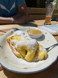 © Markus RadlgruberUtworzono dnia 04.06.2022
 © Markus RadlgruberUtworzono dnia 04.06.2022
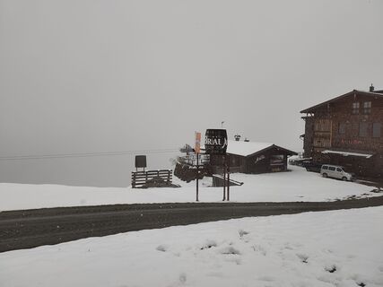
 © Wurz81Utworzono dnia 15.05.2026
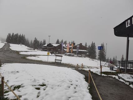 © Wurz81Utworzono dnia 15.05.2026
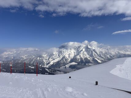 © Jan GörgelUtworzono dnia 03.04.2026
 © Stefan RibischUtworzono dnia 22.03.2026
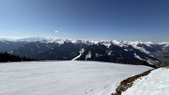 © Stefan RibischUtworzono dnia 22.03.2026
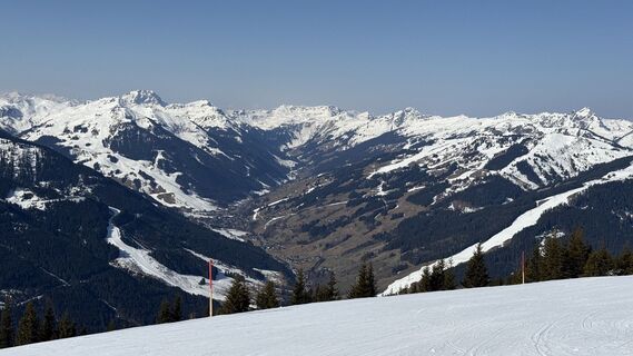 © Stefan RibischUtworzono dnia 22.03.2026
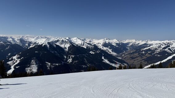 © Stefan RibischUtworzono dnia 22.03.2026
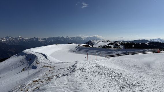 © Stefan RibischUtworzono dnia 22.03.2026
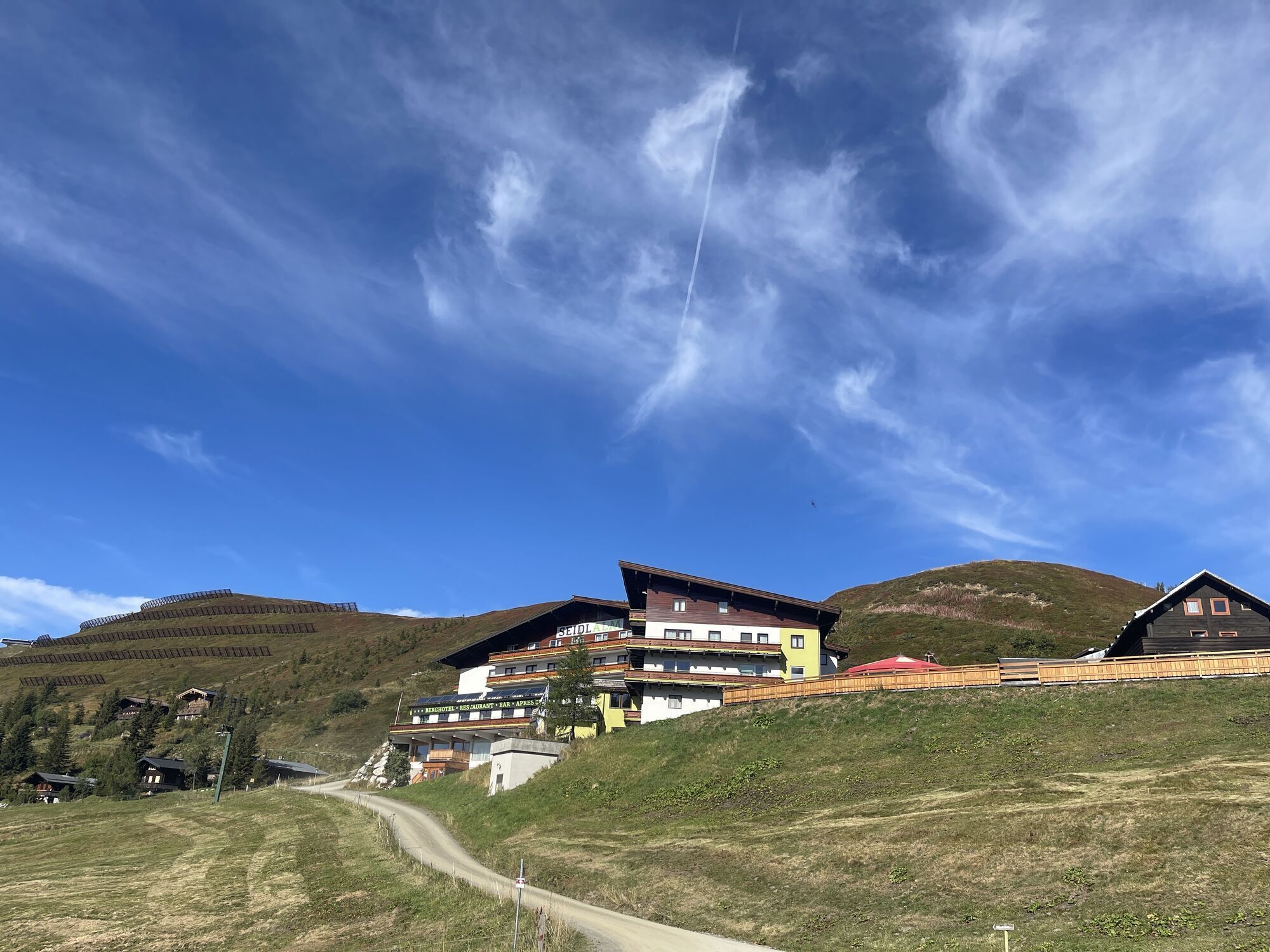


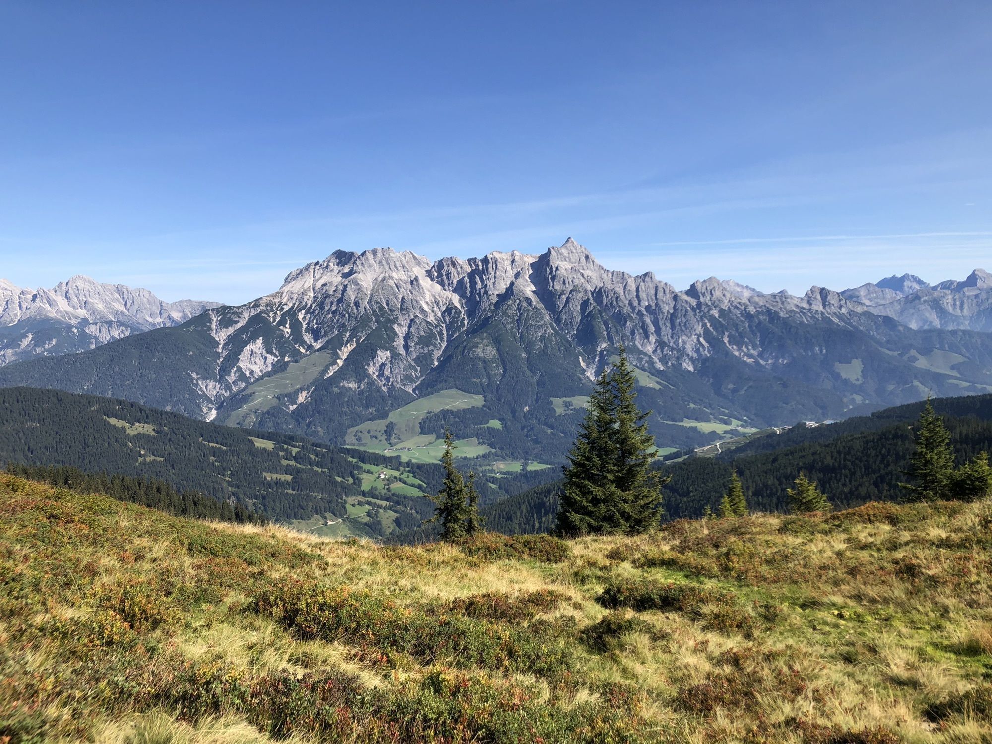
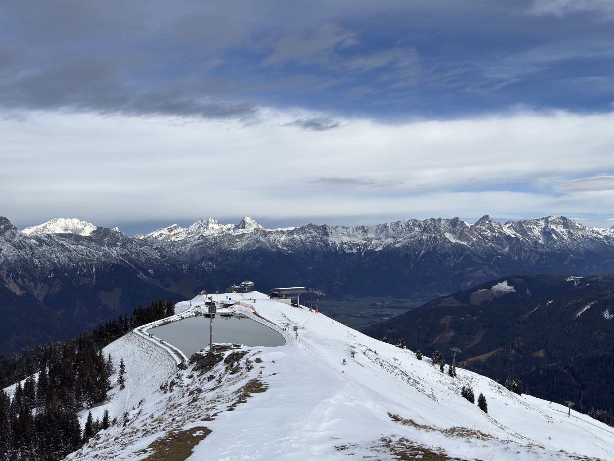

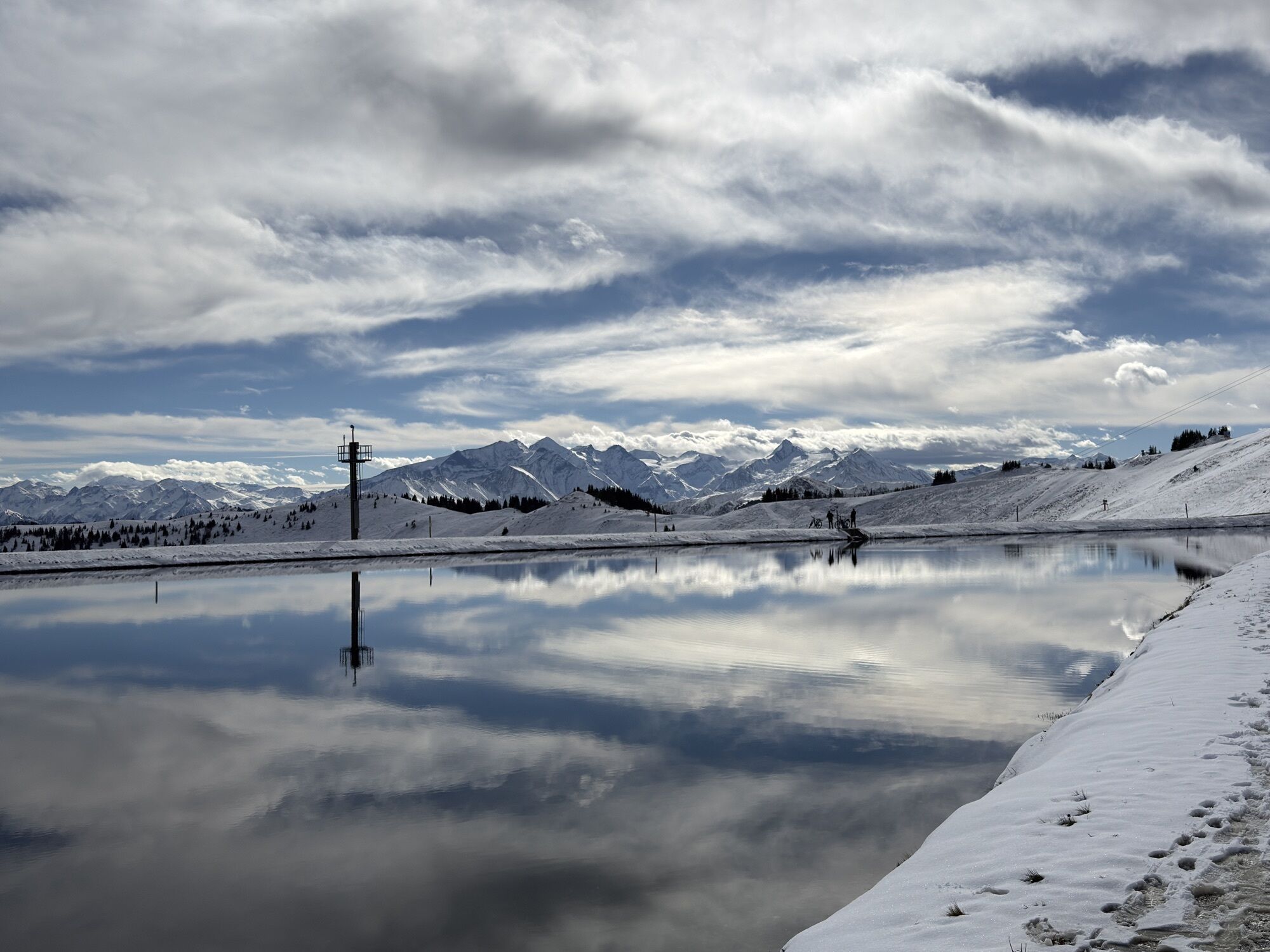


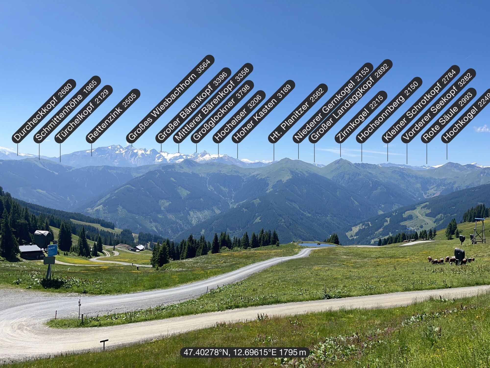
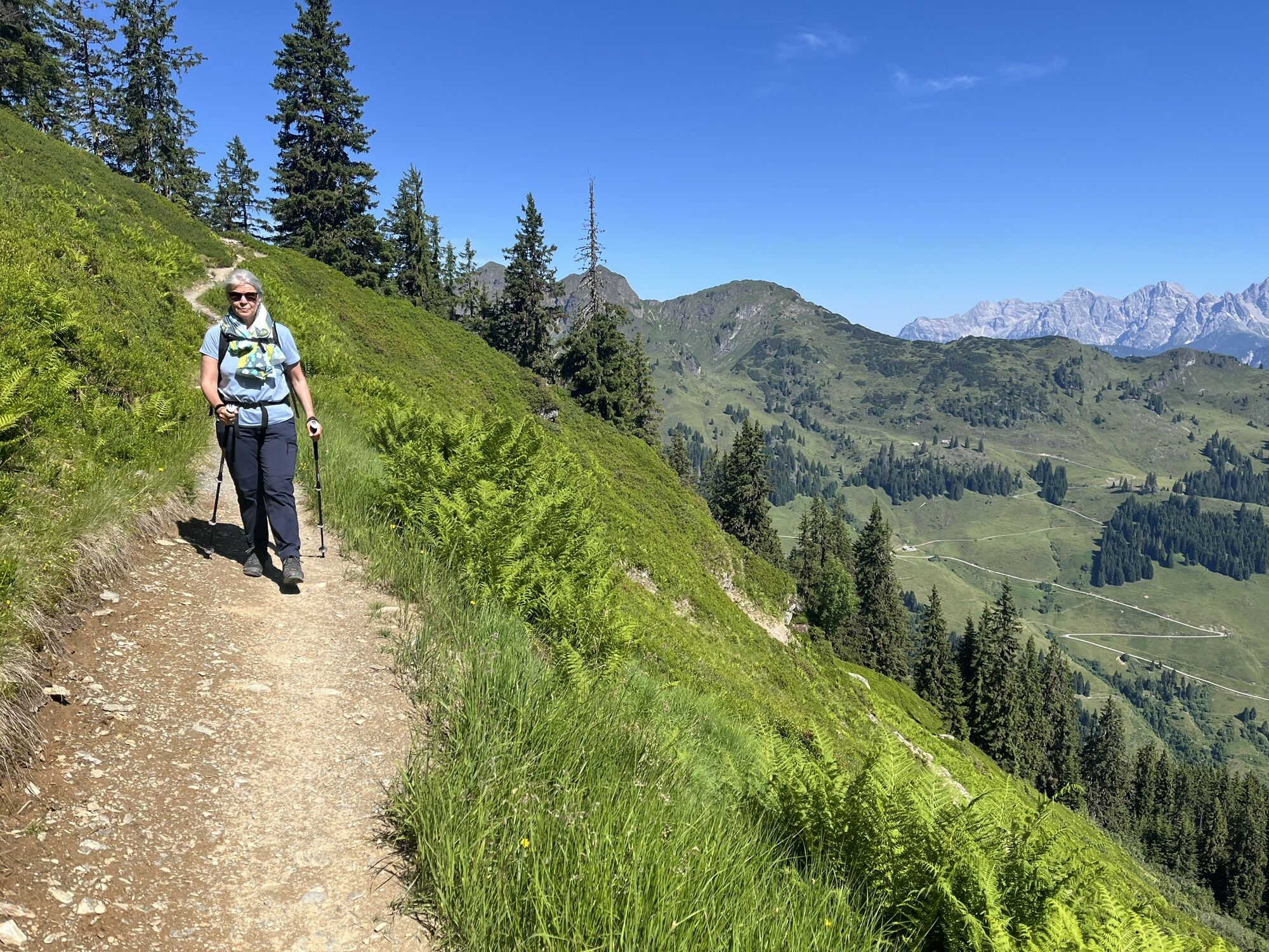
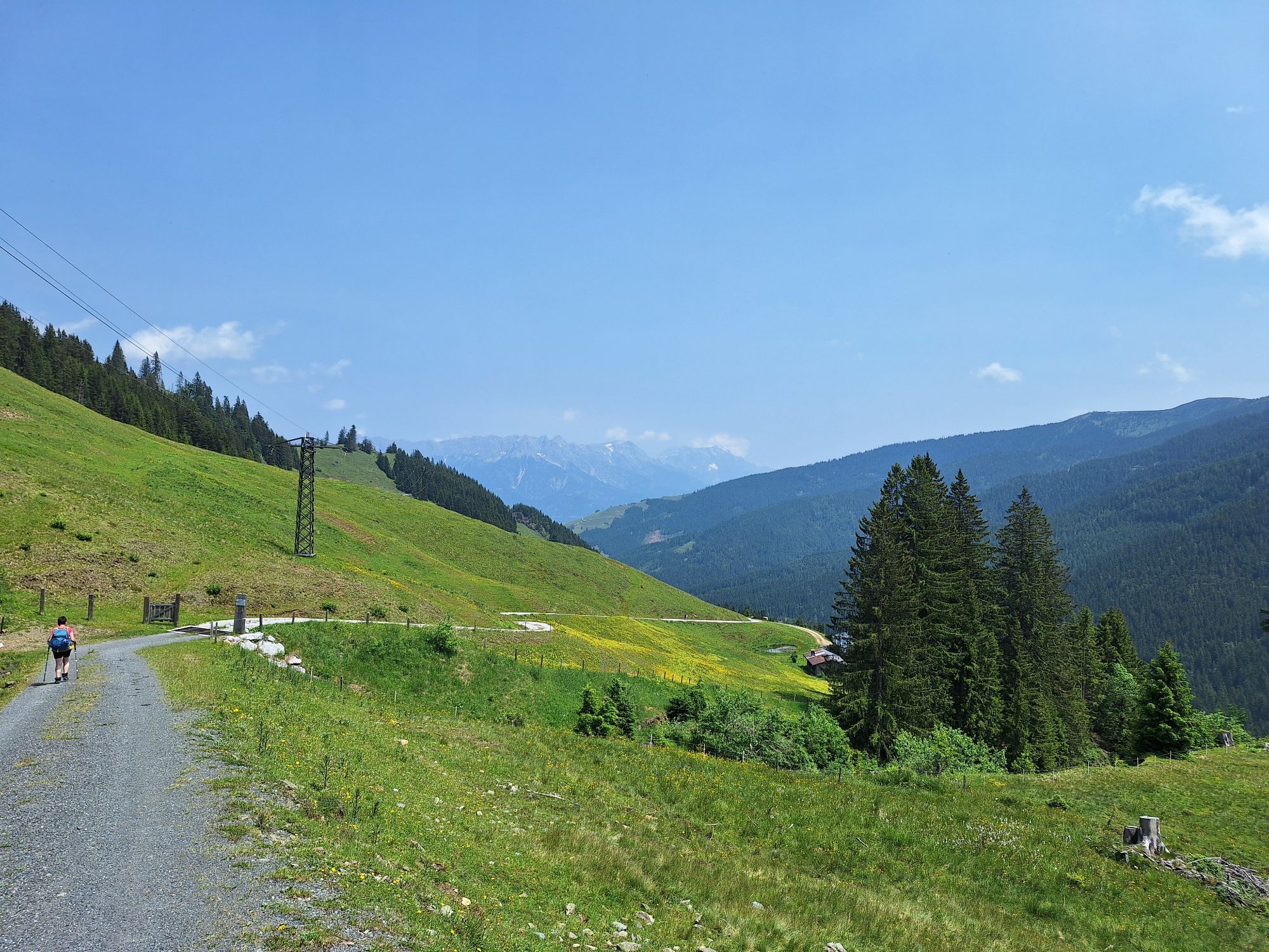


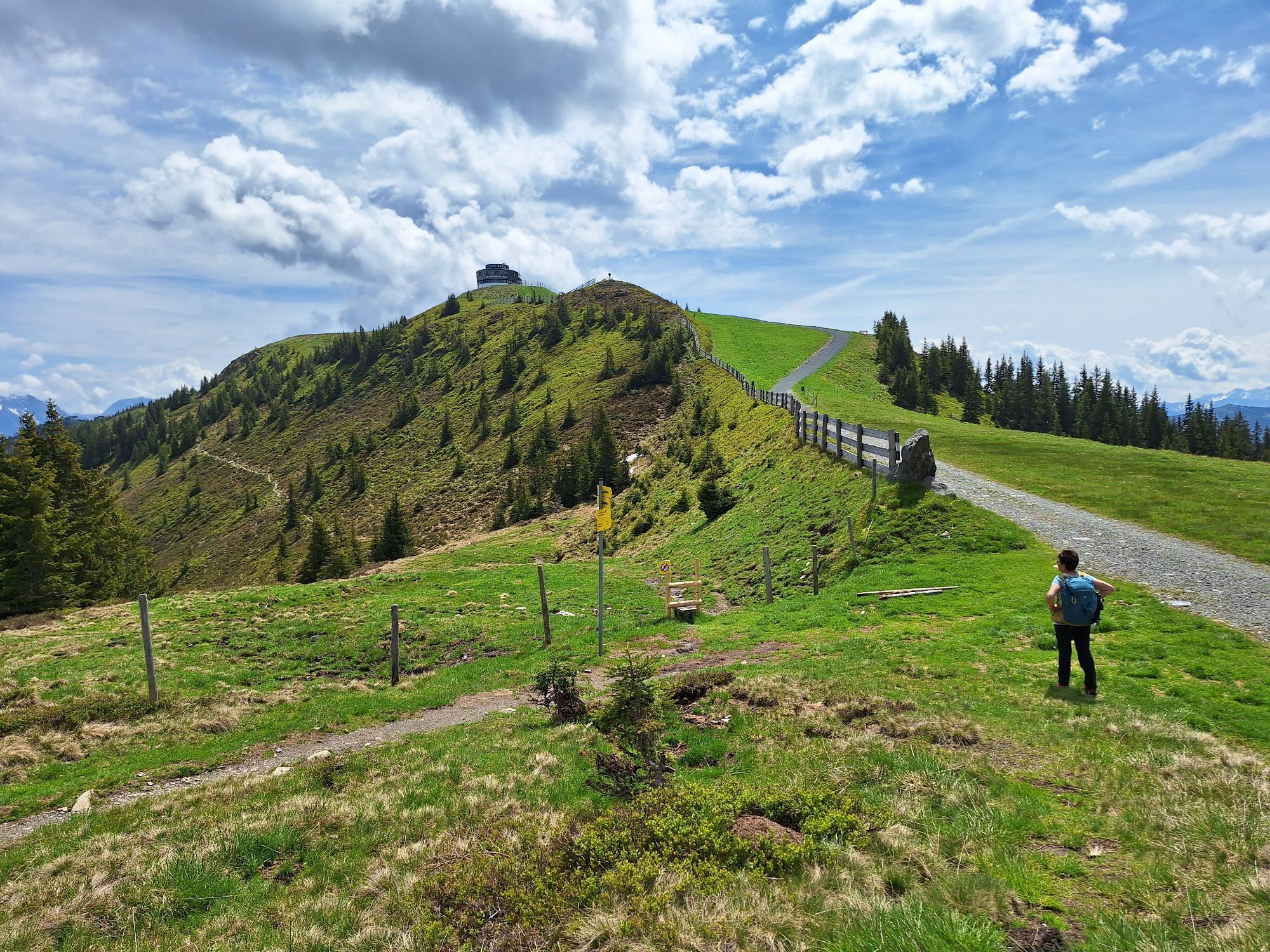


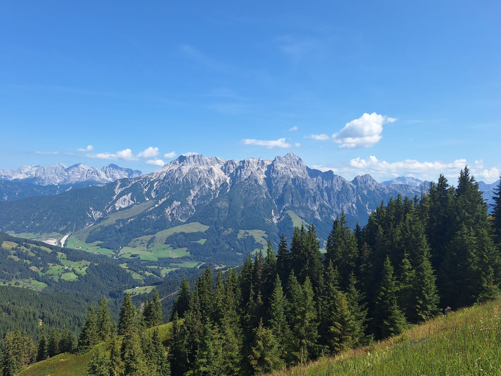


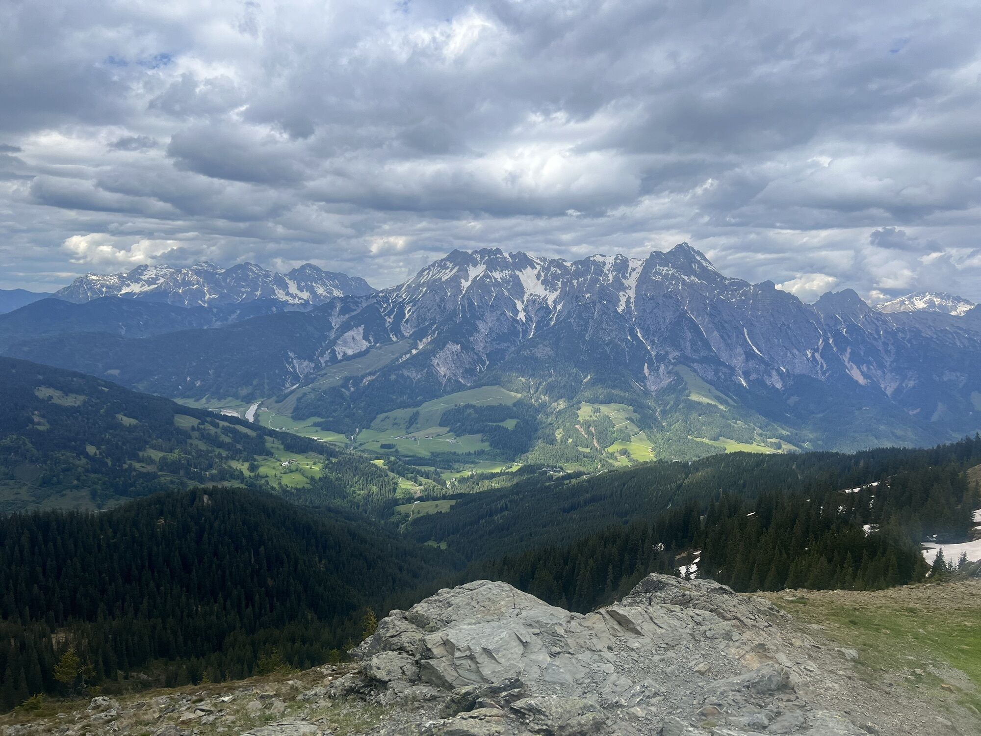

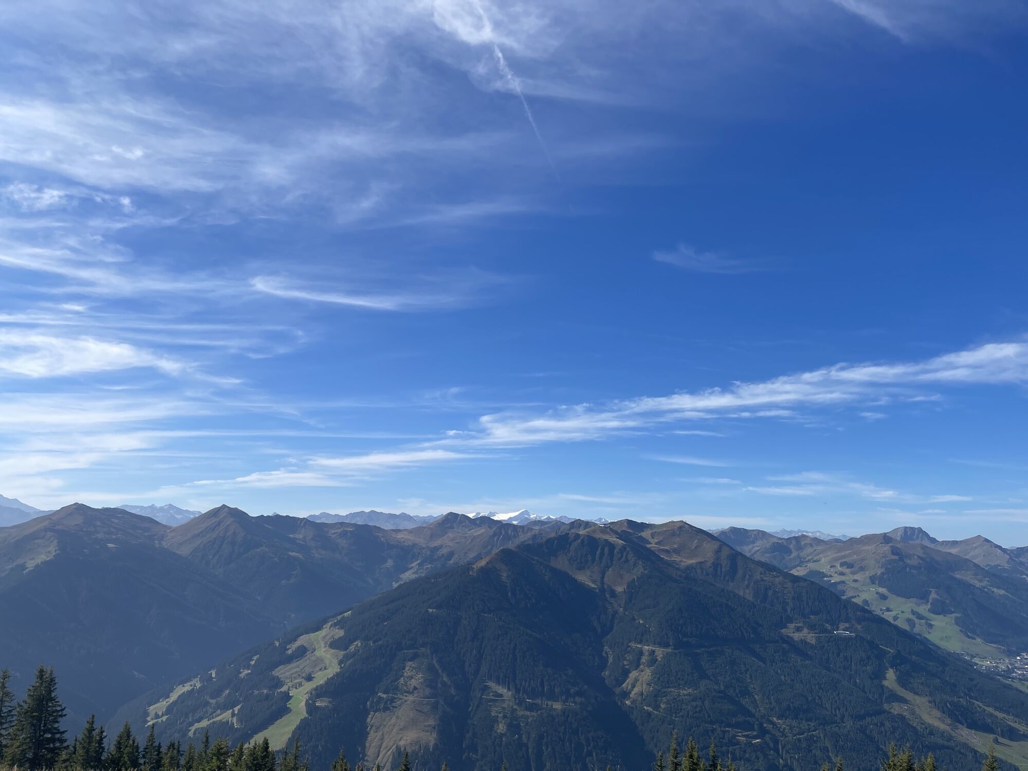


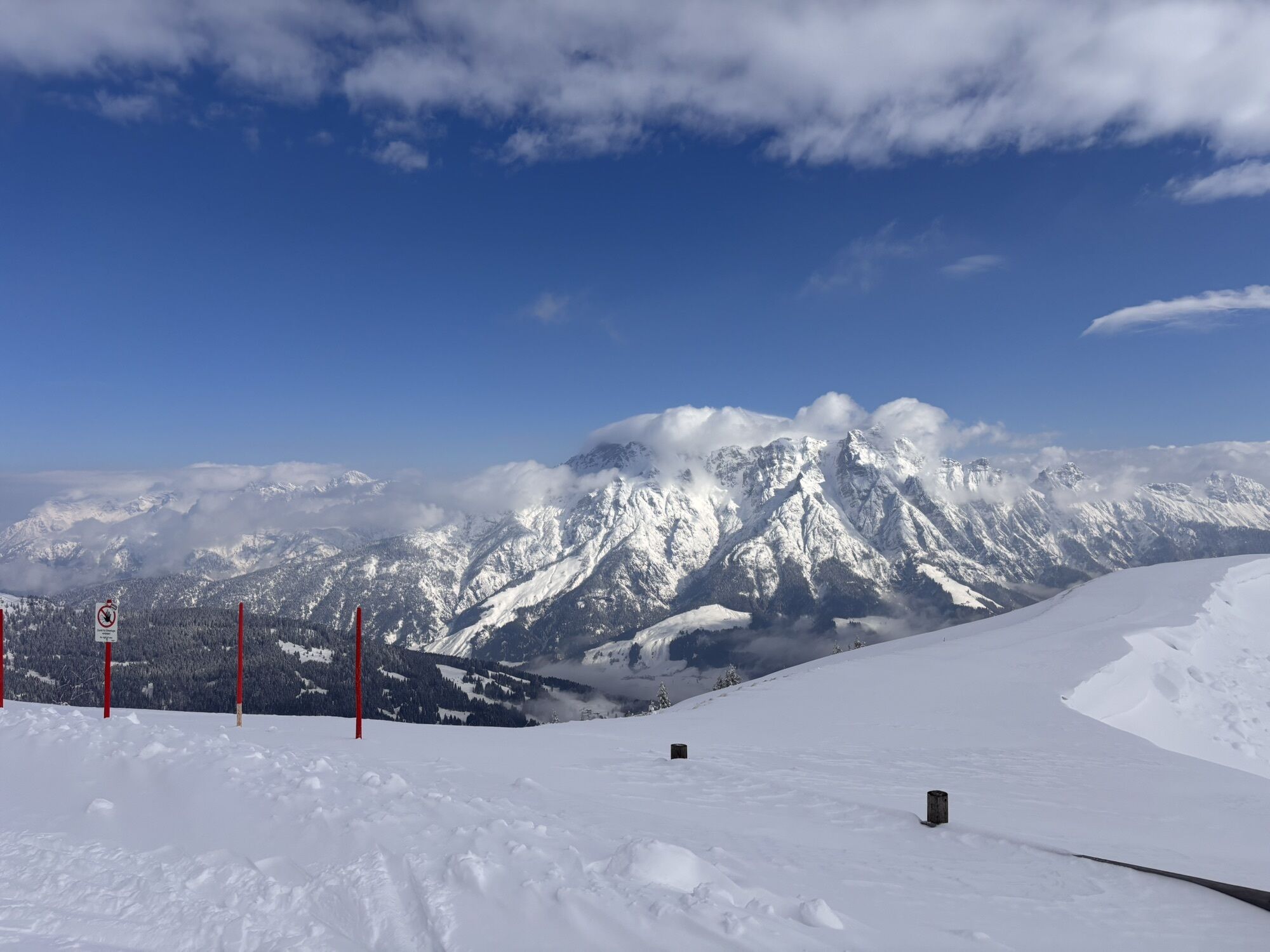
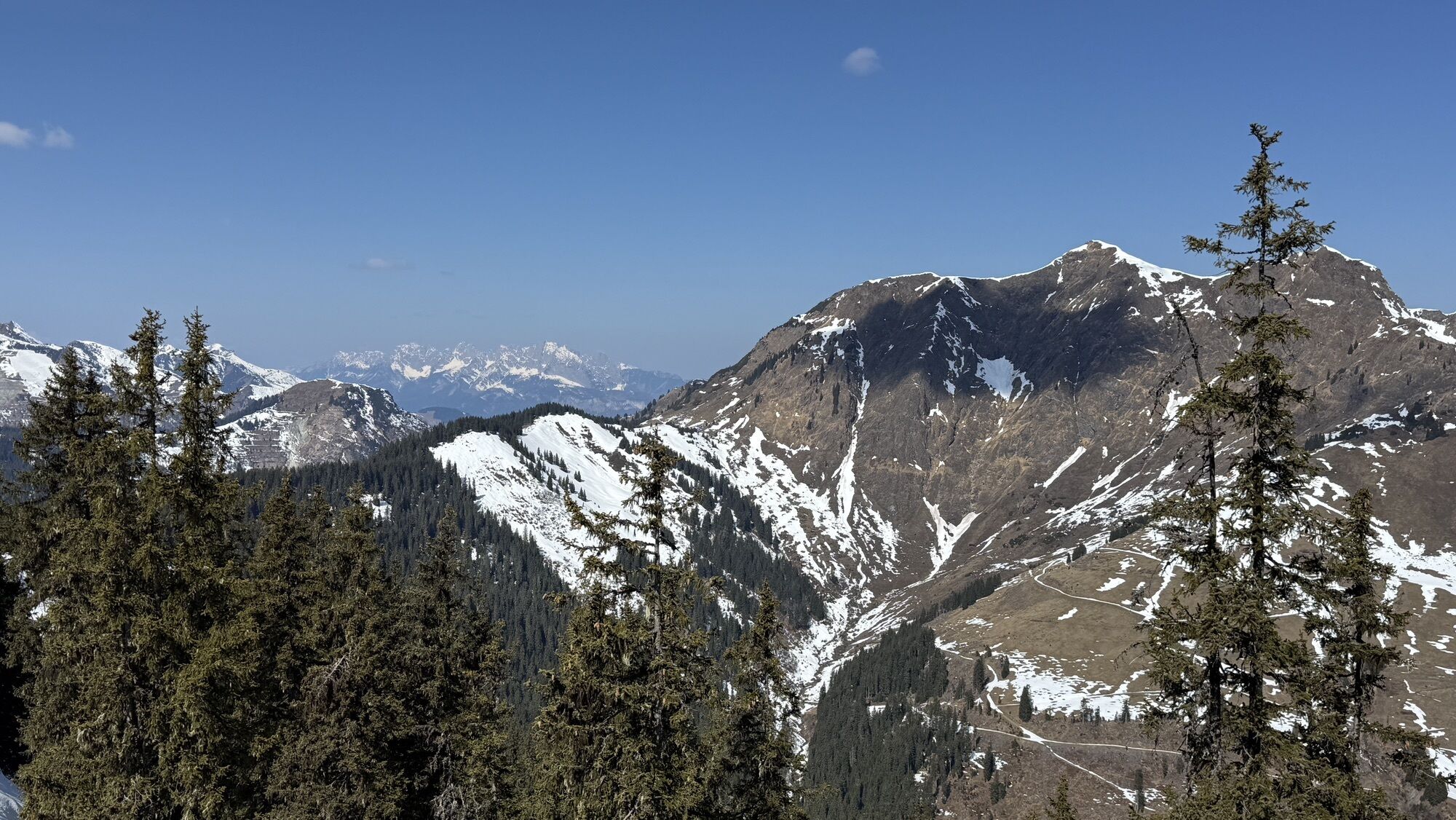
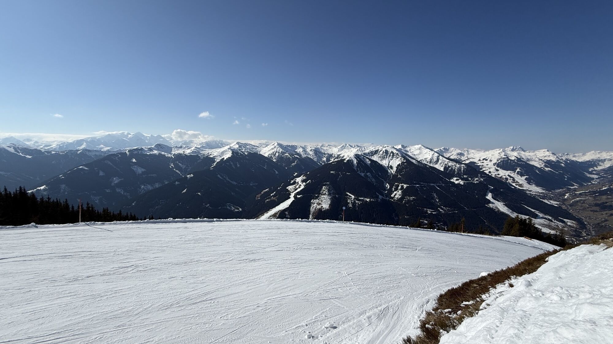
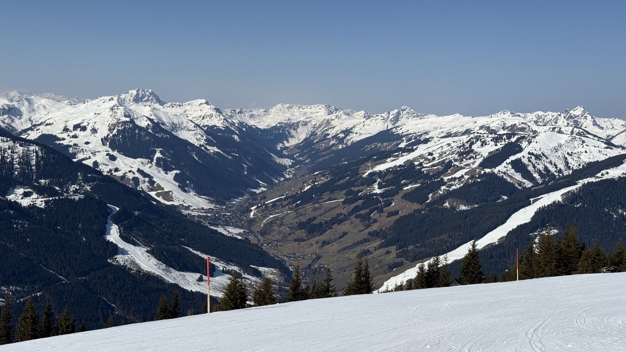
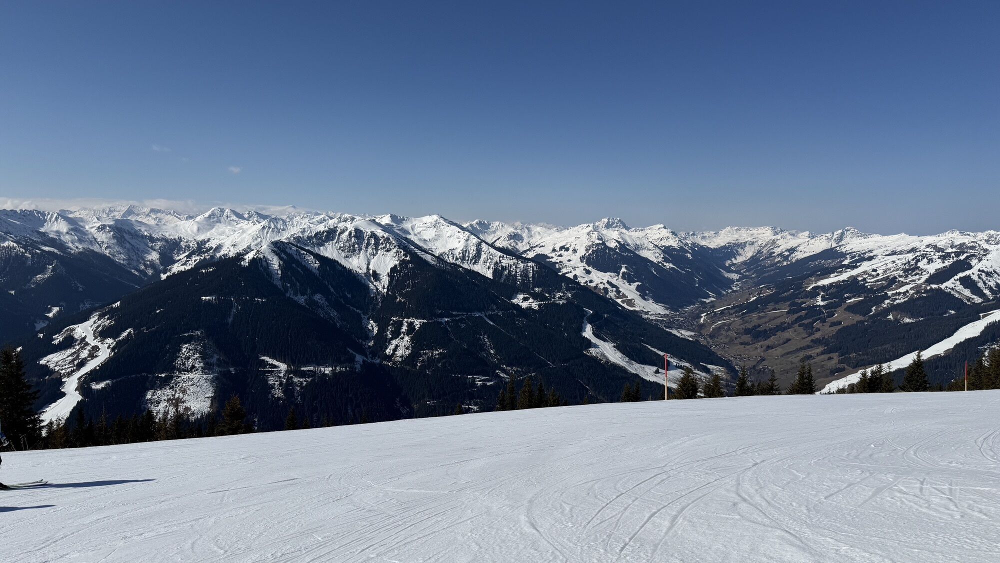
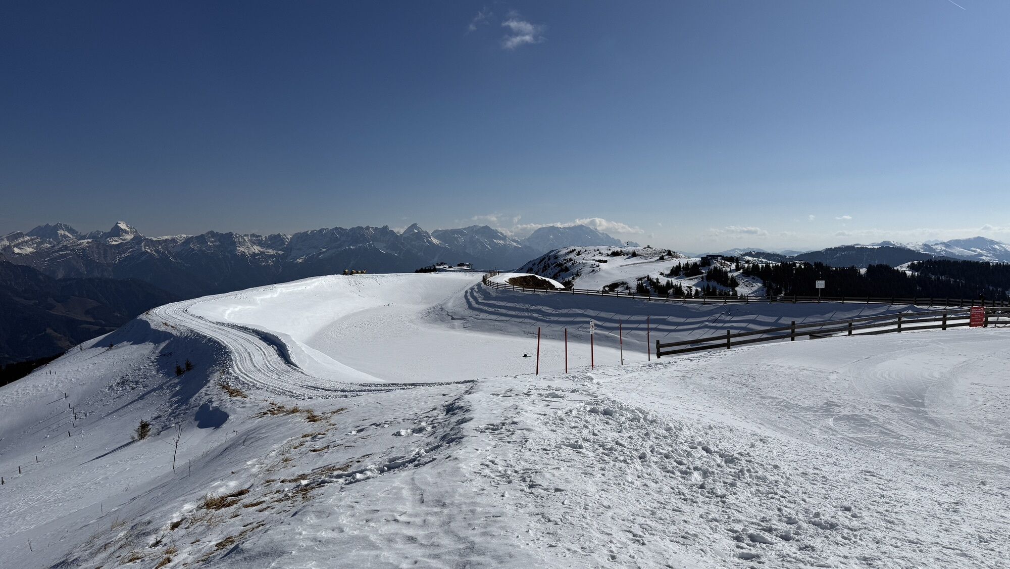
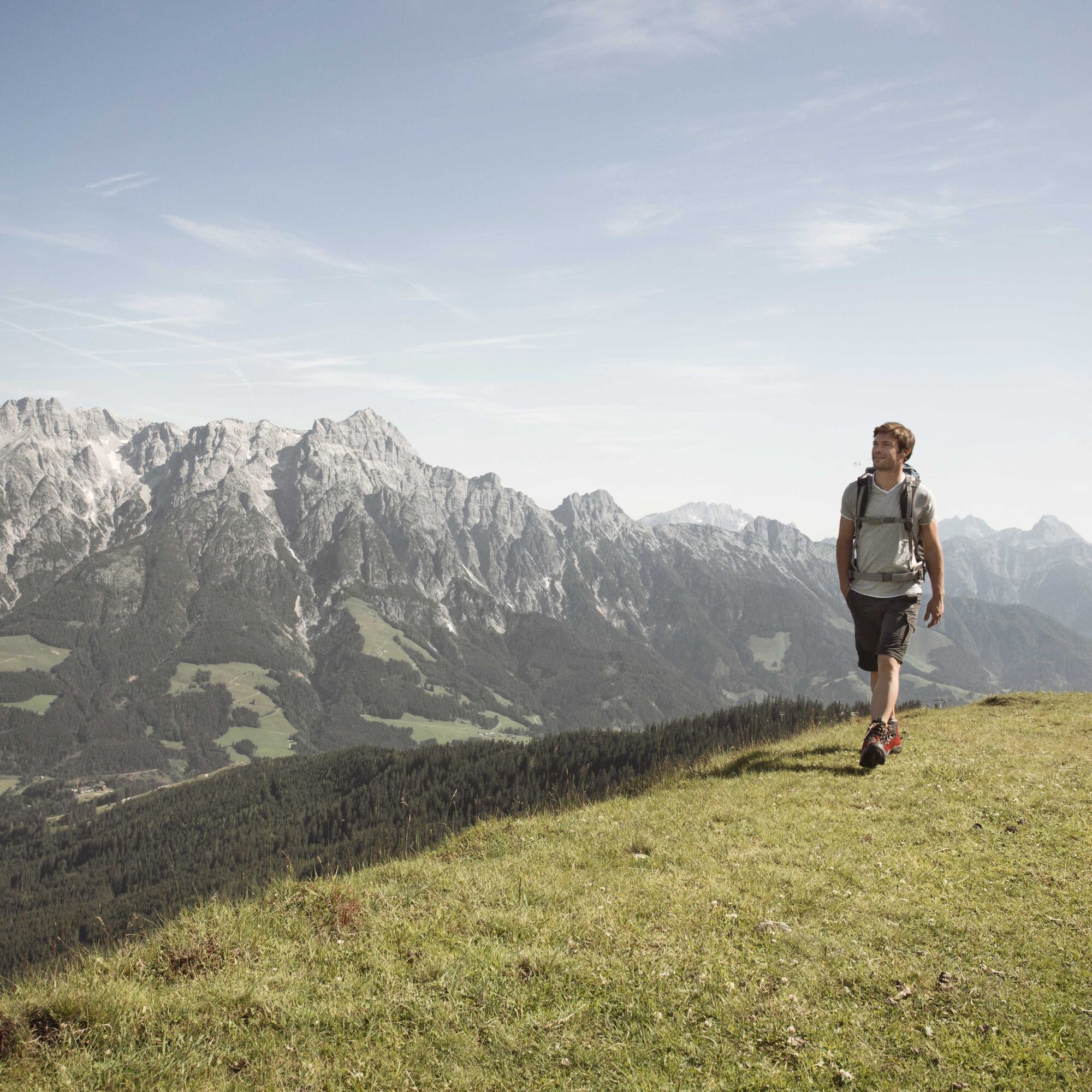
The western part of the Saalachtal high trail is a beautiful multi-hour hike over mountain ridges, through alpine meadows and down into the Leogang Schwarzleotal. Due to its length, it is ideal for a day...
The western part of the Saalachtal high trail is a beautiful multi-hour hike over mountain ridges, through alpine meadows and down into the Leogang Schwarzleotal. Due to its length, it is ideal for a day trip. The gentle slopes, however, make it the perfect hiking trail for young and old.

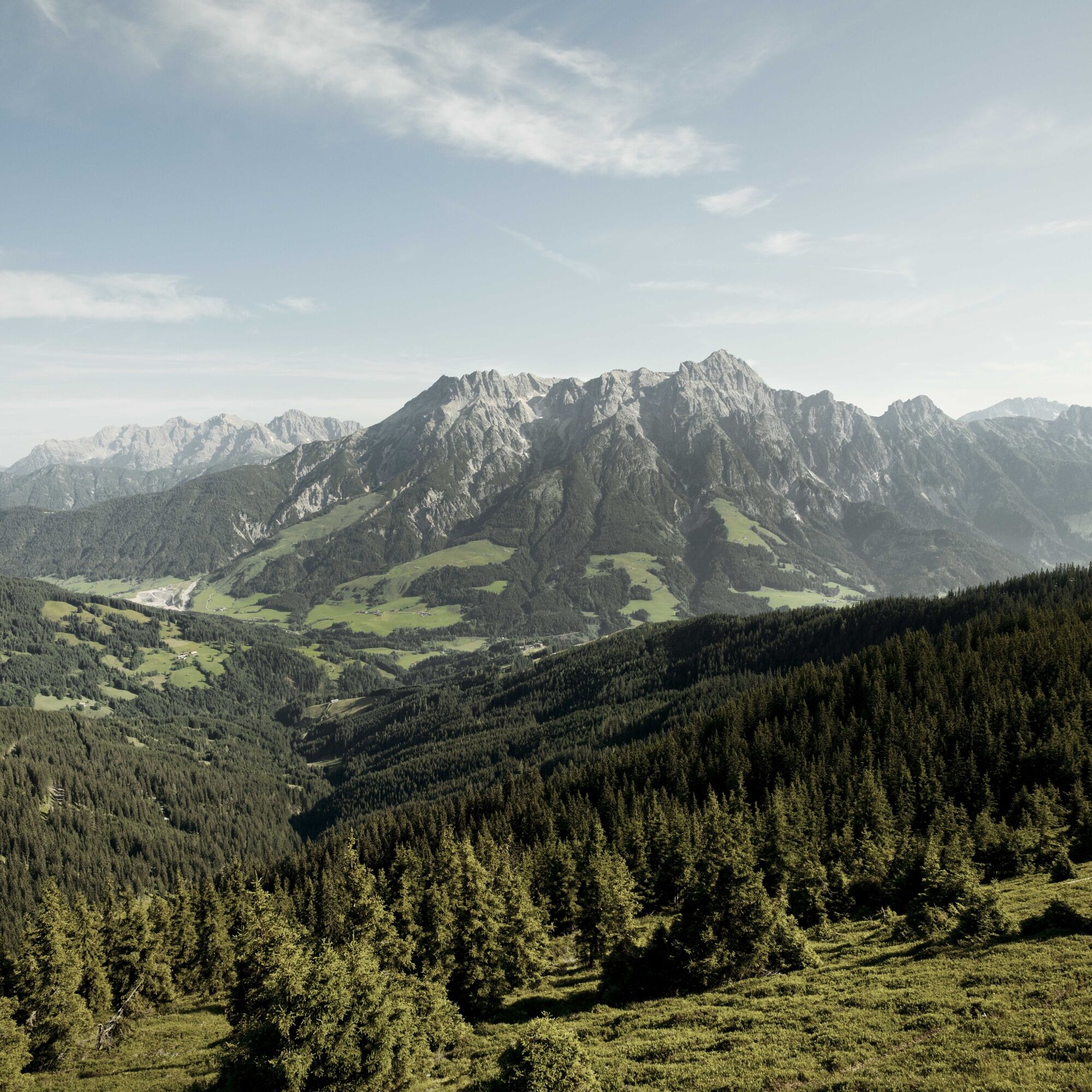
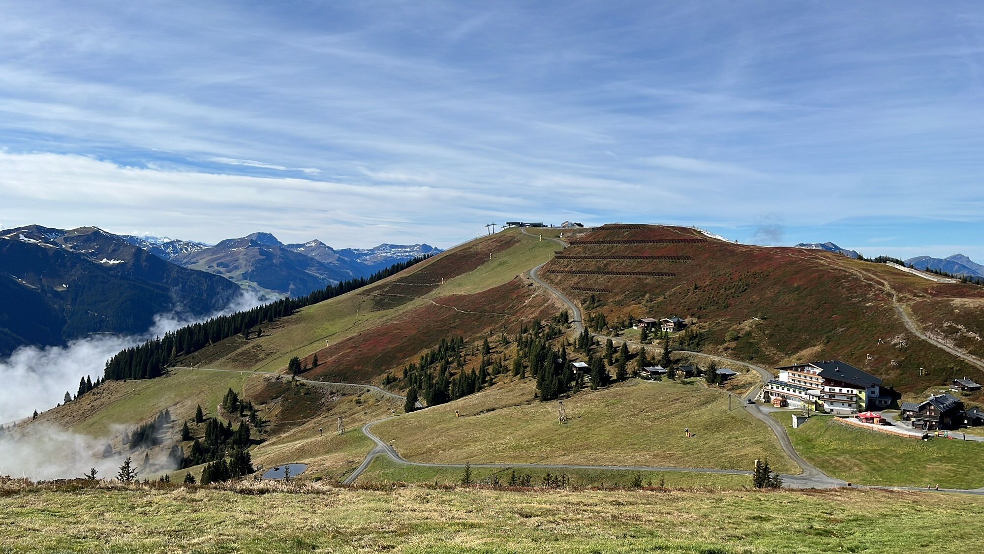
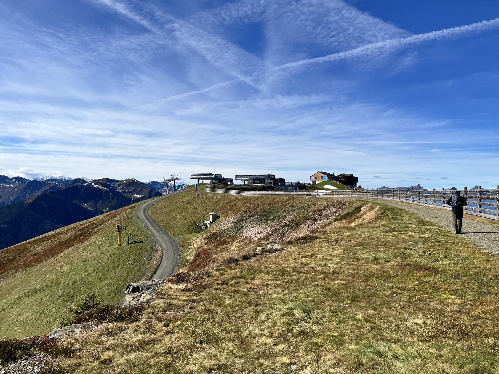
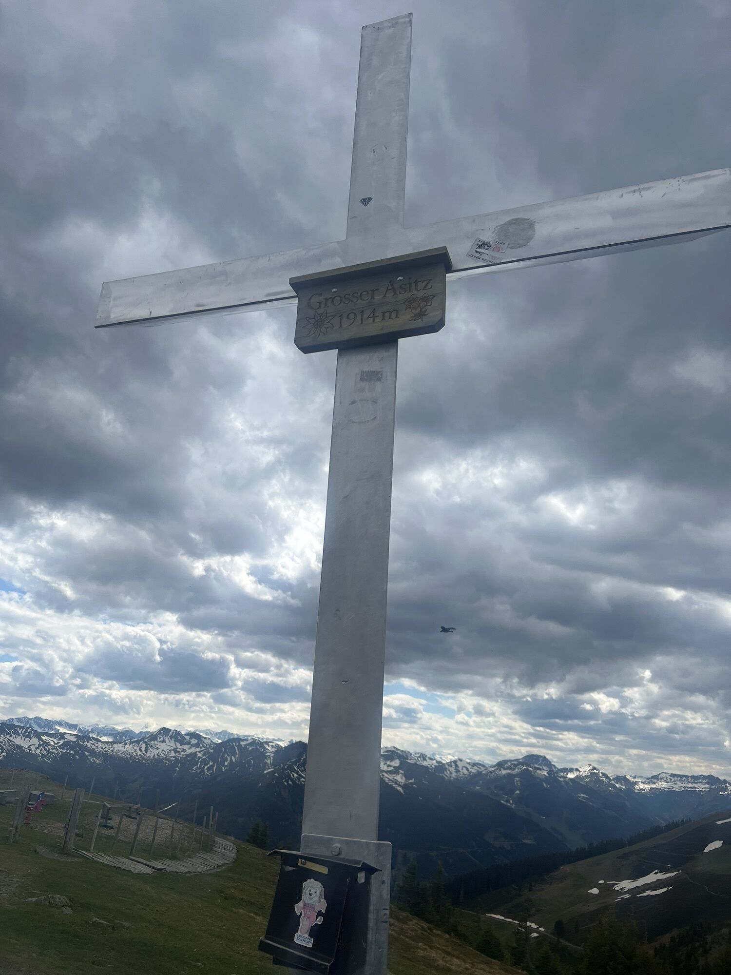
The hike starts at the mountain station of the Asitz or Steinberg cable car. From the mountain station head west towards the small Asitz and continue to the large Asitz. From here continue west over the Schönleiten hut and the Seidlalm to the Barnkogel. Then continue over the Spielbergtörl further to the Spielbergalm. The last stage leads back down to the valley to the Knappenstube "Unterberghaus" in the Leogang Schwarzleotal.
Tak
Tak
Tak
Sturdy footwear, daypack, map material, sufficient water / snacks
BY CAR
From Saalfelden or St. Johann in Tirol via B 164 to Leogang. The valley station of the Asitz cable car is about 4 km from the town center in the direction of Hochfilzen. From here you take the Asitz cable car to the mountain station and start the hike there.
Return journey: From the Knappenstube "Unterberghaus," the valley station of the Asitz cable car can be reached either by taxi (approx. 12 min) or on foot (approx. 50 min).
Tip: or book the Loigom-Soifen shuttle at +436649271464
BY TRAIN
You can enjoy your vacation from the start by train. No traffic jam keeps you from coming to Saalfelden Leogang! Furthermore, the ÖBB timetable helps you quickly and easily find the ideal train connection to Leogang station: www.oebb.at (walking distance to the starting point approx. 30 minutes)
BY BUS
The starting point at the valley station of the Leogang Asitz cable car can be reached by Postbus from the town center Saalfelden or Leogang. From the bus stop "Leogang Asitzbahnen," the starting point is reachable on foot within a few minutes. More information can be found at https://fahrplan.salzburg-verkehr.at/
Parking spaces are available at the valley station of the Asitz cable car (Hütten 39, 5771 Leogang)
T2
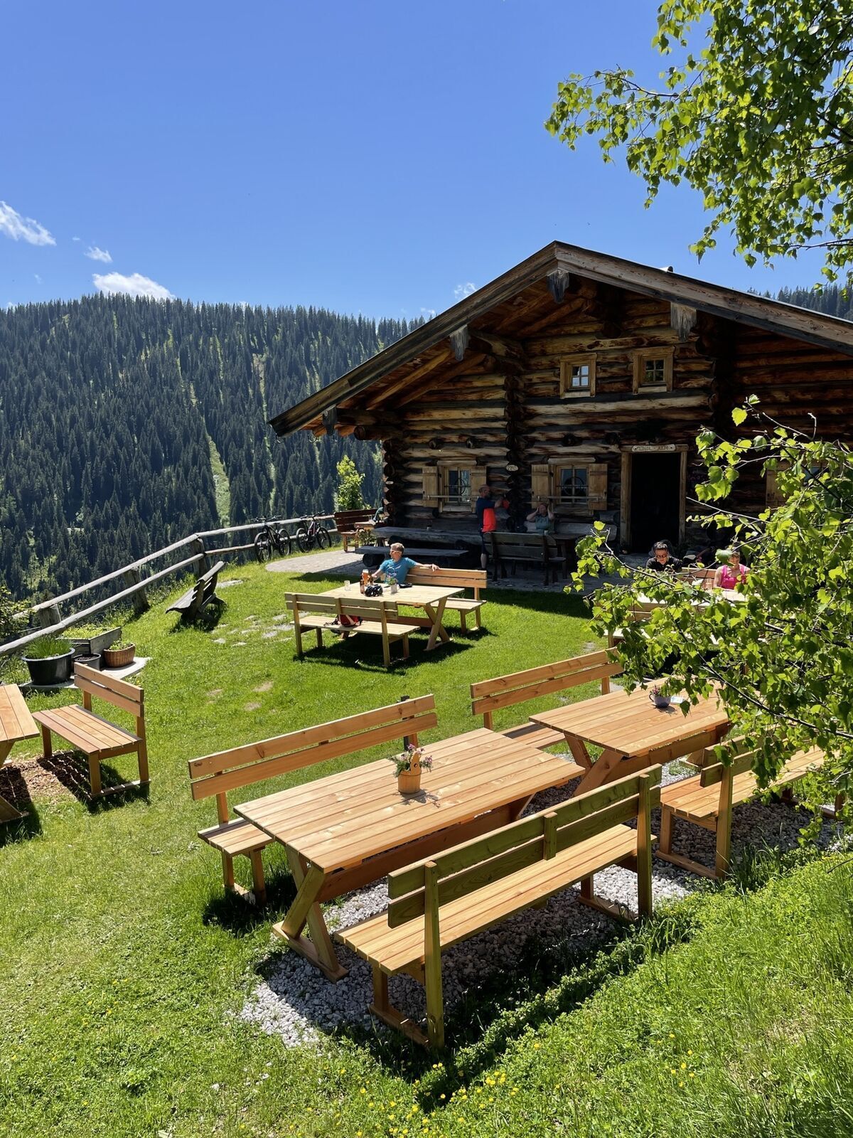
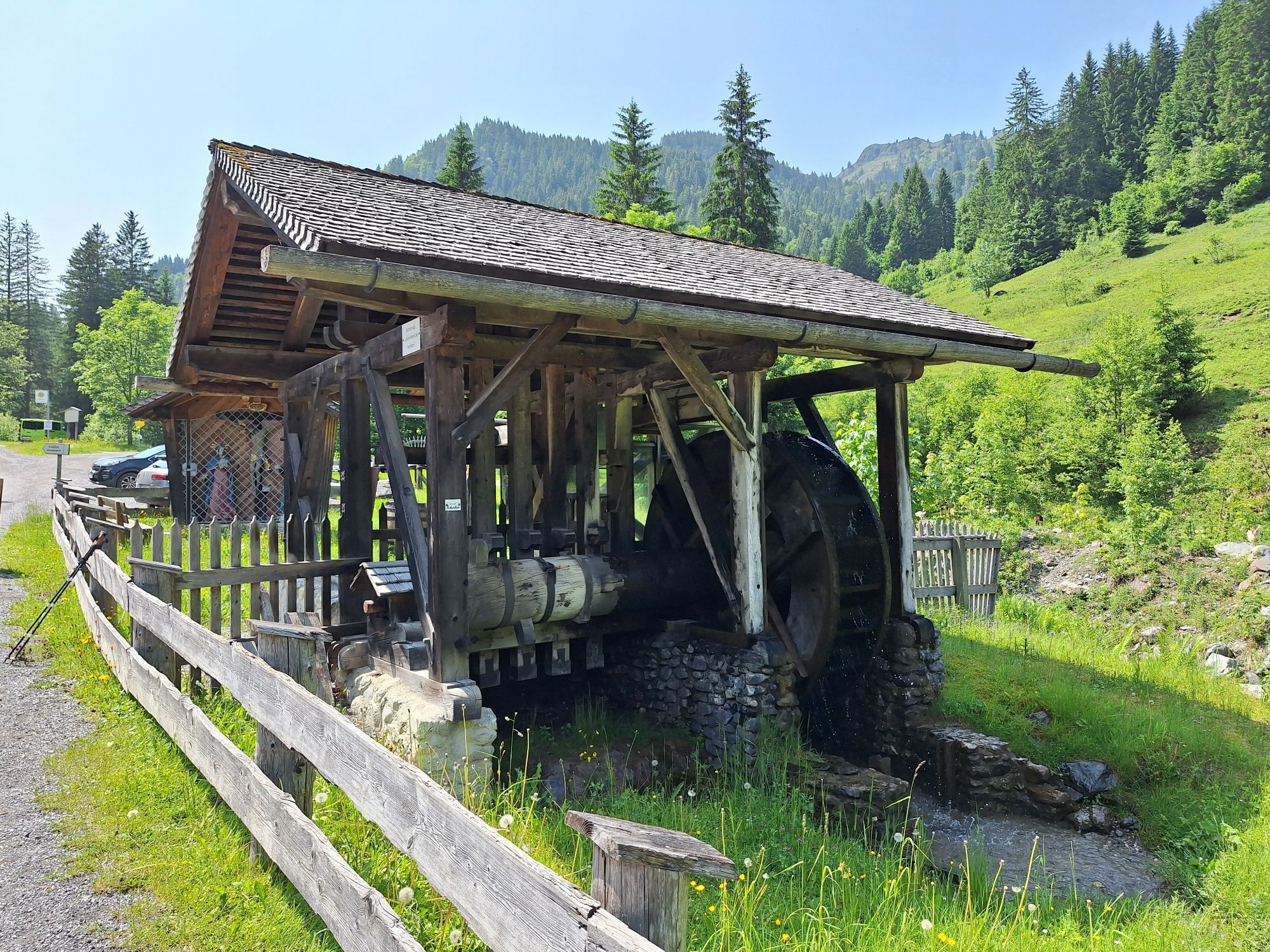
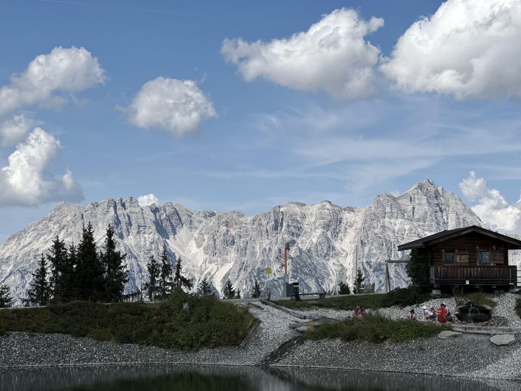
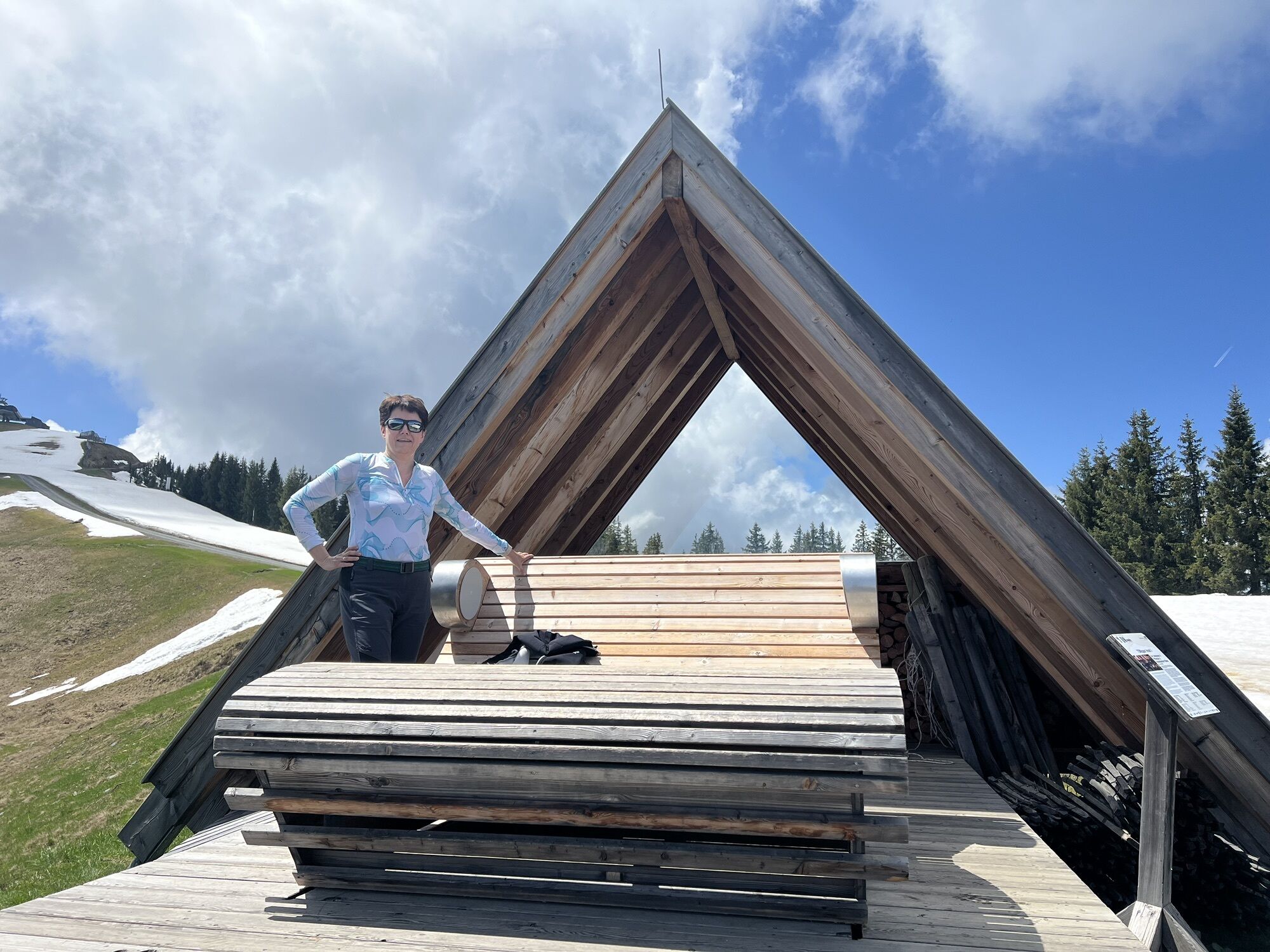
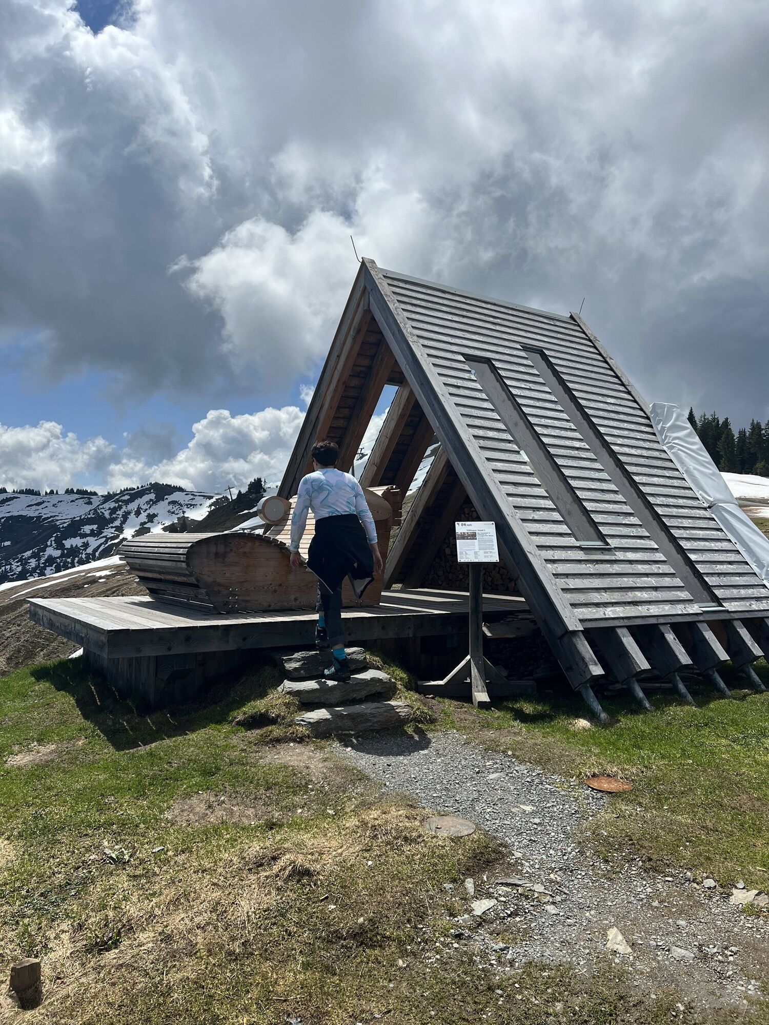
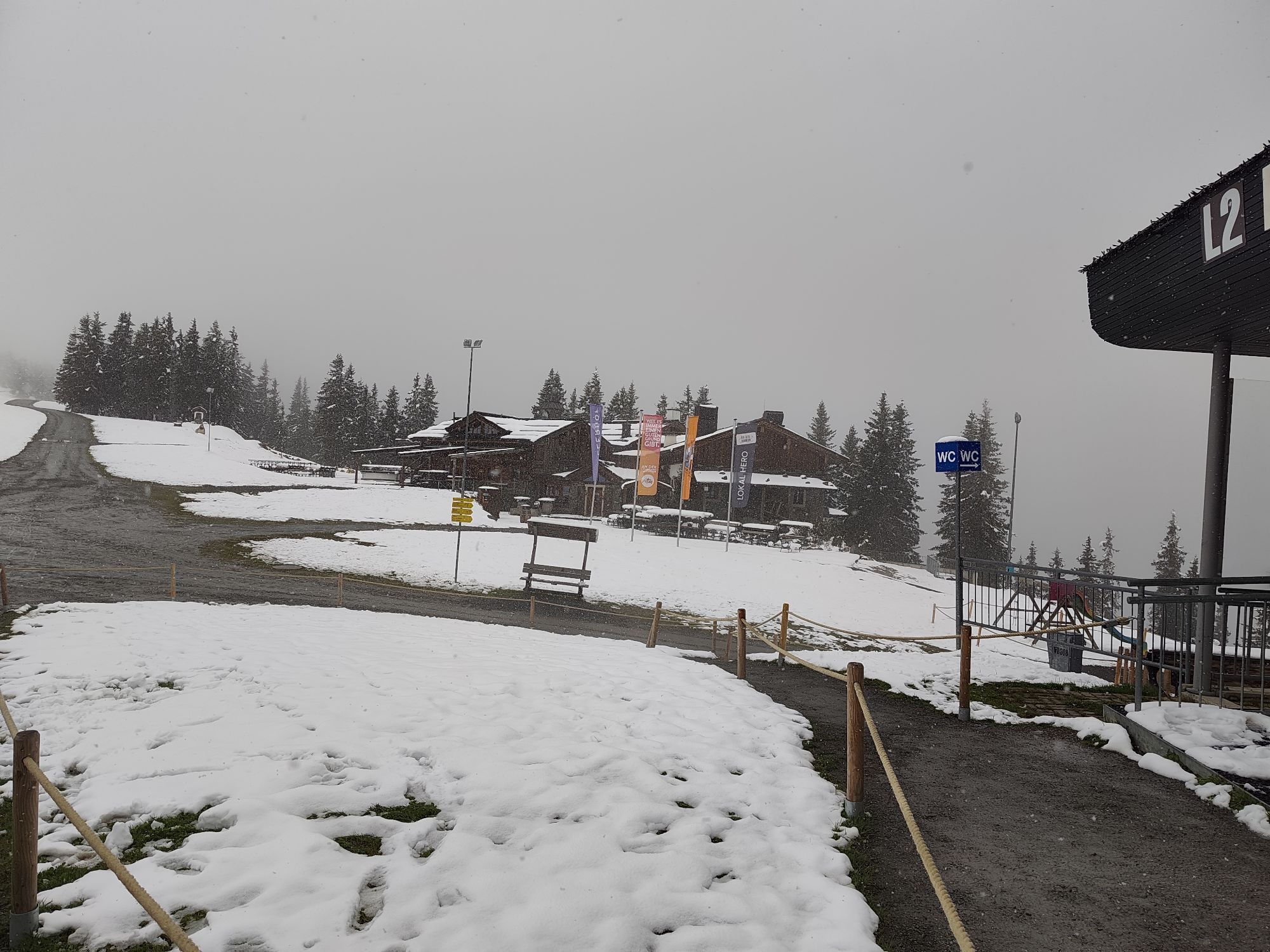
Places to eat: Alte Schmiede, Asitzbräu, Spielbergalm and Unterberghaus
A snack for the break
Along the Saalachtal high trail, numerous spots invite you to take a break in the open air. Regional products brought along taste particularly good up here!
Kamery internetowe z trasy
Asitz Gipfel
Hinterglemm Dorf
Kohlmais Tal
Asitz Talstation
Leogang
Großer Asitz / Gipfelkreuz
Leogang Schanteilift
Saalbach-Hinterglemm - Schattberg Ost
Saalbach-Hinterglemm - Wildenkarkogel
Saalbach - Hotel Alpinresort
Schattberg-Ost
Wildenkarkogel
Talstation Asitzbahn
Saalbach-Hinterglemm - Kohlmais
Kohlmaiskopf
Leogang - Grosser Asitz
zellamseeXpress
Wohlfühlhotel-Johanneshof
Eberharthof - Saalbach-Hinterglemm
Popularne wycieczki w okolicy
- 4,6
Steinalm
światłoWędrówka 2,71 km - 4,3
Peter-Wiechenthaler Hut
średniWędrówka 4,32 km - 4,1
Passauer Hütte
ciężkiWędrówka 4,14 km - 4,9
Hochsonnberg Runde
średniMountainbike 59,8 km - 4,4
Birnbachloch
średniWędrówka 6,40 km - 4,5
Birnbachloch Leogang, Österreich
średniWędrówka 5,18 km - 4,4
Thumersbach, Runde um den Zeller See
światłoWędrówka 13,3 km - 4,6
Lettlkaser
średniWędrówka 4,40 km - 5,0
Panorama route 3 peaks and 2 lakes
średniWędrówka 7,35 km - 3,8
Maurerkogel (Top)
Wędrówka 10,5 km

Wędrówki i tropienie


Nie przegap ofert i inspiracji na następne wakacje
Twój adres e-mail została dodana do listy mailingowej.