






Saalachtaler Höhenweg EAST (Asitz - Biberg)

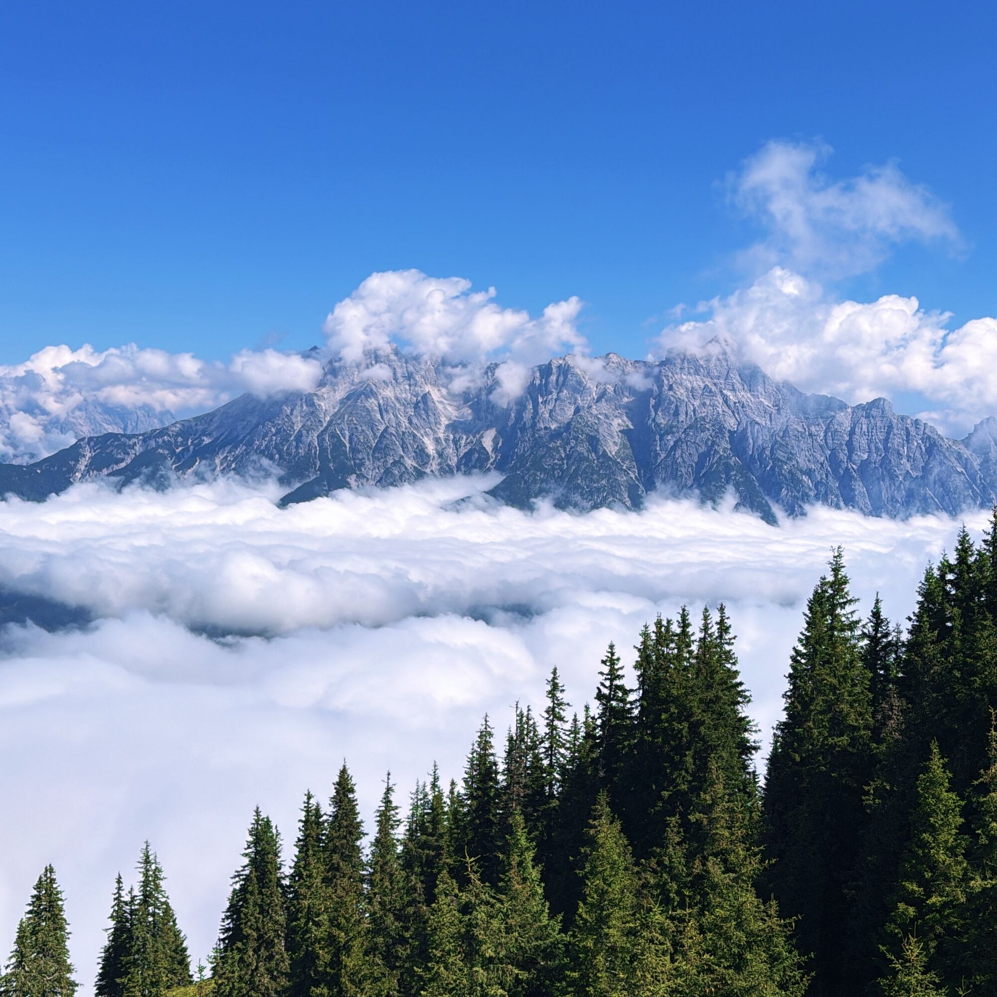
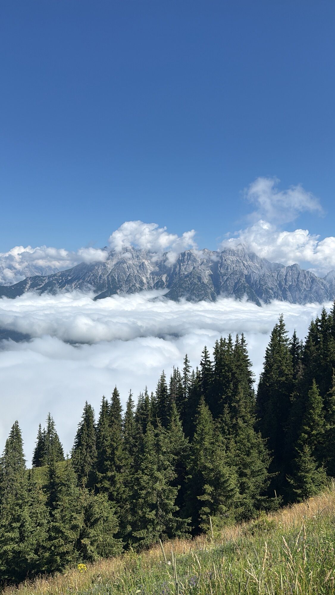
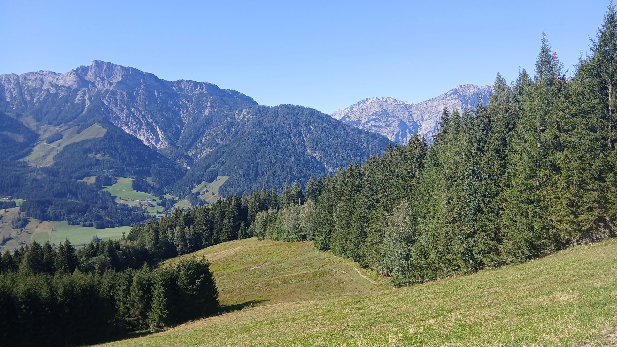
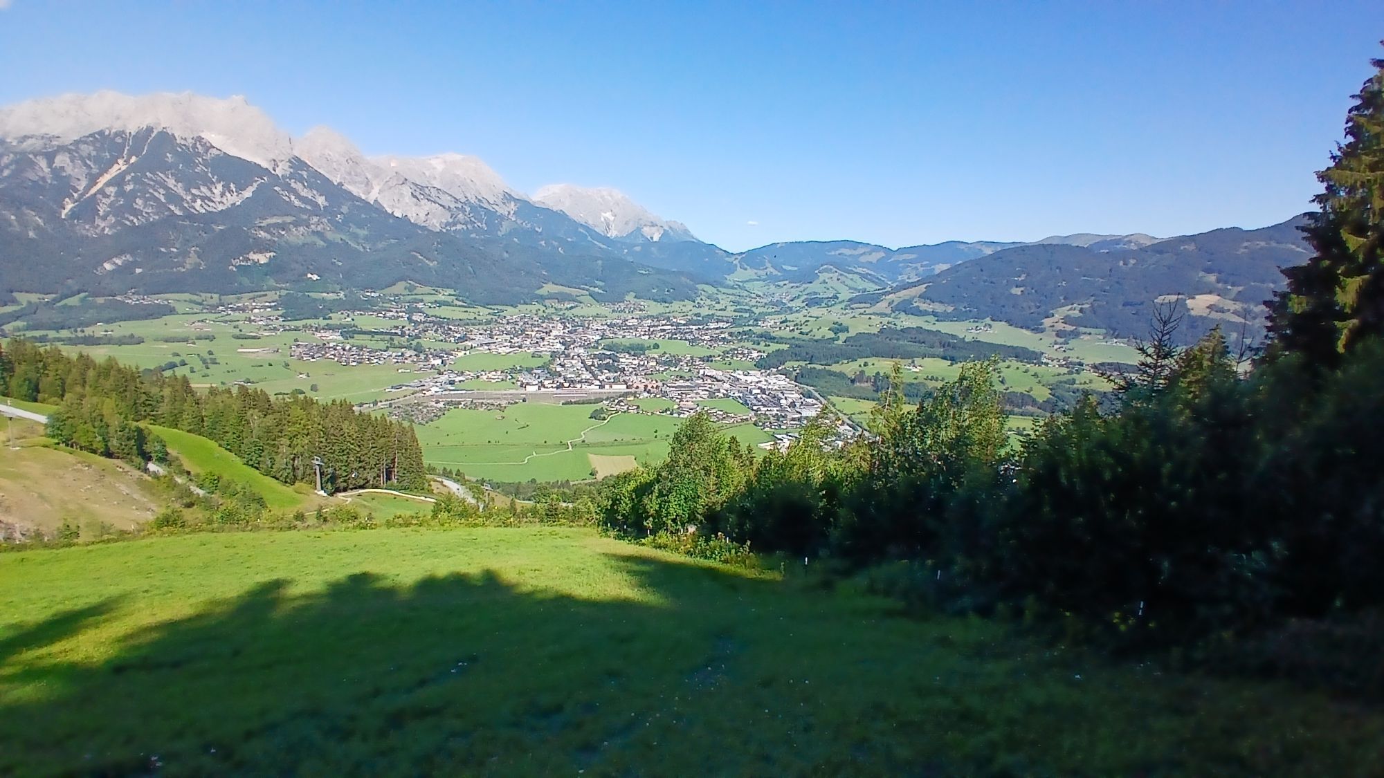
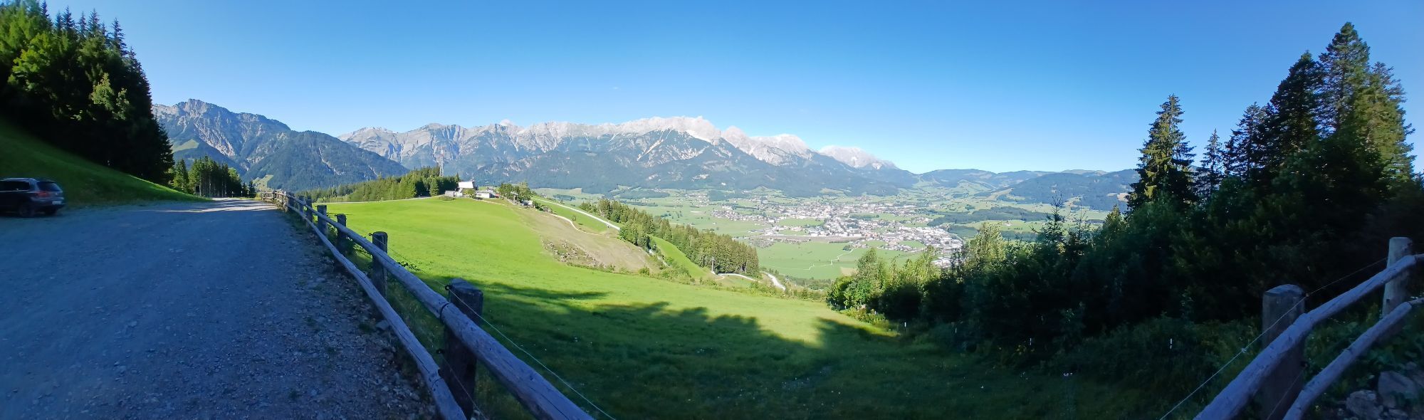
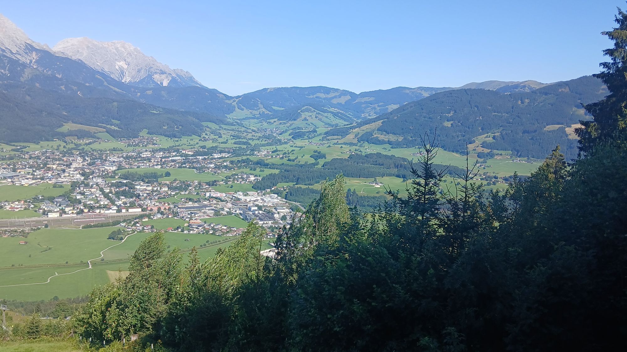
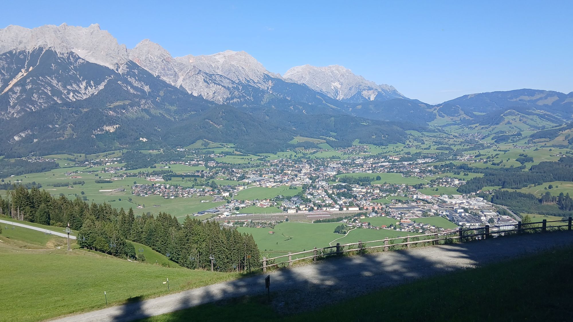
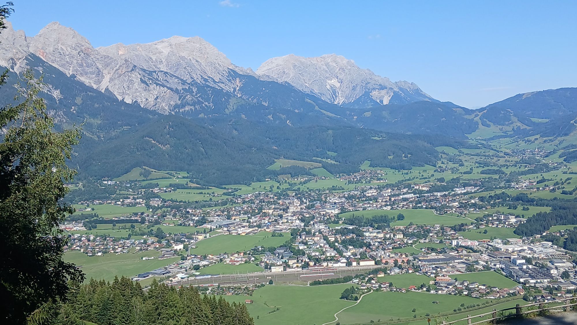
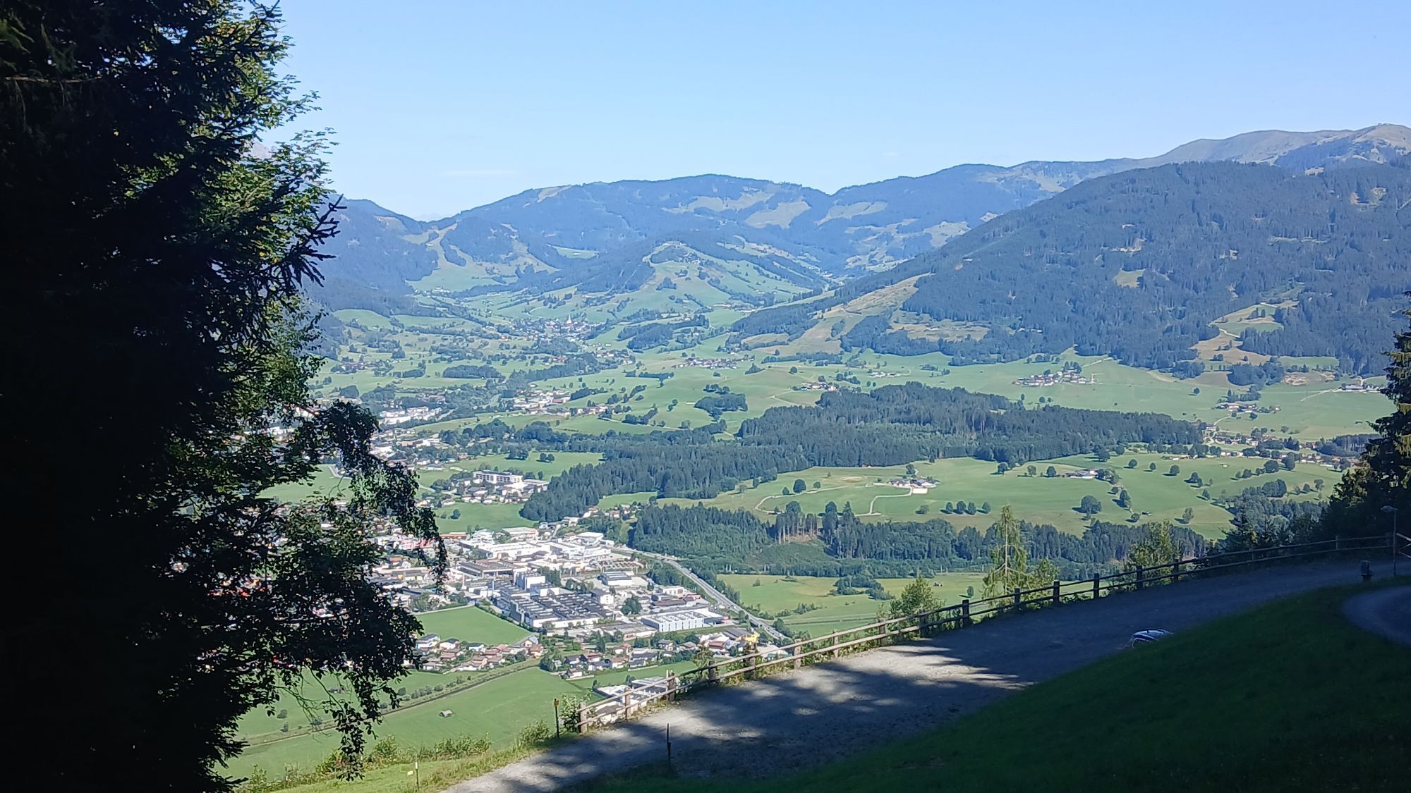
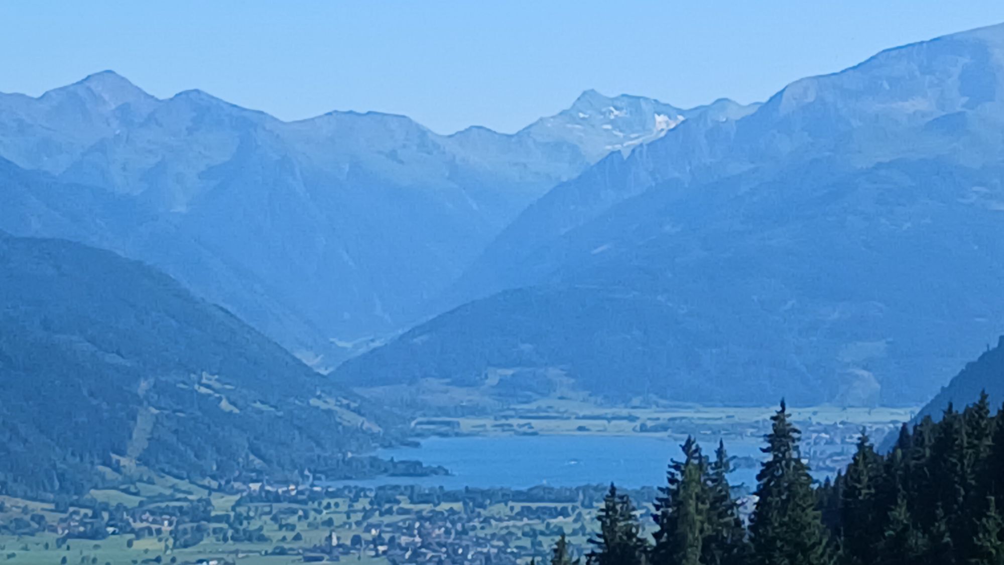
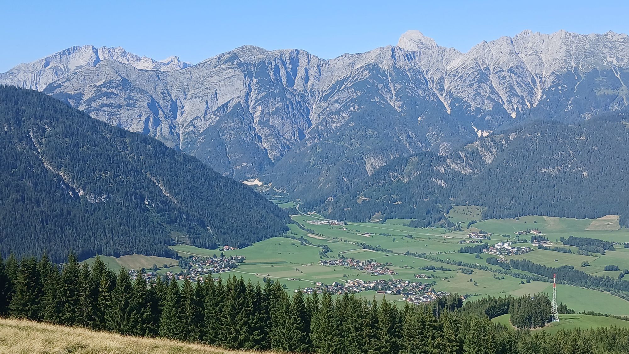
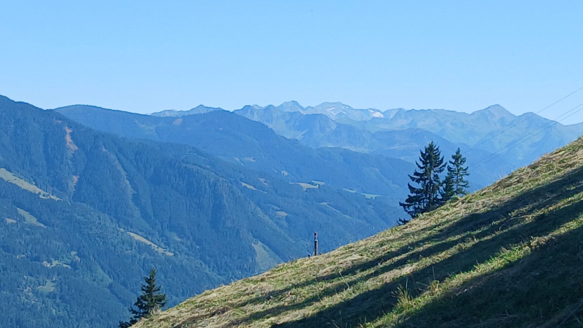
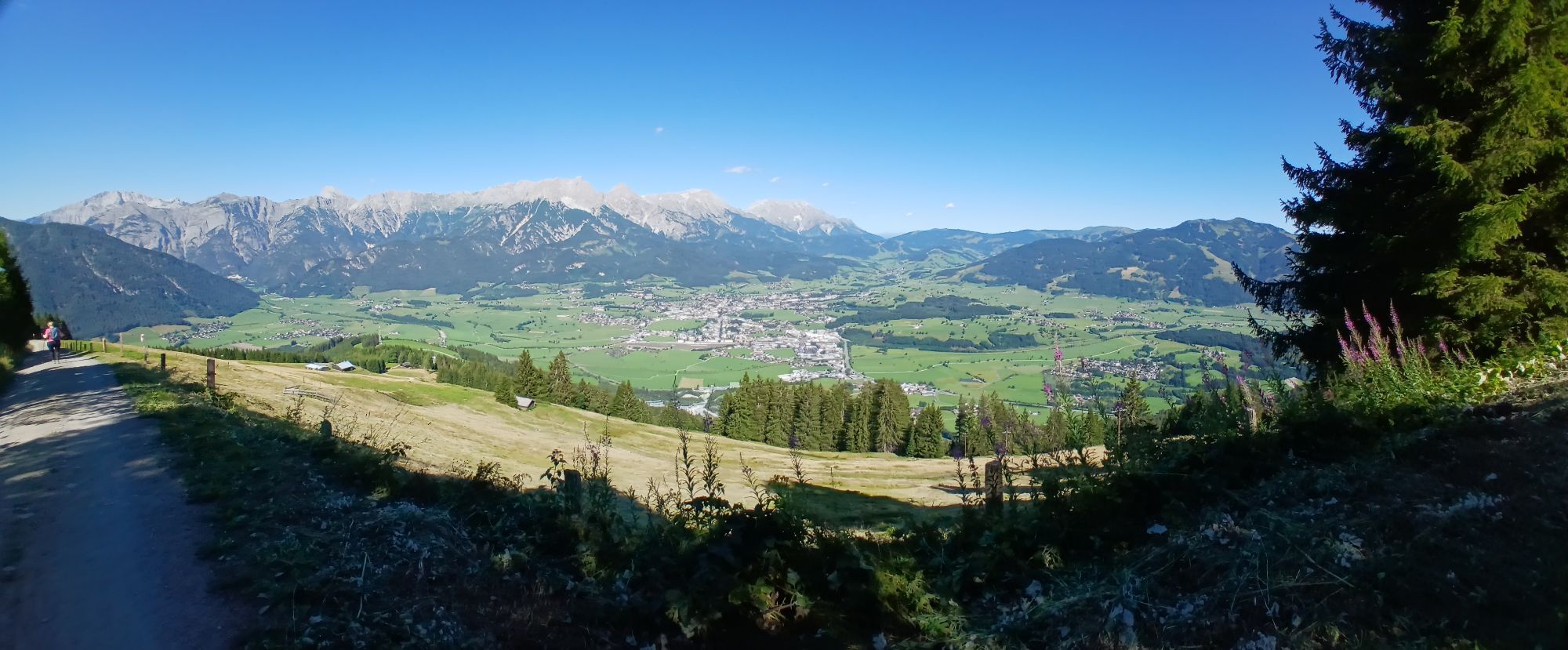
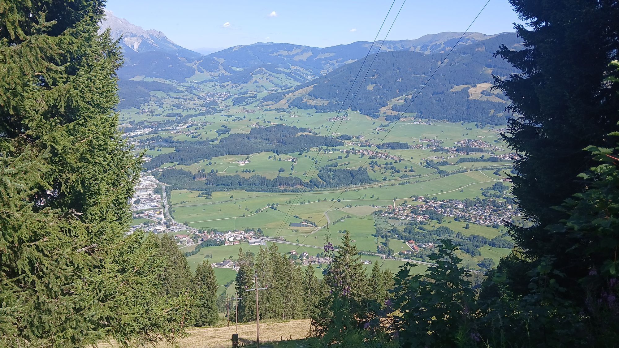
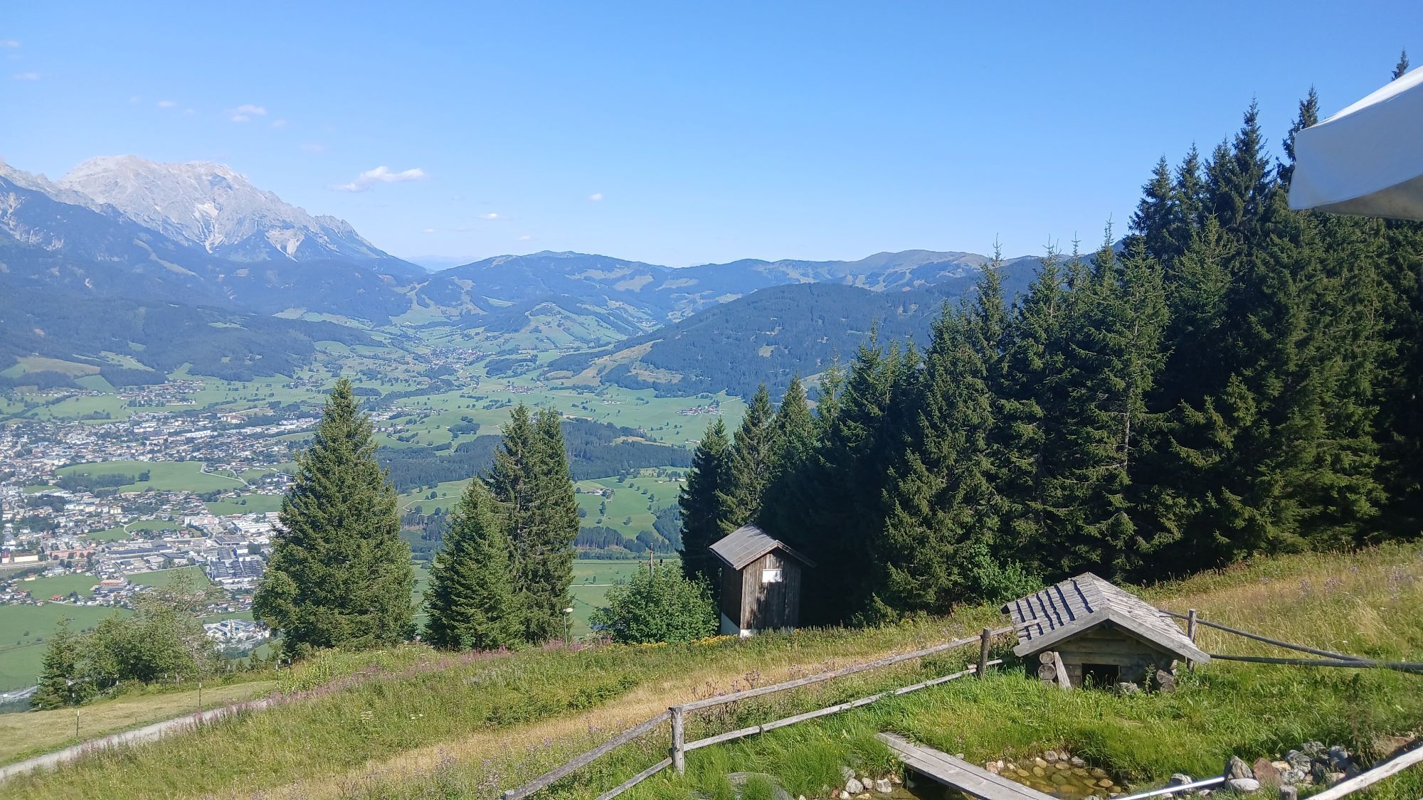
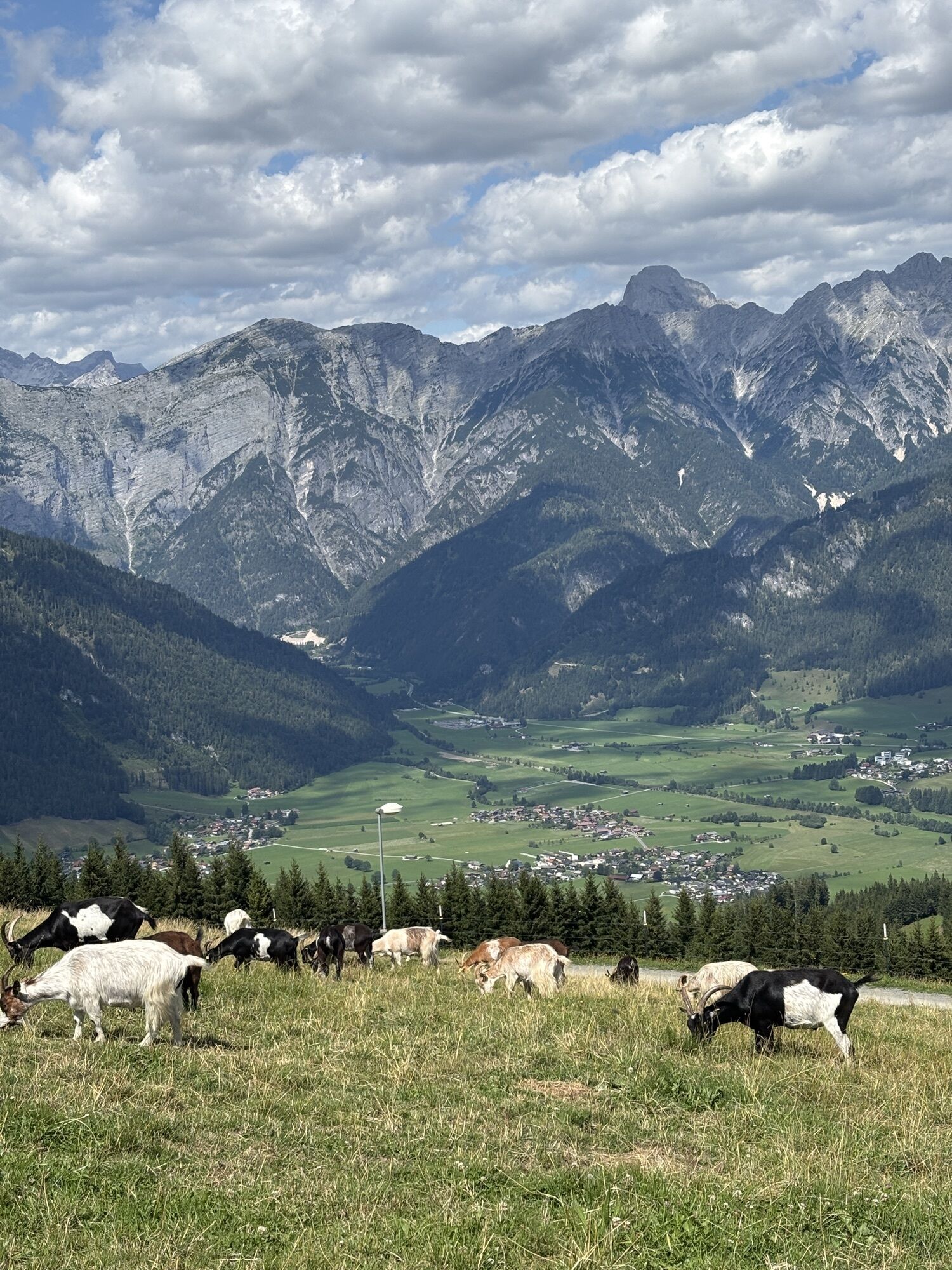
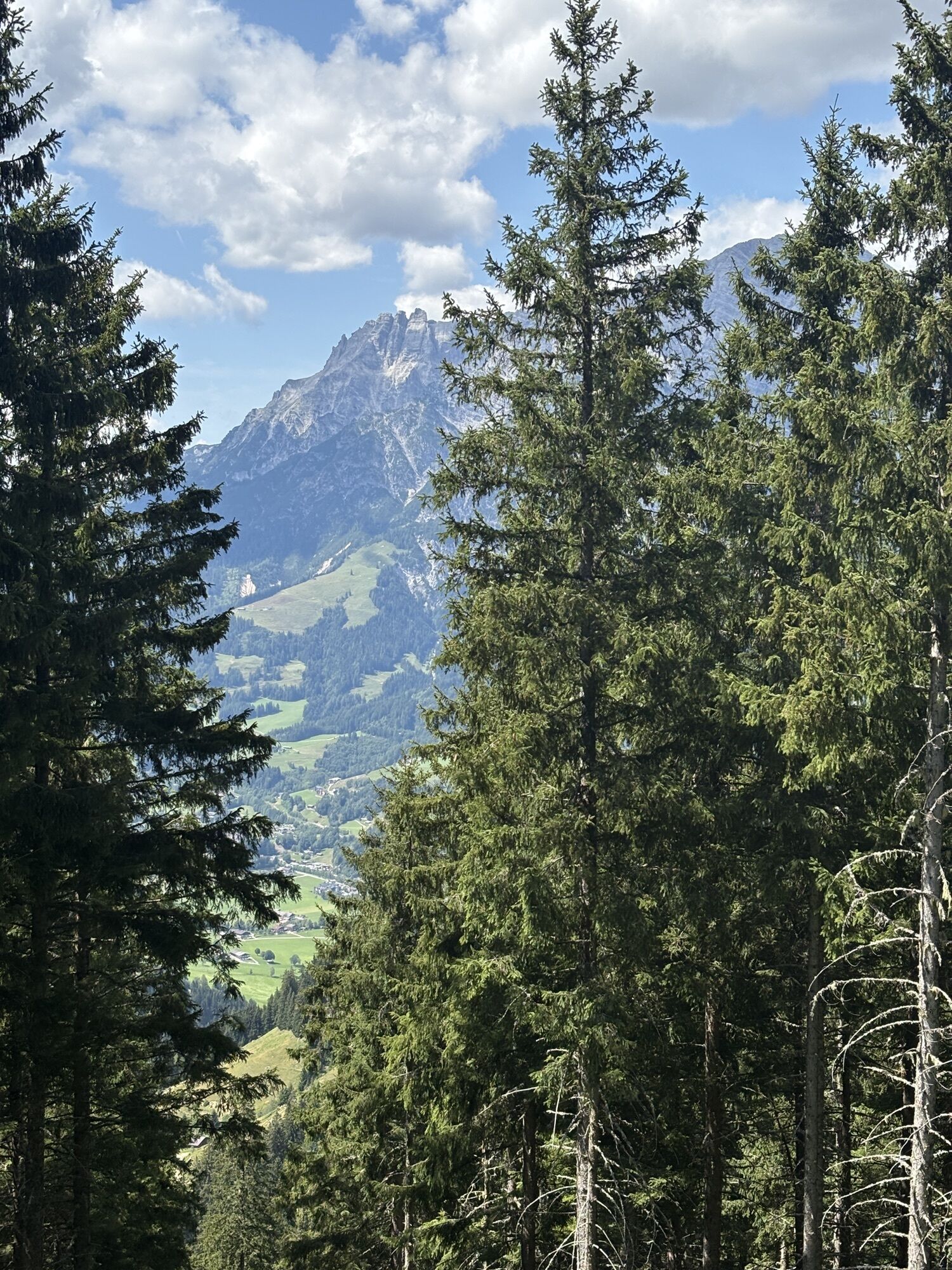
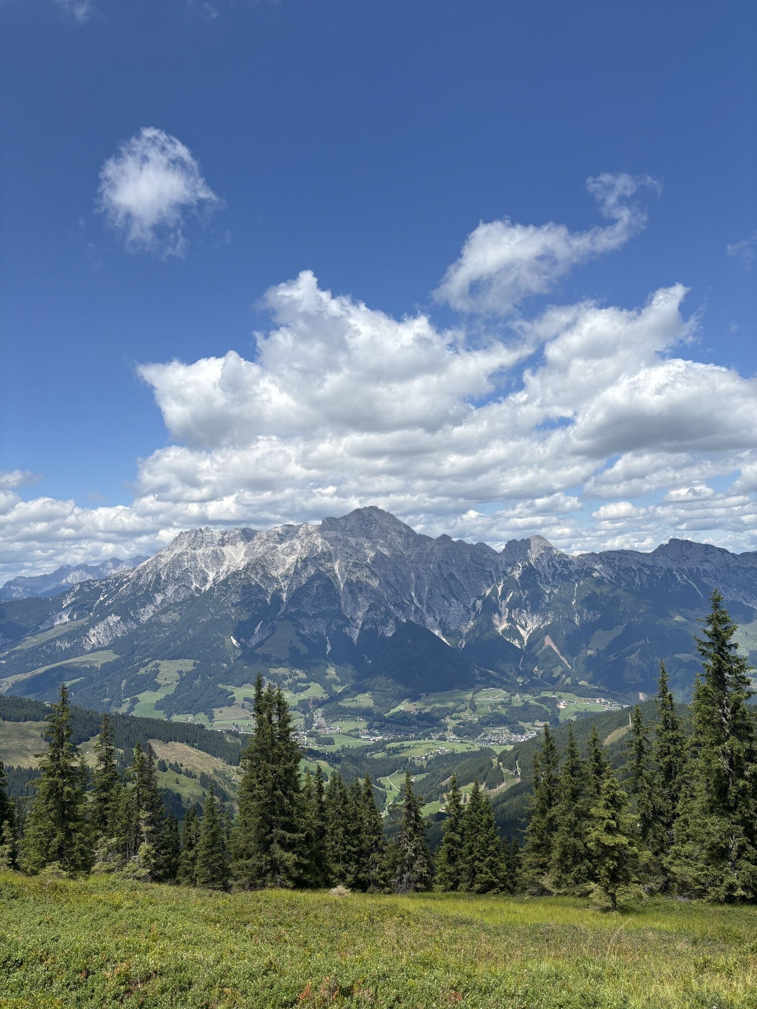
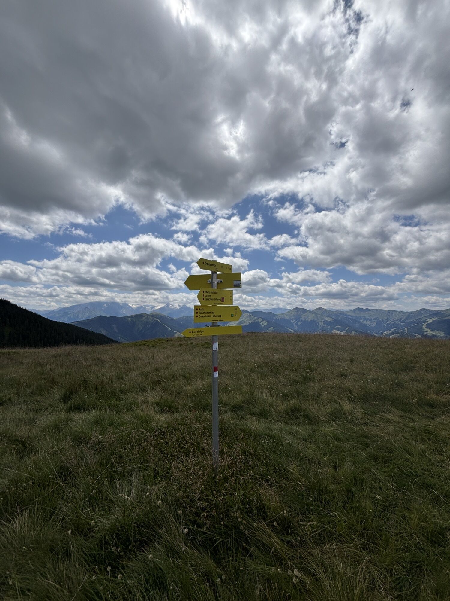
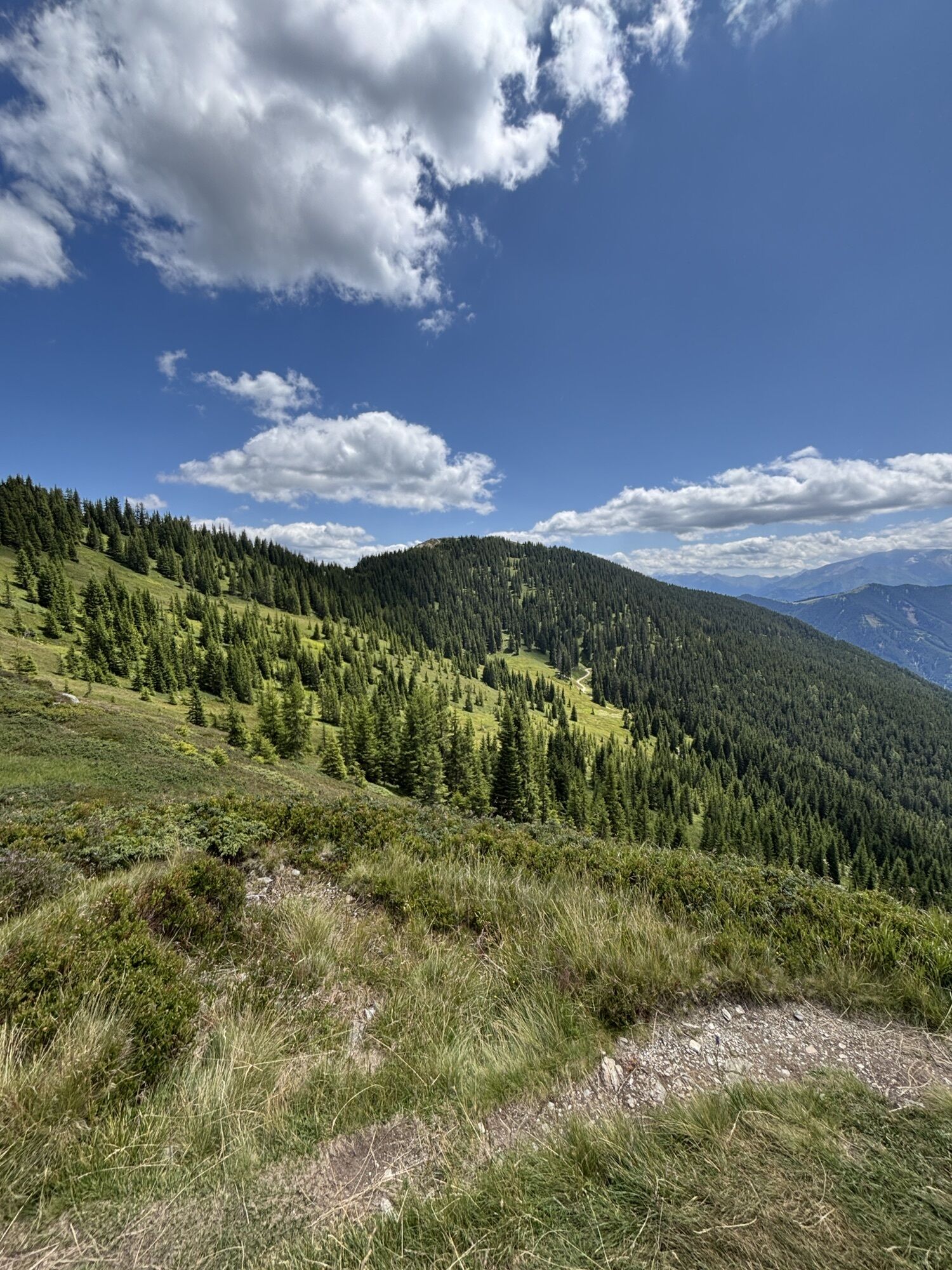
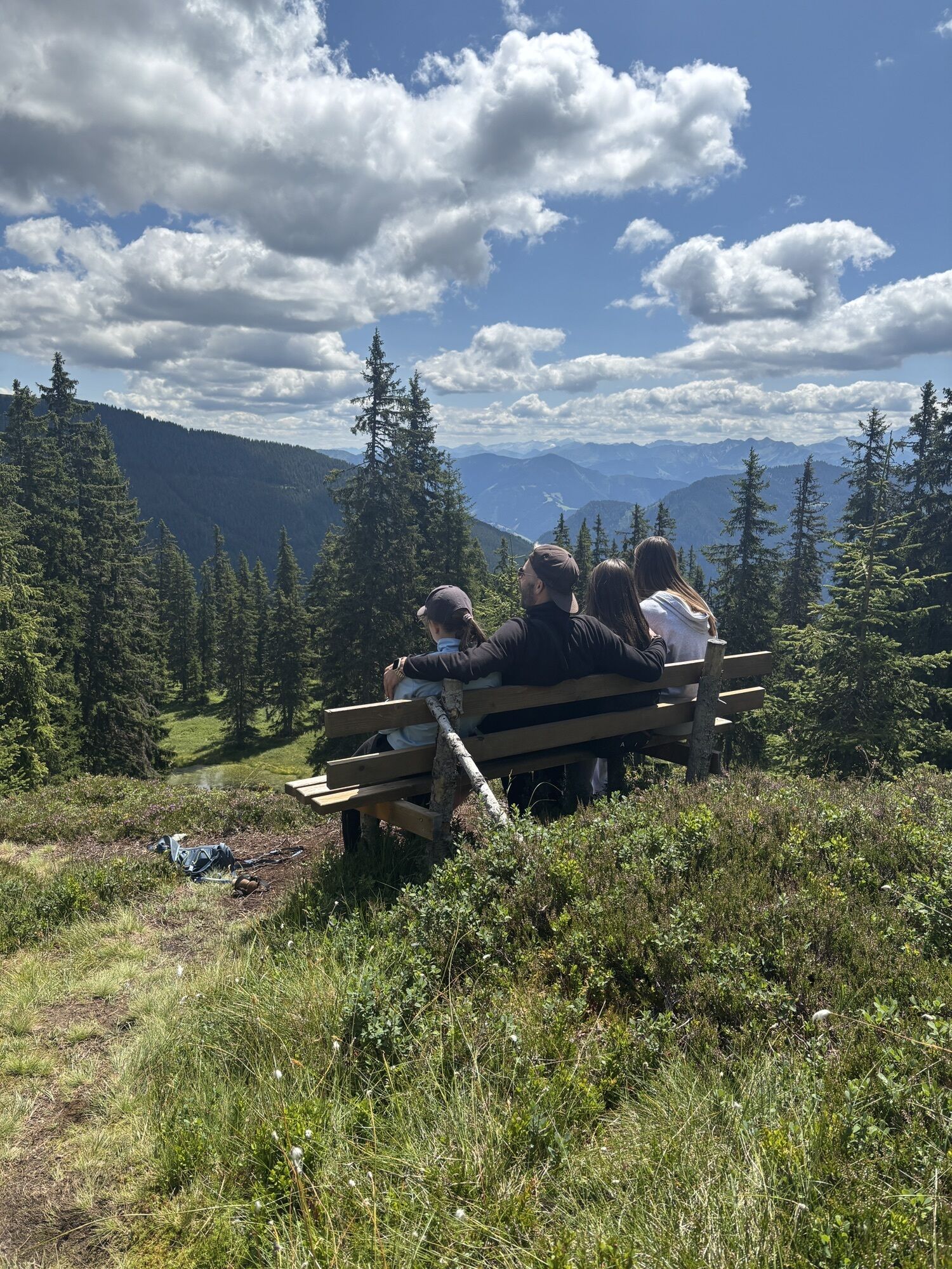
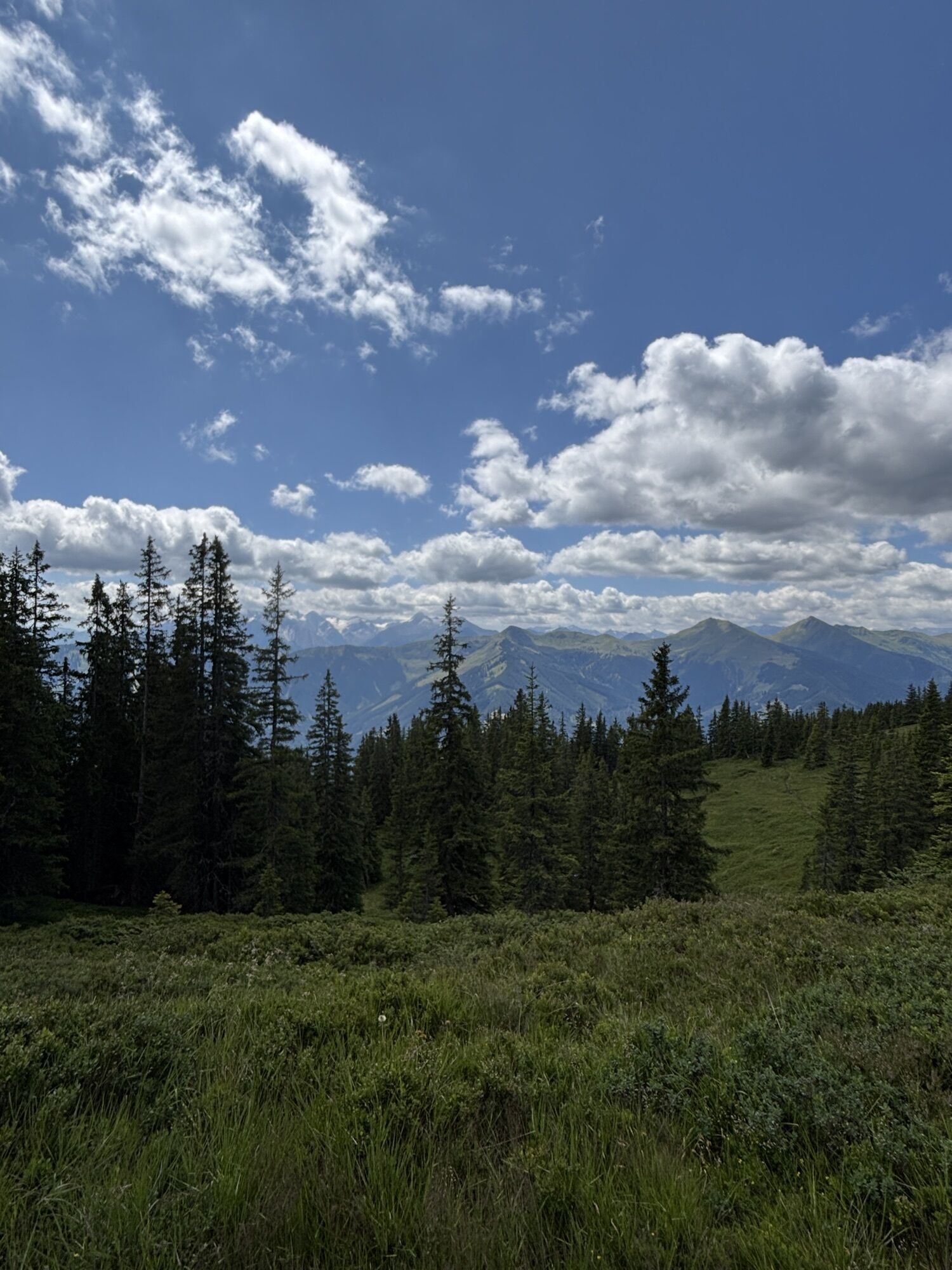
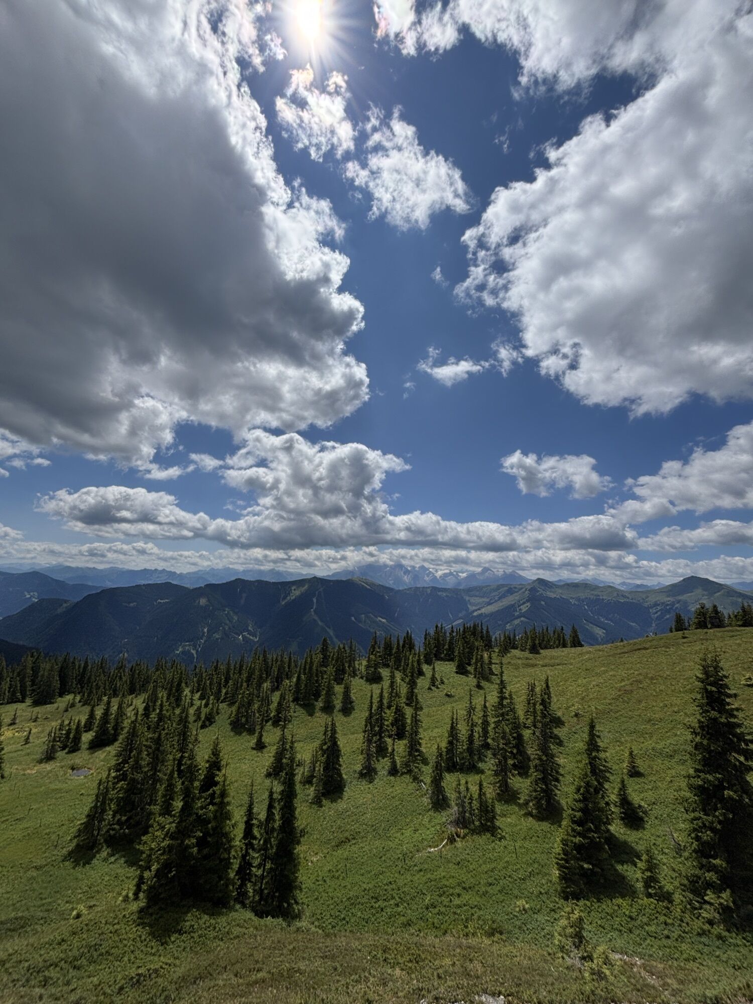
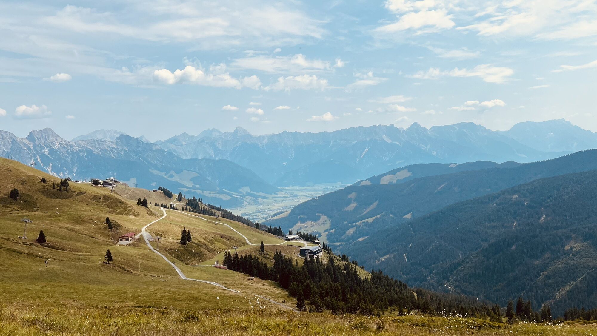
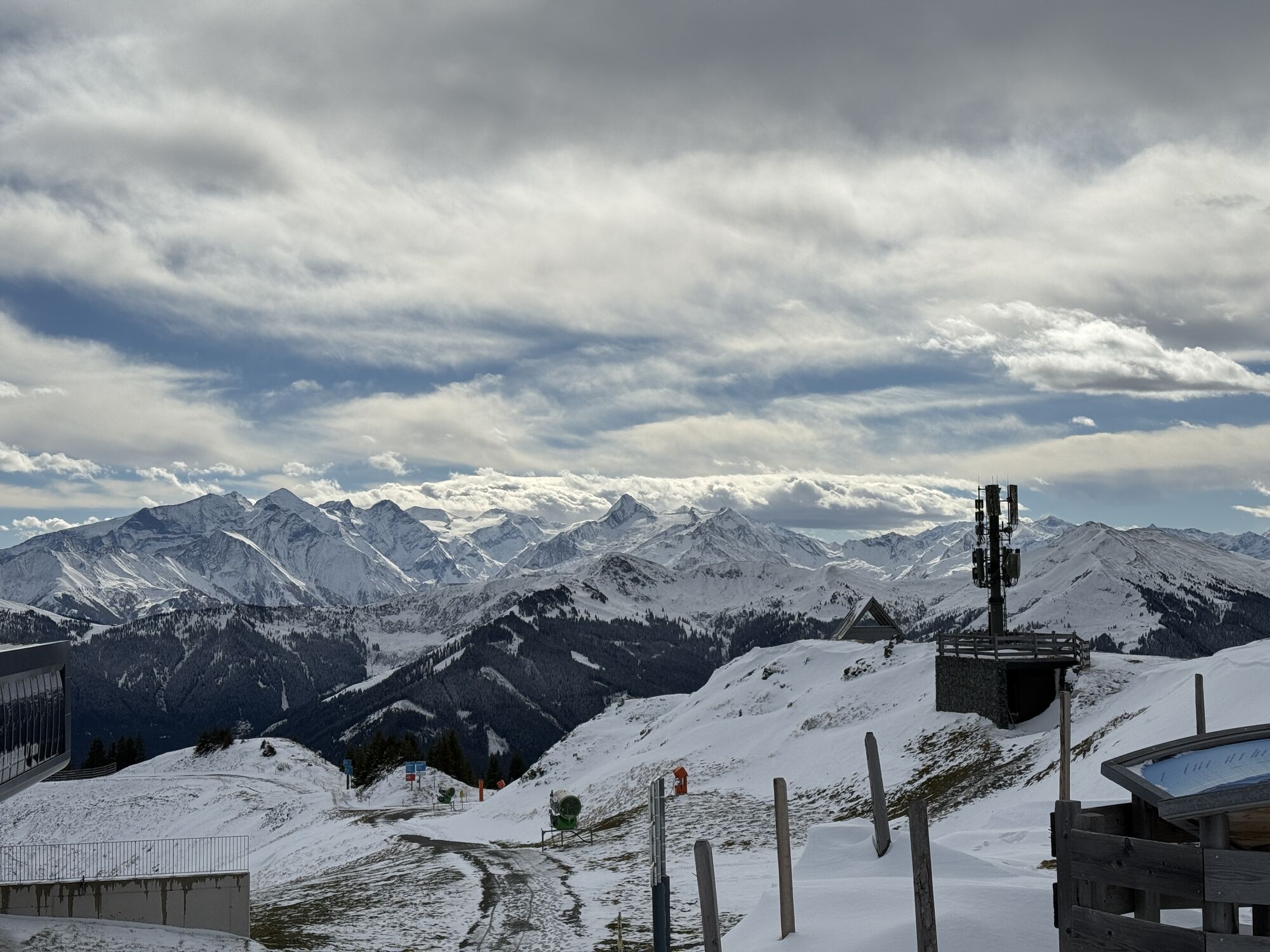
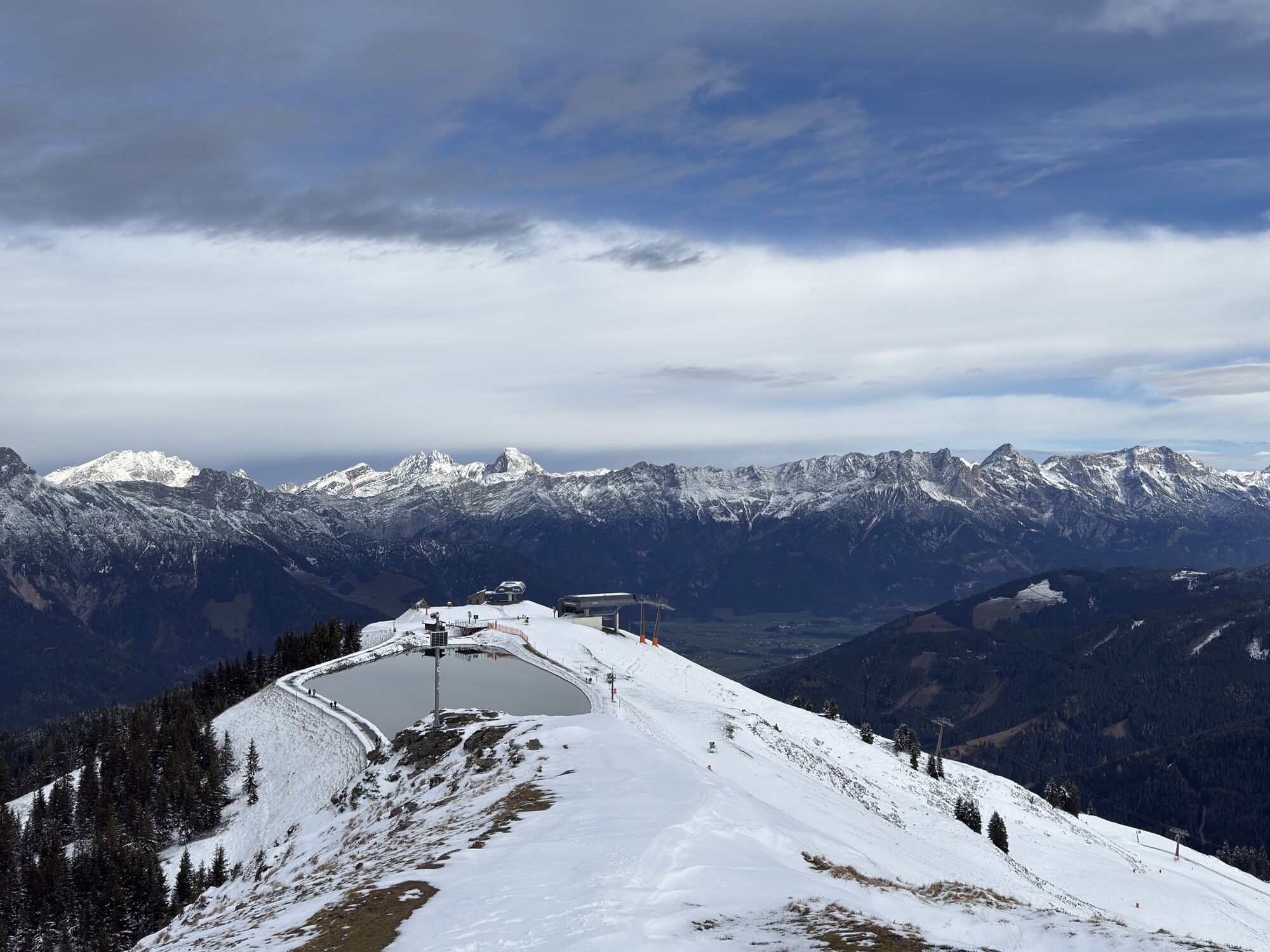
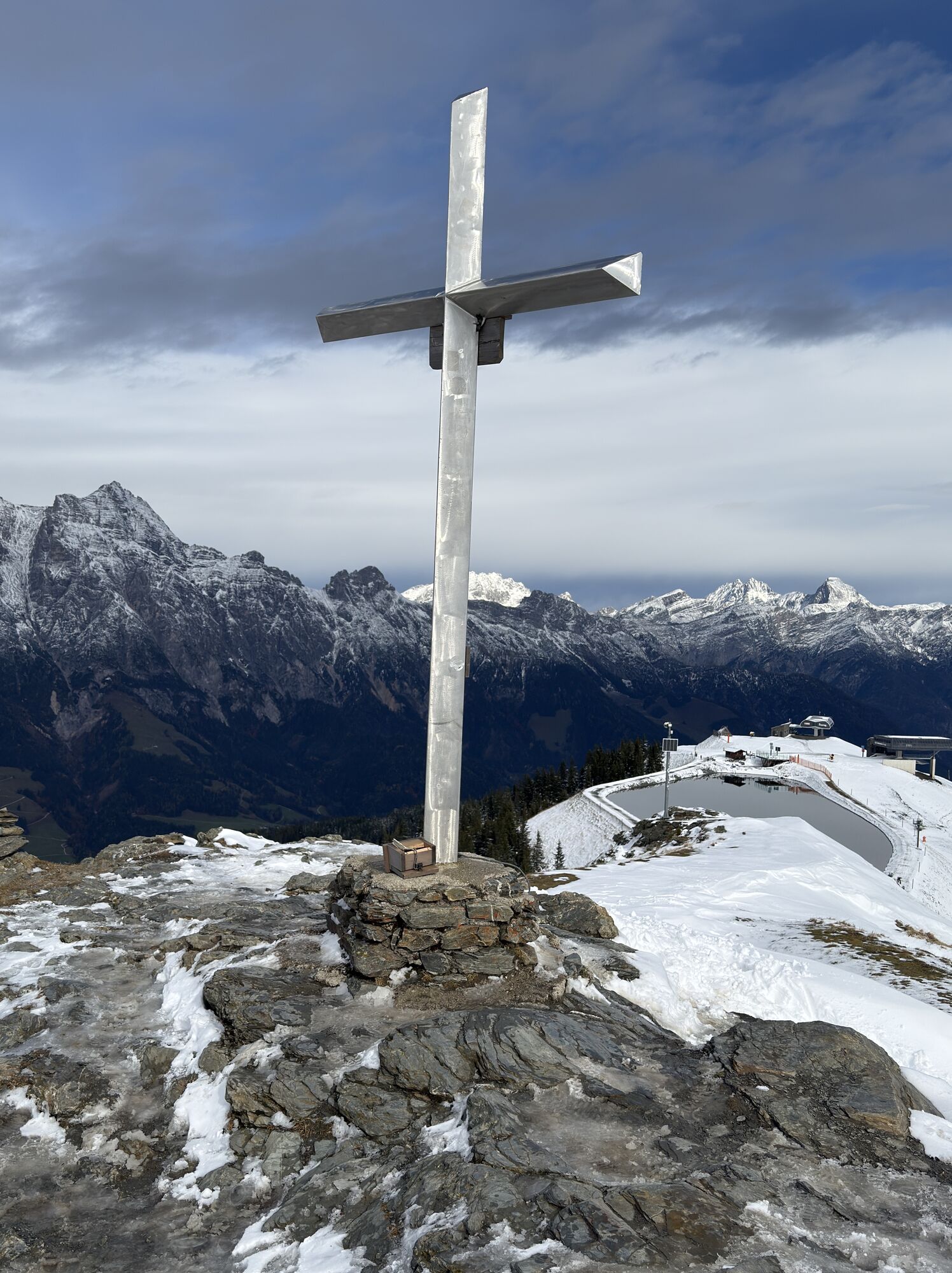
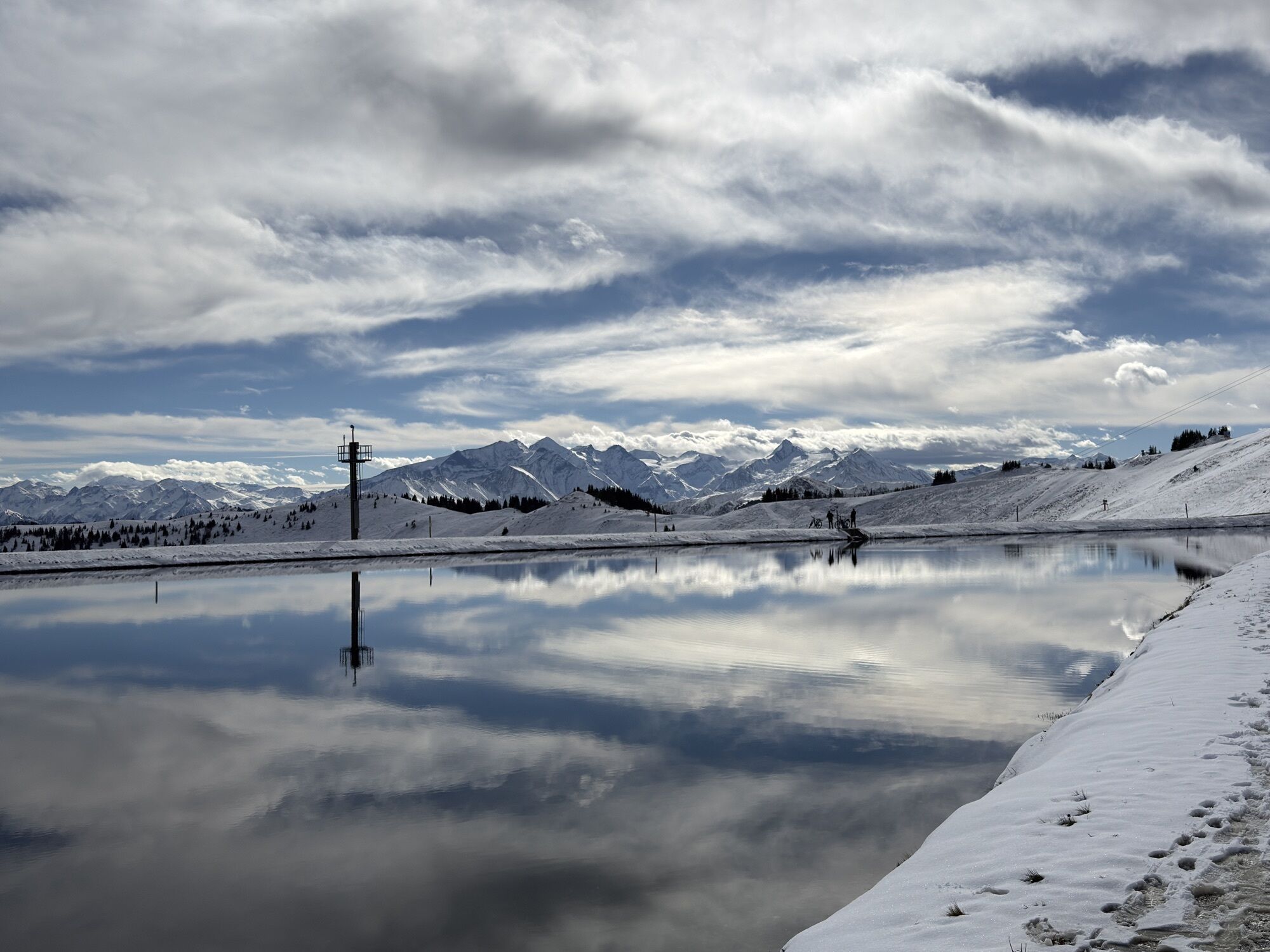
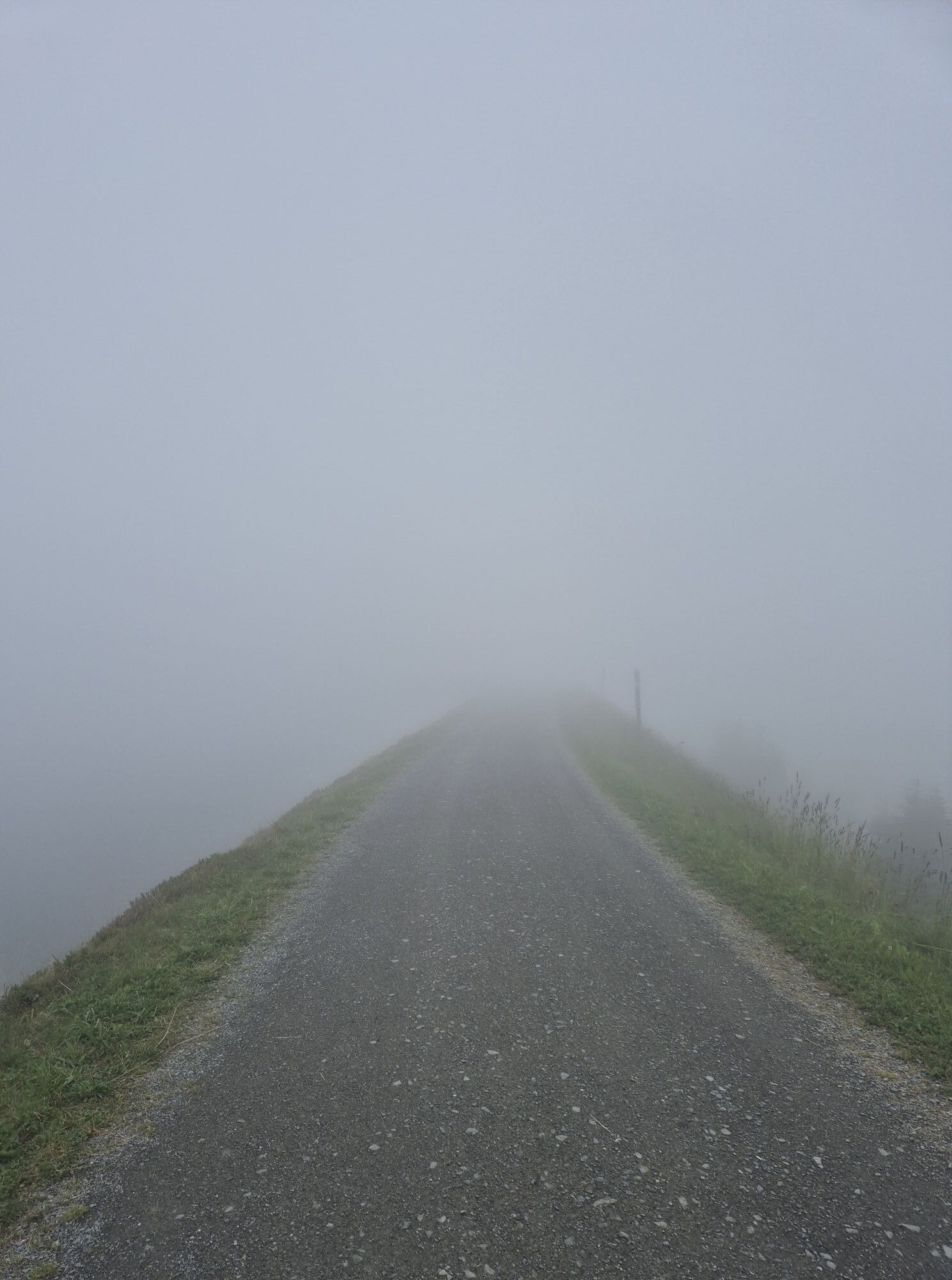
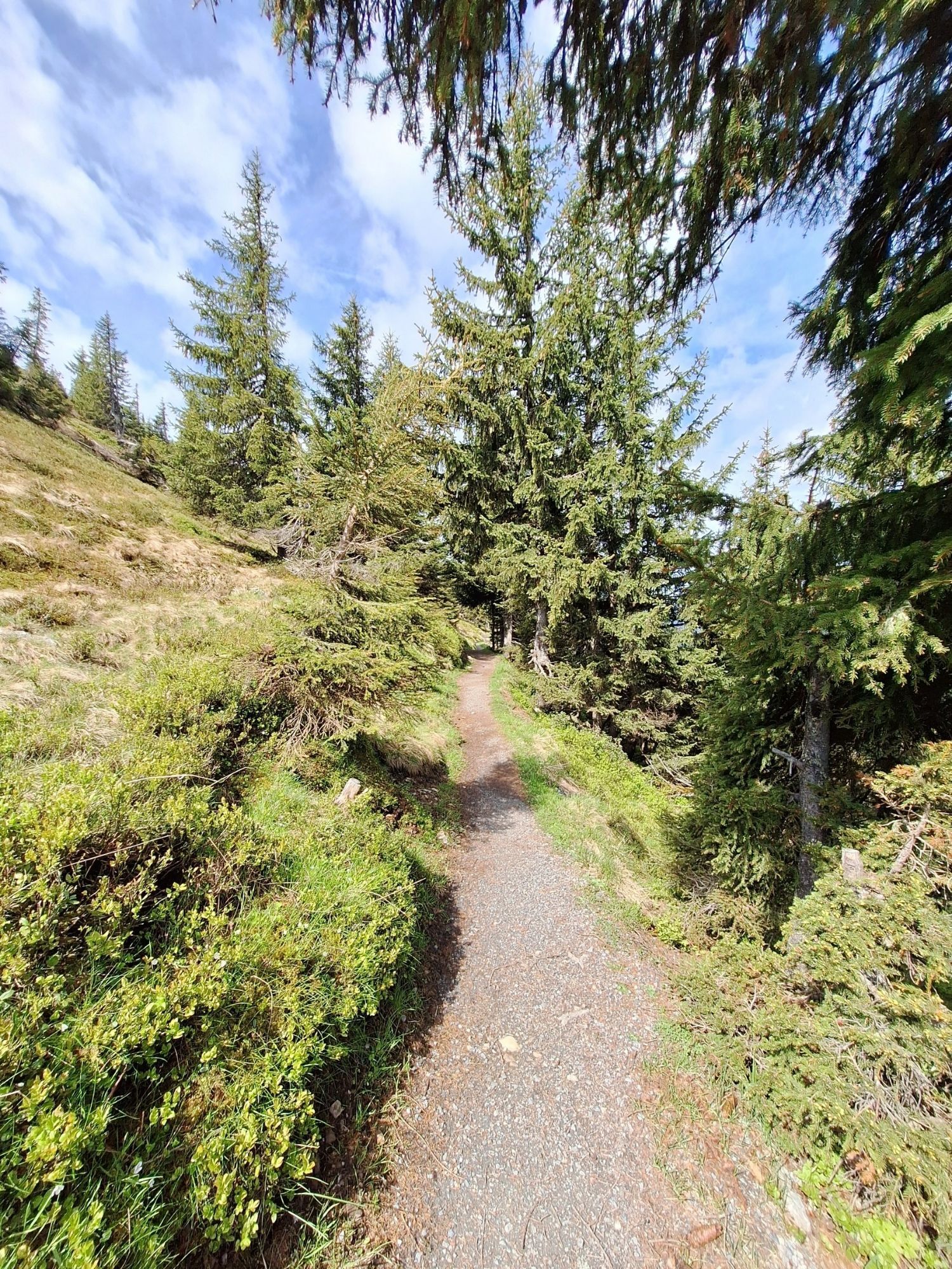

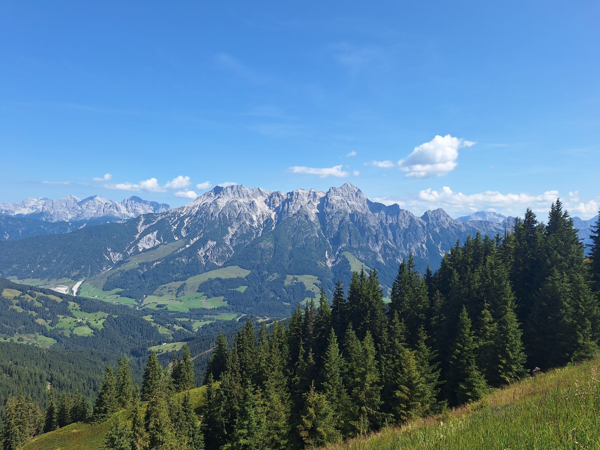
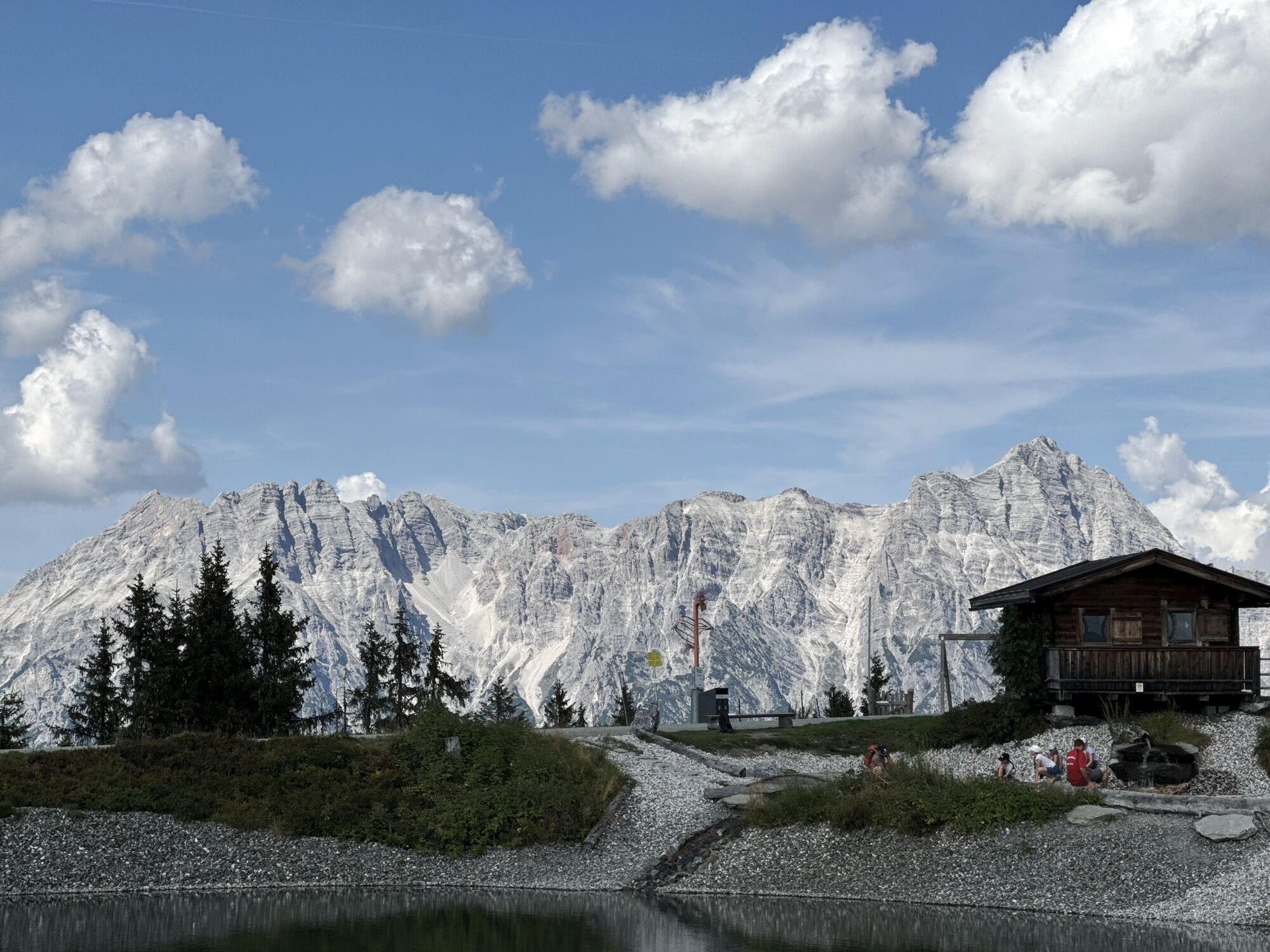
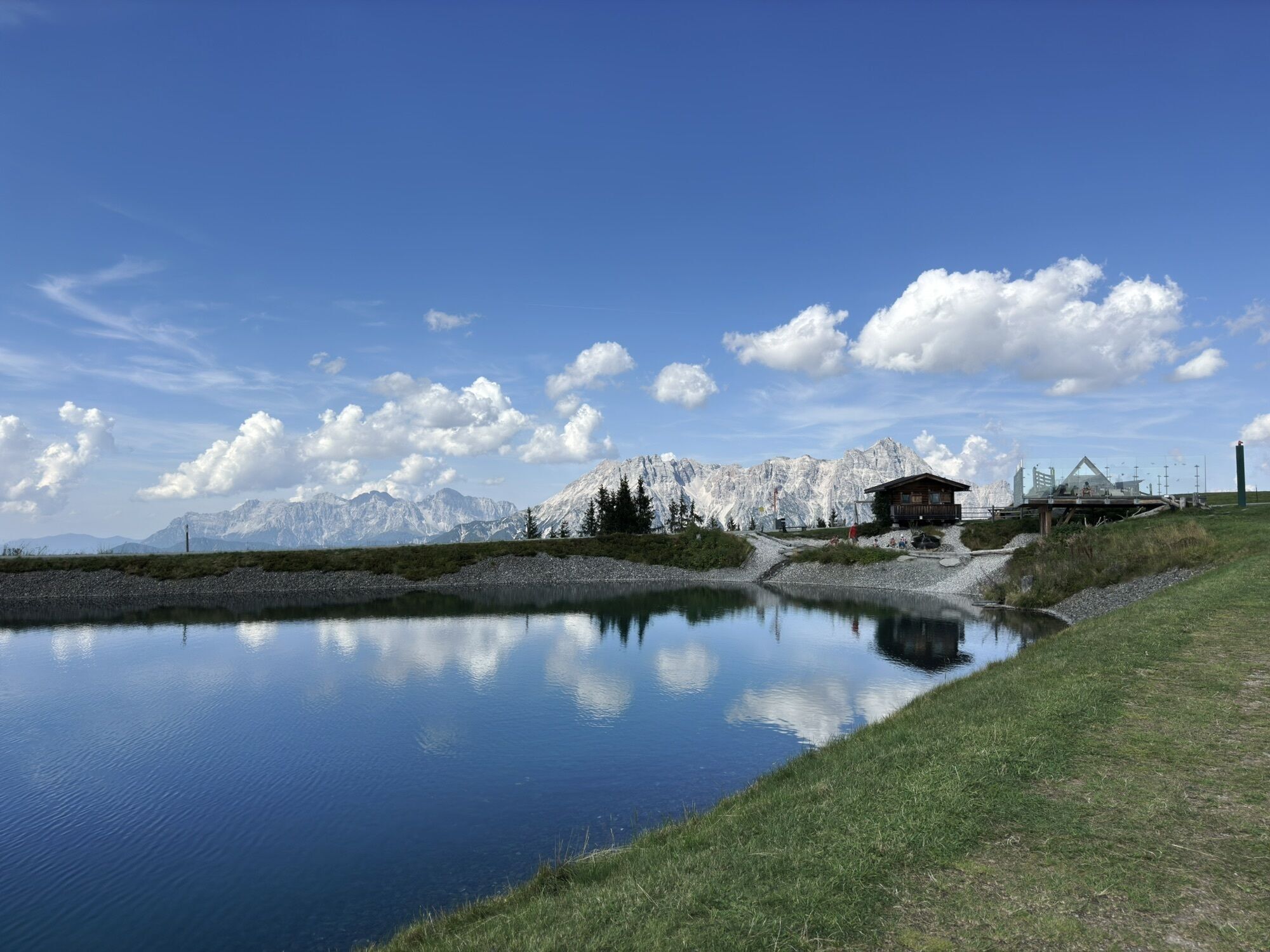
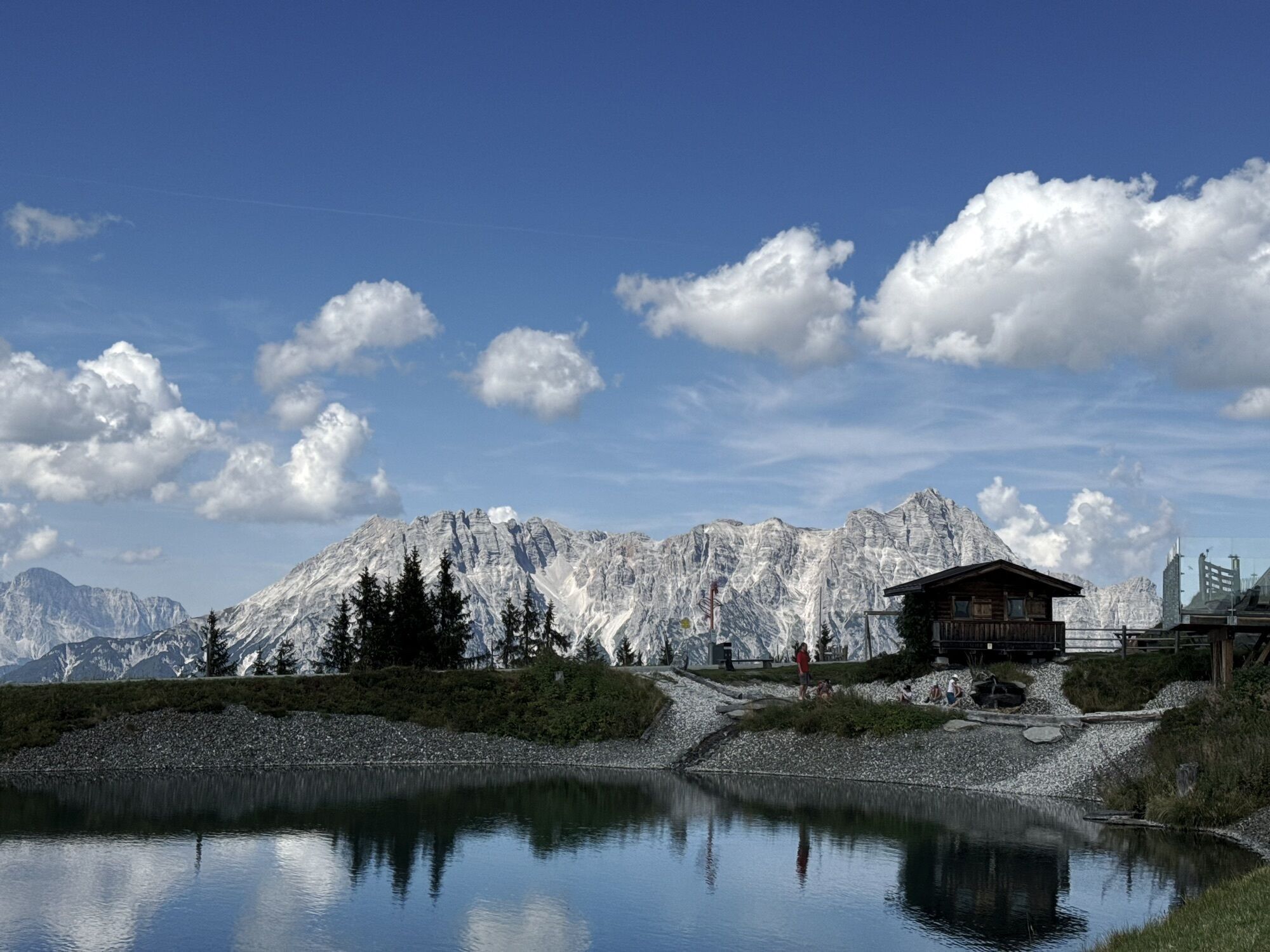
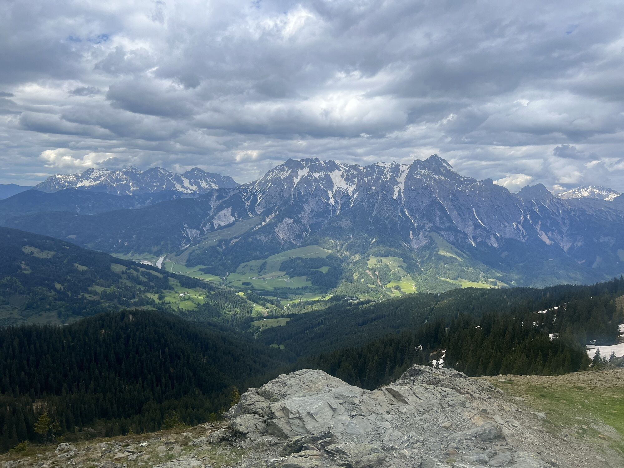
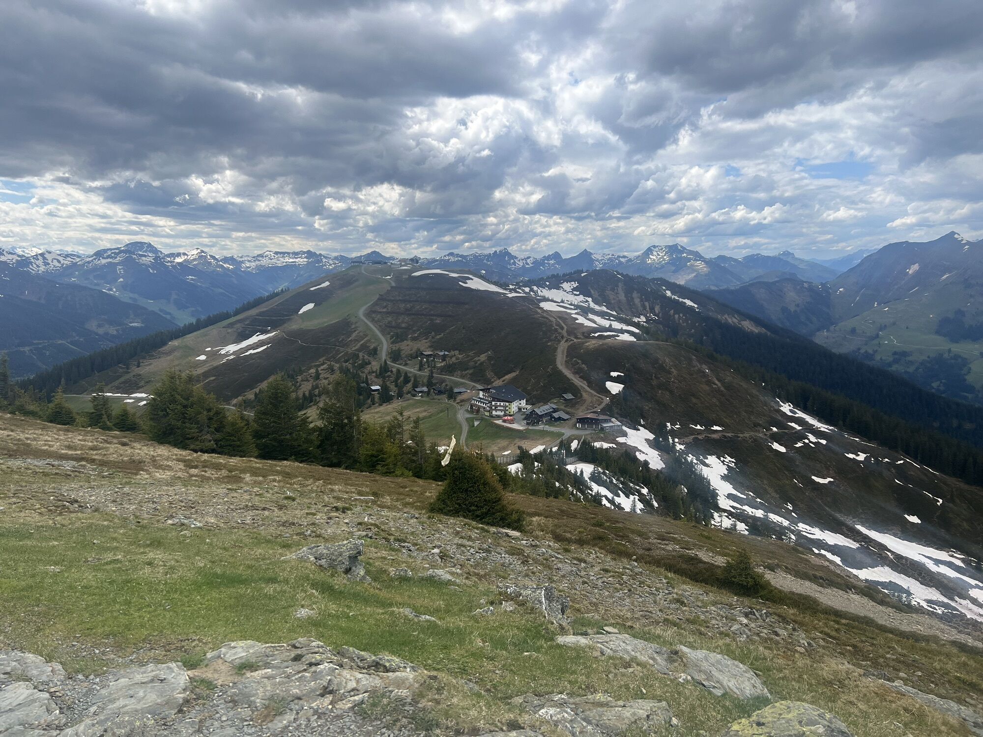
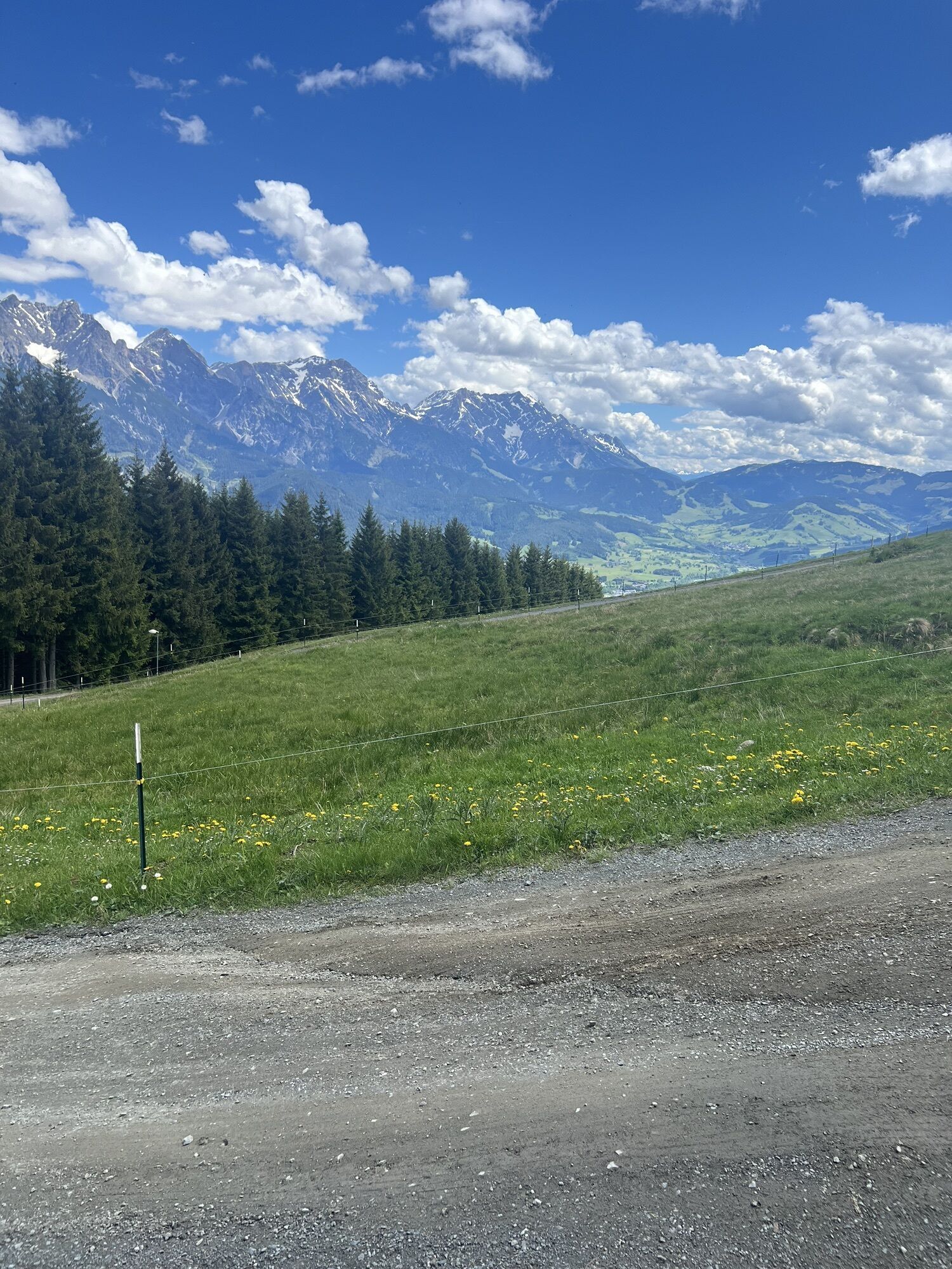
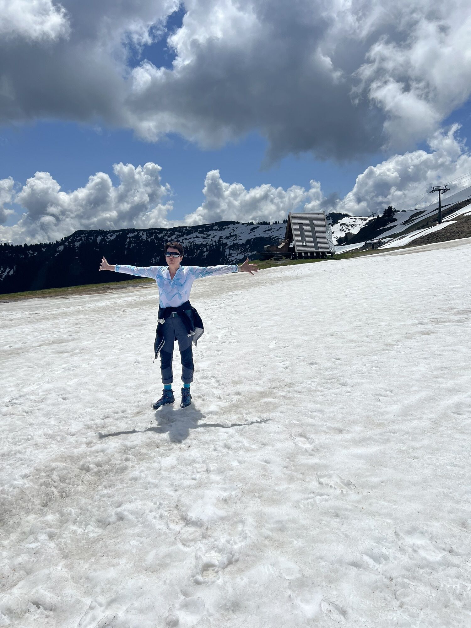
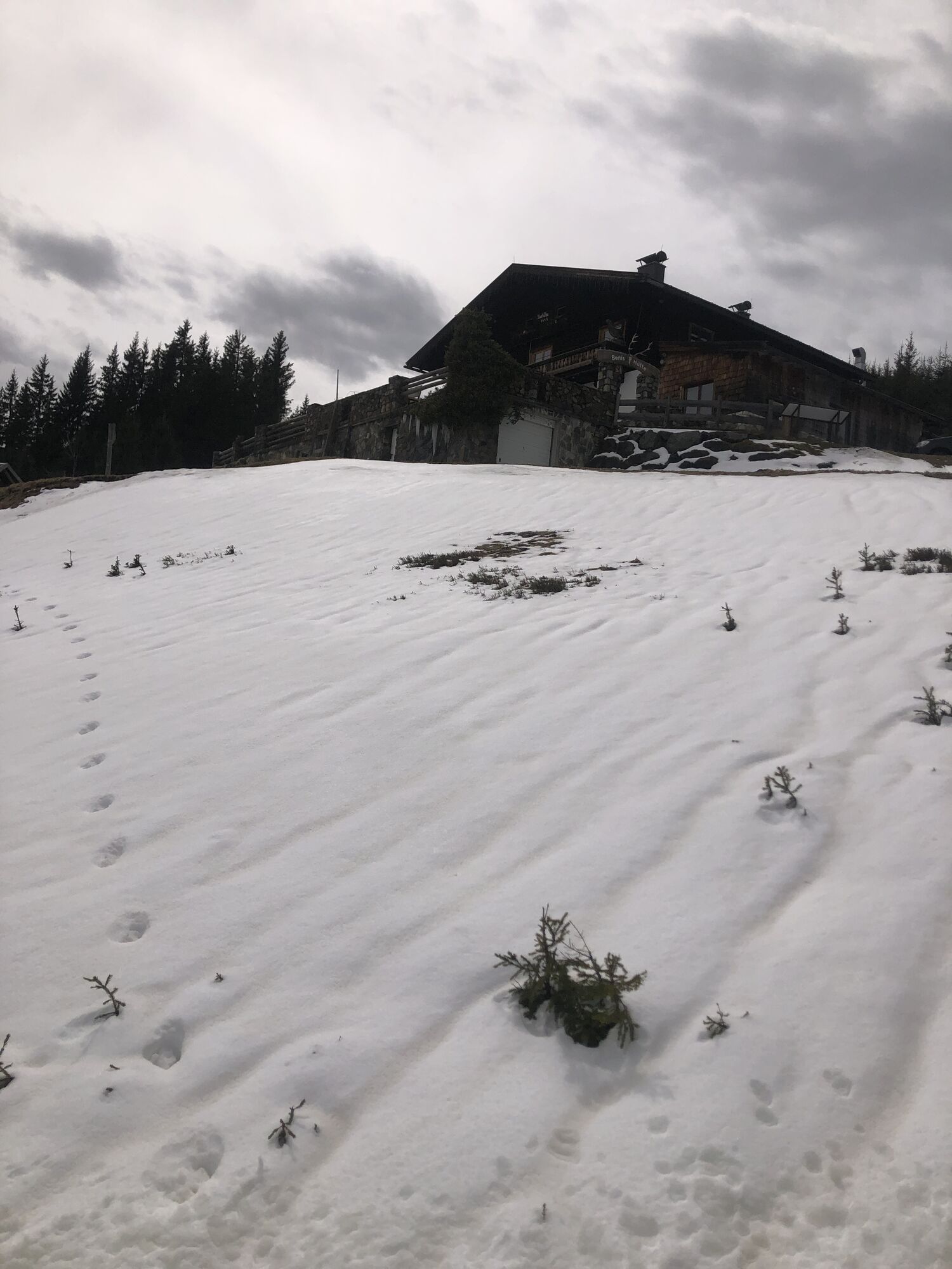
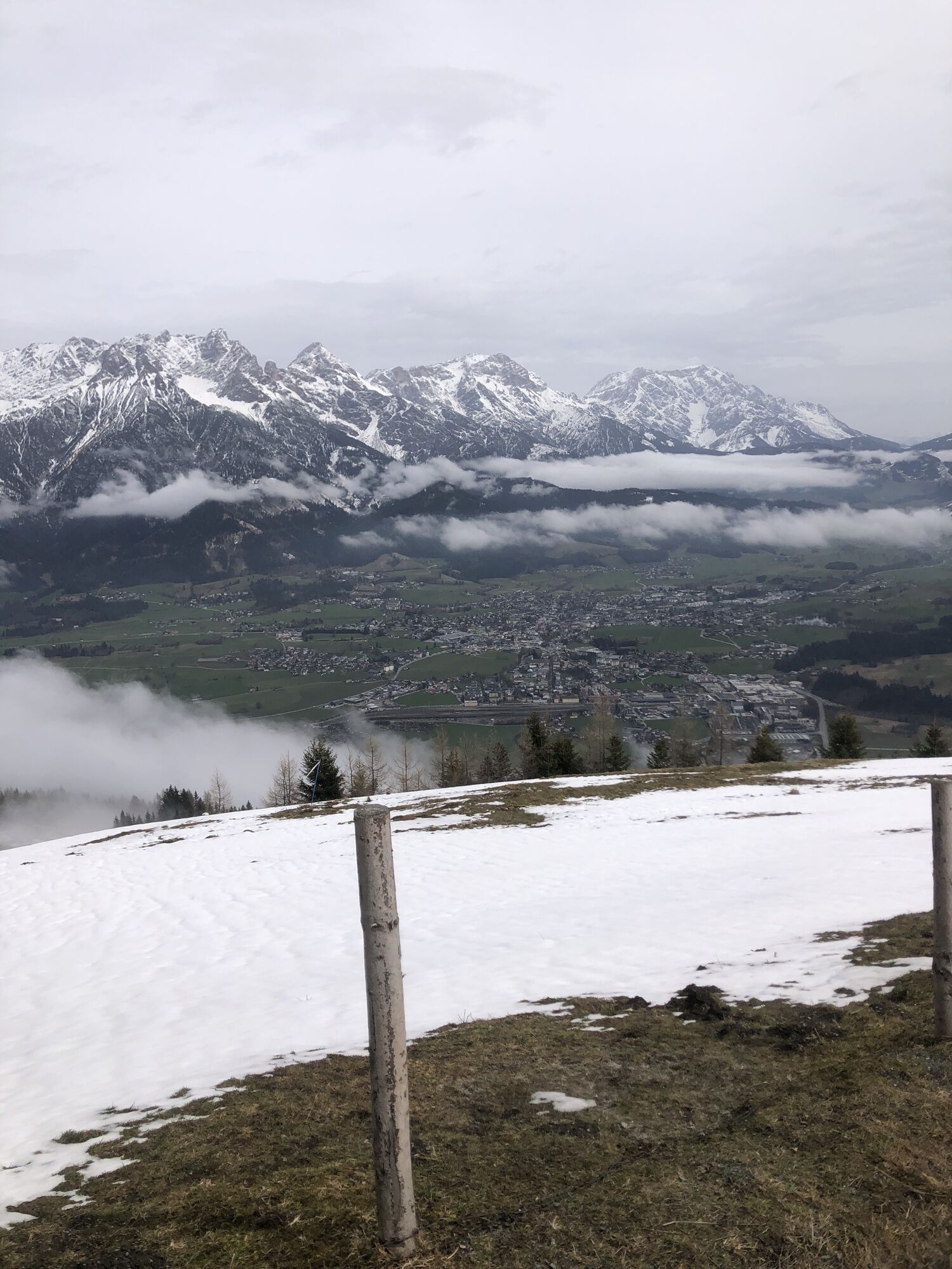
The eastern part of the Saalachtaler Höhenweg is a beautiful hike starting from the Asitz or Steinberg cable car over various peaks to the Biberg in Saalfelden. Although several hours long, it is ideal...
The eastern part of the Saalachtaler Höhenweg is a beautiful hike starting from the Asitz or Steinberg cable car over various peaks to the Biberg in Saalfelden. Although several hours long, it is ideal as a family hike due to the gentle ascents. The grand finale can be a ride down to the valley on the summer toboggan run.

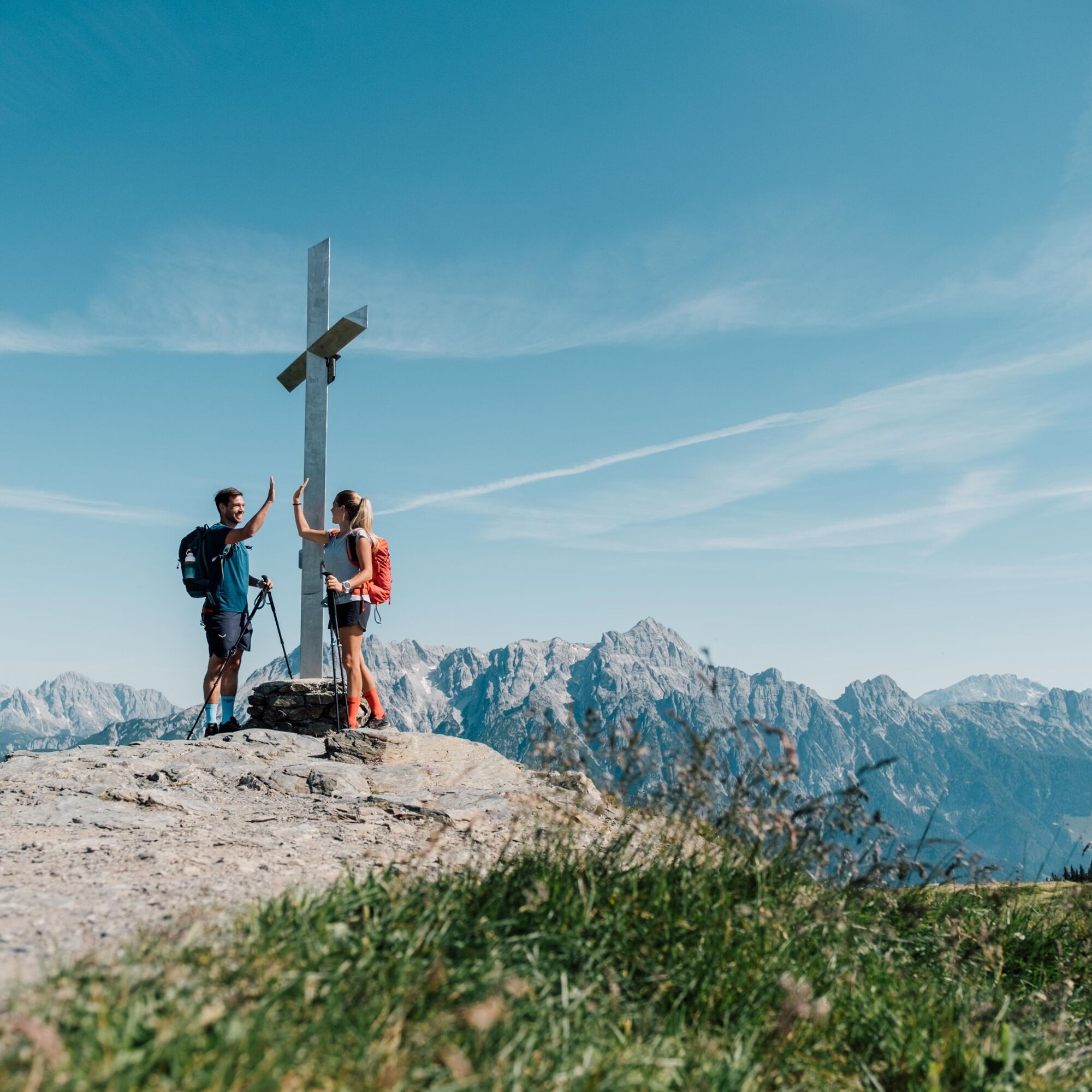
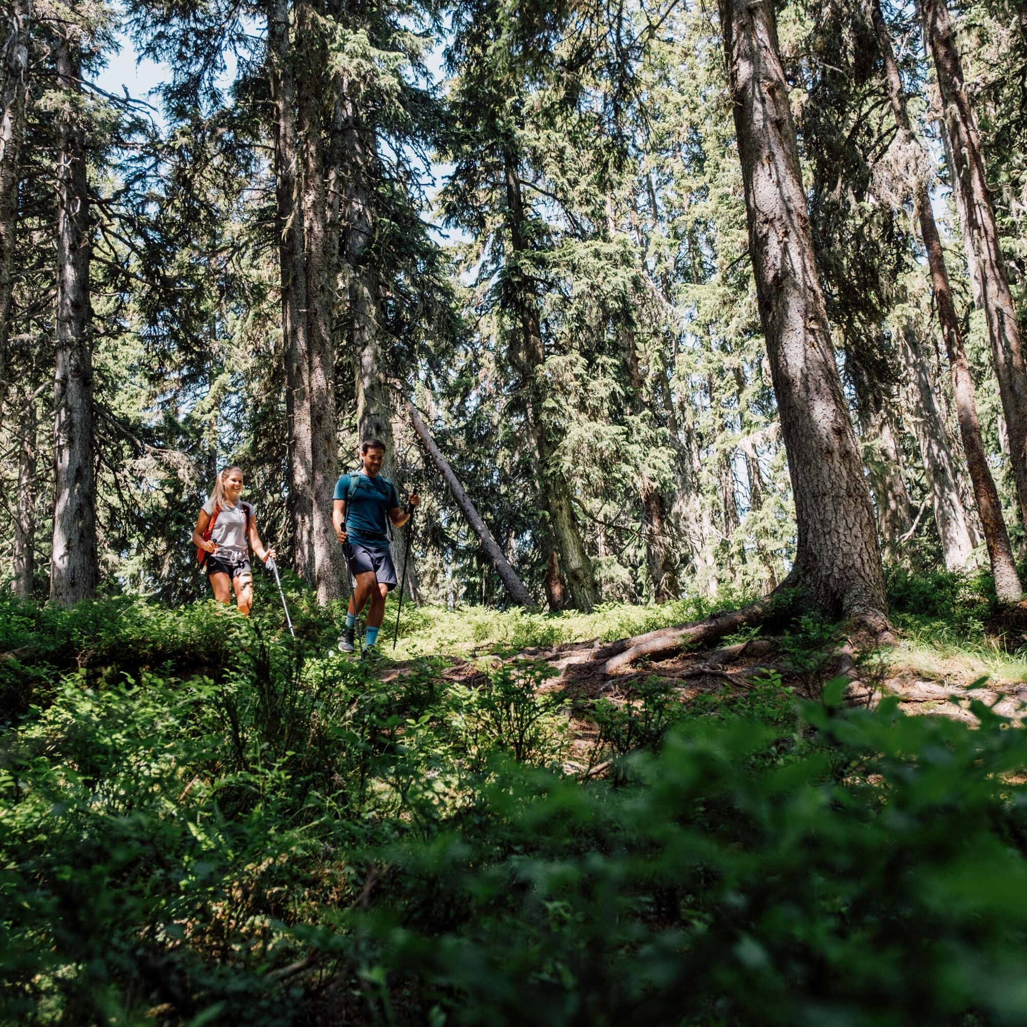
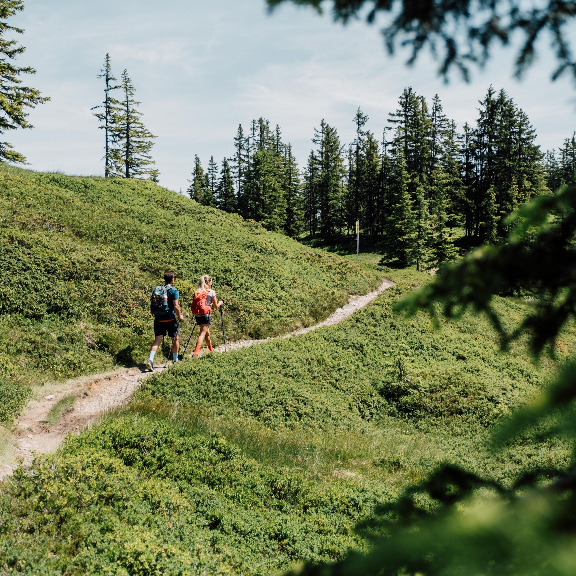
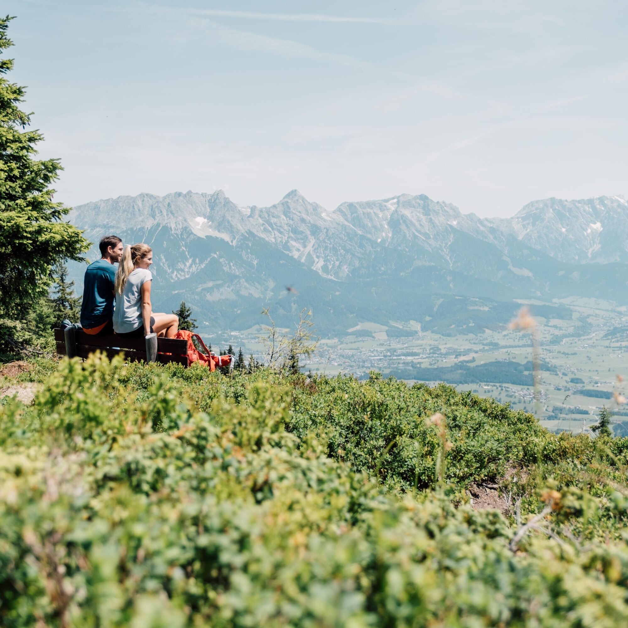

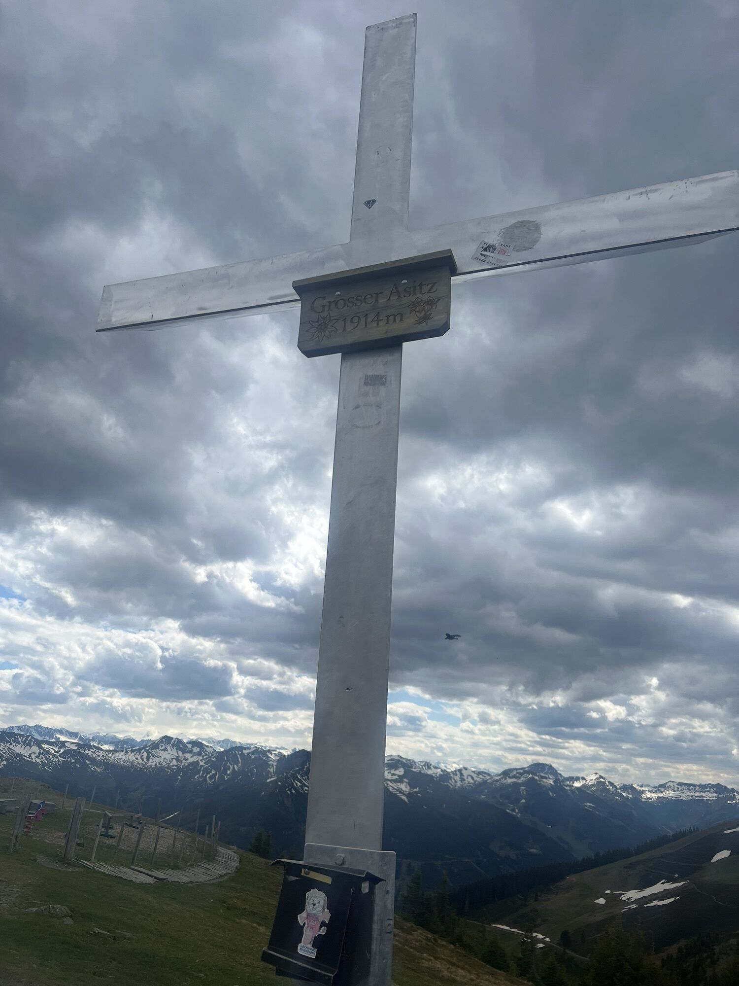
Take the Asitz or Steinberg cable car to the mountain station. From there, head west to the small Asitz and continue to the large Asitz. Then proceed southeast to Geierkogel, Lochalmköpfl, and Durchenkopf (here is a possible descent to Leogang) and continue over Weikersbachköpfl and Schultersbachhöhe to the Biberg mountain inn.
Note:Long and rewarding hike, only at the beginning and at the end is there an opportunity to stop for refreshments.
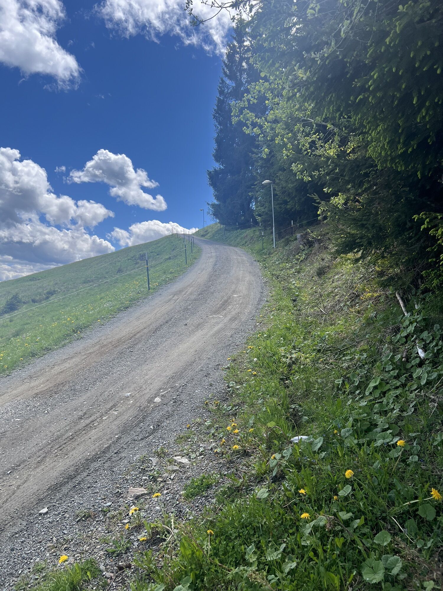
From the Biberg mountain inn, follow a wide forest road down to the Huggenberg mountain inn, from where you can take the summer toboggan run for the last section of the descent.
Tak
Tak
Tak
Hiking boots, daypack, map material, water/food
BY CAR
From Saalfelden or St. Johann in Tirol via the B 164 to Leogang. The valley station of the Asitzbahn is about 4 km from the town center in the direction of Hochfilzen. From here, take the Asitzbahn to the mountain station and start the hike there.
BY TRAIN
You can enjoy your holiday from the start by train. No traffic jam can stop you from coming to Saalfelden Leogang! Furthermore, the ÖBB timetable helps you quickly and easily find the ideal train connection to Leogang station: www.oebb.at (about 30 minutes on foot to the starting point)
BY BUS
The starting point at the valley station of the Leogang Asitzbahn can be reached by Postbus from the town center of Saalfelden or Leogang. From the "Leogang Asitzbahnen" bus stop, the starting point is reachable on foot within a few minutes. Further information is available at https://fahrplan.salzburg-verkehr.at/
Parking spaces are available at the valley station of the Asitzbahn (Hütten 39, 5771 Leogang)
Opportunities for refreshments:Alte Schmiede, Asitzbräu, Biberg mountain inn, Huggenberg mountain inn, Bockareitstubn.
PLEASE NOTE: No opportunity for refreshments between Asitz and Biberg. Sufficient water and food should be carried along.
Fast downhill with the summer toboggan run
The summer toboggan run at the Huggenberg mountain inn is the perfect finale for a family hiking day. 1,600 m and 63 curves guarantee absolute tobogganing fun. More at www.biberg.at



Kamery internetowe z trasy
Asitz Gipfel
Berghotel Seidl-Alm
Asitz Mittelstation
Kohlmais Tal
Asitz Talstation
Leogang
Saalfelden
Großer Asitz / Gipfelkreuz
Leogang Schanteilift
Saalbach-Hinterglemm - Wildenkarkogel
Wildenkarkogel
Talstation Asitzbahn
Maishofen Sausteige
Saalbach-Hinterglemm - Kohlmais
Leogang - Grosser Asitz
zellamseeXpress

Aktywności na trasie

Leogang, Salzburg/Österreich
03.10.2026 – WędrówkaLeogang, Salzburg/Österreich
24.05.2026 – Wędrówka
Saalfelden am Steinernen Meer, Salzburg/Österreich
05.05.2026 – Wycieczki górskieLeogang, Salzburg/Österreich
11.09.2025 – WędrówkaLeogang, Salzburg/Österreich
19.08.2025 – Wędrówka
Leogang, Salzburg/Österreich
16.08.2025 – Wędrówka
Popularne wycieczki w okolicy
- 4,4
Maria Alm - Riemannhaus
Wędrówka 3,99 km - 4,6
Seisenberg Gorge
światłoWędrówka 2,41 km - 4,4
Schwalbenwand Nr. 80, 81, 82
średniWędrówka 13,0 km - 4,6
Peter-Wiechenthaler Hut
średniWędrówka 4,32 km - 4,6
Steinalm
światłoWędrówka 2,71 km - 4,8
Breithorn
średniWędrówka 10,0 km - 4,3
Persailhorn South via ferrata
średniVia ferrata 6,83 km - 4,2
Maurerkogel (Top)
Wędrówka 10,5 km - 4,7
Panorama route 3 peaks and 2 lakes
średniWędrówka 7,21 km - 5,0
Leo’s play hiking trail
światłoTrasa tematyczna 4,89 km
Wędrówki i tropienie


Nie przegap ofert i inspiracji na następne wakacje
Twój adres e-mail została dodana do listy mailingowej.





