


Saualpe: hike to the Zechhütte
Poziom trudności: 1
Anyone who also likes to walk on cleared winter paths in winter with hiking shoes will find just the right thing here. From the Gießelhütte guesthouse, it mostly goes along the natural toboggan run up...
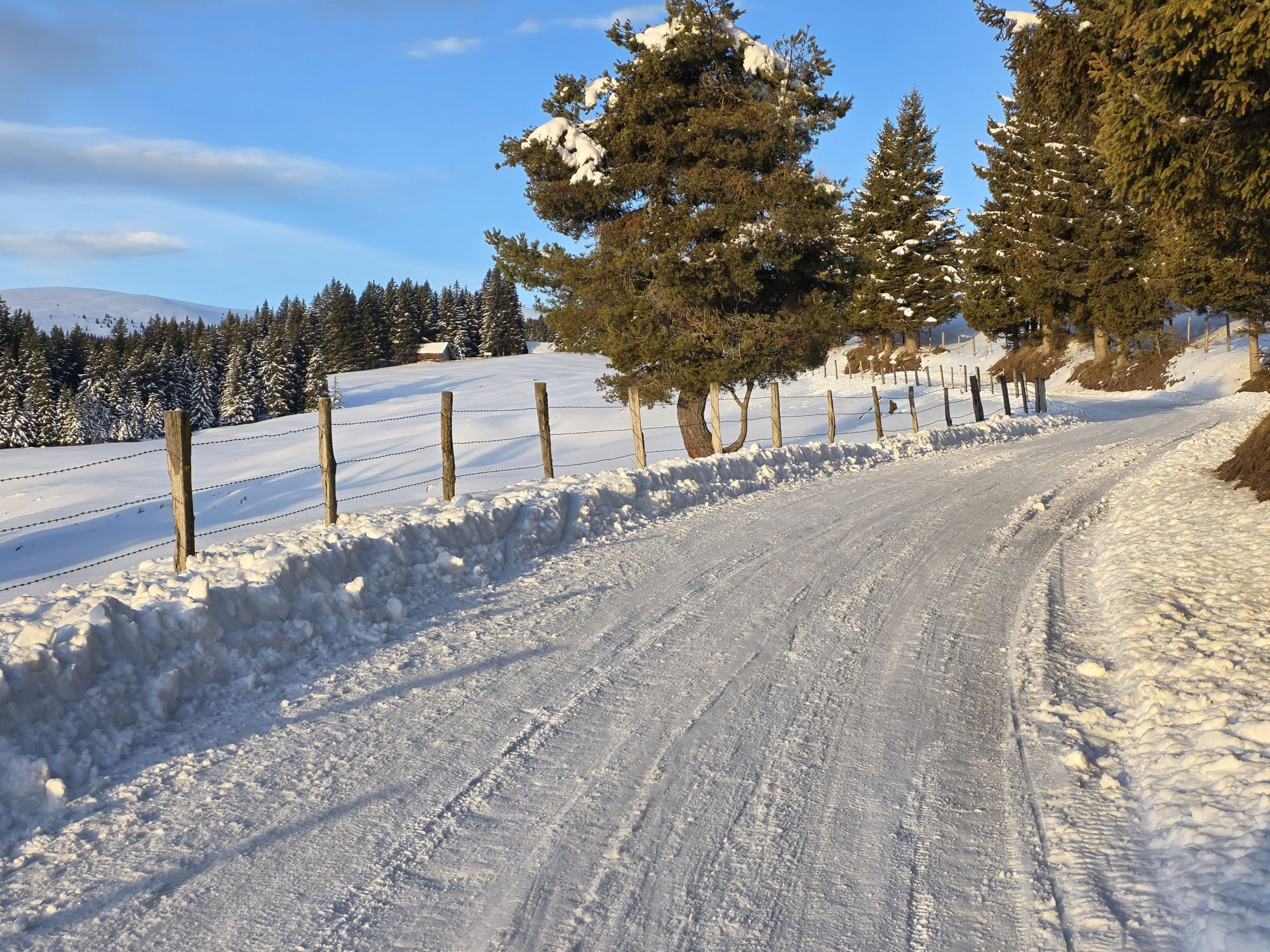
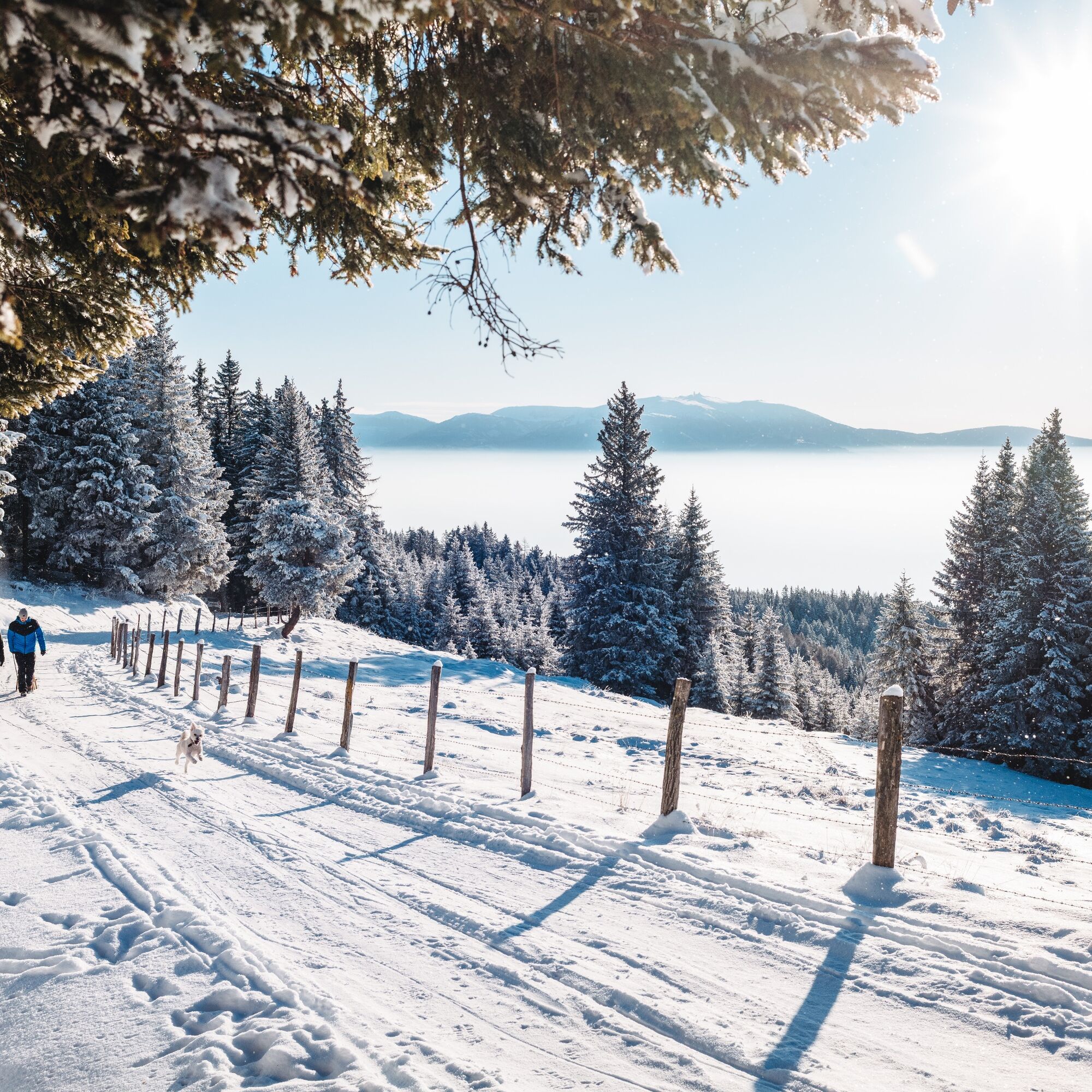
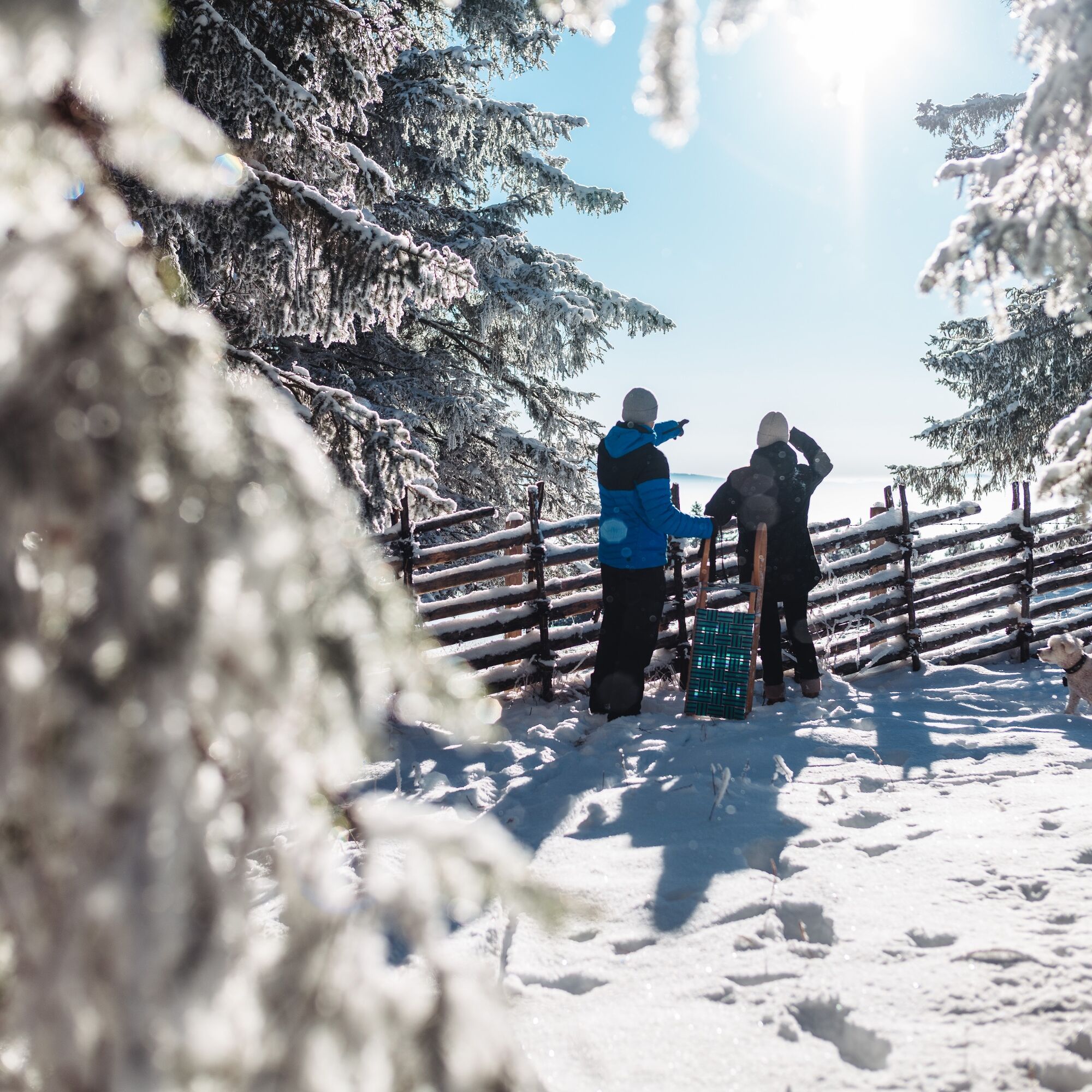
Anyone who also likes to walk on cleared winter paths in winter with hiking shoes will find just the right thing here. From the Gießelhütte guesthouse, it mostly goes along the natural toboggan run up to the Zechhütte at 1500 meters. Those who find the route too short can continue up to the Wolfsberger Hütte at 1827 m. From the Zechhütte, however, the gravel road is not always cleared. If there is enough snow, it is worthwhile to take a sled for the return trip. This wonderful, not too steep, and family-friendly natural toboggan run is winter fun for the whole family. Sled rental available at the Gießelhütte. The Zechhütte is also mostly open in winter.
Warning: Since it is a natural toboggan run, the path can also be partially icy in winter. Be careful when ascending or returning with or without a sled. Use and sledding at your own risk.

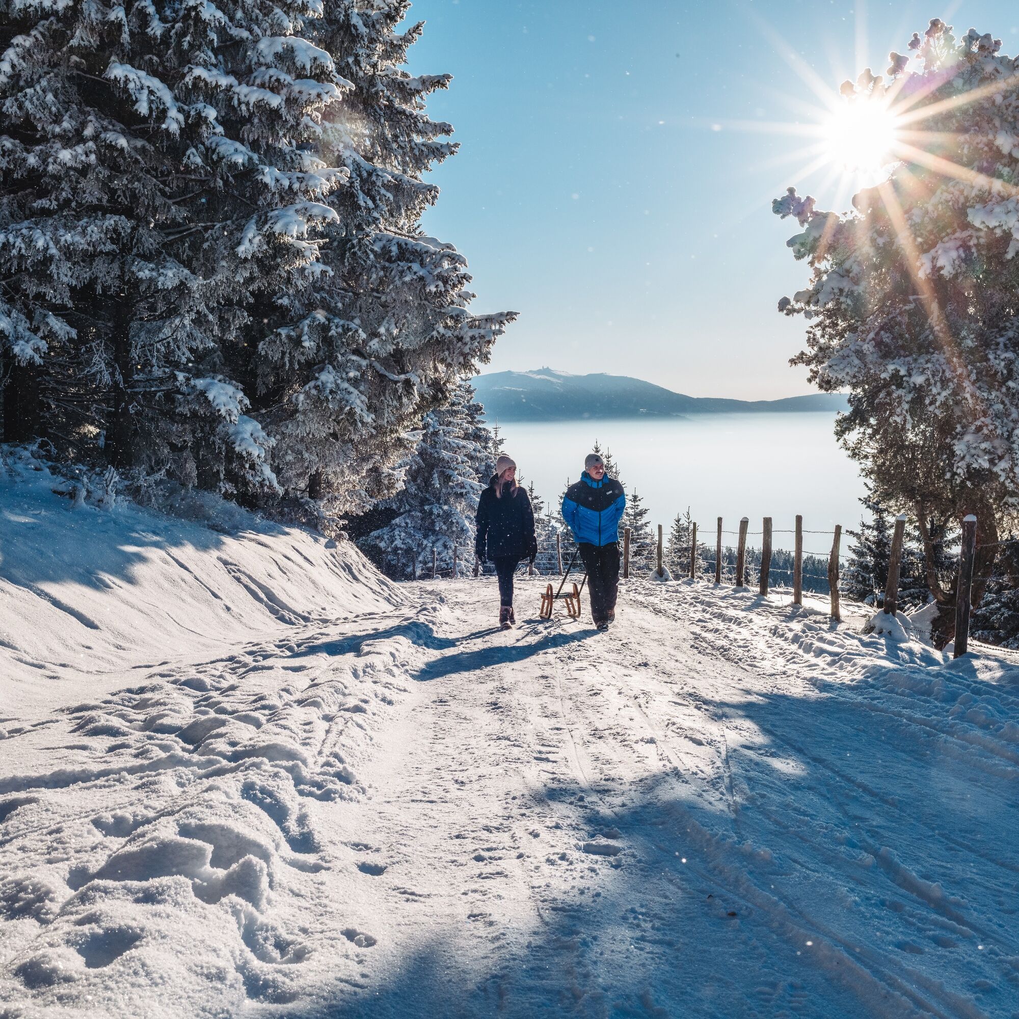
Follow the gravel road from the Gießelhütte westwards towards the Zechhütte. After about 10 minutes of walking, you have the option to follow a path straight ahead. This leads the hiker back to the forest road after about 300 meters. Adequate signage is available. Continuing along the path, you will reach the Zechhütte. For the ascent and return of the 4 kilometers, you will need about 1 hour 15 minutes.
Those who still have the desire and stamina can continue hiking to the Wolfsberger Hütte at 1827 m (closed in winter). From the Zechhütte, it is about 3.5 km and 290 meters ascent. Only recommended in good weather and stay on the path. Warning: High alpine terrain
Tak
Winter hiking shoes/winter boots
Hat or headband
Finger gloves/winter gloves
Scarf/buff
Winter softshell jacket
Hiking poles with winter baskets (adjustable)
Daypack for day trips (approx. 30 liters)
Sunglasses, possibly glacier glasses
Winter hiking shoes/winter boots
Hat or headband
Finger gloves/winter gloves
Scarf/buff
Winter softshell jacket
Hiking poles with winter baskets (adjustable)
Daypack for day trips (approx. 30 liters)
Sunglasses, possibly glacier glasses
Exit A2 South Wolfsberg - third exit roundabout towards St. Michael - Lading
see plan your arrival
no public transport connection
Parking available at and about 200 m after the Gießelhütte.
1
Visit the Saualpe also in summer. It is probably one of the most beautiful and largely unspoiled areas in southeastern Austria. Cozy alpine huts provide ample food and entertainment for the whole family.
More info at Saualpe - The Hiking Paradise

Popularne wycieczki w okolicy
-
4,4
Klippitztörl - Geierkogel loop trail no. G
średniWędrówka 6,79 km -
4,1
Vom Klippitztörl auf die Forstalm mit Geierkogel und Steinerner Hochzeit.
średniWędrówka 10,5 km -
5,0
Weißbergerhütte - Gertrusk - Ladingerspitz
średniWędrówka 8,95 km -
4,8
Winter sun on the Saualm
światłoRakieta do chodzenia po śniegu 4,70 km -
4,4
Diex panorama trail
światłoWędrówka 12,1 km -
4,4
Bad St. Leonhard: L5 hike Kliening - Sauerbrun
średniWędrówka 9,49 km -
4,2
Saualpen ridge – Speikkogel, Großer and Kleiner Sauofen
średniWędrówka 10,8 km -
4,6
Saualpe: Hut route - circular hike
średniWędrówka 15,3 km -
3,9
Klippitztörl: circular hike
średniWędrówka 10,1 km -
4,8
Klippitztörl: Tour 6 - Geierkogeltour
średniRakieta do chodzenia po śniegu 6,80 km

Wędrówki i tropienie


Nie przegap ofert i inspiracji na następne wakacje
Twój adres e-mail została dodana do listy mailingowej.