






Klippitztörl - Geierkogel loop trail no. G
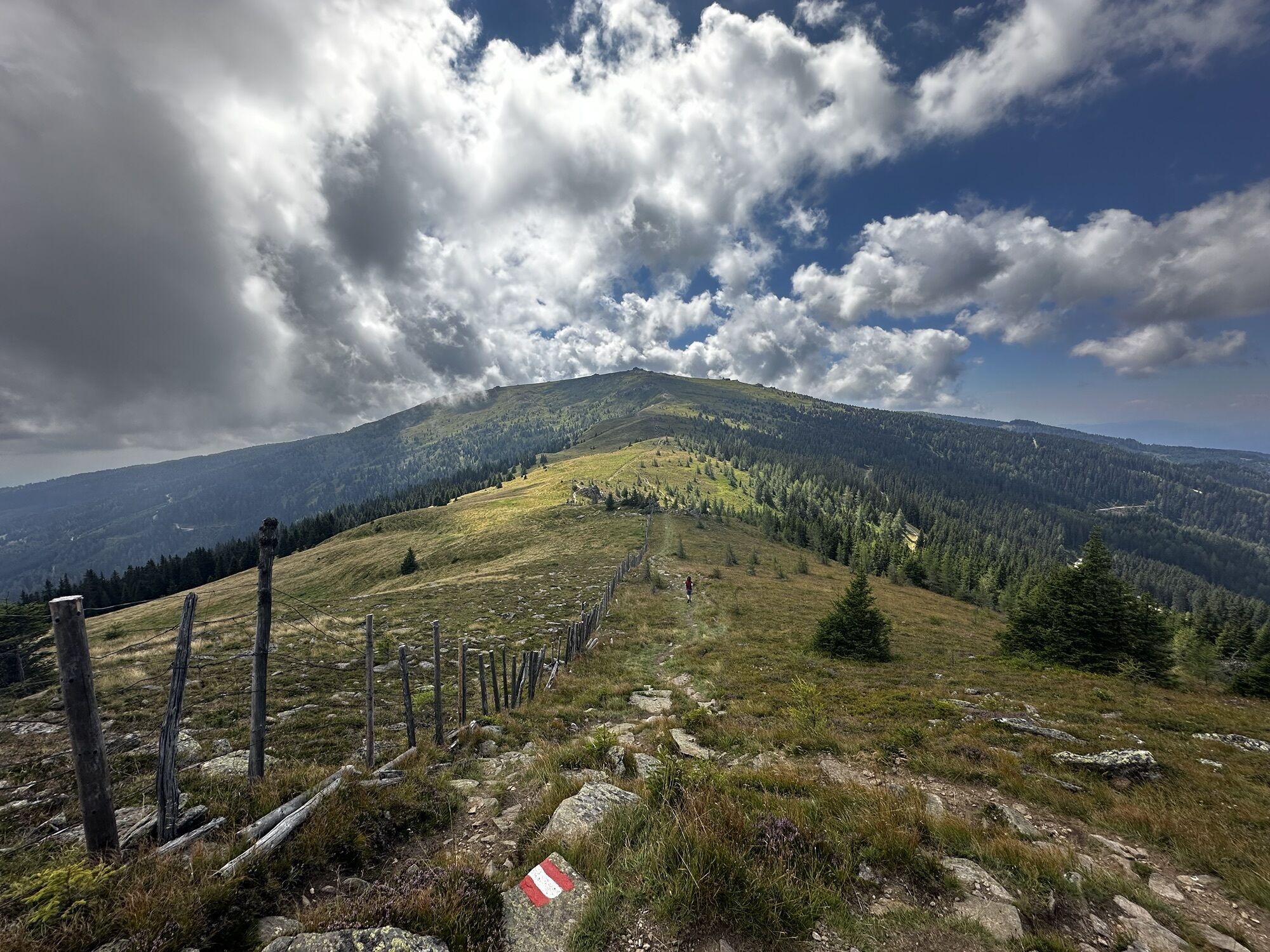
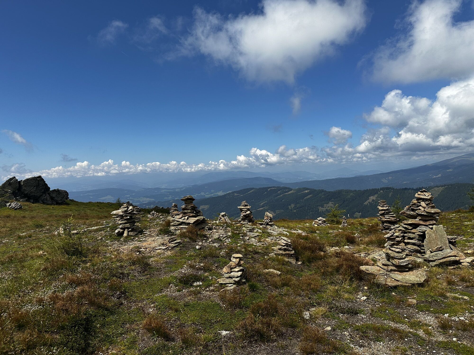
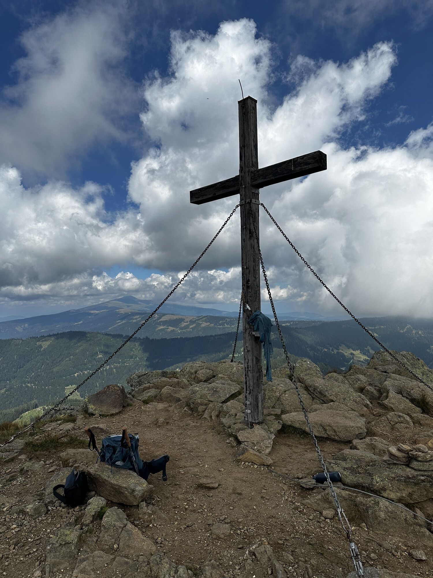
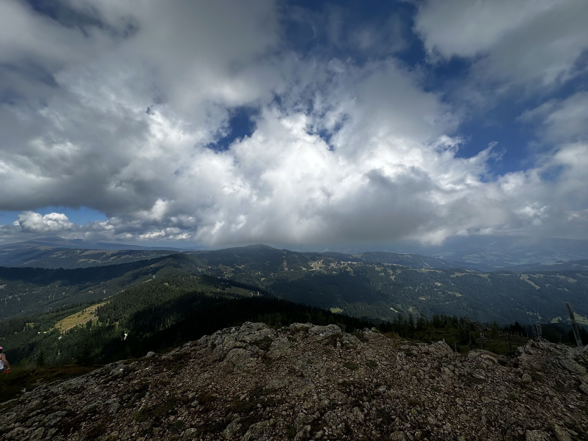
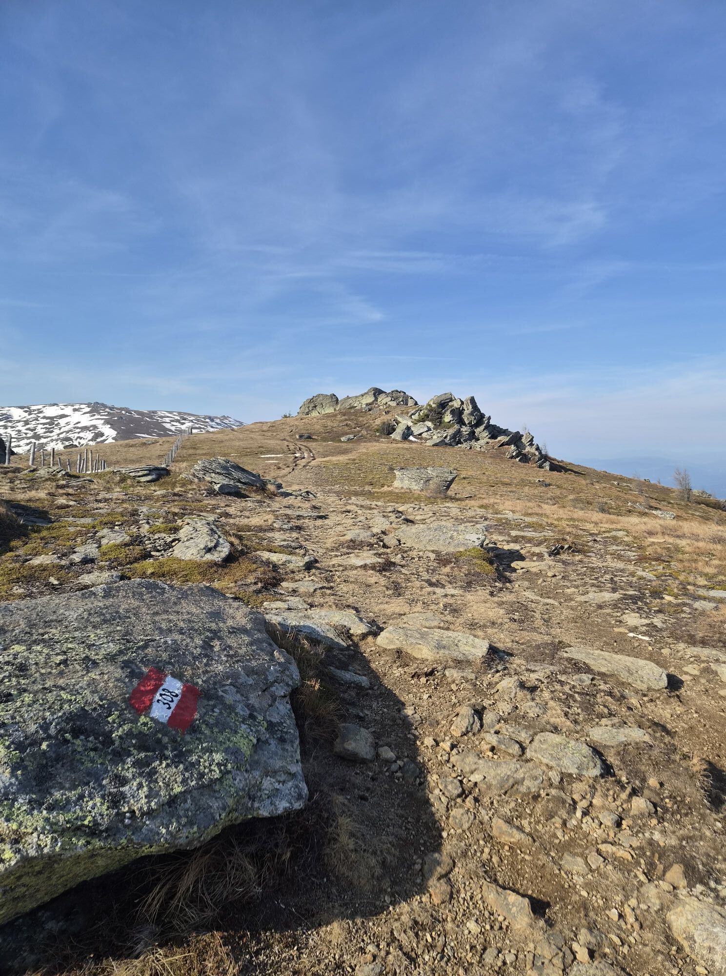
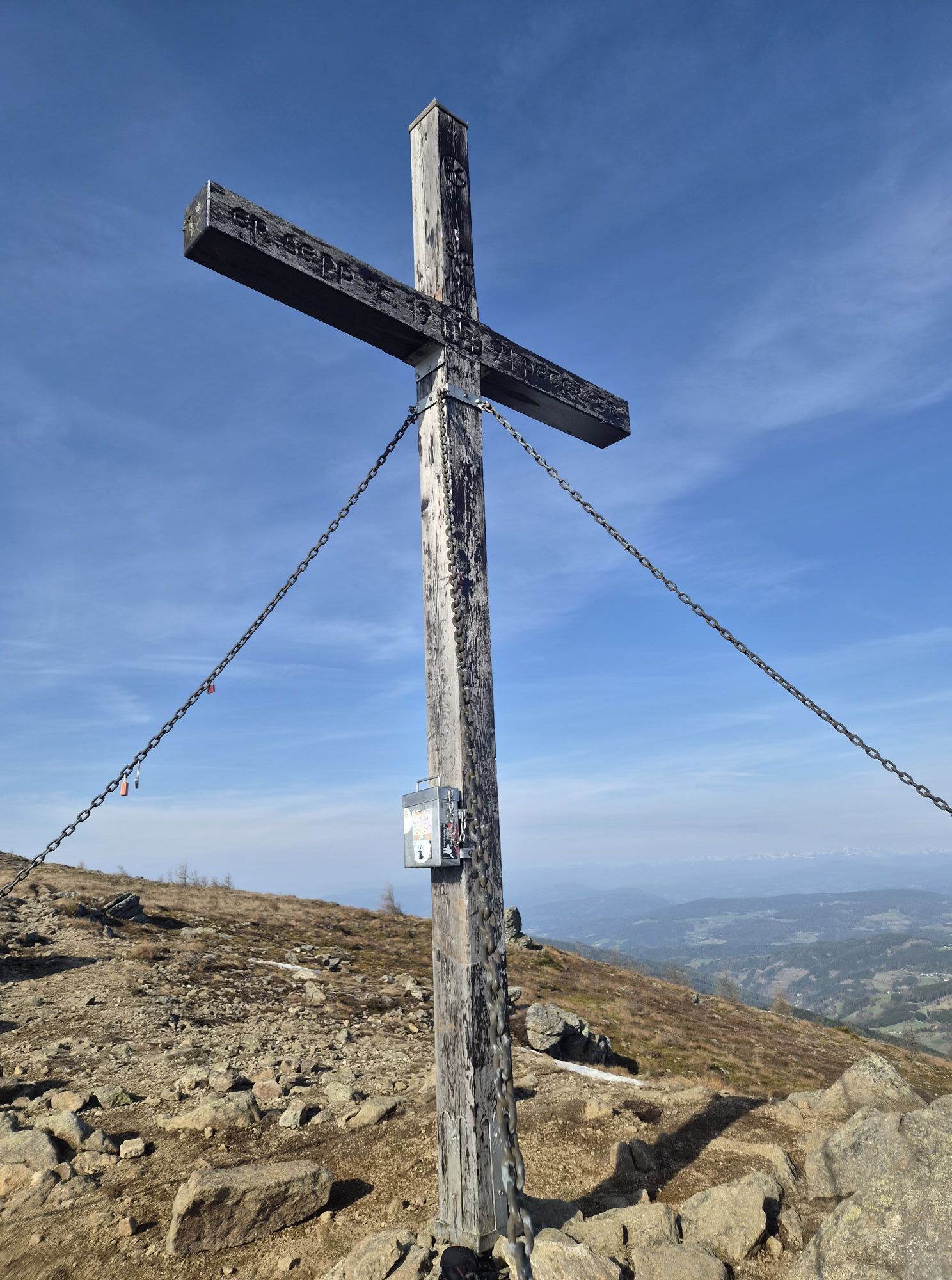
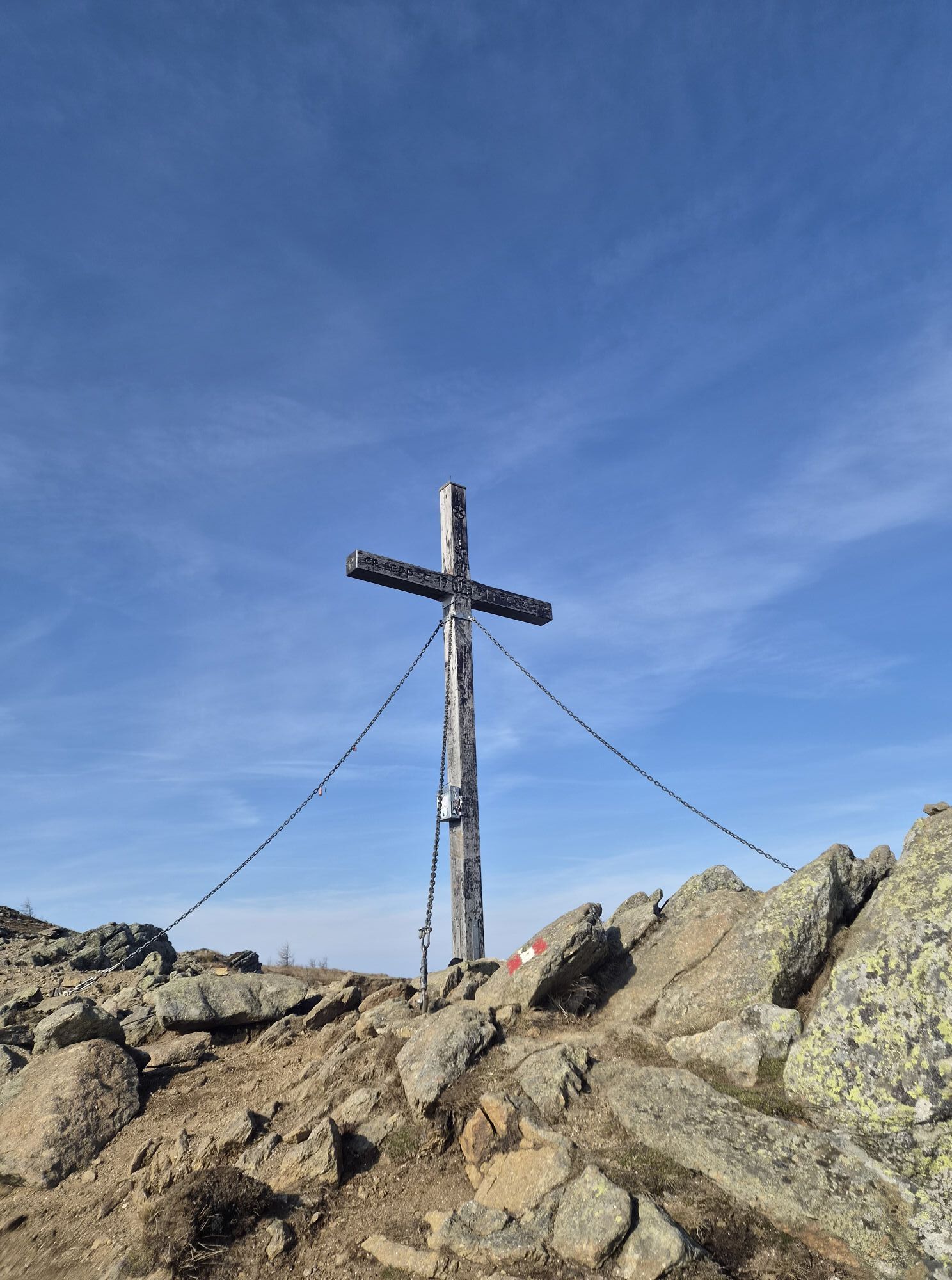
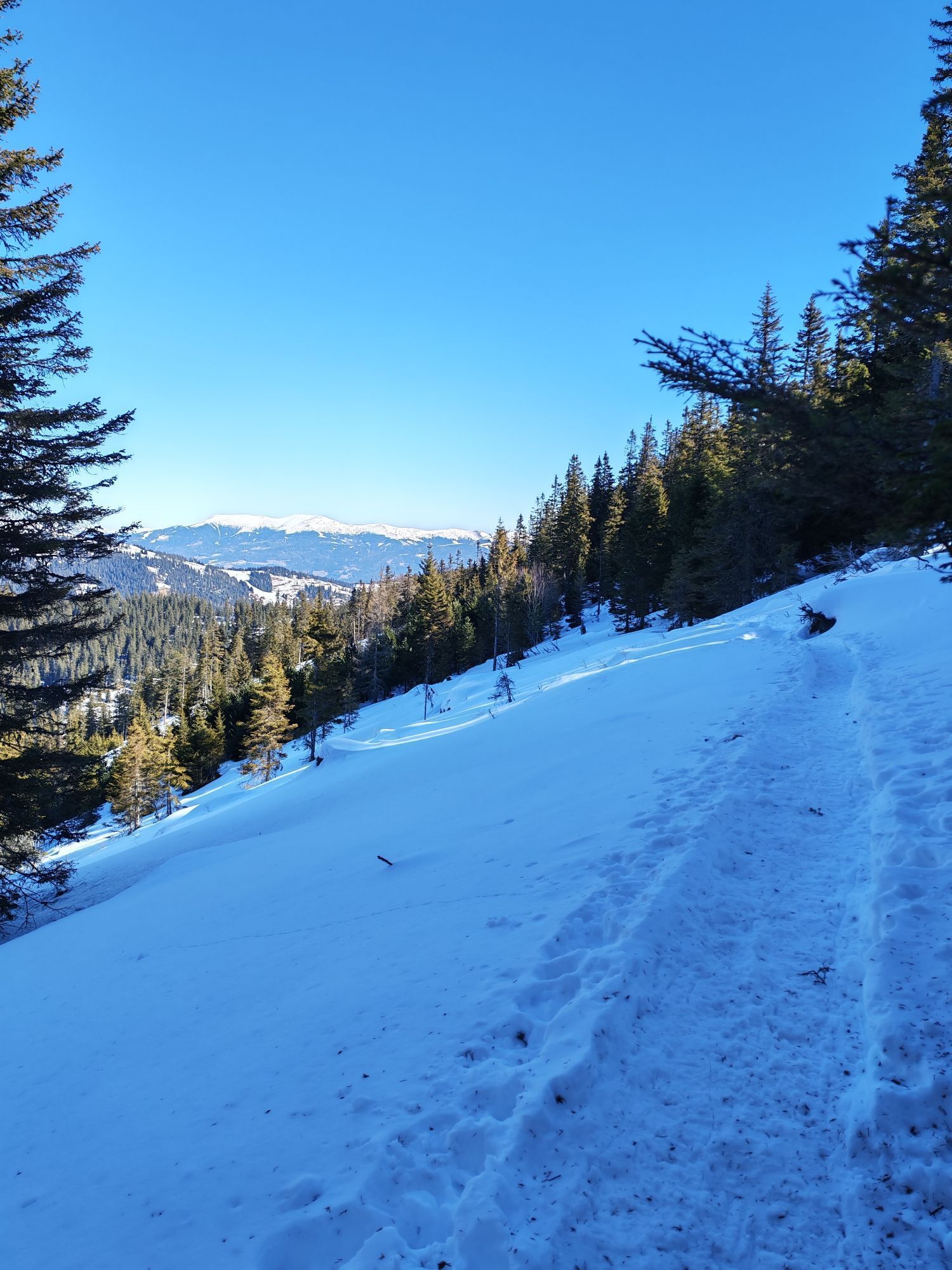
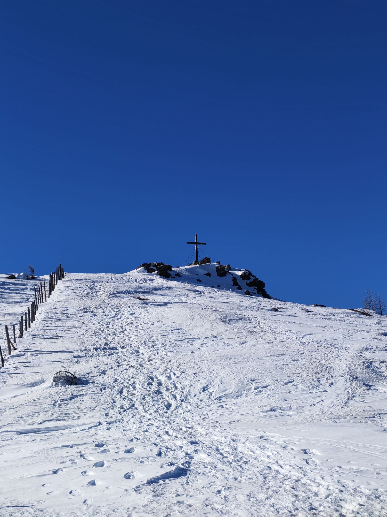
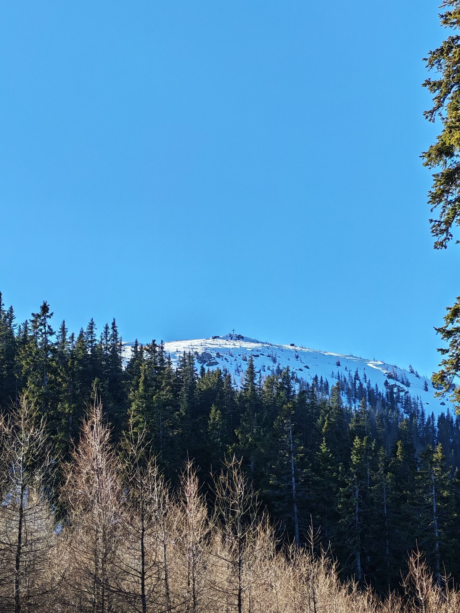
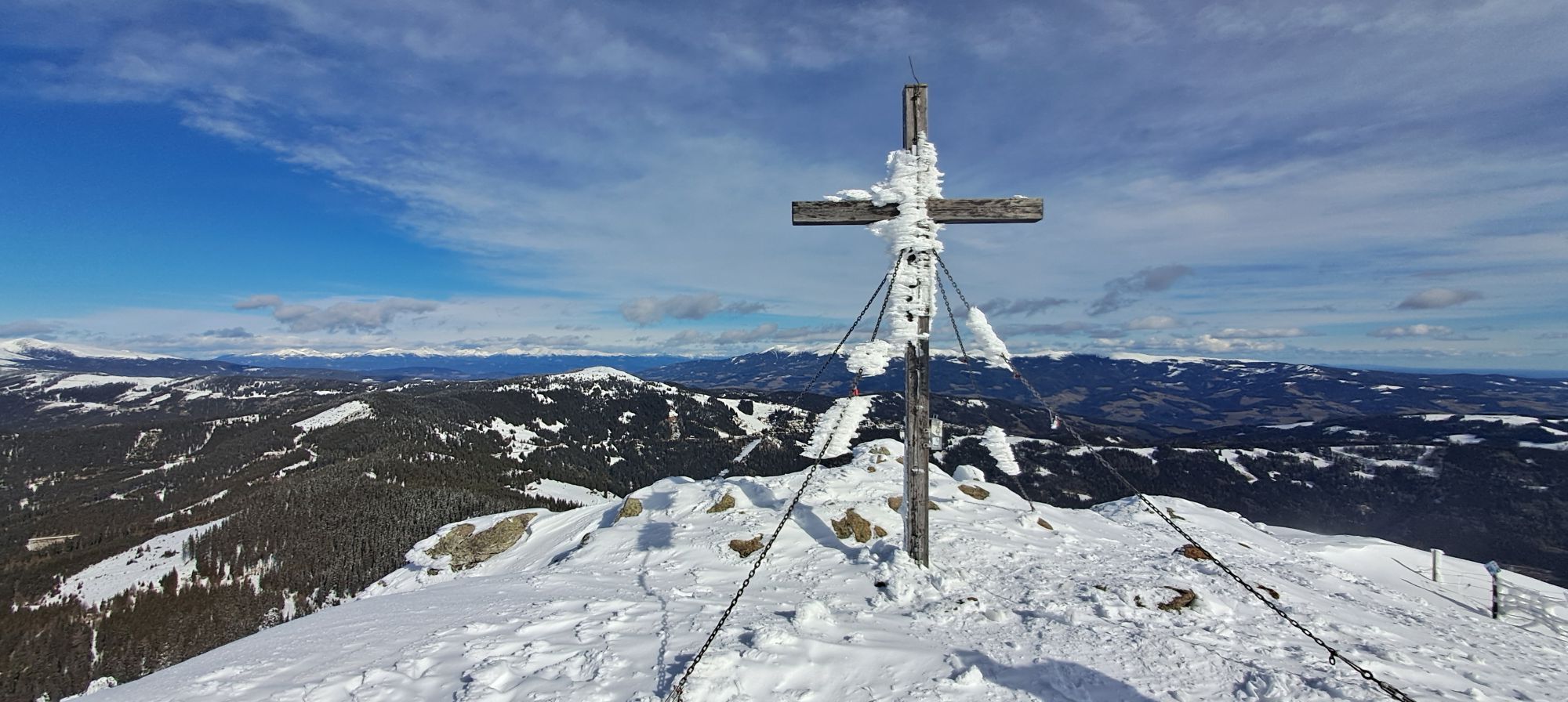
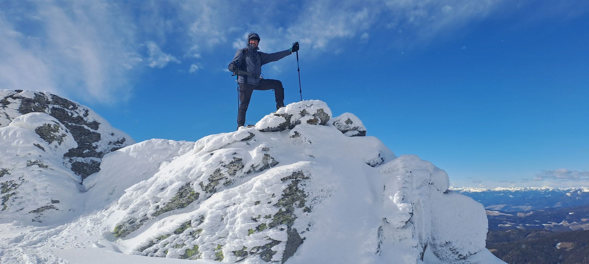
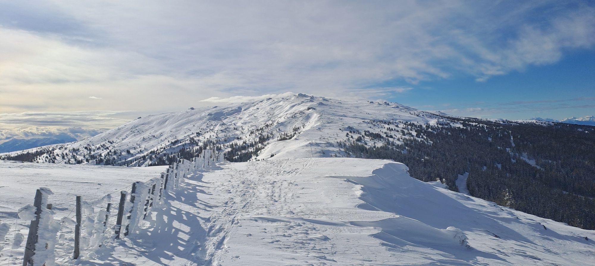
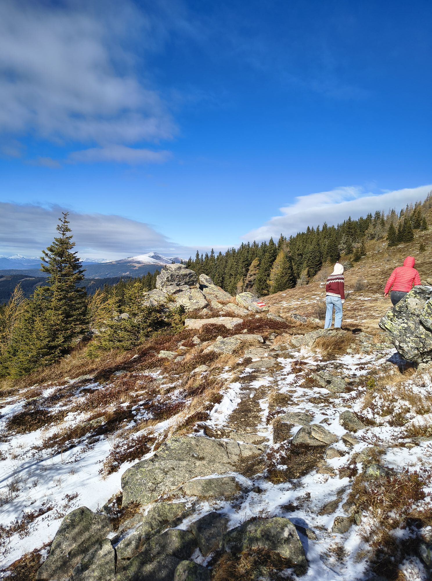
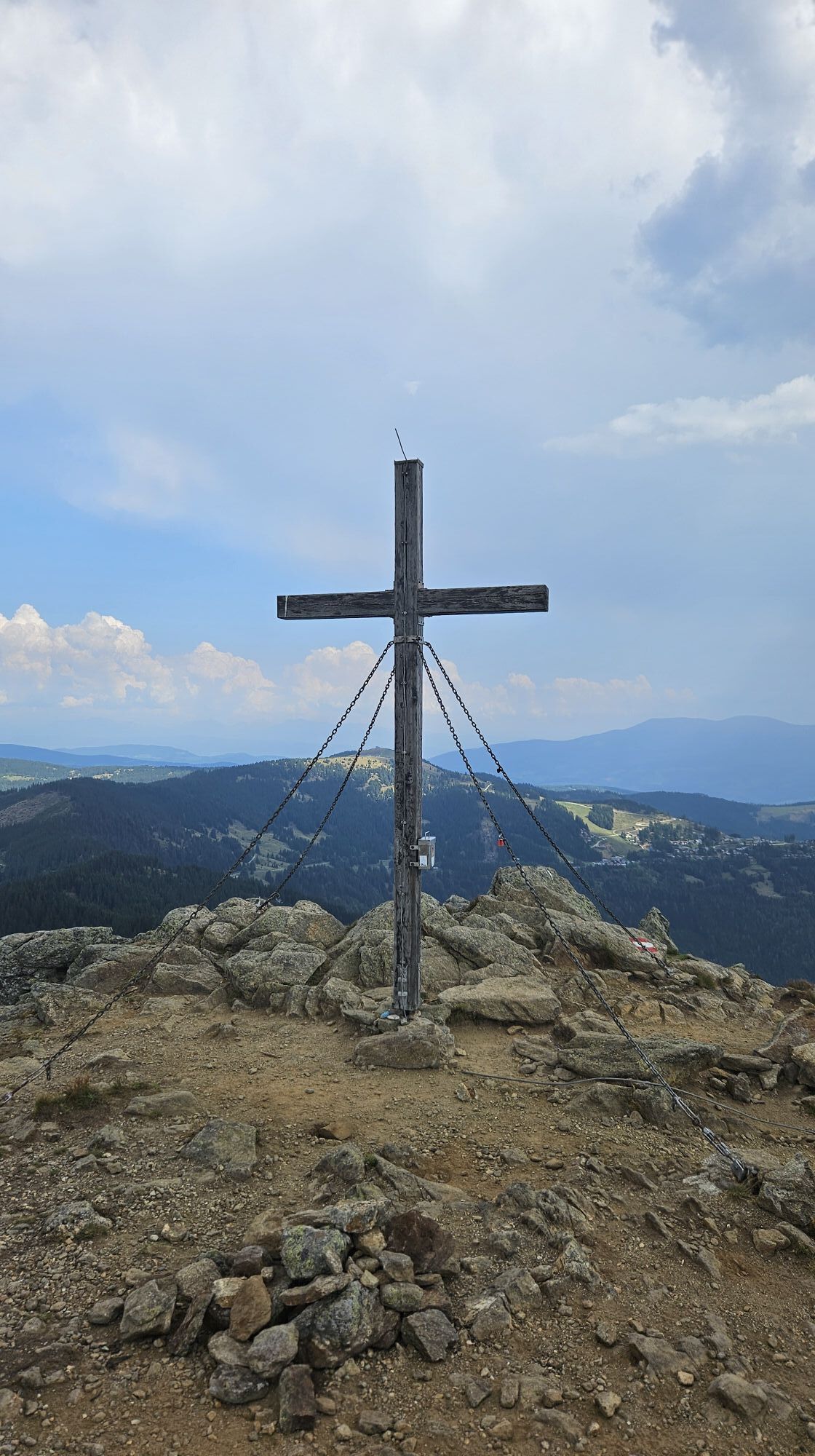
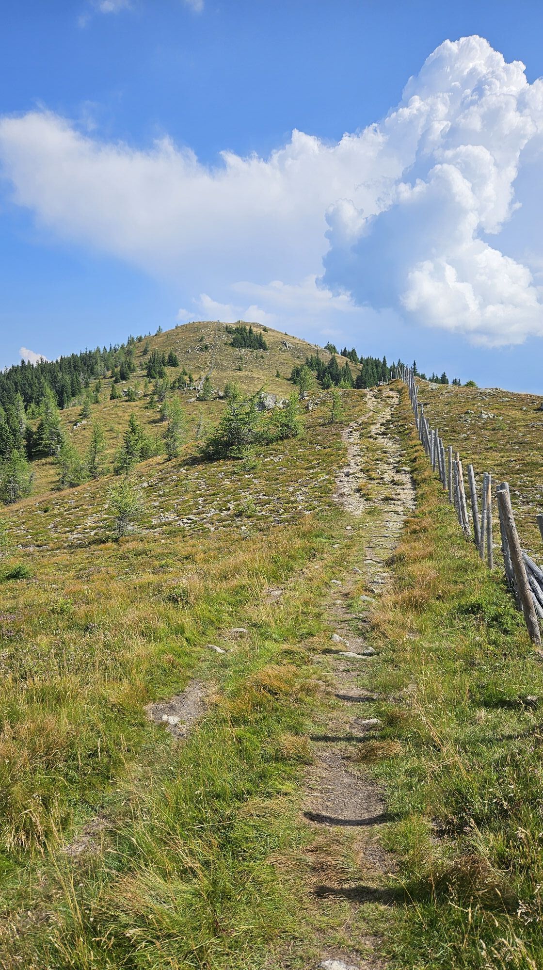
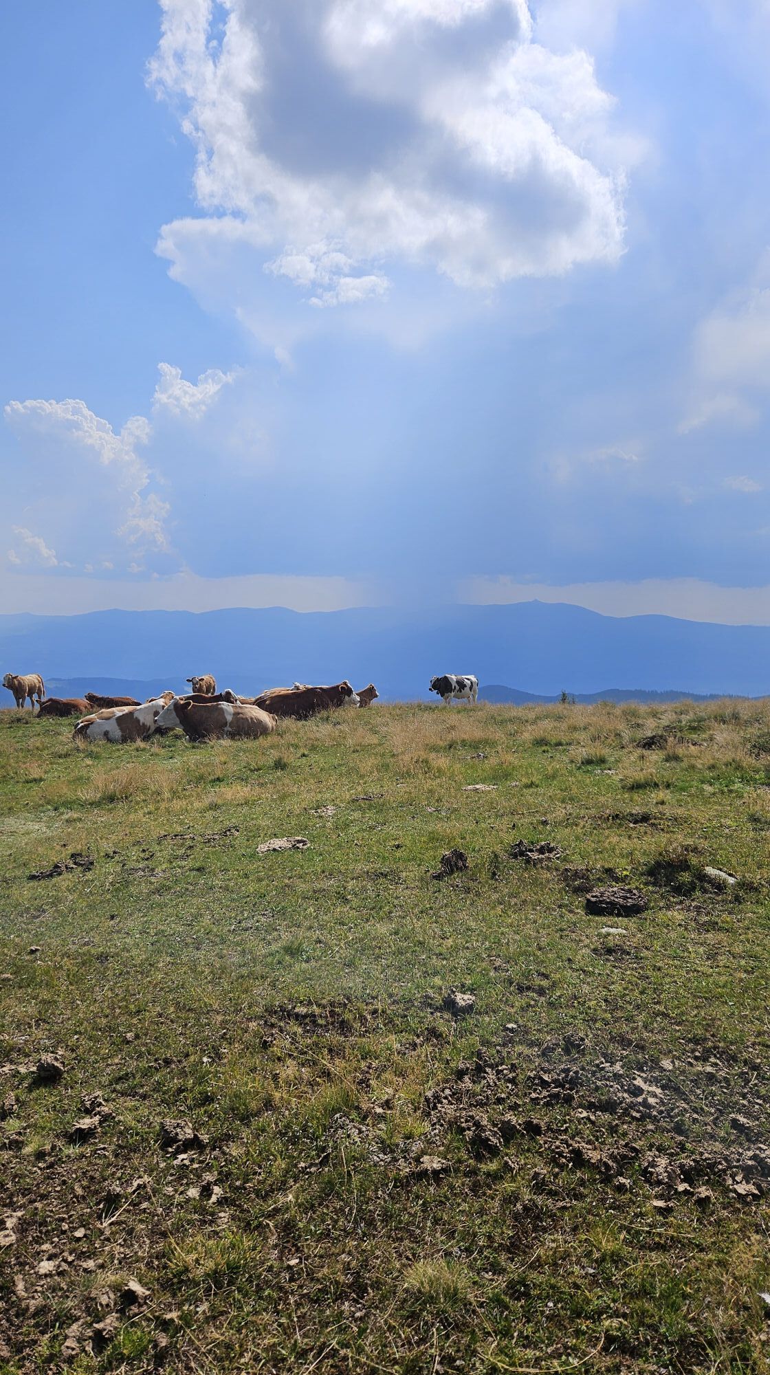
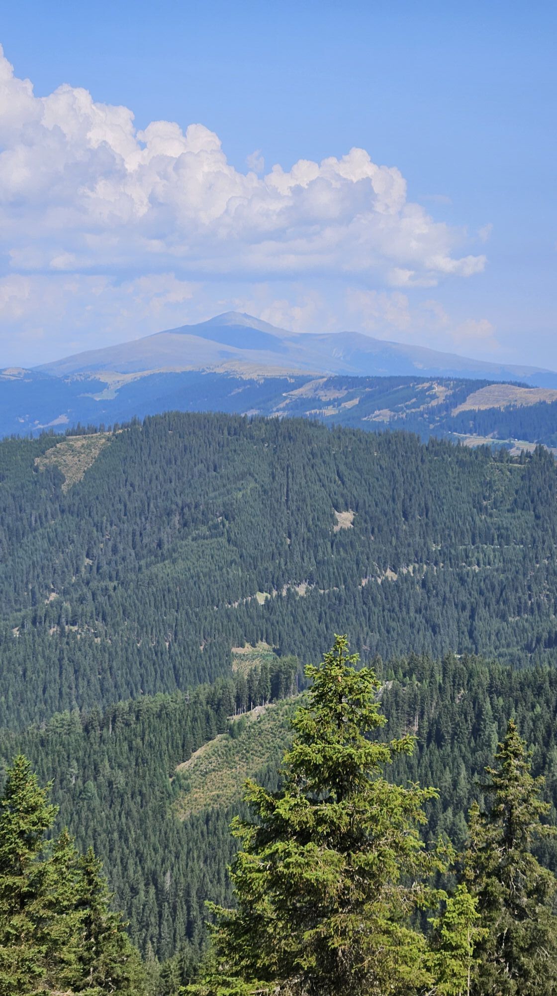
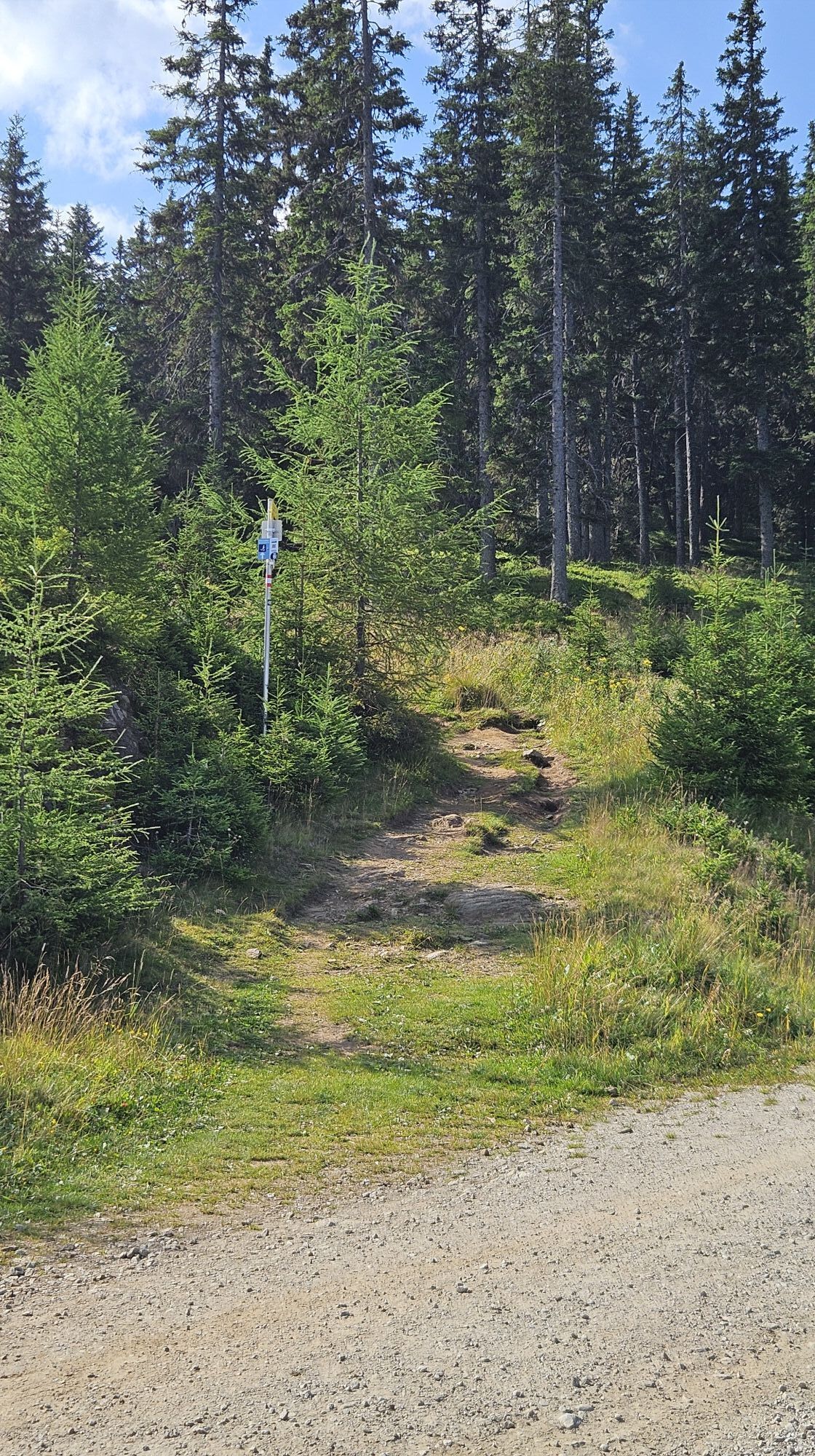
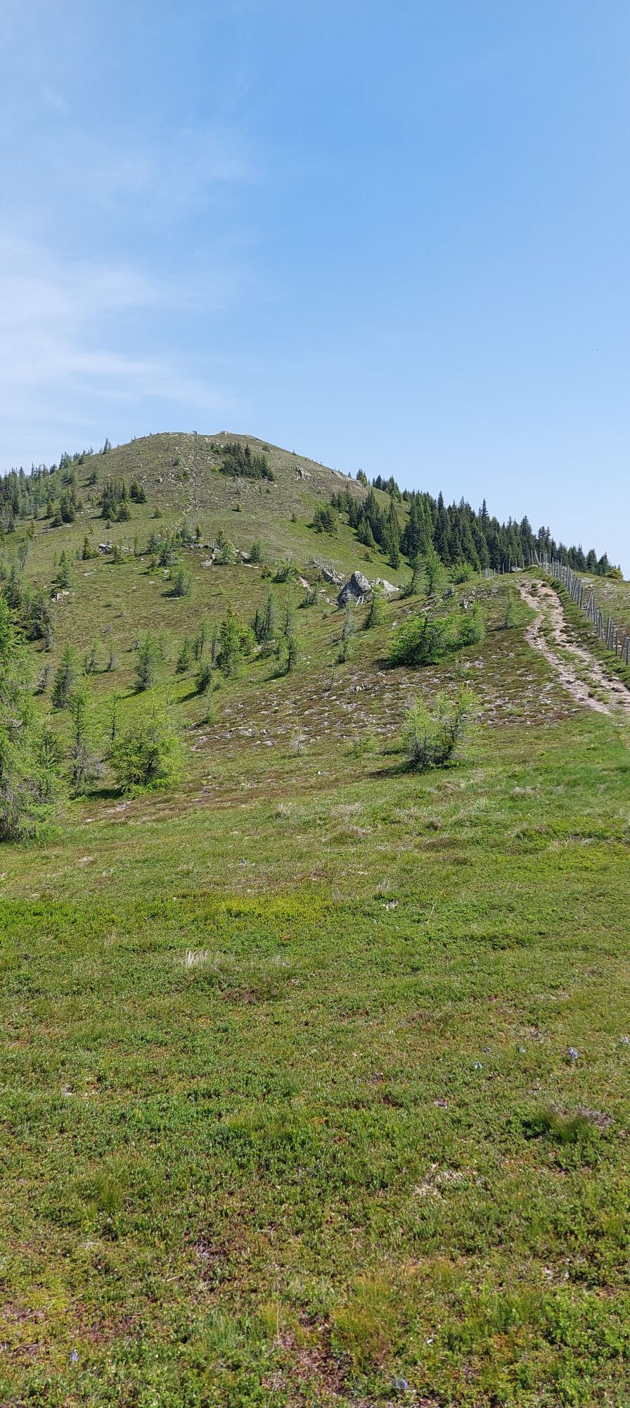
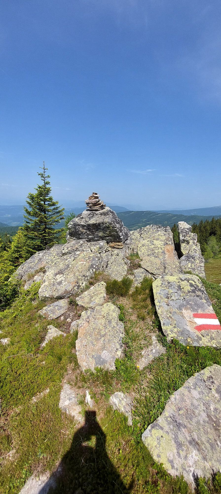
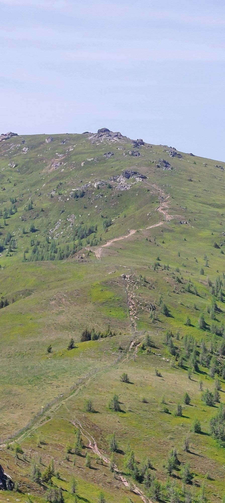
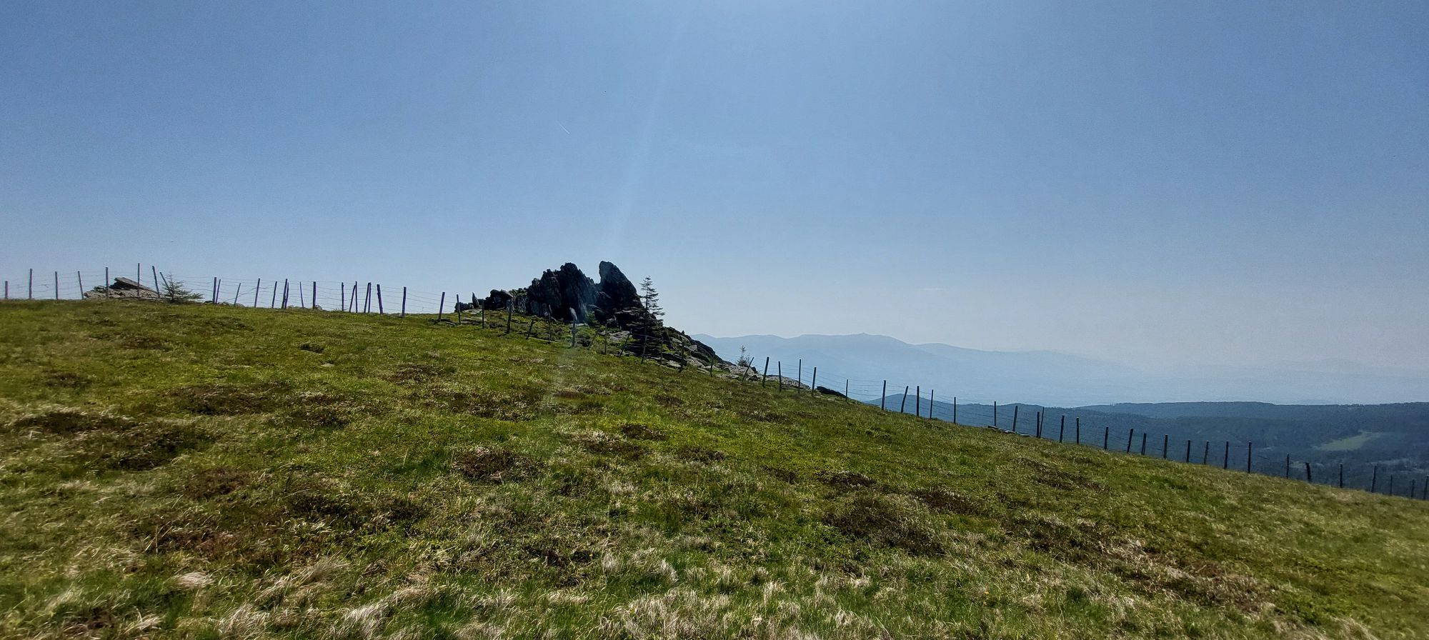
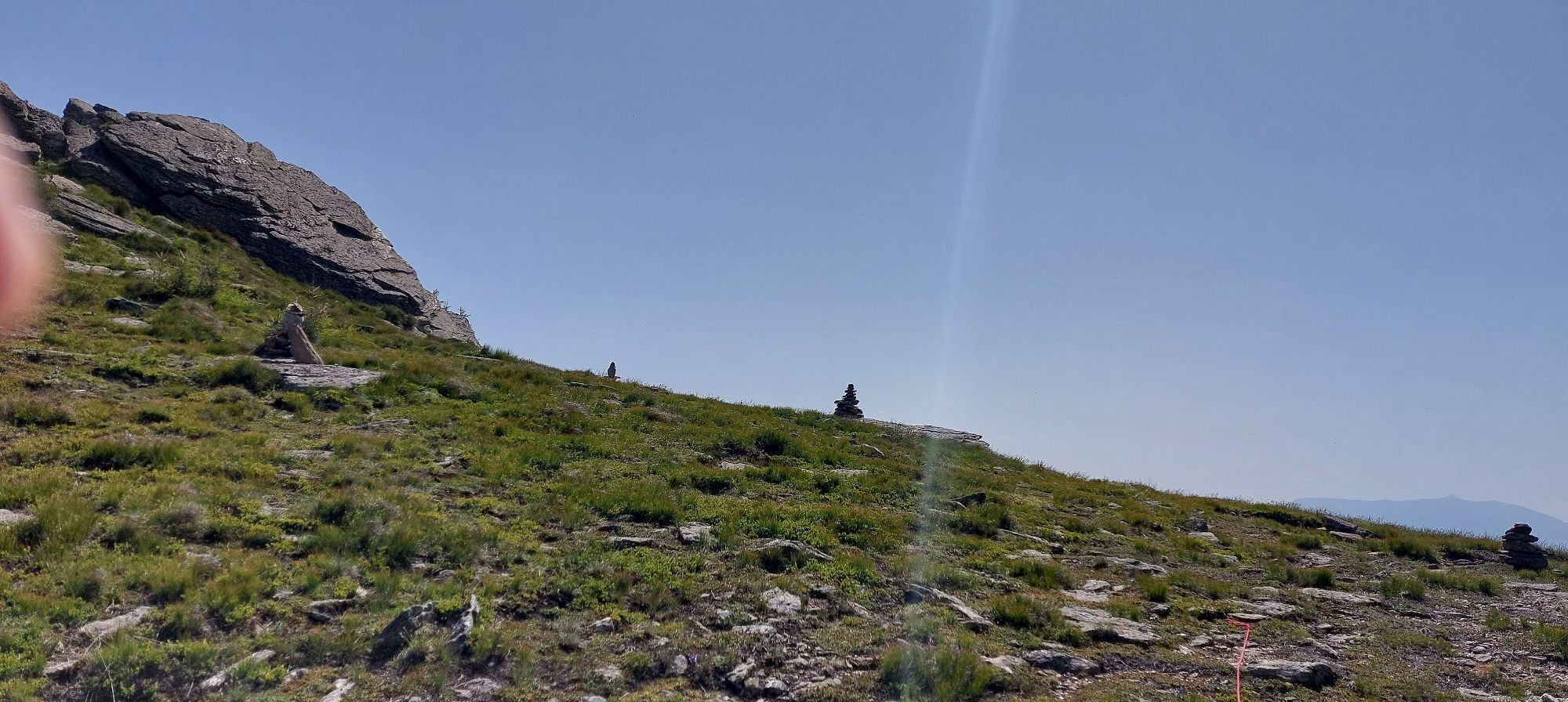
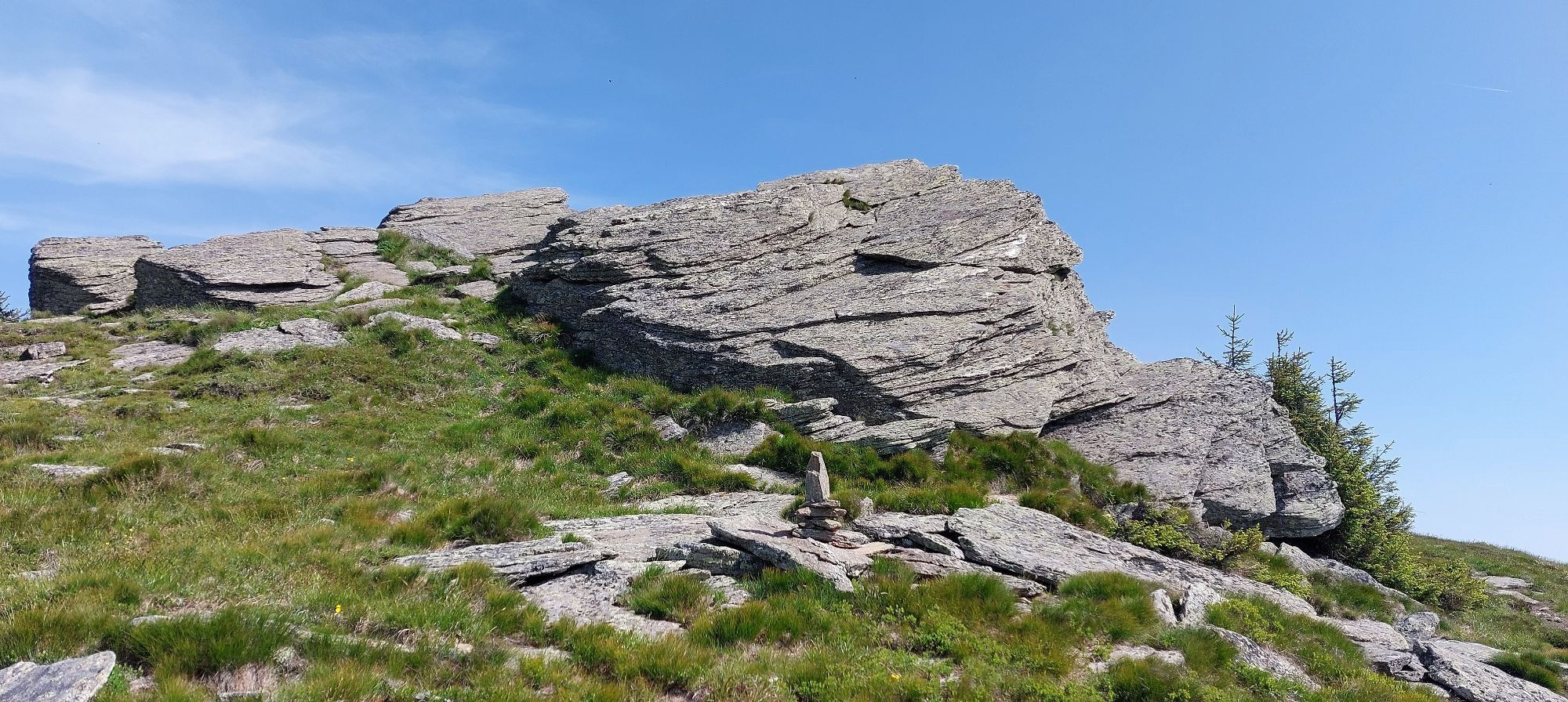
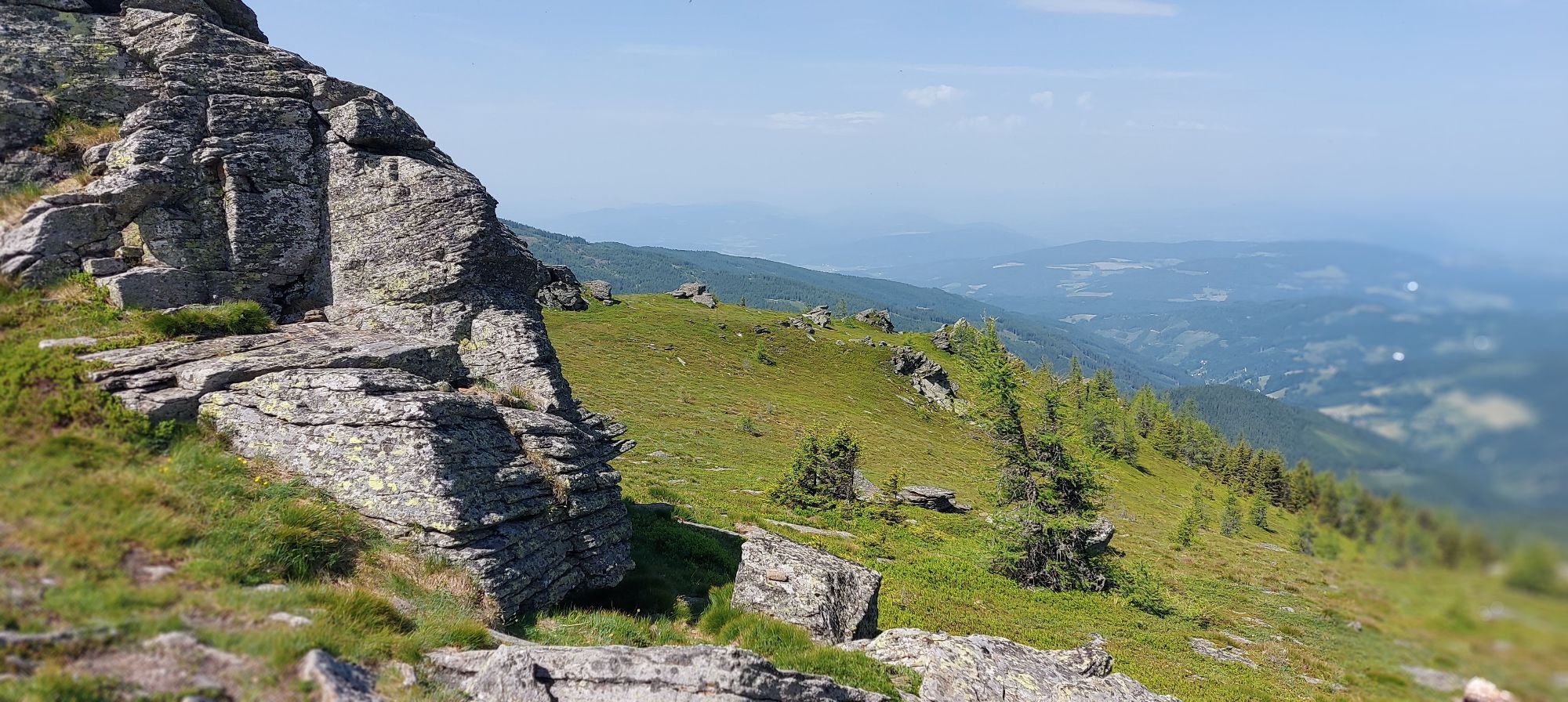
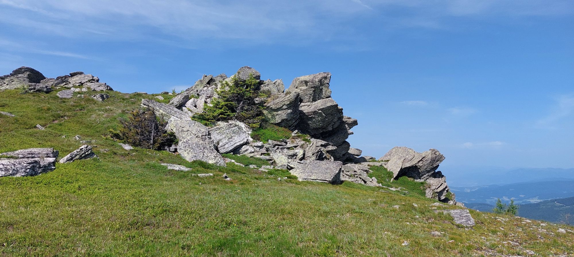
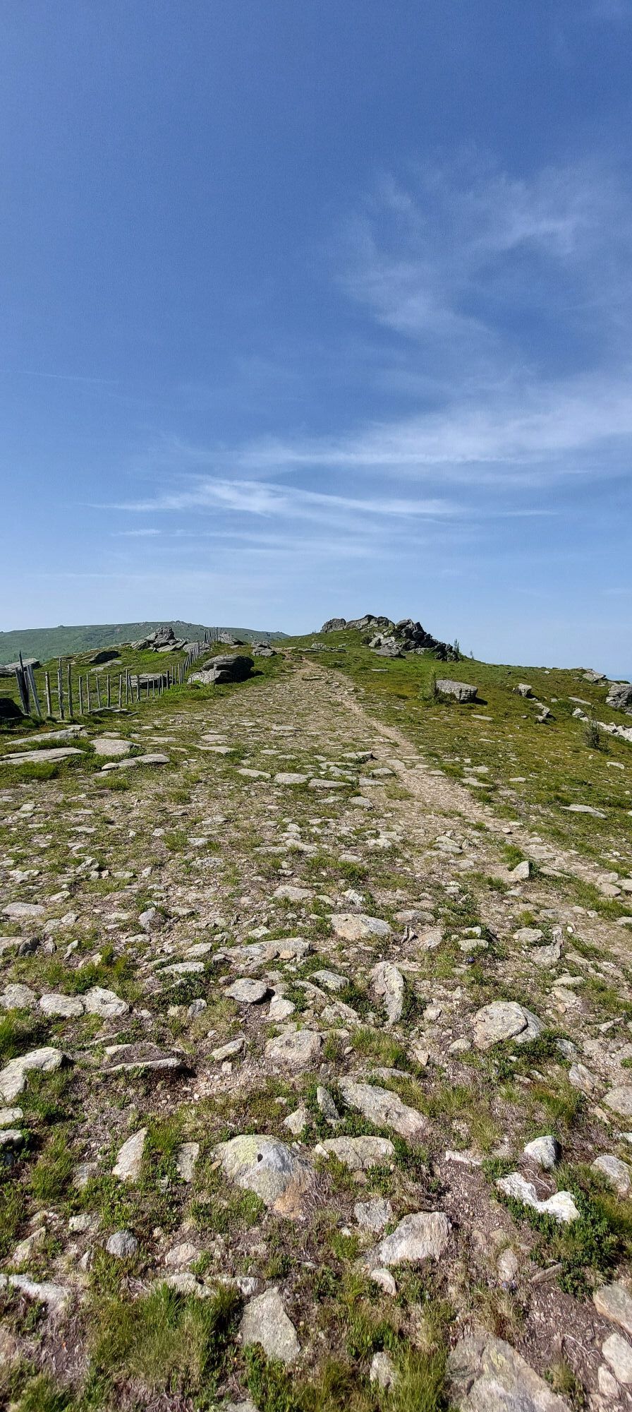
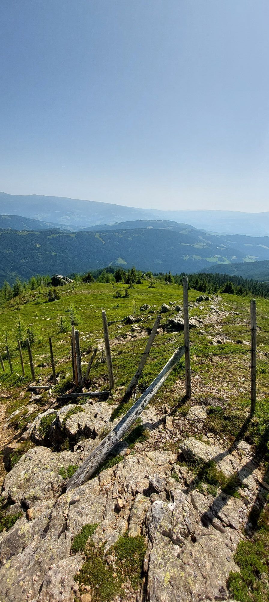
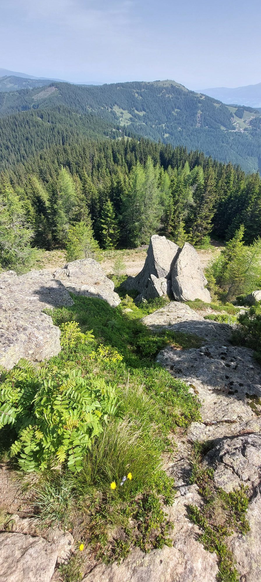
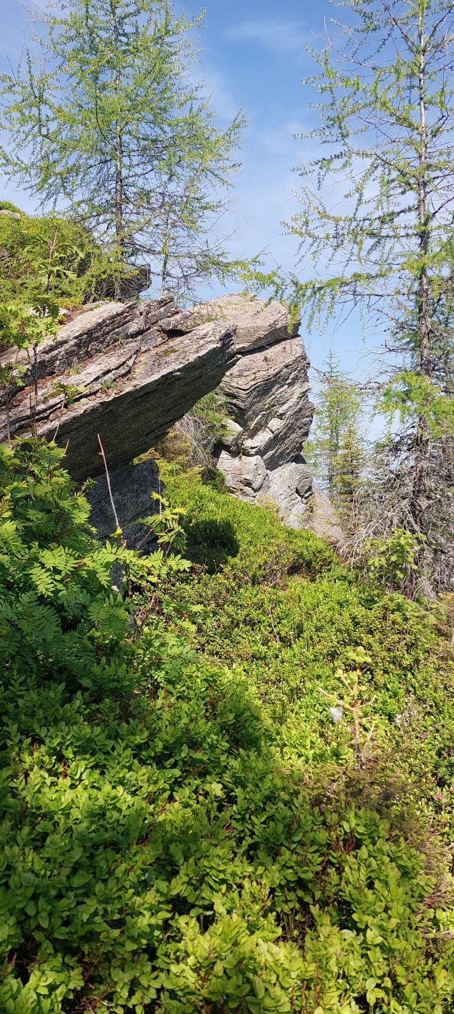
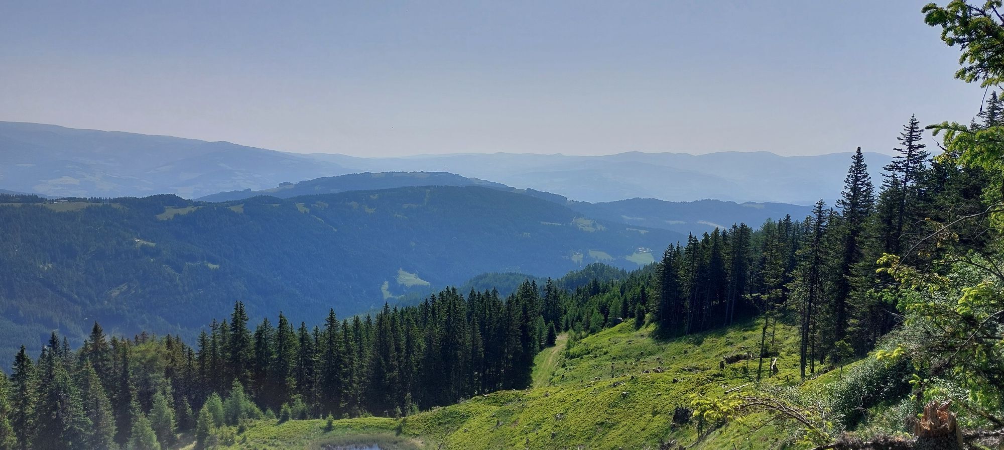
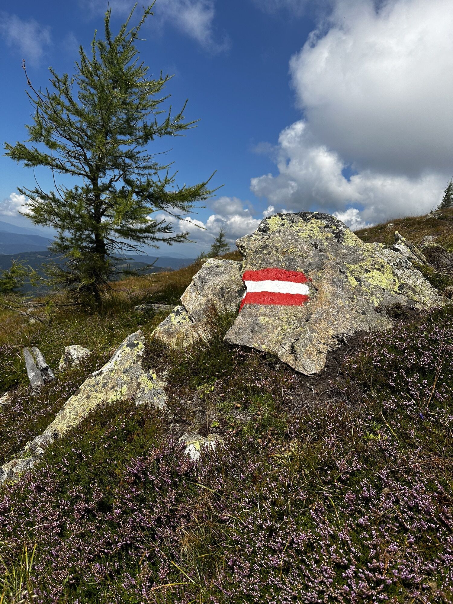
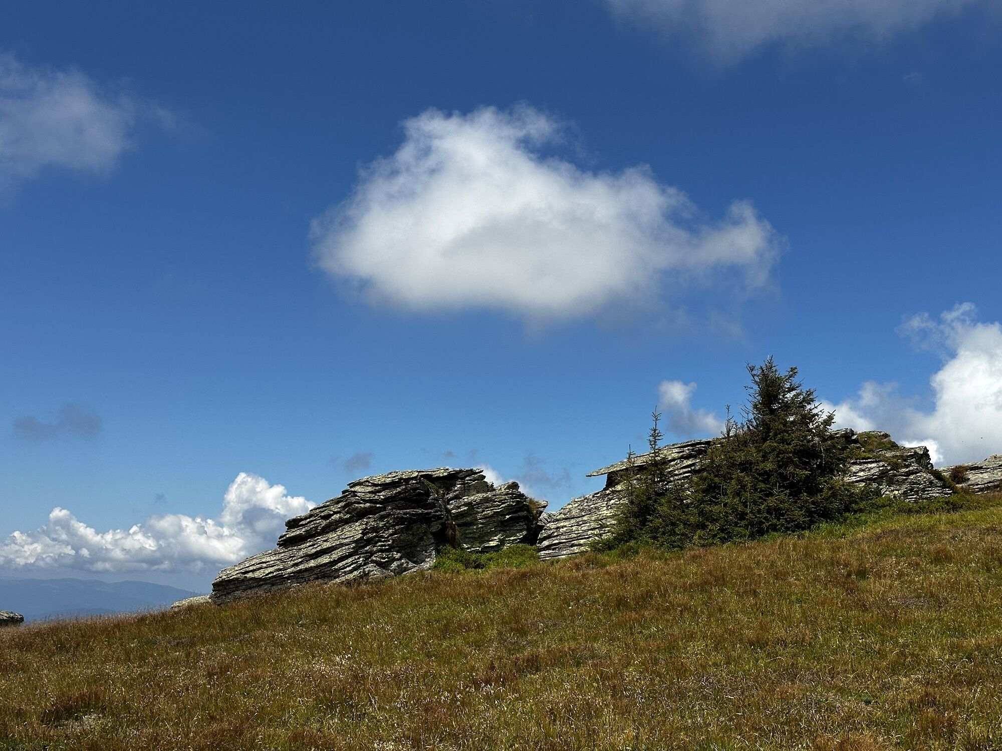
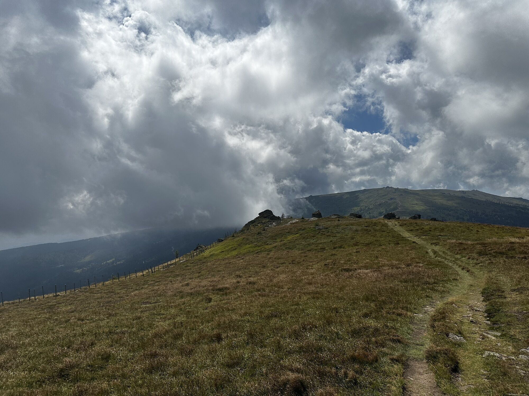
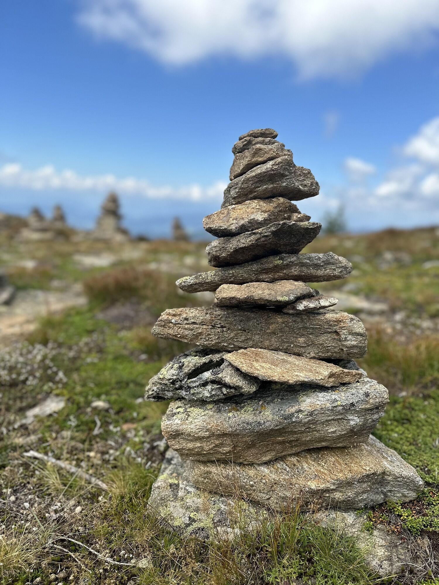
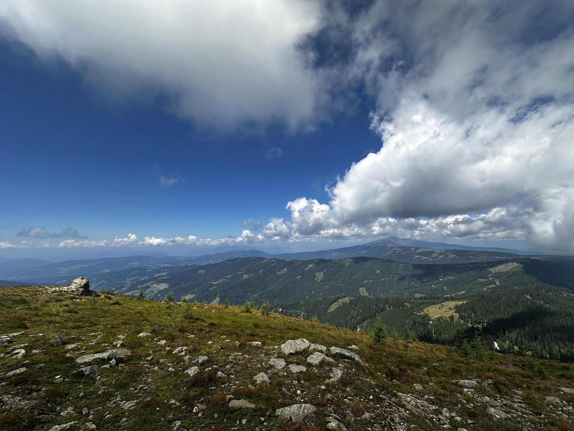
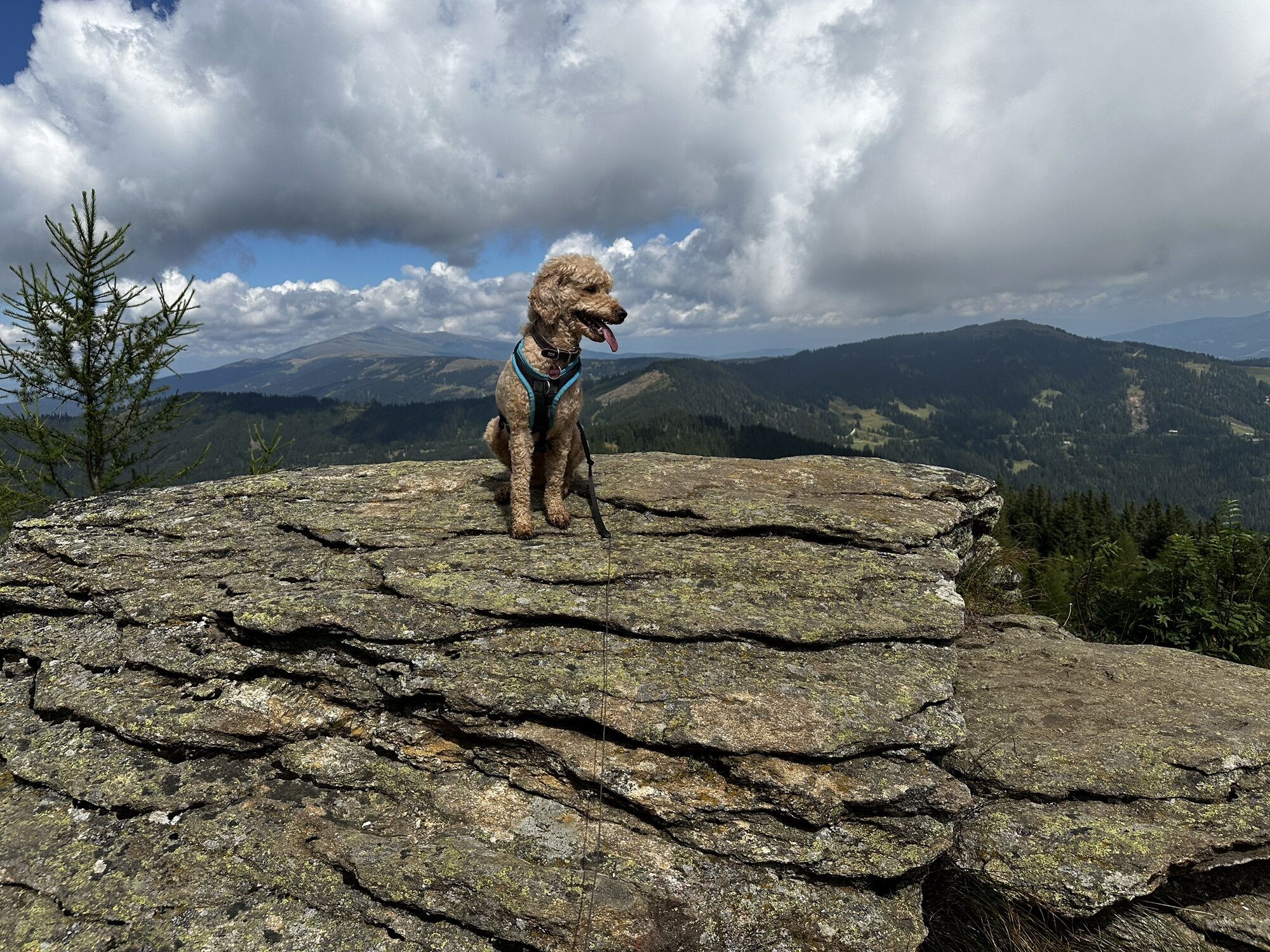
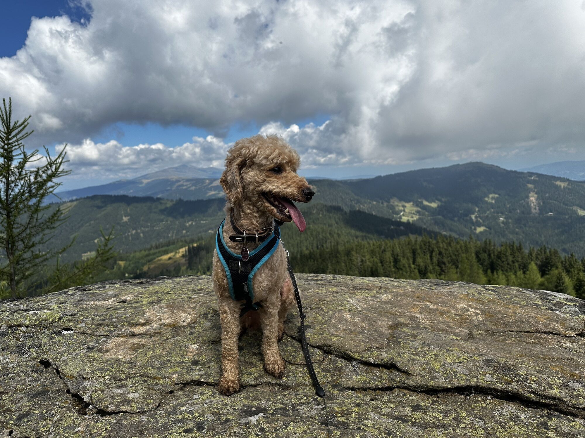
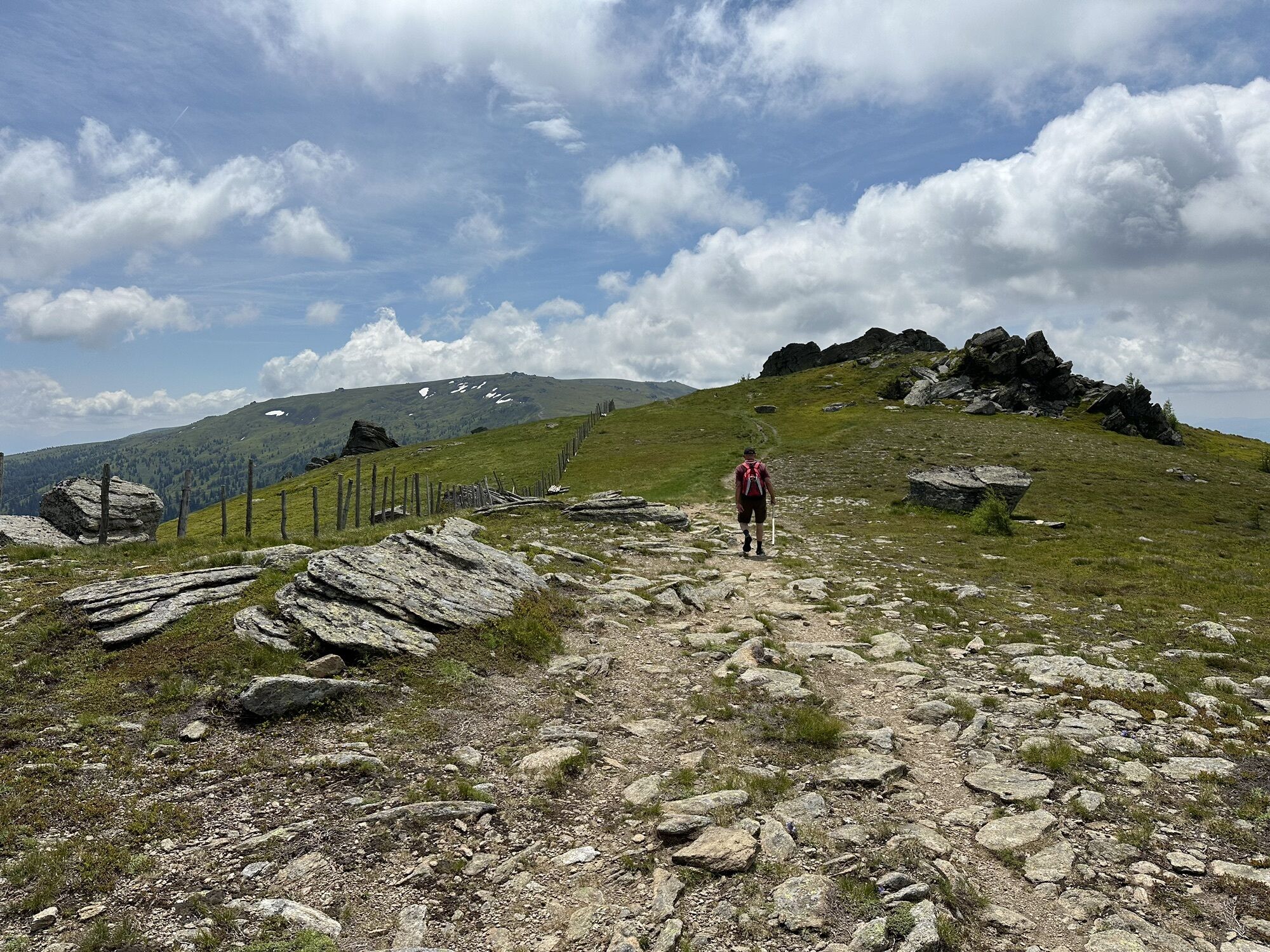
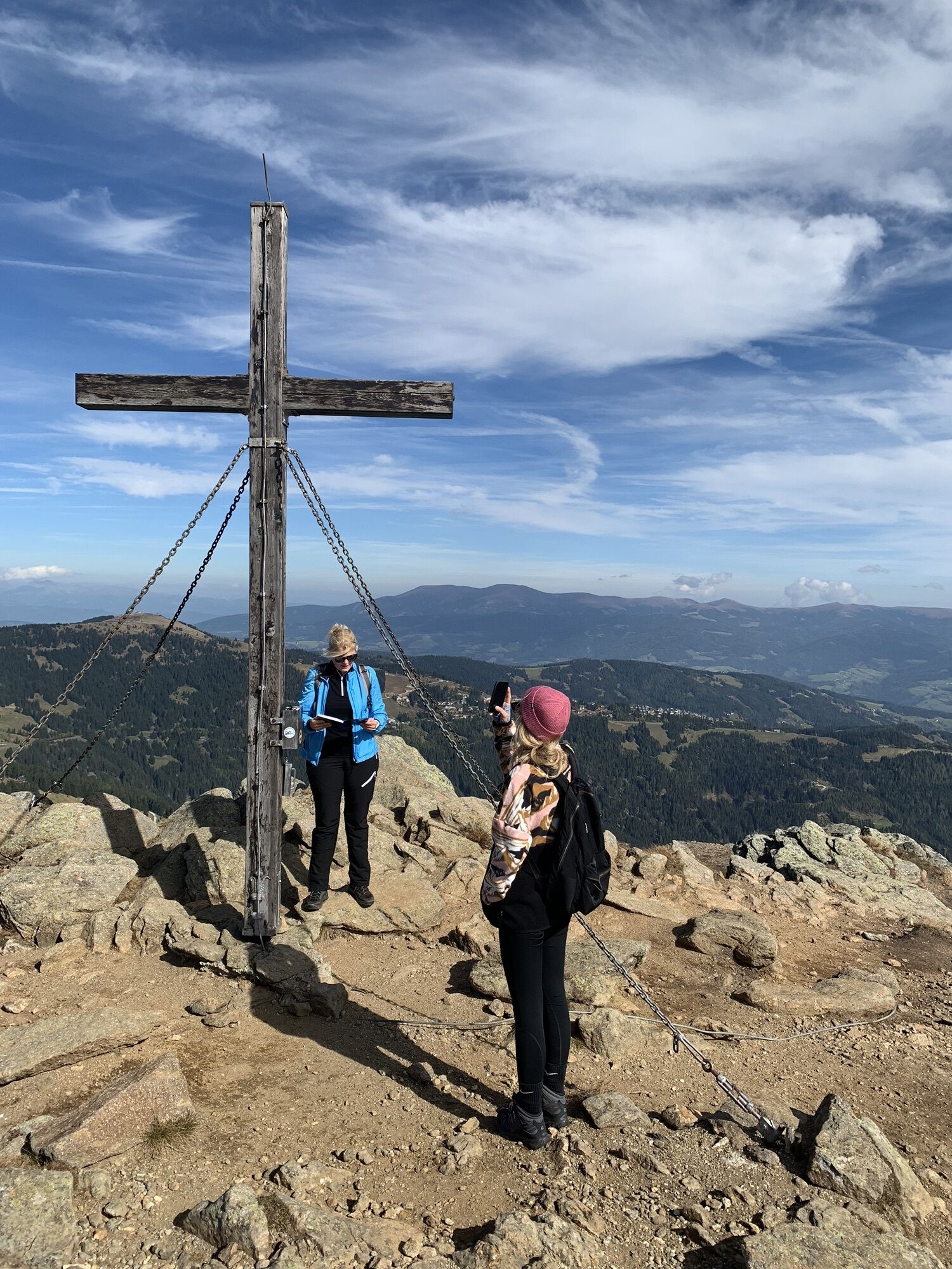
The Geierkogel loop trail no. G is a beautiful circular route with wonderful views across the whole Lavanttal and Görtschitztal. From the Geierkogel cross you can see the Zirbitzkogel to the north, the...
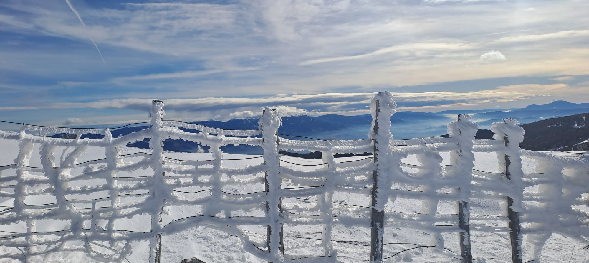
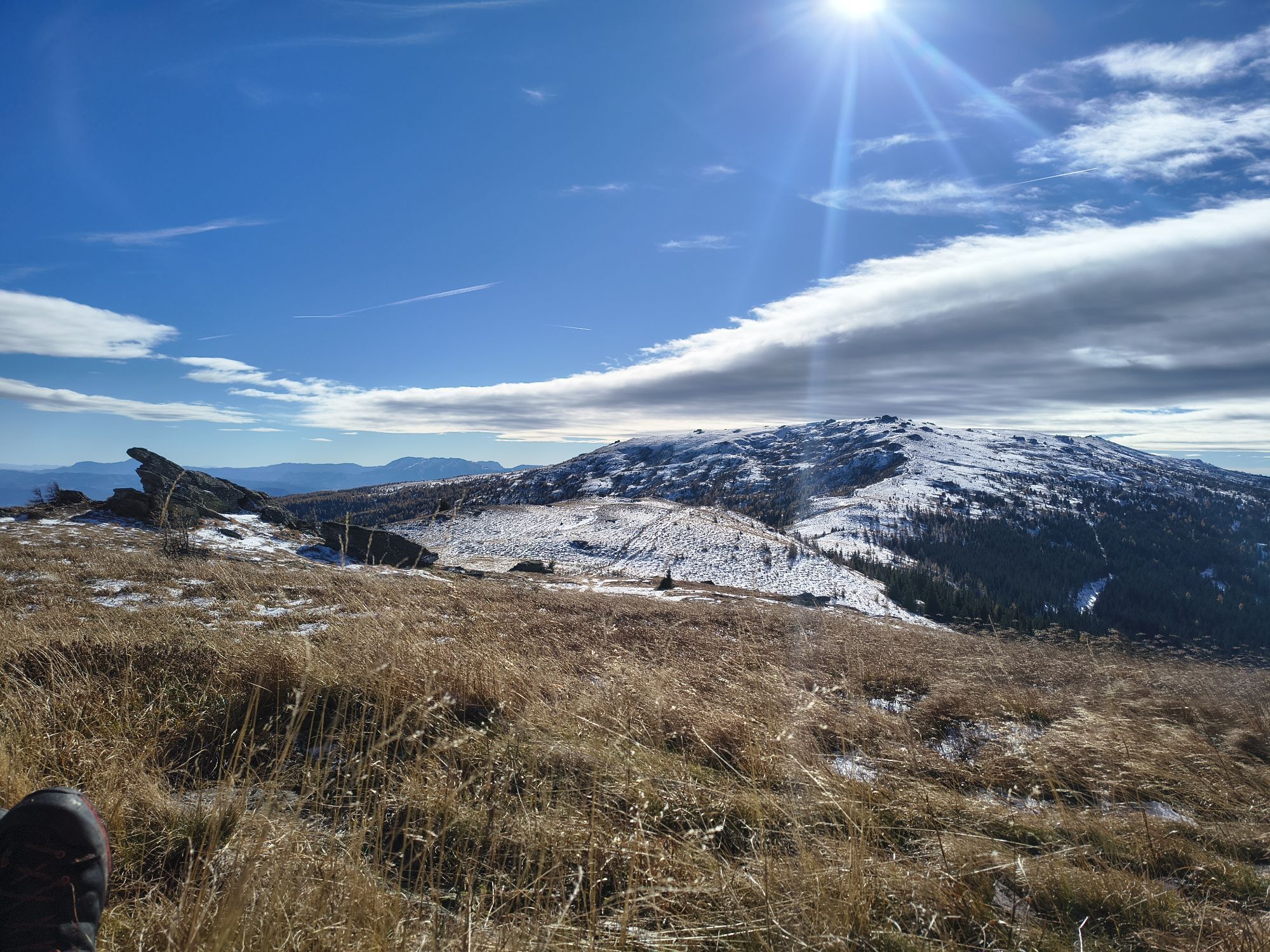
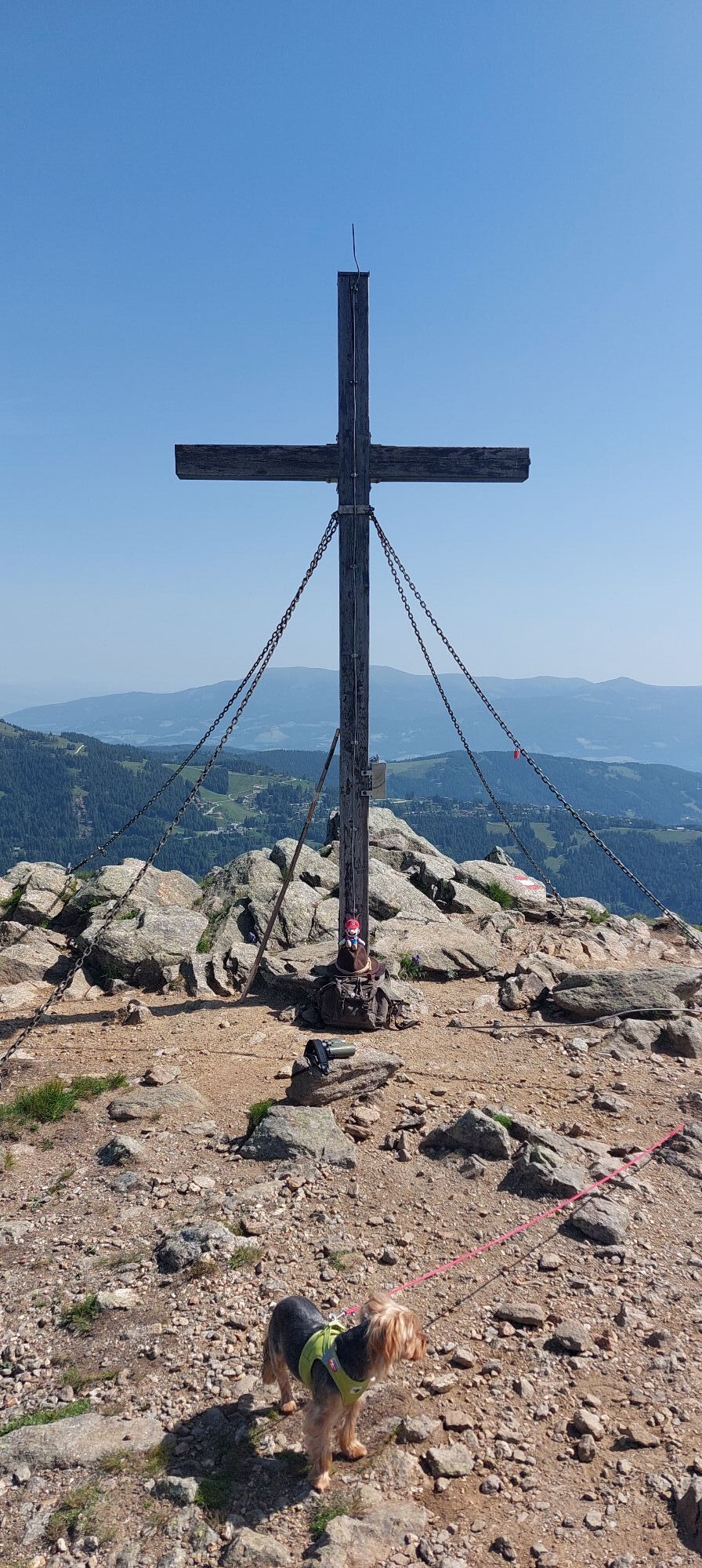
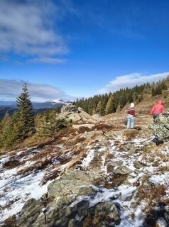
The Geierkogel loop trail no. G is a beautiful circular route with wonderful views across the whole Lavanttal and Görtschitztal. From the Geierkogel cross you can see the Zirbitzkogel to the north, the Gurktal Alps to the west, the Karawanks to the south, and the Koralpe to the east.
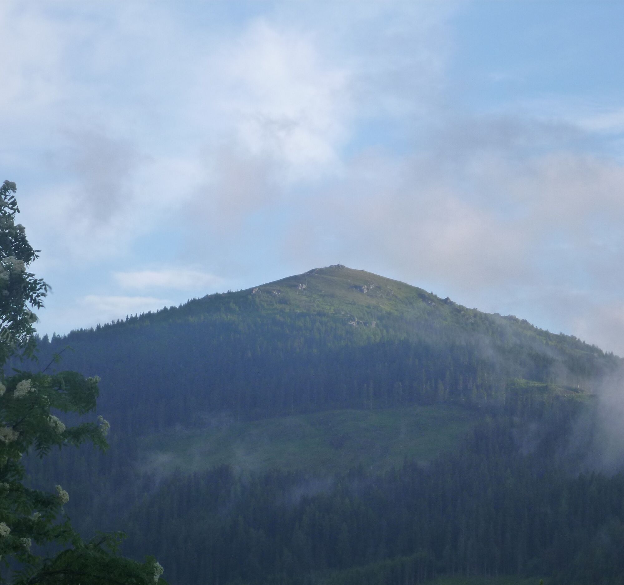
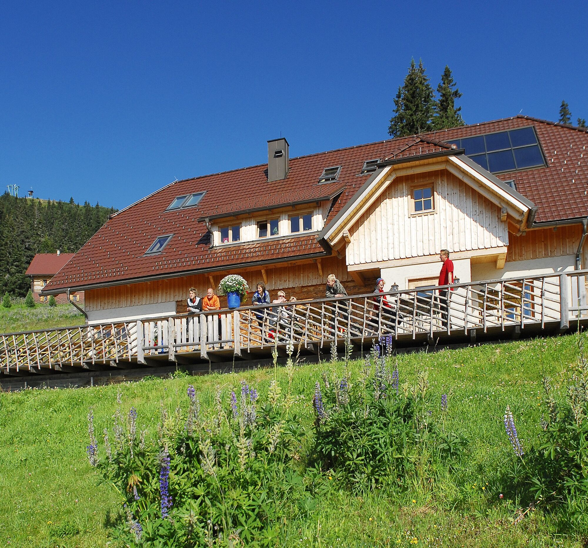
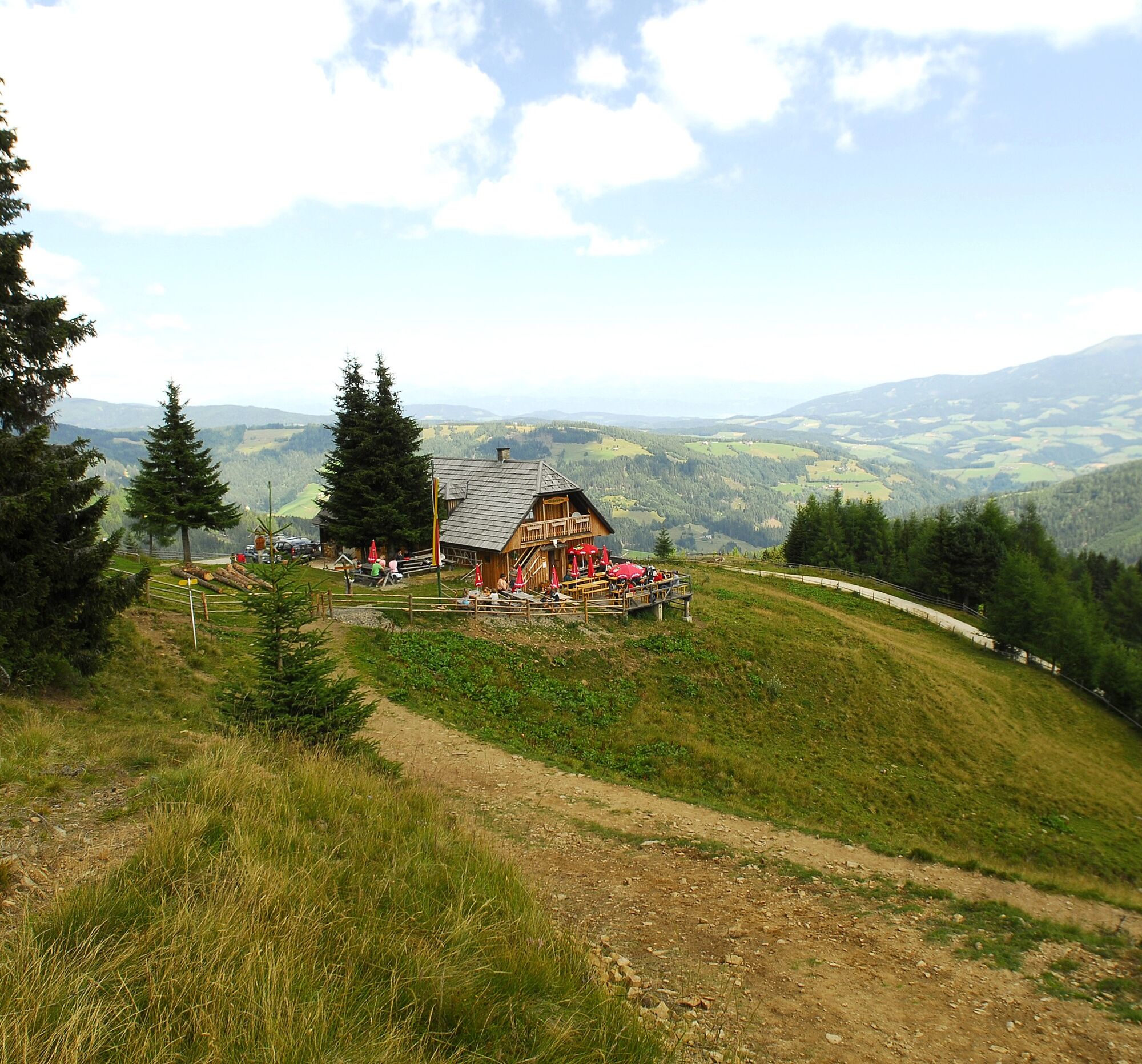
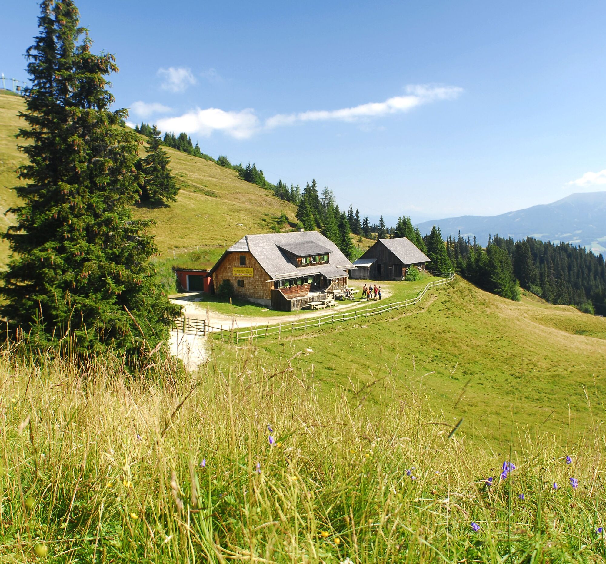
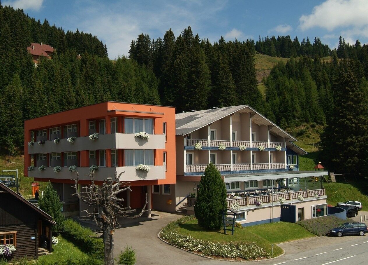
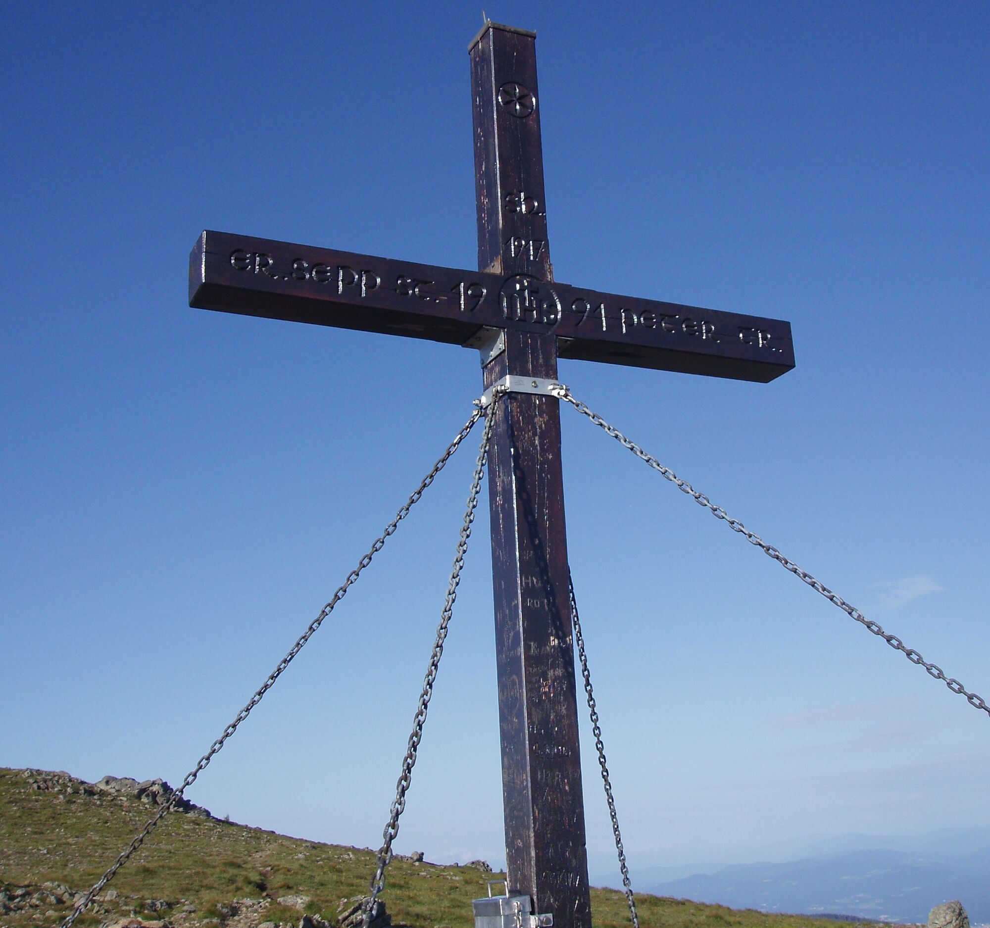
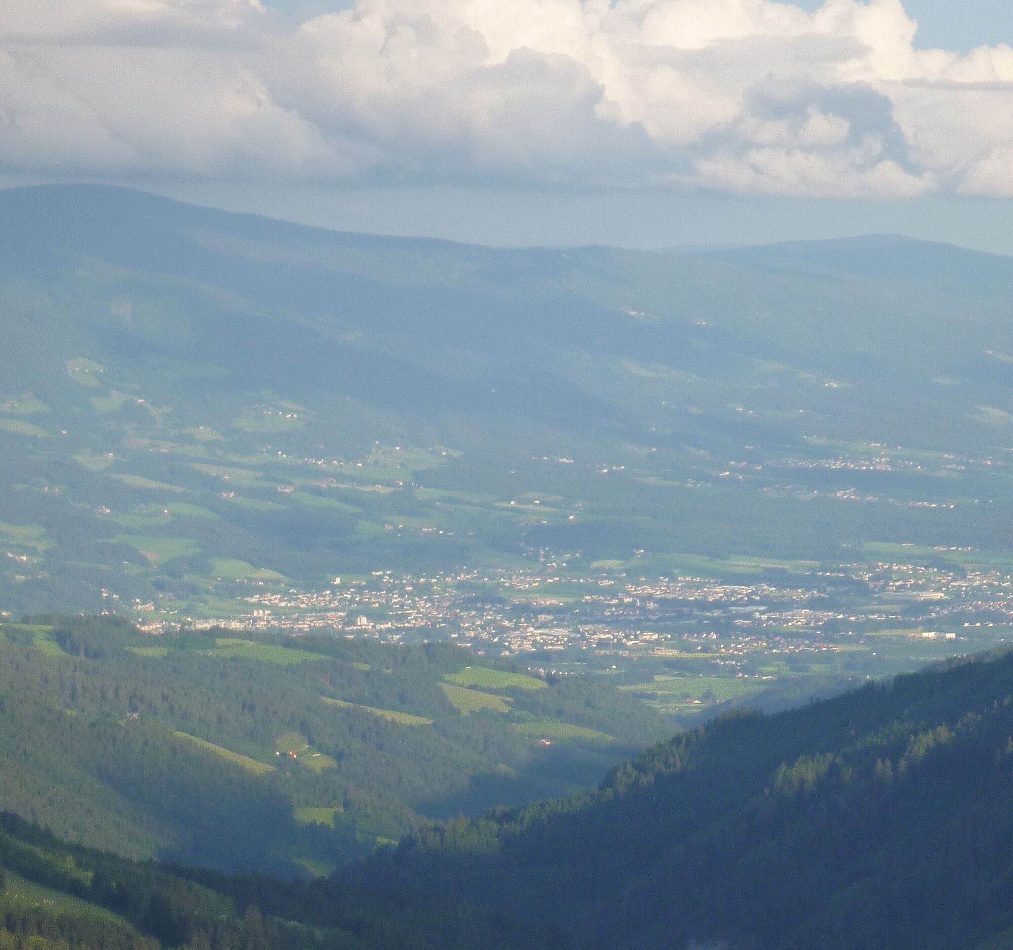

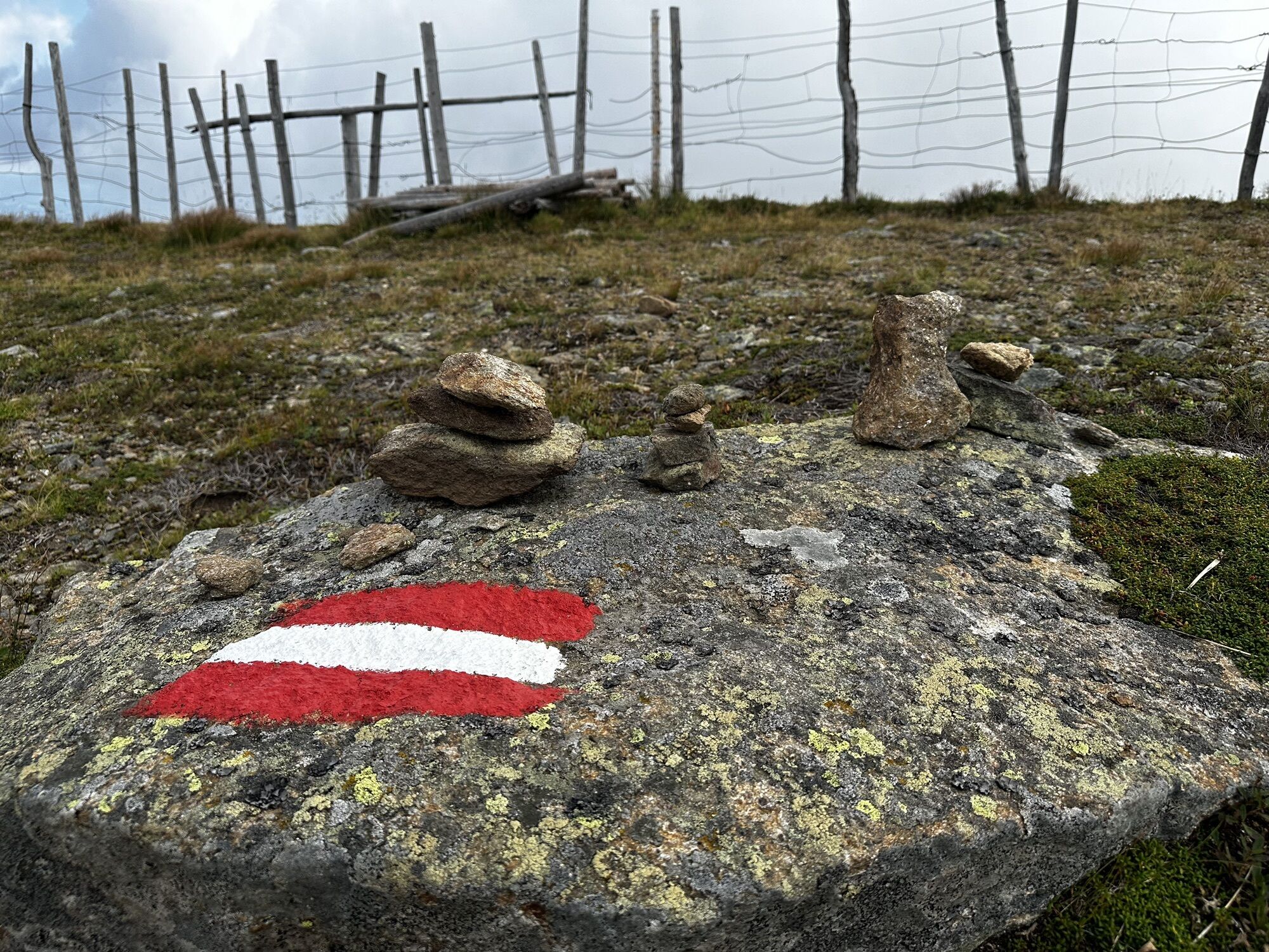
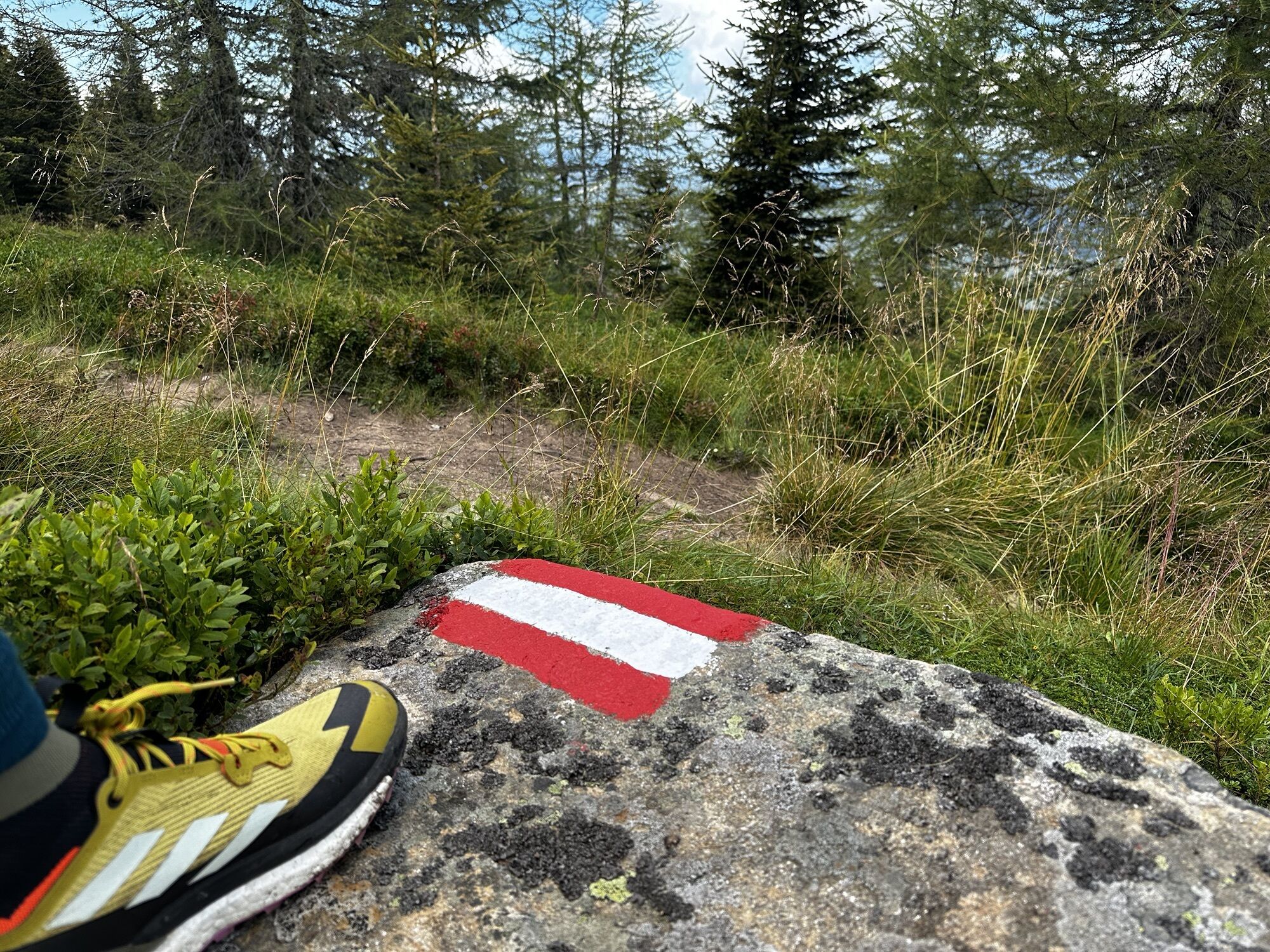
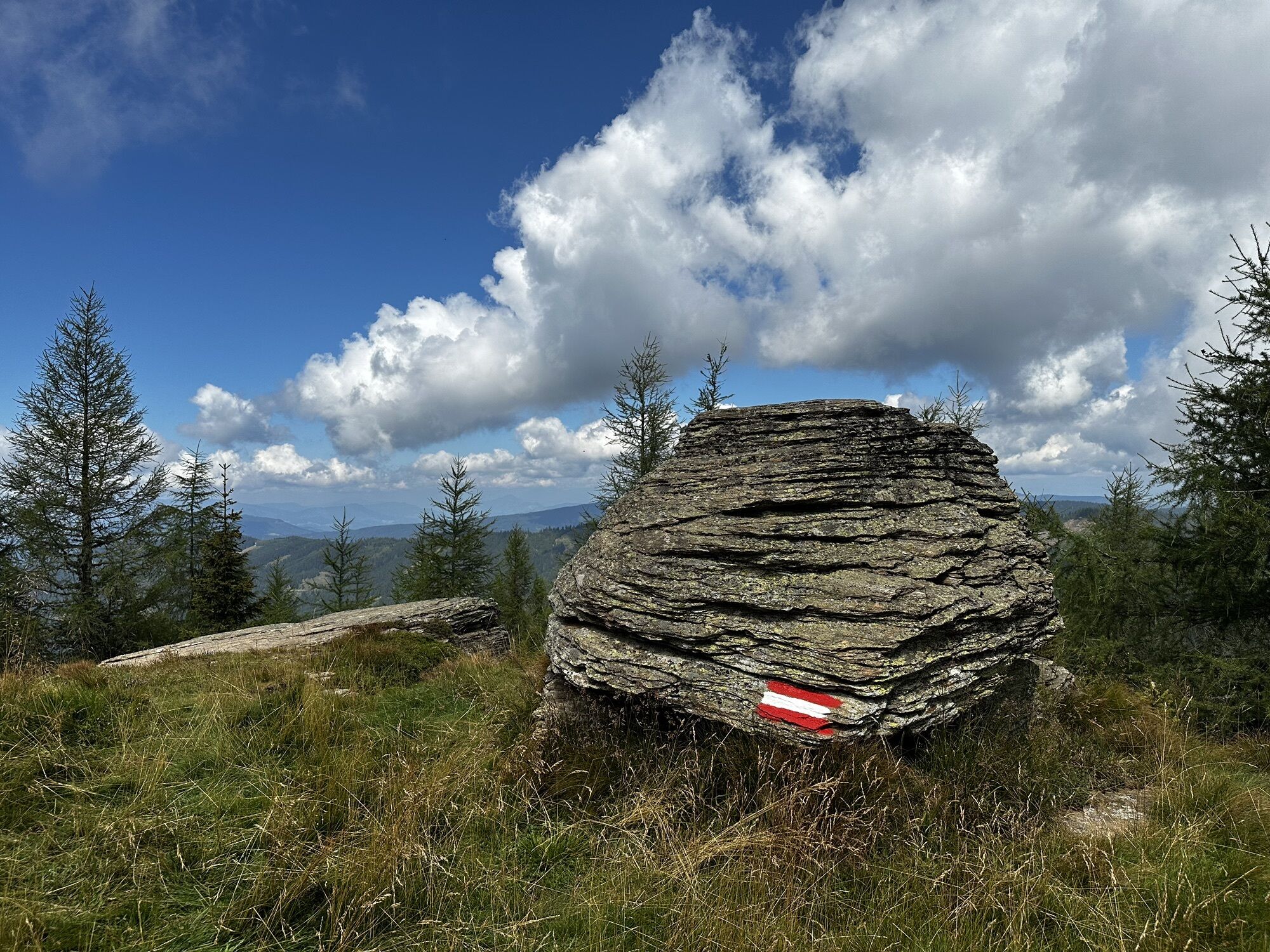
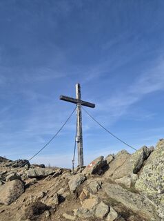
From the car park above the Naturfreundehaus, follow the signs "Geierkogel G". After about an hour's walk, you reach the Geierkogel cross or Geierkogel at 1,917 m.
Continue following the signs for trail no. G towards Forstalpe to the Litzer Valley. On the return, we bypass the Geierkogel to the east via the Lavanttal high trail trail no. 308/G and return to the starting point at the car park above the Naturfreundehaus (open all year).
Tak
hiking boots, rainwear
From Graz/Klagenfurt - A2 South - exit Bad St. Leonhard to the B78 Obdacherbundesstrasse. Turn right towards Kliening - Klippitztörl. Along the Klippitztörl state road to the car park above the Naturfreundehaus Klippitztörl on the Klippitztörl state road. (about 10 km)
July/August hiking bus
Car park above the Naturfreundehaus Klippitztörl on the Klippitztörl state road.



Kamery internetowe z trasy
Uzyskaj wgląd
Zawsze na żywo z ponad 9 500 kamer internetowych. bergfex Jako użytkownik Pro, możesz teraz zobaczyć odpowiednie kamery internetowe dla wielu wycieczek w aplikacji wycieczki od. Pozwala to na bezpośredni podgląd aktualnych warunków.
Aktywności na trasie
-

Hüttenberg, Kärnten/Österreich
24.05.2026 – Jazda na rowerze -
Wolfsberg, Kärnten/Österreich
26.04.2026 – Wędrówka -
Hüttenberg, Kärnten/Österreich
25.04.2026 – Wędrówka -

Hüttenberg, Kärnten/Österreich
19.04.2026 – Wędrówka -

Geierkogel Runde 20260315
15.03.2026 – Rakieta do chodzenia po śniegu -
Hüttenberg, Kärnten/Österreich
07.03.2026 – Wędrówka -

Geierkogel - Klippitztörl
28.02.2026 – Wędrówka -

Hüttenberg Navigieren
24.01.2026 – Wędrówka -
Hüttenberg, Kärnten/Österreich
03.01.2026 – Wędrówka -
Wolfsberg, Kärnten/Österreich
21.12.2025 – Wędrówka -

Wolfsberg, Kärnten/Österreich
20.12.2025 – Przechadzka -
Hüttenberg, Kärnten/Österreich
30.10.2025 – Wędrówka -

Hüttenberg, Kärnten/Österreich
28.10.2025 – Wędrówka -
Hüttenberg, Kärnten/Österreich
27.10.2025 – Wędrówka -
Hüttenberg, Kärnten/Österreich
19.10.2025 – Wędrówka -
Hüttenberg, Kärnten/Österreich
31.08.2025 – Wędrówka -
Hüttenberg, Kärnten/Österreich
31.08.2025 – Wędrówka -
Hüttenberg, Kärnten/Österreich
27.08.2025 – Wędrówka -

Hüttenberg, Kärnten/Österreich
22.08.2025 – Wędrówka -
Wolfsberg, Kärnten/Österreich
19.08.2025 – Wędrówka
Popularne wycieczki w okolicy
-
4,3
Mariahilferweg
średniWędrówka 11,2 km -
4,1
Vom Klippitztörl auf die Forstalm mit Geierkogel und Steinerner Hochzeit.
średniWędrówka 10,5 km -
4,4
Bad St. Leonhard: L5 hike Kliening - Sauerbrun
średniWędrówka 9,49 km -
5,0
Weißbergerhütte - Gertrusk - Ladingerspitz
średniWędrówka 8,95 km -
4,8
Winter sun on the Saualm
światłoRakieta do chodzenia po śniegu 4,70 km -
4,2
Saualpen ridge – Speikkogel, Großer and Kleiner Sauofen
średniWędrówka 10,8 km -
4,6
Saualpe: Hut route - circular hike
średniWędrówka 15,3 km -
4,8
Klippitztörl: Tour 6 - Geierkogeltour
średniRakieta do chodzenia po śniegu 6,80 km -
3,9
Klippitztörl: circular hike
średniWędrówka 10,1 km -
4,1
Althofen Wald Ausichtsweg
światłoWędrówka 3,94 km

Wędrówki i tropienie


Nie przegap ofert i inspiracji na następne wakacje
Twój adres e-mail została dodana do listy mailingowej.





