







Weißbergerhütte - Gertrusk - Ladingerspitz

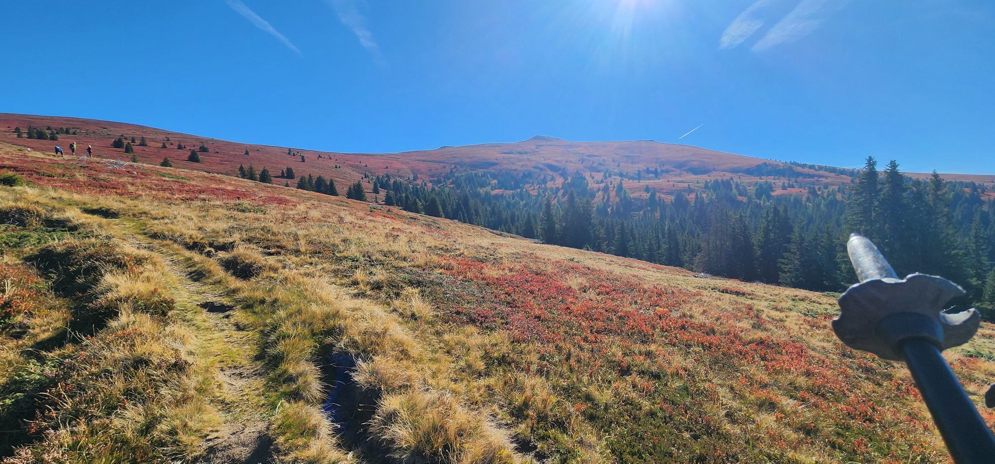
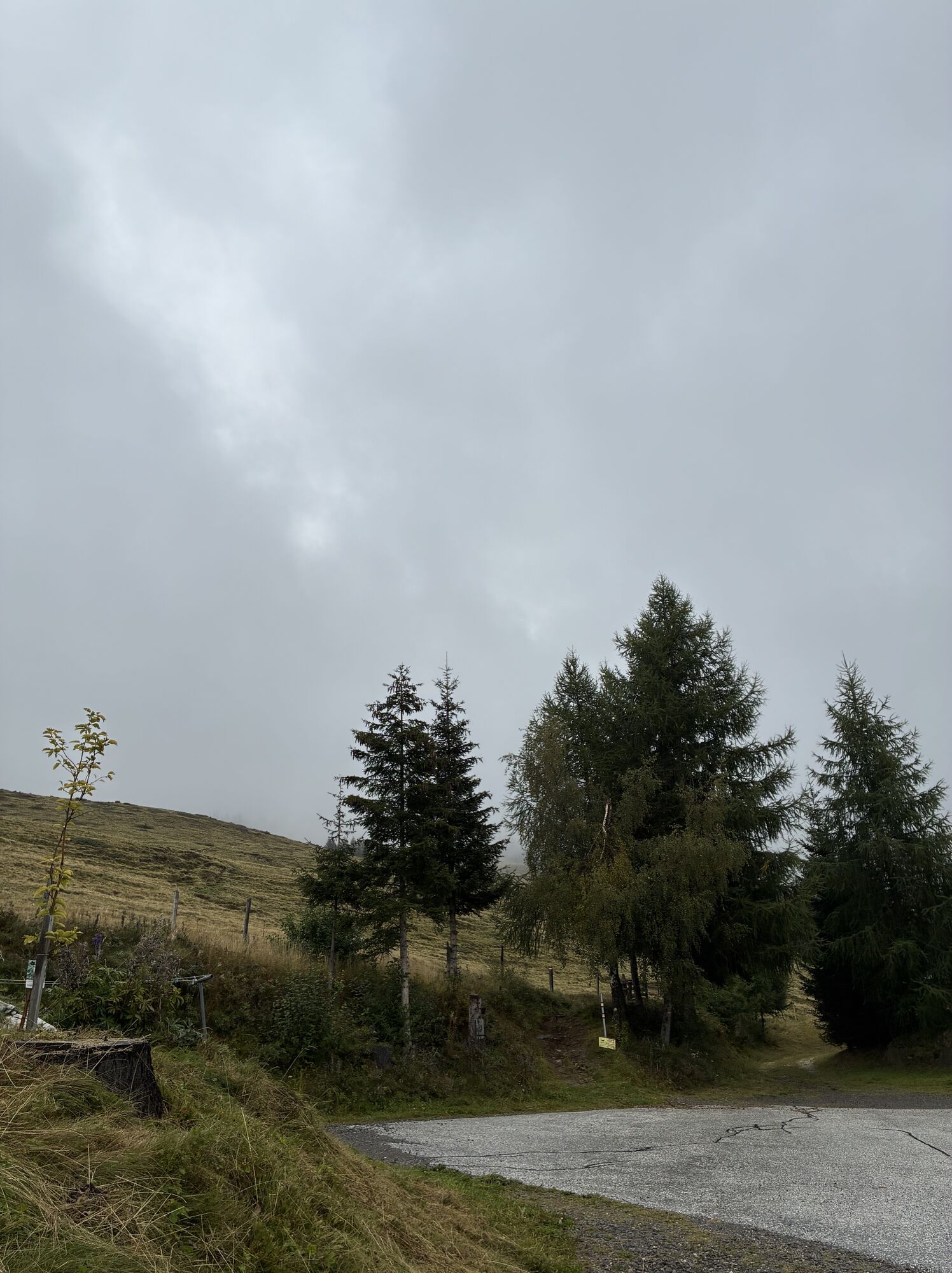
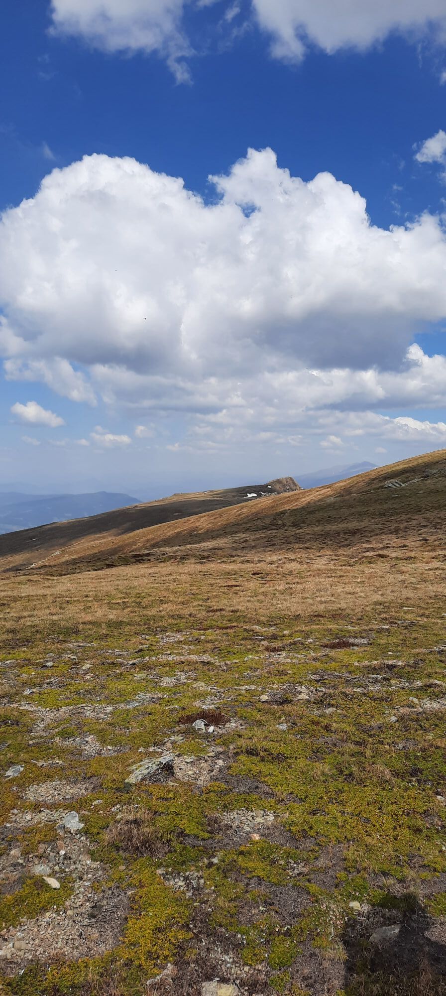
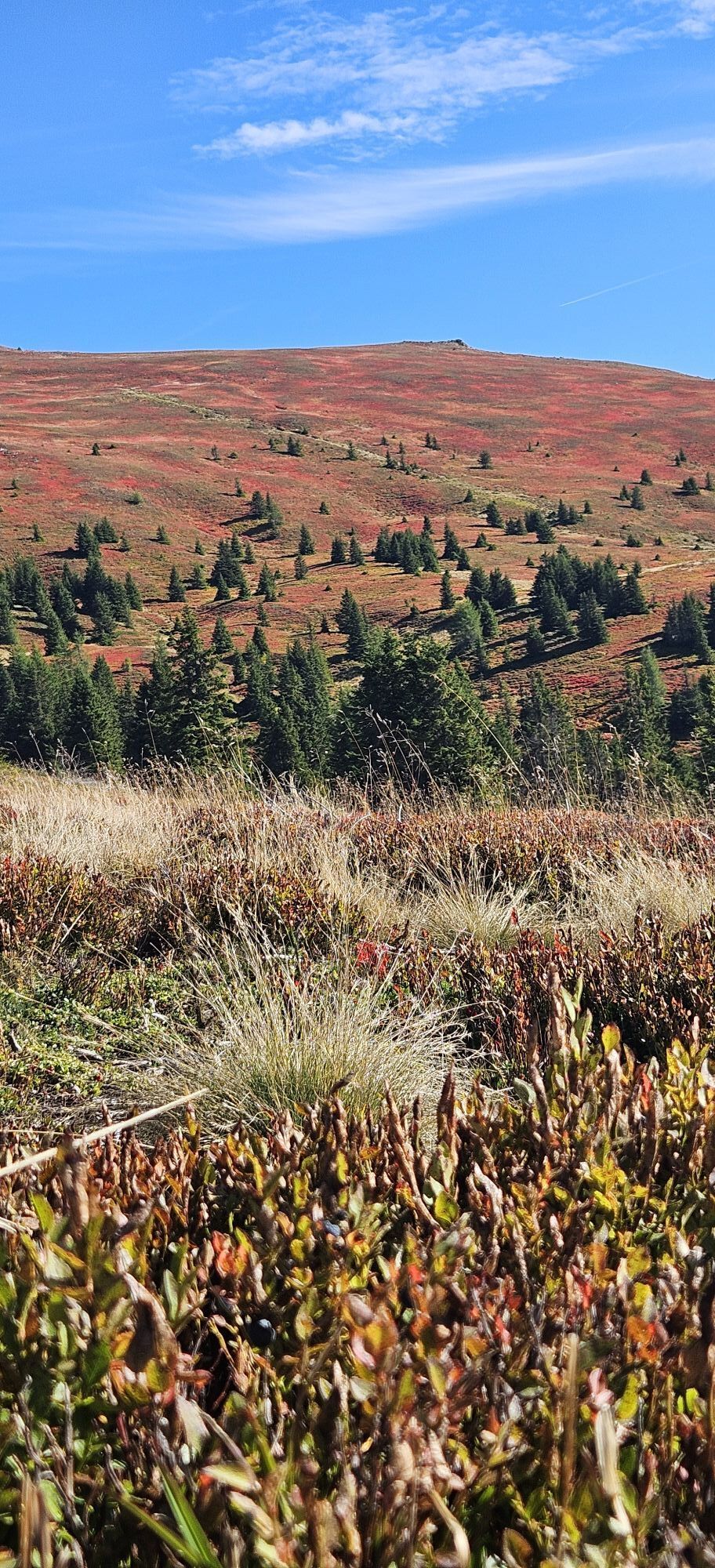
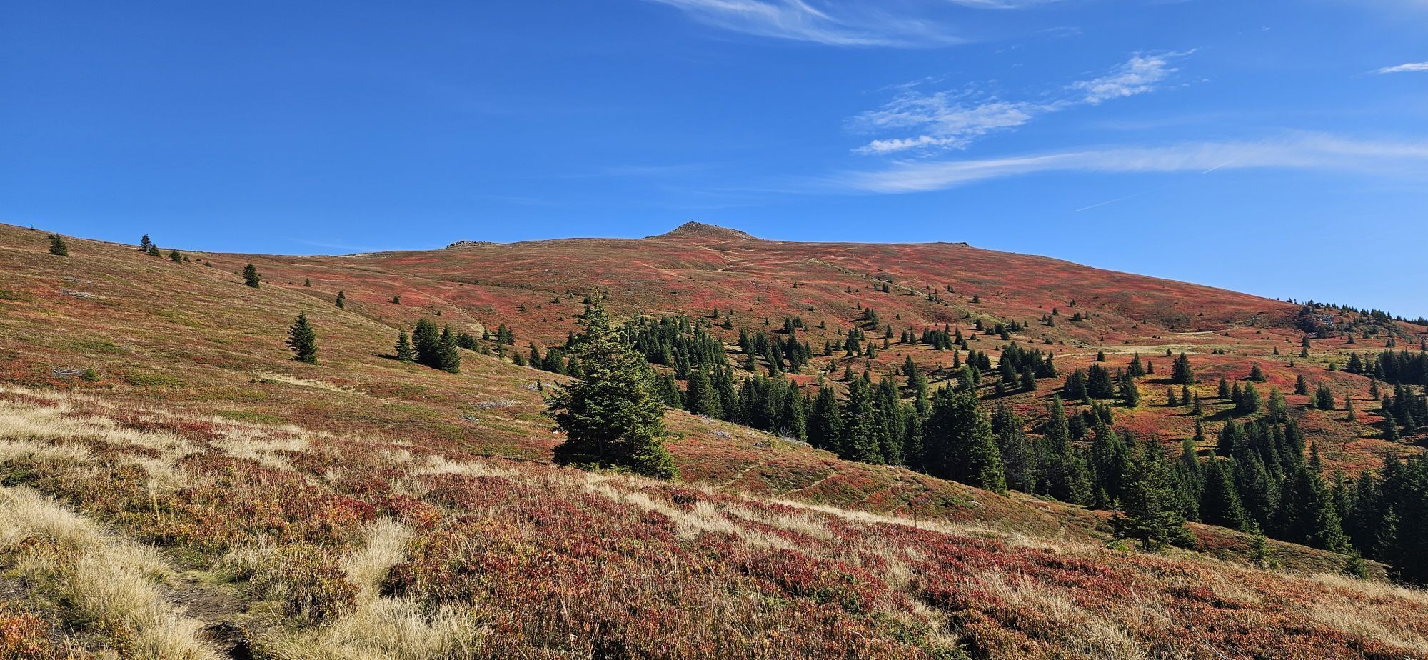
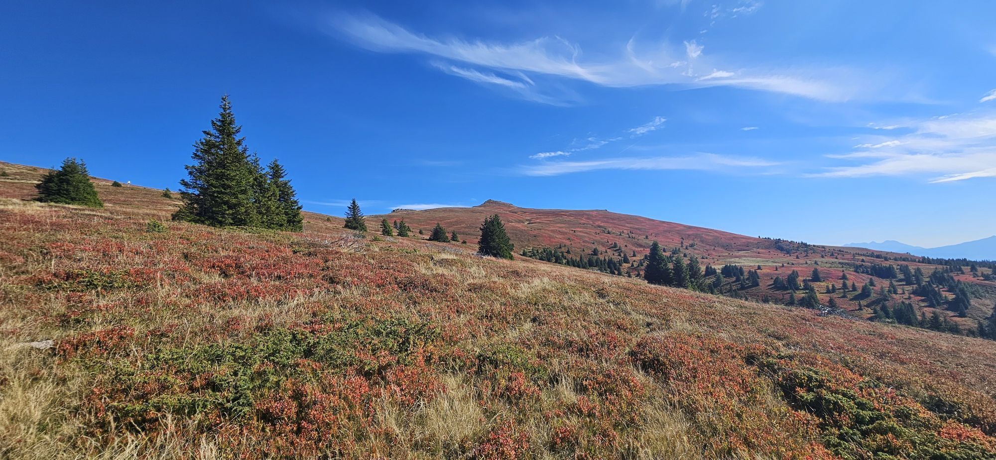

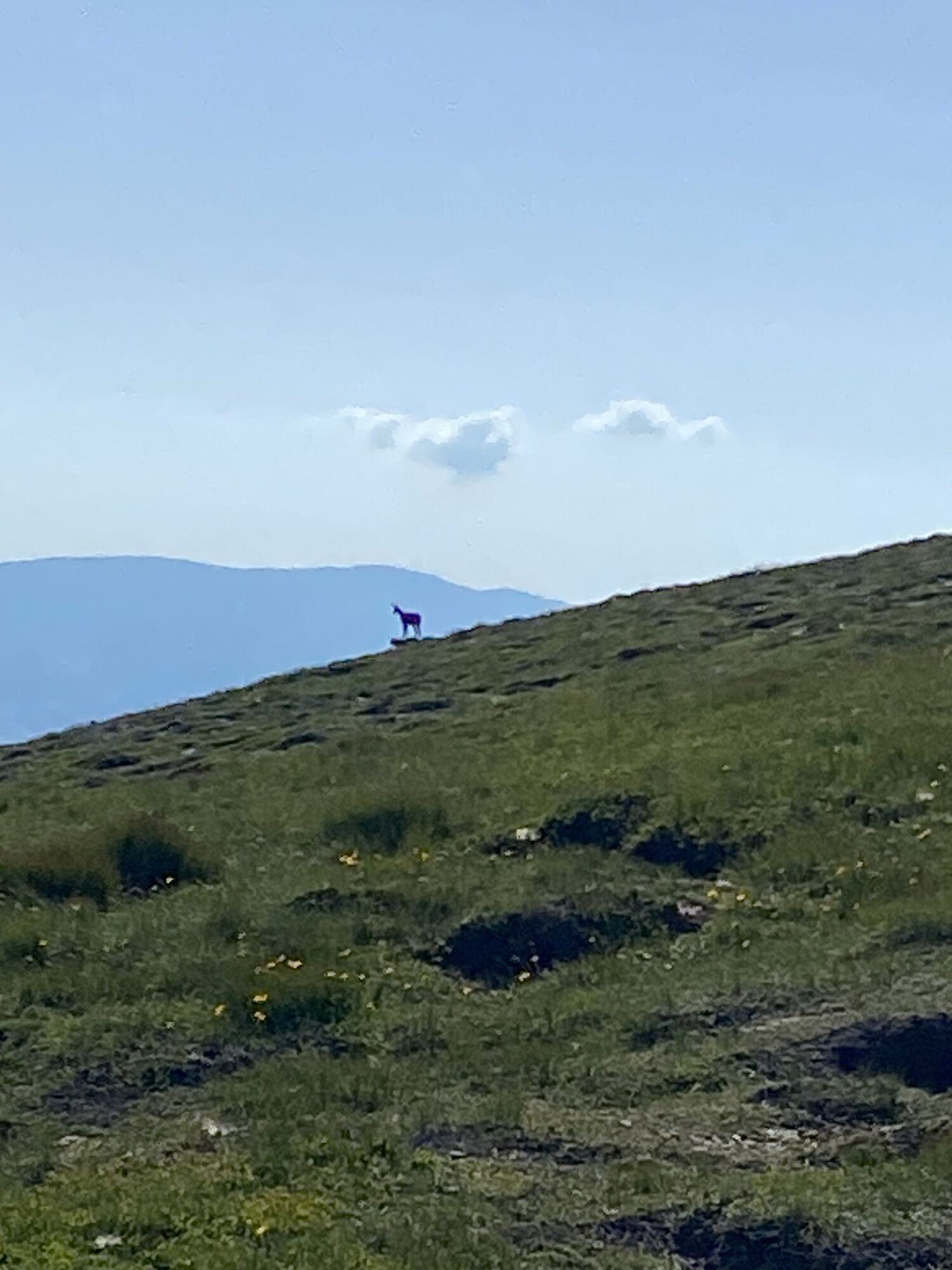
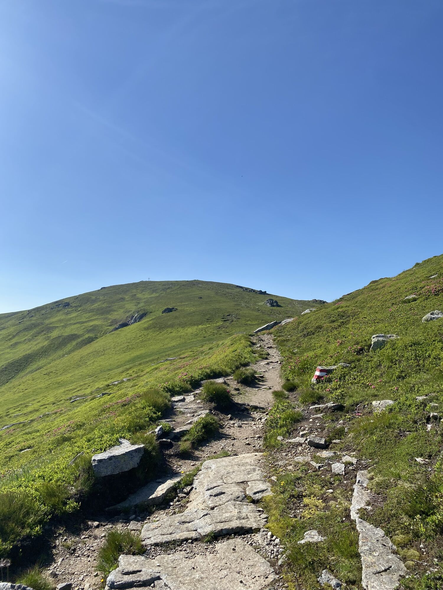
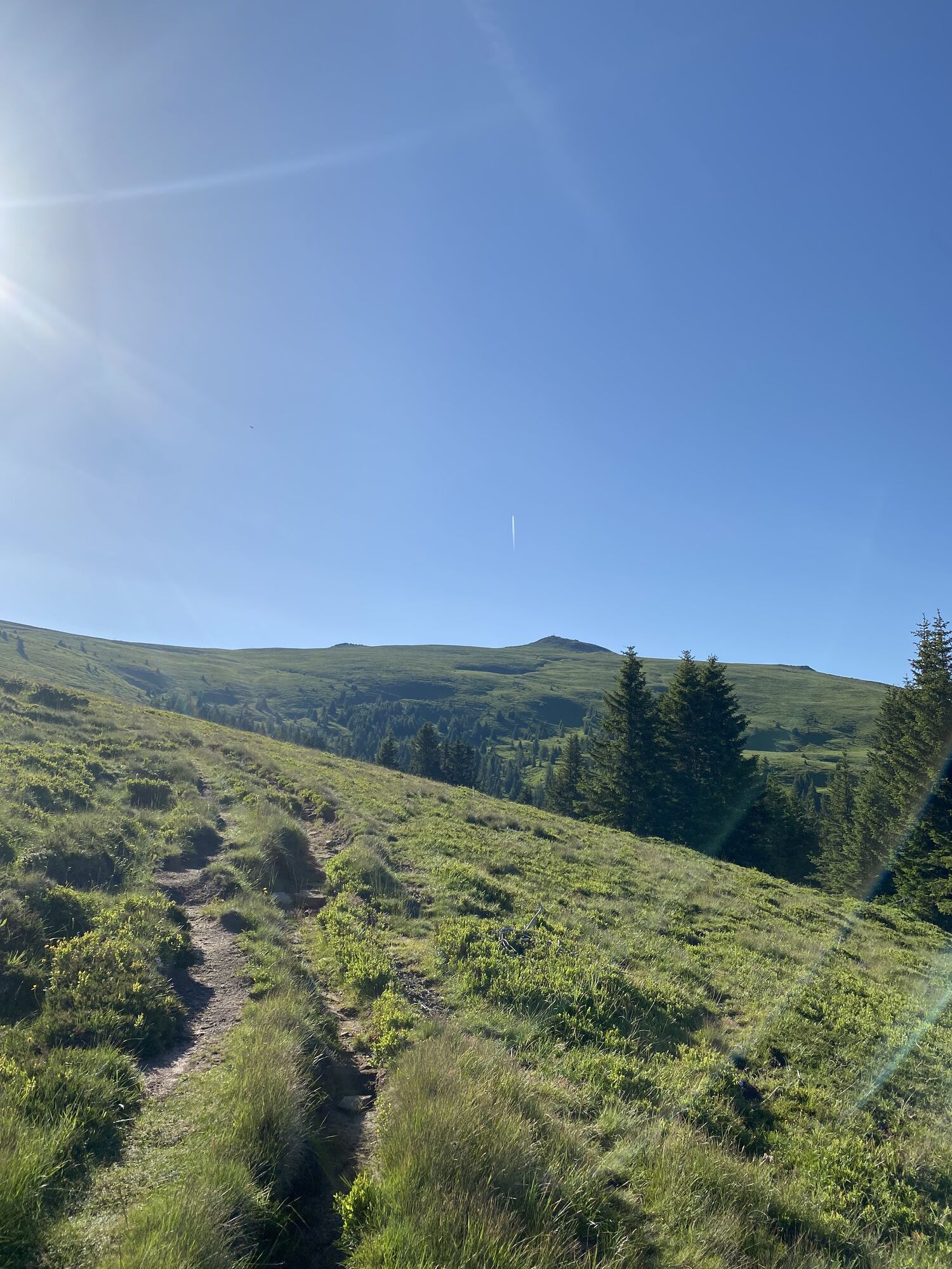
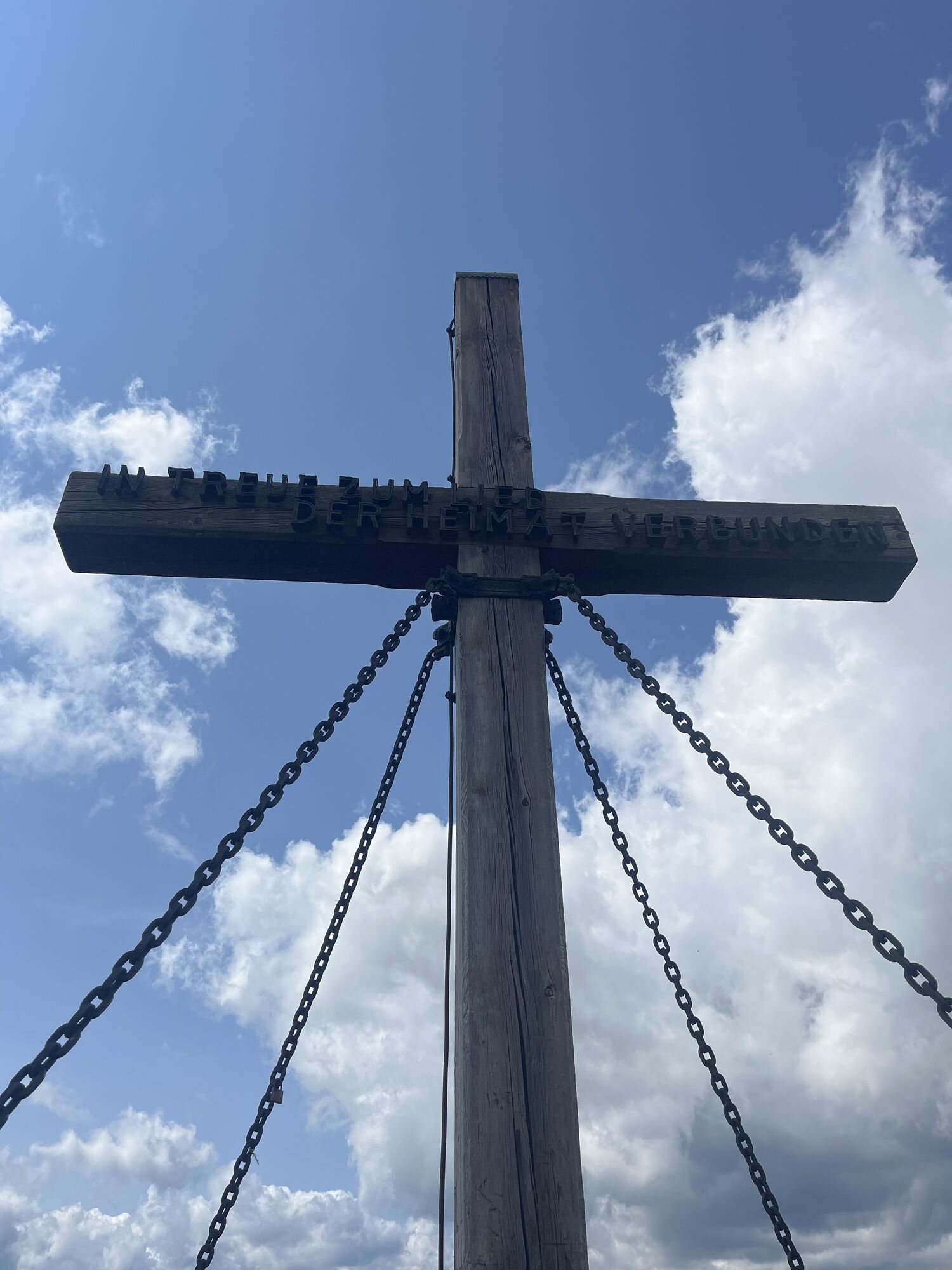
From the Weißbergerhütte, you first follow the signposted Almboden hiking trail 343 for just under an hour, which runs alongside the lift track, to the first beautiful viewpoint on our hike - the Iron...
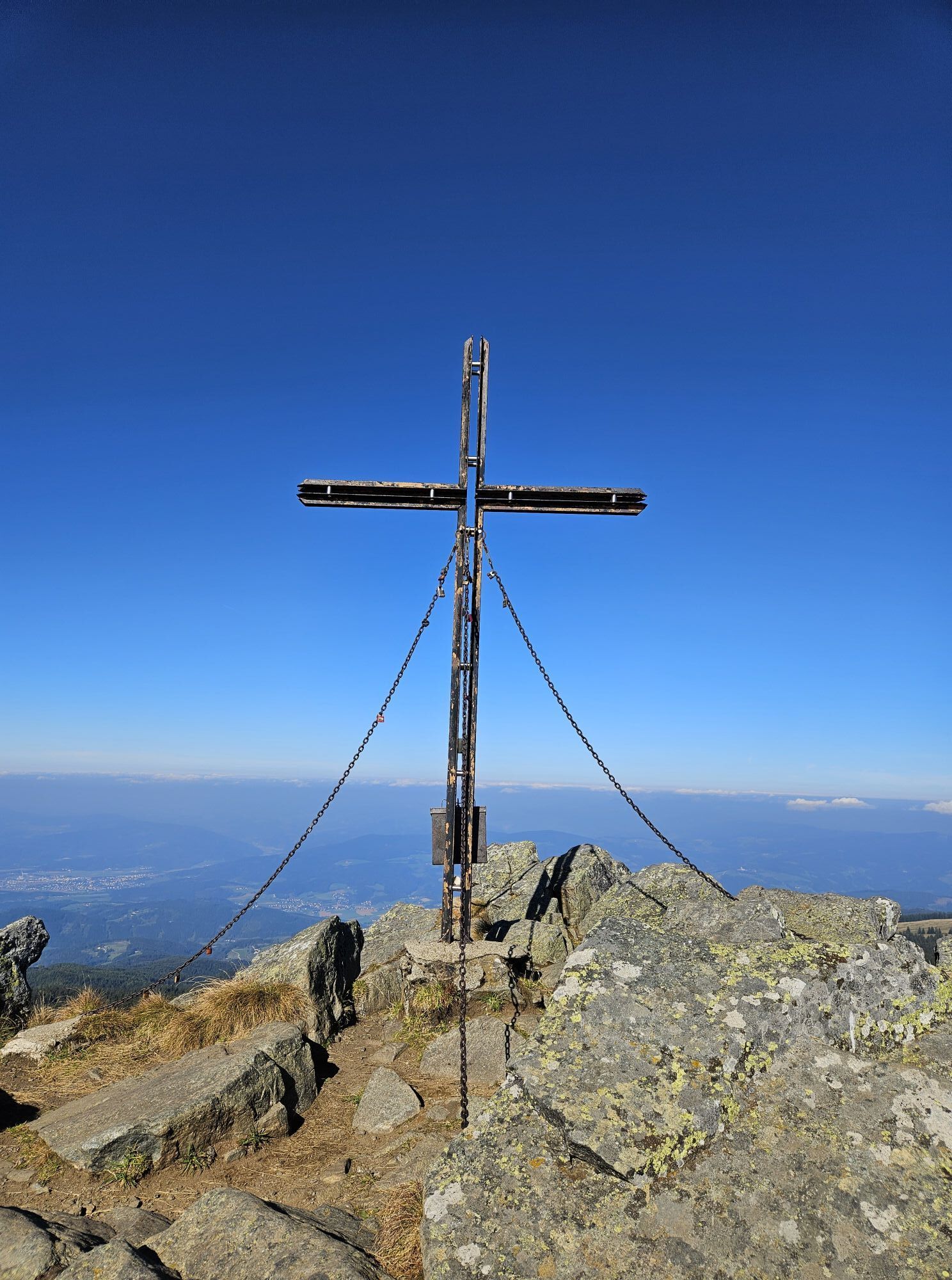
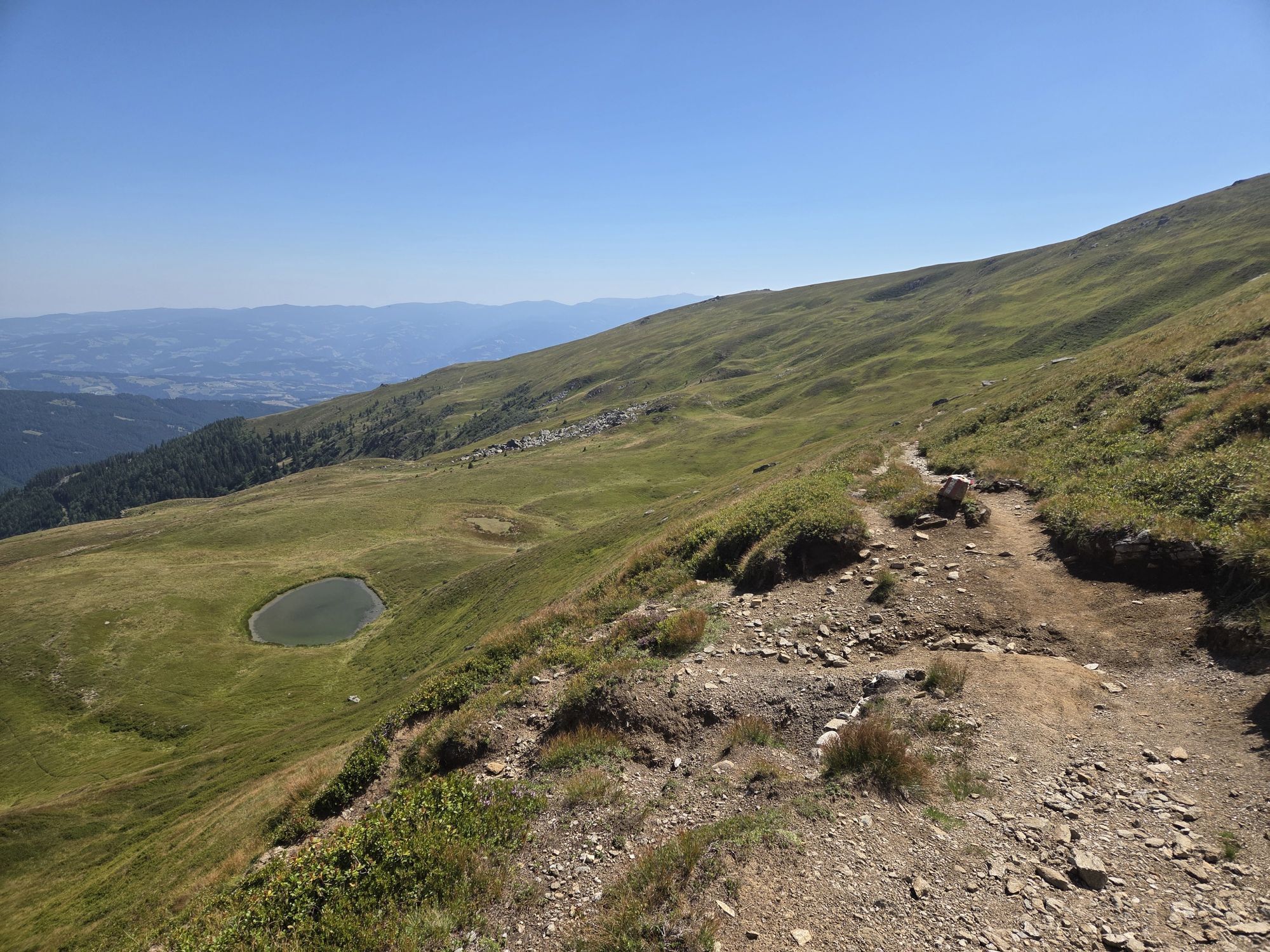
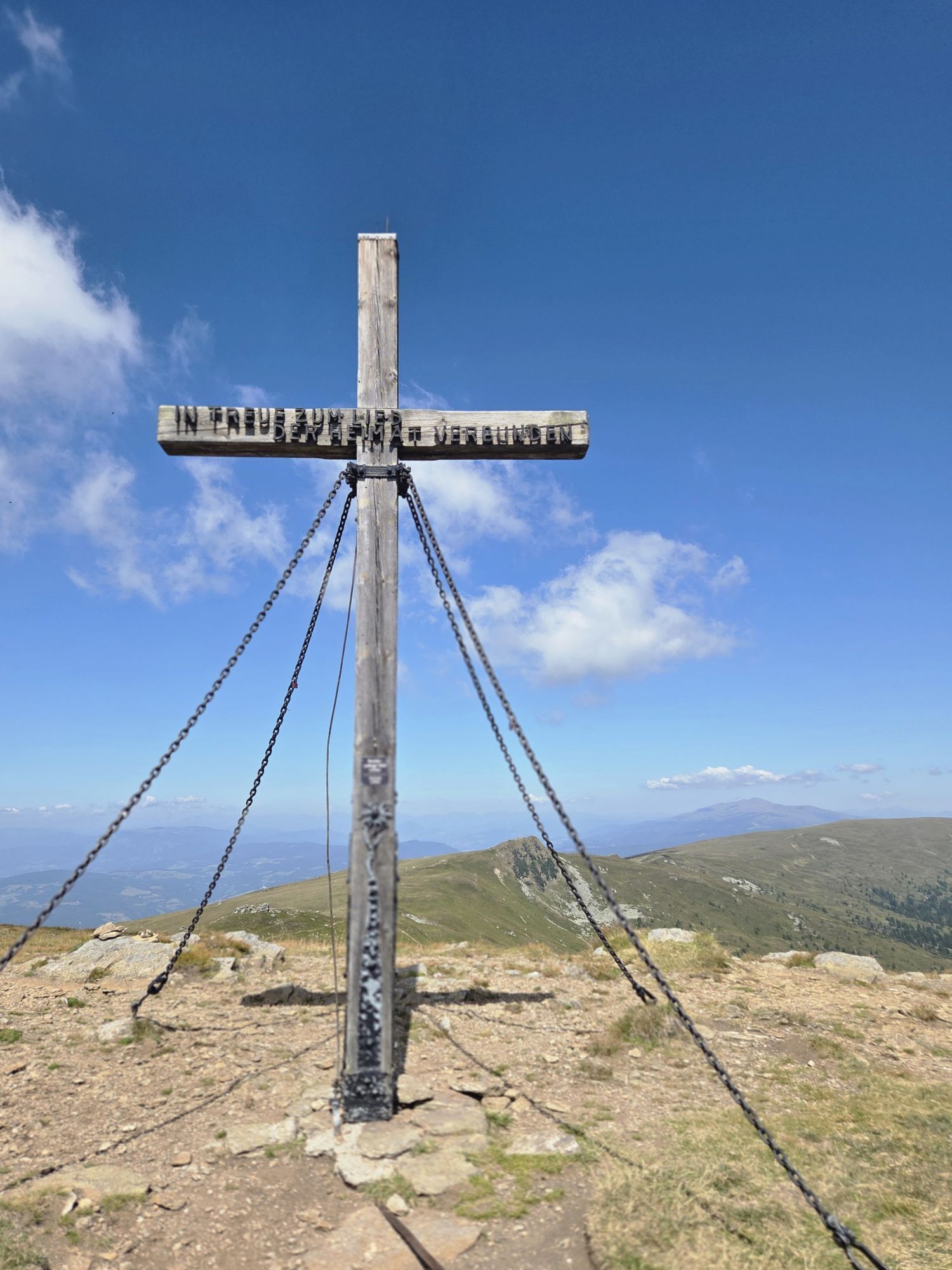
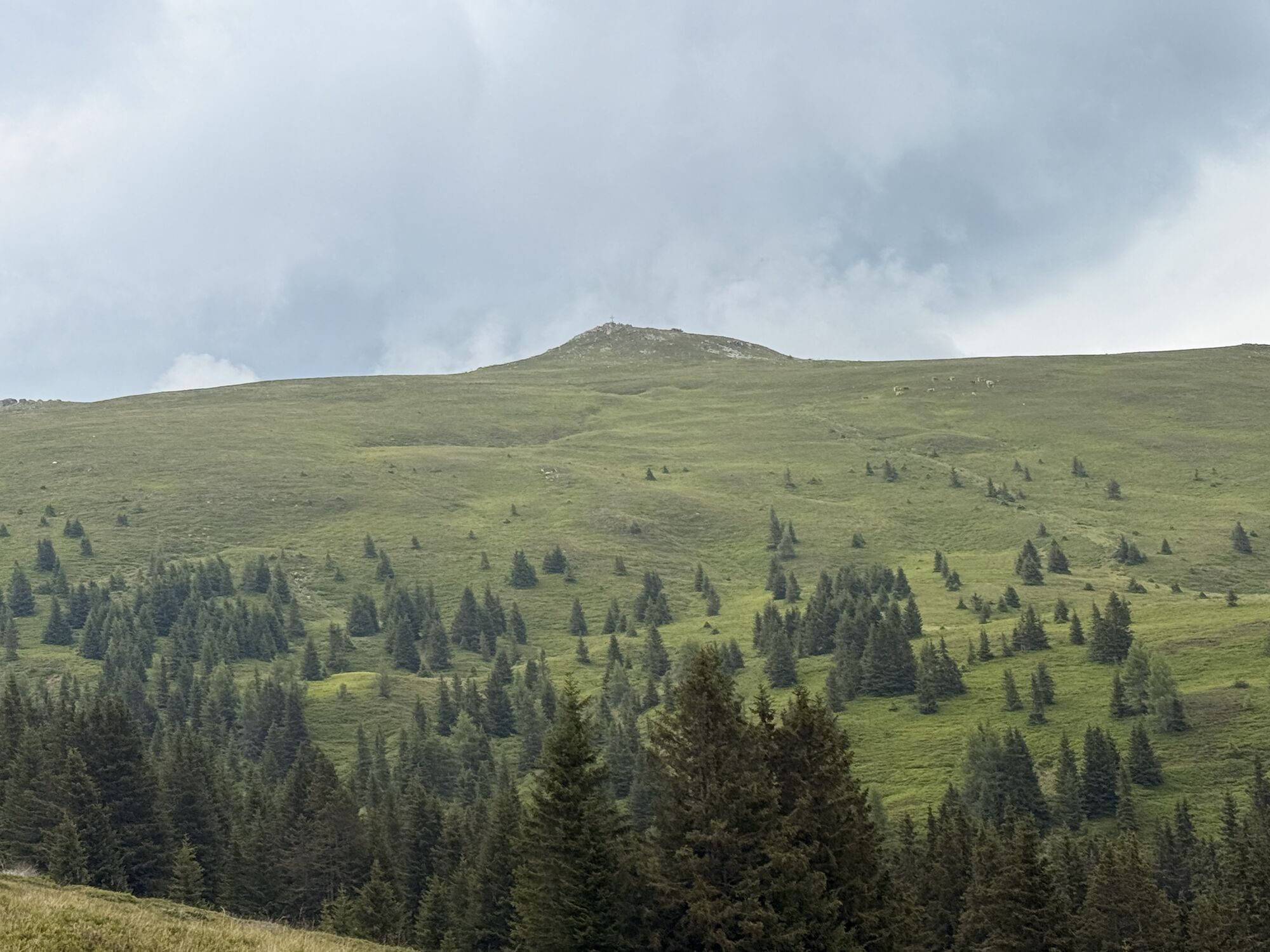
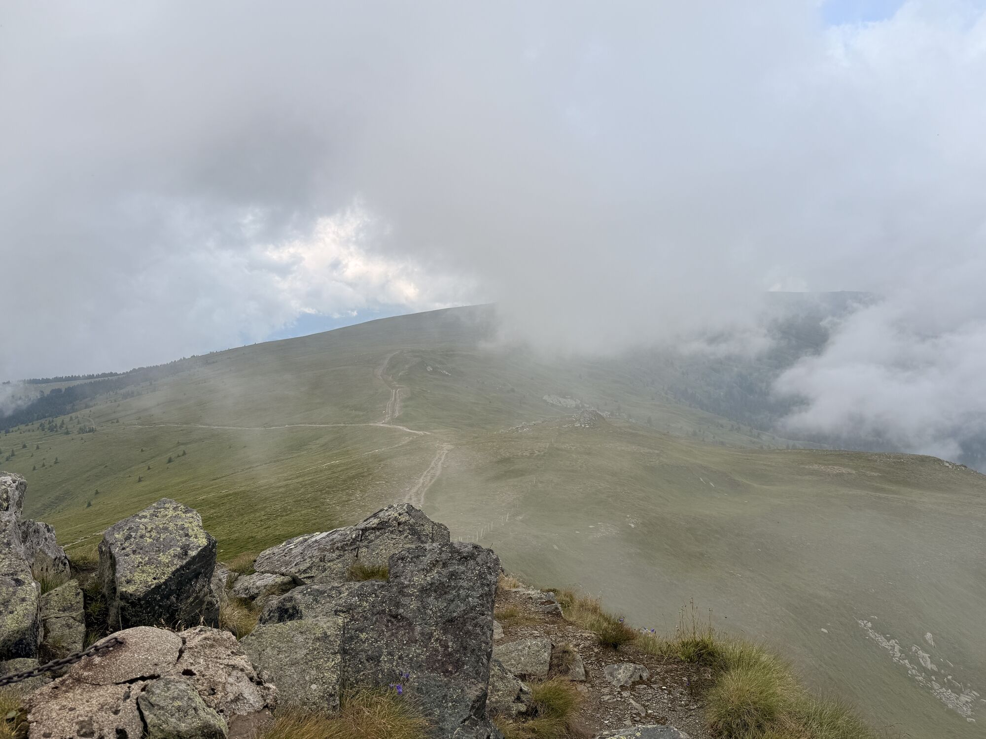
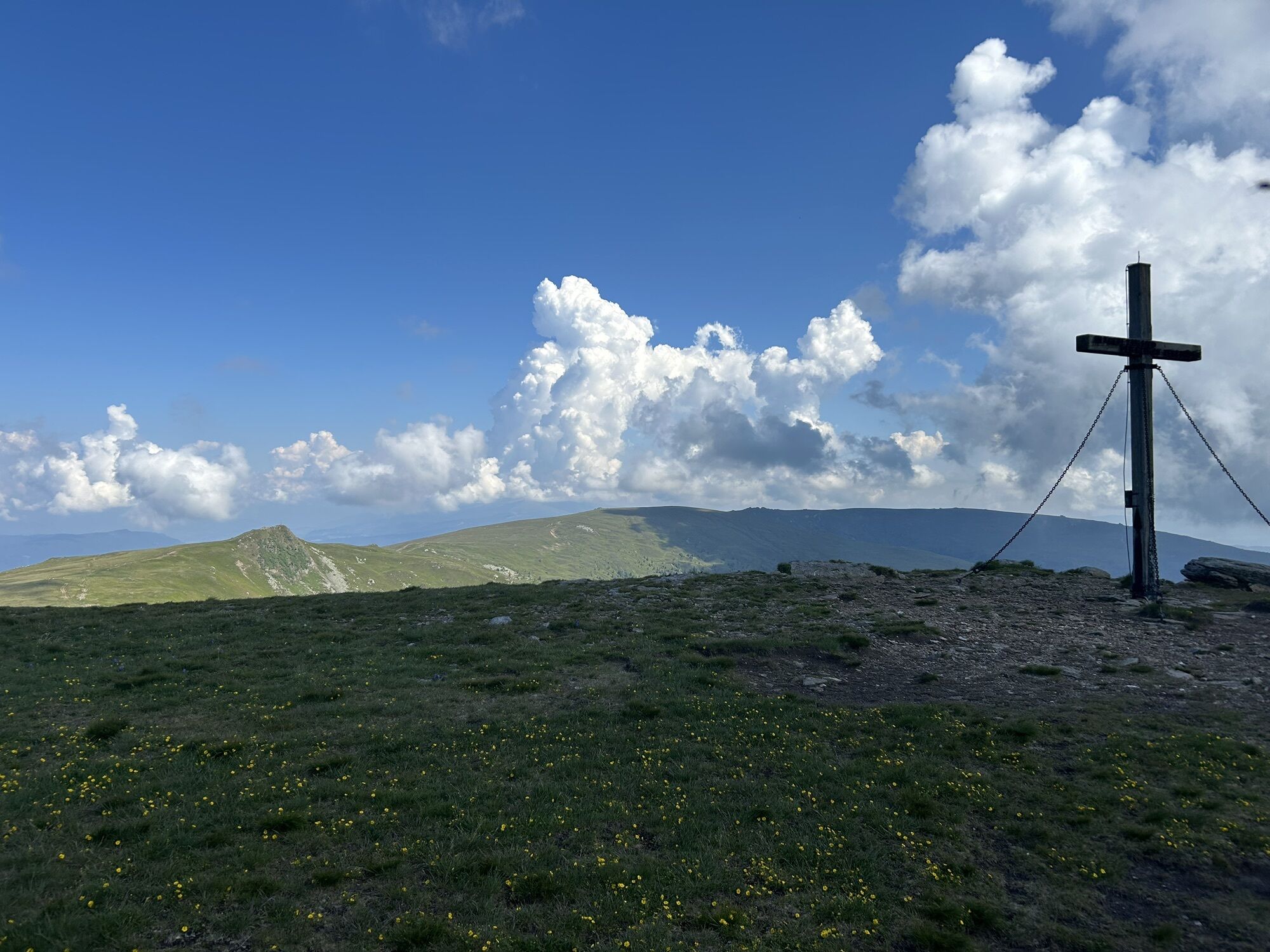
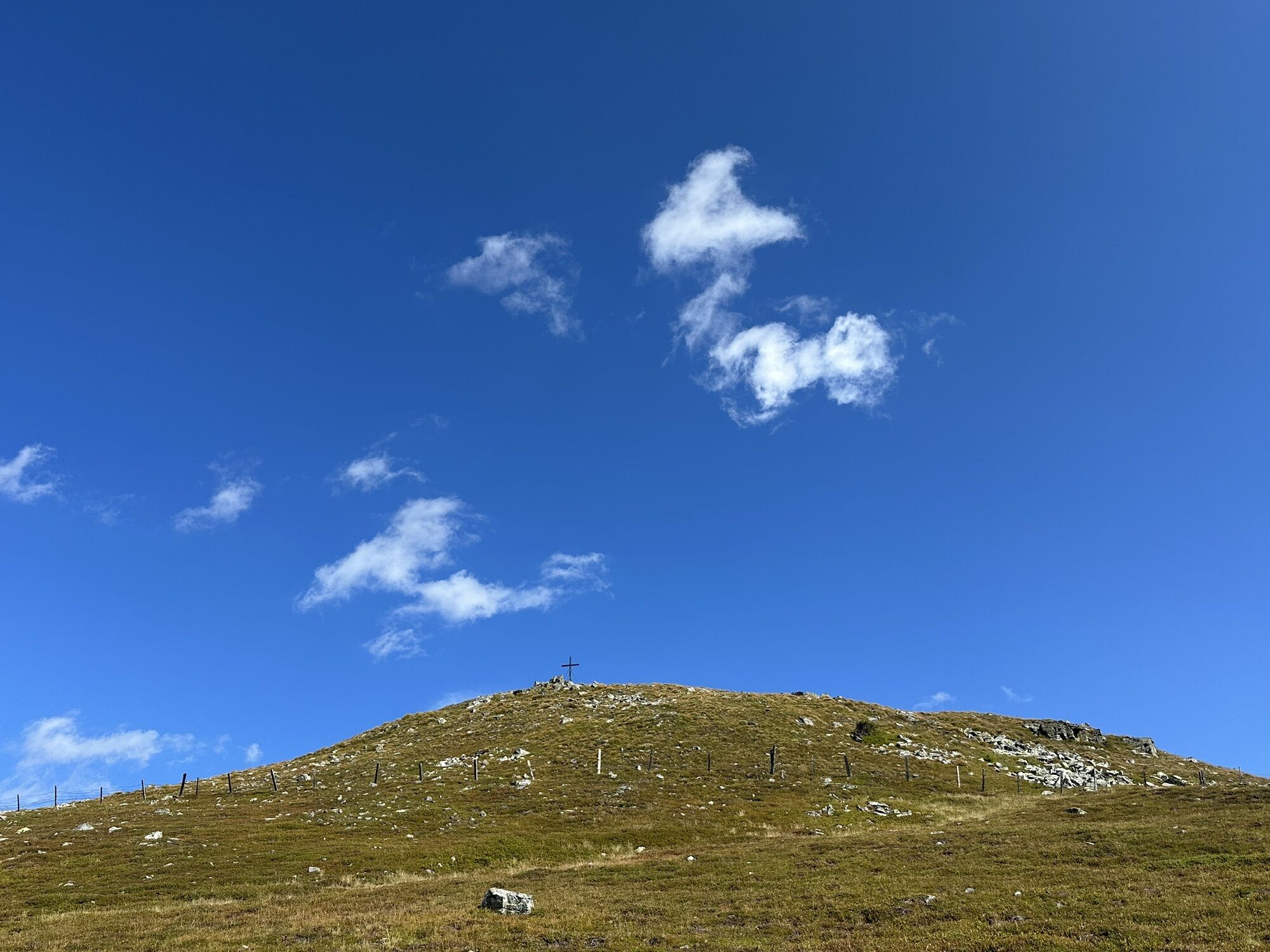
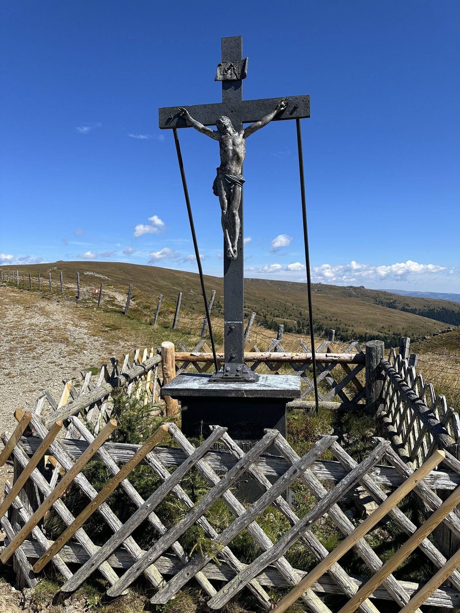
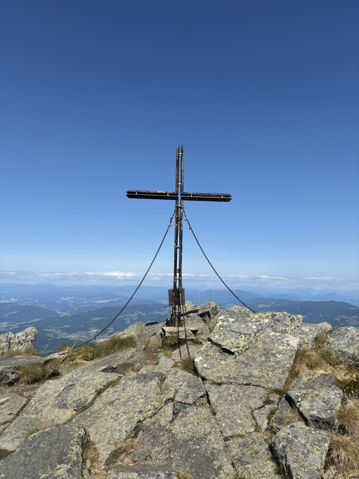
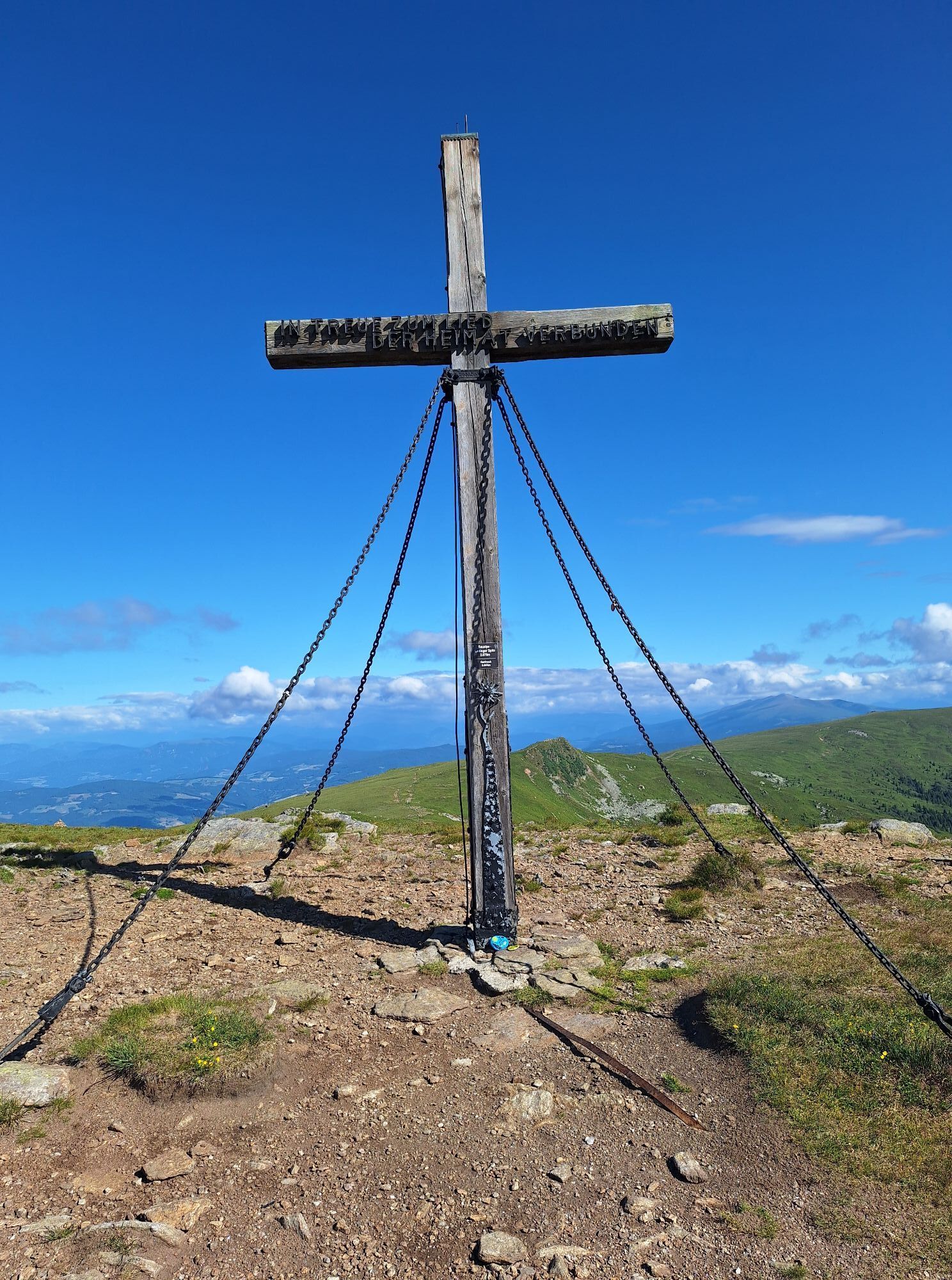
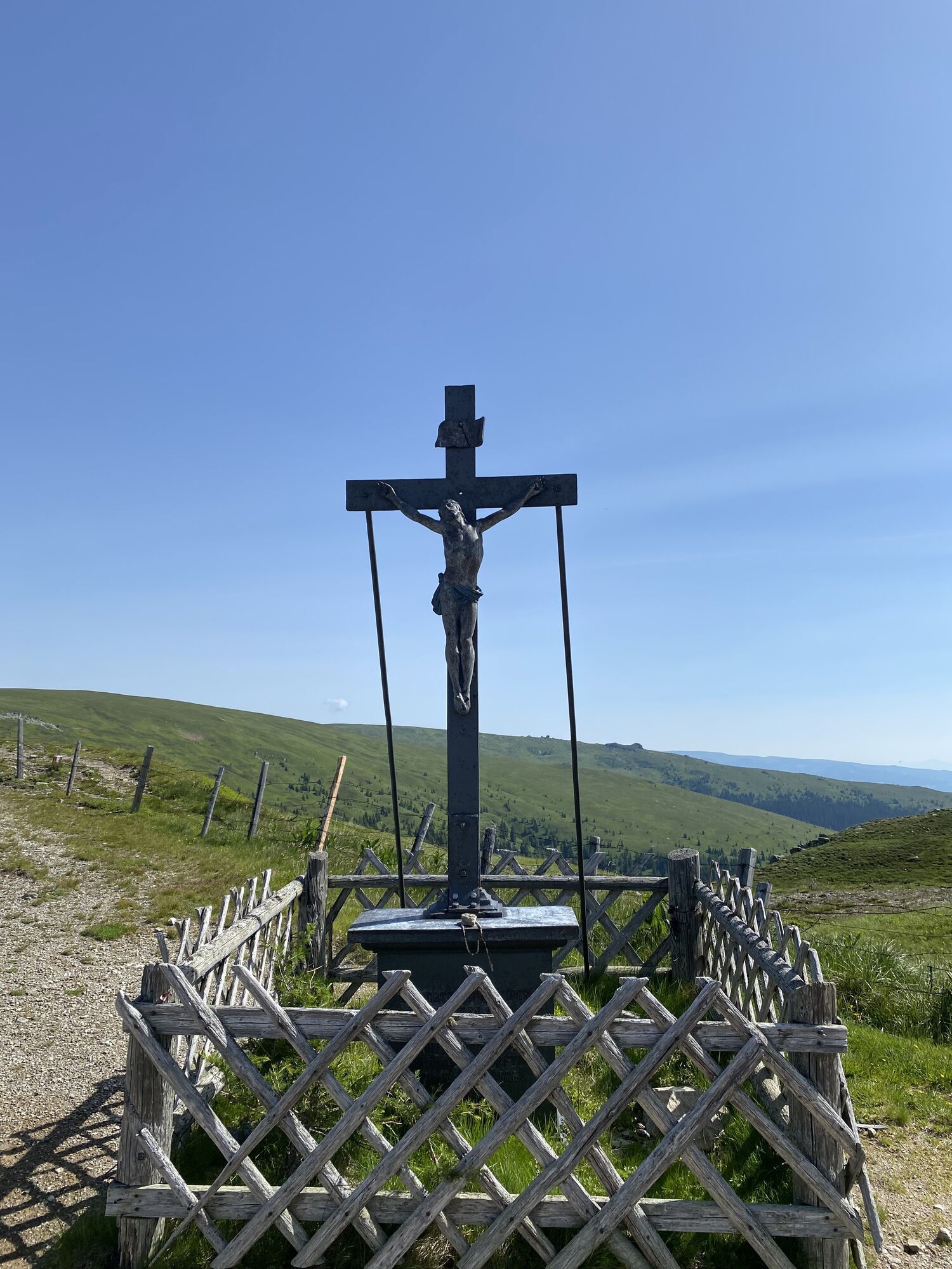
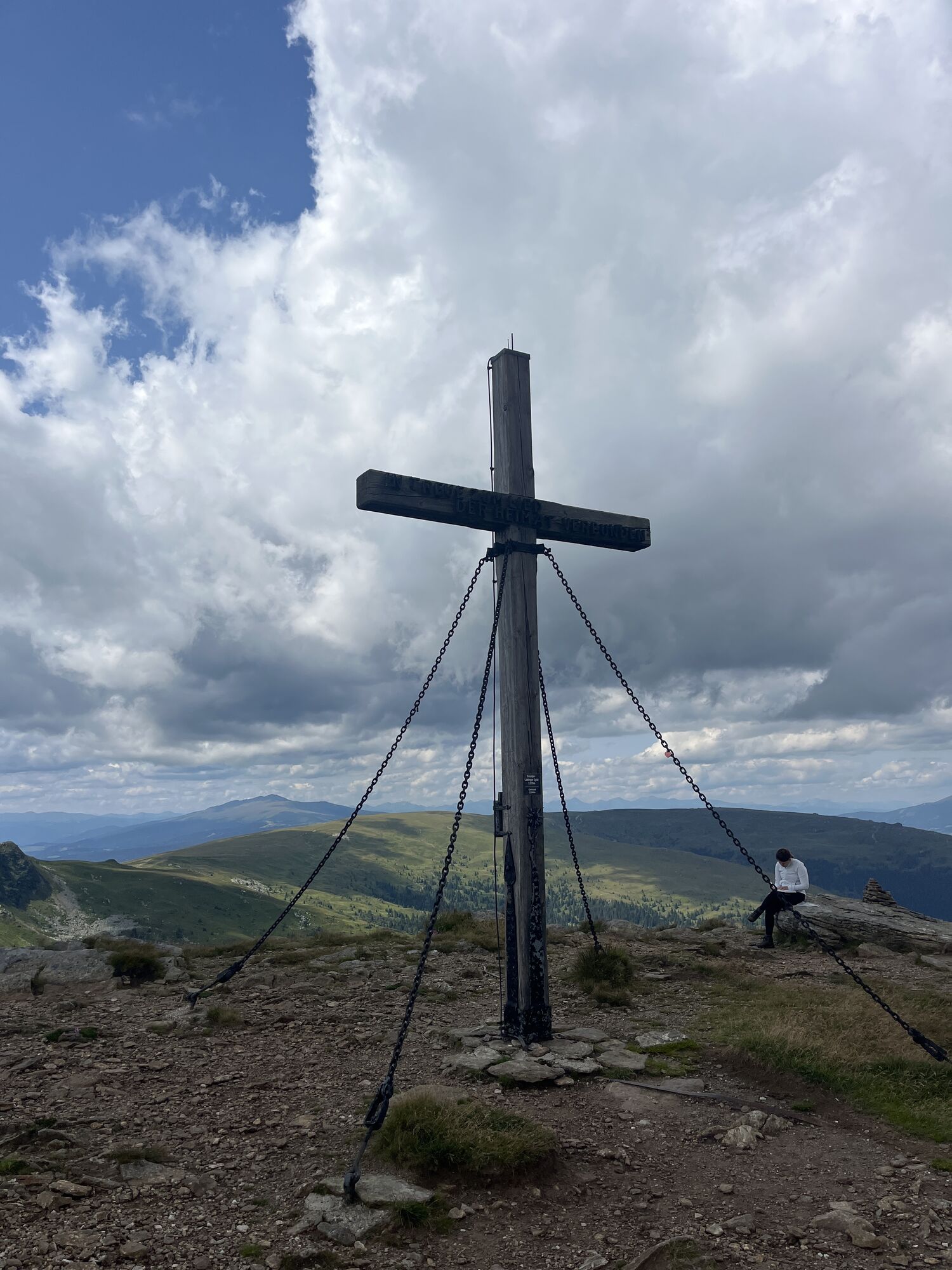
From the Weißbergerhütte, you first follow the signposted Almboden hiking trail 343 for just under an hour, which runs alongside the lift track, to the first beautiful viewpoint on our hike - the Iron Cross at 1958 m. To the left, the path leads towards Geierkogel and onto the Klippitztörl, while to the right rises the Getrusk at 2044 m.
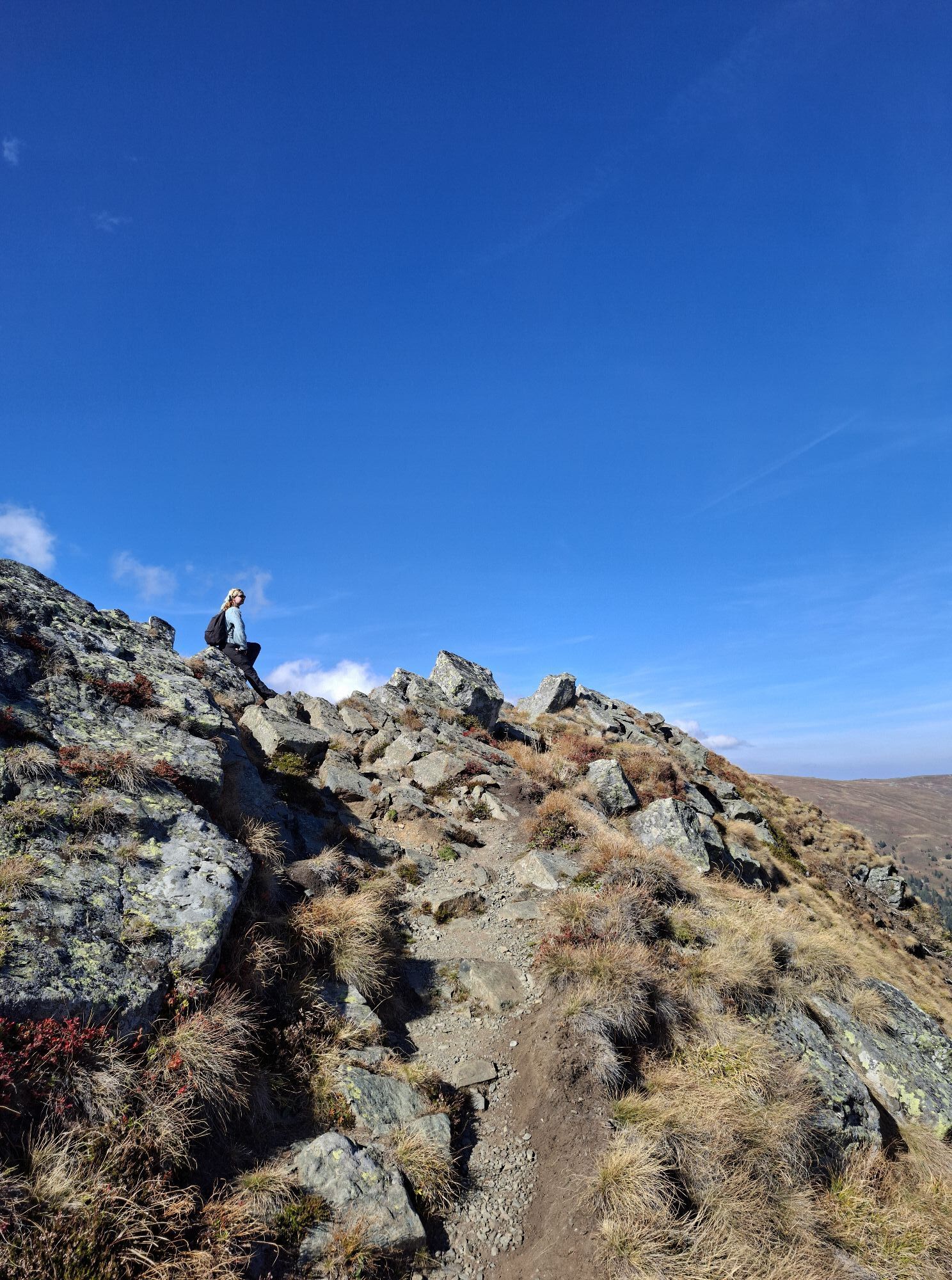
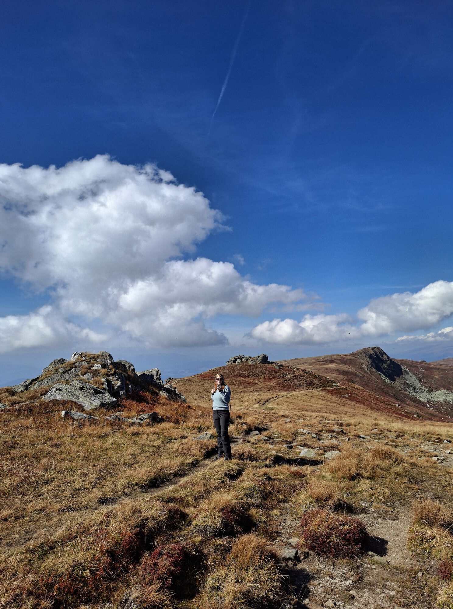
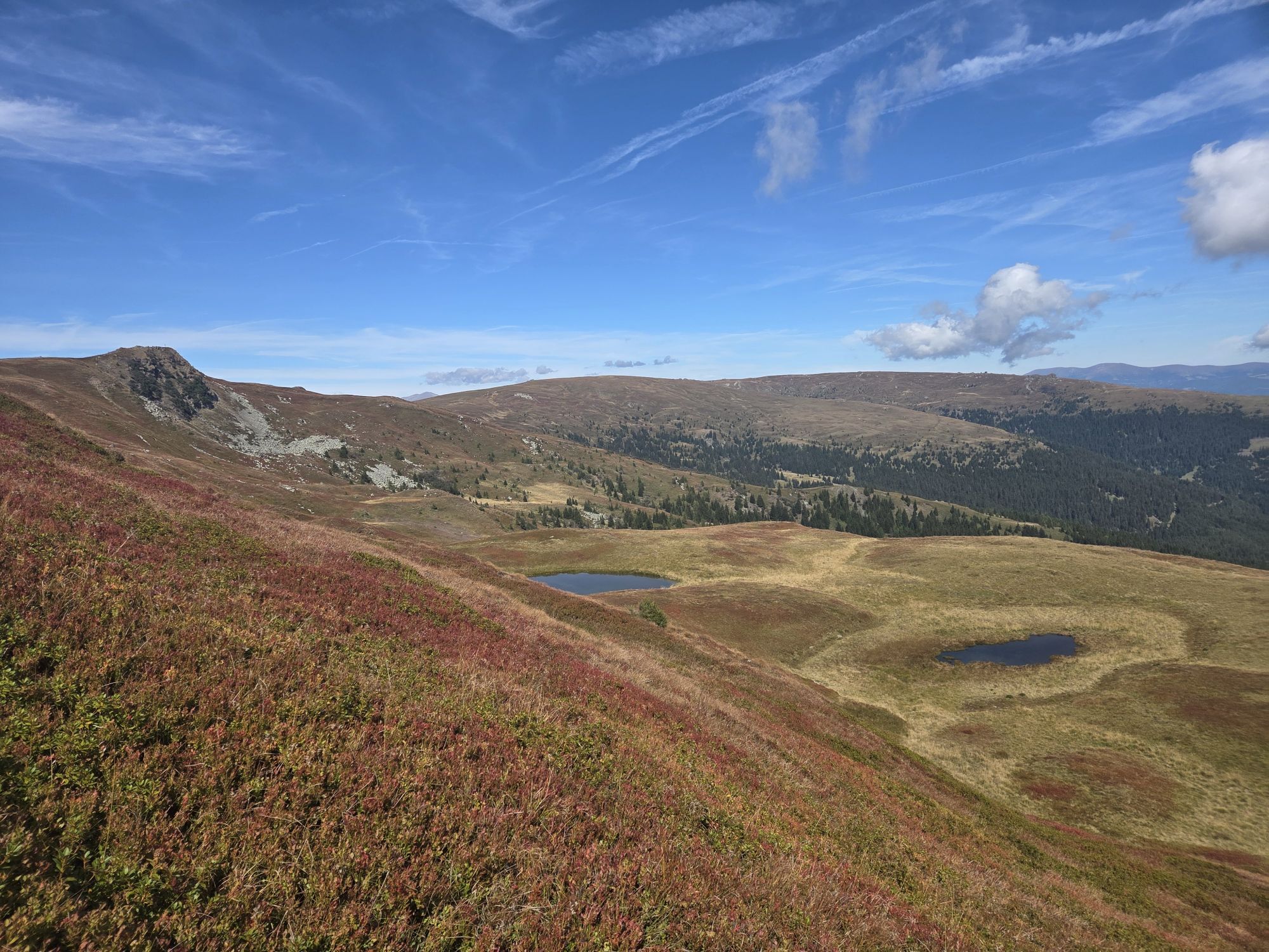
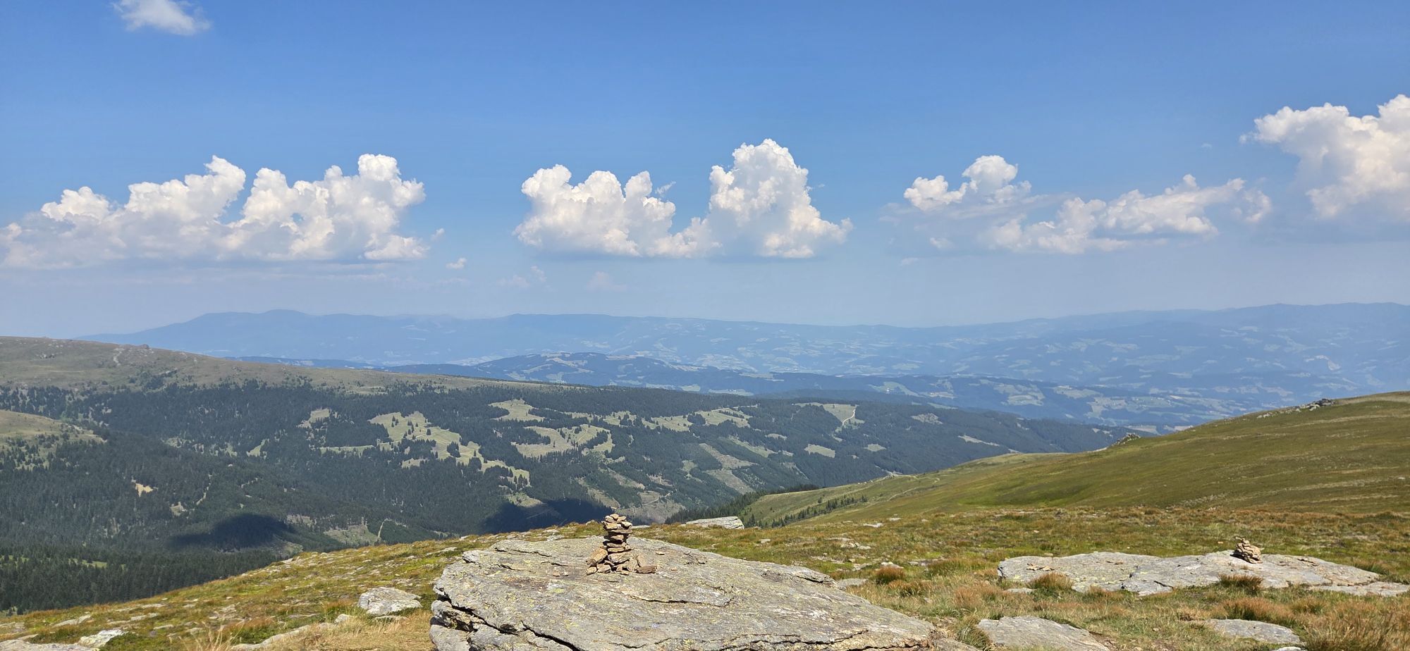
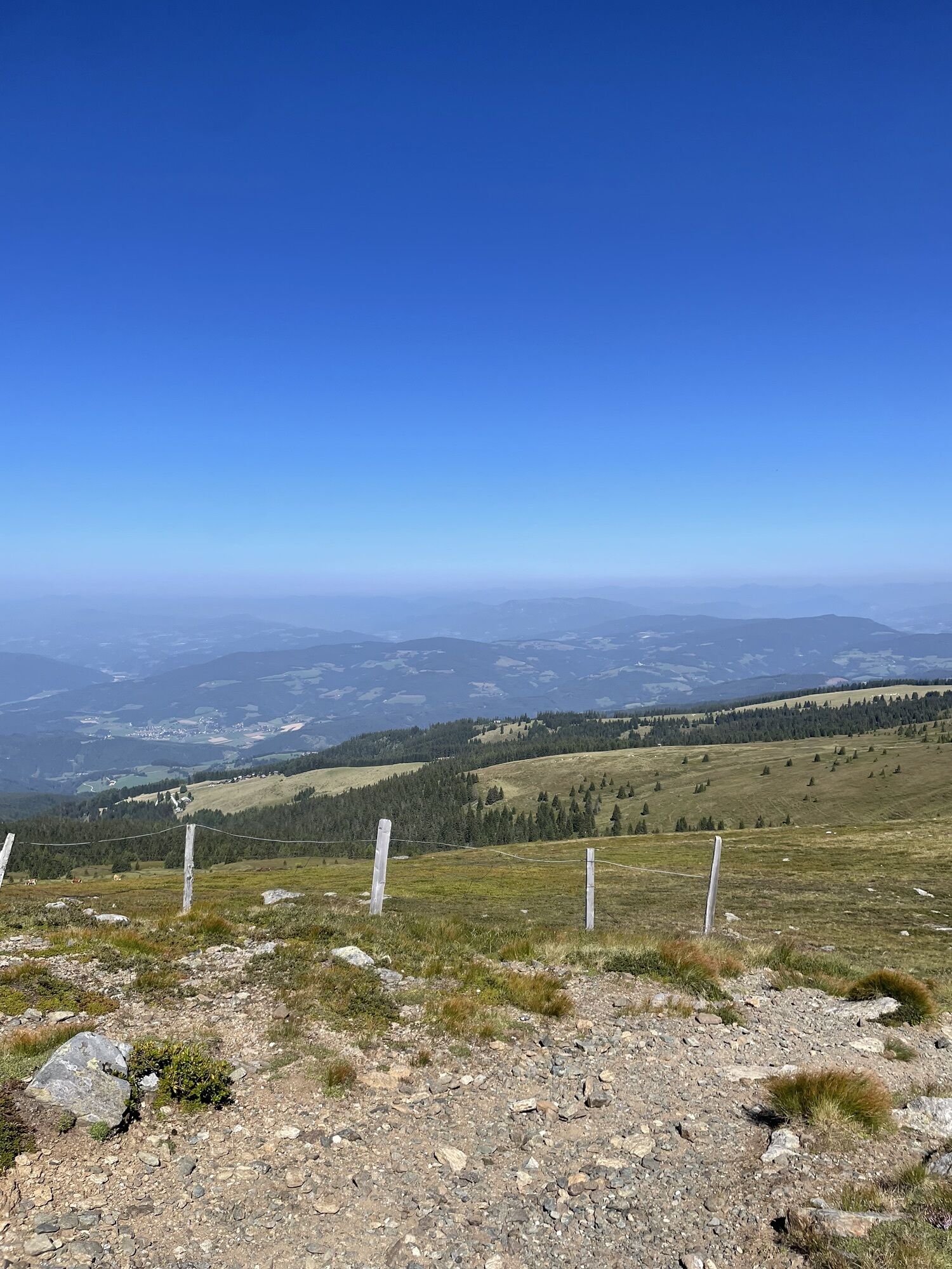
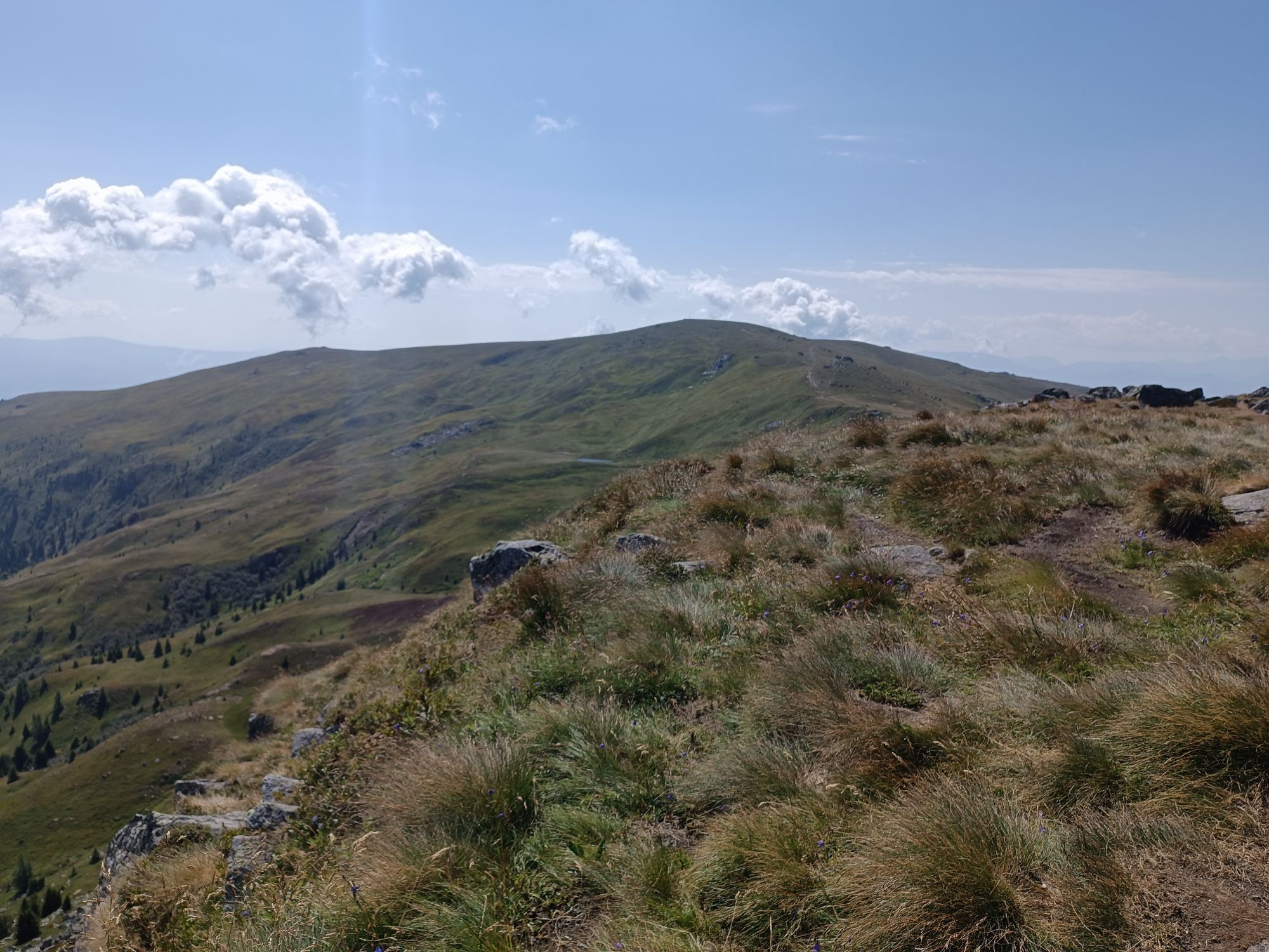
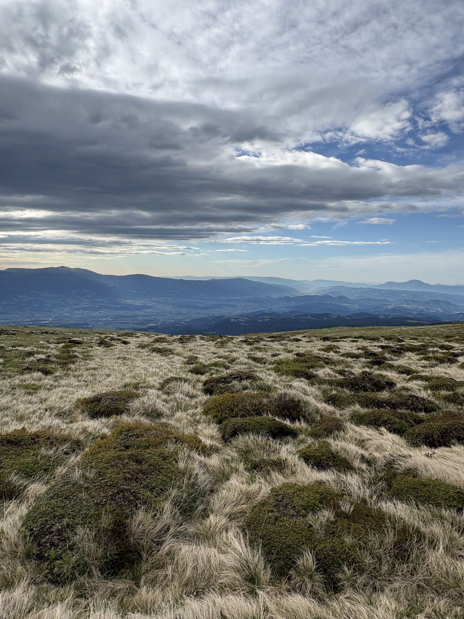
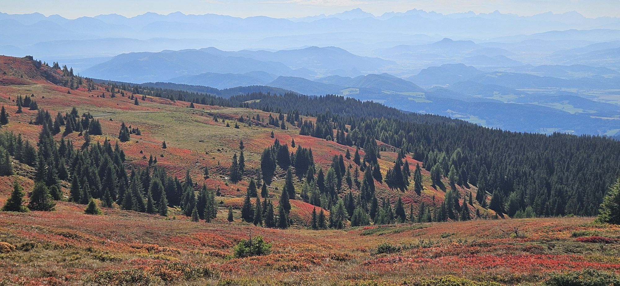
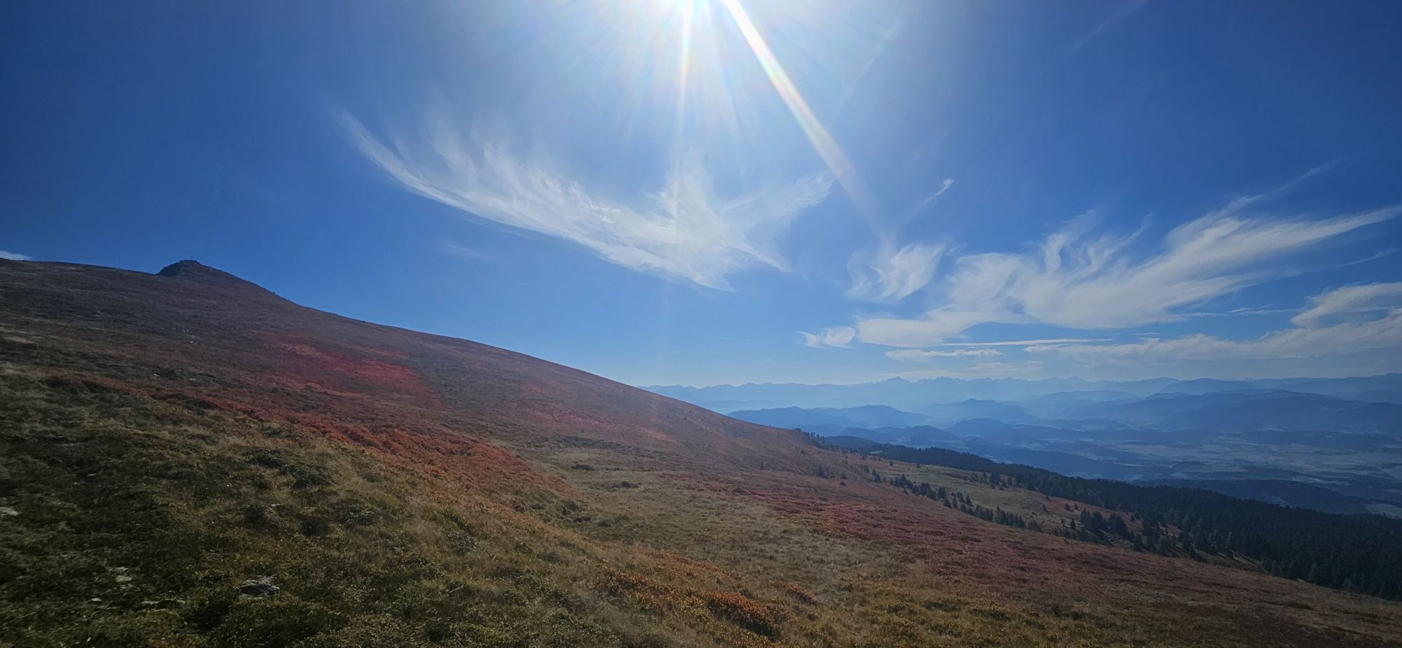
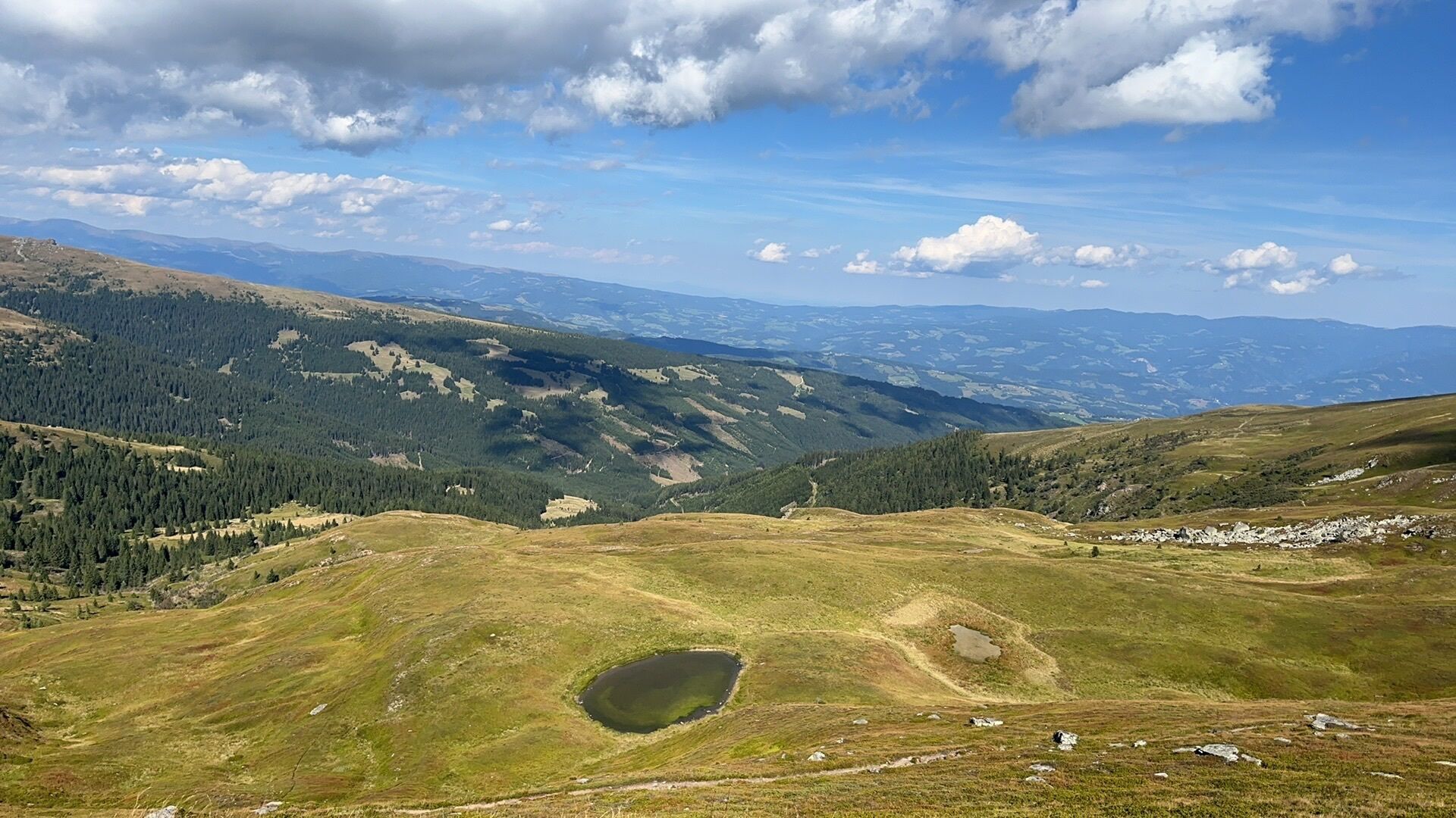
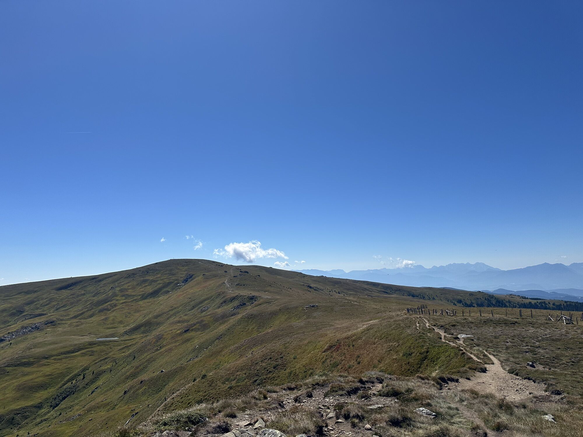
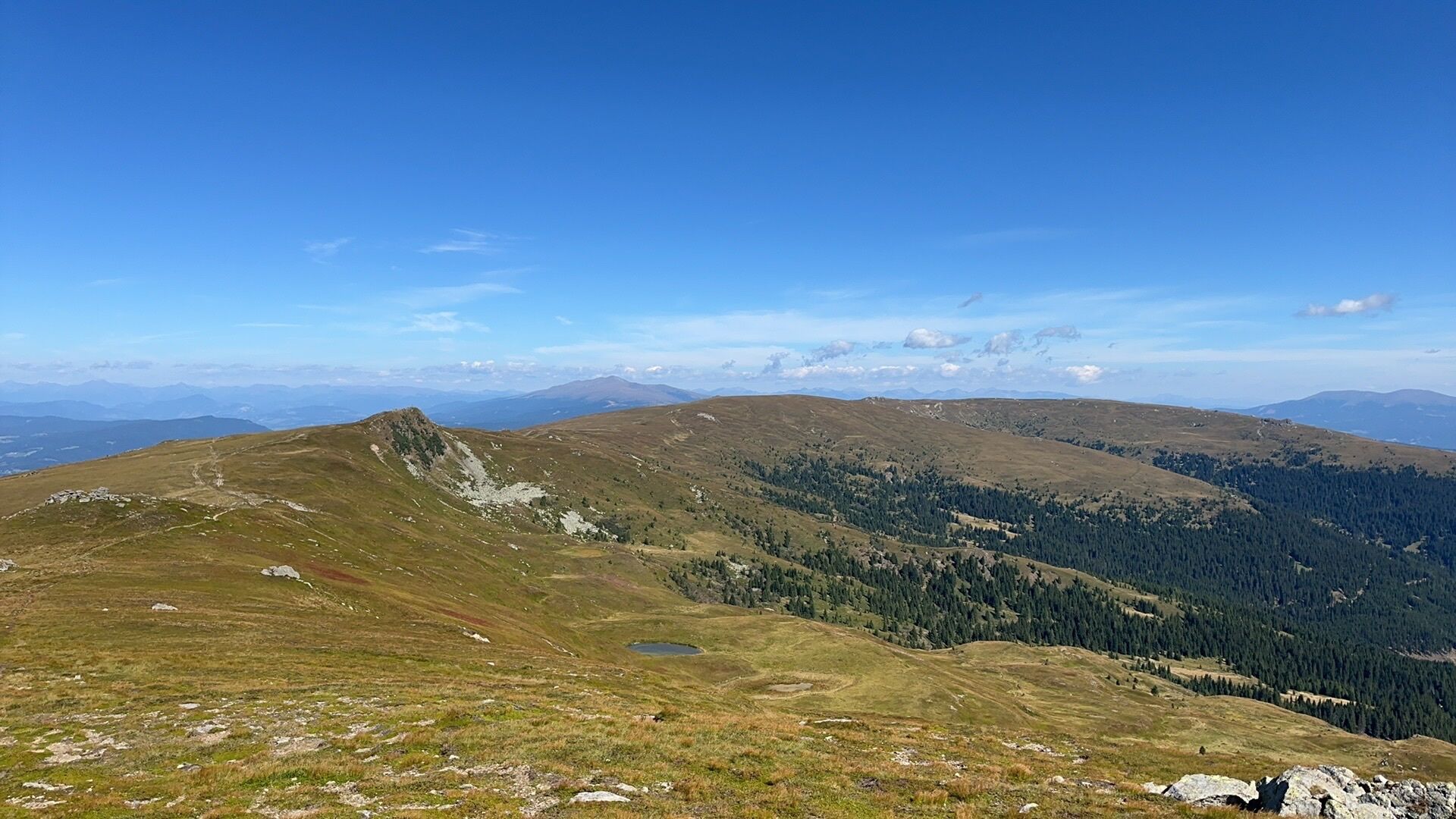
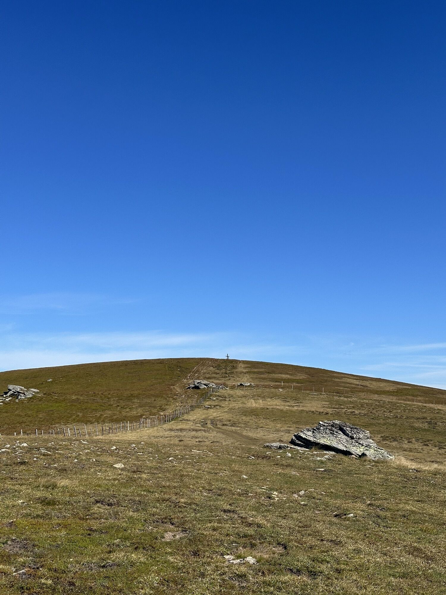
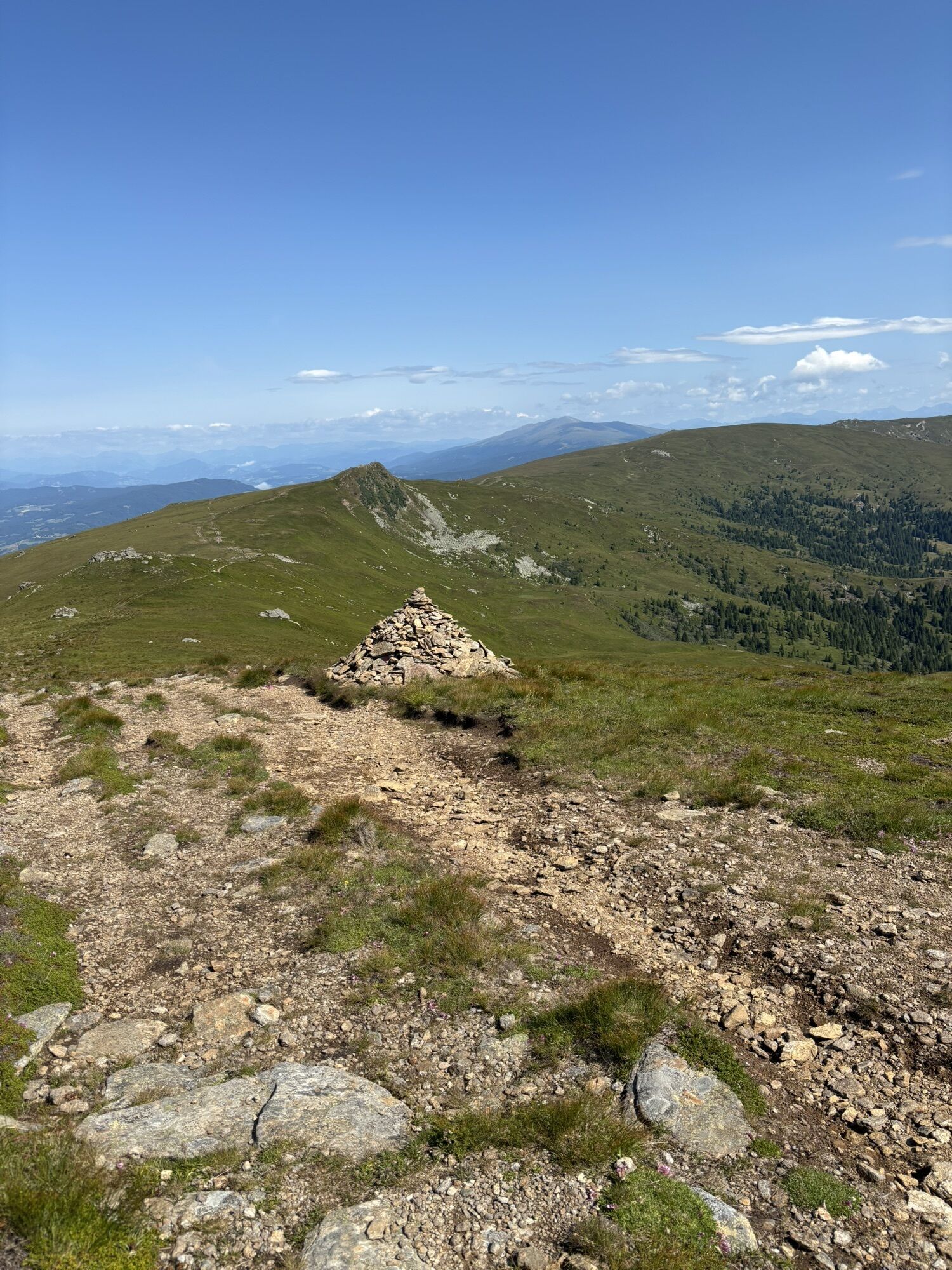
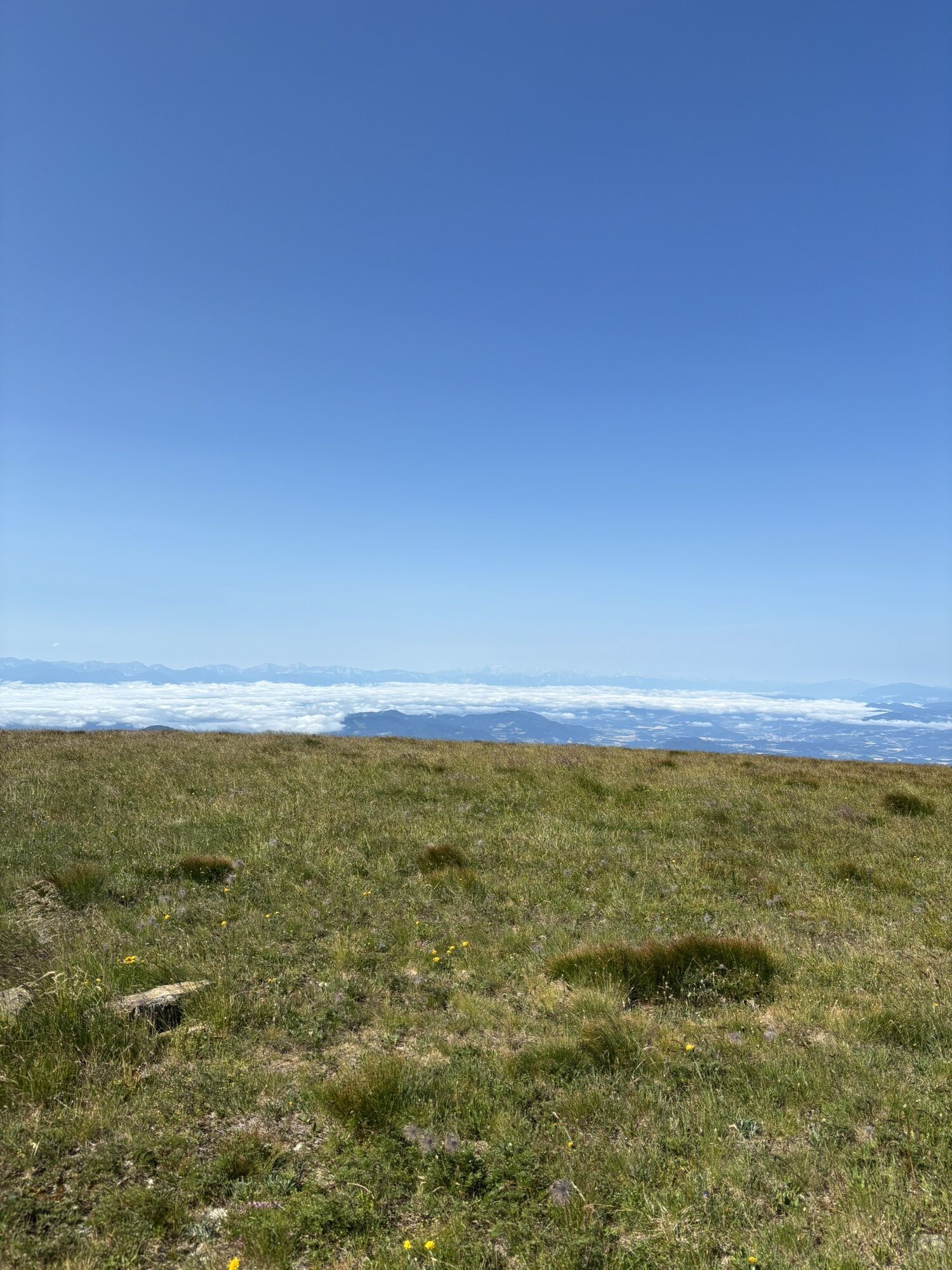
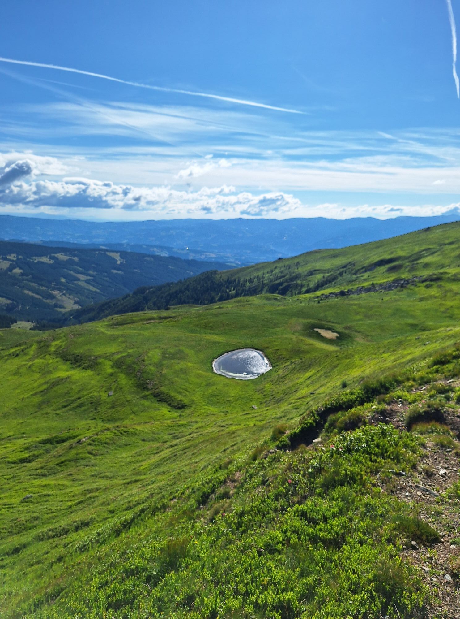
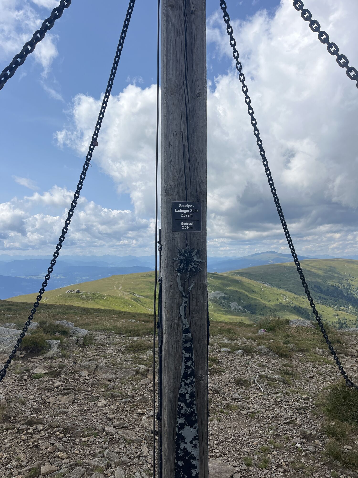
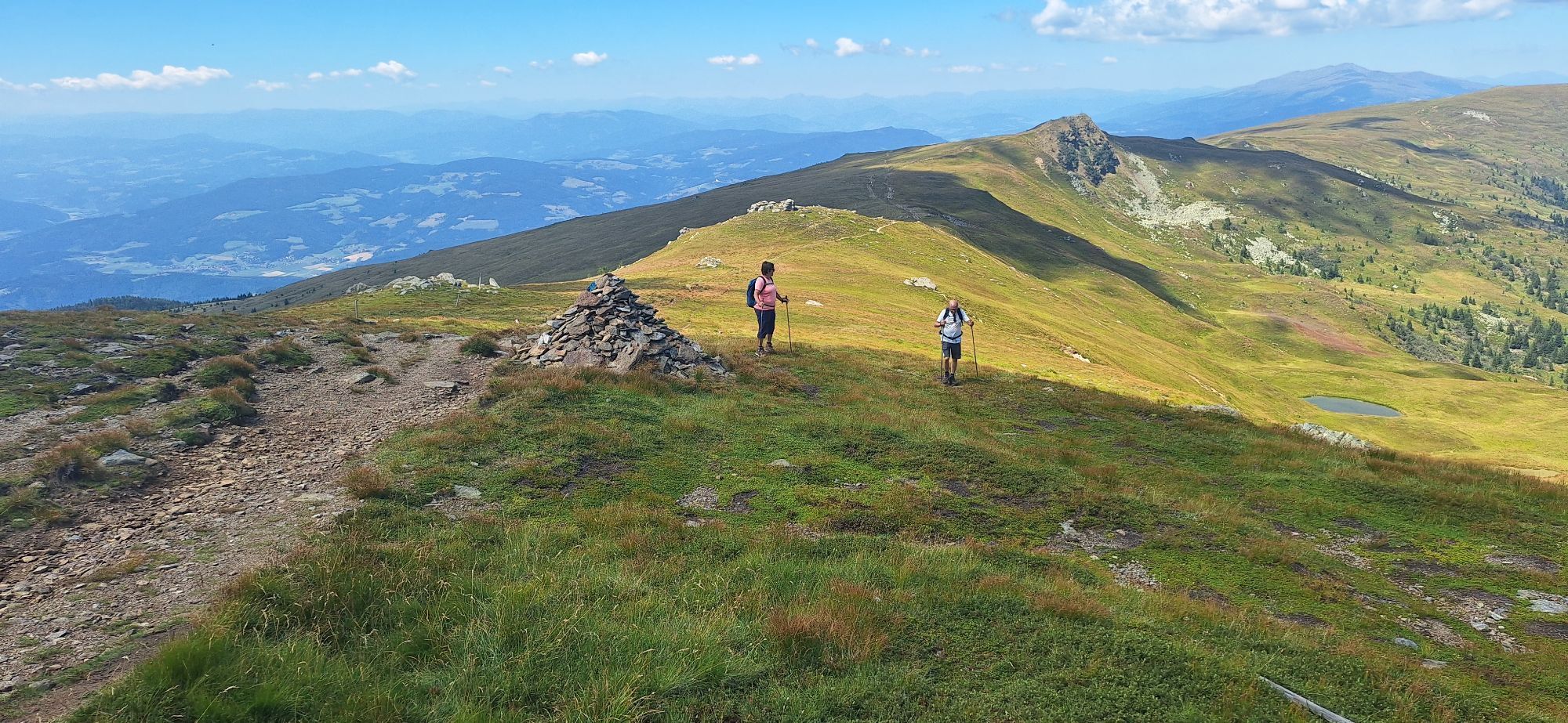
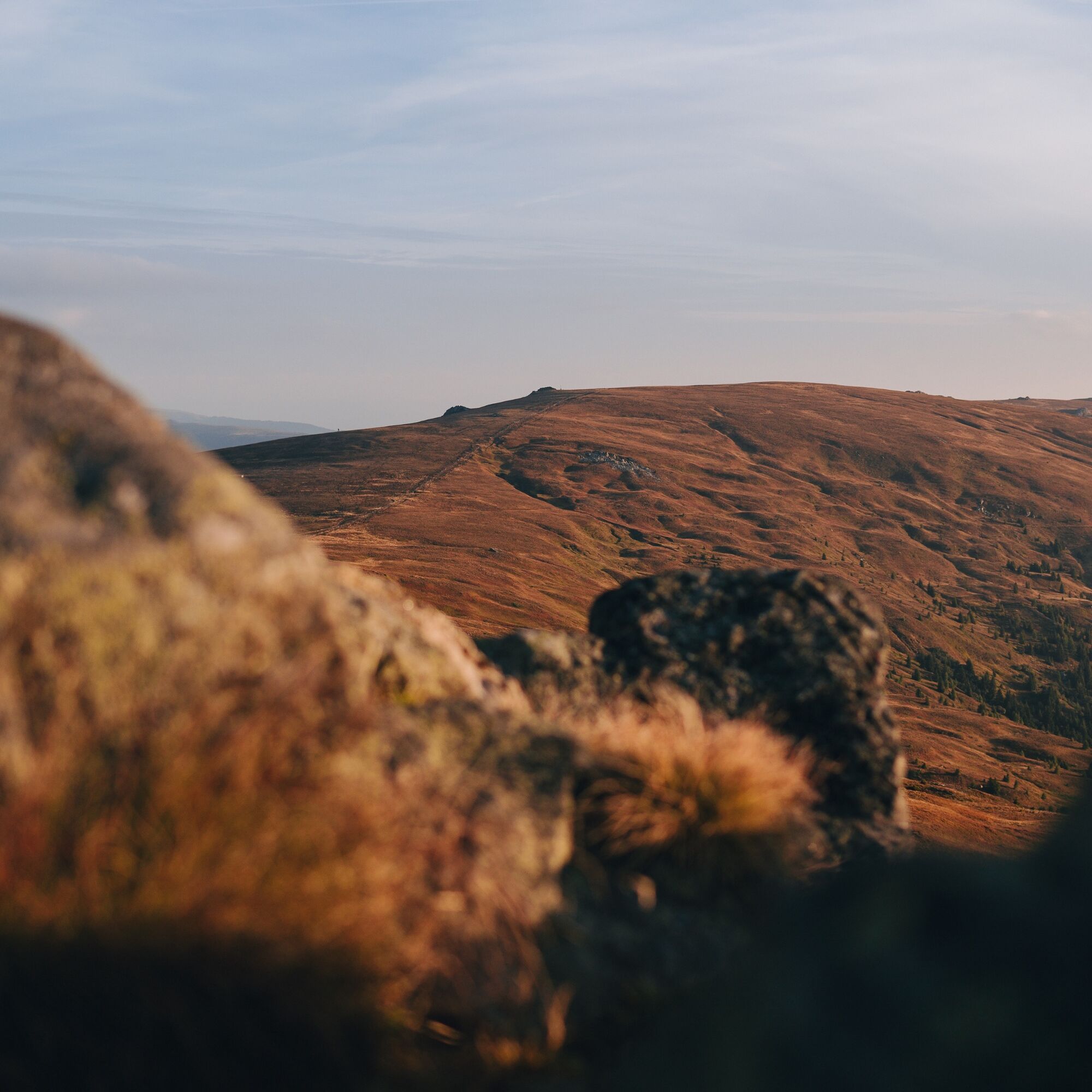
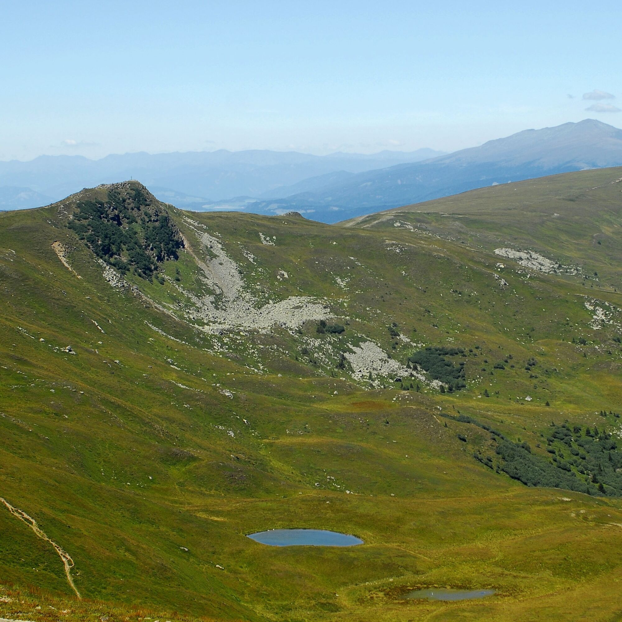
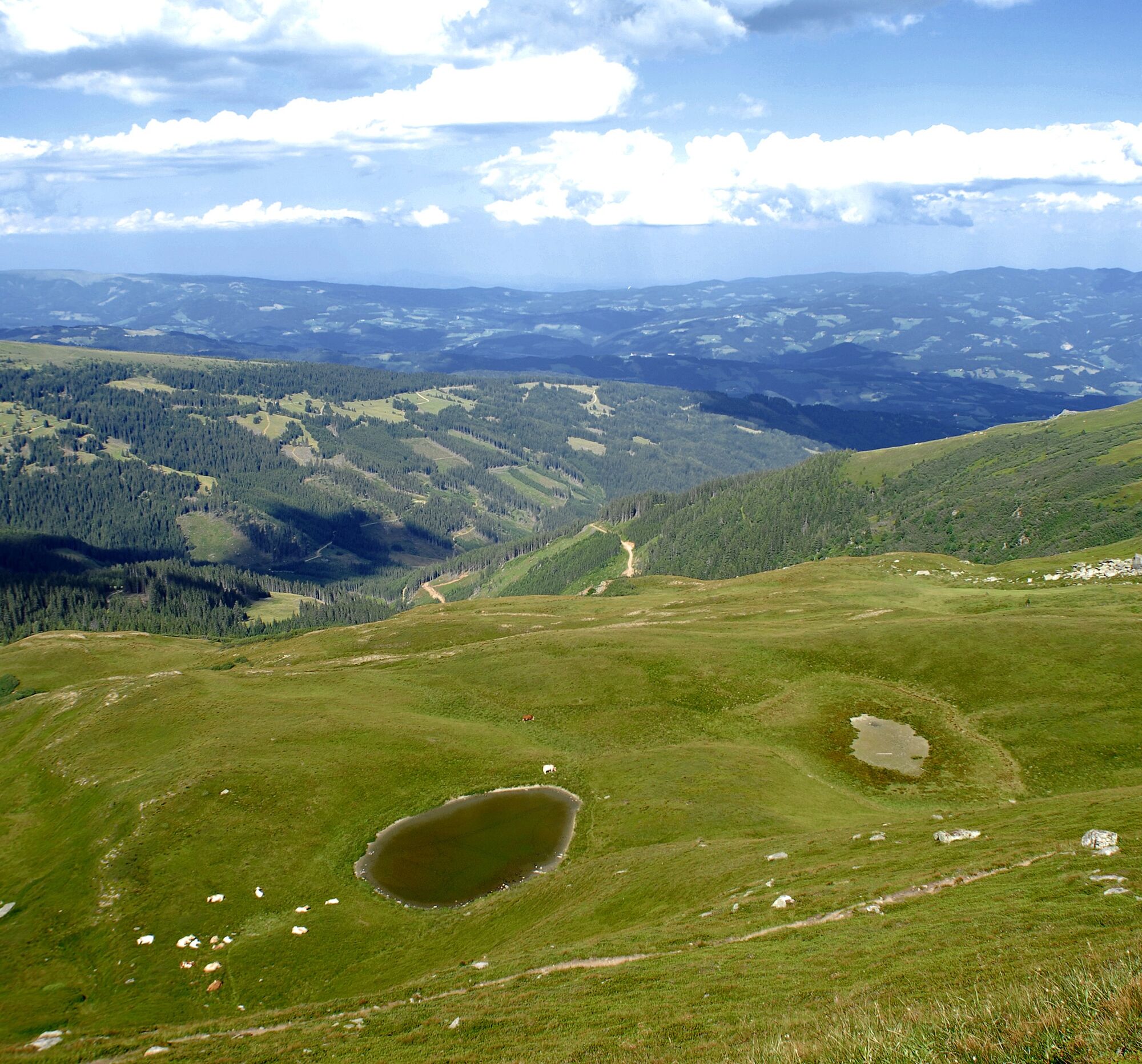
From the Iron Cross on hiking trail 334, it is not far to the first summit of the route (Gertrusk), where it is advisable to take a deep breath of the cool mountain air and enjoy the beautiful view over the Görtschitztal valley up to the Karawanken. On the backside of the Saualpe, the Lavanttal valley spreads out. Following the path further south, it goes fairly level to the Kaiserofen at 2037 m. The Kaiserofen is not marked with a summit cross. From the Kaiserofen, the path then gently turns left towards Ladingerspitz reaching a height of 2079 m. Here too, a breathtaking view is offered.
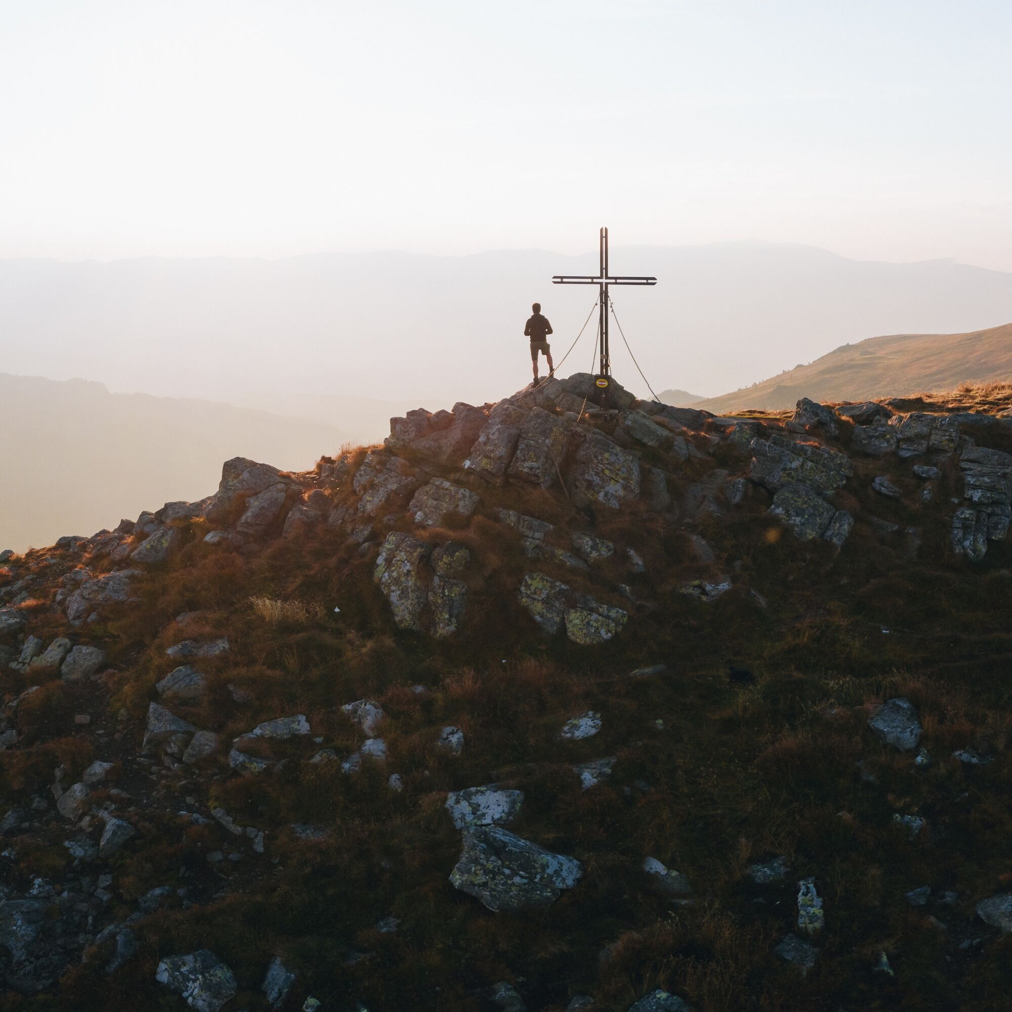
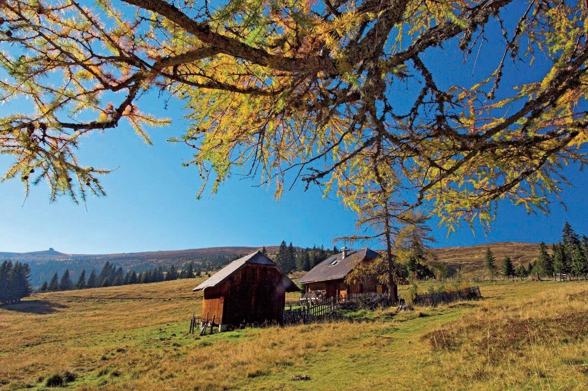
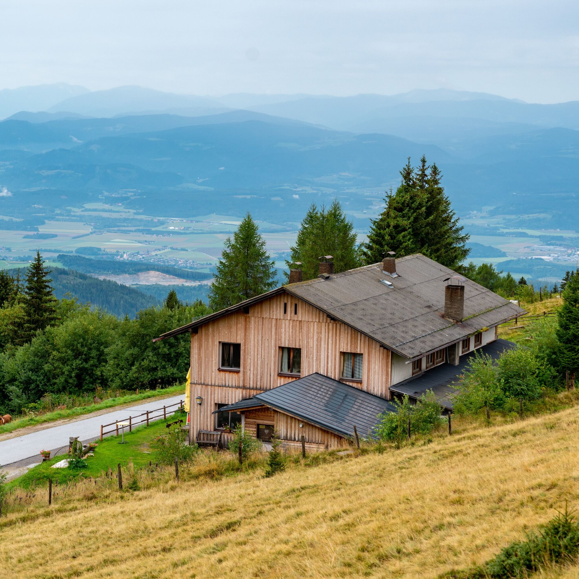
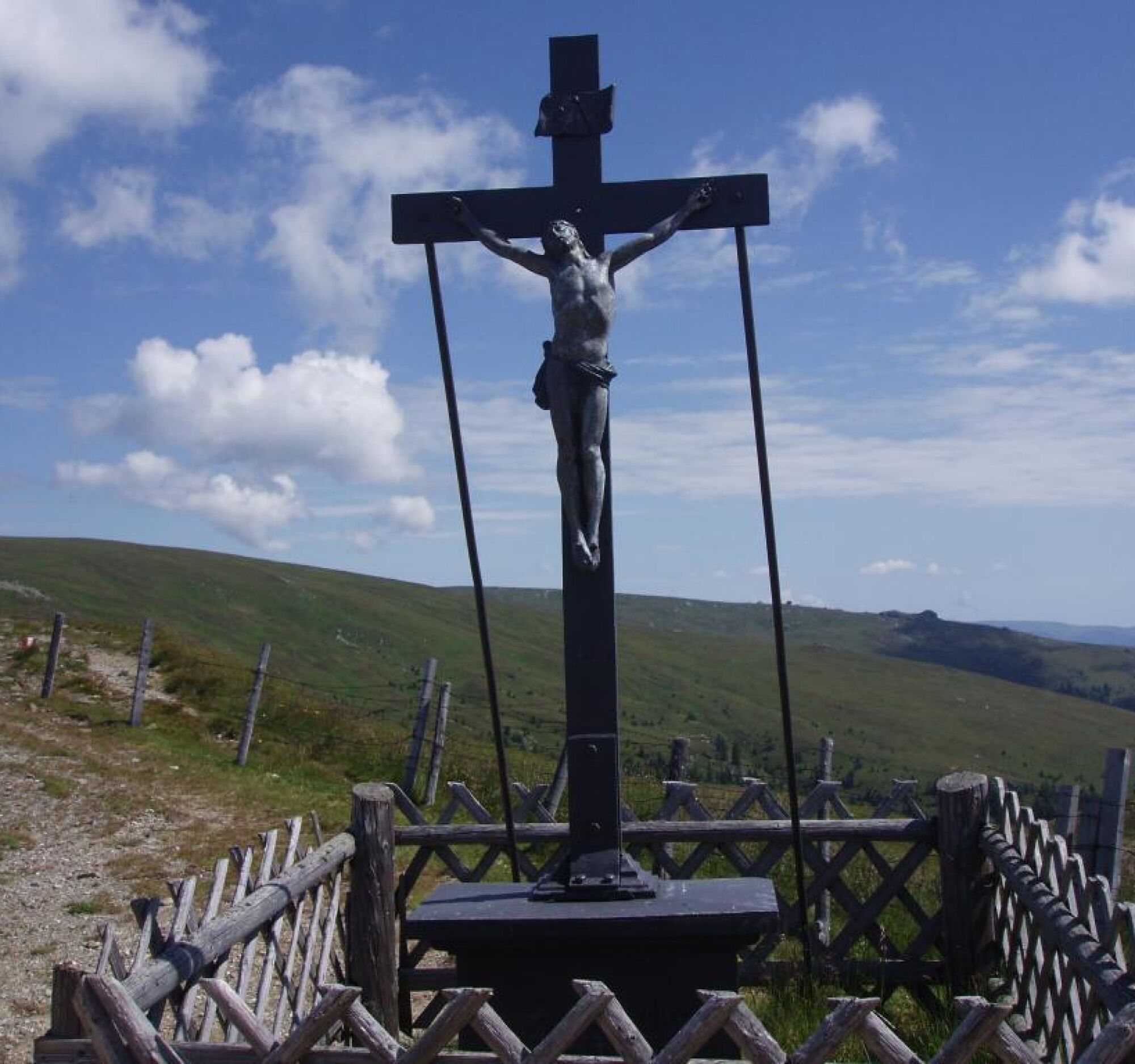
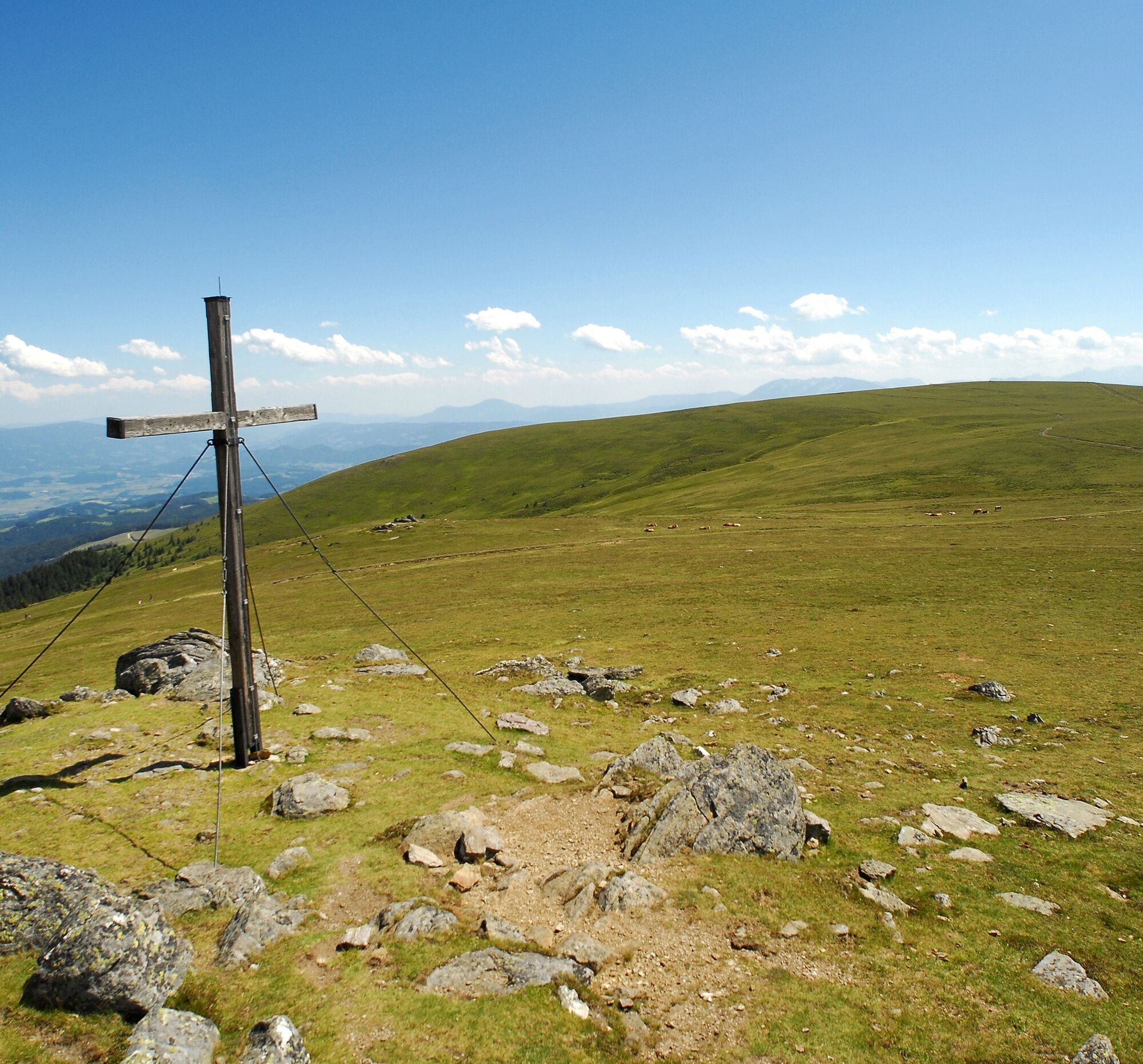

From the Weißbergerhütte, you first follow the signposted Almboden hiking trail 343 for just under an hour, which runs alongside the lift track, to the first beautiful viewpoint on our hike - the Iron Cross at 1958 m. To the left, the path leads towards Geierkogel and onto the Klippitztörl, while to the right rises the Getrusk at 2044 m.
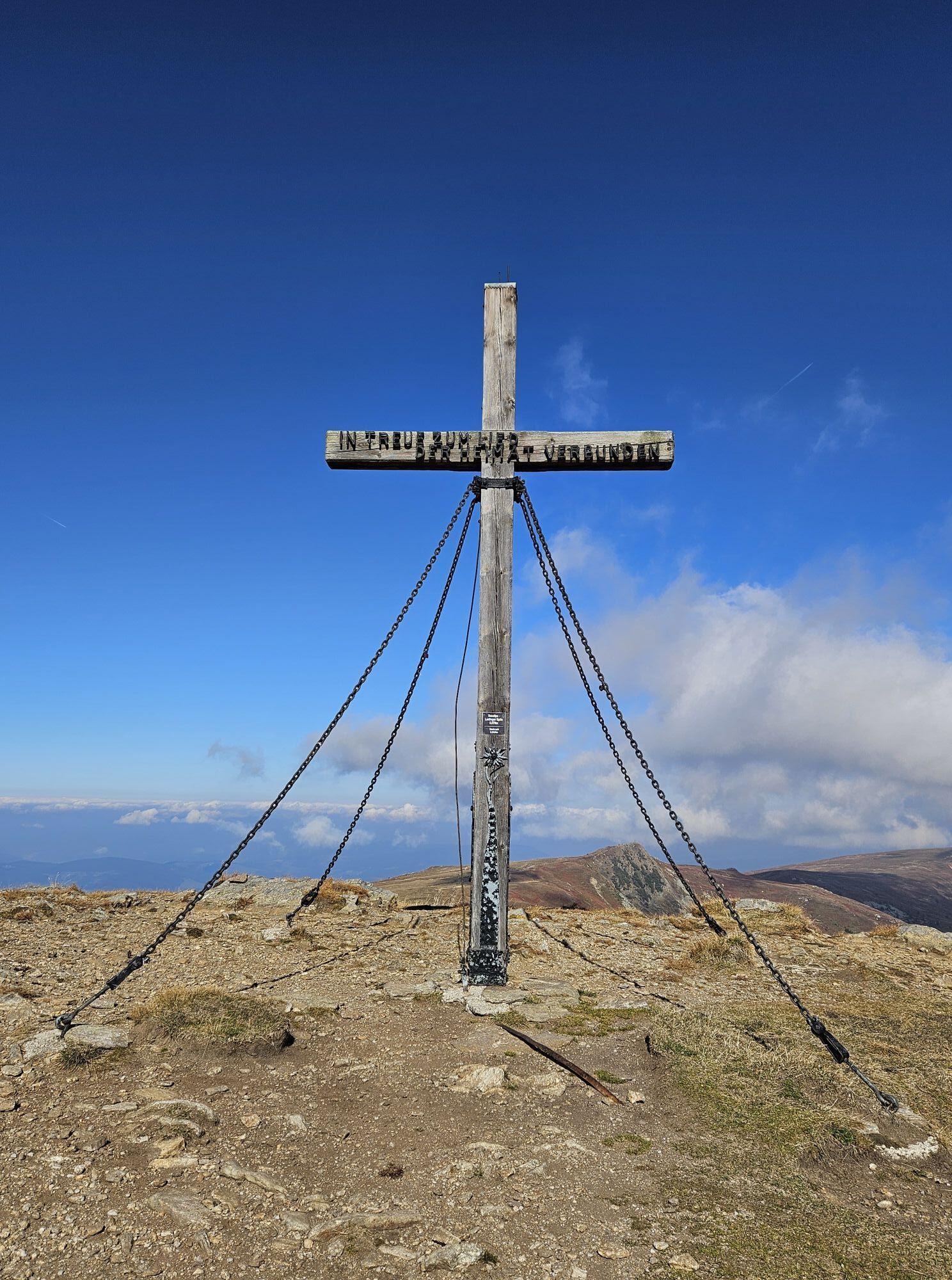
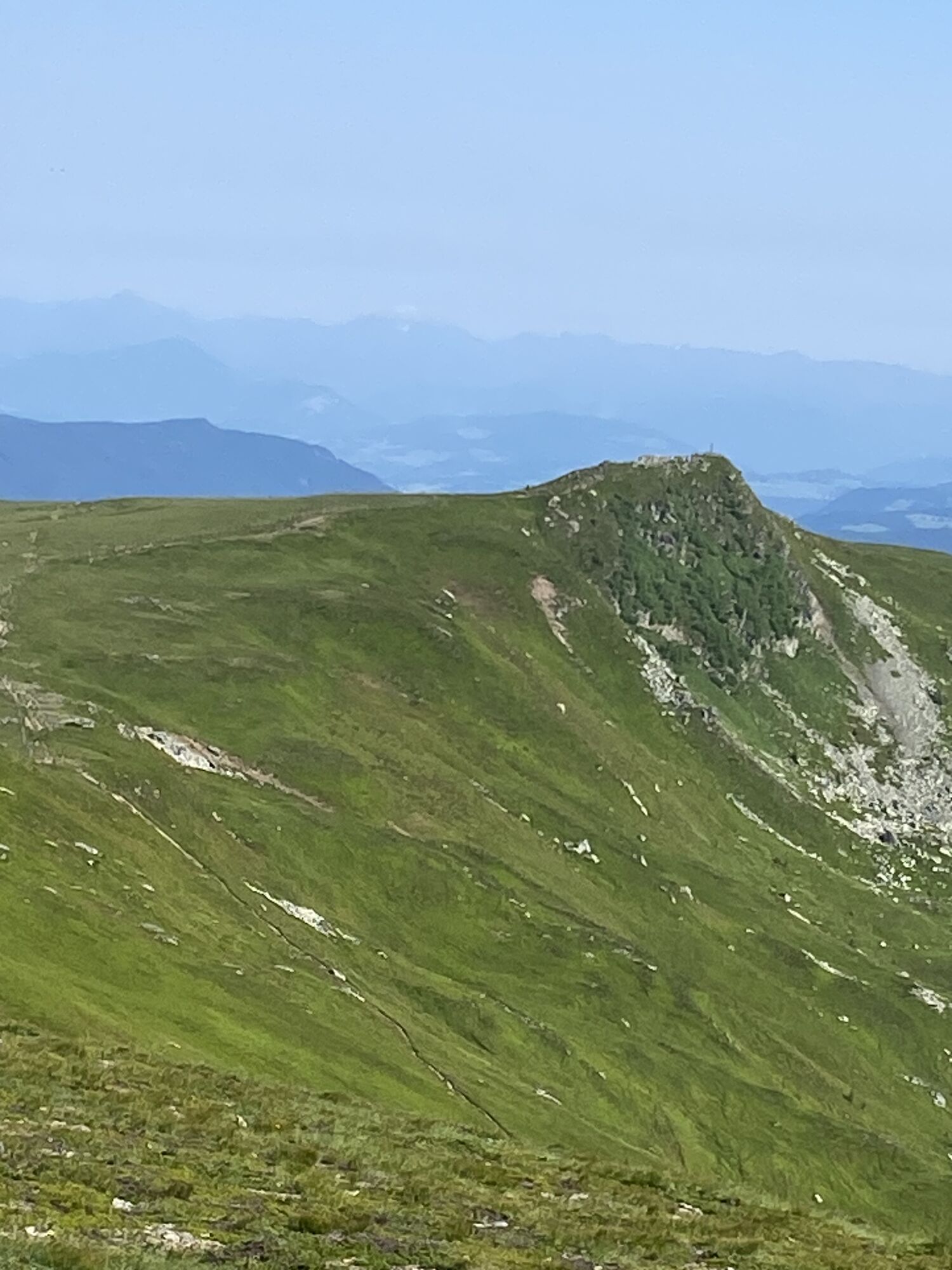
From the Iron Cross on hiking trail 334, it is not far to the first summit of the route (Gertrusk), where it is advisable to take a deep breath of the cool mountain air and enjoy the beautiful view over the Görtschitztal valley up to the Karawanken. On the backside of the Saualpe, the Lavanttal valley spreads out. Following the path further south, it goes fairly level to the Kaiserofen at 2037 m. The Kaiserofen is not marked with a summit cross. From the Kaiserofen, the path then gently turns left towards Ladingerspitz reaching a height of 2079 m. Here too, a breathtaking view is offered. In clear weather, it is possible to see the Großglockner far in the distance. The Ladingerspitz is the highest peak on the Saualpe.
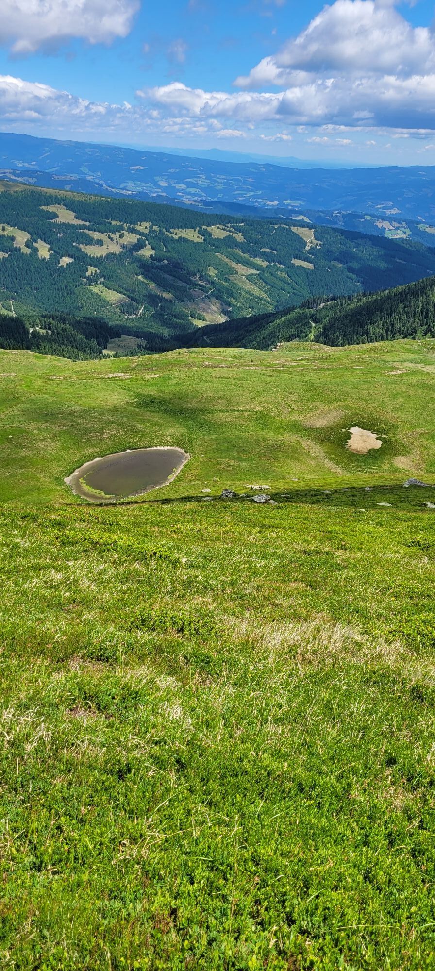
For the way back, keep right and follow the path from the Ladingerspitz back to the main hiking trail no. 334 and turn sharply right. This trail leads below the Ladingerspitz again to the Kaiserofen and follows this path further. A magnificent panorama accompanies us on the way back to the Iron Cross. From there, take the ascent path 343 and finally return to the Weißbergerhütte.
Tak
Tak
Mountain hiking equipment, bring sufficient drinking water on hot summer days.
Do not leave the marked path; watch the weather
From the Görtschitztal (place: Wieting), drive by car via Saualmstraße to the starting point of the hike - the Weißbergerhütte at 1600 m
ÖBB timetable information:
www.oebb.at/de/fahrplan/fahrplanauskunft
Parking spaces are available
Find more routes here:
https://regio.outdooractive.com/oar-mittelkaernten/de/
A stop at the Weißbergerhütte is definitely worthwhile!


Aktywności na trasie
-

Klein Sankt Paul, Kärnten/Österreich
19.09.2026 – Wędrówka -

Kleiner Gertrusk Spaziergang
06.09.2026 – Wędrówka -

Klein Sankt Paul, Kärnten/Österreich
13.08.2026 – Wędrówka -

Klein St. Paul
08.08.2026 – Wędrówka -

Klein Sankt Paul, Kärnten/Österreich
25.07.2026 – Wędrówka -

Gertrusk, Ladinger Spitz
16.07.2026 – Wędrówka -
Von der Weissbergerhütte zum Gertrusk
16.07.2026 – Wędrówka -

Klein Sankt Paul, Kärnten/Österreich
09.11.2025 – Wędrówka -

Klein Sankt Paul, Kärnten/Österreich
03.10.2025 – Wędrówka
Popularne wycieczki w okolicy
-
4,6
Klippitztörl - Geierkogel loop trail no. G
średniWędrówka 6,79 km -
4,6
Bad St. Leonhard: L5 hike Kliening - Sauerbrun
średniWędrówka 9,49 km -
4,8
Steinerhütte-kl.+gr. Sauofen zum Gertrusk und zurück
światłoWędrówka 15,0 km -
4,6
Diex panorama trail
światłoWędrówka 12,1 km -
4,4
Certified hiking trail: Guttaring - Mariahilferweg - permanent IVV hiking trail
średniWędrówka 11,2 km -
4,2
Vom Klippitztörl auf die Forstalm mit Geierkogel und Steinerner Hochzeit.
średniWędrówka 10,5 km -
4,8
Szlak wysokogórski w dolinie Lavanttal: Etap 6 od Klippitztörl do schroniska Wolfsberger Hütte
światłoWędrówka 13,4 km -
4,8
Winter sun on the Saualm
światłoRakieta do chodzenia po śniegu 4,70 km -
4,6
Saualpe: Hut route - circular hike
średniWędrówka 15,3 km -
4,7
Klippitztörl: Tour 6 - Geierkogeltour
średniRakieta do chodzenia po śniegu 6,80 km

Wędrówki i tropienie


Nie przegap ofert i inspiracji na następne wakacje
Twój adres e-mail została dodana do listy mailingowej.





