







Saualpe: Hut route - circular hike
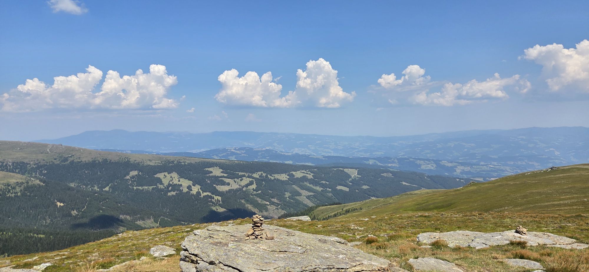
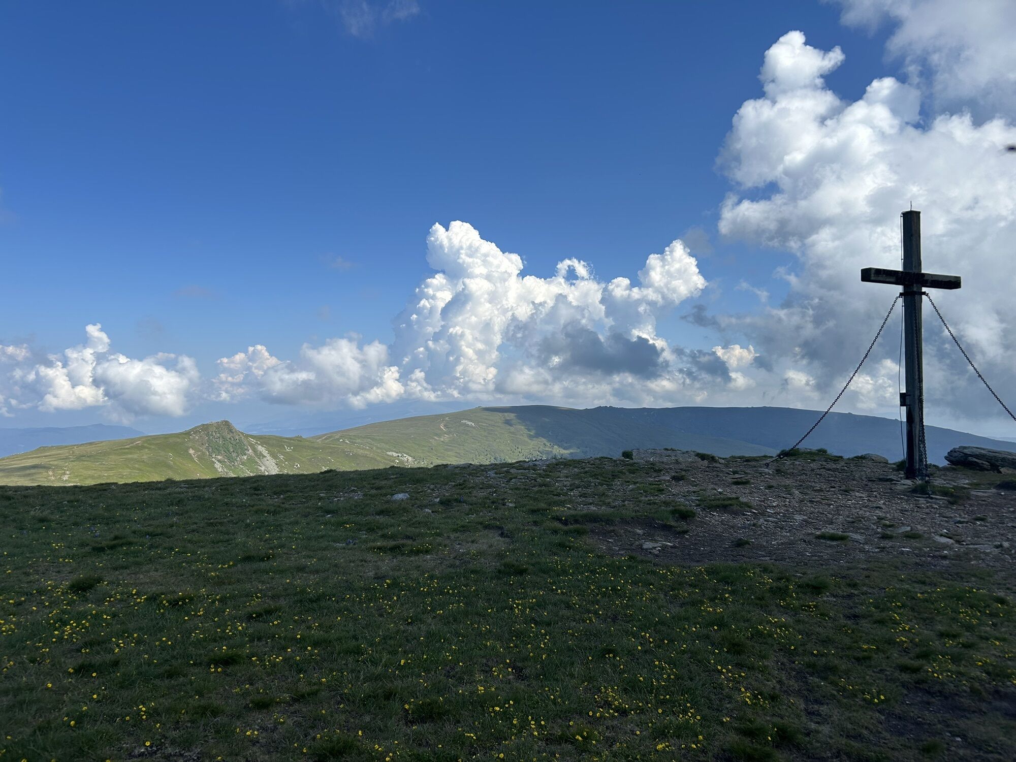
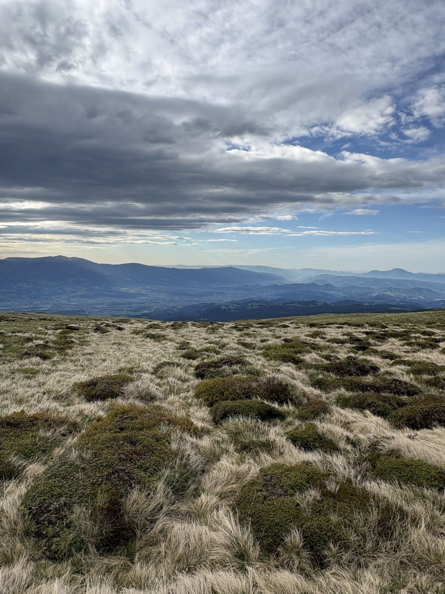
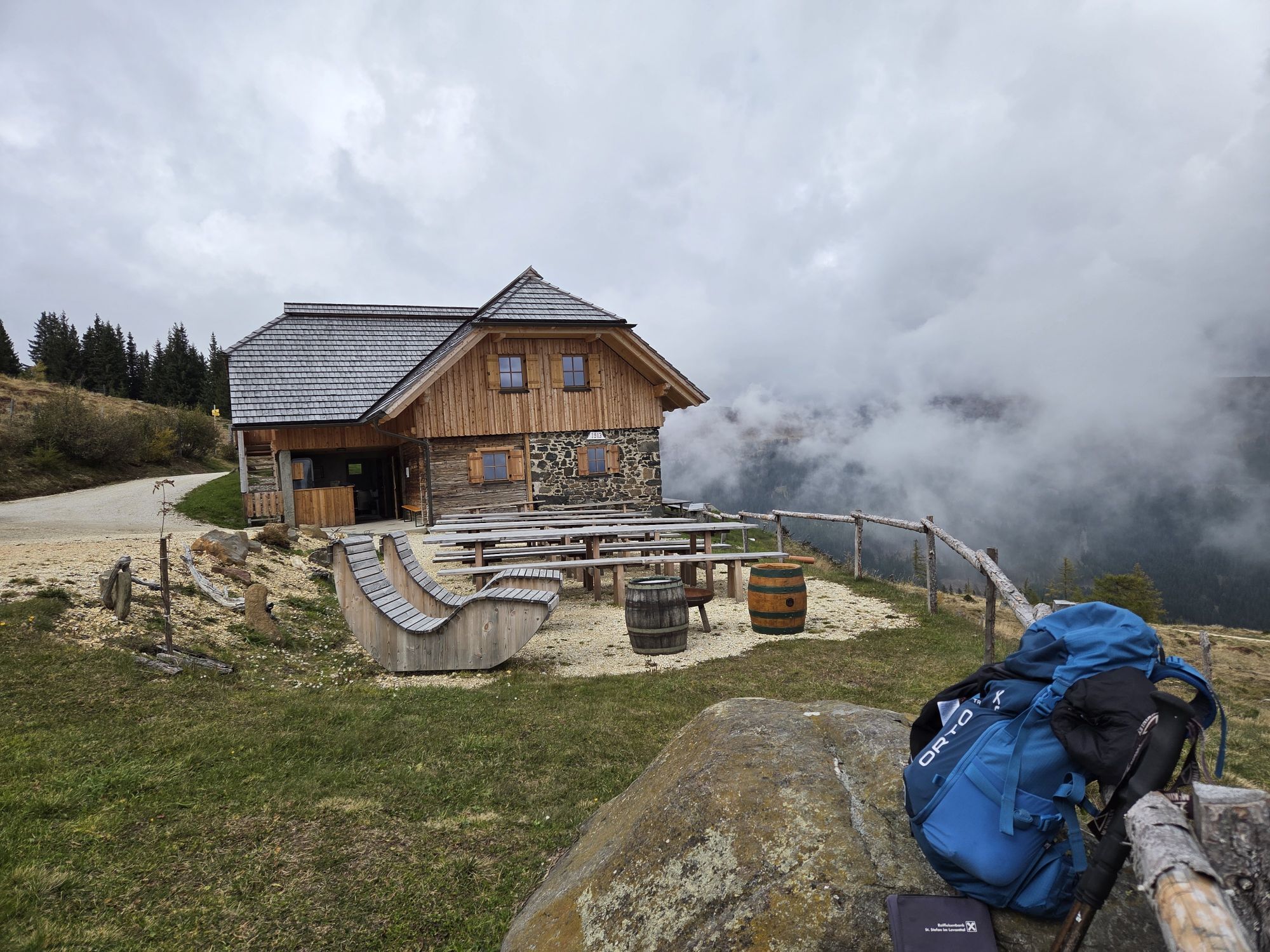
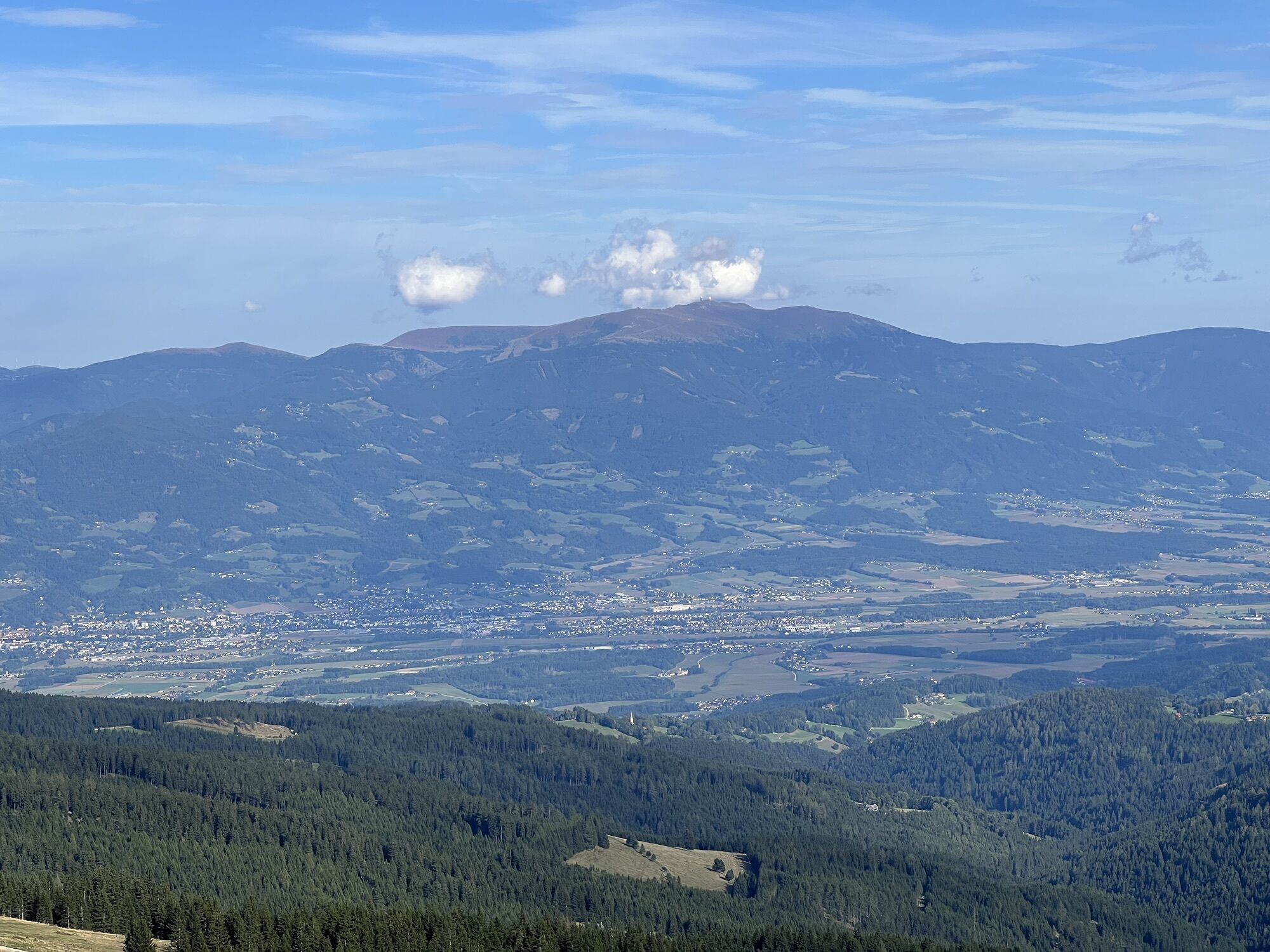
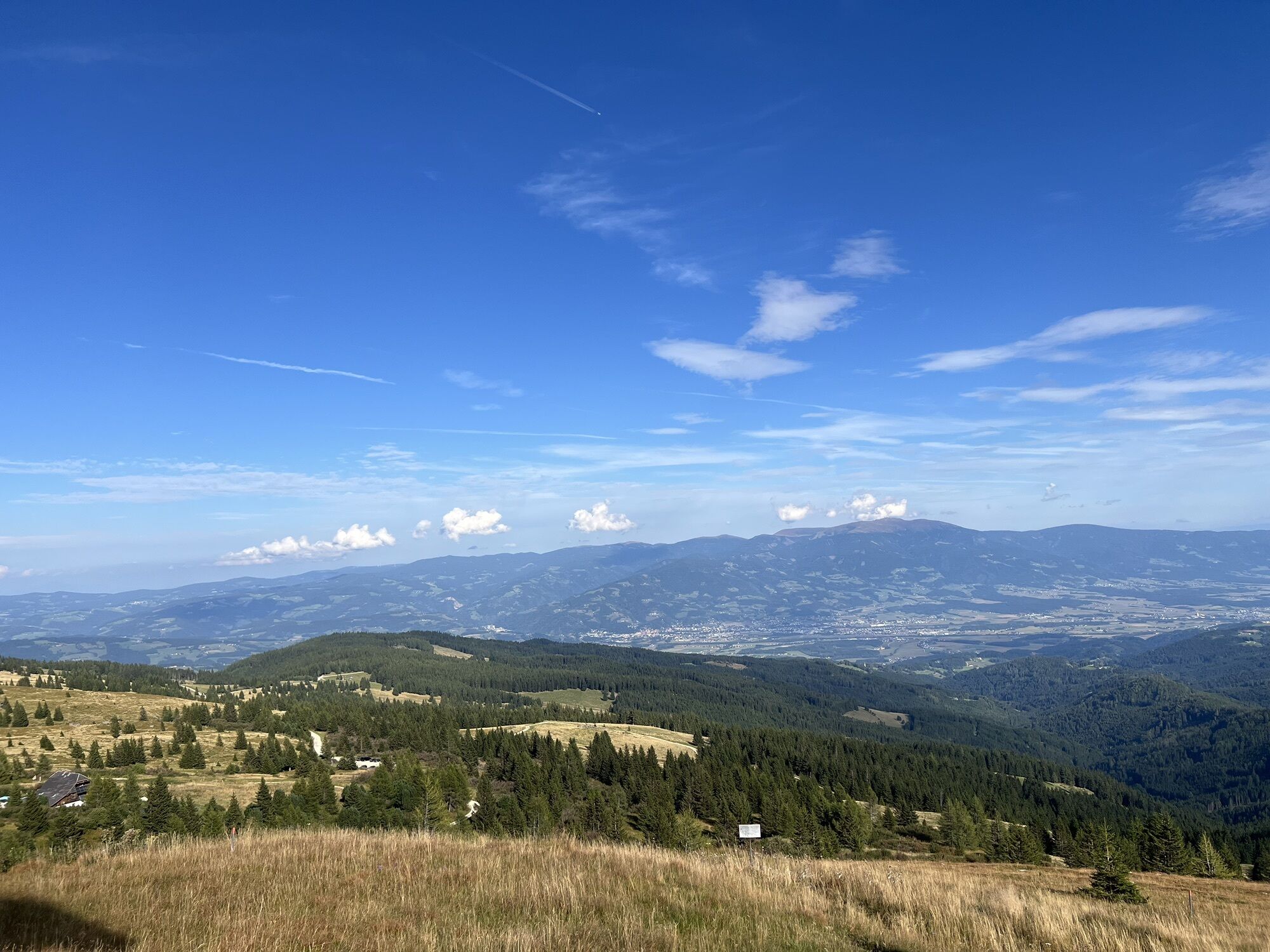
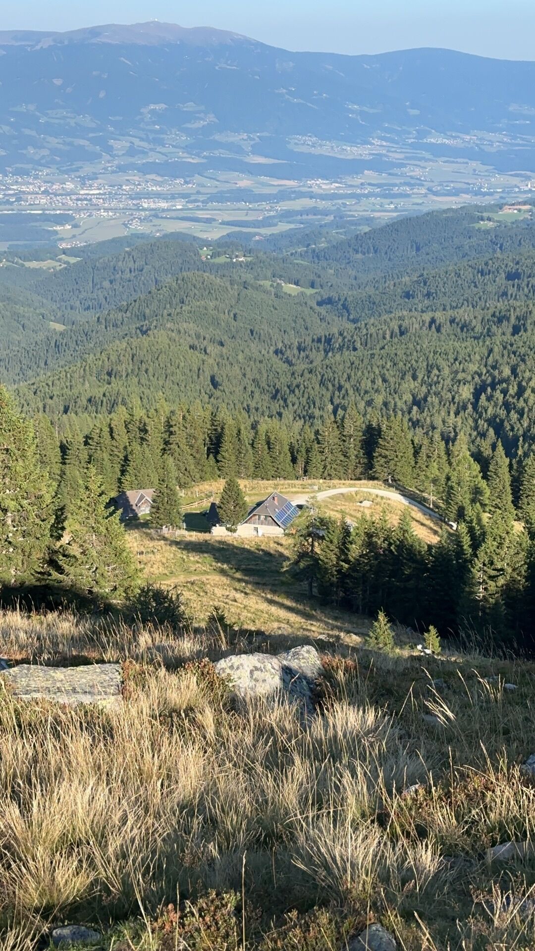
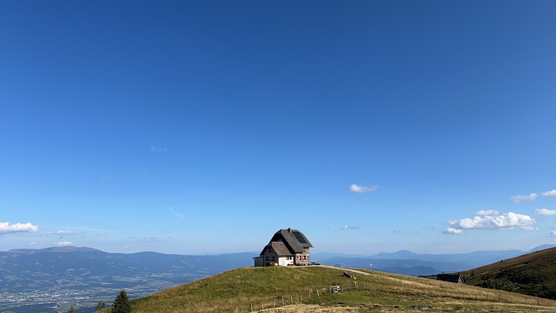
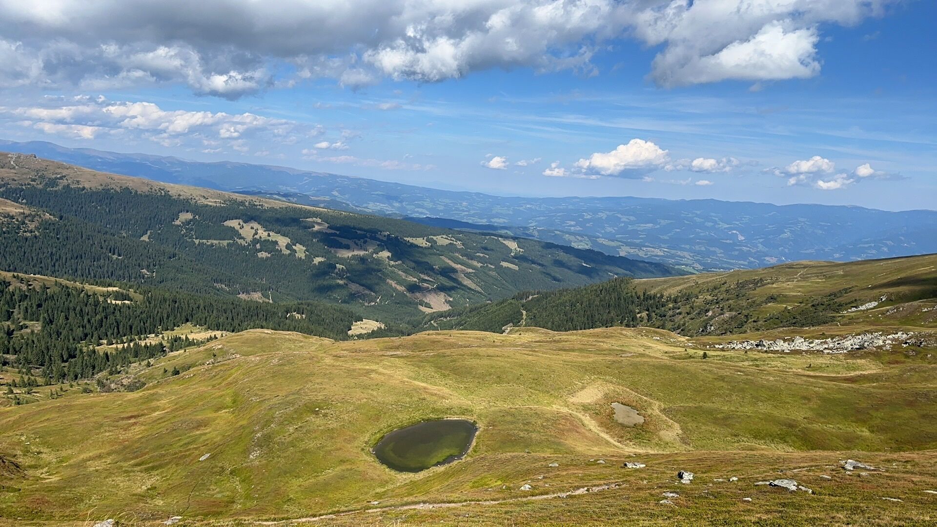
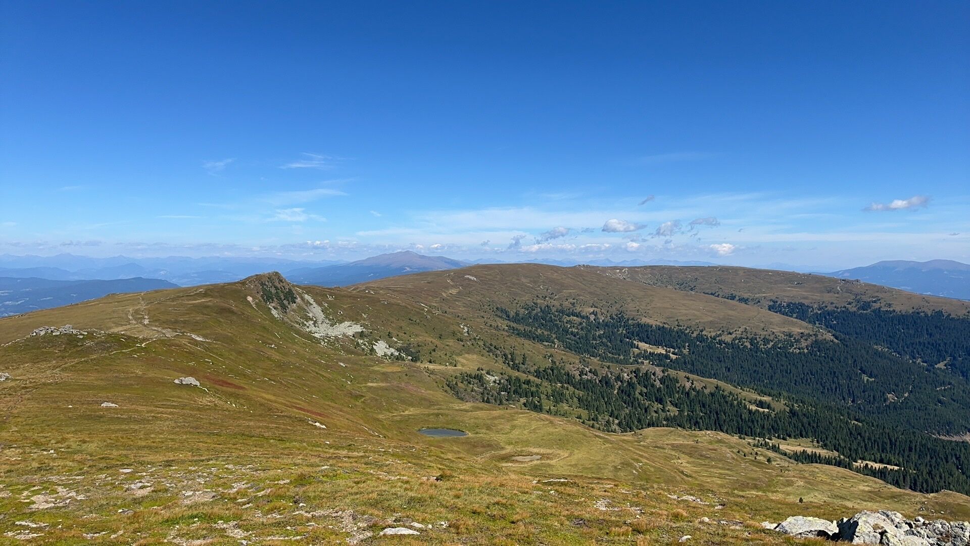
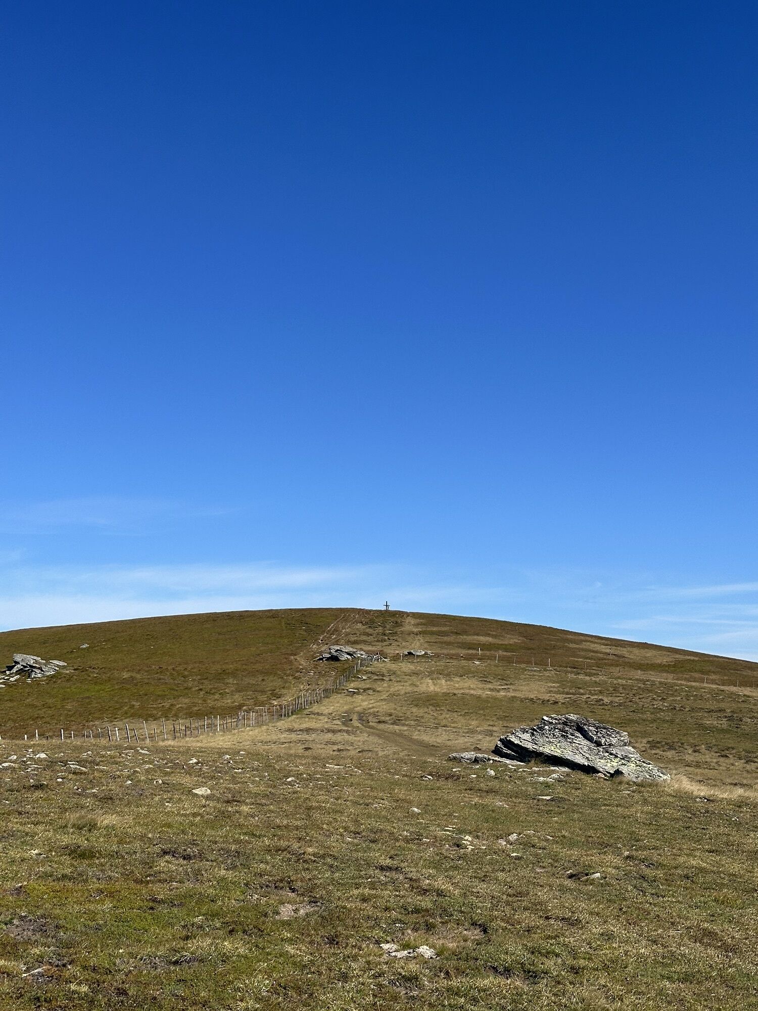
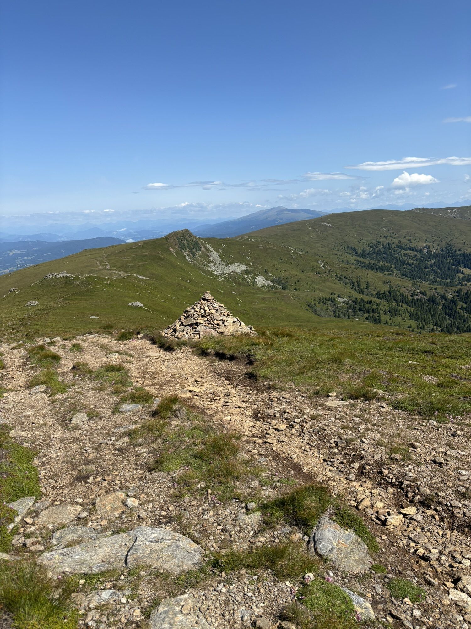
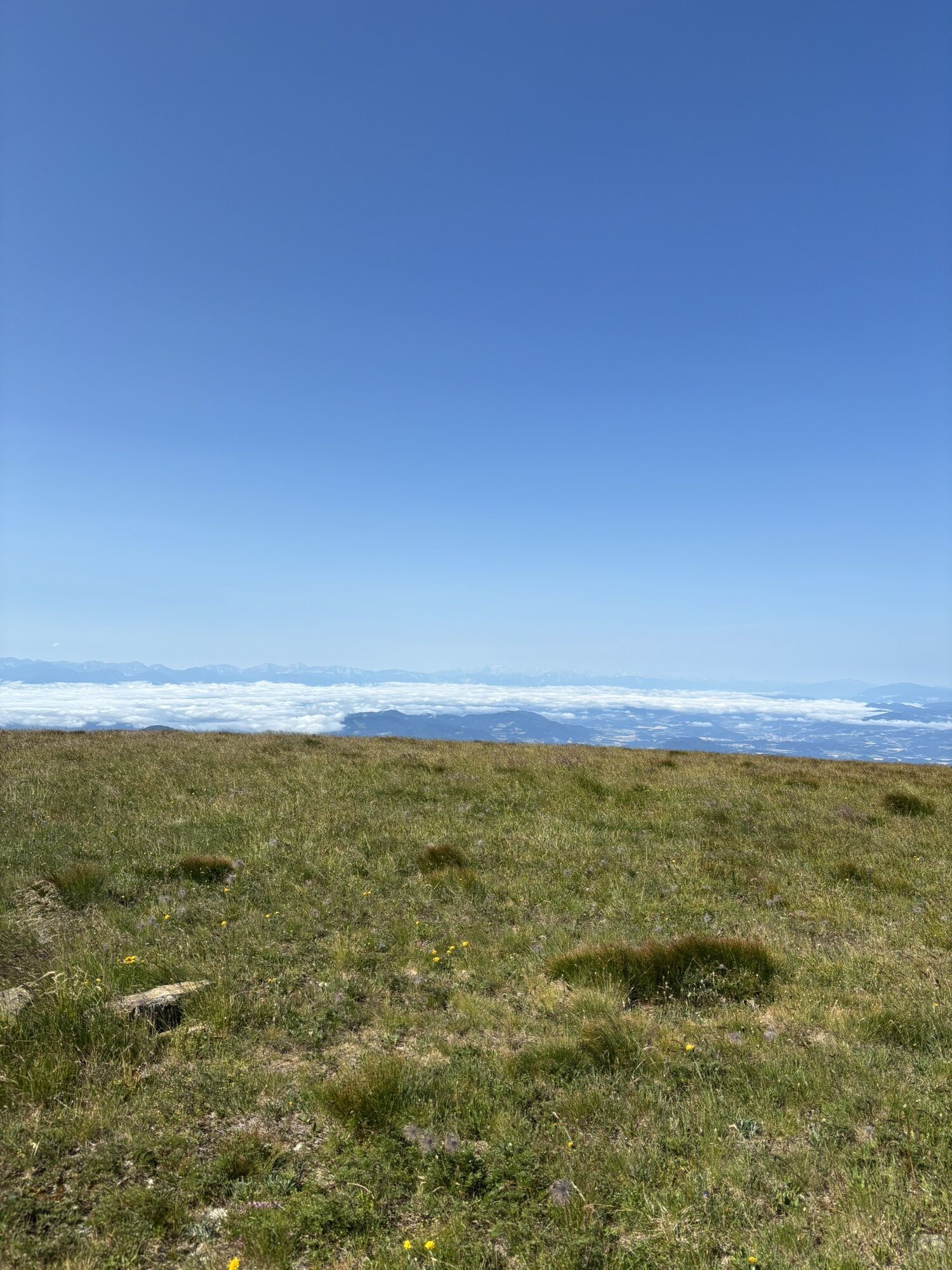
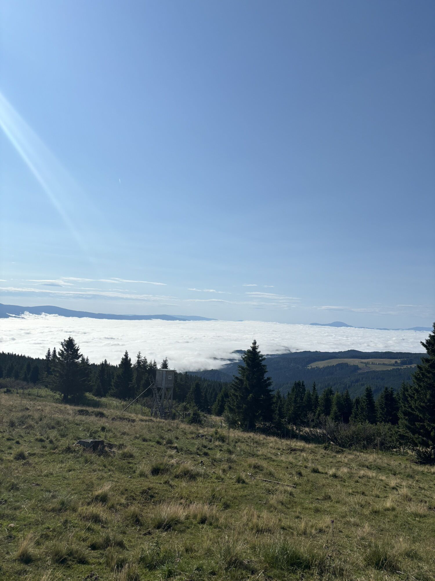


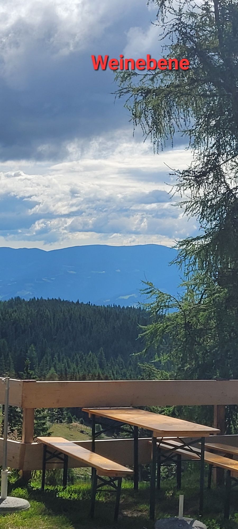
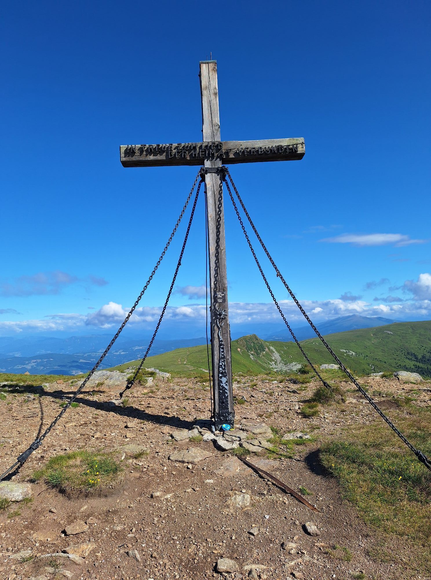
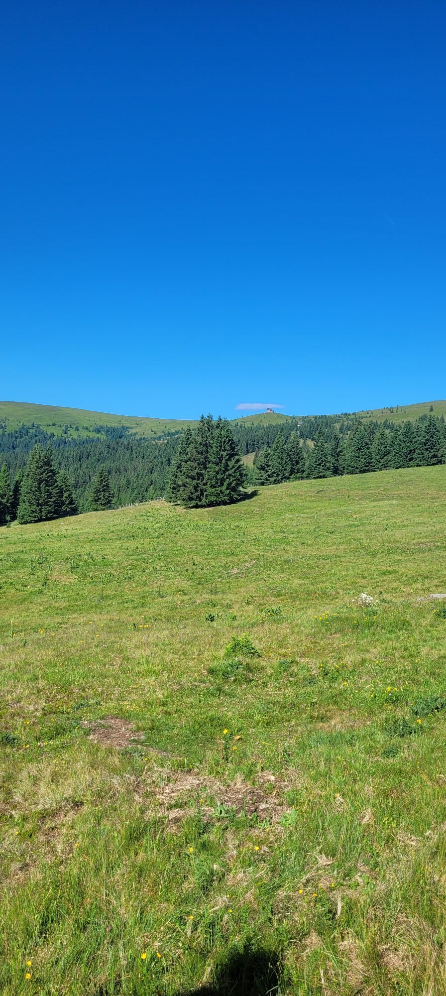
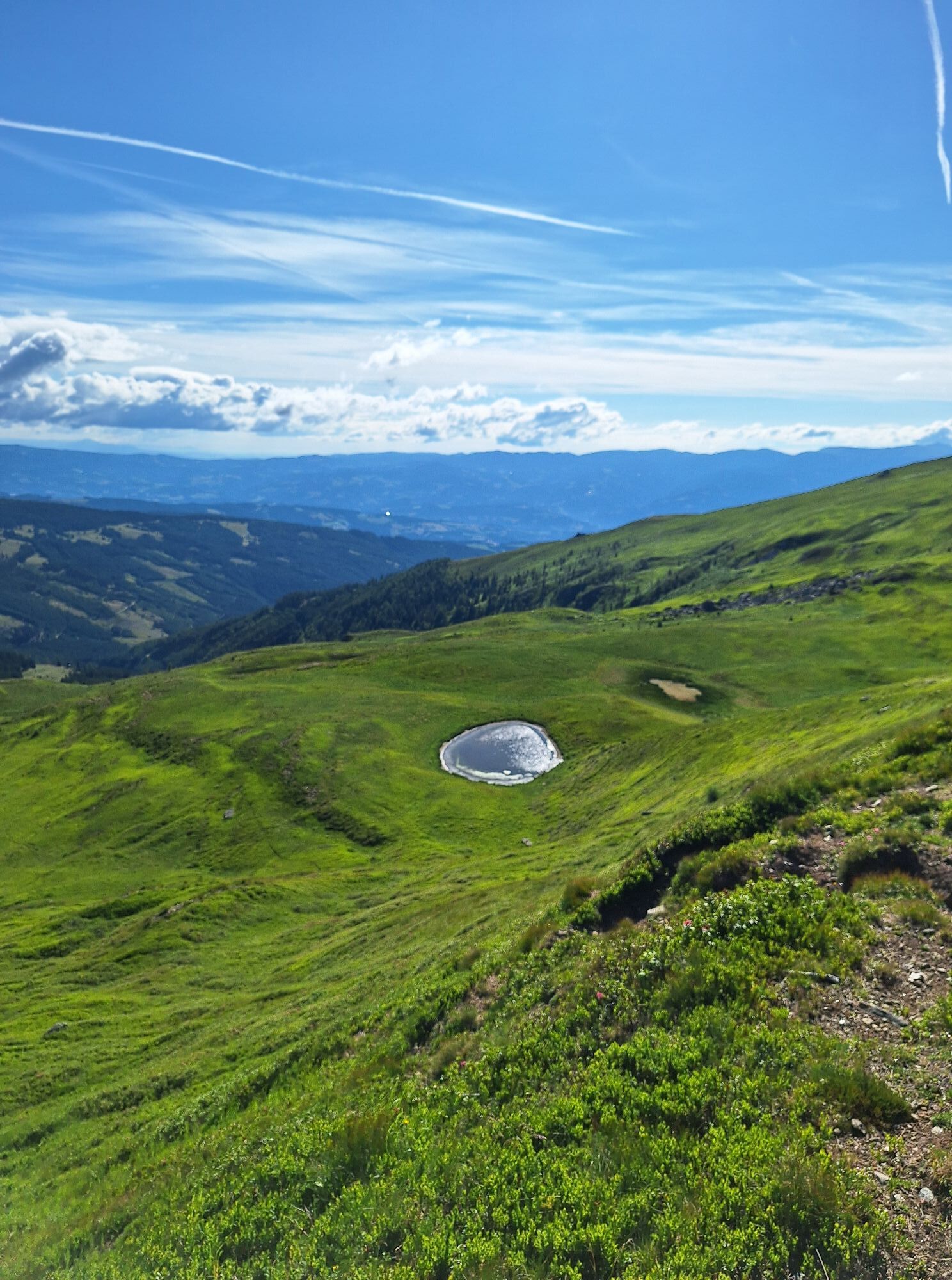
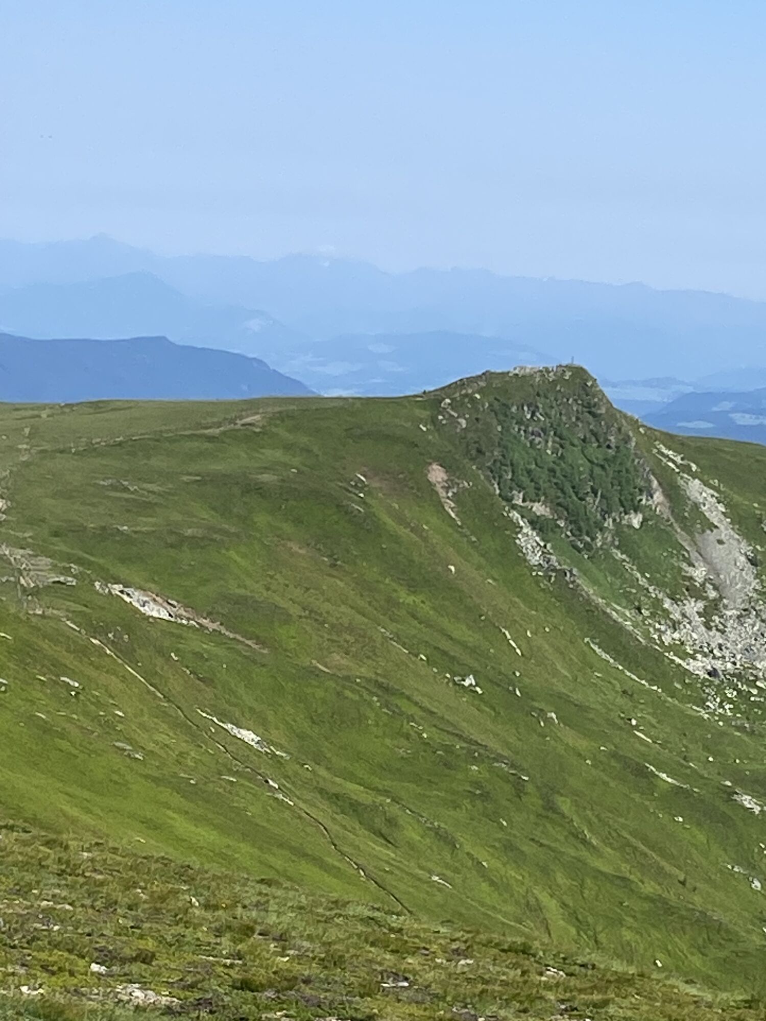
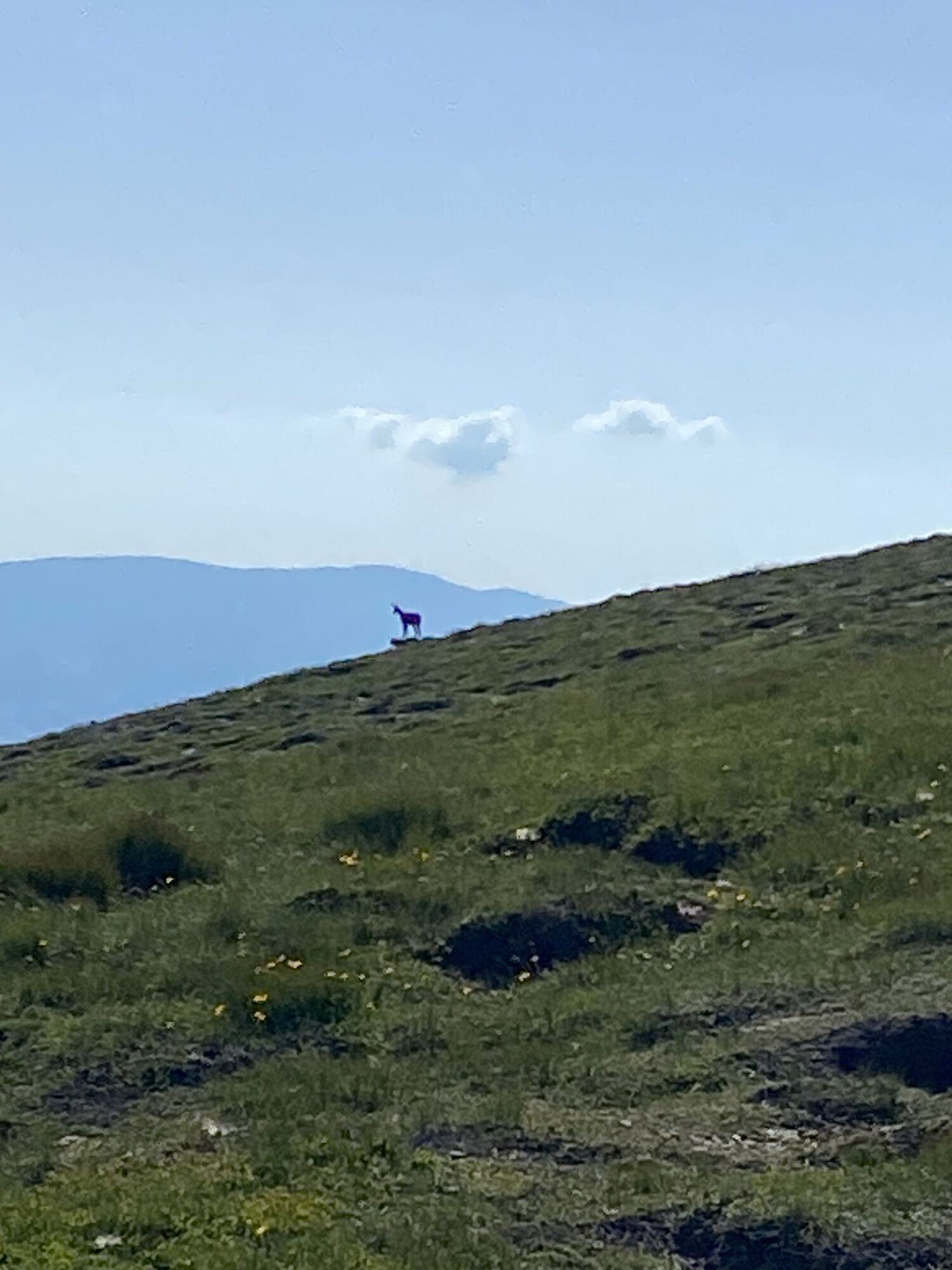
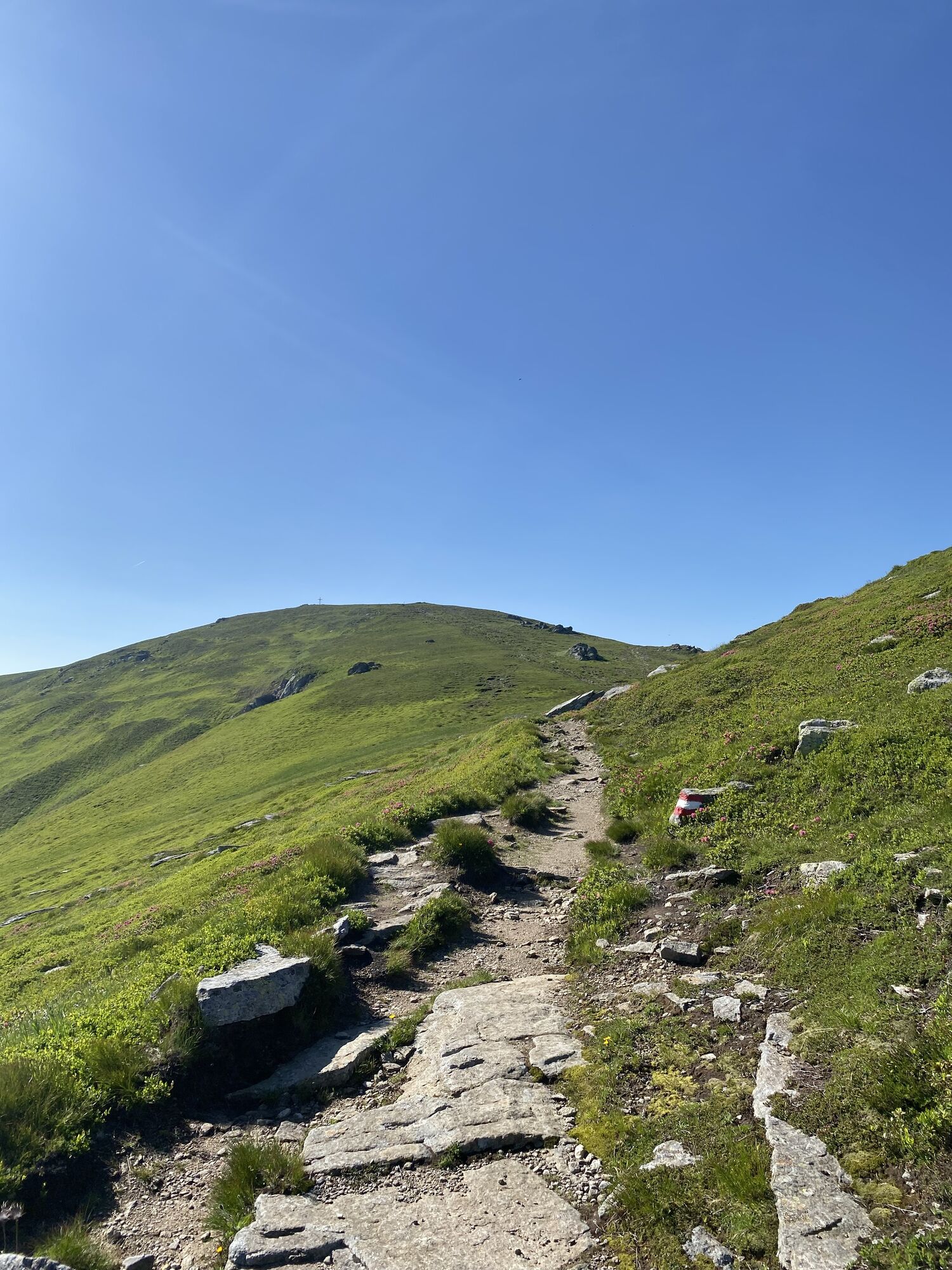
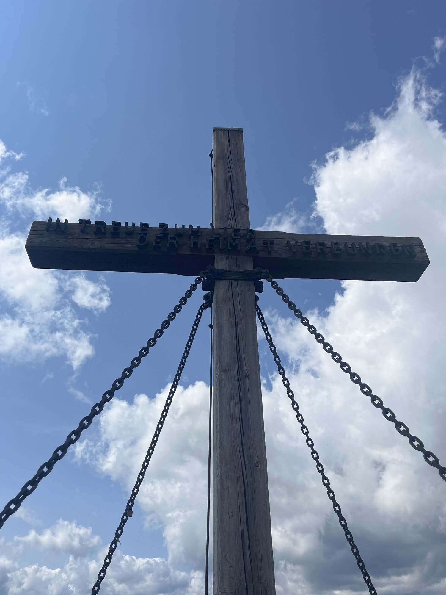
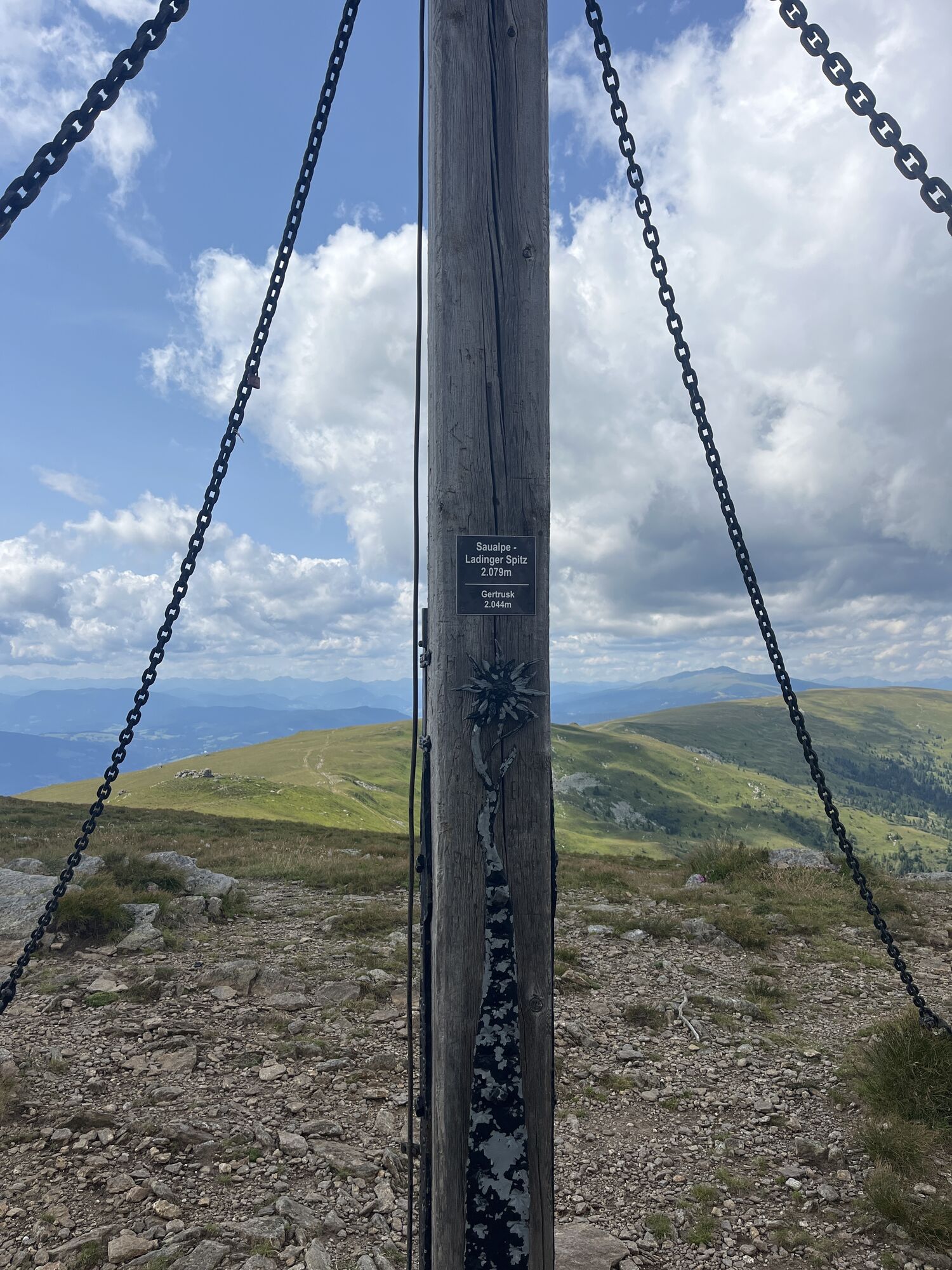
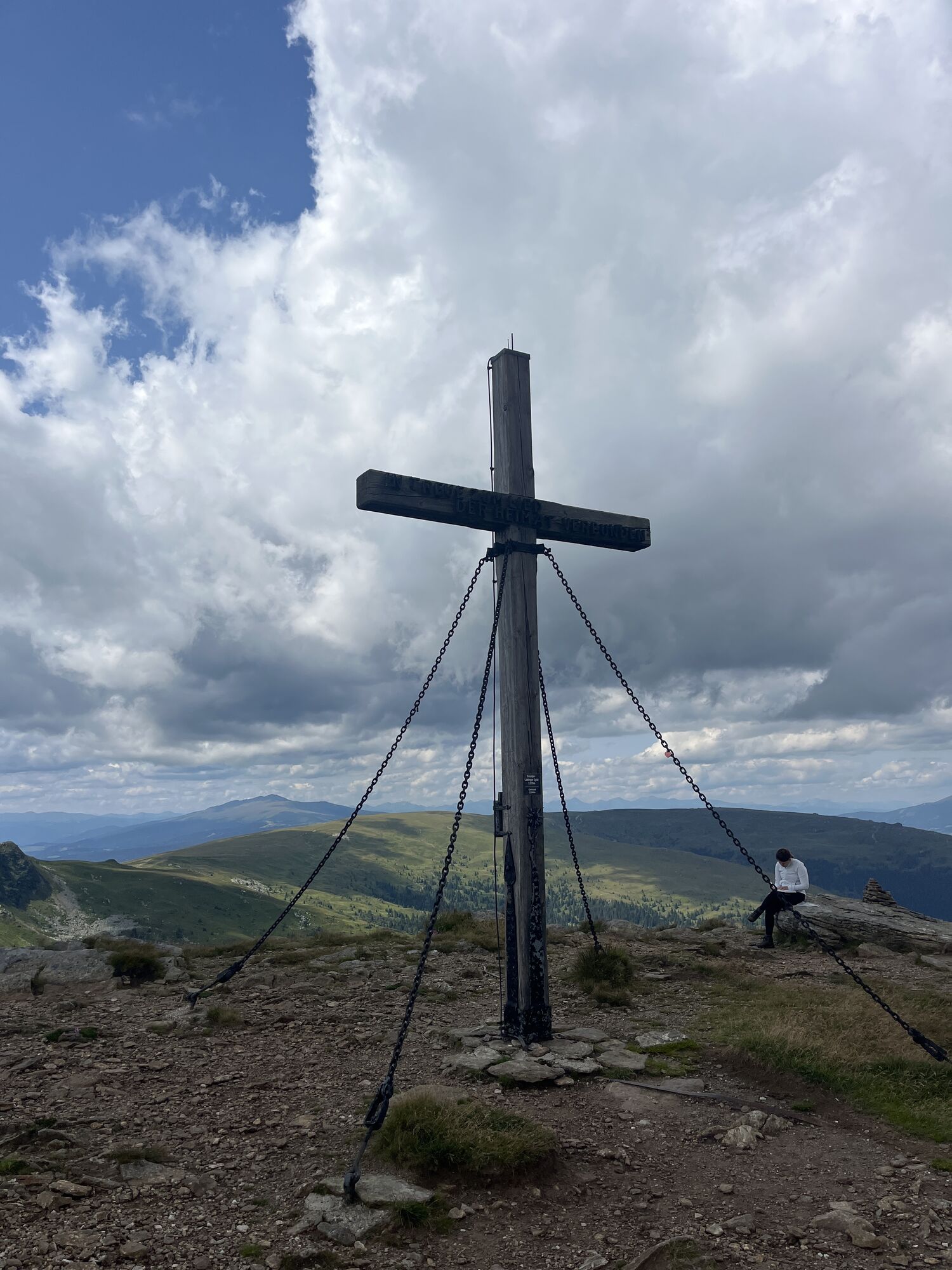
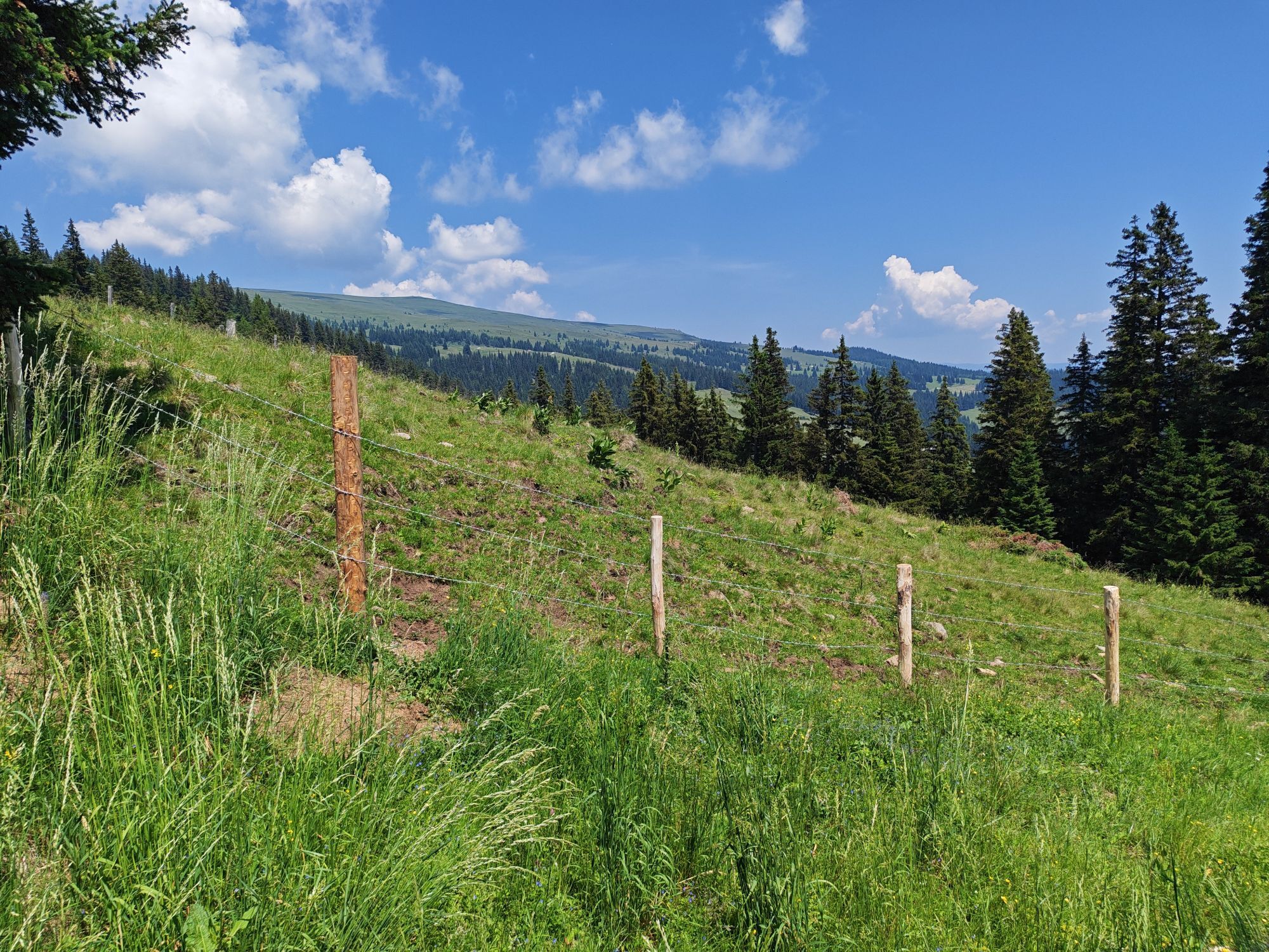
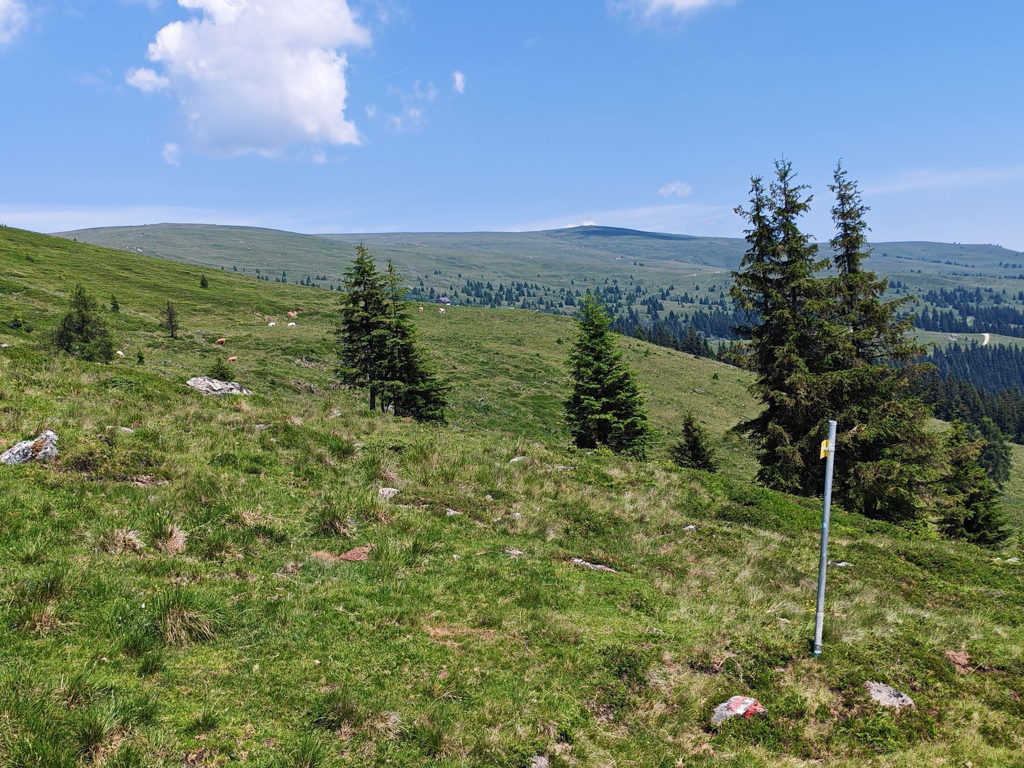
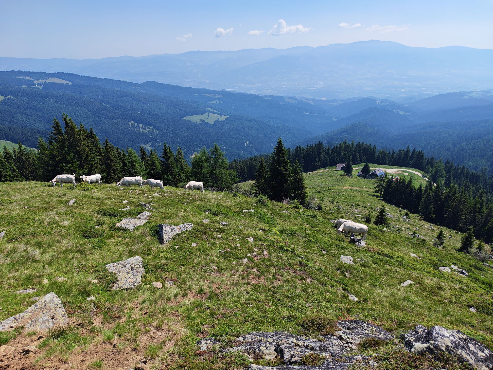
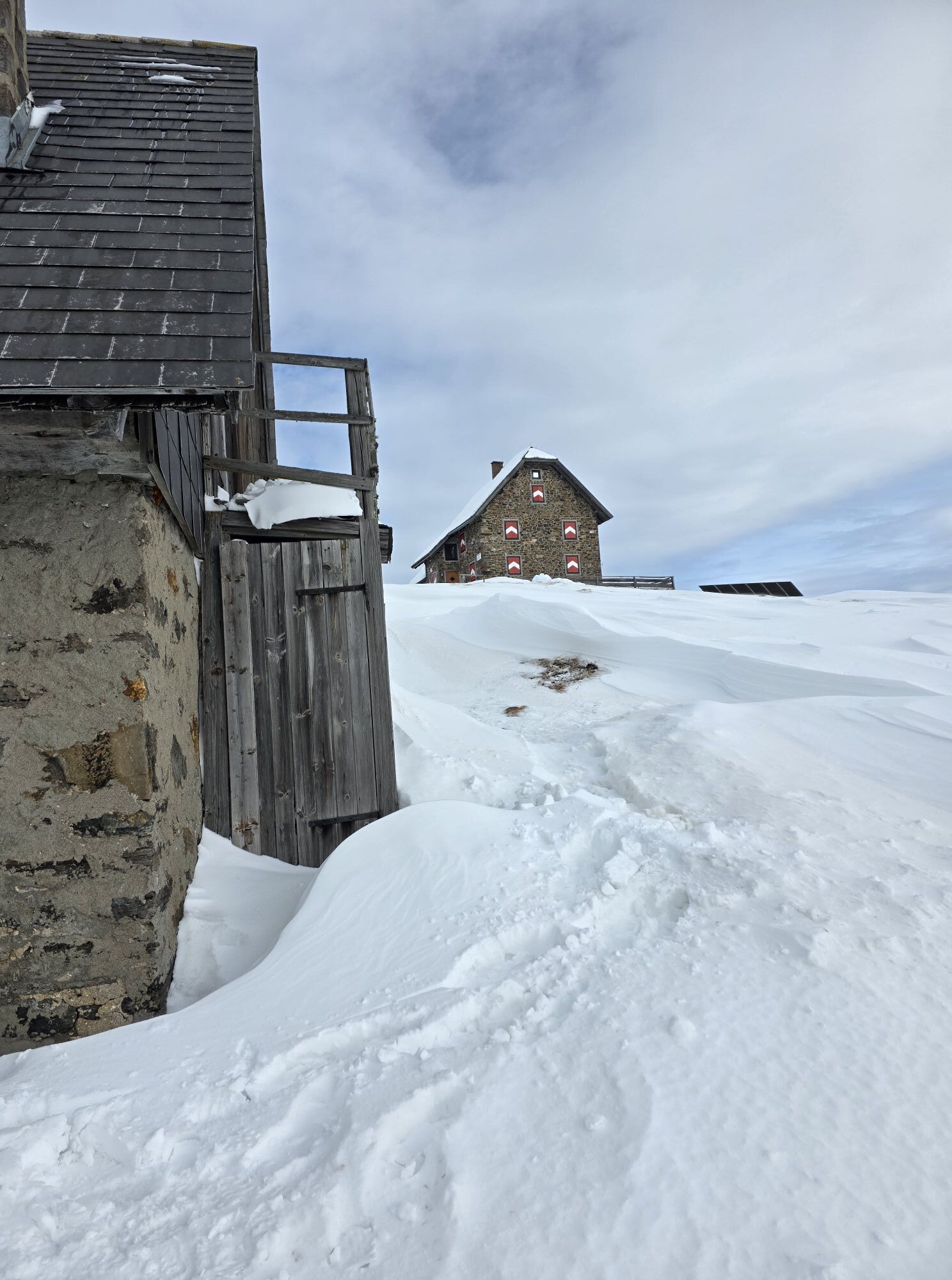
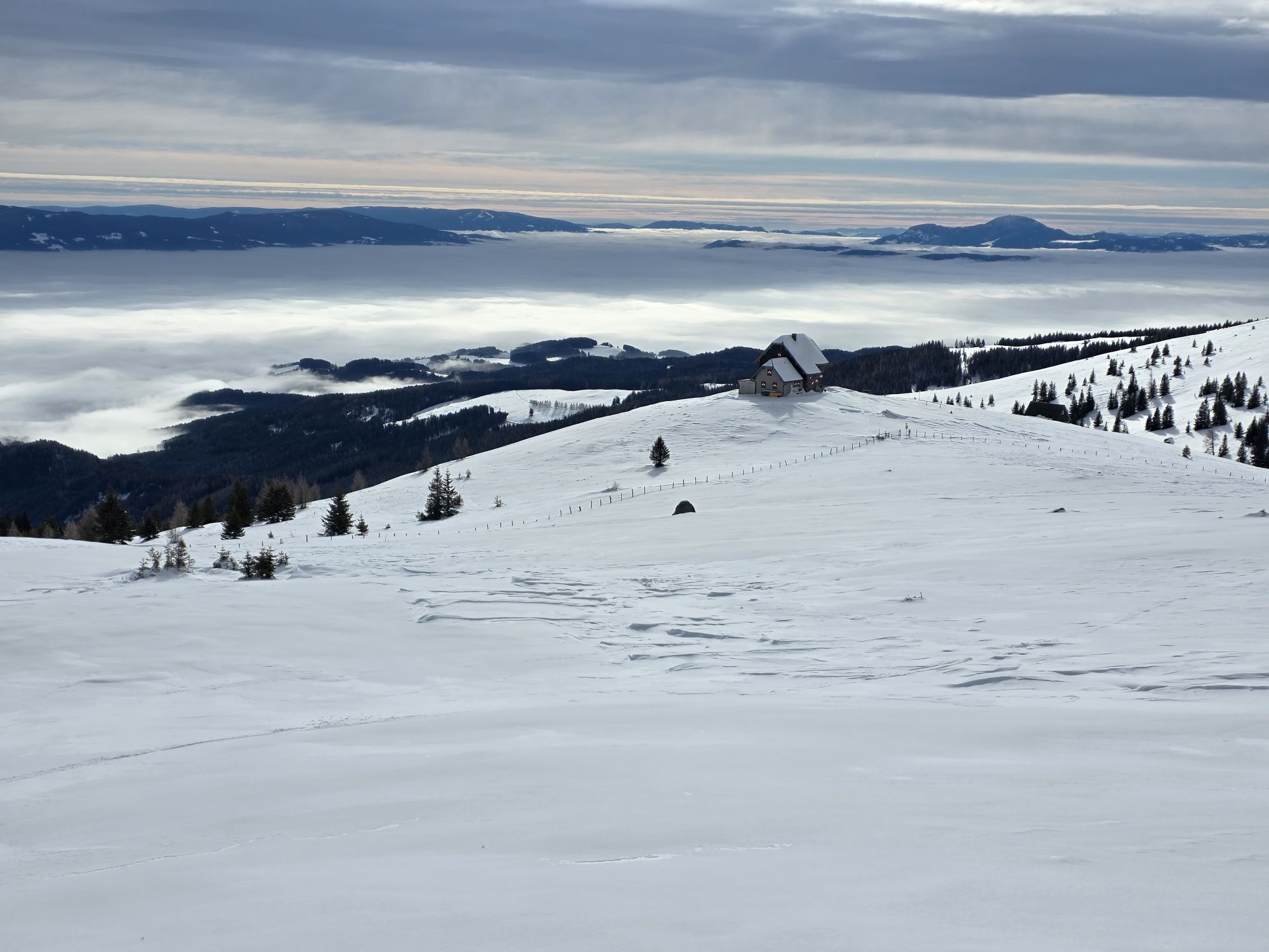
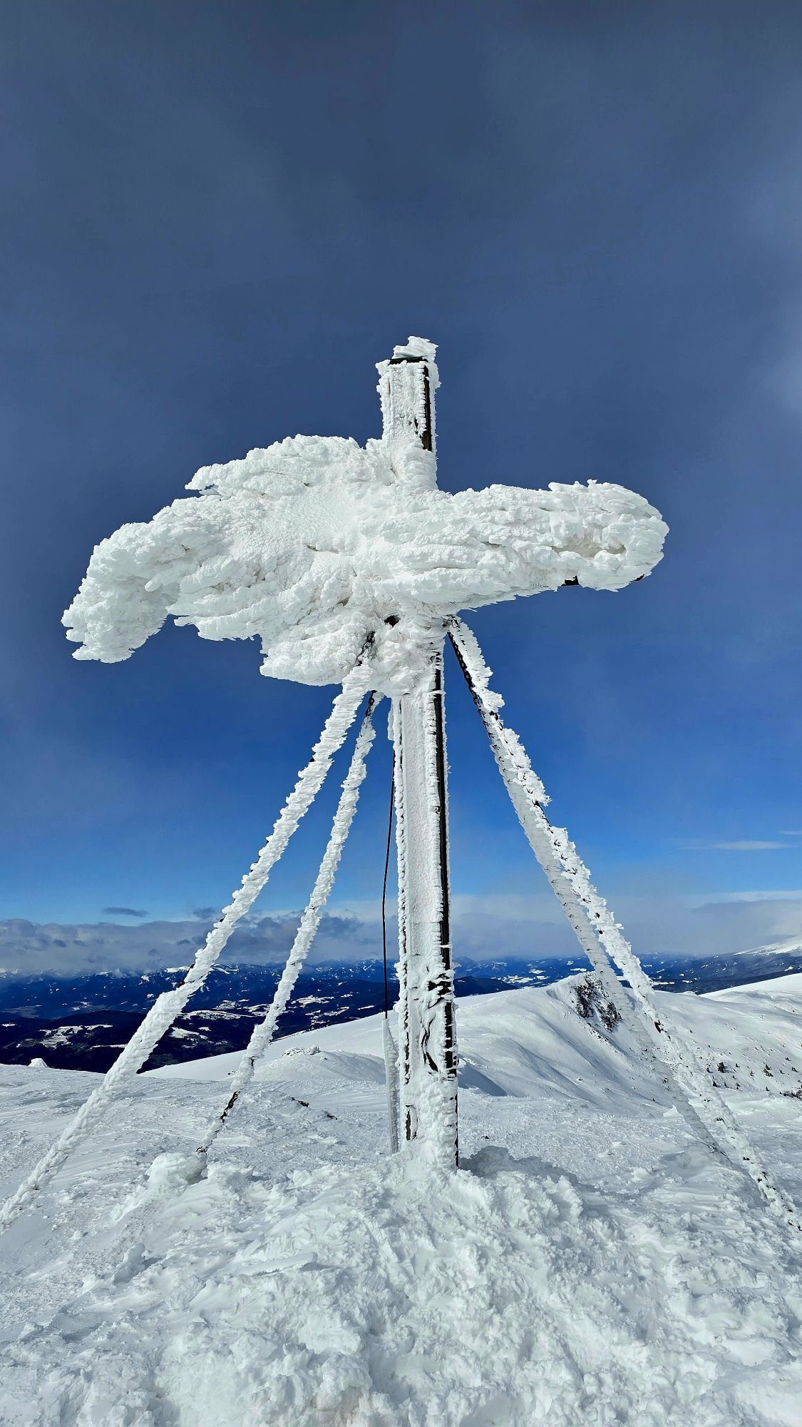
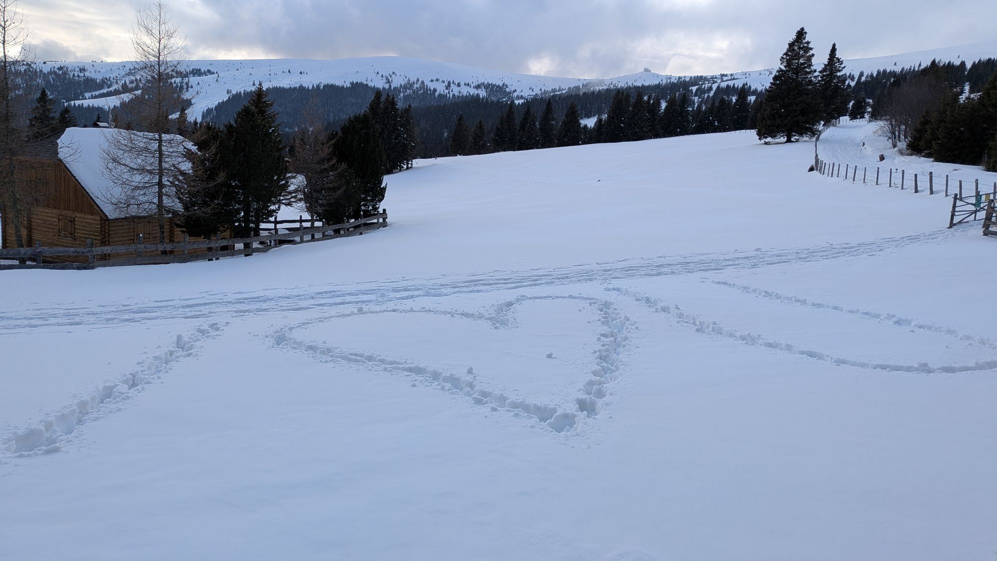
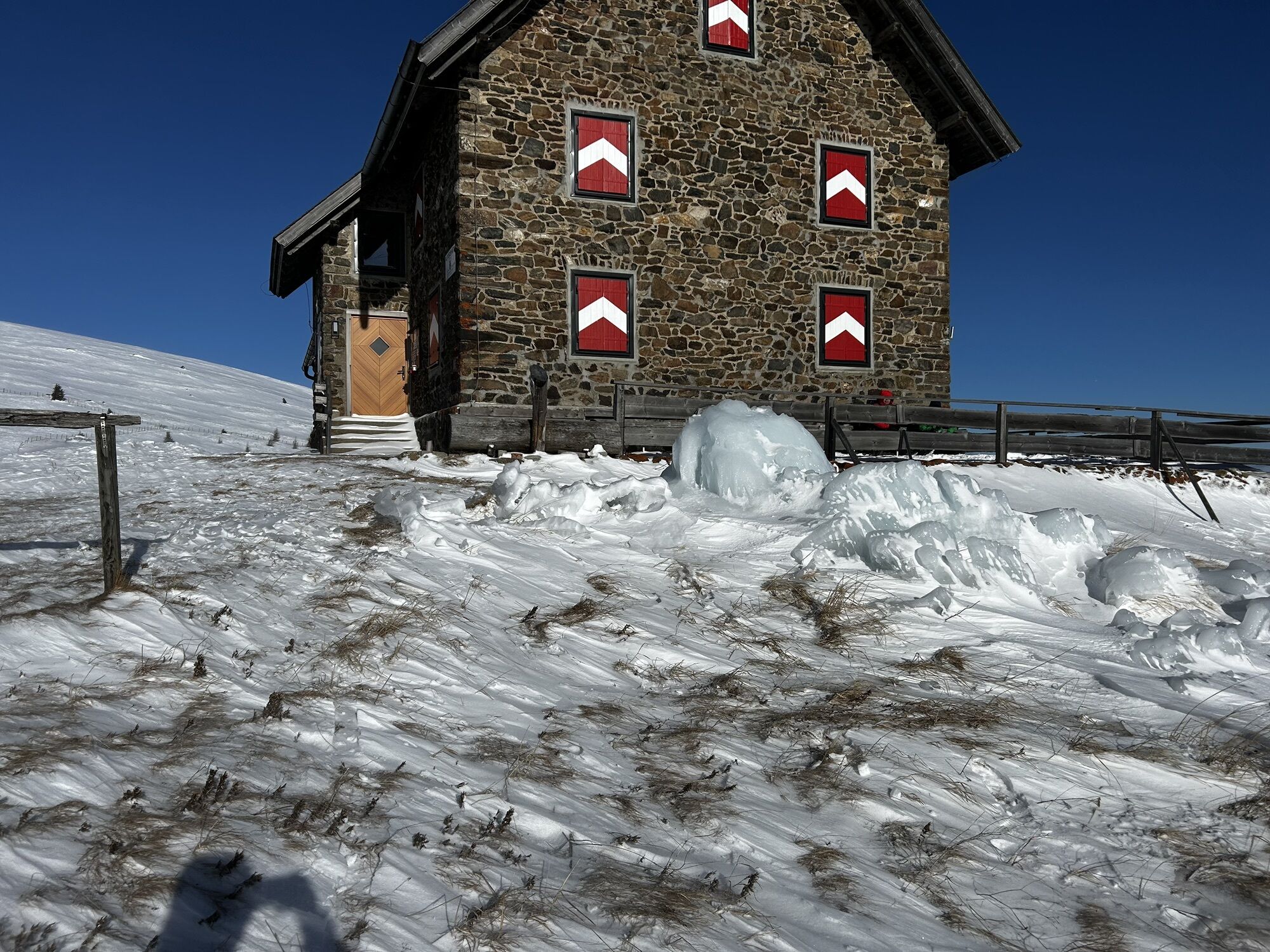

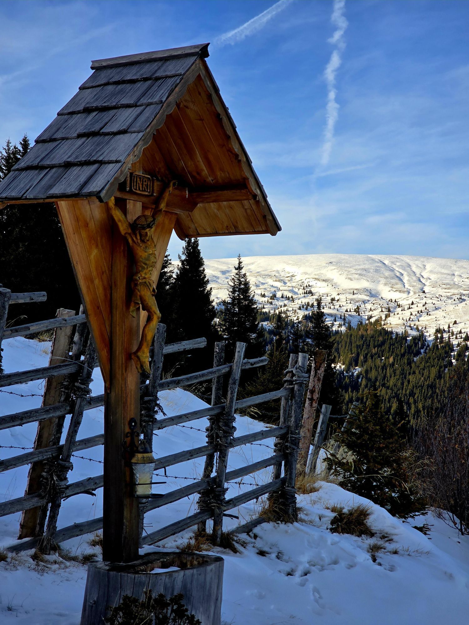
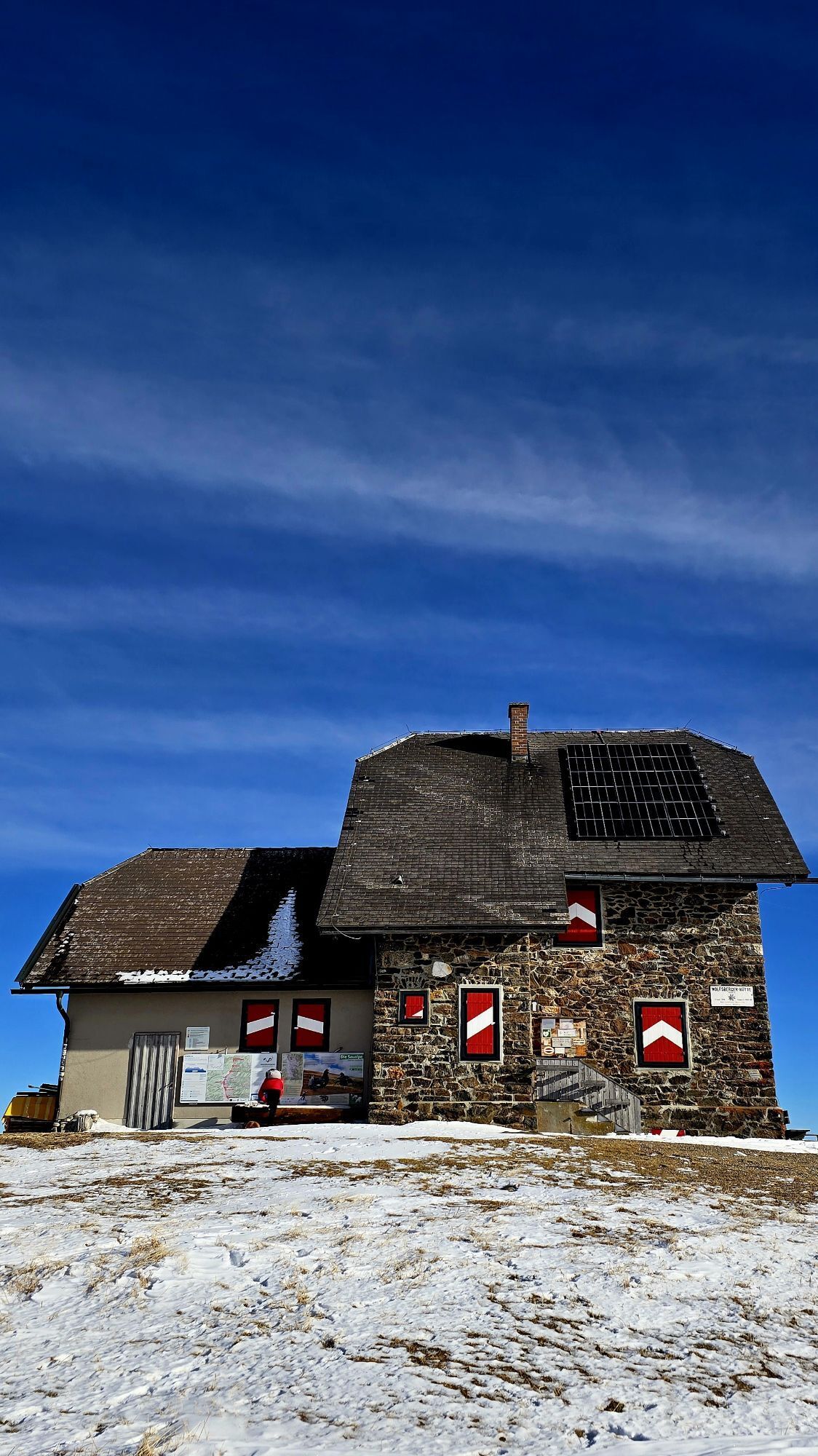
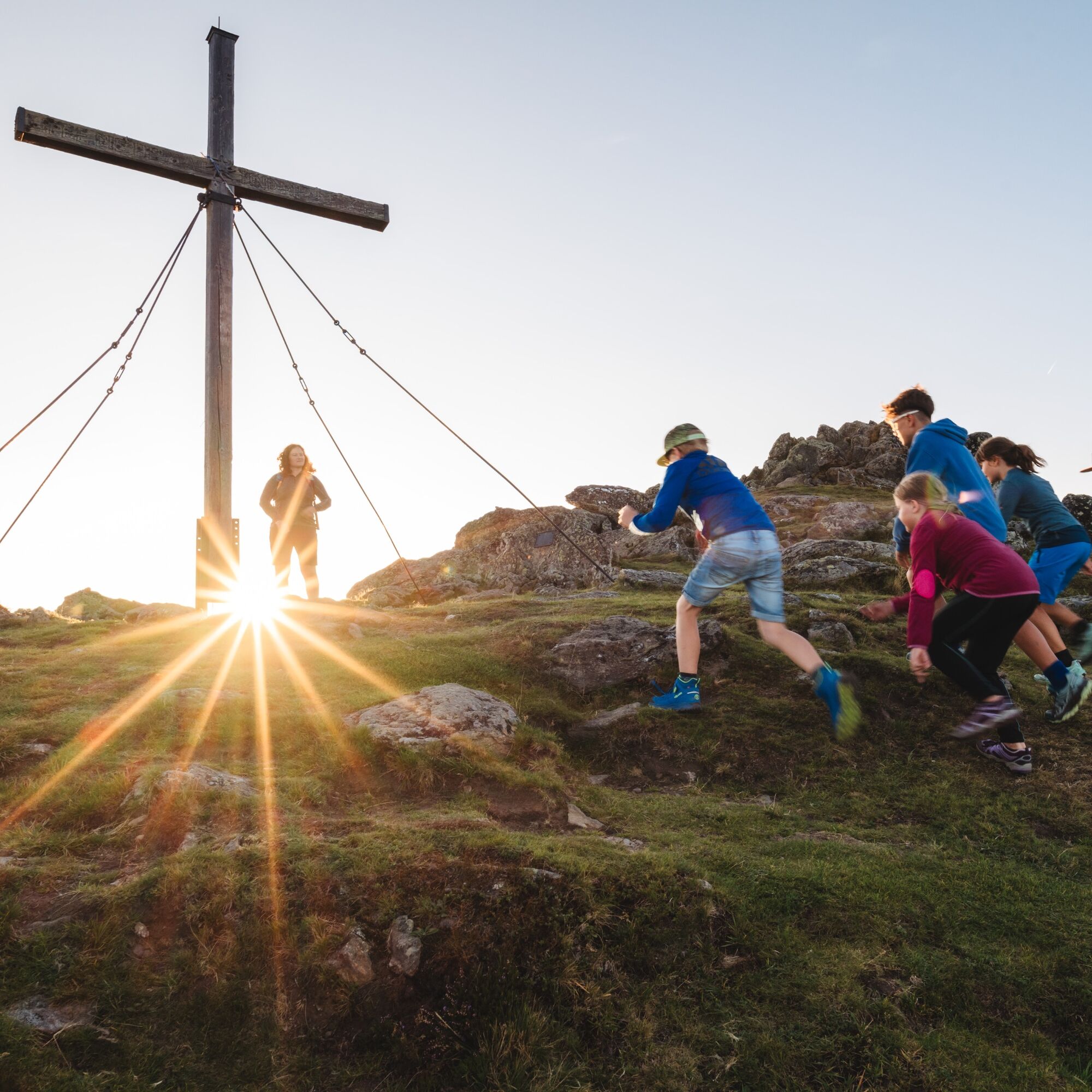
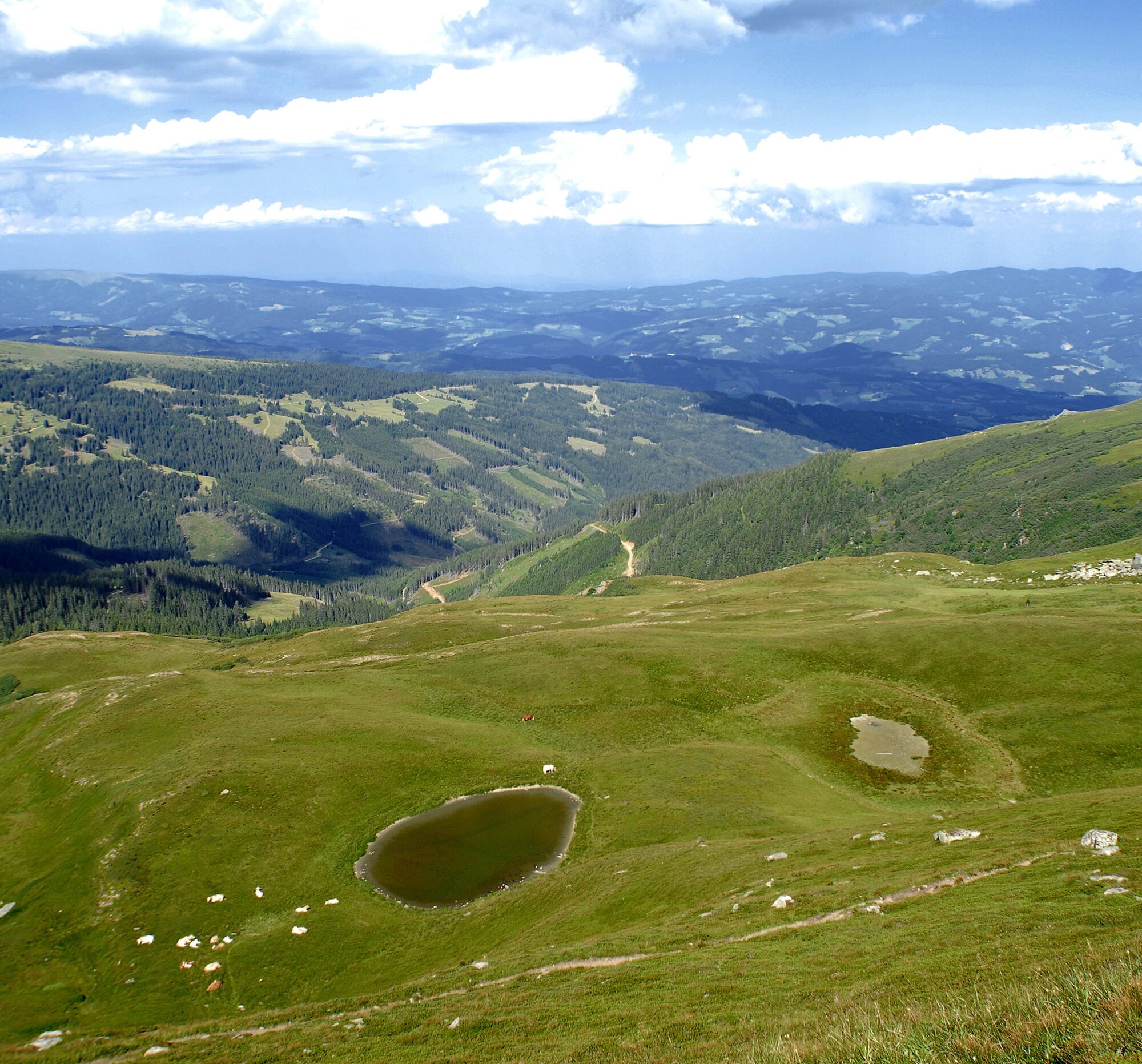
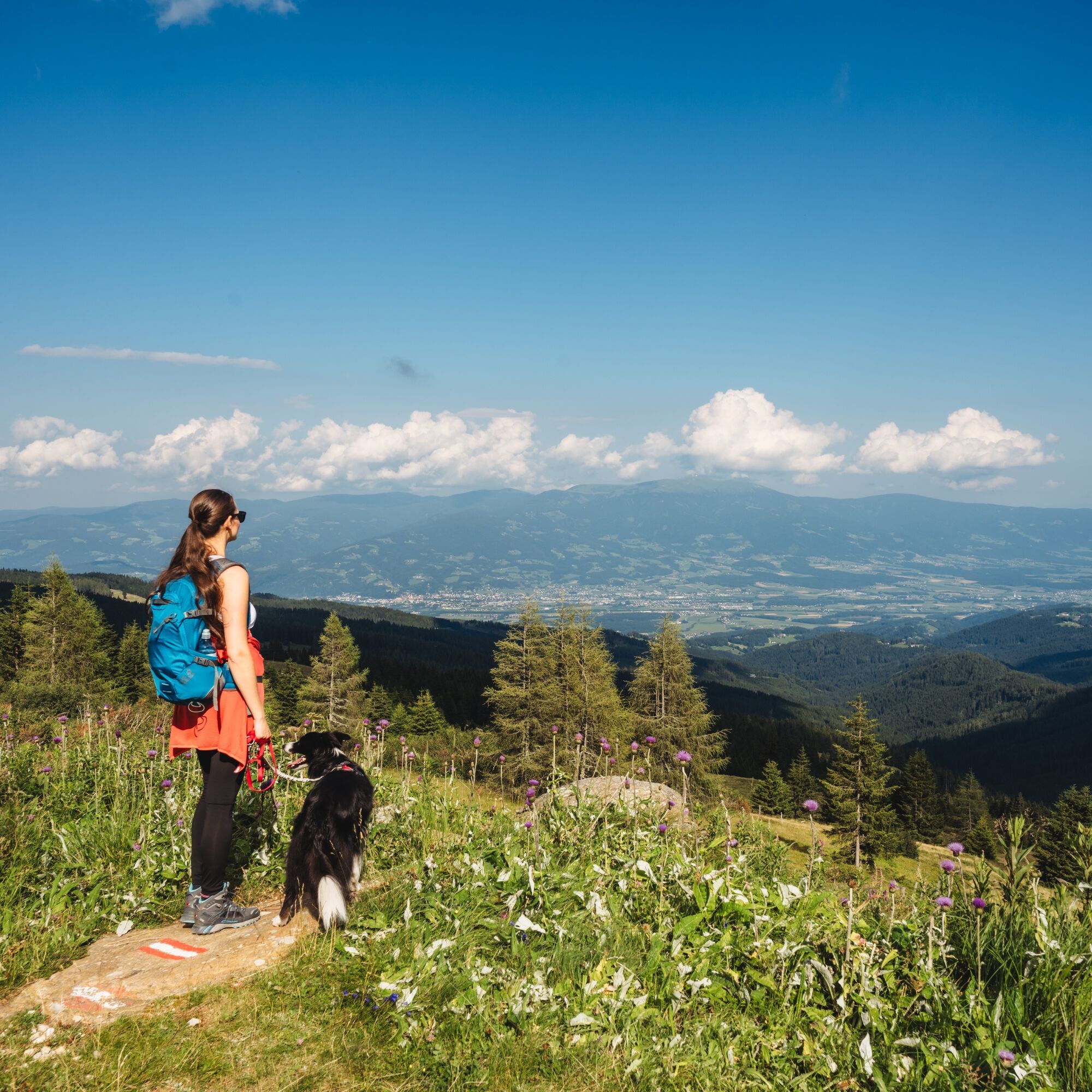
The highlight of the tour is the Ladinger Spitz, with its breathtaking panorama as far as the eye can see. To the north, the Zirbitzkogel, to the east the Pack and Koralpe, and to the south the Karawanks.
The...
The highlight of the tour is the Ladinger Spitz, with its breathtaking panorama as far as the eye can see. To the north, the Zirbitzkogel, to the east the Pack and Koralpe, and to the south the Karawanks.
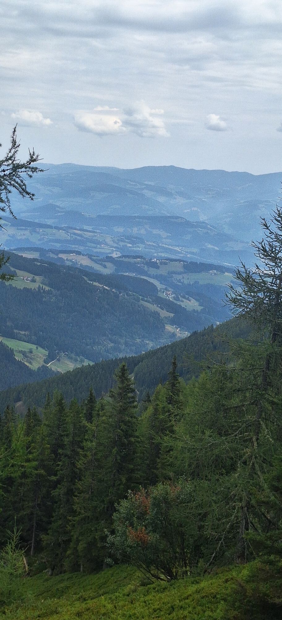
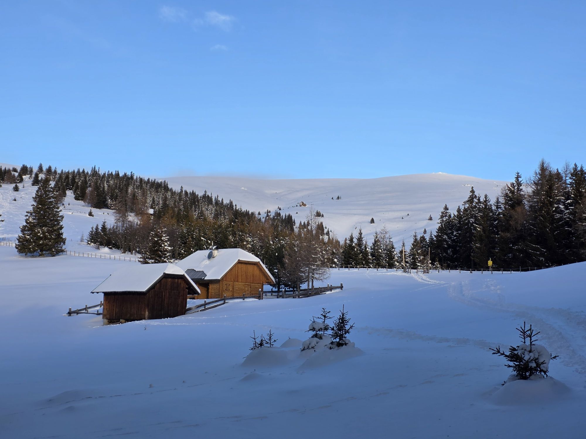
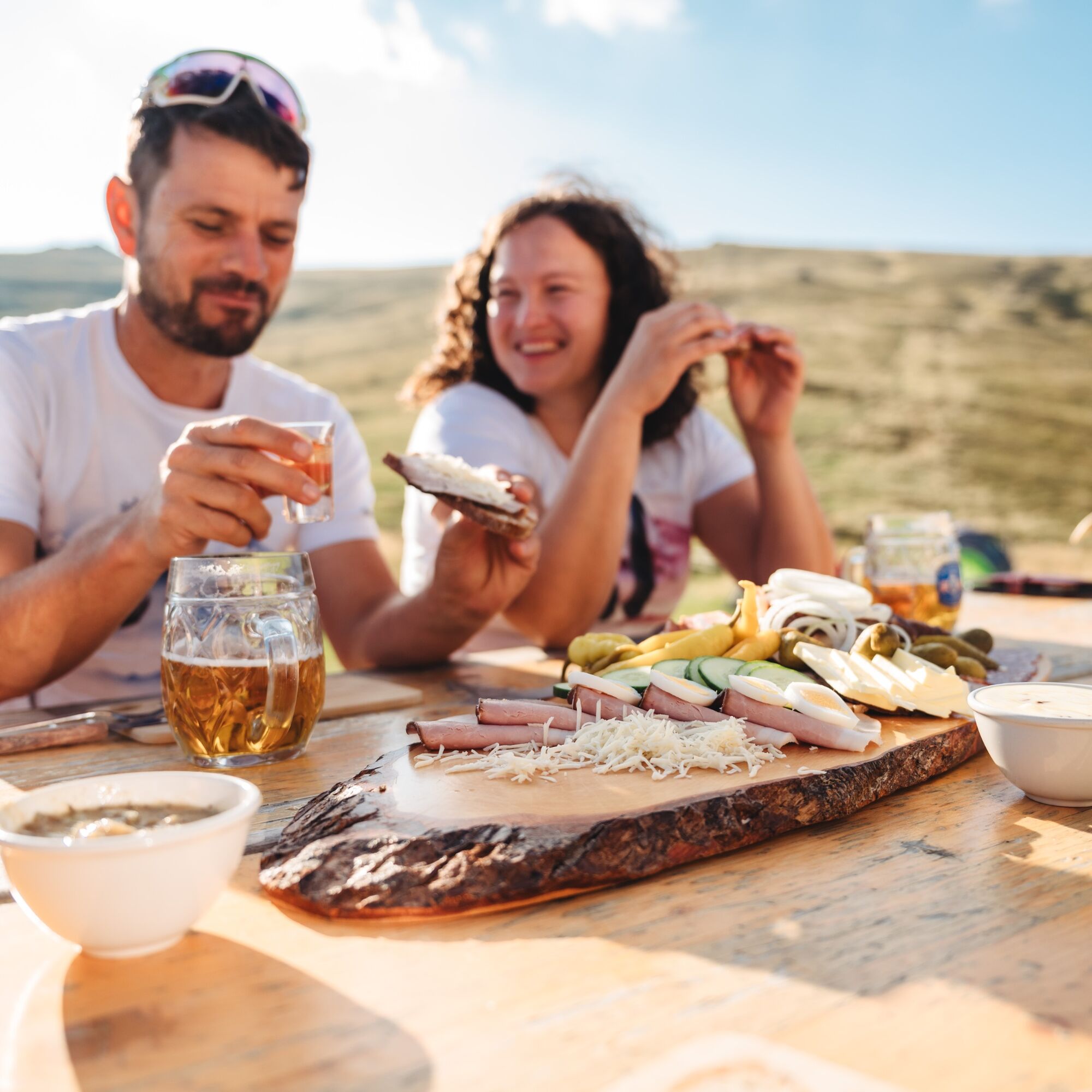
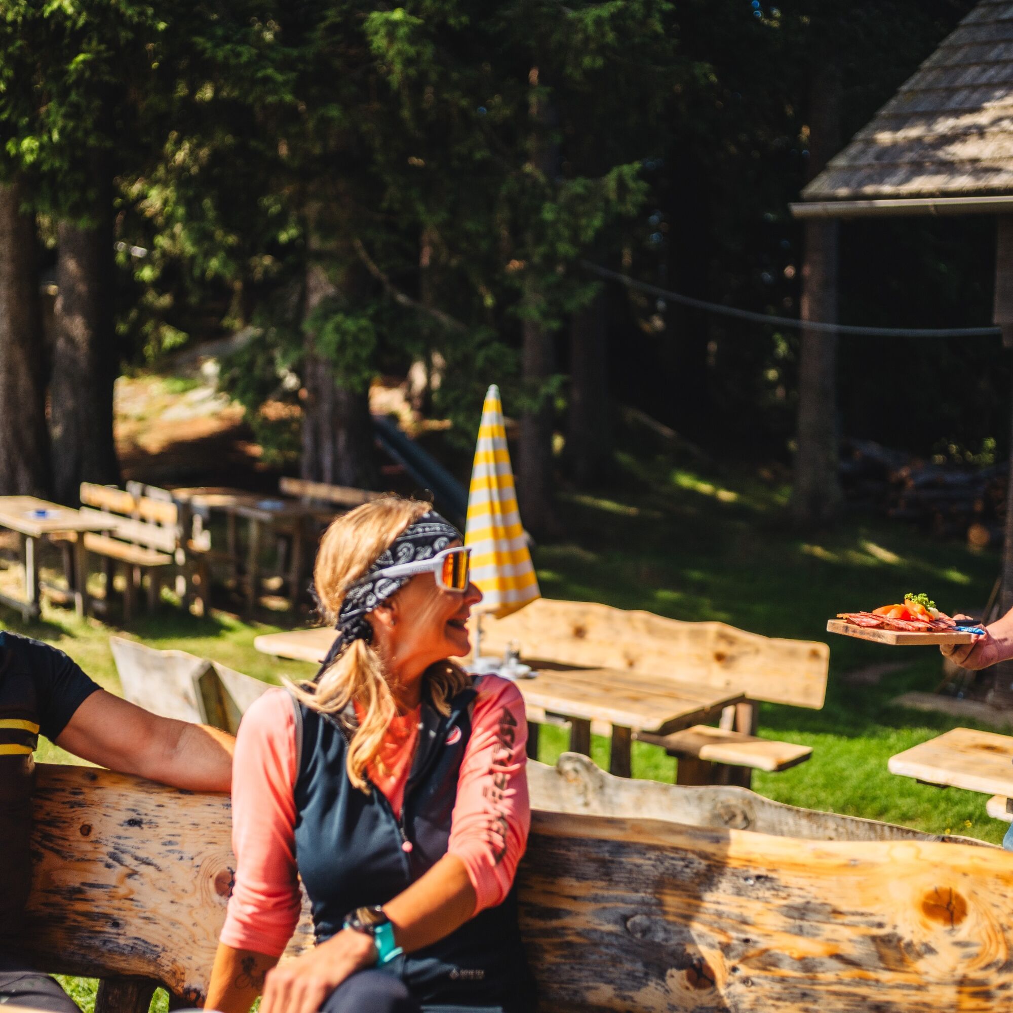
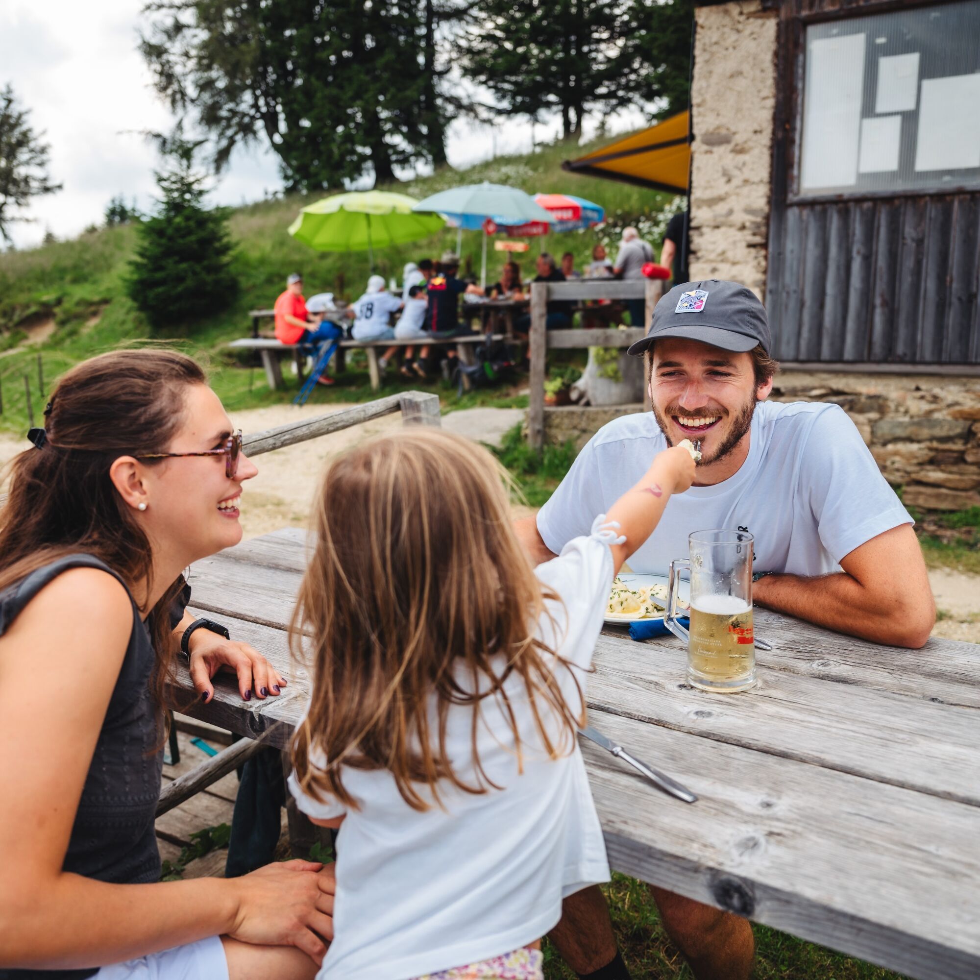
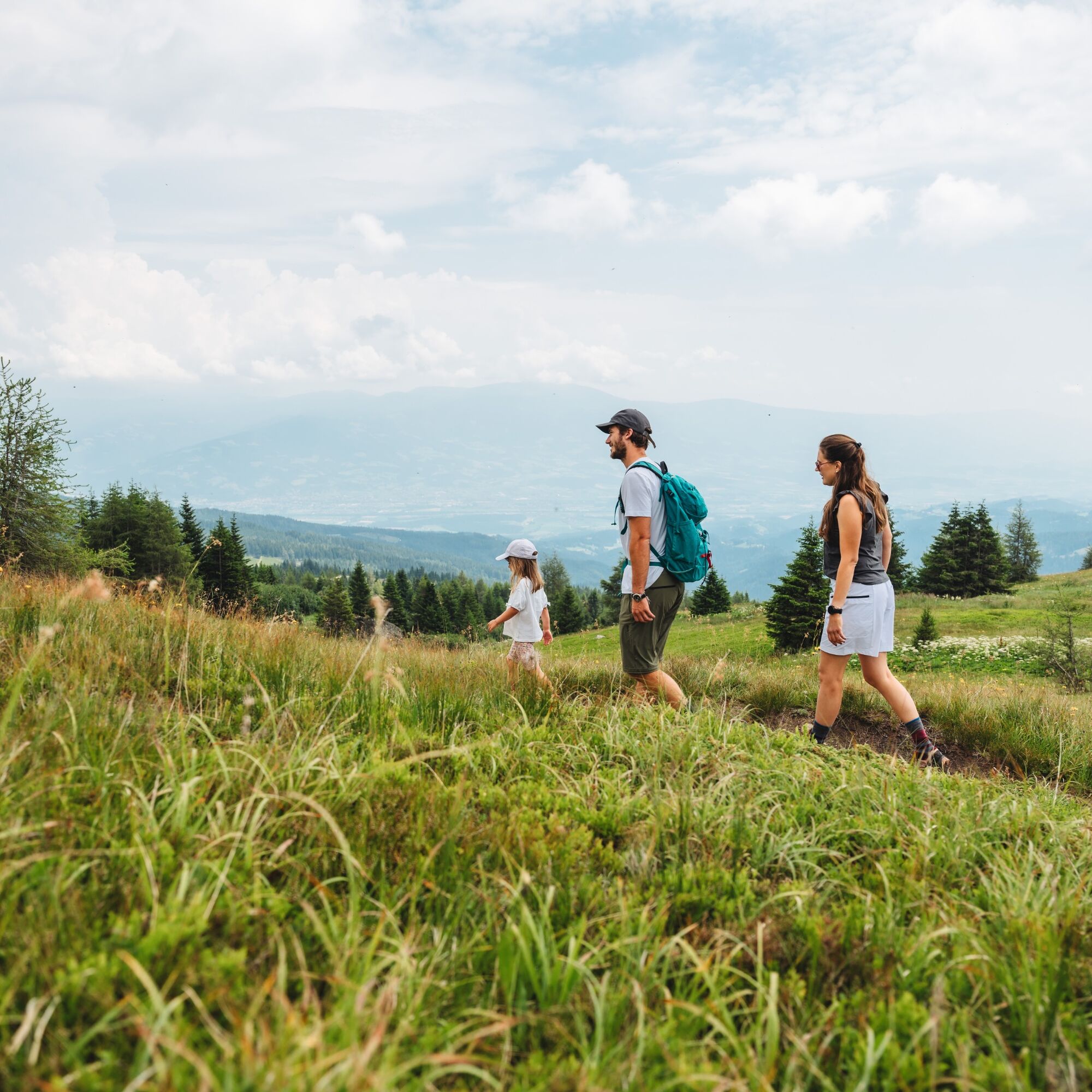
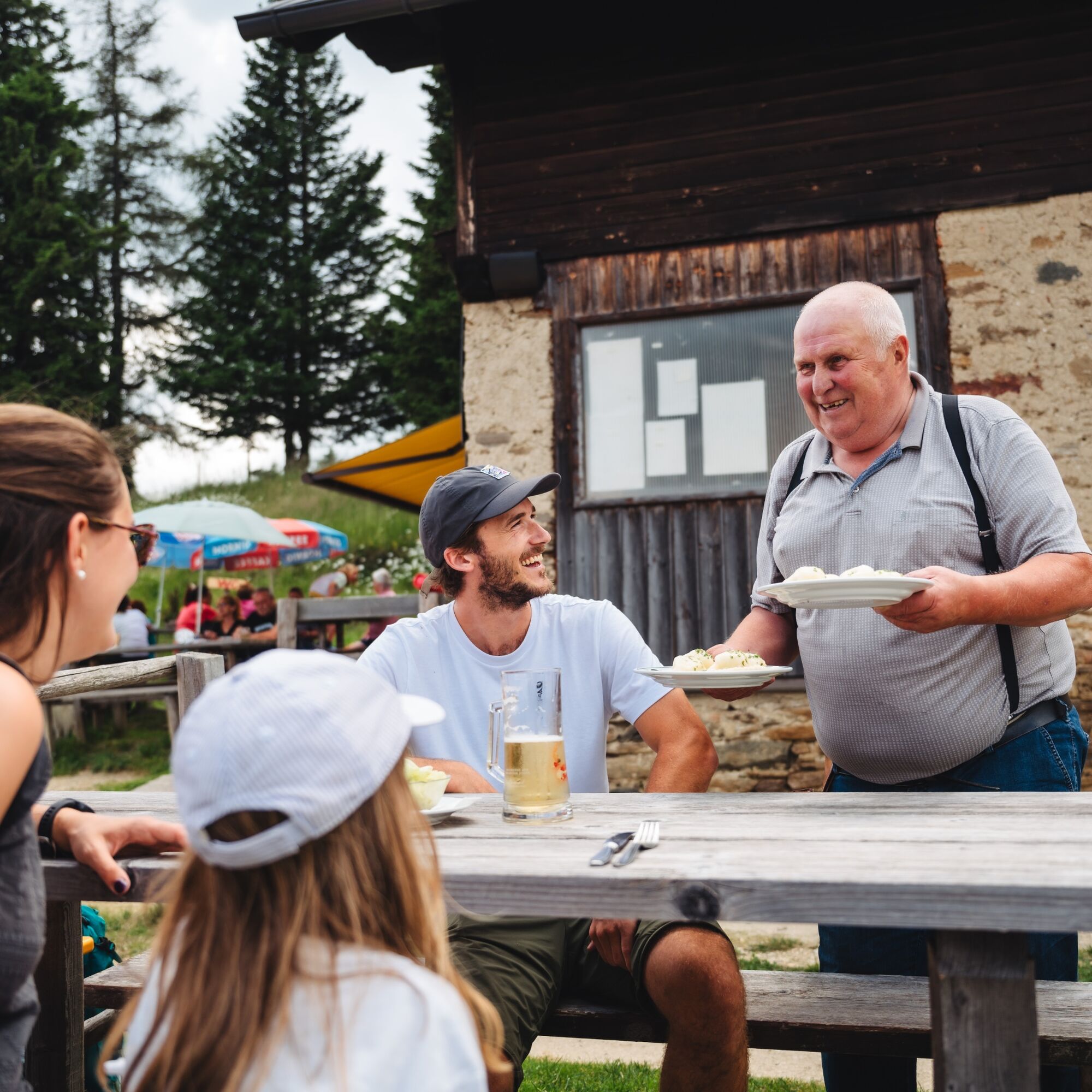
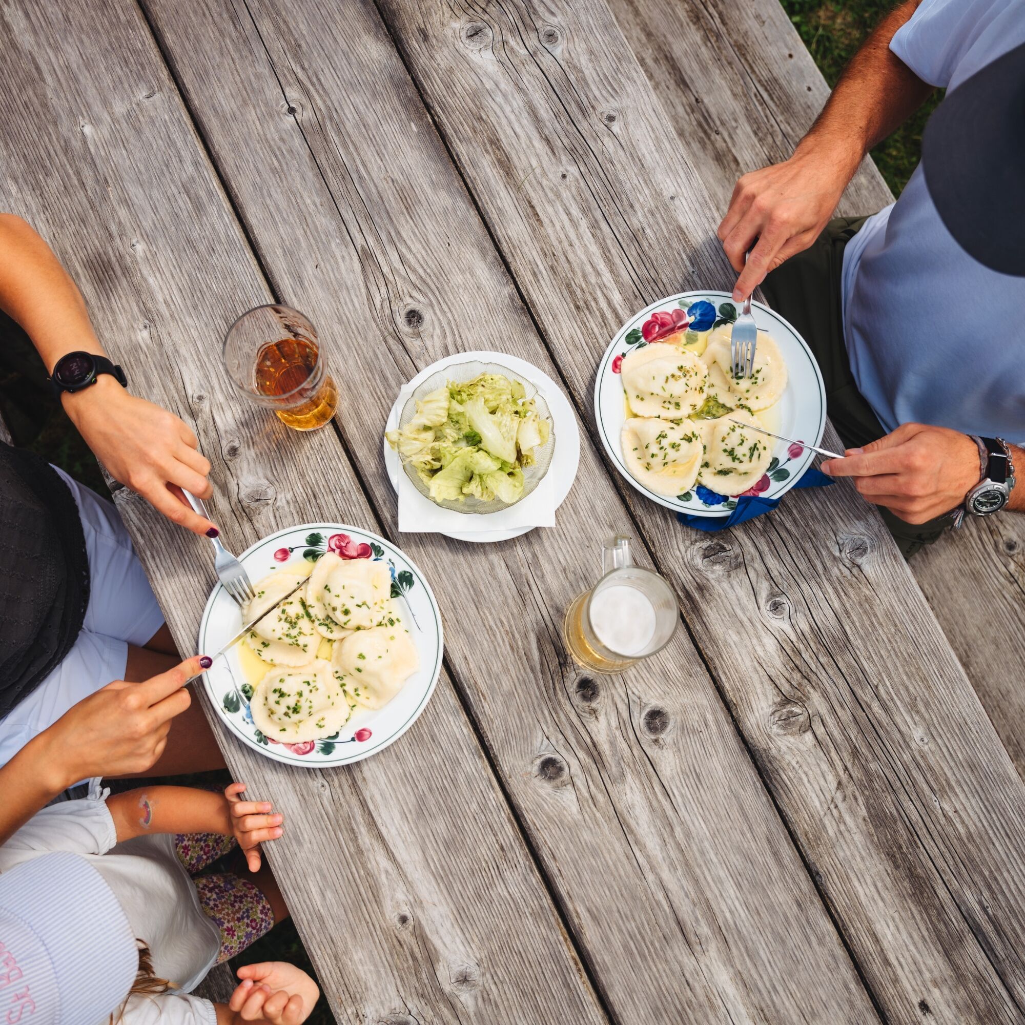
The mountain huts along the tour ensure culinary delights. The Saualpe, with its gentle mountain peaks and breathtaking panorama, is a true gem. The Saualpe hiking area offers unlimited possibilities. Untouched nature, flower meadows, magnificent views. Here you will find balance from everyday life. In beautiful natural surroundings, peace and relaxation can be experienced.
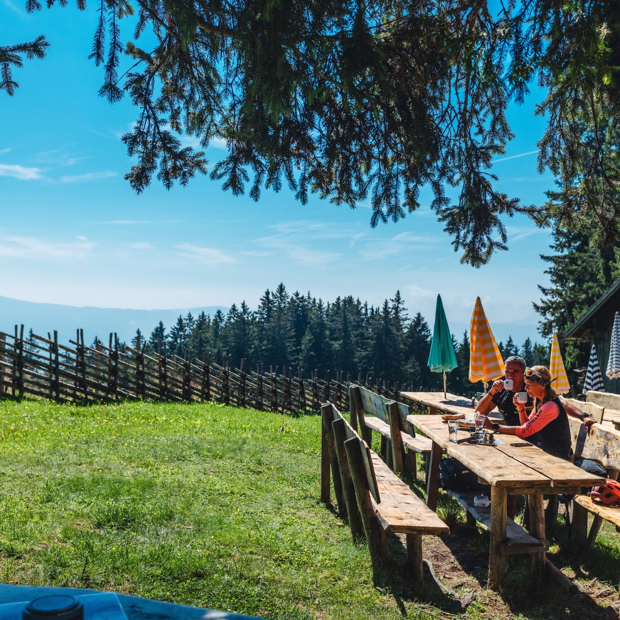
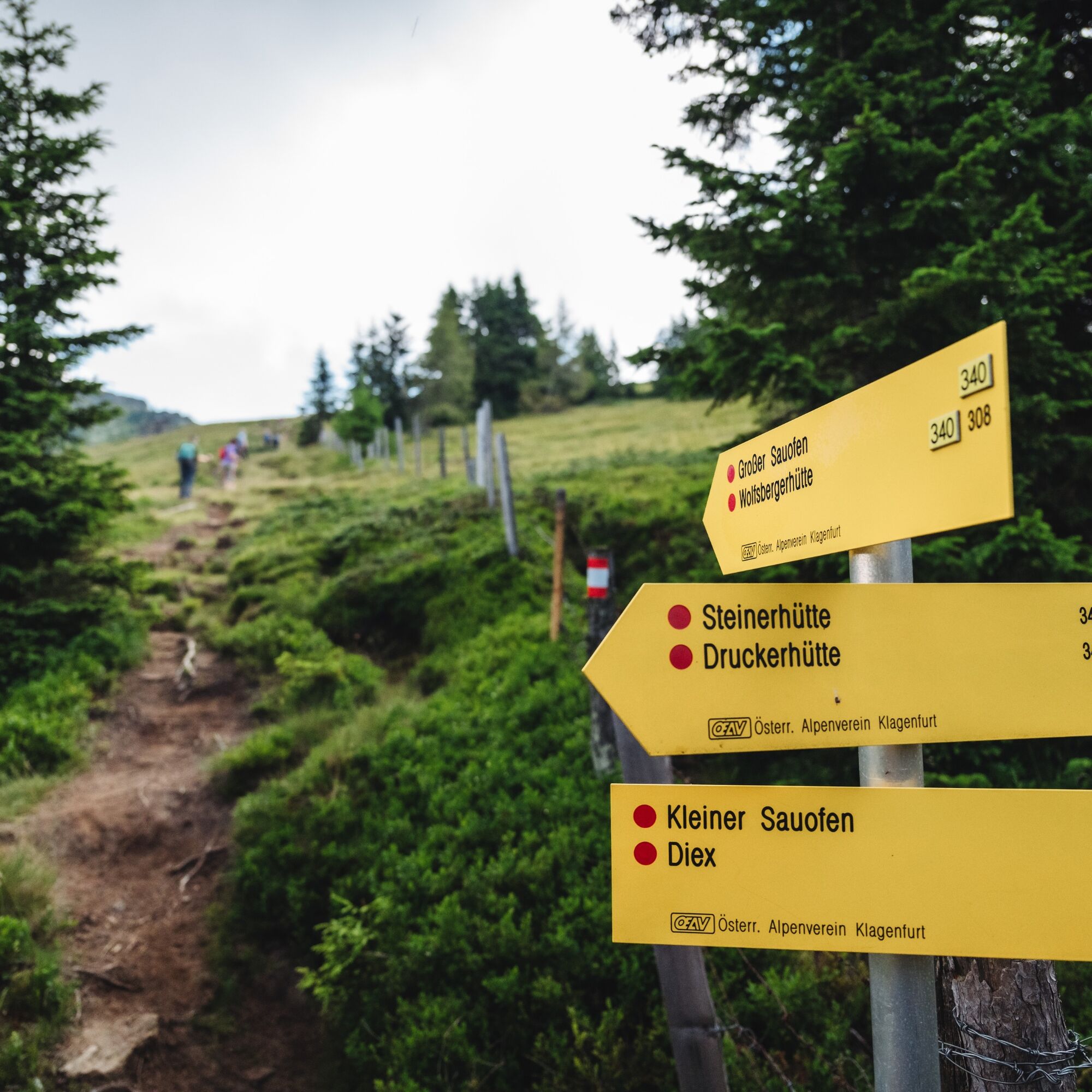
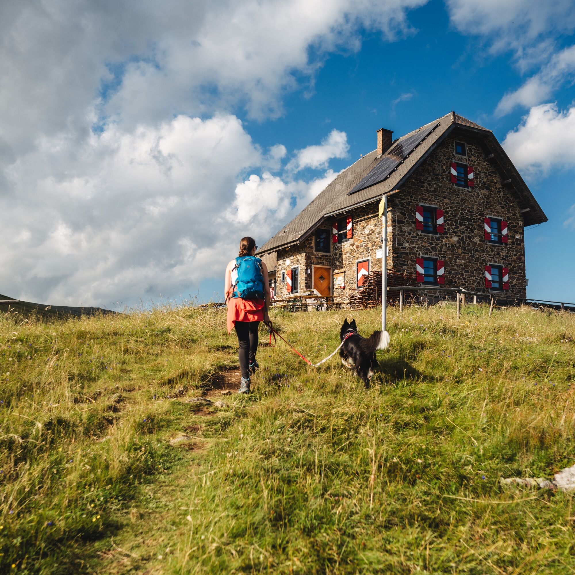
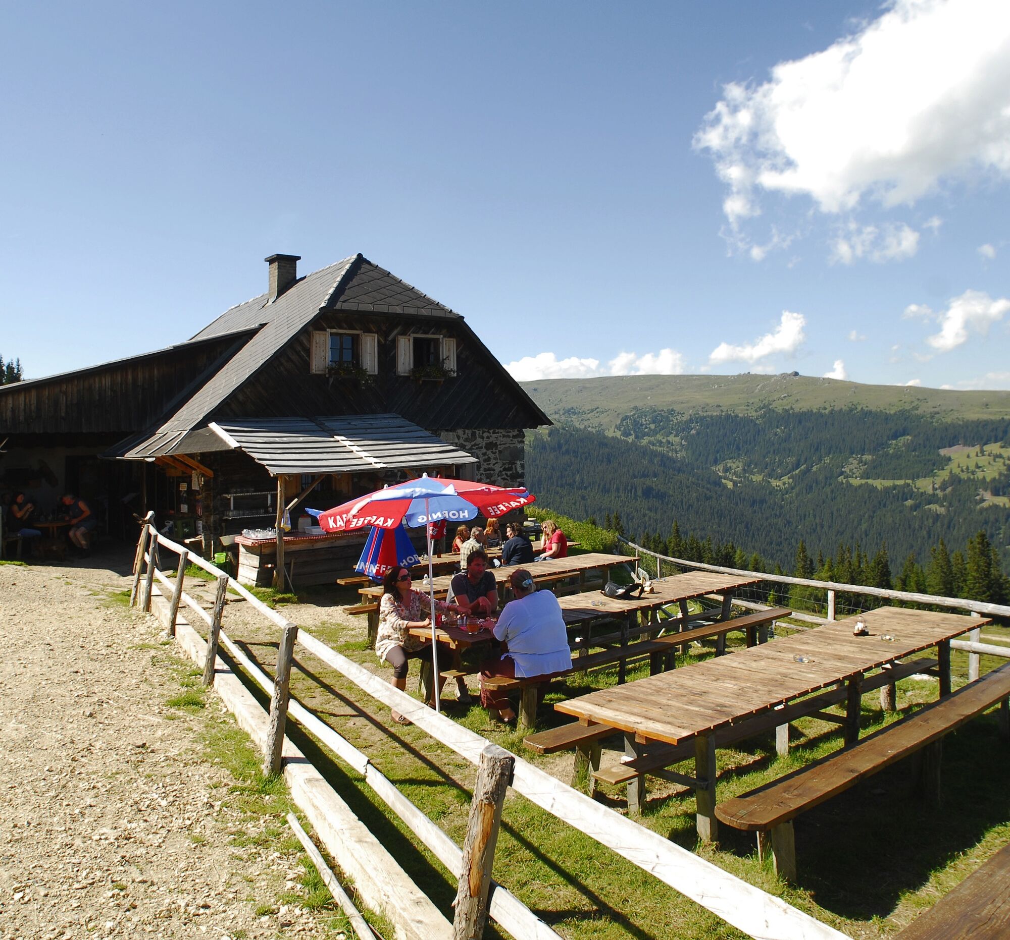
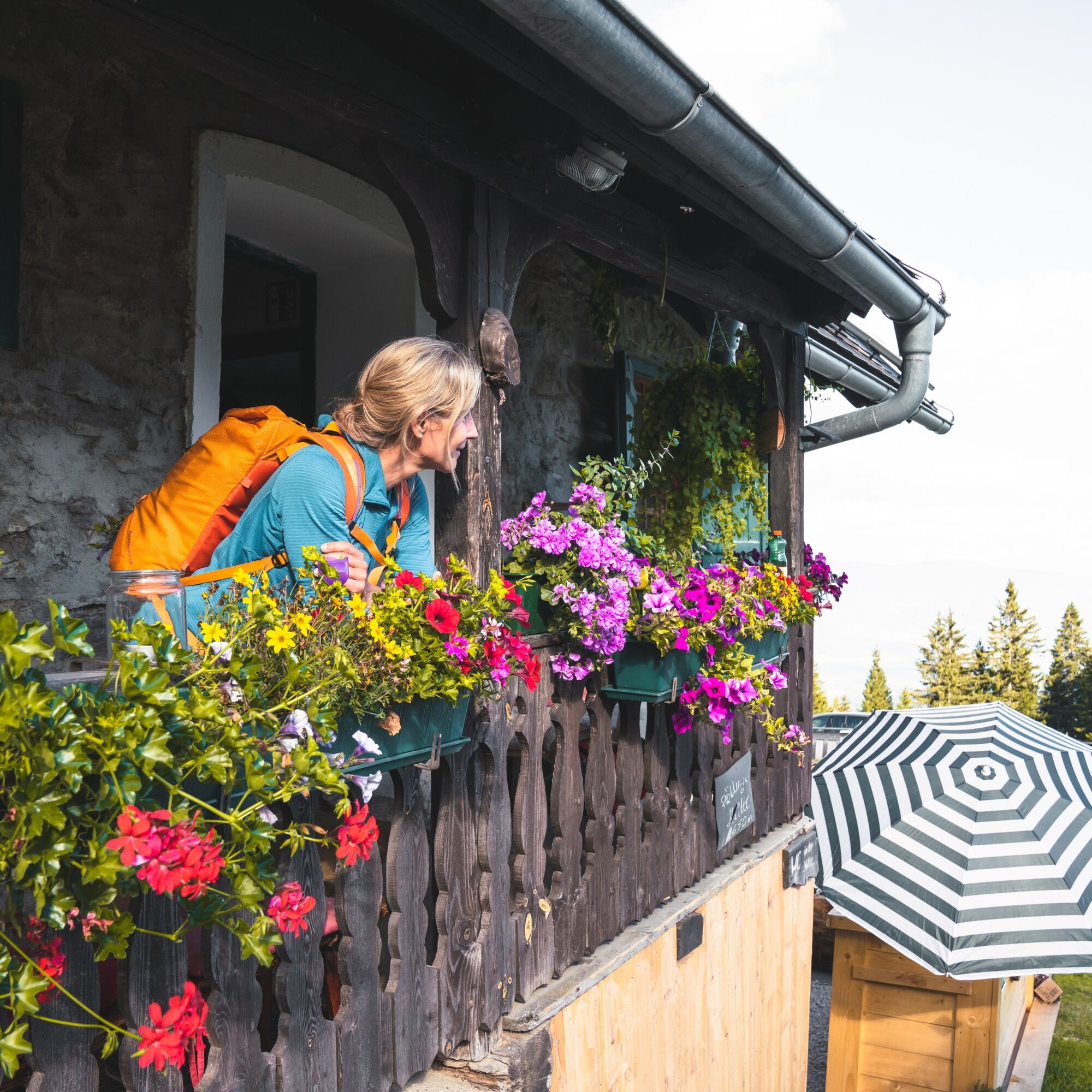
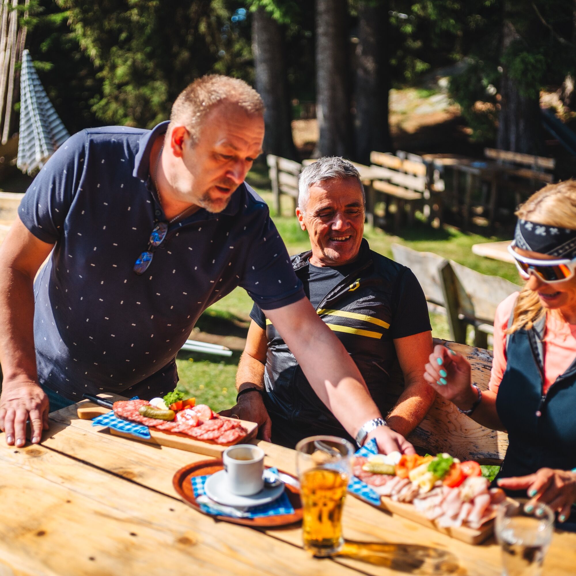
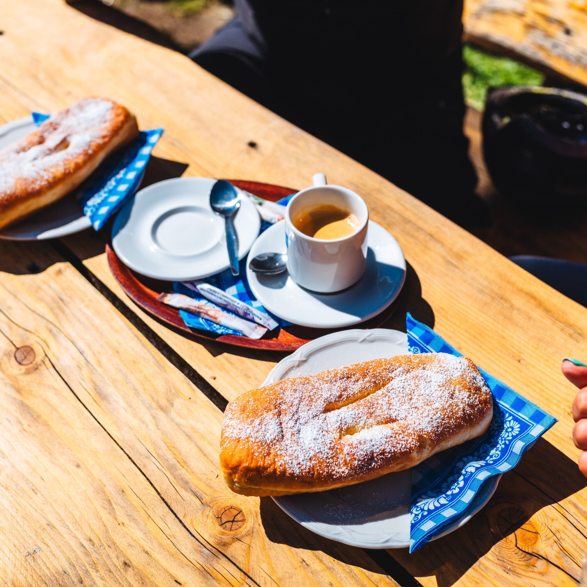

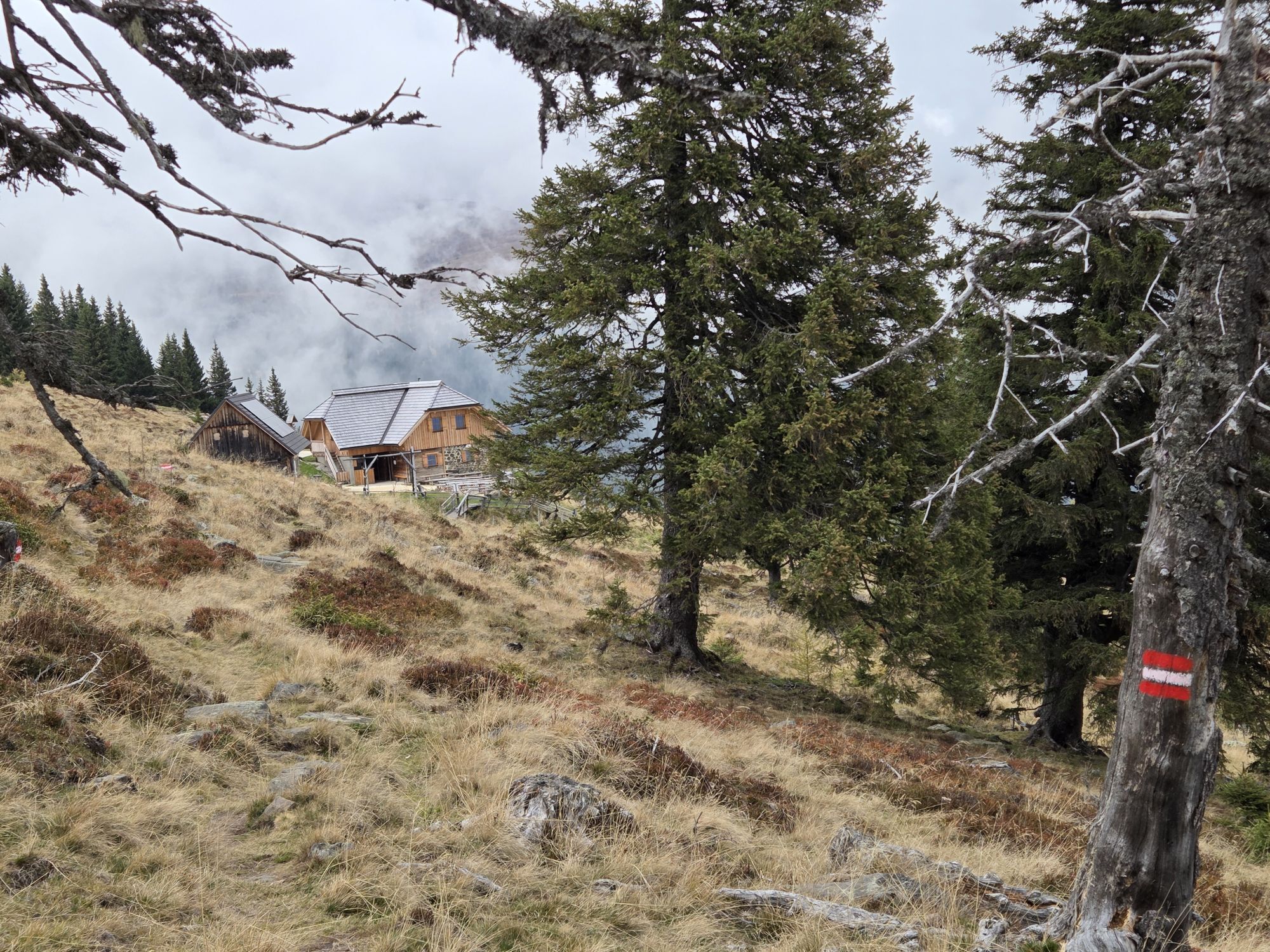
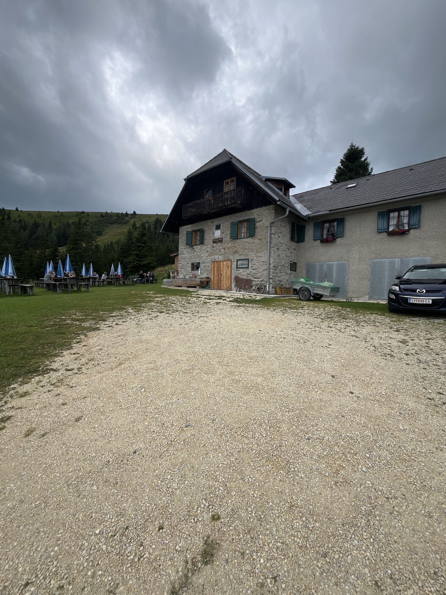
At the Zechhütte (start and end of the hut route), head southwest over forest and meadow paths to the unattended mountain hut Alpenrose. Then continue to the Reisberger Hut (trail no. 5b). After that, head northwest to the Pöllinger Hut with a walking time of about one hour.
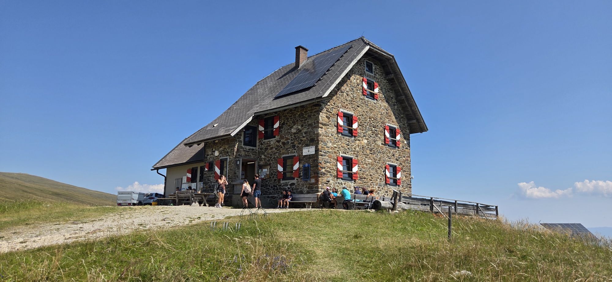
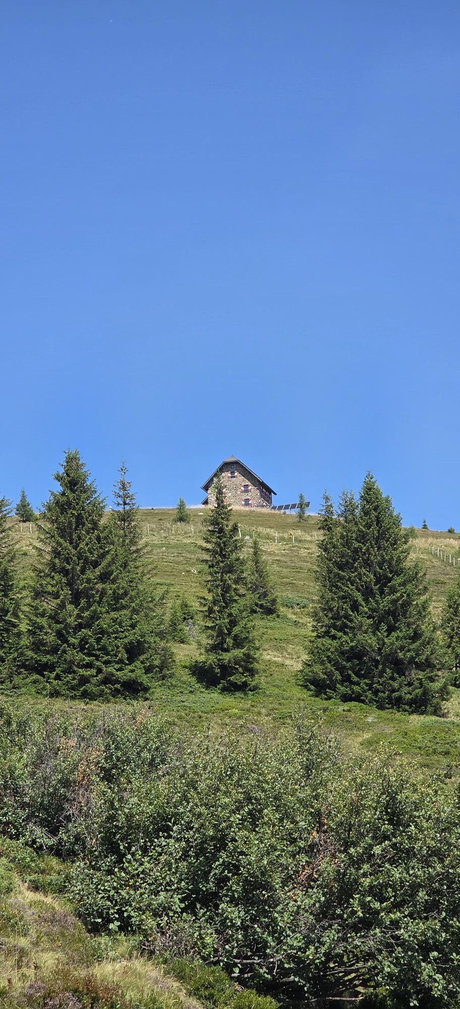
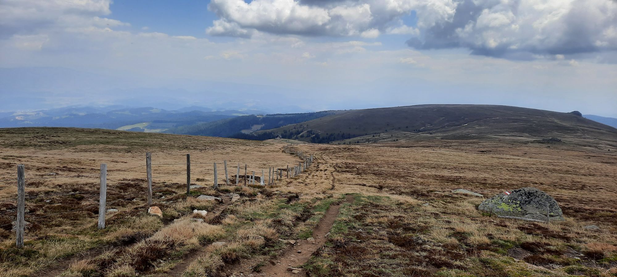
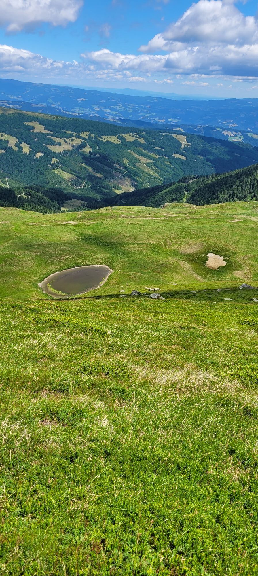
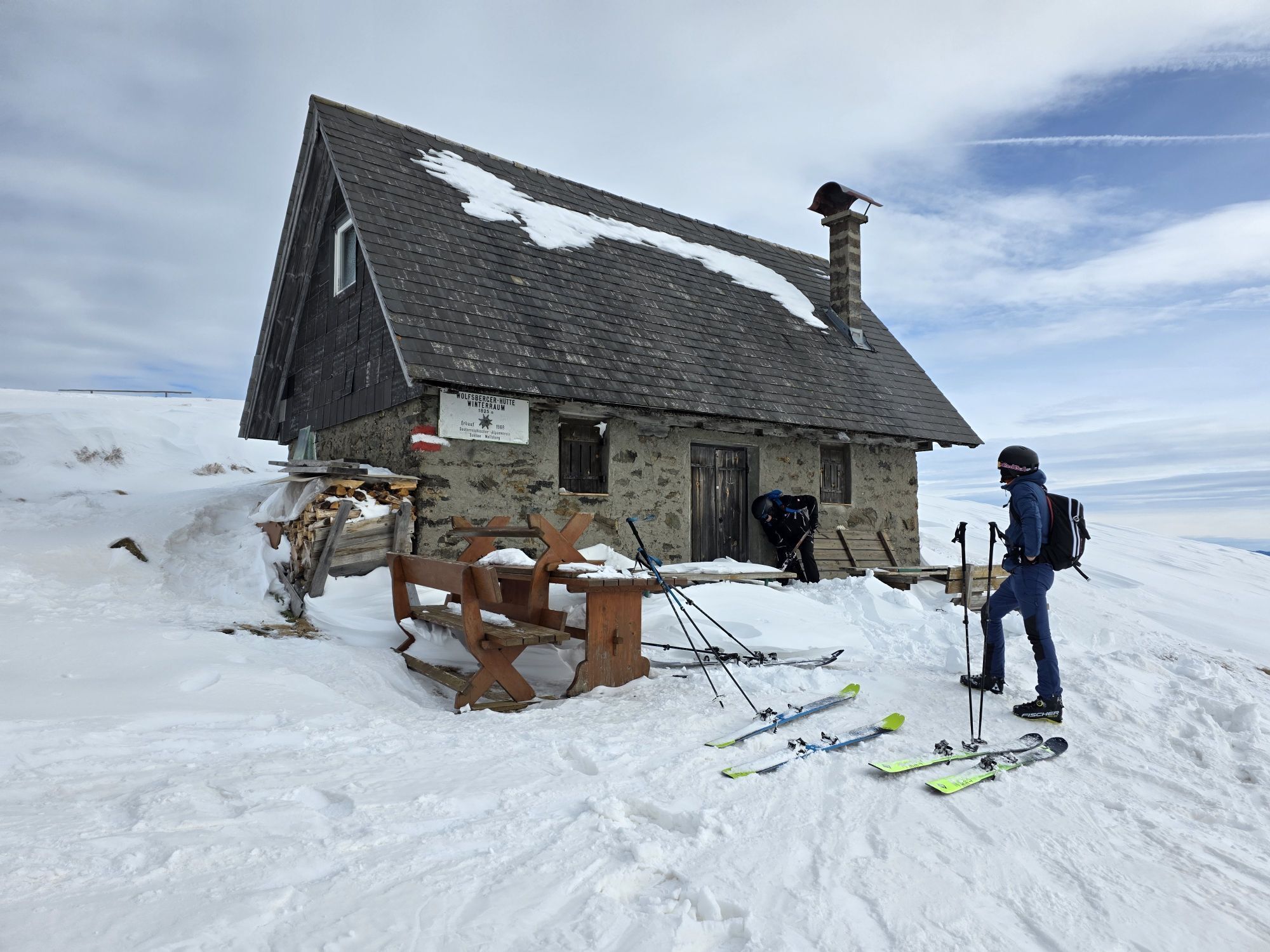
At the Pöllinger Hut, go uphill across the pasture, following the trail markers/signposts to the Wolfsberger Hut (trail no. 7, 5c, ÖAV 338). From the Wolfsberger Hut, continue over the Große Saualpe to the Ladinger Spitz, the highest point of the circular hike (trail no. 308). From here, descend past the Meeraugen (mountain lakes) to the Ladinger Hut, the easternmost point of the hiking tour (trail no. 5a). Continue west, past the "Ruprechtsfelsen" to the Offner Hut (trail no. 1d). The last section of this circular hike leads the hiker back to the starting point.
Tak
Tak
Breathable hardshell jacket, fleece or softshell jacket
Convertible hiking pants
Hiking boots
Backpack (approx. 35 liters)
Functional T-shirts
Sun headwear
Rain pants
Maps & route description
Water bottle or hydration pack
Trekking poles
Mobile phone & alpine emergency number
Sunglasses
First aid kit
Blister plasters
Small pocket knife
Sunscreen
Safety Instructions - 10 Recommendations of the ÖAV
As a nature sport, mountain hiking offers great opportunities for health, community, and experience. The following recommendations from alpine clubs aim to make mountain hikes as safe and enjoyable as possible.
1. Healthy into the mountains
Mountain hiking is an endurance sport. The positive stress on heart and circulation requires health and a realistic self-assessment. Avoid time pressure and choose a pace so that no one in the group is out of breath.
2. Careful planning
Hiking maps, guidebooks, the internet, and experts provide information about length, elevation difference, difficulty, and current conditions. Always tailor the route to the group! Pay special attention to the weather forecast, as rain, wind, and cold increase the risk of accidents.
3. Complete equipment
Adjust your equipment to your undertaking and pay attention to a low backpack weight. Rain, cold, and sun protection always belong in the backpack, as well as a first aid kit and mobile phone (European emergency number 112). Map or GPS support orientation.
4. Suitable footwear
Good hiking boots protect and relieve the foot and improve surefootedness! When choosing, pay attention to perfect fit, slip-resistant sole, waterproofing, and light weight.
5. Surefootedness is key
Falls due to slipping or tripping are the most common cause of accidents! Note that too high a pace or fatigue greatly impair your surefootedness and concentration. Beware of falling rocks: careful walking helps avoid dislodging stones.
6. Stay on marked trails
In terrain without trails, the risk of losing orientation, falling, and rockfall increases. Avoid shortcuts and return to the last known point if you lose the path. Often underestimated and very dangerous: steep old snowfields!
7. Regular breaks
Timely rests promote recovery, enjoyment of the landscape, and sociability. Eating and drinking are necessary to maintain performance and concentration. Isotonic drinks are ideal thirst quenchers. Muesli bars, dried fruit, and cookies satisfy hunger on the way.
8. Responsibility for children
Note that variety and playful discovery are paramount for children! In sections with risk of falling, an adult can only attend one child. Very exposed routes requiring prolonged concentration are not suitable for children.
9. Small groups
Small groups ensure flexibility and allow mutual help. Inform trusted persons about destination, route, and return. Stay together in the group. Beware solo hikers: even small incidents can lead to serious emergencies.
10. Respect for nature and environment
To protect mountain nature: do not leave waste, avoid noise, stay on trails, do not disturb wild and grazing animals, leave plants untouched, and respect protected areas. Use public transport or form carpooling for arrival.
A2 South Motorway - Wolfsberg South exit - towards St. Michael - Lading
see planning your arrival
Parking lot at the Zechhütte

 Uzyskaj wgląd
Zawsze na żywo z ponad 9 500 kamer internetowych. bergfex Jako użytkownik Pro, możesz teraz zobaczyć odpowiednie kamery internetowe dla wielu wycieczek w aplikacji wycieczki od. Pozwala to na bezpośredni podgląd aktualnych warunków.
Uzyskaj wgląd
Zawsze na żywo z ponad 9 500 kamer internetowych. bergfex Jako użytkownik Pro, możesz teraz zobaczyć odpowiednie kamery internetowe dla wielu wycieczek w aplikacji wycieczki od. Pozwala to na bezpośredni podgląd aktualnych warunków.
Popularne wycieczki w okolicy
-
4,5
Klippitztörl - Geierkogel loop trail no. G
średniWędrówka 6,79 km -
4,8
Steinerhütte-kl.+gr. Sauofen zum Gertrusk und zurück
światłoWędrówka 15,0 km -
4,1
Vom Klippitztörl auf die Forstalm mit Geierkogel und Steinerner Hochzeit.
średniWędrówka 10,5 km -
4,3
Certified hiking trail: Guttaring - Mariahilferweg - permanent IVV hiking trail
średniWędrówka 11,2 km -
4,5
Diex panorama trail
światłoWędrówka 12,1 km -
5,0
Weißbergerhütte - Gertrusk - Ladingerspitz
średniWędrówka 8,95 km -
4,8
Winter sun on the Saualm
światłoRakieta do chodzenia po śniegu 4,70 km -
4,7
Klippitztörl: Tour 6 - Geierkogeltour
średniRakieta do chodzenia po śniegu 6,80 km -
4,2
Saualpen ridge – Speikkogel, Großer and Kleiner Sauofen
średniWędrówka 10,8 km -
4,0
Klippitztörl: circular hike
średniWędrówka 10,1 km
Wędrówki i tropienie


Nie przegap ofert i inspiracji na następne wakacje
Twój adres e-mail została dodana do listy mailingowej.





