


Bad St. Leonhard: L5 hike Kliening - Sauerbrun
Zdjęcia naszych użytkowników
-
 © Franz Scharf 4Utworzono dnia 13.02.2025
 -
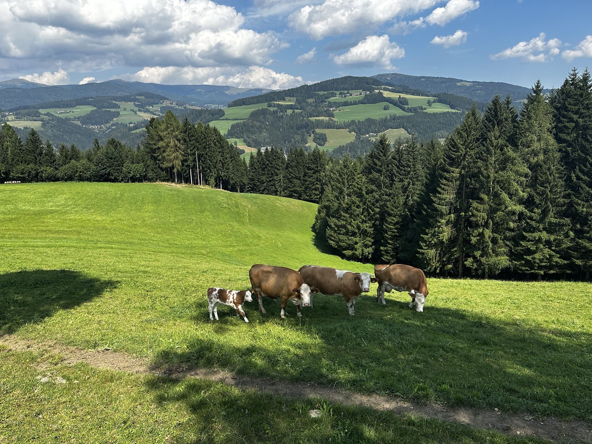
 © Andreas PechUtworzono dnia 15.08.2024
 -
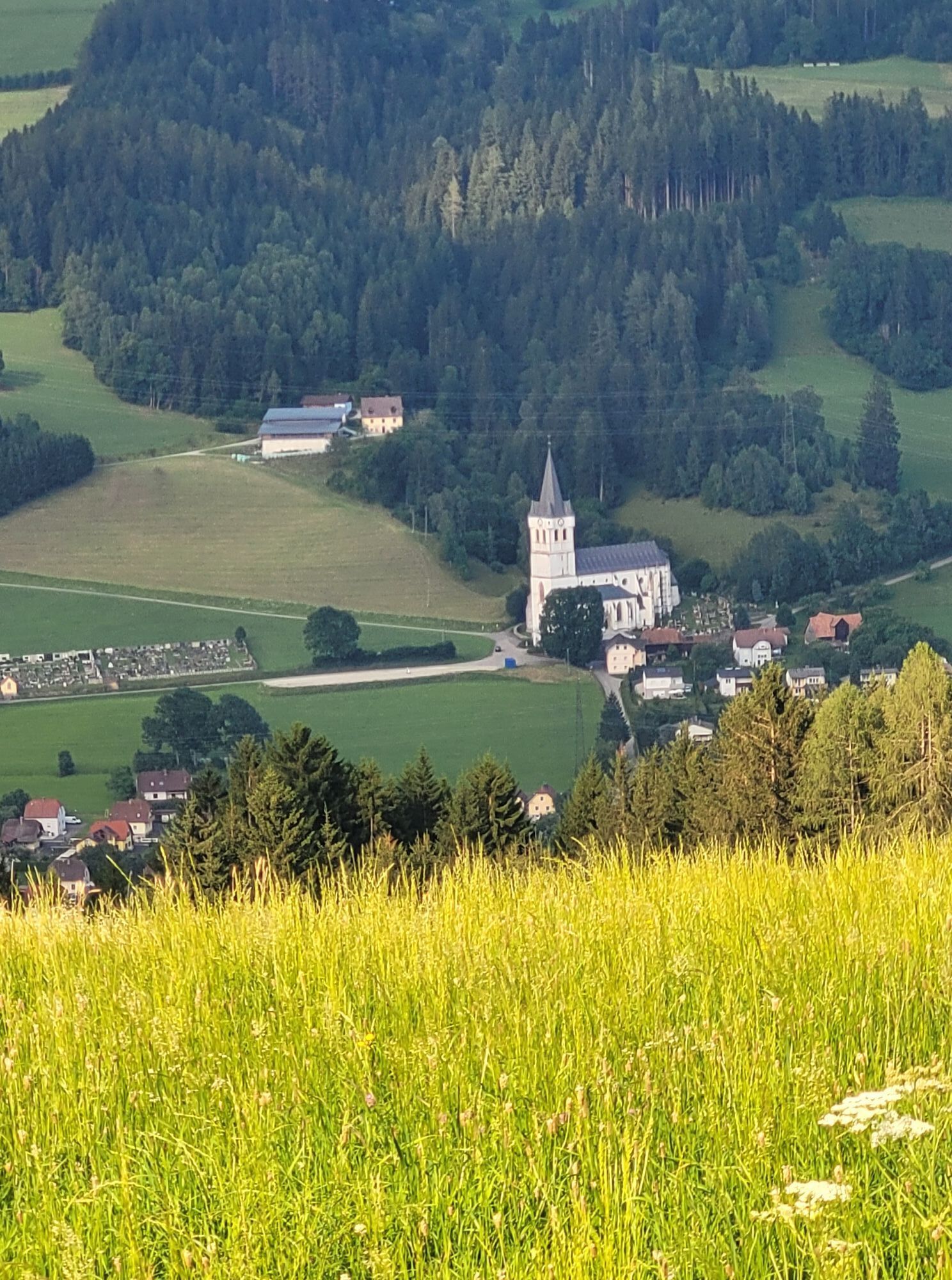
 © Andreas PechUtworzono dnia 15.08.2024
 -
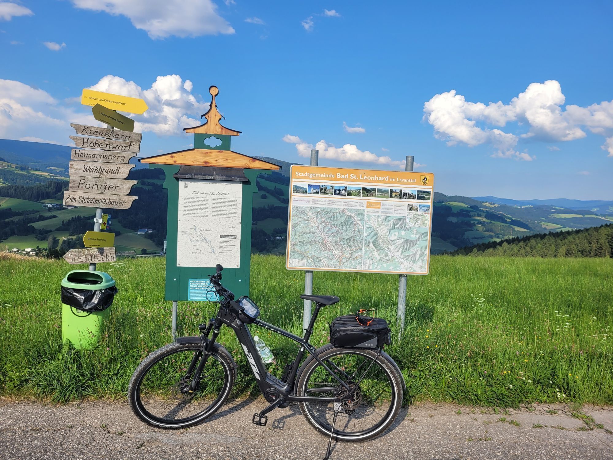
 © Andreas PechUtworzono dnia 15.08.2024
 -
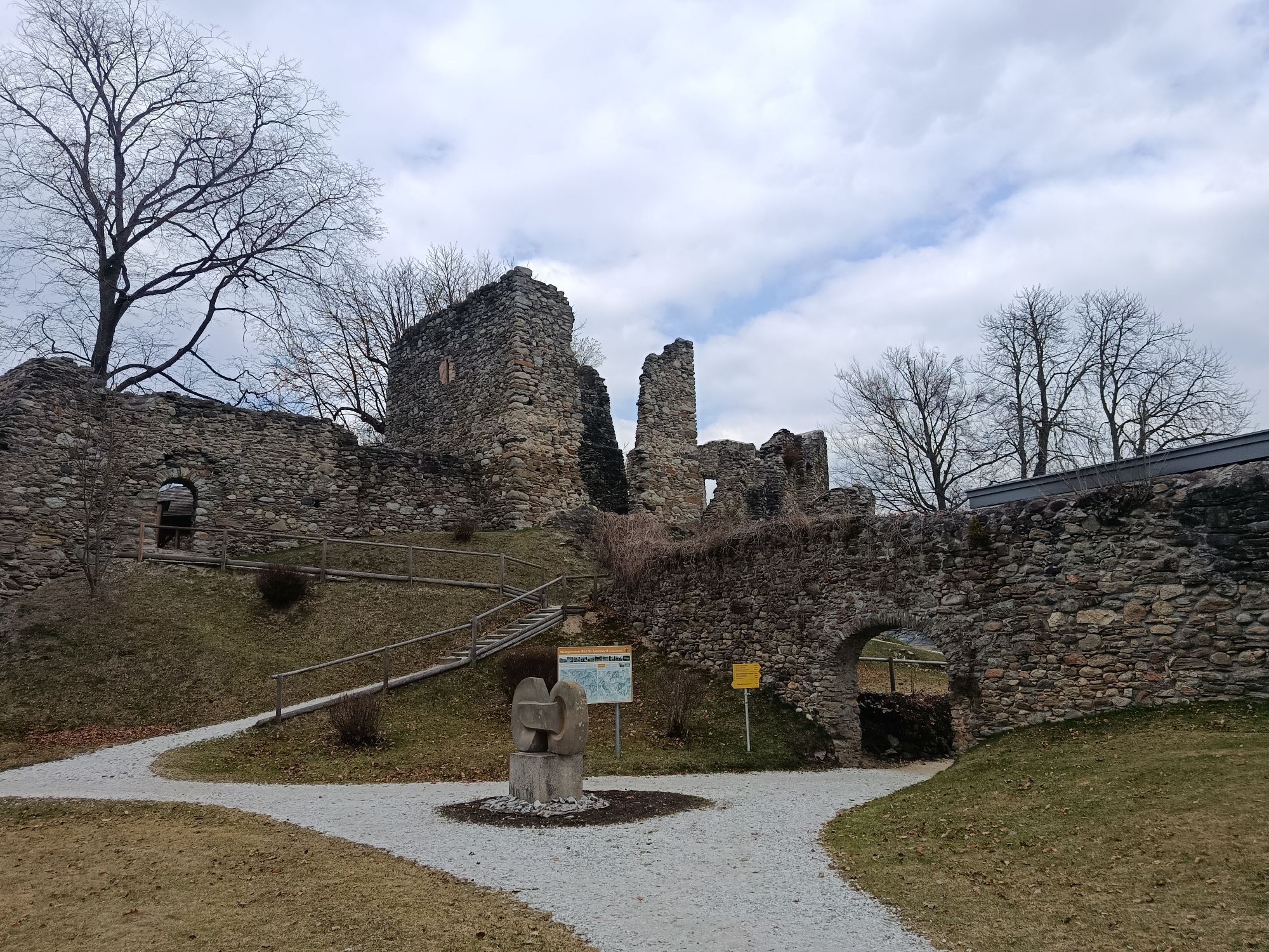
 © Andreas PechUtworzono dnia 15.08.2024
 -
 © Franz Scharf 4Utworzono dnia 16.07.2024
 -
 © Franz Scharf 4Utworzono dnia 16.07.2024
 -
 © Franz Scharf 4Utworzono dnia 16.07.2024
 -
 © Bekesiapor2005Utworzono dnia 20.03.2026
 -
 © Franz Scharf 4Utworzono dnia 28.05.2025
 -
 © Franz Scharf 4Utworzono dnia 28.05.2025


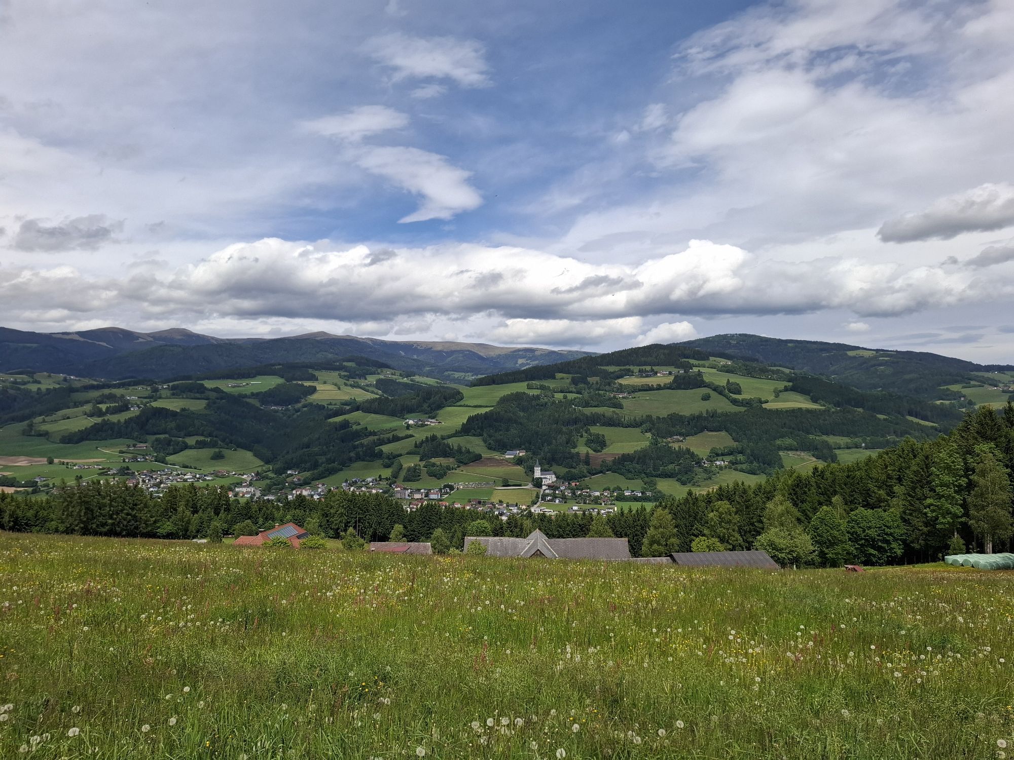
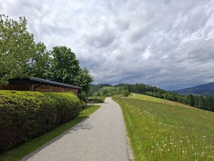
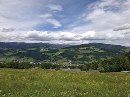
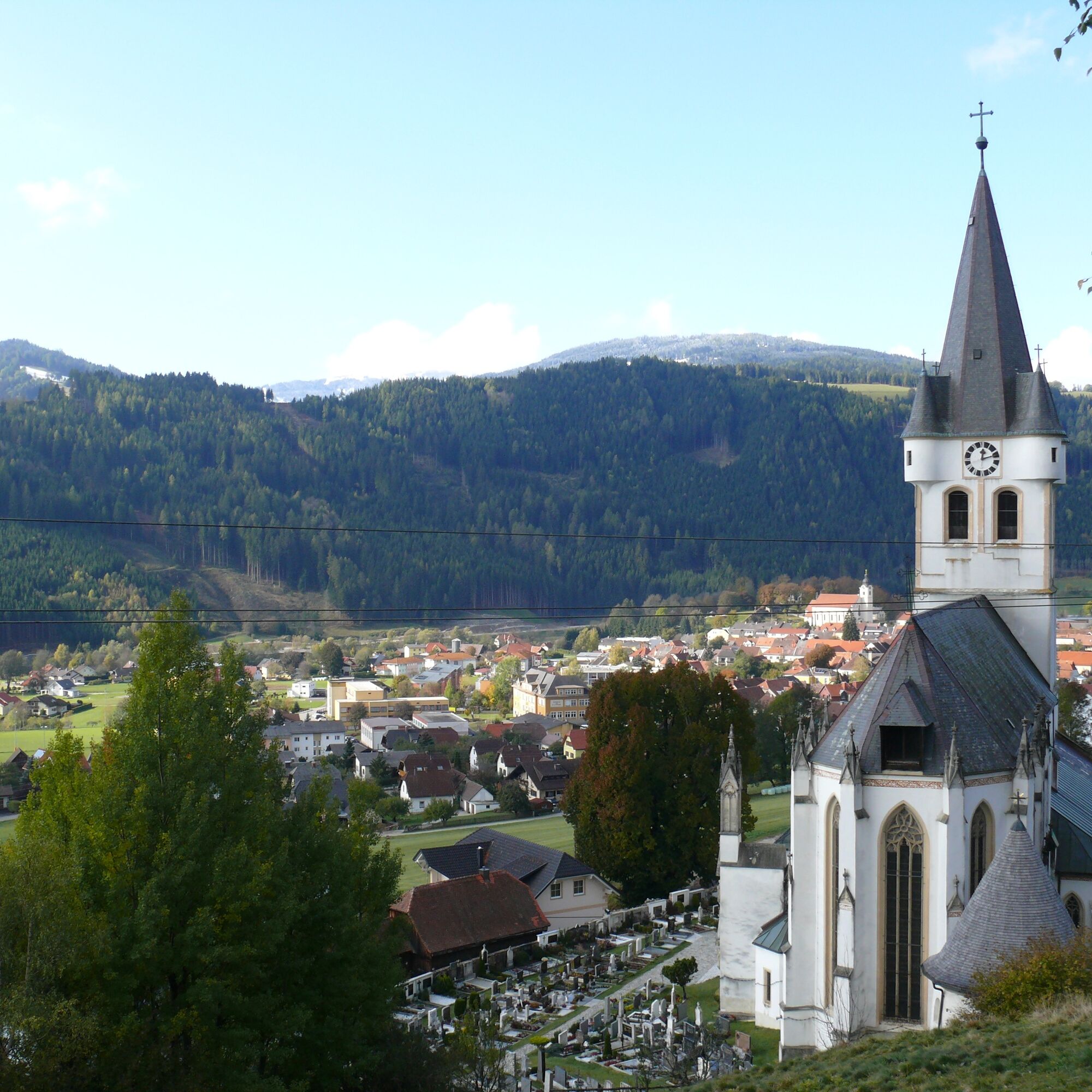
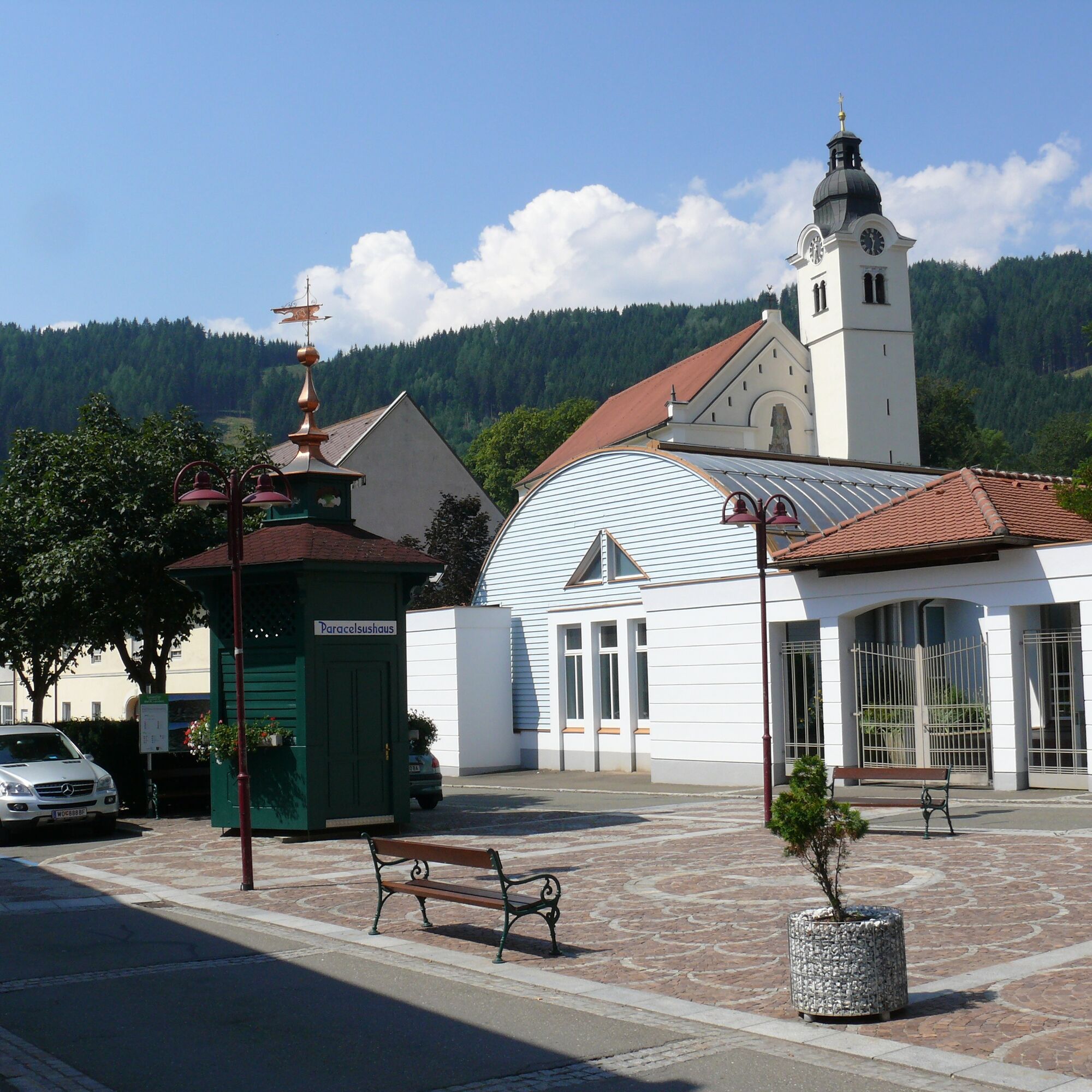
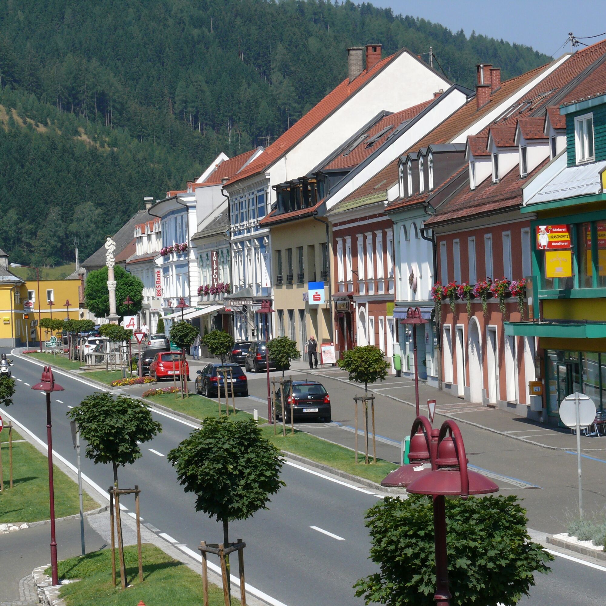
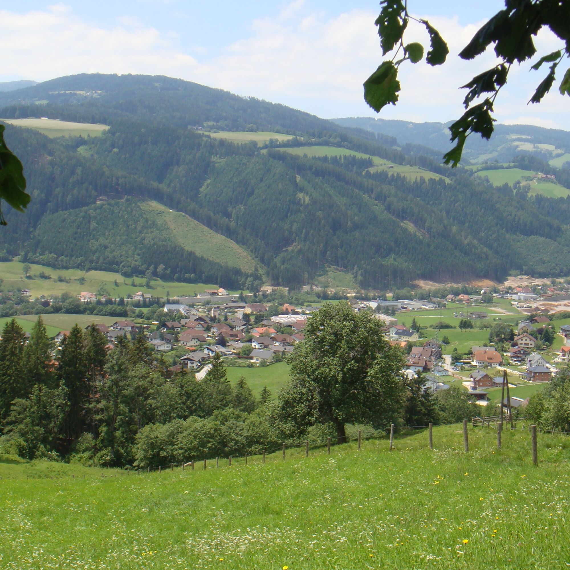
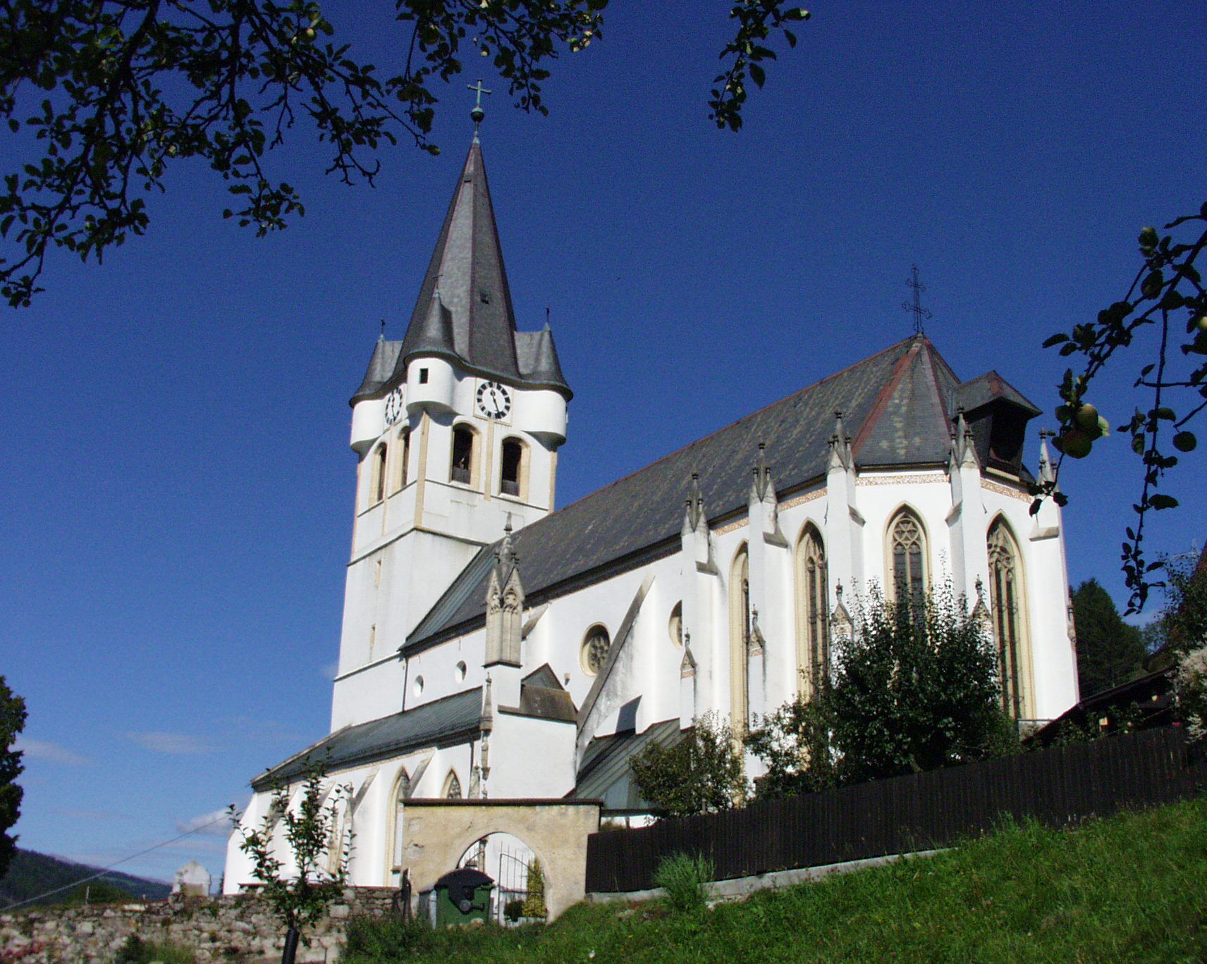
The start and end point of the round route is Schlossberg in the center of Bad St. Leonhard. You hike towards the health resort, continue on the Kohlweg until you reach the highest point of this route,...
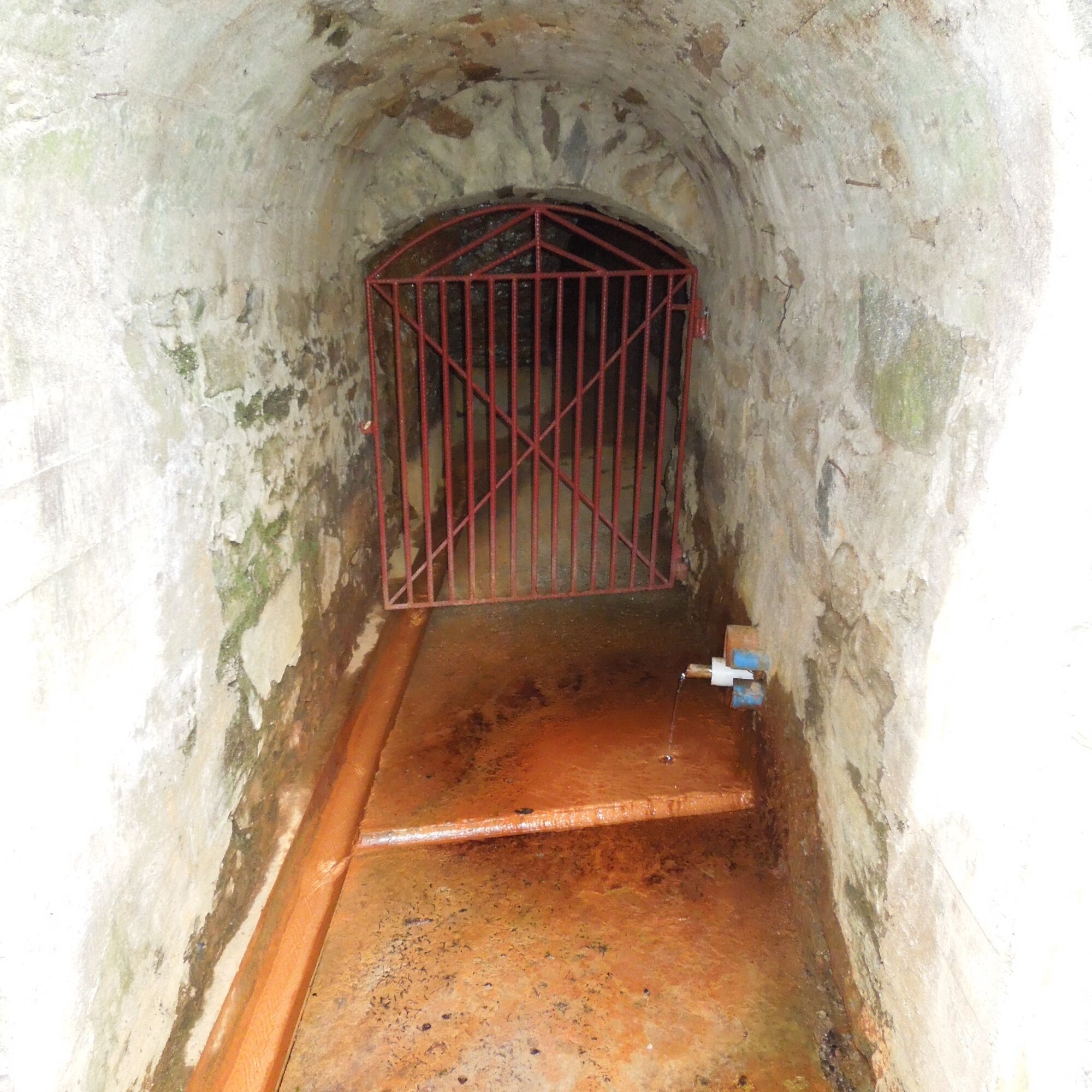
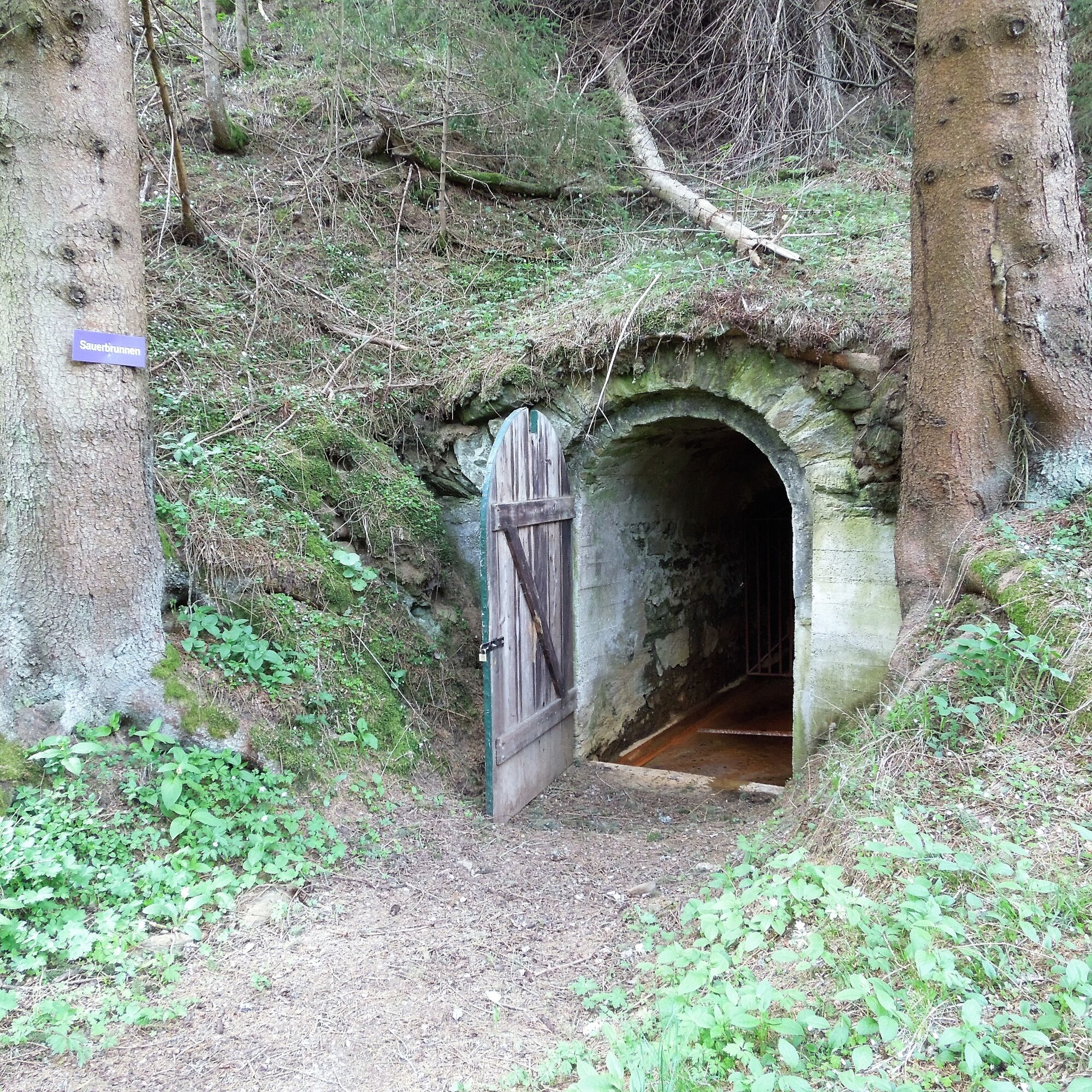
The start and end point of the round route is Schlossberg in the center of Bad St. Leonhard. You hike towards the health resort, continue on the Kohlweg until you reach the highest point of this route, the Hermannsberg. After a rest in the beautiful wellness and adventure hotel Moselebauer, it goes downhill to the small village of Kliening and the small well house or the spring intake of the Kliening Sauerbrunn. Some time ago the spring was secured, diverted, and is now accessible to everyone in the front part of a disused mining tunnel. After a drinking break, it goes back up to Hermannsberg, further via the Bischofweg (nickname Bischof) and the recreation area (Weihbrunnweg) back to Bad St. Leonhard.
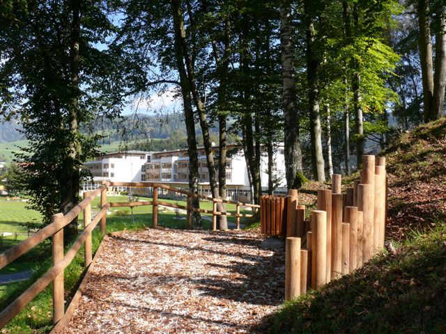
Schlossberg - Kohlweg - Moselebauer - Kliening (Sauerbrunn) - Moselebauer - vlg. Bischof - Bischofweg - Weibrunnweg - (recreation area) - Schlossberg
Tak
Tak
For this route, good footwear and a small backpack with the essentials are sufficient.
Safe Hiking
10 recommendations from the Alpine Club
As a nature sport, mountain hiking offers great opportunities for health, community, and experience. The following recommendations from alpine clubs aim to make hikes as safe and enjoyable as possible.
1. Healthy to the mountains
Mountain hiking is endurance sport. The positive physical effects on heart and circulation require good health and realistic self-assessment. Avoid time pressure and choose a pace so that no one in the group runs out of breath.
2. Careful planning
Hiking maps, guidebooks, the internet, and experts inform about length, elevation, difficulty, and current conditions. Always adapt routes to the group!
Especially pay attention to the weather forecast, as rain, wind, and cold increase the risk of accidents.
3. Complete equipment
Adjust your equipment to your activity and ensure low backpack weight. Rain, cold, and sun protection always belong in the backpack, as well as a first aid kit and mobile phone (European emergency number 112). Map or GPS support orientation.
4. Suitable footwear
Good hiking boots protect and relieve the foot and improve surefootedness! Pay attention to perfect fit, slip-resistant sole, waterproofing, and low weight when choosing.
5. Surefootedness is key
Falls due to slipping or tripping are the most common cause of accidents! Note that too high a pace or tiredness strongly impair surefootedness and concentration. Beware of falling rocks: Careful walking prevents stones from being dislodged.
6. Stay on marked paths
In pathless terrain, the risk of losing orientation, falling, and rockfall increases. Avoid shortcuts and return to the last known point if you stray from the path. Often underestimated and very dangerous: Steep old snowfields!
7. Regular breaks
Timely rest serves recovery, enjoyment of the landscape, and socializing. Eating and drinking are necessary to maintain performance and concentration. Isotonic drinks are ideal thirst quenchers. Muesli bars, dried fruit, and cookies satisfy hunger on the way.
8. Responsibility for children
Note that variety and playful discovery are the focus for children! In sections with risk of falling, one adult can only supervise one child. Very exposed routes requiring long-lasting concentration are not suitable for children.
9. Small groups
Small groups ensure flexibility and enable mutual help. Inform trusted persons about destination, route, and return. Stay together in the group. Attention solo hikers: Even small incidents can lead to serious emergencies.
10. Respect for nature and environment
To protect mountain nature: Do not leave any waste, avoid noise, stay on paths, do not disturb wild and grazing animals, leave plants untouched, and respect protected areas. Use public transport or form car pools for the journey.
(Source: Austrian Alpine Club, 2014)
A2 South motorway, exit Bad St Leonhard - turn right at the junction onto Obdacher Landesstraße (signpost Bad St. Leonhard, approx. 4 km)
Parking possibilities in the town of Bad St. Leonhard.
Do you know the six spring routes in Bad St. Leonhard?
The springs and wells of Upper Lavanttal are well known far beyond the region. The Preblauer water, a mineral water valued since the Middle Ages, is one of the best drinking and healing waters in Europe.
You can find the spring routes at
https://regio.outdooractive.com/oar-lavanttal/de/touren/#area=1025851&cat=Themenweg&ov=hiking&view=gallery&wt=Bad%20Sankt%20Leonhard%20im%20Lavanttal%20(Gemeinde)%0A1025851&zc=11,14.66494,46.97254
Aktywności na trasie
-

Bad Sankt Leonhard im Lavanttal, Kärnten/Österreich
12.04.2026 – Wędrówka -

Bad Sankt Leonhard im Lavanttal, Kärnten/Österreich
06.01.2026 – Wędrówka -
Bad Sankt Leonhard im Lavanttal, Kärnten/Österreich
06.01.2026 – Wędrówka -
Bad Sankt Leonhard im Lavanttal, Kärnten/Österreich
06.01.2026 – Wędrówka -
Bad Sankt Leonhard im Lavanttal, Kärnten/Österreich
11.10.2025 – Wędrówka
Popularne wycieczki w okolicy
-
4,3
Klippitztörl - Geierkogel loop trail no. G
średniWędrówka 6,79 km -
4,6
Salzstieglhaus - Speikkogel - Peterer Riegel
średniWędrówka 11,2 km -
4,5
Vom Salzstiegl auf den Ameringkogel
średniWędrówka 14,2 km -
4,1
Vom Klippitztörl auf die Forstalm mit Geierkogel und Steinerner Hochzeit.
średniWędrówka 10,5 km -
4,2
5-Almhüttenwanderung
światłoWędrówka 14,3 km -
4,2
3-Almhüttenwanderung
światłoWędrówka 8,31 km -
3,6
Größenberg / Größing von der Weißensteinhütte
średniWędrówka 8,35 km -
3,5
Ameringkogel 2.187m, Größing 2.152m, Hofalmkogel 2.040m & Speikkogel 1.993 auf der Packalpe
światłoWędrówka zimą 16,3 km -
5,0
Klippitztörl: Tour 6 - Geierkogeltour
średniRakieta do chodzenia po śniegu 6,80 km -
4,0
Seinerkreuz und Saureishütte
Wędrówka 12 km

Wędrówki i tropienie


Nie przegap ofert i inspiracji na następne wakacje
Twój adres e-mail została dodana do listy mailingowej.