






Rhine Gorge/Ruinaulta: Trans Ruinaulta 656
Poziom trudności: T2
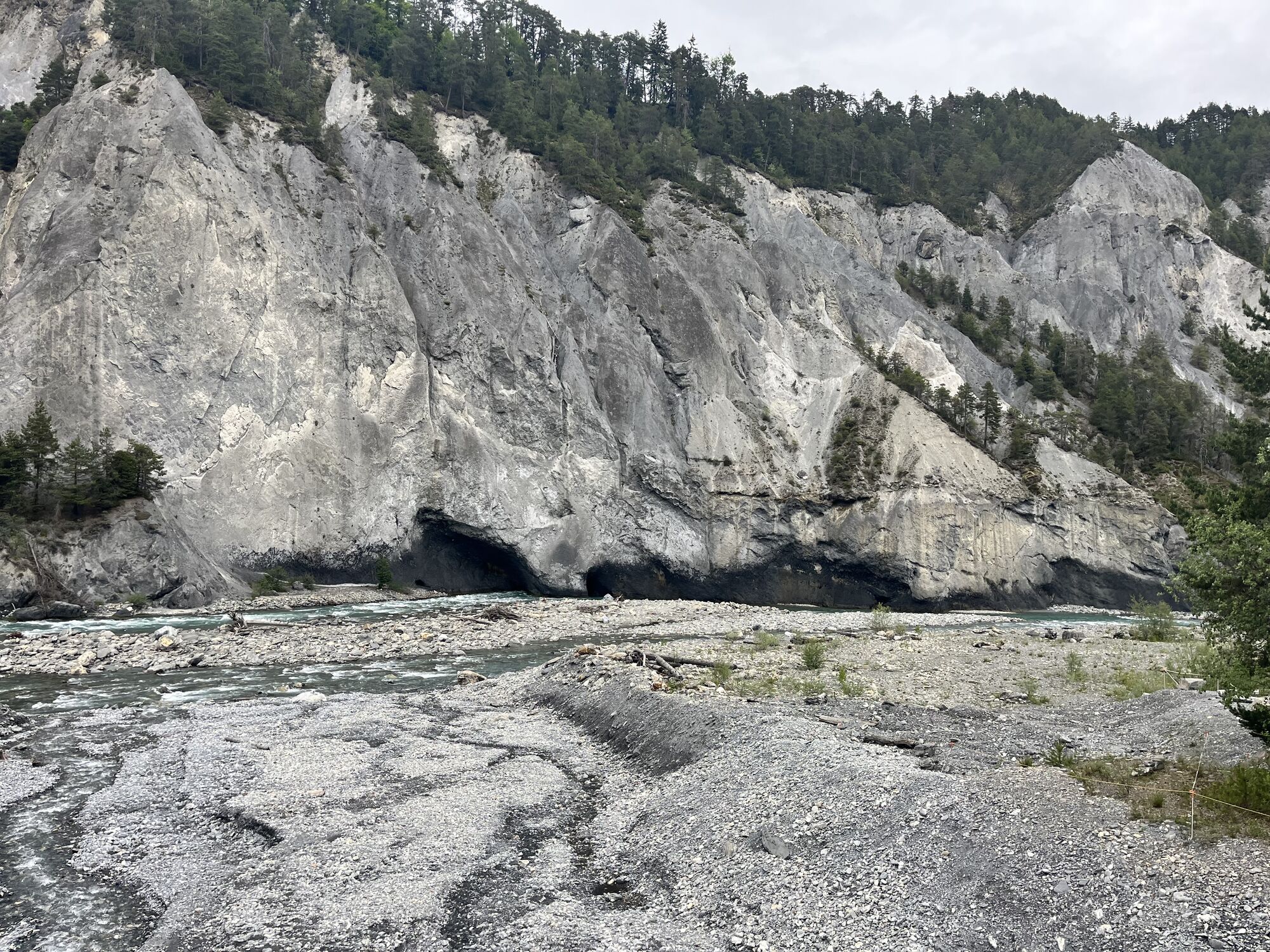
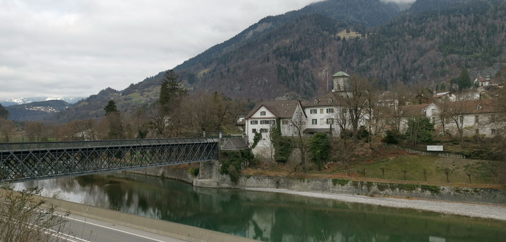
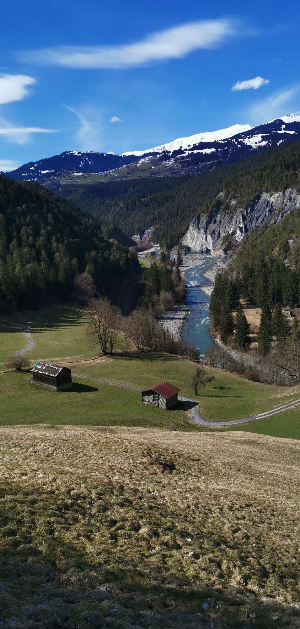
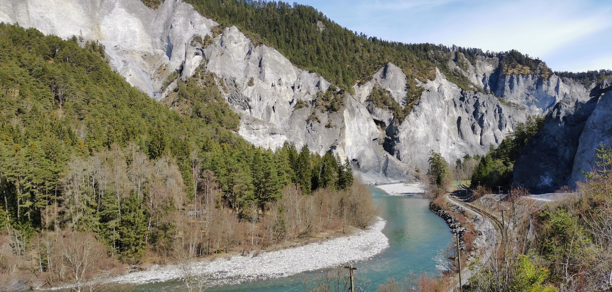

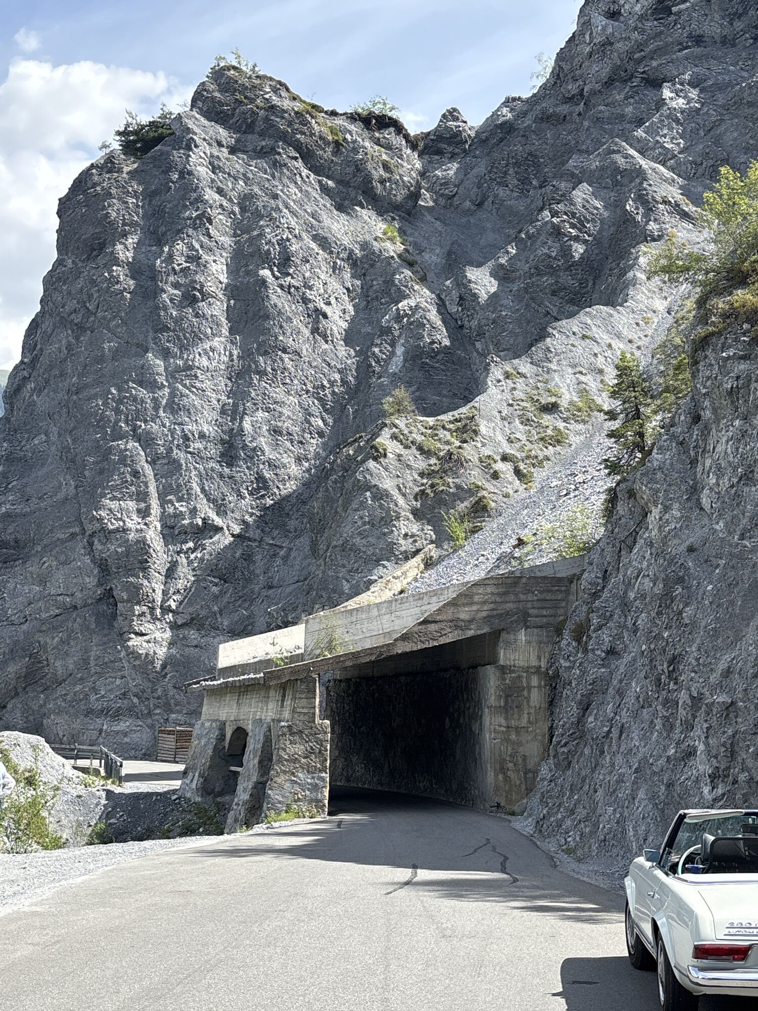
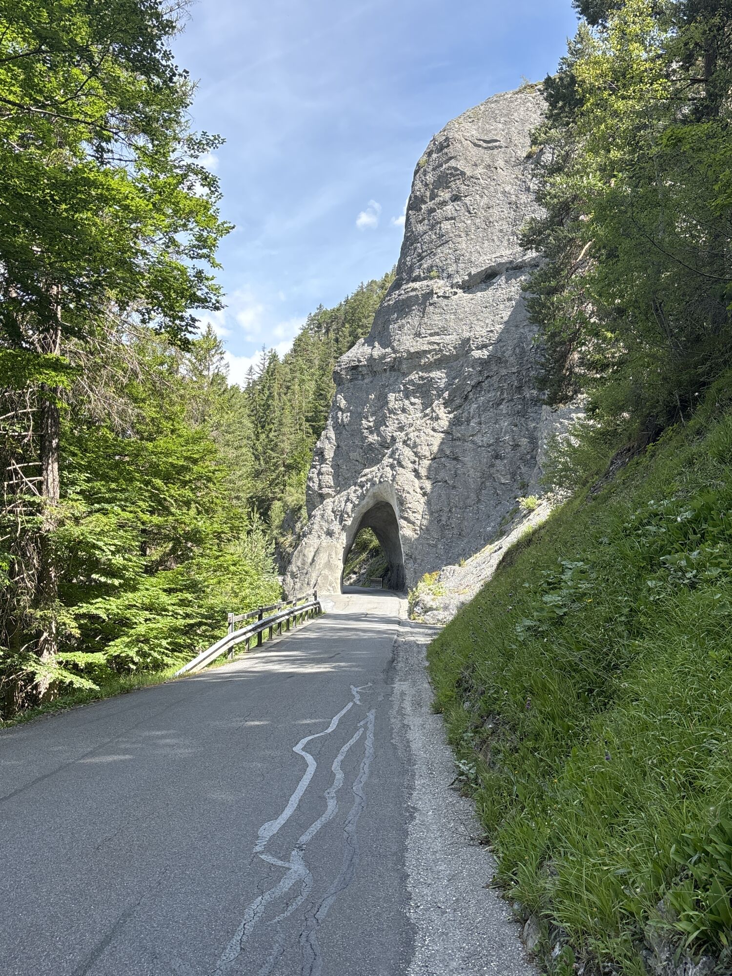
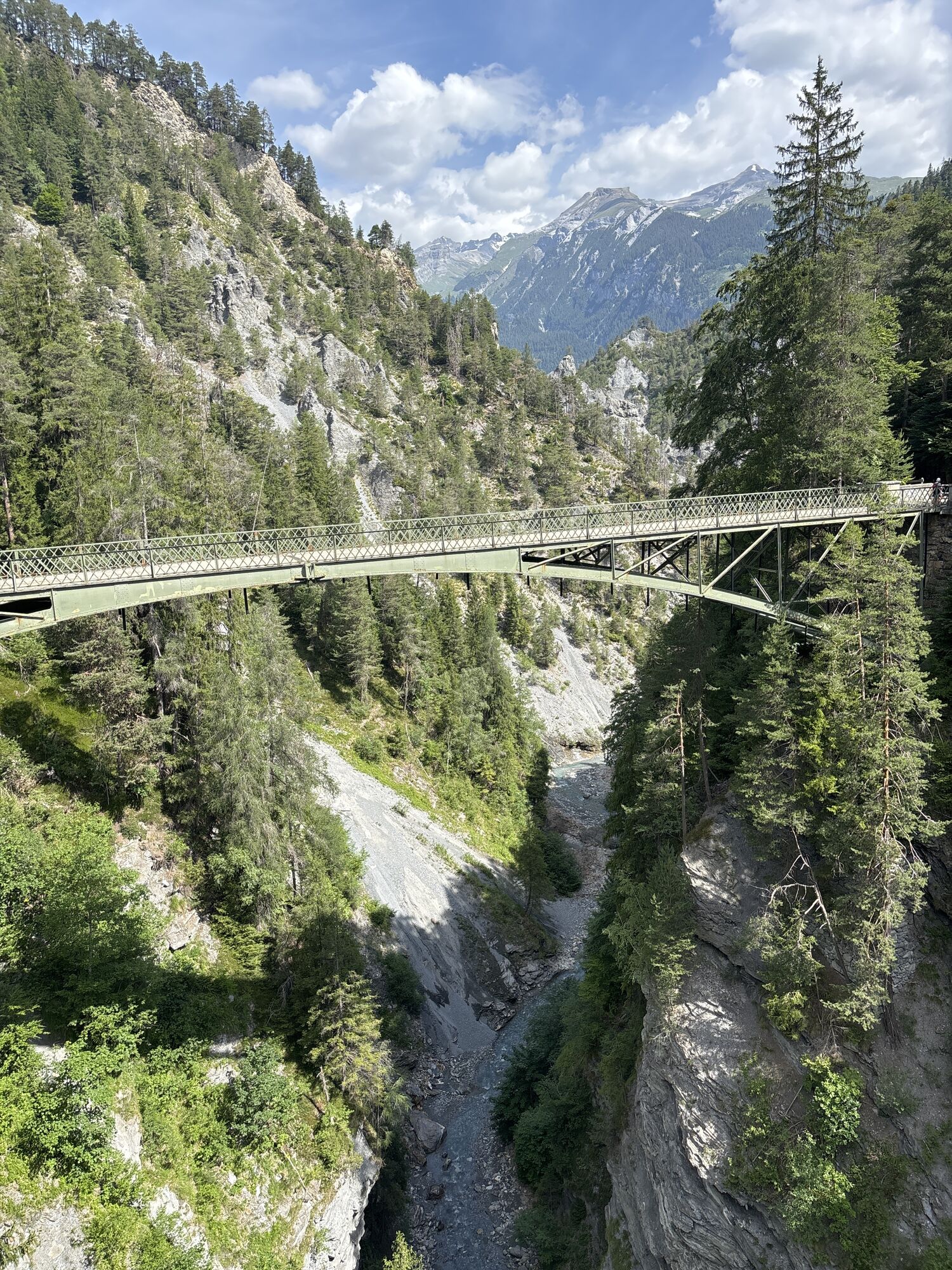
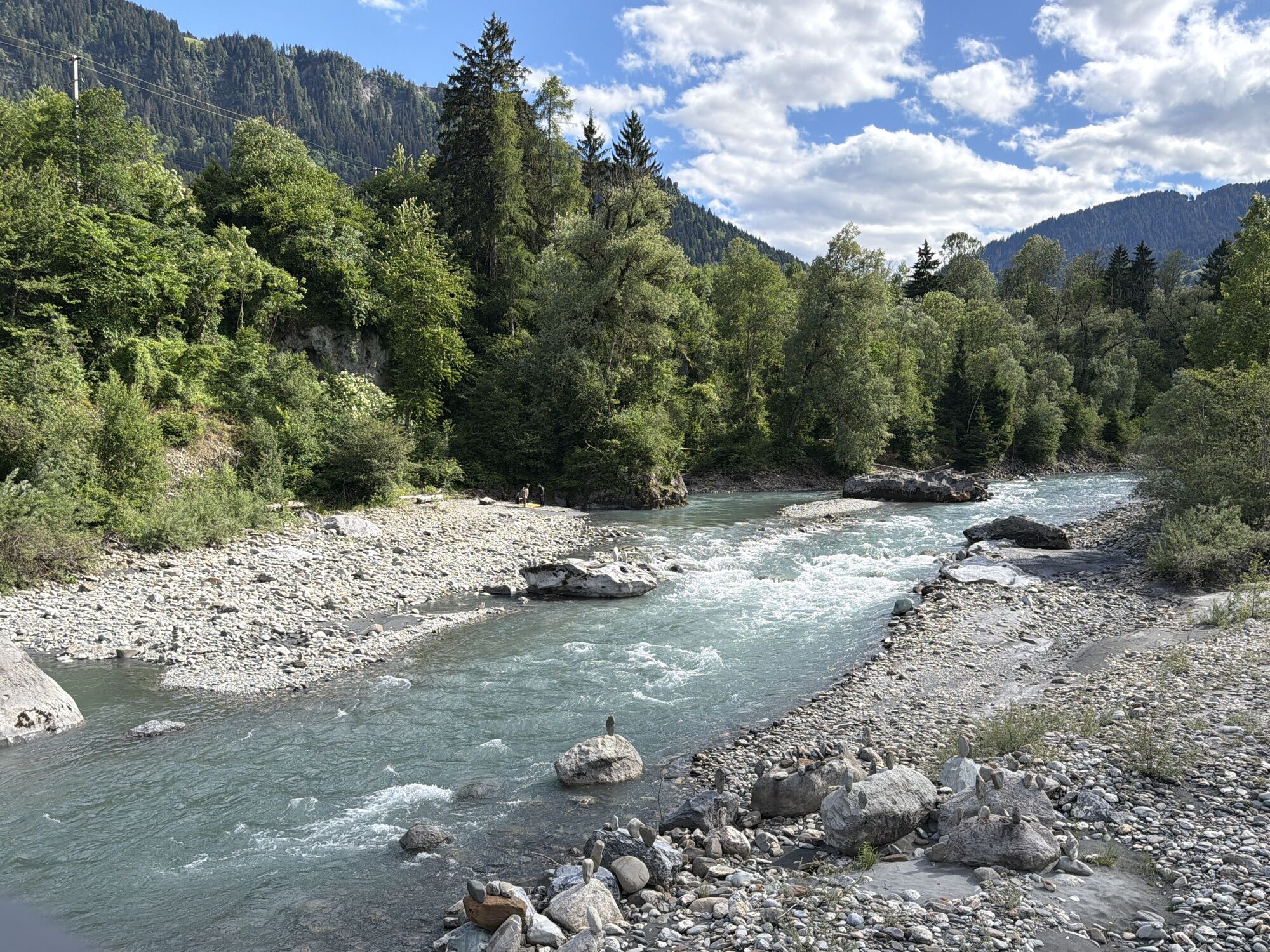
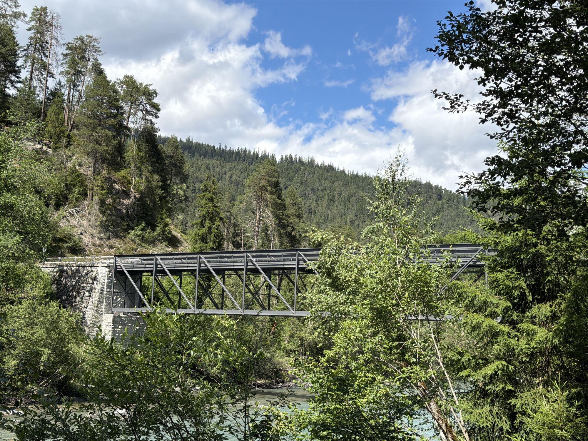
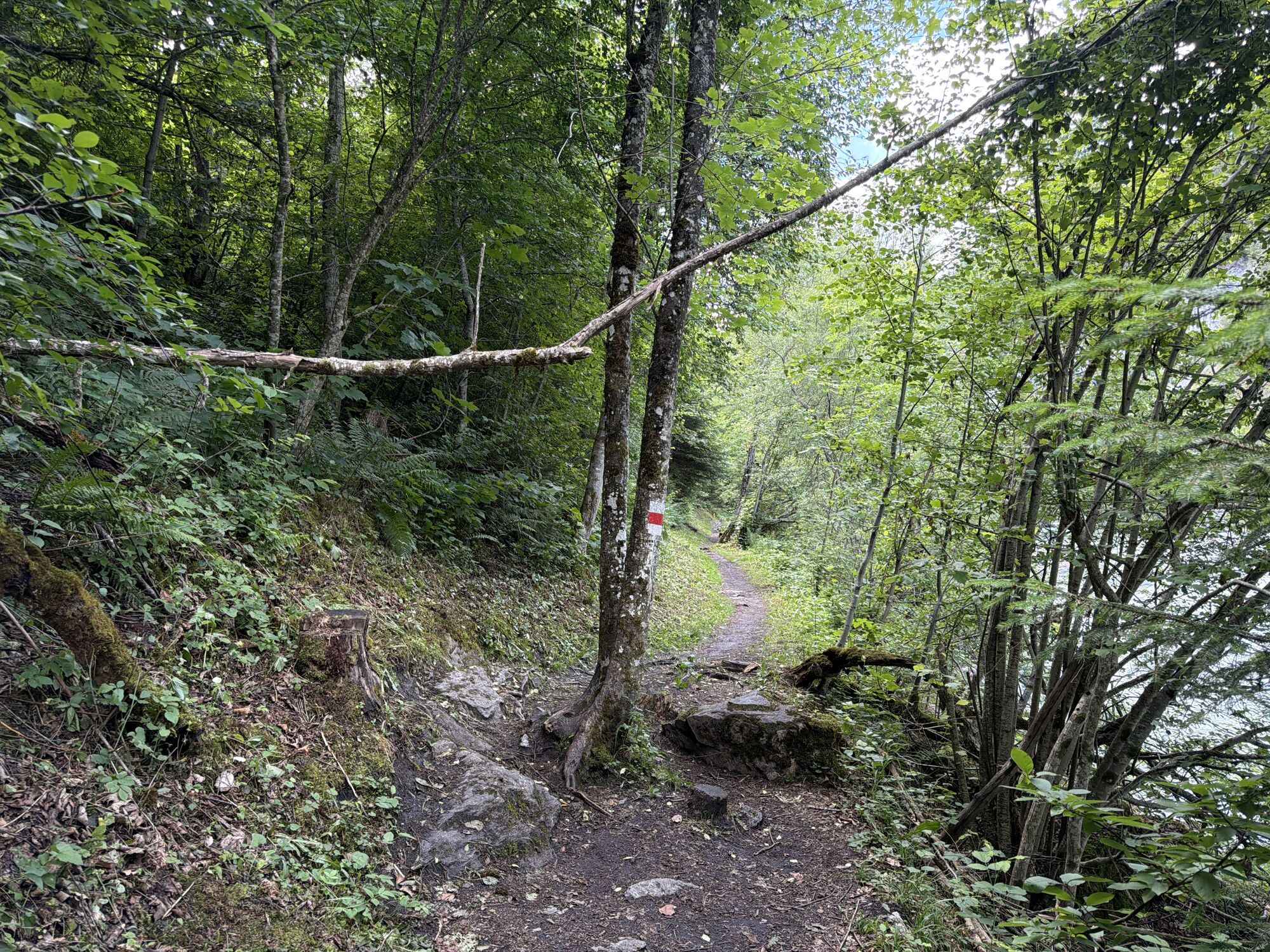
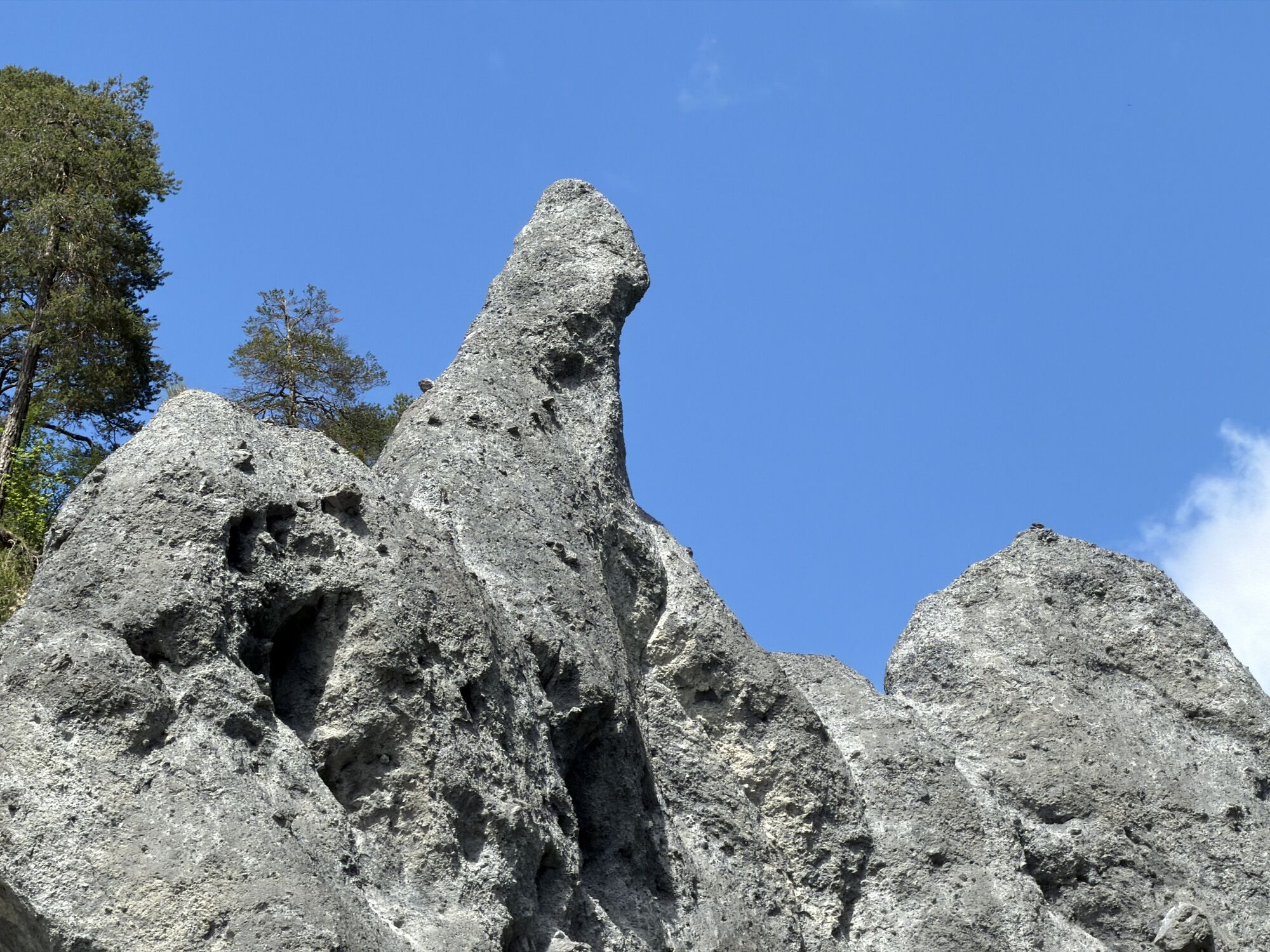
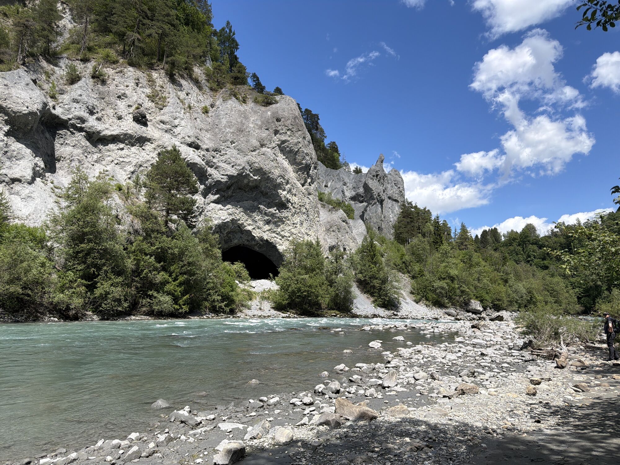
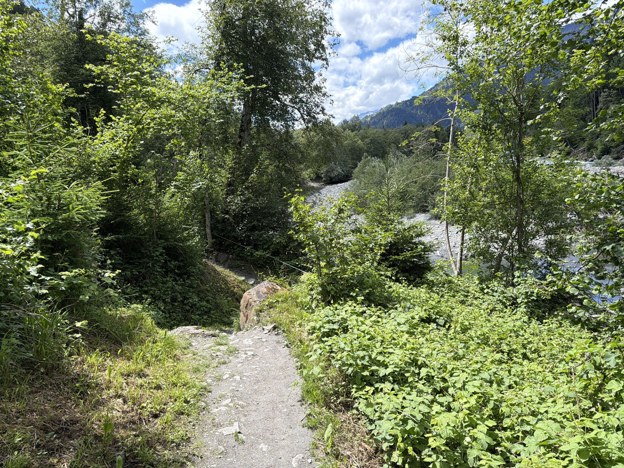
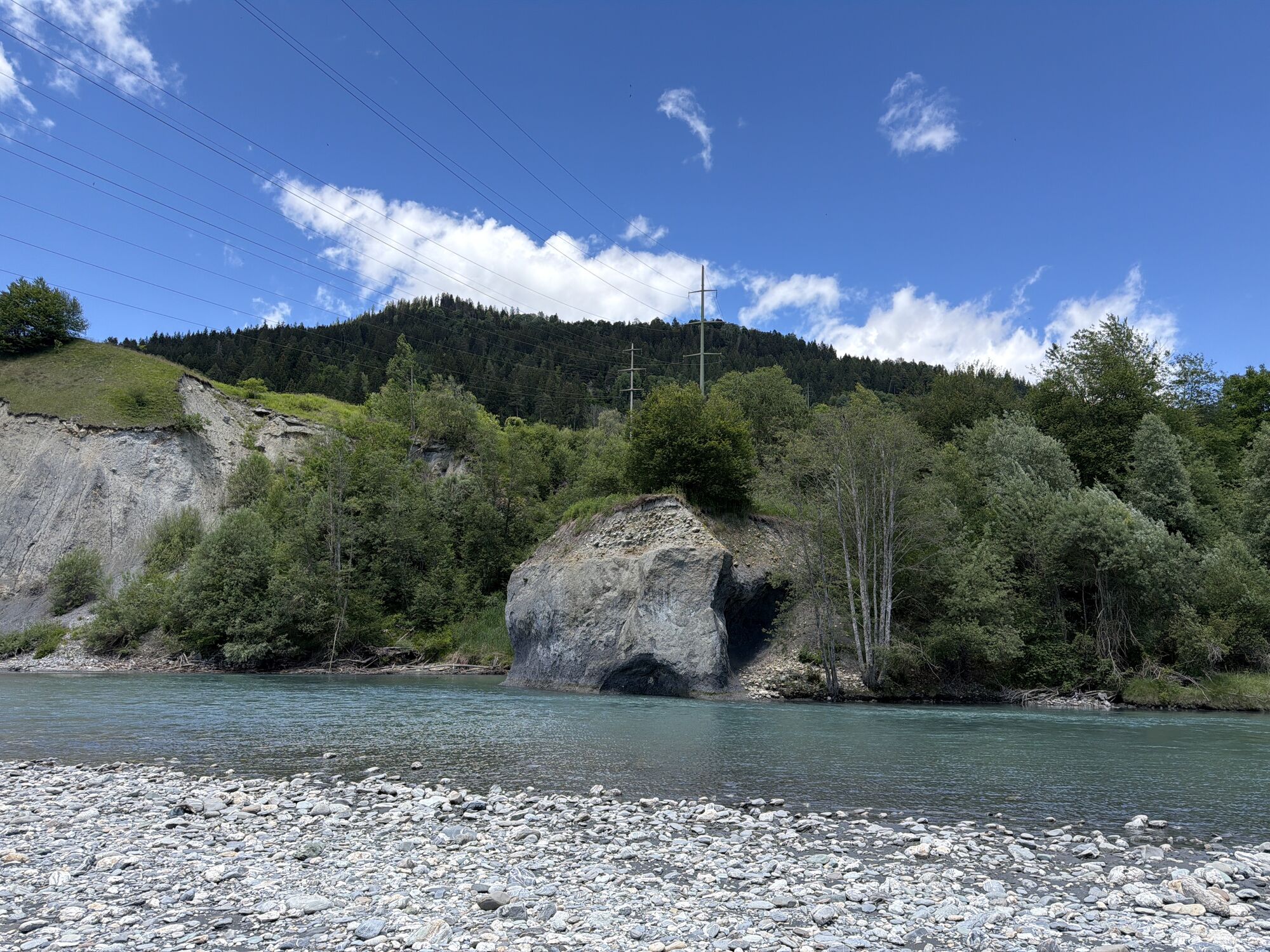
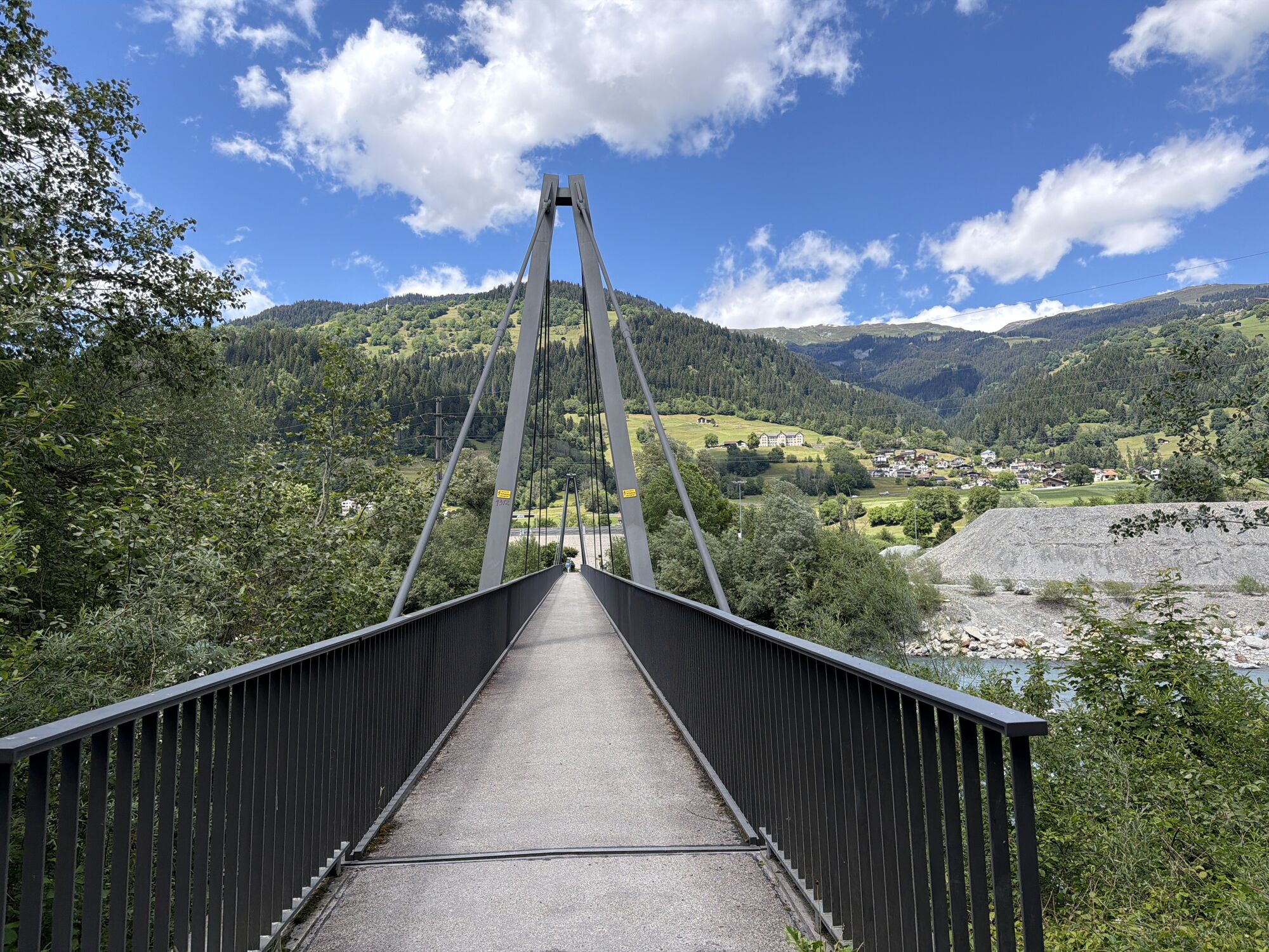
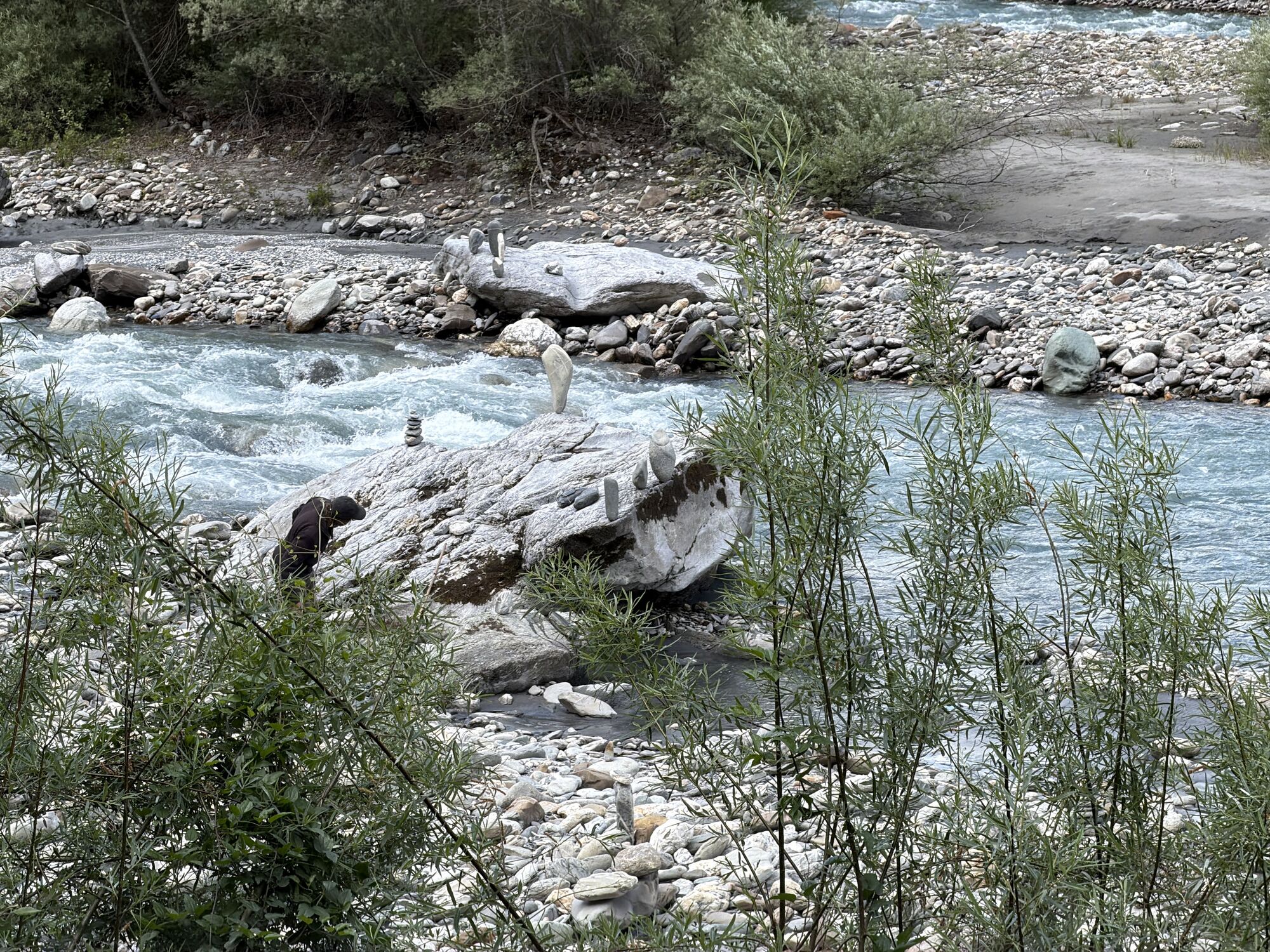
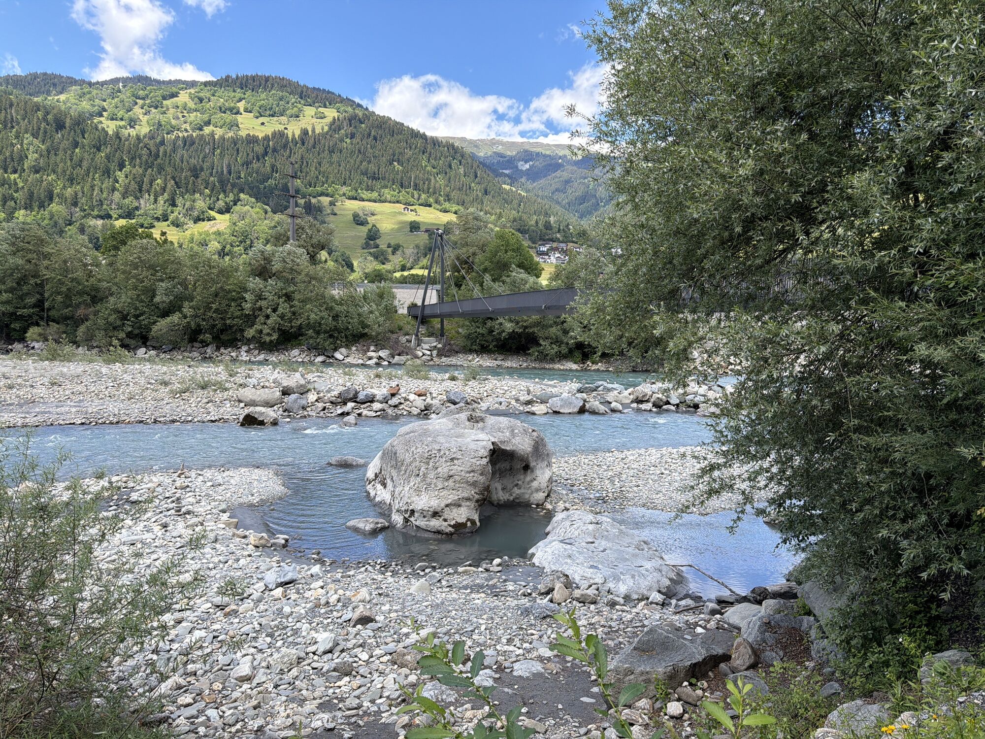
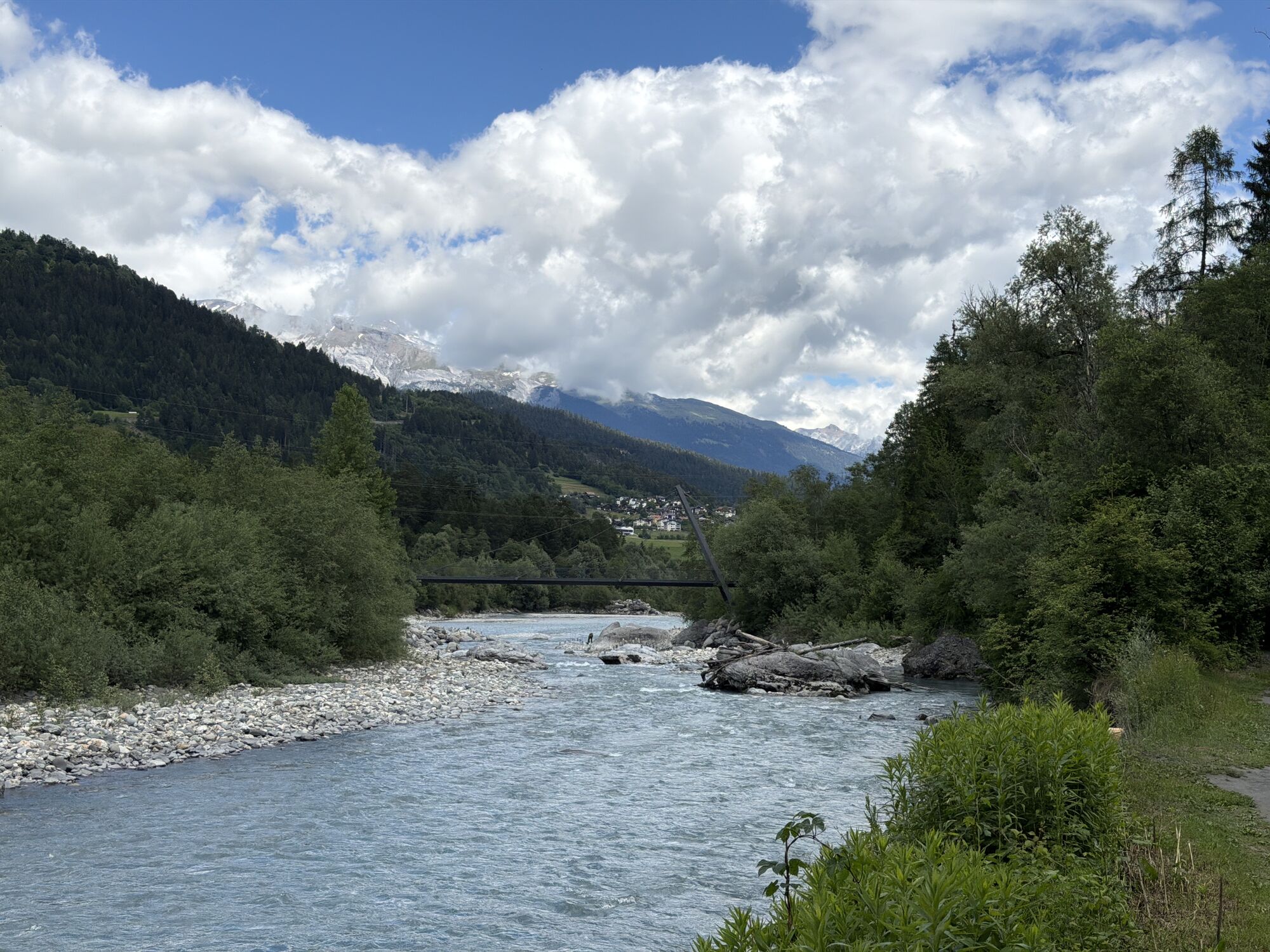
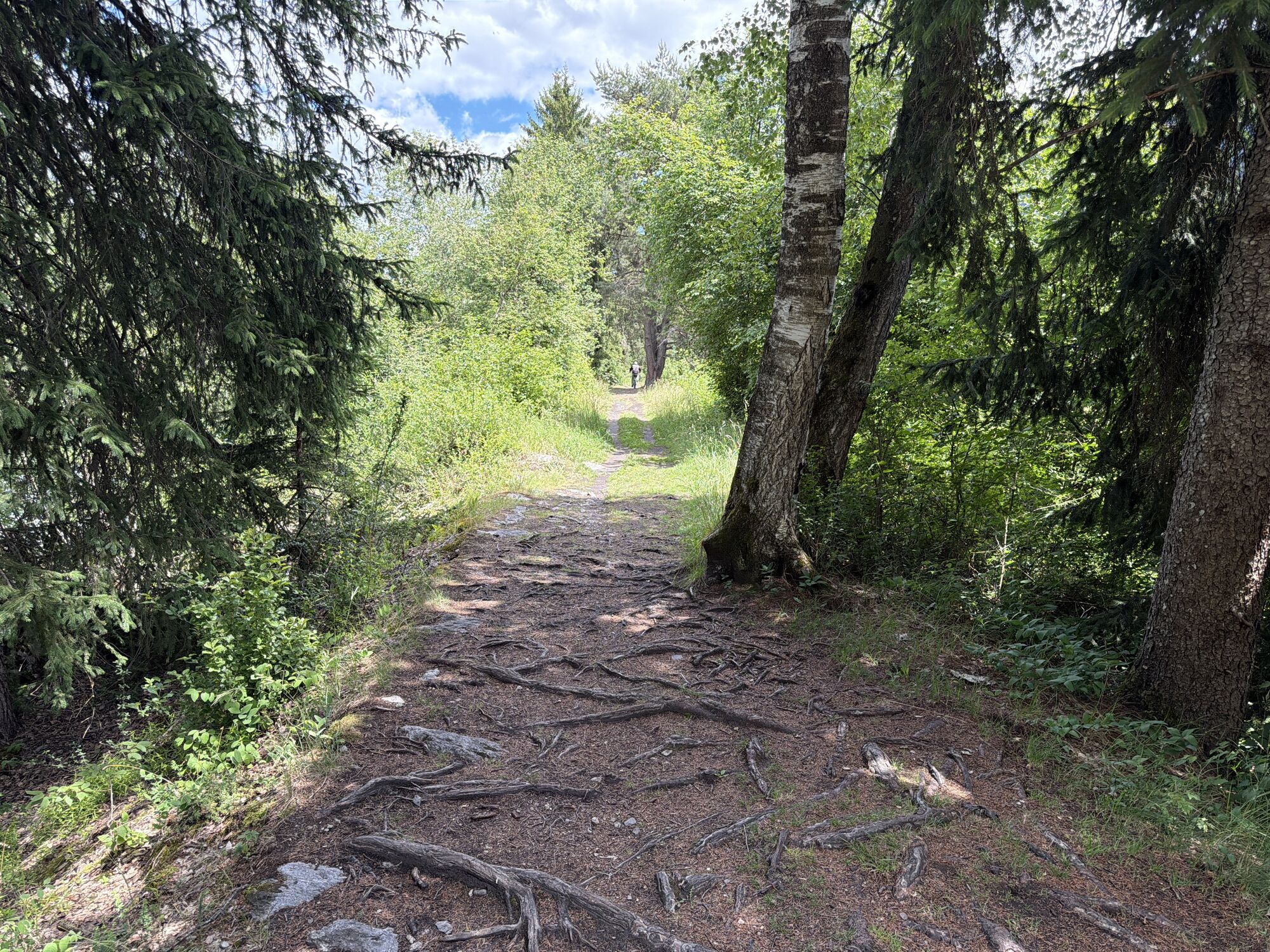
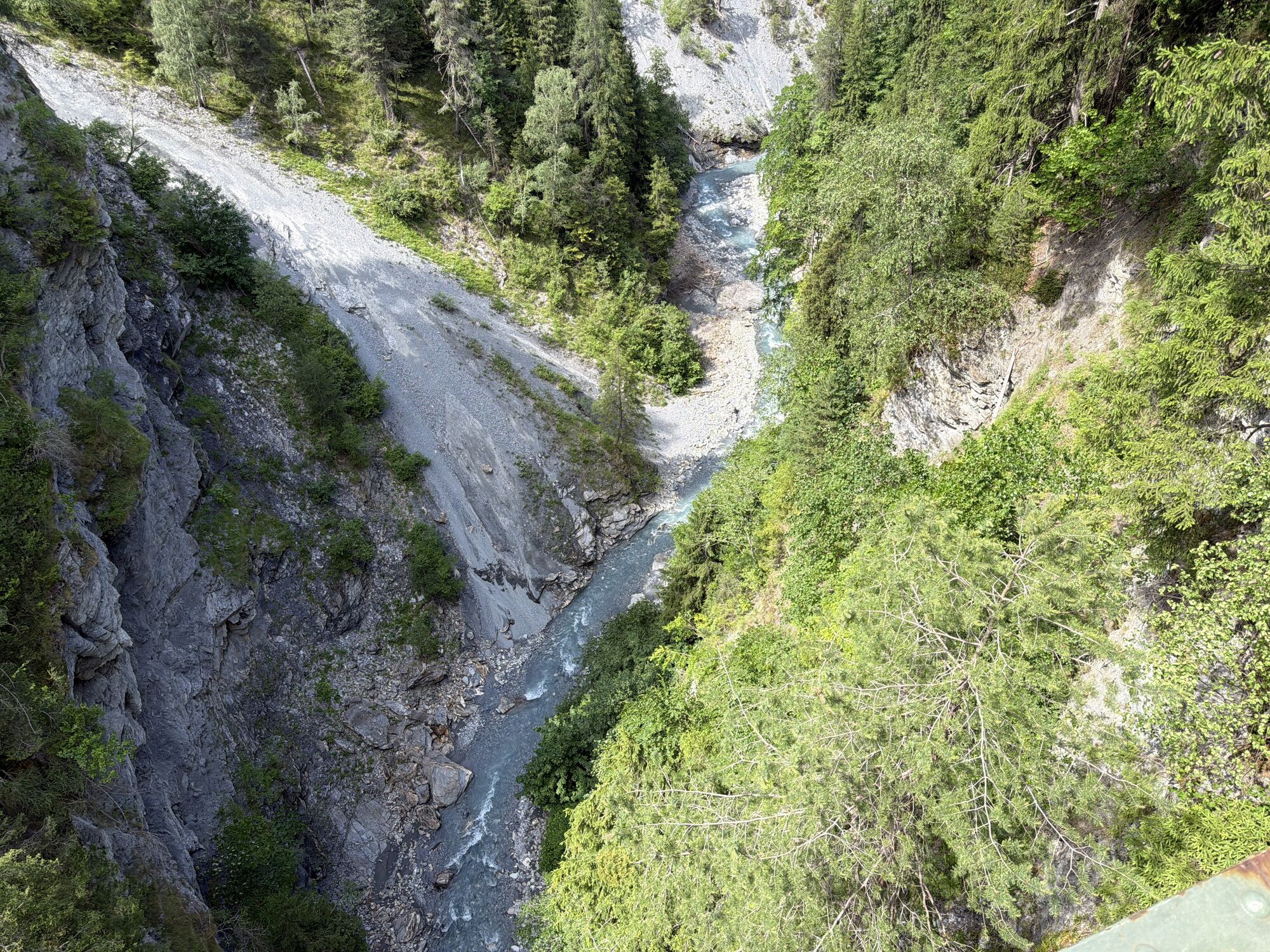
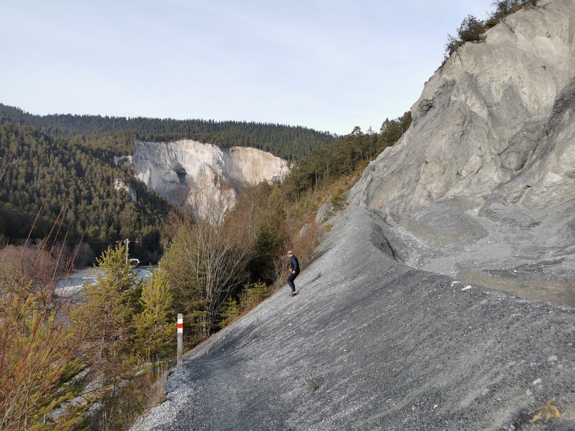
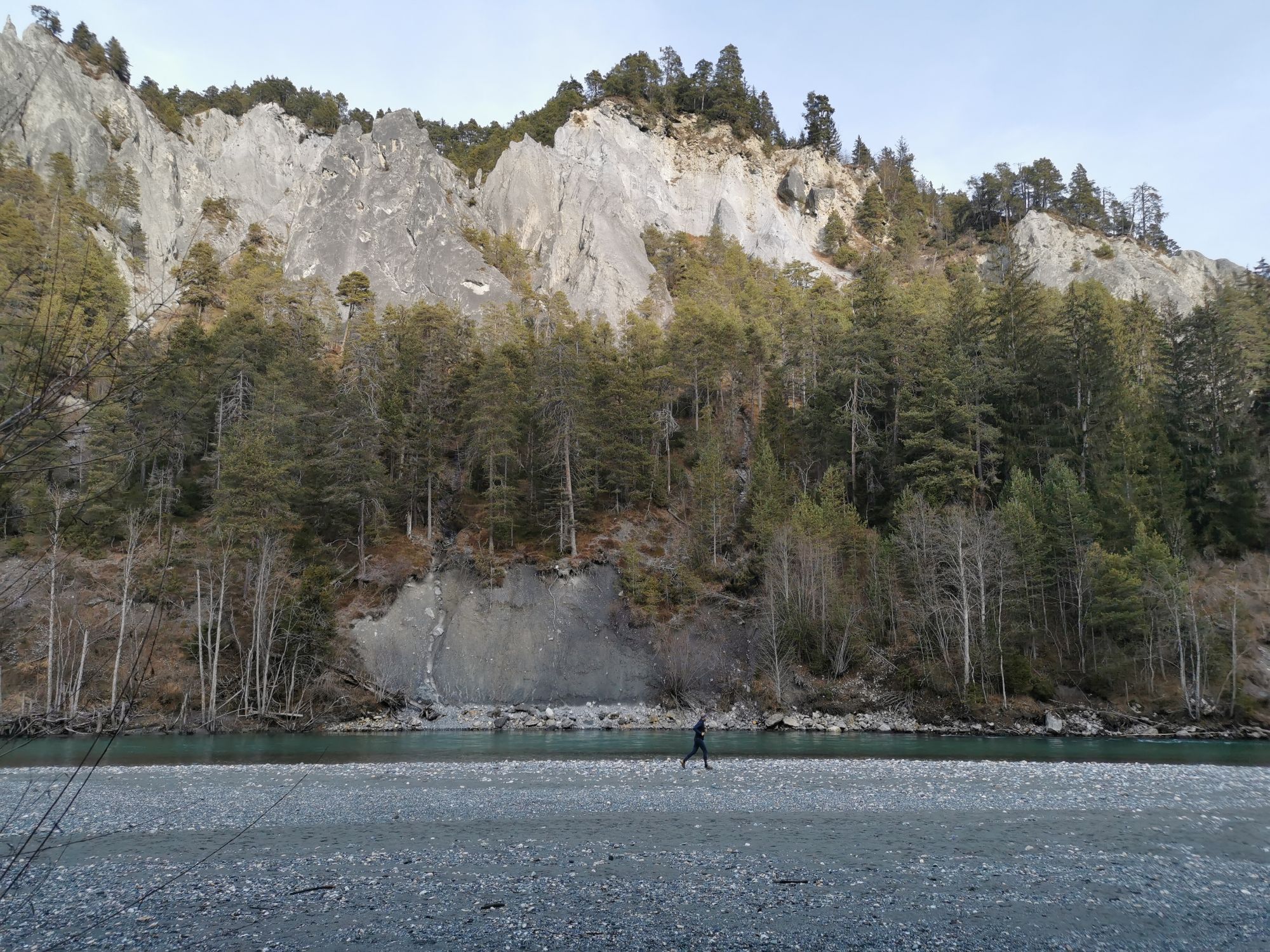
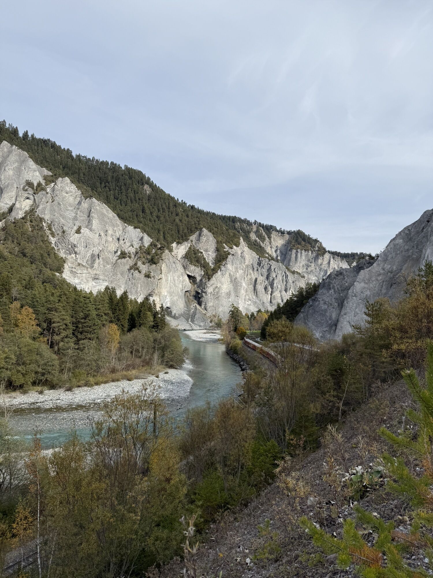
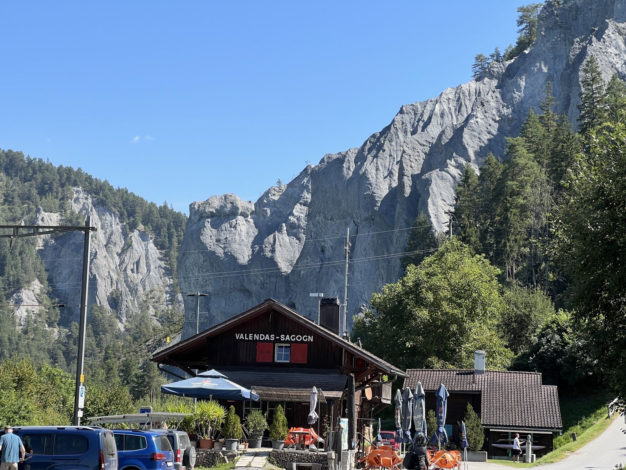
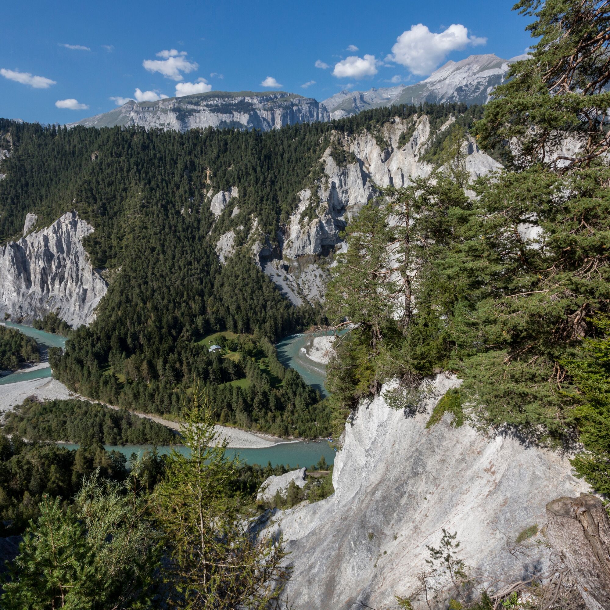
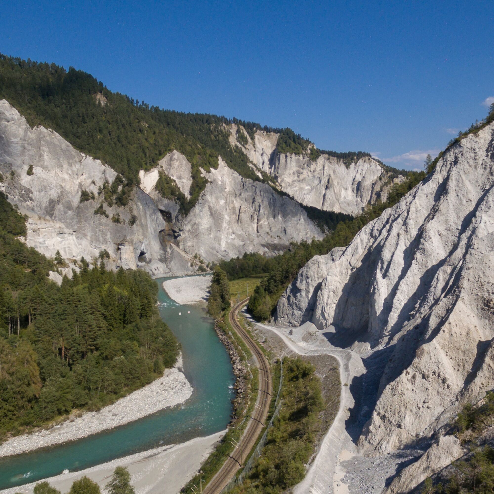
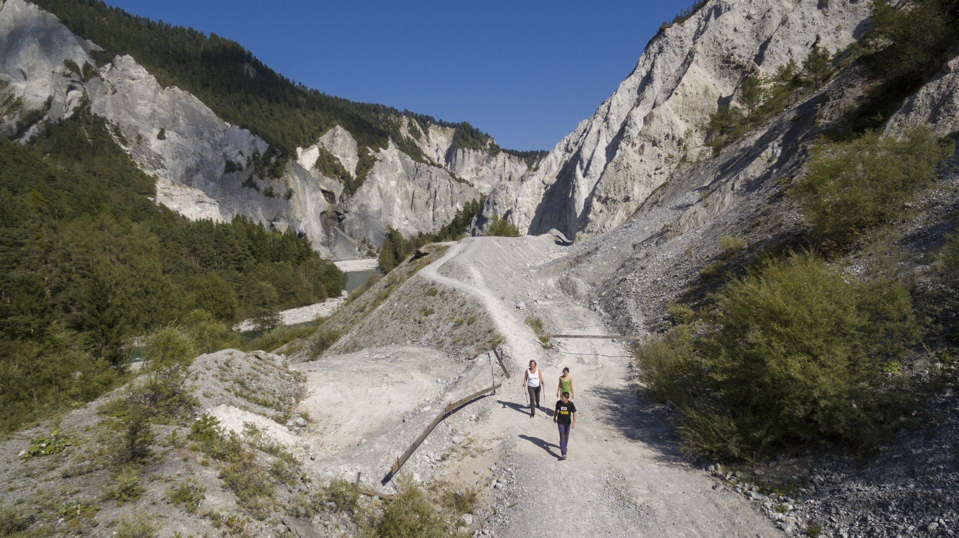
The Rhine Gorge with its up to 300-meter-high limestone walls and a unique fauna and flora is one of the most spectacular river landscapes in Graubünden. On the hike from Ilanz to Reichenau-Tamins, you...
Route 656 can be shortened well by the Rhaetian Railway or the Rhine Gorge/Ruinaulta bus, or you can split the hike into two stages.


Ilanz-Valendas Station-Versam/Safien-Versam Village-Versamer Tobel-Bonaduzer Forest-Suspension Bridge-Trin Station-Reichenau
Tak
Functional hiking clothing, hiking or trekking shoes, backpack, picnic, drinks, rain protection, sun protection
Please observe the rules of conduct in the Rhine Gorge. The paths close to the river may be temporarily impassable during floods.
Approach from Chur via Flims, Laax to Ilanz or via the Oberalp Pass to Disentis and further to Ilanz.
Arrival by Rhaetian Railway to Ilanz or from the surrounding villages by postal bus.
Parking lot at the station
T2
In summer it can become very warm in the Rhine Gorge.
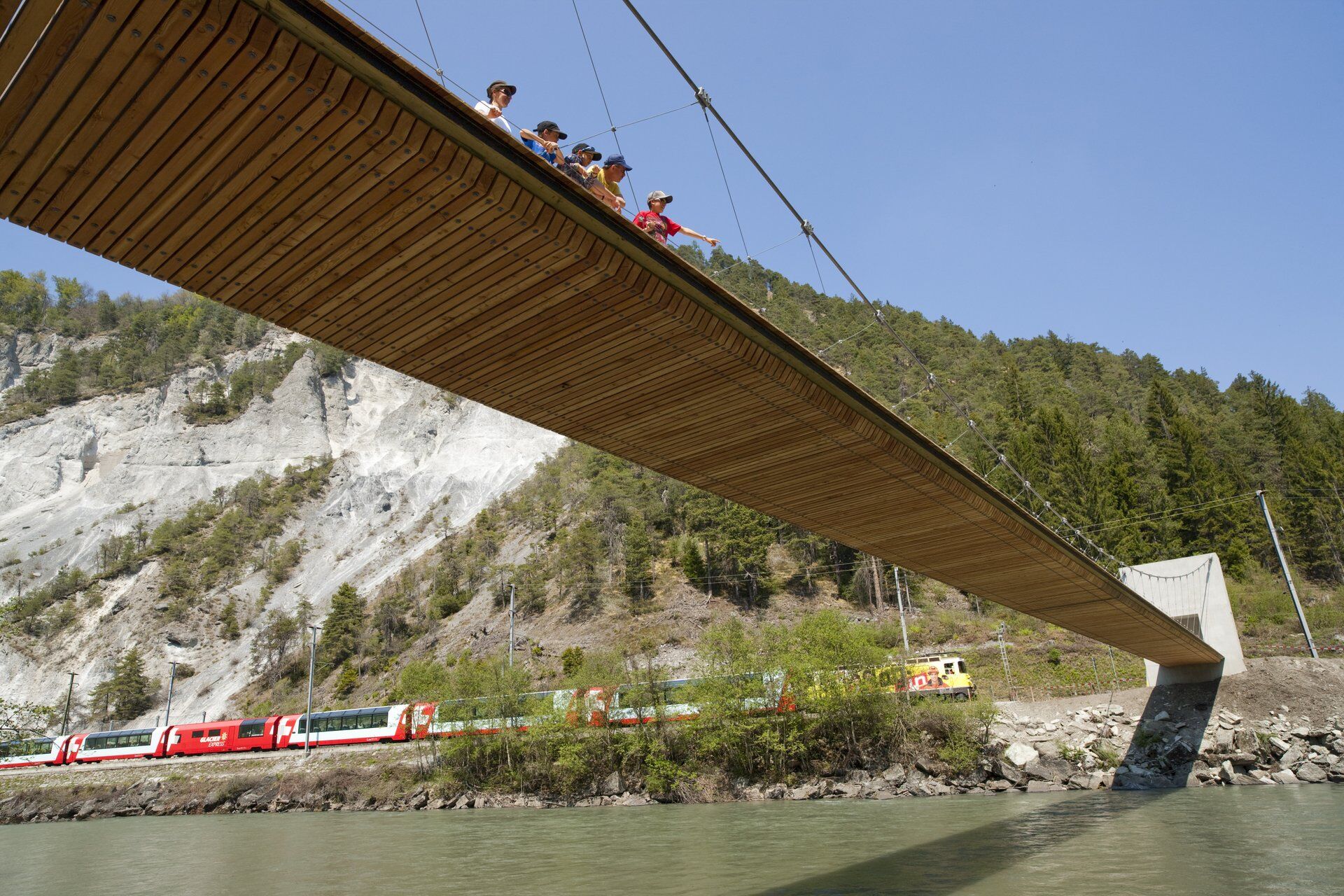
Highlights: Islabord, Spitg and Zault viewing platforms, suspension bridge, confluence of the Vorderrhein and Hinterrhein
Uzyskaj wgląd
Zawsze na żywo z ponad 9 500 kamer internetowych. bergfex Jako użytkownik Pro, możesz teraz zobaczyć odpowiednie kamery internetowe dla wielu wycieczek w aplikacji wycieczki od. Pozwala to na bezpośredni podgląd aktualnych warunków.


Popularne wycieczki w okolicy
-
4,4
4-lake hike: Caumasee - Crestasee - Felsbach Gorge
średniWędrówka 12,8 km -
4,8
Rheinschlucht: From Ilanz to Versam into the heart of the Rheinschlucht
średniWędrówka 11,4 km -
4,8
Rhine Gorge Hike: Senda Ruinaulta (659)
światłoWędrówka 9,39 km -
4,8
Mountain hike to the Strudeltöpfe on Alp Mora: Bargis-Trin
ciężkiWędrówka 18 km -
4,7
The Water Trail: Trutg dil Flem 764
ciężkiTrasa tematyczna 8,56 km -
5,0
Caumasee tour: Flims - Caumasee - Conn - Flims
światłoWędrówka 7,94 km -
4,3
Historic Pinut via ferrata
średniVia ferrata 5,82 km -
5,0
Lower Segnesboden: Nagens Sura - Lower Segnesboden - Segnes hut - Alp Nagens
średniWędrówka 6,66 km -
4,5
St. Martin - Alp Sardona - St. Martin
średniWędrówka 14,2 km -
4,3
Circular hike: Falera-Curnius-Alp Dadens-Falera
średniWędrówka 11,4 km
Wędrówki i tropienie


Nie przegap ofert i inspiracji na następne wakacje
Twój adres e-mail została dodana do listy mailingowej.





