





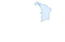

St. Martin - Alp Sardona - St. Martin

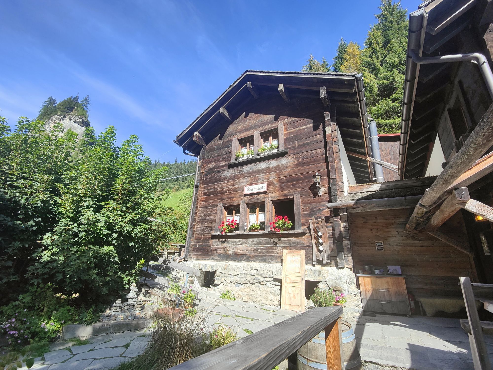
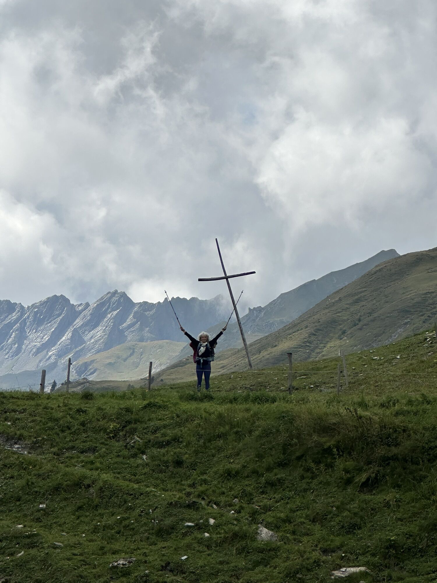
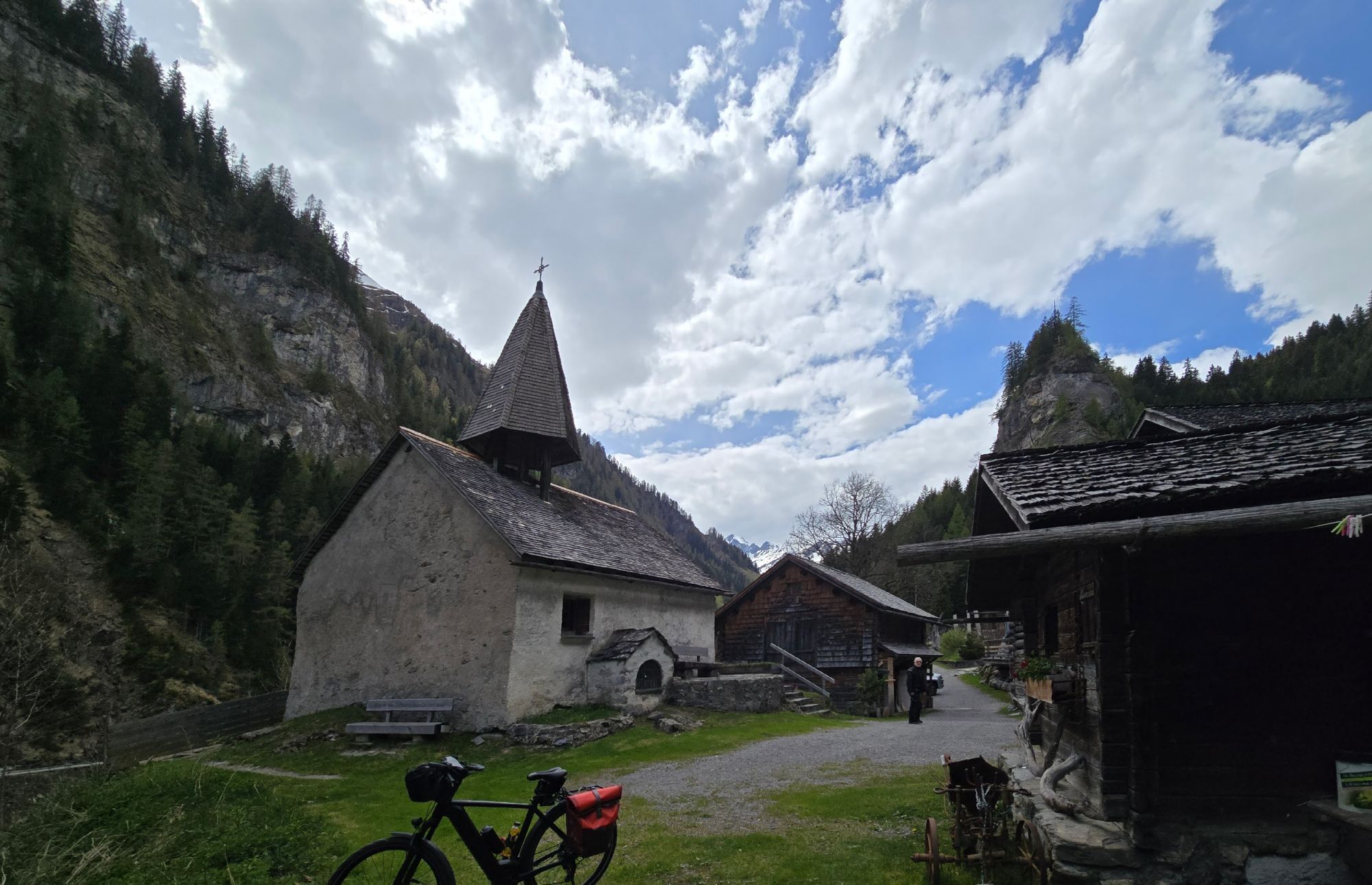
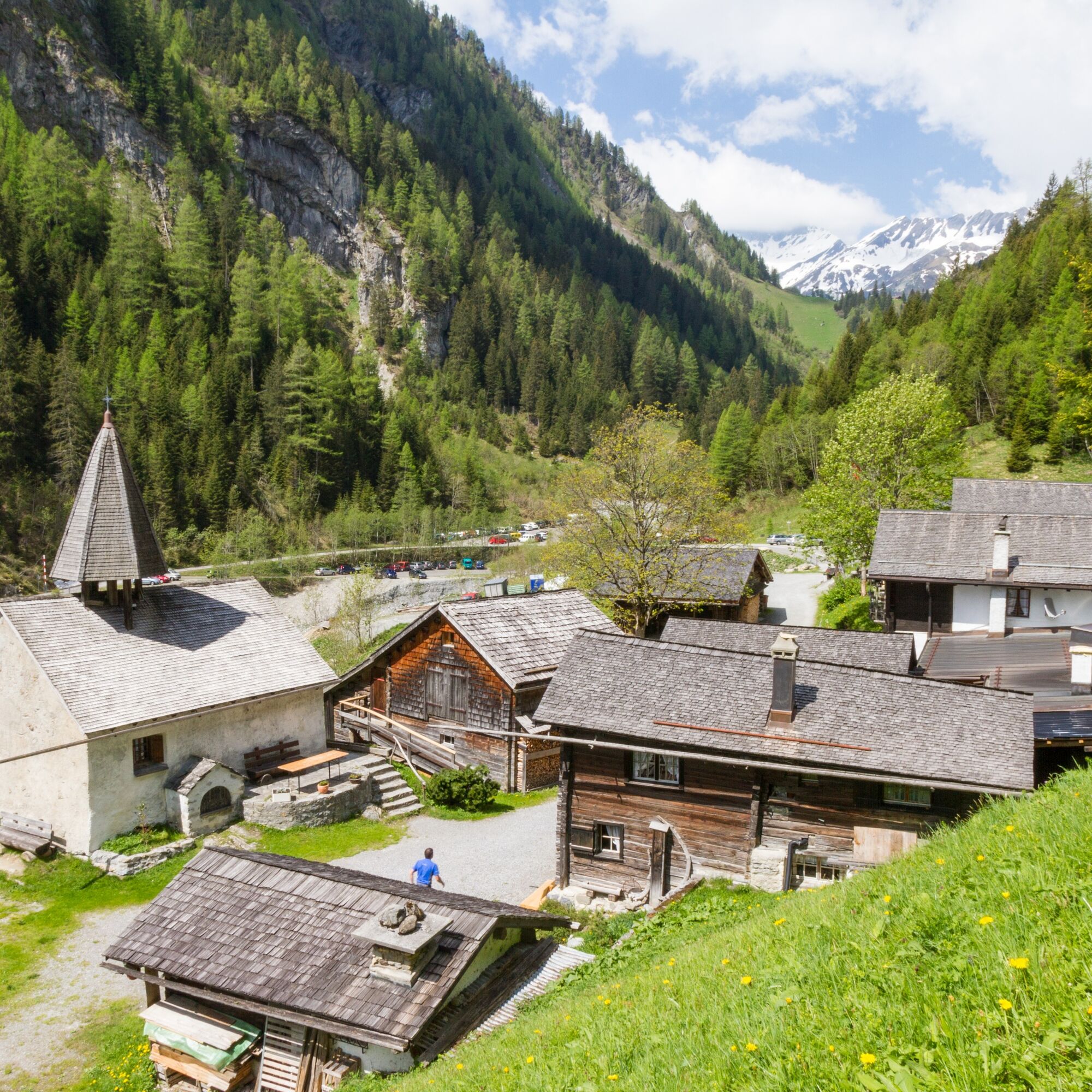
From 1346 to 1653 the Calfeisen Valley was home to the free Walser, who had immigrated from Upper Valais. As in other Walser settlements, the struggle against the forces of nature eventually exceeded human...
From 1346 to 1653 the Calfeisen Valley was home to the free Walser, who had immigrated from Upper Valais. As in other Walser settlements, the struggle against the forces of nature eventually exceeded human strength. Gradually, the farmers emigrated to the Rhine Valley.
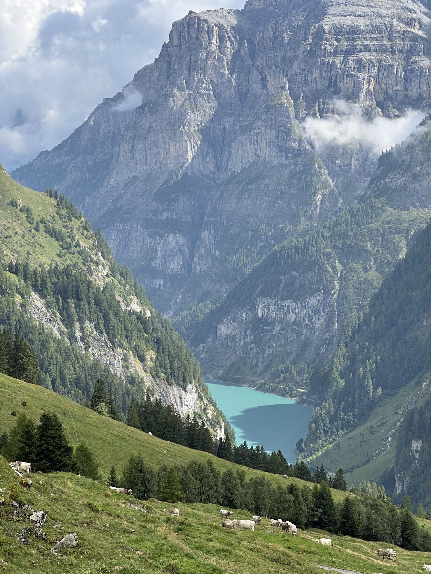
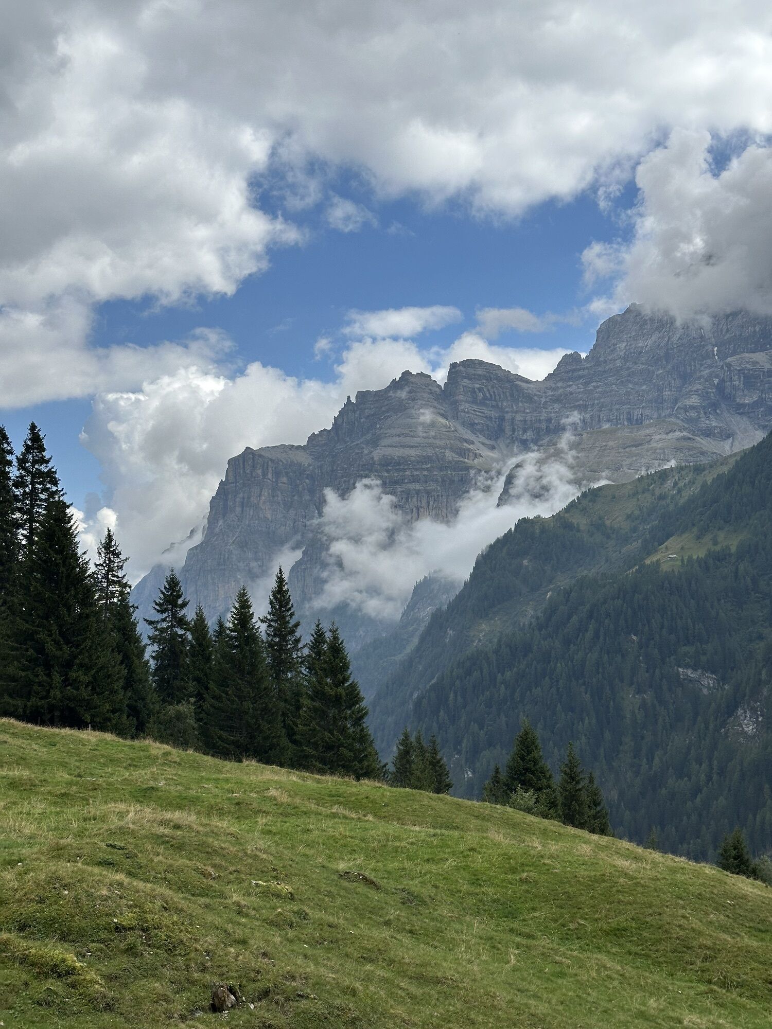
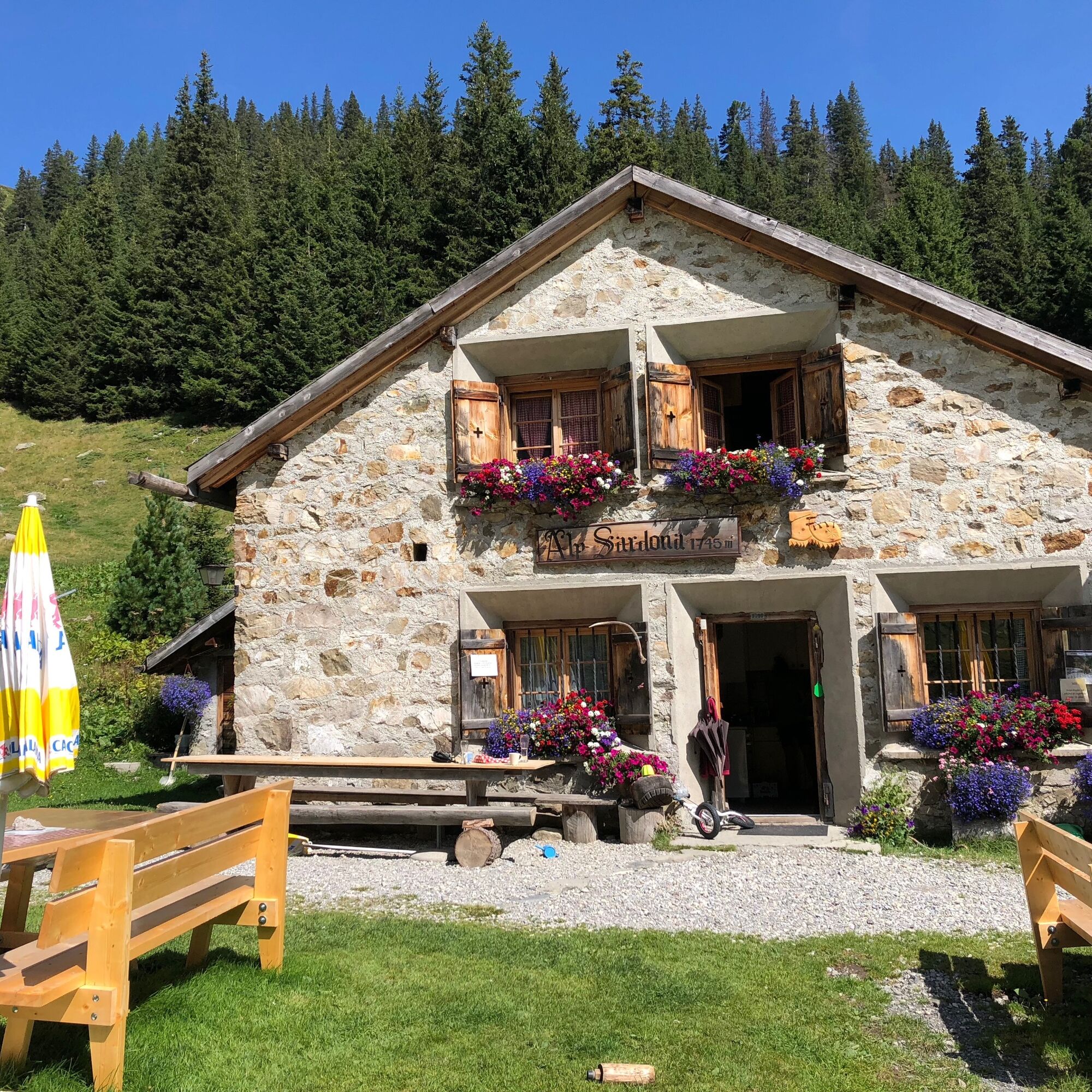
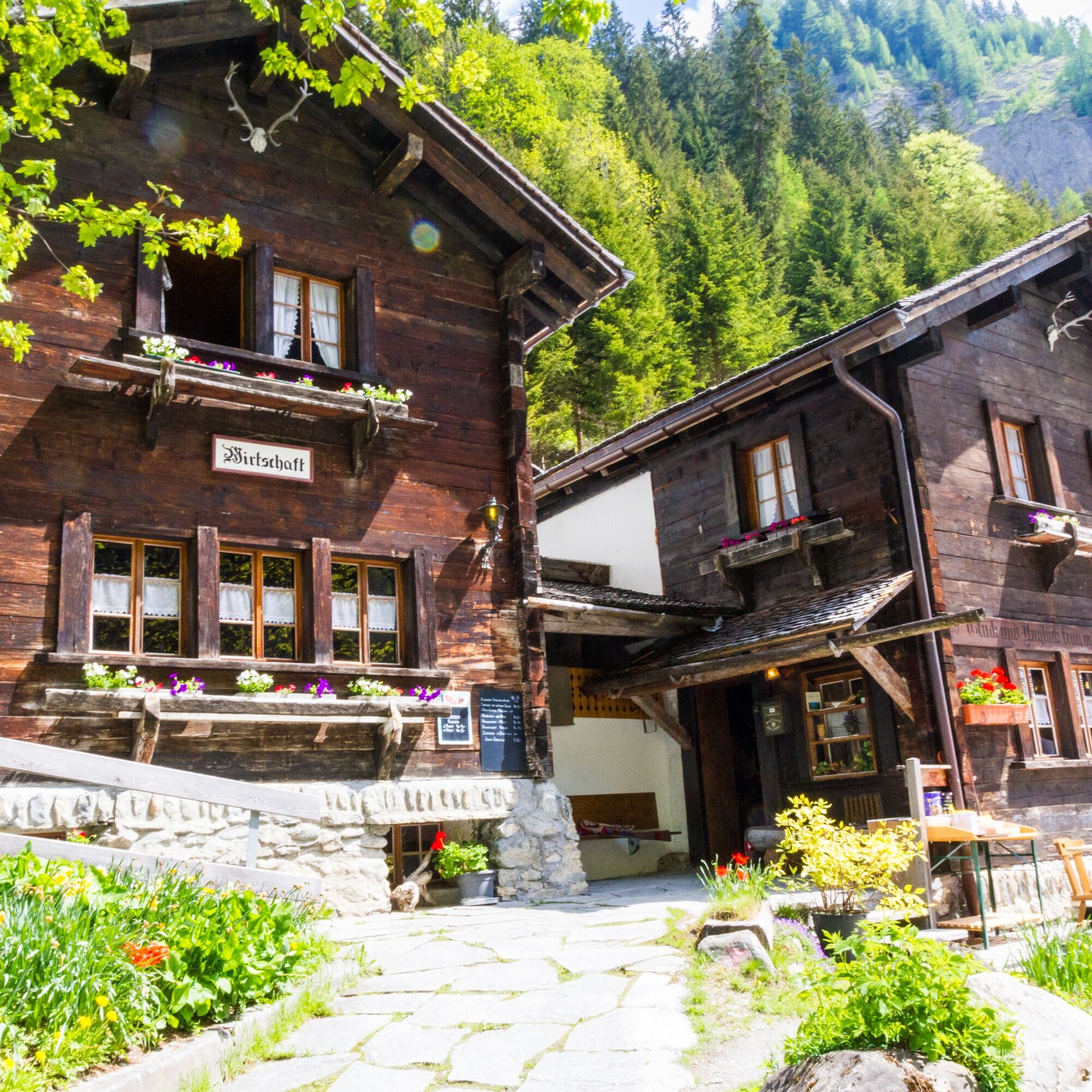
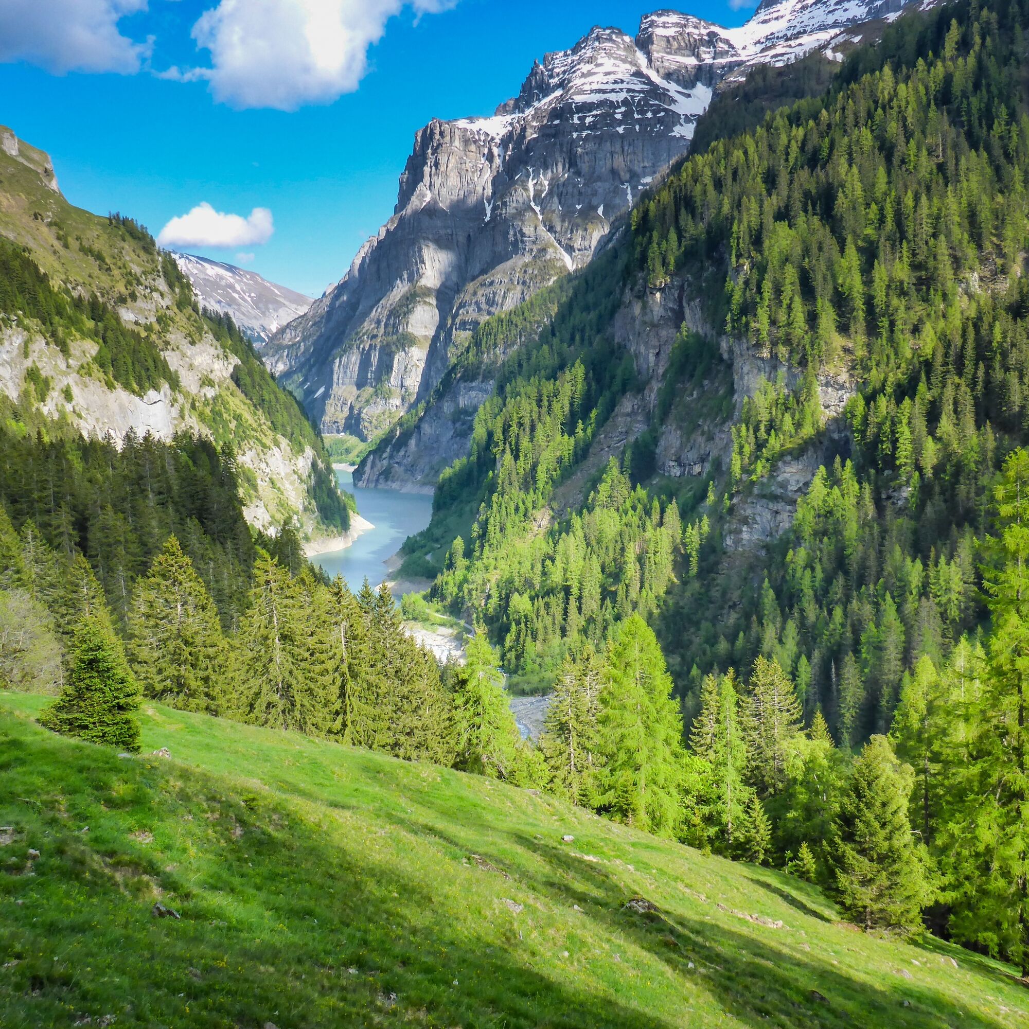
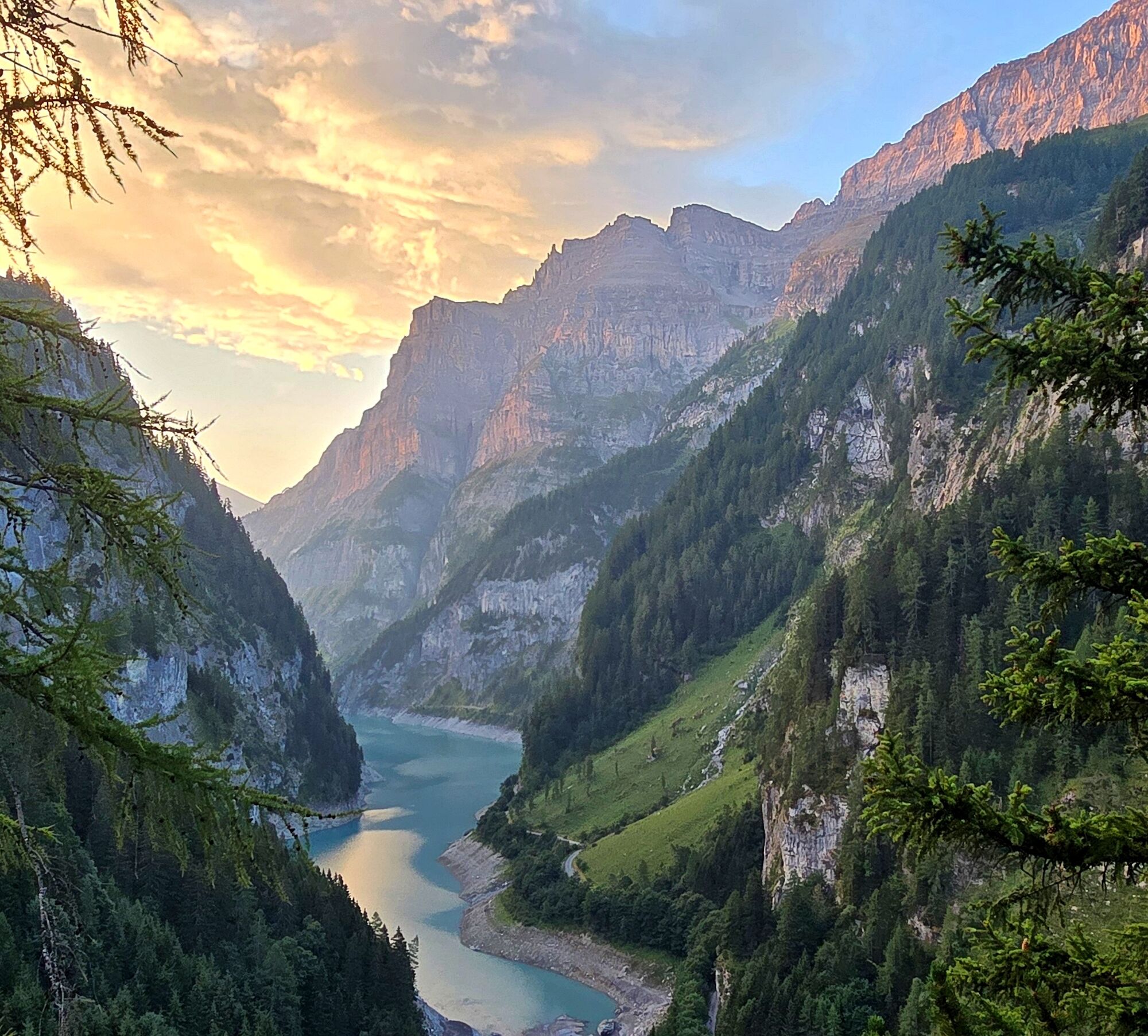
We hike on the natural road from the small church of St. Martin above the Tamina to Hochegg. Our view sweeps across to the other side of the valley to Alp Schräa, where the Tüfwald hut sits on a rocky ledge. The Ringelspitz, the highest mountain in St. Gallen at 3247 m, can also be seen. We ascend through the shaded forest to the Malanseralp, which was called Alp Calfeisen by the Walser. The sharp whistles of the marmots greet us in this magnificent Alpine world. Around us we recognize Heitelspitz, Sazmartinshorn, Gigerwaldspitz, Simel, Orgeln, and the Panärahörner. Our path leads us to Malanser Obersäss, junction of the well-known Heidelpass route to the Weisstannen Valley, then continues over raised moors to Alp Platten Obersäss. On this wonderful height we enjoy the panoramic view of the front Calfeisen Valley with the green-blue shimmering Gigerwald reservoir. With light steps we continue over colorful meadows to the Hinteren Plattenbach. Here our gaze turns north towards the Heubützli Pass, which served the Walser as a connection between Calfeisen, Weisstannen and Sernft valleys. Over Plättli and Chäsboden we reach Älpli Untersäss. Our path leads through the Sardona forest to the Alp hut Sardona. On a rocky ledge, below the Sardona Glacier, stands the SAC hut Sardona at 2157 m. We cross the Tamina to the other side of the valley and reach the fifth alp, Ebni. The last ascent takes us to Tüfwald, then downhill back to St. Martin.


St. Martin - Hochegg - Malanseralp - Alp Platten - Obersäss - Gamserälpli - Untersäss - Alp Sardona - Tüfwald - St. Martin
Normal hiking equipment, sturdy mountain boots.
Take the Bad Ragaz motorway exit. In the center of Bad Ragaz turn onto the mountain road towards Pfäfers/Valens and either go via Pfäfers or via Taminabrücke and Valens to Vättis and then continue into the Calfeisen Valley to Sankt Martin.
There are numerous free parking spaces available at the Walser settlement of Sankt Martin.
St. Martin is only accessible by private car. From the Gigerwald dam there is a one-way traffic regulation every half hour.
By public transport: The post bus only goes as far as Gigerwald dam (mid-June to mid-August), then a light hike (3 km) to St. Martin.
Heidiland Tourism, Information Office Bad Ragaz
T +41 81 300 40 20
www.heidiland.com
You will be served at Alp Sardona.


Popularne wycieczki w okolicy
- 4,8
Tamina Gorge Circular Route
średniWędrówka 14,0 km - 4,7
5-Seen Wanderung am Pizol
światłoWędrówka 10,1 km - 4,6
Pizol - Batöni - Weisstannen
ciężkiWędrówka 11,7 km - 4,4
4-lake hike: Caumasee - Crestasee - Felsbach Gorge
ciężkiWędrówka 13,3 km - 4,8
Rhine Gorge Hike: Senda Ruinaulta (659)
światłoWędrówka 9,39 km - 4,8
Mountain hike to the Strudeltöpfe on Alp Mora: Bargis-Trin
ciężkiWędrówka 18 km - 4,6
Maschgenkamm - Spitzmeilen hut - Tannenbodenalp
ciężkiWędrówka 18,1 km - 4,7
The Water Trail: Trutg dil Flem 764
ciężkiTrasa tematyczna 8,56 km - 5,0
Circular hike Bettlerweg & 2-Lakes Hike Pizol
średniWędrówka 11,4 km - 4,5
Pizol summit tour
średniWędrówka 9,28 km
Wędrówki i tropienie


Nie przegap ofert i inspiracji na następne wakacje
Twój adres e-mail została dodana do listy mailingowej.





