






The Water Trail: Trutg dil Flem 764
Poziom trudności: T2
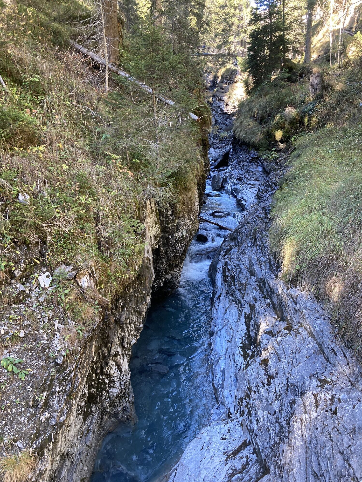
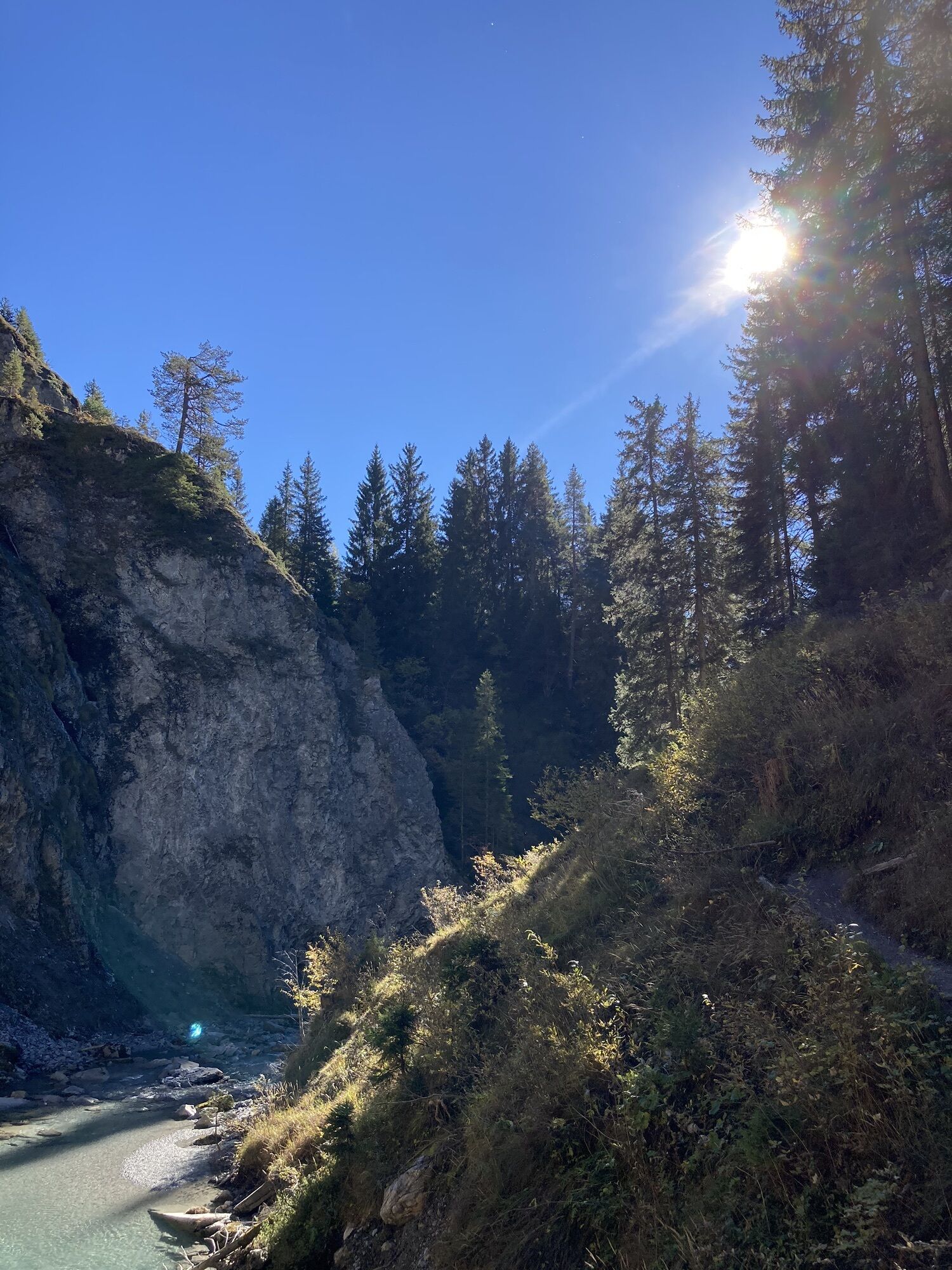
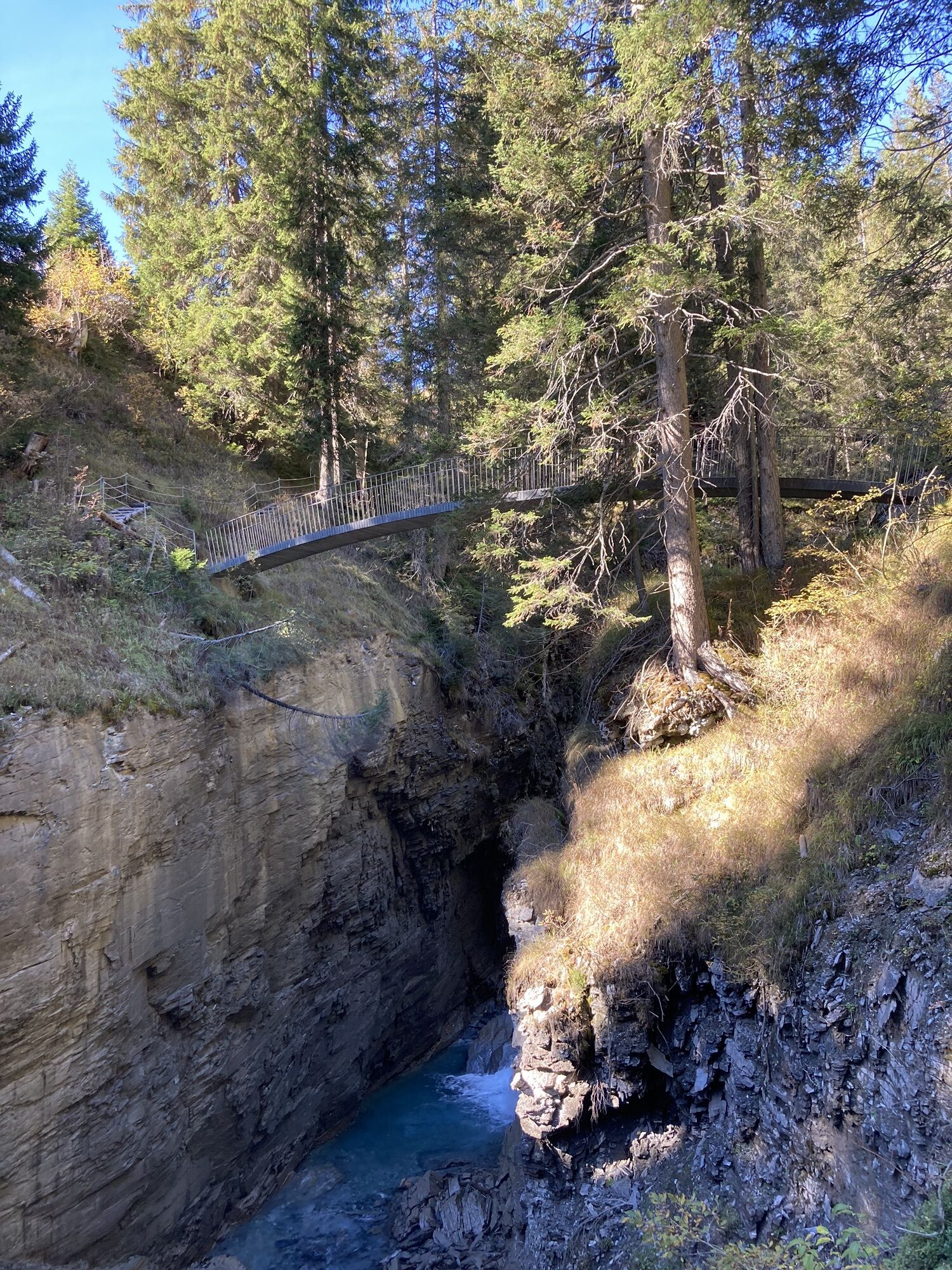
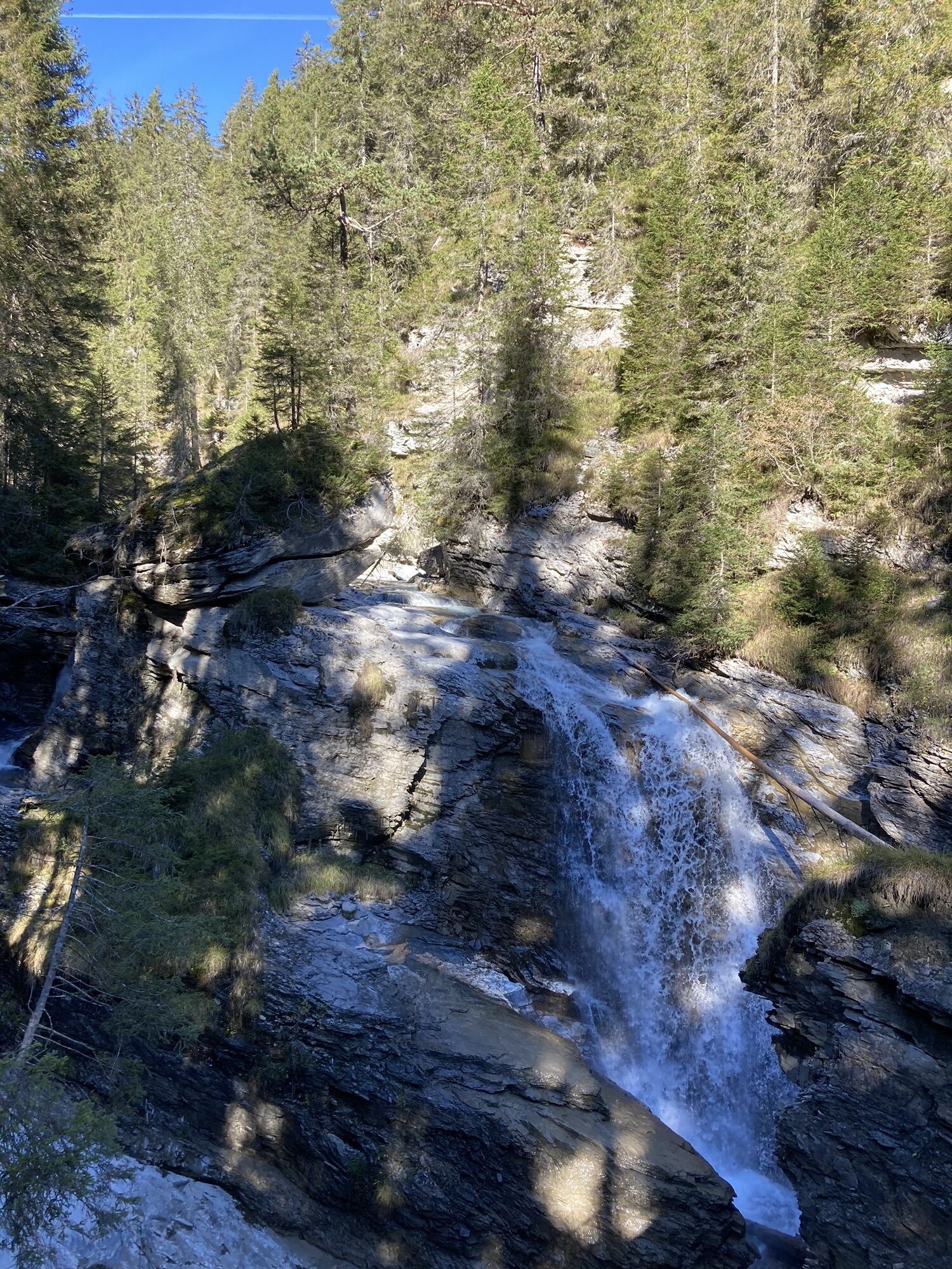
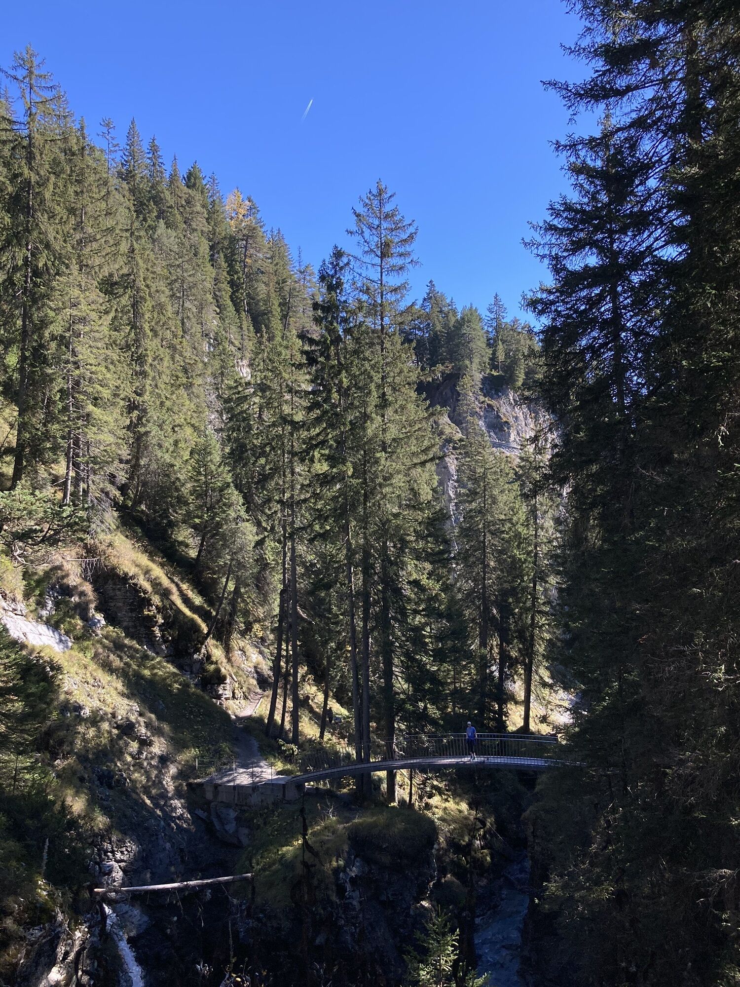
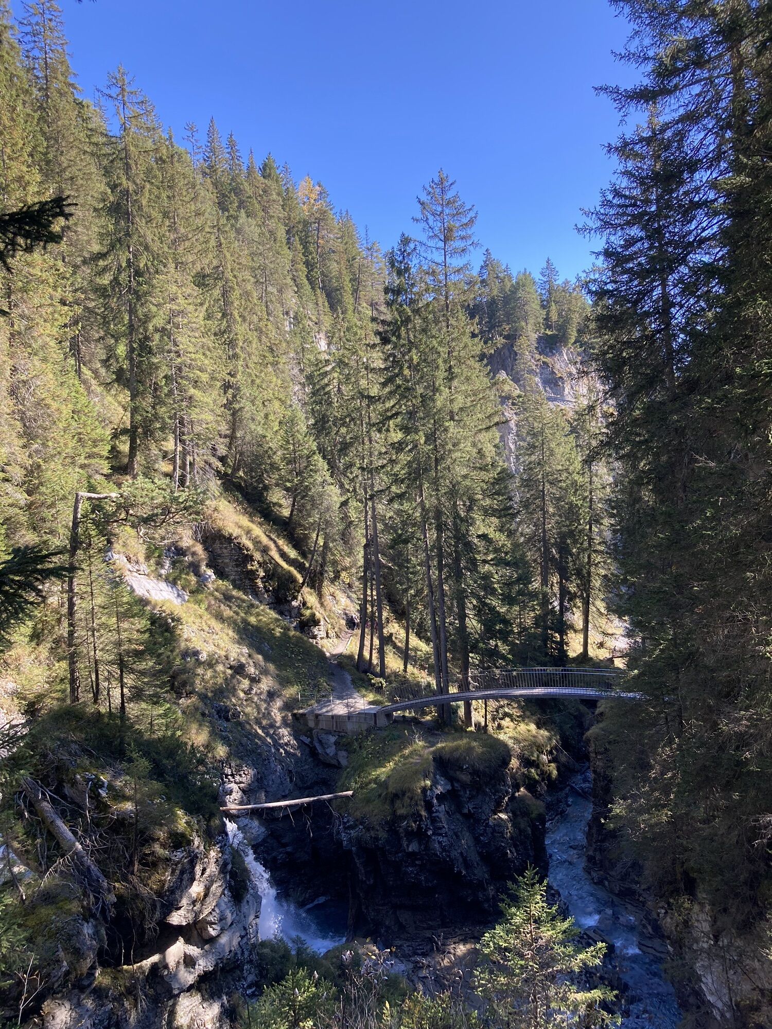
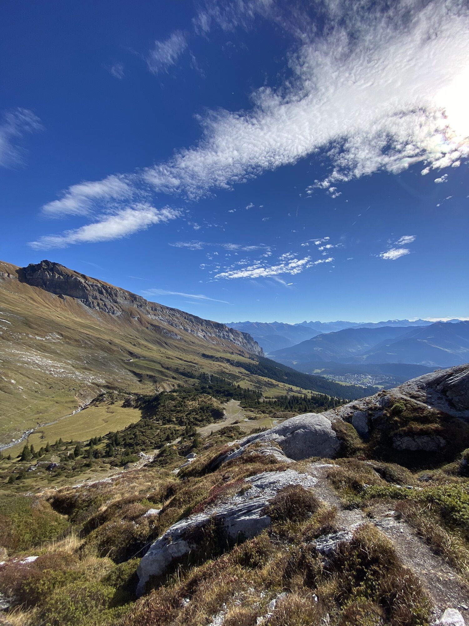
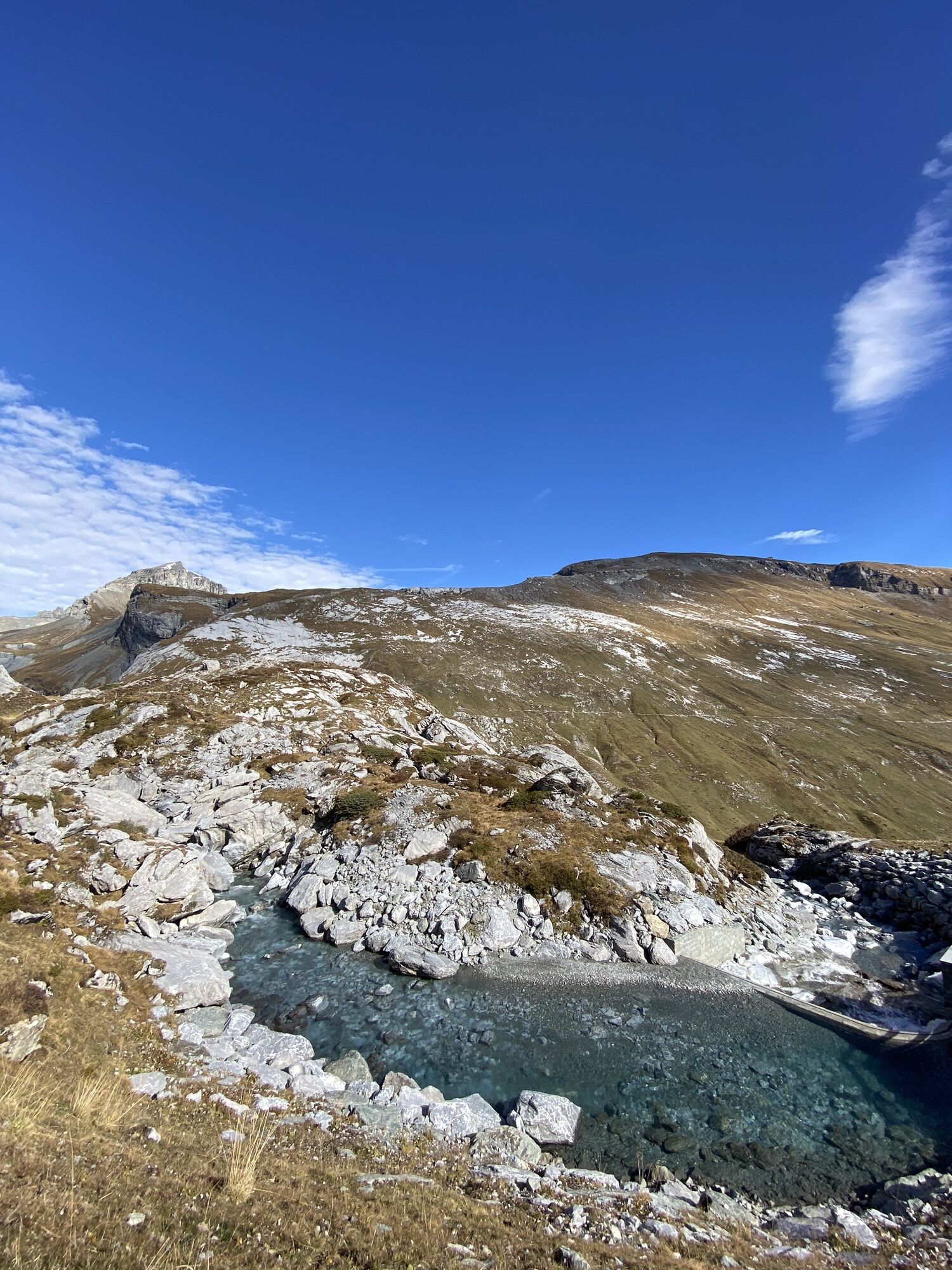
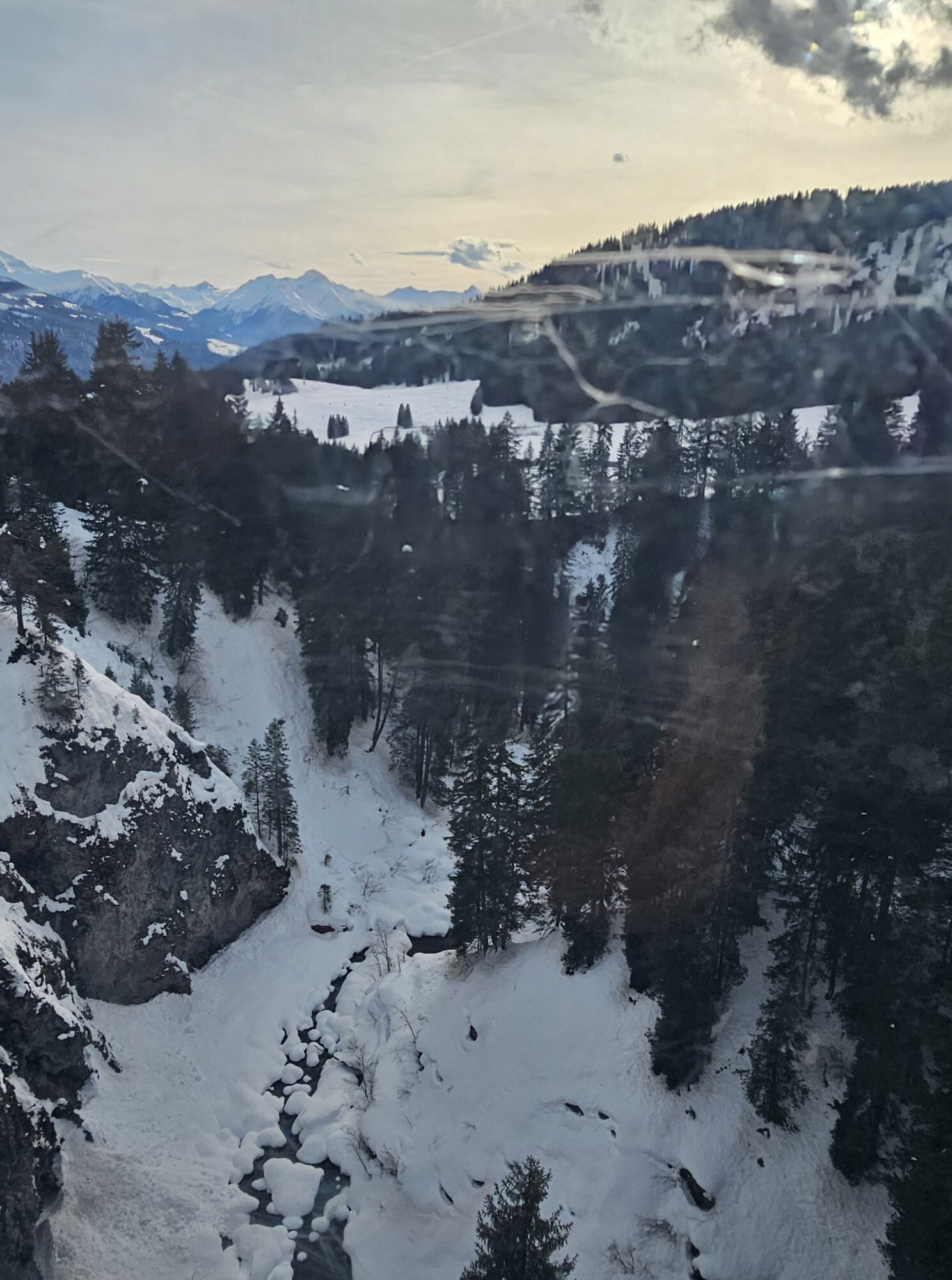
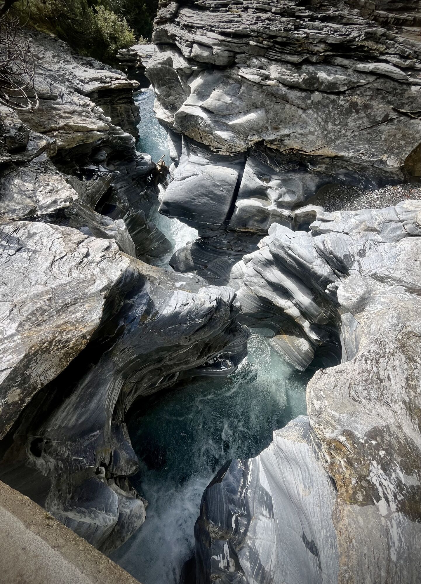
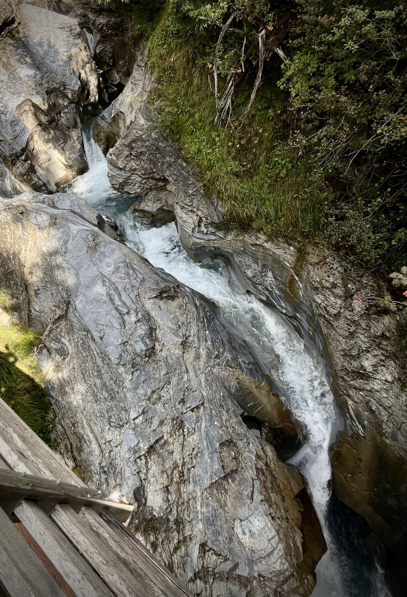
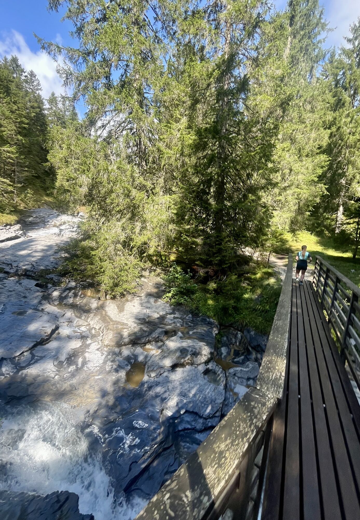
The Trutg dil Flem water trail is a demanding hiking trail that can be walked entirely or in several sections uphill or downhill. It runs along the Flims stream, the Flem, which ensures the water and power...
The Trutg dil Flem water trail is a demanding hiking trail that can be walked entirely or in several sections uphill or downhill. It runs along the Flims stream, the Flem, which ensures the water and power supply for 1,400 people. As a hiker, you not only experience the great influence of water on people but also discover the uniquely scenic marks the river has etched into the Flims rockslide area.
The starting point of the path is the waterfall at Segnesboden, which can be reached either from the mountain stations Nagens Sura, Segnes, or from the bus shuttle station Alp Nagens. From there, the path marked with hiking route 764 leads in just under 4 hours and 1260 meters of altitude difference, past the seven bridges specially designed for the water trail, down to the Flims valley station.
The hiking trail can be divided into stages through the entry and exit options Punt Prau Ault, Punt Gronda, Punt da Max, Punt Desch, Segneshütte, and Segnesboden, so the hike does not necessarily have to be done in one go, and shorter variants are also possible.


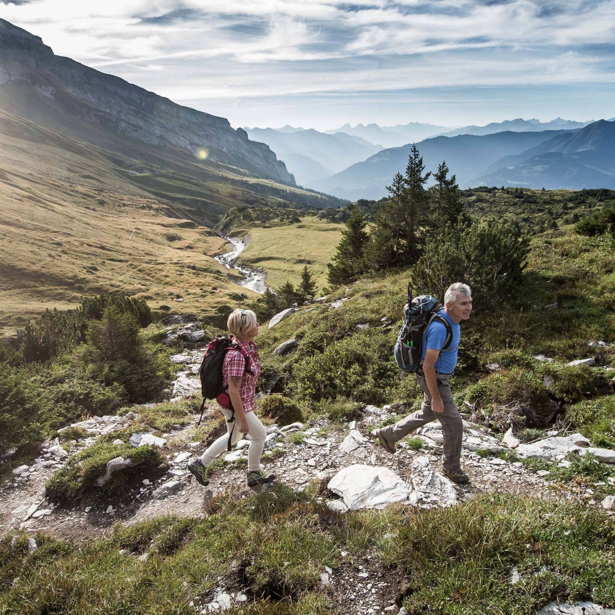


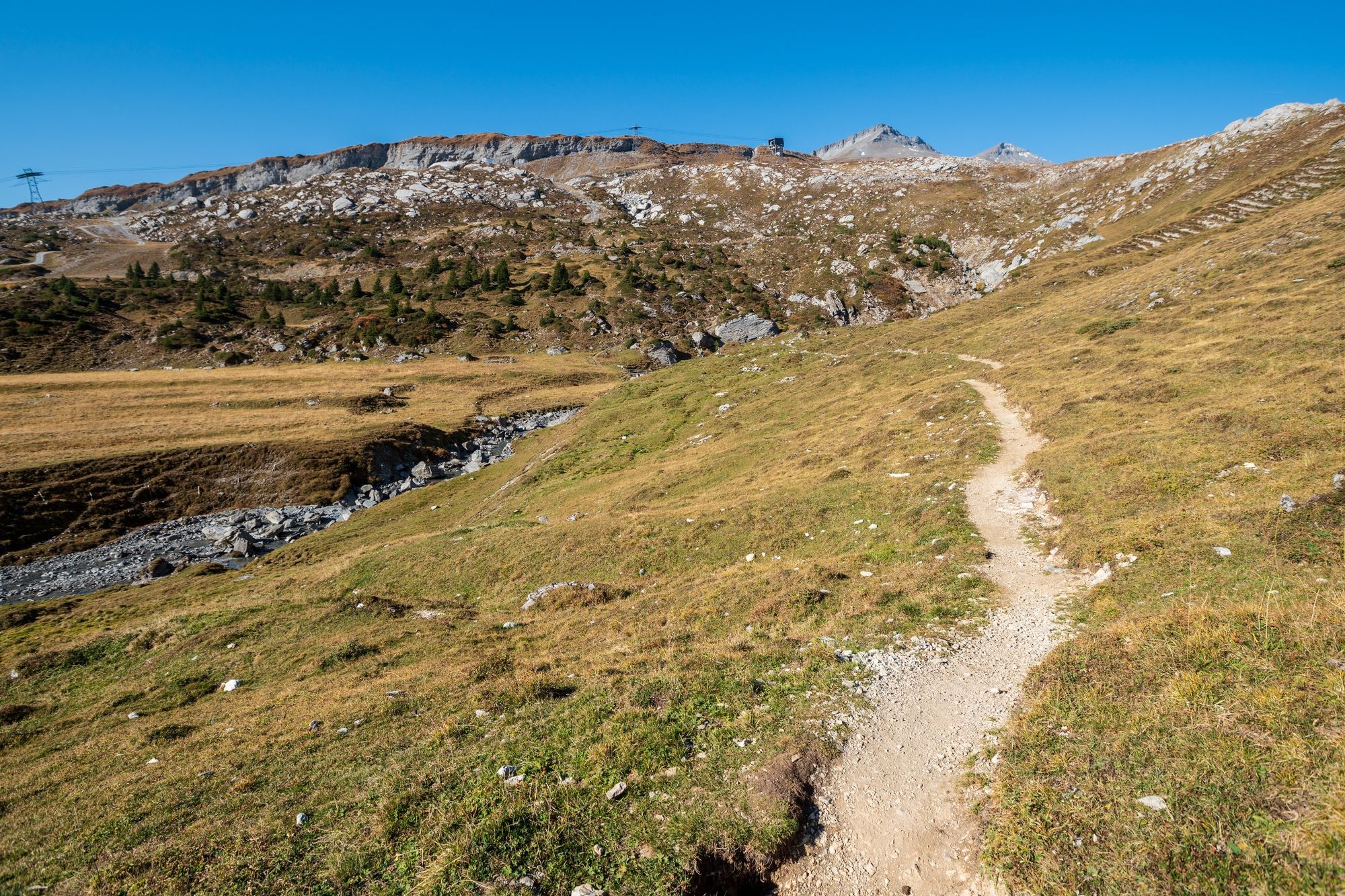




From there, we follow the course of the Flem downstream. The route is nothing like a tedious walk along a riverbank; instead, it leads sometimes right next to the river through narrow gorges and then again along the upper edge of the river valley through alpine landscapes. The highlight of the hike, however, are the bridges designed specifically for the Flims Water Trail. Thanks to them, you get to experience natural spectacles such as waterfalls, water mills and water slides up close. On these bridges, some of which are quite daring in design, you cross the Flem time and again, whilst at the same time enjoying views of the bizarre rock formations in the gorges. It is no surprise that the trail was named the best hiking trail in Switzerland in the very year it opened.
In the meadow area between Startgels and Punt Desch, you can now recognize the force with which the river has carved its way through nature. The Flem has created a gorge hidden by trees. On both sides of the gorge, two paths run. They are connected by three bridges that offer views into the otherwise inaccessible gorge with its glacial mills and rock noses.
At the Punt da Max bridge begins a section of the path that runs almost exclusively directly along the river up to the Tarschlims bridge. Unique here is the Salein water slide. For a possible rest, several small clearings near Tarschlims are suitable. Shortly after, the path crosses the Flem again over the bridge of the same name.
Another highlight awaits at the Muletg bridge. It lies at the lower end of a gorge, where on the eastern side you reach a rock summit that opens the view to two waterfalls lying side by side. Shortly after, you reach the high waterfall bridge, a natural stone bridge that crosses the river just below the waterfalls.
At the end, we reach the water worlds in Flims. The construction project serves to use the resource water in an environmentally friendly and economical way. Several facilities ensure a large part of the drinking water and power supply of the region and at the same time make unique natural phenomena, such as a karst spring, accessible to an interested public.
Uphill:
The starting point of the path is the valley station of the mountain railways in Flims. From there, the path marked with hiking route 764 leads in just under four hours and 1260 meters of altitude difference past the seven bridges specially designed for the water trail up to the waterfall on the lower Segnesboden.
Downhill:
You reach the Nagens Sura mountain station by the FlemXpress.
Nagens Sura mountain station - lower Segnesboden - Segneshütte – Startgels - Runca – Flims valley station
Mountain railways: Flims mountain railways – Nagens Sura mountain station
Nagens Shuttle: Laax mountain railways – Alp Nagens mountain station
Tak
Tak
Good mountain shoes are highly recommended.
Always carry rain protection with you.
The "Trutg dil Flem" is a narrow, demanding mountain hiking trail through the alpine region of the UNESCO World Natural Heritage "Tectonic Arena Sardona" with slope traverses, bridges, and footbridges over flowing water. Surefootedness is required on the white-red-white marked trail.
Therefore, note the following:
Always supervise children. For small children, we recommend the following sections: Startgels to Foppa or from Foppa to the village center.
There are catering options along the entire route (Segneshütte, Startgels).
By car via A13 motorway from Zurich, exit 18 Flims.
Stop: Flims mountain railway
By post bus from Chur, or the local bus Flims Laax Falera
750 paid parking spaces in the Flims mountain railway car park.
T2
Visitor Information Flims Laax Falera
Via Nova 62
CH-7017 Flims
Tel: +41 (0)81 920 92 00
E-mail: info@flimslaax.com
Internet: www.flimslaax.com
Take provisions and have a picnic in nature. An uphill hike is also easily possible.
It is also possible to complete only individual parts of the Trutg dil Flem – you can easily get on or off at the intermediate stations of the mountain railway sections.
 Uzyskaj wgląd
Zawsze na żywo z ponad 9 500 kamer internetowych. bergfex Jako użytkownik Pro, możesz teraz zobaczyć odpowiednie kamery internetowe dla wielu wycieczek w aplikacji wycieczki od. Pozwala to na bezpośredni podgląd aktualnych warunków.
Uzyskaj wgląd
Zawsze na żywo z ponad 9 500 kamer internetowych. bergfex Jako użytkownik Pro, możesz teraz zobaczyć odpowiednie kamery internetowe dla wielu wycieczek w aplikacji wycieczki od. Pozwala to na bezpośredni podgląd aktualnych warunków.
Popularne wycieczki w okolicy
-
4,5
4-lake hike: Caumasee - Crestasee - Felsbach Gorge
średniWędrówka 12,8 km -
4,8
Rheinschlucht: From Ilanz to Versam into the heart of the Rheinschlucht
średniWędrówka 11,4 km -
4,8
Rhine Gorge Hike: Senda Ruinaulta (659)
światłoWędrówka 9,39 km -
5,0
Caumasee tour: Flims - Caumasee - Conn - Flims
światłoWędrówka 7,94 km -
4,7
Mountain hike to the Strudeltöpfe on Alp Mora: Bargis-Trin
ciężkiWędrówka 18 km -
5,0
Lower Segnesboden: Nagens Sura - Lower Segnesboden - Segnes hut - Alp Nagens
średniWędrówka 6,66 km -
4,5
St. Martin - Alp Sardona - St. Martin
średniWędrówka 14,2 km -
4,3
Circular hike: Falera-Curnius-Alp Dadens-Falera
średniWędrówka 11,4 km -
3,0
Tour zum Martinsloch
ciężkiWędrówka 3,82 km -
5,0
Circular route: Lake Cauma - Rhine Gorge "Swiss Grand Canyon"
średniWędrówka 19,8 km

Wędrówki i tropienie


Nie przegap ofert i inspiracji na następne wakacje
Twój adres e-mail została dodana do listy mailingowej.





