







Circular hike: Falera-Curnius-Alp Dadens-Falera

Poziom trudności: T2
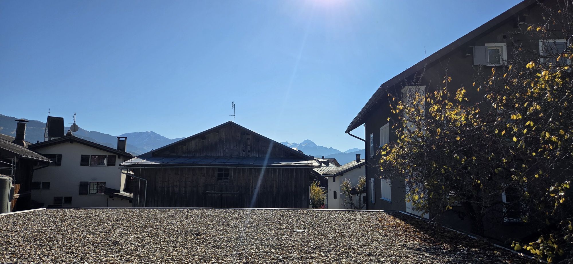
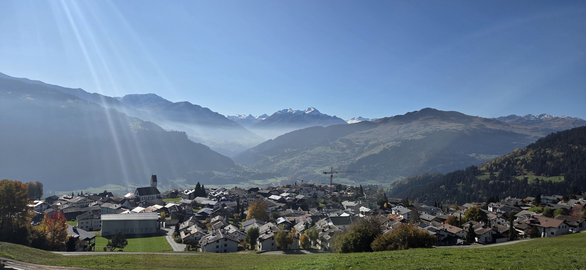
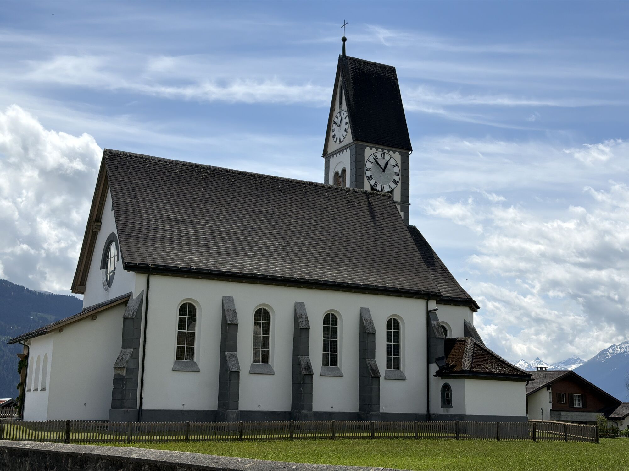
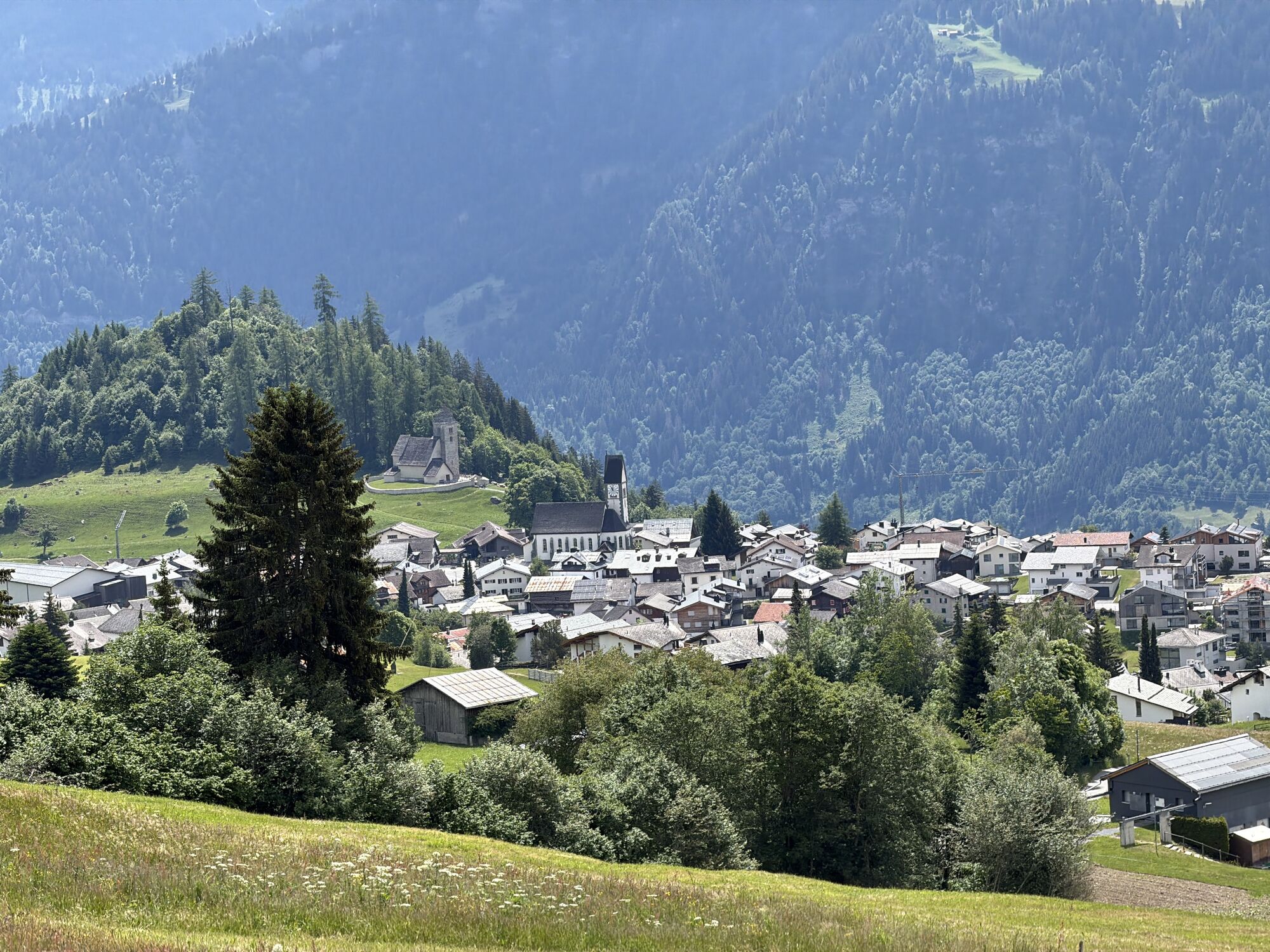
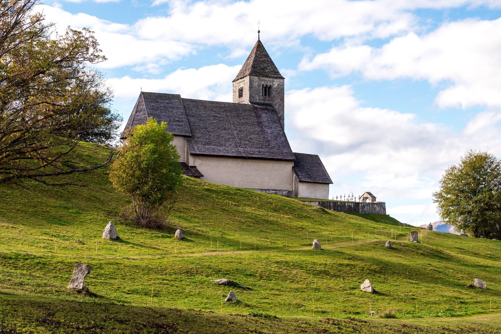
Of the three Alpine Arena villages, Falera is the quietest, and not only sports enthusiasts can be found here: Falera attracts visitors with a mysterious Stone Age site, the Parc la Mutta, which is worth...
Of the three Alpine Arena villages, Falera is the quietest, and not only sports enthusiasts can be found here: Falera attracts visitors with a mysterious Stone Age site, the Parc la Mutta, which is worth a visit for its location alone.
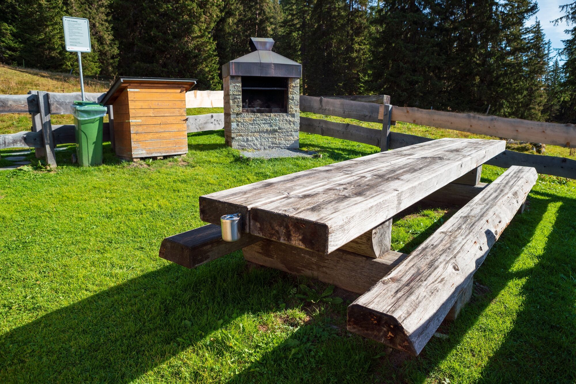
From the PostBus stop, the path leads towards Curnius. During the ascent, you pass Maiensäss huts and mountain meadows. It continues to Alp Dadens, past a fire pit at 1756 m above sea level. The descent to Falera is very well marked on the mountain hiking trail, allowing you to relax and enjoy the beautiful view of the Signina group and the Rhine Gorge. You pass fragrant mountain meadows again down to Falera.
The mountain hike can be shortened depending on desire and condition with the Falera chairlift.
Observe operating hours: www.flimslaax.com/oeffnungszeiten-tickets






Falera - Curnius - Alp Dadens - Falera
Tak
Good mountain boots and rain protection are highly recommended.
Always supervise children.
By car via highway A13 from Zurich, exit 18 Flims, continue to Laax and past the lake to Falera
Train to Chur, PostBus to Laax, PostBus from Laax to Falera
Parking lot at the beginning of the village
T2
Guest Information Flims Laax Falera
Via Nova 62
CH-7017 Flims
Tel: +41 (0)81 920 92 00
E-mail: info@flimslaax.com
Web: www.flimslaax.com
Visit the little brasserie Tegia Sut.


Kamery internetowe z trasy


Popularne wycieczki w okolicy
-
4,9
Rheinschlucht: From Ilanz to Versam into the heart of the Rheinschlucht
średniWędrówka 11,4 km -
4,4
4-lake hike: Caumasee - Crestasee - Felsbach Gorge
ciężkiWędrówka 13,3 km -
4,8
Rhine Gorge Hike: Senda Ruinaulta (659)
światłoWędrówka 9,39 km -
4,8
Mountain hike to the Strudeltöpfe on Alp Mora: Bargis-Trin
ciężkiWędrówka 18 km -
4,7
The Water Trail: Trutg dil Flem 764
ciężkiTrasa tematyczna 8,56 km -
5,0
High valley Val Frisal
ciężkiWędrówka 12,4 km -
5,0
Lower Segnesboden: Nagens Sura - Lower Segnesboden - Segnes hut - Alp Nagens
średniWędrówka 6,66 km -
5,0
Caumasee tour: Flims - Caumasee - Conn - Flims
światłoWędrówka 7,94 km -
4,5
St. Martin - Alp Sardona - St. Martin
średniWędrówka 14,2 km -
4,3
Historic Pinut via ferrata
średniVia ferrata 5,82 km

Wędrówki i tropienie


Nie przegap ofert i inspiracji na następne wakacje
Twój adres e-mail została dodana do listy mailingowej.





