






Lower Segnesboden: Nagens Sura - Lower Segnesboden - Segnes hut - Alp Nagens

Poziom trudności: T2
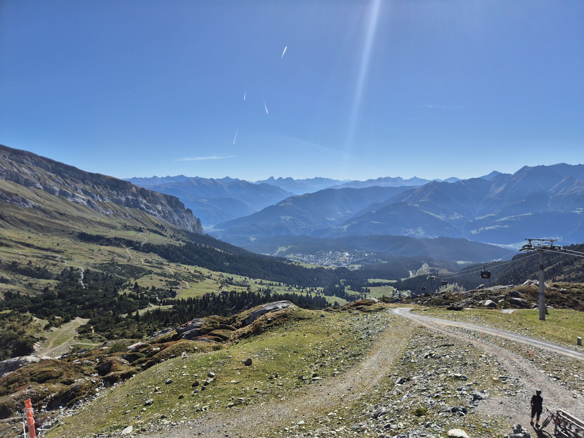
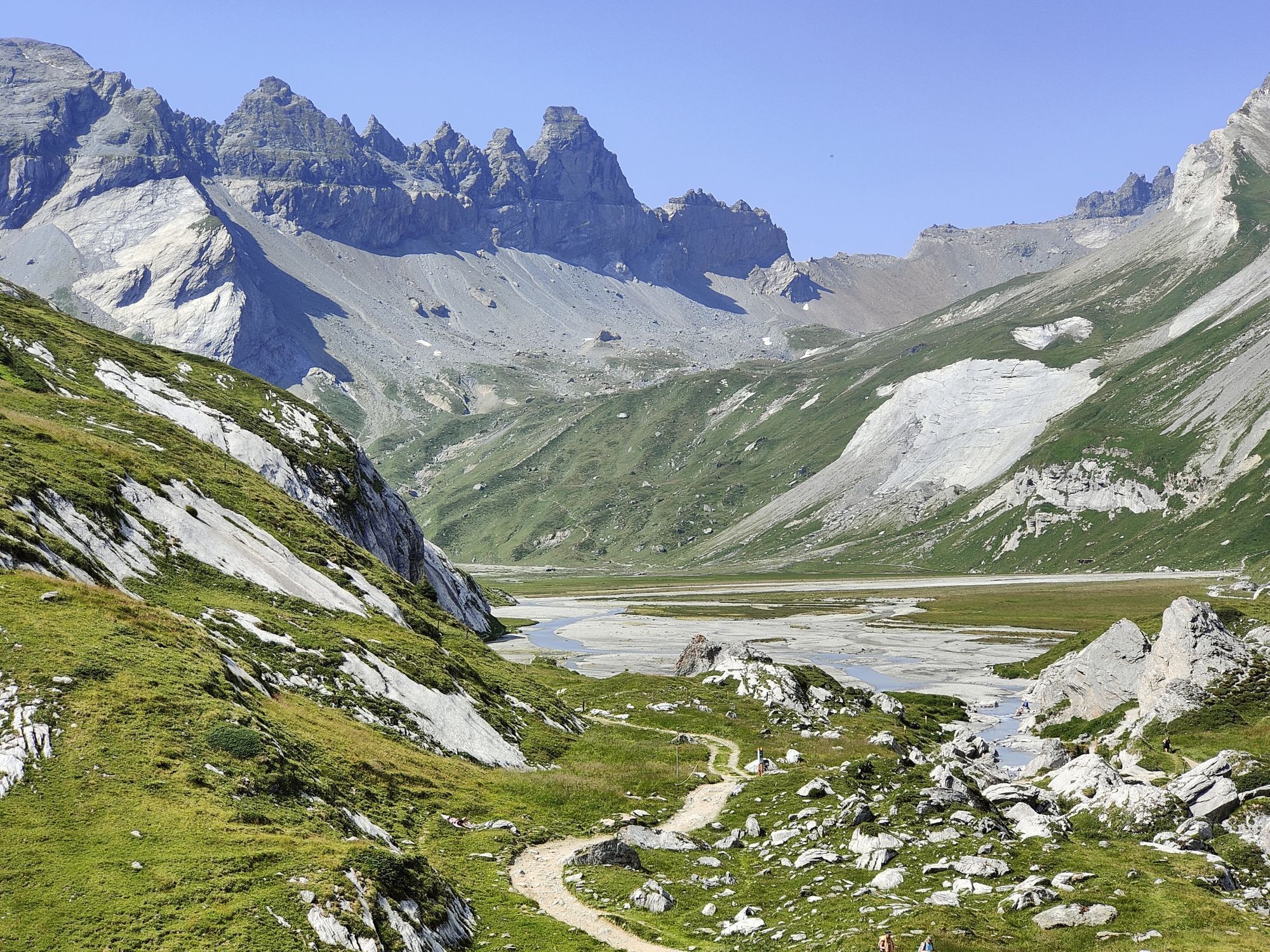
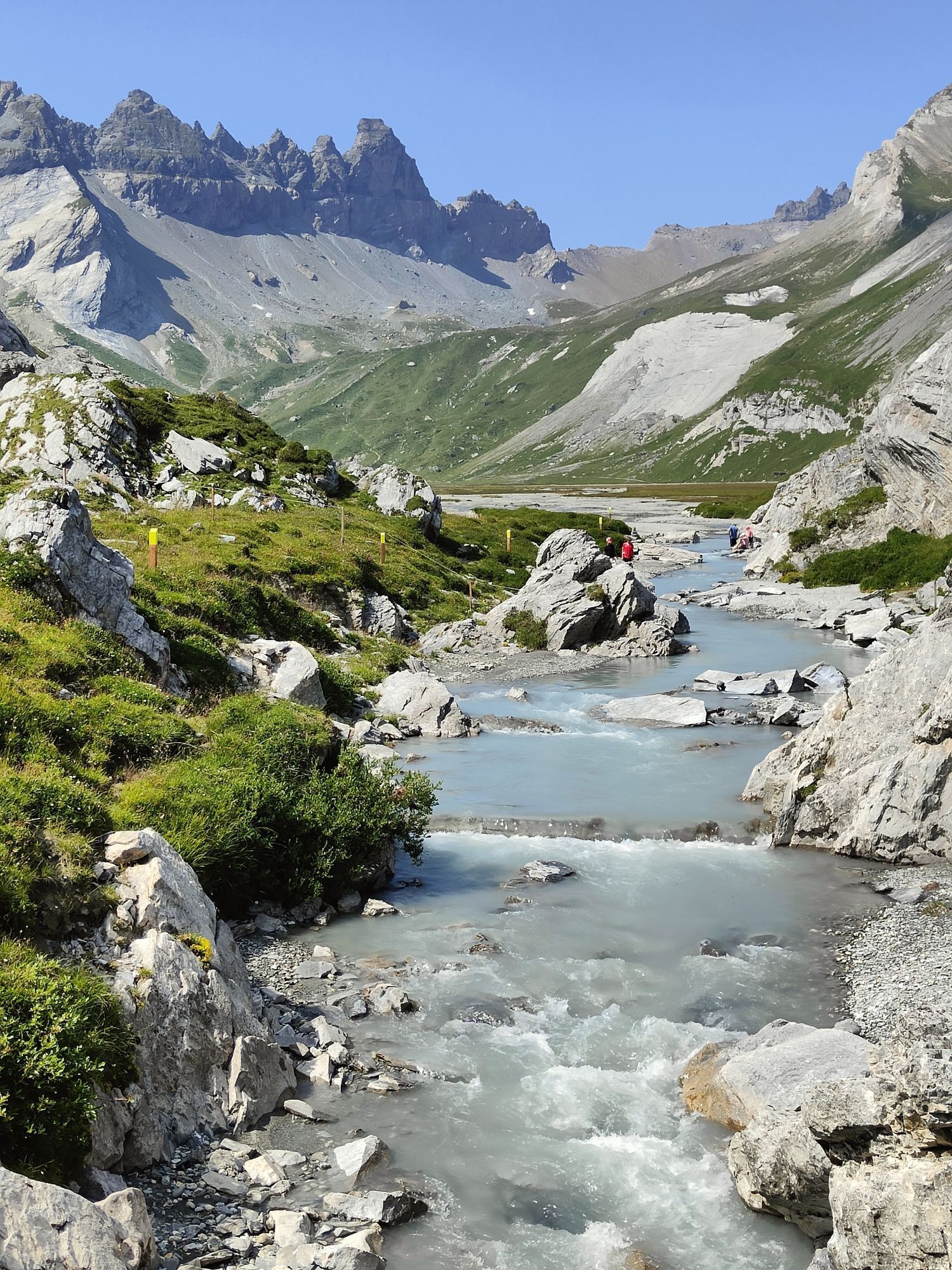
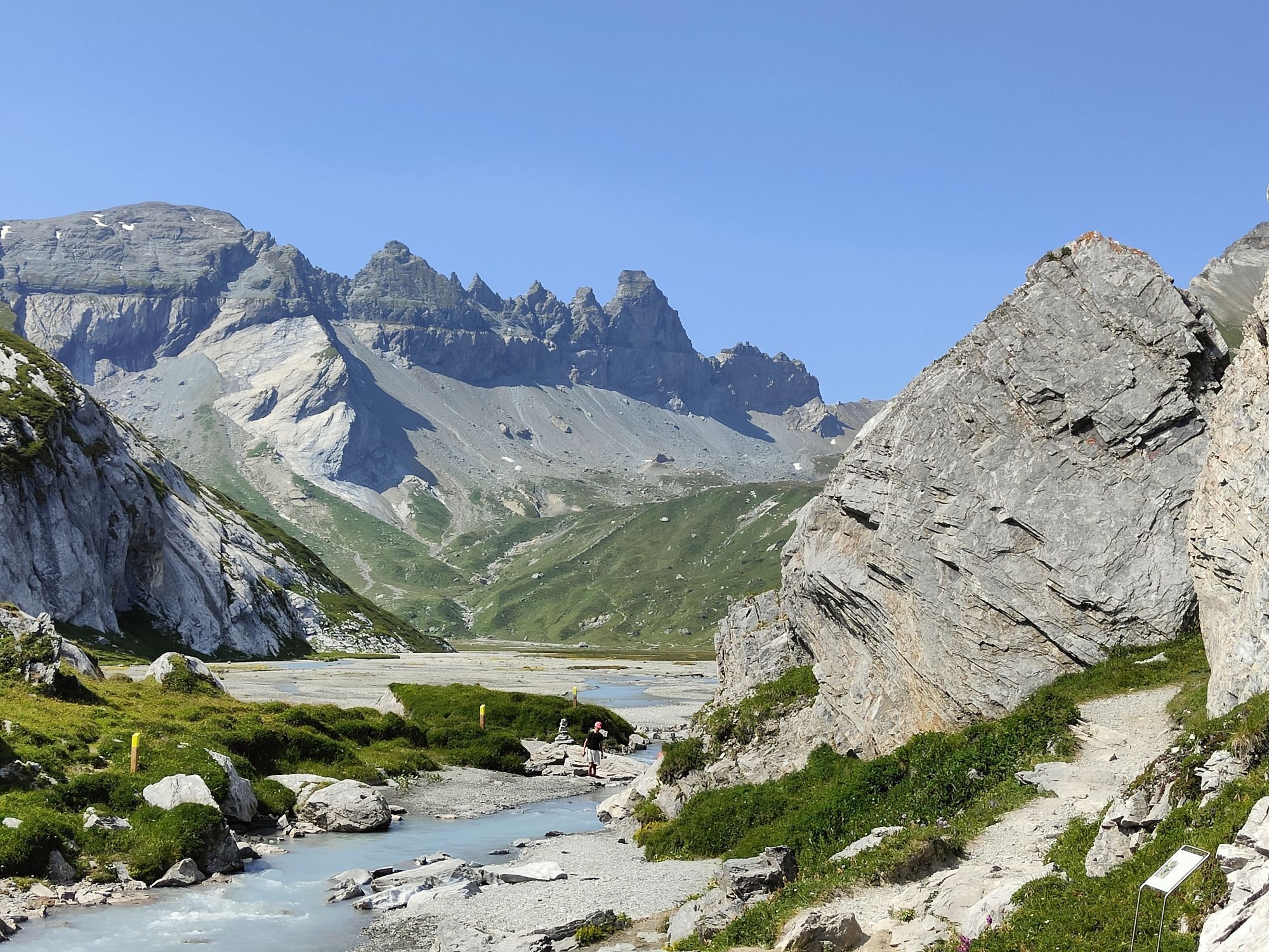
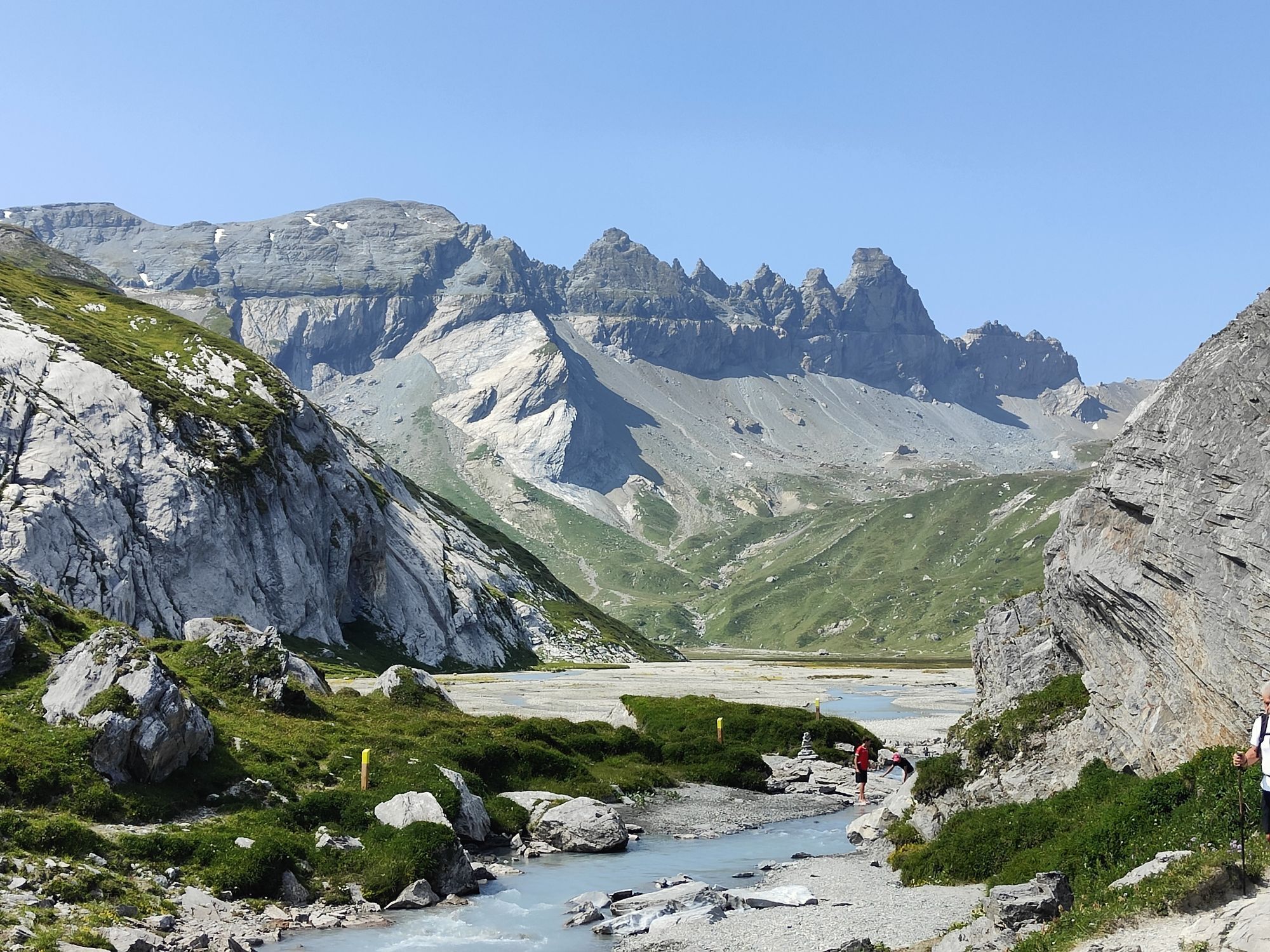
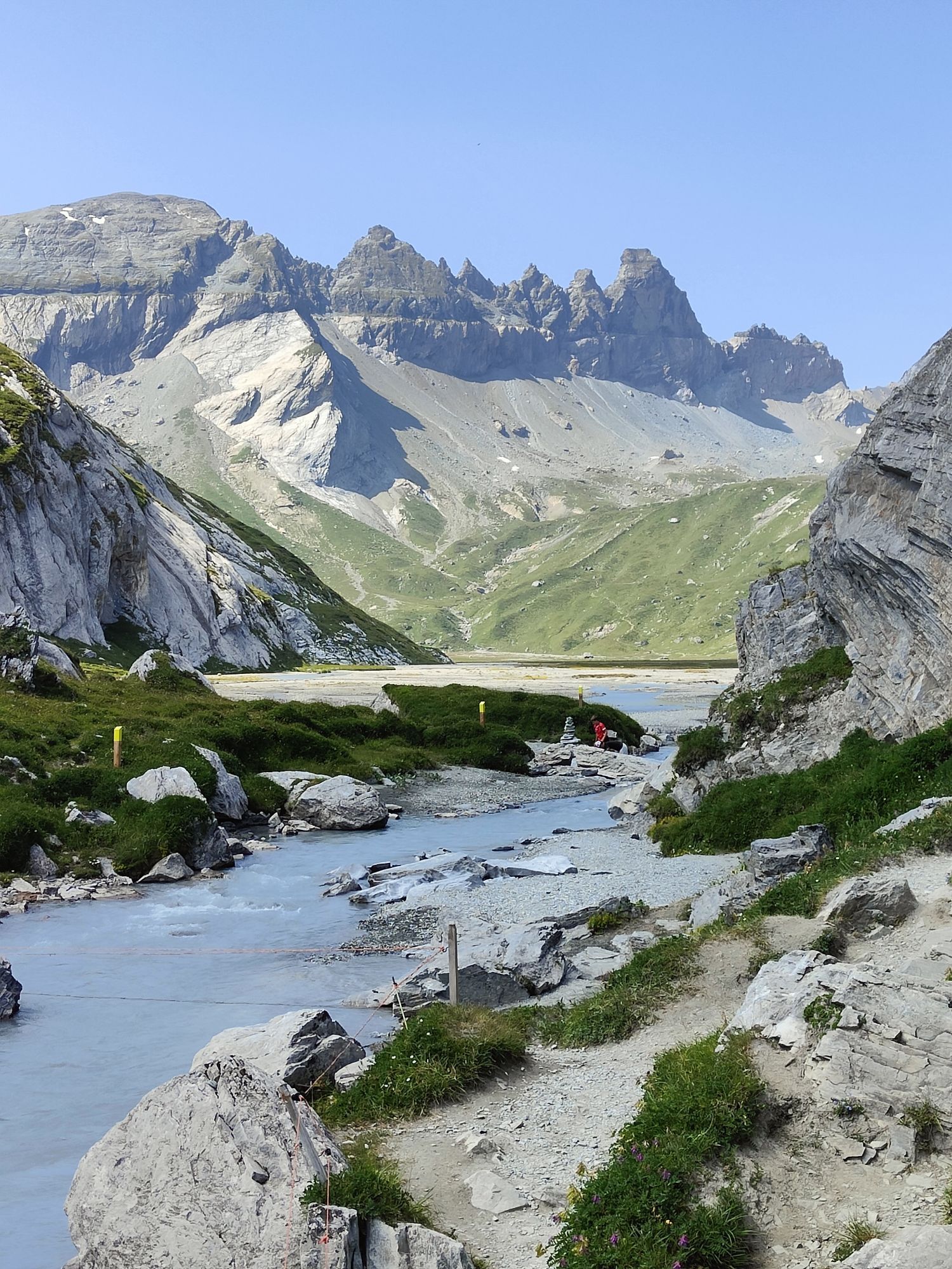
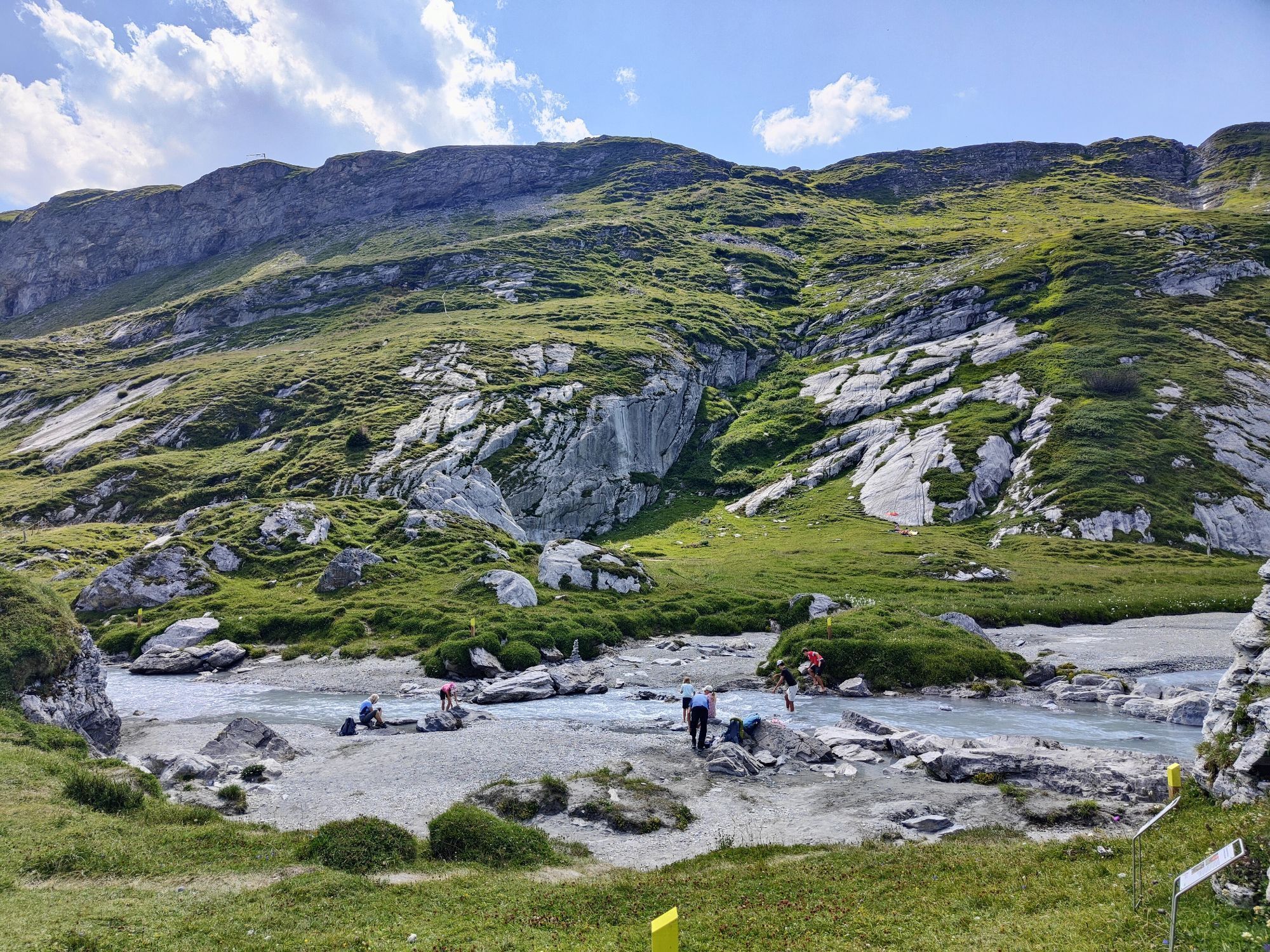
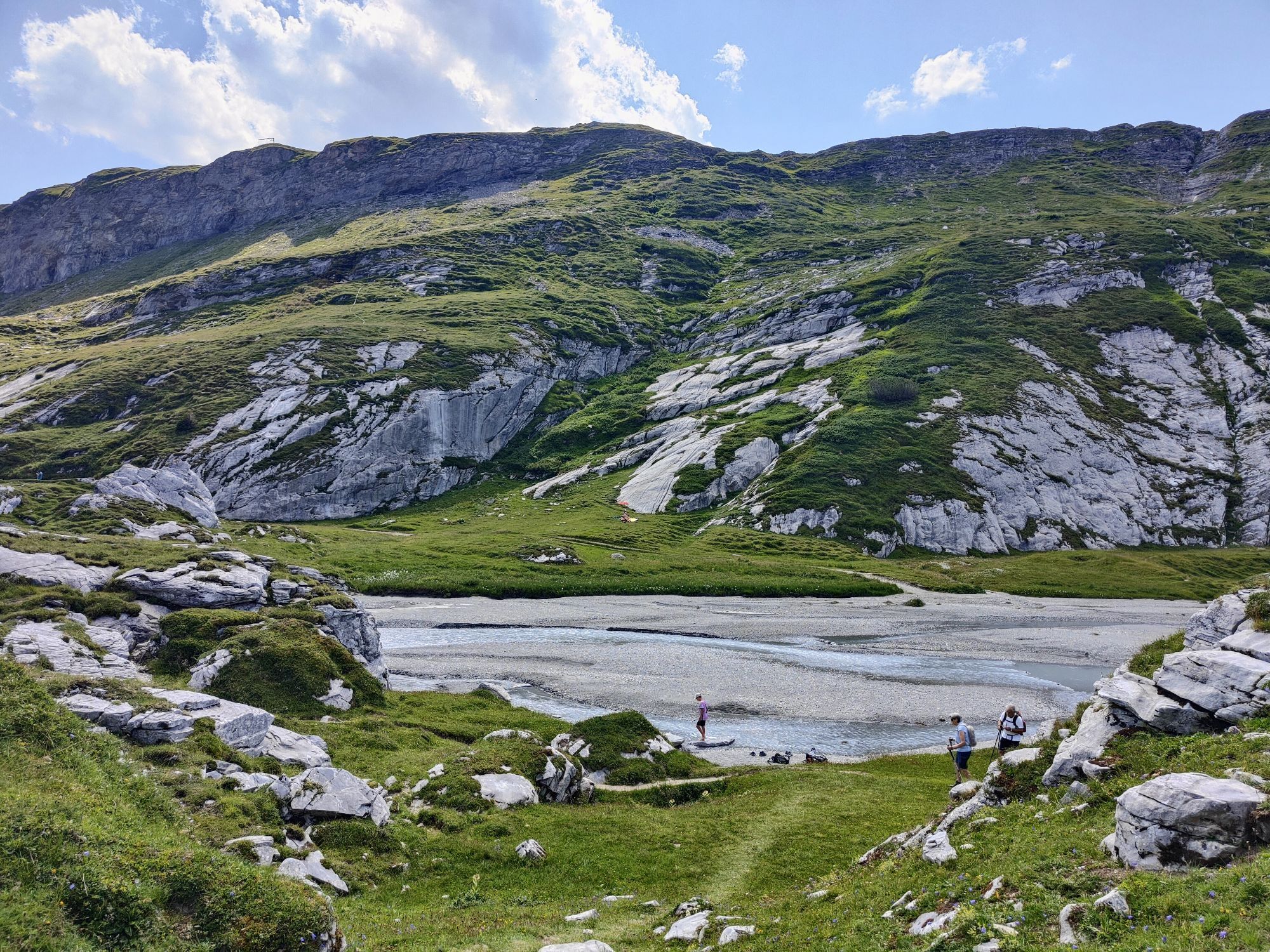
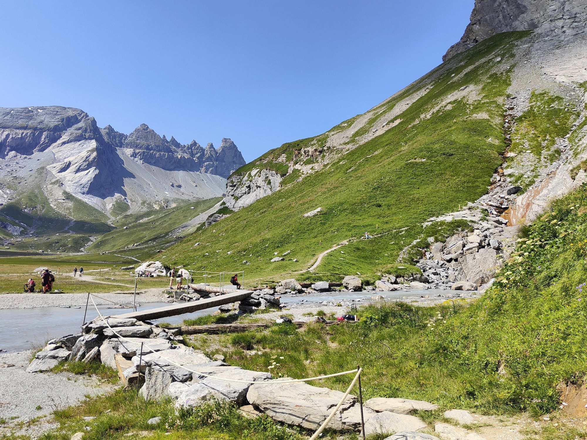
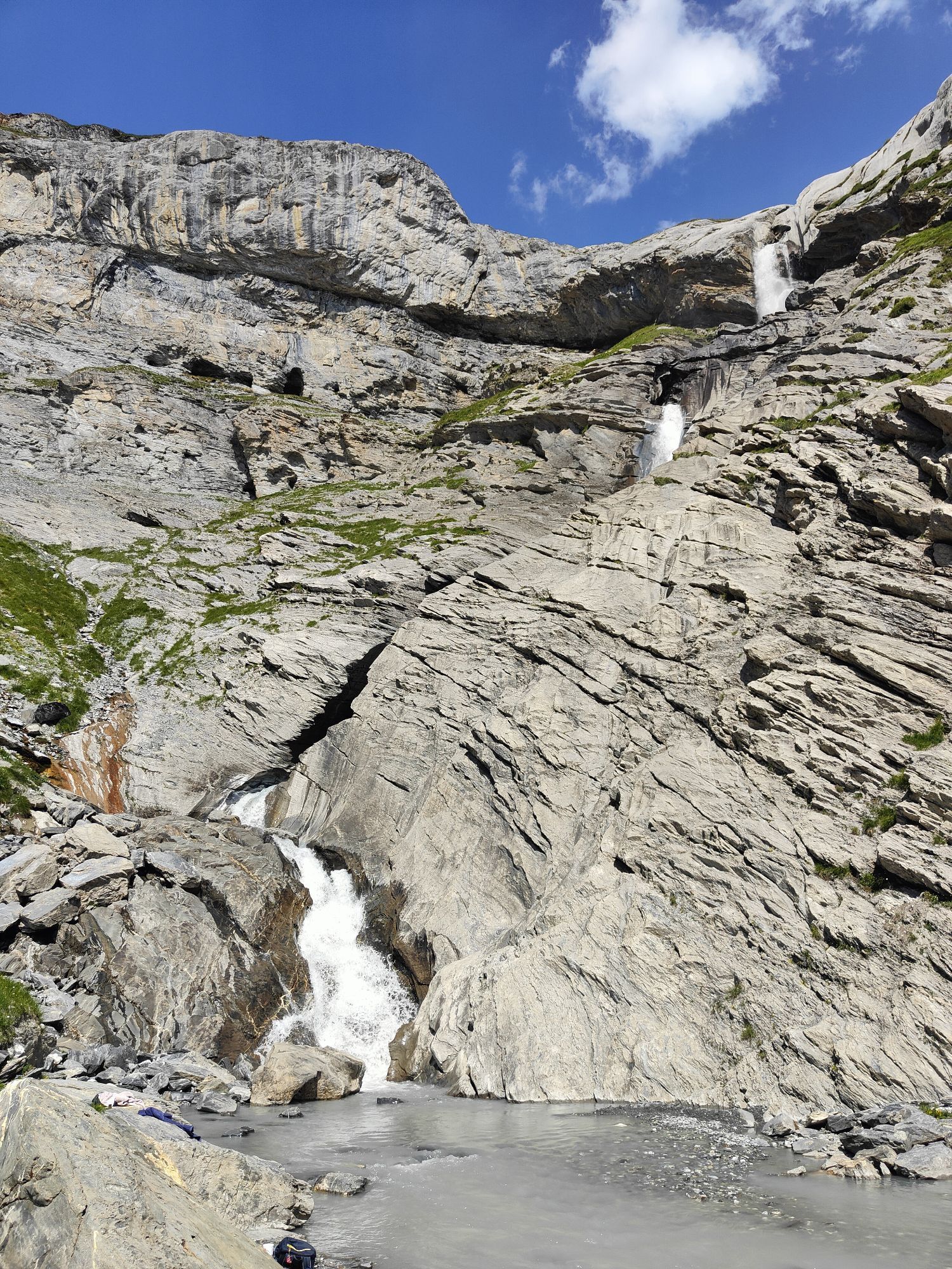
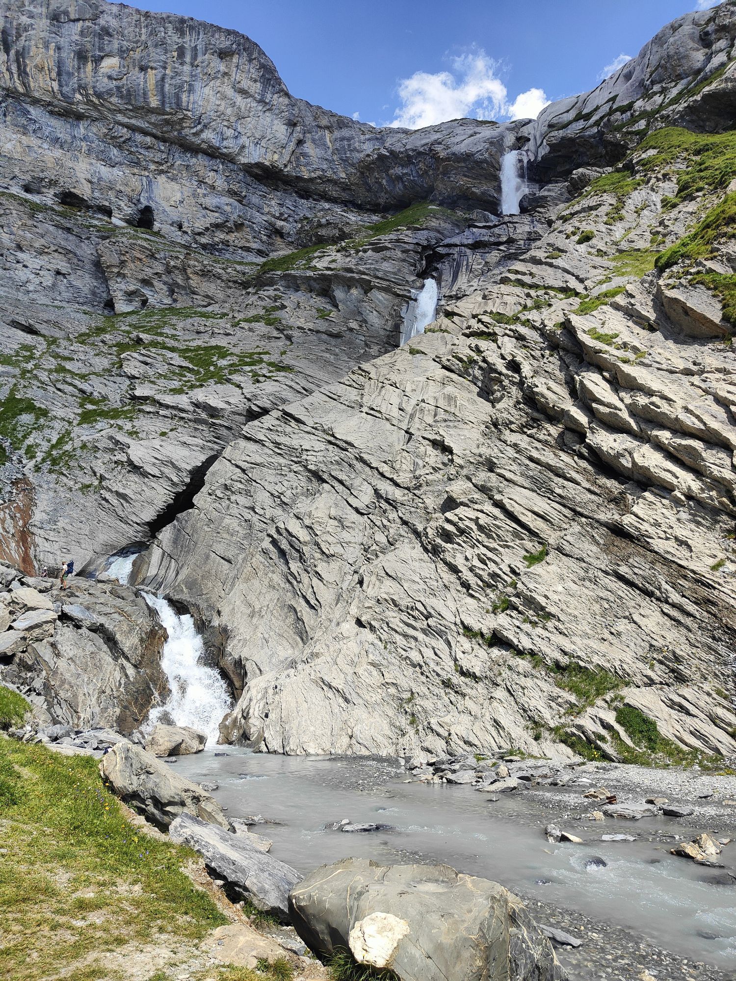
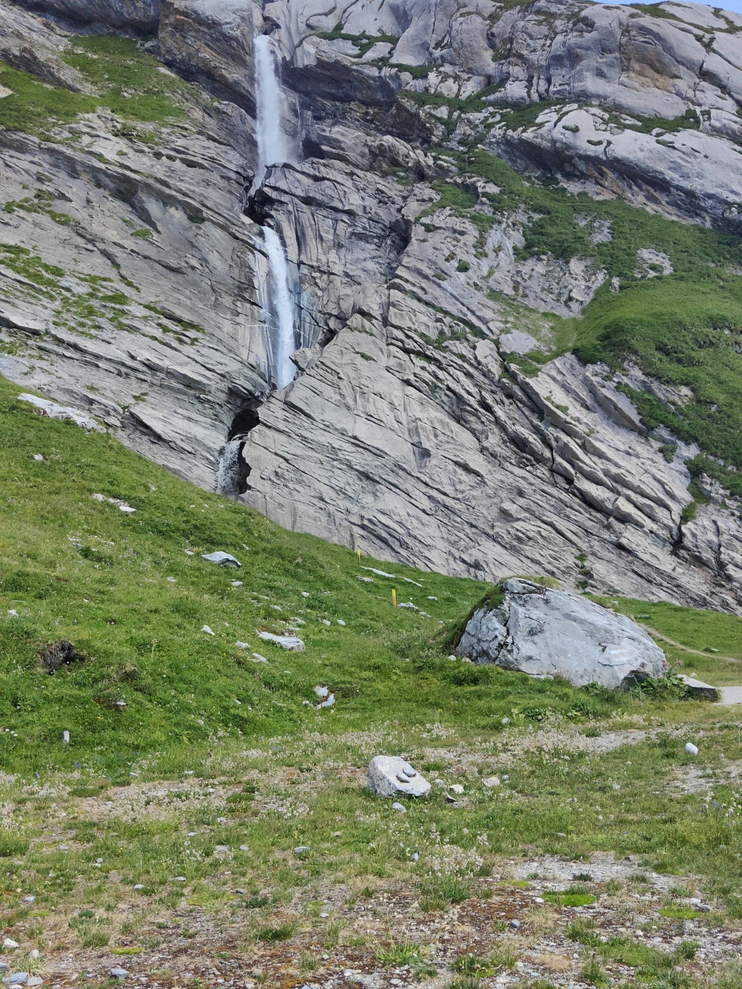
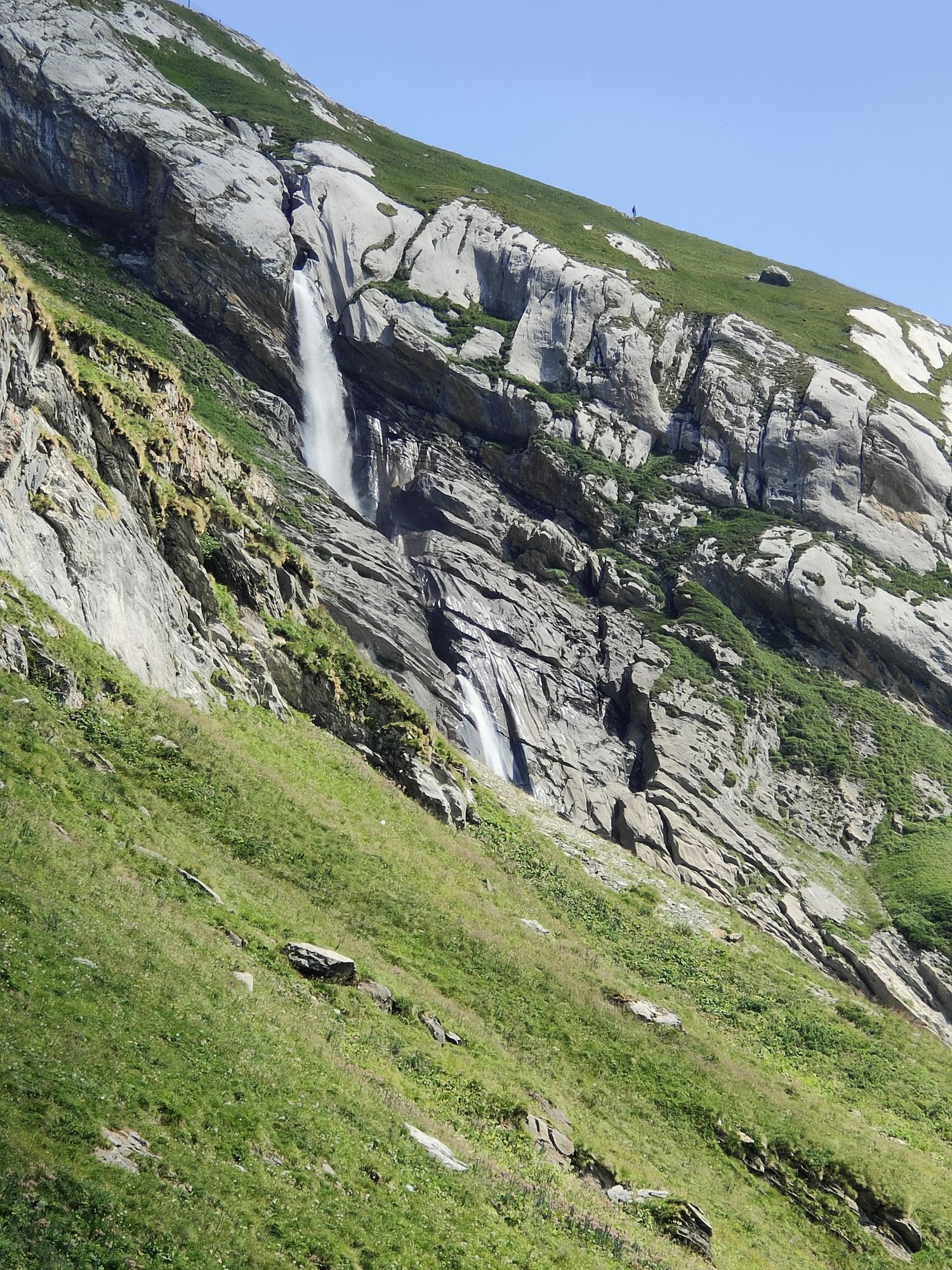
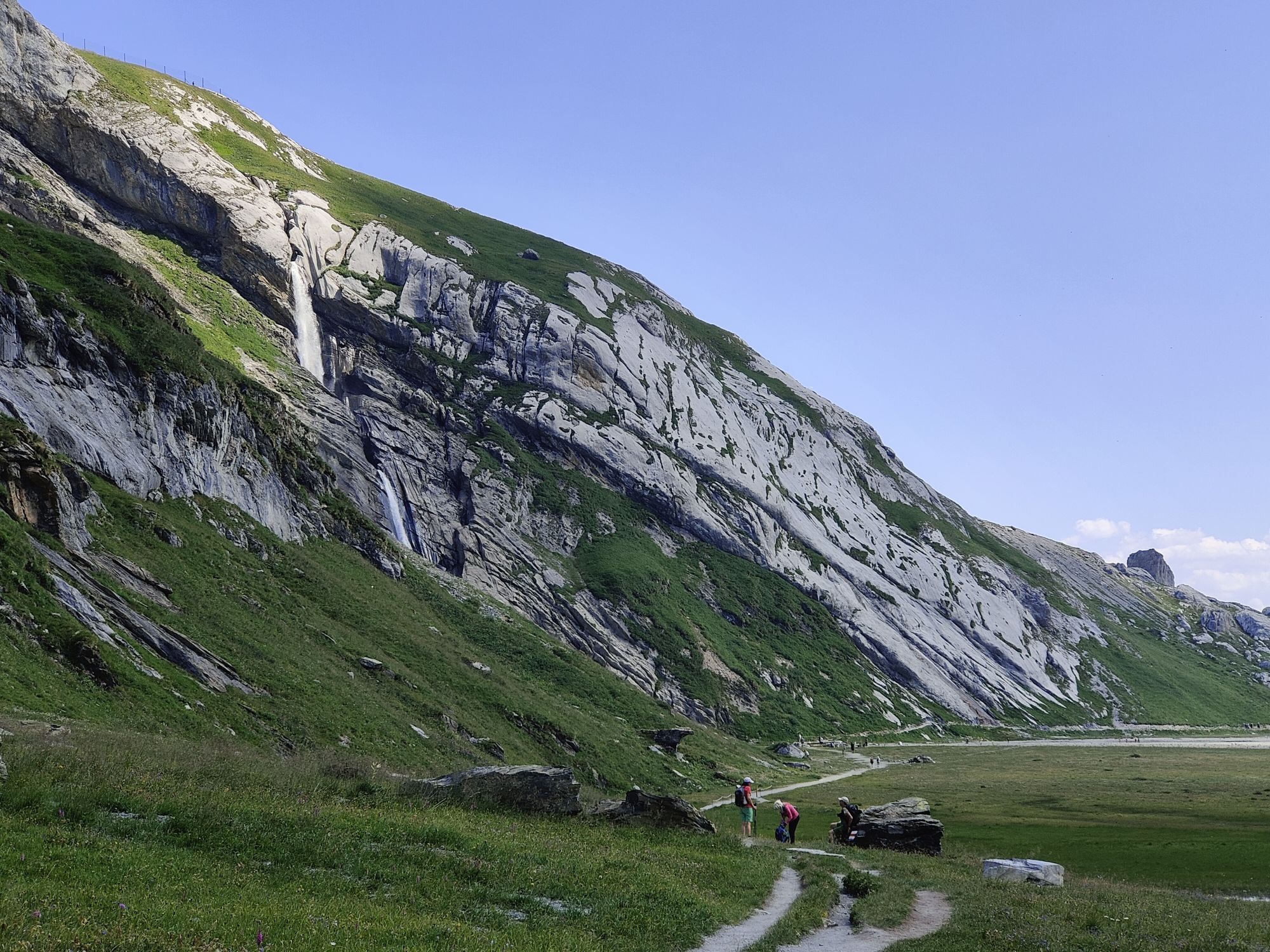
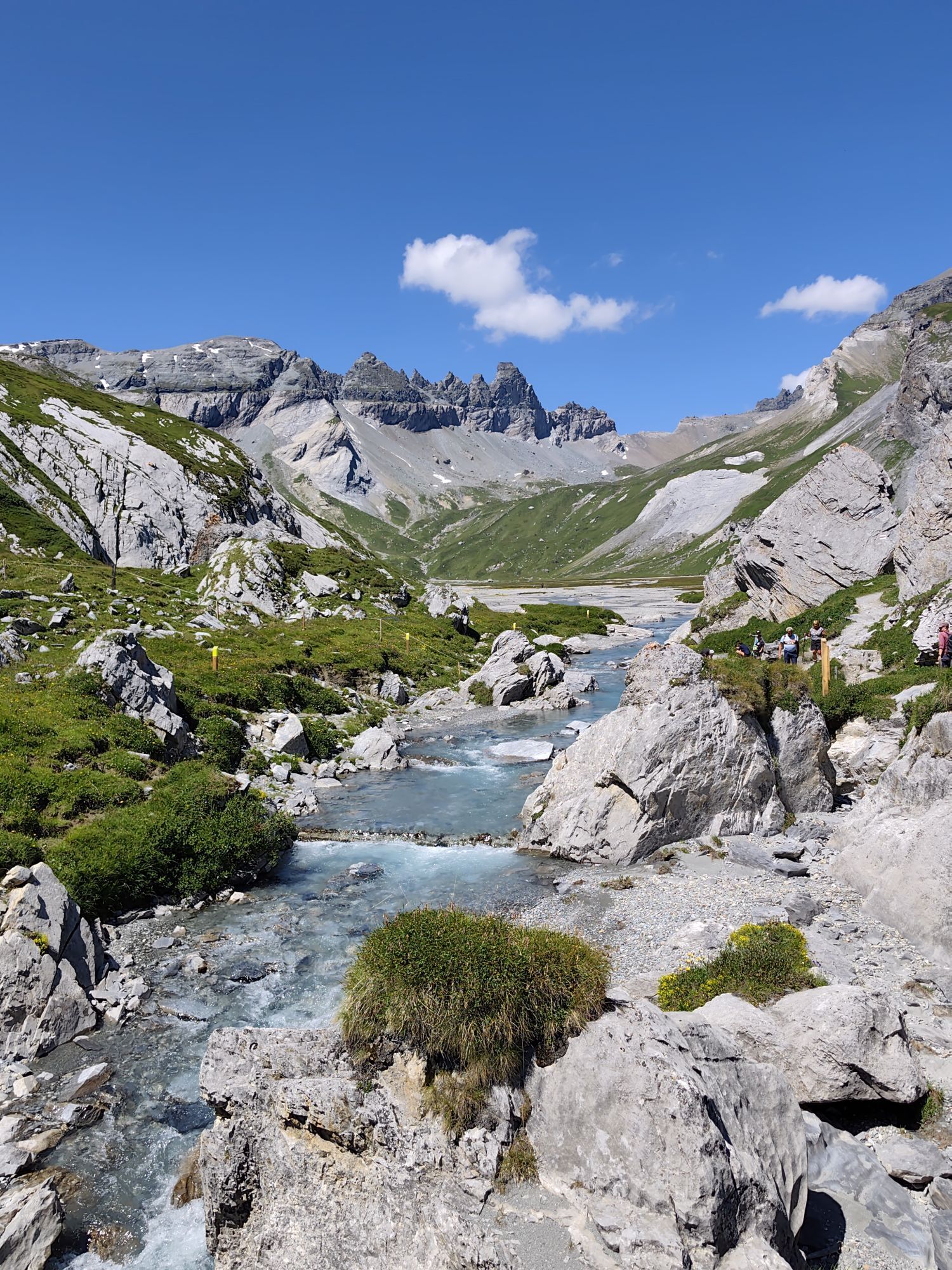
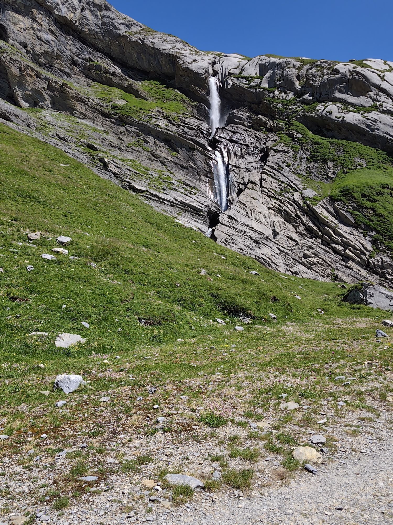
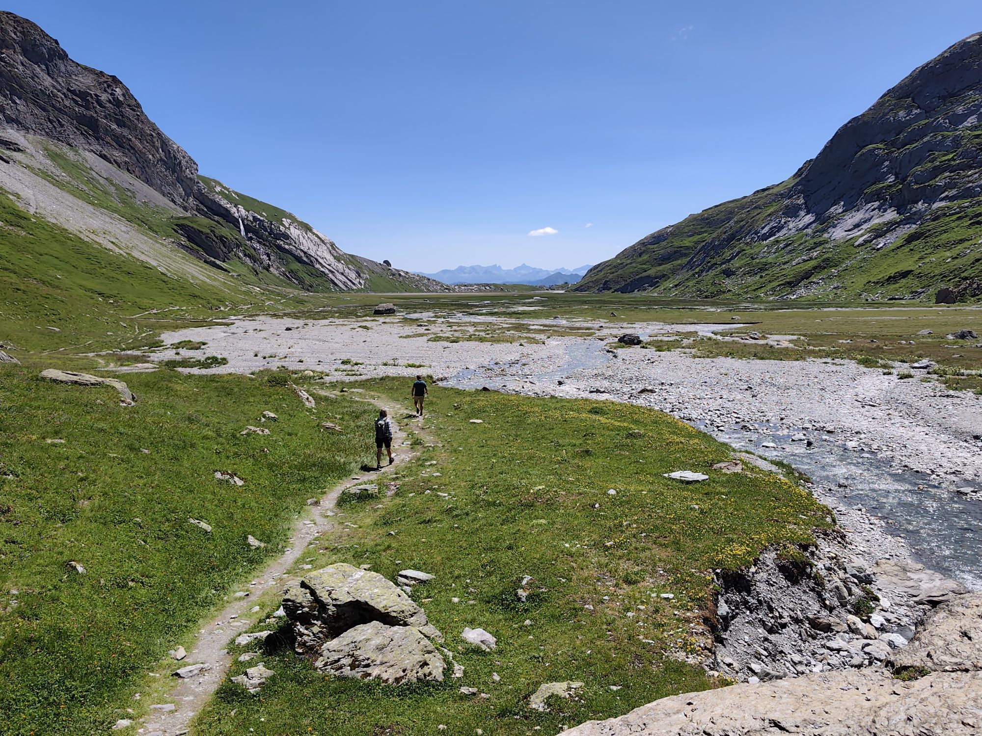
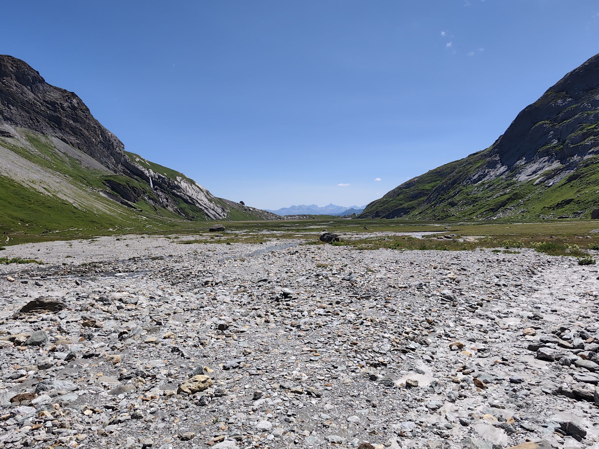
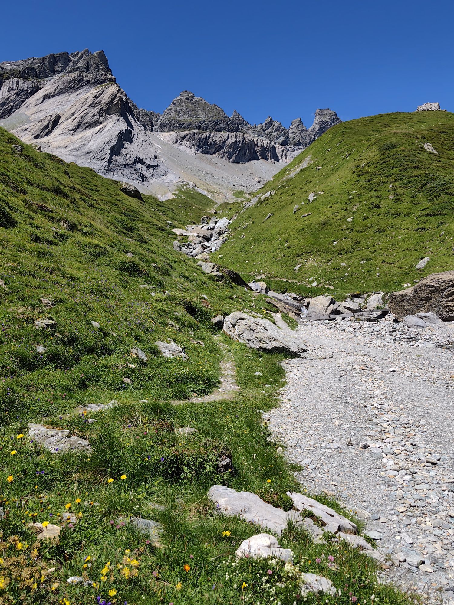
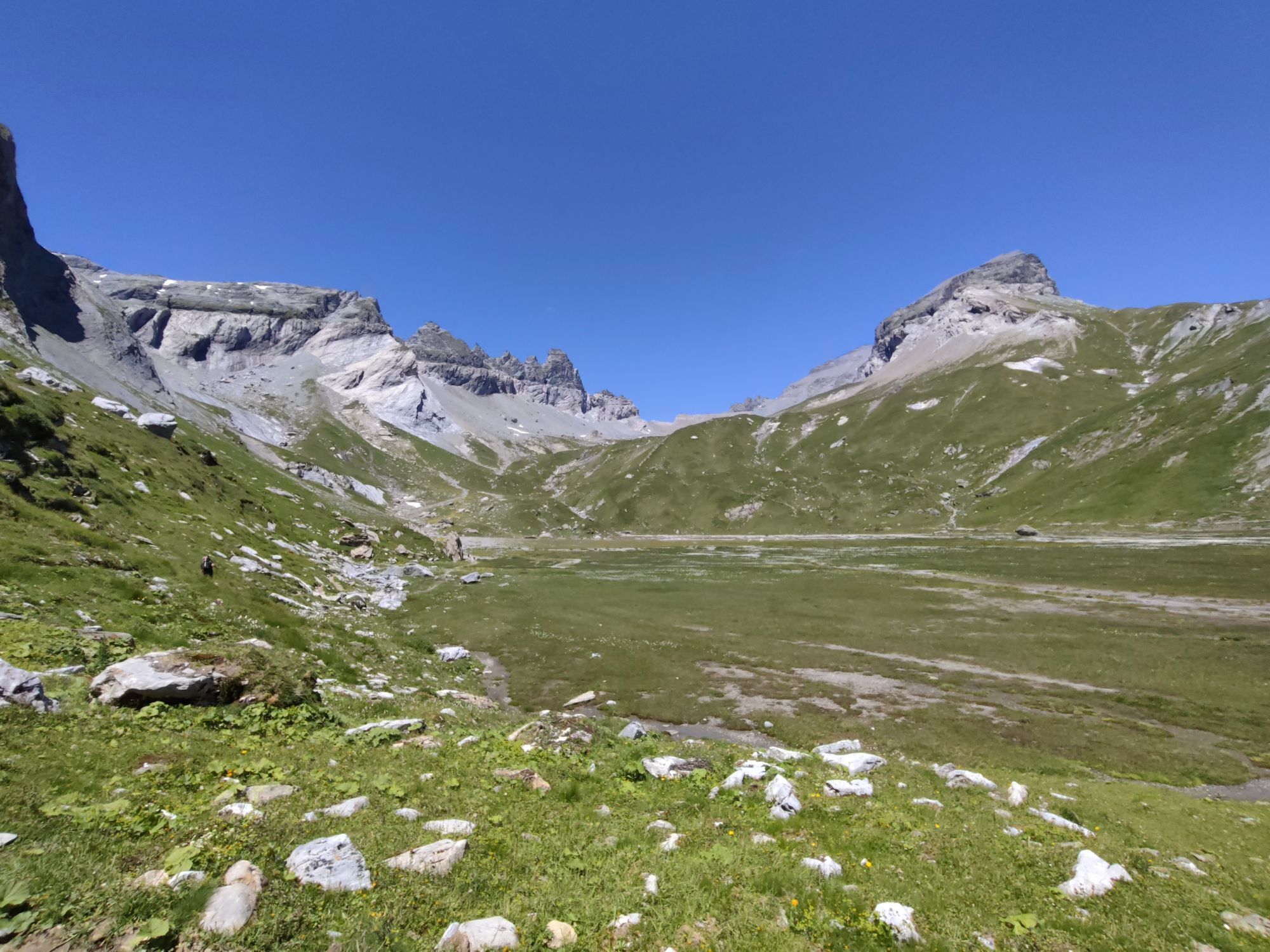
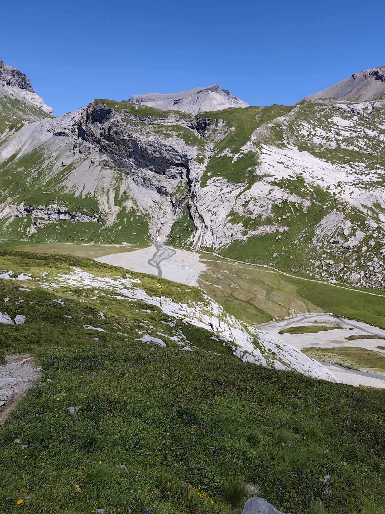
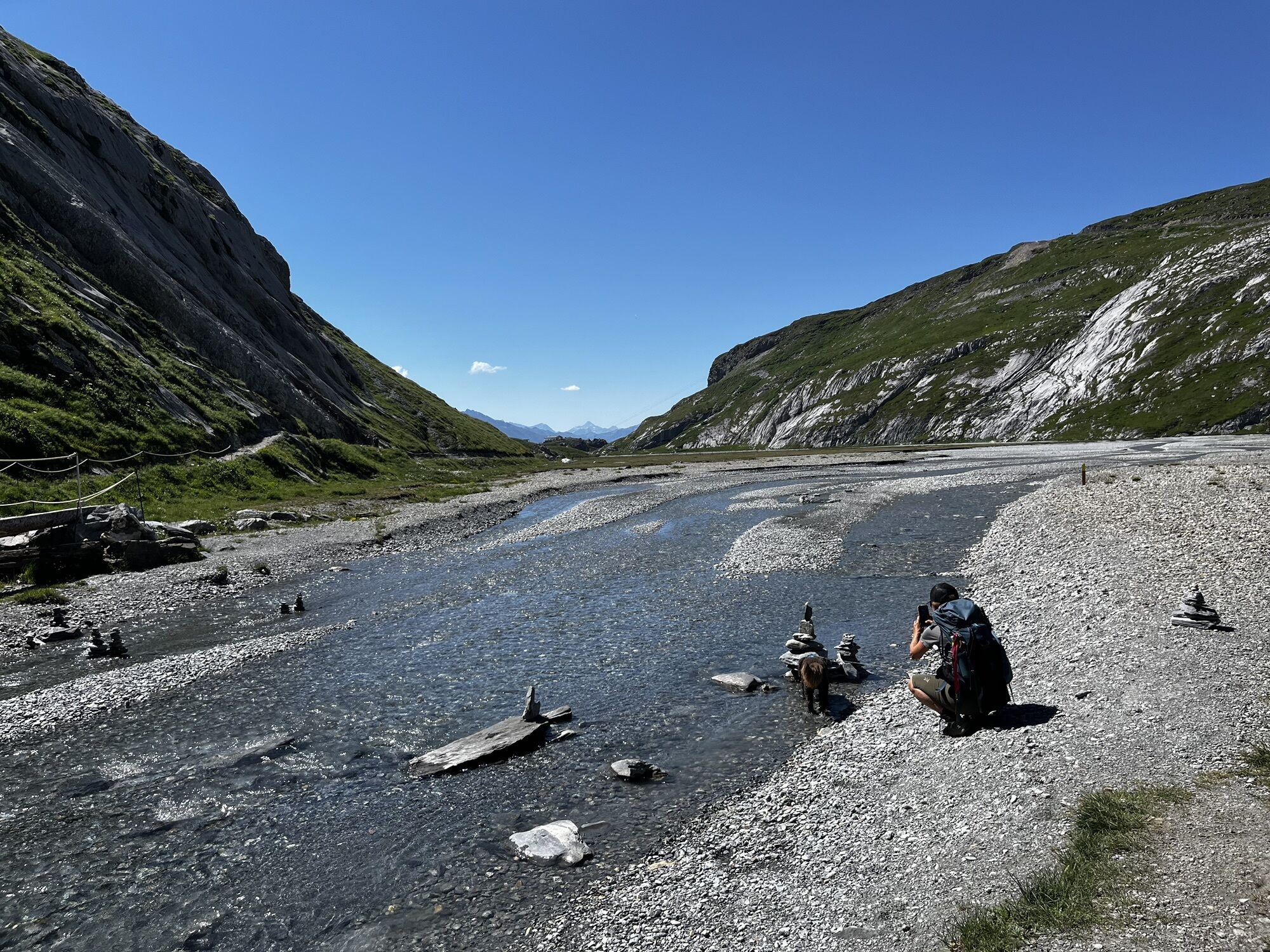
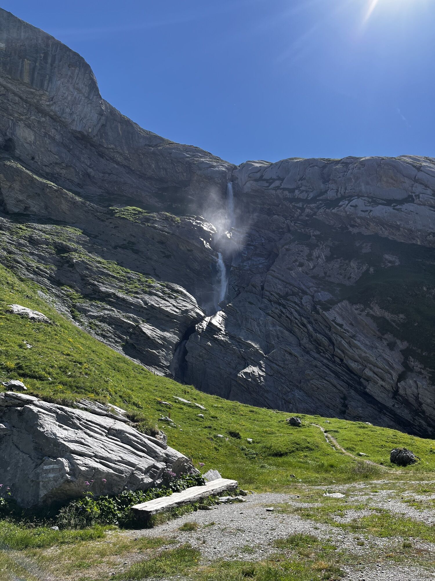
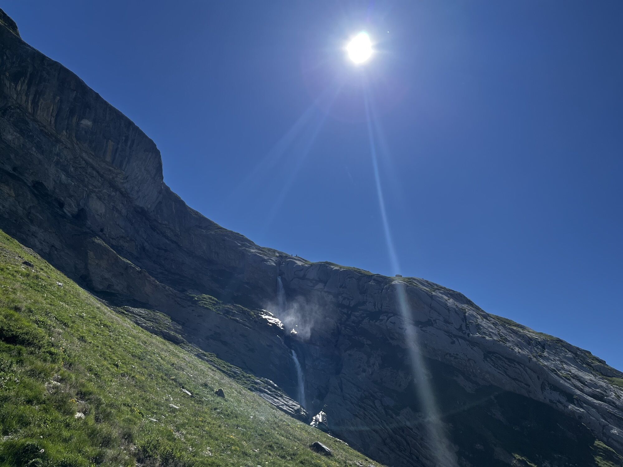
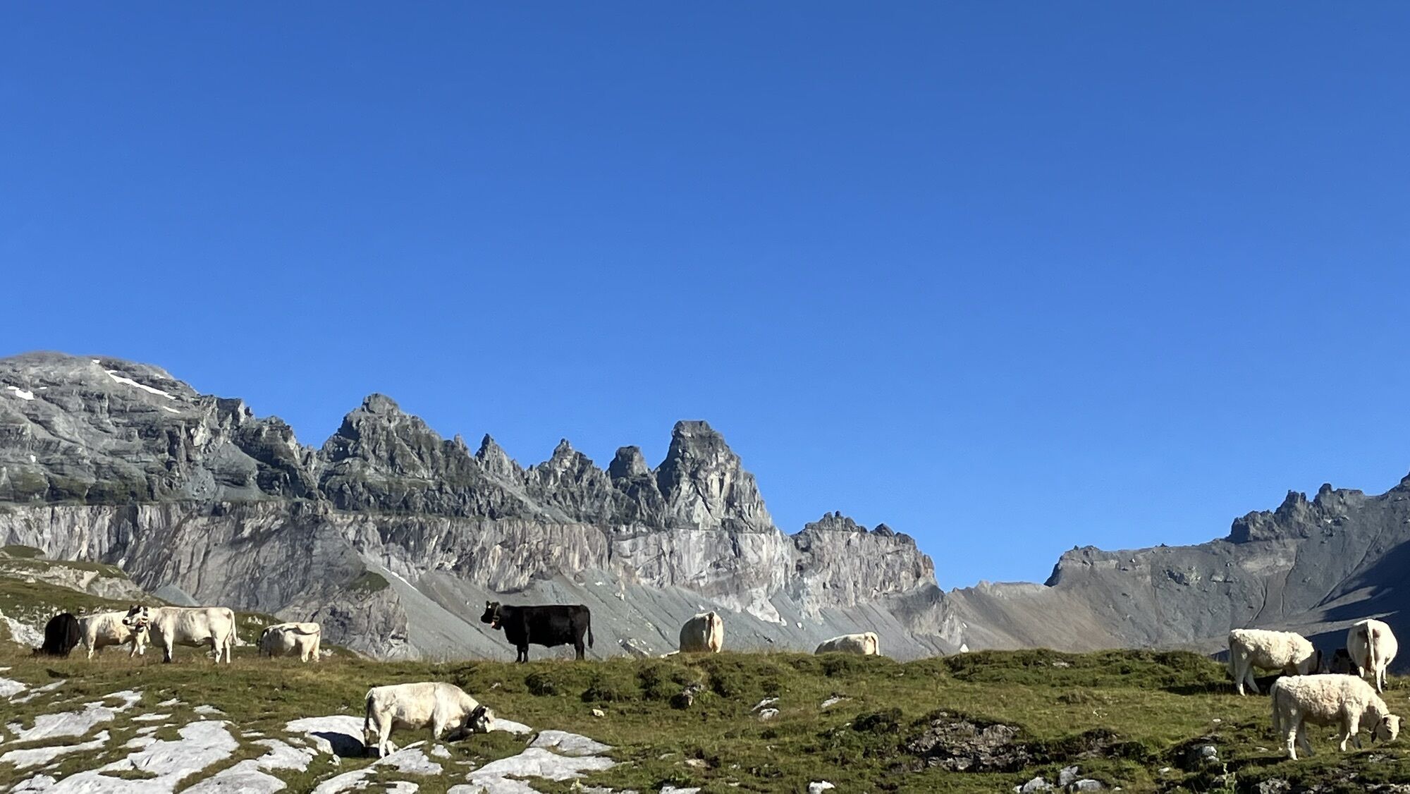
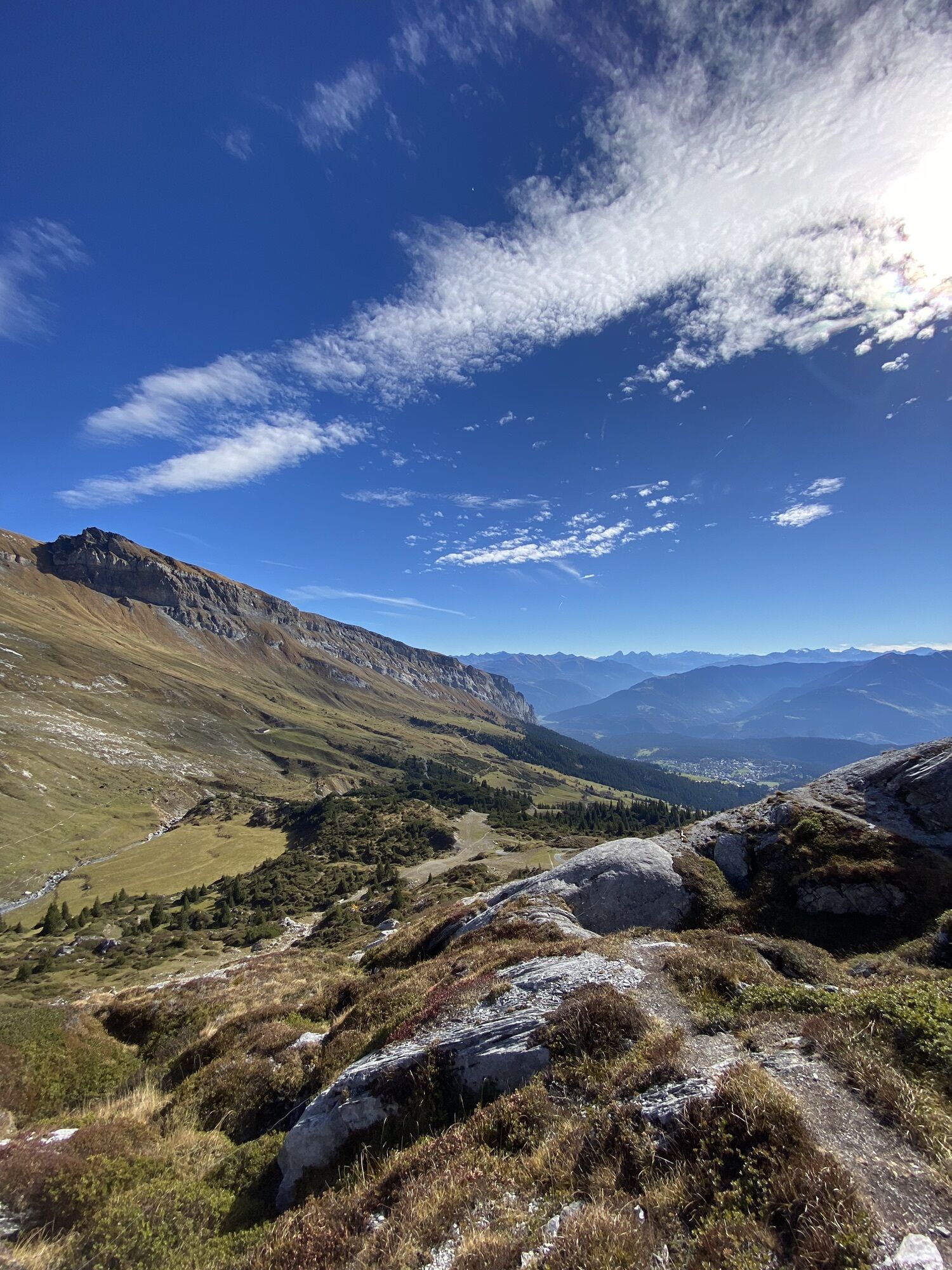
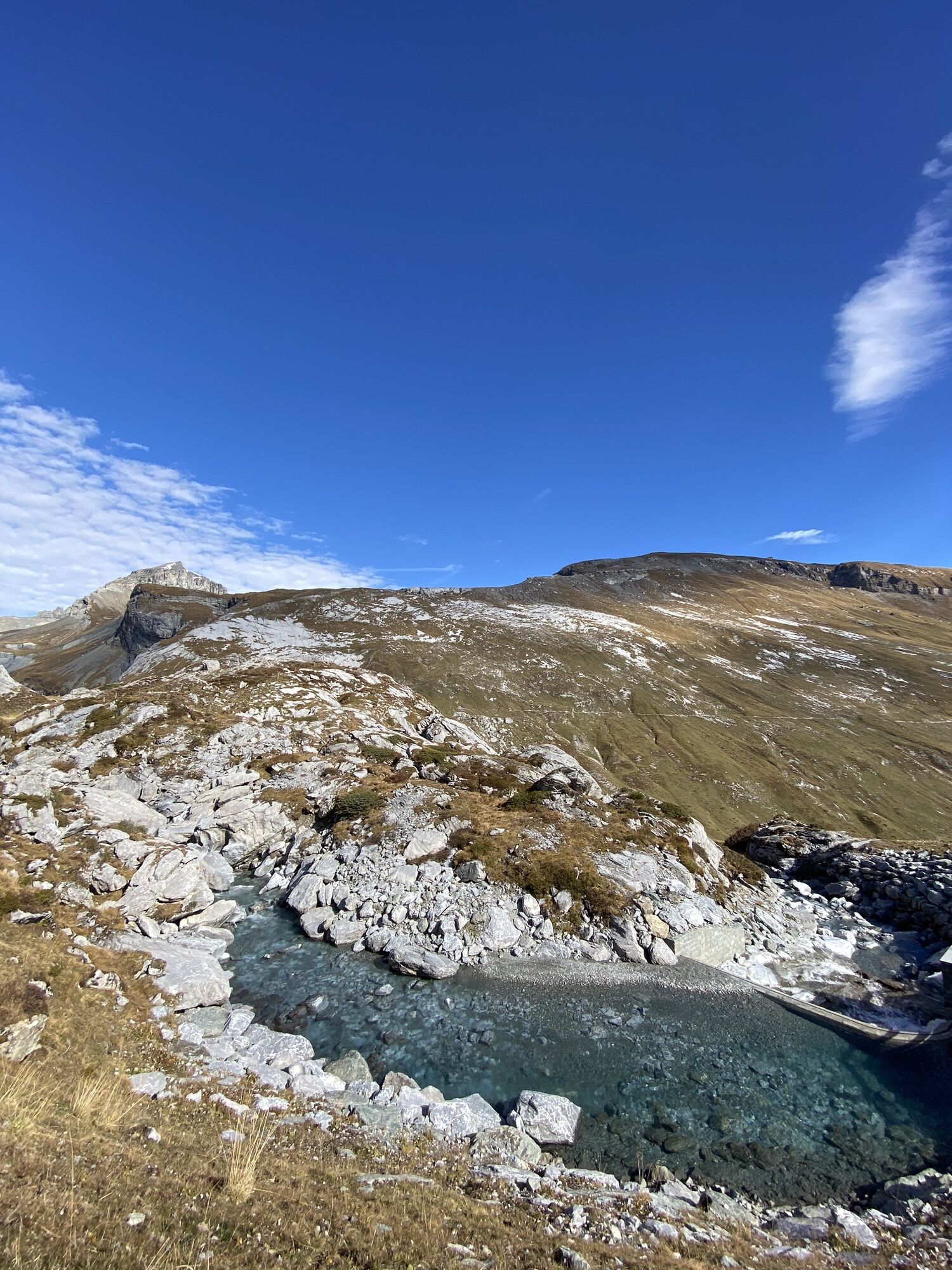
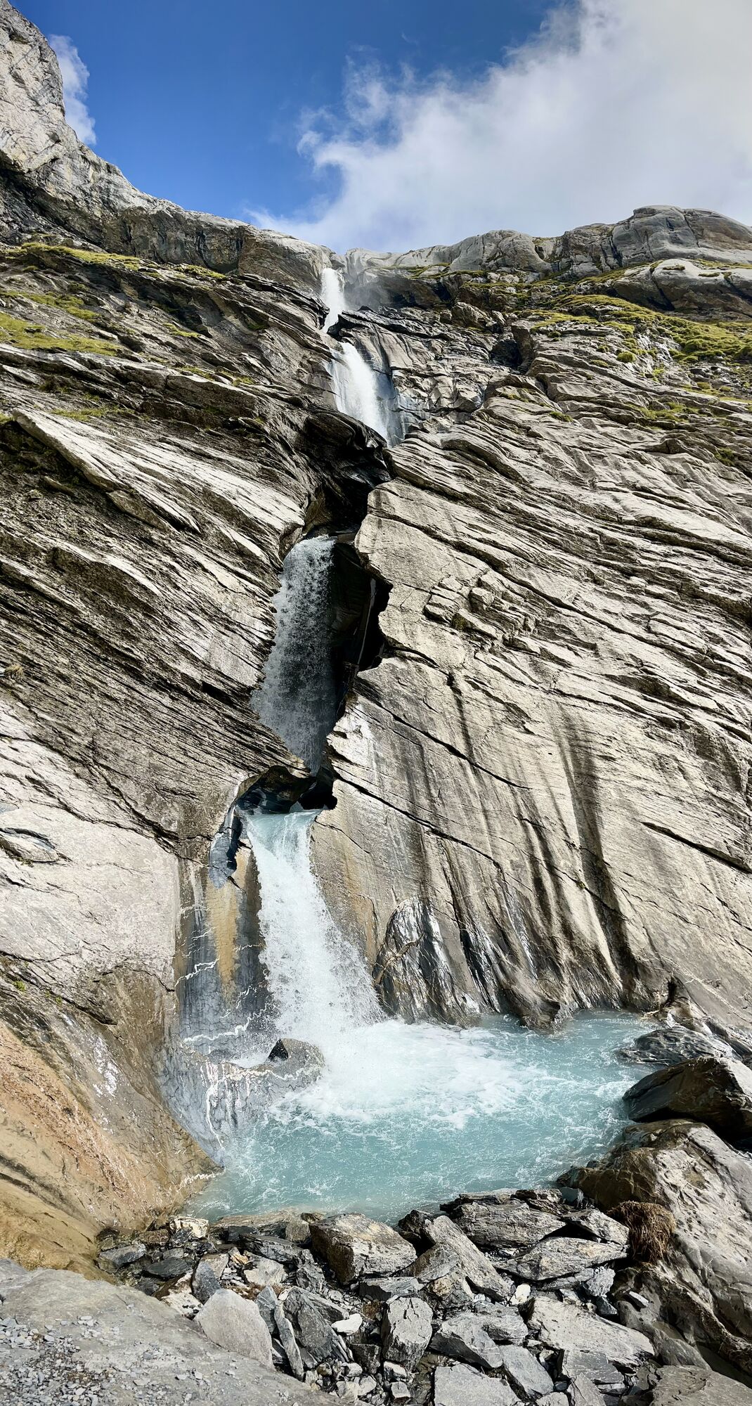
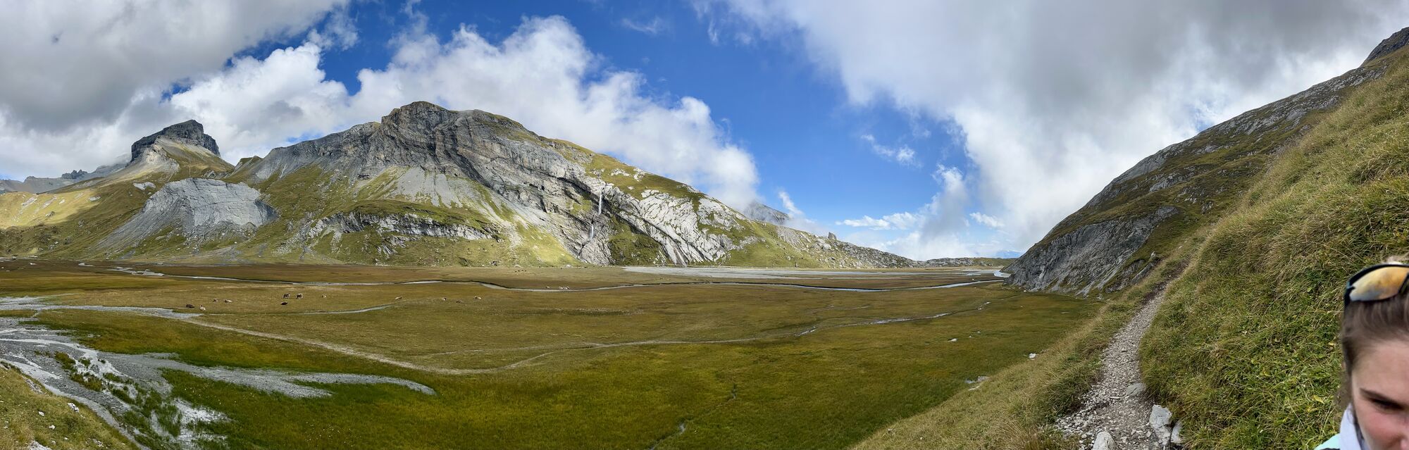
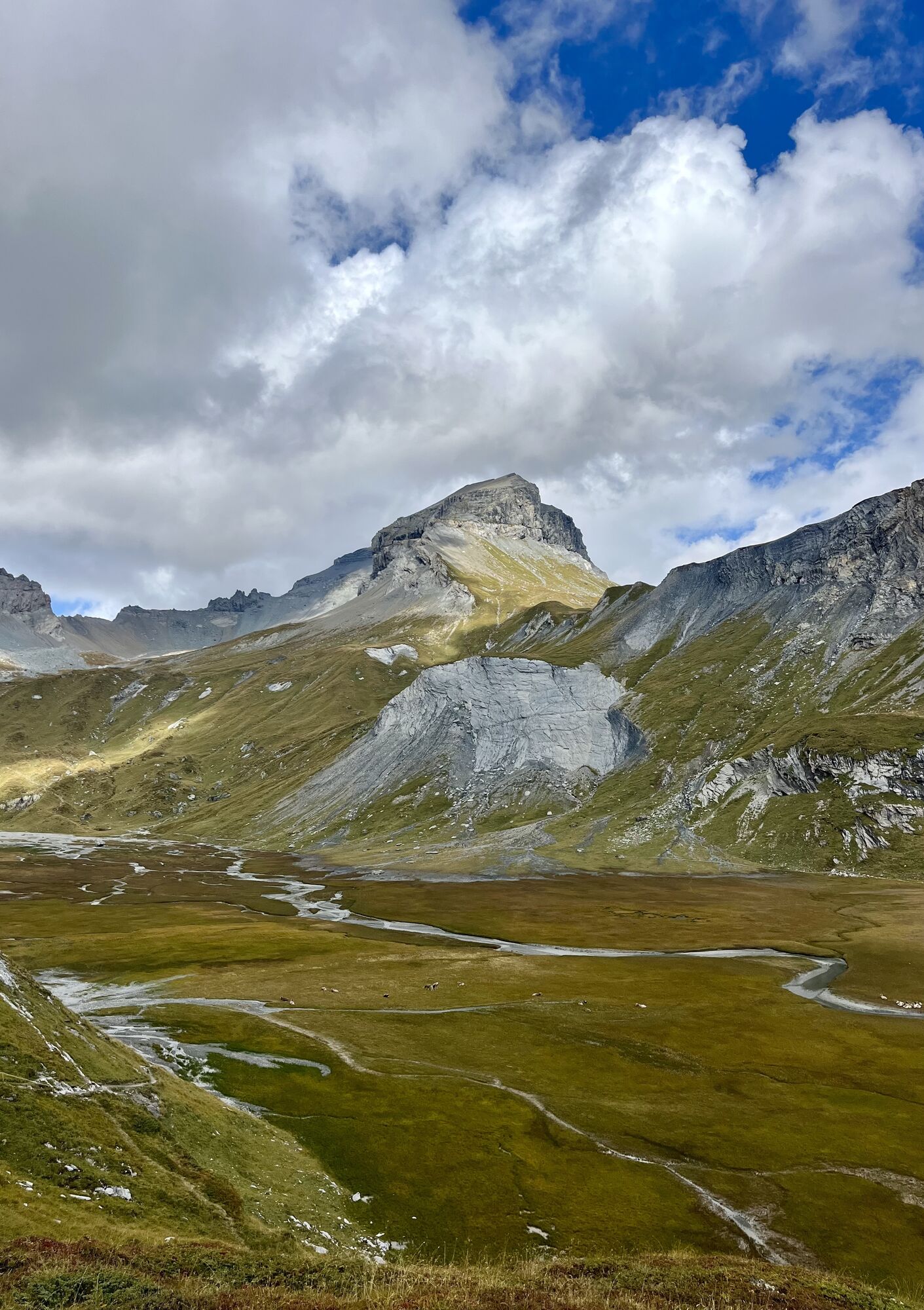
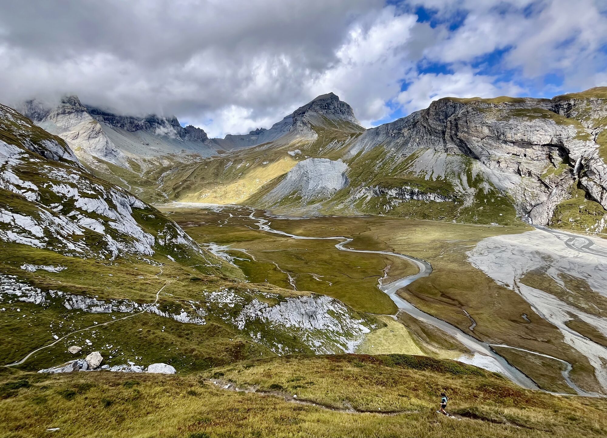
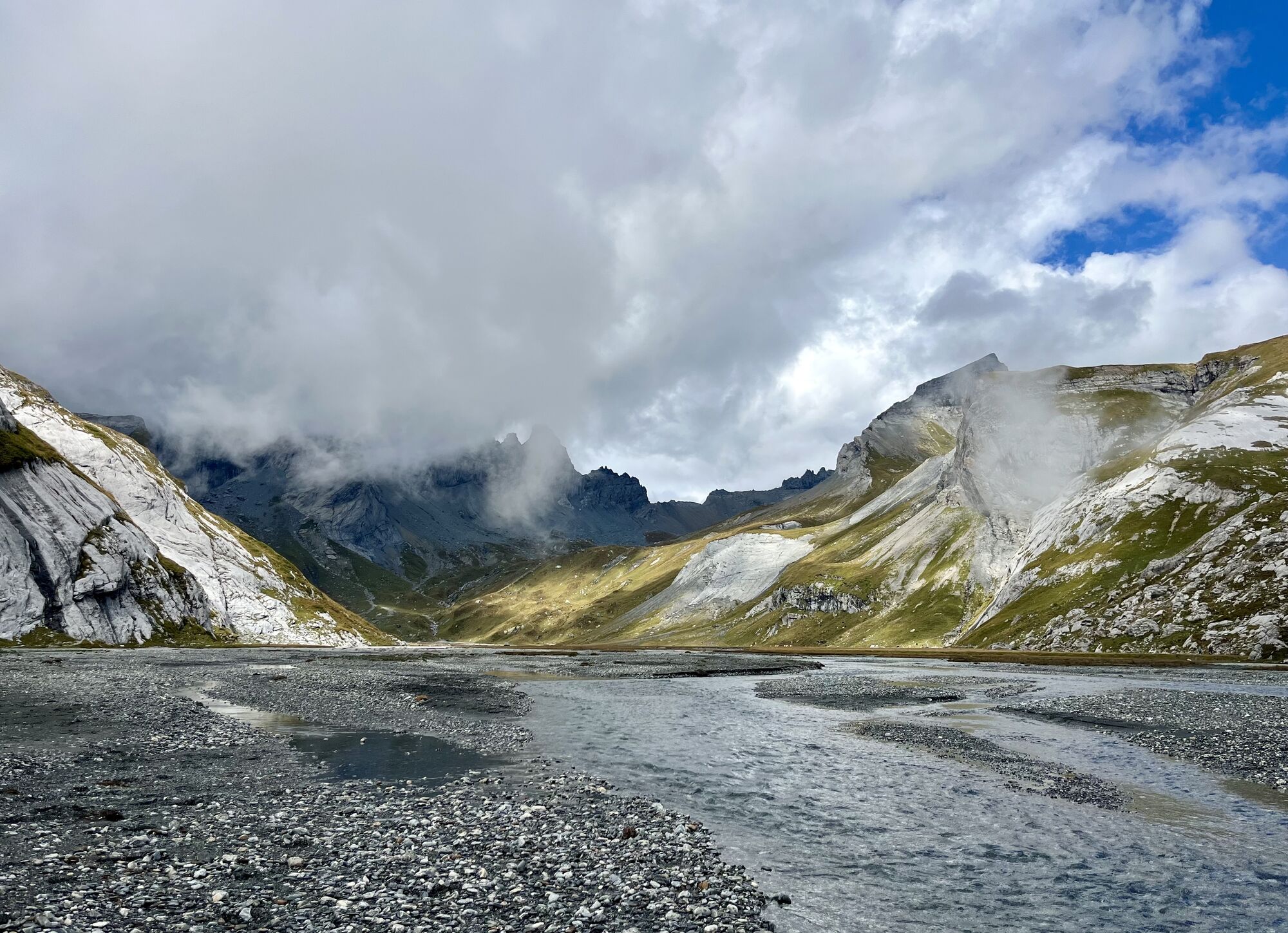
The plateau can be experienced on a two-and-a-half-hour hike from Nagens. The Lower Segnesboden is part of the national inventory of flat moors of special beauty and significance. At the same time, it...
The plateau can be experienced on a two-and-a-half-hour hike from Nagens. The Lower Segnesboden is part of the national inventory of flat moors of special beauty and significance. At the same time, it is one of only two flat moor protected areas in Switzerland with no signs of settlement. On the hike, you will pass the Segnes hut and the Sardona visitor pavilion.

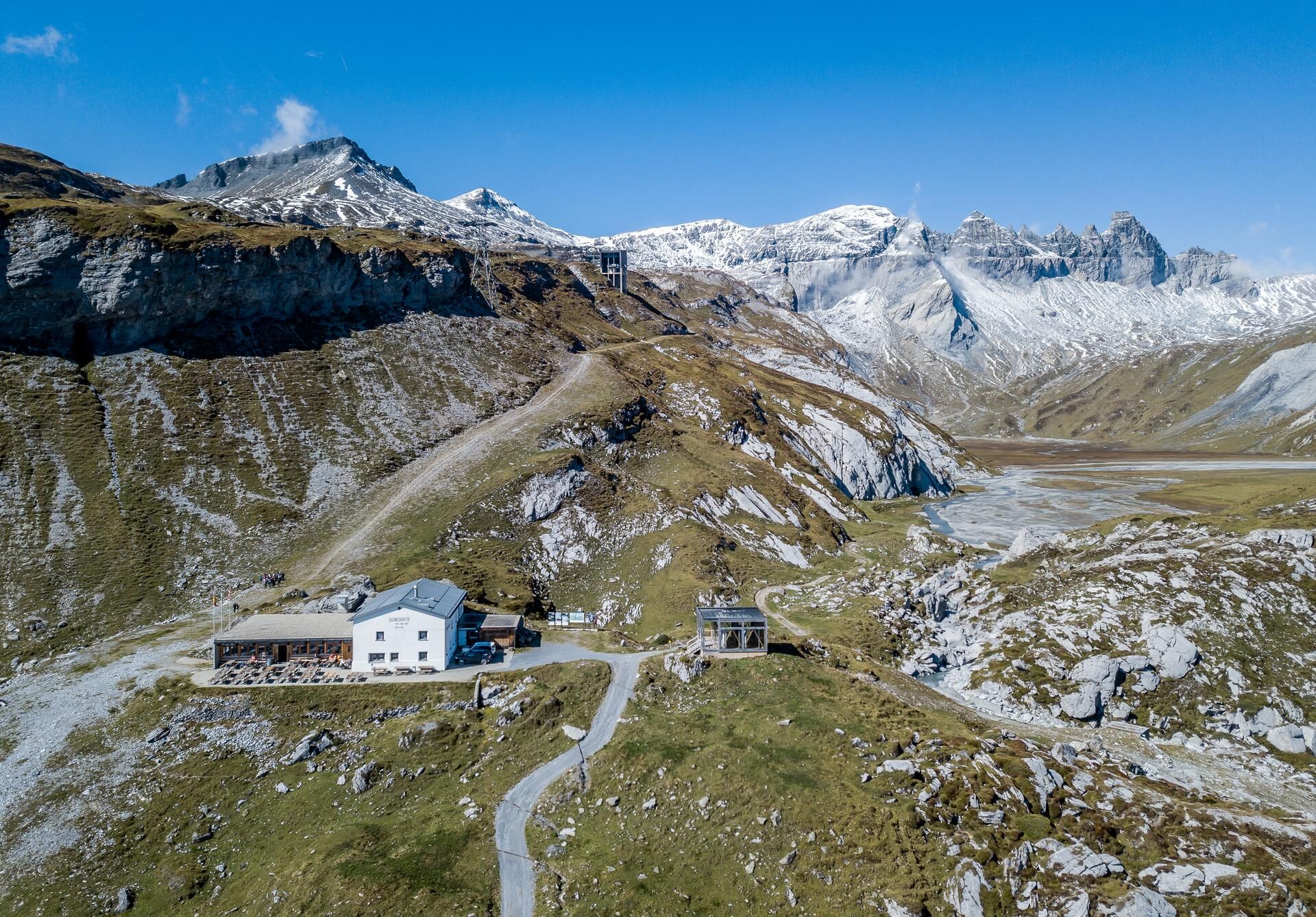
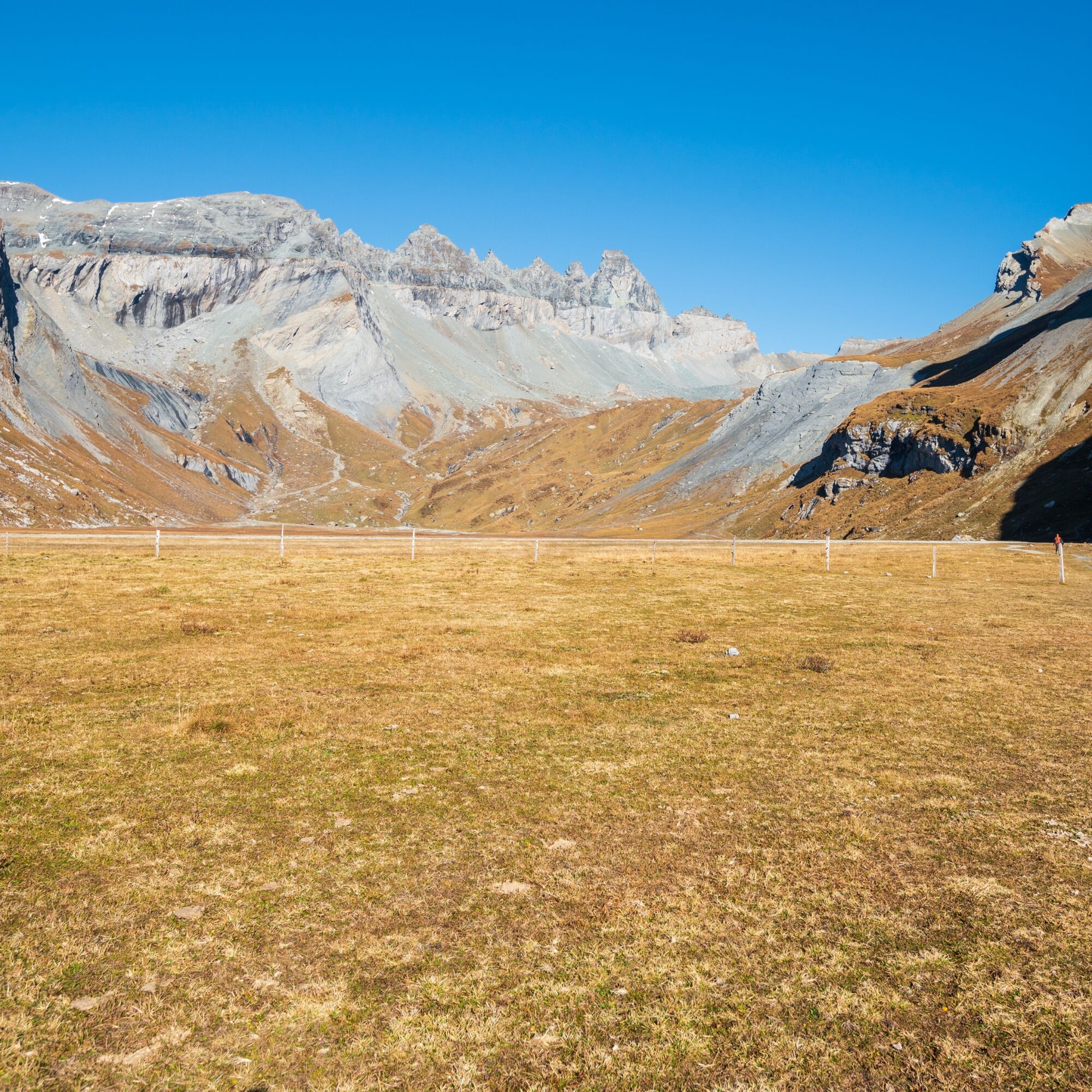




Comfortably take the FlemXpress from Flims to Nagens Sura station.
From Nagens Sura, ascend northwards through rocky terrain to Grauberg.
Then follows the descent to the Lower Segnesboden, for which sure-footedness is recommended.
Circle the flat moor clockwise and return via the Segnes hut over Platt`Alva to Alp Stalla.
Take the Nagens shuttle down to the valley to Laax or walk back to Flims via the panoramic trail past Runca Höhe.
Alternatively, at the Segnes hut, return to Flims via Segnes station with the FlemXpress.
Tak
Tak
Carry rain and sun protection.
Wear mountain-appropriate footwear.
By car on the A13 motorway from Zurich, exit 18 Flims.
Take the post bus from Chur, or the local bus Flims Laax Falera
Stop: Flims Bergbahnen
Parking in the STENNA parking garage at the Flims valley station.
T2
Observe the operating times of the Nagens shuttle!
Visit the UNESCO exhibition in the Sardona World Heritage visitor pavilion next to the Segnes hut.


Kamery internetowe z trasy


Popularne wycieczki w okolicy
-
4,6
Pizol - Batöni - Weisstannen
ciężkiWędrówka 11,7 km -
4,9
Rheinschlucht: From Ilanz to Versam into the heart of the Rheinschlucht
średniWędrówka 11,4 km -
4,4
4-lake hike: Caumasee - Crestasee - Felsbach Gorge
ciężkiWędrówka 13,3 km -
4,7
Rhine Gorge Hike: Senda Ruinaulta (659)
światłoWędrówka 9,39 km -
4,8
Mountain hike to the Strudeltöpfe on Alp Mora: Bargis-Trin
ciężkiWędrówka 18 km -
4,7
The Water Trail: Trutg dil Flem 764
ciężkiTrasa tematyczna 8,56 km -
4,5
Pizol summit tour
średniWędrówka 9,28 km -
5,0
Caumasee tour: Flims - Caumasee - Conn - Flims
światłoWędrówka 7,94 km -
4,2
Batöni Waterfall Arena
średniWędrówka 8,24 km -
4,5
St. Martin - Alp Sardona - St. Martin
średniWędrówka 14,2 km
Wędrówki i tropienie


Nie przegap ofert i inspiracji na następne wakacje
Twój adres e-mail została dodana do listy mailingowej.





