






Rhine Gorge Hike: Senda Ruinaulta (659)
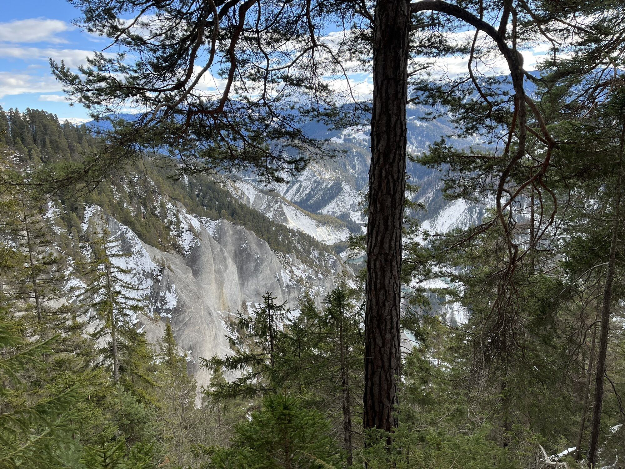
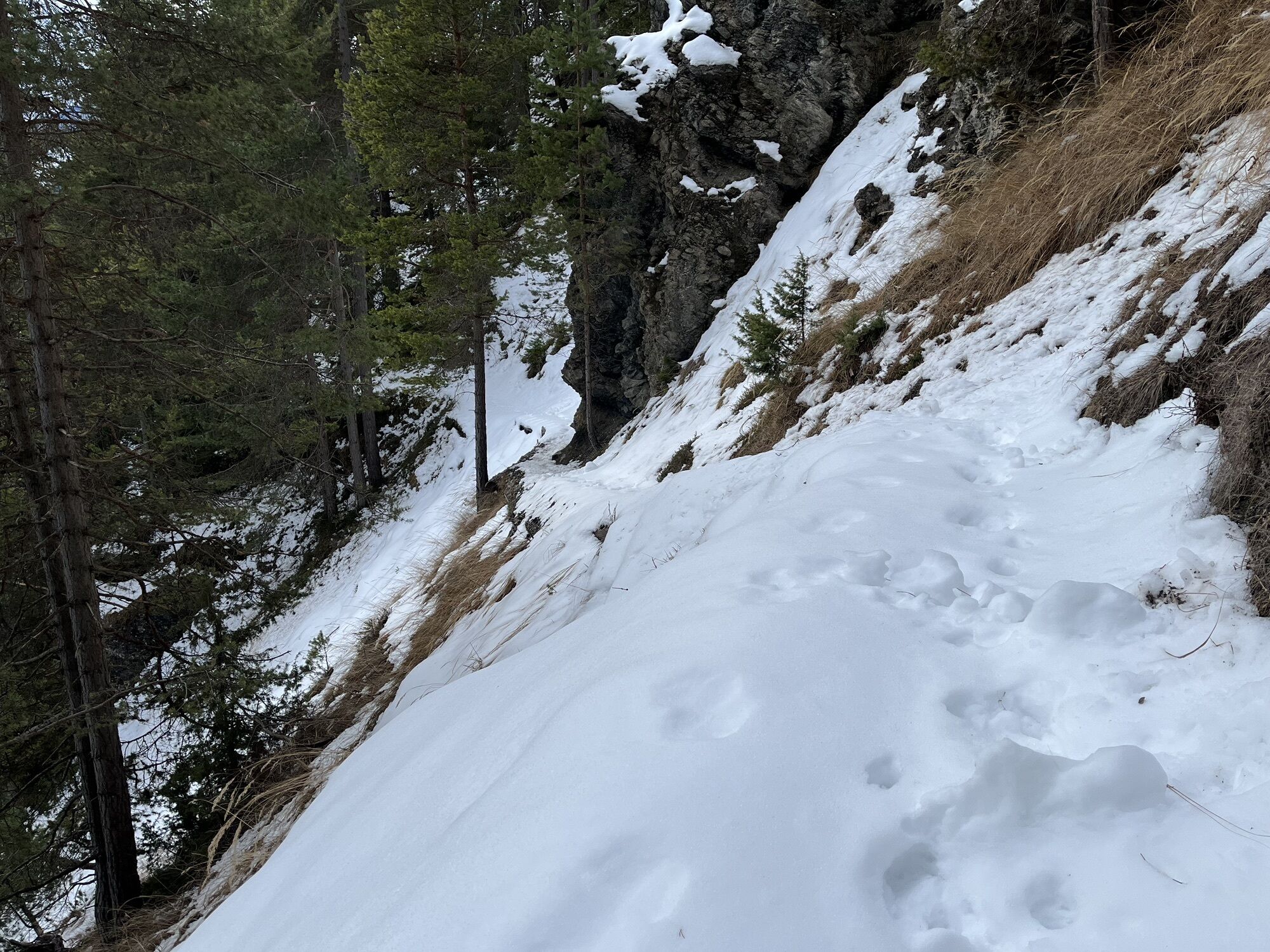
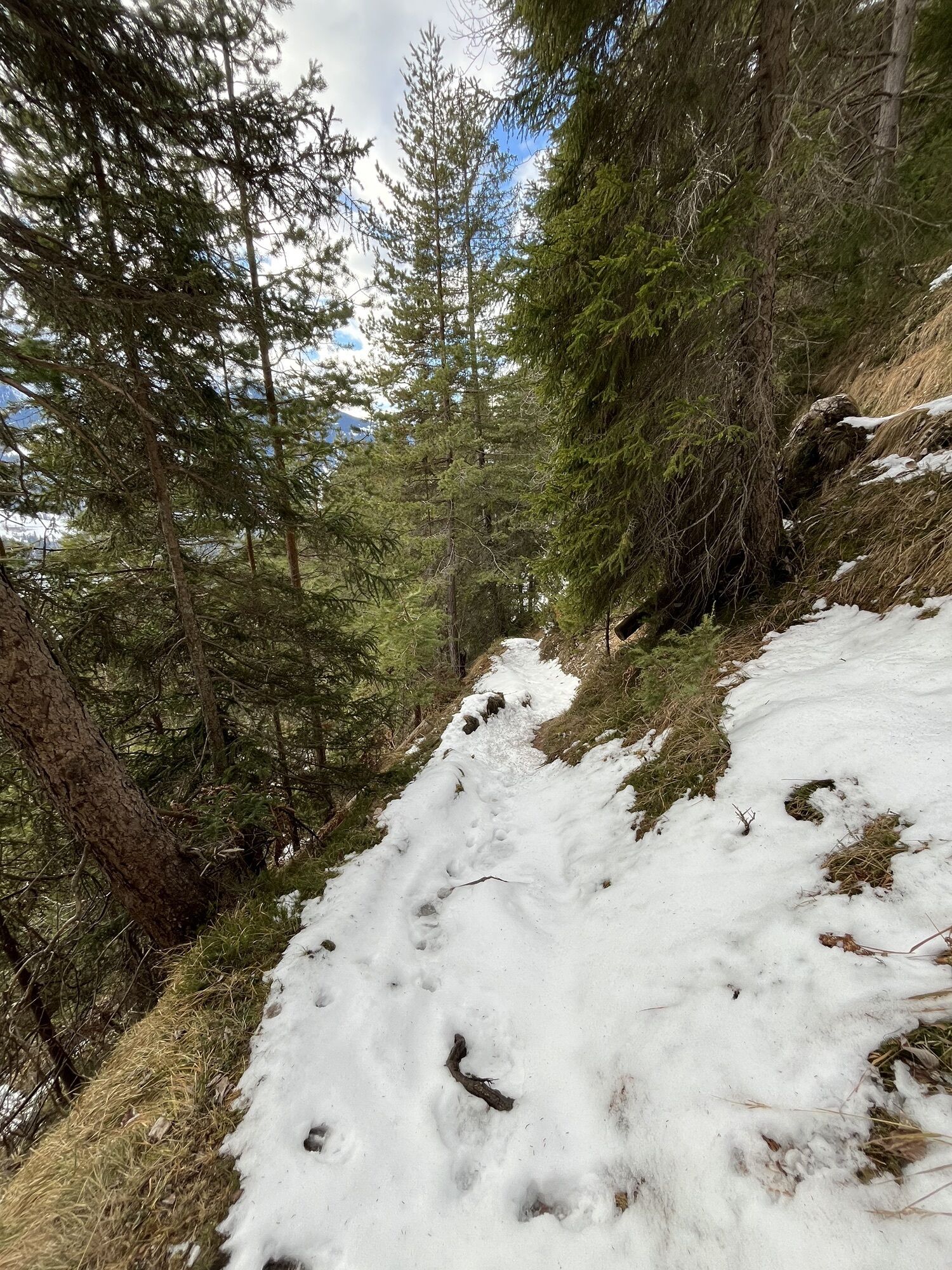
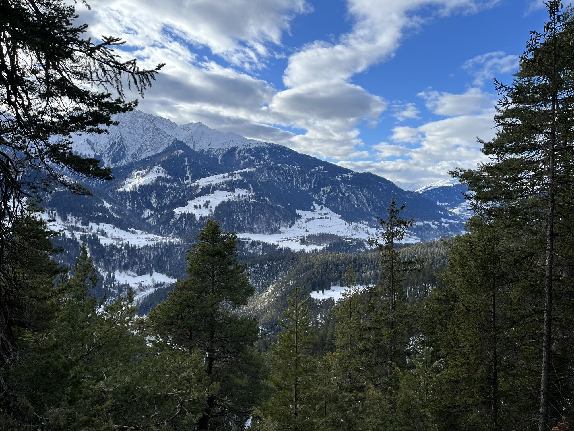
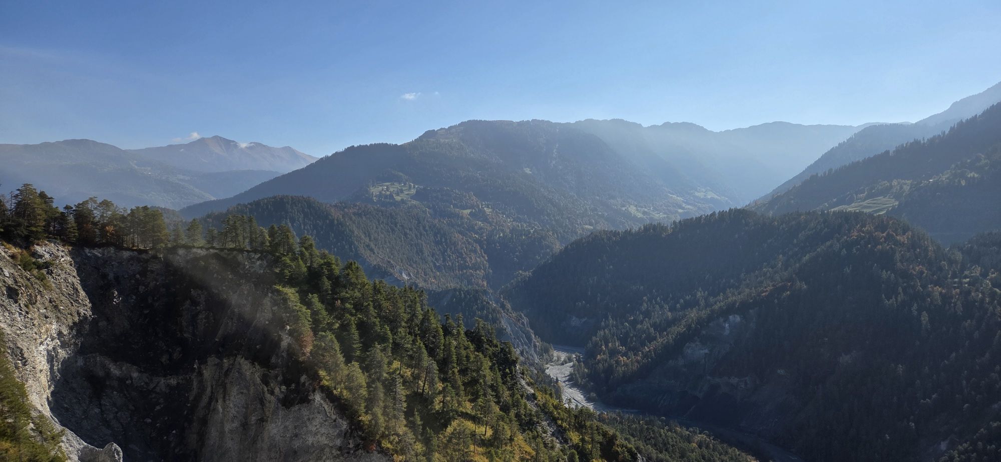
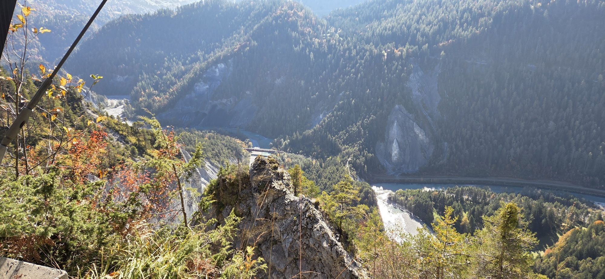
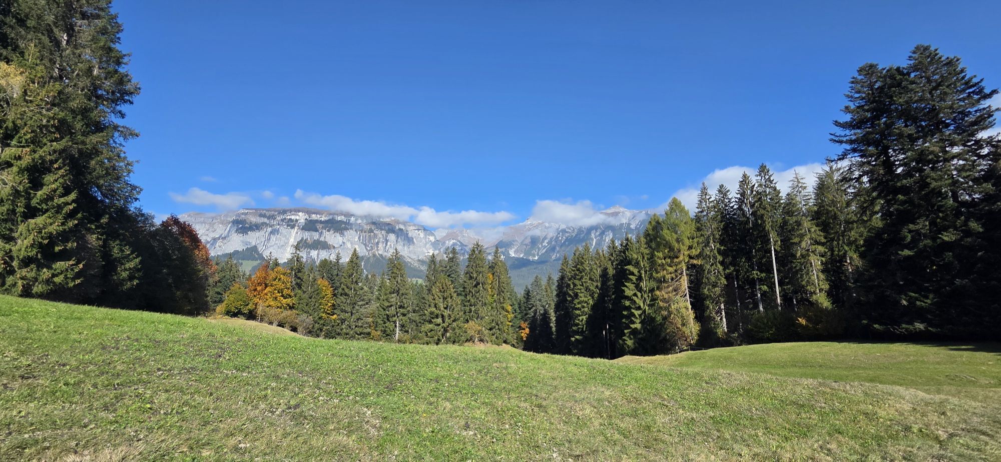
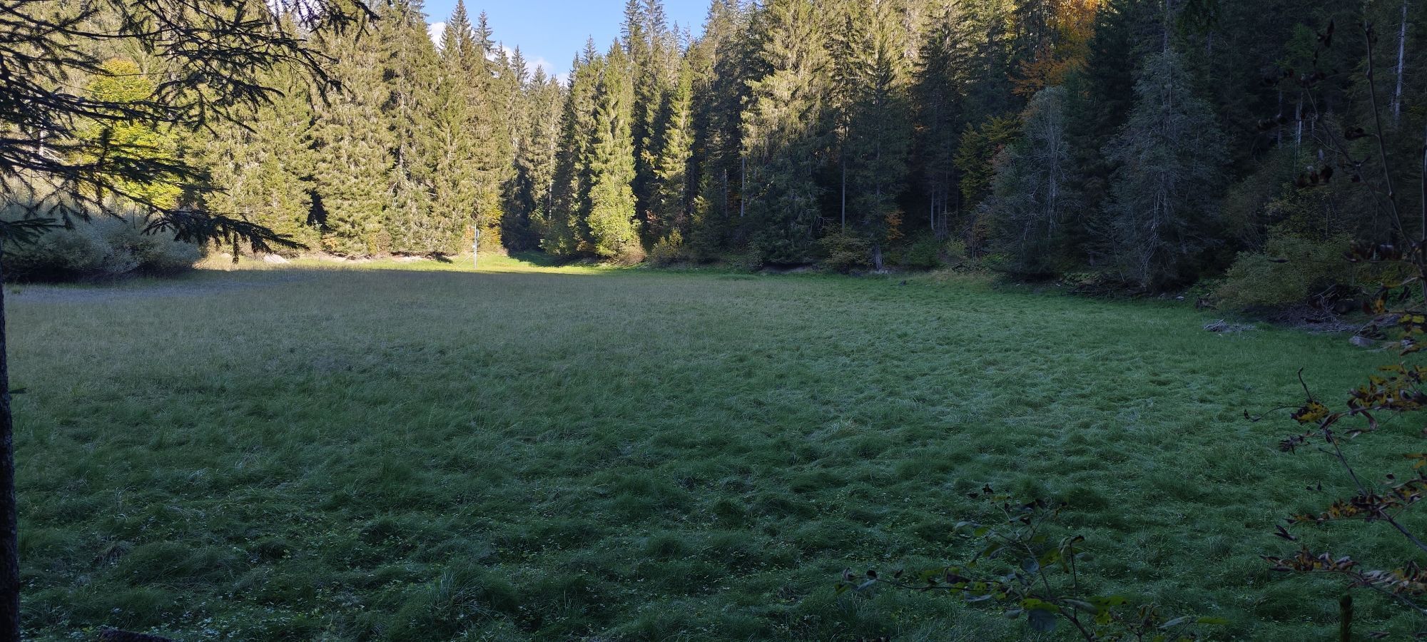

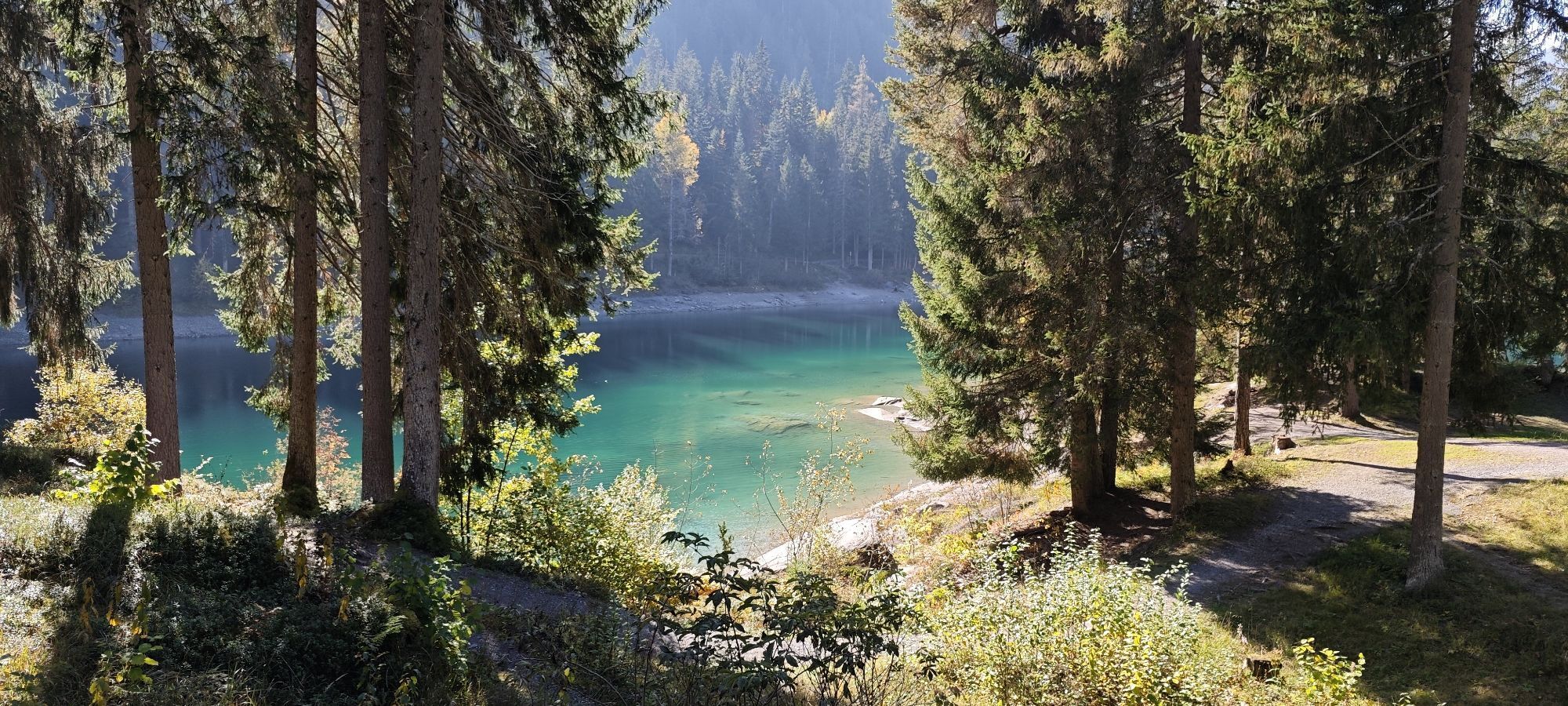
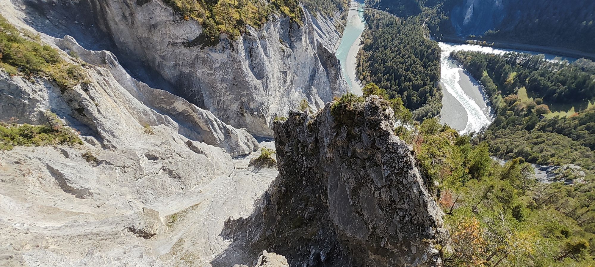
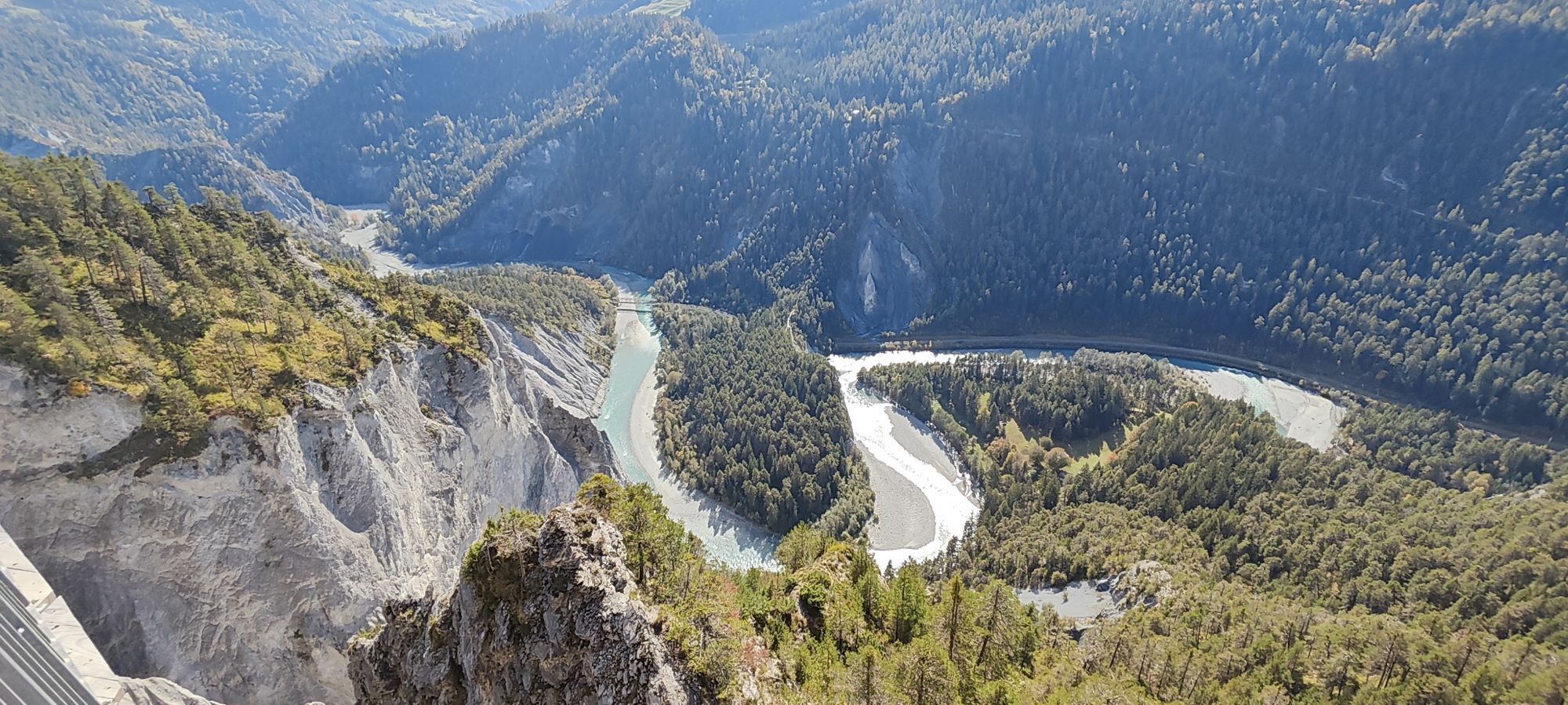
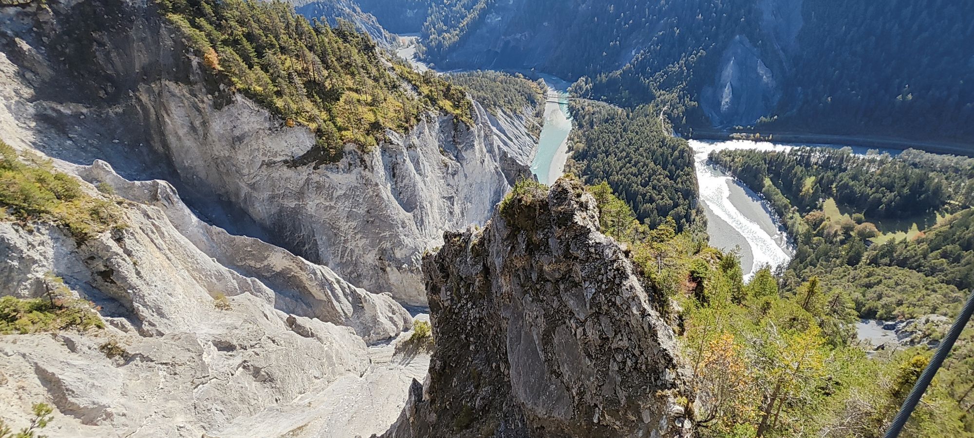
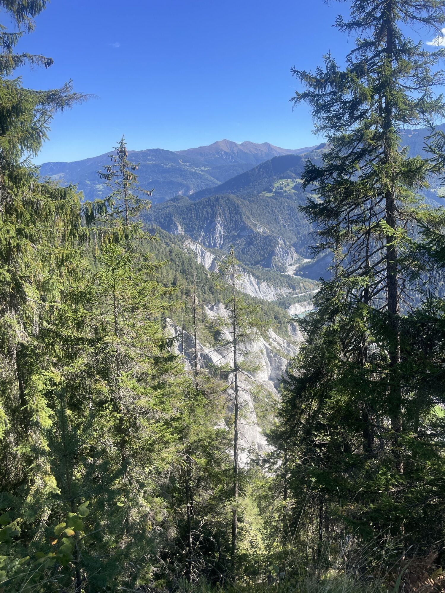
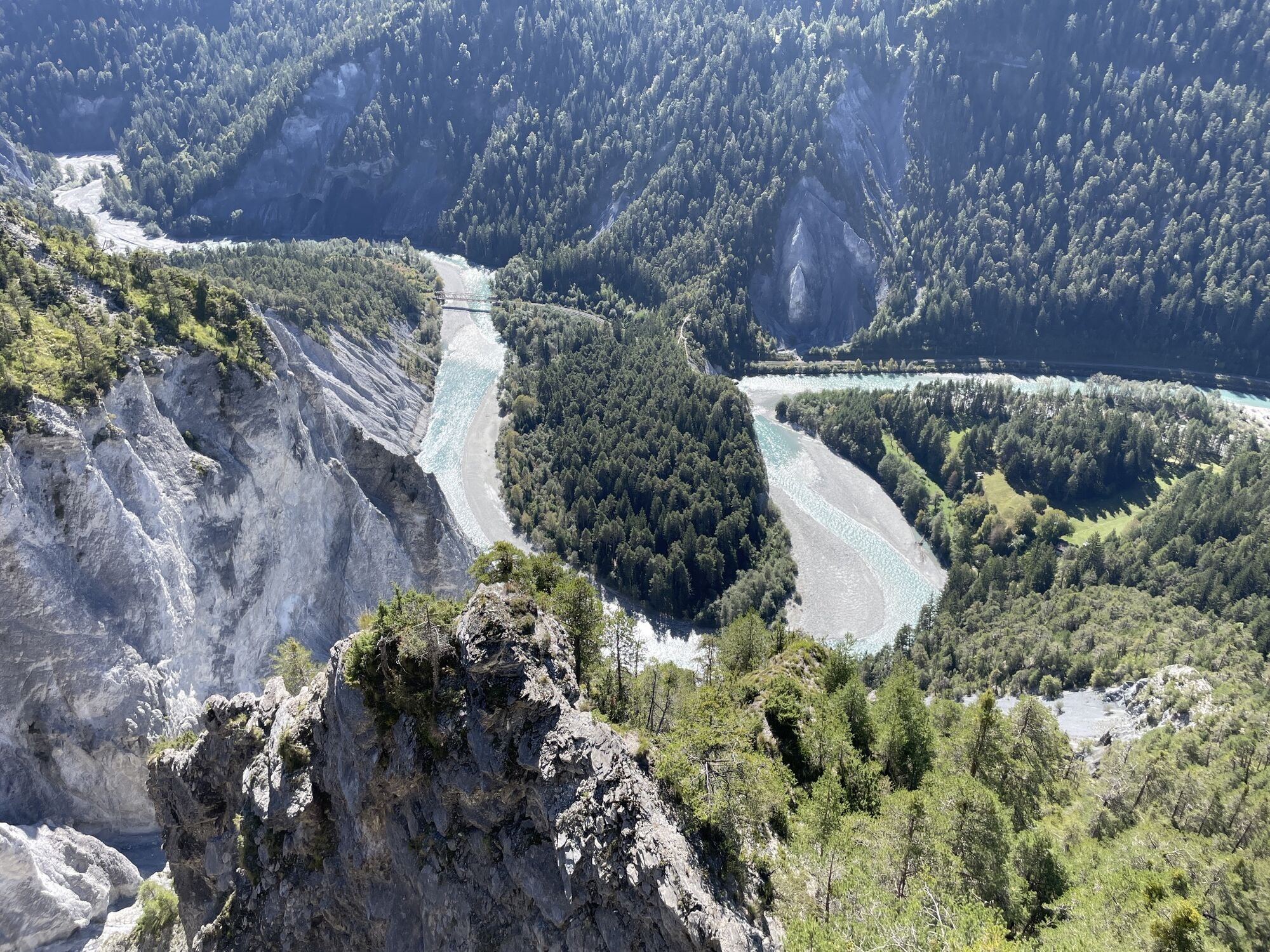
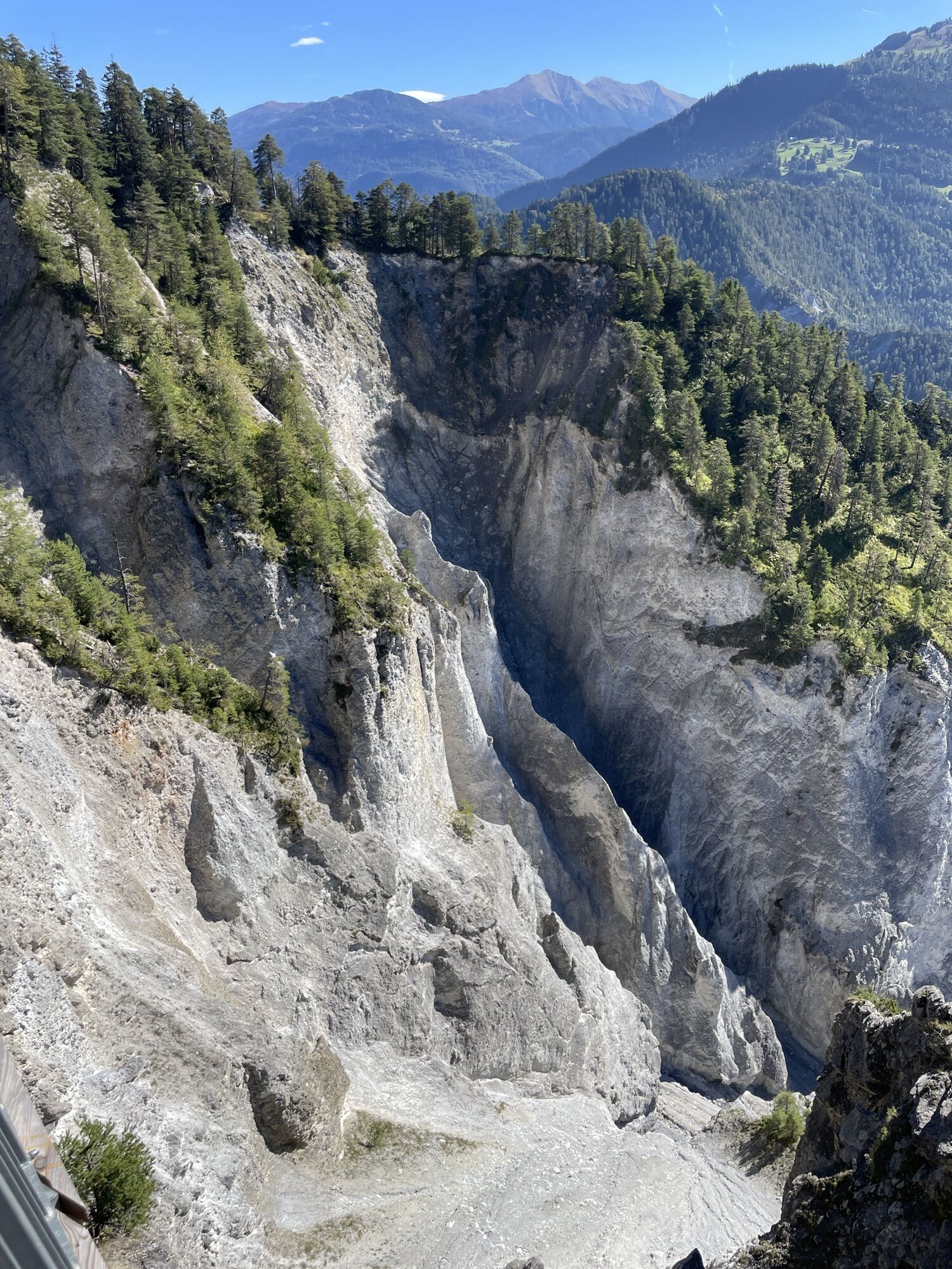
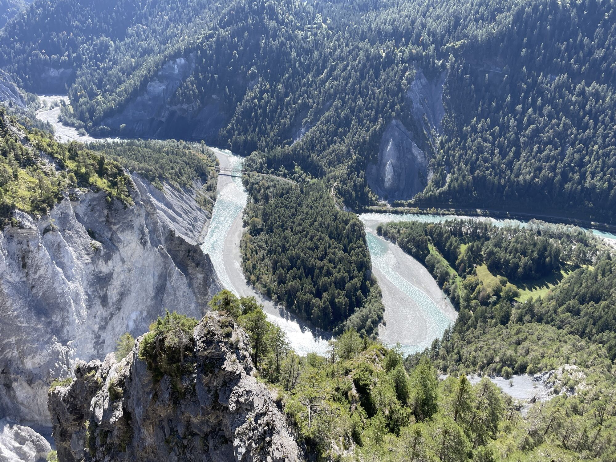
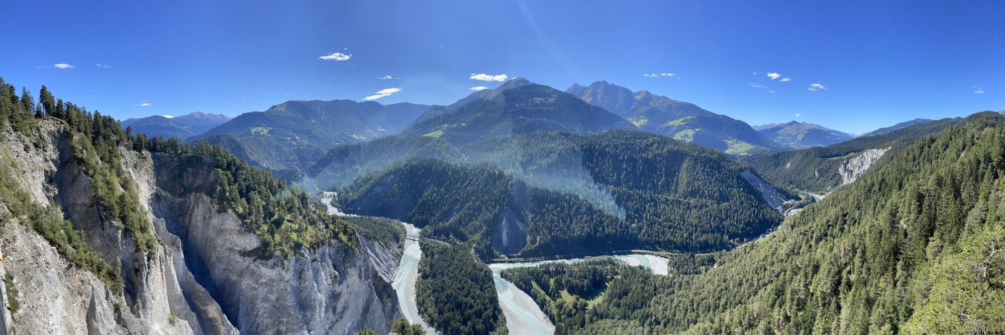
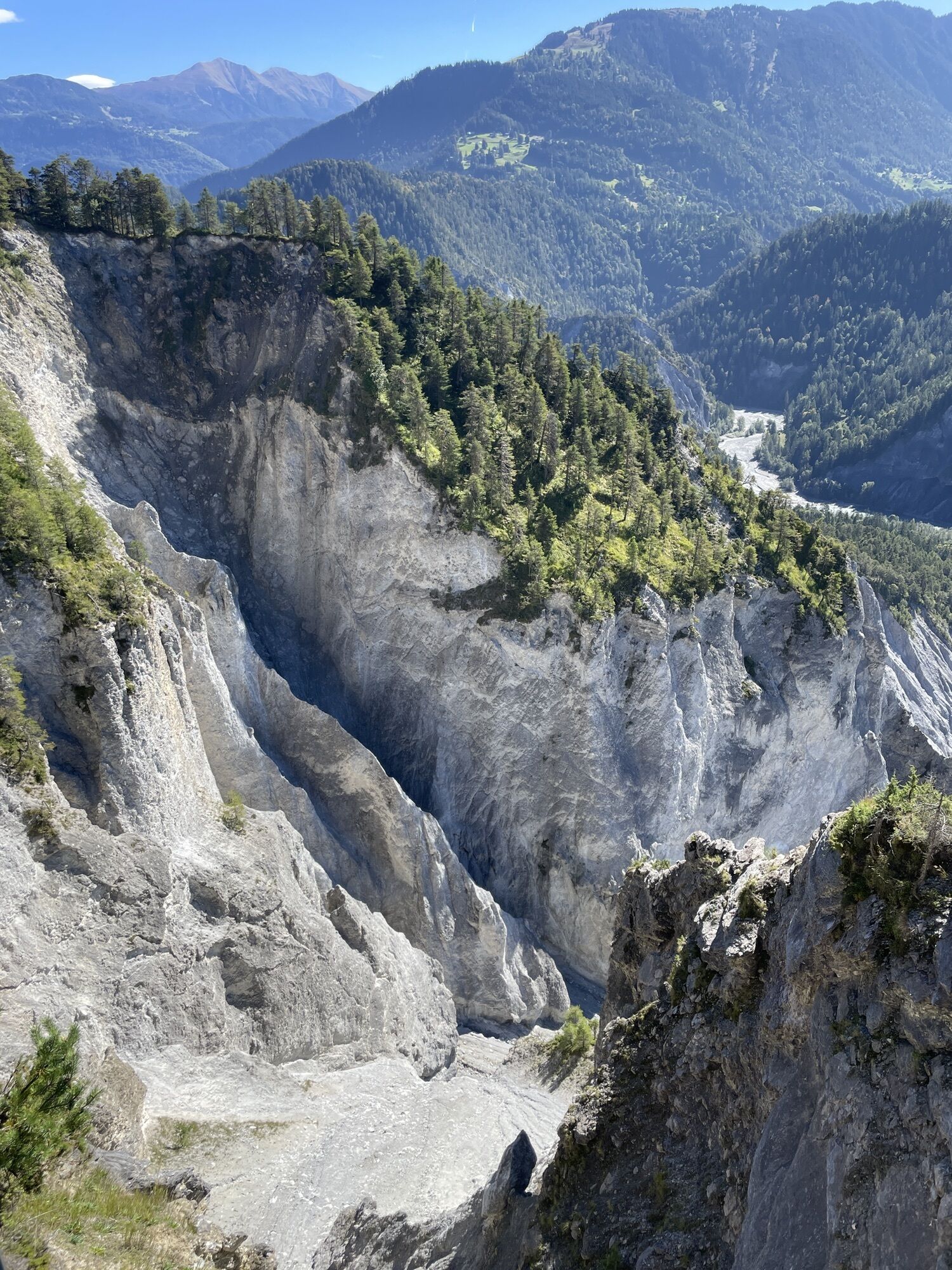
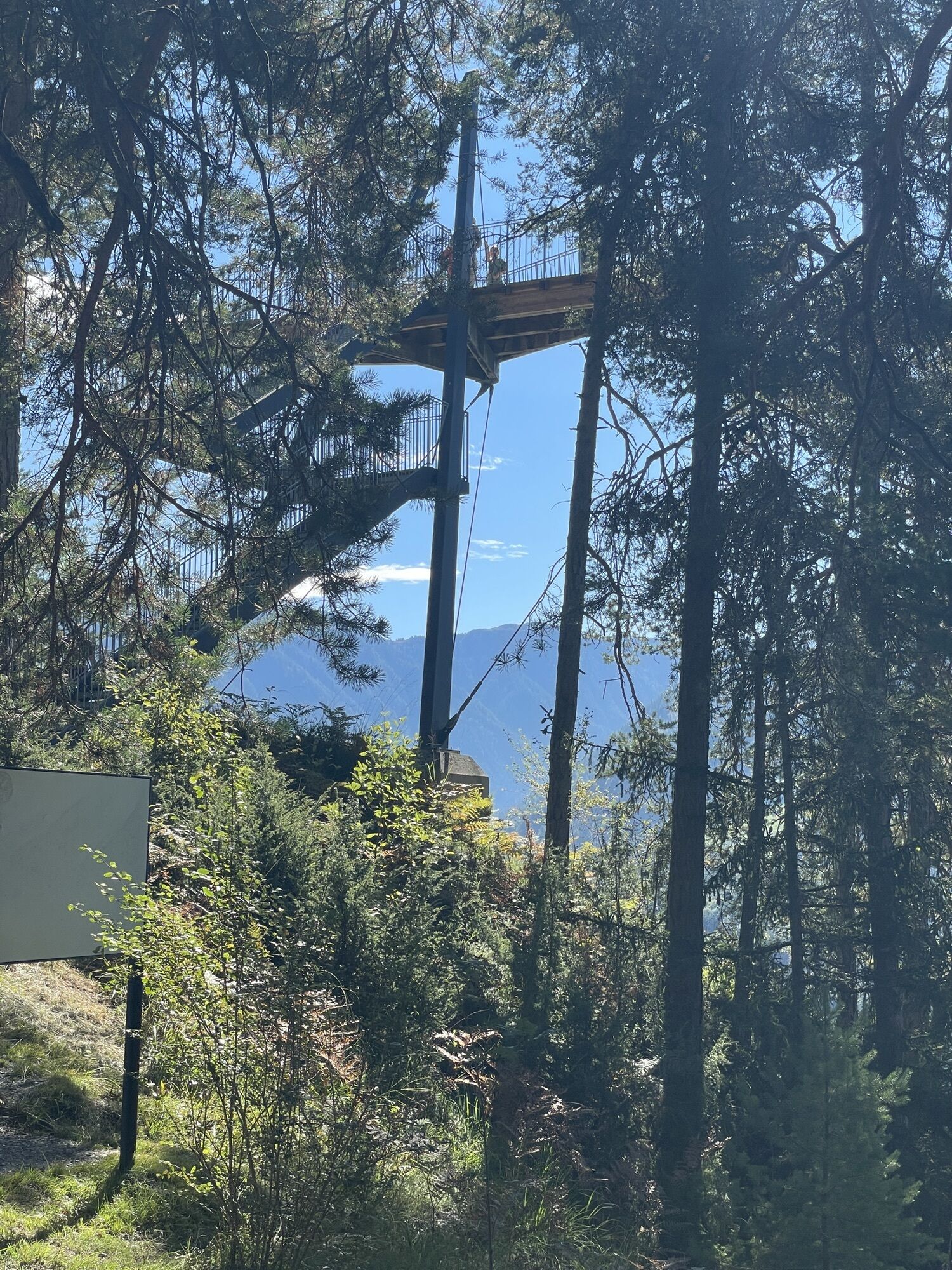
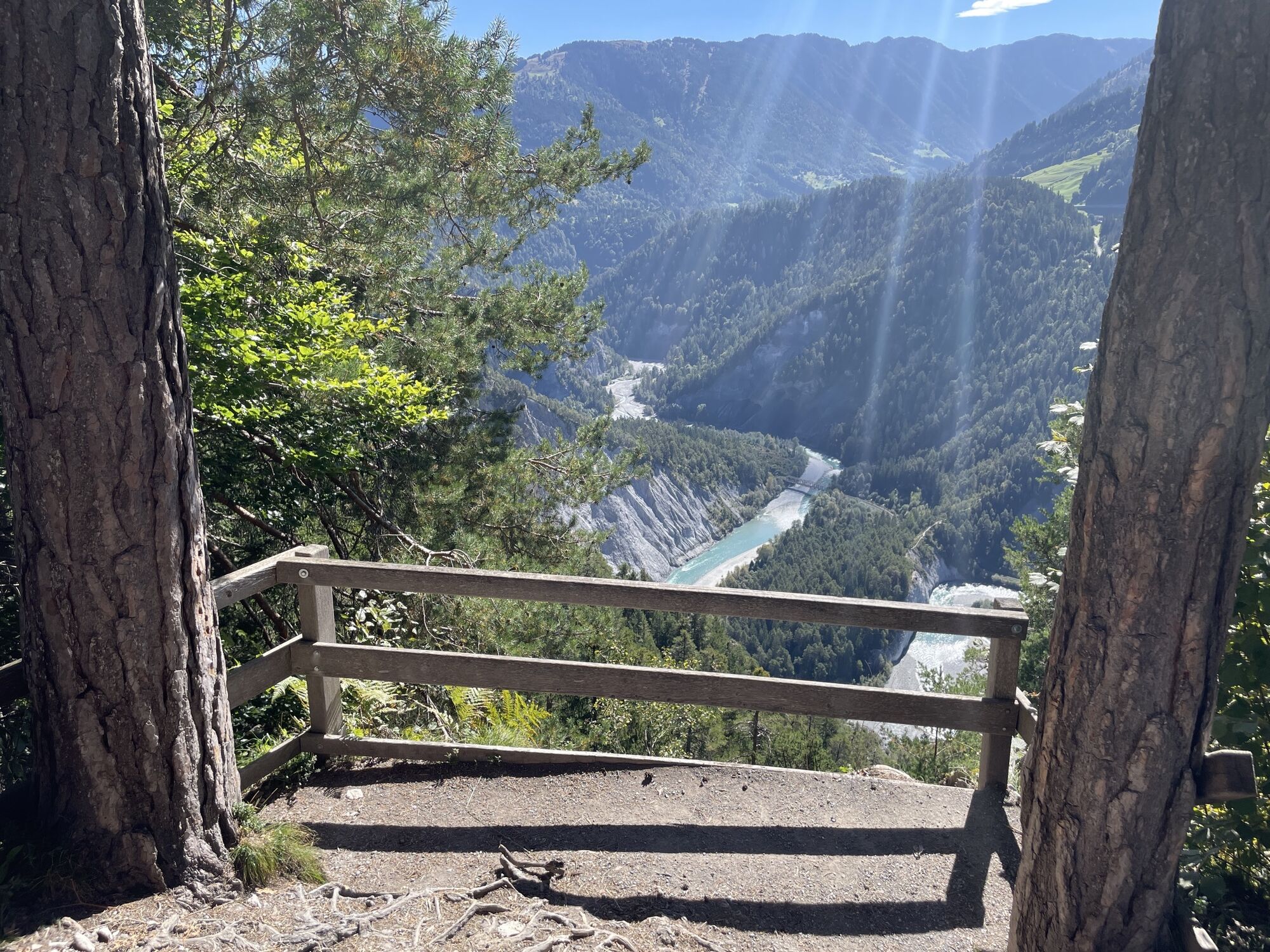
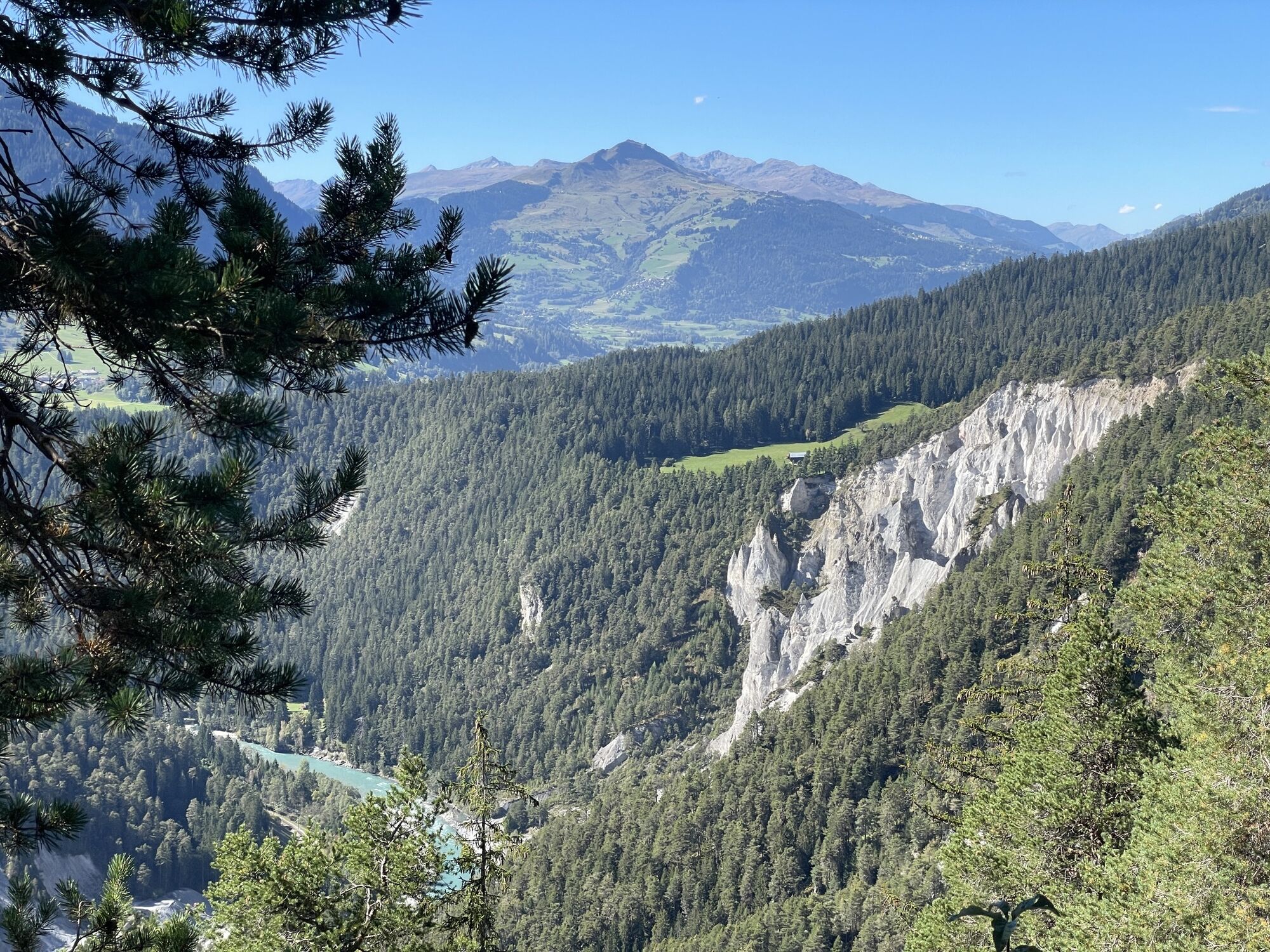
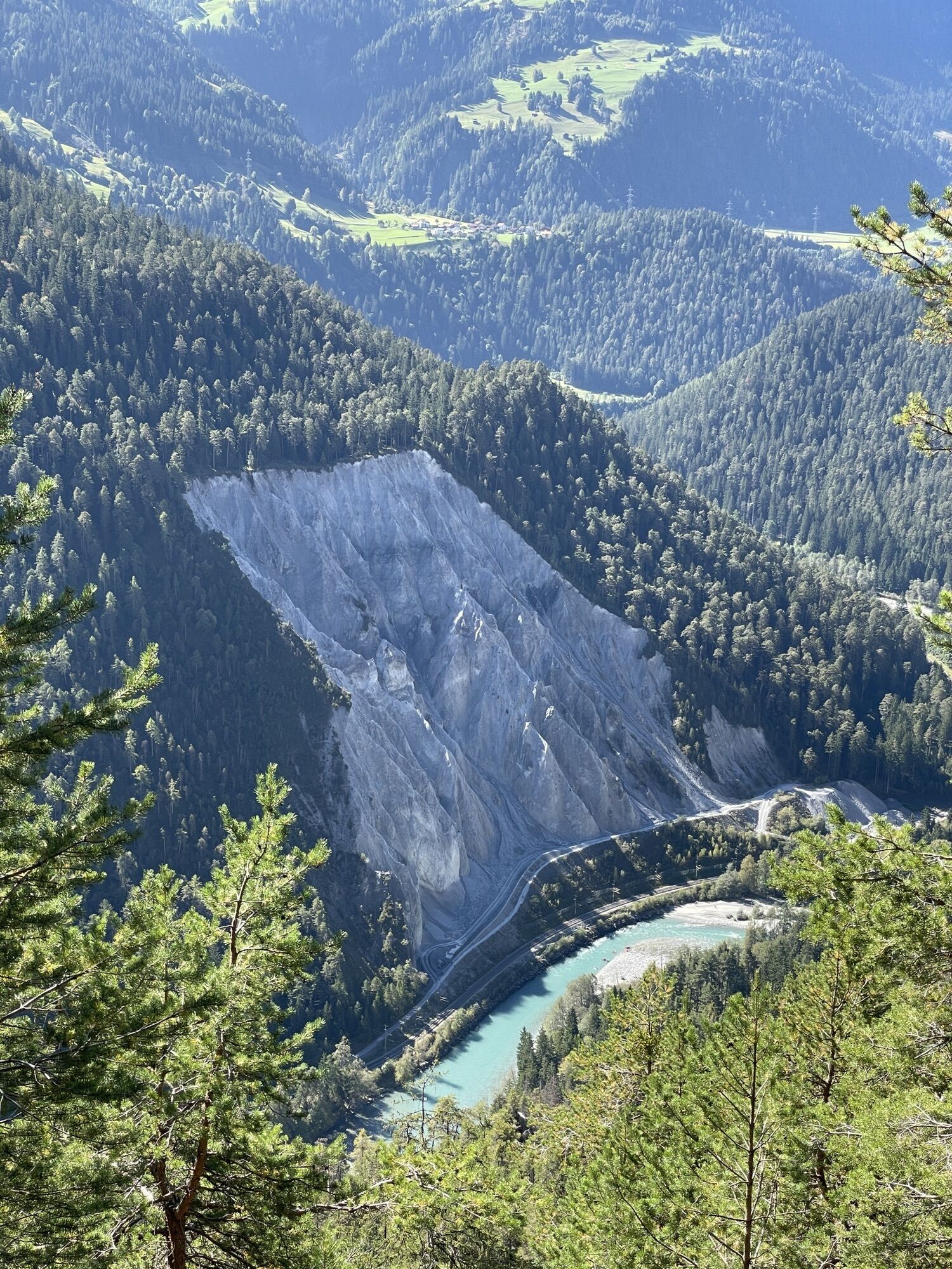
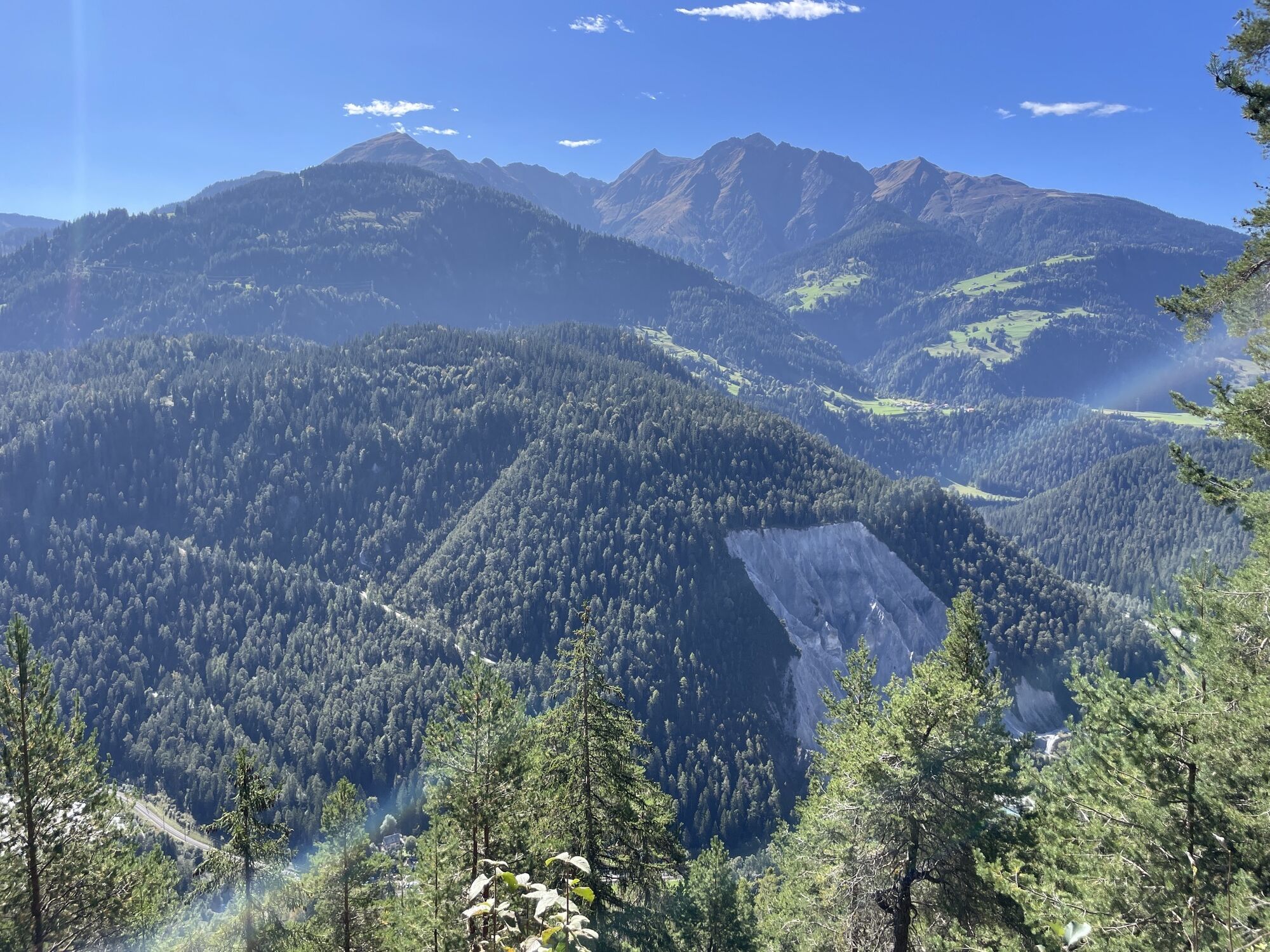
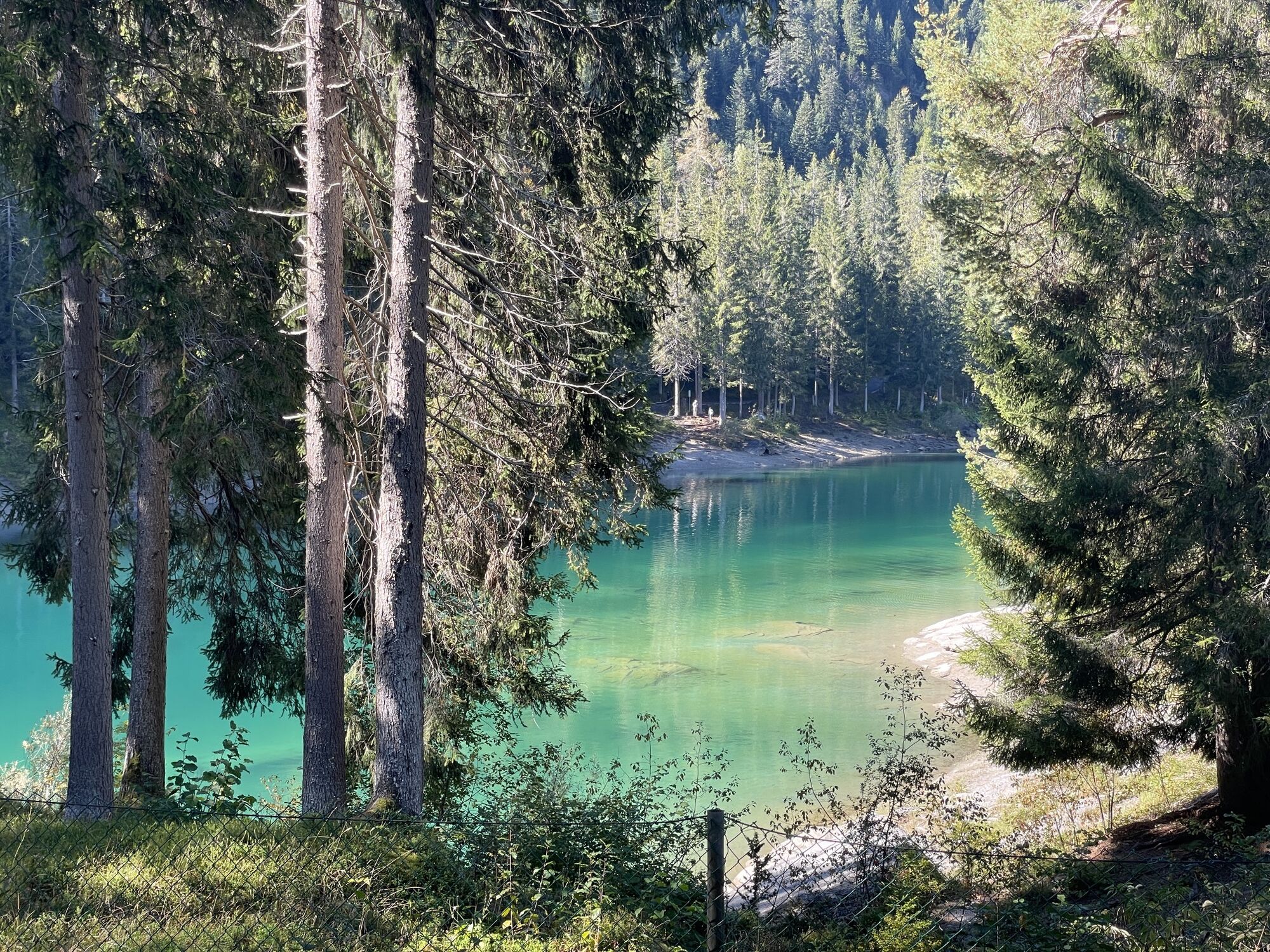
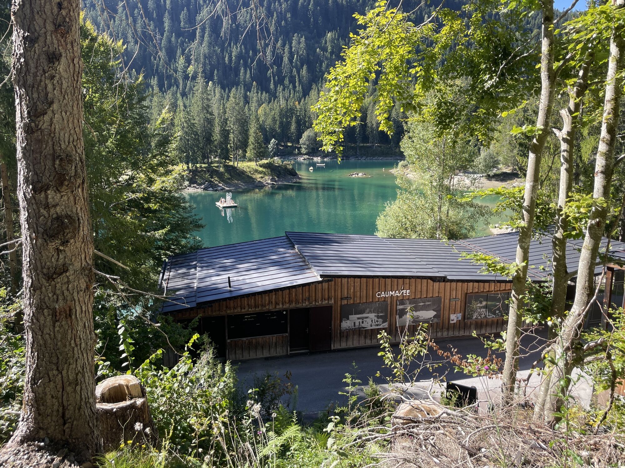
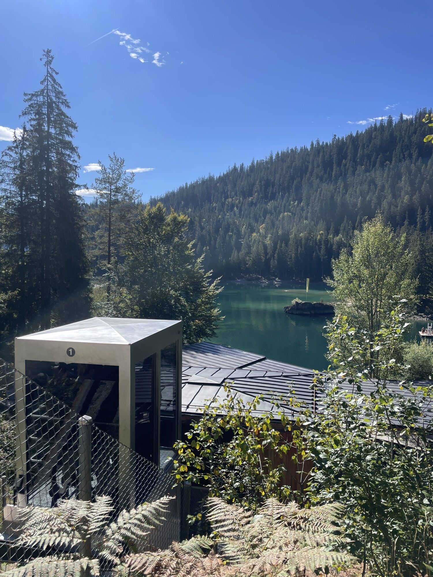
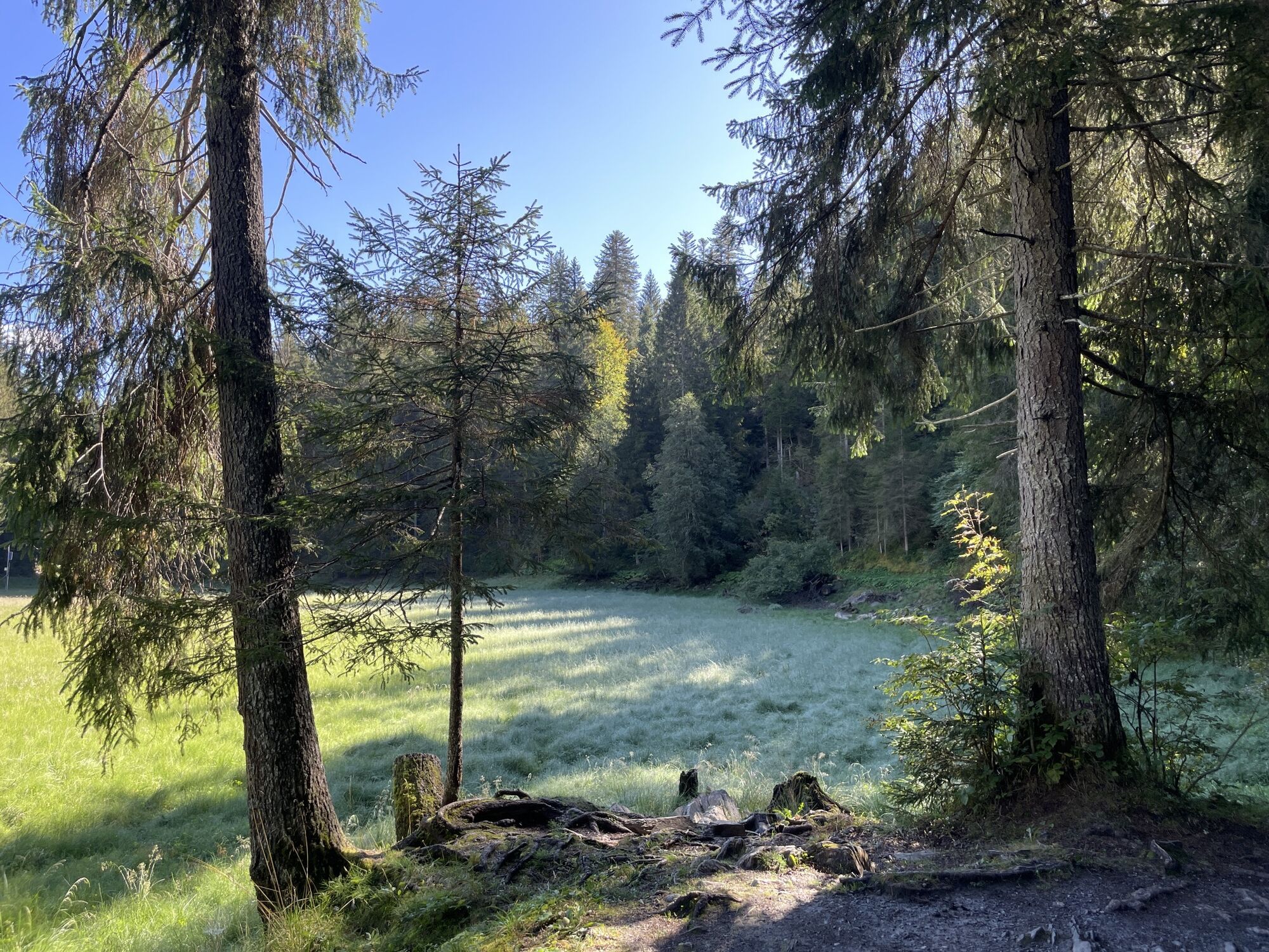
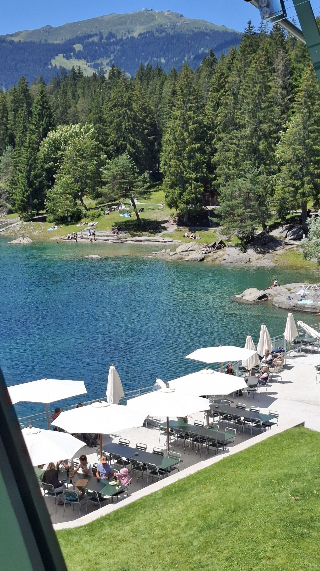
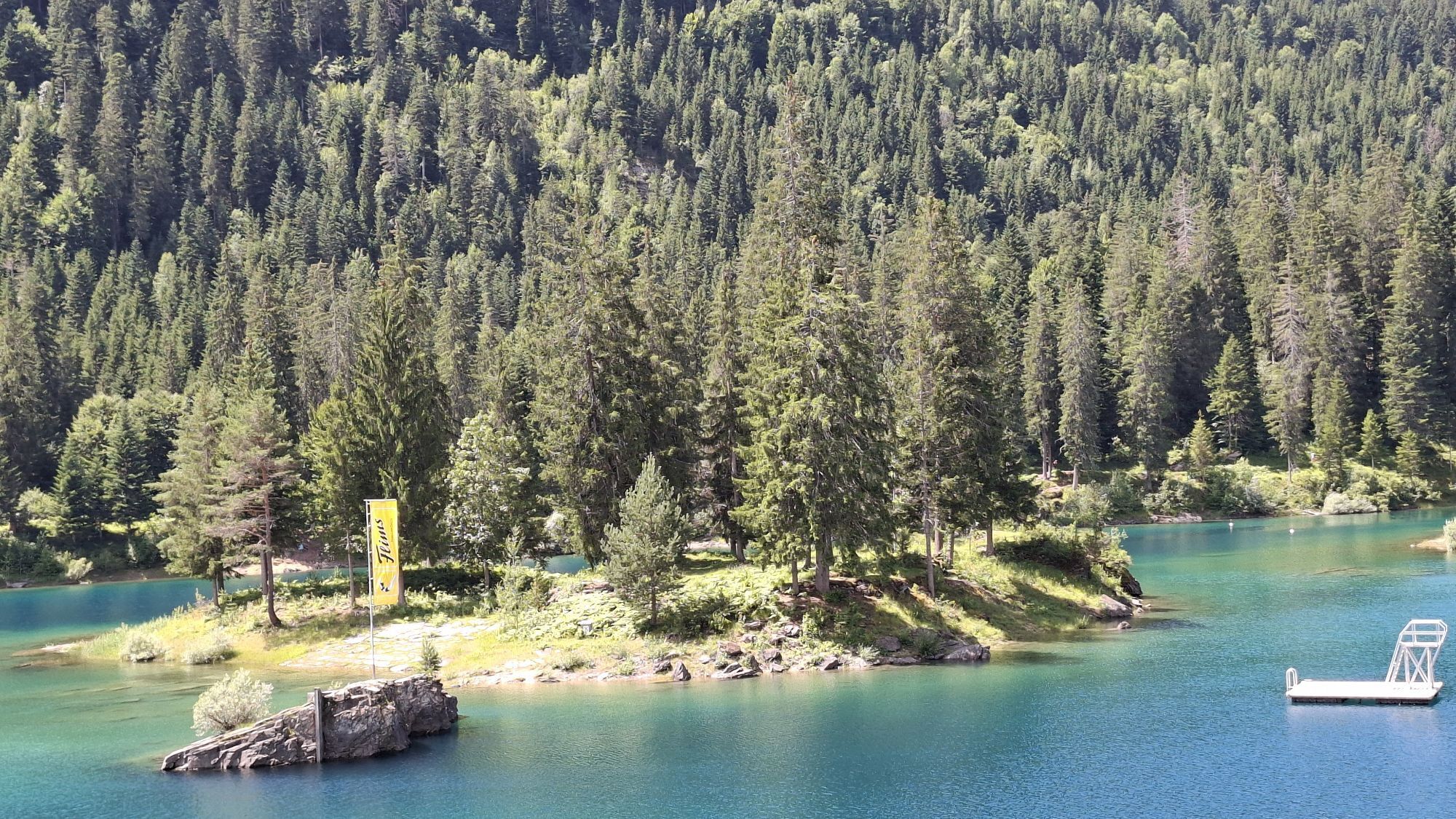
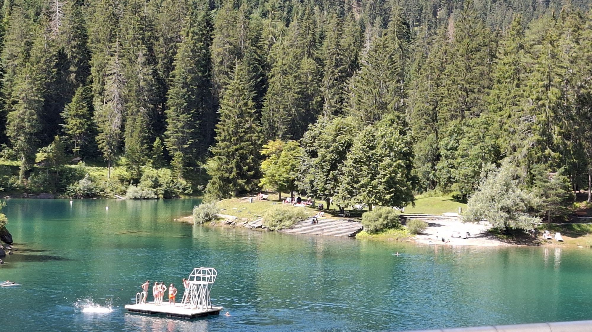
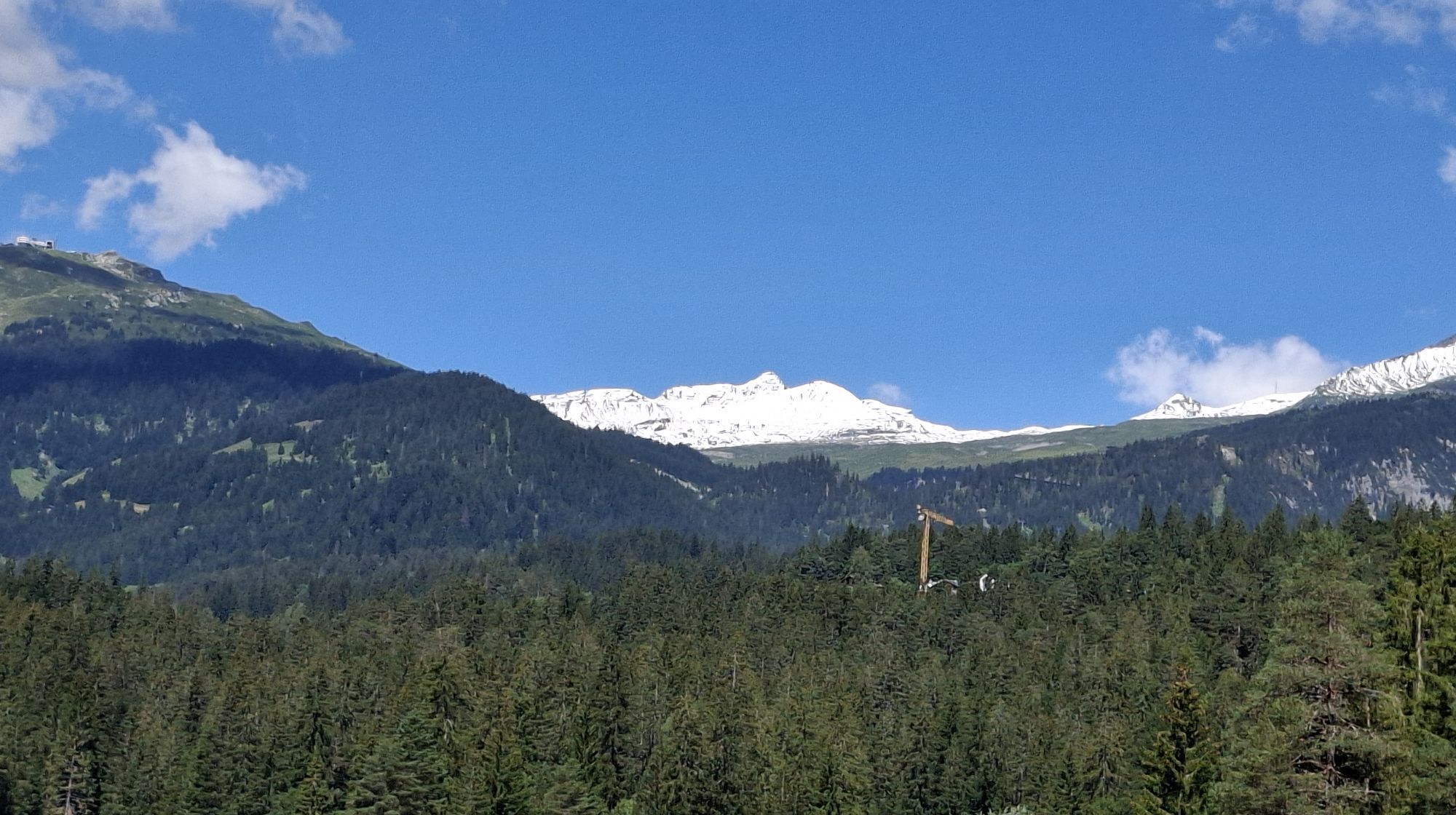
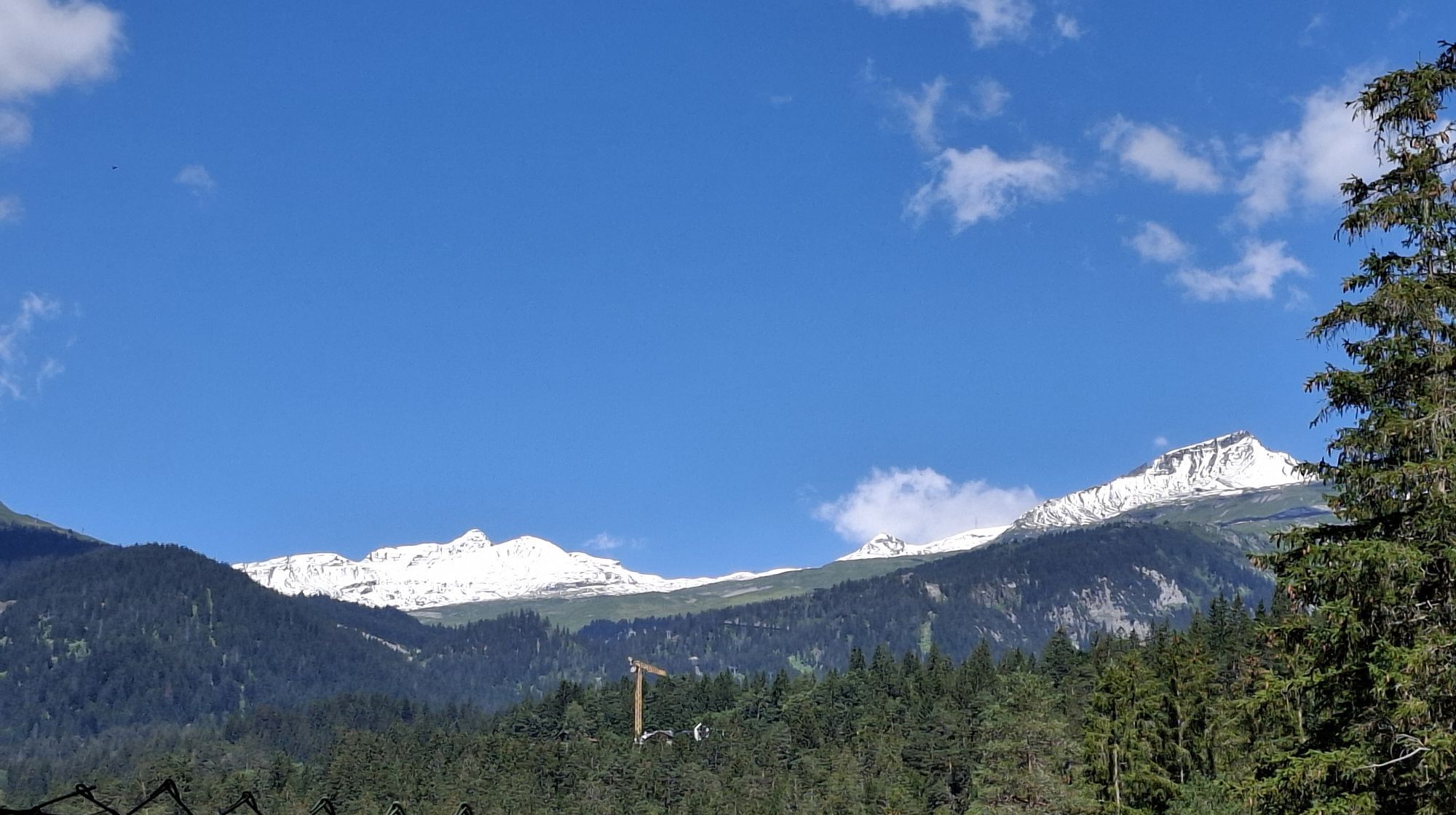
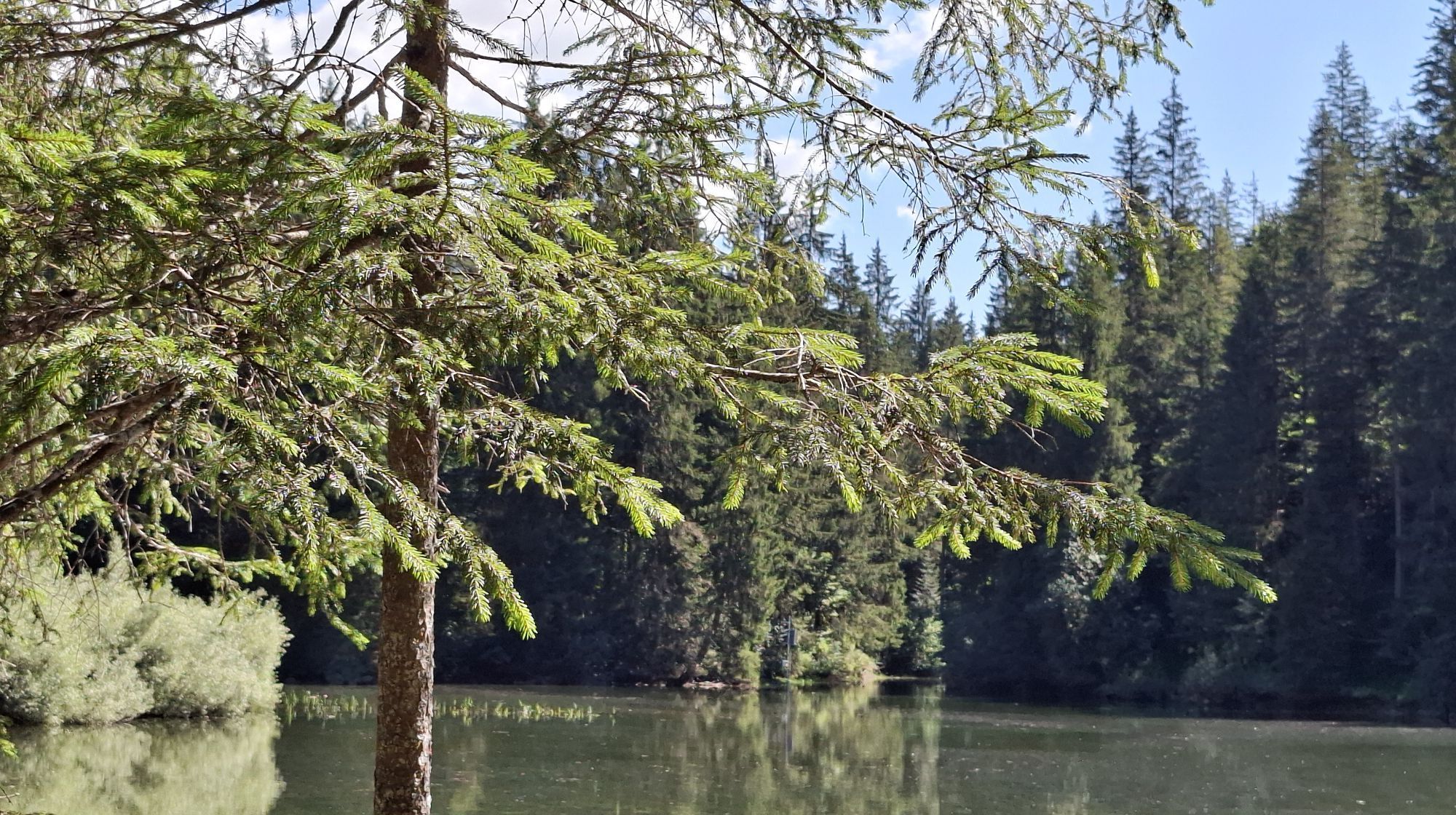
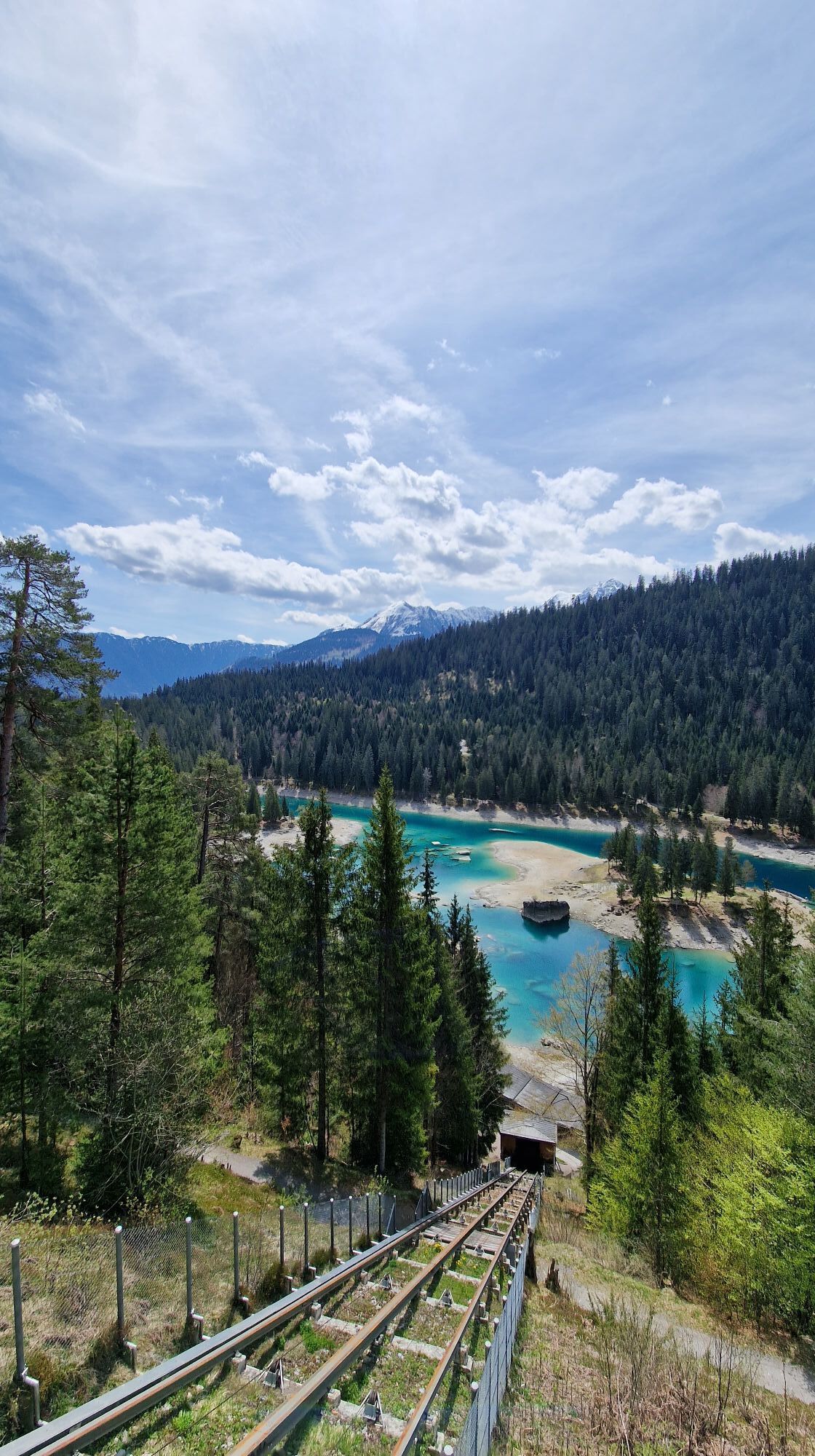
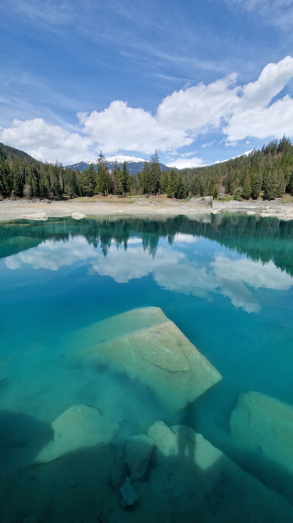
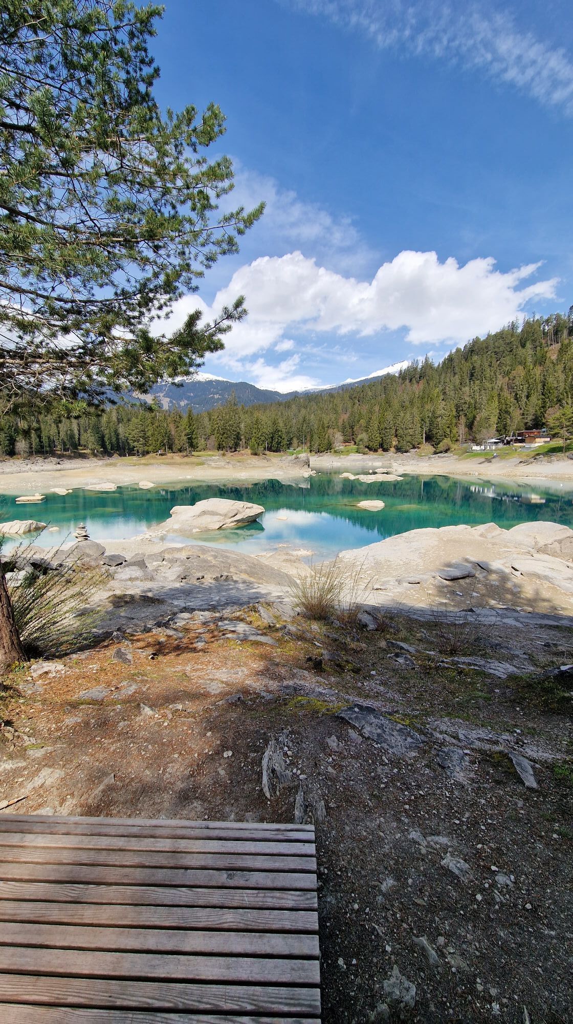
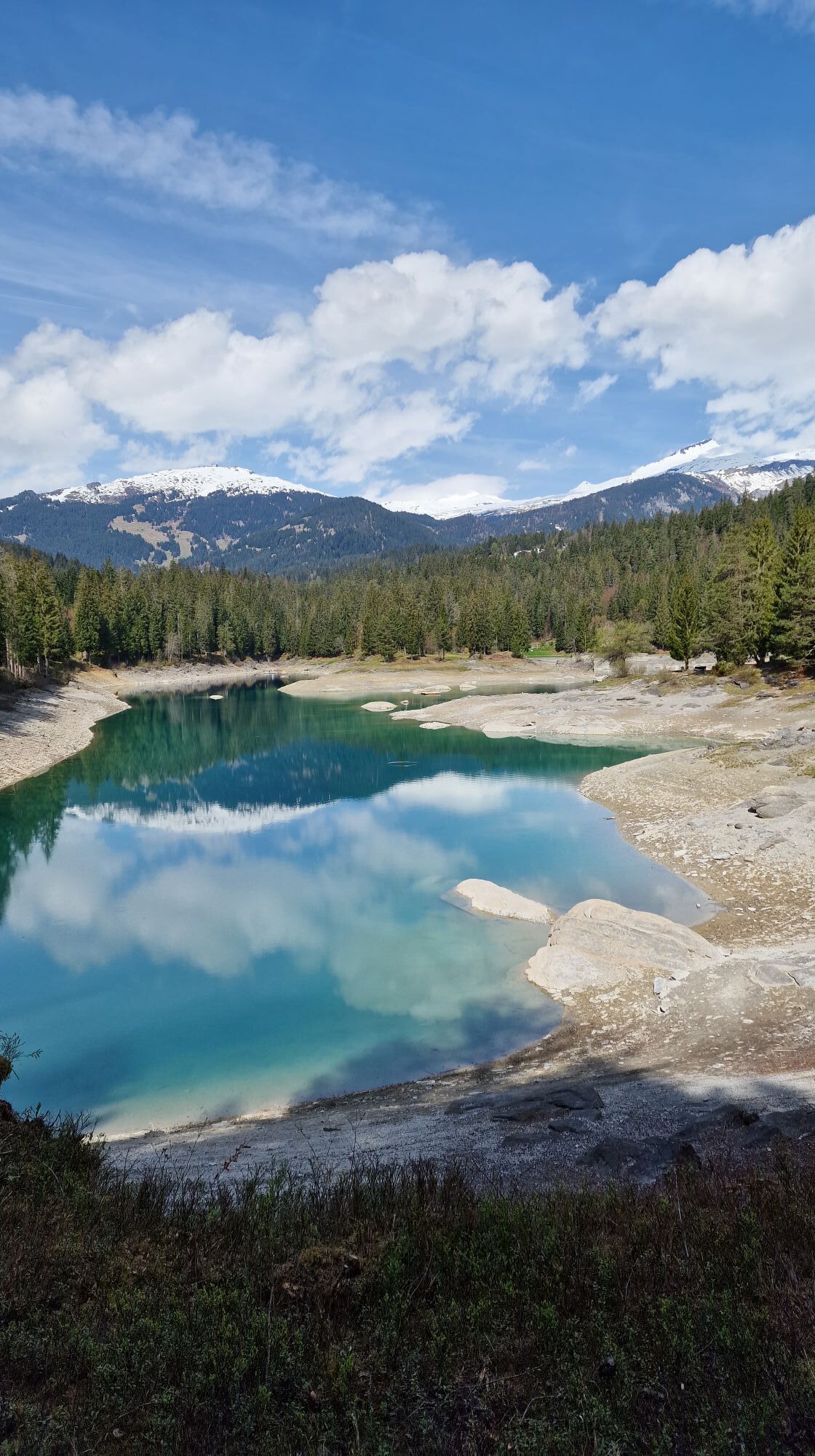
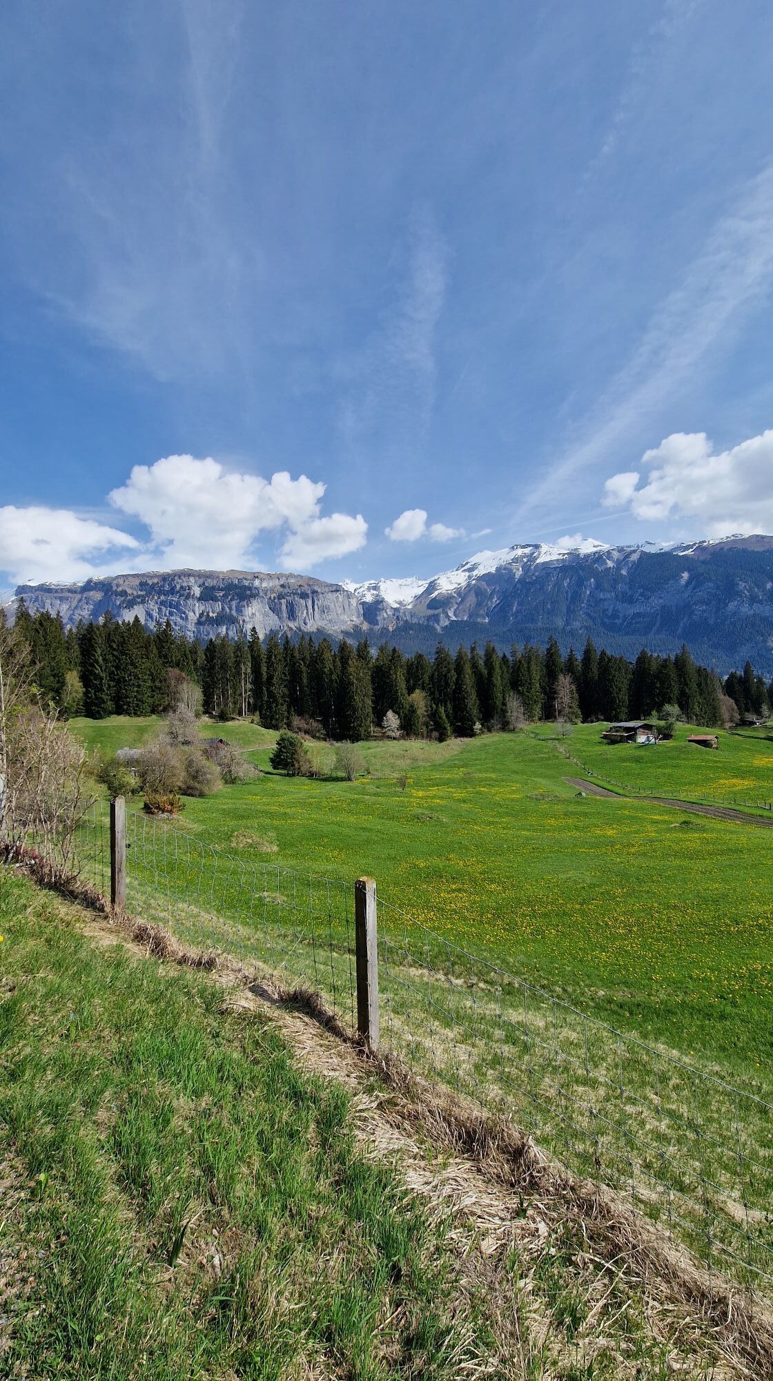
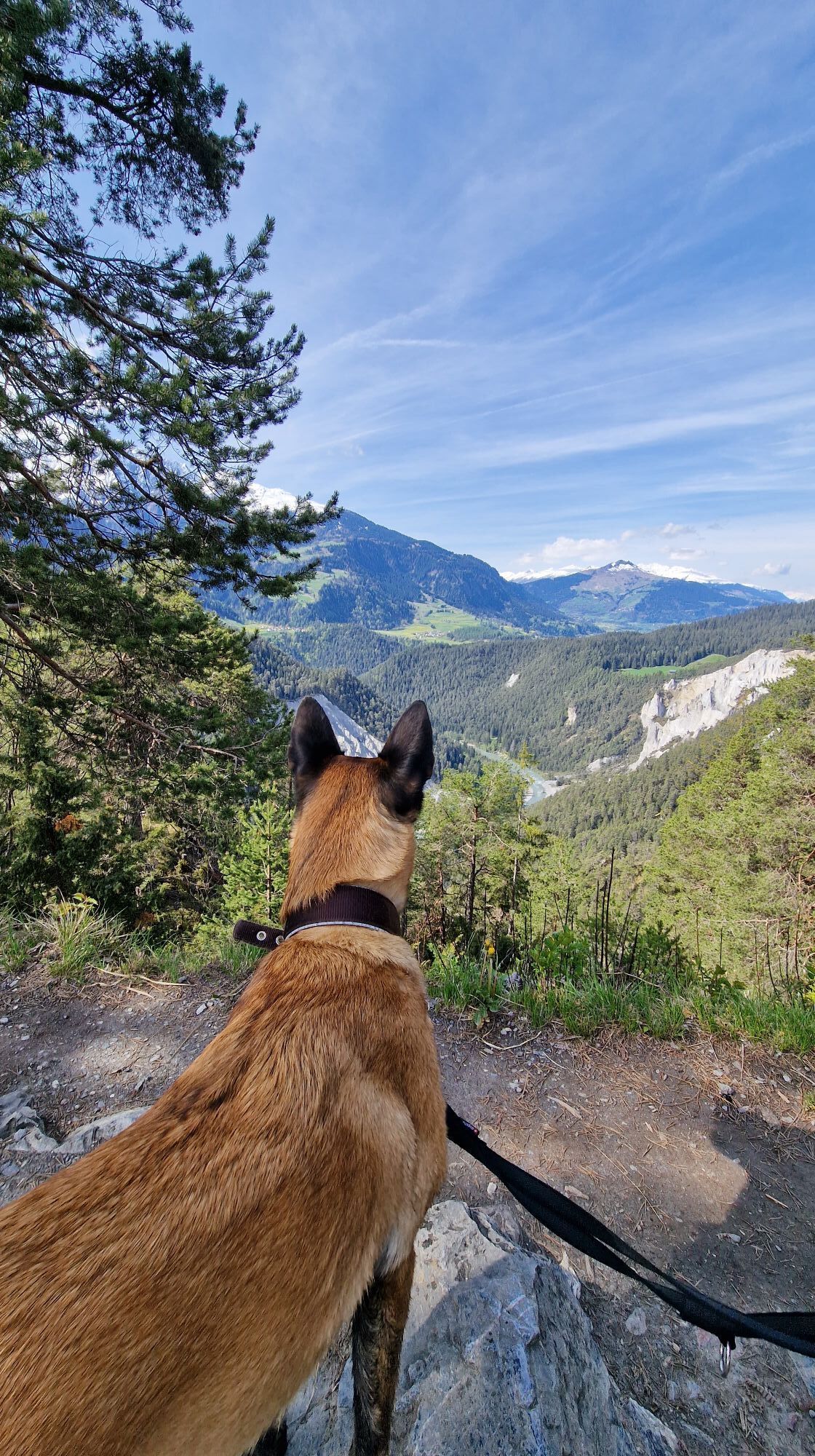
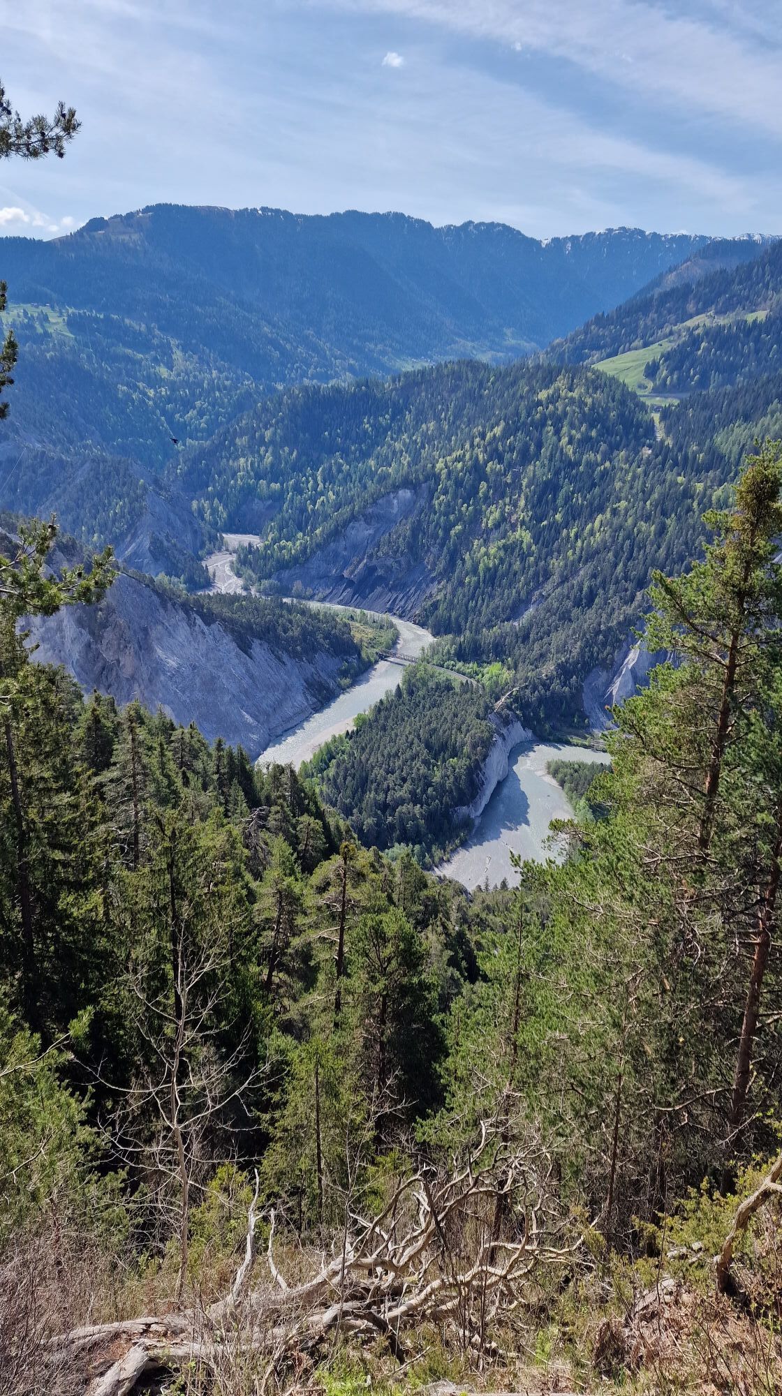
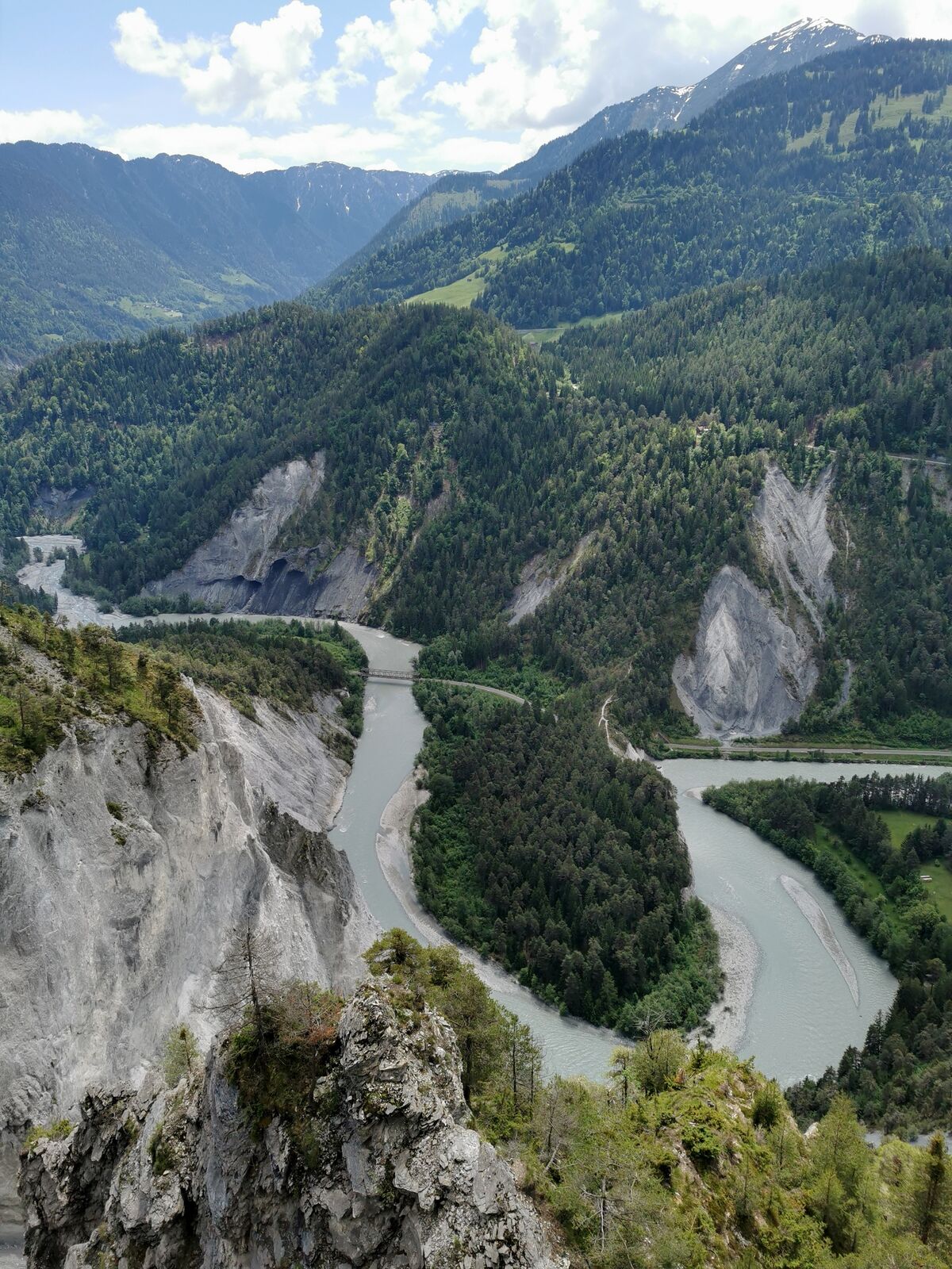
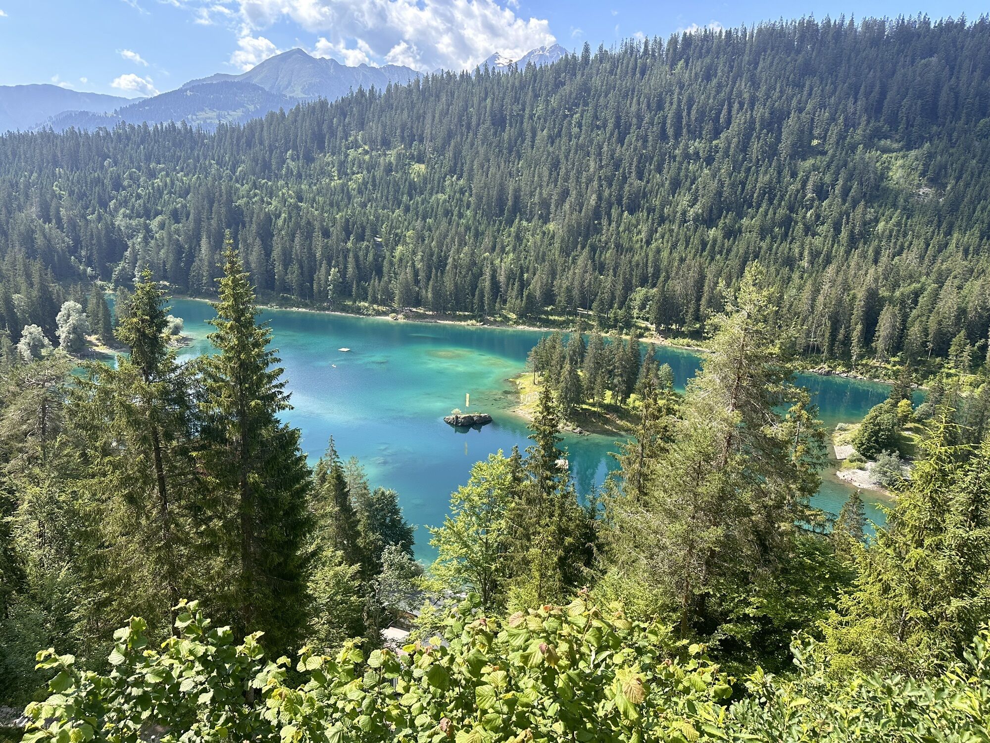
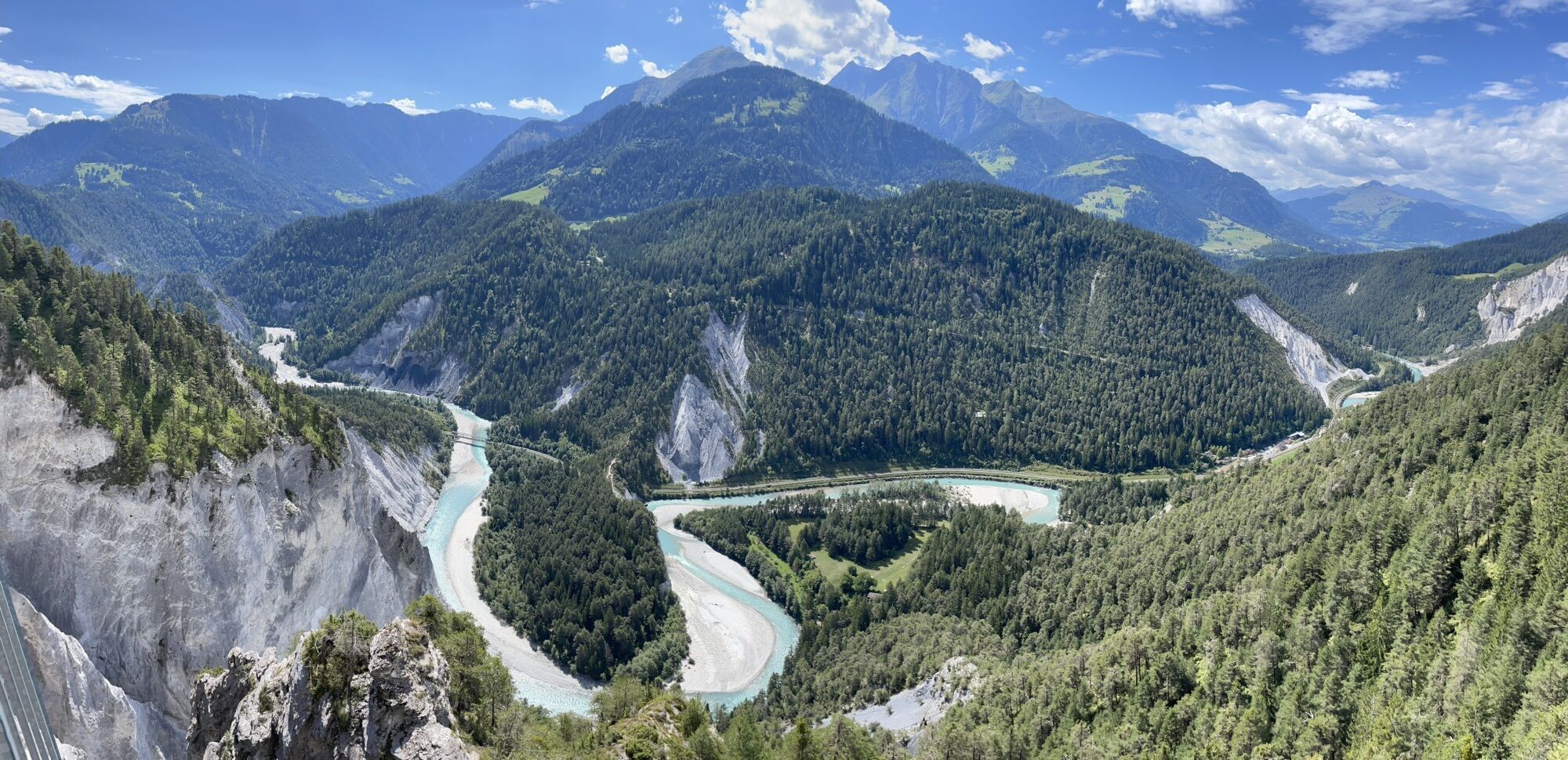
The Rhine Gorge near Flims is one of the most magnificent and diverse landscapes of the Alps. A wild gorge with a rushing river, white steep walls, and vast forests. The quiet lakes fill themselves as...
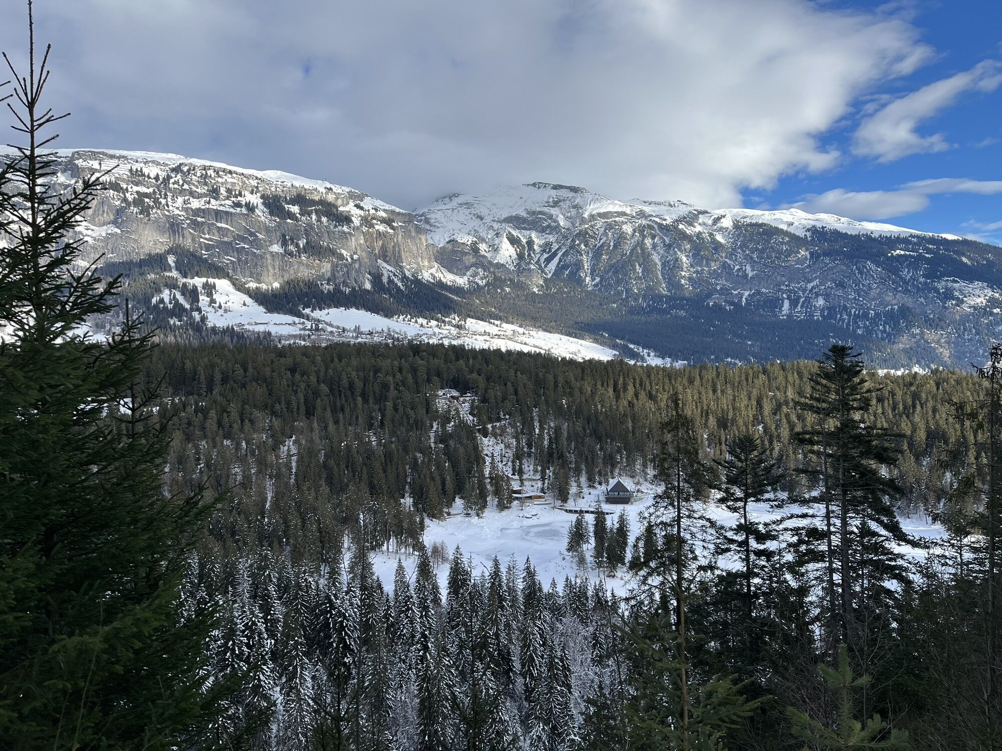
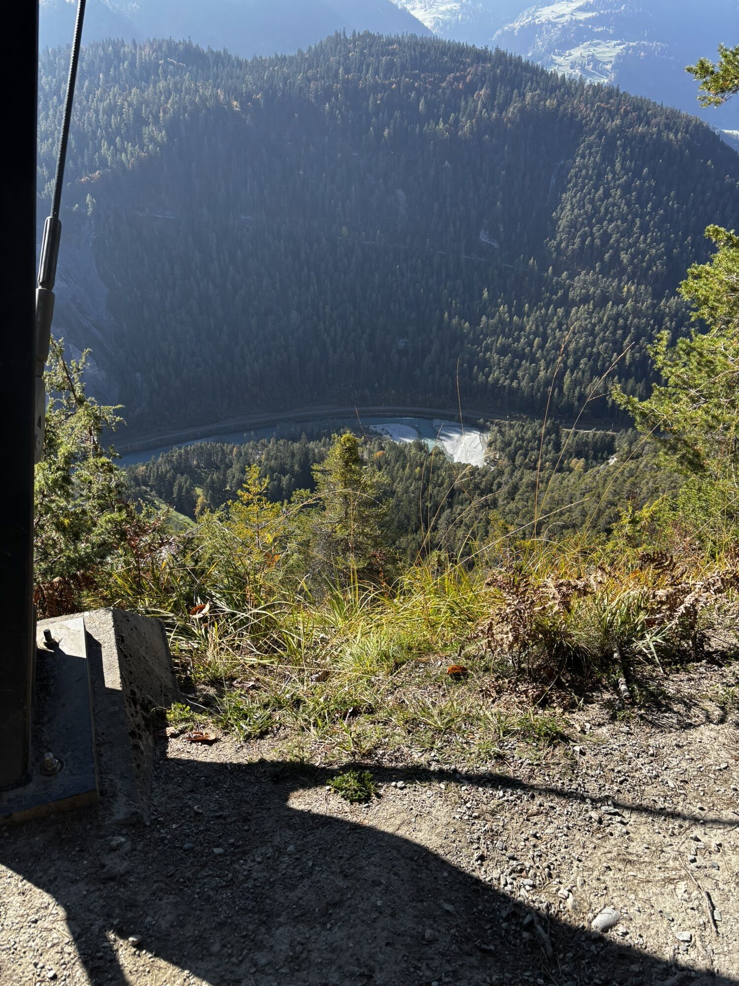
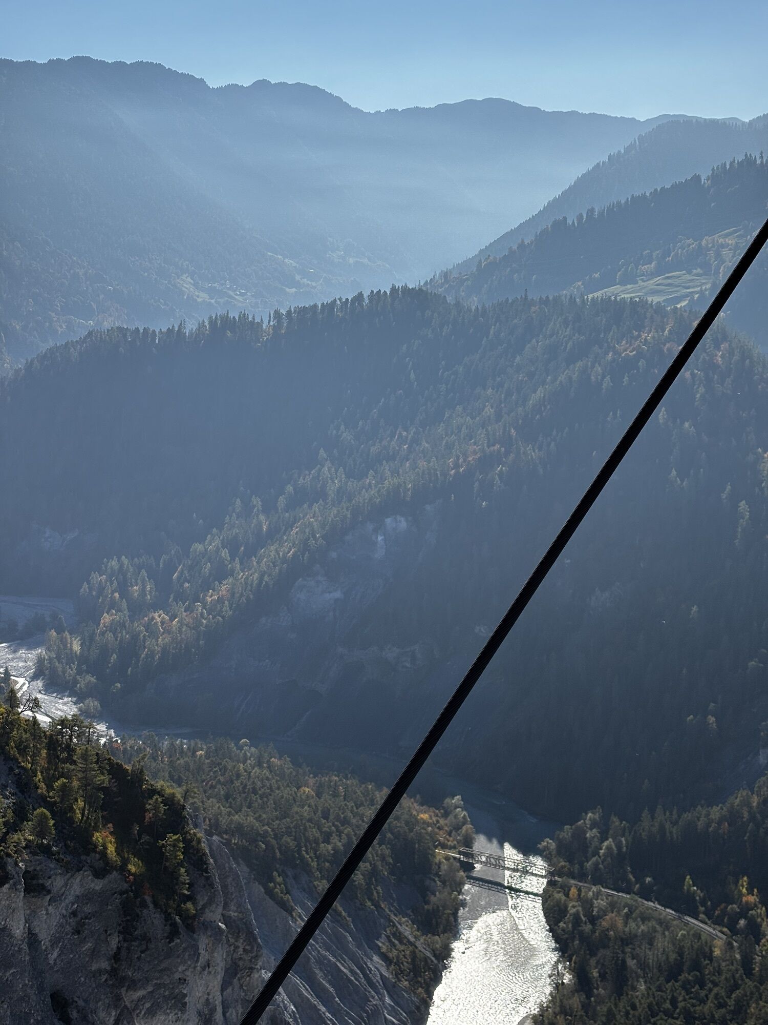
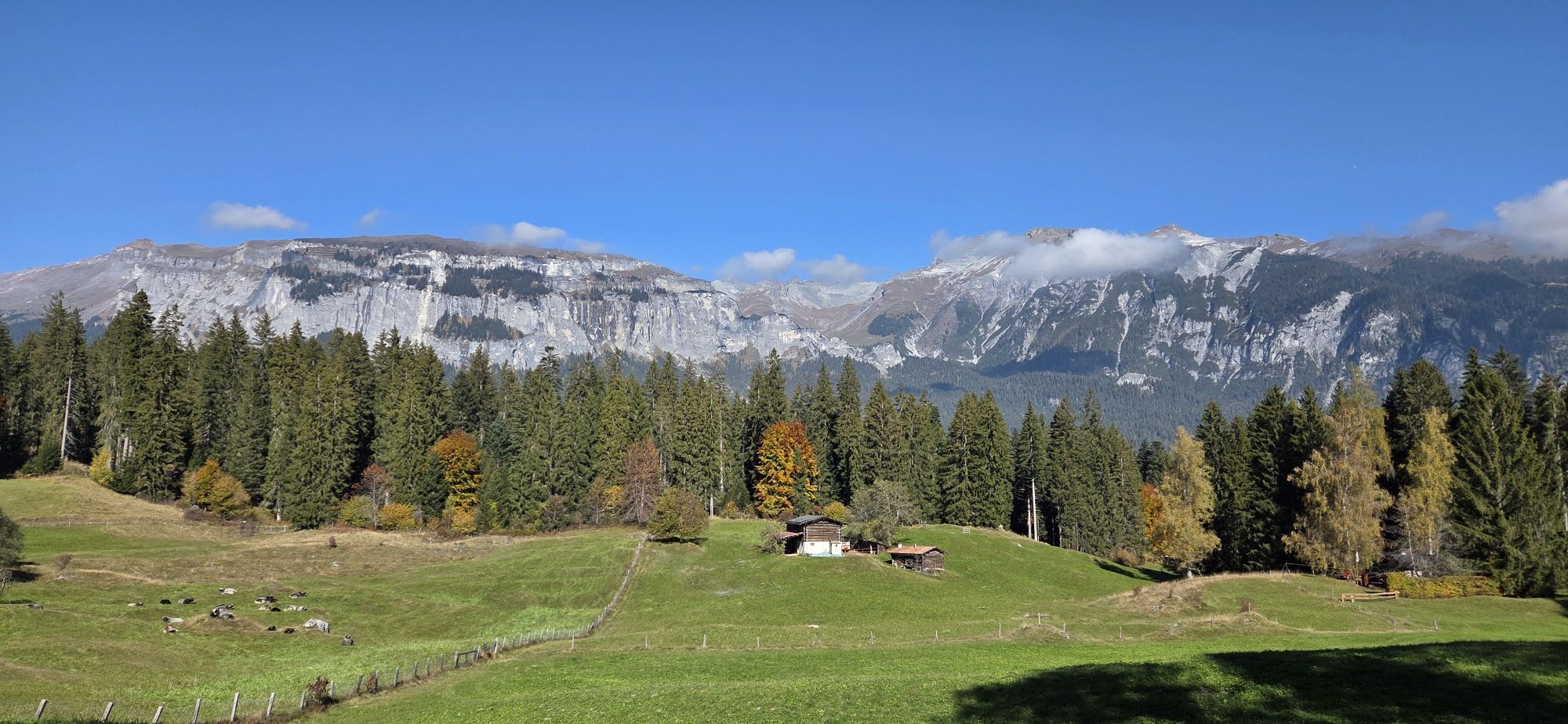
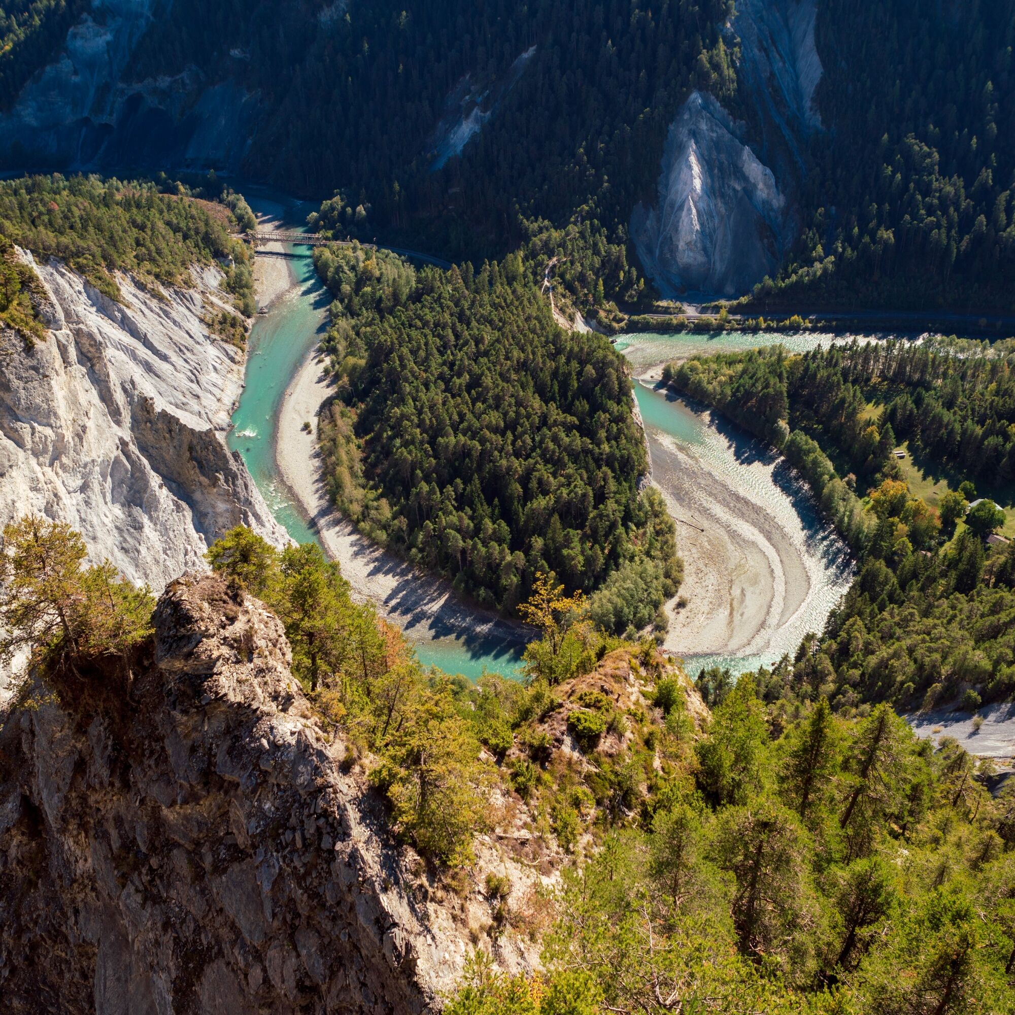
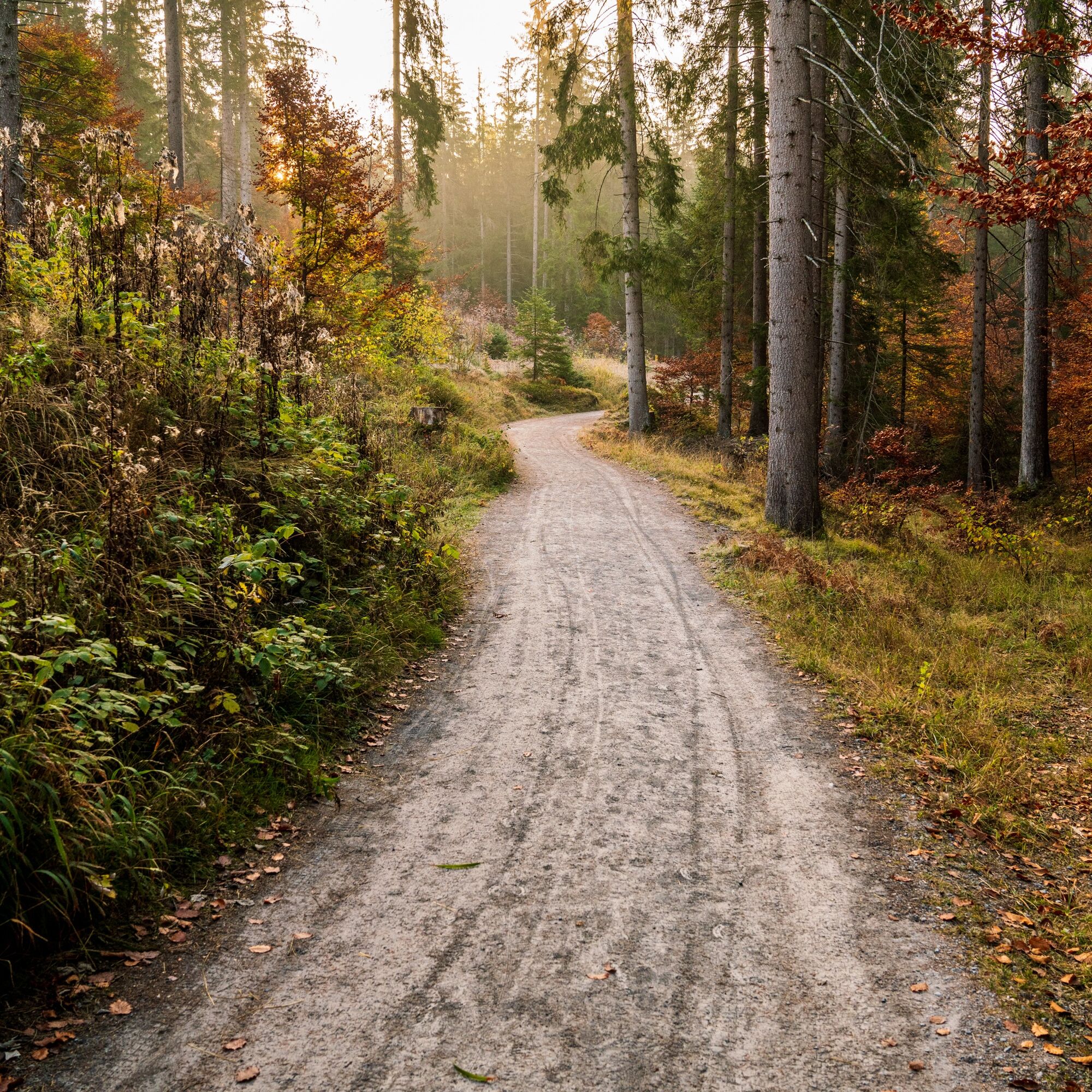
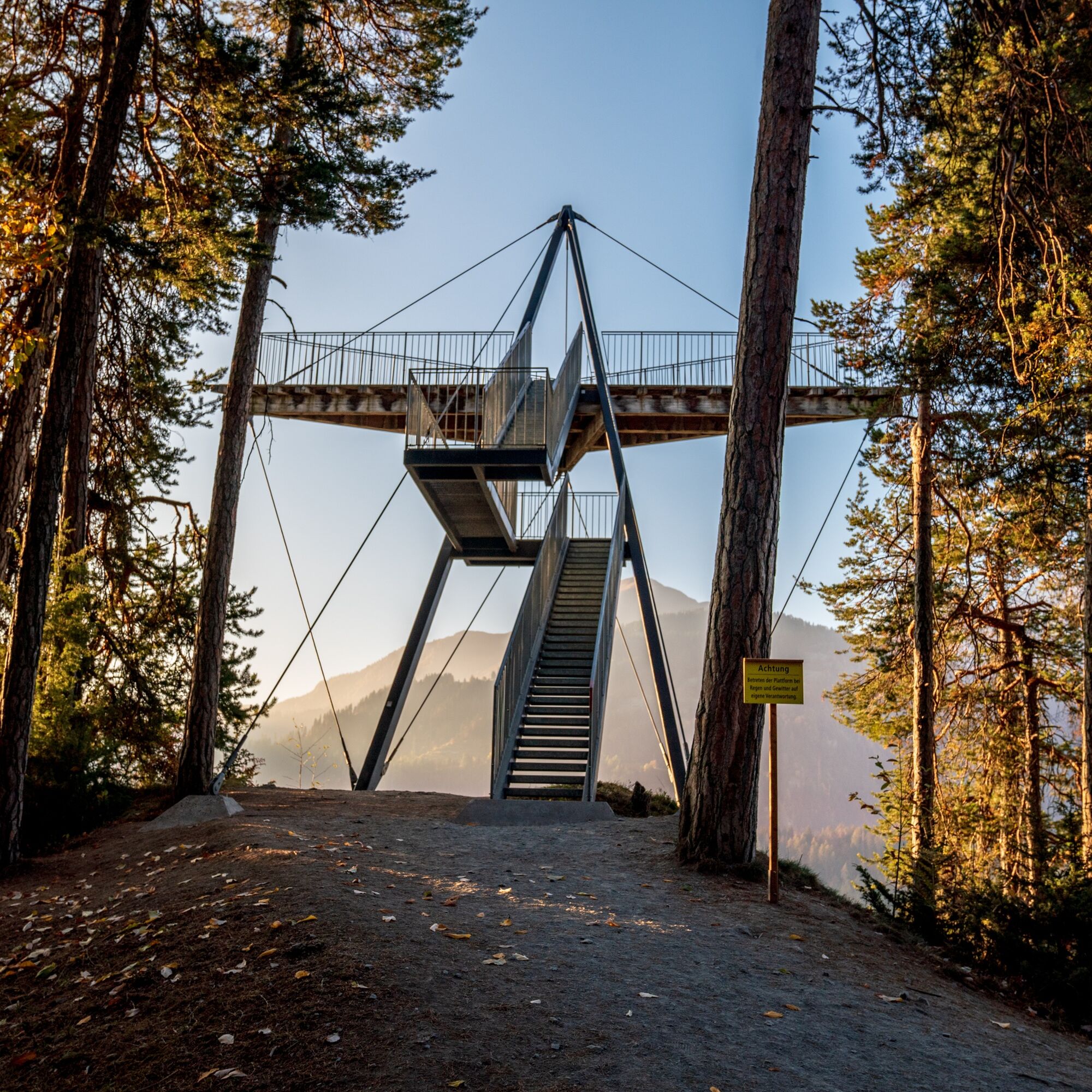
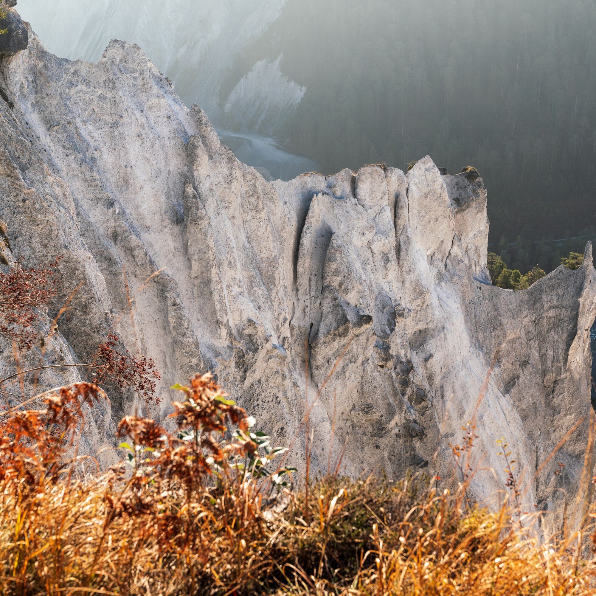
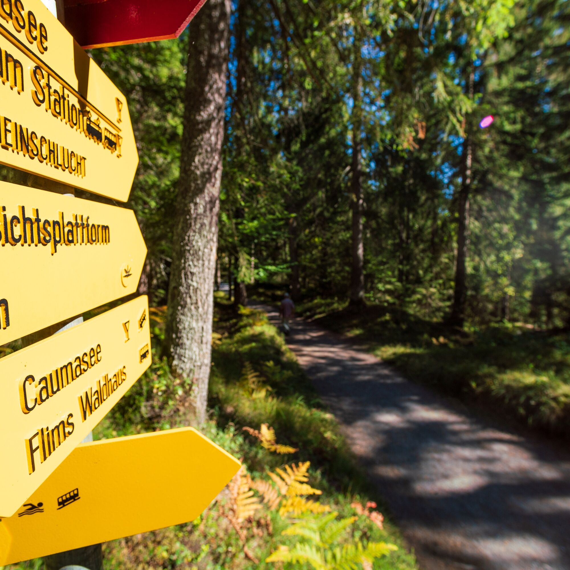
The Rhine Gorge near Flims is one of the most magnificent and diverse landscapes of the Alps. A wild gorge with a rushing river, white steep walls, and vast forests. The quiet lakes fill themselves as if by magic, rare birds breed in the floodplain forests. You can even find orchids in this little paradise. The history of the Rhine Gorge began with the huge Flims rockslide about 10,000 years ago. With over 10,000 million cubic meters of rock, it is the largest rockslide in the Alps and one of the most significant worldwide. The valley was completely filled by a debris mass several hundred meters thick over more than 50 km². On this beautiful hike, starting at Laax Staderas, you travel through Uaul Grond, the large forest on the rockslide masses of the Flims rockslide. Highlights are the viewing platform «Il Spir» above the Rhine Gorge in Conn and the Caumasee.

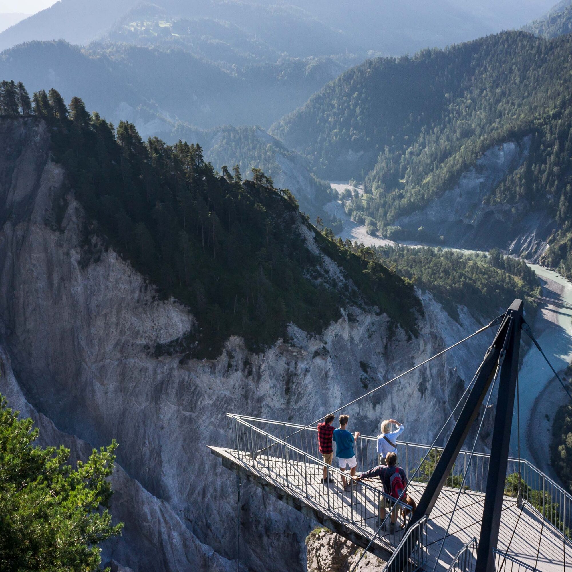
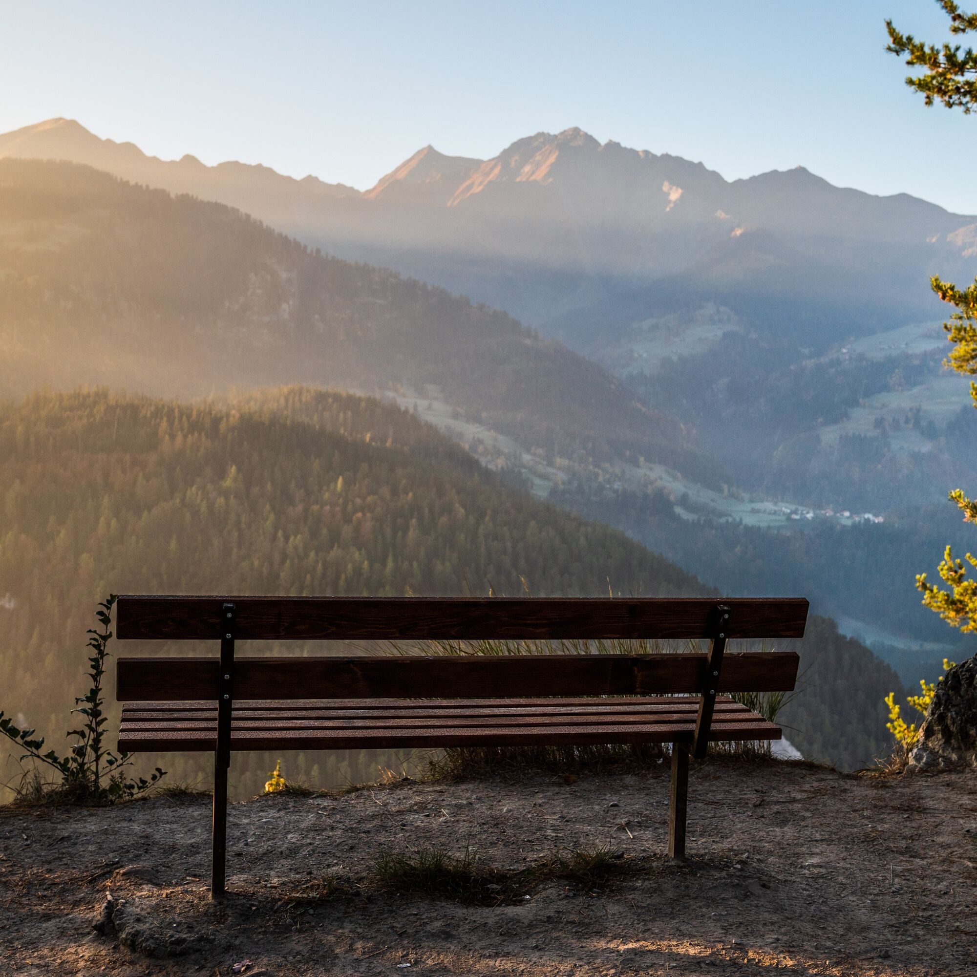
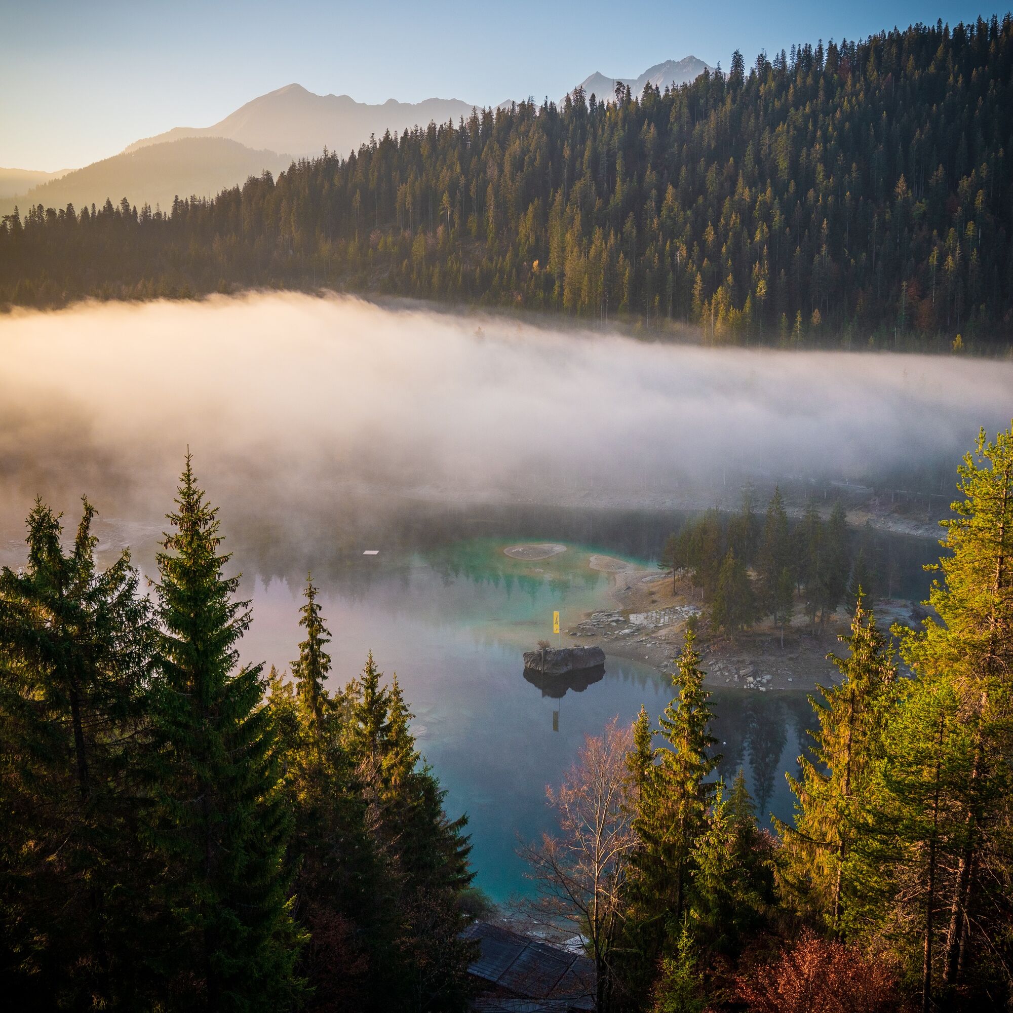
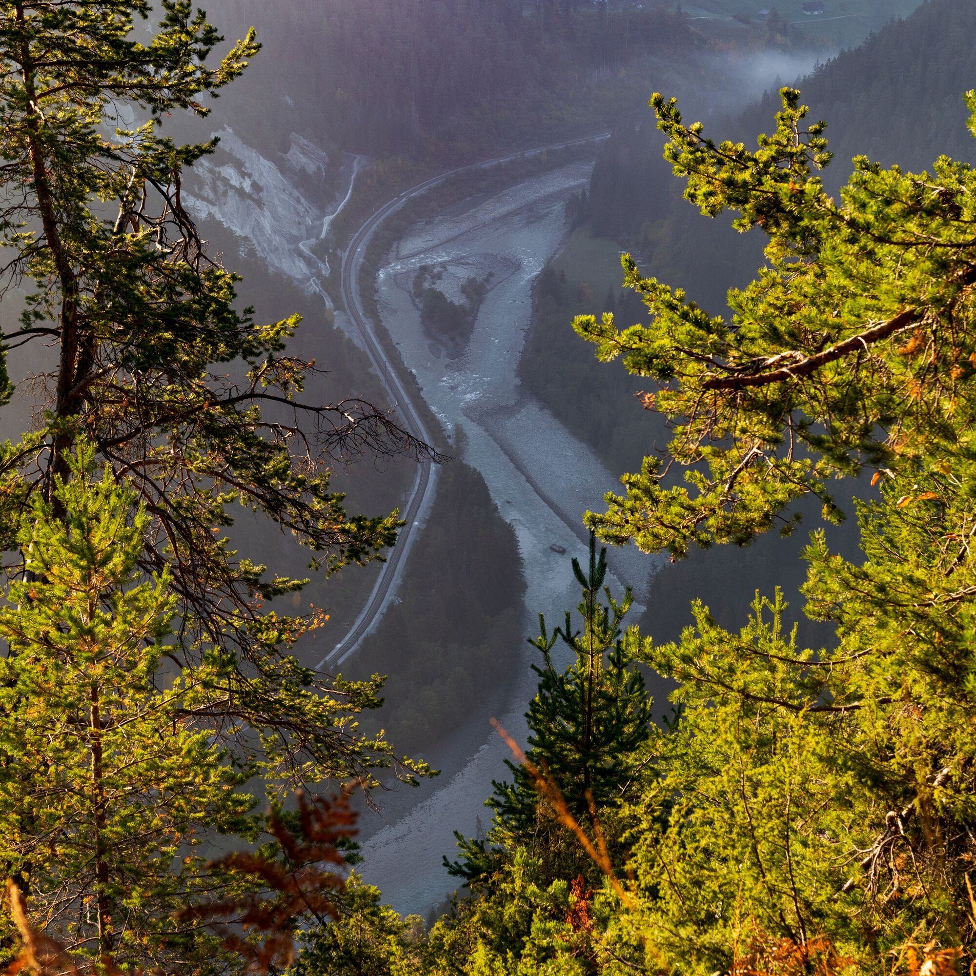

Staderas - Caumasee - Conn - Staderas
Tak
Tak
Consideration for bikers
By car via highway A13 from Zurich, direction Flims/Laax.
By postbus from Chur towards Flims / Laax.
Stop: Laax Staderas.
Parking lot with 22 paid parking spaces at Laax Staderas.
Guest information Flims Laax Falera
Via Nova 62
CH-7017 Flims
Tel: +41 (0)81 920 92 00
E-Mail: info@flimslaax.com
Web: www.flimslaax.com
Caumasee & Il Spir
 Uzyskaj wgląd
Zawsze na żywo z ponad 9 500 kamer internetowych. bergfex Jako użytkownik Pro, możesz teraz zobaczyć odpowiednie kamery internetowe dla wielu wycieczek w aplikacji wycieczki od. Pozwala to na bezpośredni podgląd aktualnych warunków.
Uzyskaj wgląd
Zawsze na żywo z ponad 9 500 kamer internetowych. bergfex Jako użytkownik Pro, możesz teraz zobaczyć odpowiednie kamery internetowe dla wielu wycieczek w aplikacji wycieczki od. Pozwala to na bezpośredni podgląd aktualnych warunków.


Popularne wycieczki w okolicy
-
4,5
4-lake hike: Caumasee - Crestasee - Felsbach Gorge
średniWędrówka 12,8 km -
4,8
Rheinschlucht: From Ilanz to Versam into the heart of the Rheinschlucht
średniWędrówka 11,4 km -
4,7
The Water Trail: Trutg dil Flem 764
ciężkiTrasa tematyczna 8,56 km -
5,0
Caumasee tour: Flims - Caumasee - Conn - Flims
światłoWędrówka 7,94 km -
4,7
Mountain hike to the Strudeltöpfe on Alp Mora: Bargis-Trin
ciężkiWędrówka 18 km -
5,0
Lower Segnesboden: Nagens Sura - Lower Segnesboden - Segnes hut - Alp Nagens
średniWędrówka 6,66 km -
4,5
St. Martin - Alp Sardona - St. Martin
średniWędrówka 14,2 km -
4,3
Circular hike: Falera-Curnius-Alp Dadens-Falera
średniWędrówka 11,4 km -
3,0
Tour zum Martinsloch
ciężkiWędrówka 3,82 km -
5,0
Circular route: Lake Cauma - Rhine Gorge "Swiss Grand Canyon"
średniWędrówka 19,8 km
Wędrówki i tropienie


Nie przegap ofert i inspiracji na następne wakacje
Twój adres e-mail została dodana do listy mailingowej.





