


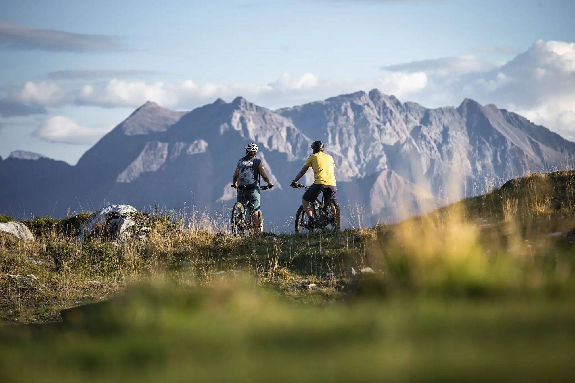
Alp Dadens bike tour
Poziom trudności: S2
Zdjęcia naszych użytkowników

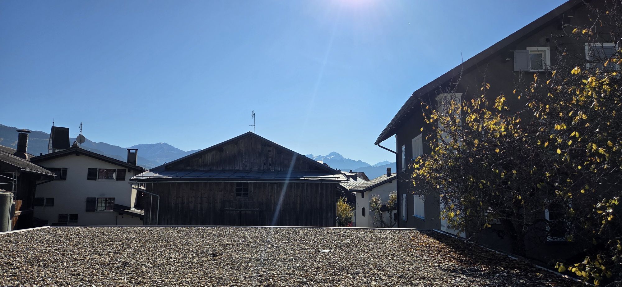
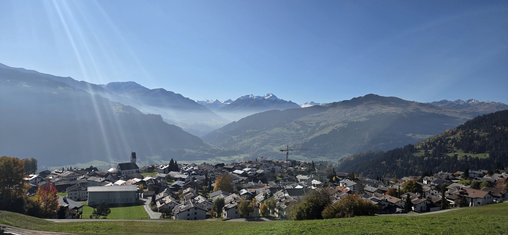
 © Rico VincenzUtworzono dnia 03.05.2026
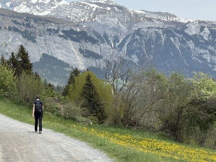 © Rico VincenzUtworzono dnia 03.05.2026
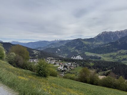 © Rico VincenzUtworzono dnia 03.05.2026
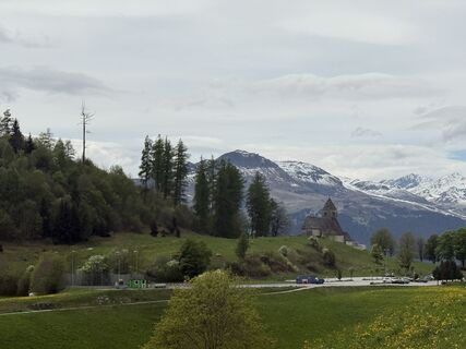 © Rico VincenzUtworzono dnia 03.05.2026
 © Rico VincenzUtworzono dnia 03.05.2026
 © . 3Utworzono dnia 18.10.2025
 © . 3Utworzono dnia 18.10.2025
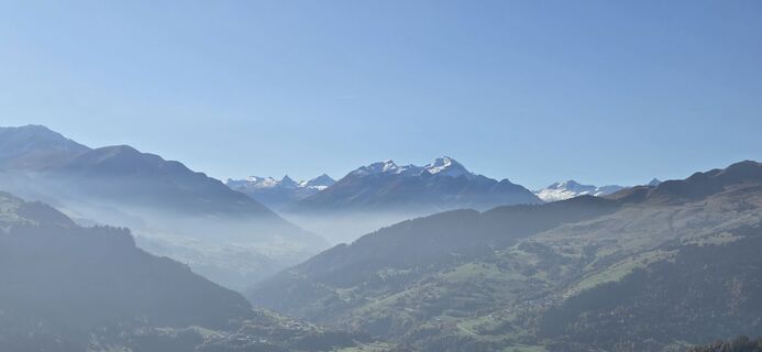 © . 3Utworzono dnia 18.10.2025
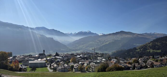 © . 3Utworzono dnia 18.10.2025
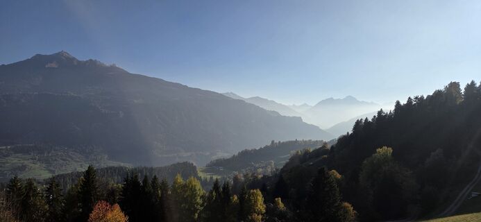 © . 3Utworzono dnia 17.10.2025
 © Marius TrompetterUtworzono dnia 12.07.2025
 © Marius TrompetterUtworzono dnia 12.07.2025
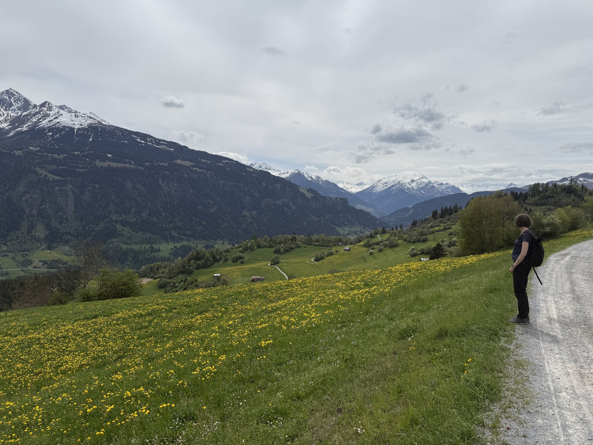


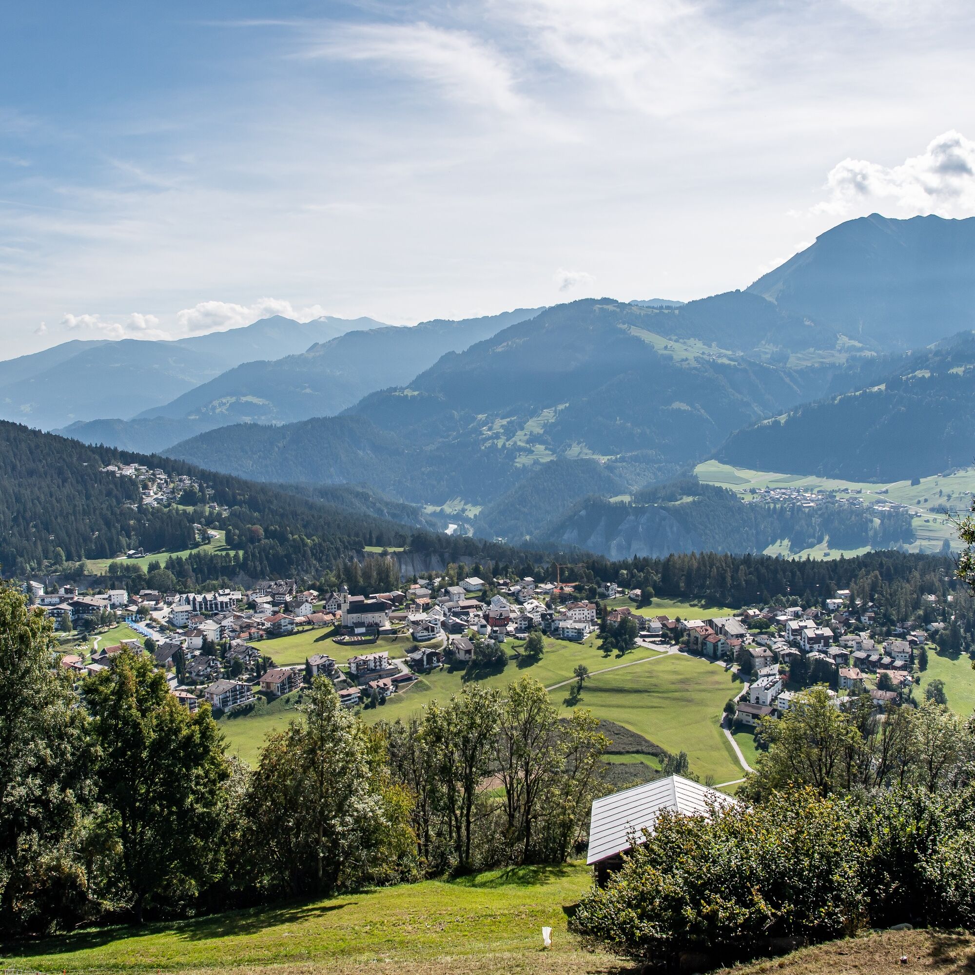
From Laax Murschetg you go up via the Planet Trail to Falera, where a short detour to Parc la Mutta offers an optimal view of the Surselva. Through the narrow alleys of Falera you reach a well-developed...
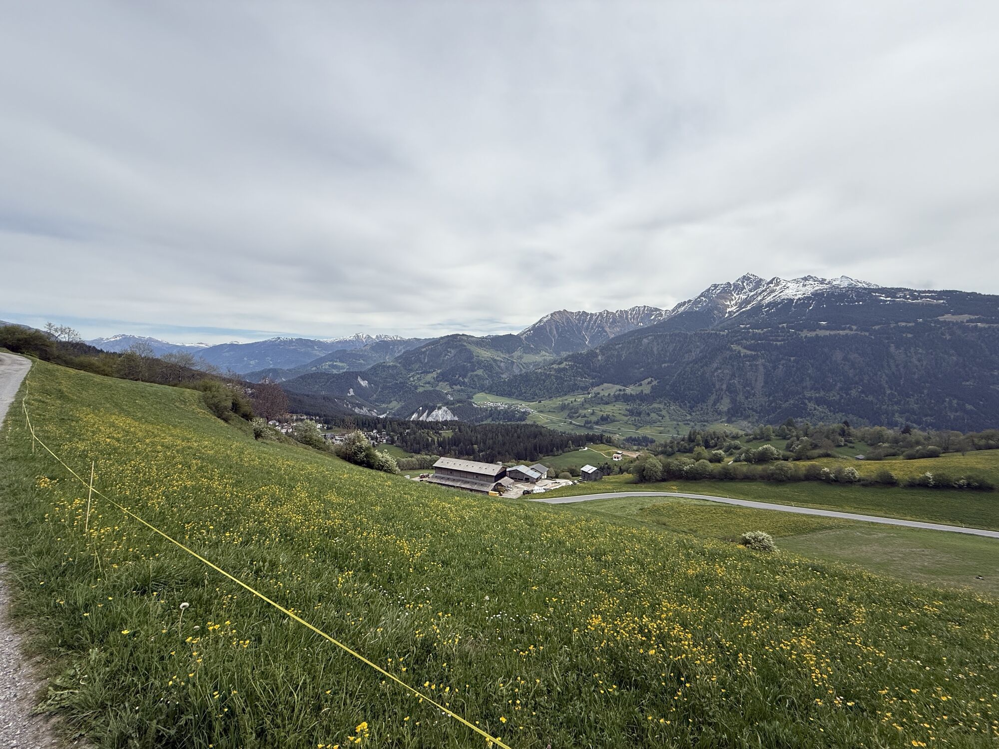
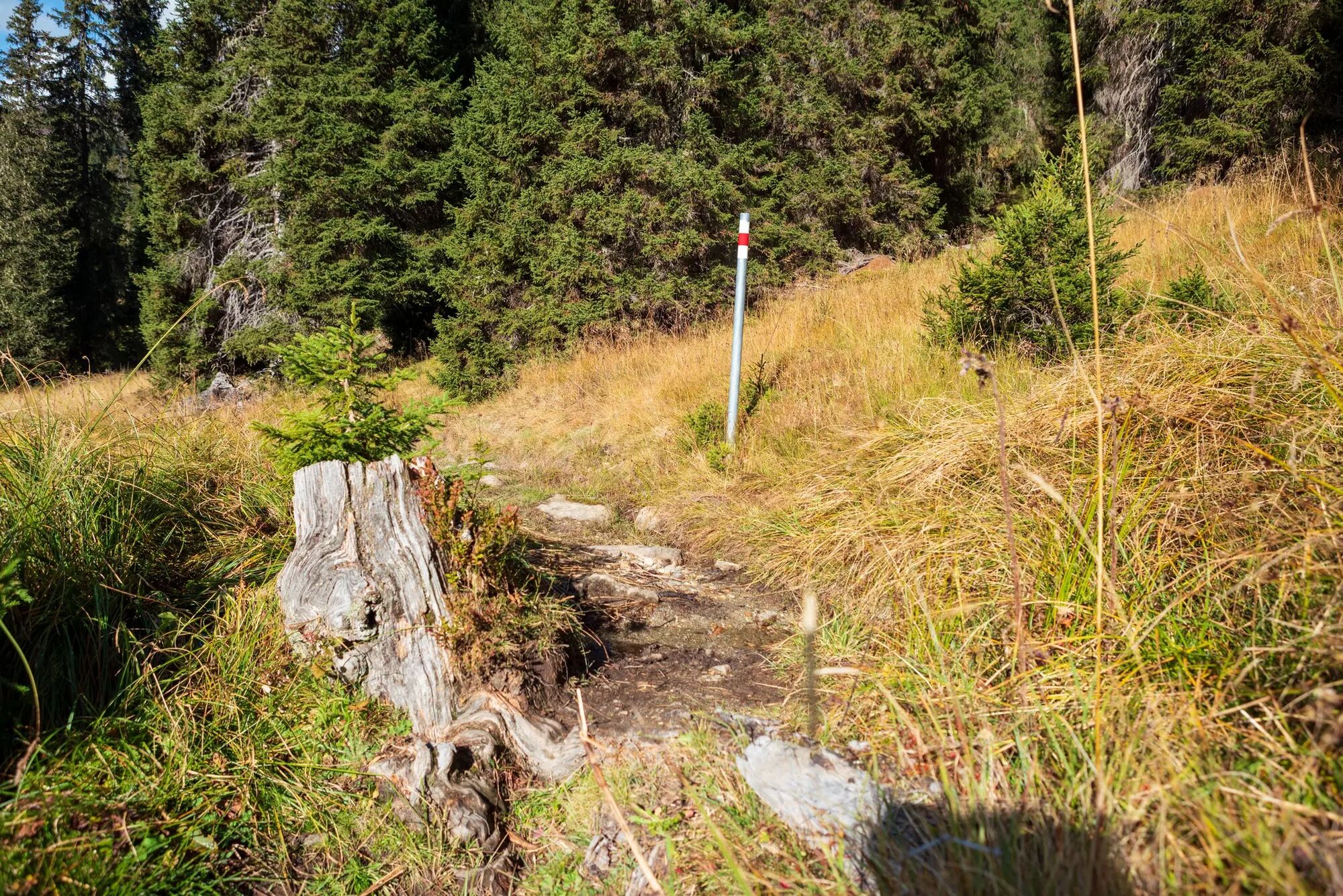
From Laax Murschetg you go up via the Planet Trail to Falera, where a short detour to Parc la Mutta offers an optimal view of the Surselva. Through the narrow alleys of Falera you reach a well-developed alpine road leading up towards Crap Sogn Gion. Passing mountain farms, alpine huts, and lush mountain meadows, you ascend via a wide and well-marked natural road up to 1800 meters. After climbing the last approximately 800 meters of elevation, the route branches off via a small bridge onto the natural and rooty trail.
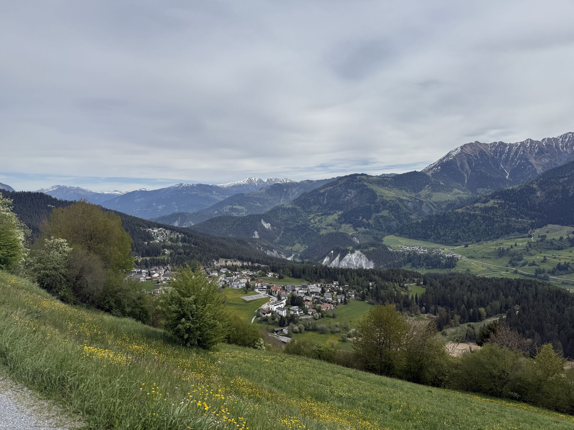
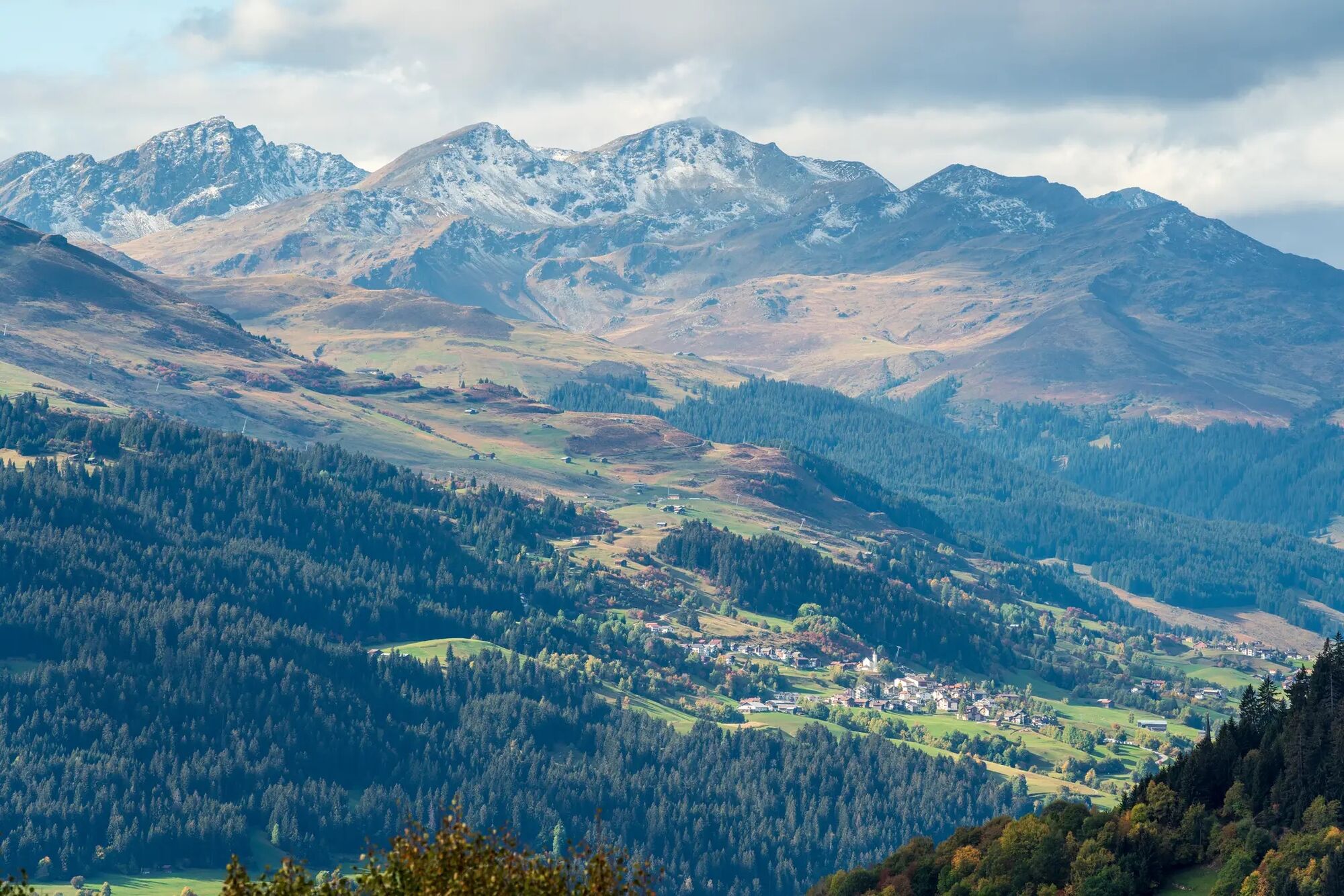
From there on, it goes downhill on the easy singletrail descent to Falera, where you enjoy a beautiful view of the Signina Group and the famous Rhine Gorge. From Falera you return on the high path back to Laax Murschetg, where the route can be perfectly ended with a coffee or a cool drink.
The route is suitable for beginners and advanced riders, with or without e-bike. Confident riding on easy trails is especially required in the upper section. Along the route, the e-bike can be charged at one of the numerous e-bike charging stations in the region.


Laax Murschetg - Falera - Alp Dadens - Falera Laax Murschetg
Tak
Repair kit and first aid kit belong in the backpack.
Watch out for hikers. In the canton of Graubünden we share the trails.
By car via the A13 motorway from Zurich to Chur, exit 18 Laax
Stop: Laax, mountain railways
By postal bus from Chur or the public Flims Laax Falera Shuttle.
Timetable
www.sbb.ch
Parking spaces in the Stenna Flims Bergbahnen car park (parking costs CHF 2.40 per hour)
S2
Guest information Flims Laax Falera
Via Nova 62
CH-7017 Flims
Tel: +41 (0)81 920 92 00
E-mail: info@flimslaax.com
Internet: www.flimslaax.com
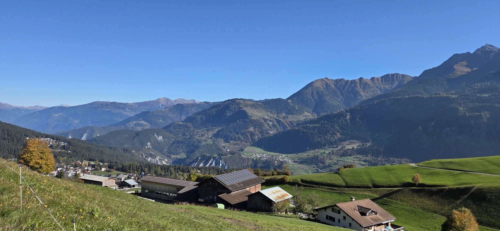
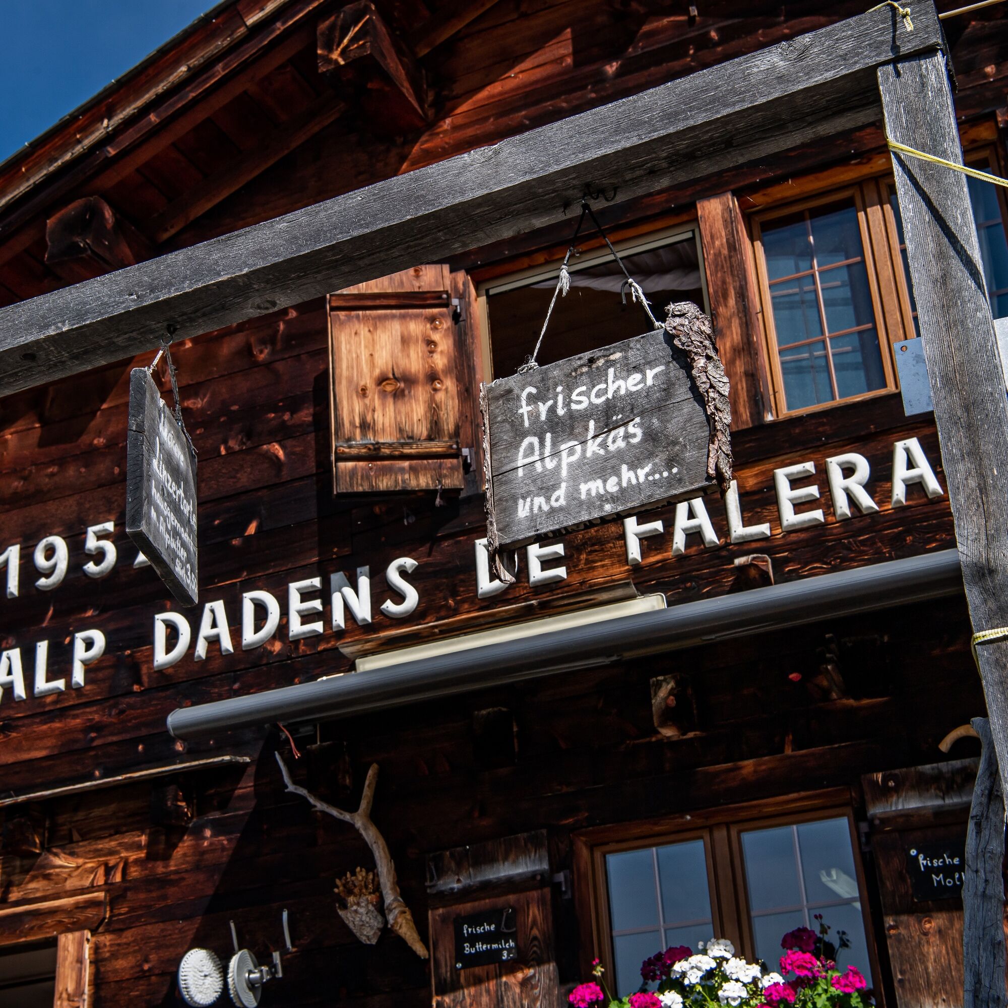
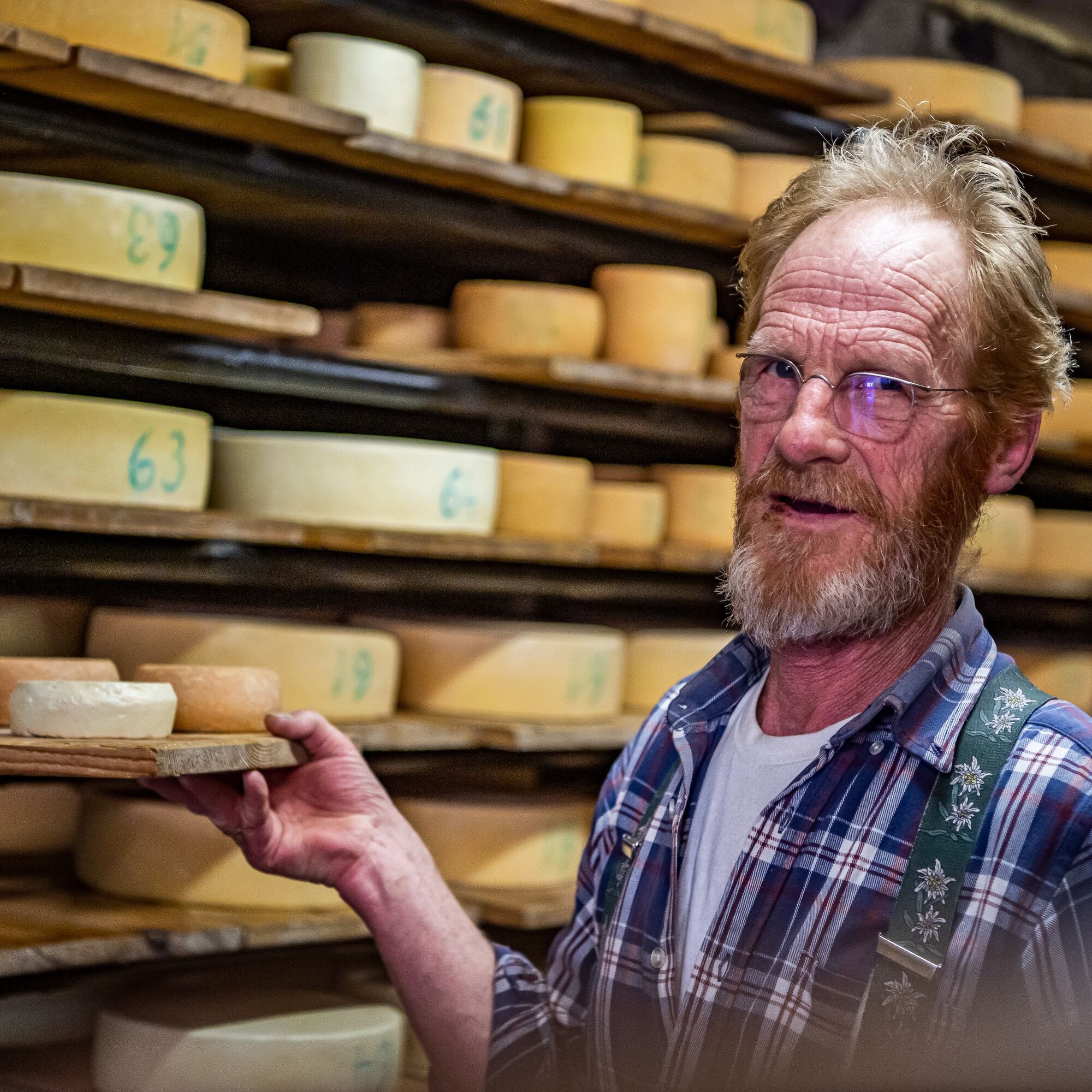
Break at the Alp Dadens dairy
Popularne wycieczki w okolicy
- 4,5
4-lake hike: Caumasee - Crestasee - Felsbach Gorge
średniWędrówka 12,8 km - 4,8
Rheinschlucht: From Ilanz to Versam into the heart of the Rheinschlucht
średniWędrówka 11,4 km - 4,7
Rhine Gorge Hike: Senda Ruinaulta (659)
światłoWędrówka 9,39 km - 4,7
The Water Trail: Trutg dil Flem 764
ciężkiTrasa tematyczna 8,56 km - 5,0
Caumasee tour: Flims - Caumasee - Conn - Flims
światłoWędrówka 7,94 km - 4,7
Mountain hike to the Strudeltöpfe on Alp Mora: Bargis-Trin
ciężkiWędrówka 18 km - 5,0
High valley Val Frisal
ciężkiWędrówka 12,4 km - 5,0
Lower Segnesboden: Nagens Sura - Lower Segnesboden - Segnes hut - Alp Nagens
średniWędrówka 6,66 km - 4,5
St. Martin - Alp Sardona - St. Martin
średniWędrówka 14,2 km - 4,3
Circular hike: Falera-Curnius-Alp Dadens-Falera
średniWędrówka 11,4 km
Wędrówki i tropienie


Nie przegap ofert i inspiracji na następne wakacje
Twój adres e-mail została dodana do listy mailingowej.