






The rock path
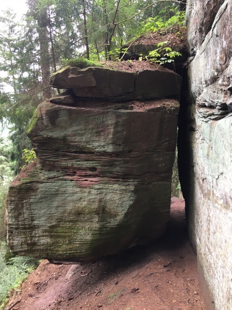
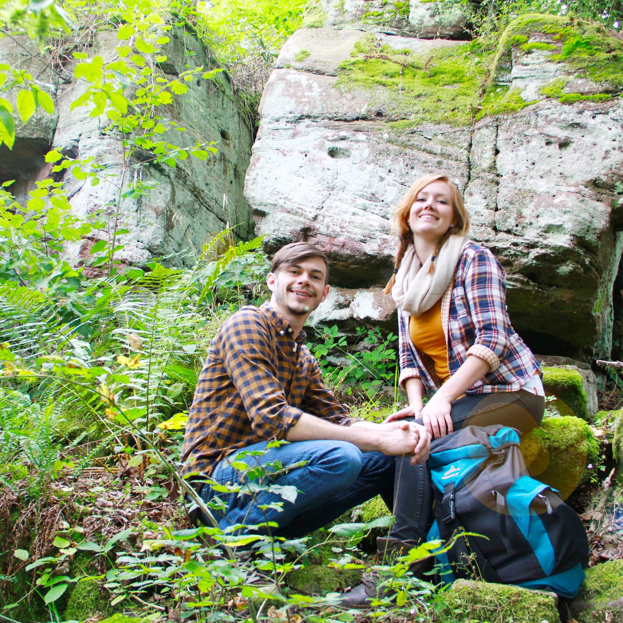
Unique rock formations, dark fir forests, and beautiful views accompany this hike.
Starting at the forest village of Schmieh, we walk downhill to the "Stone Signpost" along the hollow path. Along Schmieh...
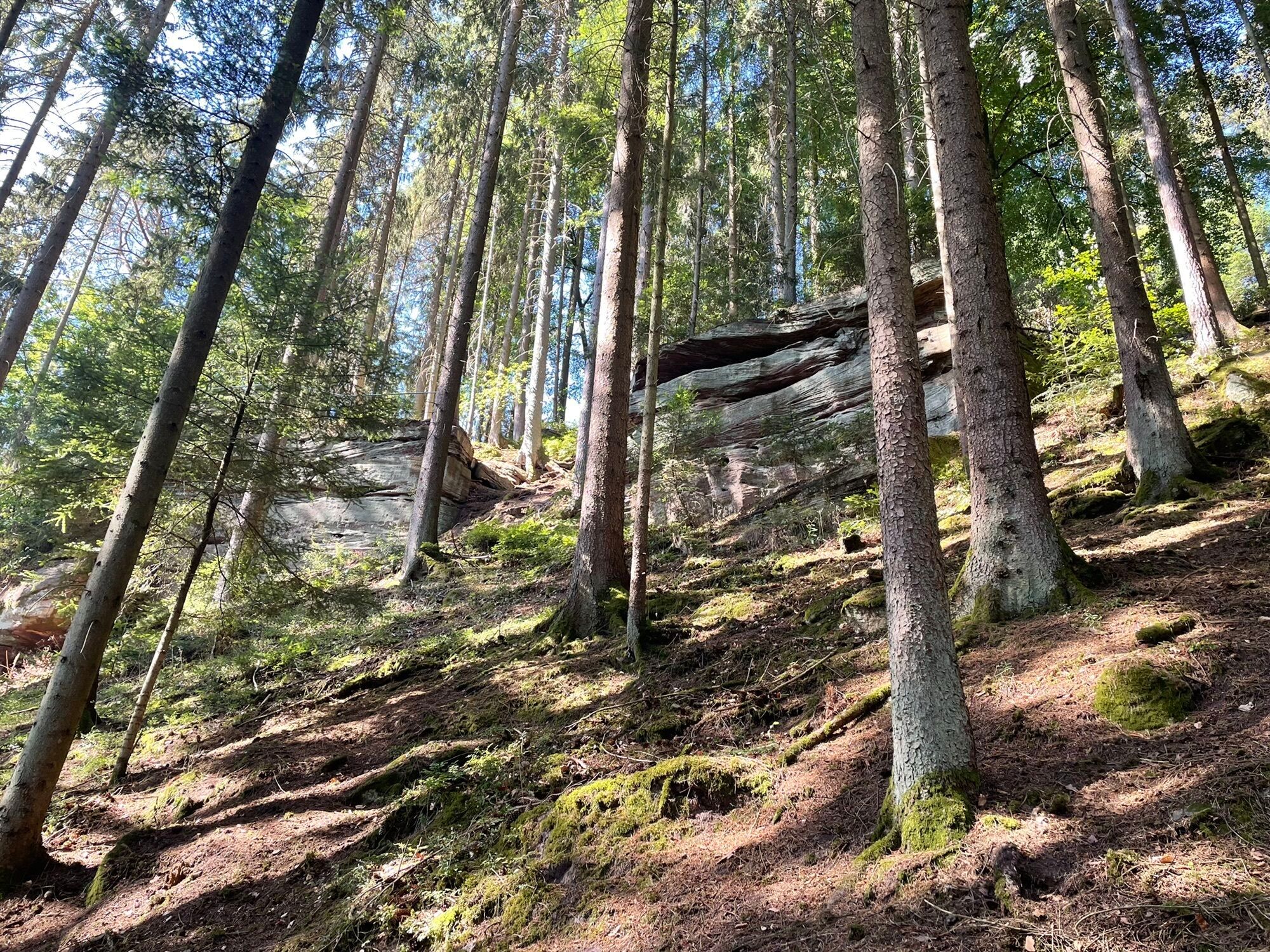
Unique rock formations, dark fir forests, and beautiful views accompany this hike.
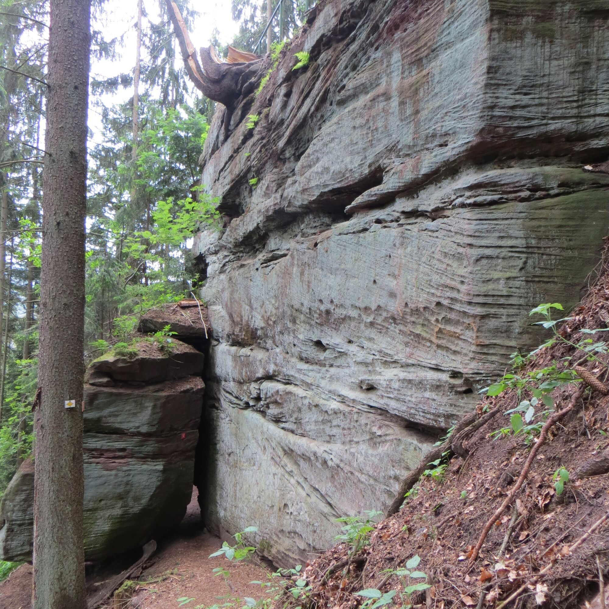
Starting at the forest village of Schmieh, we walk downhill to the "Stone Signpost" along the hollow path. Along Schmieh Mountain, we reach the Franzosenfelsen. Following the signposts, we find further highlights such as the Devil's Kitchen below Emberg or the Mathildenstaffeln in Bad Teinach.
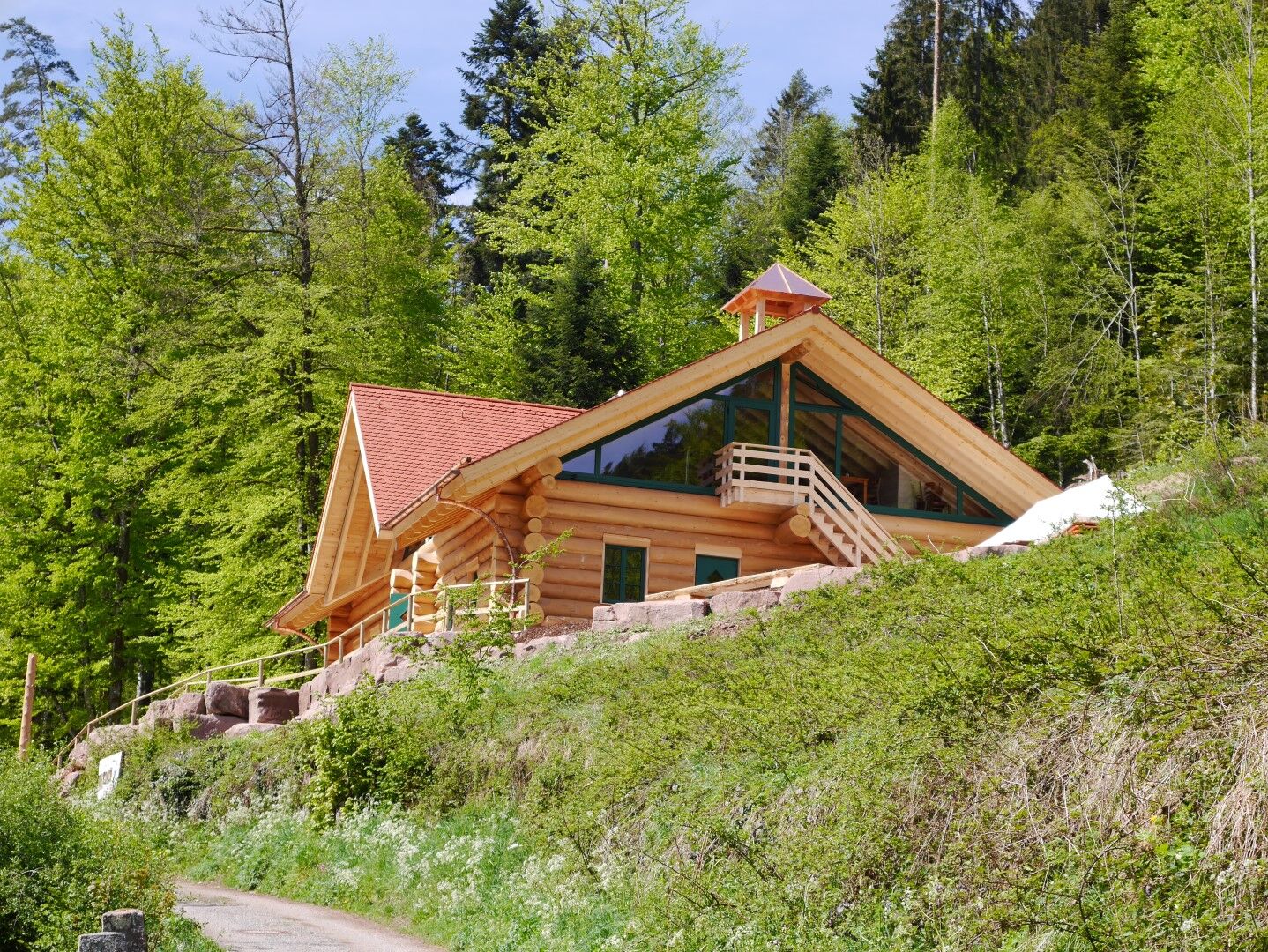
Gently uphill again, the enjoyment of nature is complemented by that of the palate. The Schloßberghütte with its native woods will delight us with good regional cuisine and unique coziness.
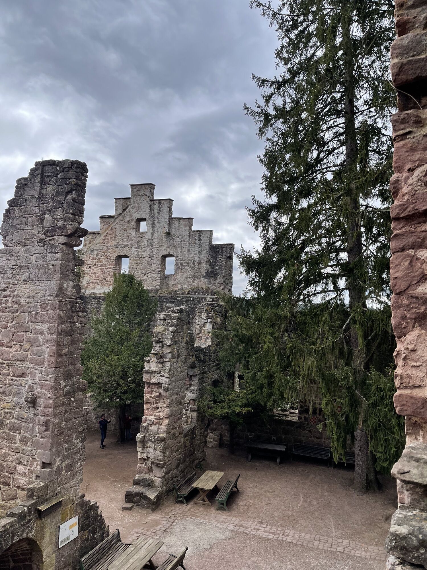
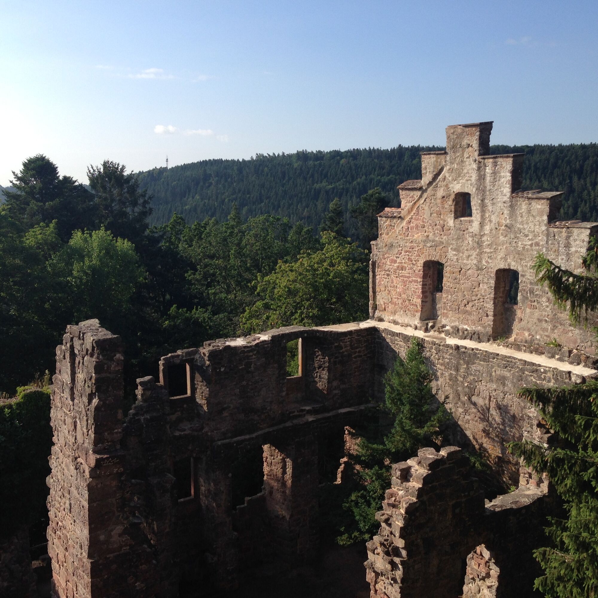
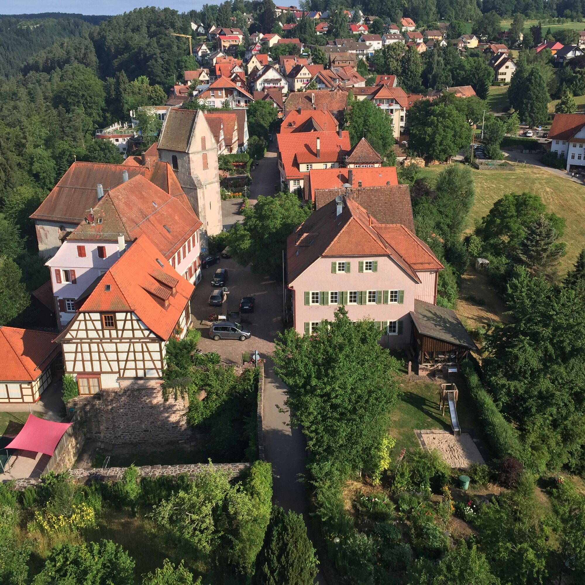
Uphill we reach the Zavelstein Castle Ruins with its historical small town. Passing the former quarry in Sommenhardt, another special experience awaits us with the Stubenfelsen.
Playing cops and robbers there doesn’t require much imagination.
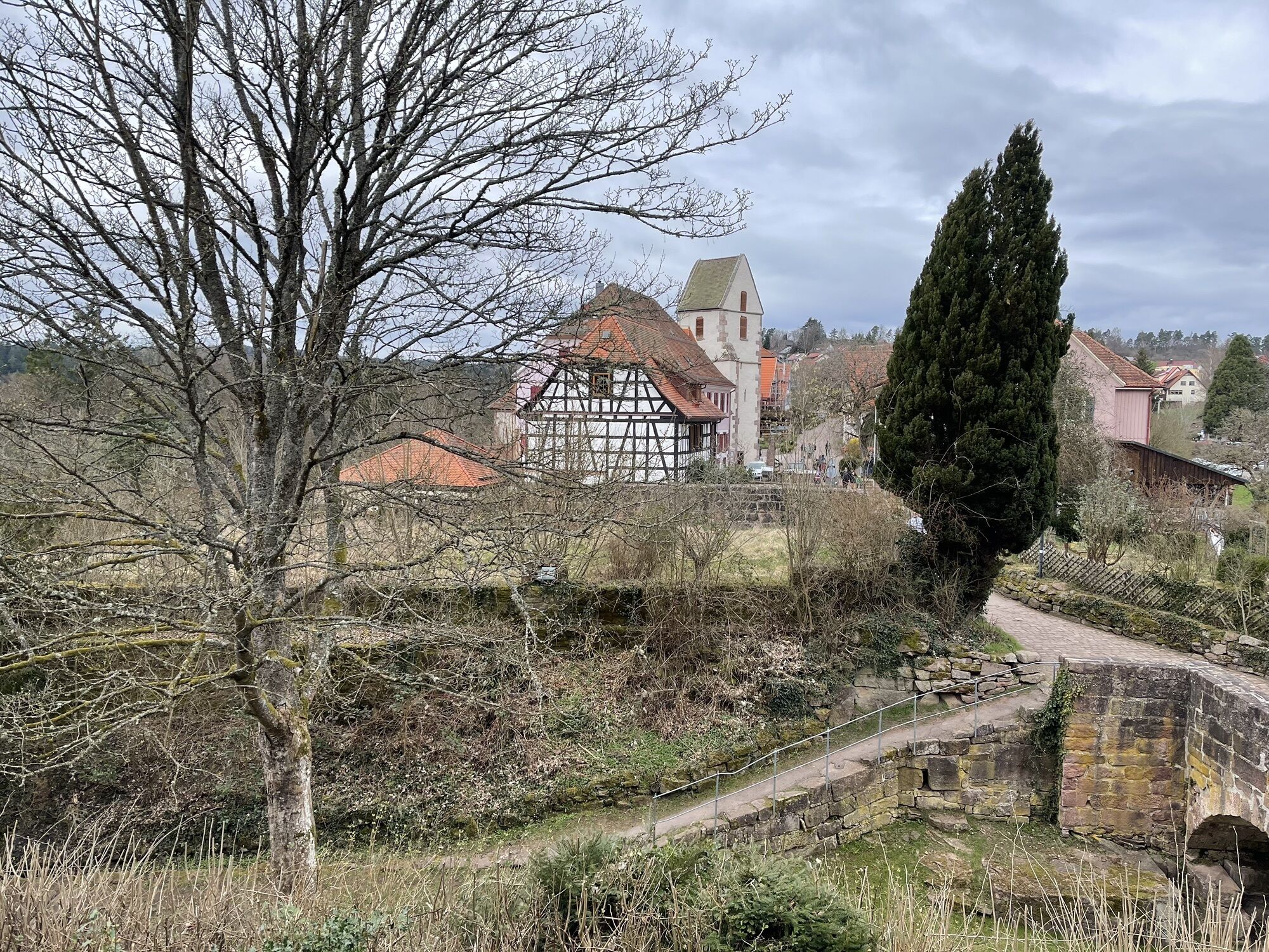
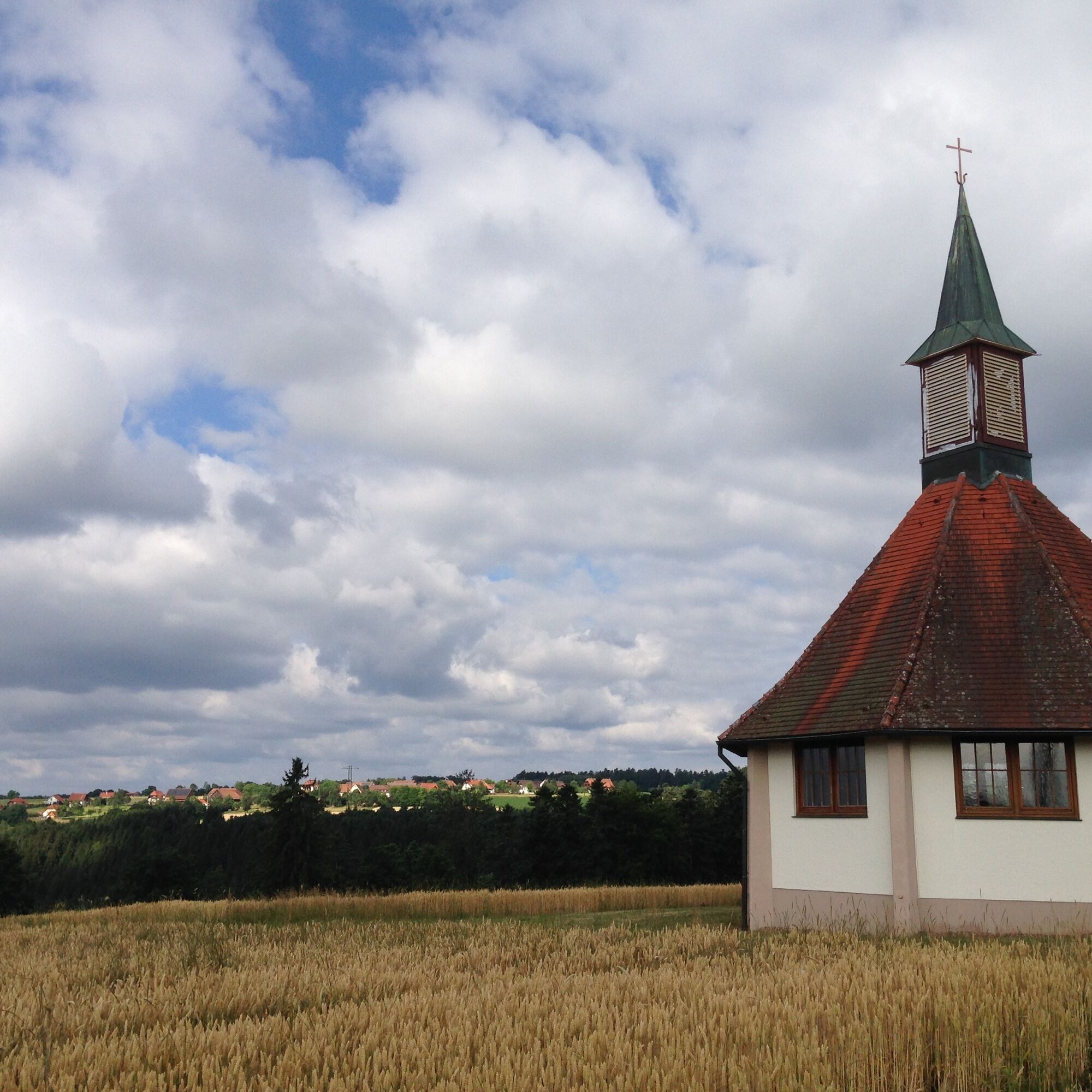
Steep downhill we reach our destination Kentheim, home to one of the oldest churches in southern Germany.
Signposting and trail network of the Black Forest Association.

Signpost Black Forest Association:
Starting point Schmieh:
Kutschkeller, Kirchstraße, Schmieh, Stutzberg, Franzosenfelsen, Franzosenschlag, Beckenkorb, Heidenberg
Under the churchyard, Laubweg, Mathildenhöhe, Mathildenstaffel, Feierabendbrückle, Cemetery, Schloßberghütte, Weihreute
Schloßberg, Burgweg, Market square, Quellgarten, Quarry, Shooting lodge, Old Steep Path, Mittelbach, Stubenfelsen, Lower Rötelbach Gorge
Kentheim
Tak
Hiking shoes, small backpack supplies, and drinks are recommended.
Please wear very good footwear.
A8 Karlsruhe, AS Pforzheim-West, B294 to Calmbach and B296 to Oberreichenbach, then L346 Bad Teinach;
A8 from Stuttgart, AS Leonberg, B295 towards Weil der Stadt, Calw, B463 Teinach station, then L347 to Bad Teinach.
A81 AS Herrenberg, B28 and B296 to Calw, B463 Teinach station, L347 to Bad Teinach
From Bad Teinach take district road 4328 to Schmieh
On-call bus CW2 between Teinach station, Oberreichenbach, Emberg, and Schmieh
On-call buses can be ordered by phone at 07051/96 88 55, via app (VGC app or bwegt Bus & Bahn) or online at www.vgc-online.de/fahrplaene-netz/vgc-plus at least 60 minutes before departure.
Take bus line 635 or 640 from Kentheim to Teinach station.
Bad Teinach station is located 3 km outside on the Nagold Valley Railway (Kulturbahn) from Pforzheim to Horb. Modern railcars run every half hour on this railway line with connections to the InterRegio network in Pforzheim and the ICE and IC network in Karlsruhe. Due to the scheduled bus service to Bad Teinach-Zavelstein and the taxi service (Tel. 0 70 53 / 9 69 60), good connections to all districts are ensured. There is no ticket counter at Bad Teinach station. The nearest ticket counter is at Calw station (Calw Travel Center, Bischofstraße 10 in 75365 Calw, phone 07051 2355, service hours Monday to Friday 08:00 to 18:00). More information: www.bahn.de
On the homepage of the Baden-Württemberg electronic timetable information, you can find bus and train connections in combination with local public transport. http://www.efa-bw.de
Start: Kentheim
Destination: Bad Teinach Schmieh, Gartenbergstraße
Enter date and time and press the "request" button
Forest car park Schmieh, or St. Candidus Church Kentheim
https://www.schlossberghuette.de/de/oeffnungszeiten
Information material is available at Teinachtal Tourism, Rathausstr. 9, 75385 Bad Teinach - Zavelstein or at www.teinachtal.de
The route can also be walked from Kentheim to Schmieh.
If possible, park a vehicle at the respective starting point.
Uzyskaj wgląd
Zawsze na żywo z ponad 9 500 kamer internetowych. bergfex Jako użytkownik Pro, możesz teraz zobaczyć odpowiednie kamery internetowe dla wielu wycieczek w aplikacji wycieczki od. Pozwala to na bezpośredni podgląd aktualnych warunków.
Popularne wycieczki w okolicy
-
4,7
Hiking through the Monbach Gorge in search of the kingfisher
średniWędrówka 10,5 km -
5,0
Wild romantic Monbach Valley
światłoWędrówka 6,25 km -
4,0
Wolfsschlucht and Fox Gorge
średniWędrówka 9,74 km -
4,7
Through the wild romantic Schweinbachtal to the Bruderhöhle cave
średniWędrówka 13,8 km -
5,0
Der Teinacher (Premiumweg & Genießerpfad)
średniWędrówka 12,0 km -
5,0
Water, Woods and Meadowtrail / Zavelstein > Calw (Premium trail & Genussweg)
ciężkiWędrówka 14,4 km -
5,0
From Bieselsberg into the wild Monbach valley - dream route on small paths
ciężkiWędrówka 18,0 km -
5,0
AugenBlick route Bad Teinach-Zavelstein Zettelberg
ciężkiWędrówka 15,5 km -
5,0
Rundwanderweg Sulzkar
średniWędrówka 12,4 km -
5,0
Hike through the idyllic Kälbertal
średniWędrówka 8,01 km
Wędrówki i tropienie


Nie przegap ofert i inspiracji na następne wakacje
Twój adres e-mail została dodana do listy mailingowej.





