


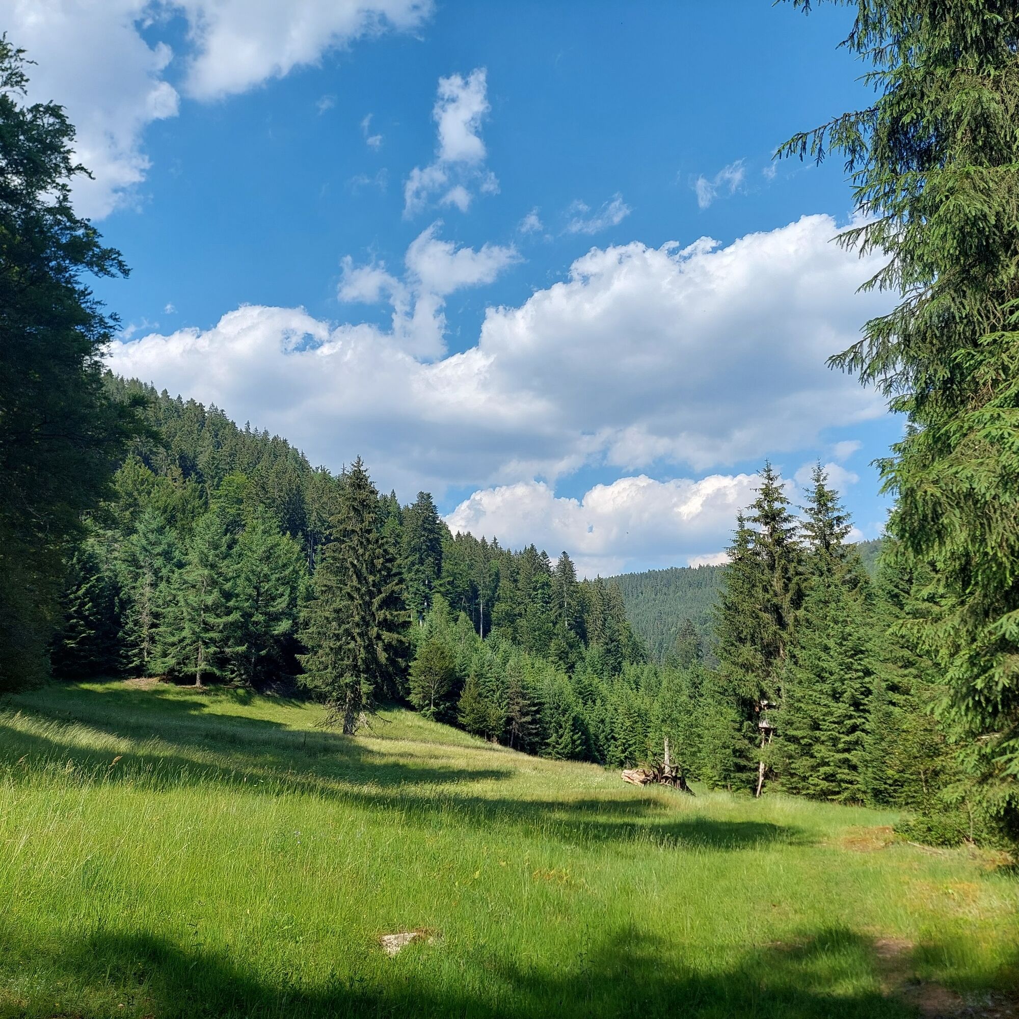
Hike through the idyllic Kälbertal
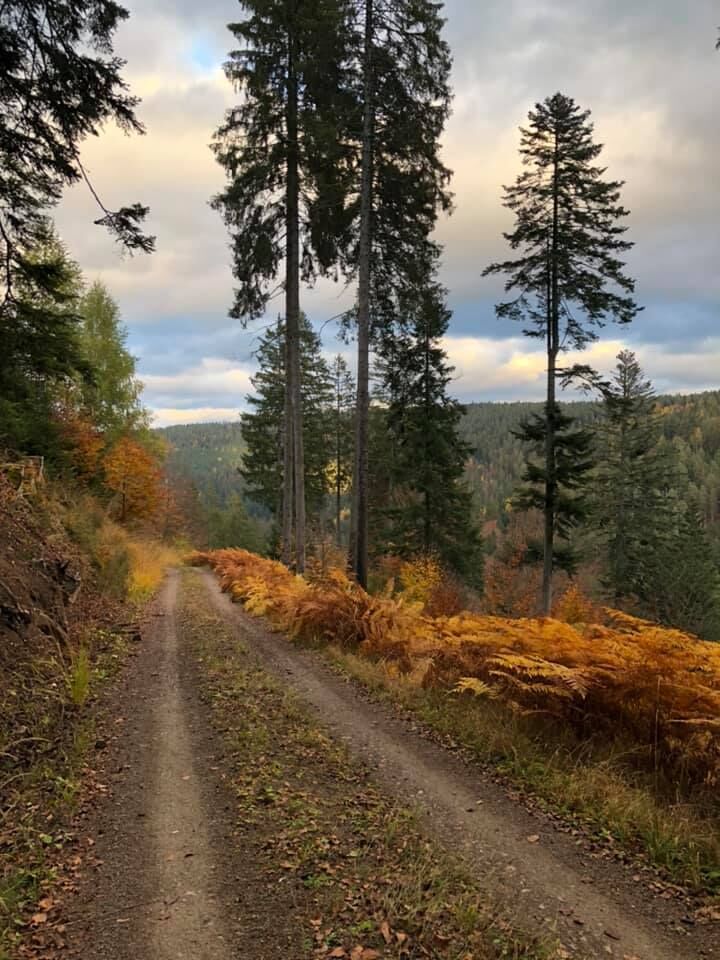
Unknown route, usually little frequented. Along the Kälberbach, a small path leads to the Kälberbach spring. From there, mostly wider hiking and forest roads lead back through the Kälbertal to the Kälbermühle.


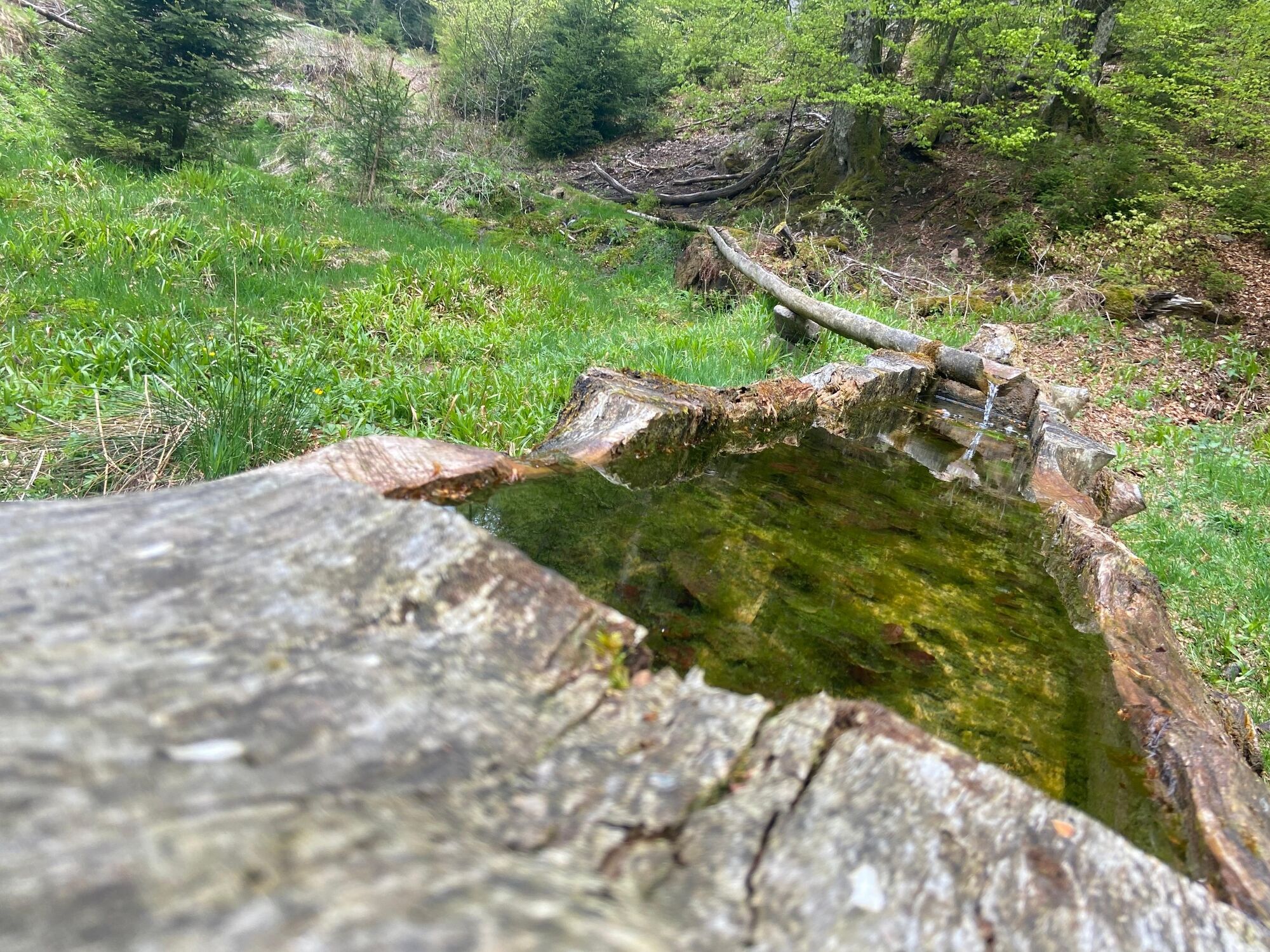
From the Kälbermühle, a small path leads along the Kälberbach to the Kälberbach spring. From there, follow the signs to the Hohe Warte, then towards Kohlwanne and Kohlberg until you reach your starting point again.
Tak
Hiking boots, weather-appropriate clothing, possibly hiking poles, and something to drink.
B 294 from Pforzheim to Calmbach, then on K 4367 to Bad Wildbad, at the roundabout through the Meisterntunnel and onwards via district road 4367 to the Kälbermühle campsite. B 294 from Freudenstadt via Poppeltal to Enzklösterle, continuing to the Kälbermühle campsite.
B296 from Calw to Calmbach, then to Bad Wildbad and from there further via K 4367 to Kälbermühle.
The nearest bus stop is a 5-minute walk from the start of the route (stop "Waldluft").
Regiobus X78 (hourly) between Bad Wildbad, Enzklösterle and Freudenstadt
A small forest parking lot is located at the Kälbermühle near the campsite (Kälbermühlenweg in 75337 Bad Wildbad).
We recommend carrying a hiking map of the region (for example, hiking map "Upper Enztal", 1:35,000).
Take some food & drink with you and have a snack break in nature.

Popularne wycieczki w okolicy
- 5,0
Circular route via spring nature trail and Wurstberg
światłoWędrówka 8,08 km - 4,7
Eyach round
średniWędrówka 7,84 km - 4,2
Kaltenbronn Circular Route No. 1 - Wildsee Moor Loop
światłoWędrówka 8,30 km - 5,0
Der Teinacher (Premiumweg & Genießerpfad)
średniWędrówka 12,0 km - 4,7
premium hiking trail Enzquellenpfad
średniWędrówka 19,9 km - 3,0
Dobel High-Altitude Route
średniWędrówka 11,8 km - 4,3
Nature experience tour Kaltenbronn
średniWędrówka 14,2 km - 2,6
Genießerpfad zum Panoramastüble
Wędrówka 10,6 km - 4,8
Weisenbacher Steig (Rechts der Murg)
średniWędrówka 17,6 km AugenBlick route Bad Herrenalb Schweizerkopf
średniWędrówka 15,5 km
Wędrówki i tropienie


Nie przegap ofert i inspiracji na następne wakacje
Twój adres e-mail została dodana do listy mailingowej.