


AugenBlick route Bad Herrenalb Schweizerkopf
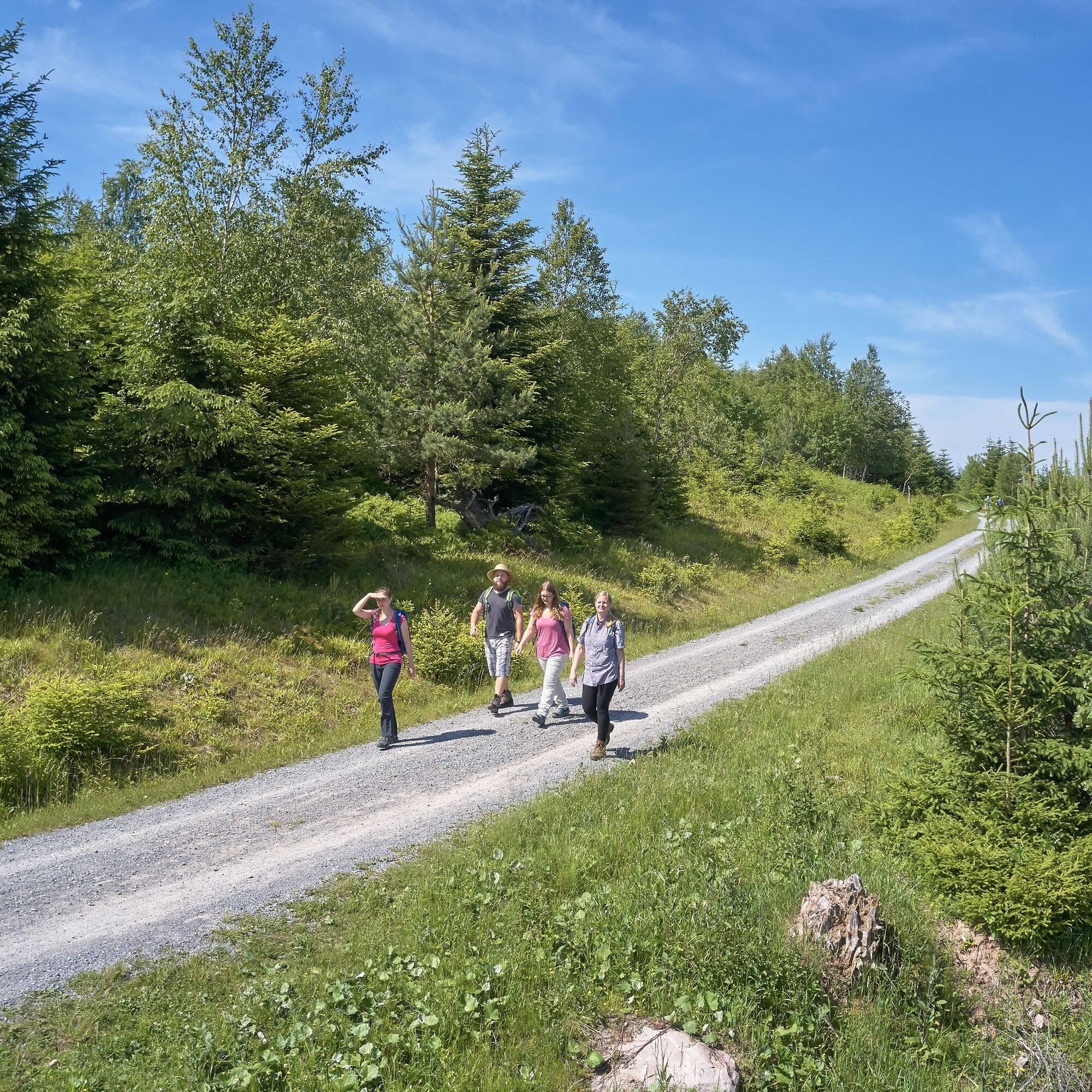
Gently ascending, the AugenBlick route runs from the starting point at Skiheim Talwiese to Weithäusleplatz. The Westweg continues past Himmelsliegen to the fantastic view at AugenBlick at the Schweizerkopfhütte....
Gently ascending, the AugenBlick route runs from the starting point at Skiheim Talwiese to Weithäusleplatz. The Westweg continues past Himmelsliegen to the fantastic view at AugenBlick at the Schweizerkopfhütte. At the occasionally staffed Hahnenfalzhütte, the path forks.
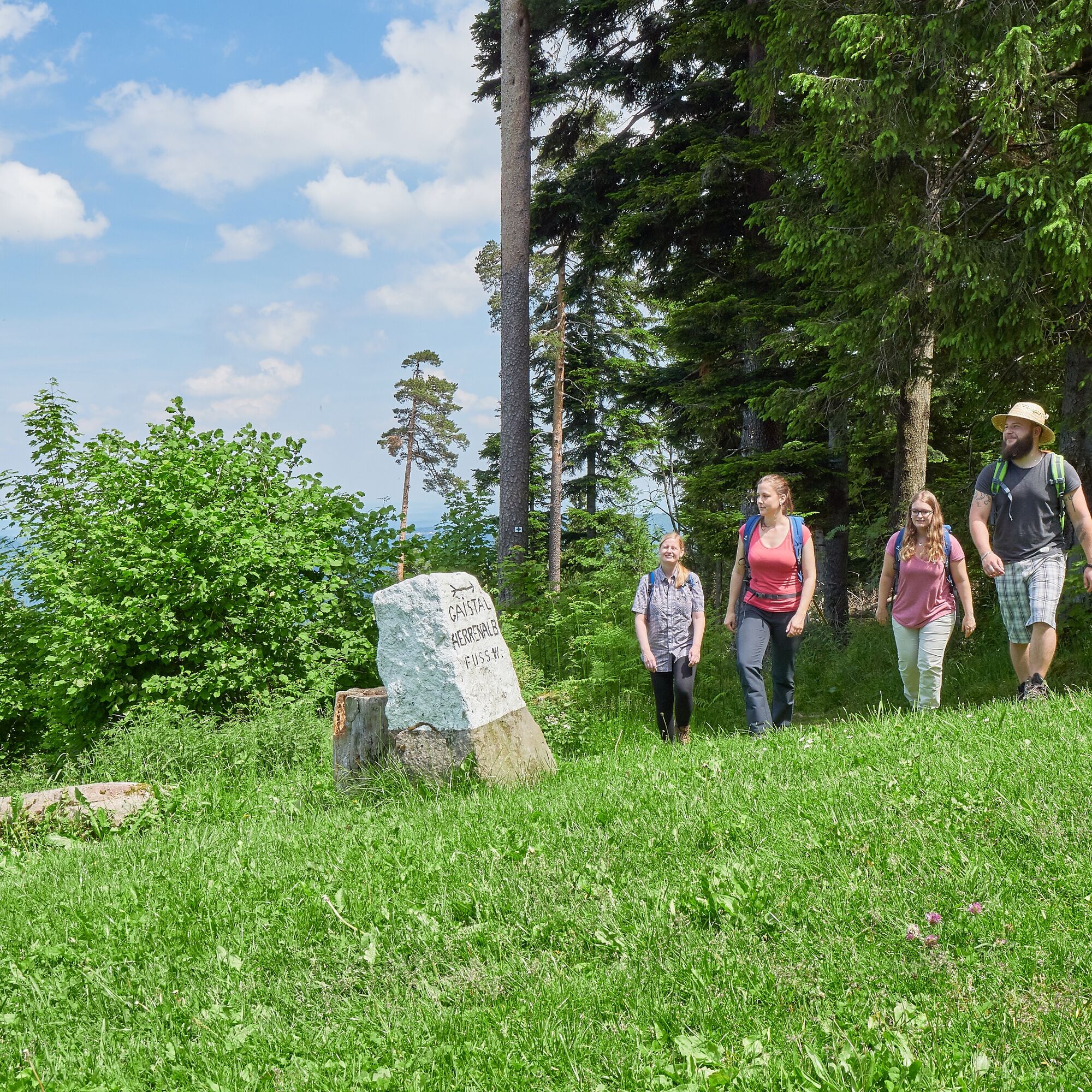
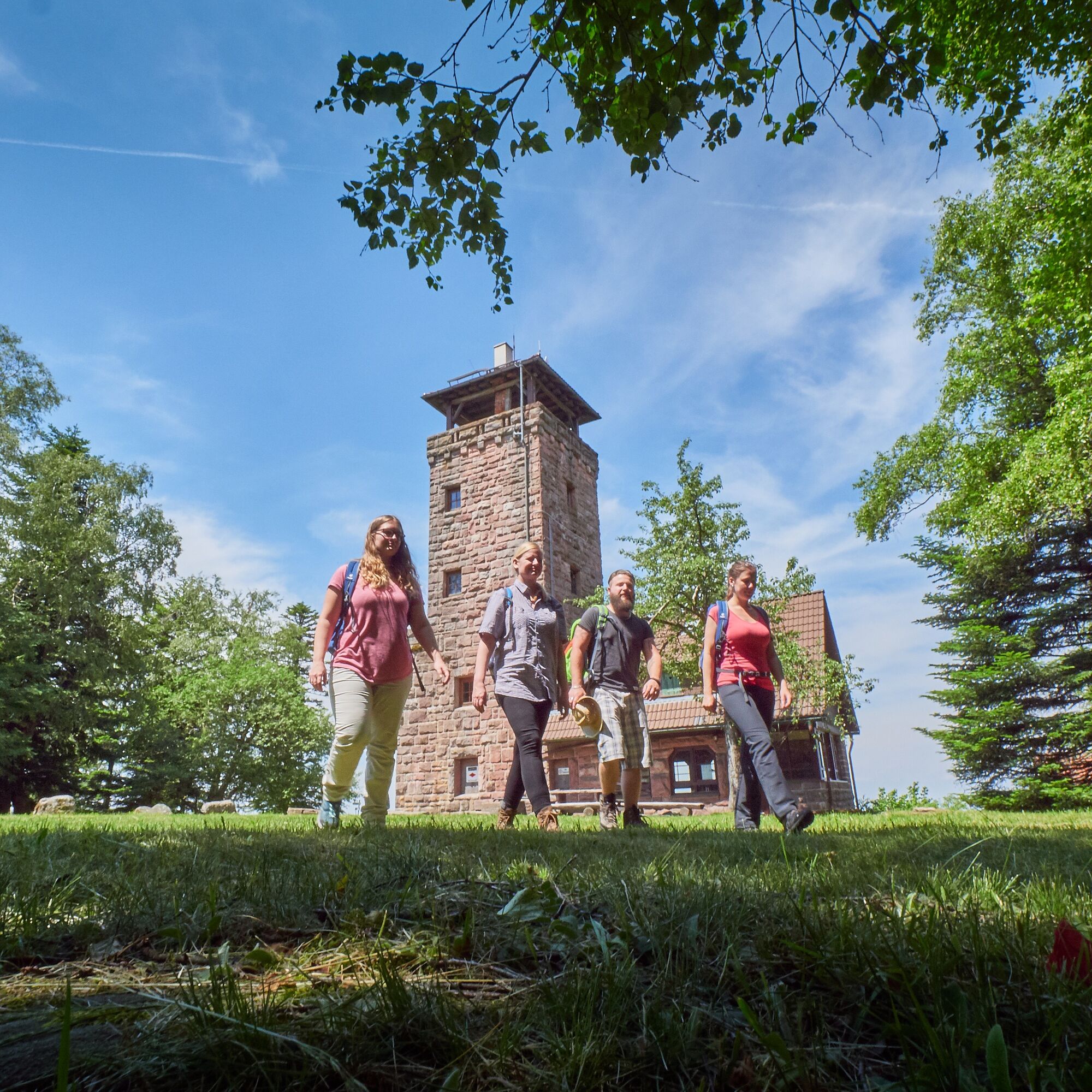
The further loop via the Steinerne Sitzbank to the Teufelsmühle should definitely be planned. At the Teufelsmühle, the magnificent panorama can be enjoyed from the tower and the inn offers refreshments for the descent. The path leads back down over narrow rocky trails past the Hahnenfalzhütte to the starting point.
The AugenBlick route is a funded project of the Naturpark Schwarzwald Mitte/Nord.
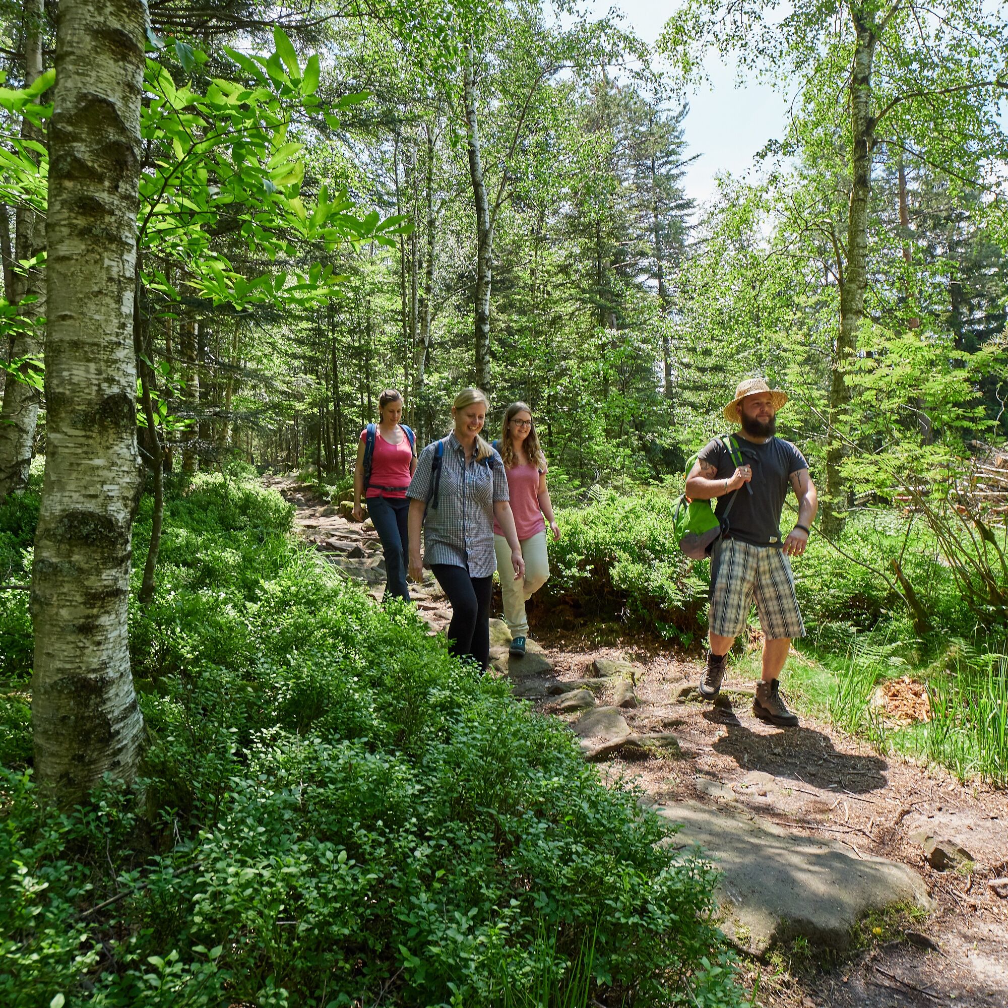
Signage: At the forked paths, you will find the AugenBlick signs to follow. In between, please orient yourself by the markings of the Schwarzwaldverein (yellow, blue, and red lozenge).
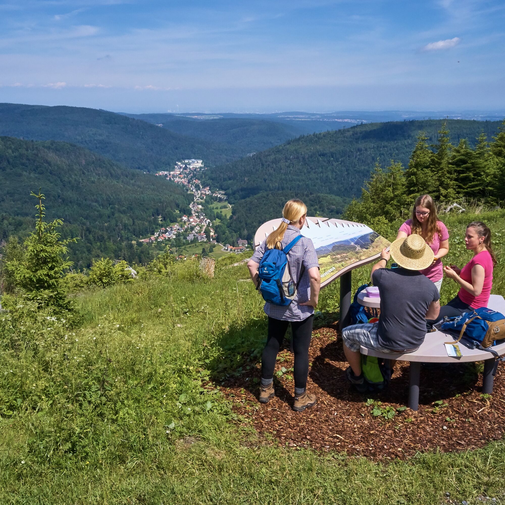
We start at the Skiheim Talwiesenschänke heading towards Bernbacher Weg and take the first left turn towards Weithäusleplatz. At the fork, we go right onto the Hahnenfalzweg up to the Schweizerkopfhütte with the Naturpark AugenBlick, from where we enjoy a great distant view of Bad Herrenalb. Then we continue to the Hahnenfalzhütte. At the fork there, we continue straight ahead towards the Steinerne Sitzbank and follow the signage to the Teufelsmühle. For the return, we go through a fairytale-like forest section over natural paths and stones and reach back to the Steinerne Sitzbank. We walk a bit back the same way to the Hahnenfalzhütte. From there, we walk this time via Axtloh back to the starting point at the Skiheim.
By car:
Coming from Frankfurt or Basel, take highway A5, exit Ettlingen, then follow the signs.
Coming from Stuttgart, take highway A8, exit Karlsbad/Bad Herrenalb, then follow the signs.
By S1 from Karlsruhe Main Station via Ettlingen to Bad Herrenalb Station, then continue by bus 116
P+R at Bad Herrenalb Station
Paid parking lot at the town entrance (coming from Ettlingen, turn right at the roundabout)
Paid parking lots at the spa
Paid parking lot at the town hall
Paid parking lot at Sägwasenplatz
Free forest parking above the cemetery
Tourism and City Marketing Bad Herrenalb
Rathausplatz 11
76332 Bad Herrenalb
Tel.: 07083/5005 55
E-Mail: info@badherrenalb.de
www.badherrenalb.de
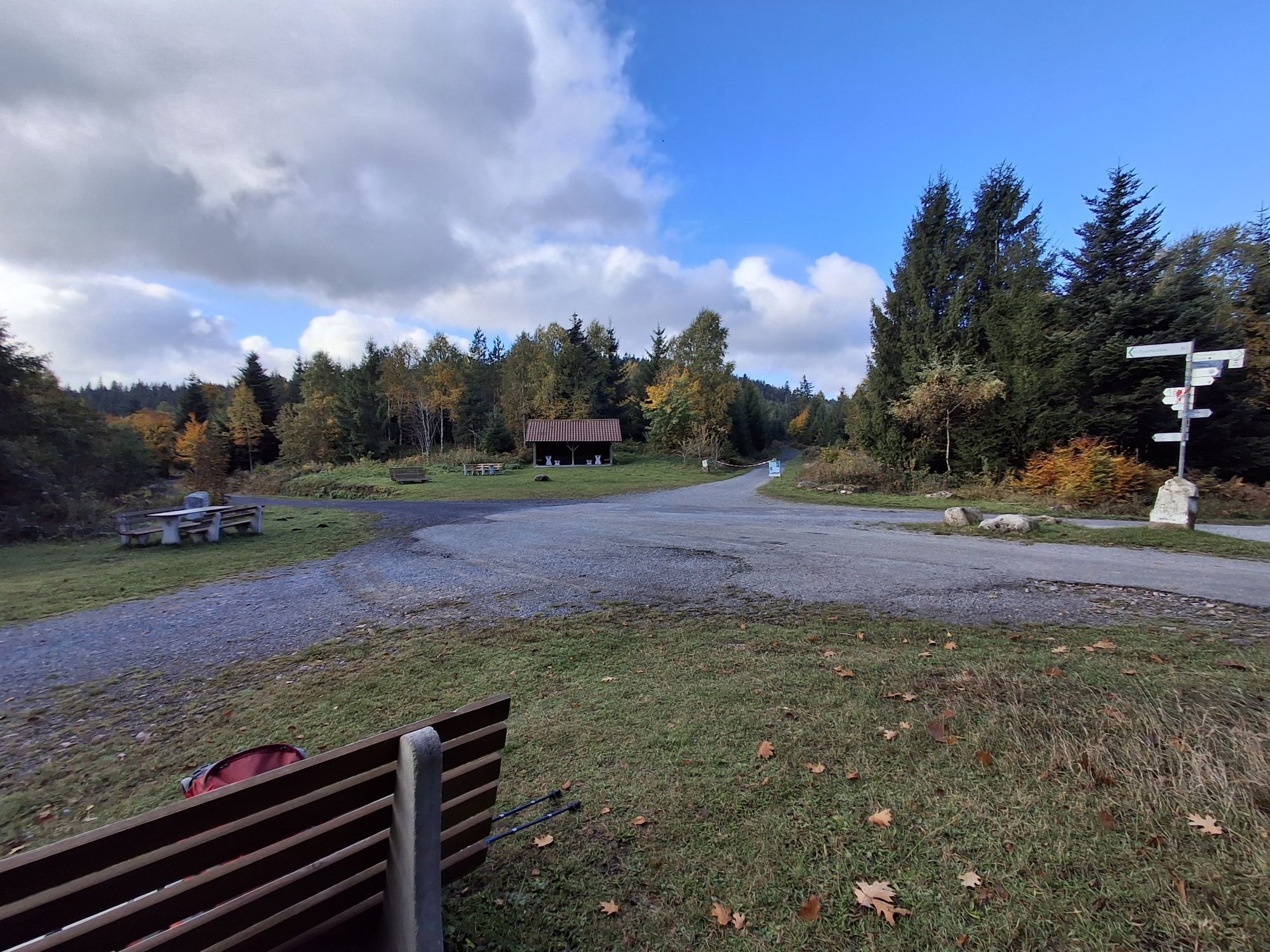
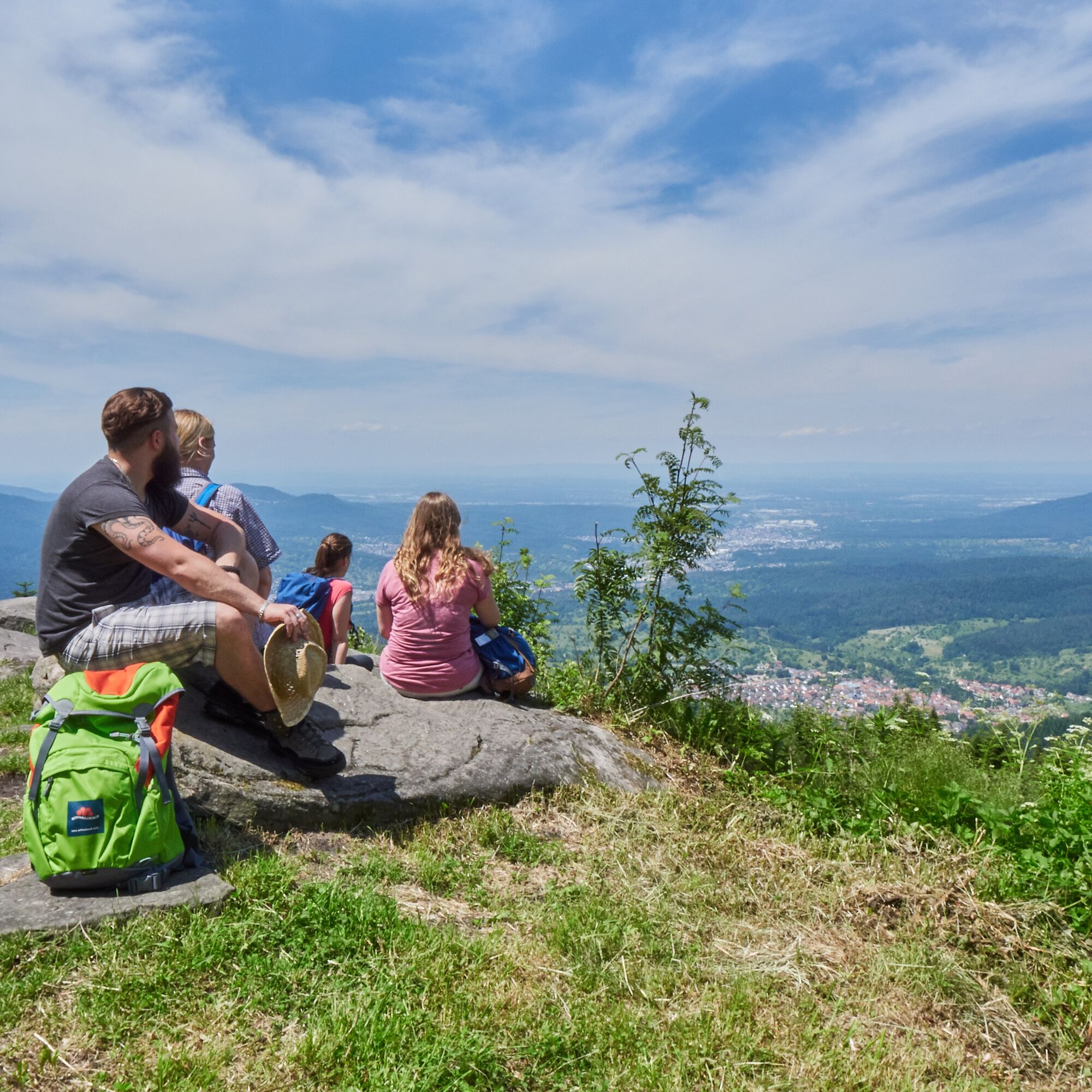
Along the route, there are several viewpoints from which you can enjoy impressive panoramic views of Bad Herrenalb and the region. On Sundays and public holidays, the Hahnenfalzhütte is open for hikers. The ski club offers drinks there.
Next to the Schweizerkopfhütte is the Naturpark AugenBlick with a panorama board, bench, and small table inviting you to linger and enjoy the great view.
Popularne wycieczki w okolicy
-
5,0
Circular route via spring nature trail and Wurstberg
światłoWędrówka 8,08 km -
4,7
Eyach round
średniWędrówka 7,84 km -
4,2
Kaltenbronn Circular Route No. 1 - Wildsee Moor Loop
światłoWędrówka 8,30 km -
4,7
premium hiking trail Enzquellenpfad
średniWędrówka 19,9 km -
3,0
Dobel High-Altitude Route
średniWędrówka 11,8 km -
4,3
Nature experience tour Kaltenbronn
średniWędrówka 14,2 km -
4,0
Spaziergang zum Bernsteinfelsen
średniWędrówka 14,5 km -
4,8
Weisenbacher Steig (Rechts der Murg)
średniWędrówka 17,6 km -
4,3
The hang glider route
średniWędrówka 9,09 km -
4,0
Bad Herrenalb town circuit
średniWędrówka 10,5 km
Wędrówki i tropienie


Nie przegap ofert i inspiracji na następne wakacje
Twój adres e-mail została dodana do listy mailingowej.