


Nature experience tour Kaltenbronn
The tour starts at the car park for hikers "F" at Kaltenbronn
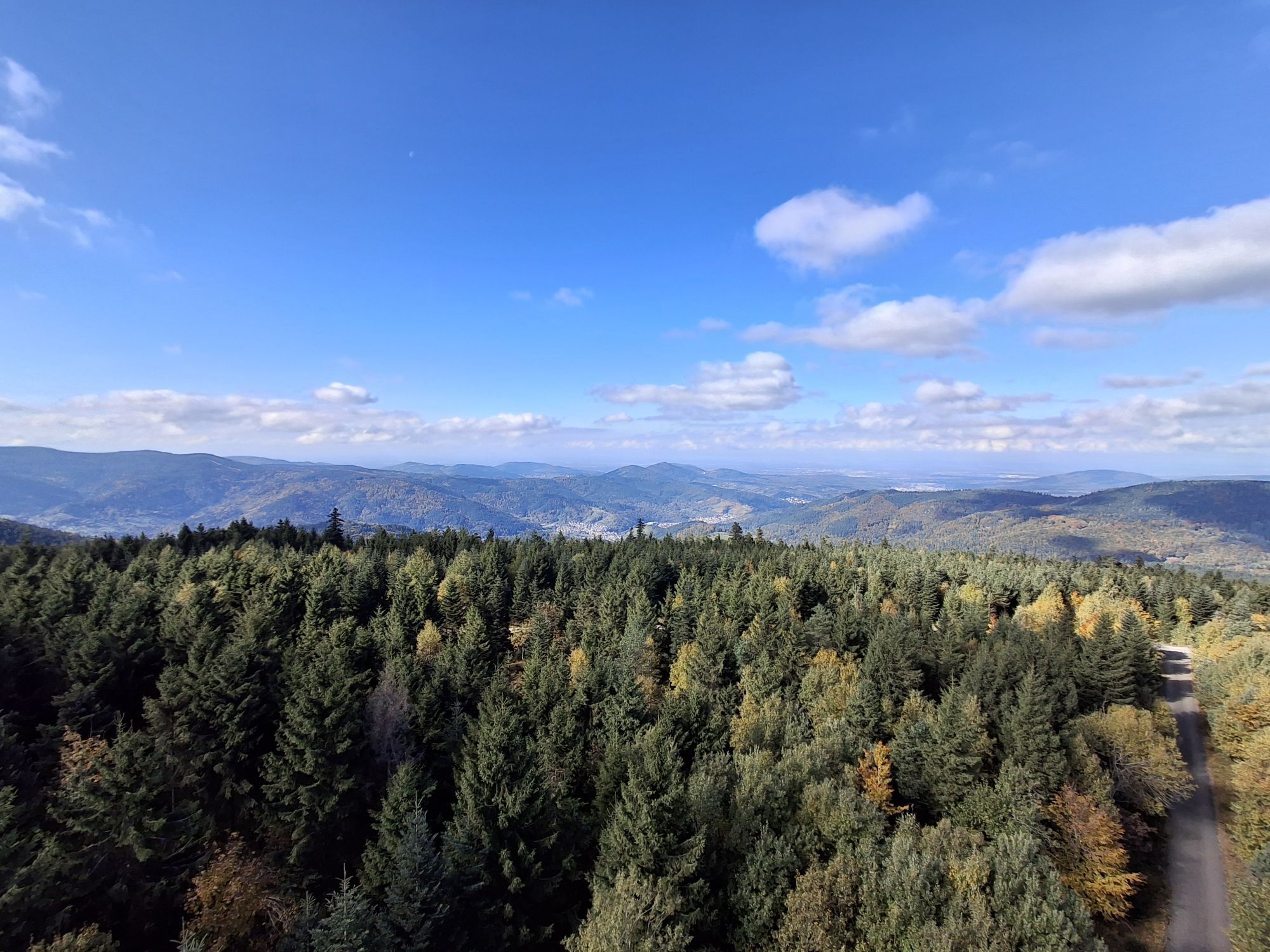
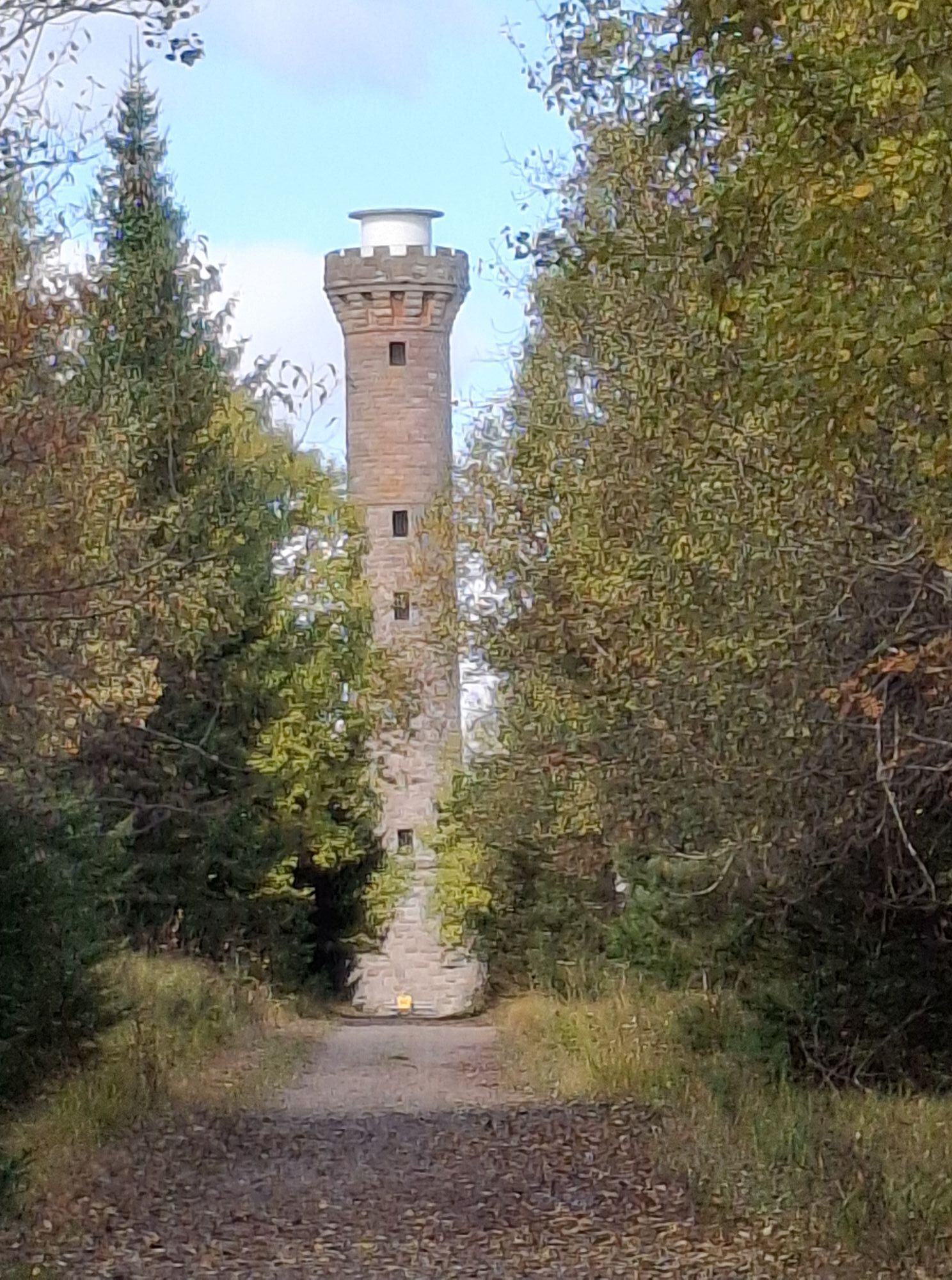
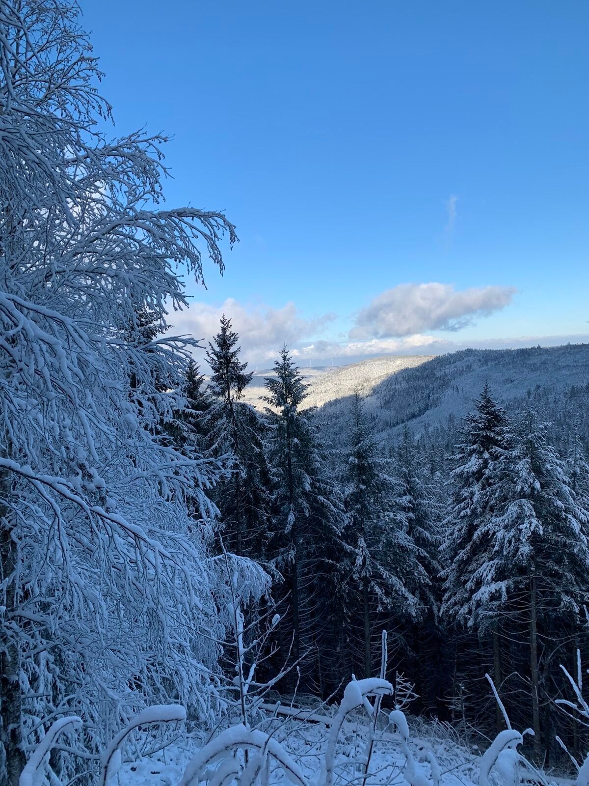
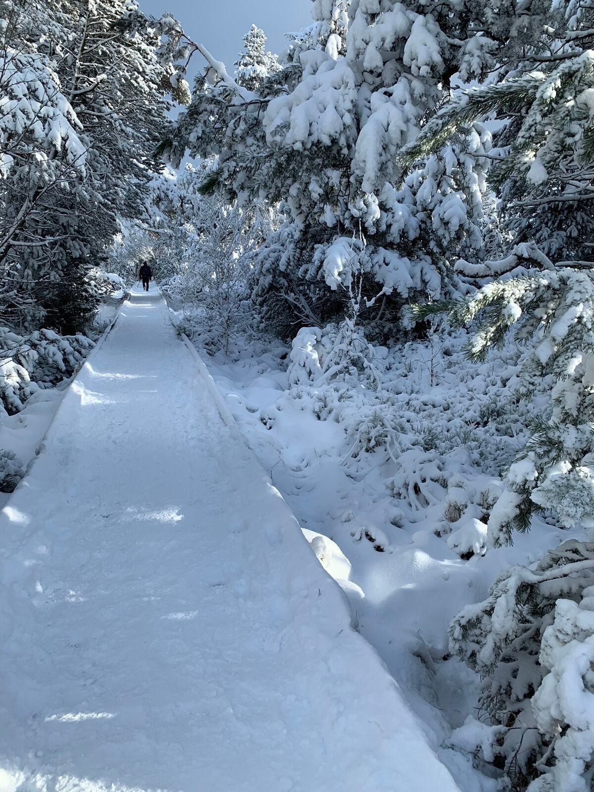
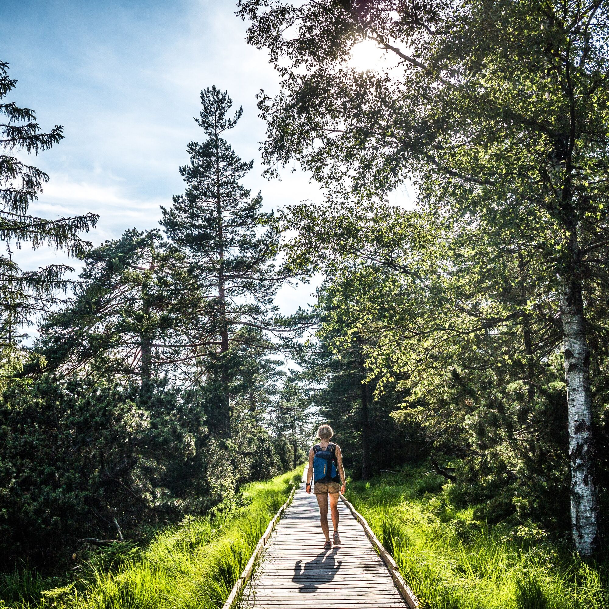
Highlight of the roundtrip is just to the beginning the view from the "Hohloh" tower, which you´ll reach across an boardwalk through the marshland....
The tour starts at the car park for hikers "F" at Kaltenbronn
Highlight of the roundtrip is just to the beginning the view from the "Hohloh" tower, which you´ll reach across an boardwalk through the marshland. By climbing up the tower you pass the 1000 metre-mark above sea level and you will be rewarded by a magnificent view over the valleys of Rhein and Murg. Under conditions of clear view you even could see the Vosges and the Alps.
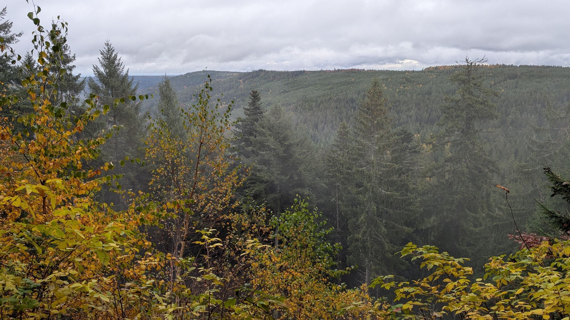
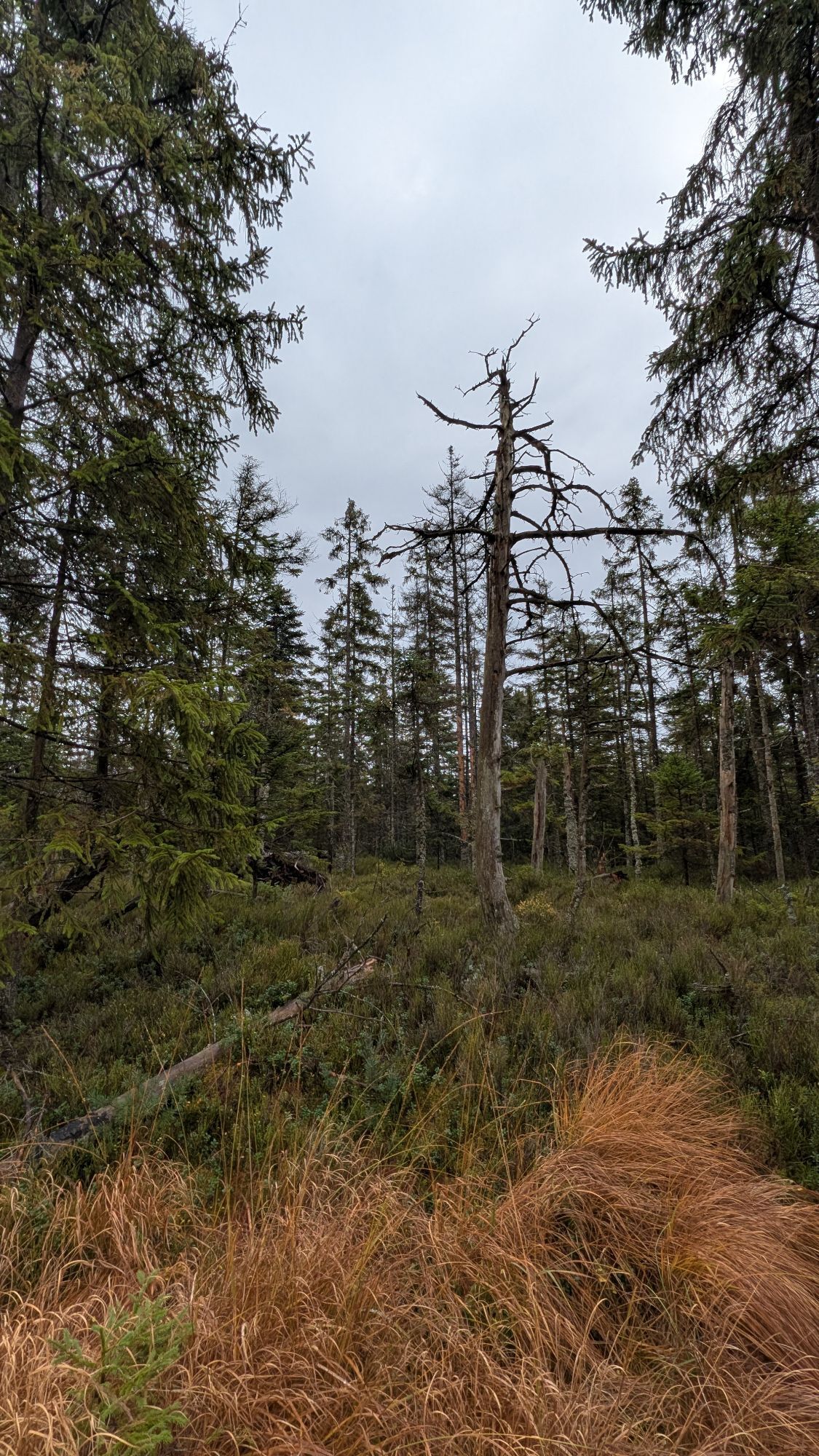
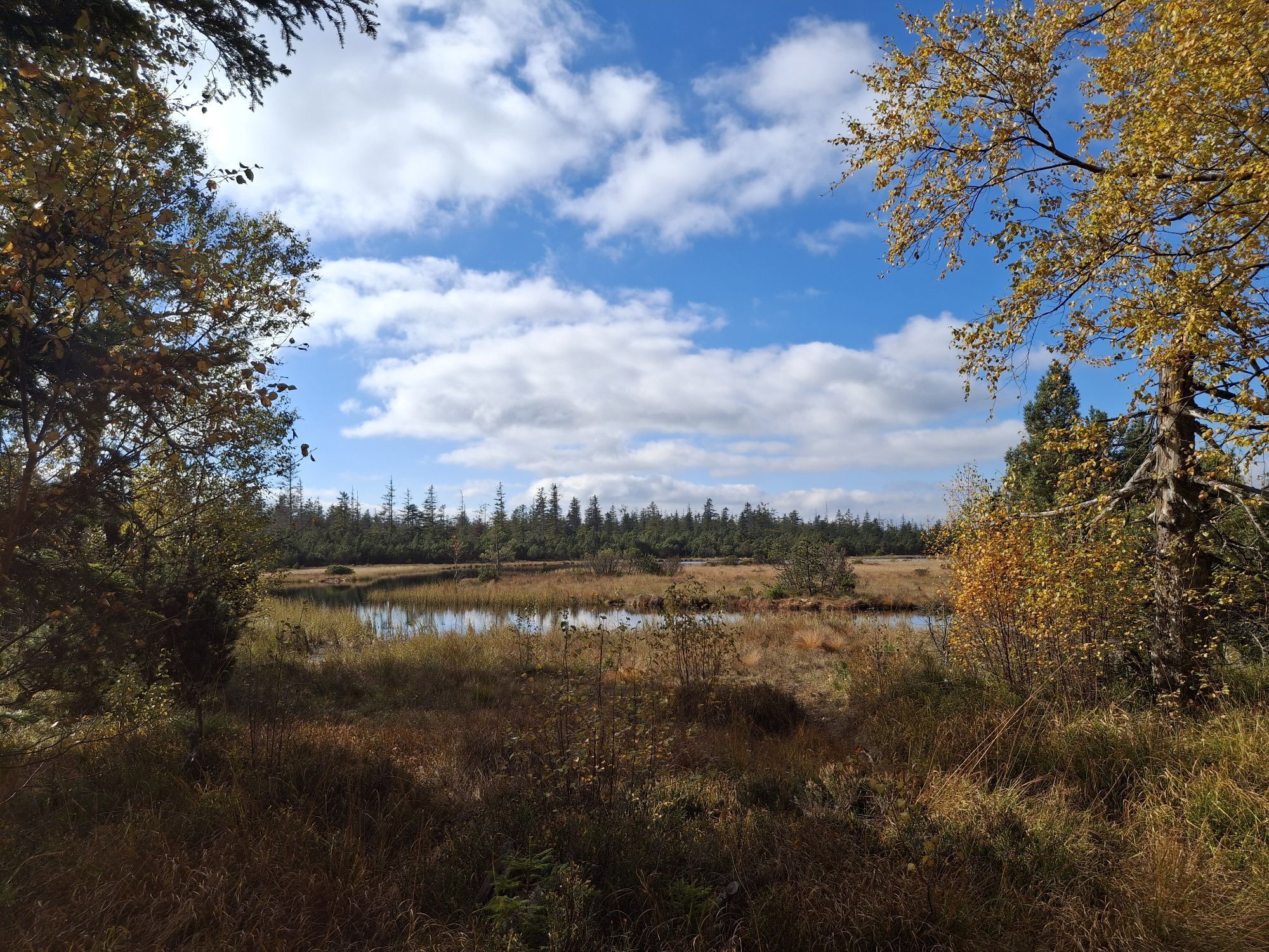
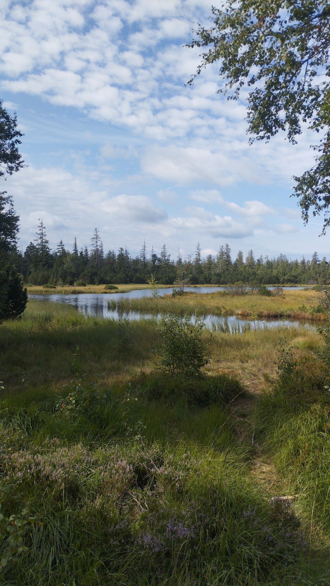
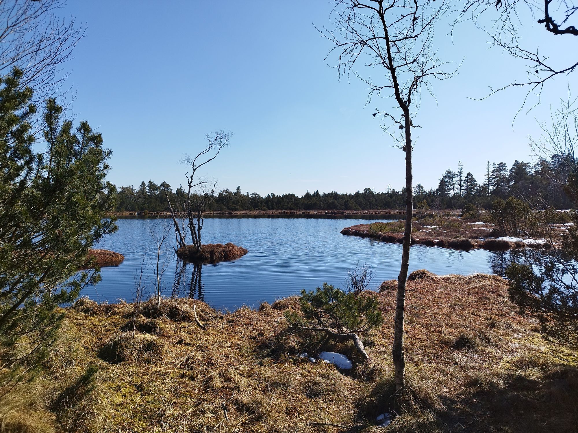
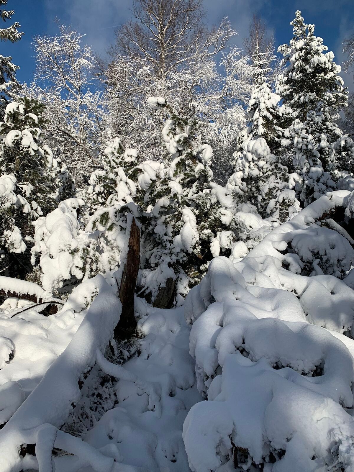
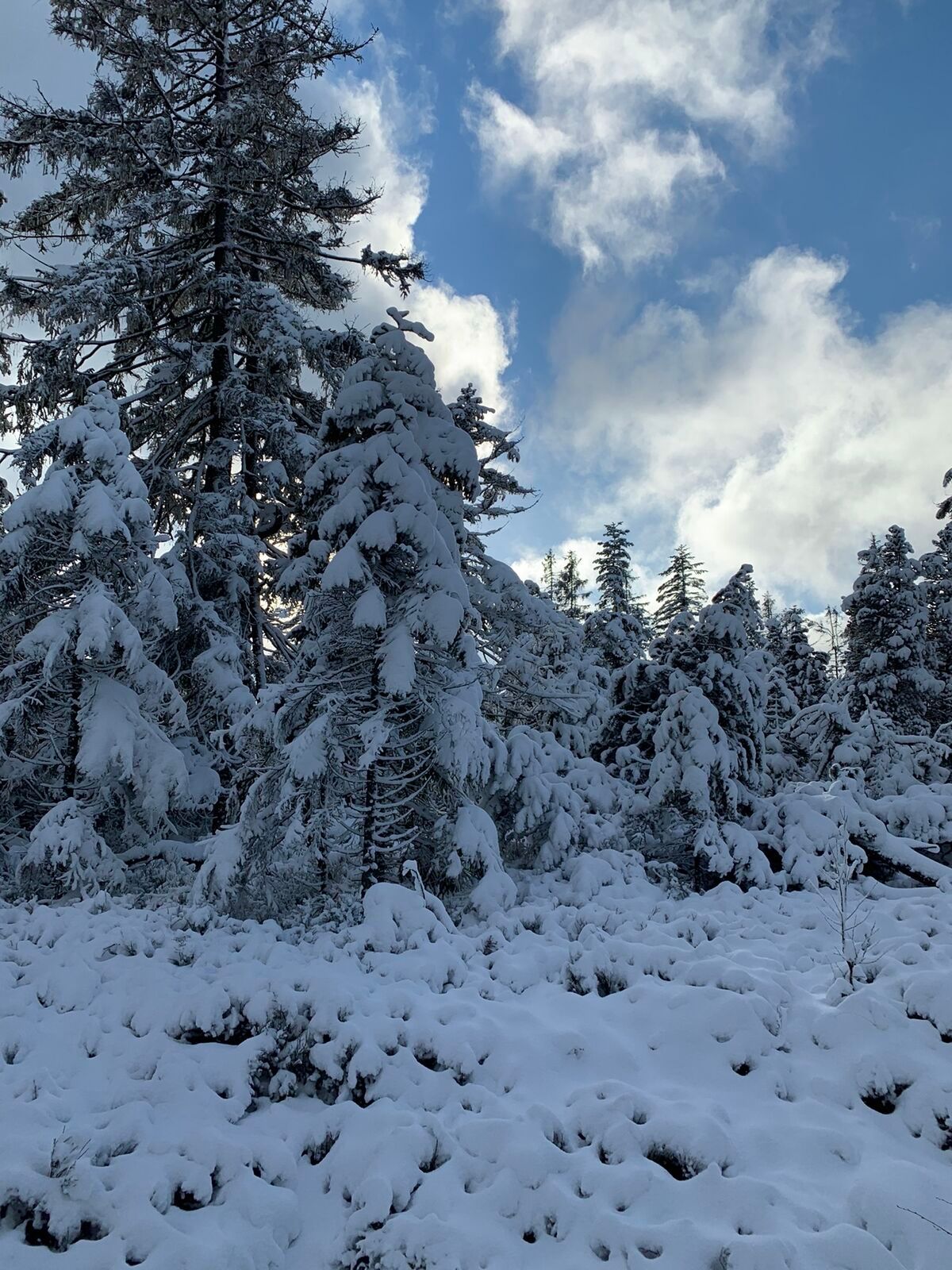
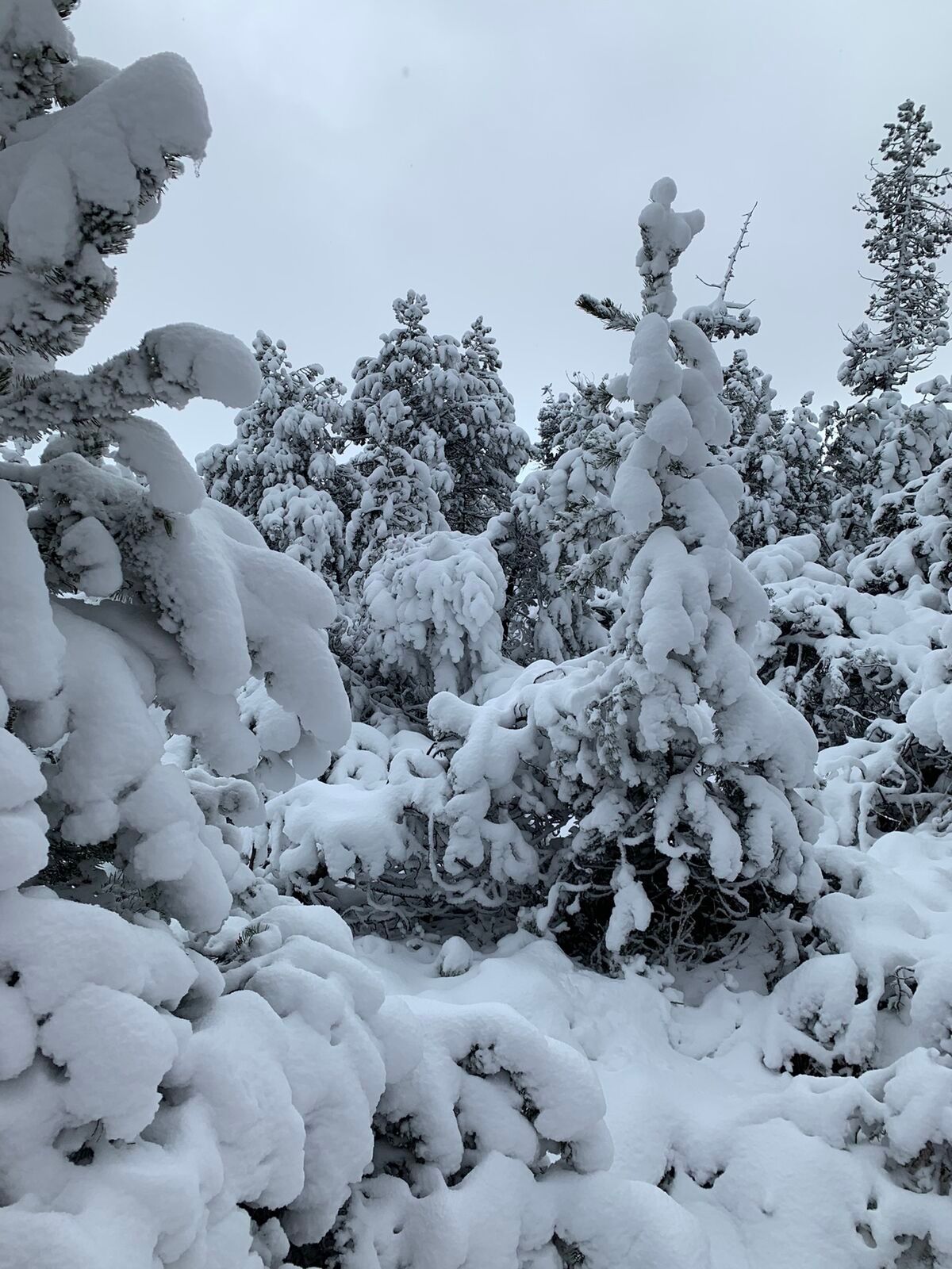
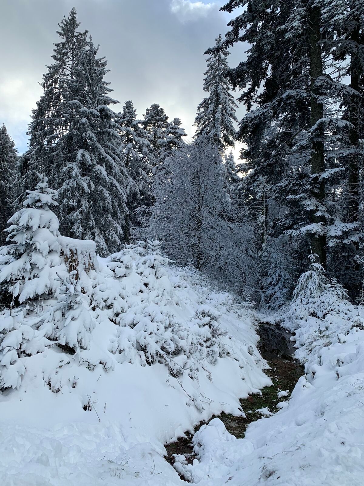
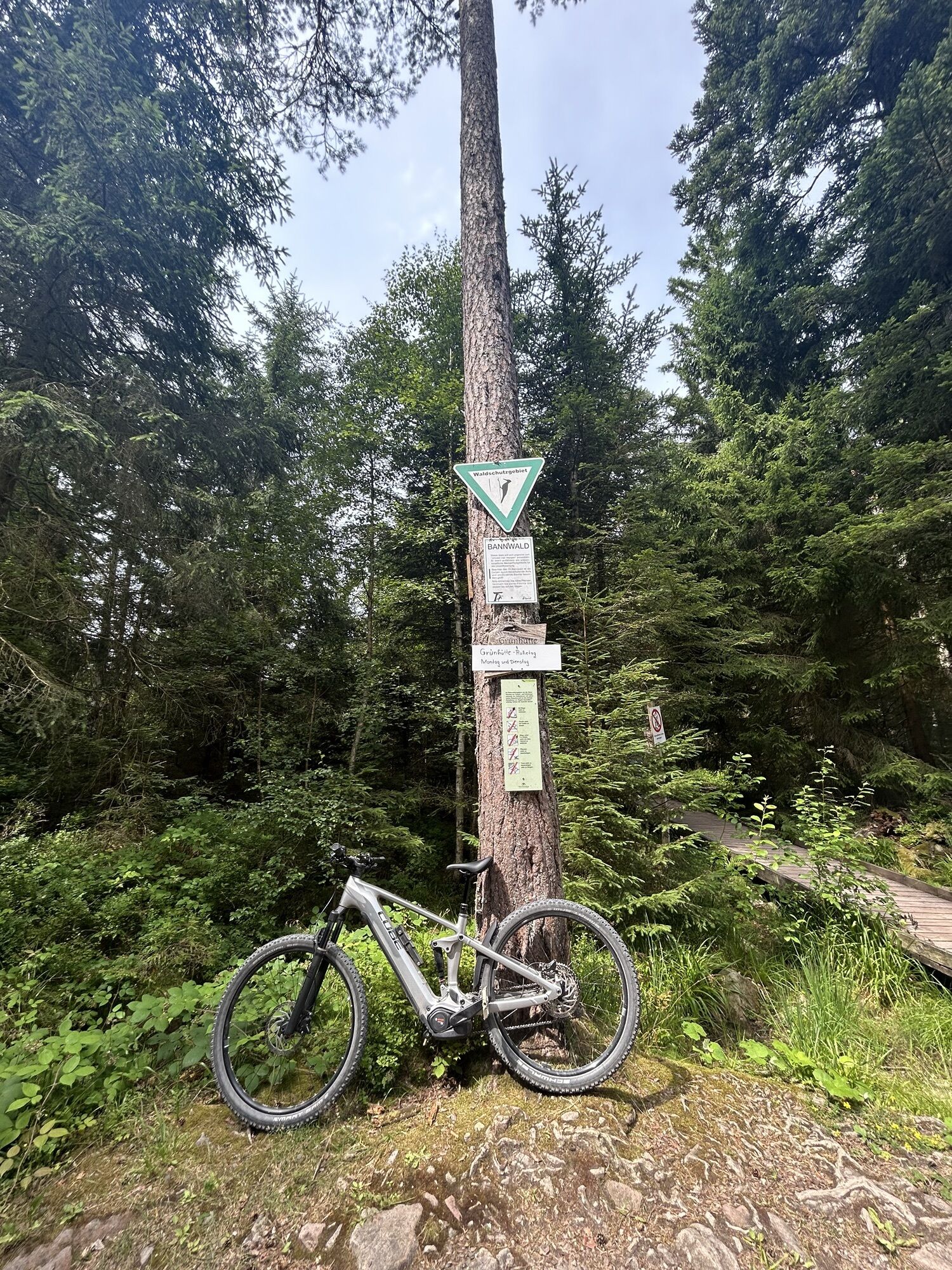
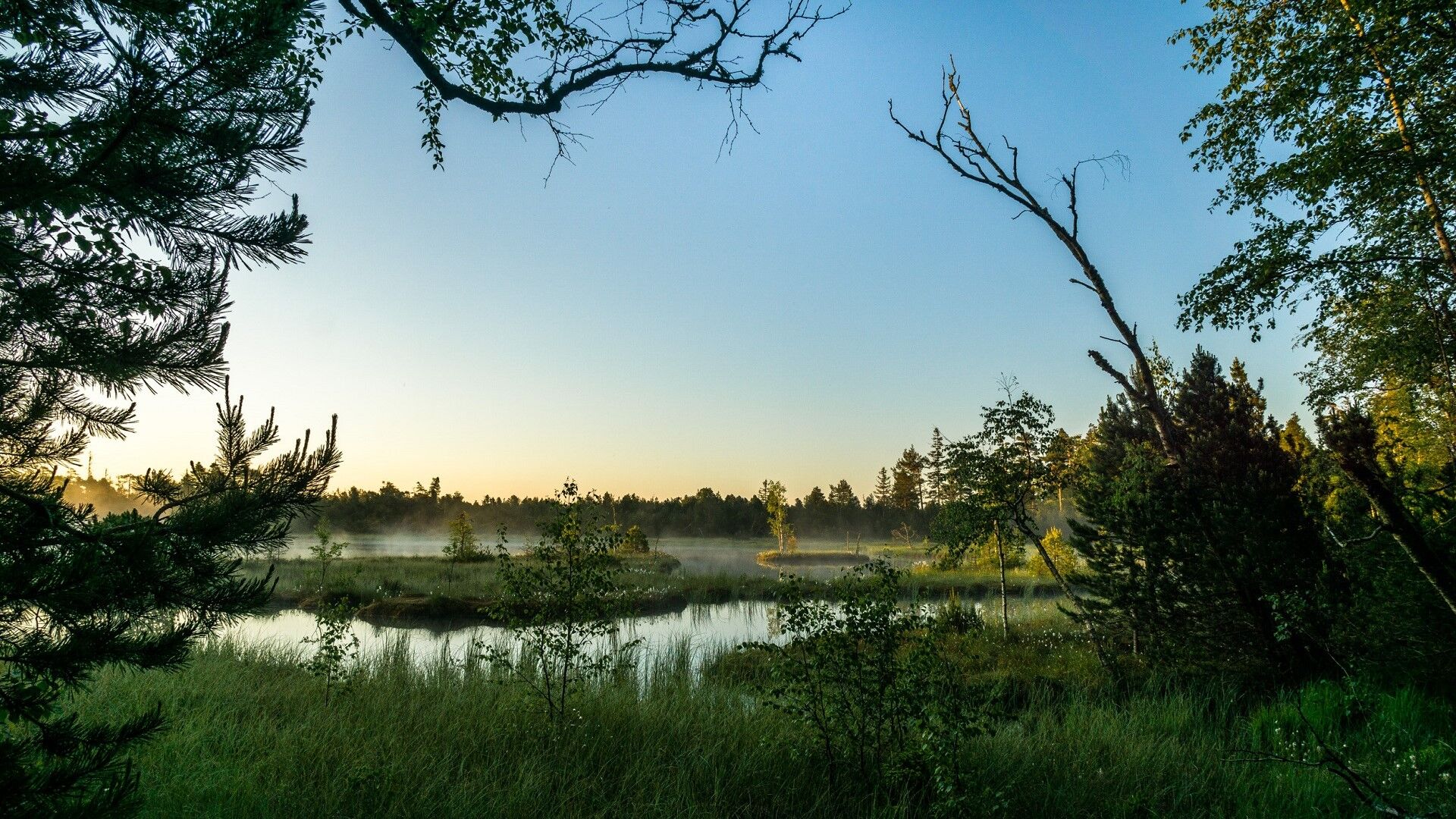
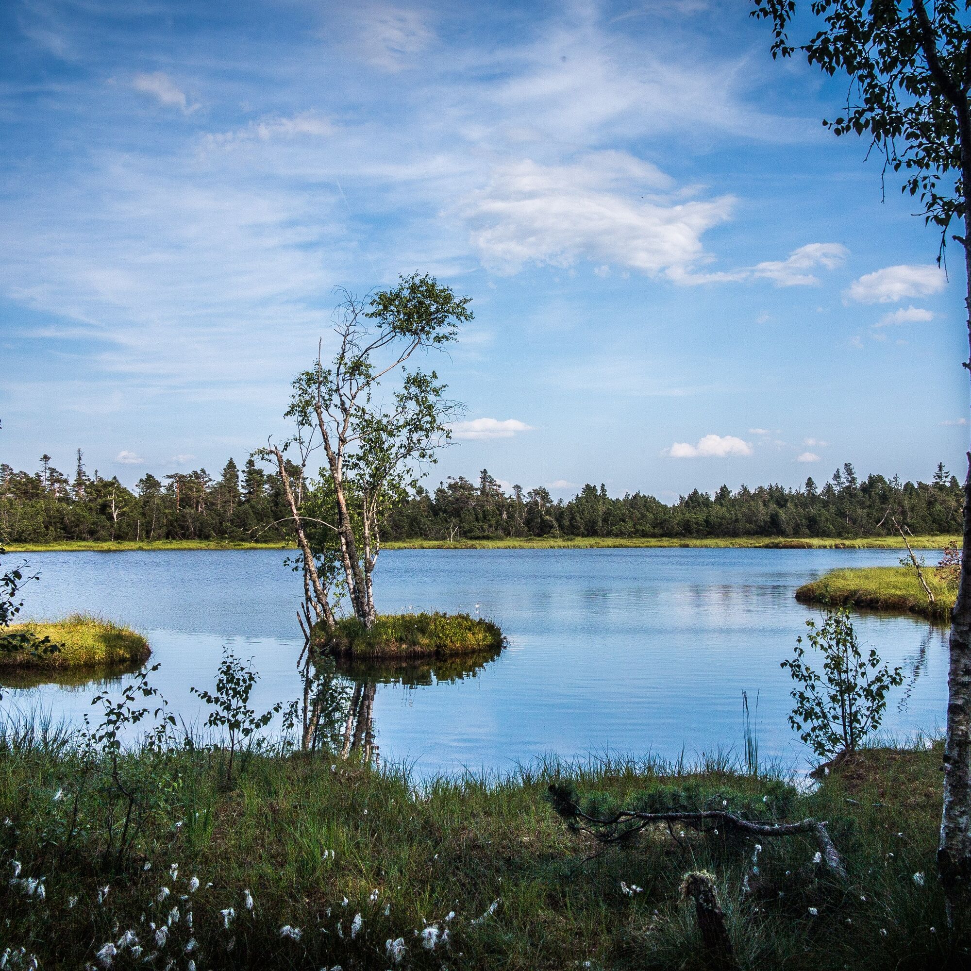
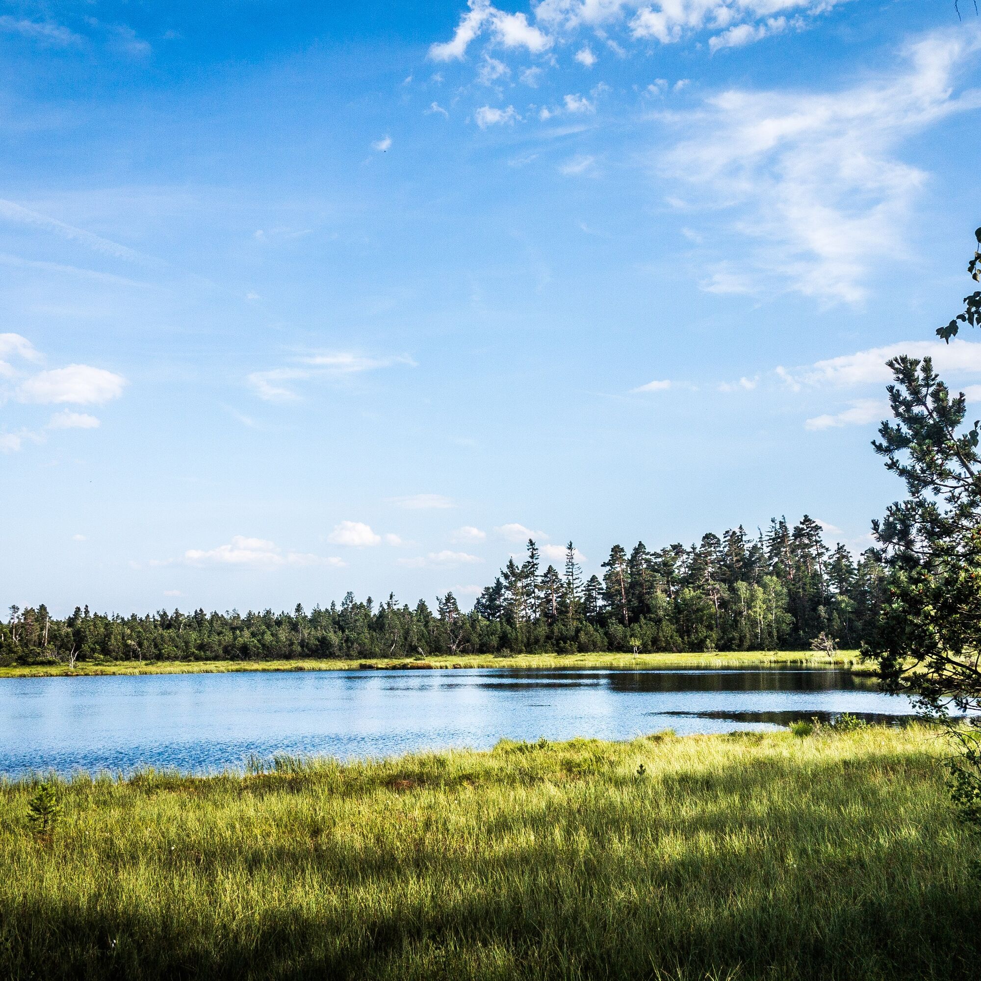
Further on you pass the protected forest area. This means without human intervention the forest developes itself back to a primeval forest. A funny sidestep to the "Jägerschaukel" is worth it. From a wood swing you have a marvellous view over the places Bad Wildbad and Dobel. Afterwards you walk through the core of the tour, the wild sea moor. Here you can get your own memorable moment in the midst of a fascinating scenery. Birch trees, mosses and the mystic moor - be whisked away to Southern Finland!
These signposts lead you the way:
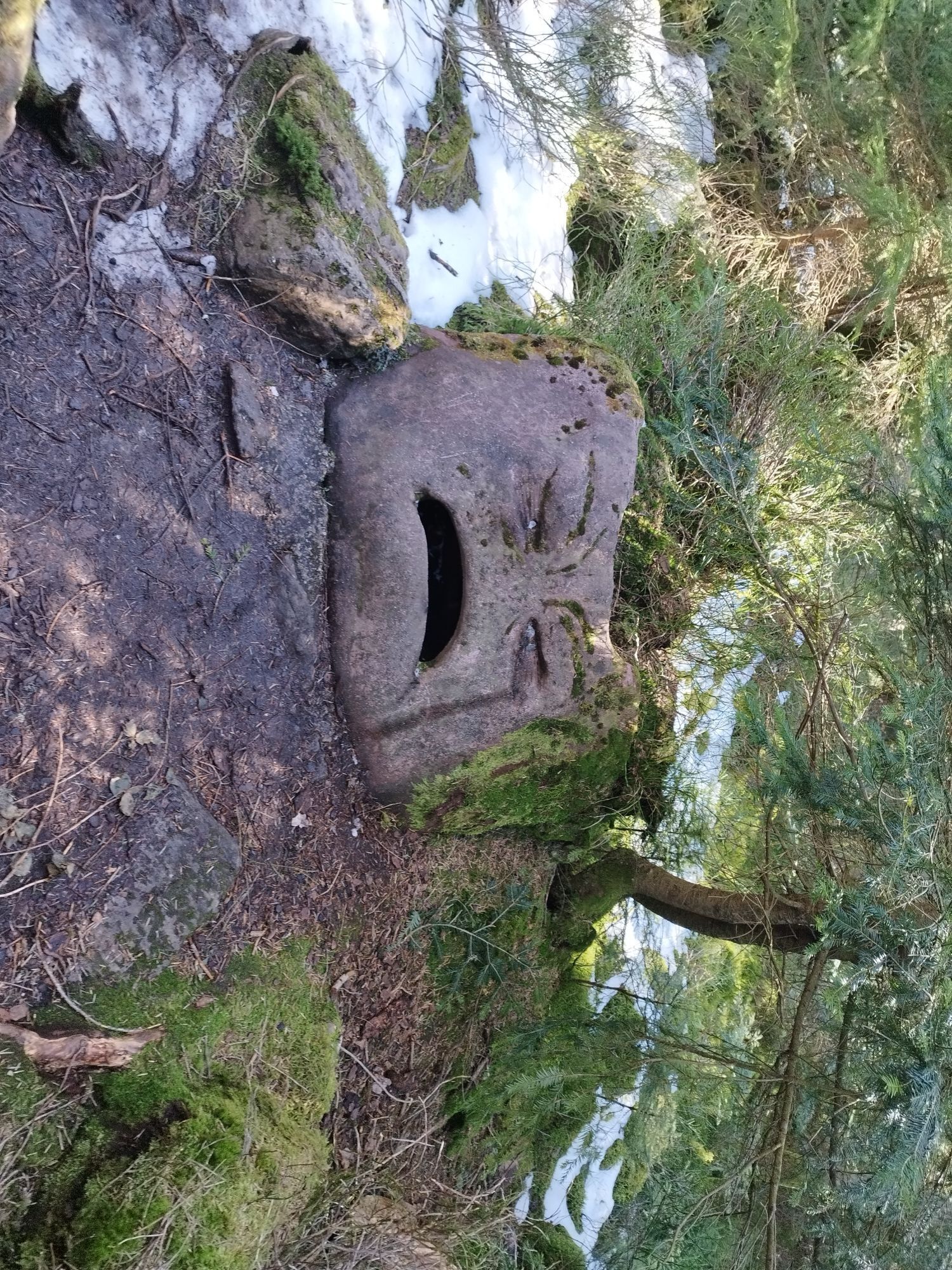
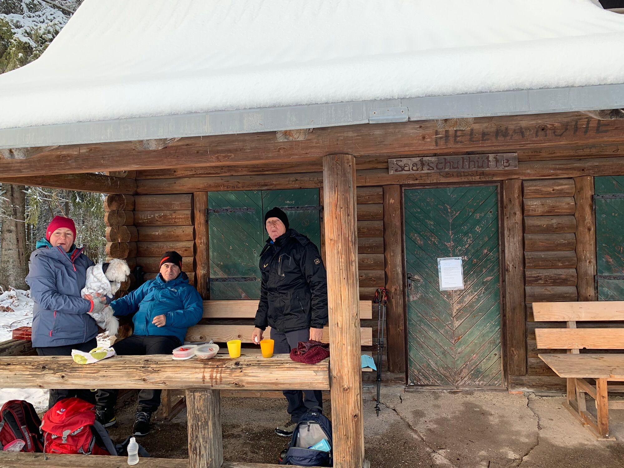
Parkplatz F - Schlittenhang - Infozentrum - Kaltenbronn - Hühnerwässerle - (Auerhahnenstein) - Hohlohsee - Hohlohturm - Turmweg - Schwarzmiss - Kreuzlehütte - Saatschulhütte - (Jägerschaukel) - Horn - Weißensteinhütte - Wildseemoor - Leonhardhütte - (Trollpfad für Kinder) - Wildgehege - Schlittenhang - Parkplatz F Kaltenbronn
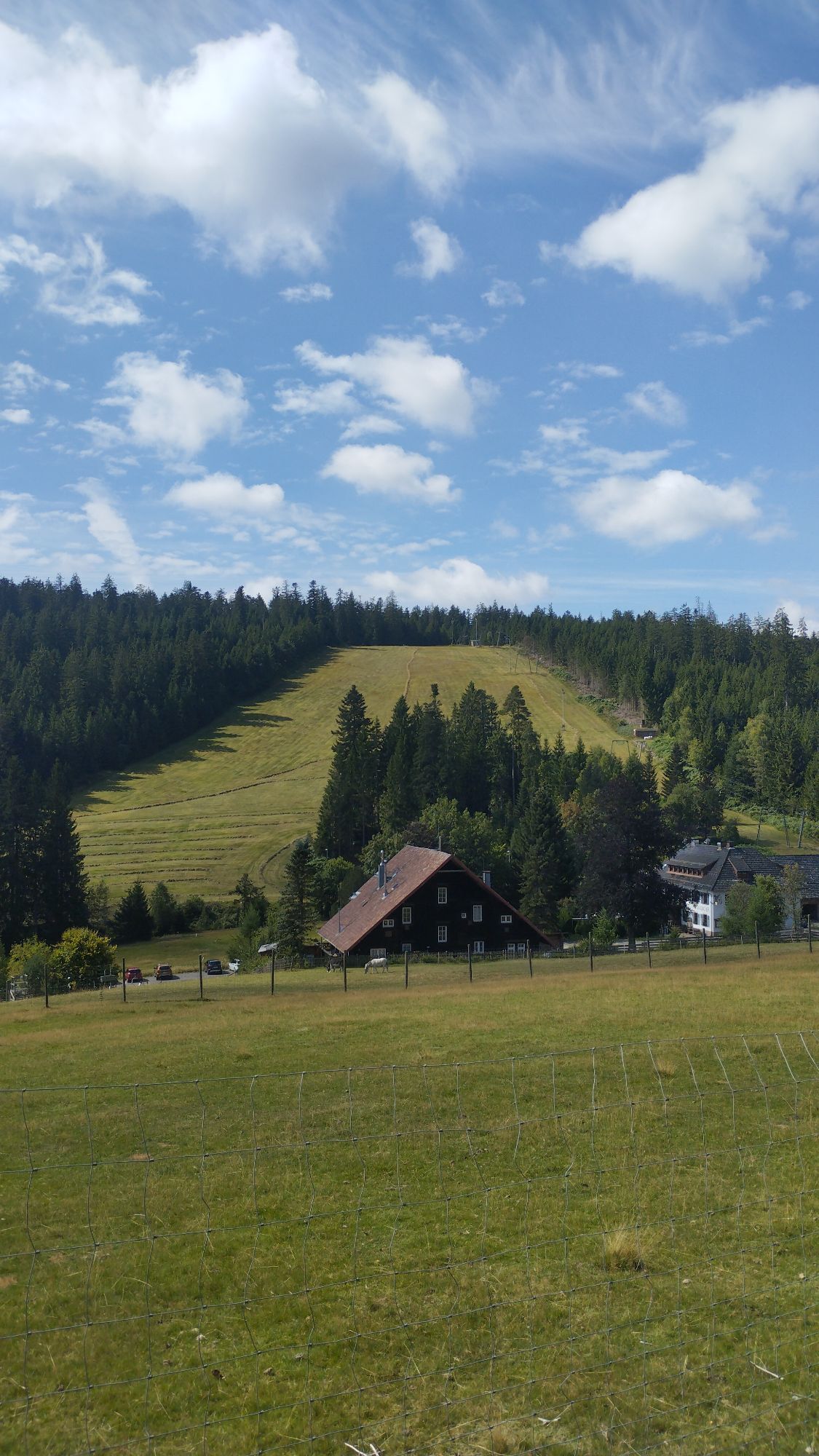
The tour starts at the car park for hikers "F" at Kaltenbronn. You leave the information centre behind you and reach your first stop the "Hühnerwässerle".You follow the way above the ski slopes to the next sign "Hohlohsee" where you find the first highlight!Across a boardwalk through the marshland you will reach the "Hohloh" tower. By climbing up the tower you pass the 1000 metre-mark above sea level and you will be rewarded by a magnificent view over the valleys of Rhein and Murg. Under conditions of clear view you even see the Vosges and the Alps.The next stage in direction to Schwarzmiss and the Kreuzlehütte leads through areas distroyed by the violent gale "Lothar" years ago. Further on you pass the protected forest area. This means without human intervention the forest developes itself back to a primeval forest.A funny sidestep to the "Jägerschaukel" is worth it. From a wood swing you have a marvellous view over the places Bad Wildbad and Dobel.Afterwards you walk to the "Weißensteinhütte" and once again across the wild moor. Here you can get your own memorable moment in the midst of a fascinating scenery.The last hut at this way is the "Leonhardthütte". Before you reach the starting point the info centre Kaltenbronn curious hiker have the opportunity to follow the nature experience path offering interactive stops. Meanwhile kids could discover the the troll path to have wonderful adventures with these mythical creatures. Besides that you can visit a huge game enclosure to observe fallow deer.Who will be hungry after this hike, the hotel-restaurant "Sarbacher" surely have some refreshments and meals ready for you.
Festes Schuhwerk ist empfohlen.
Sie erreichen das Infozentrum über das Murg- und Enztal.
Von Bad Wildbad/Enzklösterle kommend folgen Sie der Beschilderung Richtung Baden-Baden/Kaltenbronn. Von Gernsbach kommend folgen Sie der Beschilderung Richtung Bad Wildbad/Kaltenbronn.
„Navi“ -Tipp: Geben Sie „Gernsbach- Kaltenbronn“ ein
Der Rufbus BW3 fährt von Bad Wildbad auf den Kaltenbronn.
Der Rufbus BW4 fährt von Enzklösterle auf den Kaltenbronn.
Rufbusse können telefonisch unter 07051/96 88 55, per App (VGC-App oder bwegt Bus&Bahn) oder online unter www.vgc-online.de/fahrplaene-netz/vgc-plus bis spätestens 60 Minuten vor Abfahrt bestellt werden.
Die Buslinie F20 fährt am Wochenende direkt vom Altensteig über Enzklösterle auf den Kaltenbronn.
Die Buslinie 242 fährt von Gernsbach auf den Kaltenbronn.
Bequem Parken können Sie auf den Parkplätzen „F“ oder „E“ in Kaltenbronn. Die Parkplätze sind beschildert.
Info center Kaltenbronn: www.infozentrum-kaltenbronn.de/
The Info center Kaltenbronn informs you by an exhibition about history and formation of moors, forests, flora and fauna.

Popularne wycieczki w okolicy
-
5,0
Circular route via spring nature trail and Wurstberg
światłoWędrówka 8,08 km -
4,7
Eyach round
średniWędrówka 7,84 km -
4,2
Kaltenbronn Circular Route No. 1 - Wildsee Moor Loop
światłoWędrówka 8,30 km -
4,7
premium hiking trail Enzquellenpfad
średniWędrówka 19,9 km -
3,0
Dobel High-Altitude Route
średniWędrówka 11,8 km -
4,0
Spaziergang zum Bernsteinfelsen
średniWędrówka 14,5 km -
2,6
Genießerpfad zum Panoramastüble
Wędrówka 10,6 km -
4,8
Weisenbacher Steig (Rechts der Murg)
średniWędrówka 17,6 km -
AugenBlick route Bad Herrenalb Schweizerkopf
średniWędrówka 15,5 km -
4,3
The hang glider route
średniWędrówka 9,09 km
Wędrówki i tropienie


Nie przegap ofert i inspiracji na następne wakacje
Twój adres e-mail została dodana do listy mailingowej.