







Wolfsschlucht and Fox Gorge

Hirsau was at times one of the most important monasteries in Germany.
At the time of its construction in the late 11th century, the three-aisled basilica of St. Peter and Paul was one of the largest Romanesque...
Hirsau was at times one of the most important monasteries in Germany.
At the time of its construction in the late 11th century, the three-aisled basilica of St. Peter and Paul was one of the largest Romanesque churches in southwestern Germany. Hermann Hesse walked a lot in and around Calw-Hirsau. Whether he wandered through the Wolfsschlucht is not known for sure, but it certainly was and is an experience. The Wolfsschlucht can truly be called a secret tip. In contrast to the Monbach valley further downstream of Nagold, the Wolfsschlucht is hardly known.
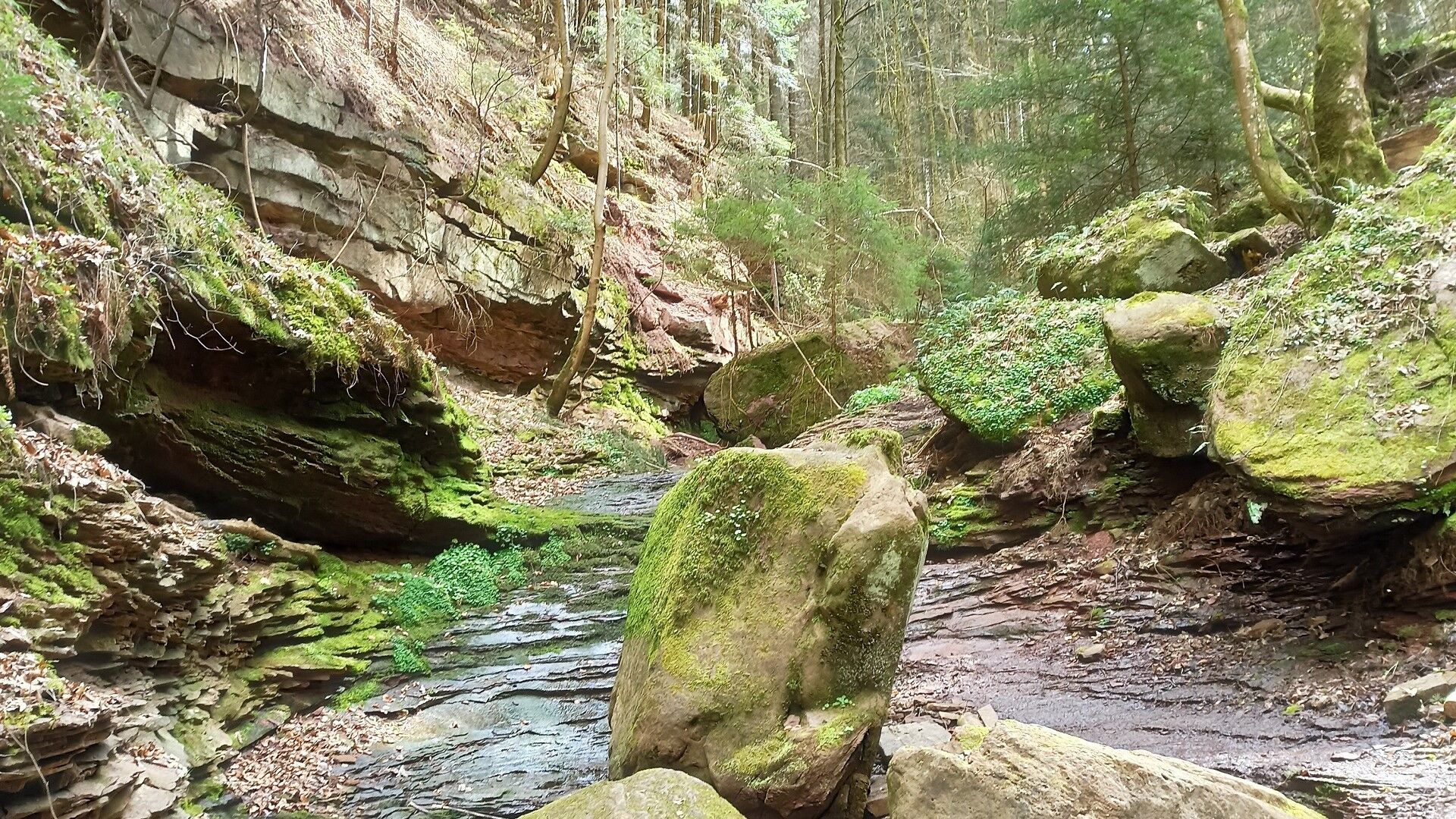
It is wild, the passage almost alpine. Geologically, the gorge is young and constantly changing. Wildly romantic but cosy, it goes through the Fox Gorge to the eponymous restaurant. The current guesthouse is attached to the former stationmaster's house. Here was the stop “Fox Gorge” of the railway line “Hirsau - Weil der Stadt”.

Follow the main signpost locations of the Black Forest Association's signage:
Hirsau station, Aurelius Church, Hirsau, Brother's path, Convent rain, Brand slope, mountain, Wolfsschlucht, Überzwercher path, Fox hole, Monk hole, Fox gorge, Kur forest, Hirsau station
We start our hike at the station in Hirsau (alternative: at the Kloster Hirsau parking lot) and follow the blue diamond across the road. To the left before the bridge is the Monastery museum. Here we can immerse ourselves in the medieval art history of Hirsau and experience the monastery site as the former center of Benedictine reforms in Germany.
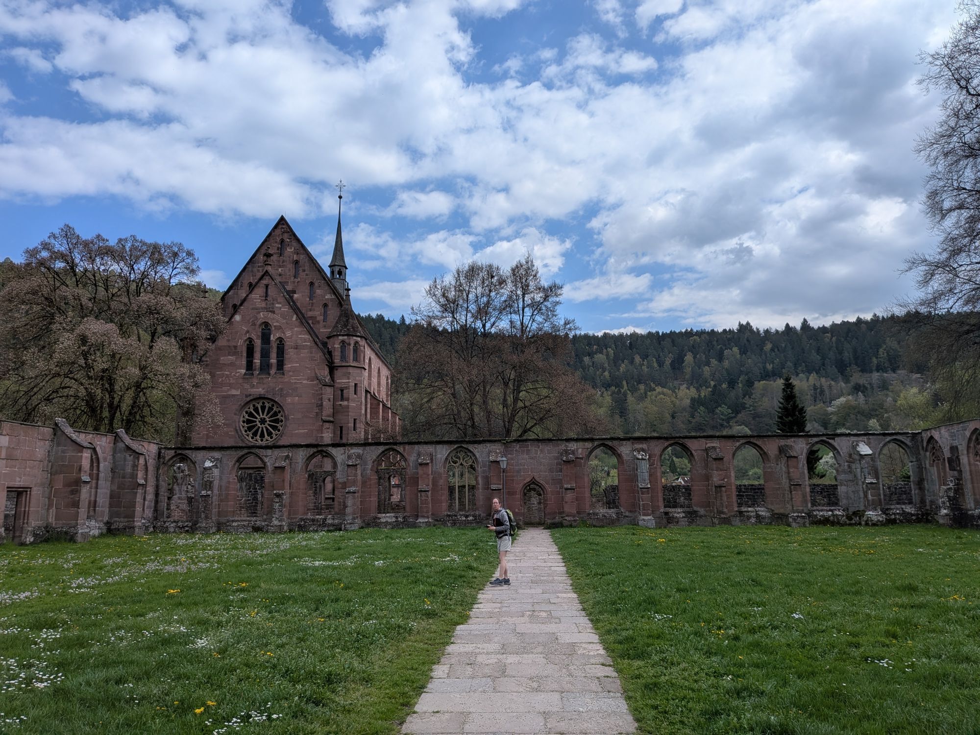
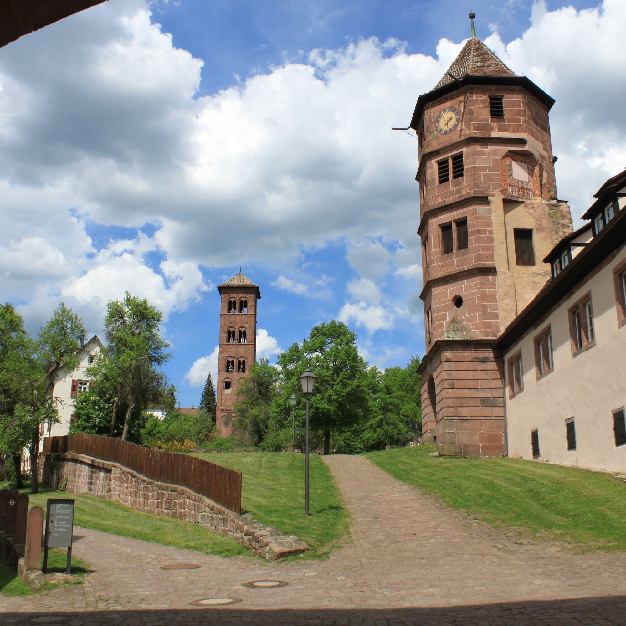
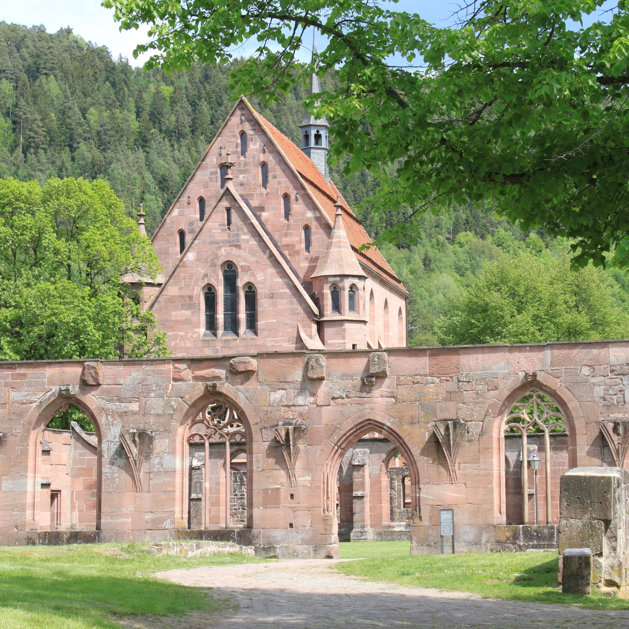
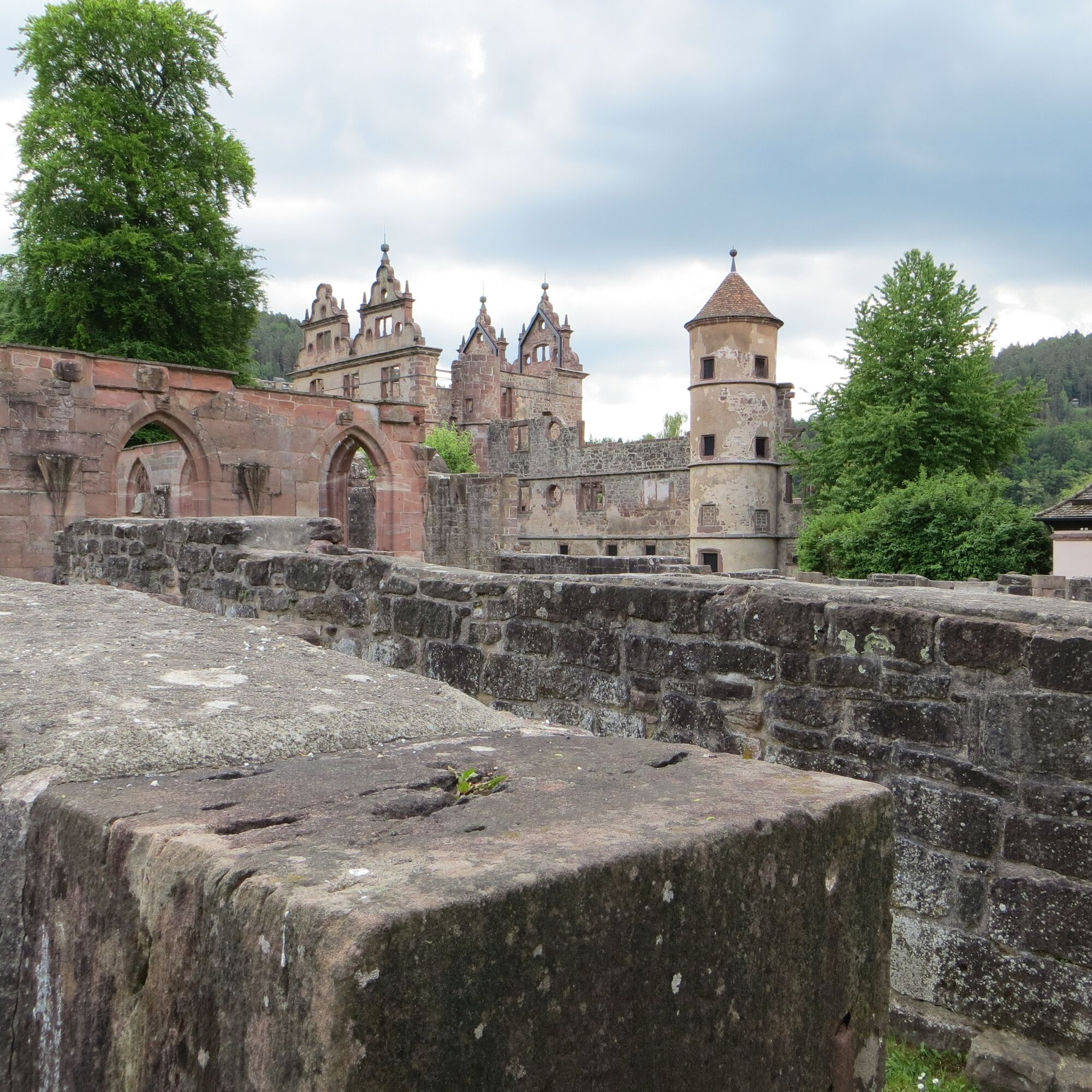
We pass the St. Peter and Paul Monastery complex. The former Benedictine monastery was in the 11th and 12th centuries the most important German reform monastery north of the Alps, which was partially heavily destroyed in 1692 during fierce battles against the French troops. Architecturally significant ruins with relics from various architectural styles can be recognized: the Romanesque column basilica, which was once the largest Romanesque church in southwestern Germany, and the ruin of a Renaissance castle where the elm tree sung by Ludwig Uhland until 1989 stood. Above the Gothic cloister rises the late Gothic Mary chapel, which remains intact. Since 2007, the monastery area has been the backdrop for the “Calw Monastery Summer in Hirsau,” featuring big names and sophisticated productions.
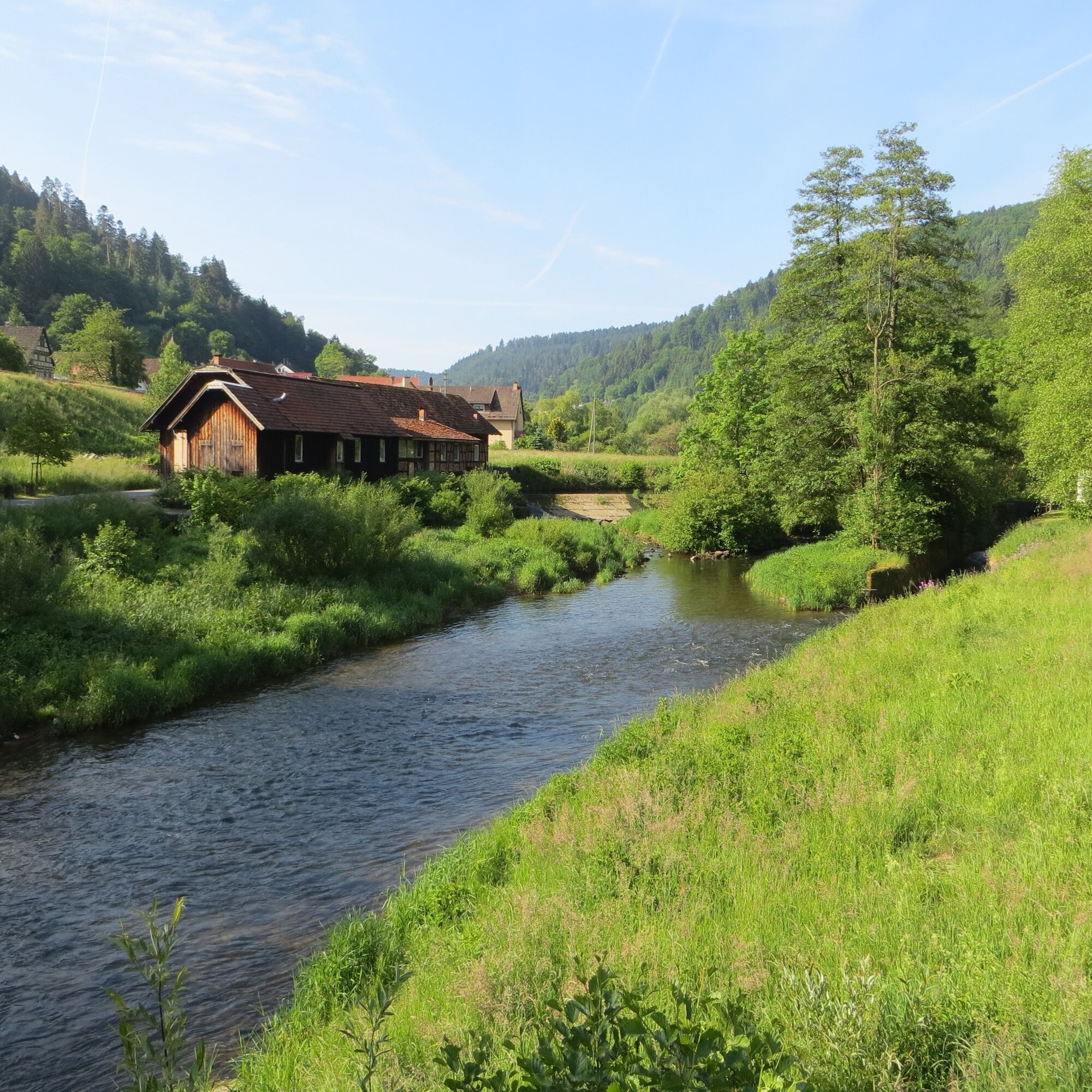
Behind the Upper Gate, we turn right and now follow the yellow diamond. The asphalt road climbs steeply and then changes after the last houses in the village to a forest road, which leads us into the shady woodland. Here at the fork, we go down to the right, following the yellow diamonds towards Ernstmühl. After the spot where the landslide was secured, there is a beautiful view towards the Nagold valley and the monastery in Hirsau. Through a right curve, we reach the village of Ernstmühl, which lies dreamily in the Nagold valley. We cross the road and then a bridge over the Nagold. Then we keep to the right and then two times to the left, following the wooden signposts towards Wolfsschlucht, briefly leaving the yellow diamond. Our pulse might increase now, as the road leads steeply uphill. But this doesn't last long, as we quickly enter the forest and the path flattens. A gentle silence embraces us, and after we keep right at the spider junction, this could turn into a pleasant thrill.
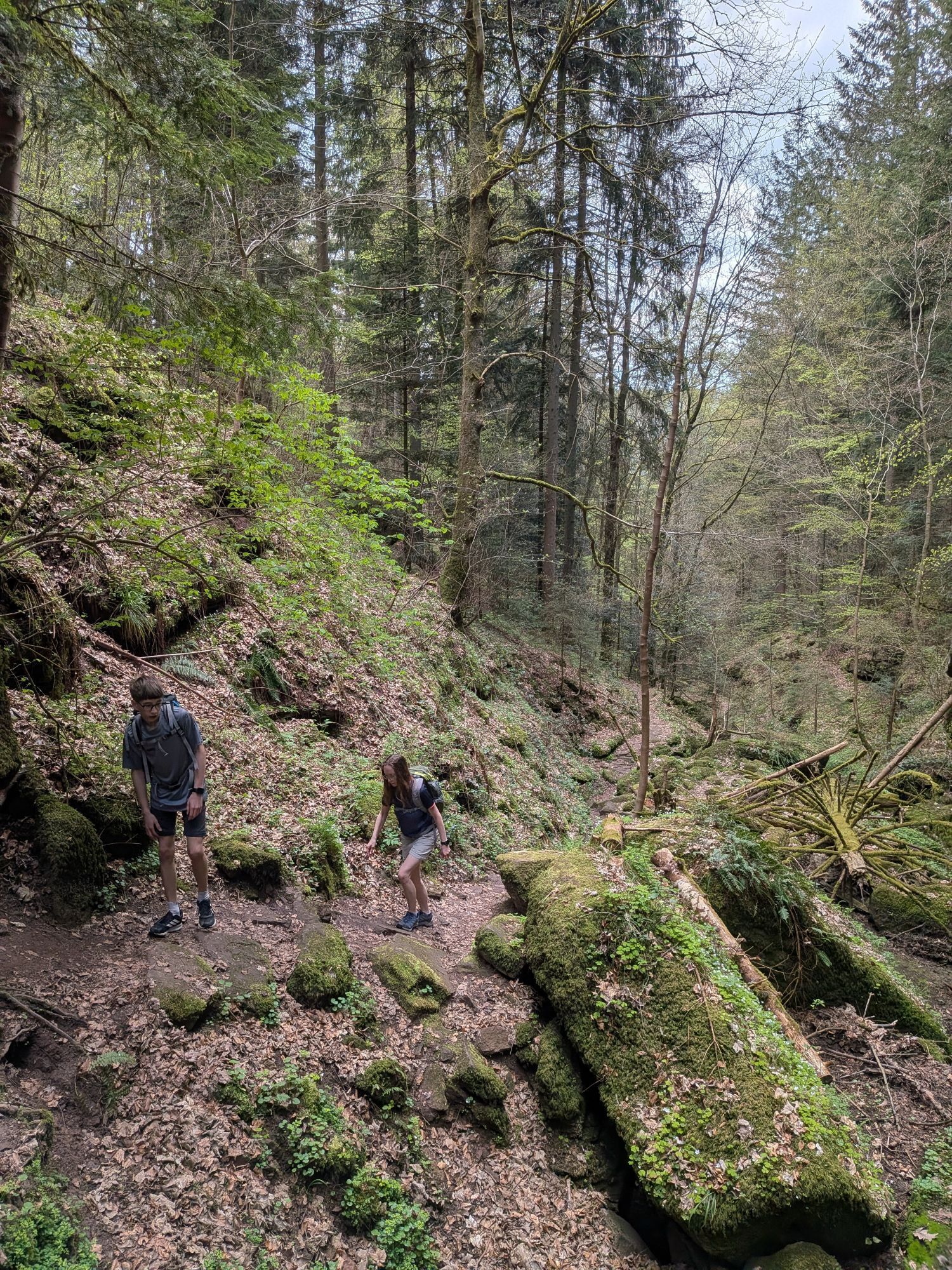
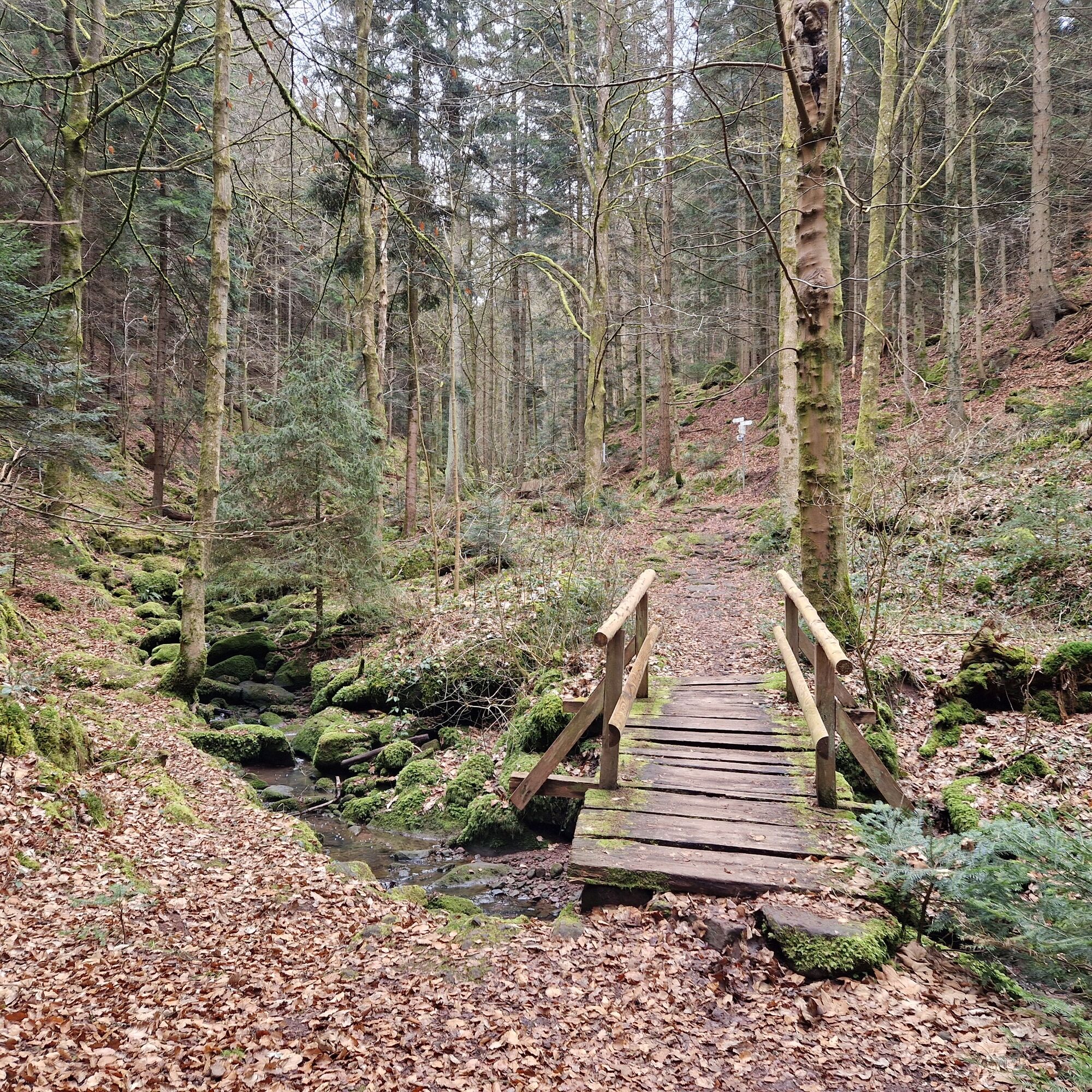
The reason is entering the Wolfsschlucht (yellow diamond again). A narrow wooden bridge leads us into the marvel of nature, and we cannot stop marveling. The winding, adventurous path almost has an alpine character.
Note: Due to this alpine character, there is an option here to take an alternative route. Via a somewhat steep ascent that leads off to the left, you can reach a paved forest road heading towards Ottenbronn. In a sharp right curve, you then reach the Wannenweg, which leads to the end of the Wolfsschlucht. This route is indicated on a hiking map at the entrance of the Wolfsschlucht. You should also allow about half an hour more for this.
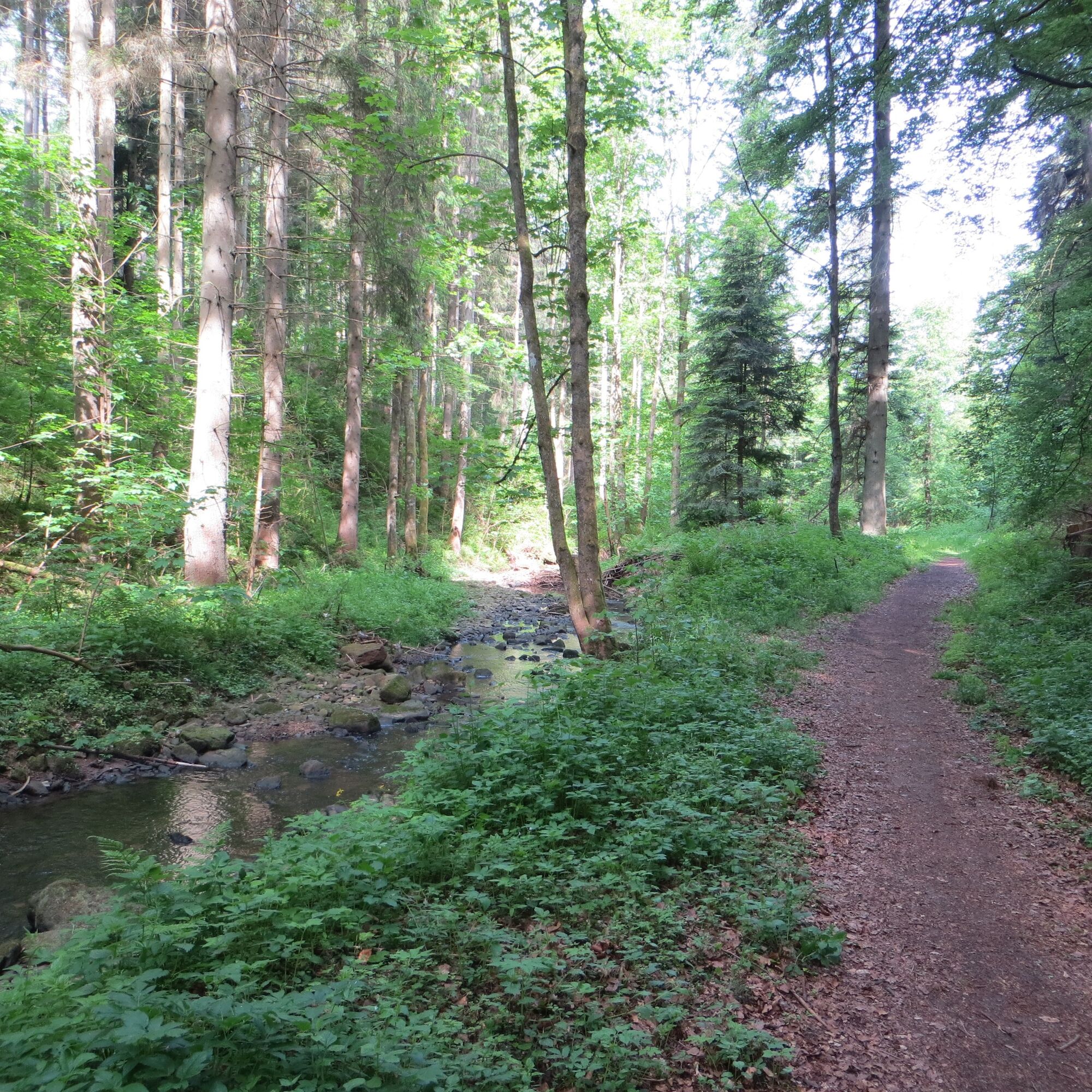
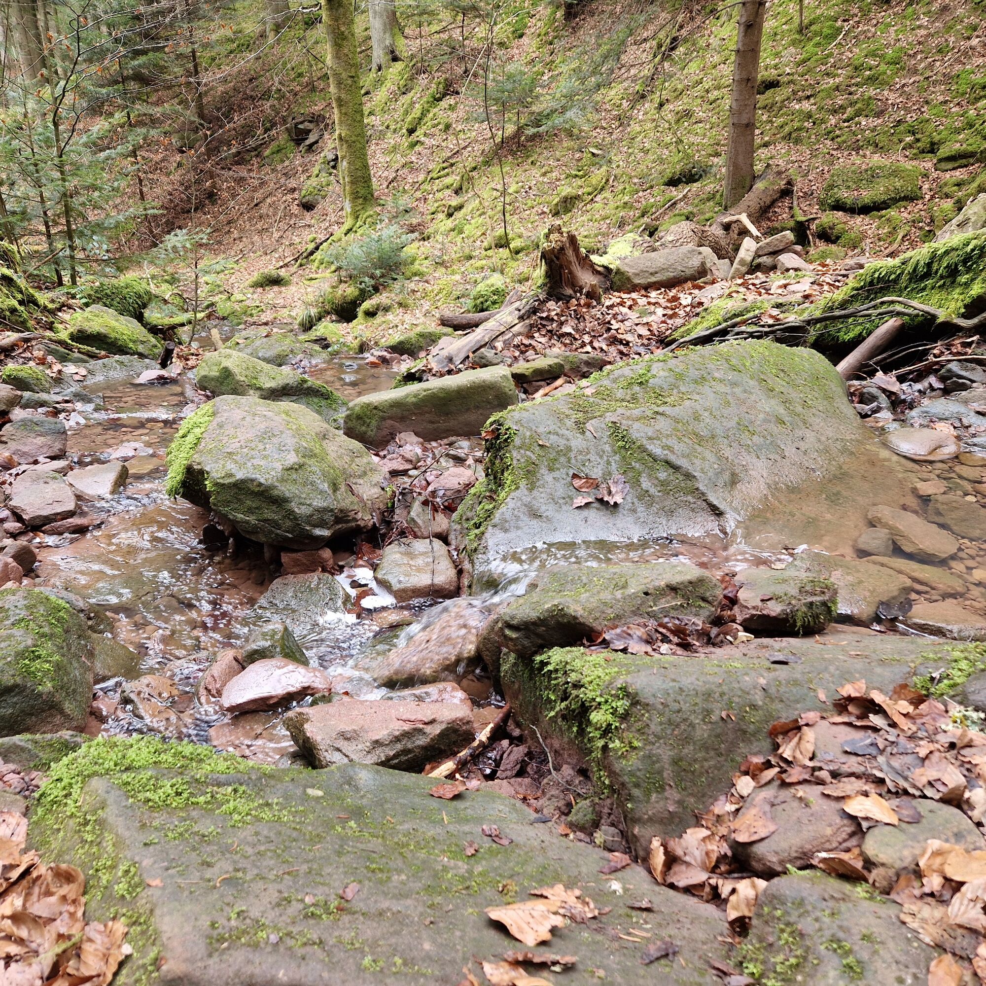
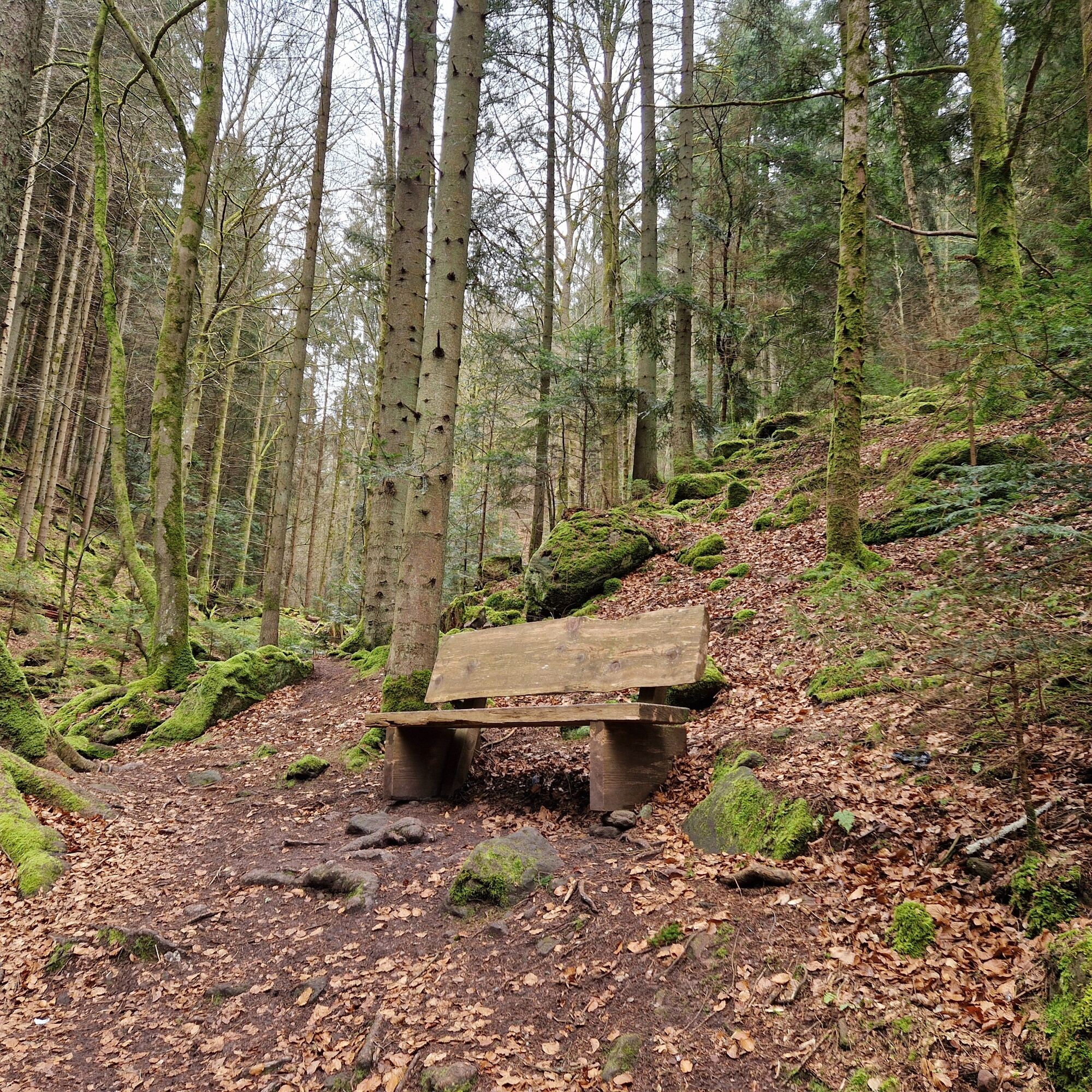
Following the Wolfsschlucht, we have to cross moss-covered stones and are very close to bizarre rock formations and natural plant splendor. Time around us seems to stand still, and we can simply enjoy. Alpine terrain in a primeval forest-like atmosphere best describes the setting of this unique gorge.
It seems as though we could continue hiking/climbing like this forever, but the path leads us out of the gorge again. A quiet “goodbye” is a must, and then we are ready for the next kilometers of our hike. We cross the road and hike uphill on the stone path with the yellow diamond. At the following fork, we turn right and continue along the mountainside. Eventually, we reach another fork, where we go left. Gorgeous meadow terrain lets us cover some more altitude before we meet a forest path again.
We ignore the first branch to the right, which leads to the Fox Gorge, and continue straight ahead. Finally, we turn right and then just before the road, left onto a narrow path. Now we need to be careful and follow the blue diamond to the right from here.
A picturesque path leads us downhill and then left through the romantically wild Fox Gorge. Parallel to the stream valley, we reach the Fox Gorge Restaurant and Café (closed since 1.11.2020!), where we can sit comfortably and refresh ourselves. The fact that the hike continues for the last kilometer along a road to the destination can be easily endured since we have experienced fantastic natural landscapes up to this point. Eventually, we reach Hirsau and are back at our starting point.
Tak
Sturdy footwear and weatherproof clothing are recommended. Partly alpine character (Wolfsschlucht). Possibly drinks for the way. Refreshment options at the Fox Gorge restaurant and in Hirsau.
Attention! Due to several storms, the section through the Wolfsschlucht has become somewhat more rustic and demanding! Please be sure to wear sturdy footwear.
For those who do not like it so alpine, a small detour in the Wolfsschlucht is signposted.
Arrival by car:
Highway A8 from Karlsruhe: Exit Pforzheim-West (approx. 30 km); continue via federal road 463 towards Calw-Hirsau Highway A8 from Ulm/Stuttgart: Exit Leonberg (approx. 25 km), continue via federal road 295 towards Weil der Stadt to Calw-Hirsau Highway A81 from the south / Lake Constance: Exit Gärtringen city center (approx. 20 km), continue via K 1075; near Deckenpfronn take the first exit at the roundabout and continue on B 296 towards Calw. Continue via federal road 463 to reach Calw-Hirsau.Plan your arrival by car at www.map24.de
More information is available at www.calw.de/Anreise.
Arrival by train:
Route Pforzheim - Calw - Horb - Tübingen (Cultural railway). Long-distance train connections (EC, IC, ICE) are best reached in Karlsruhe with connecting trains via Pforzheim (Cultural railway) to Calw, stop Hirsau. For arrival via Stuttgart, we recommend continuing with the S-Bahn S6 Stuttgart - Weil der Stadt with a transfer to bus line 670 to Calw. From the Calw central bus station (ZOB), take the Cultural railway to Calw-Hirsau, stop Hirsau.Plan your arrival at http://reiseauskunft.bahn.de/bin/query.exe/d
Arrival by bus:
Greater Stuttgart area bus line 670 DB Bahn Regiobus / Volz; (Calw-Weil der Stadt) connection to S6 Böblingen / Sindelfingen area: bus line 763 DB Bahn Regiobus; Calw-Böblingen (connection to S1) From the Calw central bus station (ZOB), you can reach Hirsau by bus lines 670, 680 or 820, stop St. Aurelius or stop Monastery. You can also reach Hirsau with the Cultural railway from the Calw ZOB, exit at Hirsau stop.Plan your arrival at www.efa-bw.de
Additional parking options:
Gym parking lot Hirsau, Alte Kuranlagen Parking lot at Hirsau stationAllow enough time to visit Hirsau with its monastery. In summer, a visit to the Calw Monastery Summer in Hirsau is worthwhile.



Popularne wycieczki w okolicy
-
5,0
Wild romantic Monbach Valley
światłoWędrówka 6,25 km -
4,9
Der Teinacher (Premiumweg & Genießerpfad)
średniWędrówka 12,0 km -
4,7
Through the wild romantic Schweinbachtal to the Bruderhöhle cave
średniWędrówka 13,8 km -
5,0
Water, Woods and Meadowtrail / Zavelstein > Calw (Premium trail & Genussweg)
ciężkiWędrówka 14,4 km -
5,0
AugenBlick route Bad Teinach-Zavelstein Zettelberg
ciężkiWędrówka 15,5 km -
5,0
GeoTour Wildberg through the picturesque Lützenschlucht
ciężkiWędrówka 2,80 km -
4,0
Circular route Hirsau - Oberreichenbach - Schweinbachtal - Hirsau
średniWędrówka 10,2 km -
4,5
Waldeck ruins and the largest water wheel in Europe
średniWędrówka 15,4 km -
4,0
Through the Lengenbach valley to the historic Burg Liebenzell
średniWędrówka 10,9 km -
5,0
From Altburg over scenic heights to Zavelstein
średniWędrówka 10,6 km

Wędrówki i tropienie


Nie przegap ofert i inspiracji na następne wakacje
Twój adres e-mail została dodana do listy mailingowej.





