







AugenBlick route Bad Teinach-Zavelstein Zettelberg
On this AugenBlick route, please follow sometimes the yellow, sometimes the blue, and sometimes the East Trail diamond (black-red) between the signpost locations.
On this beautiful AugenBlick route, you...
On this AugenBlick route, please follow sometimes the yellow, sometimes the blue, and sometimes the East Trail diamond (black-red) between the signpost locations.
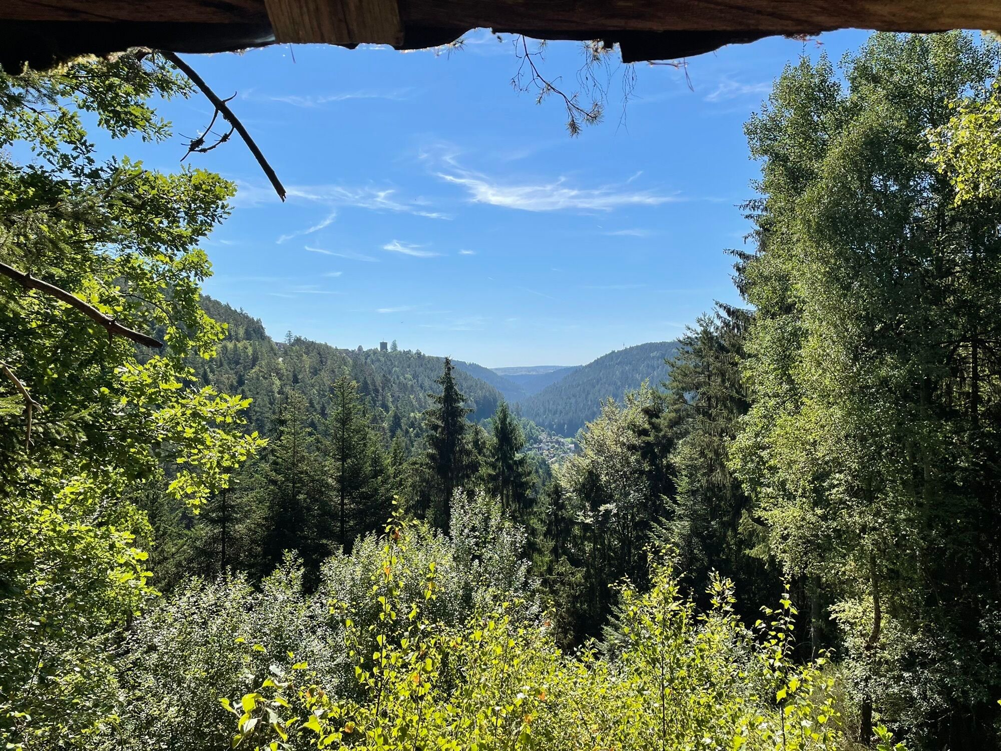
On this beautiful AugenBlick route, you can enjoy the magnificent views over Rötenbach, Emberg, Zavelstein, and Bad Teinach. From the higher elevations, the view reaches across the Heckengäu to the Swabian Jura.
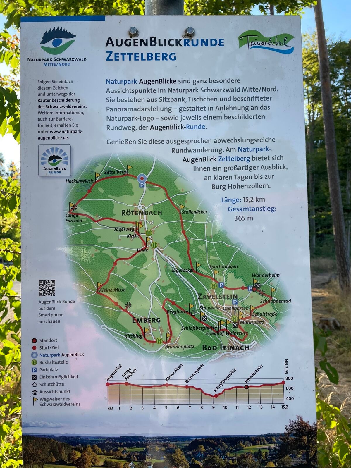
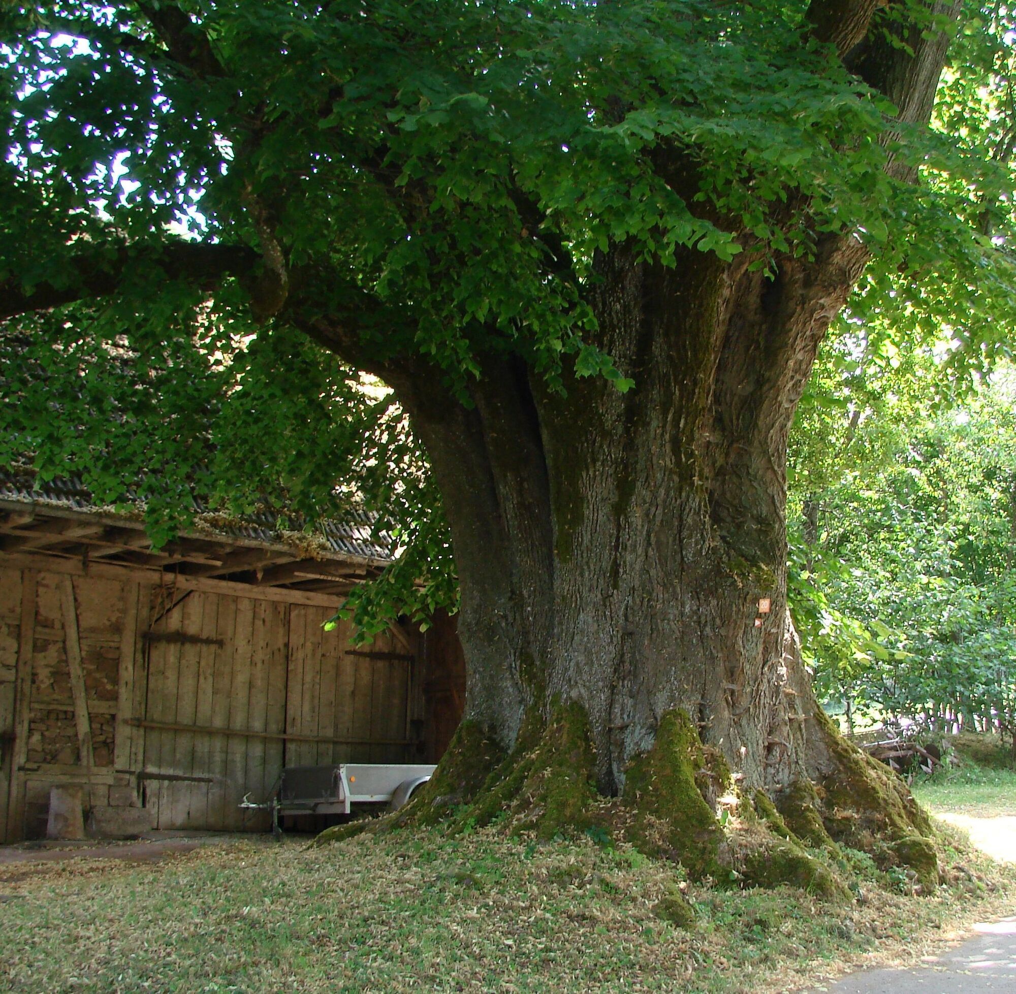
From the starting point, the AugenBlick location Zettelberg, we follow the old Wine Road past the century linden tree (natural monument) to Emberg. Through the village of Emberg, we walk toward the mountain hut (view to Zavelstein and the valleys), then down through the Wolf gorge to beautiful Bad Teinach.
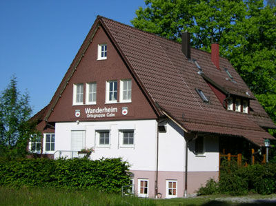
Along the Rötenbach and the Wolf gorge, the path leads uphill over the Schlossberghütte, which invites you to take a break, to Zavelstein. A detour through the historic small town with the Zavelstein castle ruins is definitely worthwhile, before continuing over the “Spinnerin Kreuz” to the Zavelstein hiking home. Past the crocus meadows, the path leads back to Rötenbach.
Signposting and trail network of the Black Forest Club.
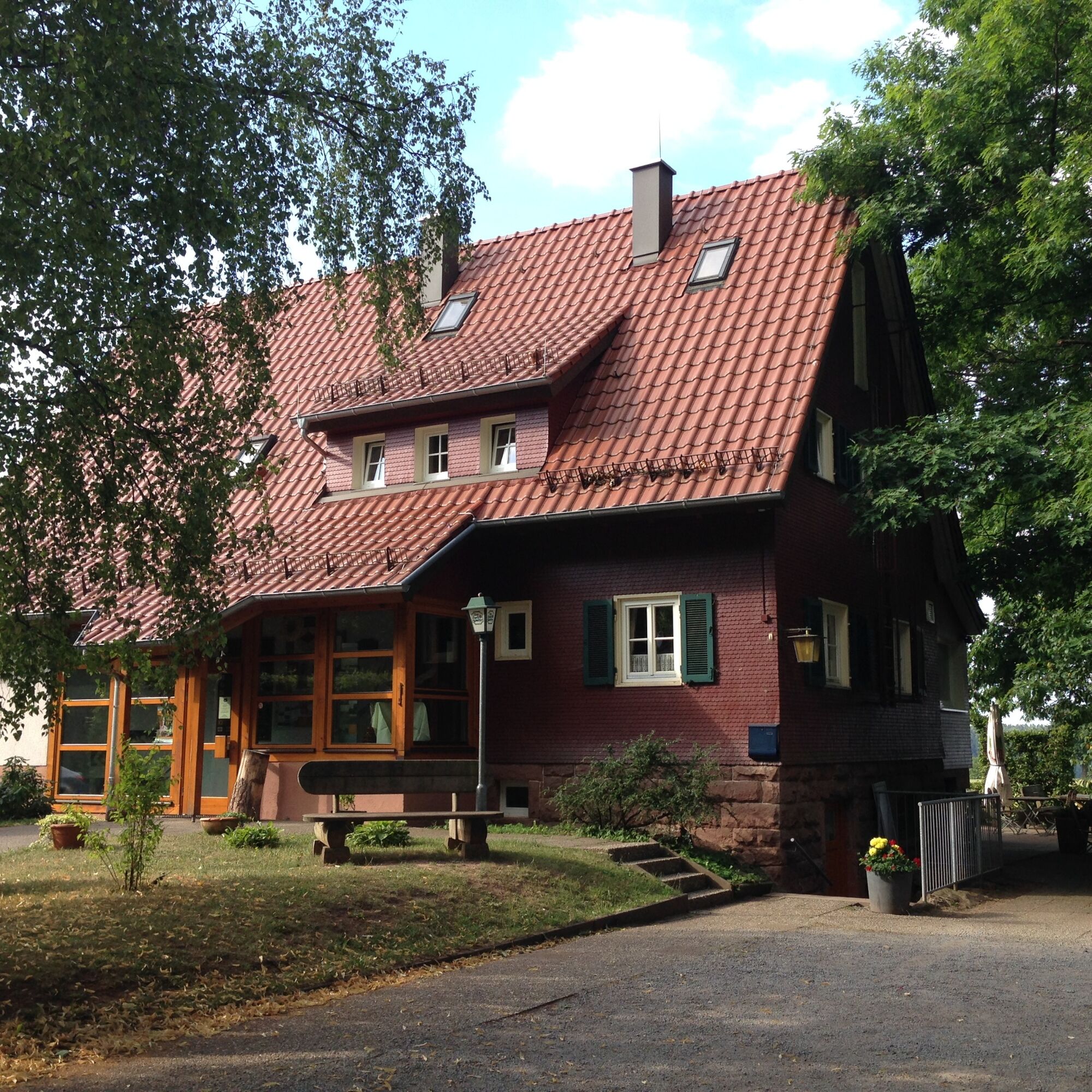

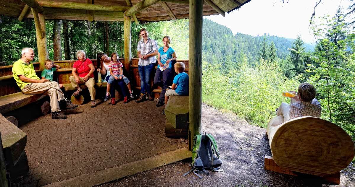
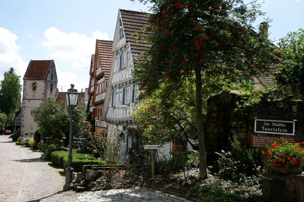
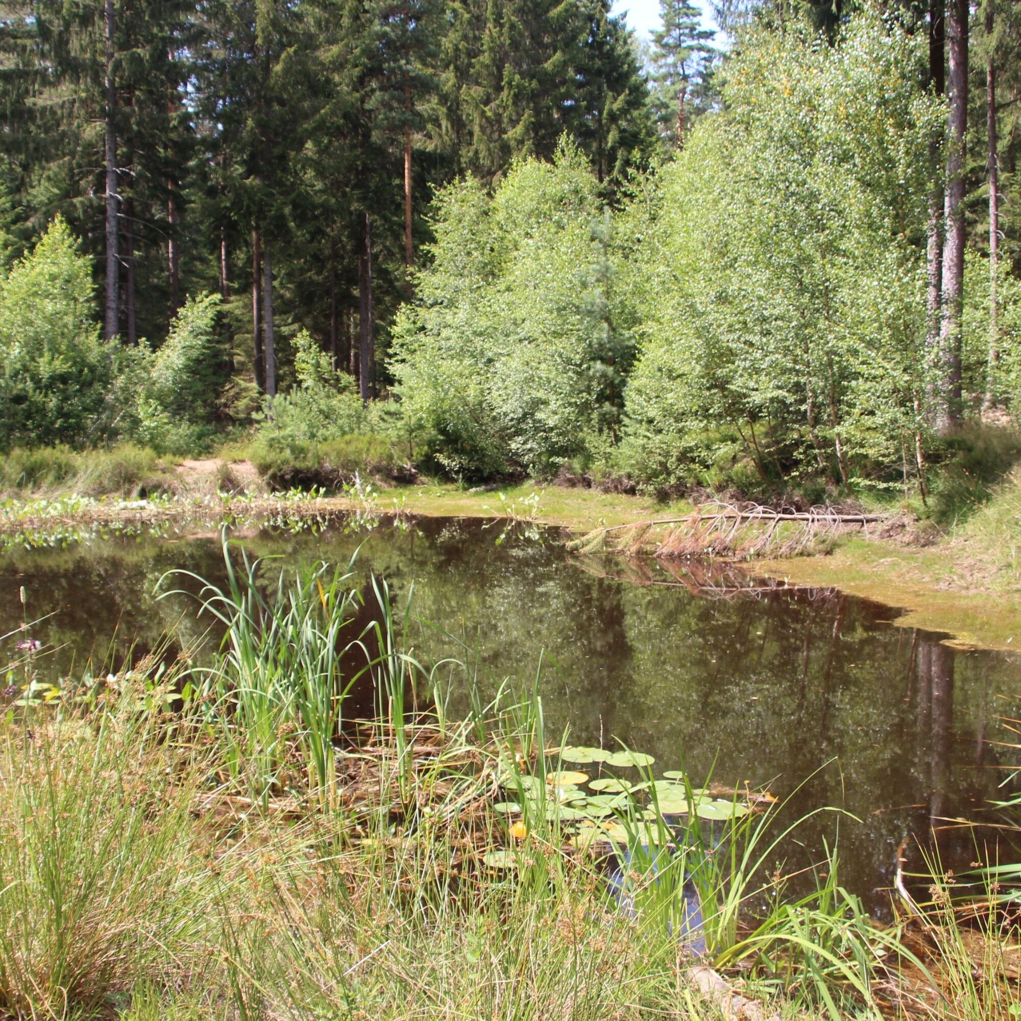
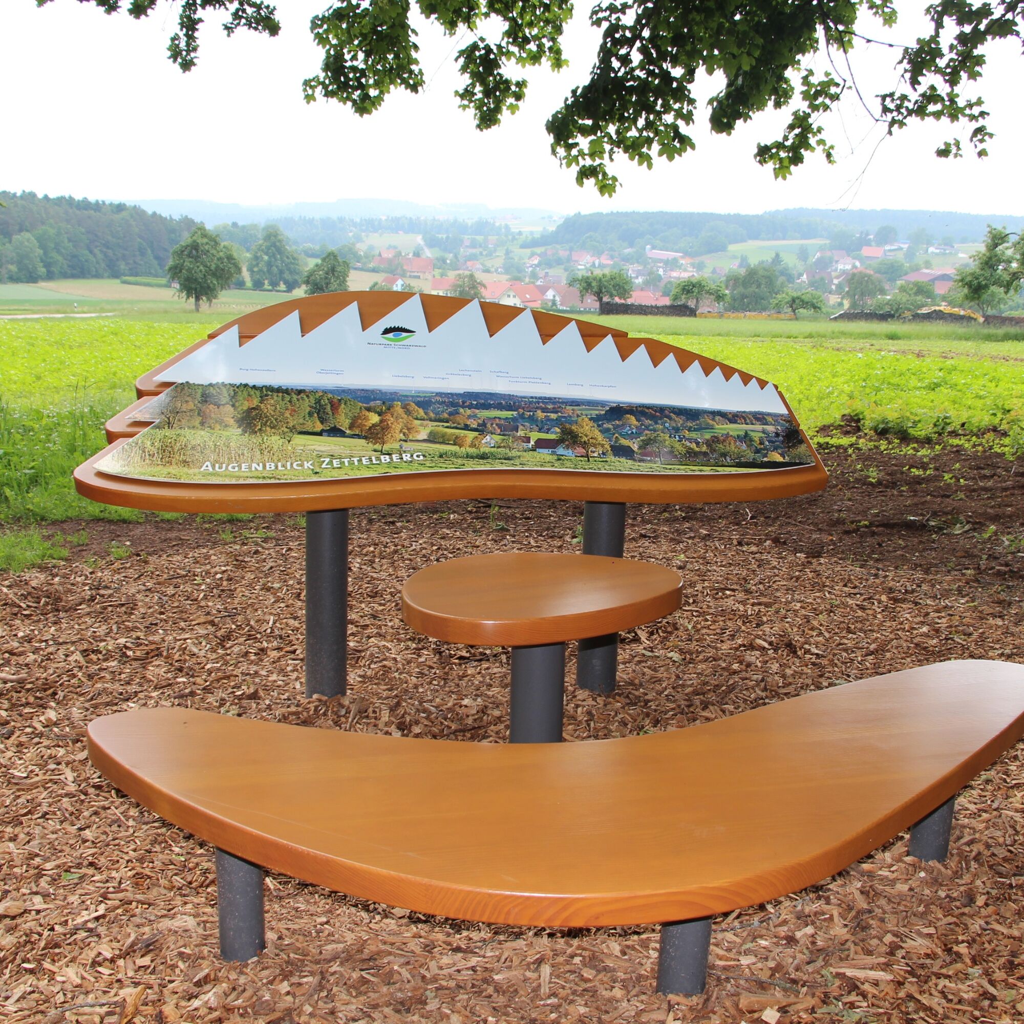
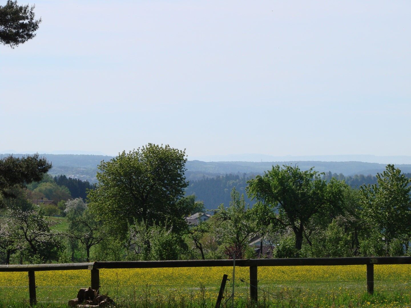
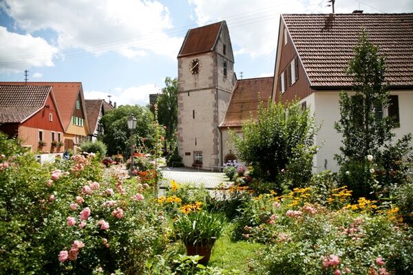
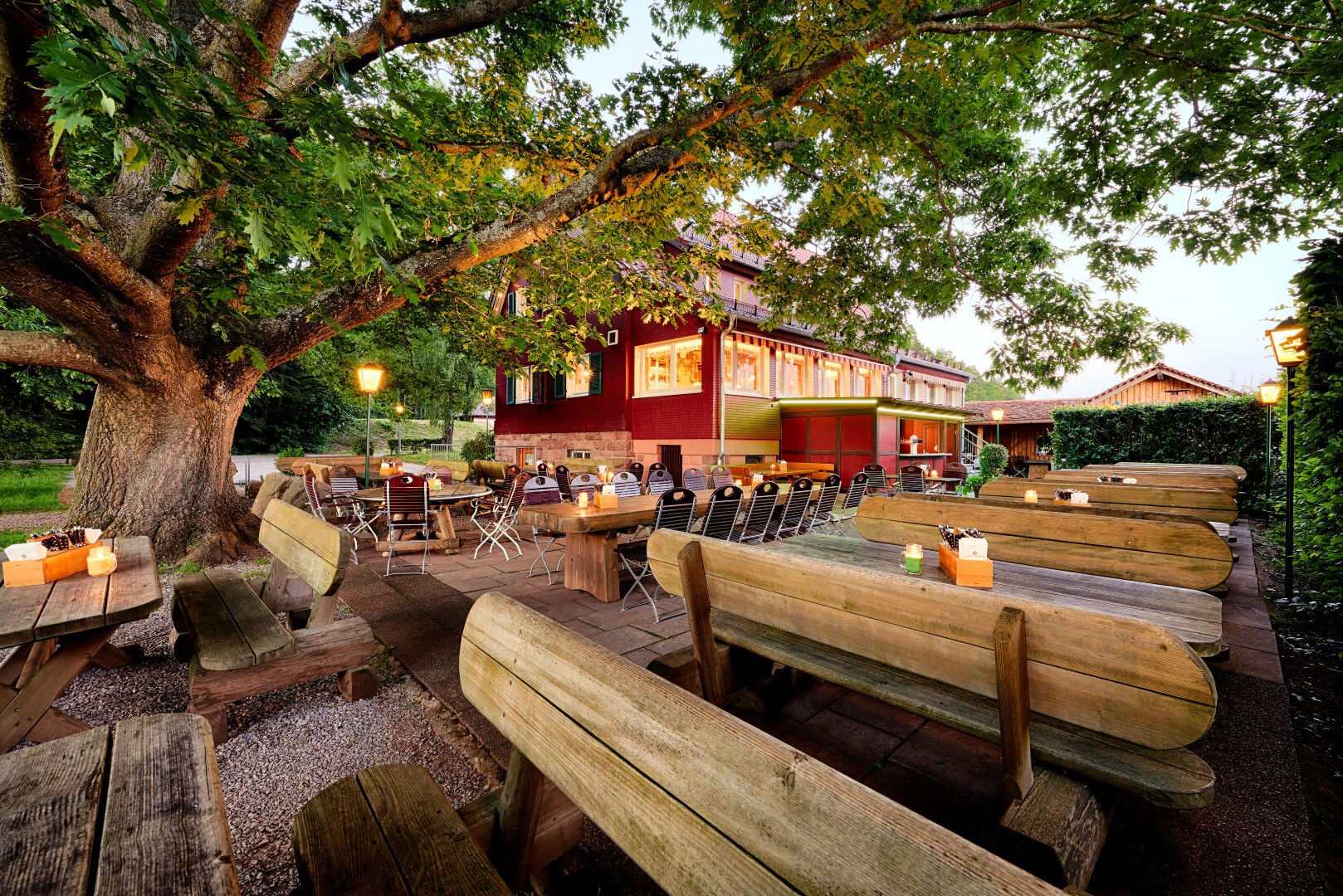

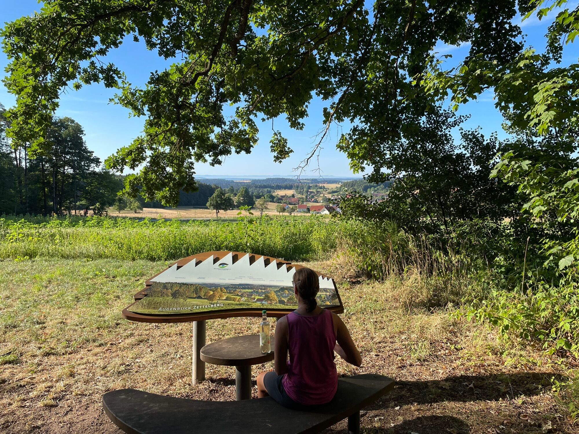
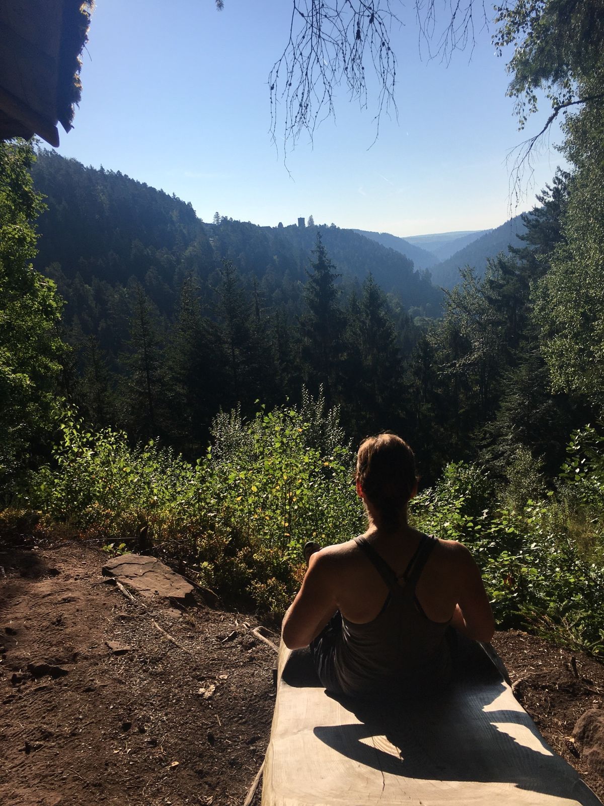
The AugenBlick Zettelberg, a viewpoint as well as the start and end of our route, is a great place to begin a hike. Very close by, picturesque in the valley and partly hidden behind gnarly trees, lies the village of Rötenbach, framed by the lush green of the meadow landscape. And when we look further into the distance over some forests, we enjoy the view of the Swabian Jura. Lemberg, Hohenkarpfen, Lochenstein, Plettenberg – to name just a few gently undulating elevations revealed to our eyes. The highlight on a clear day is the view of Hohenzollern Castle to our left. How lovely that we can visit this place once again on our return!
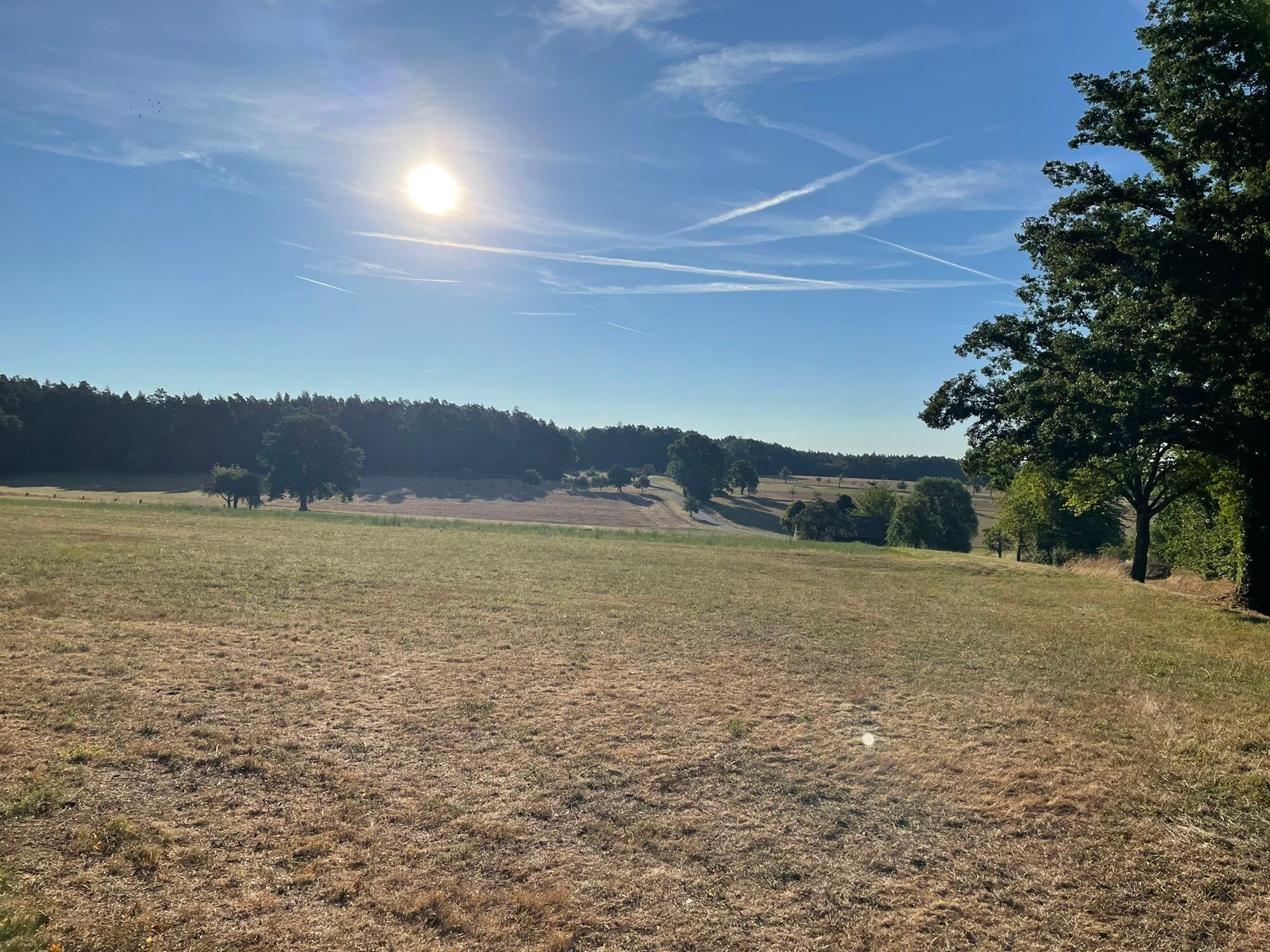
Finally, we start our hike, immerse ourselves in the pleasant freshness of the forest, and follow the Naturpark-AugenBlick symbol and the diamonds of the Black Forest Club. On a wide path, we reach a fork after 200 m, keep left there, and thus encounter a small biotope. If we're lucky, we can observe some different water birds on the shimmering surface! Then the path leads us left and soon out of the forest. At the next opportunity, we keep left and walk gently downhill. About 400 m further, we turn left again and walk past the shooting house. This leads us along a beautiful section at the forest edge where we can once again admire the magnificent landscape.
Soon after, we reach Rötenbach and follow the signs through the small village. After passing a farmhouse, we walk right past the century linden tree planted around 1700, which has an impressive trunk circumference of 690 cm, and leave Rötenbach once more. Now it goes gently uphill and back into the forest. At the signpost location Kleine Misse, we turn left towards Emberg and shortly after leaving the forest, we reach the Emberger barbecue area, where we can take a first break. A detour to the left leads us to another viewpoint, offering us a fantastic view of the Swabian Jura and Zavelstein with its castle ruins. A small foretaste, as later we will experience the castle up close!
After our short break, we walk right at the fork with a nice view of the former clearing island Schmieh and thus reach Emberg. We cross the village and turn left at the crossroads but should first enjoy the beautiful view into the Teinach valley.
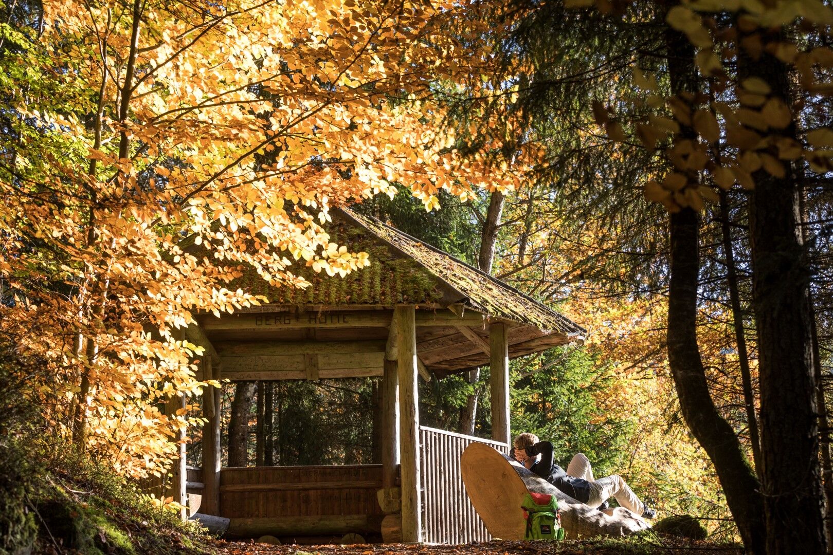
We leave the last houses of Emberg behind, walk through wide fields and past individual trees, then turn right onto a downhill path into the forest. At the following crossroads, we take the left turn to reach the signpost location Berghütte. A detour to the mountain hut is worthwhile to enjoy the view from there.
Finally, we zigzag downhill on a narrow, adventurous path into the Wolf gorge. A wonderful section unfolds before us: along the romantically wild Rötenbach, we hike on a narrow path, crossing stairs, roots, sticks, and stones. Then we cross the stream and leave the valley uphill at the outskirts of Bad Teinach. Part of our hike now takes place on the East Trail (black-red diamond).
A few meters off our path is the Schlossberghütte. Before we take on the following climb, we should settle down on the cozy sun terrace and strengthen ourselves with coffee and cake or a delicious snack. Then we cross the L346 and go up a narrow forest path with some switchbacks. Once at the top, we leave the forest and enter the imposing Zavelstein castle ruins.
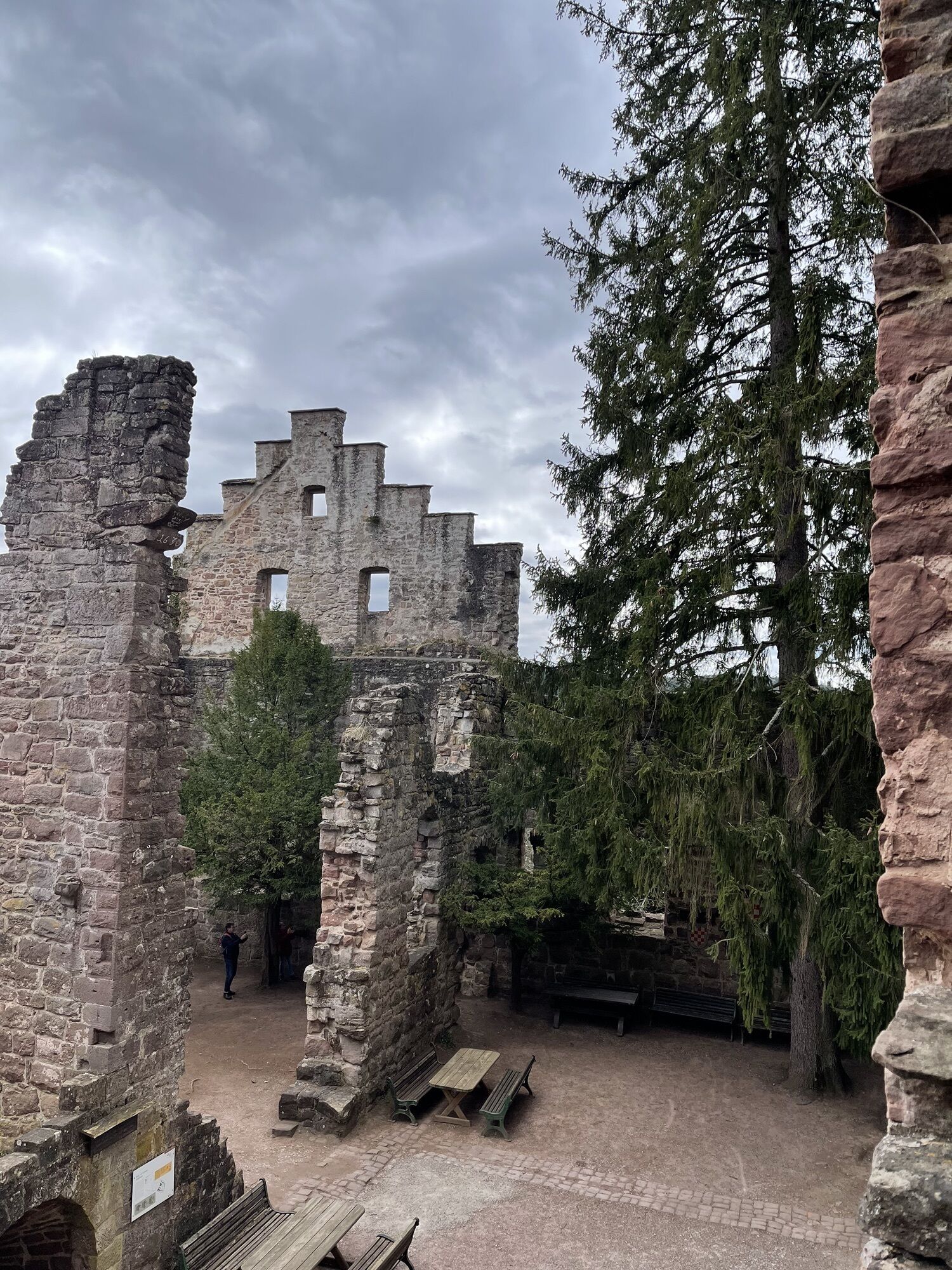
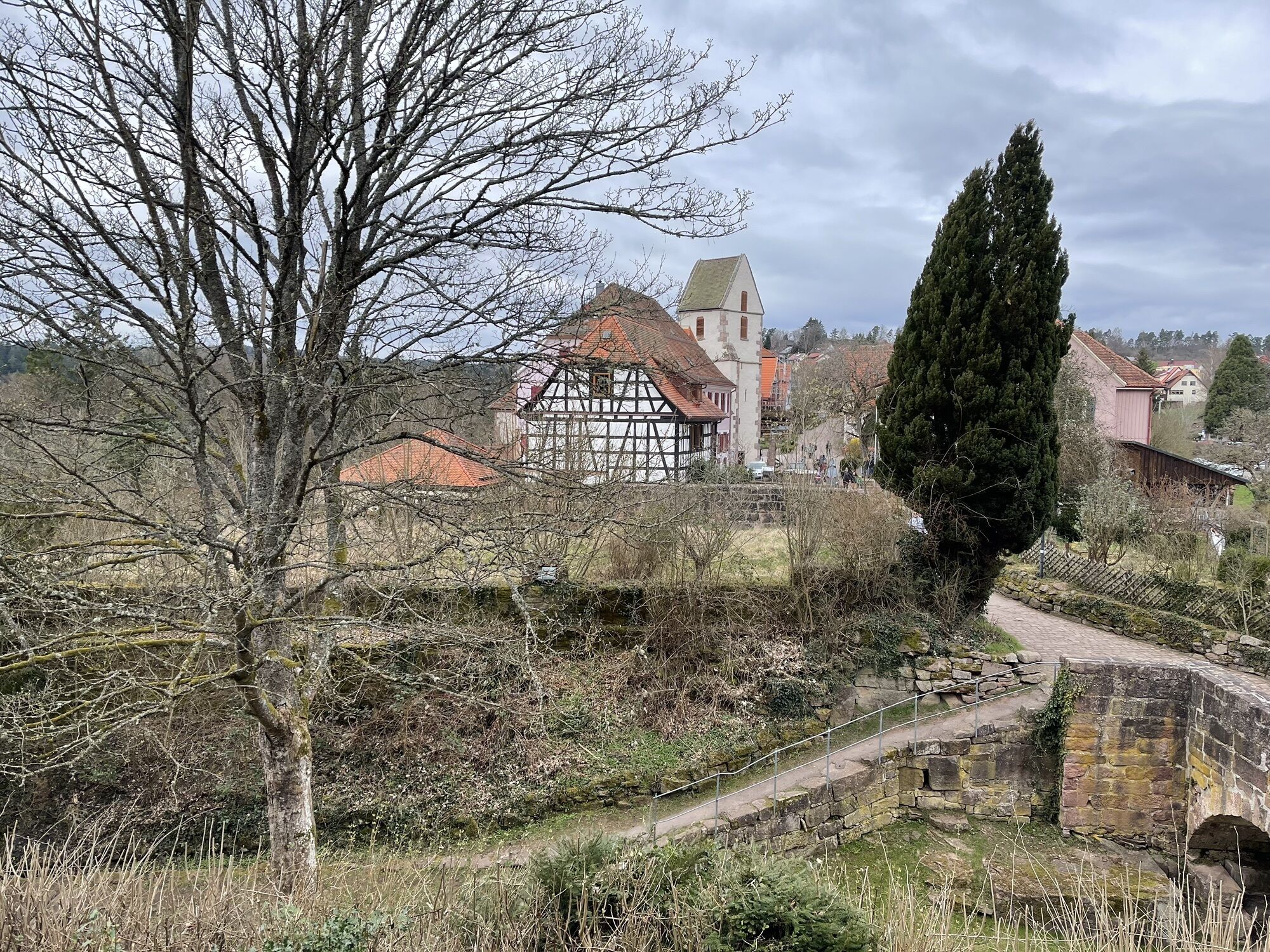
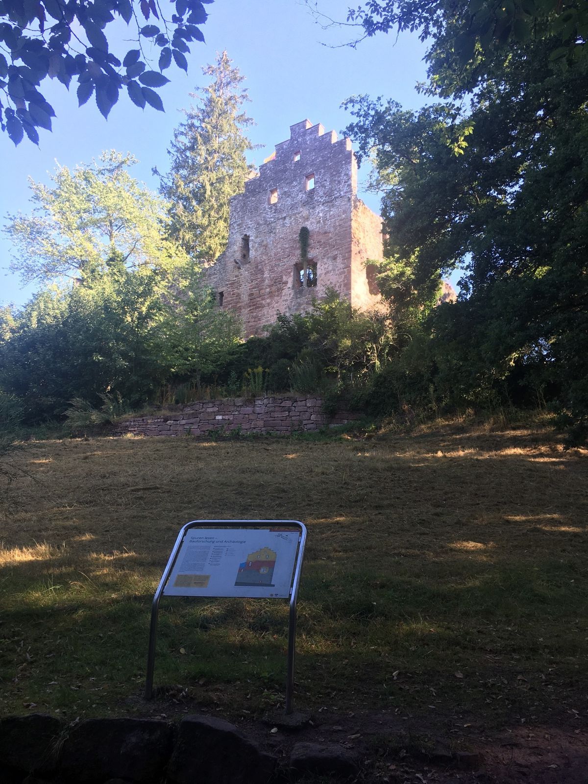
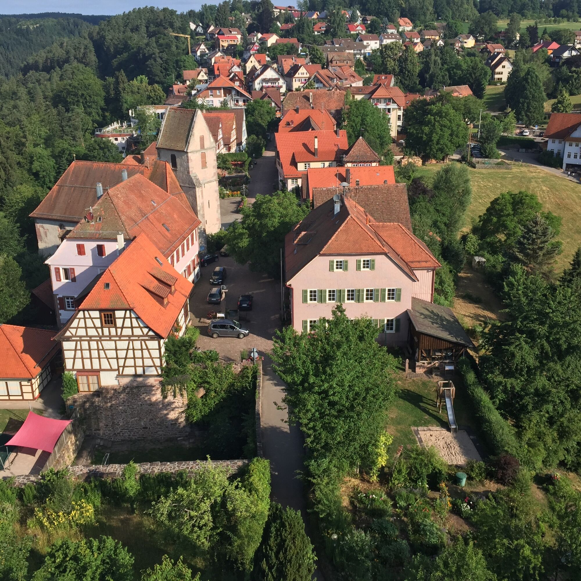
Today, we can still see the two neck ditches, the palas ruins, the gate complex, two vaulted cellars, parts of the shield wall, as well as further remains of the zwinger complex and ring walls of Zavelstein. And, of course, the 28-meter-high bergfried. We want to climb up to its viewing platform to let the wonderful view take effect on us. Now we can pause and enjoy! Over the winding valleys of the Black Forest, we can let our gaze wander to the Swabian Jura. Back at the foot of the castle ruins, the hike leads us through the picturesque small town of Zavelstein. Charming half-timbered houses, sensual fountain installations, and colorful flower displays line the streets. At a house by the wayside, we can accept the invitation to visit a former smithy. We could spend hours in the heart of Zavelstein, but quietly, the way back calls.
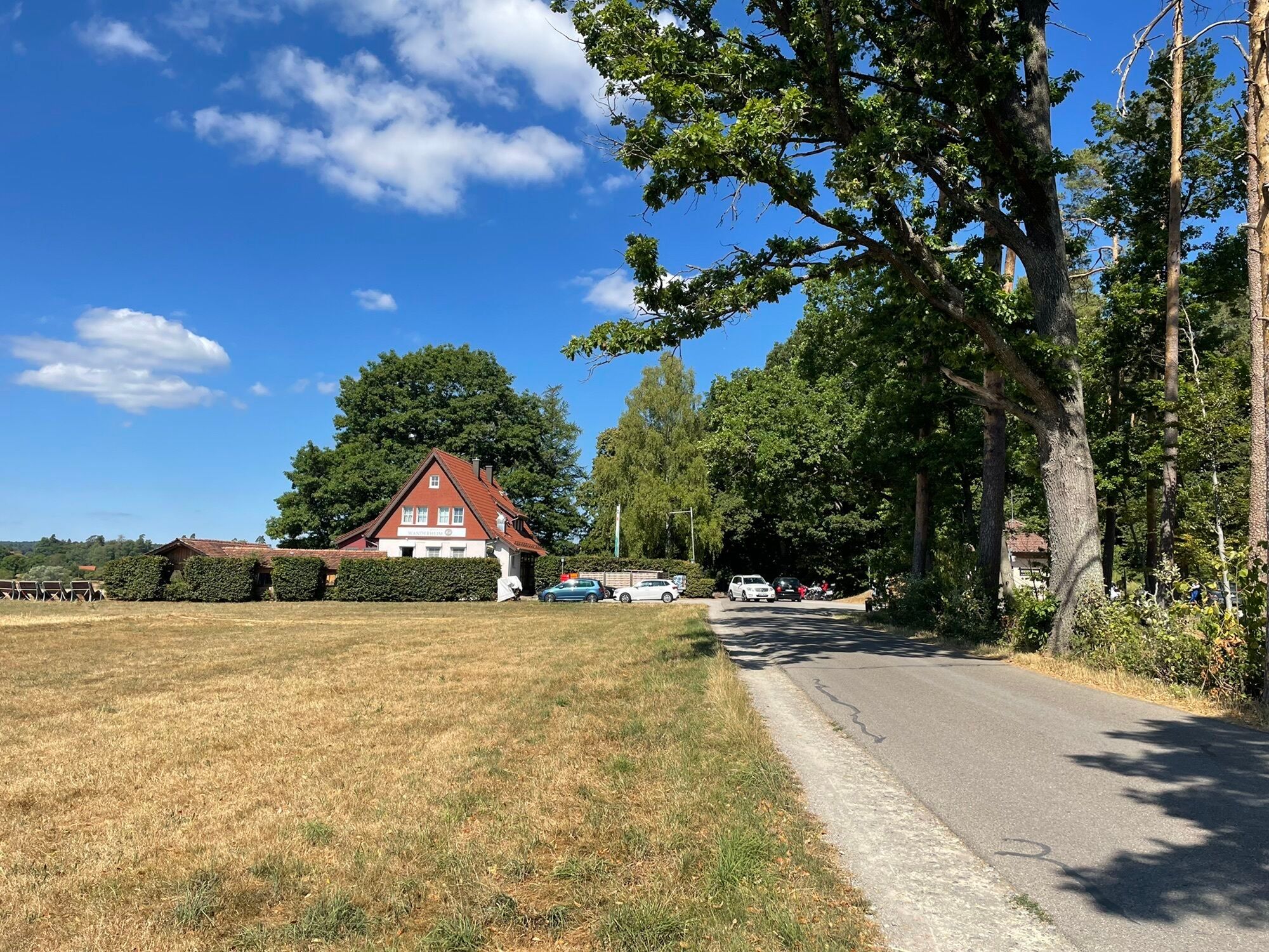
Passing the cemetery, we now go uphill and leave the small town. Our path leads along the unique natural spectacle of the Zavelstein crocus meadows. With well over a million differently colored, wild-growing crocuses, to the forest edge. Here we turn left to the Zavelstein hiking home, where we find a cozy place to rest.
After a well-deserved break, we follow the road towards Rötenbach, enter the forest, and about 600 m later turn right. It is now not far to our starting point, and on the forest path back to AugenBlick Zettelberg, we revel in the fresh memories of a delightful hike.
Tak
Tak
Hiking boots, small backpack provision, and drinks are recommended.
Good footwear
From Karlsruhe: Take the A8 to the Karlsbad exit, continue on L623/L562 to Straubenhardt, then on L339/B294 and B296 to Oberreichenbach, then on L346 to the parking lot at AugenBlick Zettelberg
From Stuttgart: Take the A81 to the Herrenberg exit, continue on B10, then on K1079/K1067/K1075 to Deckenpfronn, then on B296/K4302/B463 to Bad Teinach-Neubulach station, then on K4306/K4307 to Zavelstein, from there on Teinacher Str. and L346 to the parking lot at AugenBlick Zettelberg
Bus line 635 between Calw and Bad Teinach-Zavelstein
Entry options for the route from Rötenbach town center or from Zavelstein
Bus stops: Rötenbach Zettelberg, Rötenbach Church, Zavelstein Felsengrund, Zavelstein Feuersee
Arrival by train
Bad Teinach station is located 3 km outside on the Nagold Valley Railway (Kulturbahn) from Pforzheim to Horb. Modern railcars run here at half-hour intervals with connections to the InterRegio network in Pforzheim and the ICE and IC network in Karlsruhe. Good connections to all parts of town are ensured by the bus service to Bad Teinach-Zavelstein and taxi service (Tel. 0 70 53 / 9 69 60). There is no ticket counter at Bad Teinach station. The nearest ticket counter is at Calw station (Calw travel center, Bischofstraße 10, 75365 Calw, telephone 07051 2355, service hours Monday to Friday 08:00 to 18:00).
On the Deutsche Bahn homepage, you can find current travel information and timetable inquiries. Go to homepage
On the electronic timetable information homepage of Baden-Württemberg, you can find bus and train connections in combination with public transport. Go to homepage
Your luggage travels best from door to door with the Bahn courier baggage service. Your suitcase will be picked up at your home and delivered to your holiday accommodation. You purchase your luggage ticket where you buy your ticket. Alternatively, you can send your suitcase as postal luggage via the post.
Arrival by plane
The nearest airport is Stuttgart-Echterdingen (60 km). Continue to the Teinach Valley by S-Bahn and bus or taxi. Information about the airport can be found on the airport homepage. Go to homepage
Various parking or starting options exist for this route.
Viewpoint Zettelberg, Hiking home Zavelstein, Sports field Zavelstein, or Emberg barbecue area.
More hiking adventures await you in the WanderWelten Teinachtal.
For your personal hiking tips in the Northern Black Forest, contact us at
Teinachtal Tourism
Rathausstrasse 5
75385 Bad Teinach-Zavelstein
Email: info@teinachtal.de
Phone: 07053 / 920 50 40
Enjoy the wonderful views of the beautiful nature and a pleasurable visit to the local gastronomy
 Uzyskaj wgląd
Zawsze na żywo z ponad 9 500 kamer internetowych. bergfex Jako użytkownik Pro, możesz teraz zobaczyć odpowiednie kamery internetowe dla wielu wycieczek w aplikacji wycieczki od. Pozwala to na bezpośredni podgląd aktualnych warunków.
Uzyskaj wgląd
Zawsze na żywo z ponad 9 500 kamer internetowych. bergfex Jako użytkownik Pro, możesz teraz zobaczyć odpowiednie kamery internetowe dla wielu wycieczek w aplikacji wycieczki od. Pozwala to na bezpośredni podgląd aktualnych warunków.

Popularne wycieczki w okolicy
-
4,6
Hiking through the Monbach Gorge in search of the kingfisher
średniWędrówka 10,5 km -
5,0
Wild romantic Monbach Valley
światłoWędrówka 6,25 km -
4,9
Der Teinacher (Premiumweg & Genießerpfad)
średniWędrówka 12,0 km -
4,0
Wolfsschlucht and Fox Gorge
średniWędrówka 9,74 km -
4,2
Kaltenbronn Circular Route No. 1 - Wildsee Moor Loop
światłoWędrówka 8,30 km -
4,7
Through the wild romantic Schweinbachtal to the Bruderhöhle cave
średniWędrówka 13,8 km -
5,0
Water, Woods and Meadowtrail / Zavelstein > Calw (Premium trail & Genussweg)
ciężkiWędrówka 14,4 km -
5,0
From Bieselsberg into the wild Monbach valley - dream route on small paths
ciężkiWędrówka 18,0 km -
5,0
Rundwanderweg Sulzkar
średniWędrówka 12,4 km -
5,0
Hike through the idyllic Kälbertal
średniWędrówka 8,01 km
Wędrówki i tropienie


Nie przegap ofert i inspiracji na następne wakacje
Twój adres e-mail została dodana do listy mailingowej.





