


From Bieselsberg into the wild Monbach valley - dream route on small paths

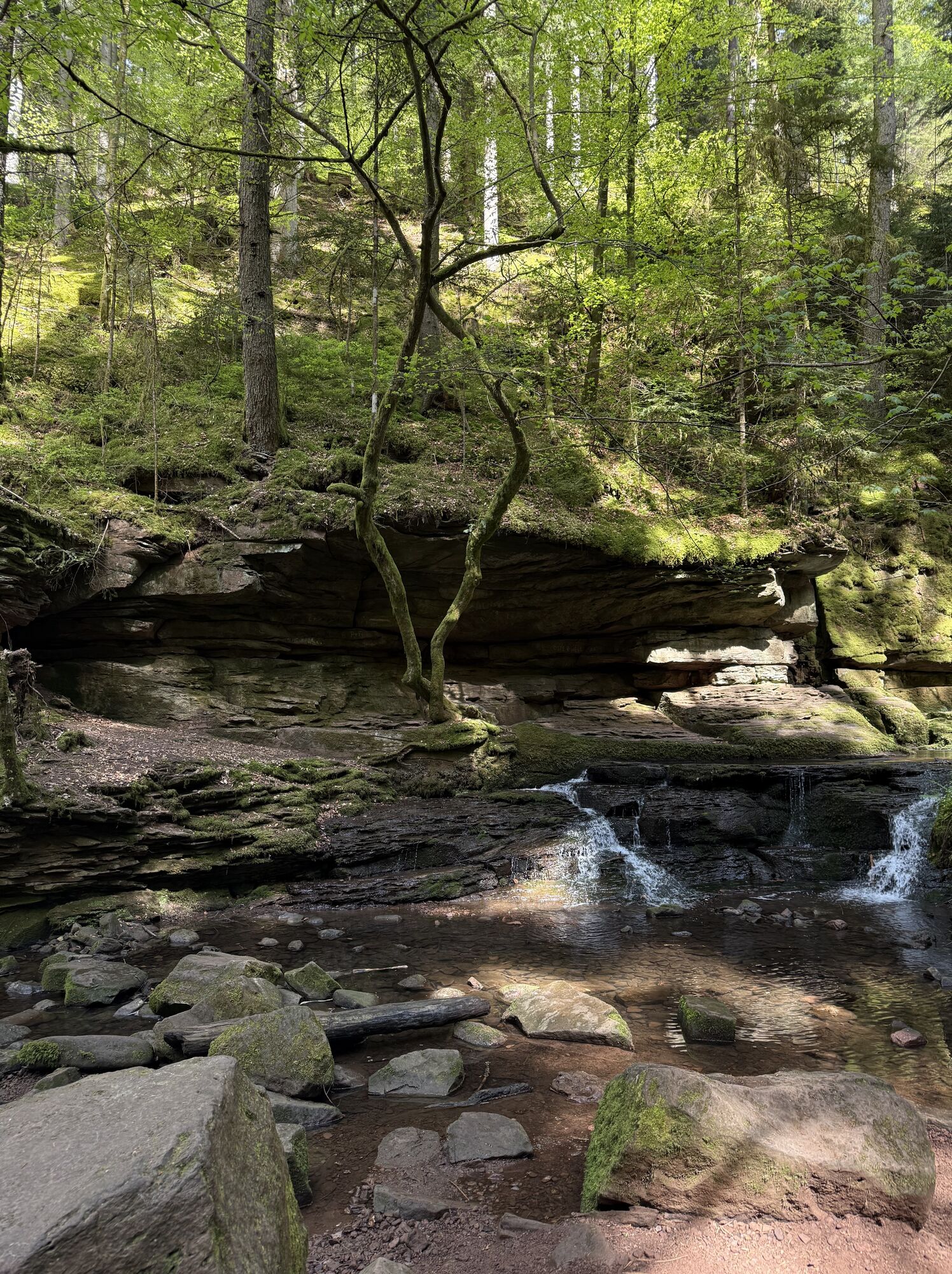
This hike leads through one of the most beautiful valleys in the Northern Black Forest. The paths are almost alpine in parts. Sure-footedness, good soles and some surety against dizziness are required,...
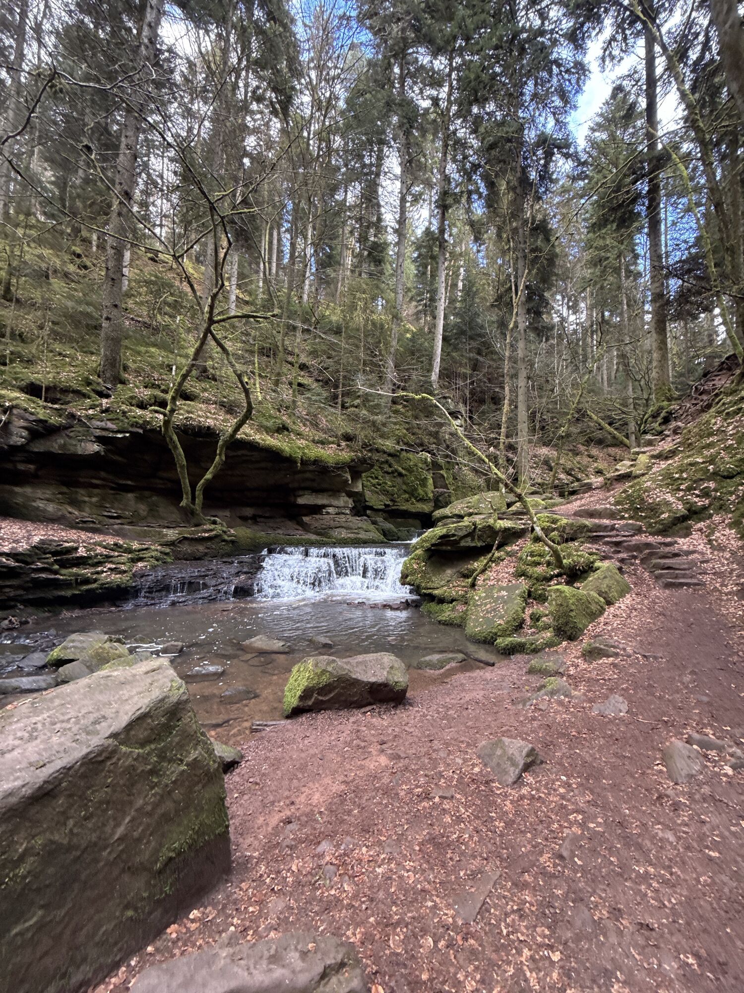
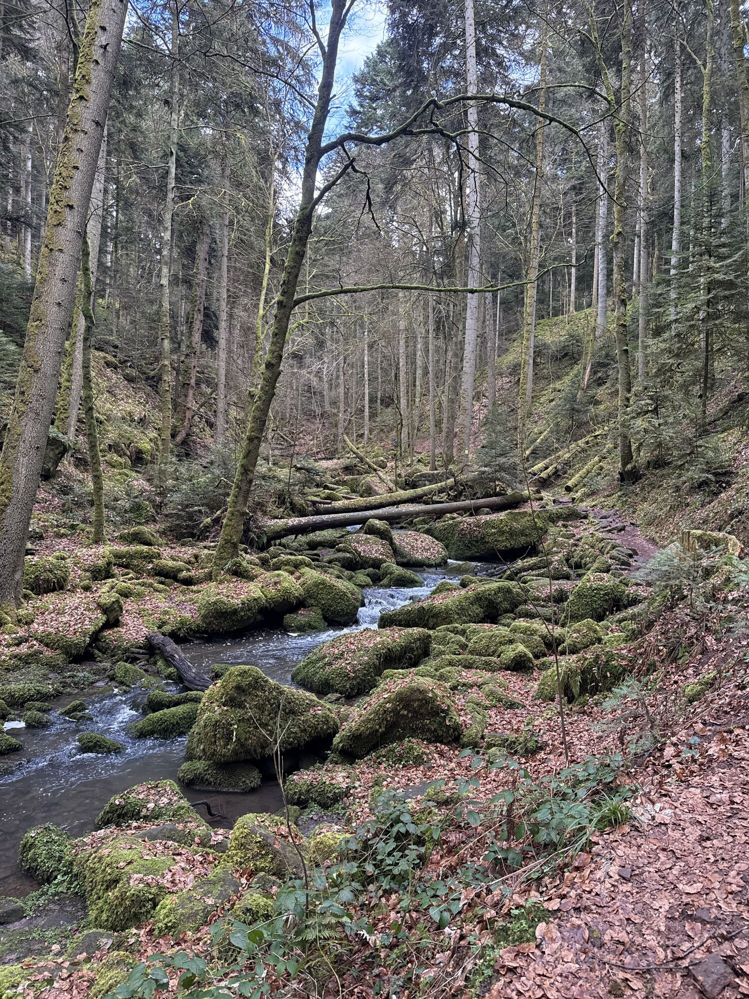
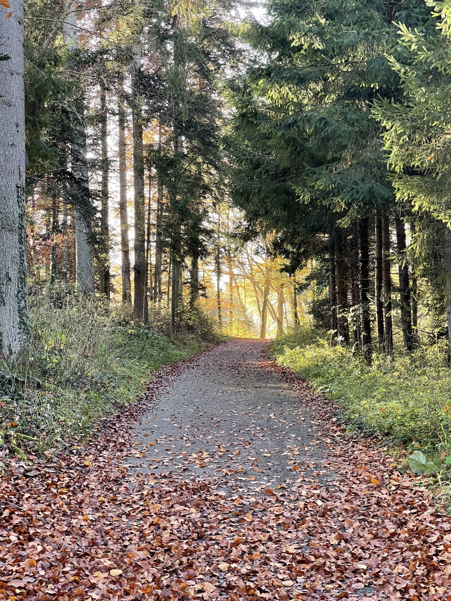
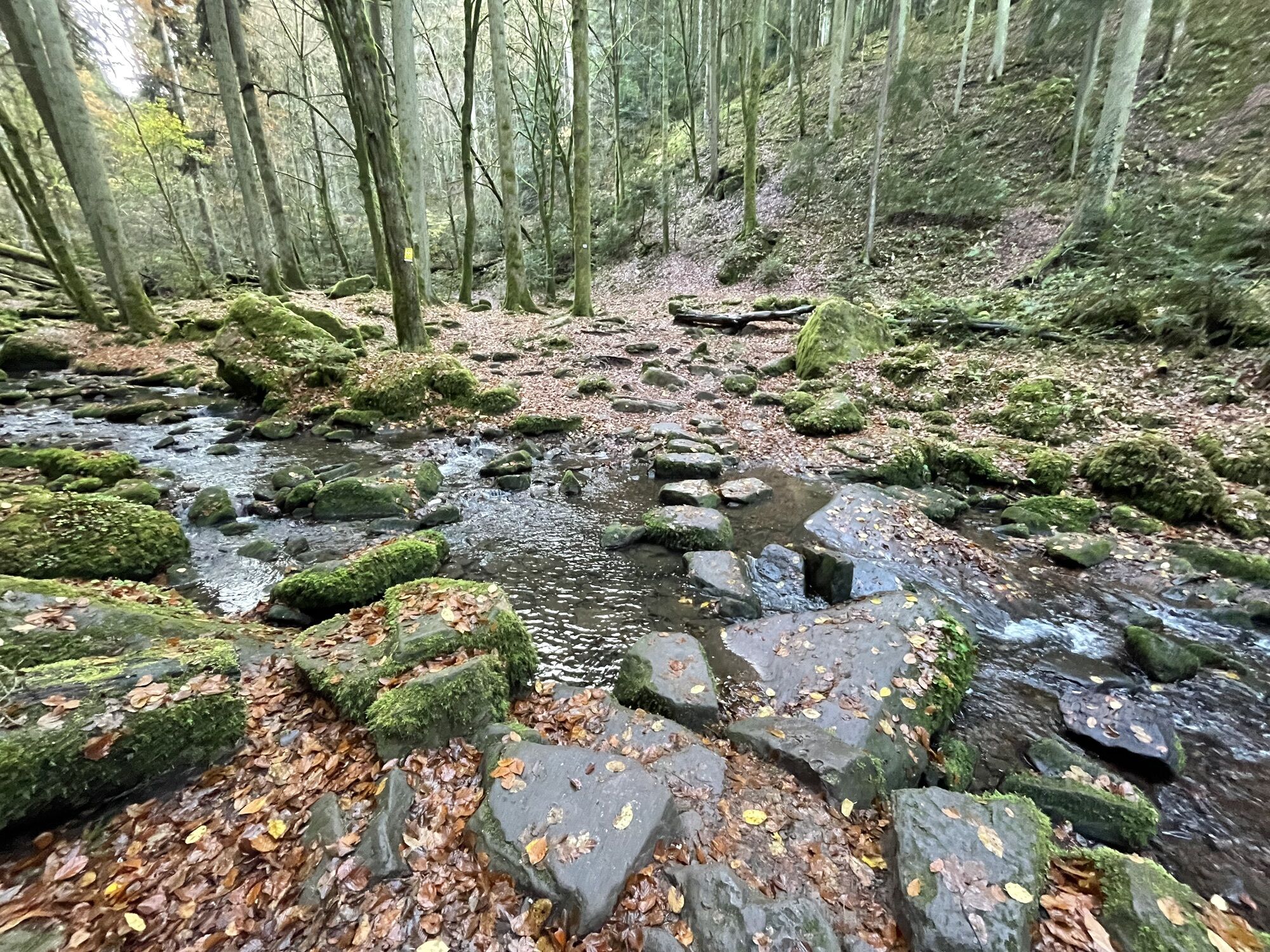
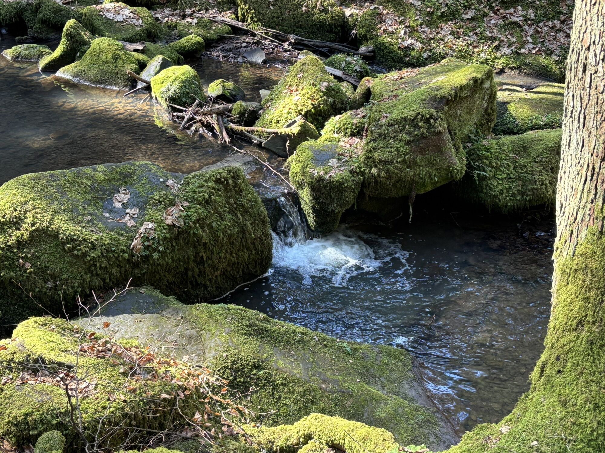
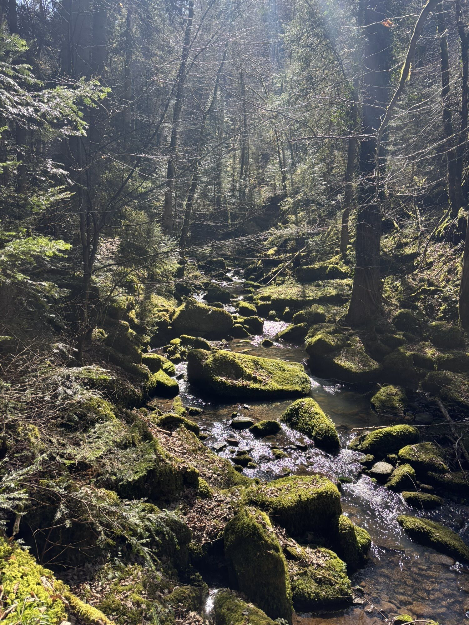
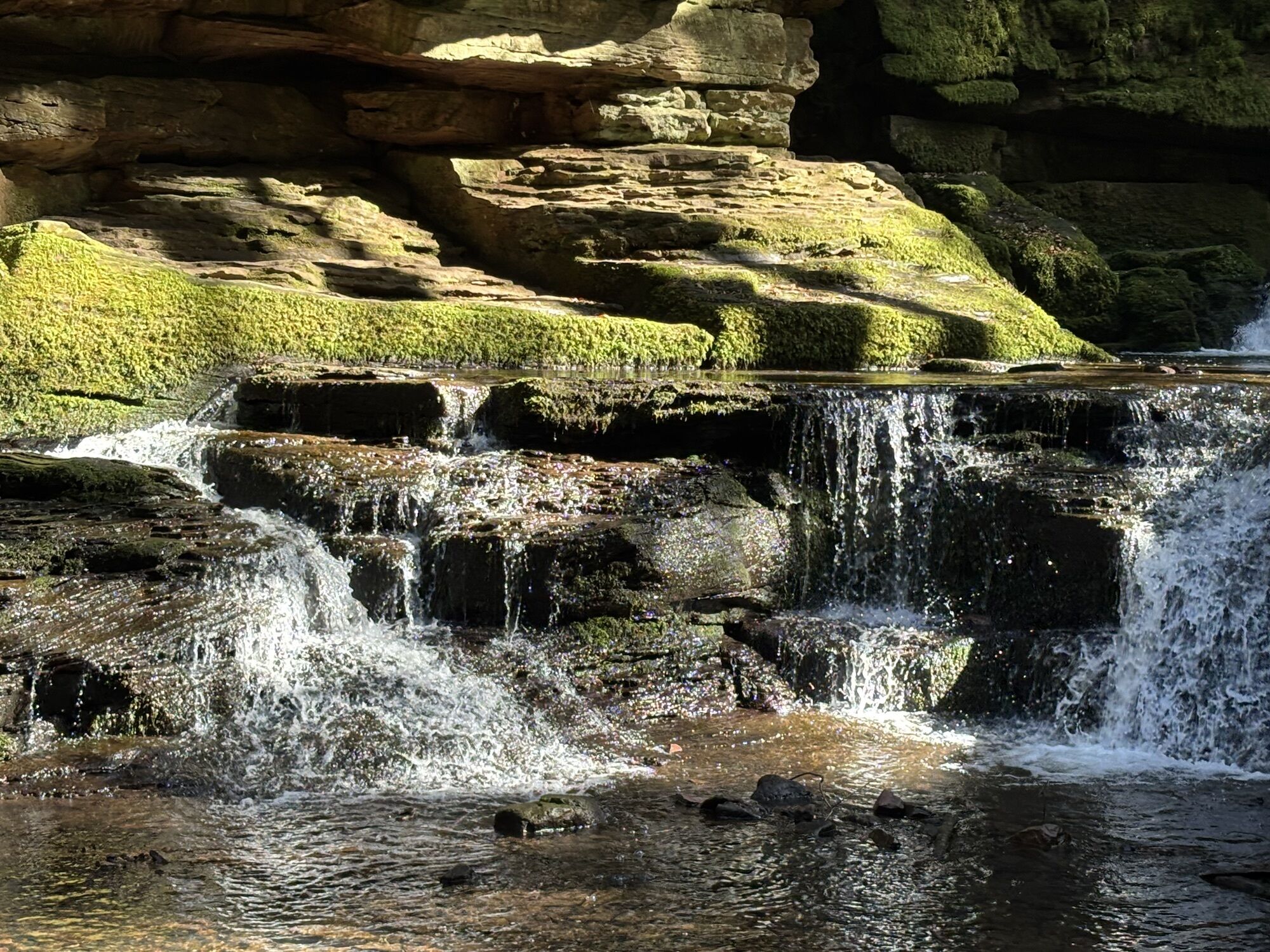
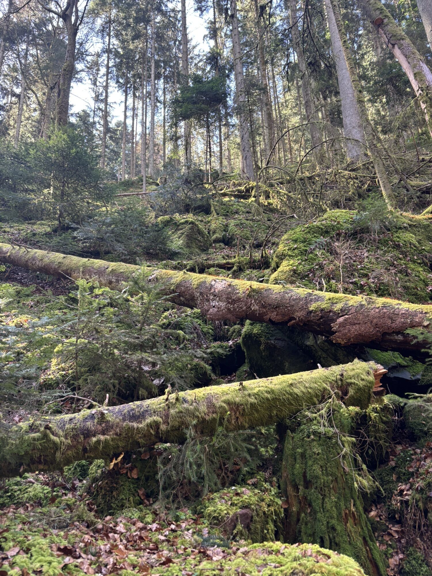
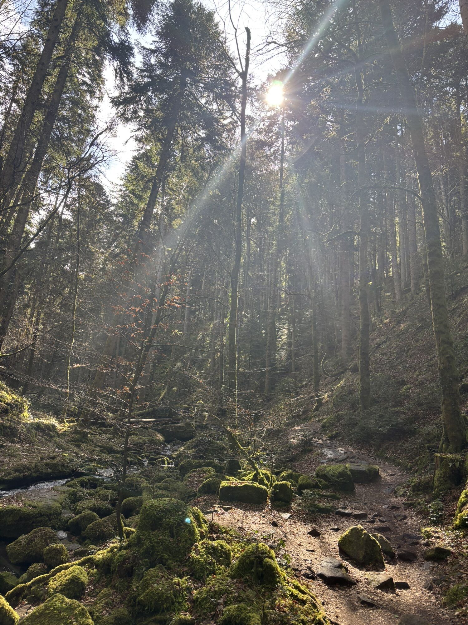
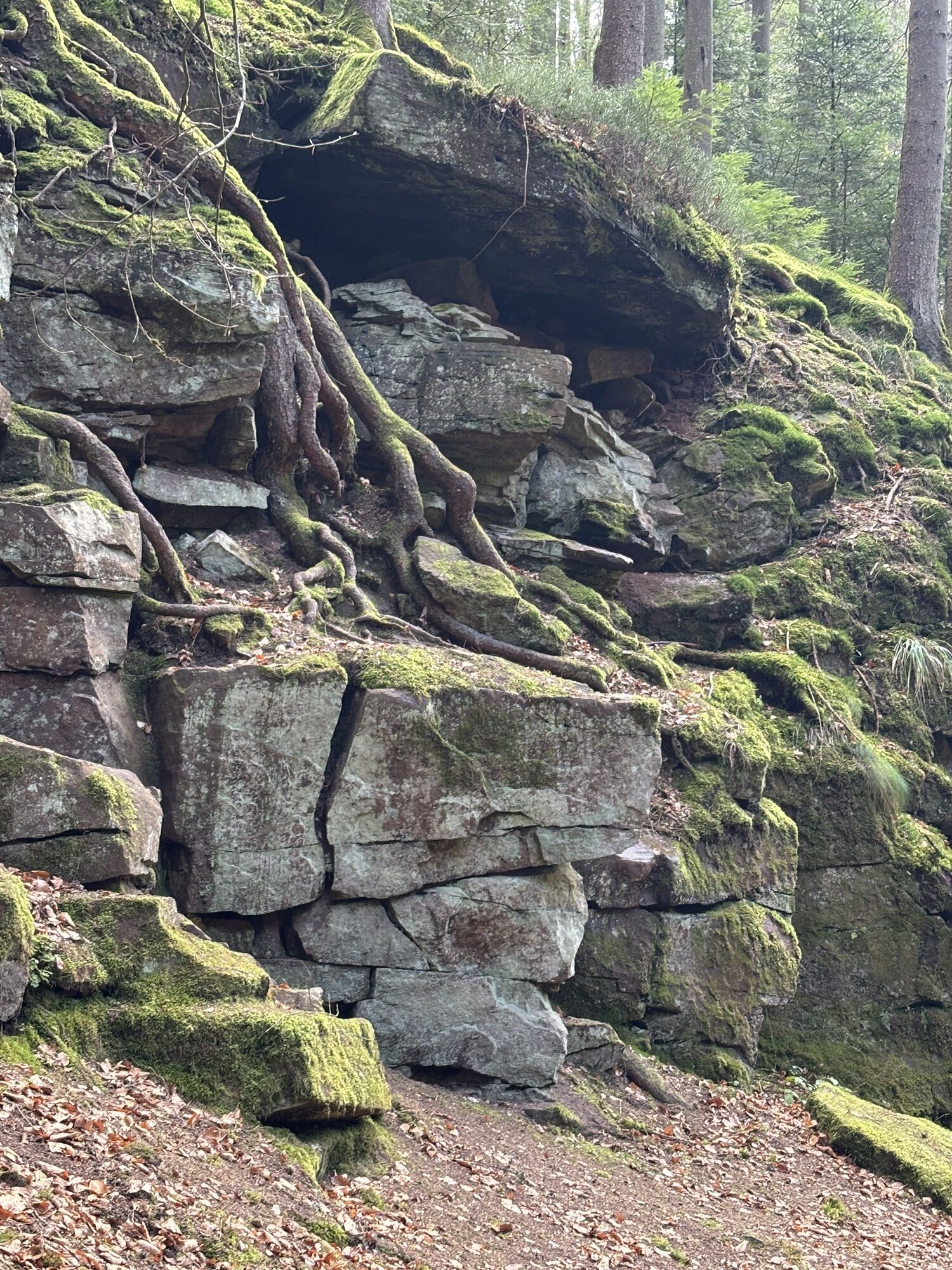
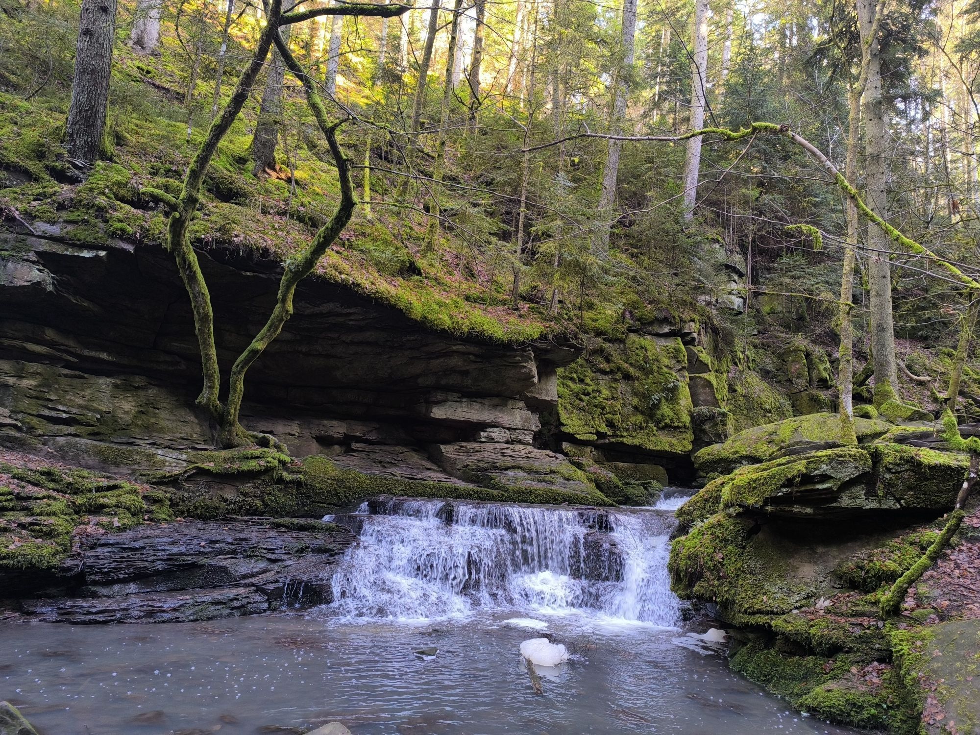
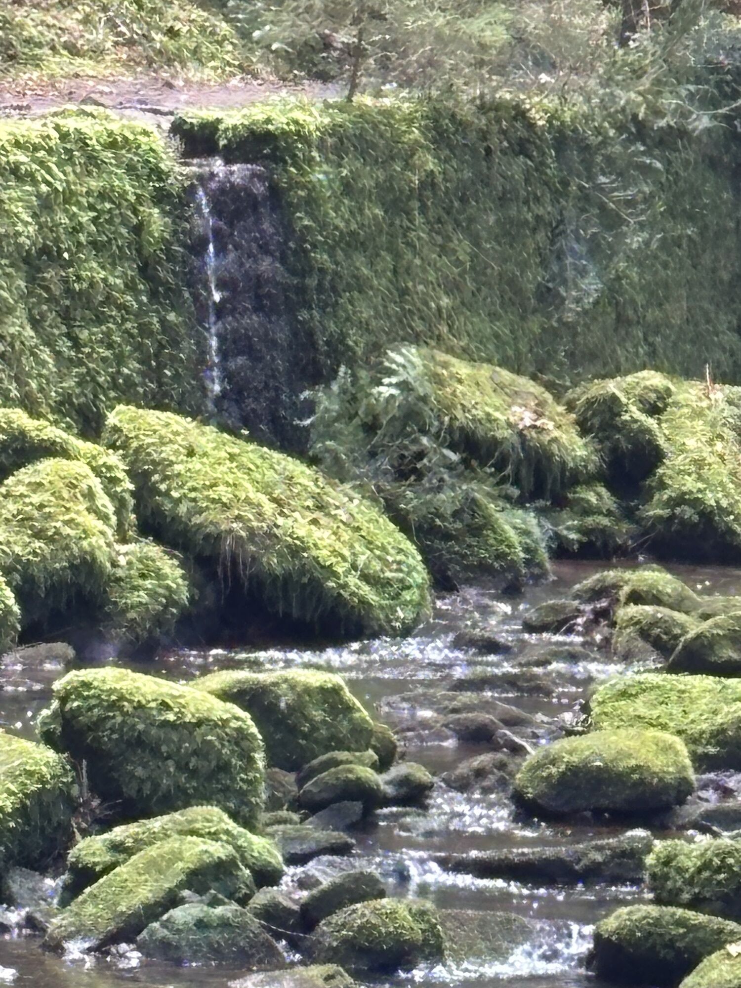
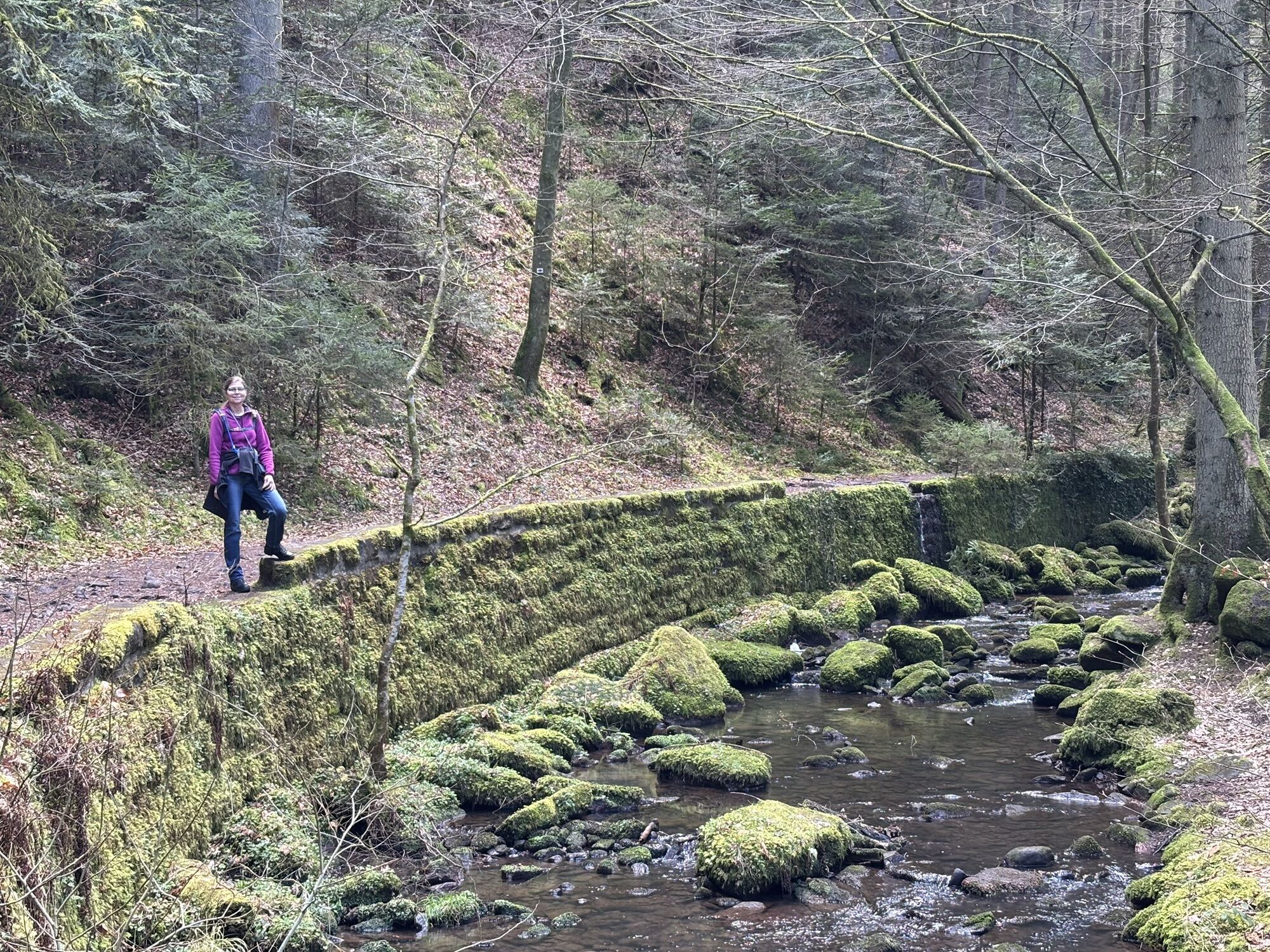
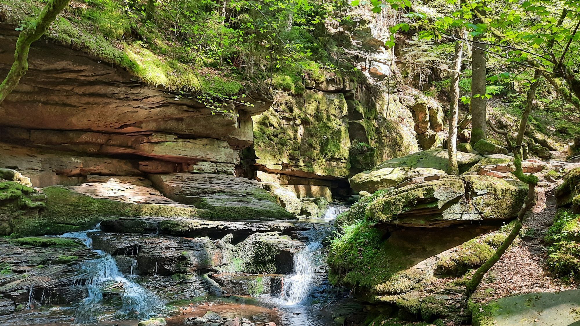
This hike leads through one of the most beautiful valleys in the Northern Black Forest. The paths are almost alpine in parts. Sure-footedness, good soles and some surety against dizziness are required, especially when wet. At high water levels the path through the Monbach Gorge becomes impassable, as it crosses the stream several times on large stepping stones. For families with agile children, especially the steep sections and the Monbach valley are a highlight.
This route is an insider tip from our hiking guide Ortrud Grieb from Bieselsberg. We thank her for this contribution and for providing the photos.
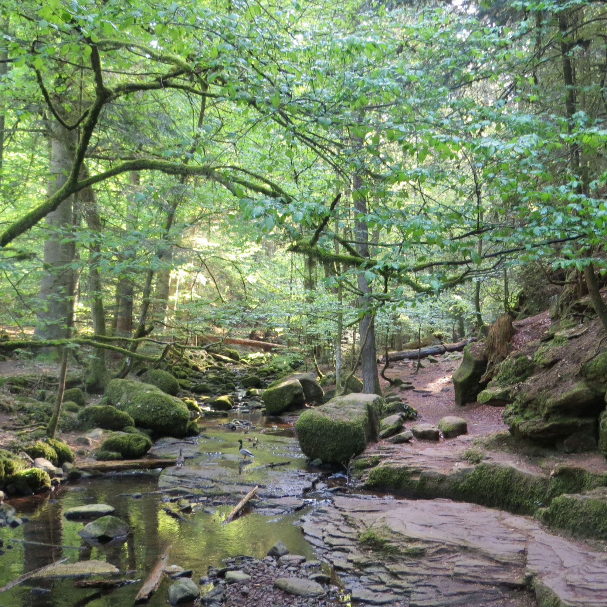

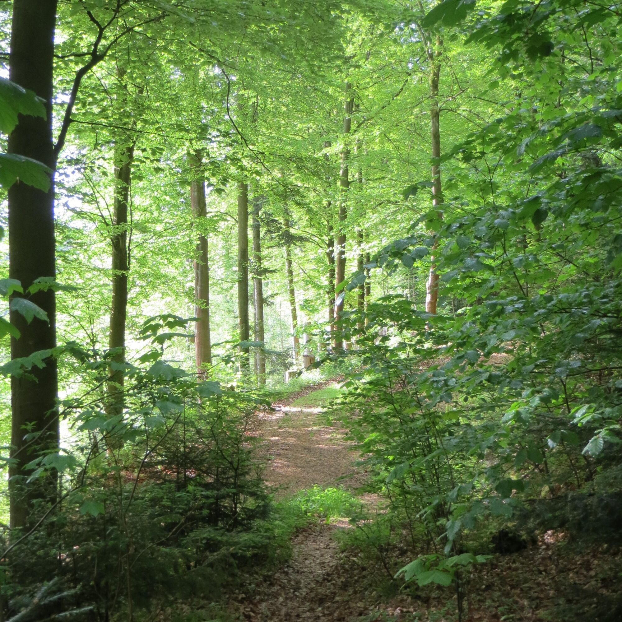
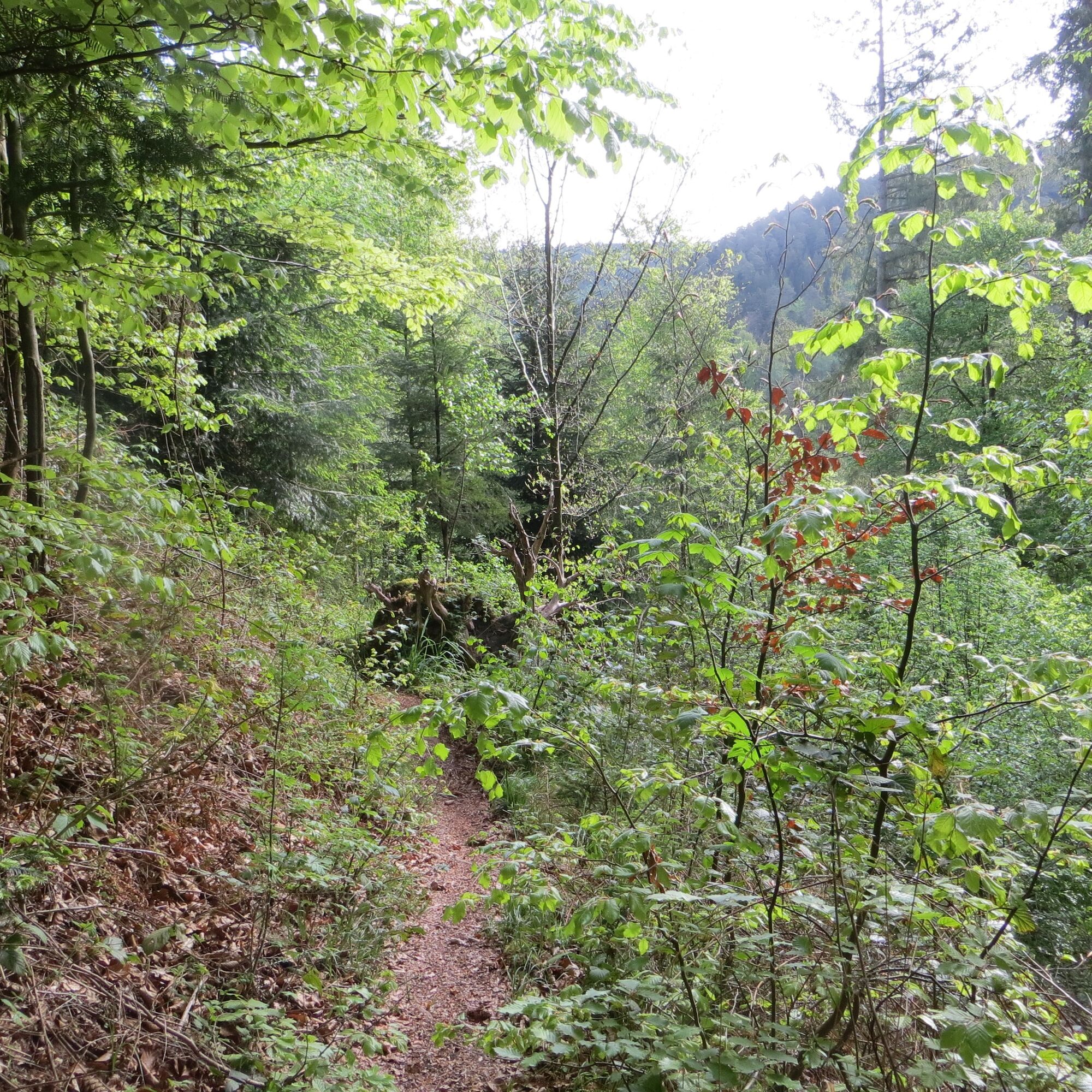
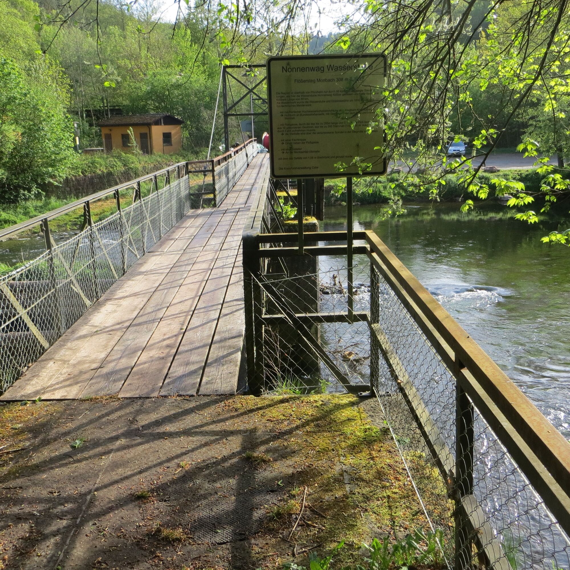
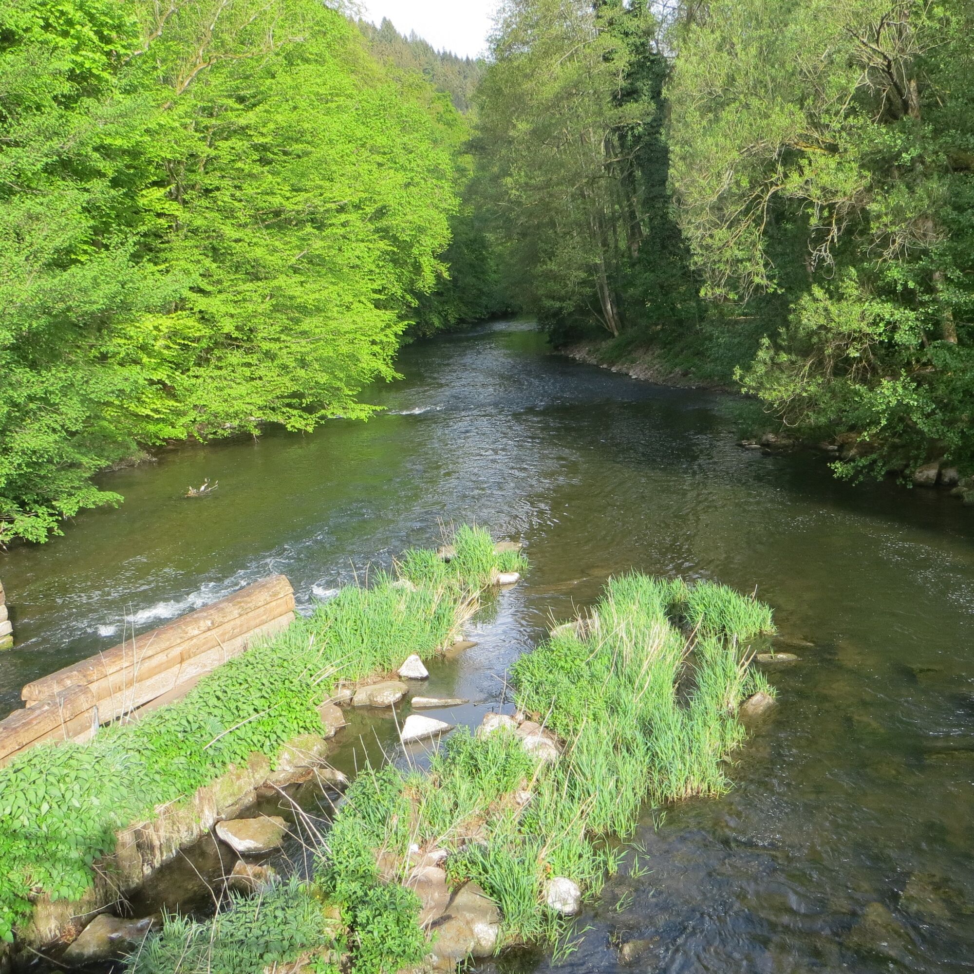
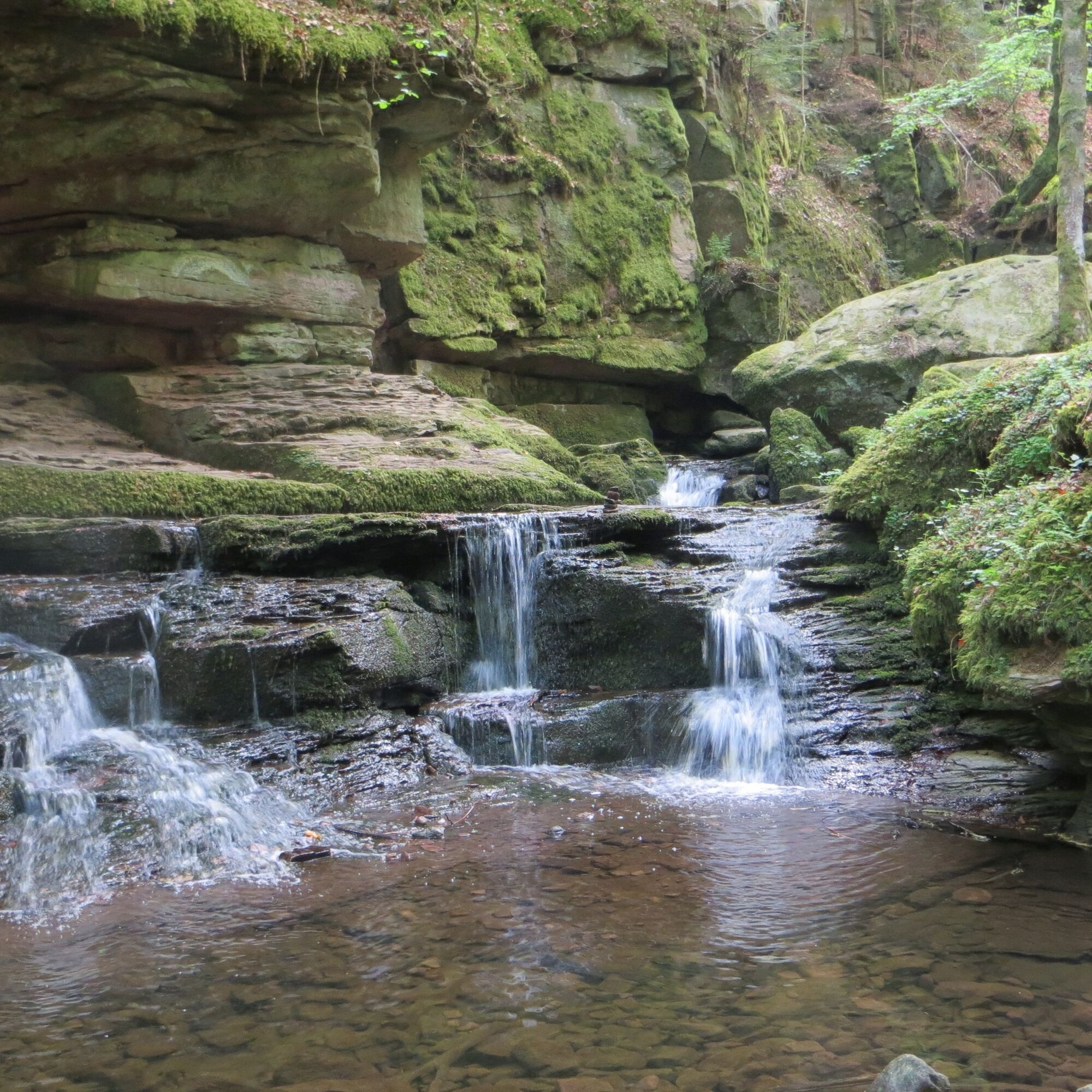
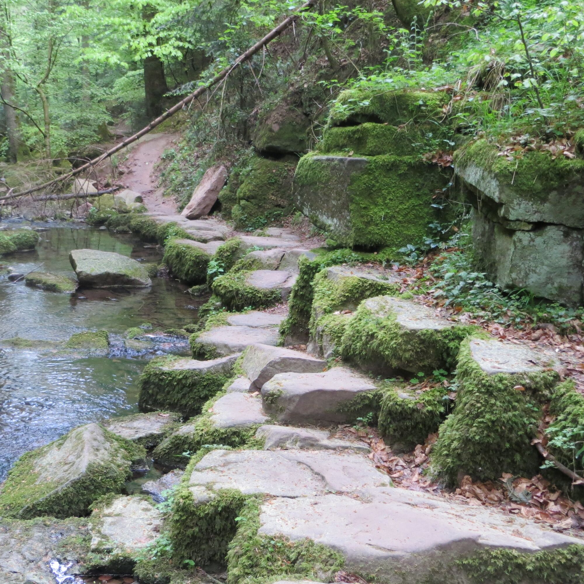

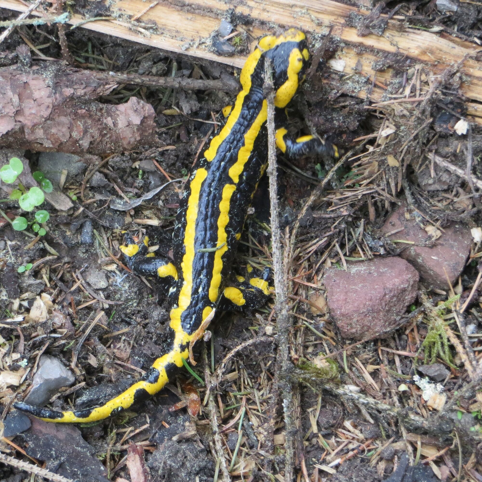
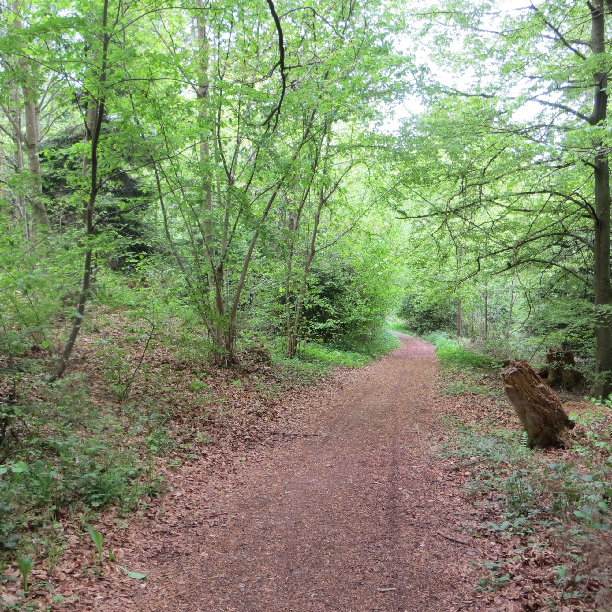
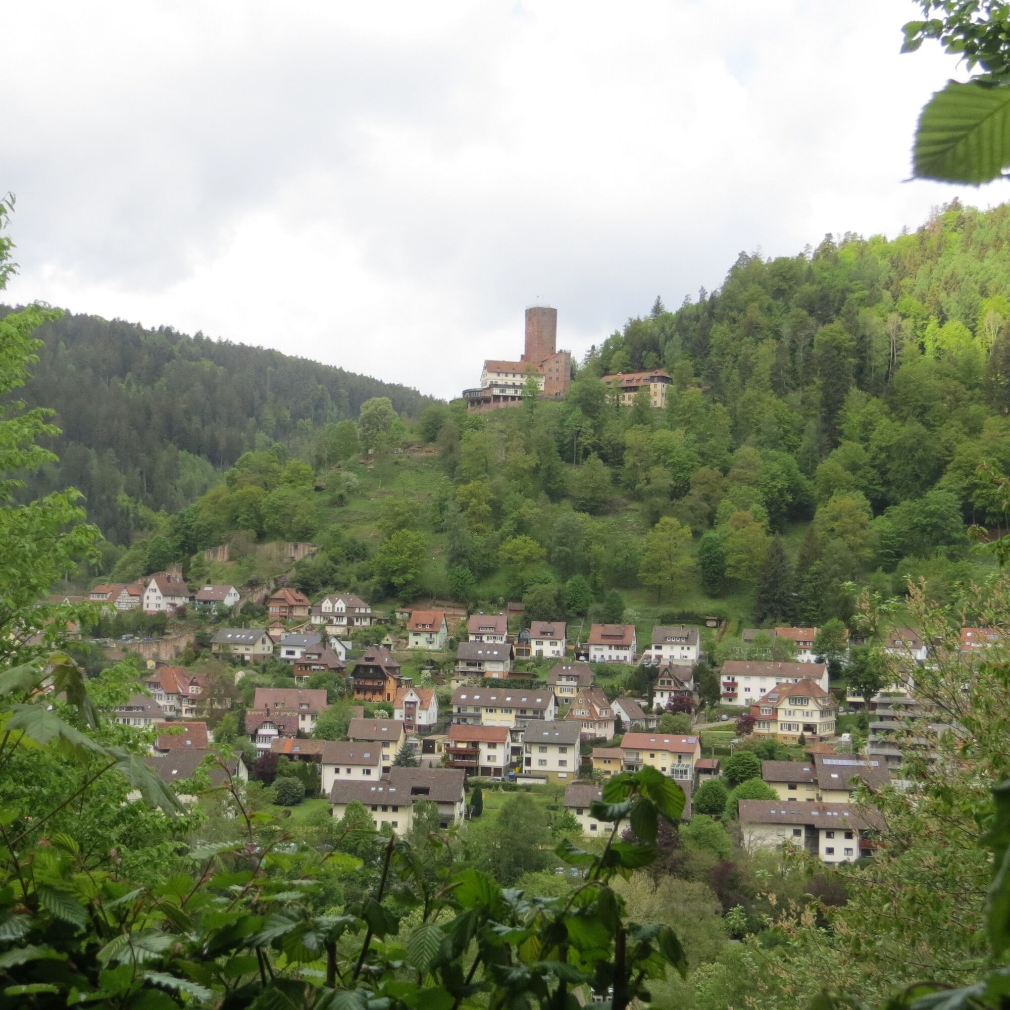
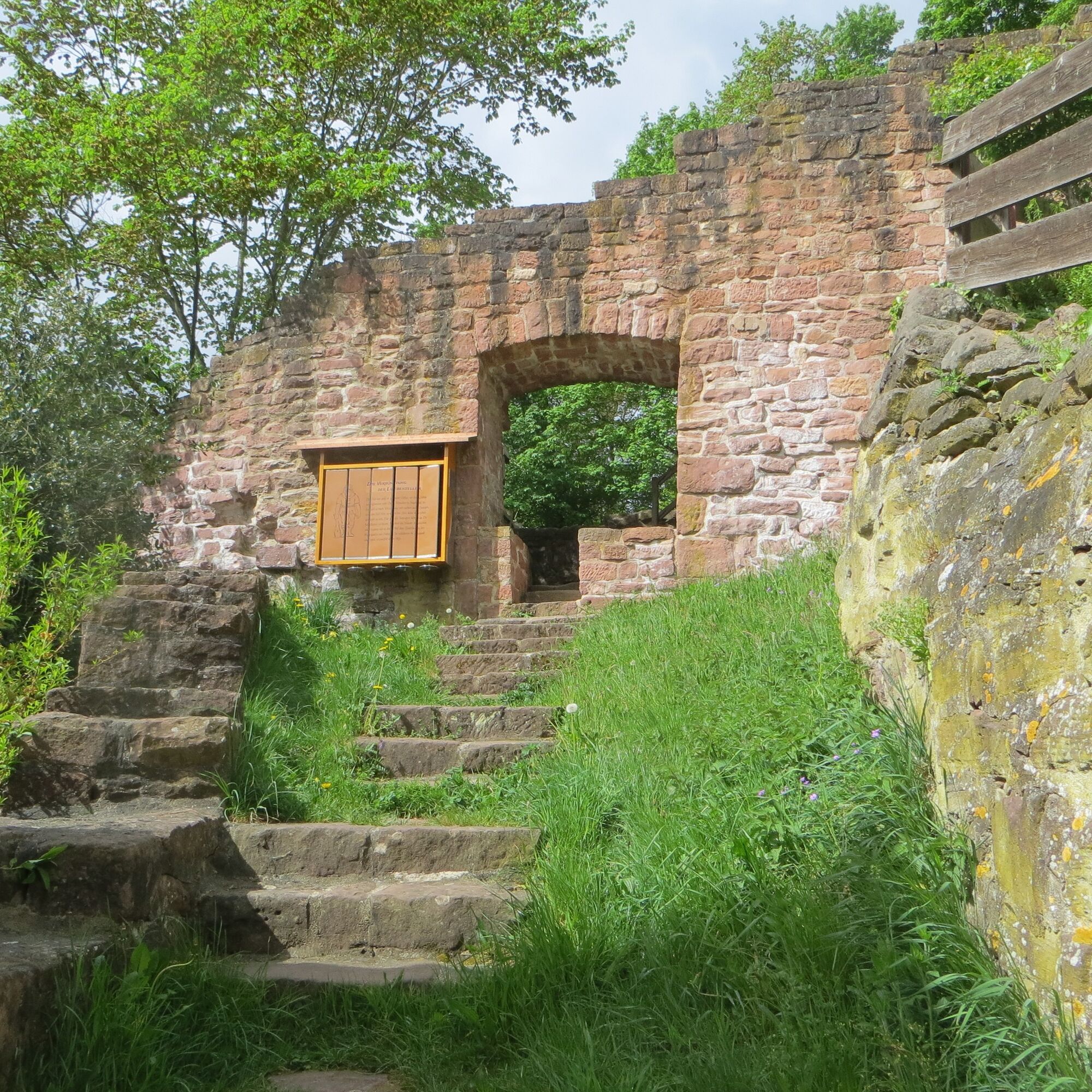
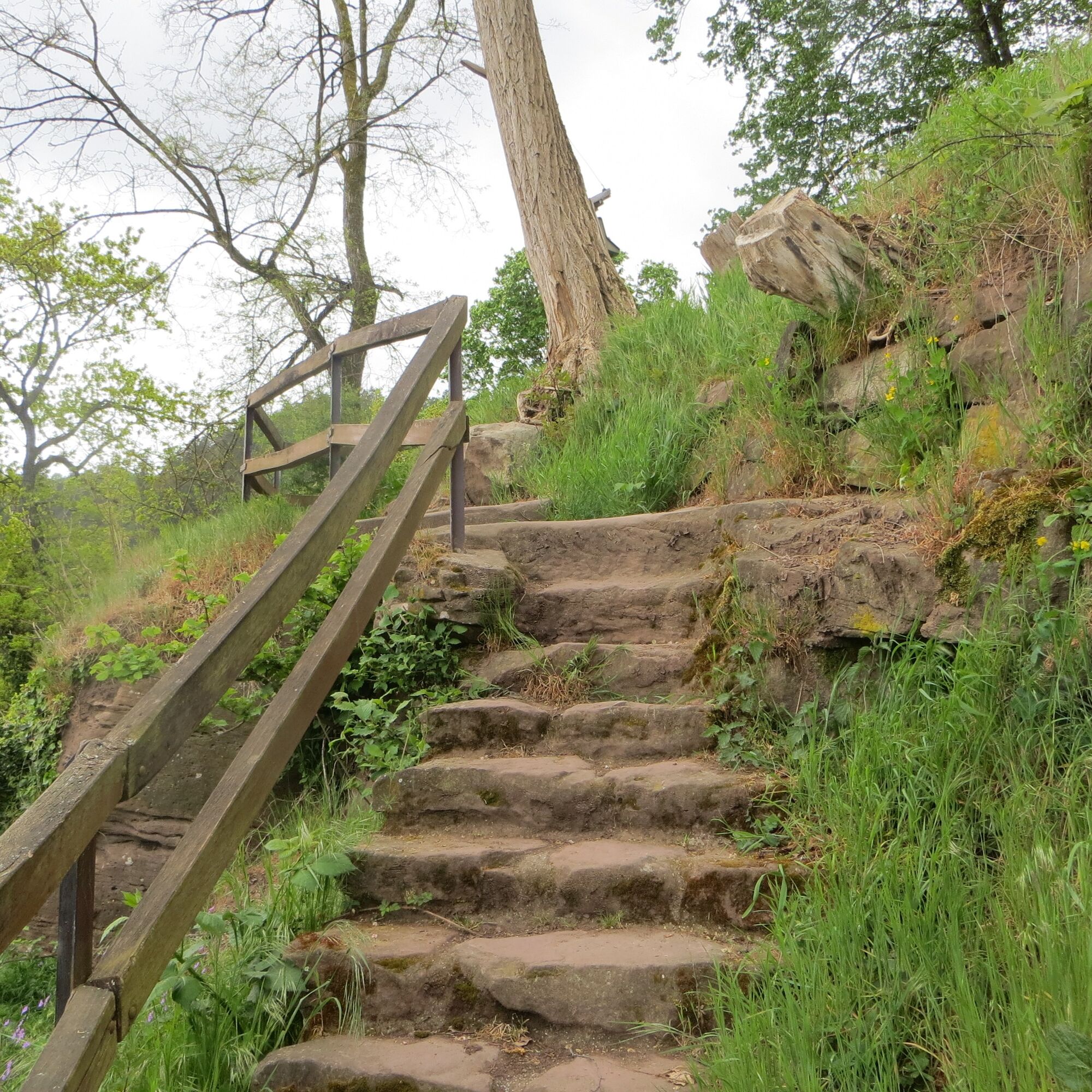
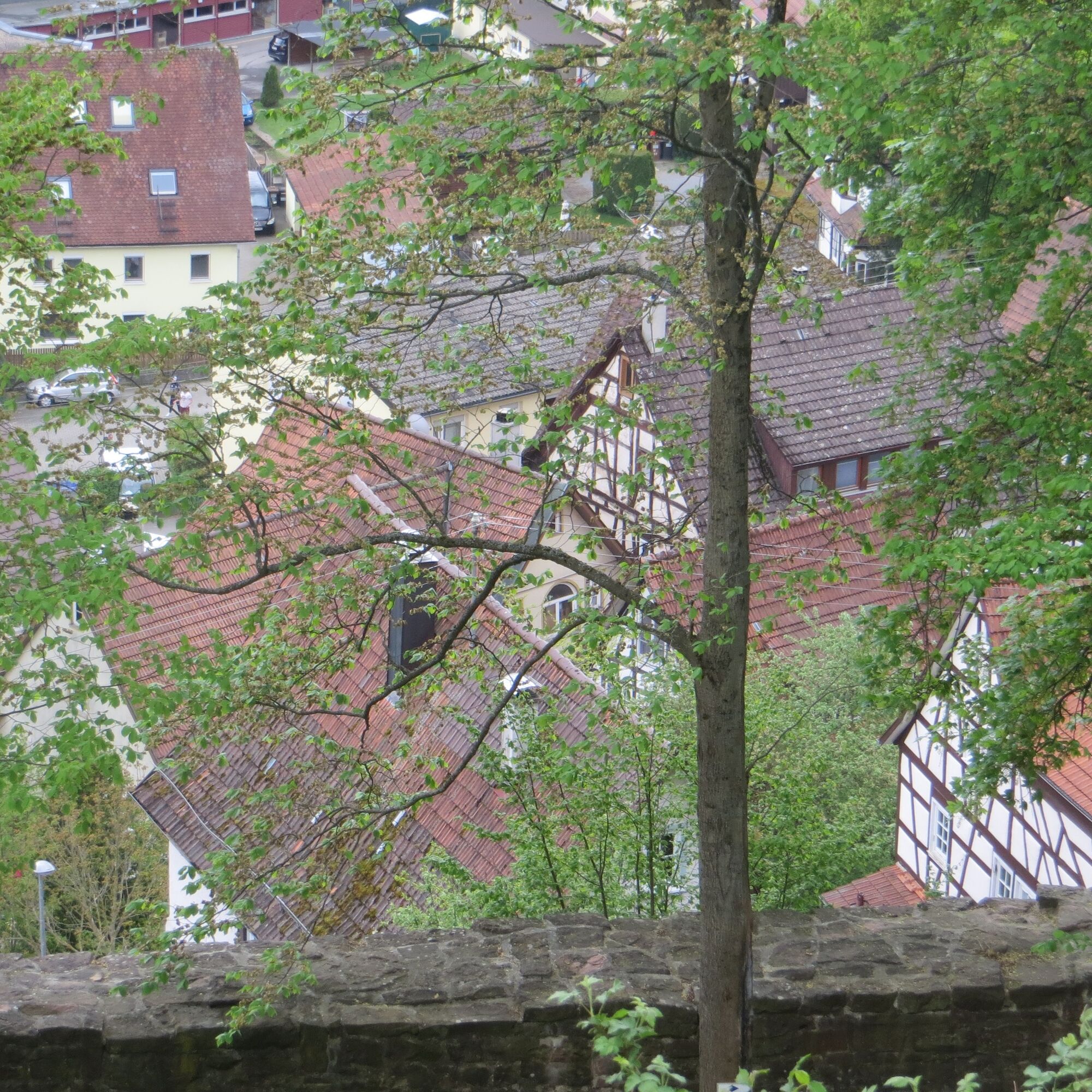
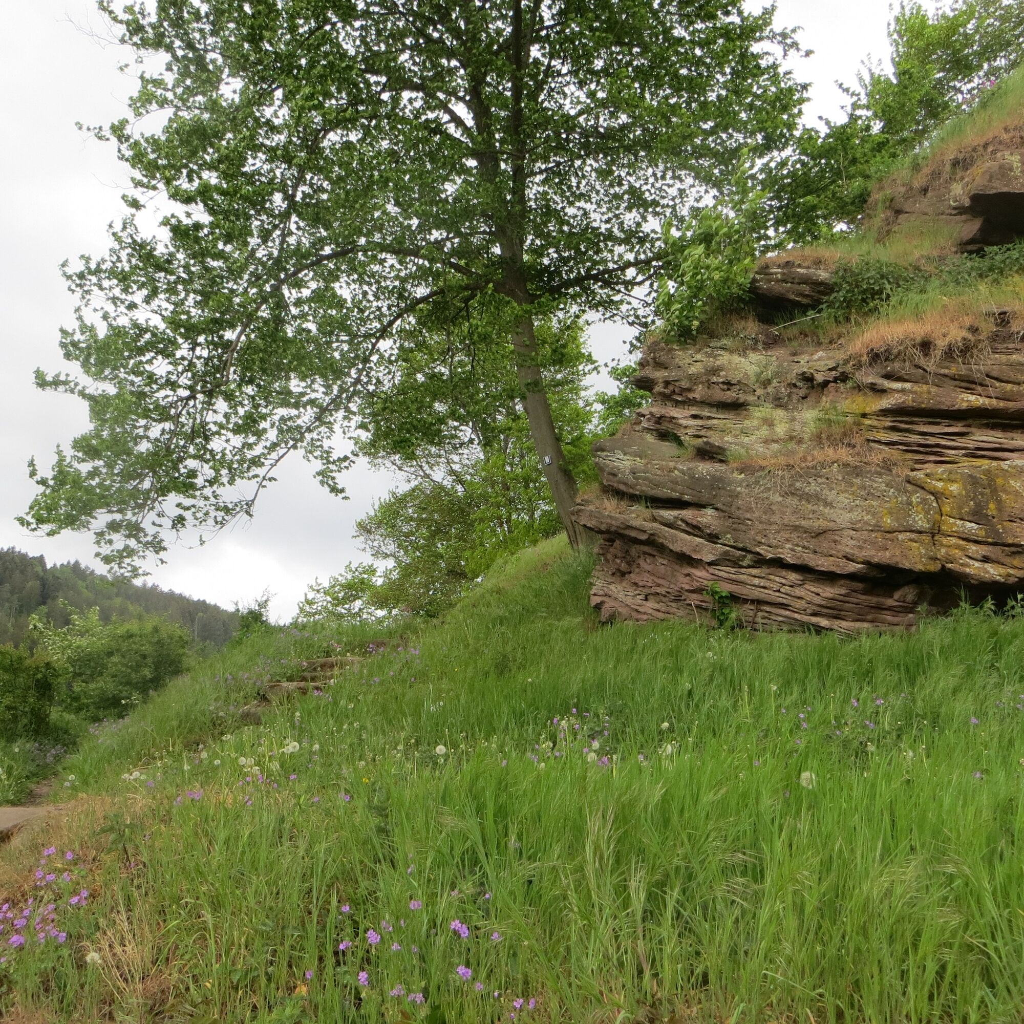
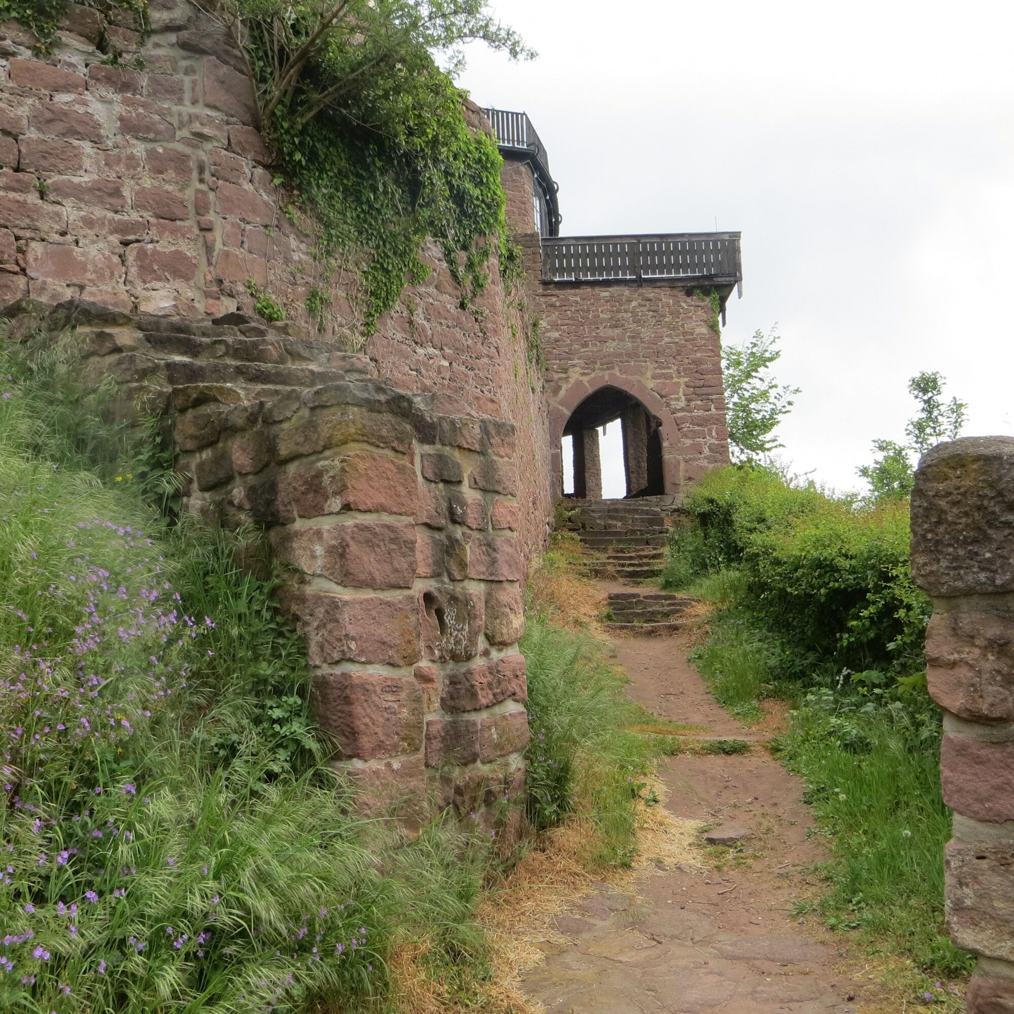
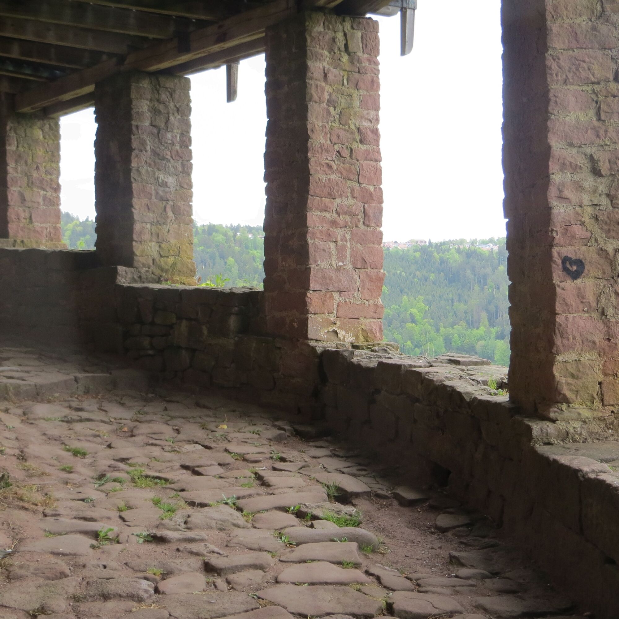

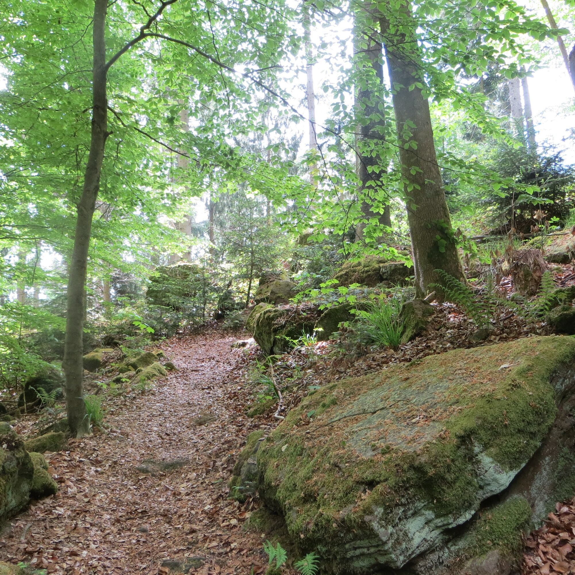
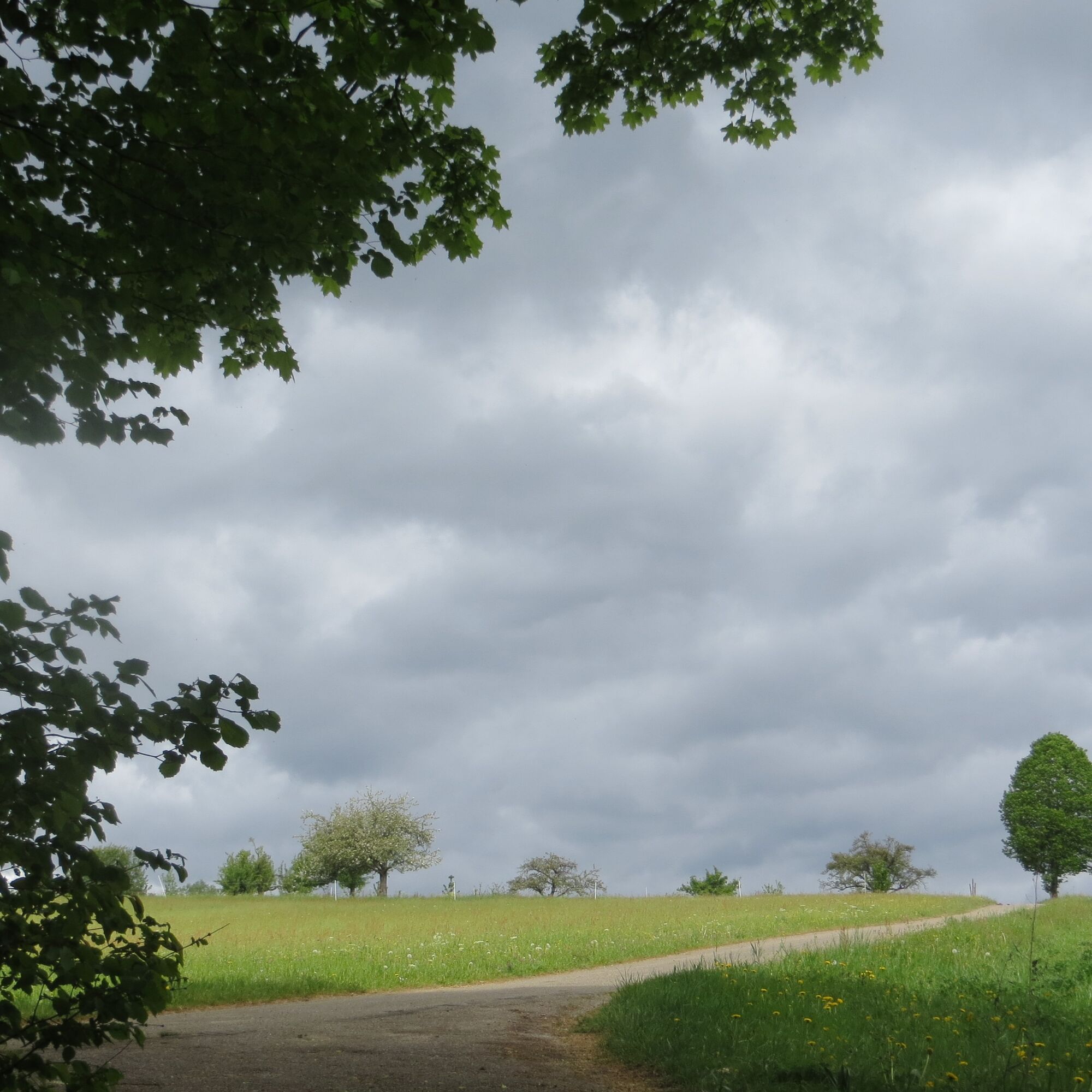
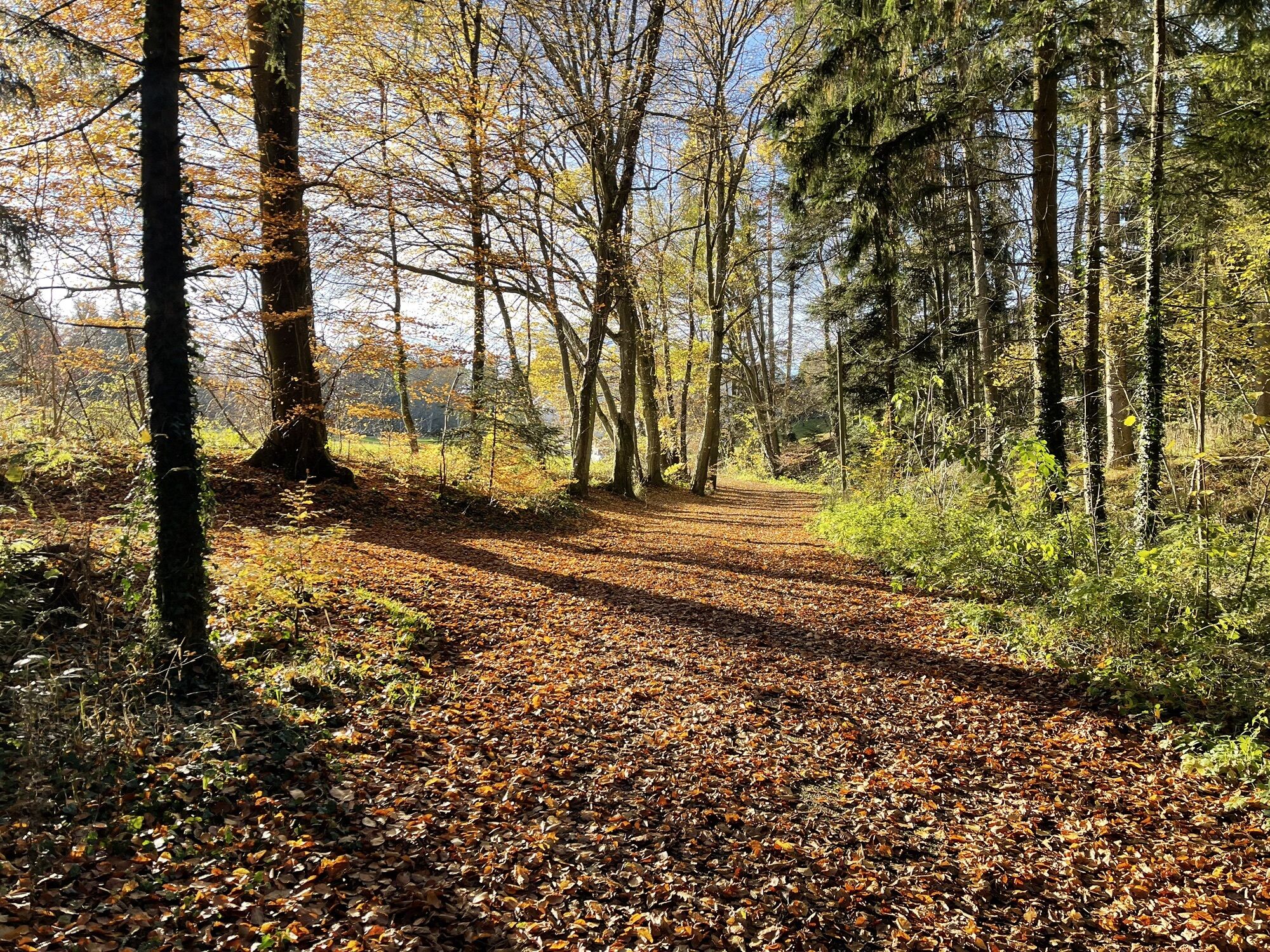
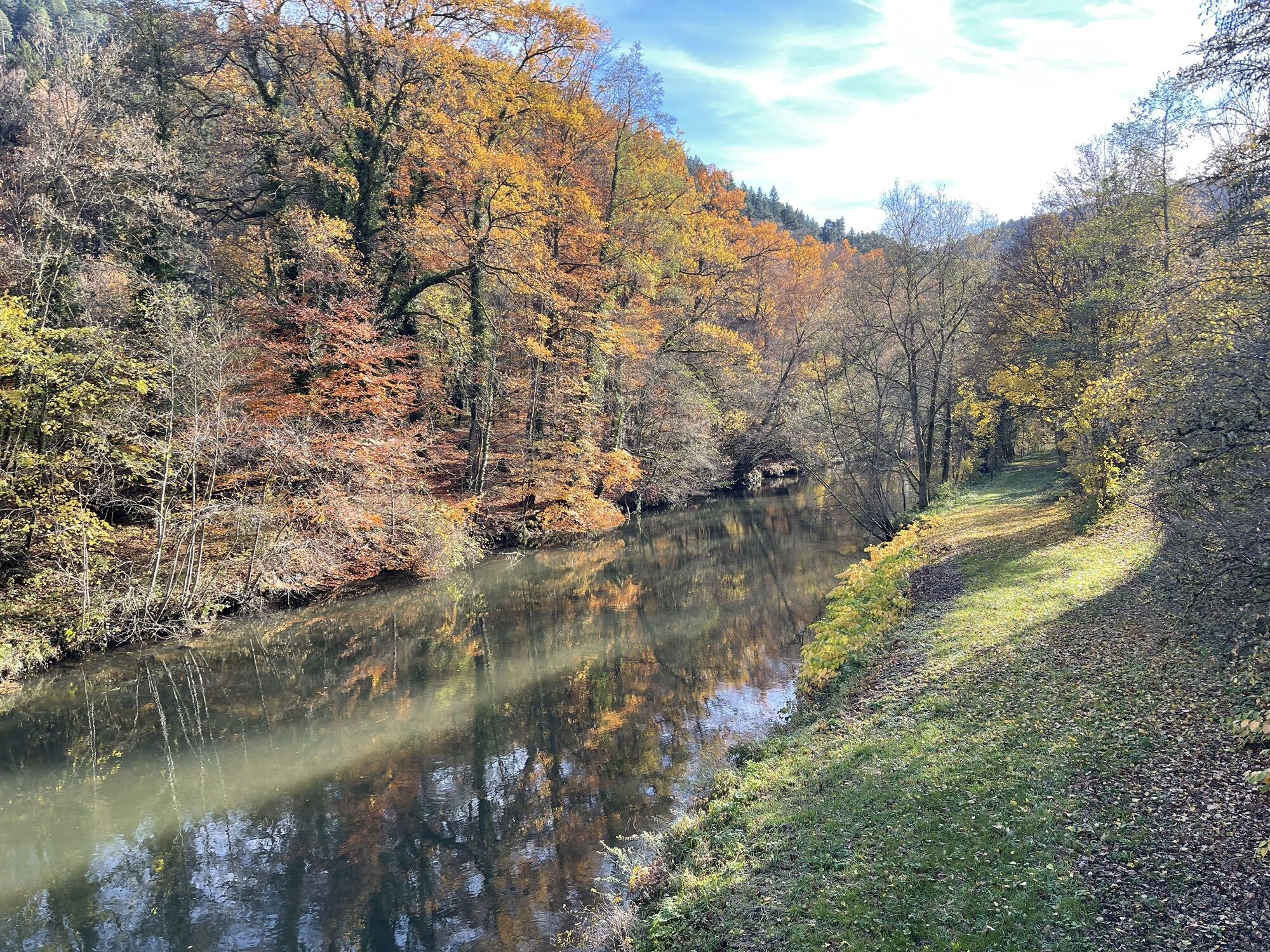
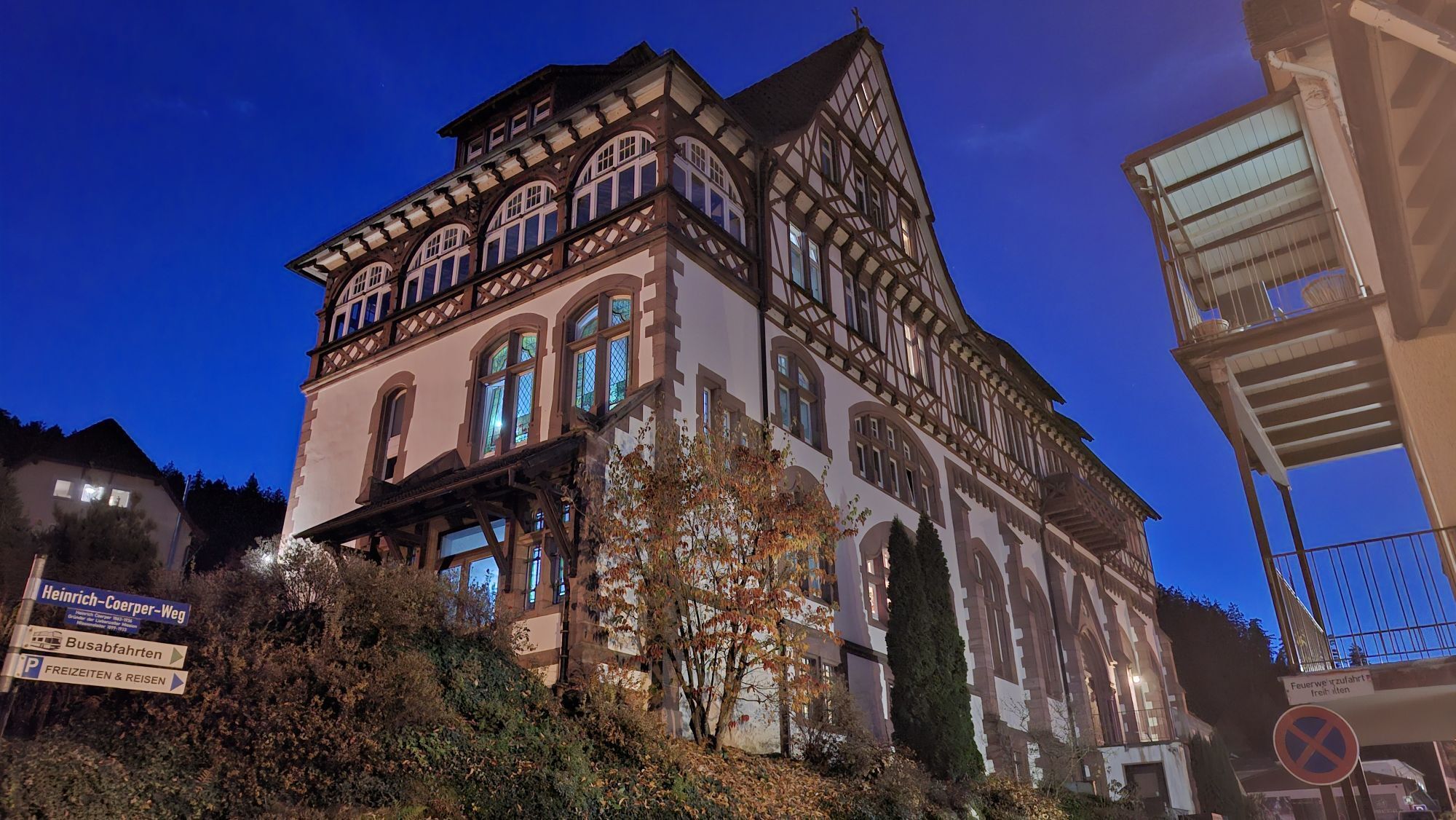
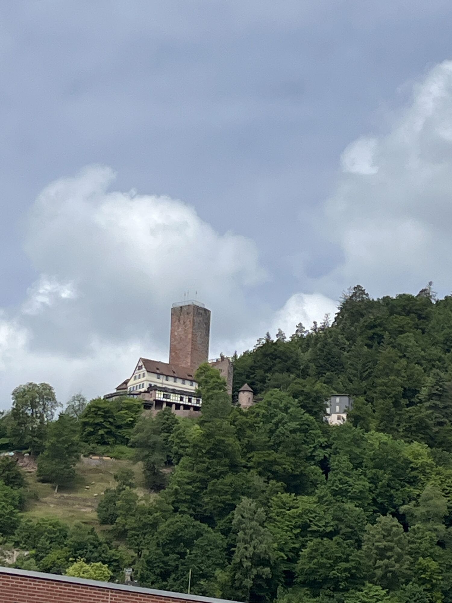
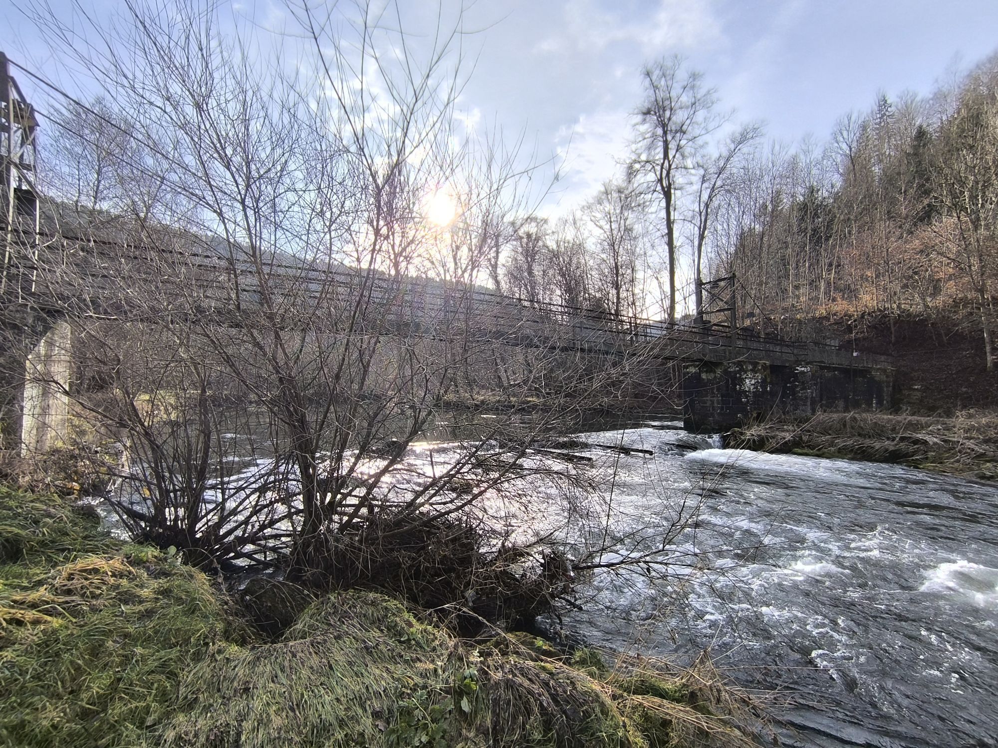
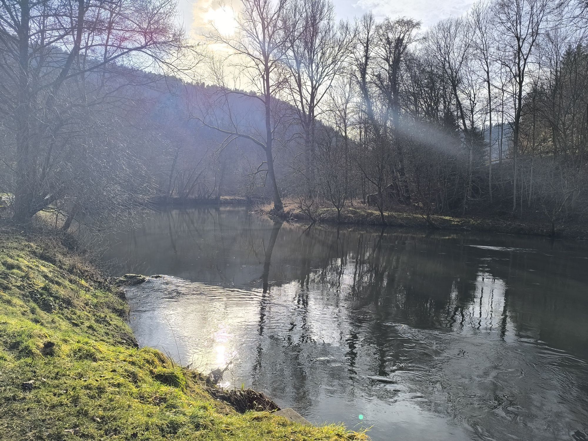
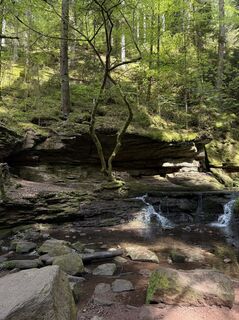
On small paths it goes from Bieselsberg towards the valley, the last stretch on a forest road, over the Nagold bridge to the old raftsman weir. From there we ascend the Monbach Gorge, over tree roots, stone slabs and fir needles. The splendid path through this wild romantic nature reserve repeatedly invites you to linger and marvel. On the other side of the mountain we follow the narrow Monakam church path back down into the valley to Bad Liebenzell, where an ice cream parlor, pizzeria, city wall and castle lie by the wayside, maybe also a few goats. How many steps does the castle tower actually have? We follow the blue lozenge the zigzag path up to just below the castle hill, take the gravel path on the left and walk on small paths up to Unterlengenhardt. At the top at the forest edge we enjoy the wonderful meadow path and the wide view and finally return on lonely paths back to Bieselsberg.
Tak
Sturdy shoes required, hiking poles recommended.
Sure-footedness and some surety against dizziness required. After heavy rainfalls the Monbach Gorge is not passable.
Express bus 743 between Pforzheim, Engelsbrand, Schömberg and Bieselsberg
Dial-a-bus BL2 between Unterreichenbach and Schömberg: Dial-a-buses can be ordered by phone at 07051/96 88 55, via app (VGC-App or bwegt Bus&Train) or online at www.vgc-online.de/fahrplaene-netz/vgc-plus at the latest 60 minutes before departure.
This hike is suitable for summer days. The gorge always provides some cooling, moist air.


Popularne wycieczki w okolicy
- 4,7
Hiking through the Monbach Gorge in search of the kingfisher
średniWędrówka 10,5 km - 5,0
Wild romantic Monbach Valley
światłoWędrówka 6,25 km - 4,0
Wolfsschlucht and Fox Gorge
średniWędrówka 9,74 km - 4,7
Through the wild romantic Schweinbachtal to the Bruderhöhle cave
średniWędrówka 13,8 km - 5,0
Der Teinacher (Premiumweg & Genießerpfad)
średniWędrówka 12,0 km - 5,0
Water, Woods and Meadowtrail / Zavelstein > Calw (Premium trail & Genussweg)
ciężkiWędrówka 14,4 km - 5,0
AugenBlick route Bad Teinach-Zavelstein Zettelberg
ciężkiWędrówka 15,5 km - 4,0
Circular route Hirsau - Oberreichenbach - Schweinbachtal - Hirsau
średniWędrówka 10,2 km - 4,5
Waldeck ruins and the largest water wheel in Europe
średniWędrówka 15,4 km - 4,0
Through the Lengenbach valley to the historic Burg Liebenzell
średniWędrówka 10,9 km
Wędrówki i tropienie


Nie przegap ofert i inspiracji na następne wakacje
Twój adres e-mail została dodana do listy mailingowej.