






Exciting circular hike with beautiful views and culture
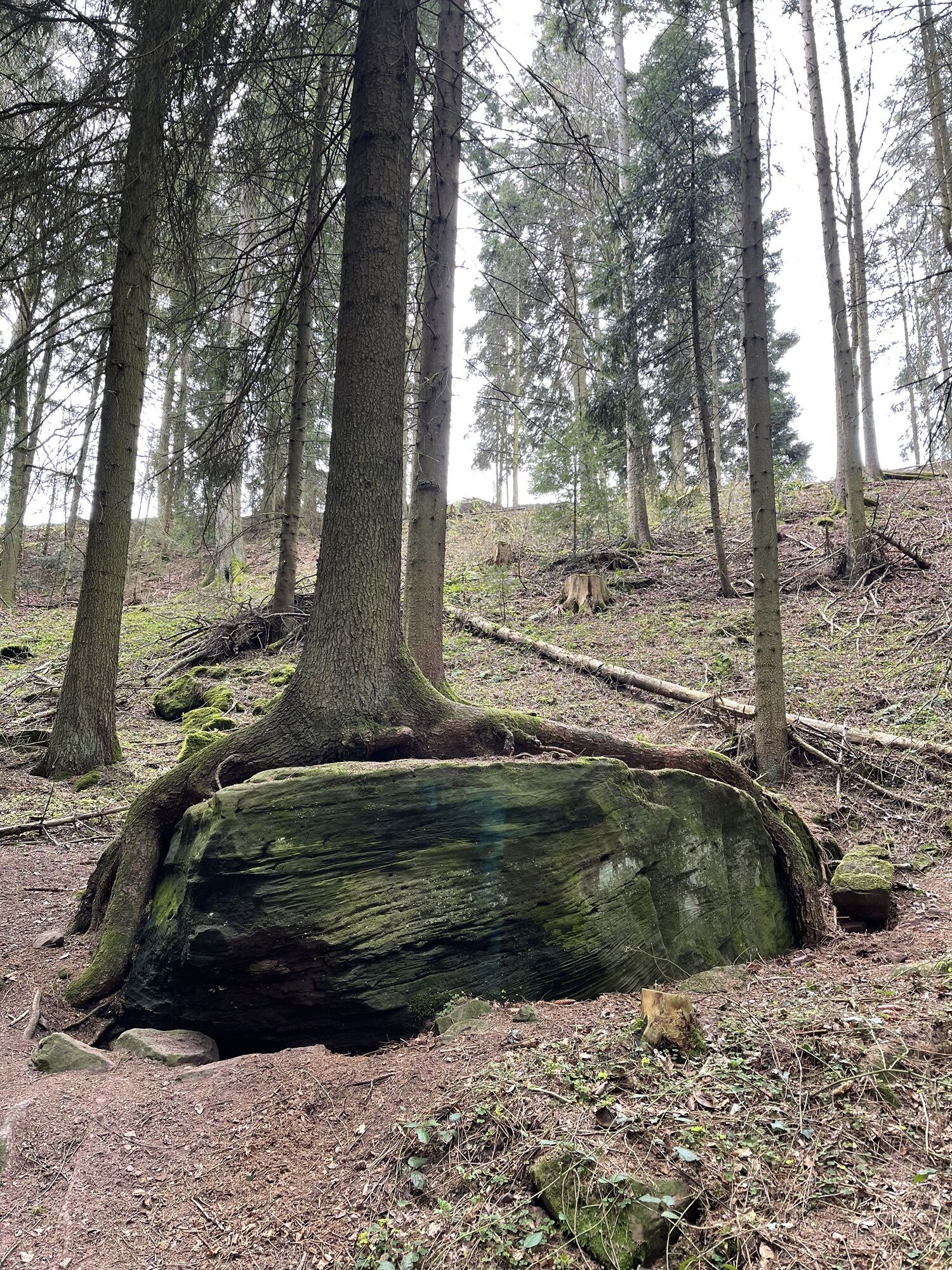
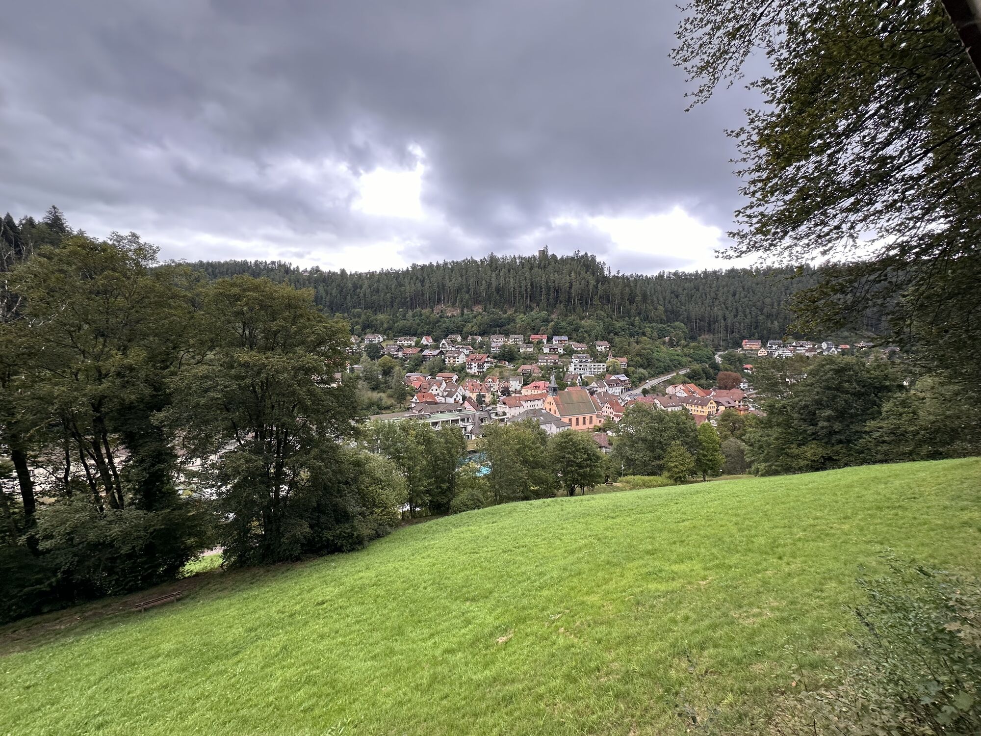
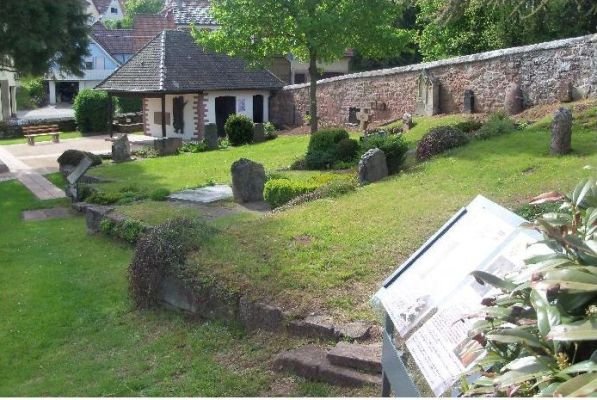
Beautiful hike through the spa park of Bad Teinach to the Franzosenfelsen located below Schmieh. The name is based on events in 1848 when the rock served as a refuge from the French.
After visiting it,...
Beautiful hike through the spa park of Bad Teinach to the Franzosenfelsen located below Schmieh. The name is based on events in 1848 when the rock served as a refuge from the French.
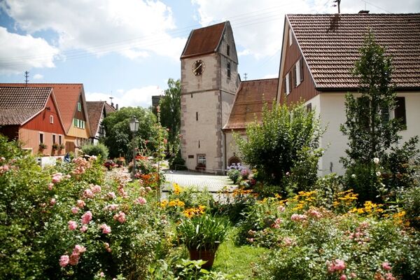
After visiting it, the route continues through the village of Emberg down to the Wolfschlucht and over the Schlossberg further to the Zavelstein castle ruins.
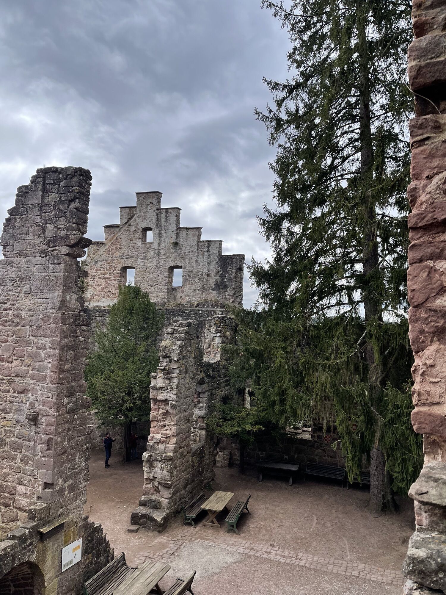
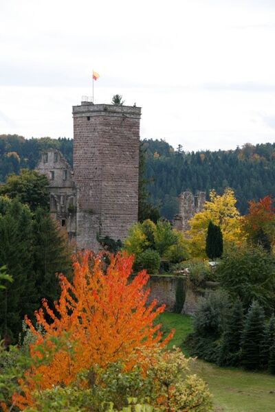
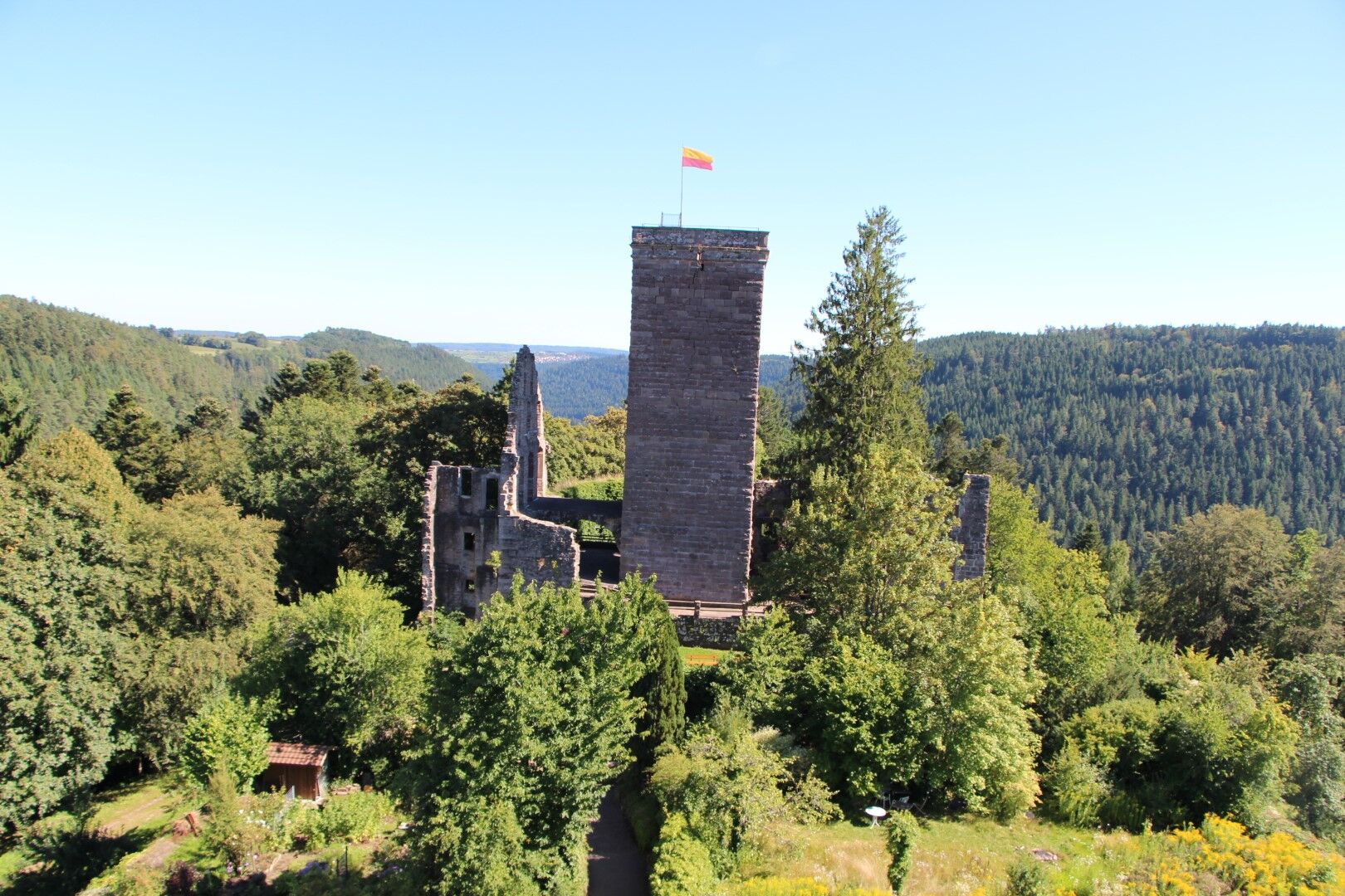
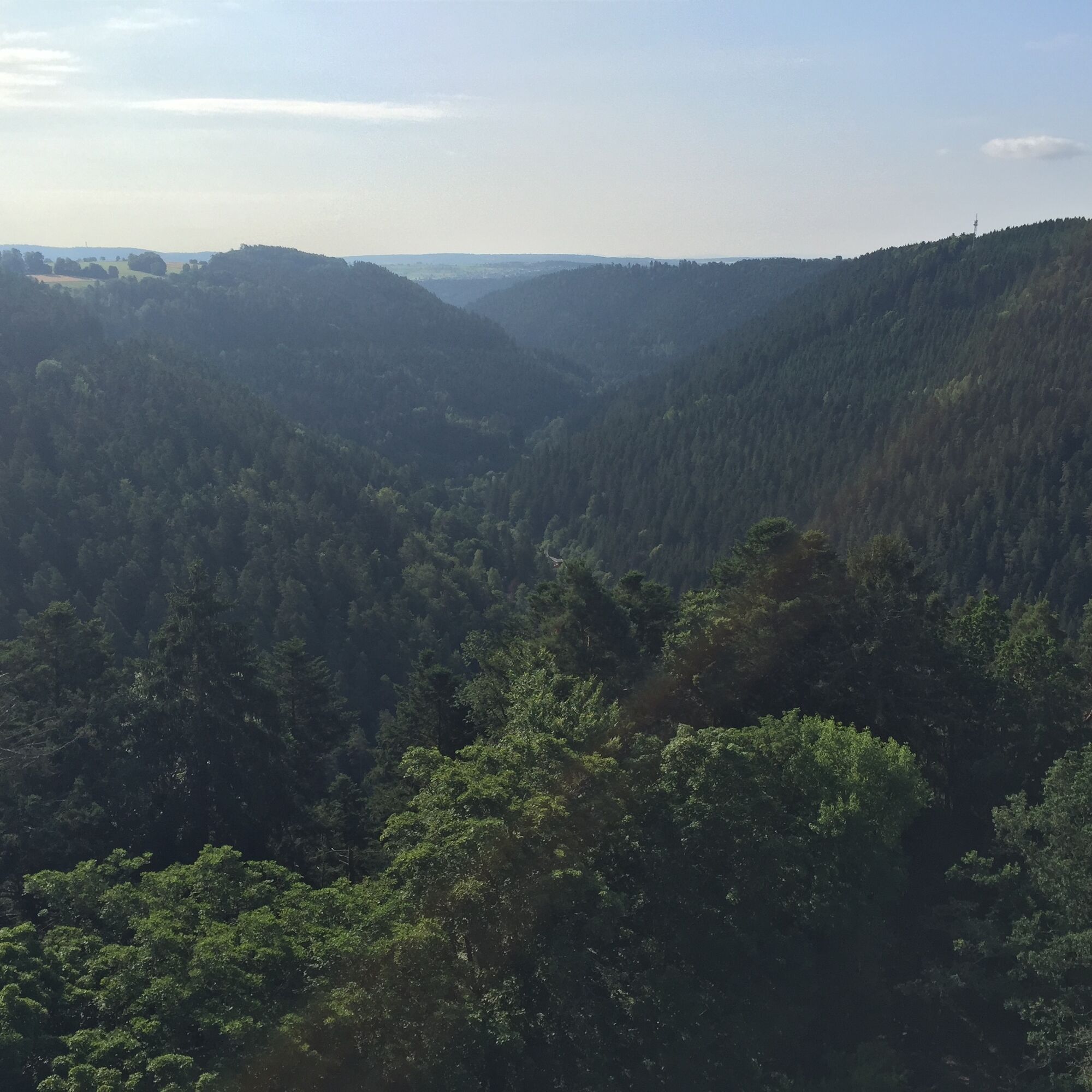
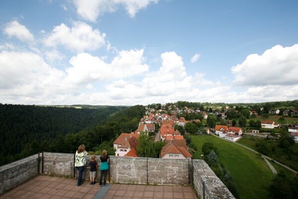
The Zavelstein castle ruins lie high above the Teinach valley. Of the former Staufer castle, only the core castle remains. Still recognizable are the two neck ditches, the gate complex, the palace ruins, a cellar vault, parts of the shield wall, as well as further wall remains of the curtain wall and outer ward. The 28 m tower "Bergfried" can be climbed and offers a breathtaking panoramic view over the Black Forest. The castle area is very well maintained. There are numerous benches inviting you to linger.
After a short visit and a small hiking break, the path leads down to the starting point of the hike.
Signage and trail network of the Black Forest Association.
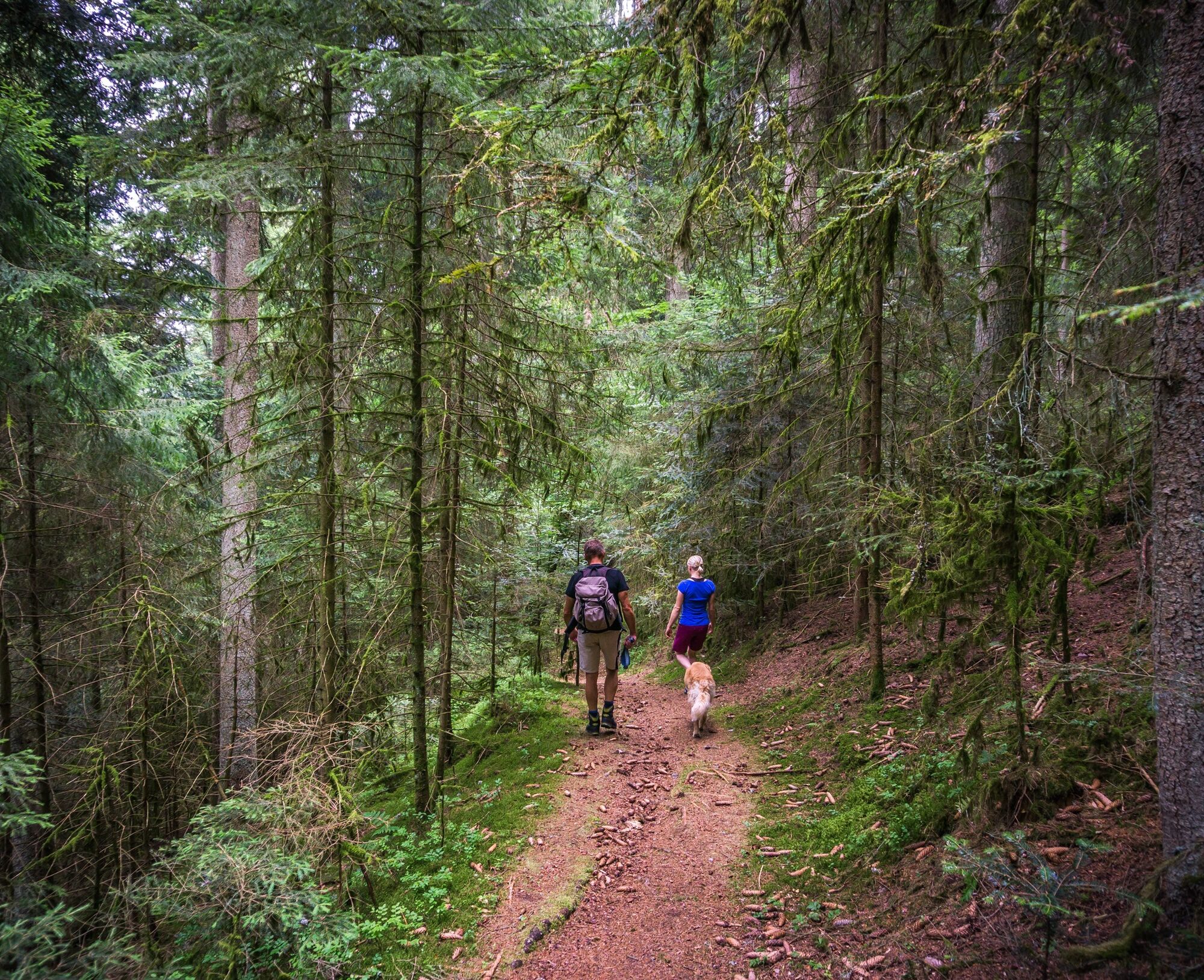
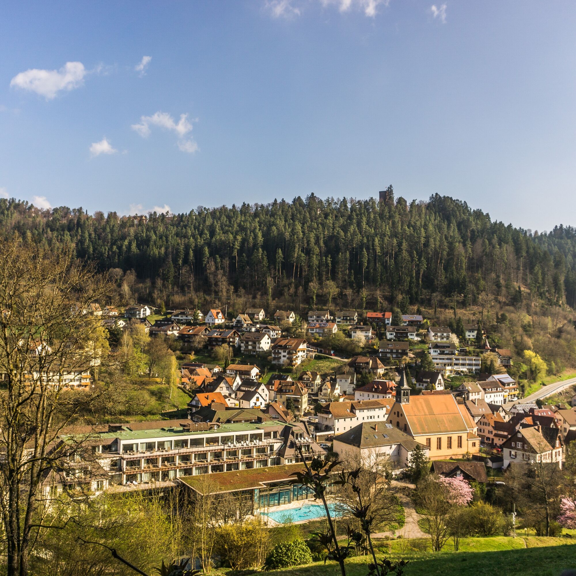
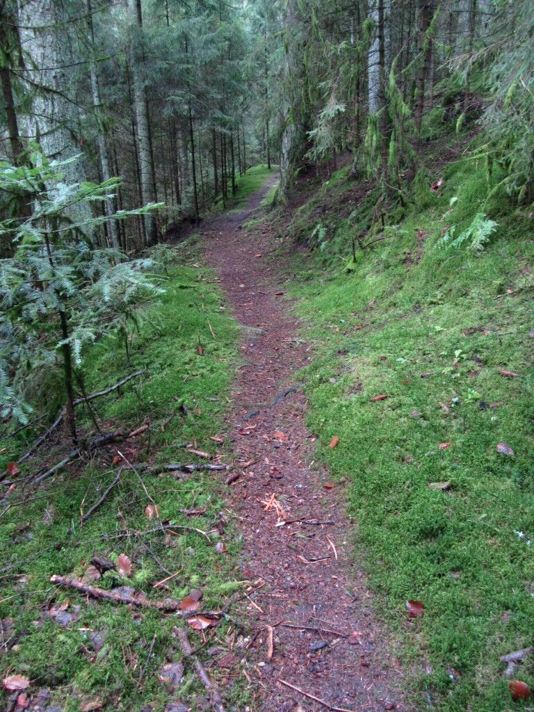
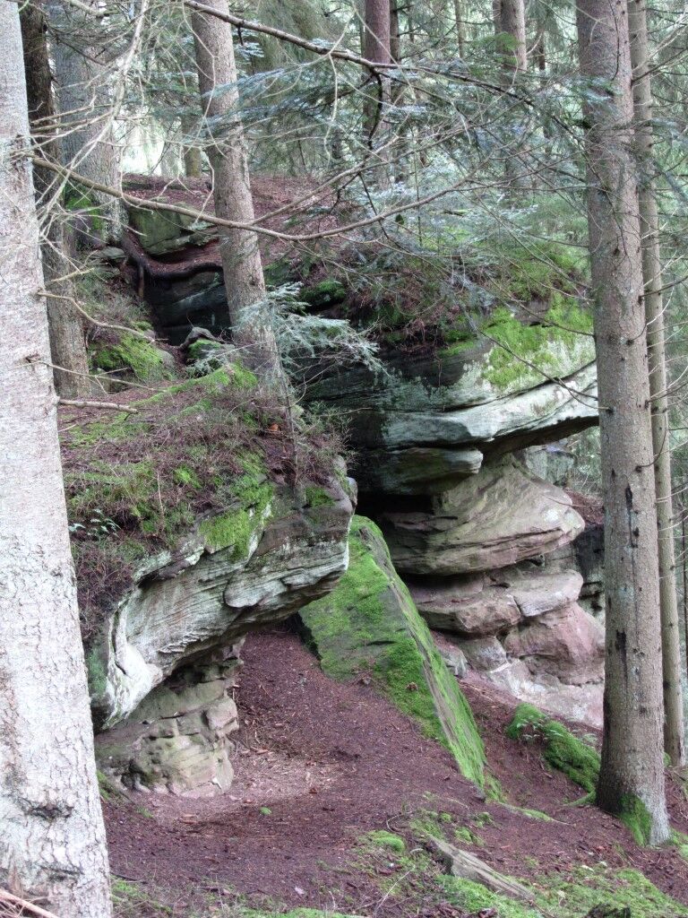



Bad Teinach, Franzosenfelsen, Emberg, Wolfsschluch, Schlossberg, Zavelstein, Bad Teinach
Tak
Hiking boots, small backpack provisions, and drinks are recommended.
Good footwear is absolutely necessary in wet weather.
A8 Karlsruhe, AS Pforzheim-West, B294 to Calmbach and B296 to Oberreichenbach, then L346 Bad Teinach;
A8 from Stuttgart, AS Leonberg, B295 towards Weil der Stadt, Calw, B463 Teinach station, then L347 to Bad Teinach.
A81 AS Herrenberg, B28 and B296 to Calw, B463 Teinach station, L347 to Bad Teinach
The Kulturbahn runs every 30 minutes, or every 60 minutes on weekends, from Pforzheim to Horb with stops in Hirsau, Calw, and Bad Teinach-Neubulach.
Bus line 635 runs from Bad Teinach to the Bad Teinach-Neubulach station or to Calw. Transfers to the Kulturbahn are possible at both stations.
Bad Teinach station is located 3 km outside on the Nagold Valley Railway (Kulturbahn) from Pforzheim to Horb. On this railway line, modern railcars run every half hour with connections to the InterRegio network in Pforzheim and the ICE and IC network in Karlsruhe. Thanks to bus services to Bad Teinach-Zavelstein and taxi services (Tel. 0 70 53 / 9 69 60), good connections to all parts of the town are ensured. There is no ticket counter at Bad Teinach station. The nearest ticket counter is located at Calw station (Calw Travel Center, Bischofstraße 10 in 75365 Calw, Telephone 07051 2355, service hours Monday to Friday 08:00 to 18:00). More info: www.bahn.de
On the homepage of Baden-Württemberg's electronic timetable information, you can find bus and train connections in combination with local public transport. http://www.efa-bw.de
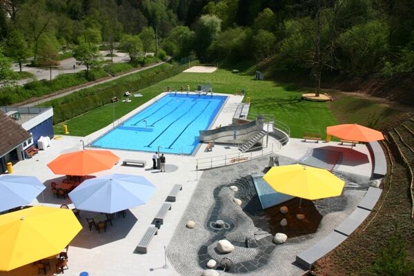
Public parking lot at the Bad Teinach outdoor pool
This hike was provided to us by Mr. Wolfgang Biester.
http://www.wobi-wanderseite.de/unsere-wanderungen/naturpark-schwarzwald-mitte-nord/wanderung-franzosenfels-burg-zavelstein/
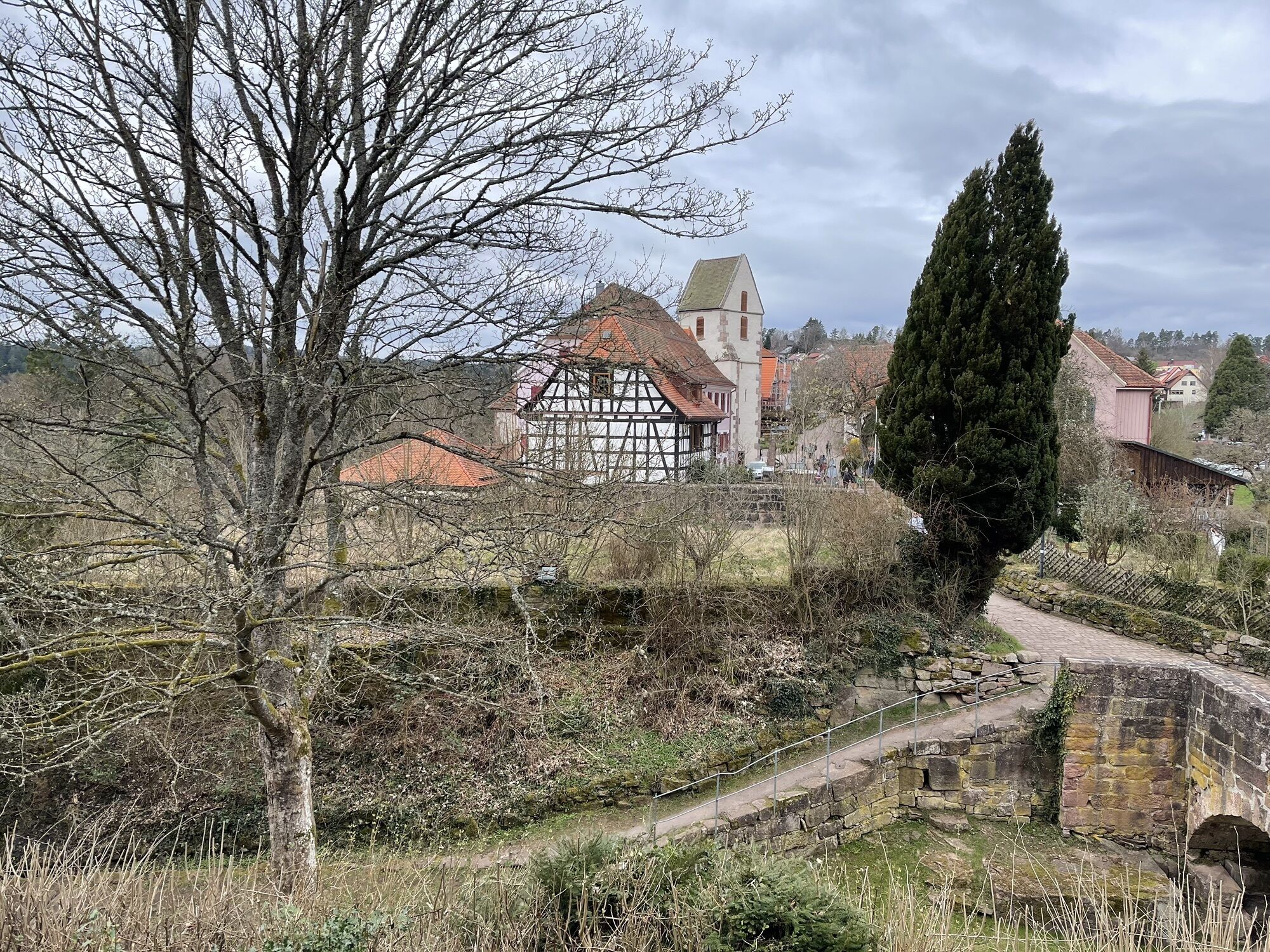
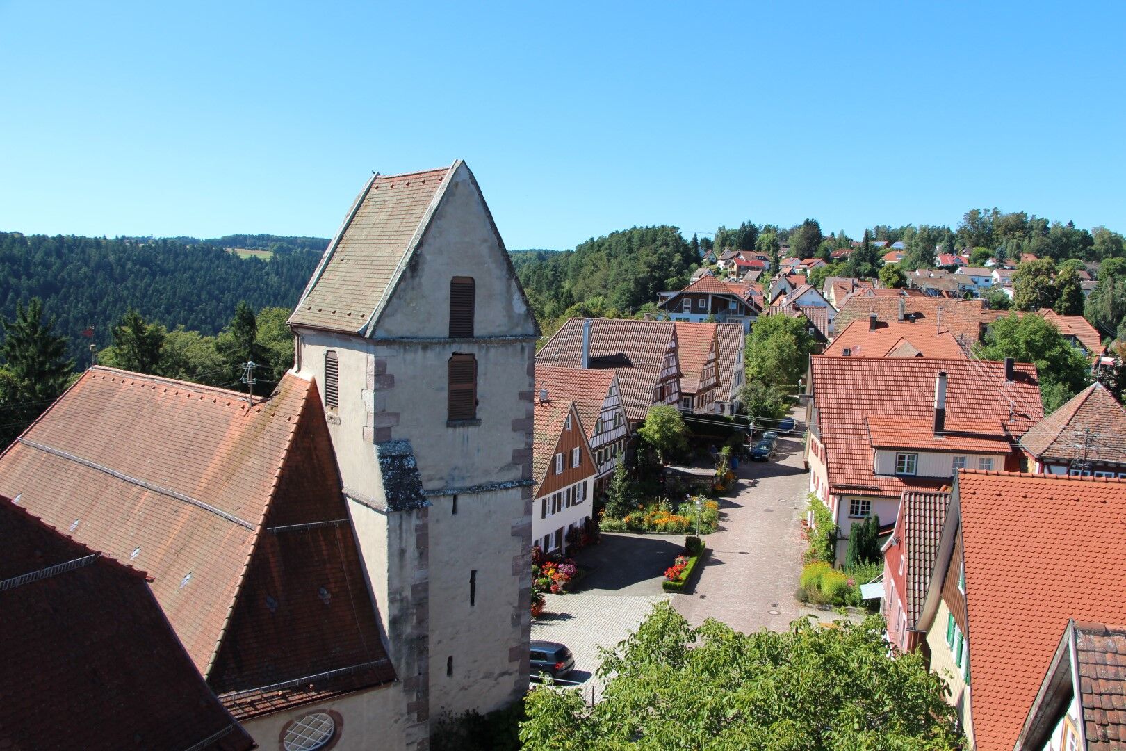
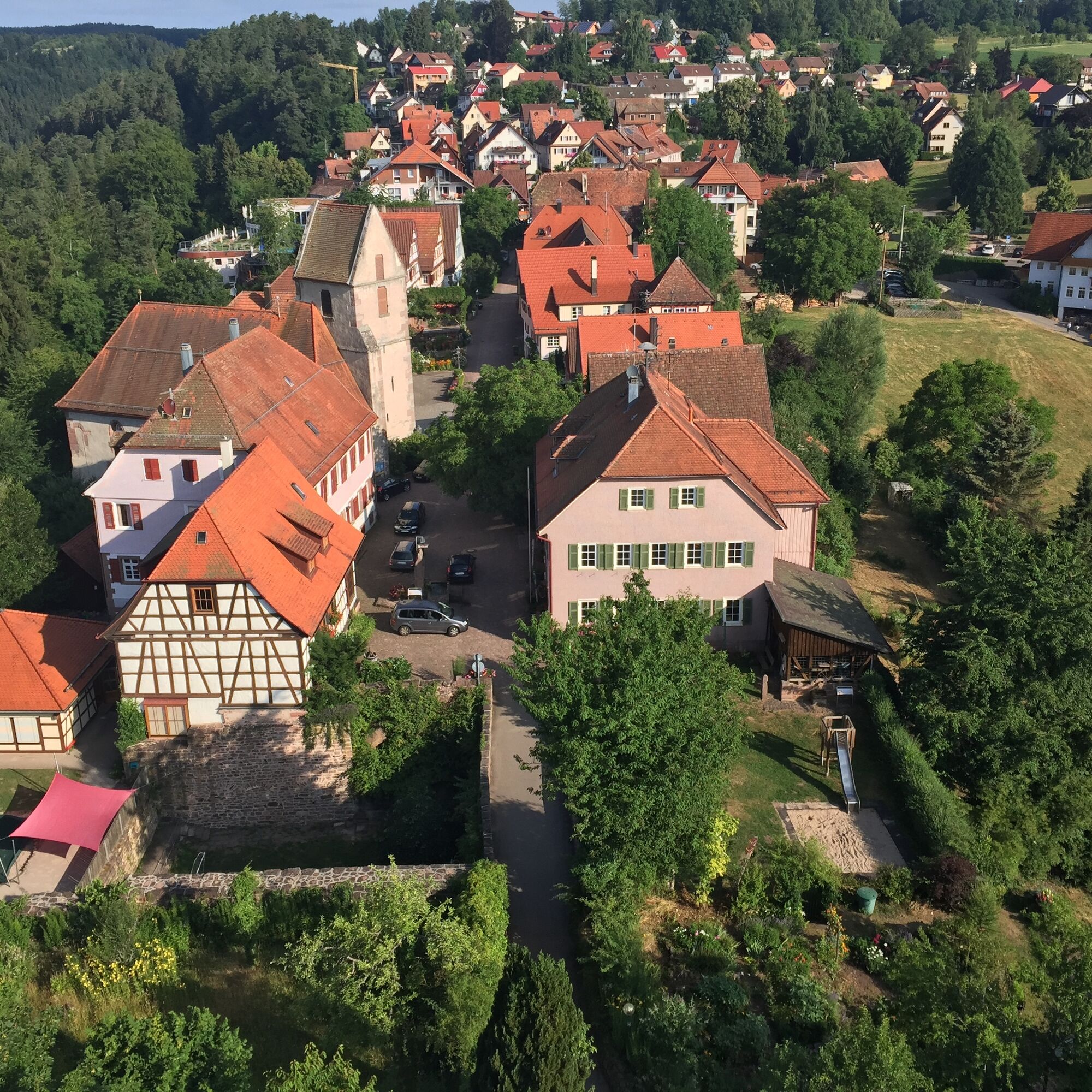
Enjoy the magnificent views of Bad Teinach and Zavelstein, the spa park, and the beautiful nature.
You are also welcome to start this circular route from another starting point.
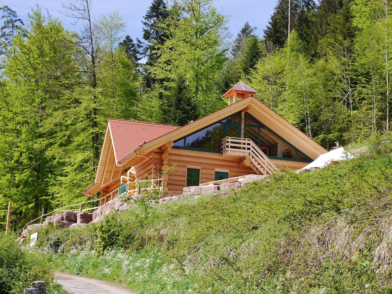
Take a short break at the Schloßberghütte in Bad Teinach or enjoy the varied gastronomy.
Uzyskaj wgląd Zawsze na żywo z ponad 9 500 kamer internetowych. bergfex Jako użytkownik Pro, możesz teraz zobaczyć odpowiednie kamery internetowe dla wielu wycieczek w aplikacji wycieczki od. Pozwala to na bezpośredni podgląd aktualnych warunków. Popularne wycieczki w okolicy
- 4,7
Hiking through the Monbach Gorge in search of the kingfisher
średniWędrówka 10,5 km - 5,0
Wild romantic Monbach Valley
światłoWędrówka 6,25 km - 4,7
Through the wild romantic Schweinbachtal to the Bruderhöhle cave
średniWędrówka 13,8 km - 4,5
Wolfsschlucht and Fox Gorge
średniWędrówka 9,74 km - 5,0
Der Teinacher (Premiumweg & Genießerpfad)
średniWędrówka 12,0 km - 5,0
Water, Woods and Meadowtrail / Zavelstein > Calw (Premium trail & Genussweg)
ciężkiWędrówka 14,4 km - 5,0
From Bieselsberg into the wild Monbach valley - dream route on small paths
ciężkiWędrówka 18,0 km - 5,0
AugenBlick route Bad Teinach-Zavelstein Zettelberg
ciężkiWędrówka 15,5 km - 5,0
Rundwanderweg Sulzkar
średniWędrówka 12,4 km - 5,0
Hike through the idyllic Kälbertal
średniWędrówka 8,01 km

Wędrówki i tropienie


Nie przegap ofert i inspiracji na następne wakacje
Twój adres e-mail została dodana do listy mailingowej.





