






Lehner Waterfall - Source of Power in Längenfeld
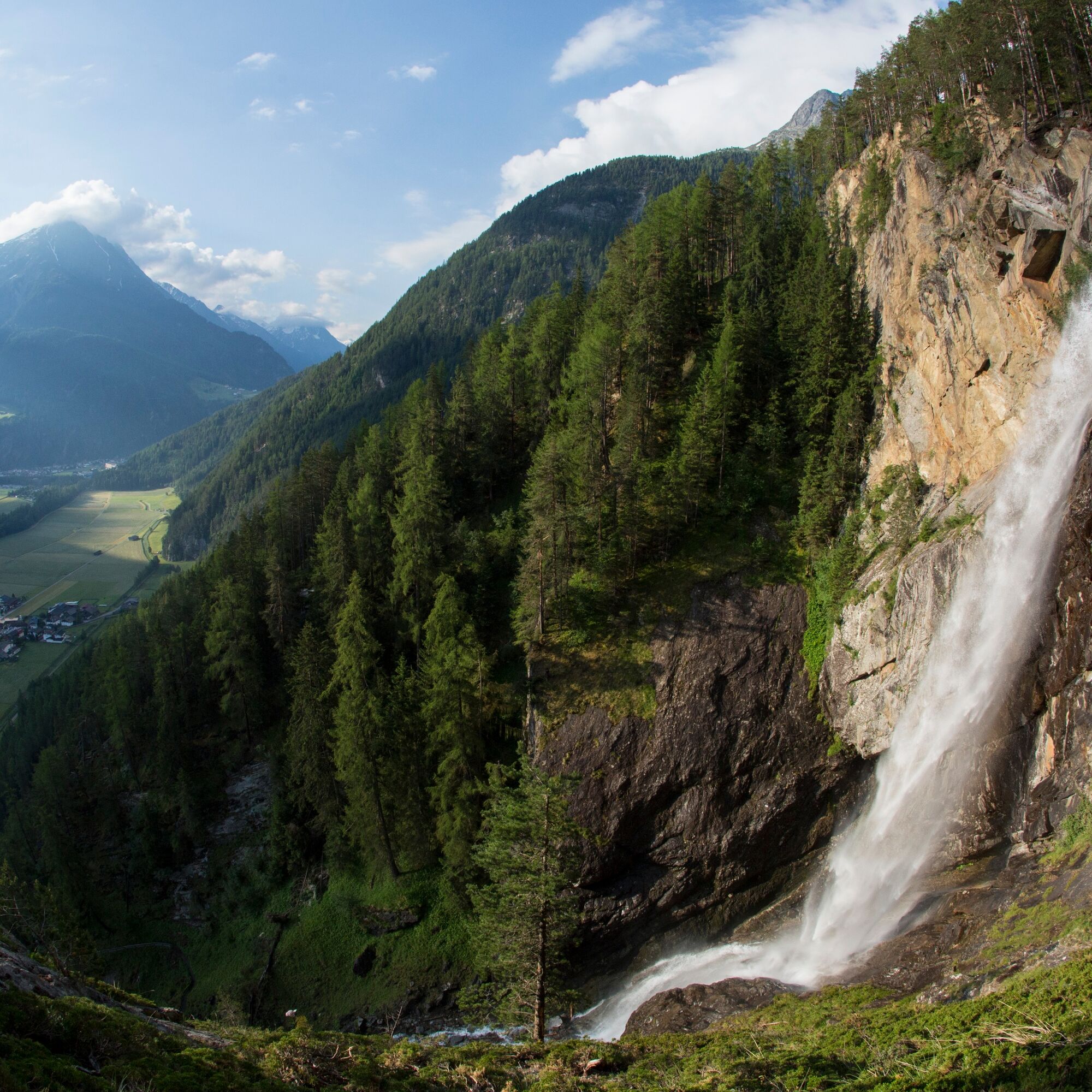
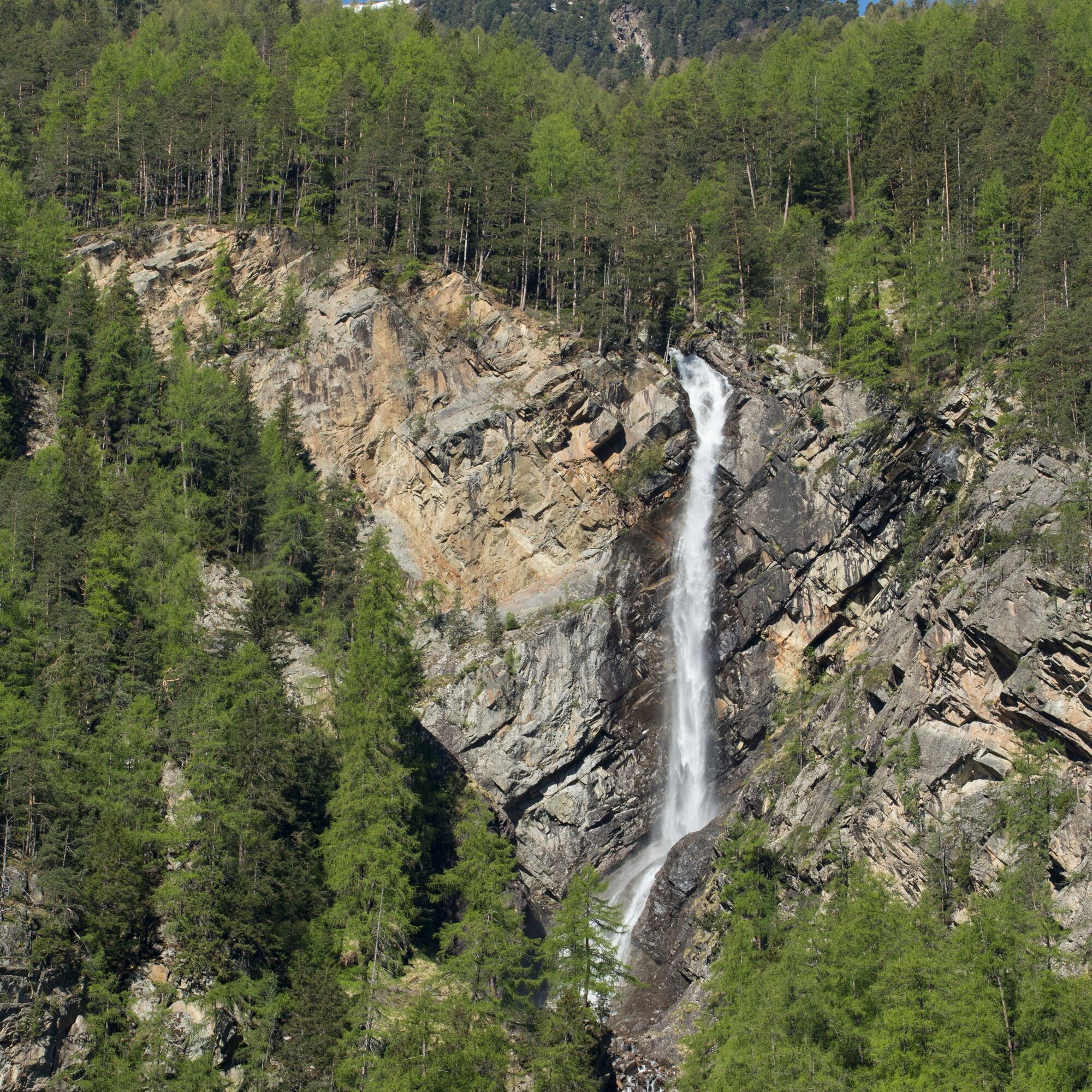
Thunderously, cascades of sparkling mountain water plunge 80 meters deep into the gorge – formed millions of years ago. Pure energy, primal force that seems to jump onto you!
A well-maintained hiking trail...
Thunderously, cascades of sparkling mountain water plunge 80 meters deep into the gorge – formed millions of years ago. Pure energy, primal force that seems to jump onto you!
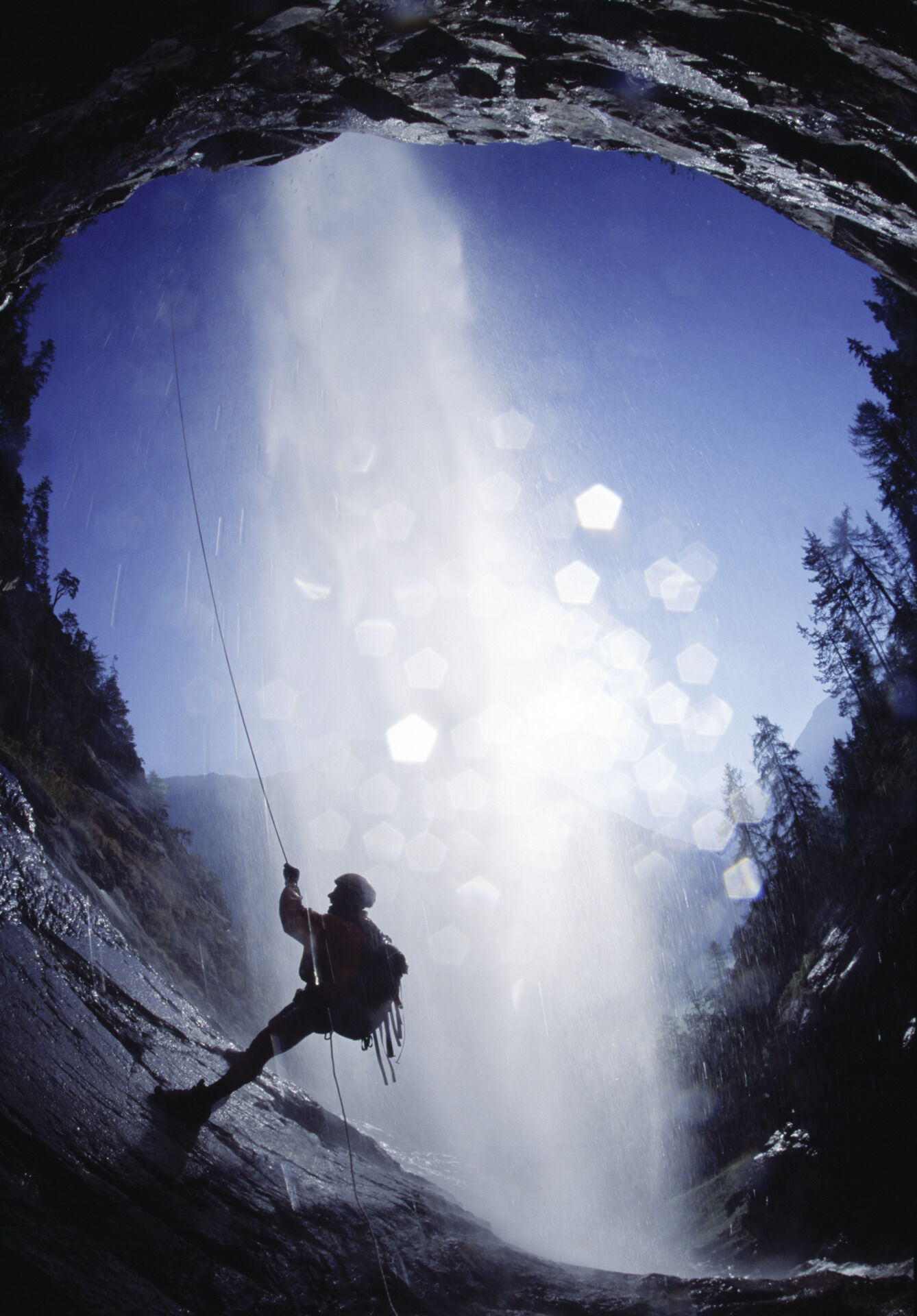
A well-maintained hiking trail accompanies the fall to about halfway down and offers double enjoyment: an up-close view of the roaring water masses and the spectacle of cool climbers scrambling up the rocks on the other side. Benches invite you to take a break; a spacious wooden platform at the upper end opens up great photo opportunities. The hike through the larch forest is pleasantly shady and completely safe, as a wooden railing provides support on steeper sections.
A higher point watches over the trail. At the beginning of the Way of the Cross, you will find the Zarrach chapel, accompanied by 14 small religious shrines (Marterln) leading up to the Marian Grotto.



From the starting point at the Lehner/Wasser parking lot, follow the signpost for the via ferrata. Follow the hiking trail to a small chapel. After a short rest there, take the path to the right and reach the steps which lead directly to the platform.
Tak
wind-, rain- & sun protection, hat, possibly gloves, is for all hikes and tours necessary.
Easy hiking trail; suitable for beginners and walkers. Please observe the current weather report.
Driving into the ÖTZTAL
Traveling by car takes visitors over the Inn valley to the entrance of the valley and then along the Ötztal. In addition to the toll motorway, country roads can also be used. You can quickly and conveniently plan your route with the route planner. Route planner: https://www.google.at/maps
Travel comfortably and safely by train. The final stop or exit point is ÖTZTAL station. Afterwards, you can travel conveniently and quickly to your desired destination in the valley by public transport or local taxi services. The current bus schedule is available at: http://fahrplan.vvt.at
The following parking options are available
Near the Local History Museum (paid)More information about hiking in the Ötztal can be found here.
Enjoy the peace and watch the climbers on the via ferrata.
After the hike, why not visit the Längenfeld Local History Museum.
Kamery internetowe z trasy
-
Niederthai im Ötztal
-
Niederthai - Alpin Appart
-
Therme Längenfeld
-
Therme Längenfeld
-
Längenfeld - Ortsblick
-
Stuibenfall
-
Stuibenfall
-
Umhausen / Hotel Tauferberg
-
Umhausen / Hotel Tauferberg
-
Umhausen / Hotel Tauferberg
-
Umhausen / Hotel Tauferberg
-
Umhausen / Hotel Tauferberg
-
Niederthai - Delano
-
Niederthai - Delano
-
Umhausen / Hotel Tauferberg
Uzyskaj wgląd
Zawsze na żywo z ponad 9 500 kamer internetowych. bergfex Jako użytkownik Pro, możesz teraz zobaczyć odpowiednie kamery internetowe dla wielu wycieczek w aplikacji wycieczki od. Pozwala to na bezpośredni podgląd aktualnych warunków.
Popularne wycieczki w okolicy
-
4,5
Winnebachsee Hut – Längenfeld/Gries
średniWędrówka 4,74 km -
4,2
Hike Stuibenfall - Umhausen
światłoWędrówka 2,95 km -
4,4
Stuibenfall Umhausen circular hike
światłoWędrówka 9,32 km -
4,4
Rundwanderung Hängebrück3
światłoWędrówka 6,32 km -
4,7
Winter circular route Brandalm/Burgstein - Längenfeld 204
średniWędrówka zimą 5,44 km -
4,5
Oetz - Piburger See - Oetz
średniWędrówka 7,16 km -
4,3
Amberger Hut - Längenfeld/Gries
średniWędrówka 5,60 km -
4,6
Umhausen - Stuibenfall - Umhausen
średniWędrówka 7,94 km -
4,5
Summit route Weather Cross from Hochoetz
średniWędrówka 3,06 km -
4,7
Circular hike Bergmahderweg - Niederthai
światłoWędrówka 7,60 km
Wędrówki i tropienie


Nie przegap ofert i inspiracji na następne wakacje
Twój adres e-mail została dodana do listy mailingowej.





