







Amberger Hut - Längenfeld/Gries

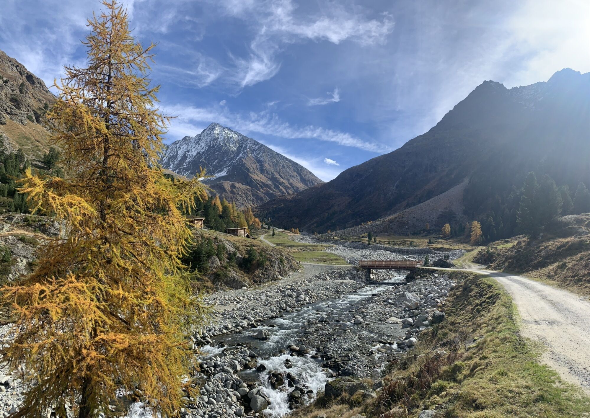


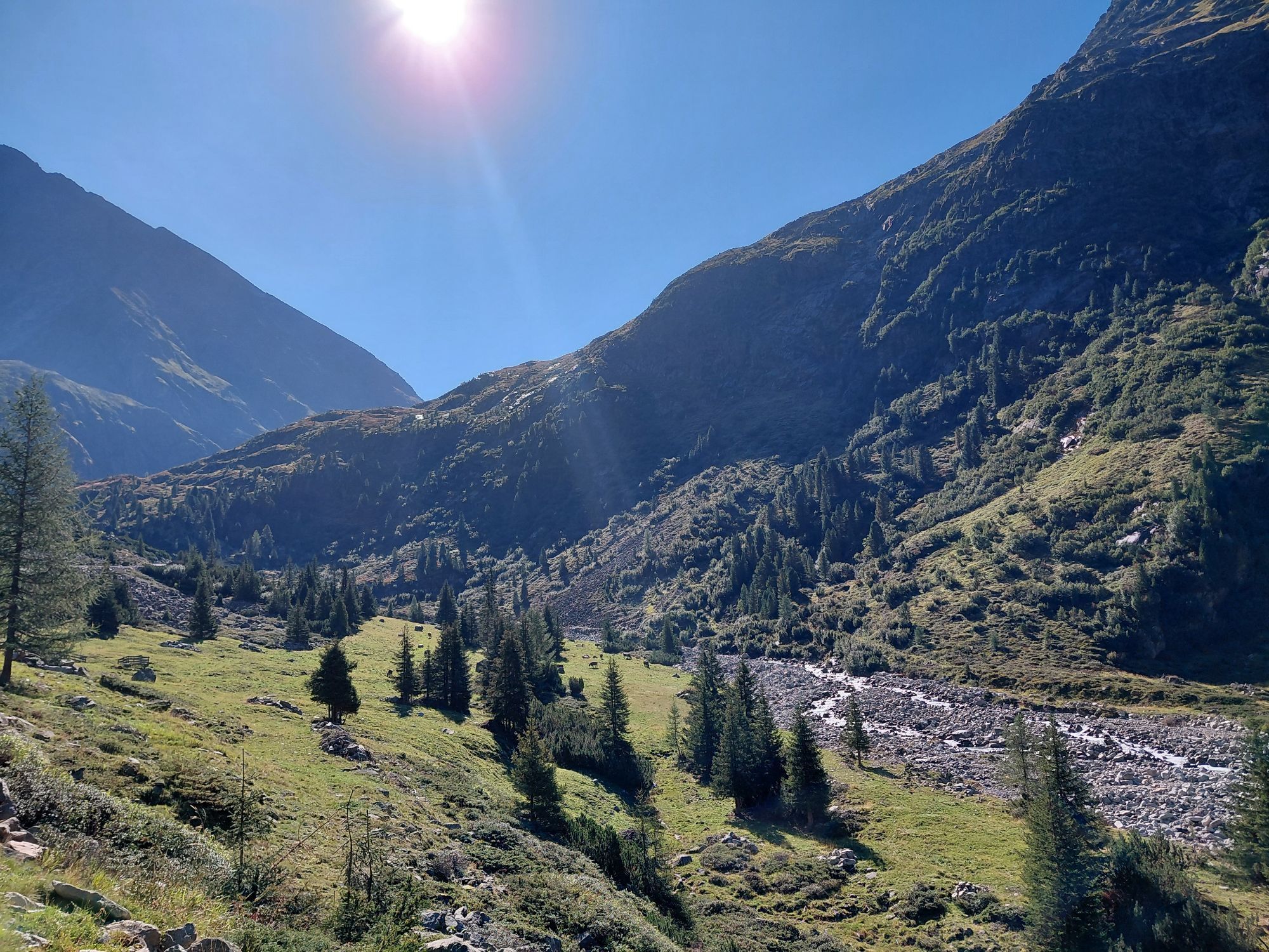
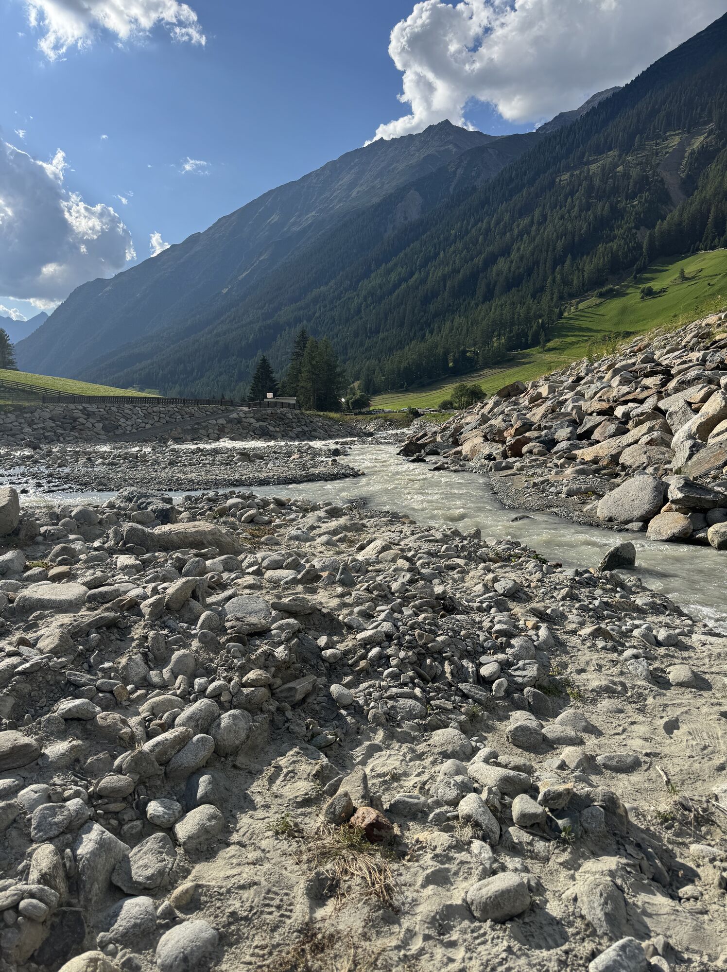
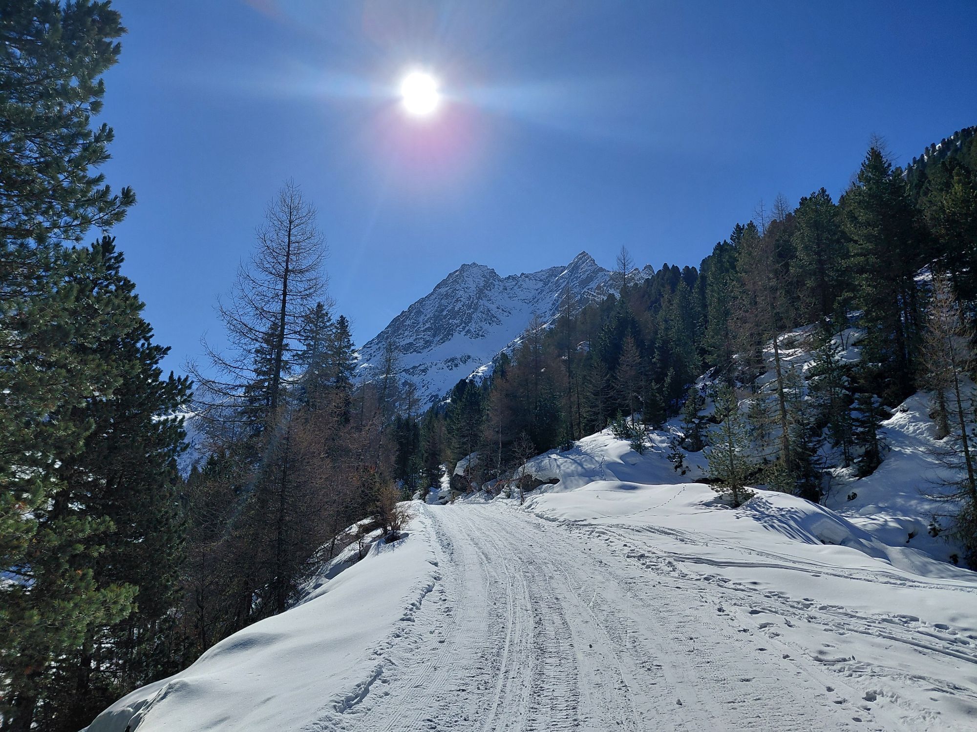
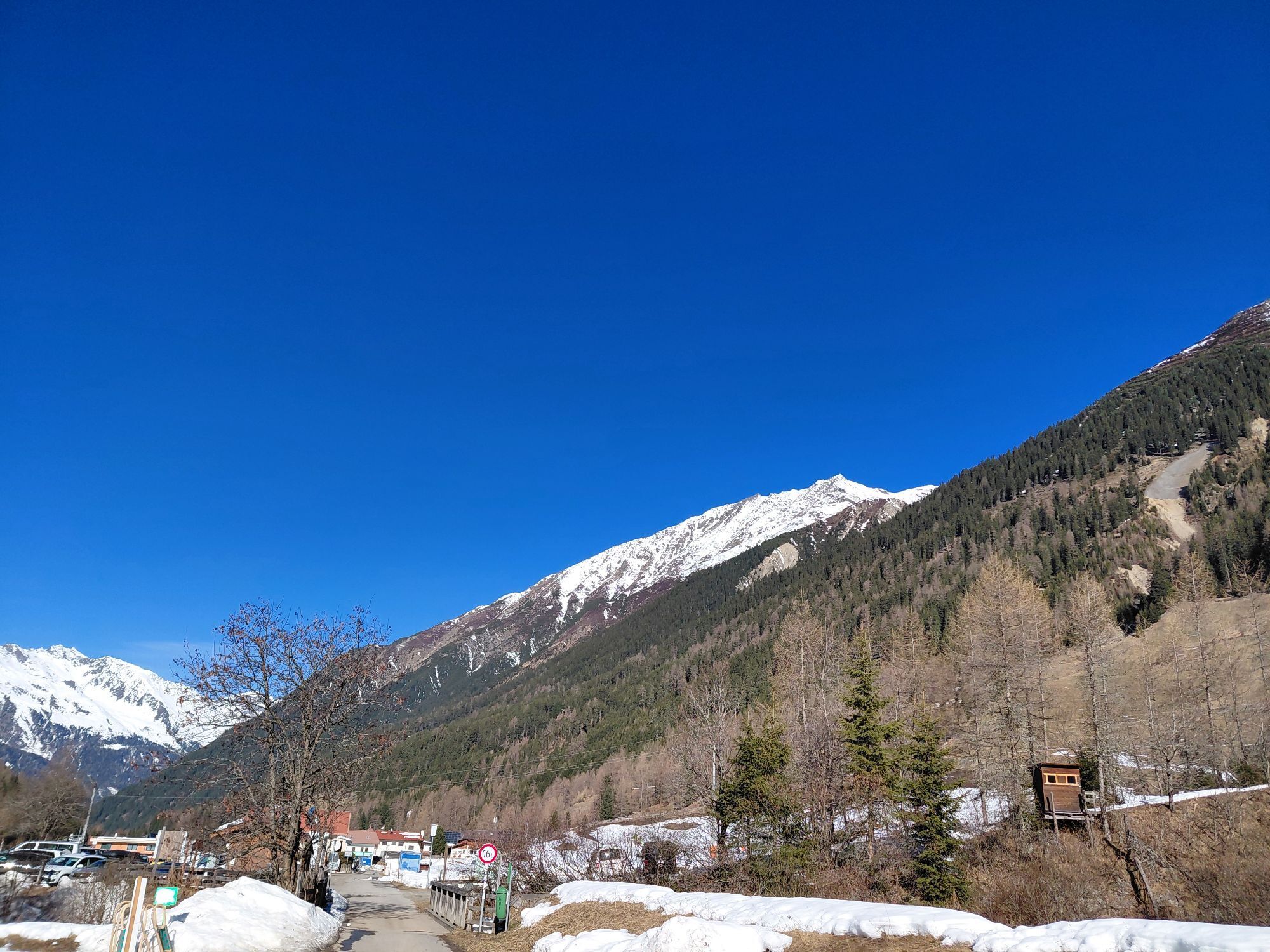
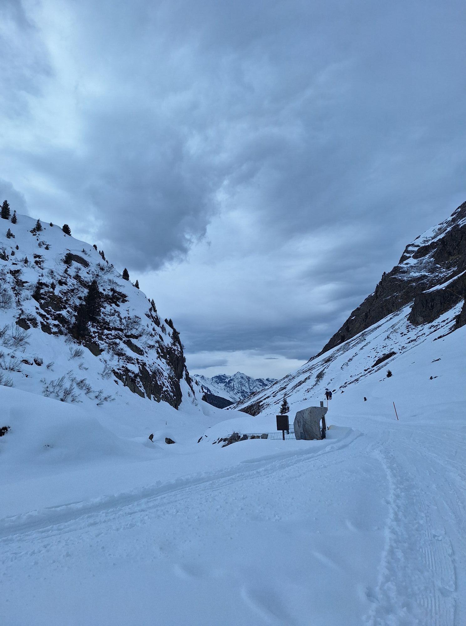
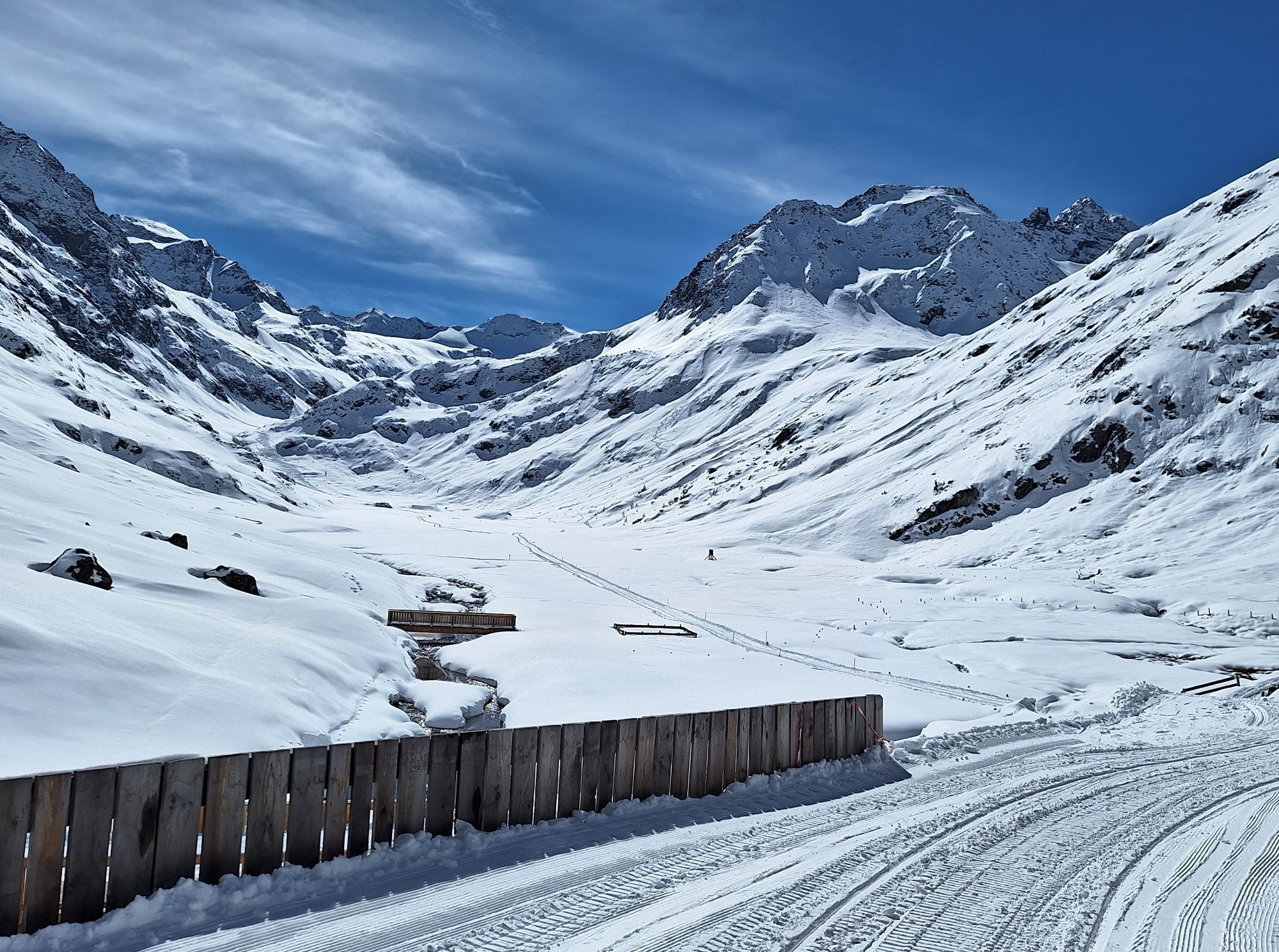
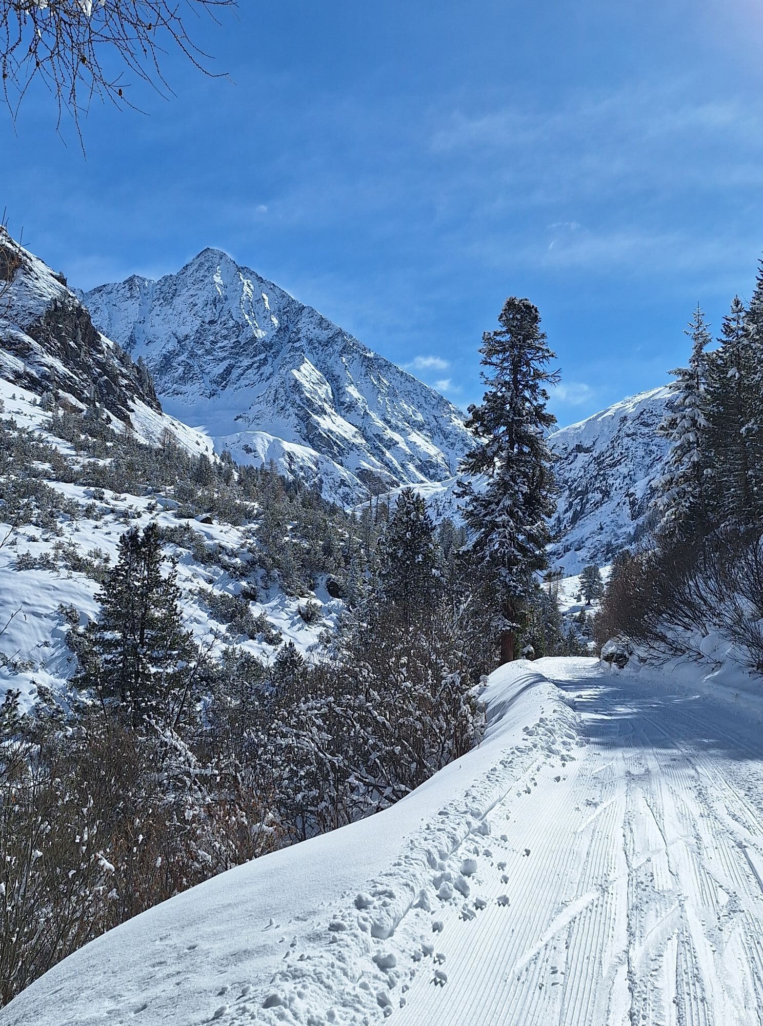
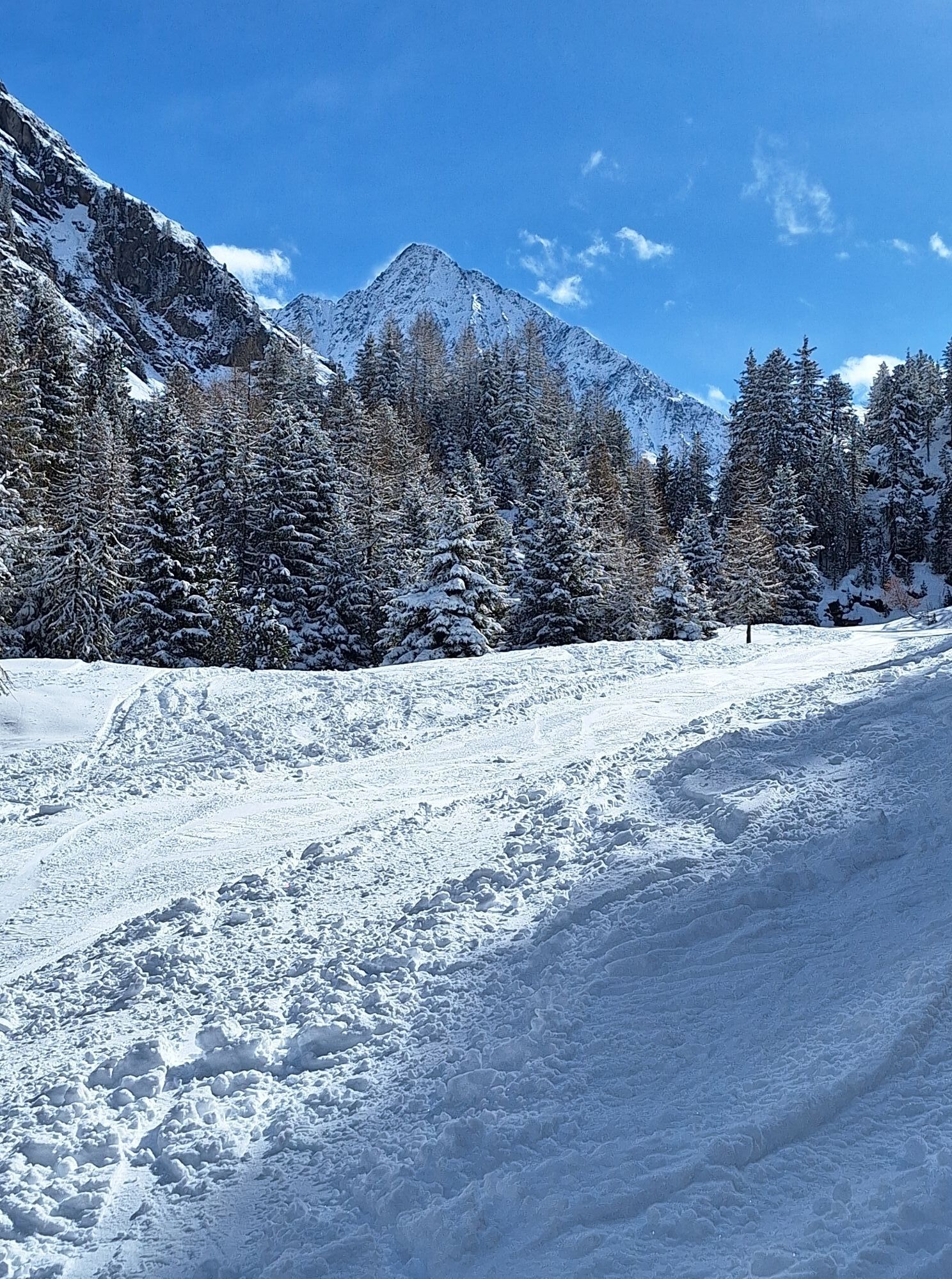
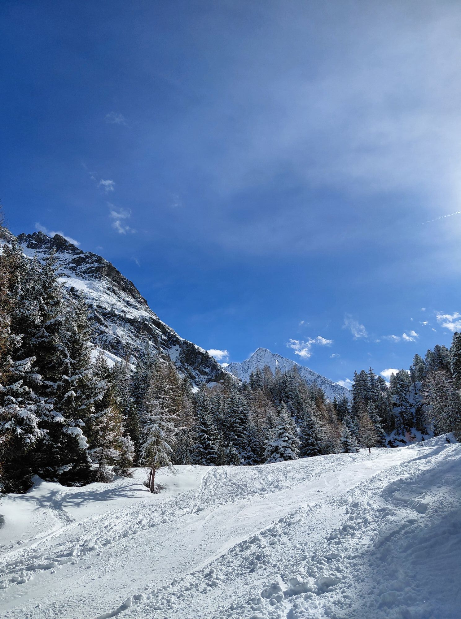
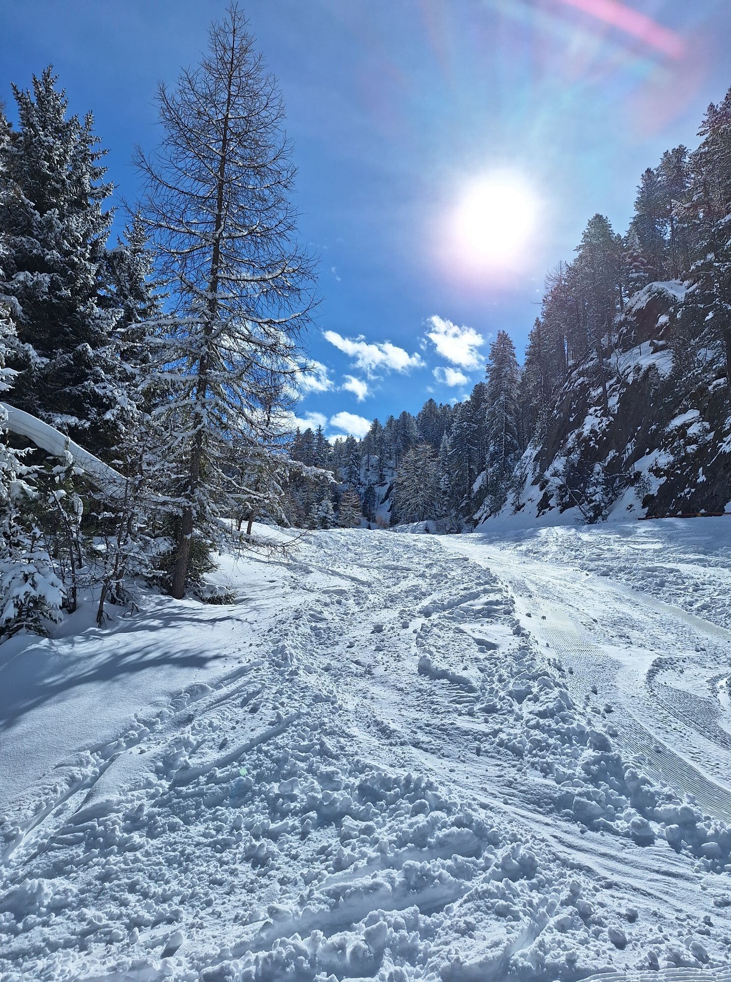
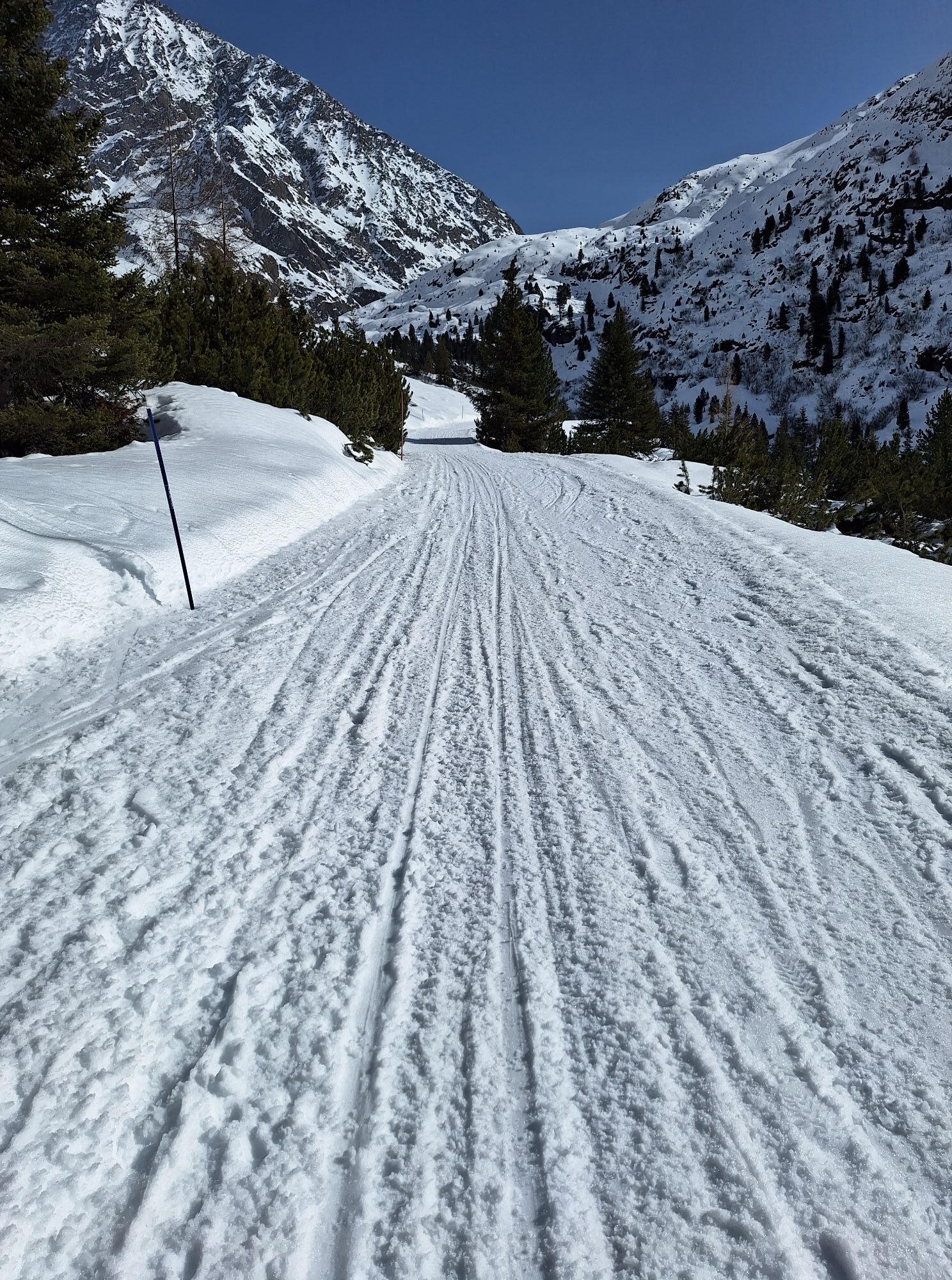
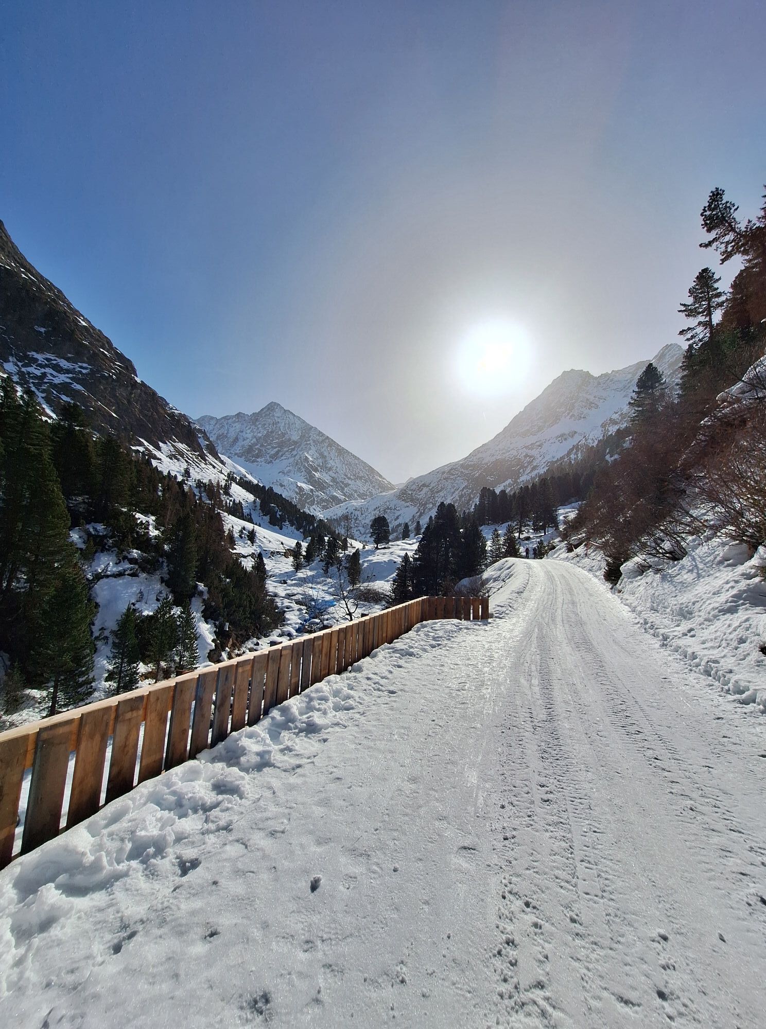
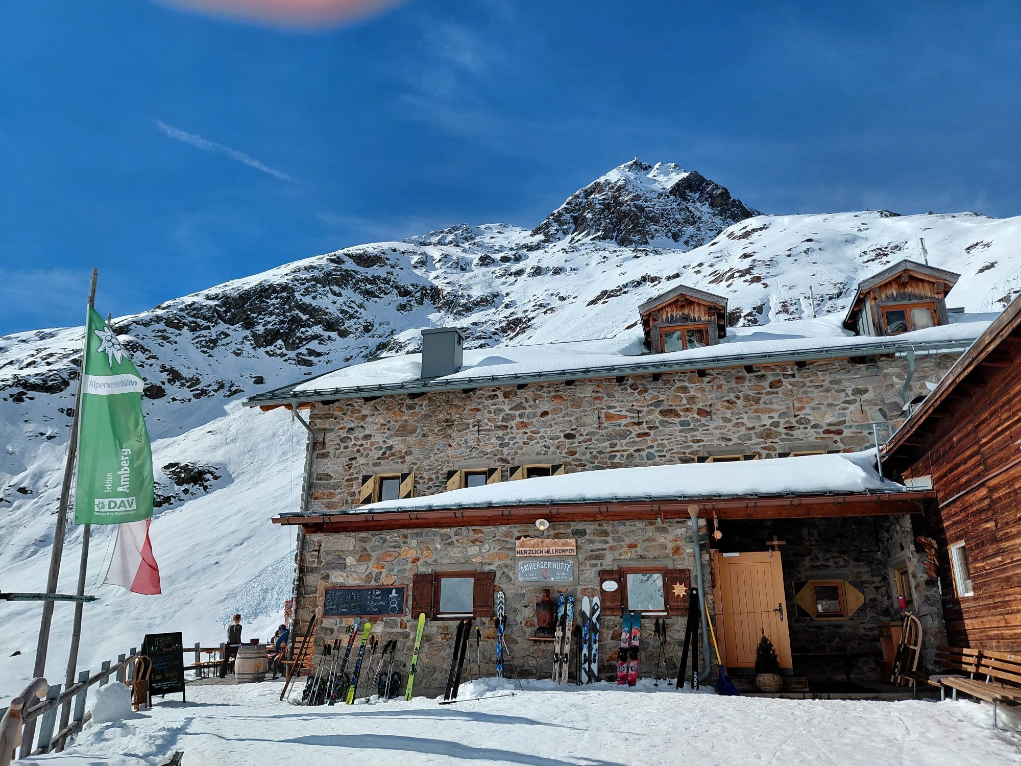
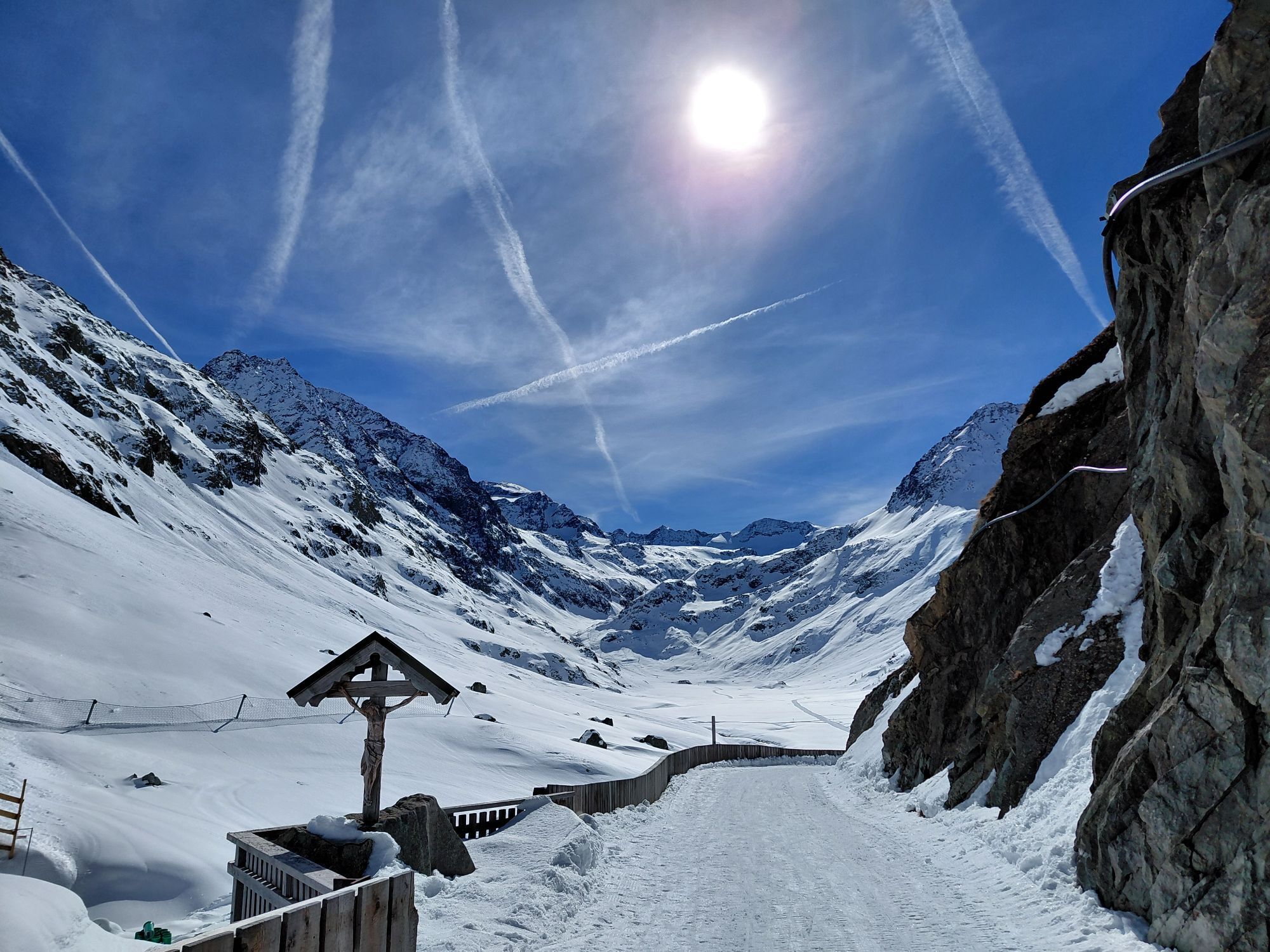
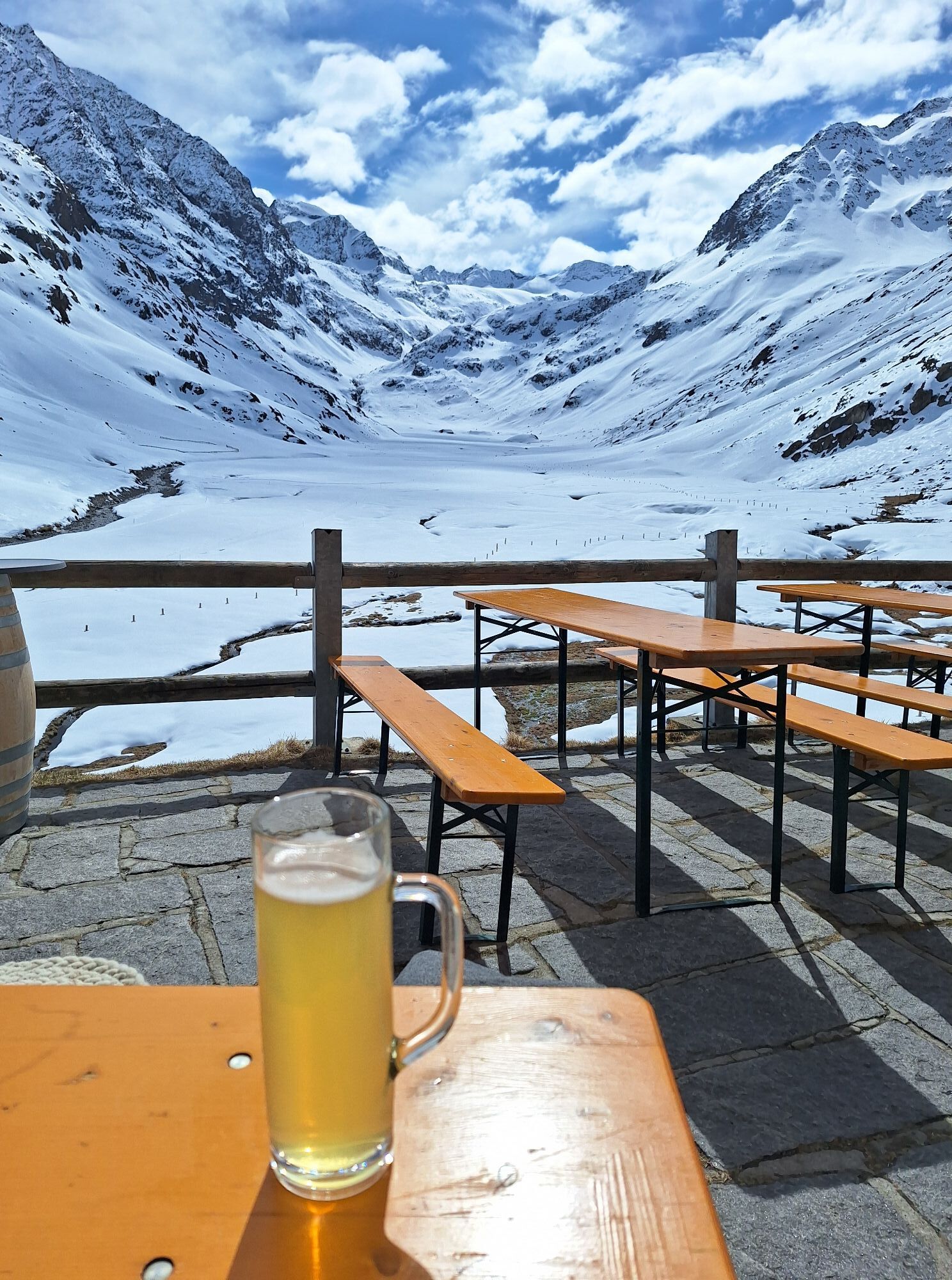
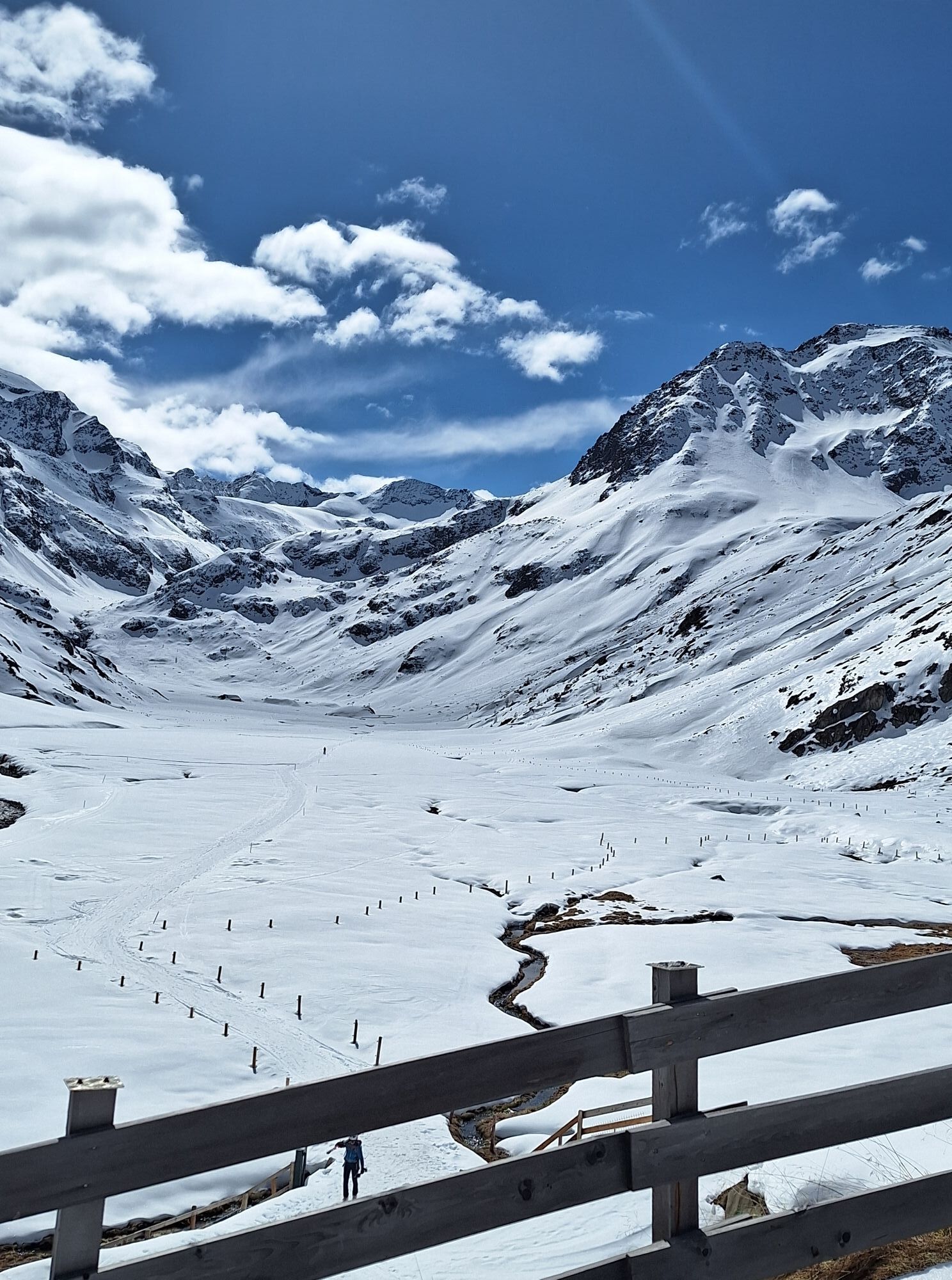
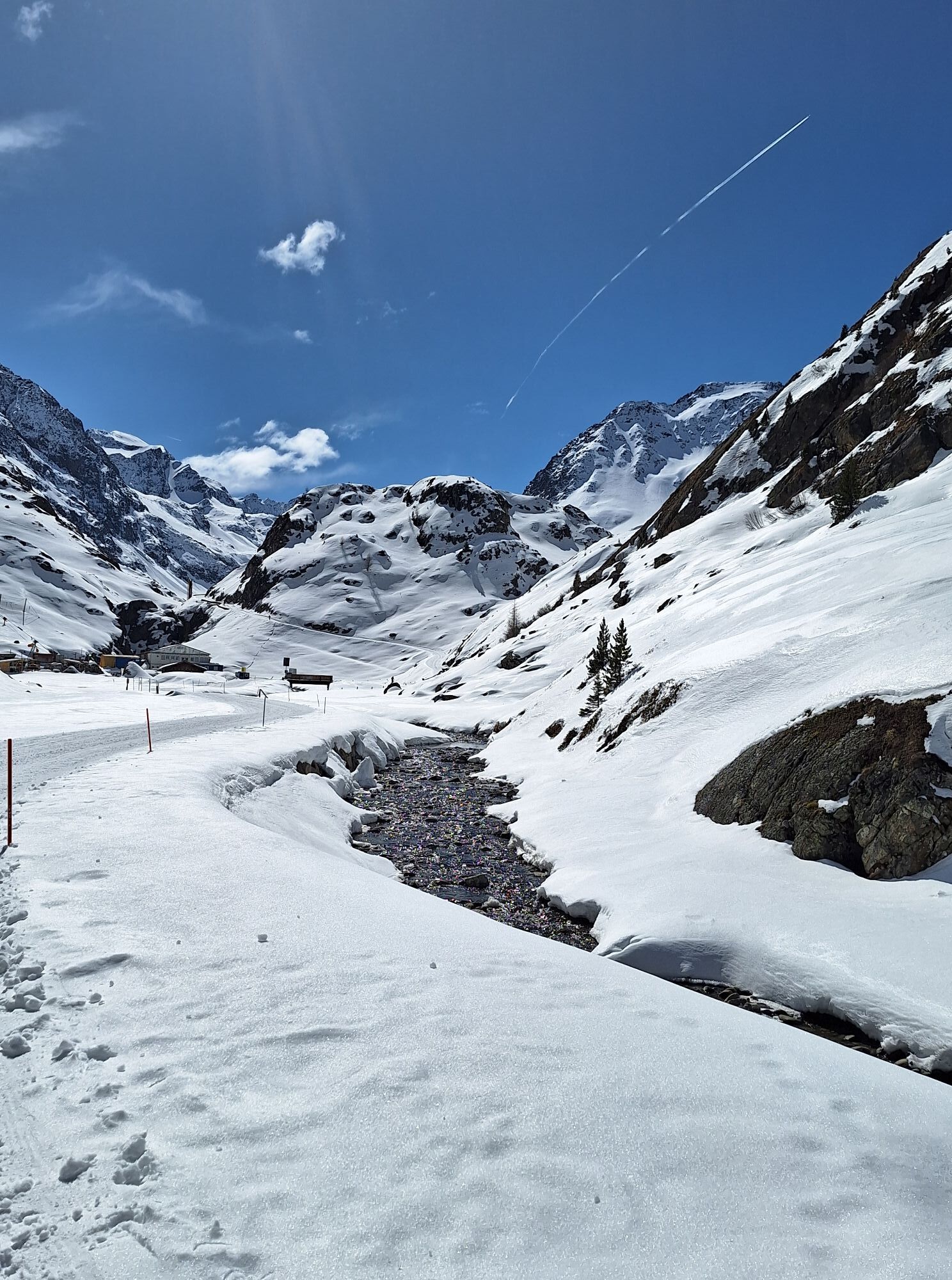
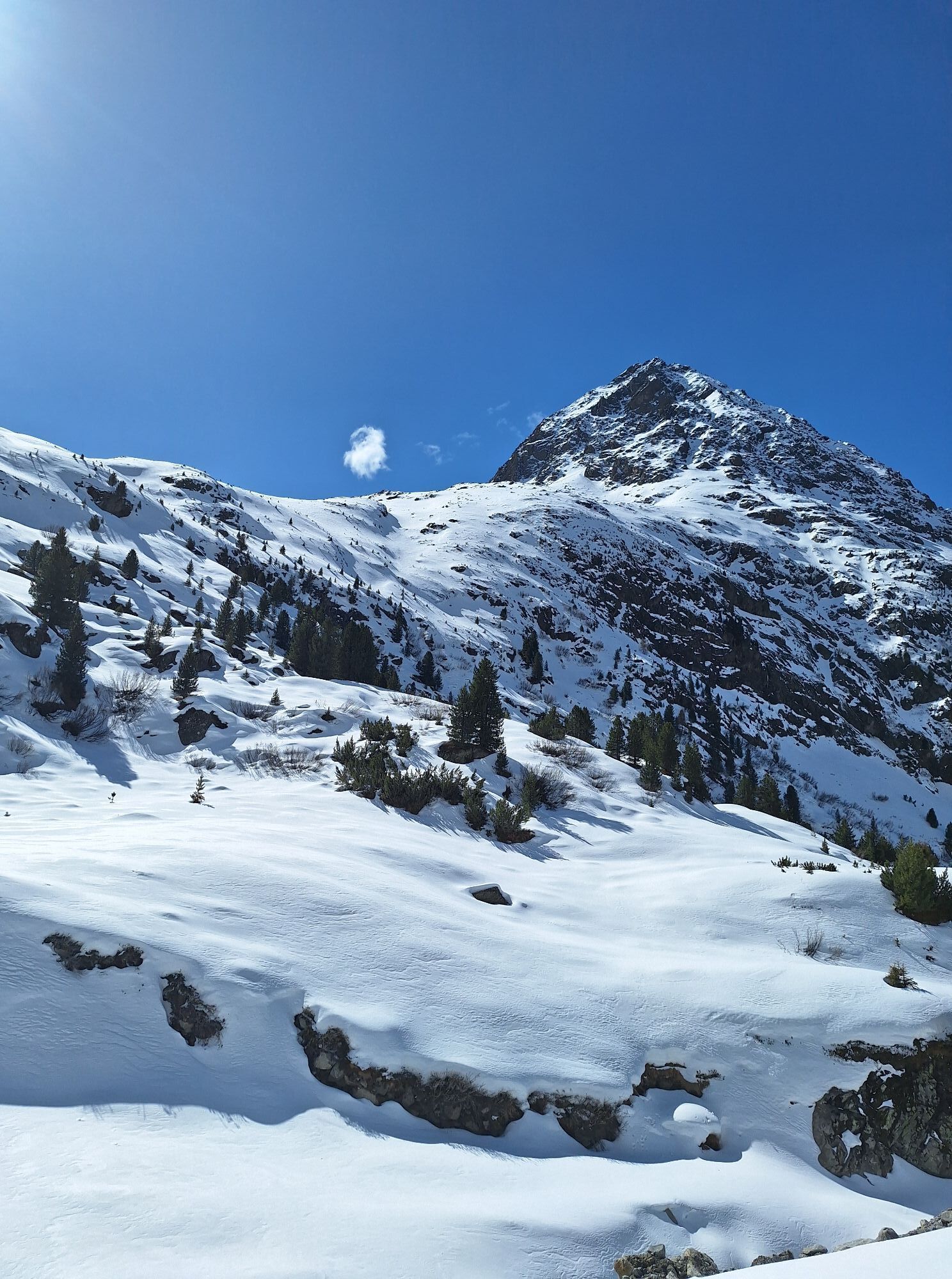
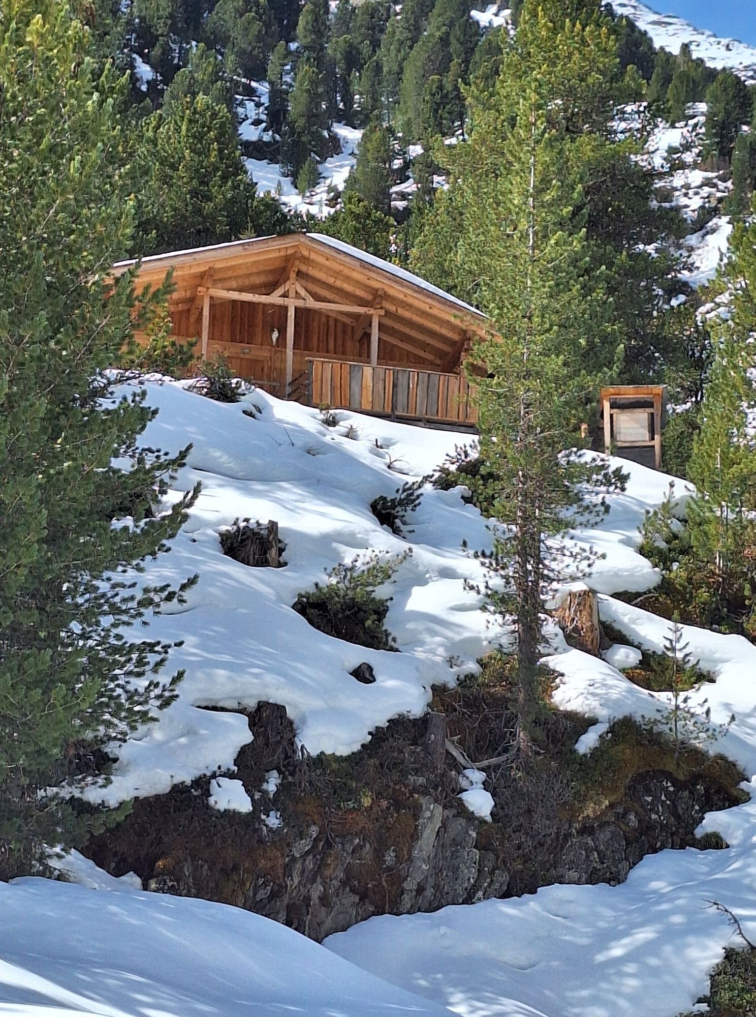
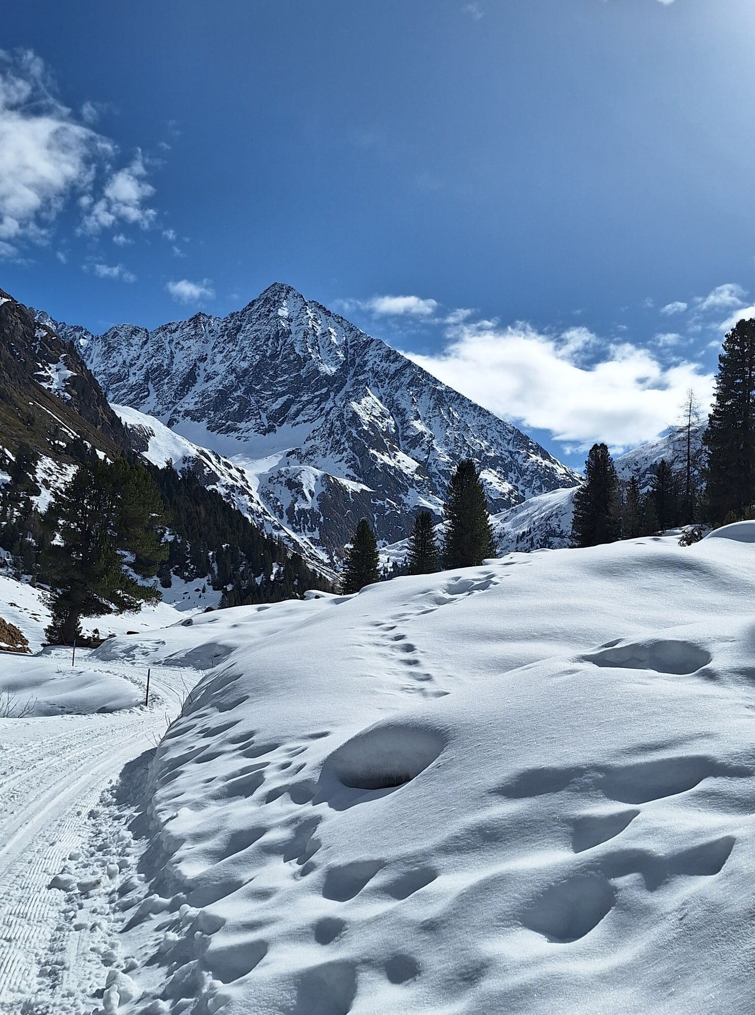
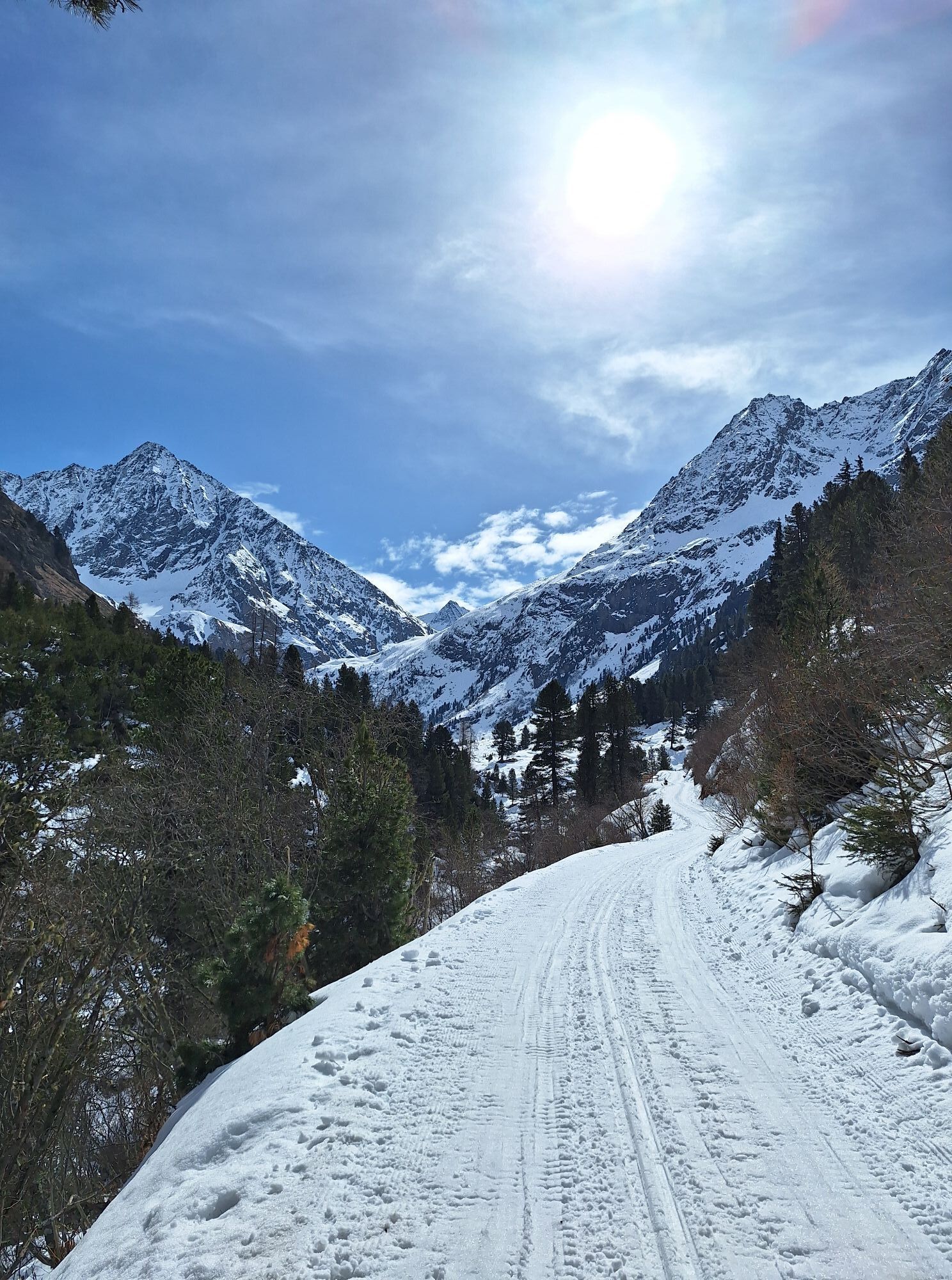
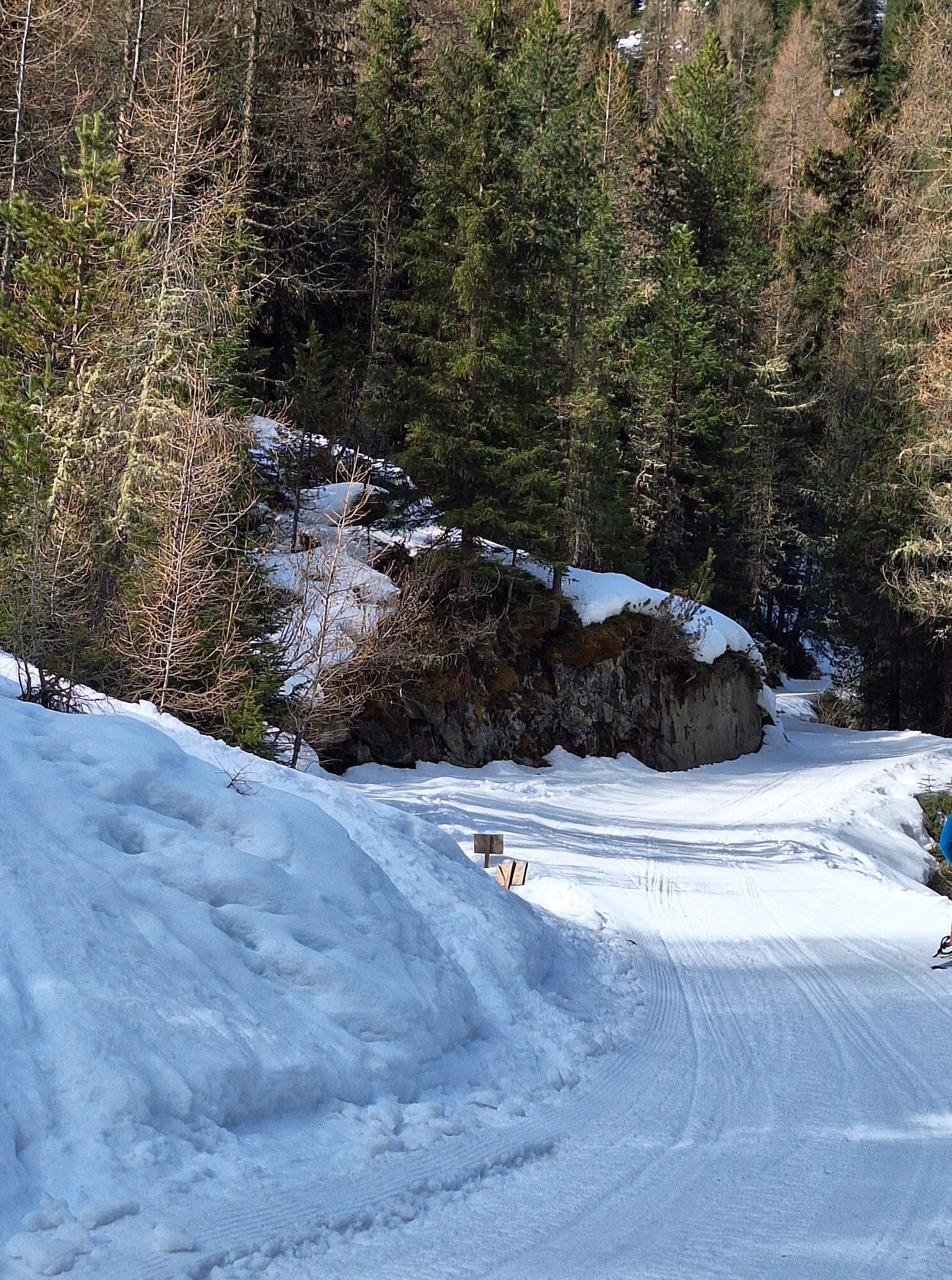
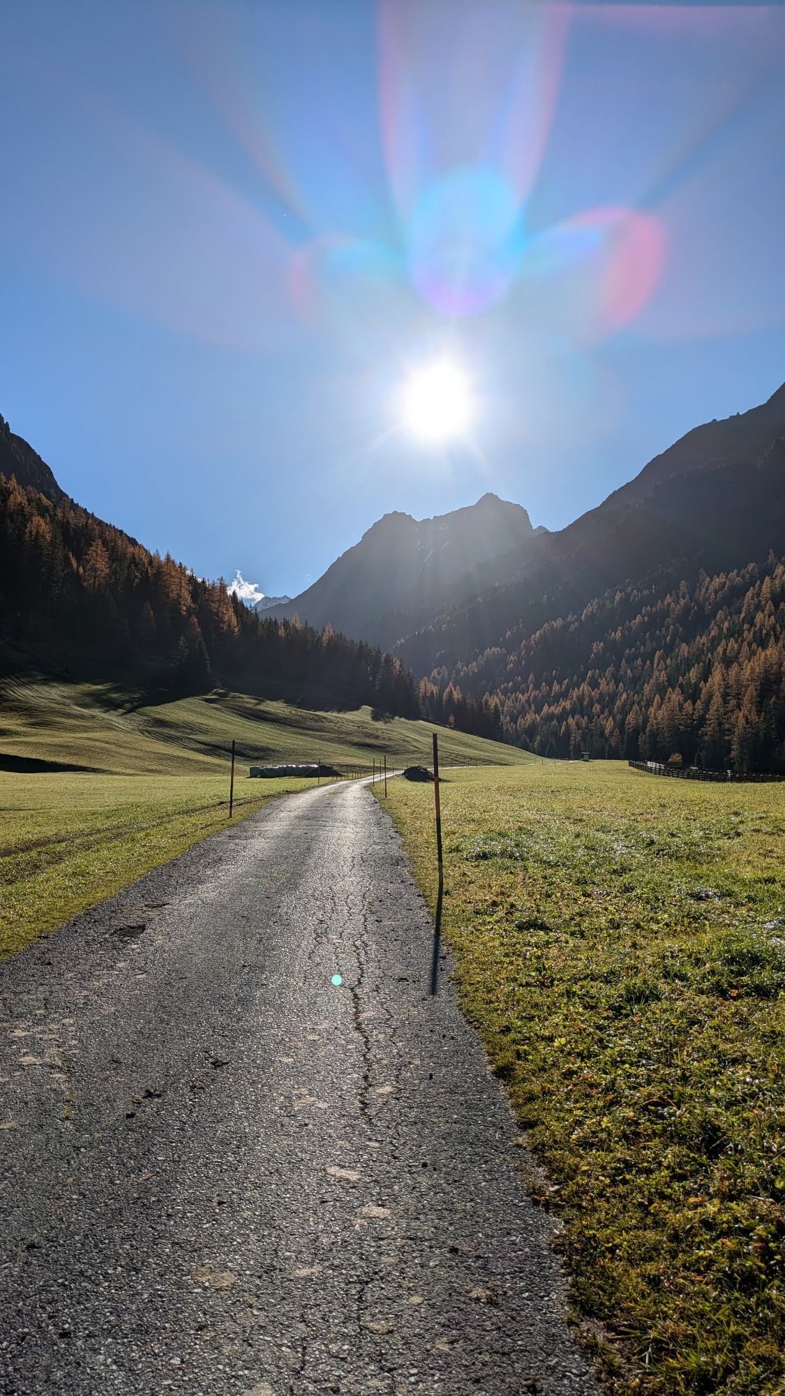
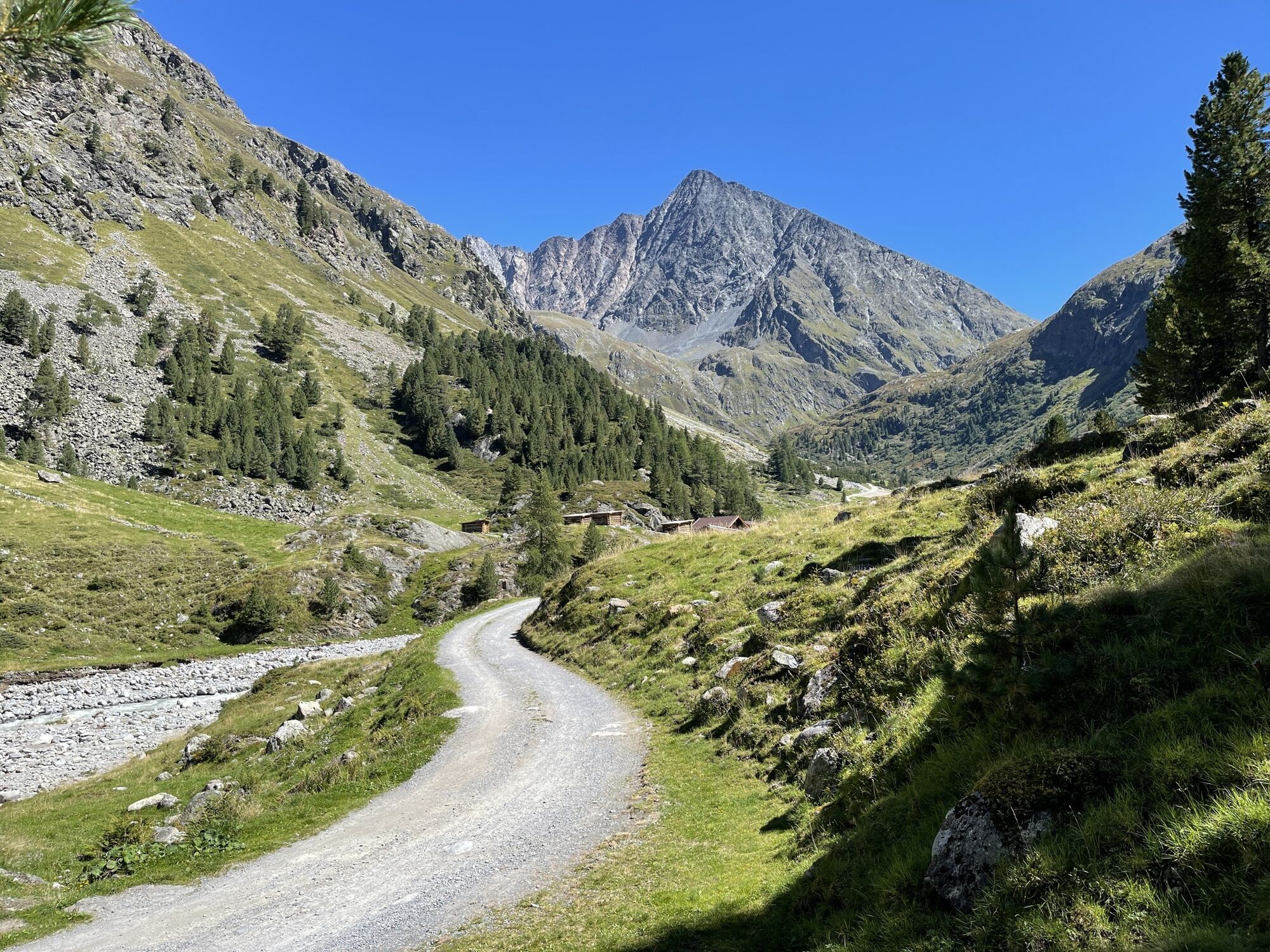
The starting point is the parking lot at the outskirts of Gries. From here, follow a gently ascending forest road in the direction of Sulztalalm. Passing the Vögelas bridge, you soon reach the junction...
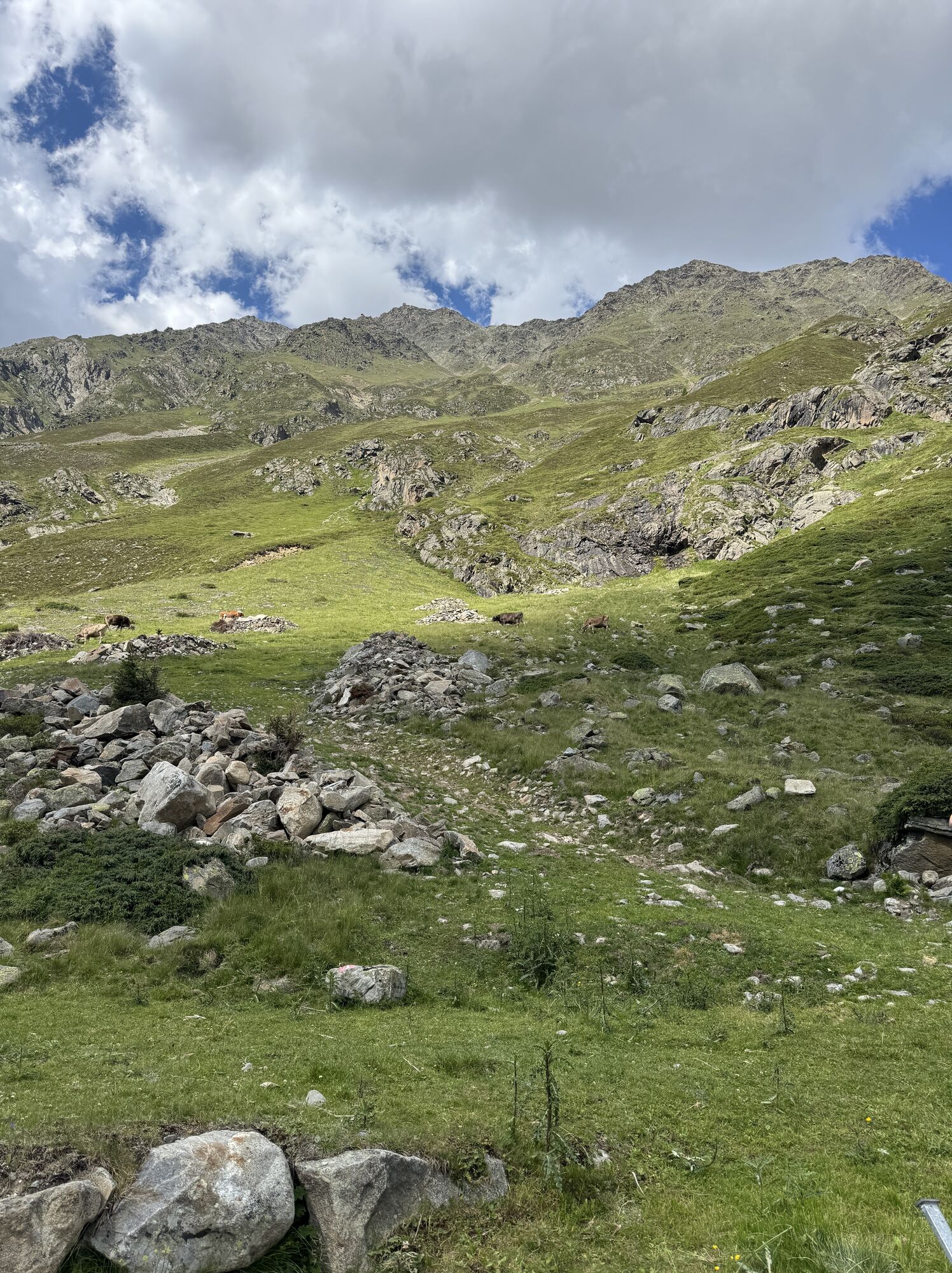
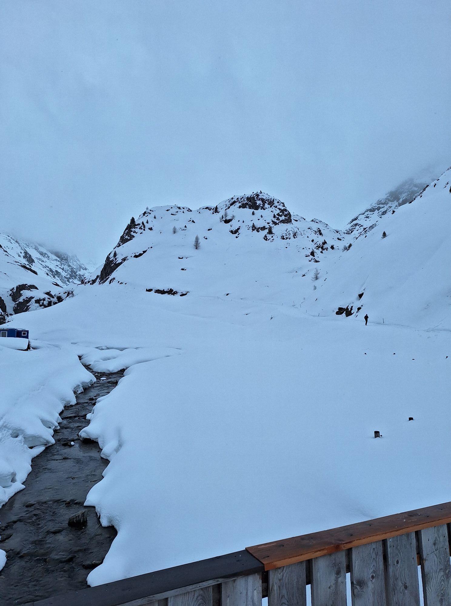
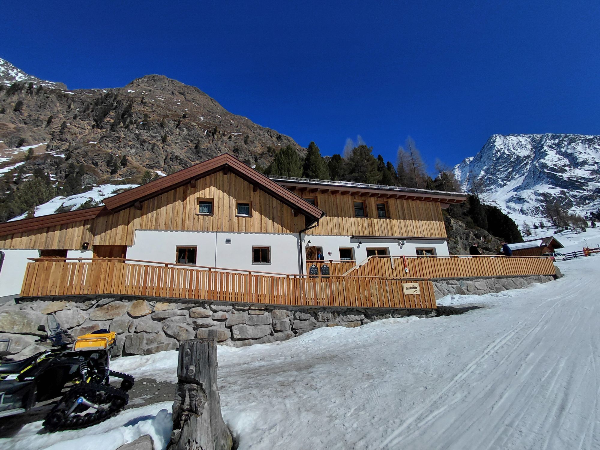
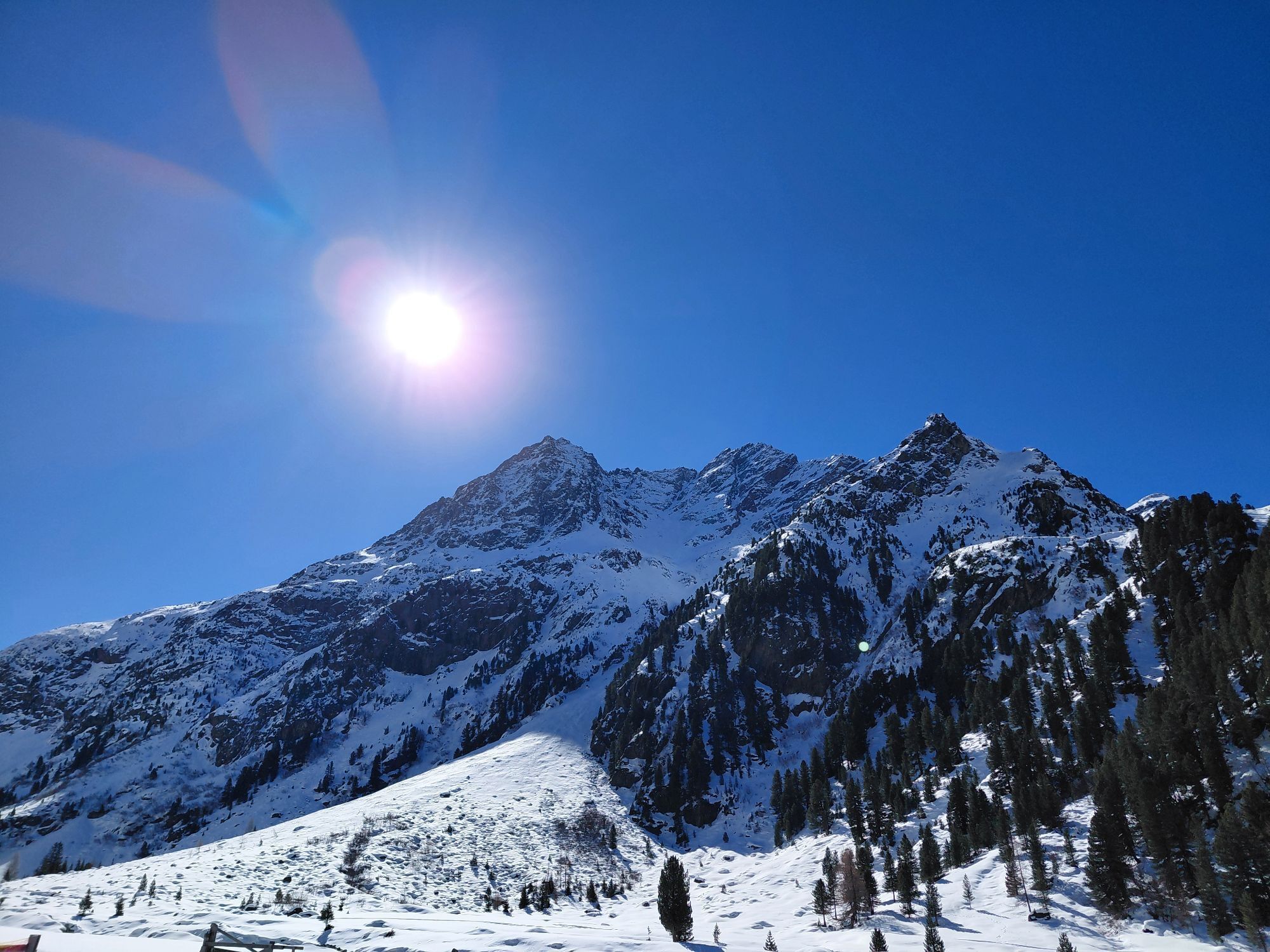
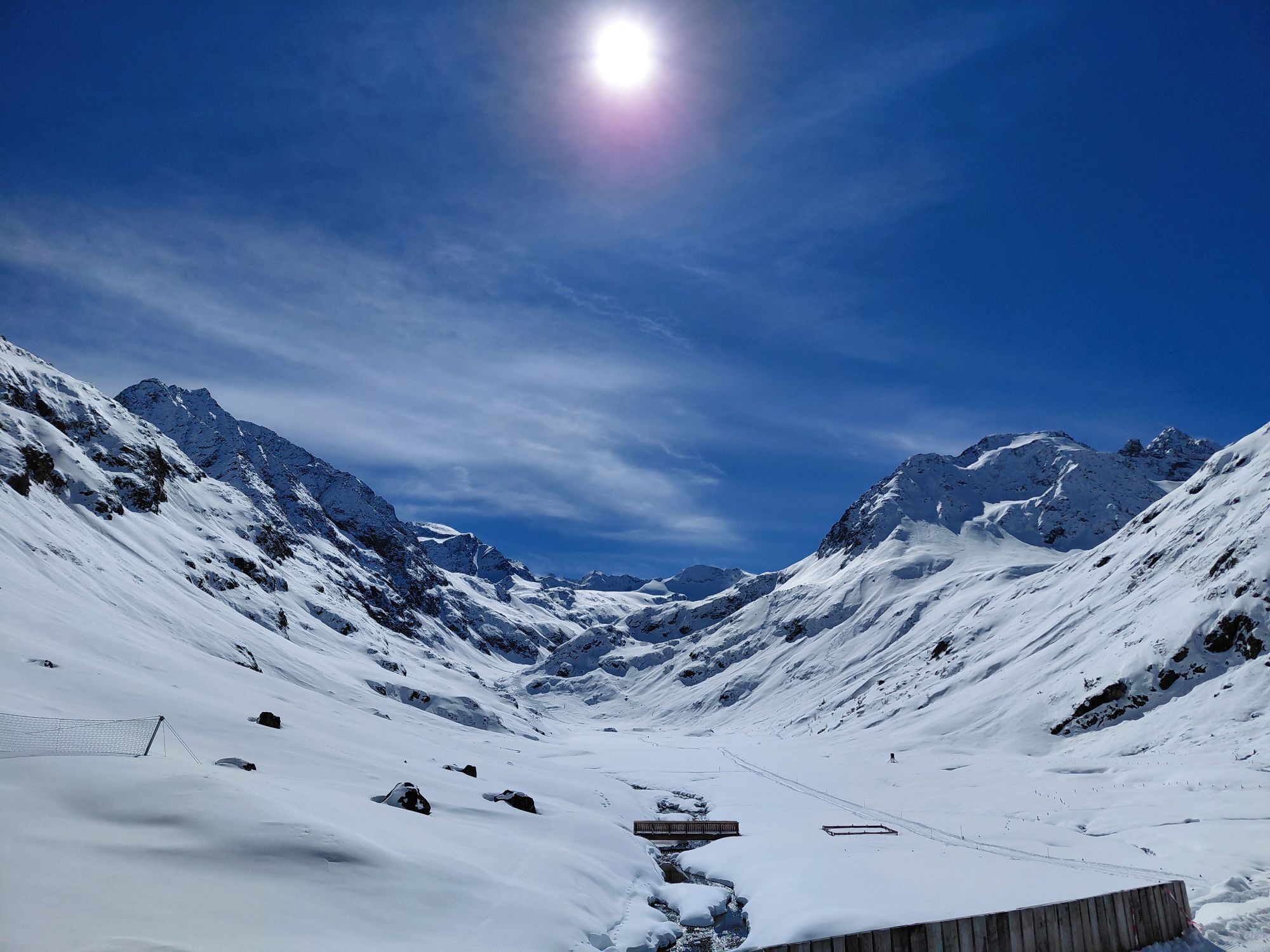
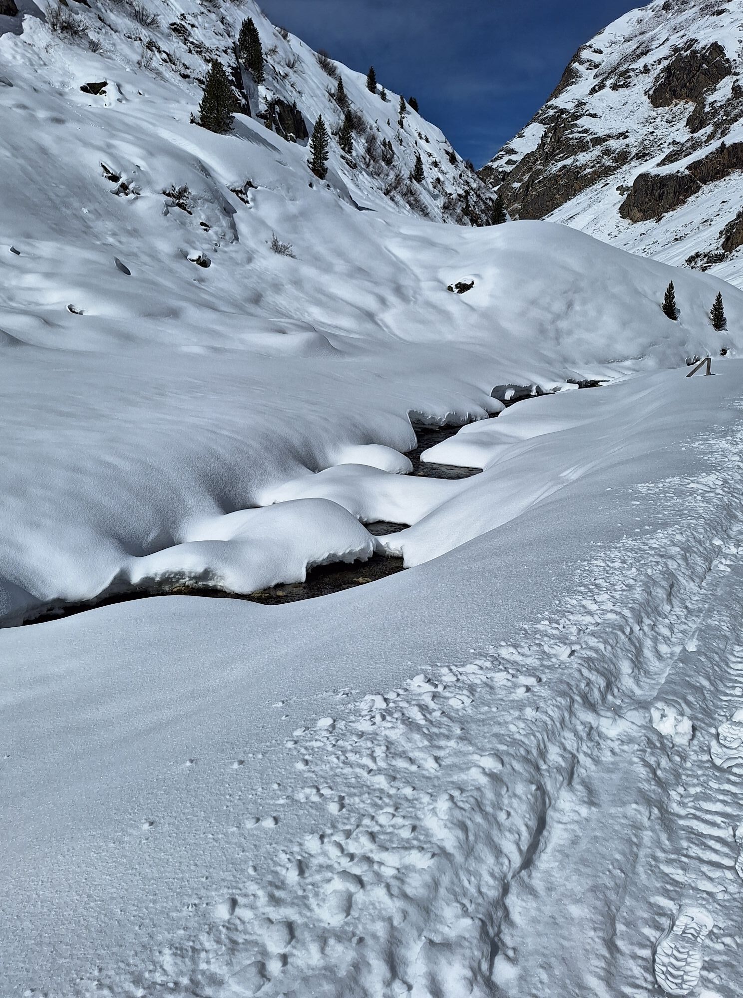
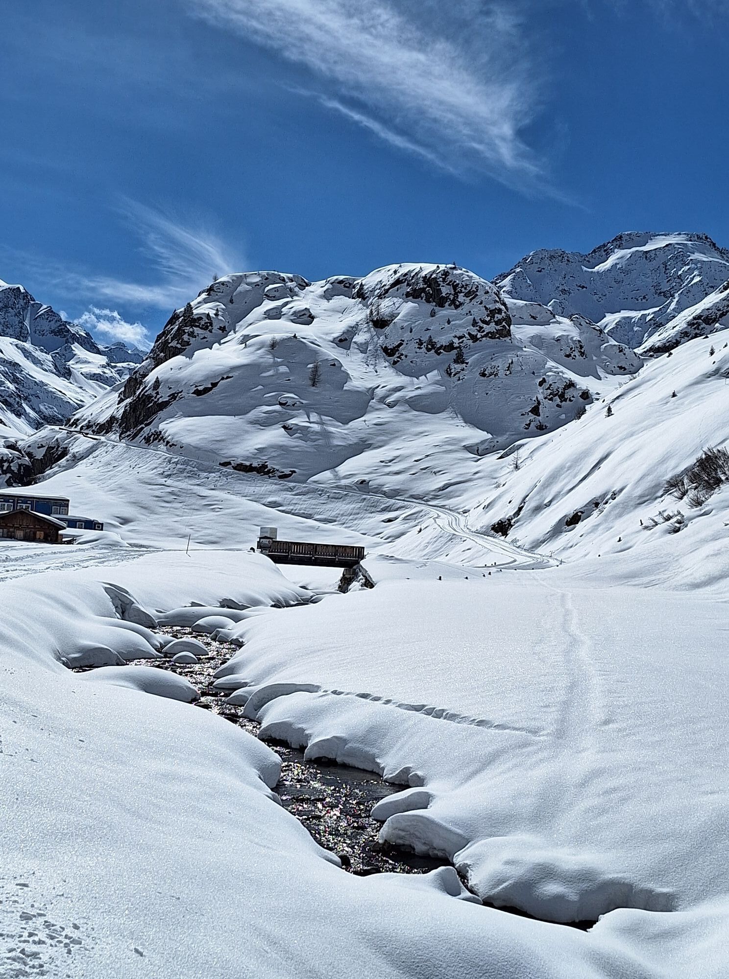
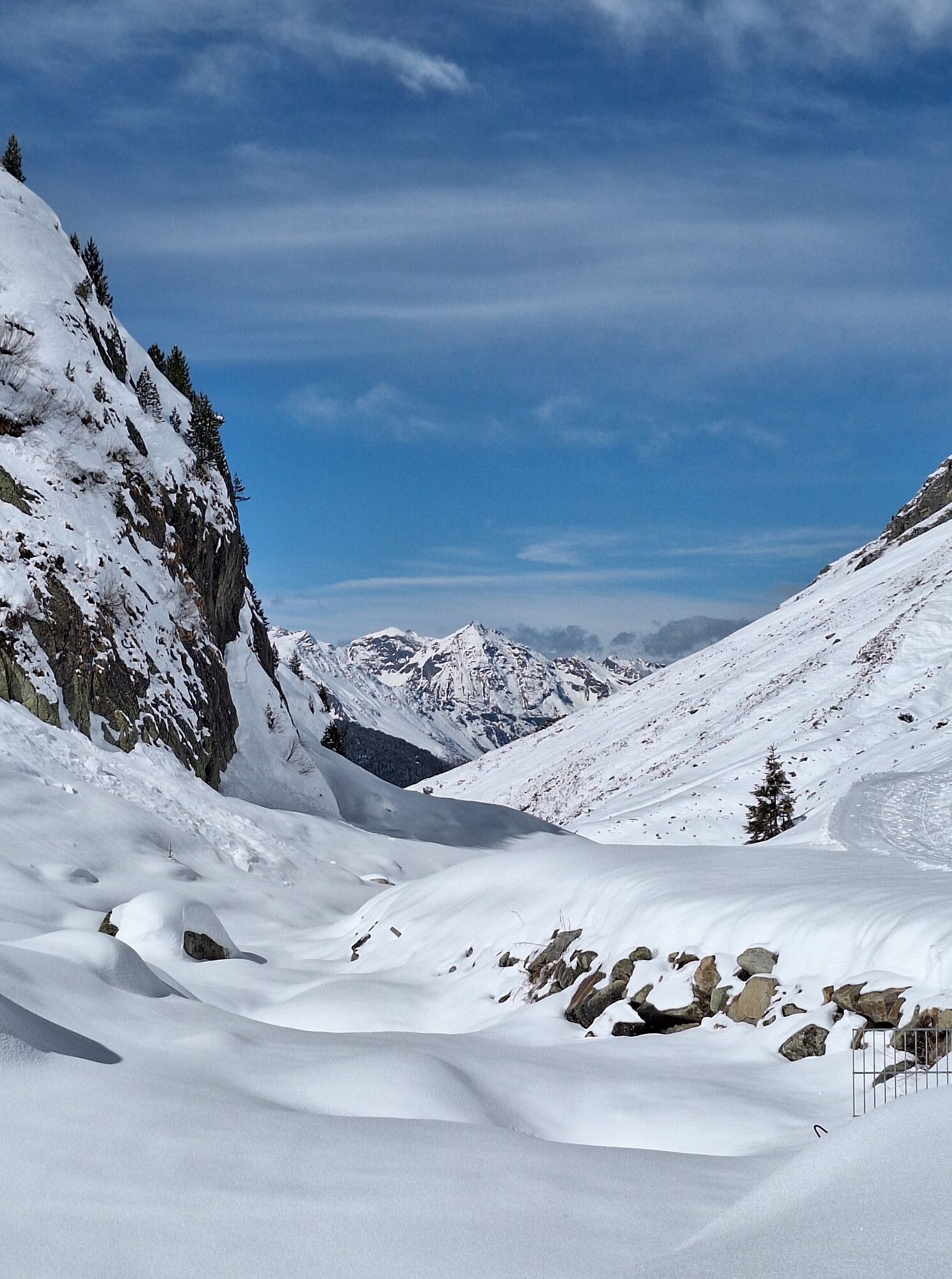
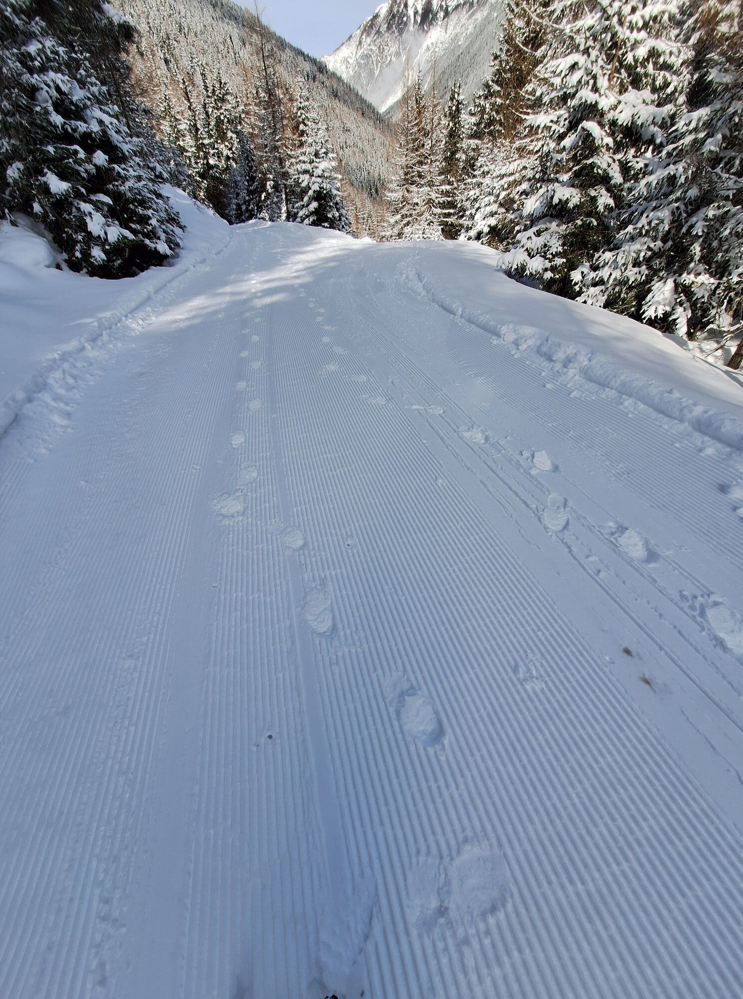
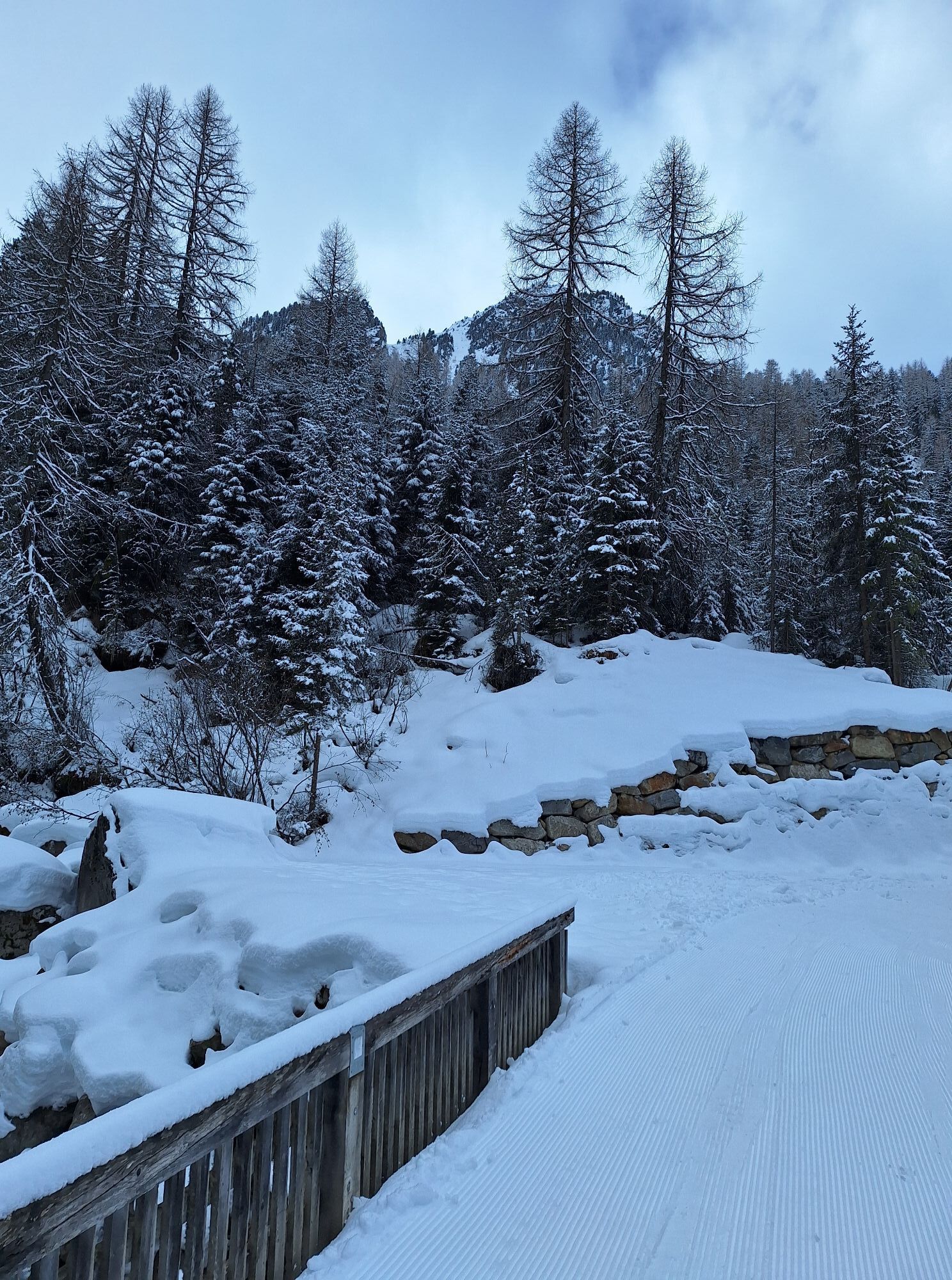
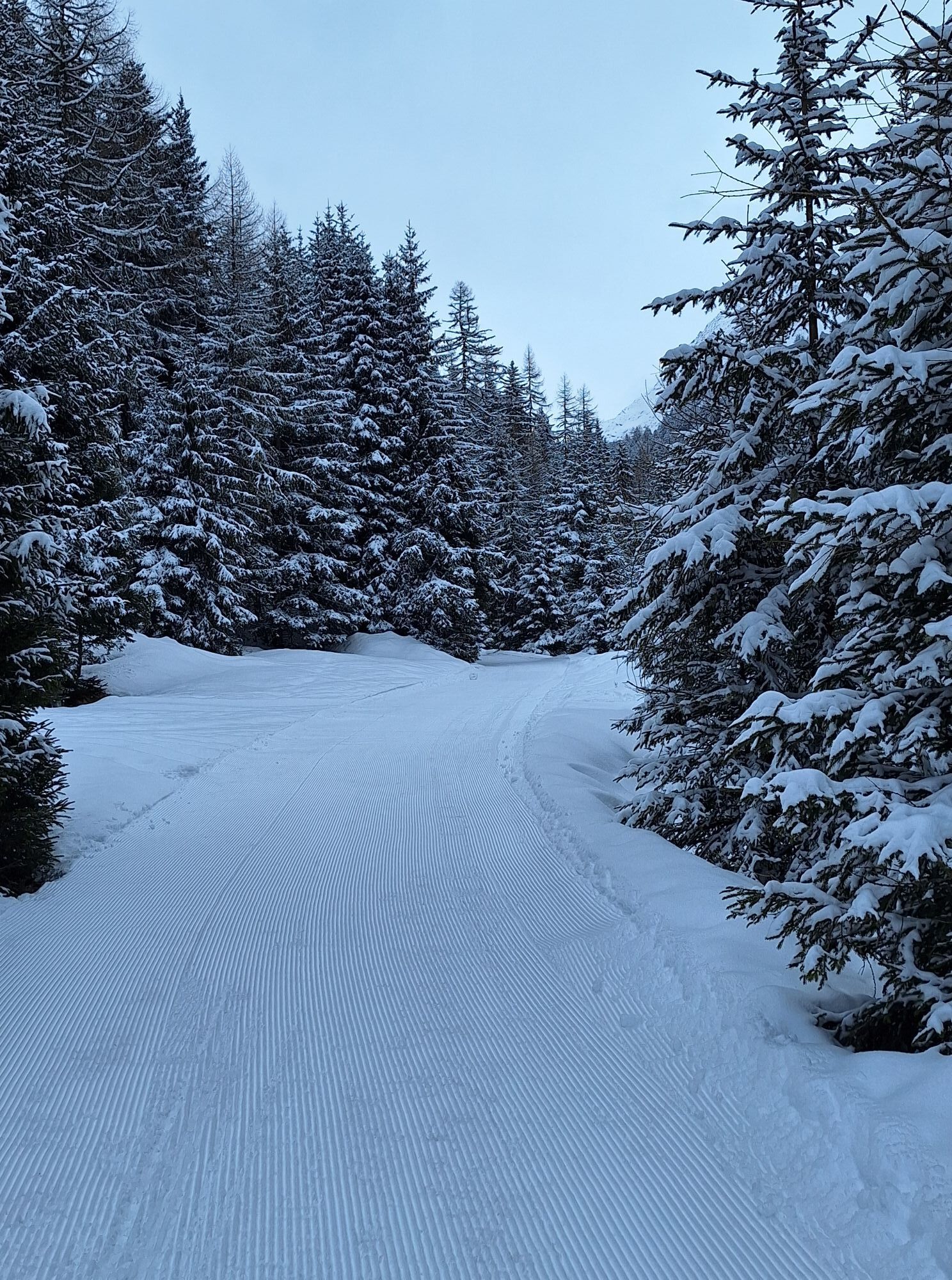
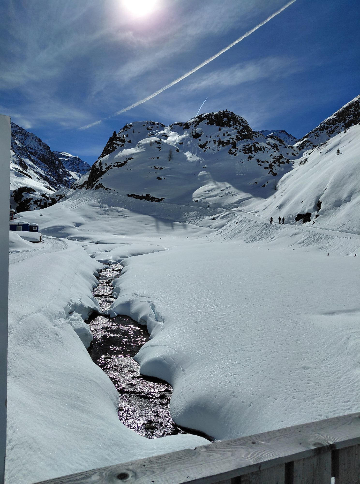
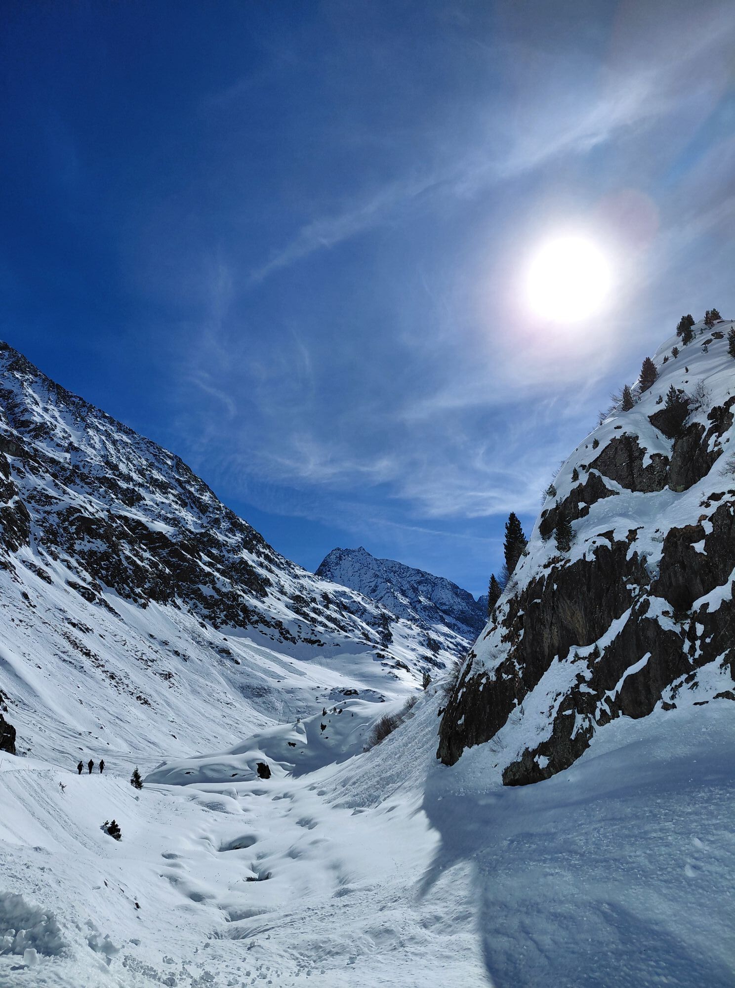
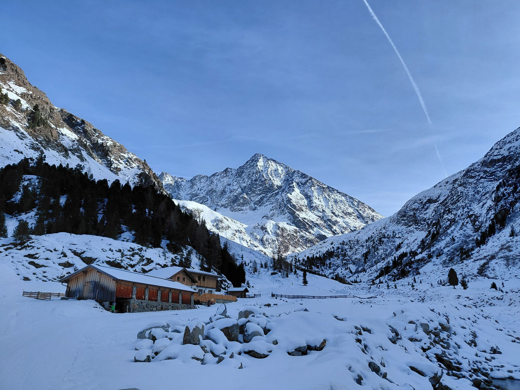
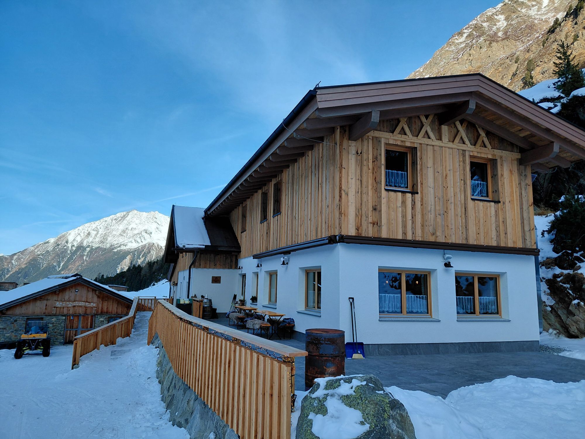
The starting point is the parking lot at the outskirts of Gries. From here, follow a gently ascending forest road in the direction of Sulztalalm. Passing the Vögelas bridge, you soon reach the junction where you follow the forest road to the Sulztalalm. Once there, continue hiking towards the Amberger Hut. The last 20 minutes of the route are steeper, but shortly afterward you reach the Amberger Hut. Just below the hut is a small lake with a sulfur spring.

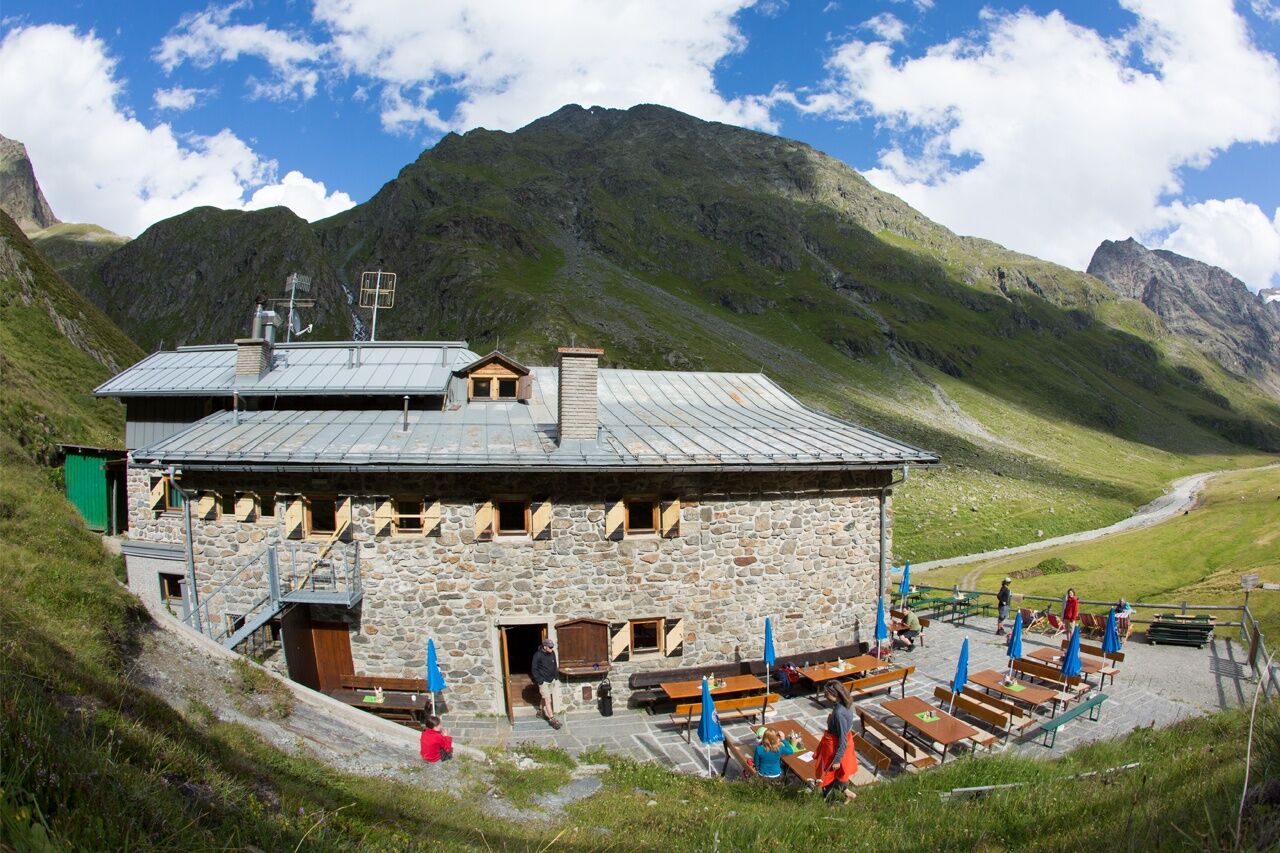
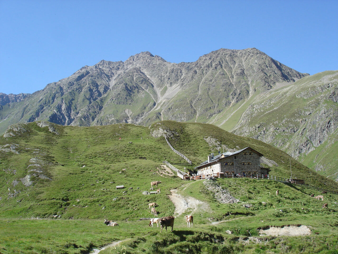

Start at the outskirts of Gries, a gently ascending forest road leads to the Vorderen Sulztalalm. Then continue past the Hintere Sulztalalm; the last 20 minutes are quite steep, leading to the Amberger Hut.
Appropriate equipment such as breathable and weather-appropriate outdoor clothing is required for all hikes and routes. Carrying a first aid kit, a mobile phone, and possibly a hiking map, as well as sufficient provisions for hikes without a place to stop, is necessary.
Moderate mountain trail; suitable for sure-footed and experienced mountain hikers; good physical condition, mountain experience, and mountain equipment (see under equipment) are necessary. Please observe the current weather report.
Driving to the ÖTZTAL
Traveling by car leads vacationers via the Inntal to the valley entrance and then along the Ötztal. In addition to toll highways, country roads can also be used. You can quickly and conveniently determine your route with the route planner. To the route planner: https://www.google.at/maps
Public transportation
Travel comfortably and safely by train. The final stop or exit point is the ÖTZTAL station. Then you can travel conveniently and quickly with public bus services or local taxi companies through the entire valley to your desired destination. The current bus timetable is available at: http://fahrplan.vvt.at
The following parking options are available:
Parking lot at the outskirts of Gries - paidMore information about hiking in the Ötztal can be found here.
Bronze relief section of the Ötztal Nature Park at the start of the trail: Here you can learn about the habitat "Wild Water" or the history of Gries.



Kamery internetowe z trasy

Aktywności na trasie
-

Längenfeld, Tirol/Österreich
01.09.2026 – Wędrówka -
Längenfeld
26.08.2026 – Wędrówka -

Amberger Hütte (Gries)
14.08.2026 – Wędrówka -
Längenfeld, Tirol/Österreich
11.08.2026 – Wędrówka -
Längenfeld, Tirol/Österreich
09.08.2026 – Wędrówka -

Längenfeld, Tirol/Österreich
08.08.2026 – Wędrówka -
Längenfeld, Tirol/Österreich
04.08.2026 – Wędrówka -

Längenfeld, Tirol/Österreich
09.07.2026 – Wędrówka -
Längenfeld, Tirol/Österreich
14.06.2026 – Wędrówka -
Längenfeld, Tirol/Österreich
23.04.2026 – Wędrówka -

Längenfeld, Tyrol/Austria
06.04.2026 – Wycieczka narciarska -
Längenfeld, Tirol/Österreich
06.04.2026 – Wycieczka narciarska -

Längenfeld, Tirol/Österreich
20.03.2026 – Wędrówka -
Längenfeld, Tirol/Österreich
19.03.2026 – Wędrówka -
Längenfeld, Tirol/Österreich
17.03.2026 – Wędrówka -
Längenfeld, Tirol/Österreich
16.03.2026 – Wędrówka -
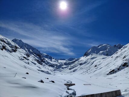
Längenfeld, Tirol/Österreich
16.03.2026 – Wędrówka -

Amberger Hütte, Tyrol/Autriche
10.03.2026 – Wędrówka zimą -
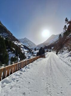
Längenfeld, Tirol/Österreich
08.03.2026 – Wędrówka -
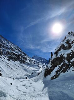
Längenfeld, Tirol/Österreich
28.02.2026 – Wędrówka
Popularne wycieczki w okolicy
-
4,7
Winnebachsee Hut – Längenfeld/Gries
średniWędrówka 4,74 km -
4,7
Winter circular route Brandalm/Burgstein - Längenfeld 204
średniWędrówka zimą 5,44 km -
4,4
Hike Stuibenfall - Umhausen
światłoWędrówka 2,95 km -
4,8
Wilde Wasser Weg - Fortgeschritten
średniWędrówka 12,0 km -
5,0
Dresdner hütte - sulzenauerhütte
średniWędrówka 12,1 km -
4,4
Stuibenfall Umhausen circular hike
światłoWędrówka 9,32 km -
4,5
KÜHTAI: Kühtai (2020) - Sulzkogel (3016) - Mute (2398)
średniWycieczka wysokogórska 15 km -
4,5
Hohe Geige über Gawinden und den Westgrat
ciężkiWędrówka 14,3 km -
4,4
Rundwanderung Hängebrück3
światłoWędrówka 6,32 km -
4,3
Lampsenspitze, Sellrain, Tirol
średniWycieczka narciarska 4,97 km

Wędrówki i tropienie


Nie przegap ofert i inspiracji na następne wakacje
Twój adres e-mail została dodana do listy mailingowej.





