






Circular hike Bergmahderweg - Niederthai

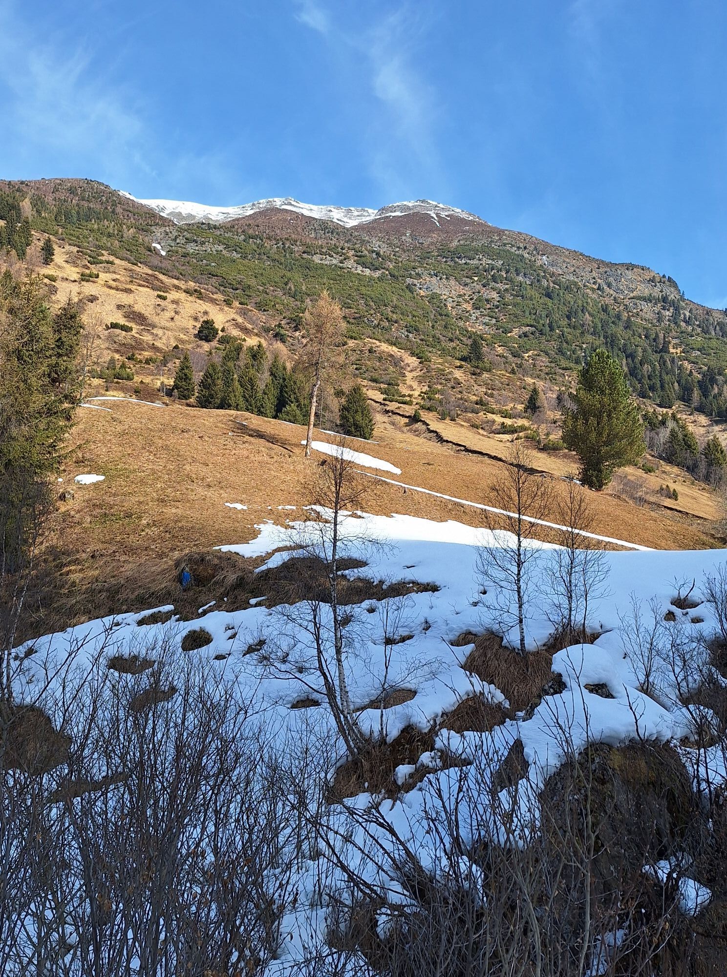
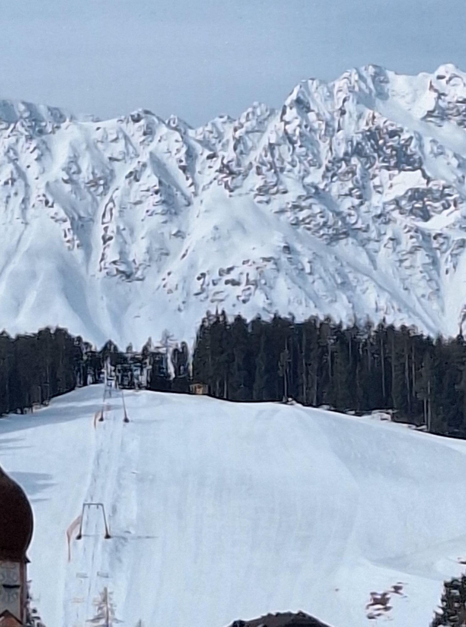
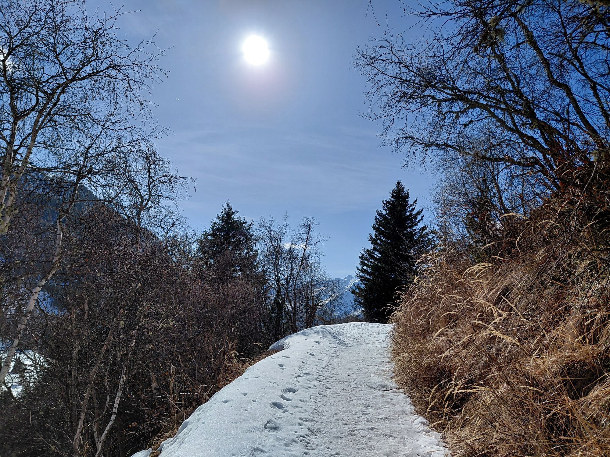
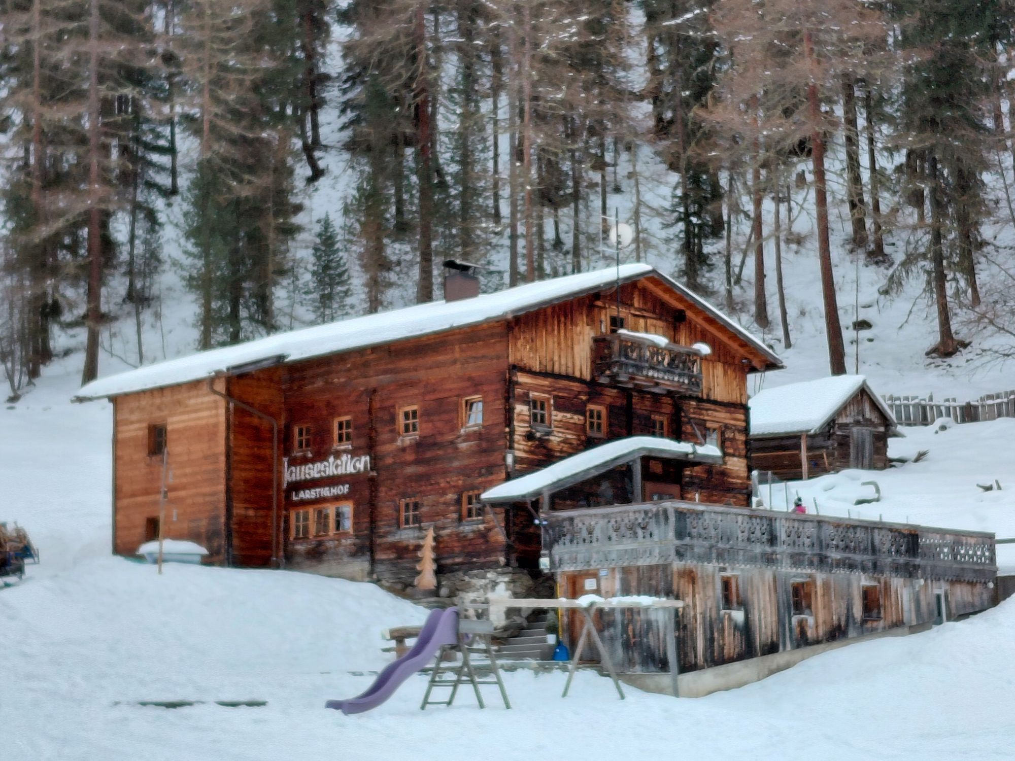
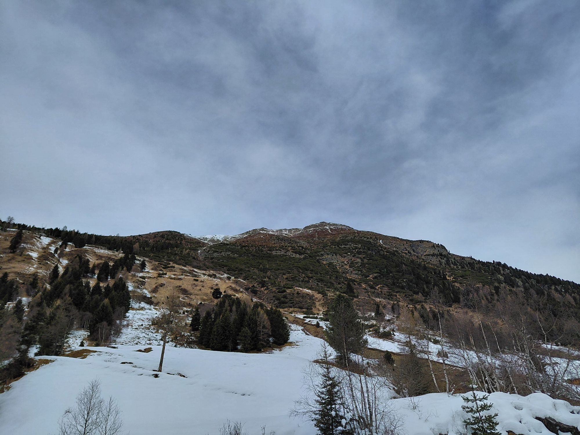
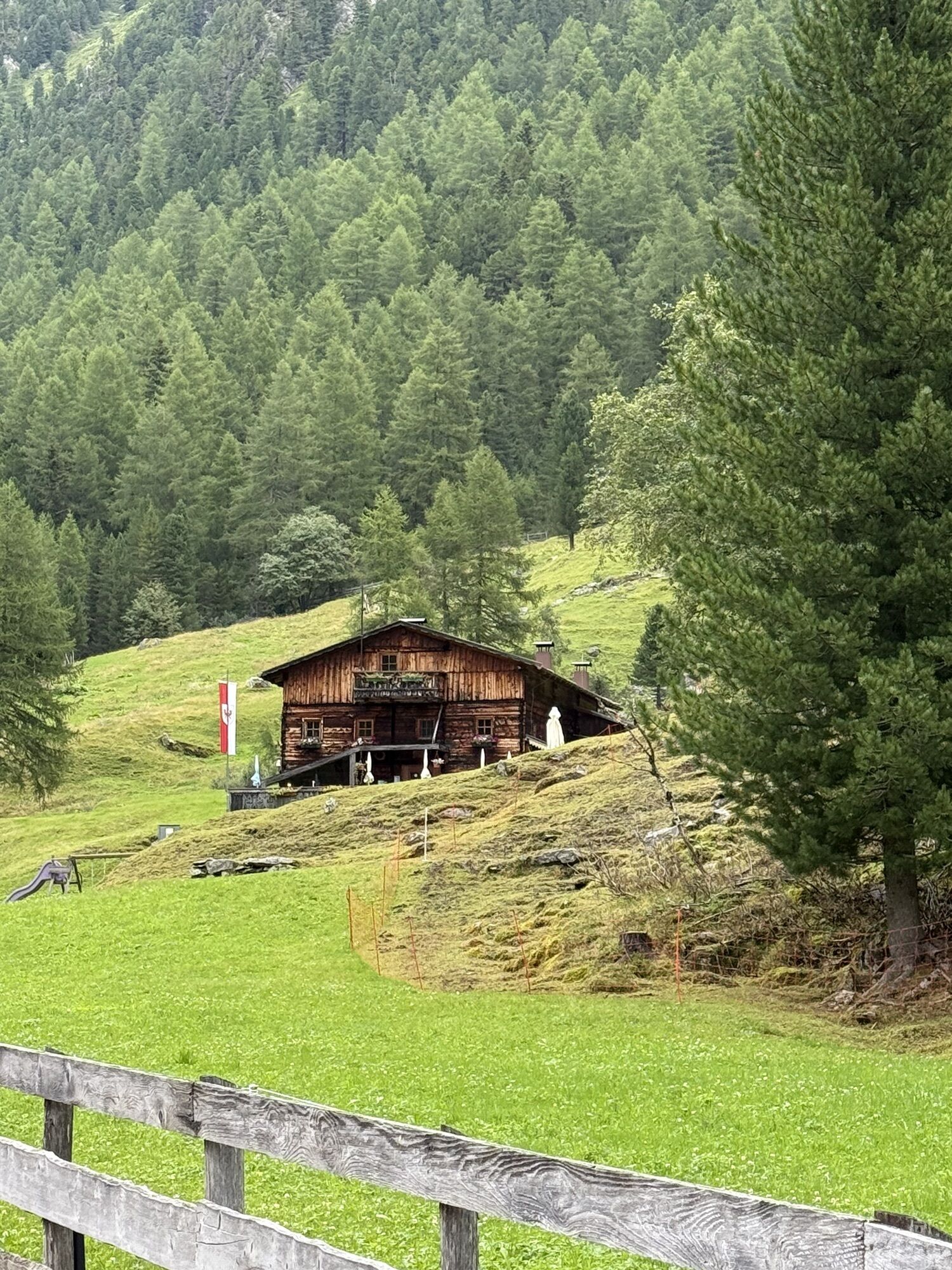
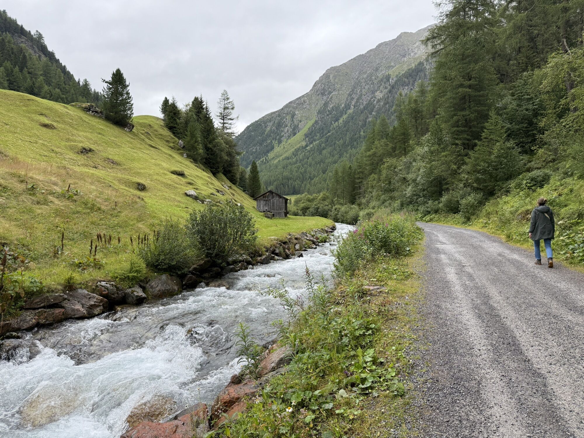
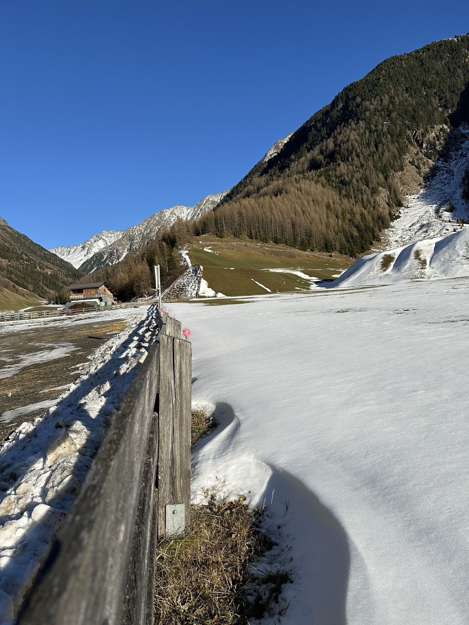
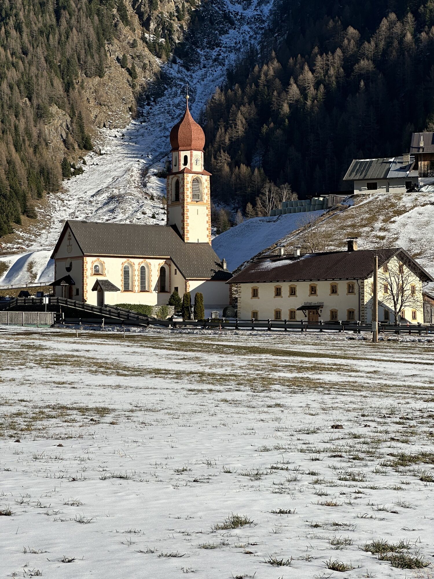
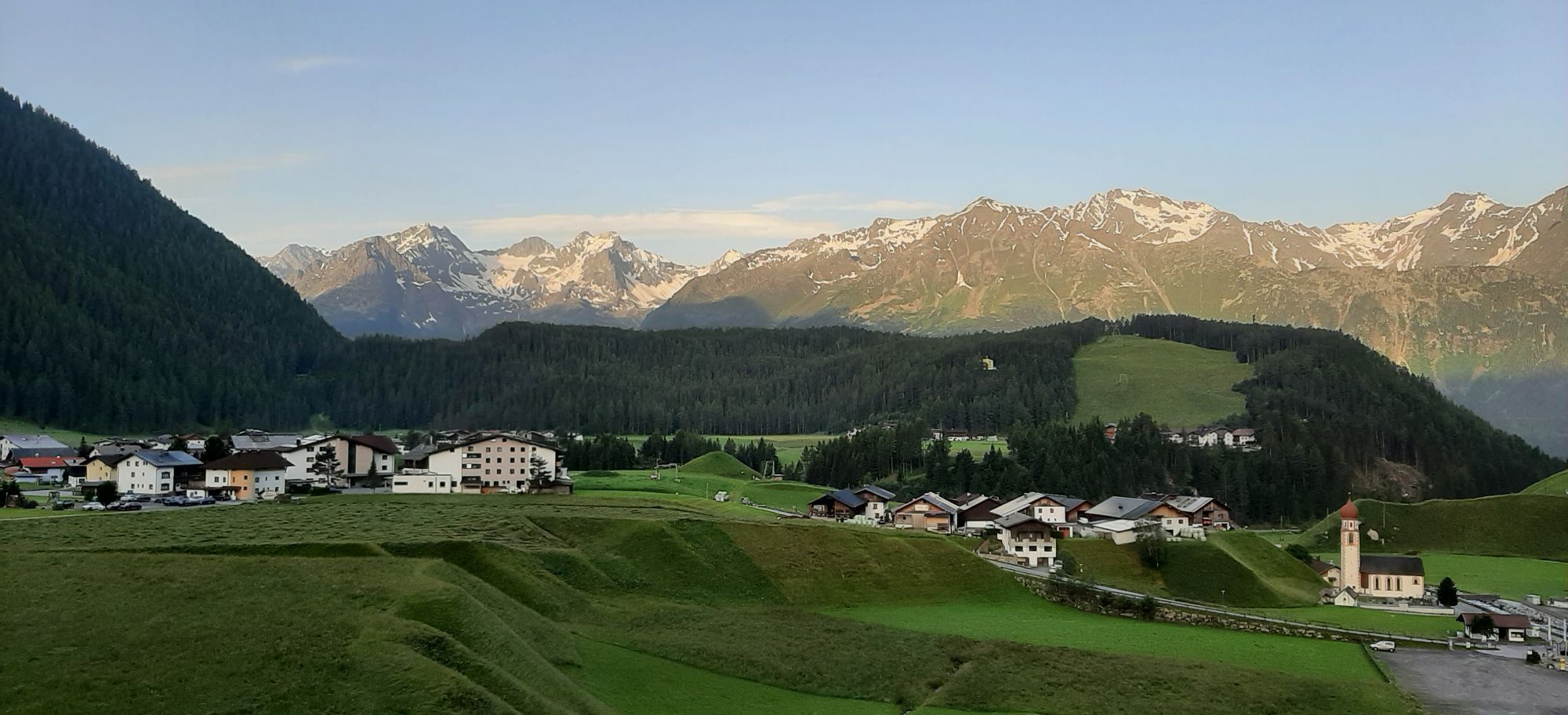
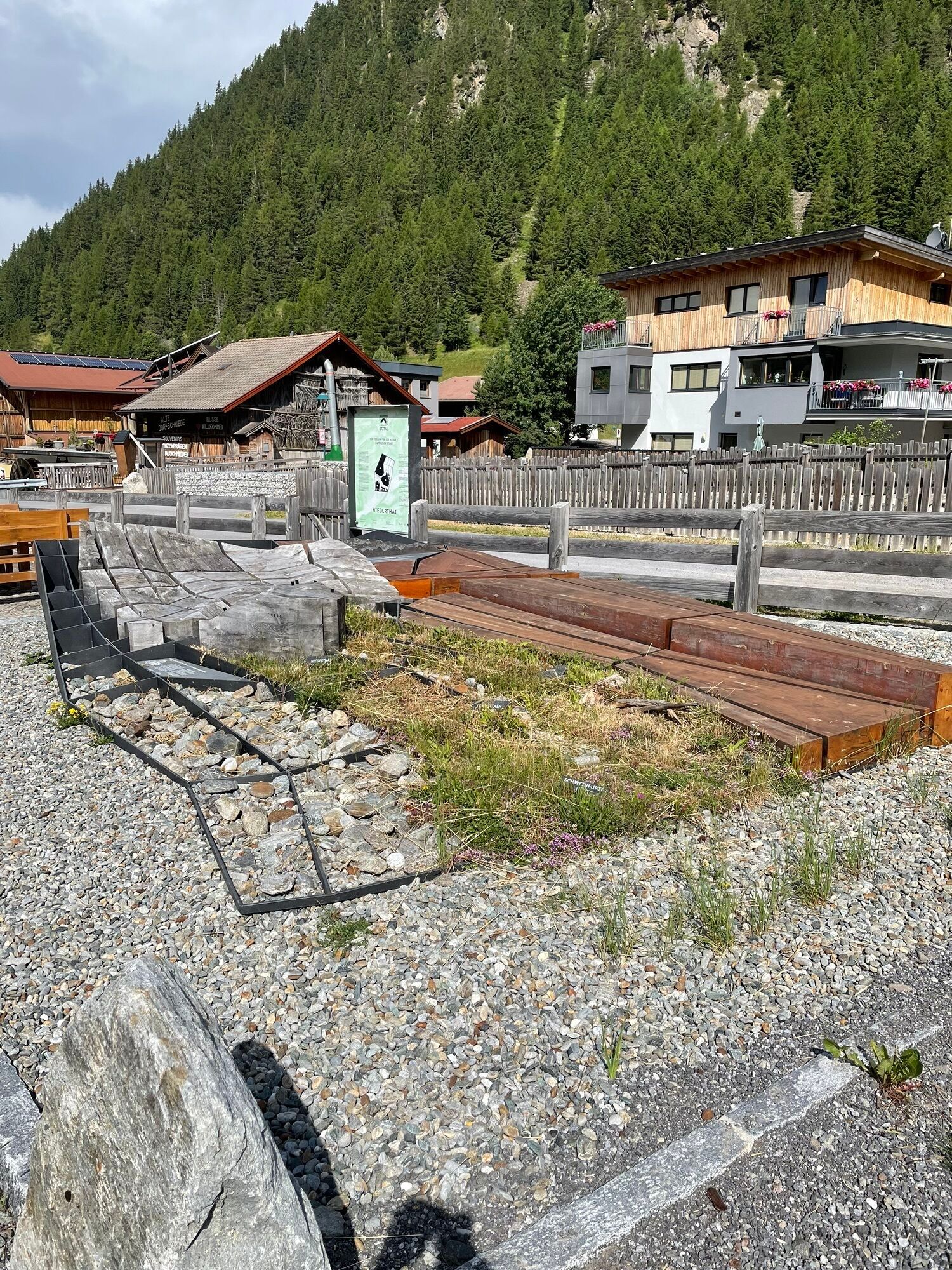
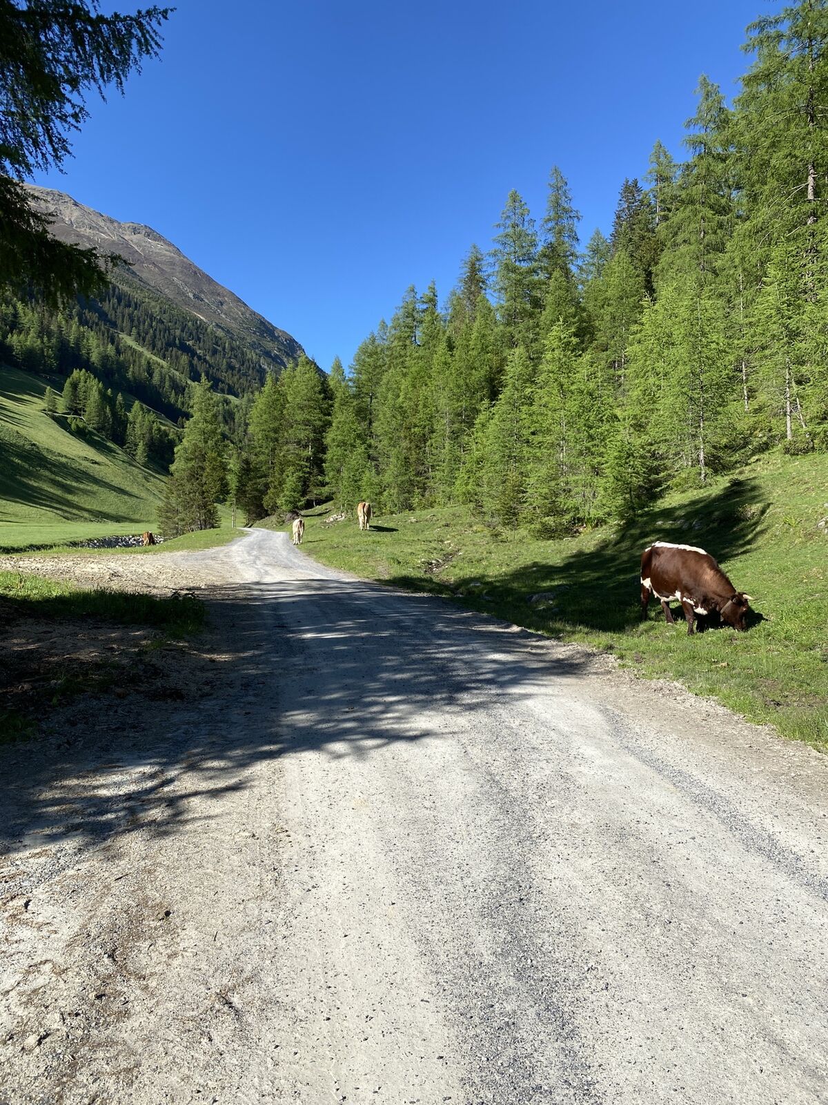
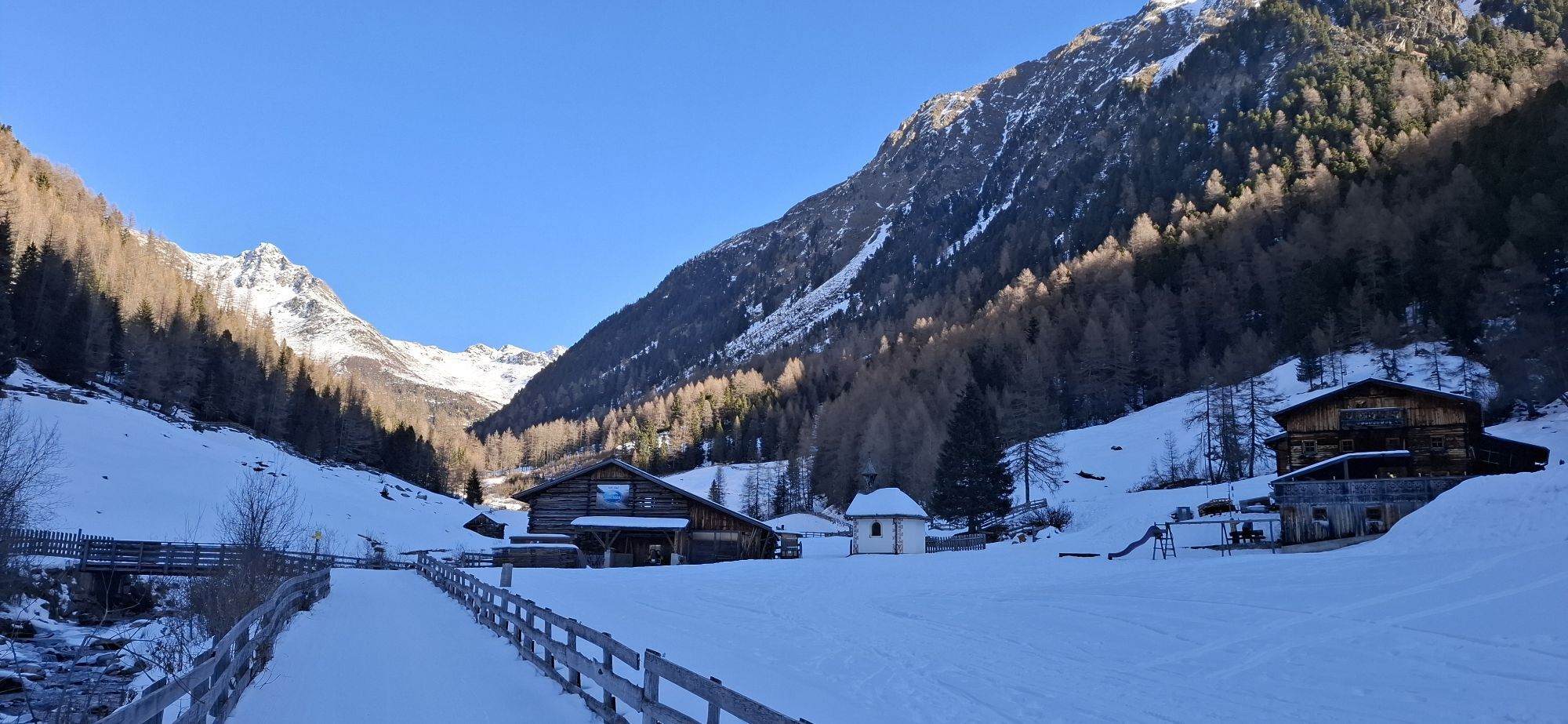
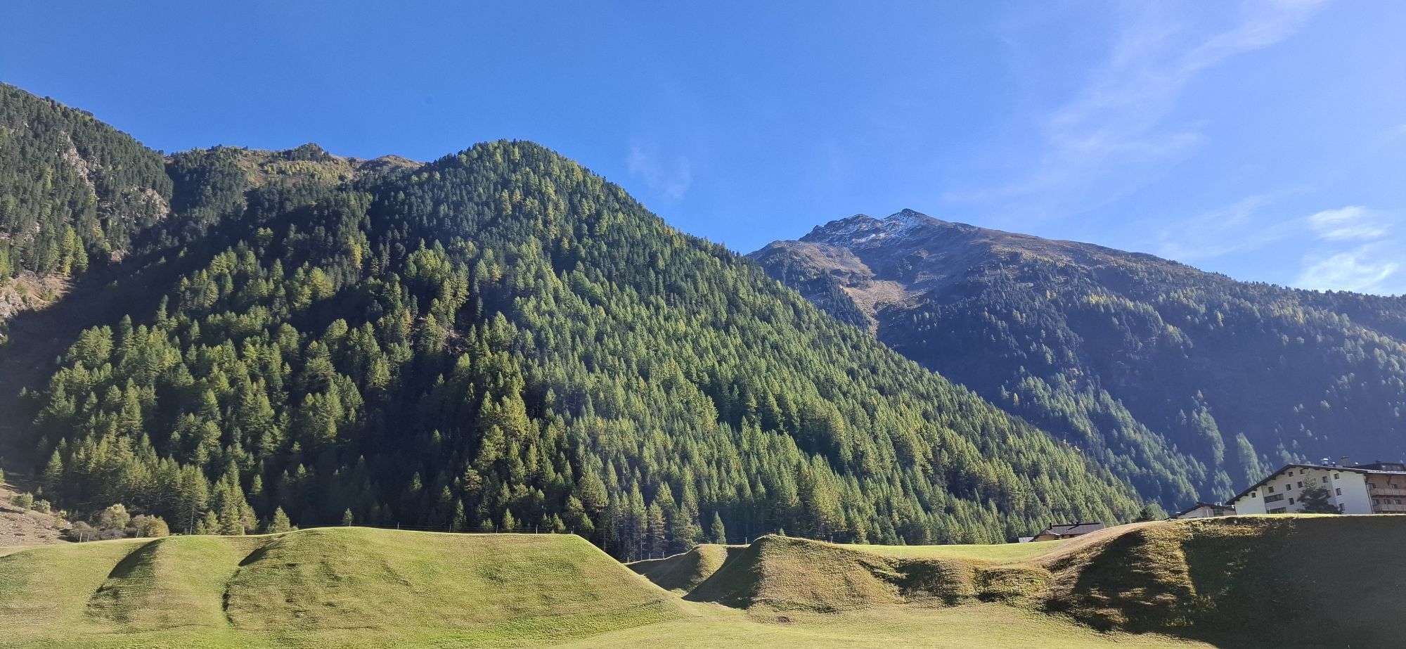
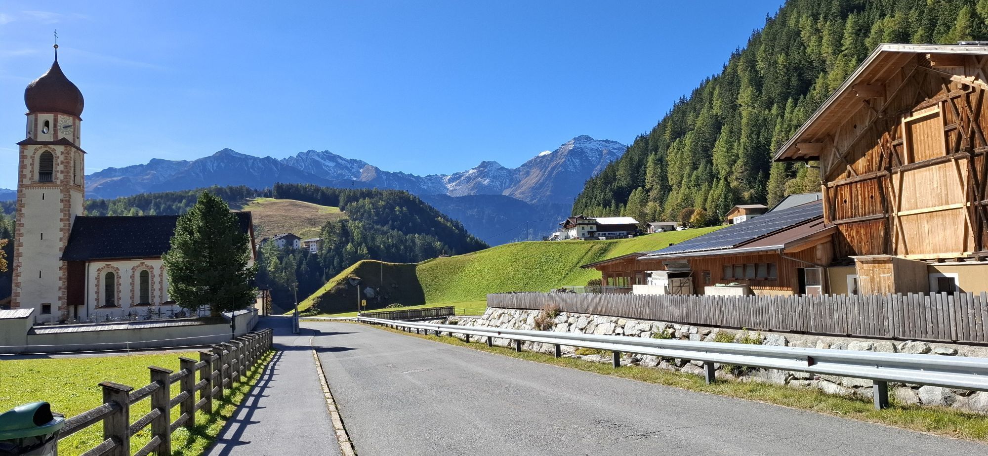
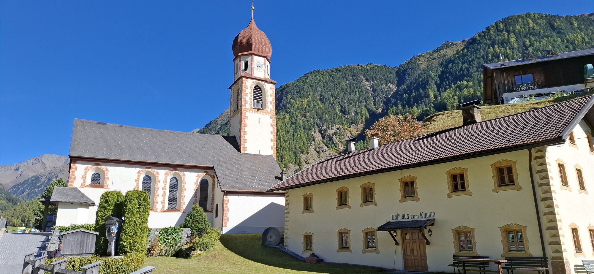
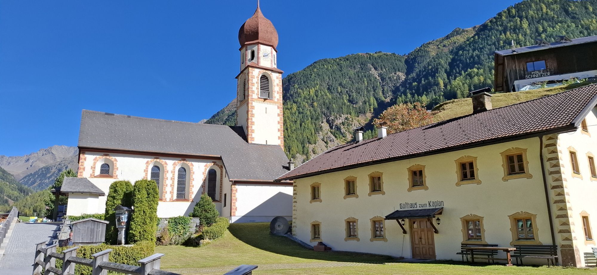

The hike begins in Niederthai at the Sennhof parking lot. From there, turn right over the wooden bridge towards the district of Höfle and after about 200 meters turn right into Bergmahderweg. You walk...
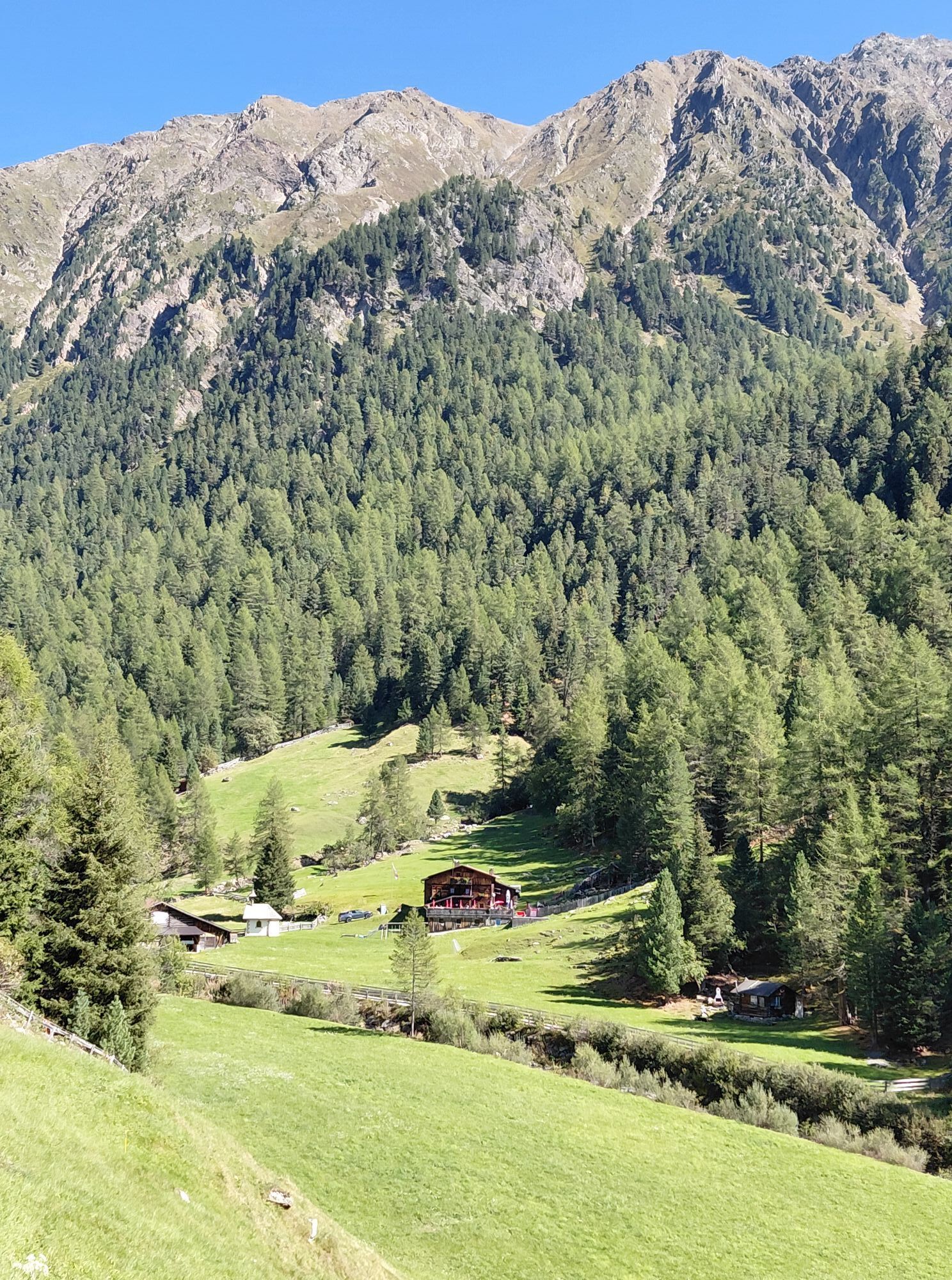
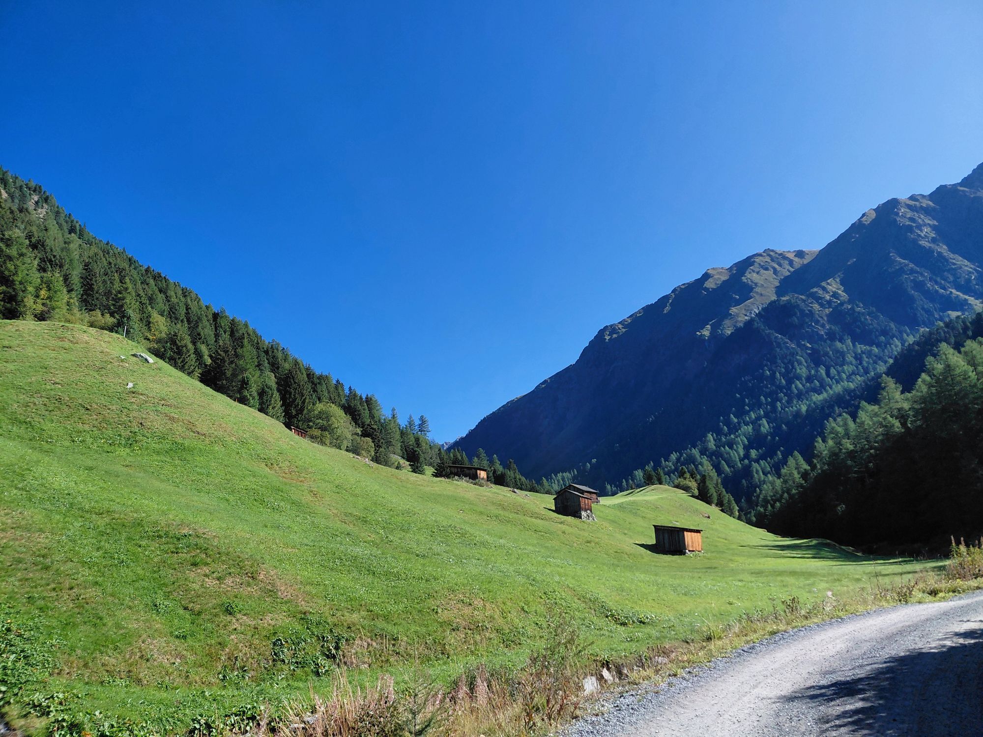
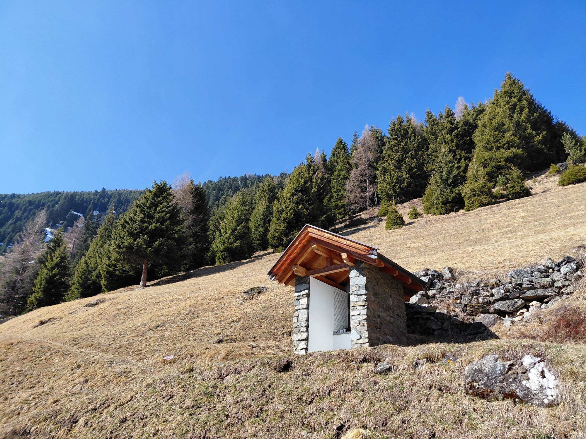
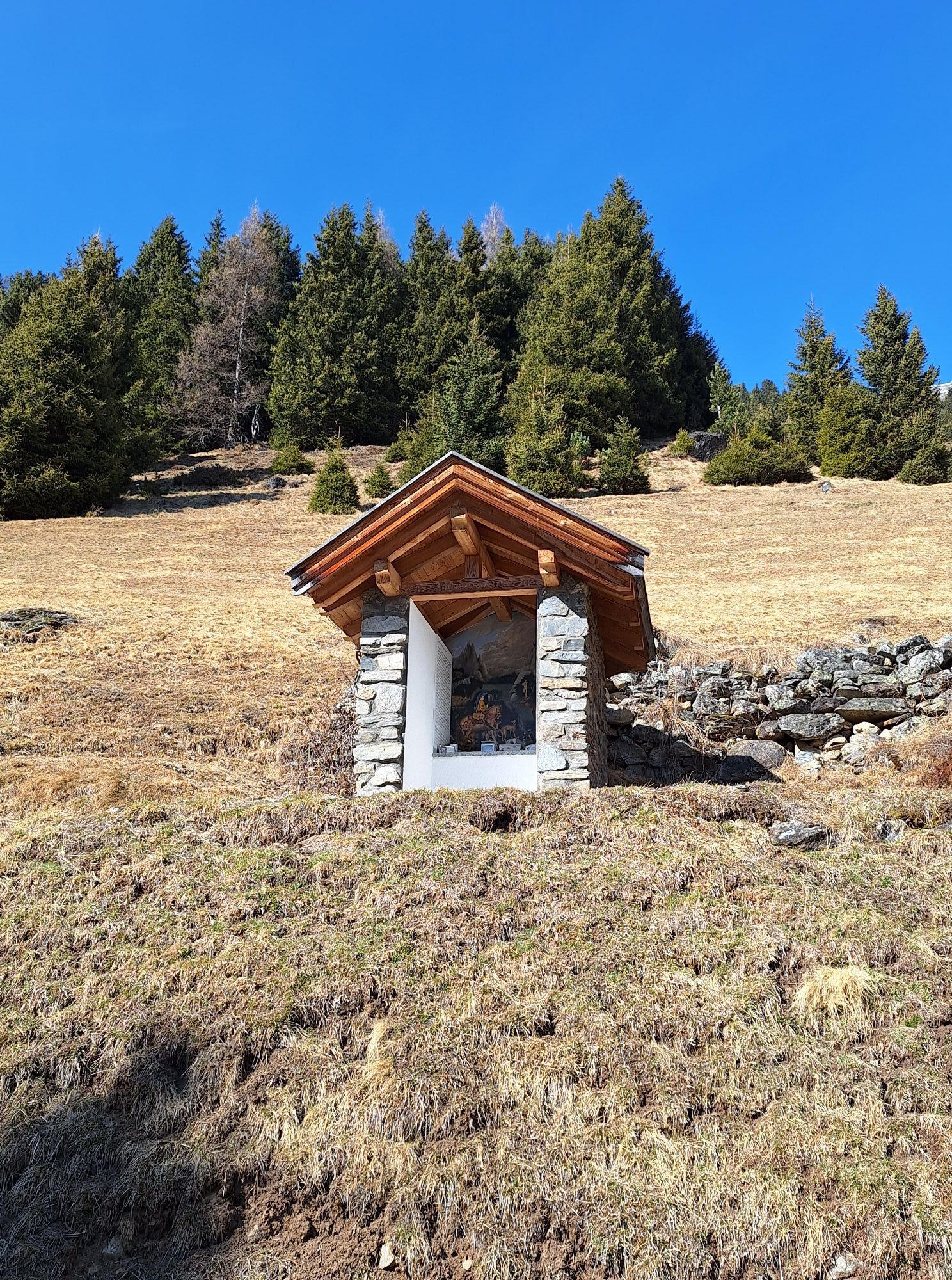
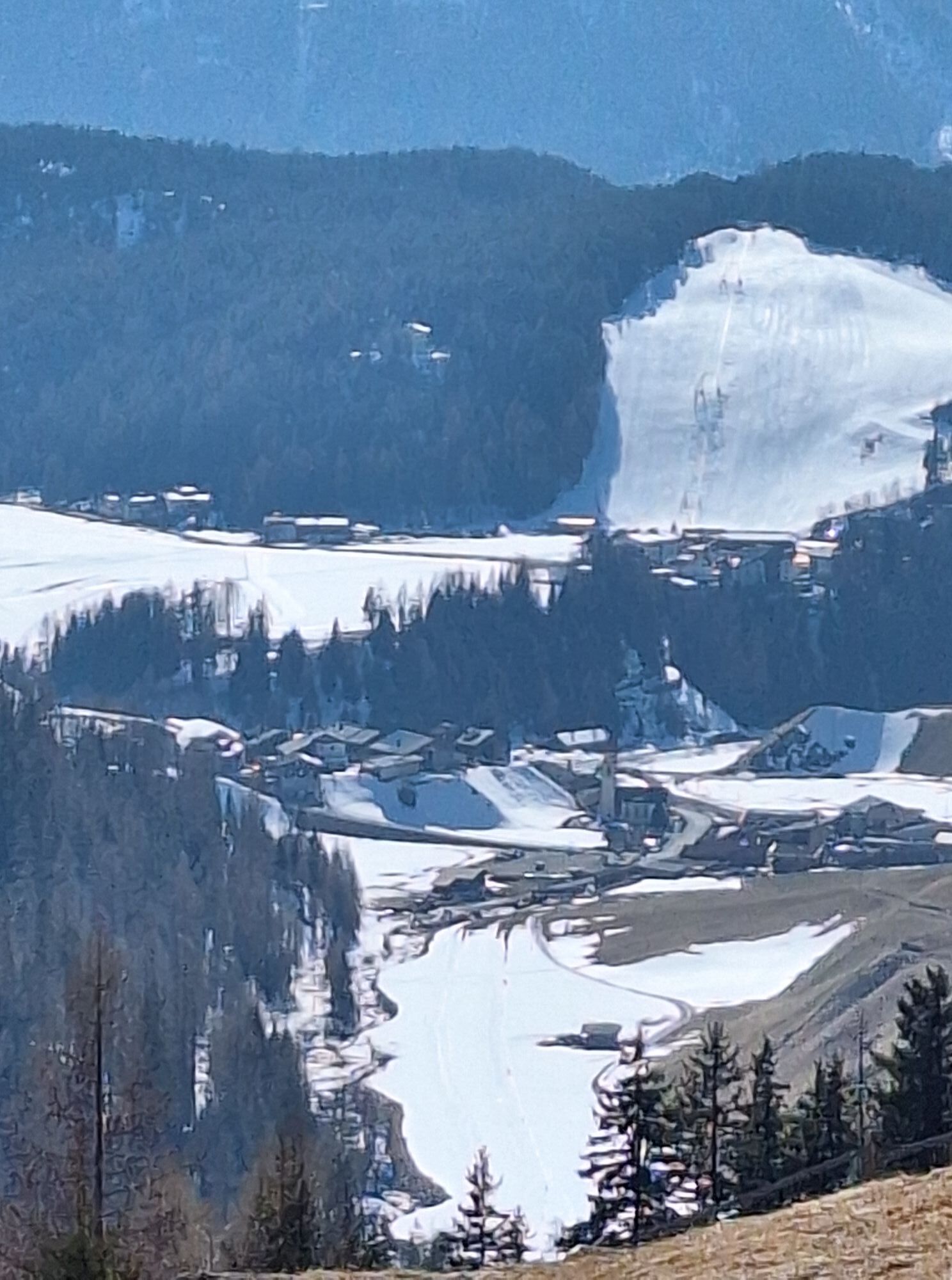
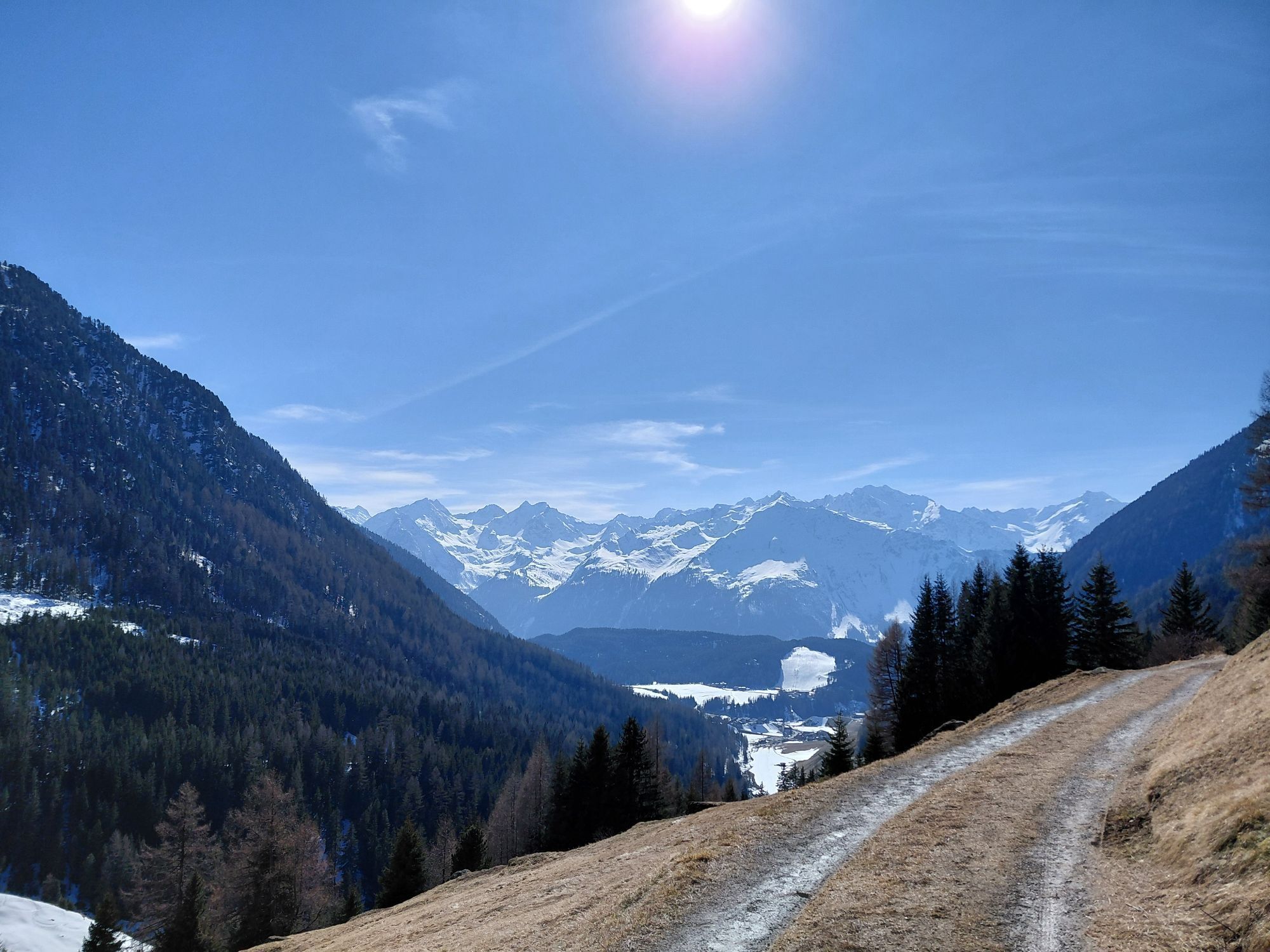
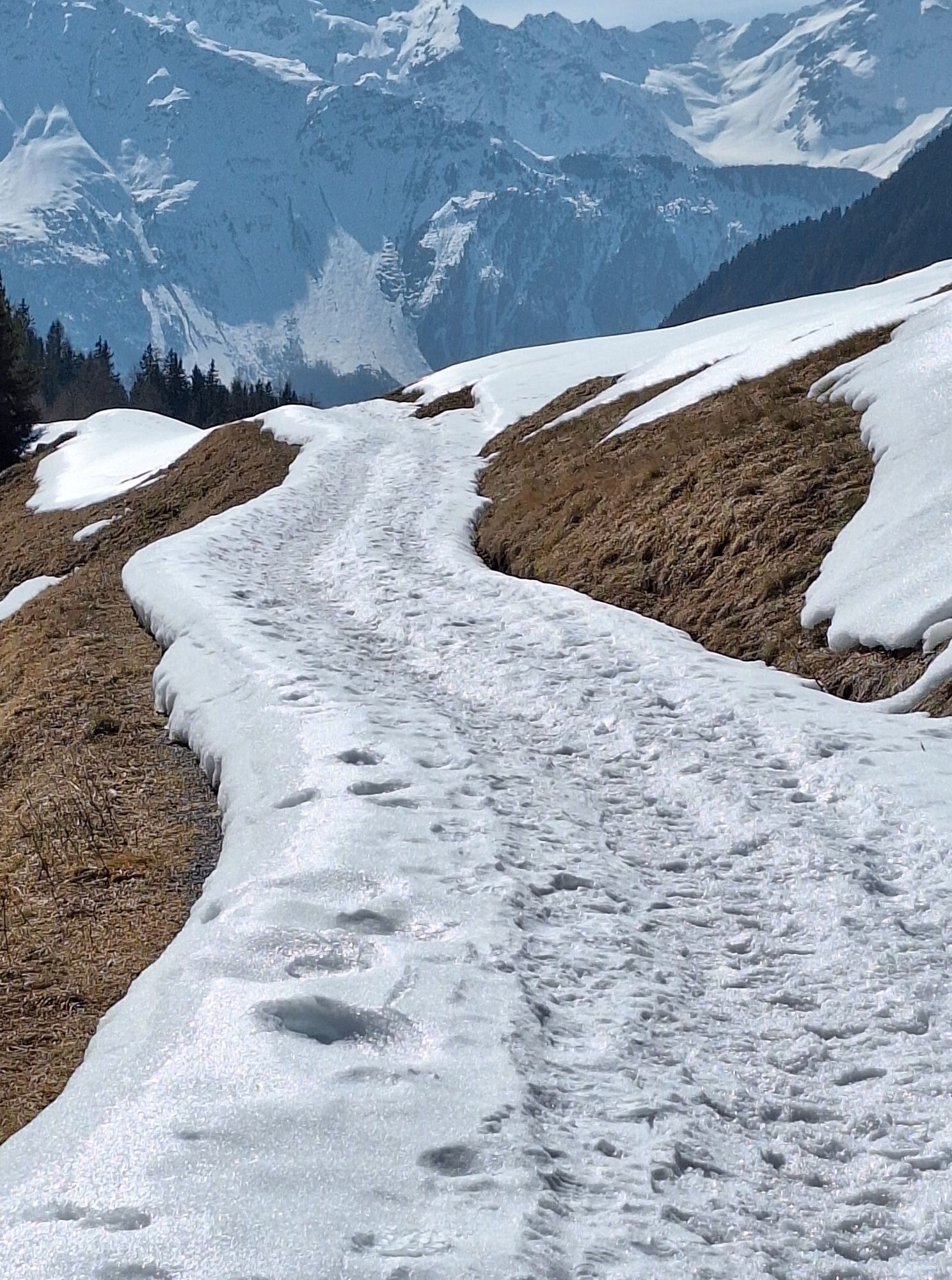
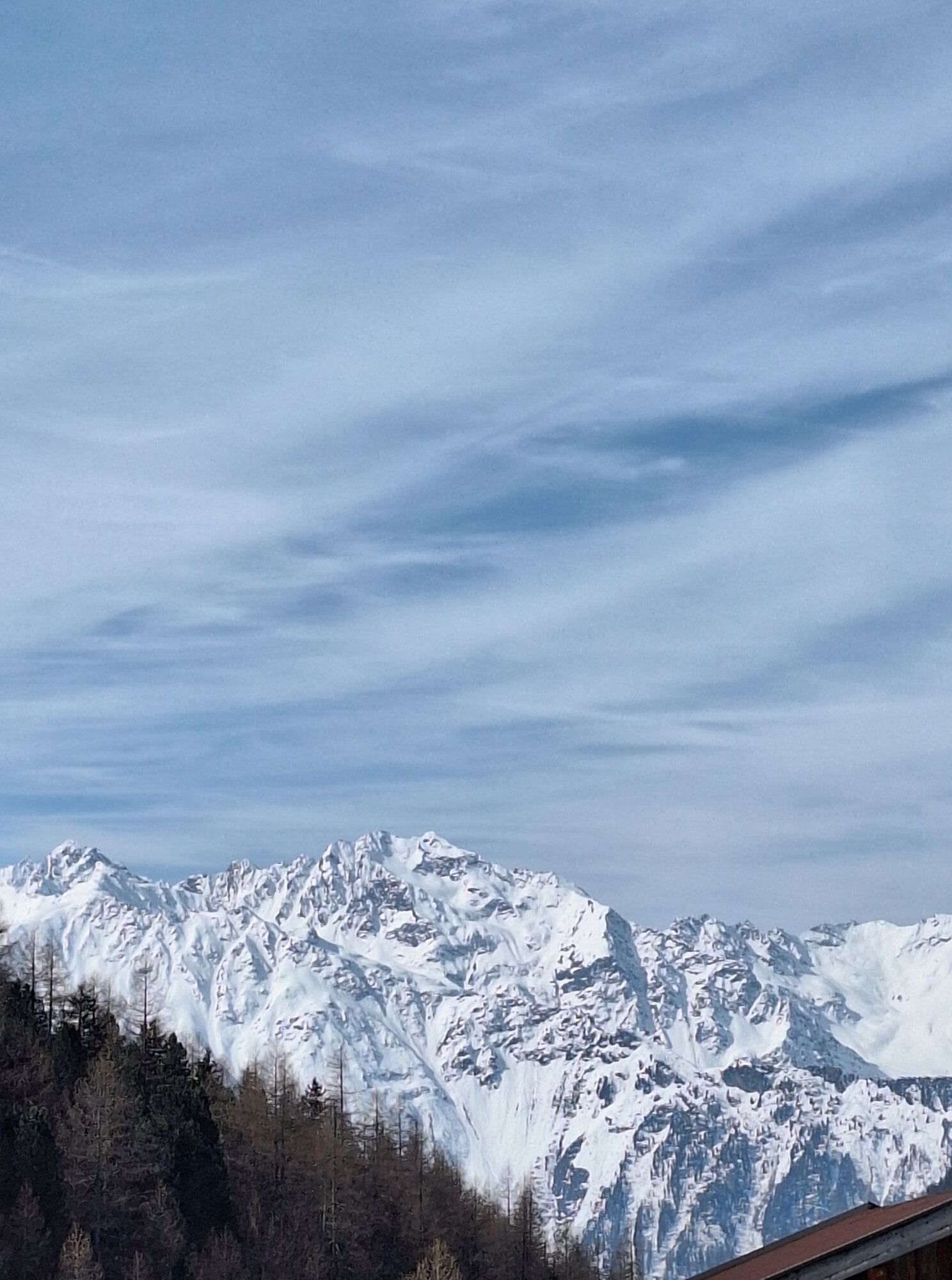
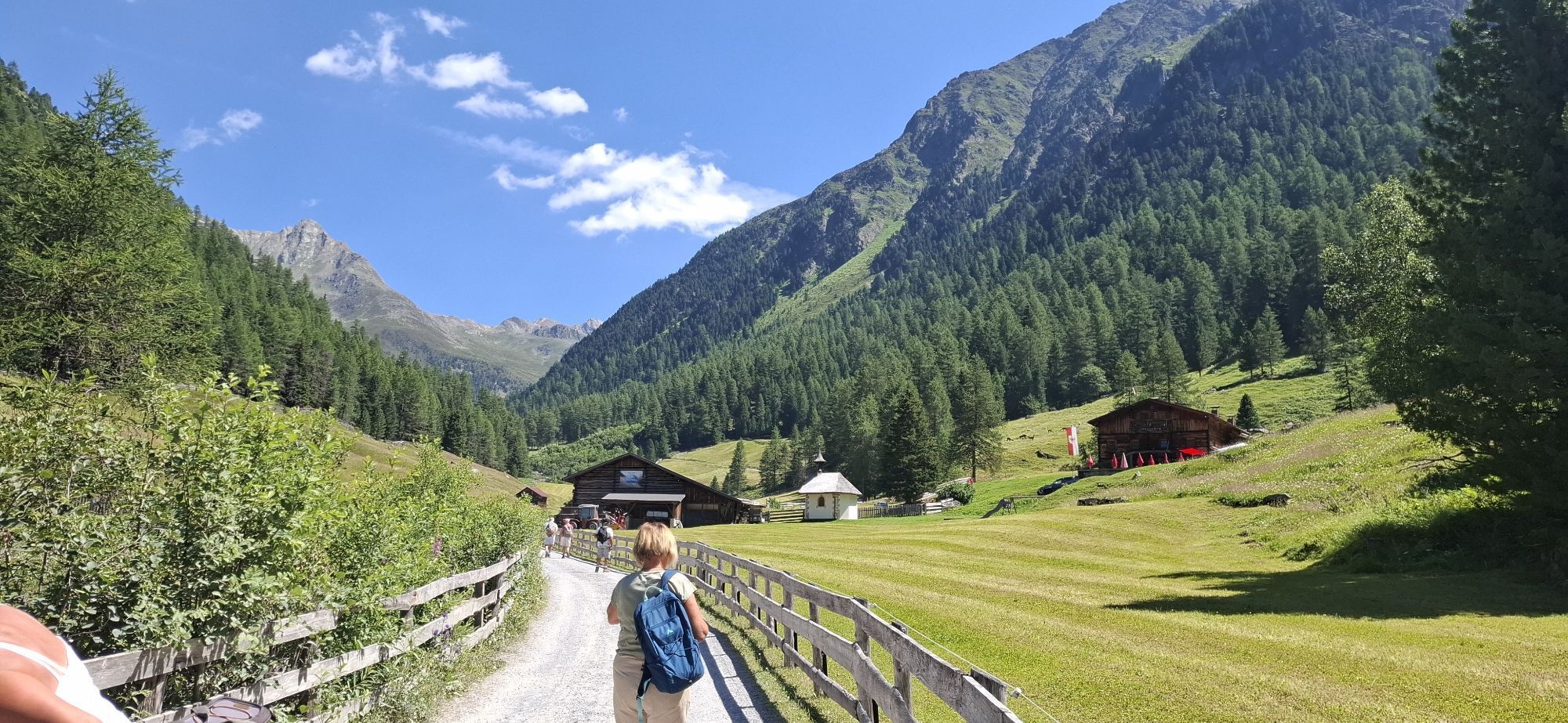
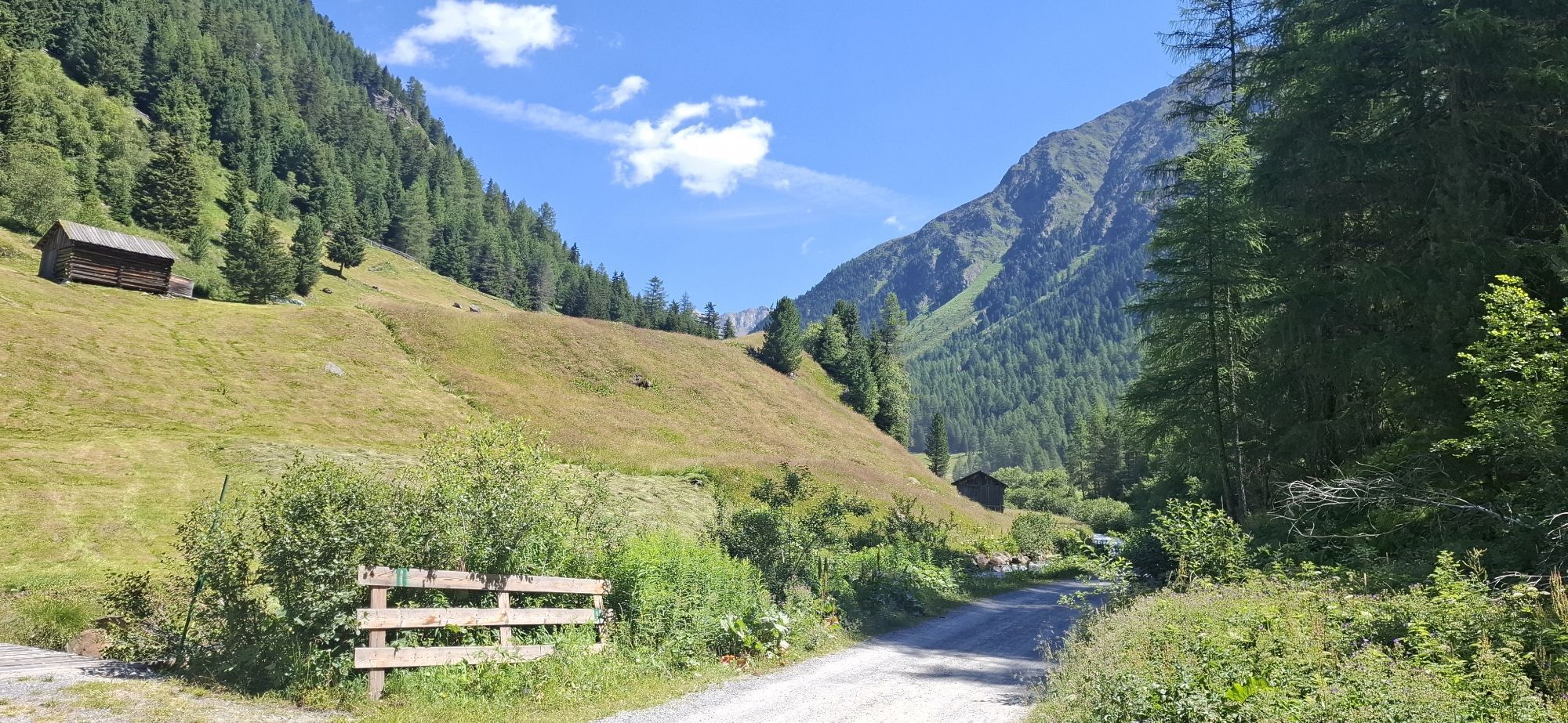
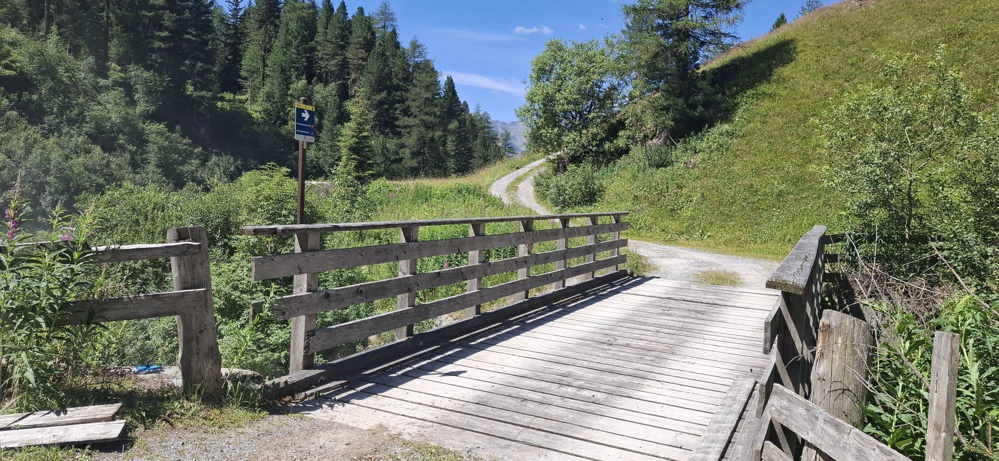
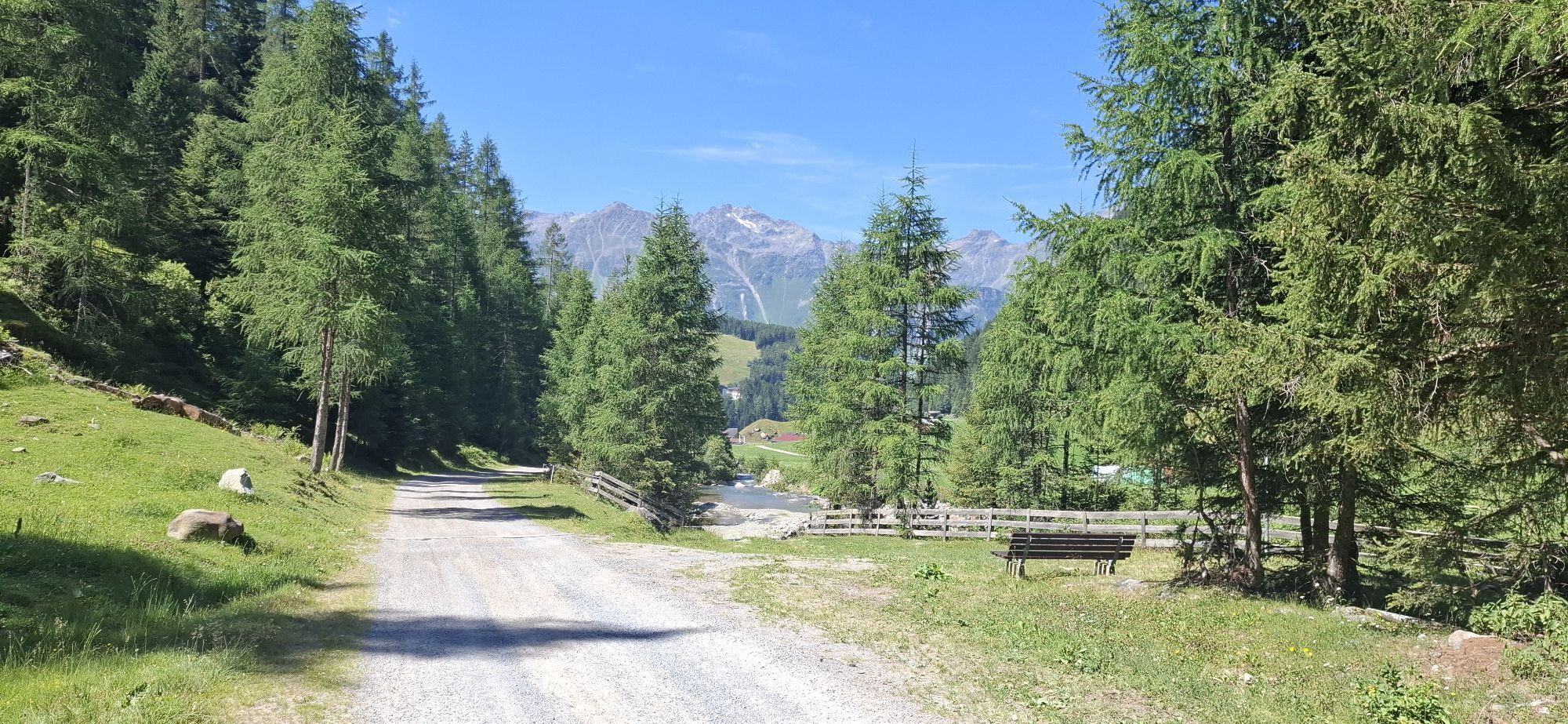
The hike begins in Niederthai at the Sennhof parking lot. From there, turn right over the wooden bridge towards the district of Höfle and after about 200 meters turn right into Bergmahderweg. You walk along the wide forest path – Bergmahderweg. The sunny spot by the Hubertus Chapel invites you to linger. The last section leads into a narrow descending hiking trail and over the bridge you reach the Larstigalm directly. On the way back you walk on the left side along Grastalweg past the Grastal field on the wide forest path through an enchanting larch and spruce forest. Over a slightly descending ridge with a railing, you reach the Hotel Falknerhof. There, following the asphalt road to the right, you return to the parking lot. Alternatively, at the curve before it goes down to Hotel Falknerhof, you can take a narrow, somewhat steeper hiking trail (shortcut) back to the starting point, the parking lot.

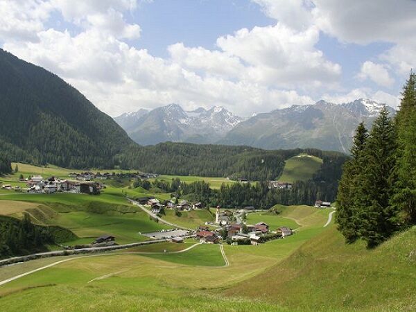
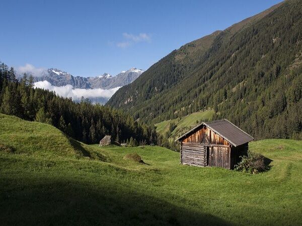
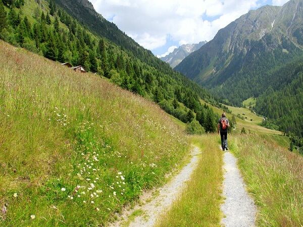
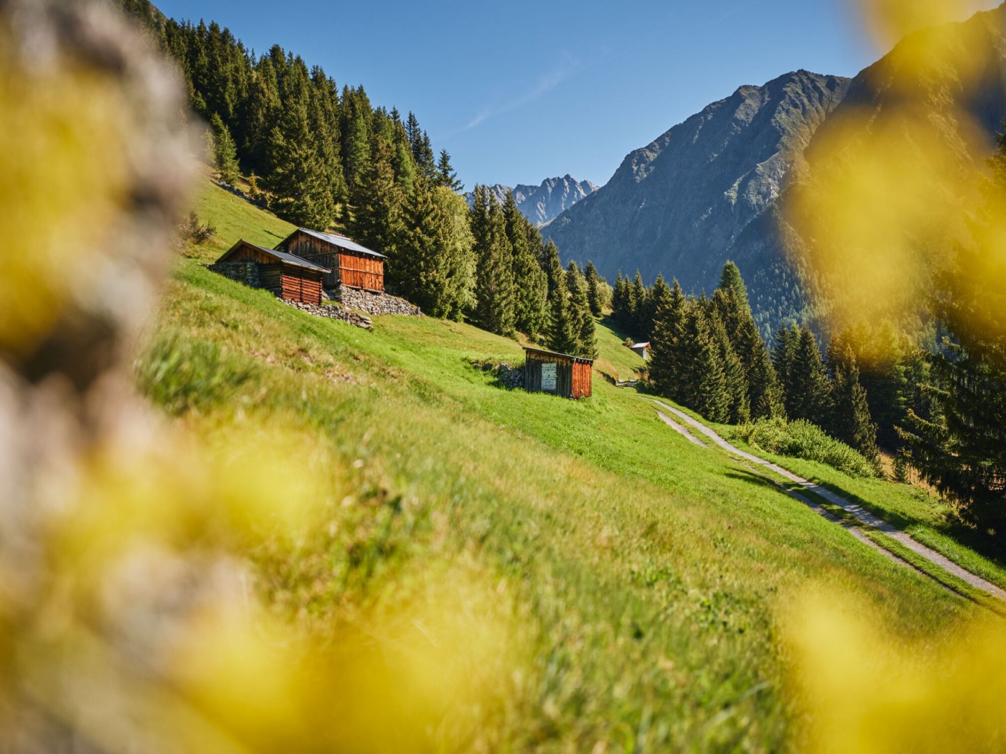
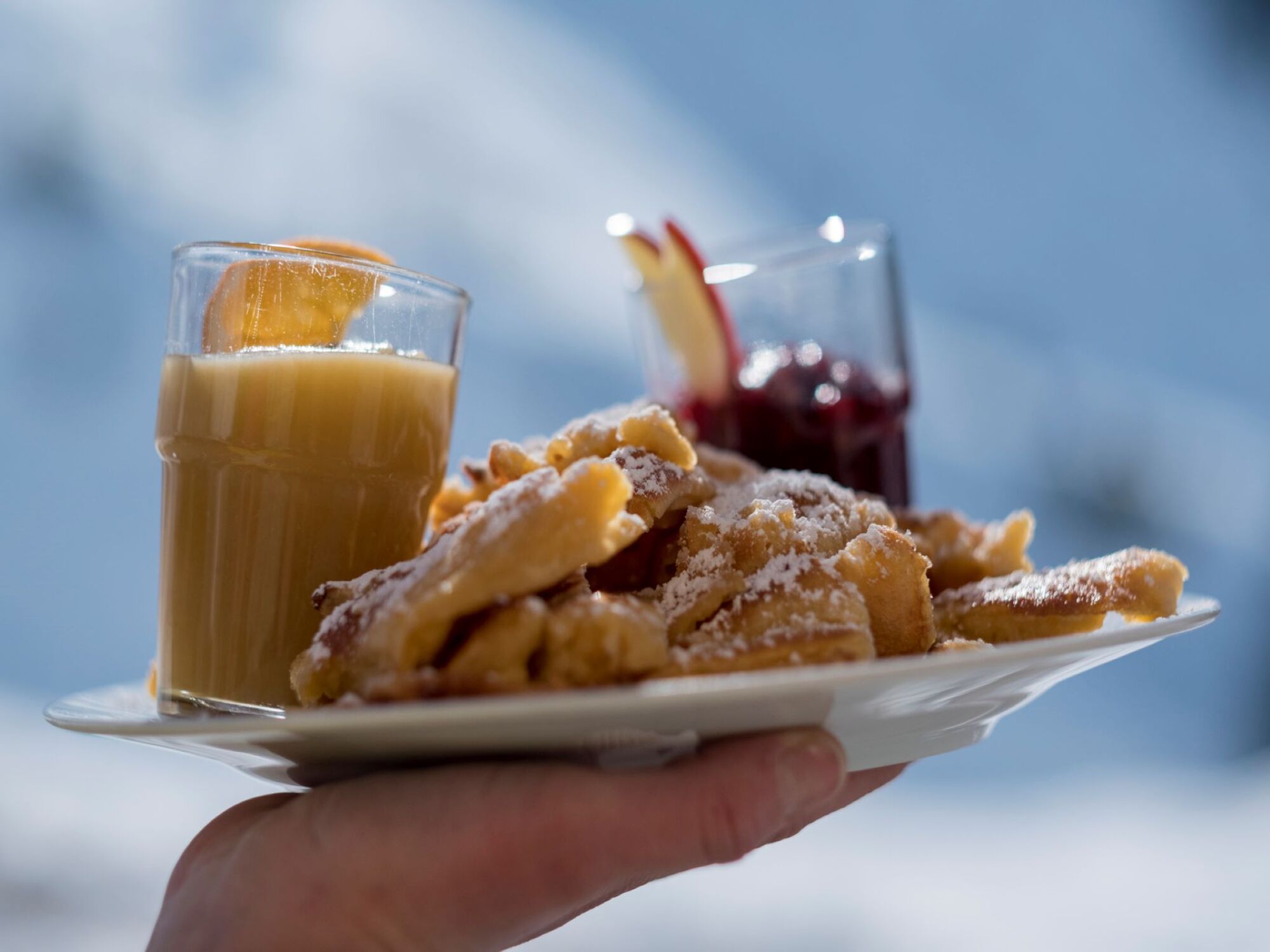
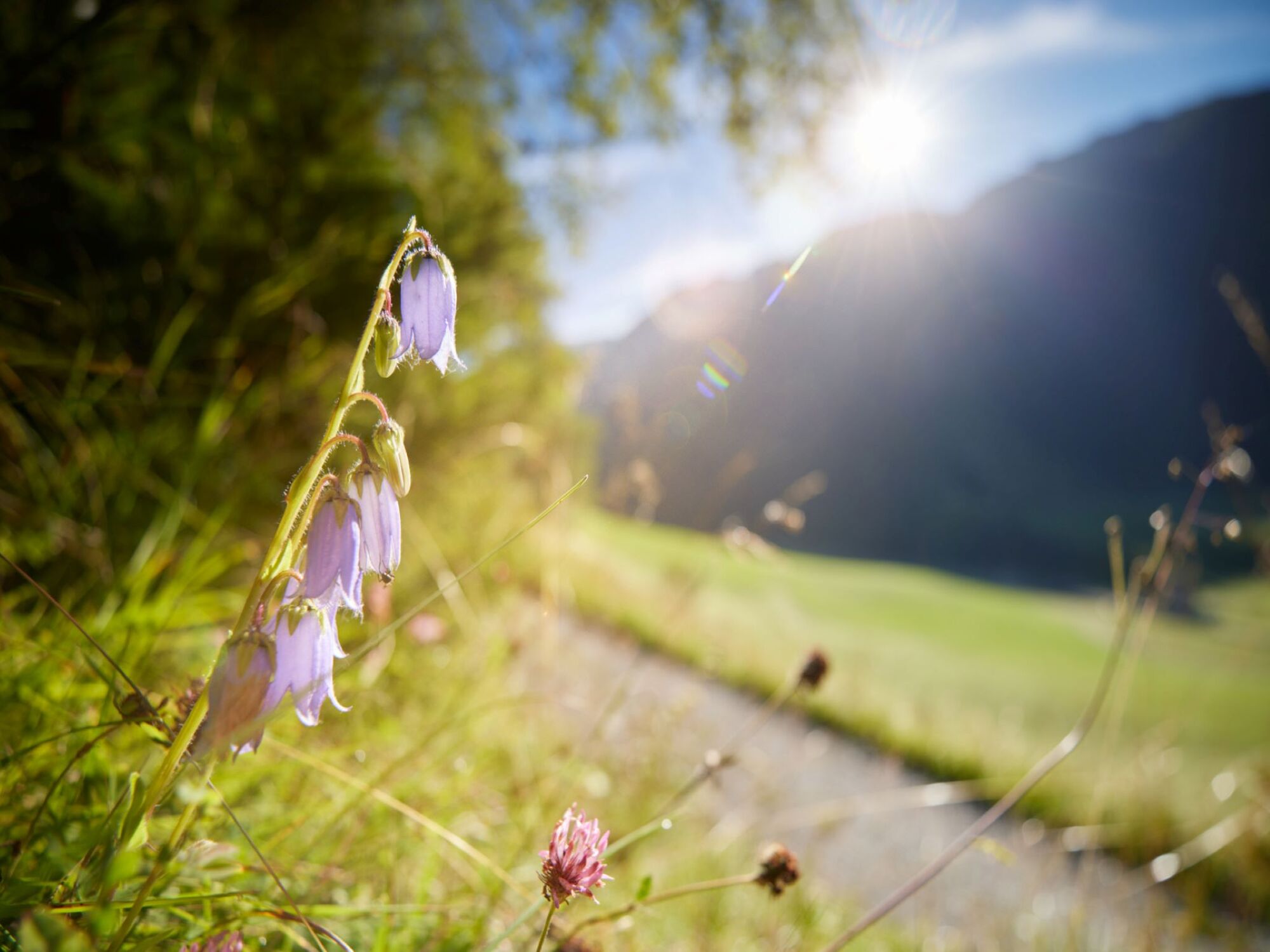

The hike begins in Niederthai at the Sennhof parking lot. From there, turn right over the wooden bridge towards the district of Höfle and after about 200 meters turn right into Bergmahderweg. You walk along the wide forest path – Bergmahderweg. The sunny spot by the Hubertus Chapel invites you to linger. The last section leads into a narrow descending hiking trail and over the bridge you reach the Larstigalm directly. There you can relax on the sunny terrace. The hospitality of Ludwig Scheiber and his wife, as well as the Tyrolean dishes on the menu, are especially appreciated by the numerous guests. By the way, most of the dishes are prepared with products from their own farm. On the way back, you walk on the left side along Grastalweg past the Grastal field on the wide forest path through an enchanting larch and spruce forest. Over a slightly descending ridge with a railing, you reach the Hotel Falknerhof. There, following the asphalt road to the right, you return to the parking lot. Alternatively, at the curve before it goes down to Hotel Falknerhof, you can take a narrow, somewhat steeper hiking trail (shortcut) back to the starting point, the parking lot.
Tak
Appropriate equipment such as breathable and weather-appropriate outdoor clothing, ankle-high hiking boots, wind, rain and sun protection, hat, possibly gloves, is required for all hikes and routes. Carrying a first aid kit, a mobile phone and possibly a hiking map is necessary, as well as sufficient provisions for hikes without opportunities to stop for refreshments.
Easy hiking trail; suitable for beginners and walkers
Please observe the current weather report
The car journey into the ÖTZTAL. Located in Tyrol, the ÖTZTAL branches off to the south as the longest side valley of the Eastern Alps. Traveling by car leads vacationers via the Inn valley to the entrance of the valley and further along the Ötztal. In addition to the toll motorway, country roads can also be used. The route planner allows you to determine your journey quickly and conveniently.
To the route planner: https://www.google.at/maps
Travel comfortably and safely by train to the Otztal train station. The final stop or exit point is the ÖTZTAL station. Afterwards, you travel conveniently and quickly by public bus or local taxi companies through the entire valley to your desired destination! The current bus schedule is available at: http://fahrplan.vvt.at
In Niederthai, the following parking options are available:
Sennhof parking lot | Cost: € 6.00 per car day ticket, mandatory from 7:00 am to 6:30 pm, multi-day tickets possible | Guests with disabilities - visibly display ID - park for free | Buses park for freeMore information about hiking in the Ötztal can be found here

Kamery internetowe z trasy



Popularne wycieczki w okolicy
- 4,7
Winnebachsee Hut – Längenfeld/Gries
średniWędrówka 4,74 km - 4,7
Winter circular route Brandalm/Burgstein - Längenfeld 204
średniWędrówka zimą 5,44 km - 4,4
Hike Stuibenfall - Umhausen
światłoWędrówka 2,95 km - 4,4
Stuibenfall Umhausen circular hike
światłoWędrówka 9,32 km - 4,5
Oetz - Piburger See - Oetz
średniWędrówka 7,16 km - 4,4
Hundstalsee
średniWędrówka 7,35 km - 4,5
KÜHTAI: Kühtai (2020) - Sulzkogel (3016) - Mute (2398)
średniWycieczka wysokogórska 15 km - 4,4
Rundwanderung Hängebrück3
światłoWędrówka 6,32 km - 4,3
Lampsenspitze, Sellrain, Tirol
średniWycieczka narciarska 4,97 km - 4,3
Umhausen - Stuibenfall - Umhausen
średniWędrówka 7,94 km
Wędrówki i tropienie


Nie przegap ofert i inspiracji na następne wakacje
Twój adres e-mail została dodana do listy mailingowej.





