


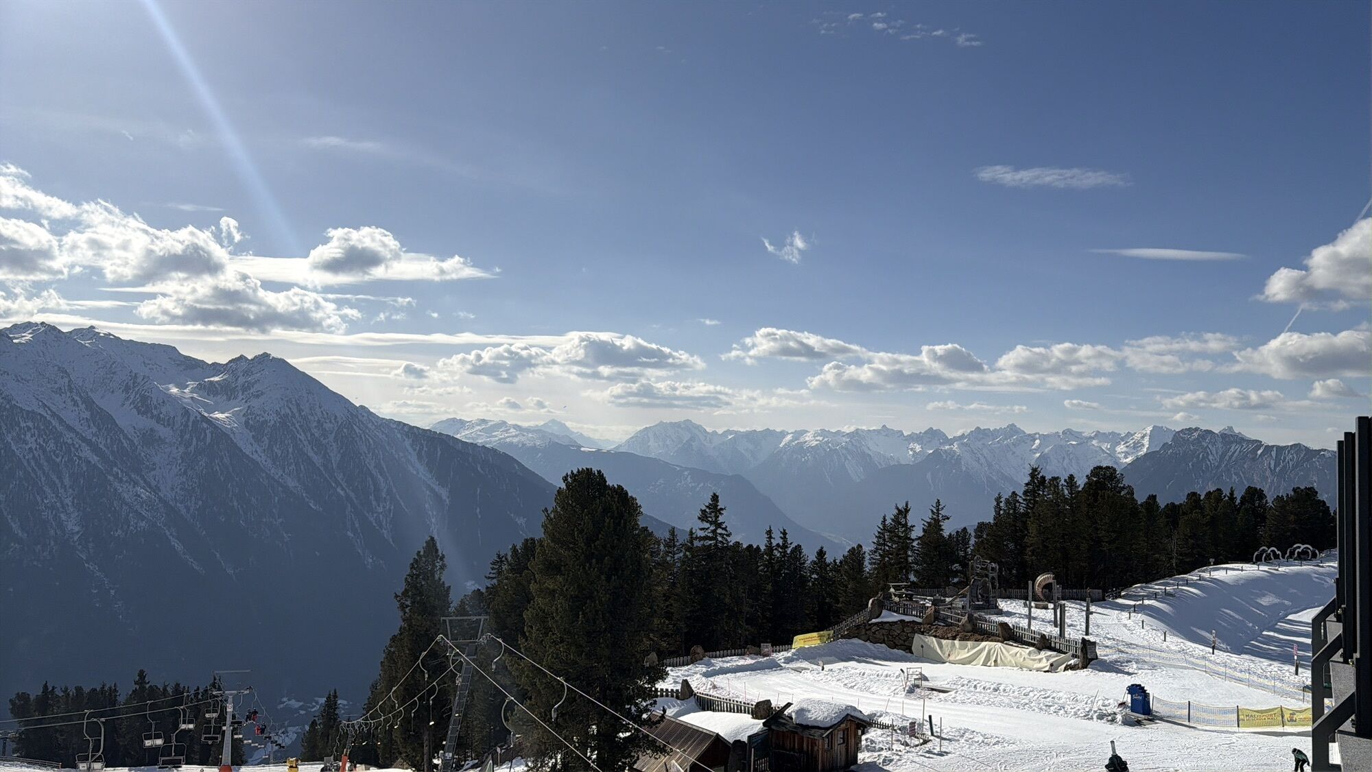
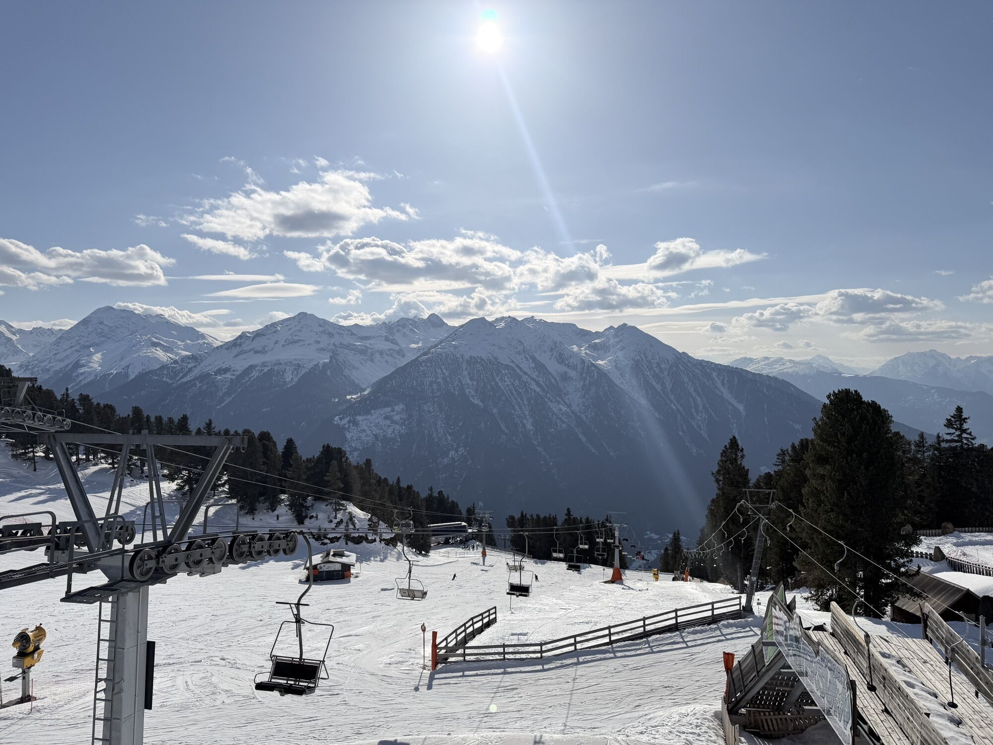
Summit route Weather Cross from Hochoetz
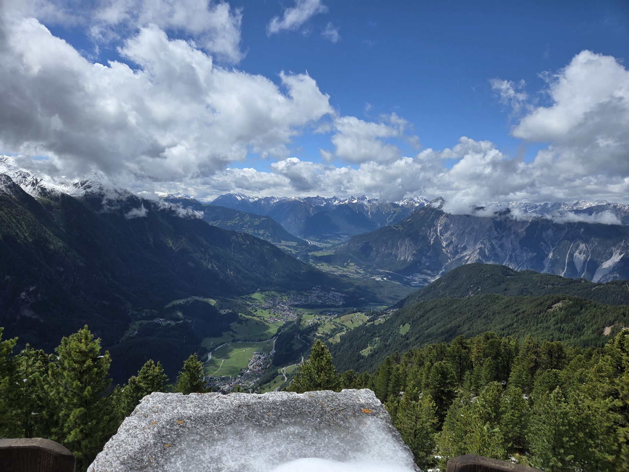
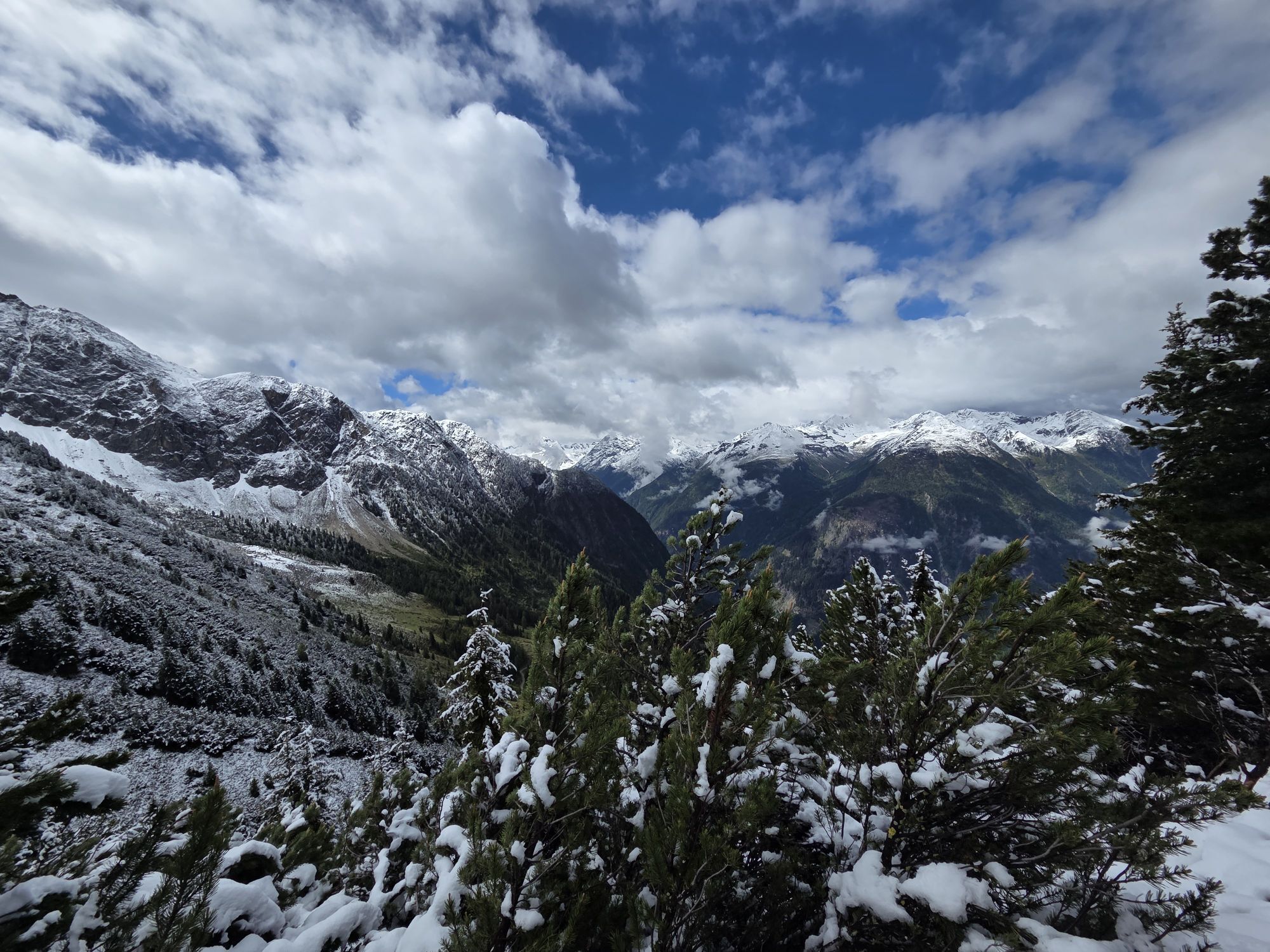
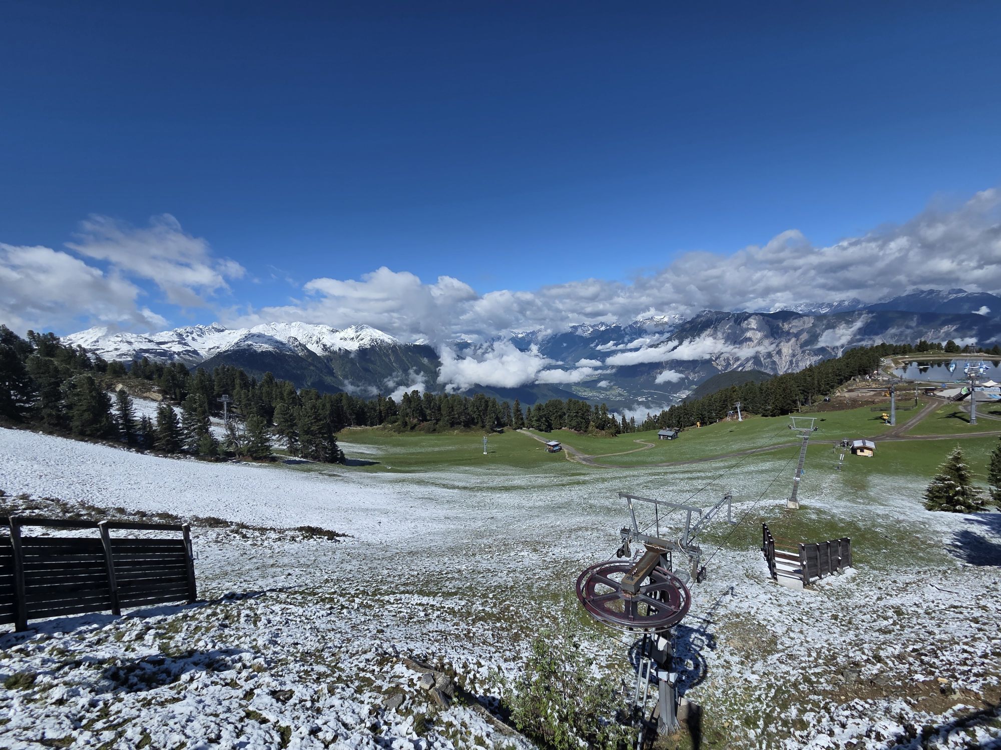
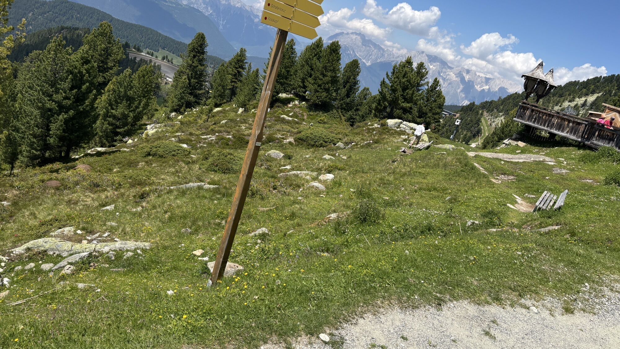

From the mountain station of the Acherkogelbahn, walk on the wide forest road to the Bielefelder Hut (2,150 m). Pass the hut and reach a steep path towards Mohrenkopf. Below the summit, the well-trodden...
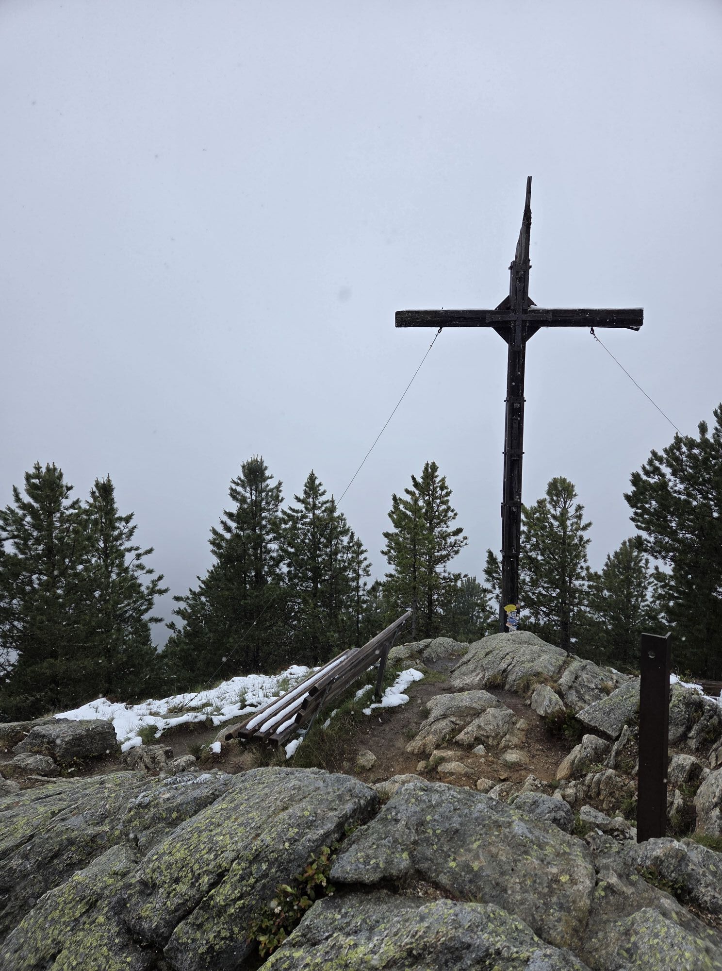
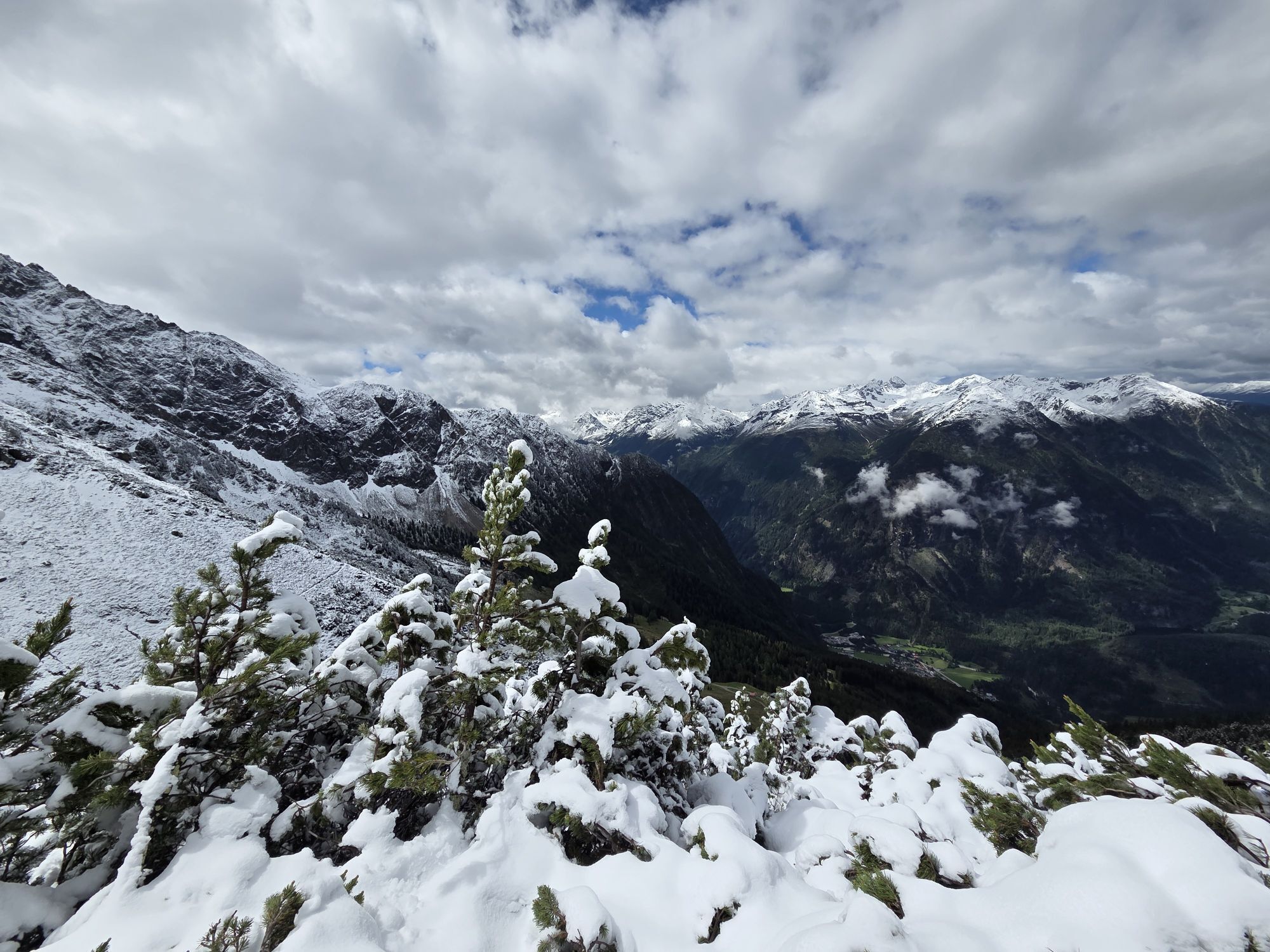
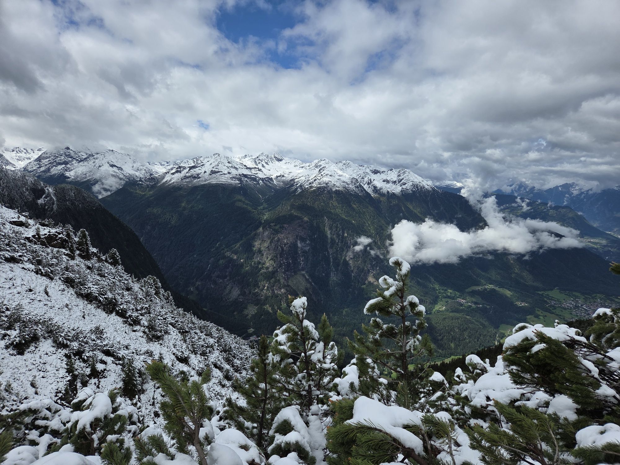
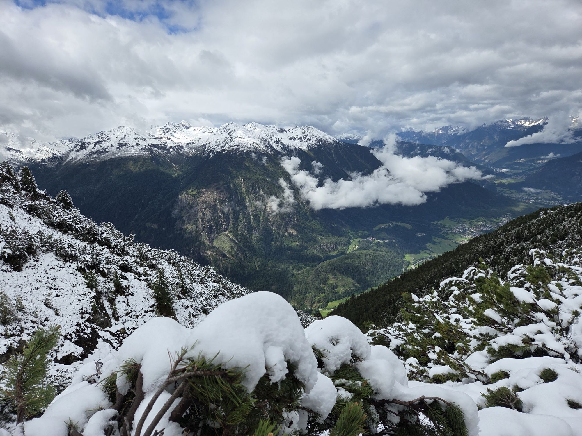
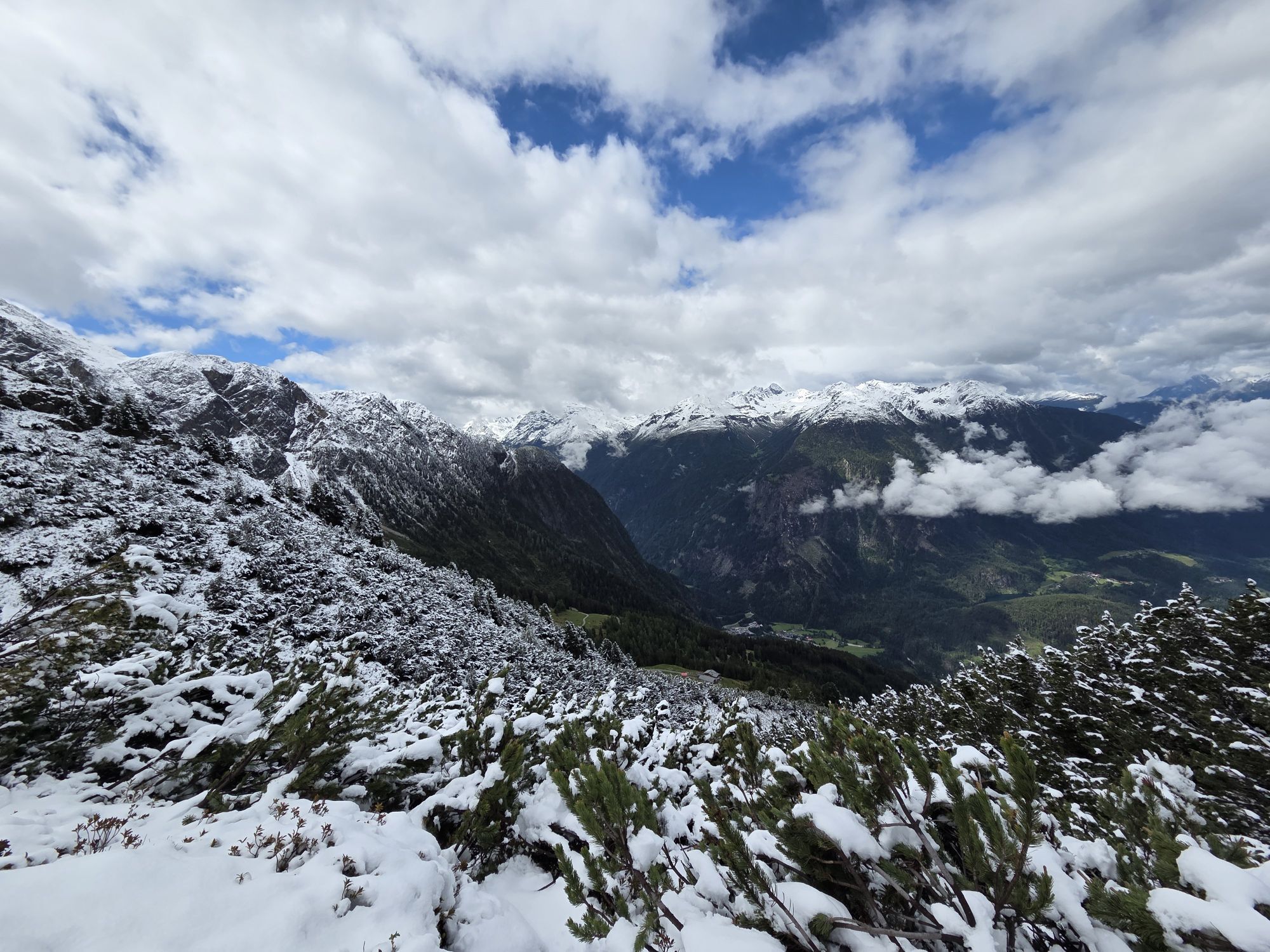
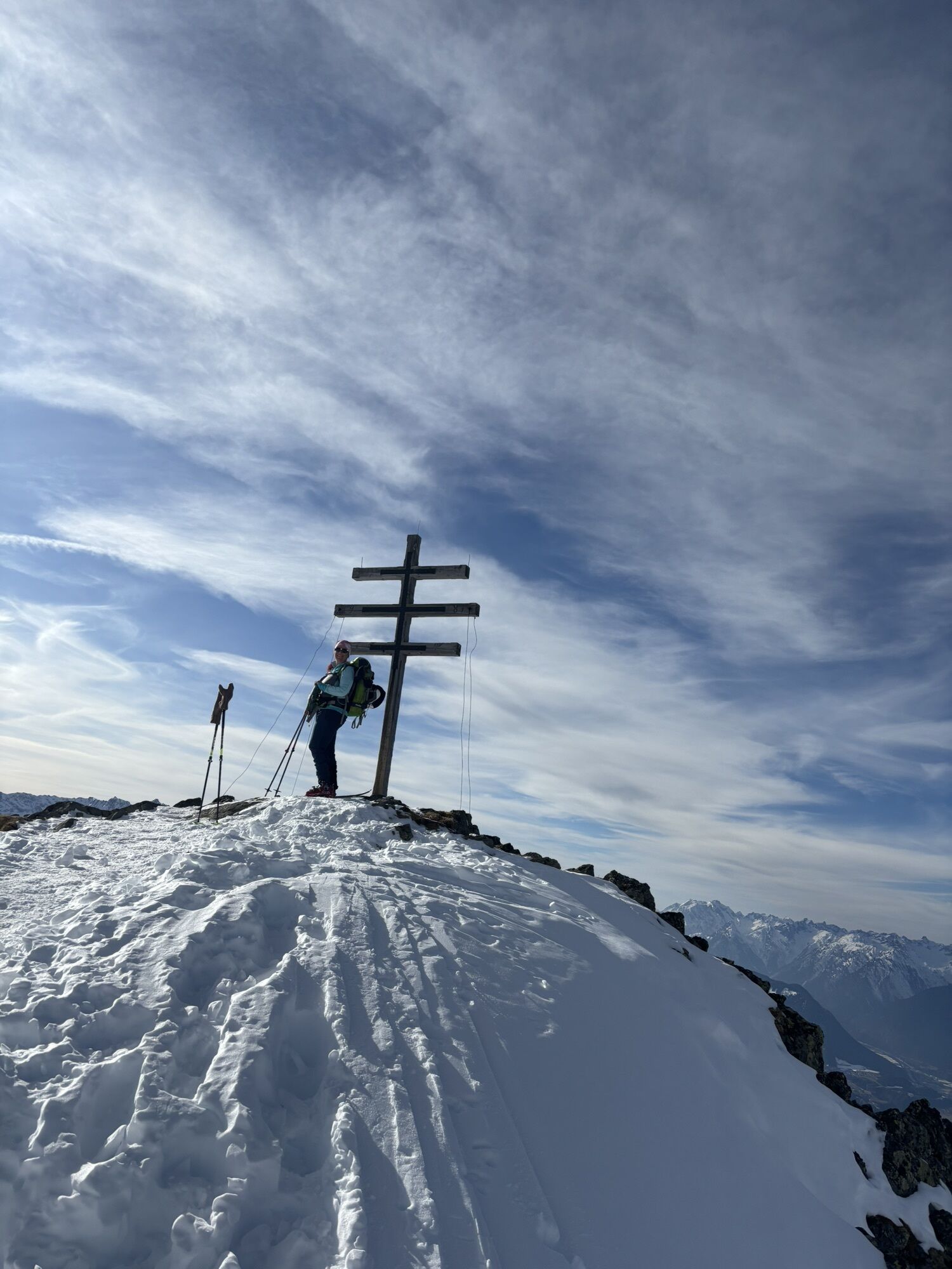
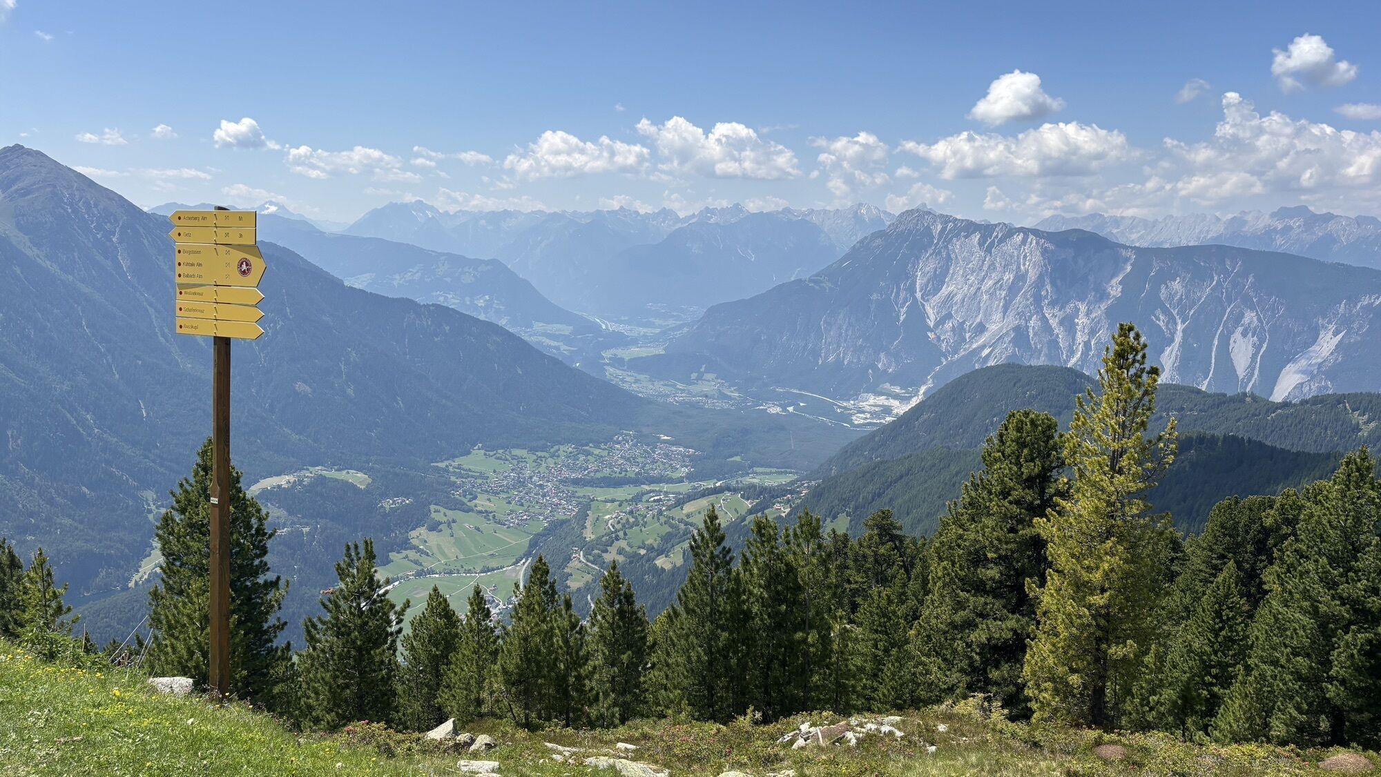
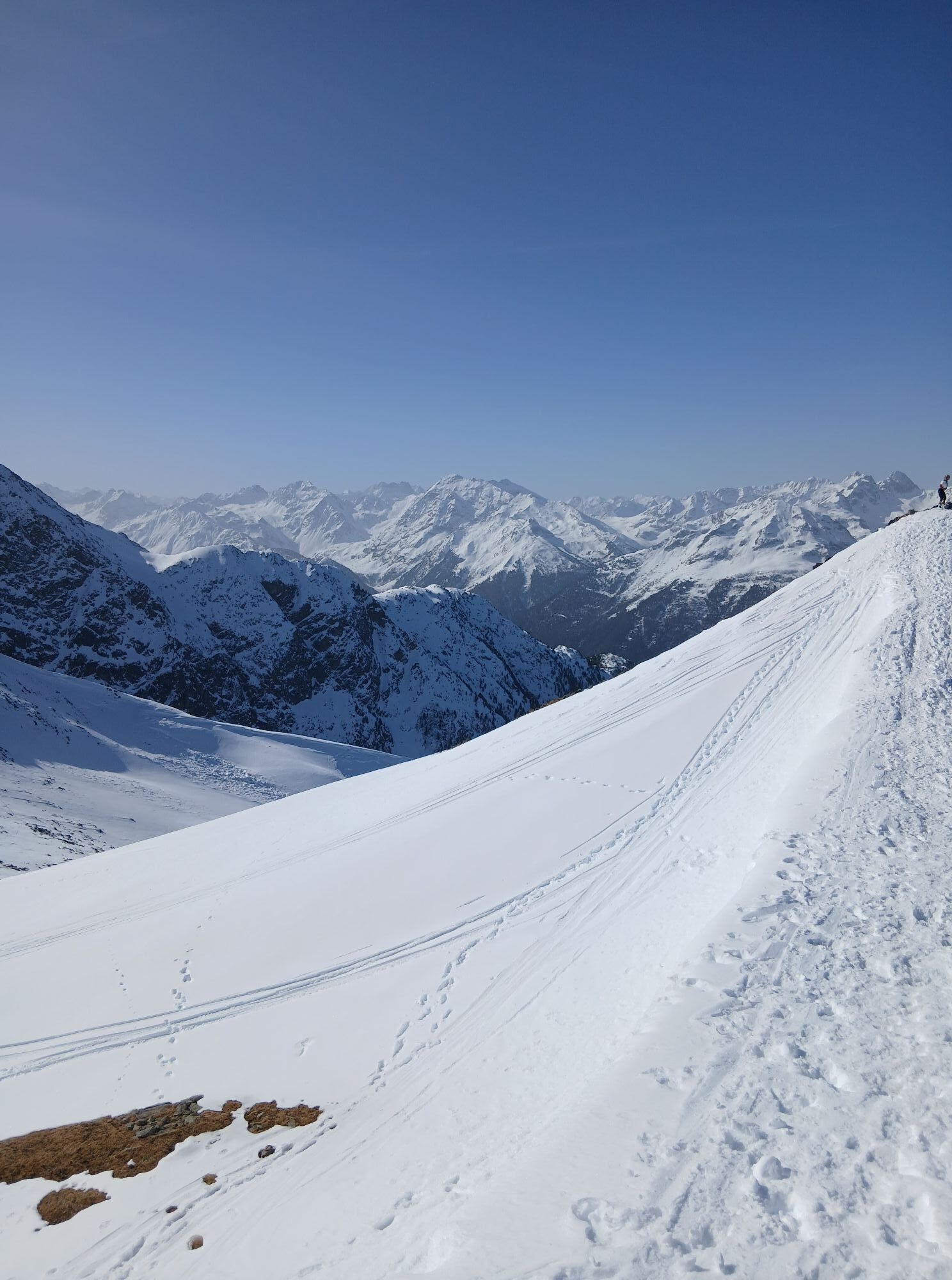
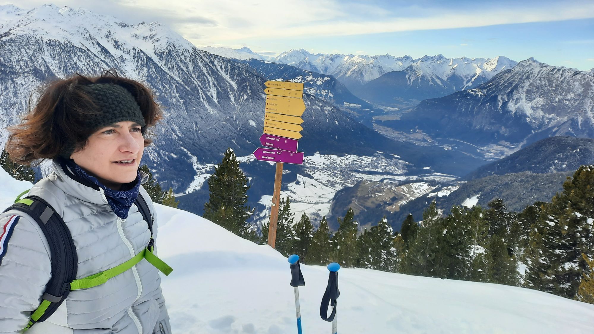
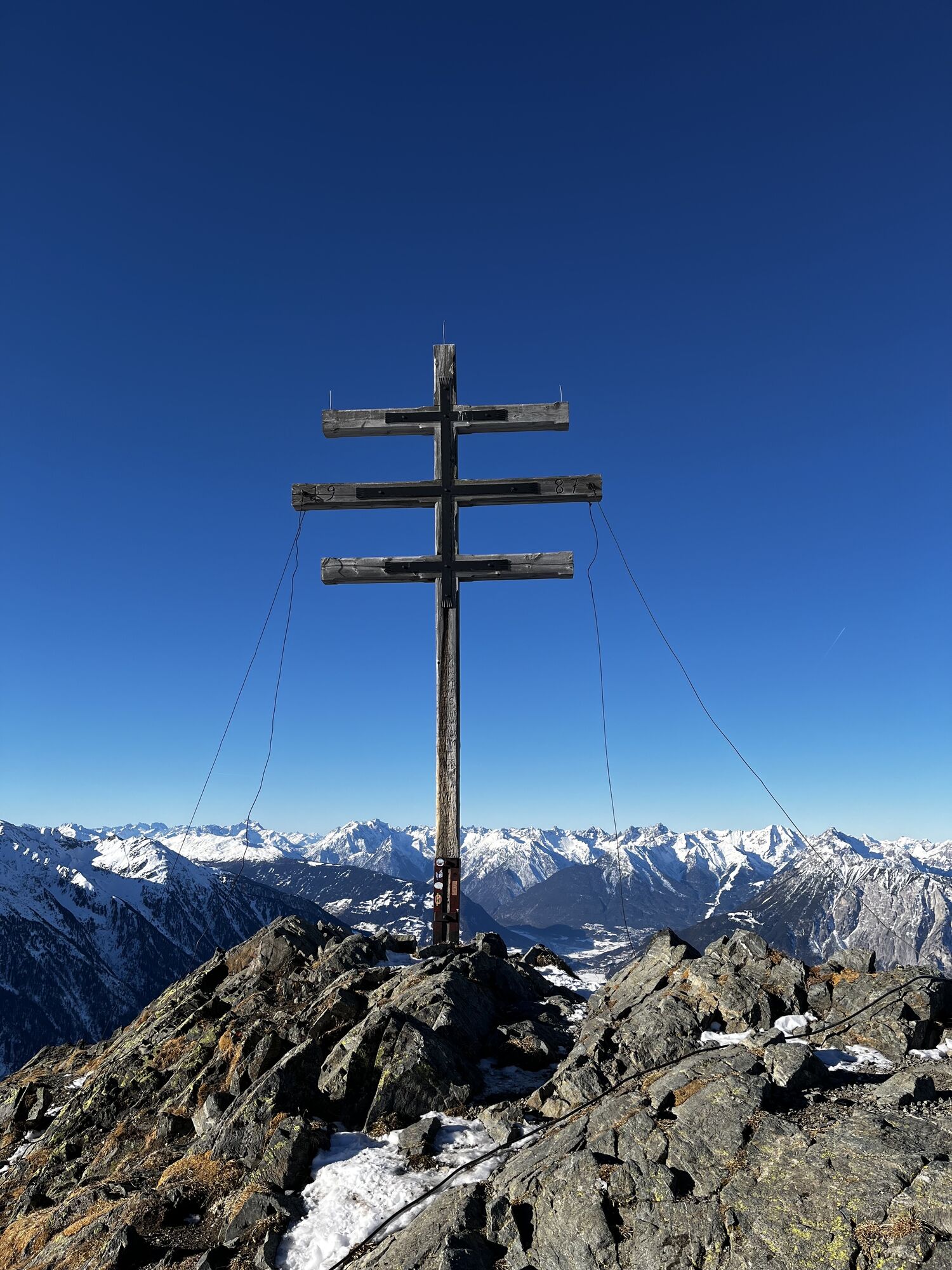
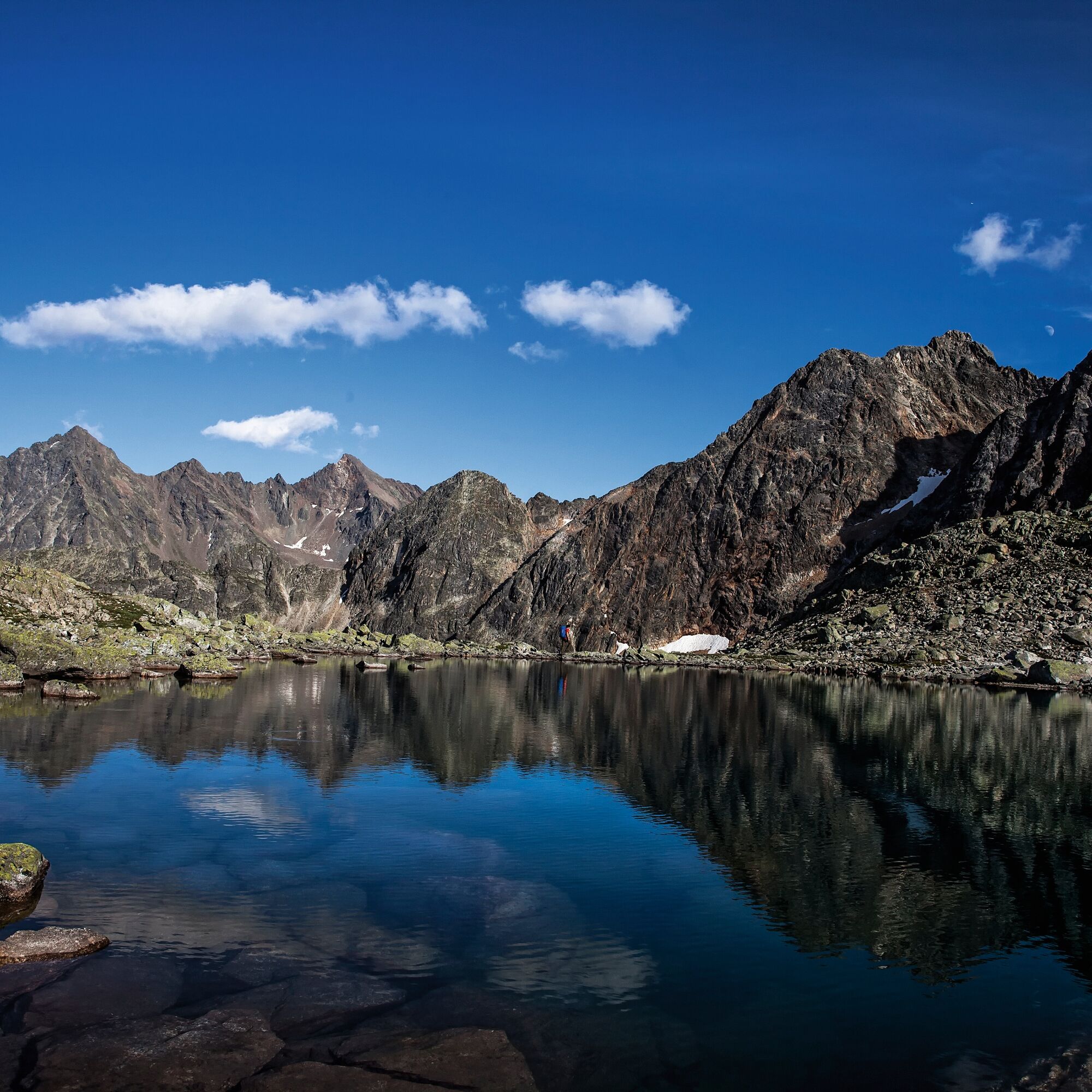
From the mountain station of the Acherkogelbahn, walk on the wide forest road to the Bielefelder Hut (2,150 m). Pass the hut and reach a steep path towards Mohrenkopf. Below the summit, the well-trodden "Reflection Path" branches off to the right. Follow it for a while until a junction. There, keep left and hike up over the Rosskopf to the weather cross (2,591 m). Several options are available for the return journey.
1) Same way back
2) Descent through the Wörgetal - along the Knappenweg and then to the Balbach Alm and back to the mountain station (duration of the entire round approx. 6h)
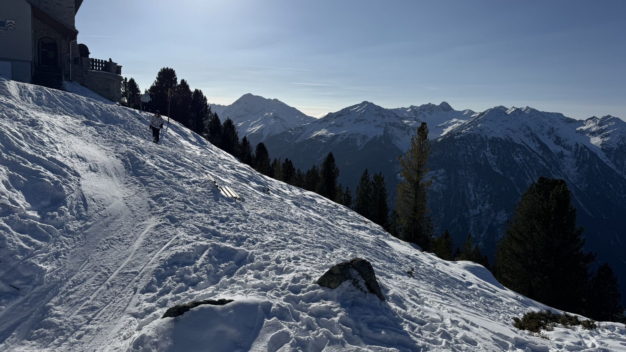
3) Descent to the old Bielefelder Hut. This path is partly exposed and requires some mountain experience. From the dilapidated hut, go to the Acherberg Alm (1,888 m) and then slightly uphill back to the panorama restaurant.

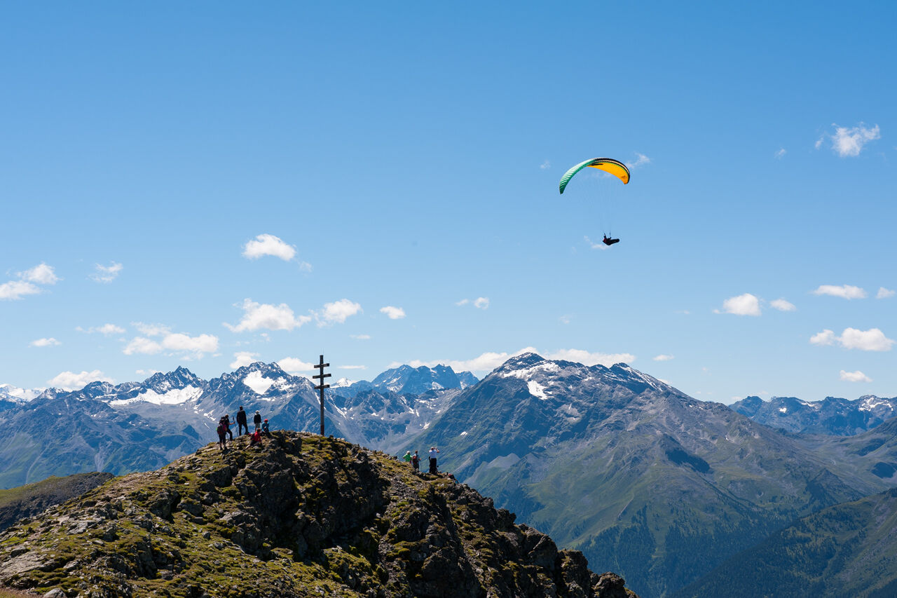
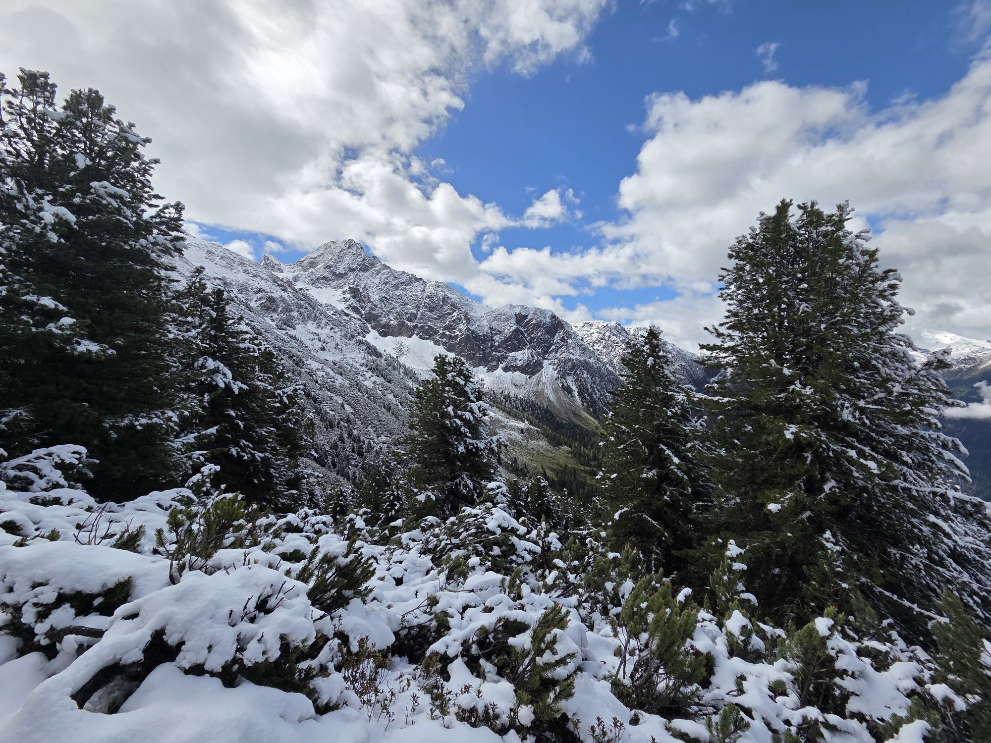
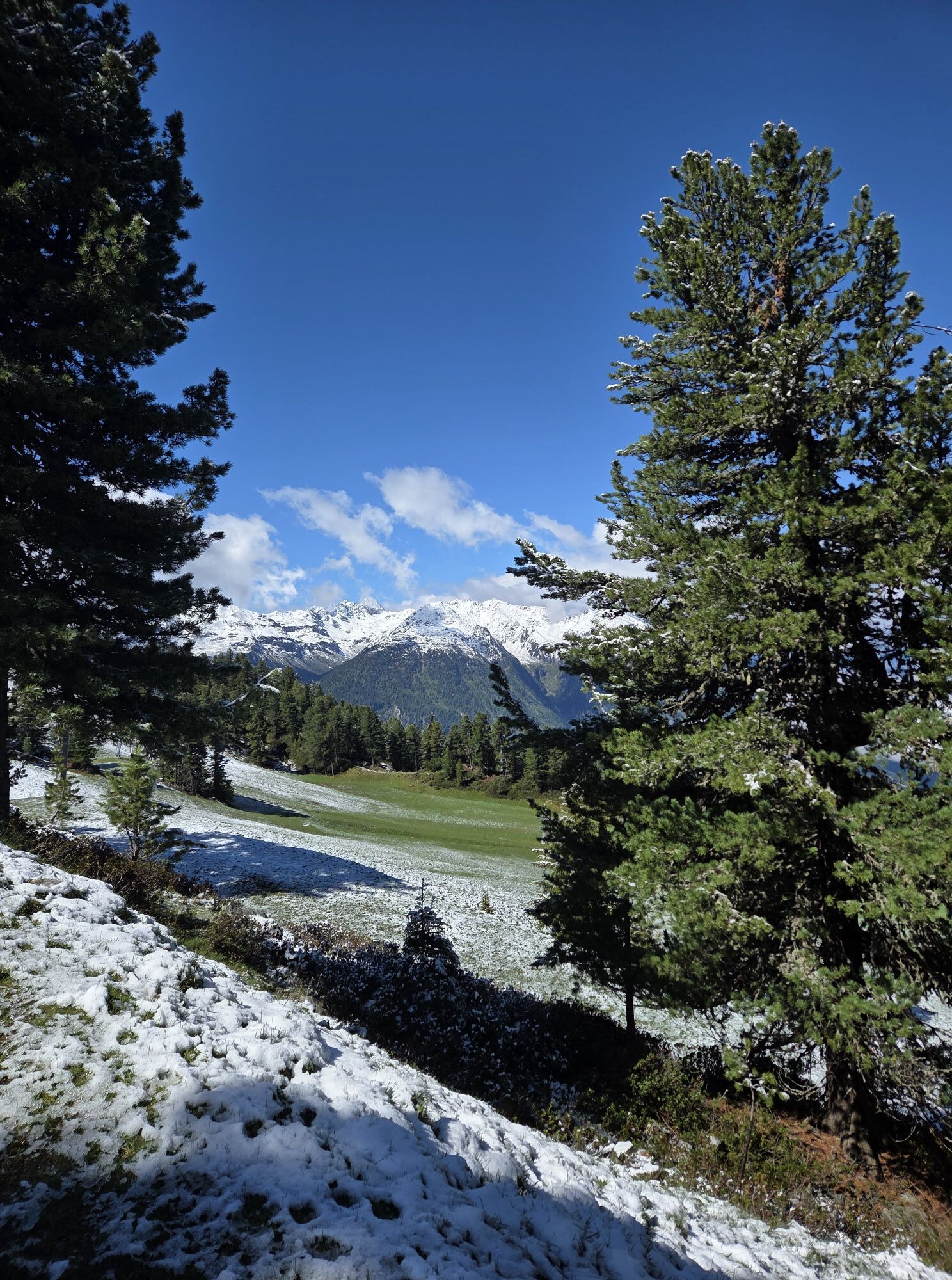
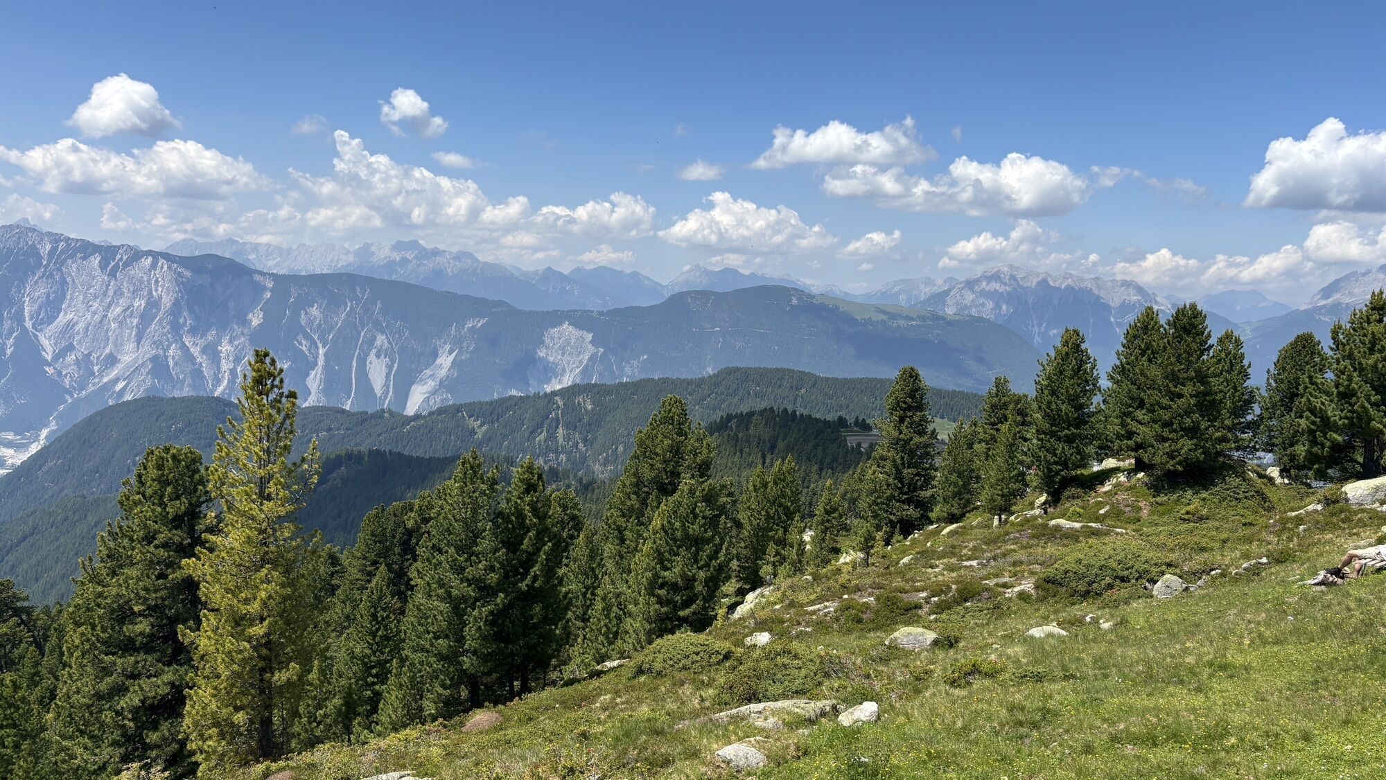
From the mountain station of the Acherkogelbahn, follow the wide forest road to the Bielefelder Hut (2,150 m). Pass the hut and hike on a well-maintained trail over the Rosskopf up to the weather cross (2,591 m). Several options are available for the return journey.
1) Same way back
2) Descent through the Wörgetal - along the Knappenweg and then to the Balbach Alm and back to the mountain station (duration of the entire round approx. 6h)
3) Descent to the old Bielefelder Hut. This path is partly exposed and requires some mountain experience. From the dilapidated hut, go to the Acherberg Alm (1,888 m) and then slightly uphill back to the panorama restaurant.
Tak
Tak
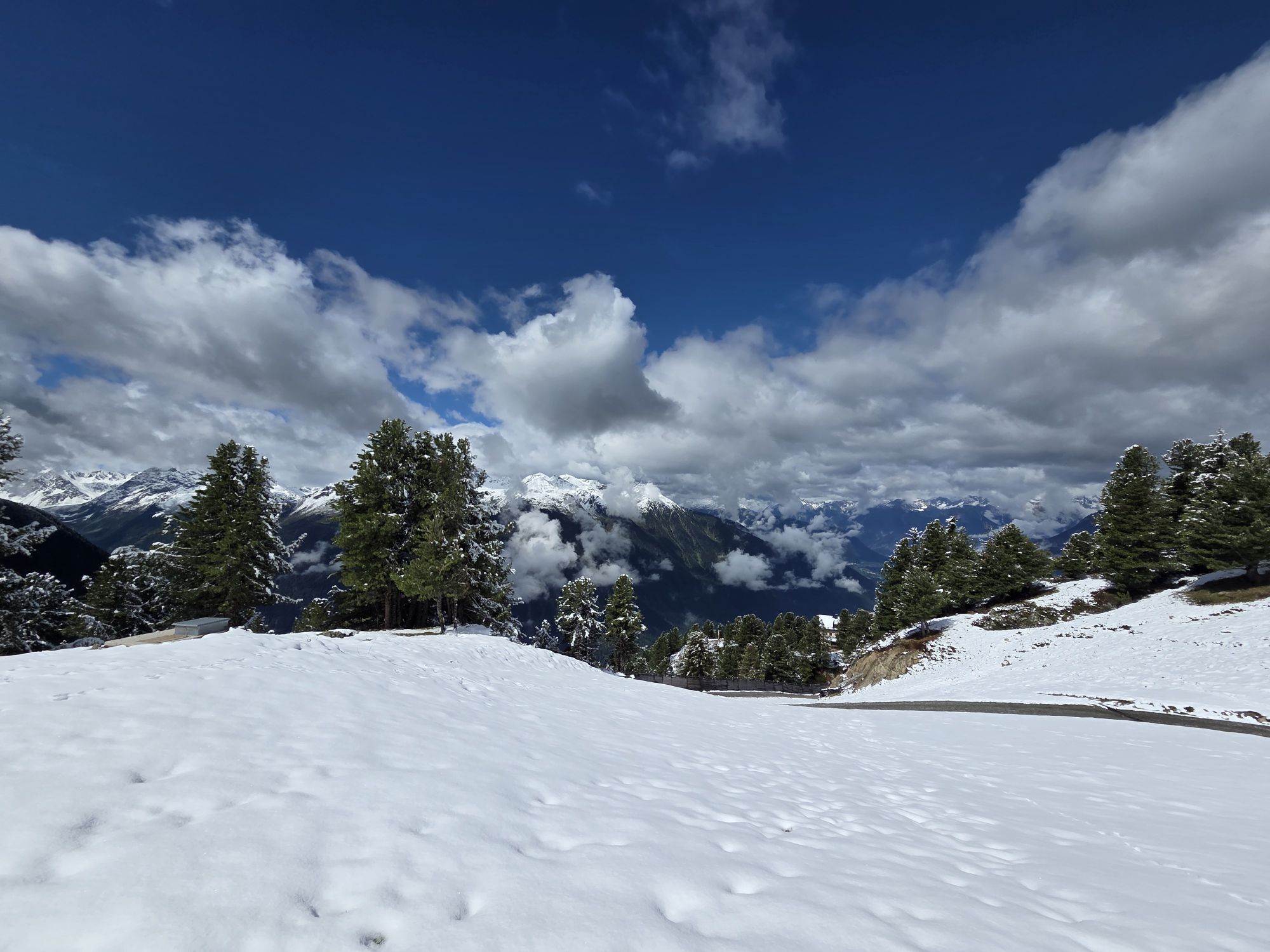
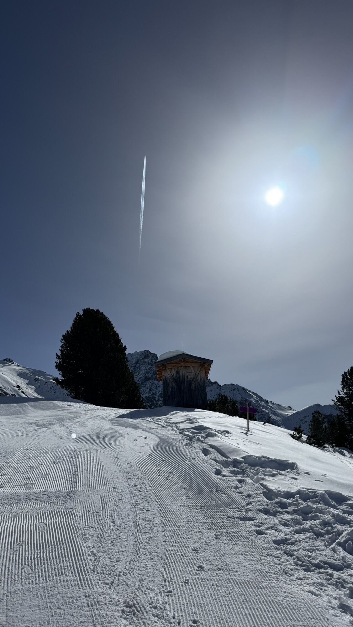
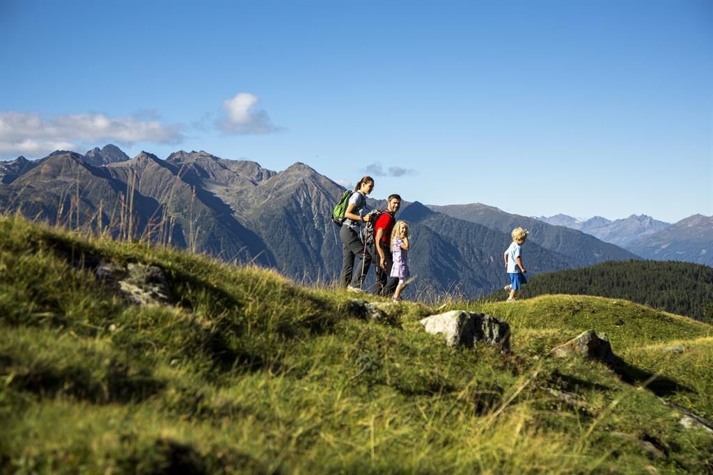
Appropriate equipment such as breathable and weather-appropriate outdoor clothing, ankle-high hiking boots, wind, rain, and sun protection, a hat, and possibly gloves are required for all hikes and tours. It is necessary to carry a first-aid kit, a mobile phone, and possibly a hiking map, as well as enough provisions for hikes without catering options.
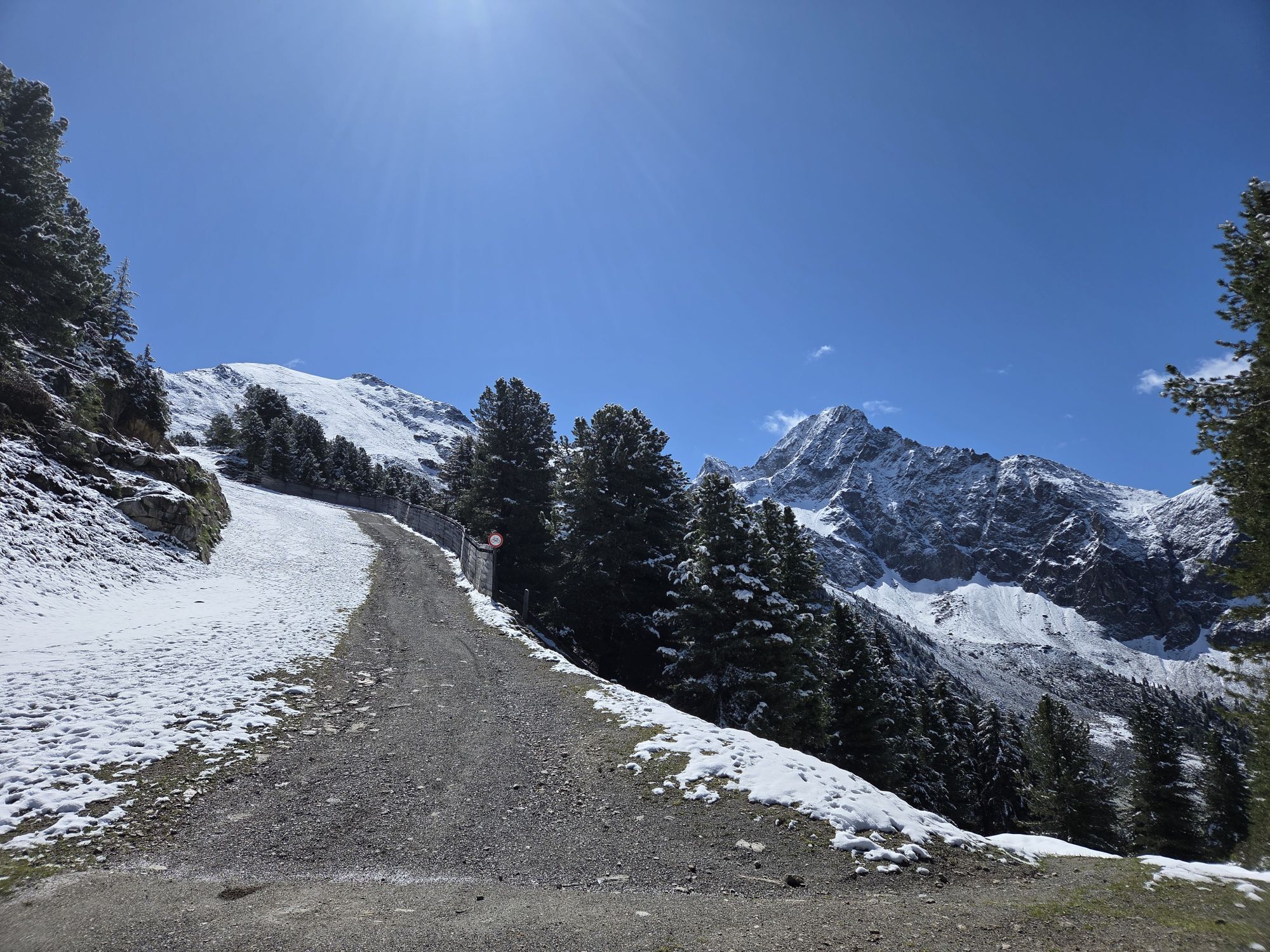
Moderate mountain path; suitable for sure-footed and experienced mountain hikers; good physical condition, mountain experience, and equipment (see equipment section) necessary. Please check the current weather report at: www.oetztal.com/de/sommer.html
The car drive to the ÖTZTAL. Located in Tyrol, the ÖTZTAL branches off to the south as the longest side valley of the Eastern Alps. Travelers arrive by car via the Inn Valley to the valley entrance and continue along the Ötztal. Besides the toll motorway, country roads can also be used. The route planner allows you to plan your drive quickly and conveniently: To the route planner: www.google.at/maps
Travel comfortably and safely by train to the Ötztal train station. The final station or exit point is the ÖTZTAL station. Then travel conveniently and quickly with public transport or local taxi companies throughout the valley to your desired destination! The current bus schedule is available at: http://fahrplan.vvt.at
The following parking options are available:
Acherkogelbahn parking lot (fee required) Rafting entry point parking lot (at the end of Oetz on the right side) (fee required) Oetz center parking lot (fee required) Parking overnight during multi-day tours: Oetz center parking lot, tickets are available at the Oetz information office. If you take the Ochsengarten gondola, free parking is available in Ochsengarten - camping prohibitedMore information about hiking in the Ötztal: https://www.oetztal.com/wandern
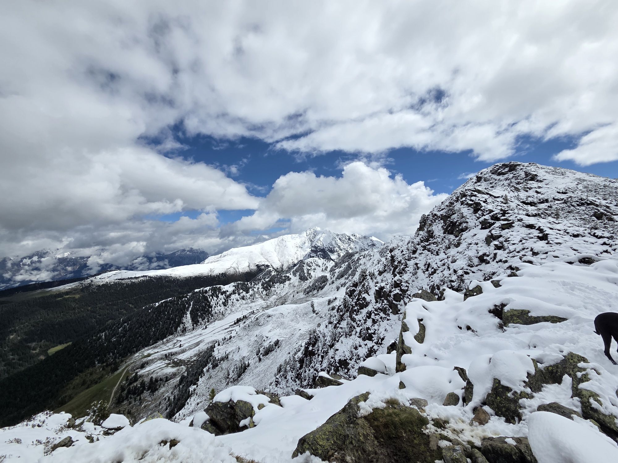
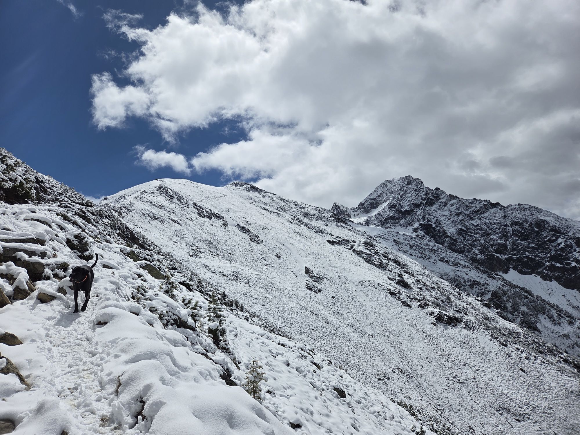
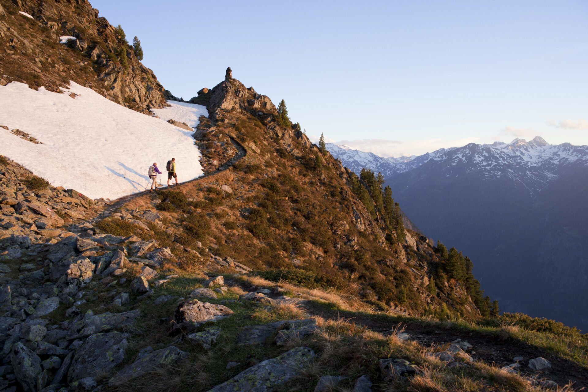
If you are not completely free of vertigo, you can already cross the slope below the Rosskopf and thus avoid the short ridge section.

Popularne wycieczki w okolicy
- 4,2
Hike Stuibenfall - Umhausen
światłoWędrówka 2,95 km - 4,4
Stuibenfall Umhausen circular hike
światłoWędrówka 9,32 km - 4,5
Oetz - Piburger See - Oetz
średniWędrówka 7,16 km - 4,3
Lampsenspitze, Sellrain, Tirol
średniWycieczka narciarska 4,97 km - 4,1
Arzkasten - Lehnberghaus
światłoWędrówka 3,08 km - 4,6
Umhausen - Stuibenfall - Umhausen
średniWędrówka 7,94 km - 4,7
Circular hike Bergmahderweg - Niederthai
światłoWędrówka 7,60 km - 4,6
Summit route Faltegartenköpfl
średniWędrówka 4,04 km - 4,8
lake Piburger See
światłoWędrówka 2,75 km - 5,0
Larstigalm - Niederthai
światłoWędrówka 3,24 km
Wędrówki i tropienie


Nie przegap ofert i inspiracji na następne wakacje
Twój adres e-mail została dodana do listy mailingowej.